







GeoRoute 9 - "Hike over the tropical Ruhla island", circular route Ruhla - UNESCO Global Geopark Thuringia Inselsberg - Drei Gleichen

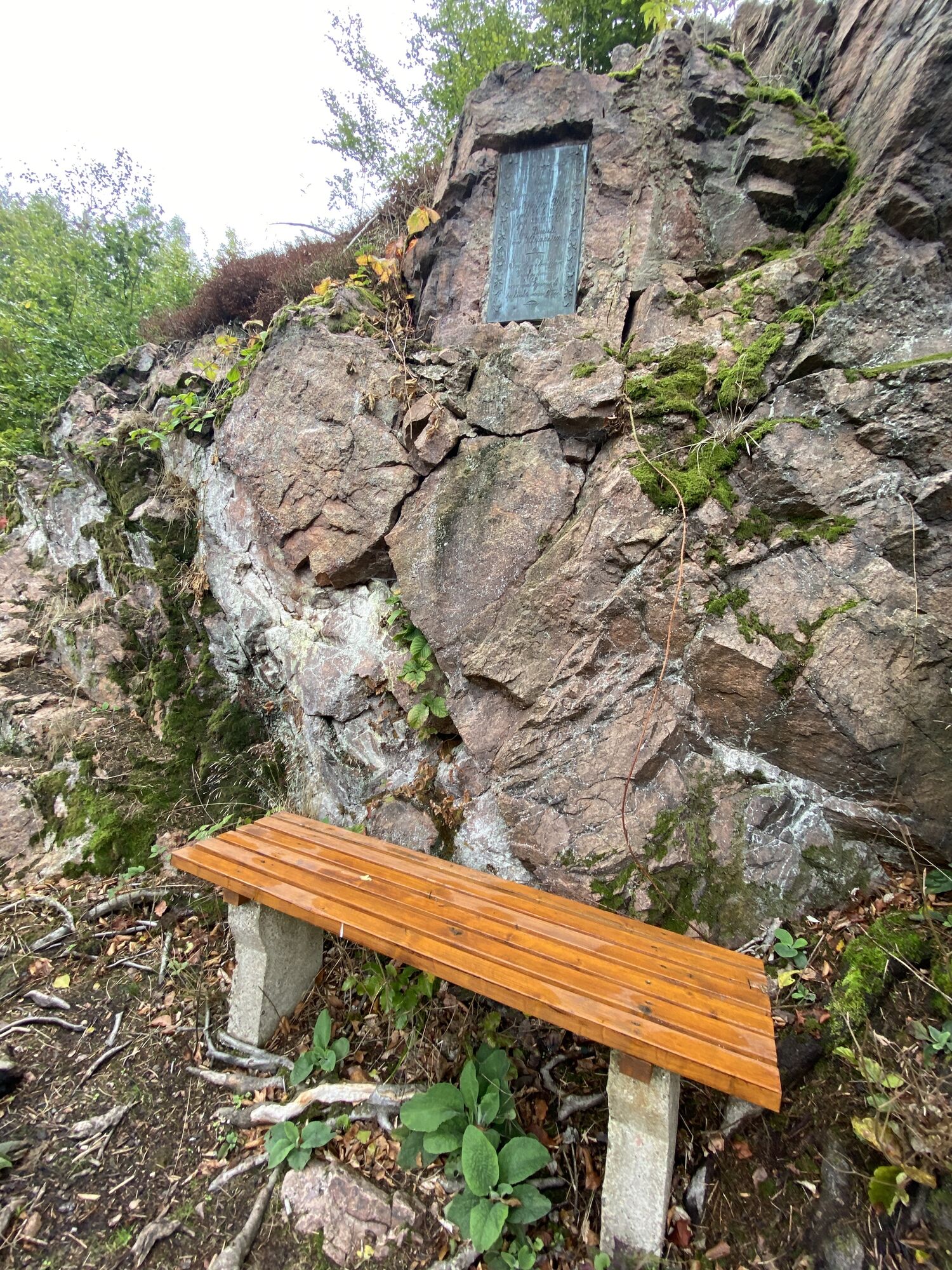
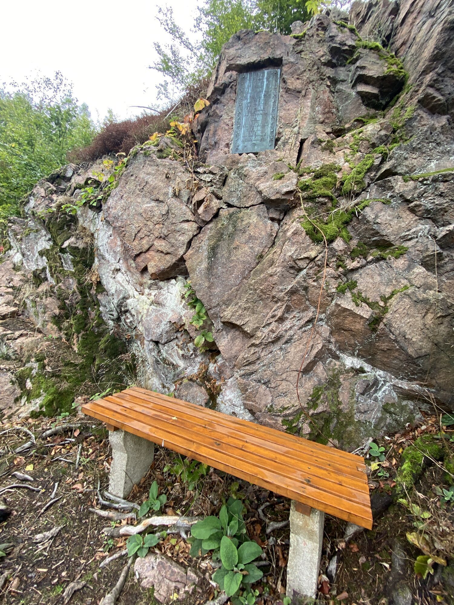
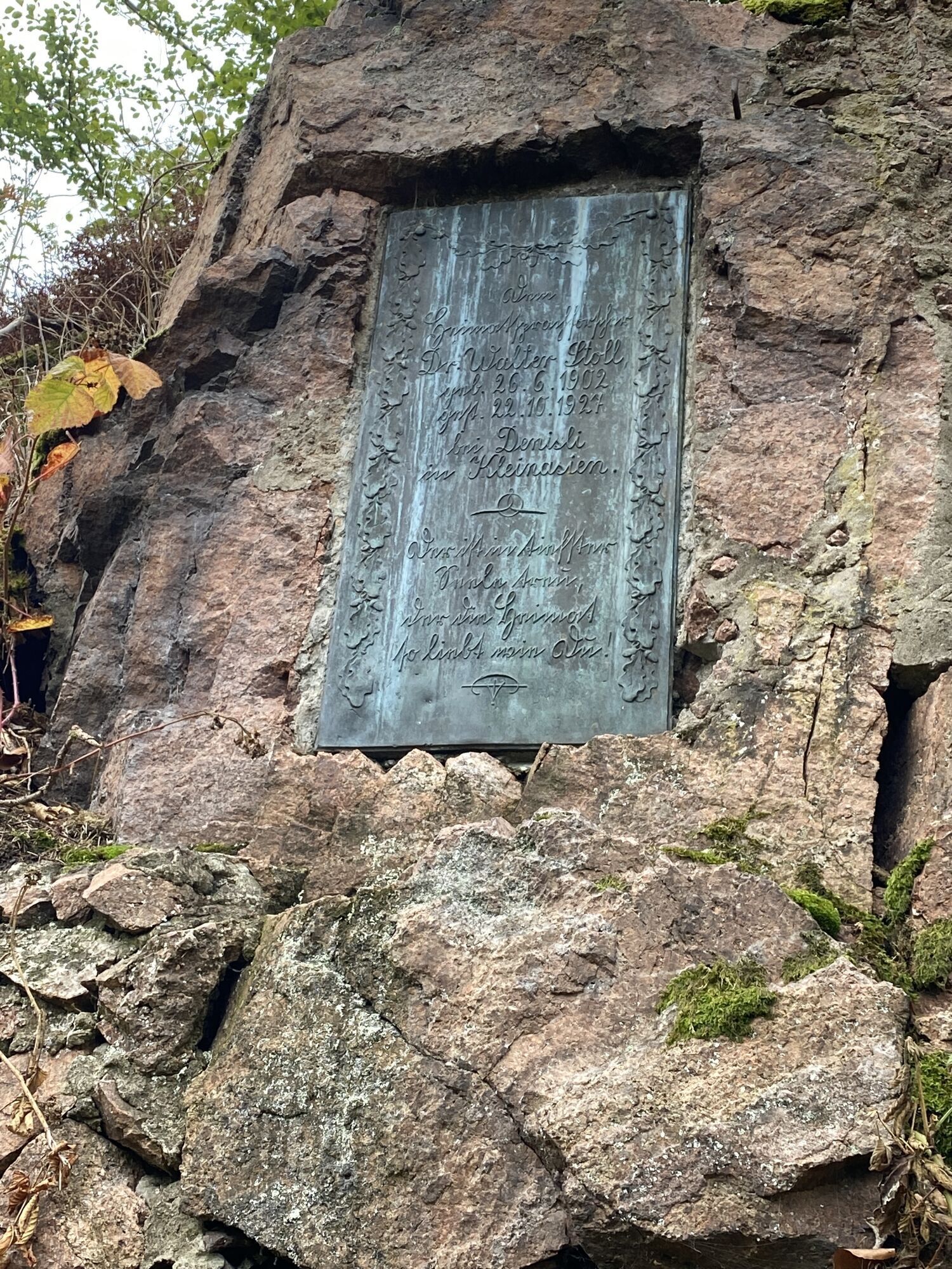
A tropical island at the Rennsteig – that last existed 257 million years ago. Today GeoRoute 9 leads through the UNESCO Global Geopark Thuringia Inselsberg - Drei Gleichen around the mining town Ruhla....
A tropical island at the Rennsteig – that last existed 257 million years ago. Today GeoRoute 9 leads through the UNESCO Global Geopark Thuringia Inselsberg - Drei Gleichen around the mining town Ruhla. The former reefs in the Zechstein Sea today form striking mountains at the northern and southern edge of the Thuringian Forest. The route connects magnificent lookout rocks with interesting geological points in one of the most beautiful parts of the Thuringian Forest. Information boards explain the geological phenomena that once shaped this landscape and the mining that resulted.
This circular hike is the northern part of GeoRoute 9 and connects the Kittelsthal dripstone cave with geological highlights around Ruhla. Expanded or as another hike, the southern loop of GeoRoute 9 around Bad Liebenstein is recommended with highlights like the Altenstein cave, Altenstein landscape park, Schleifkotengrund near Steinbach, and the Glöckner massif at the Rennsteig.
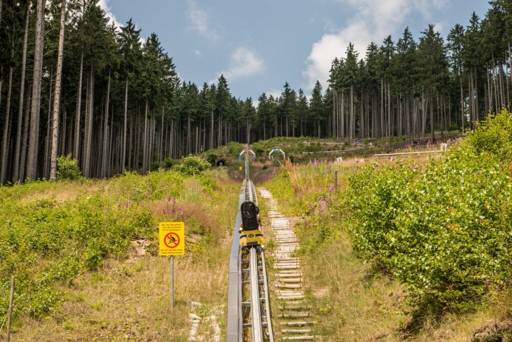
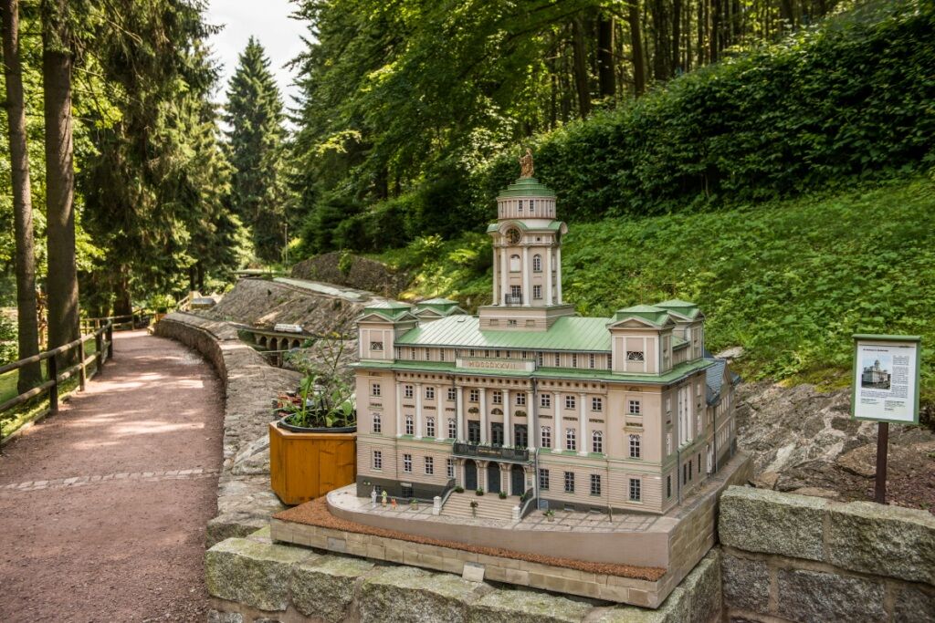
After the hike, a visit to the Rennsteig Bird of Prey Centre, Germany's steepest summer toboggan run, or the only miniature park mini-a-thür in Thuringia is worthwhile.

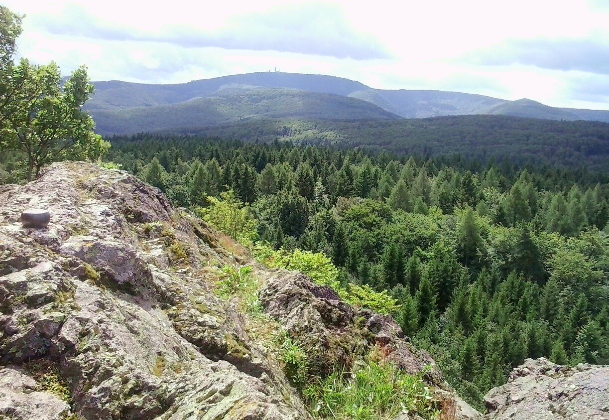
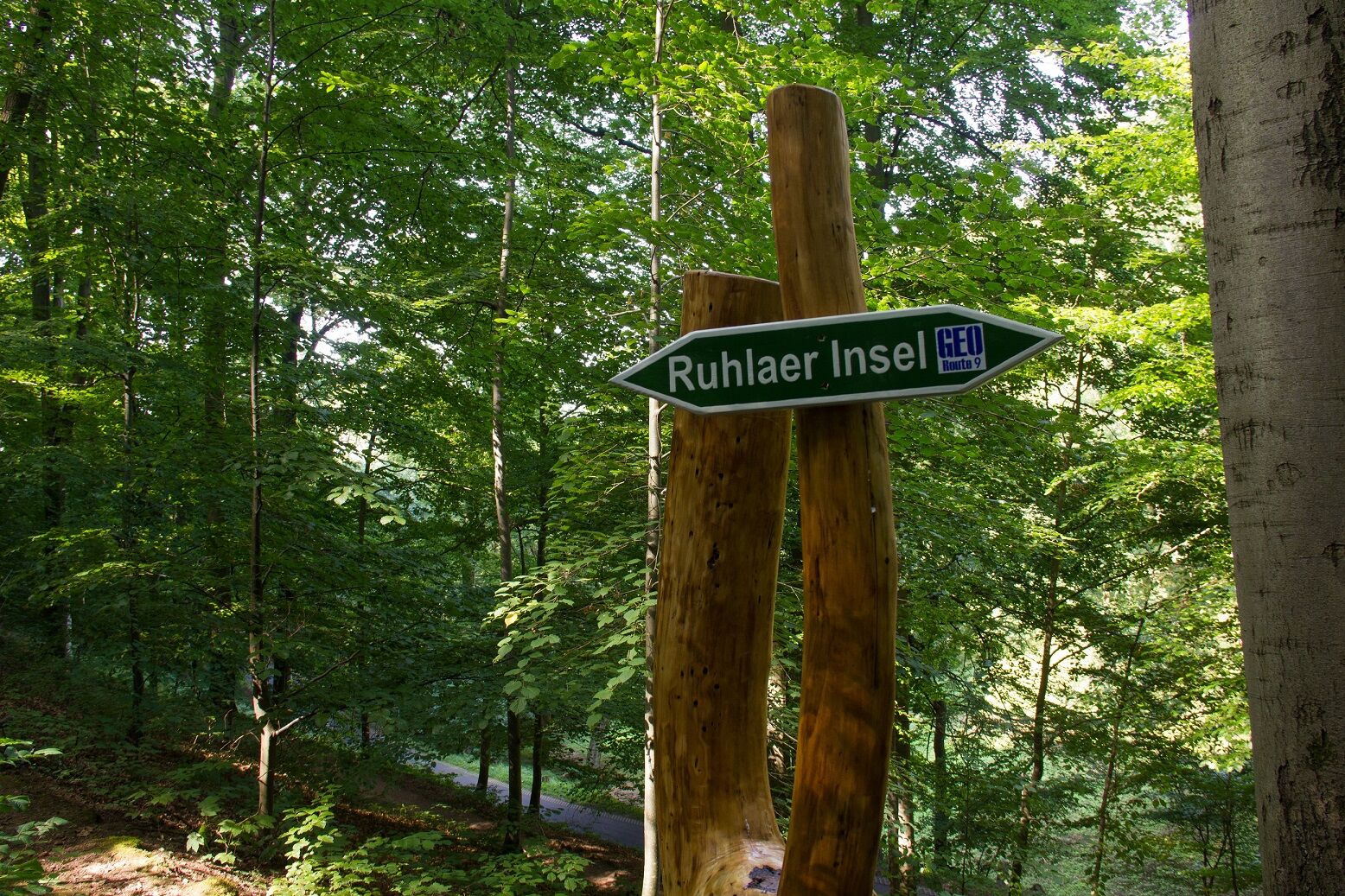
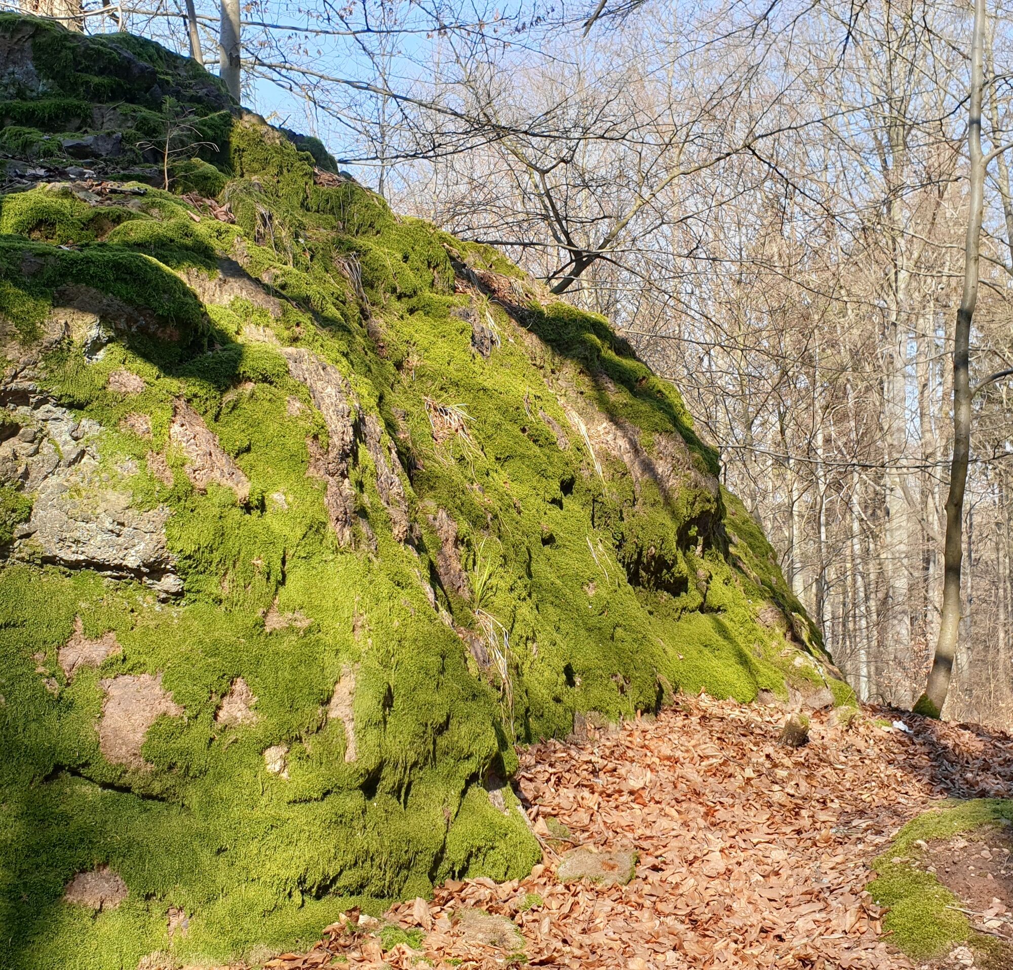
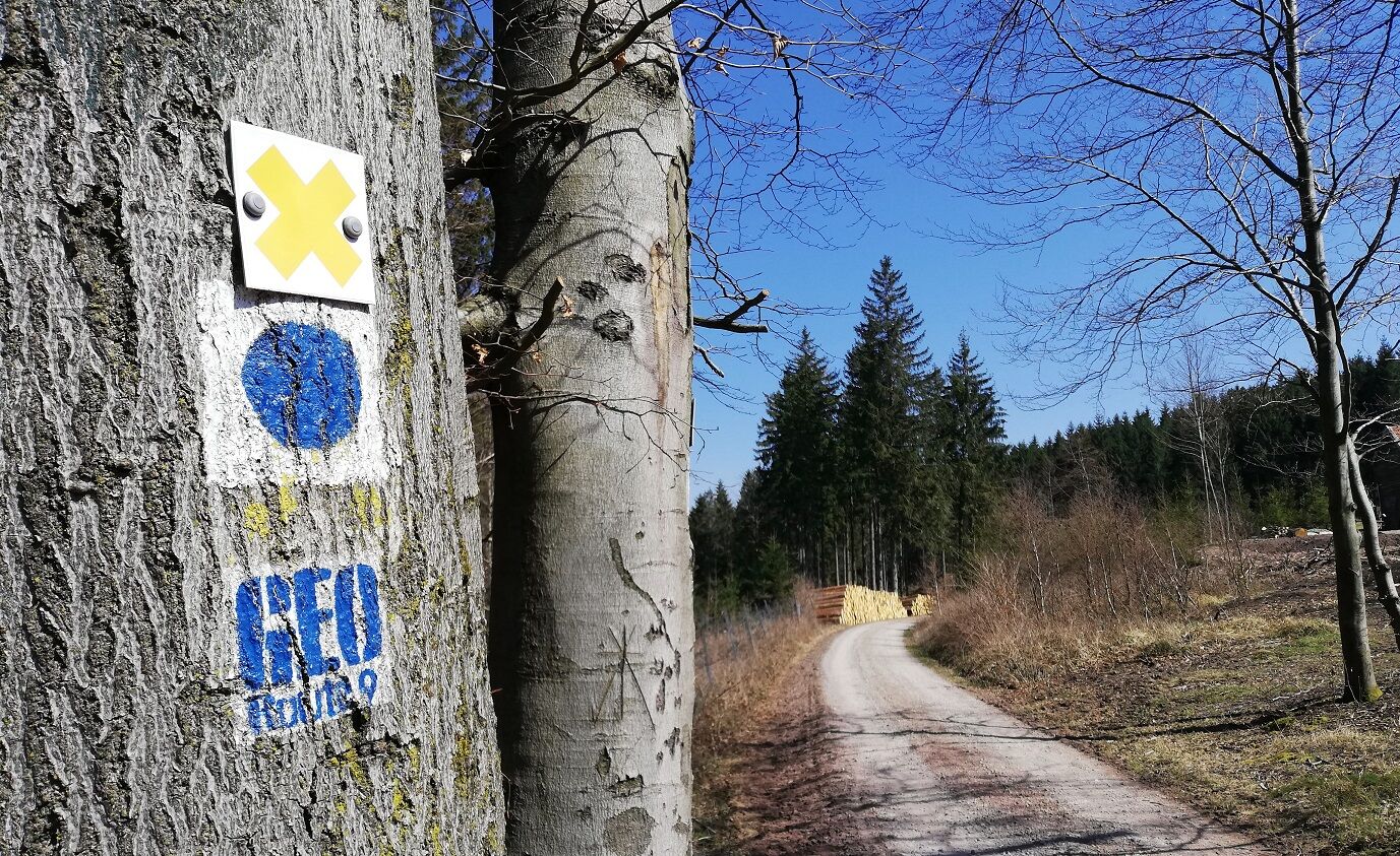
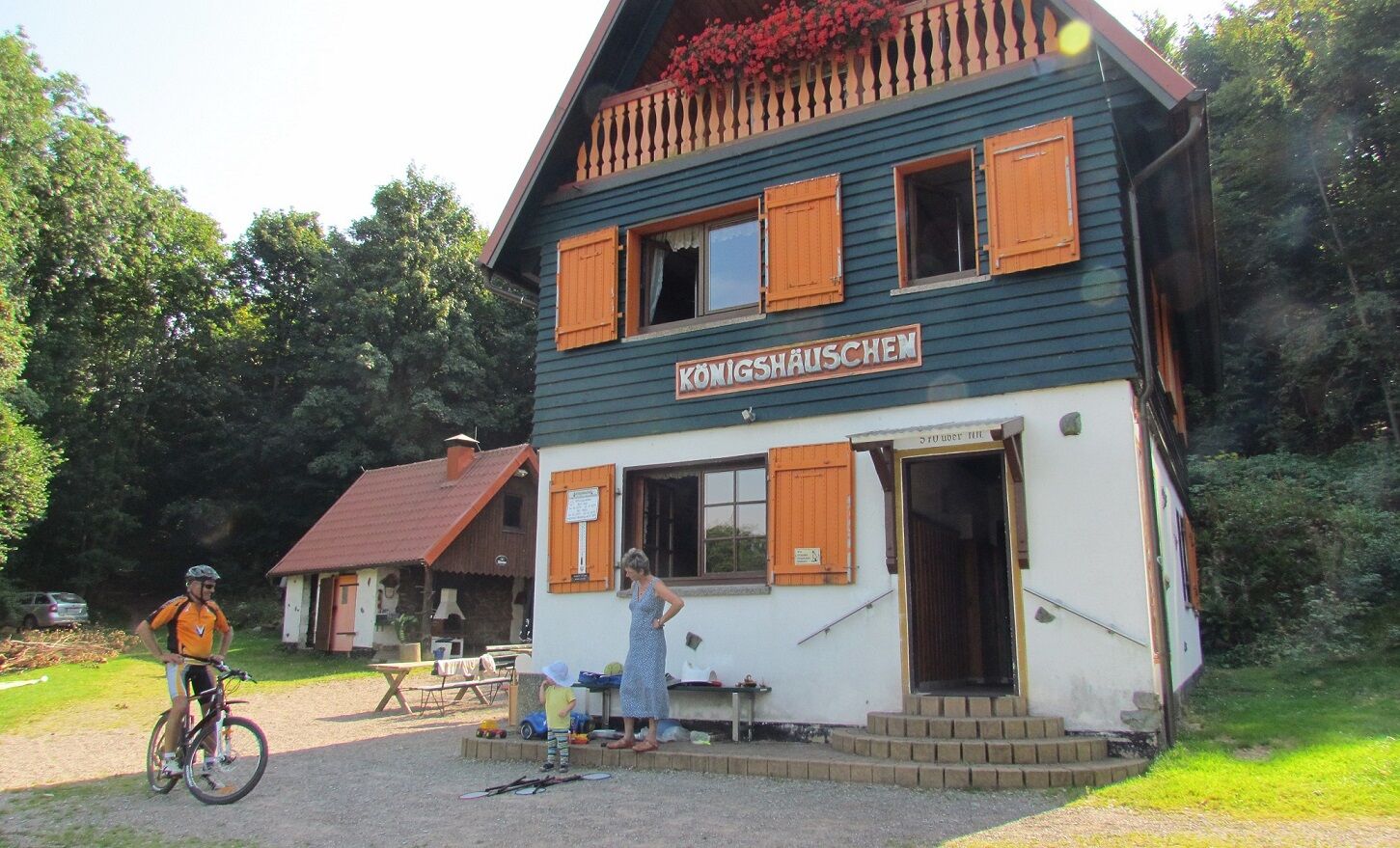
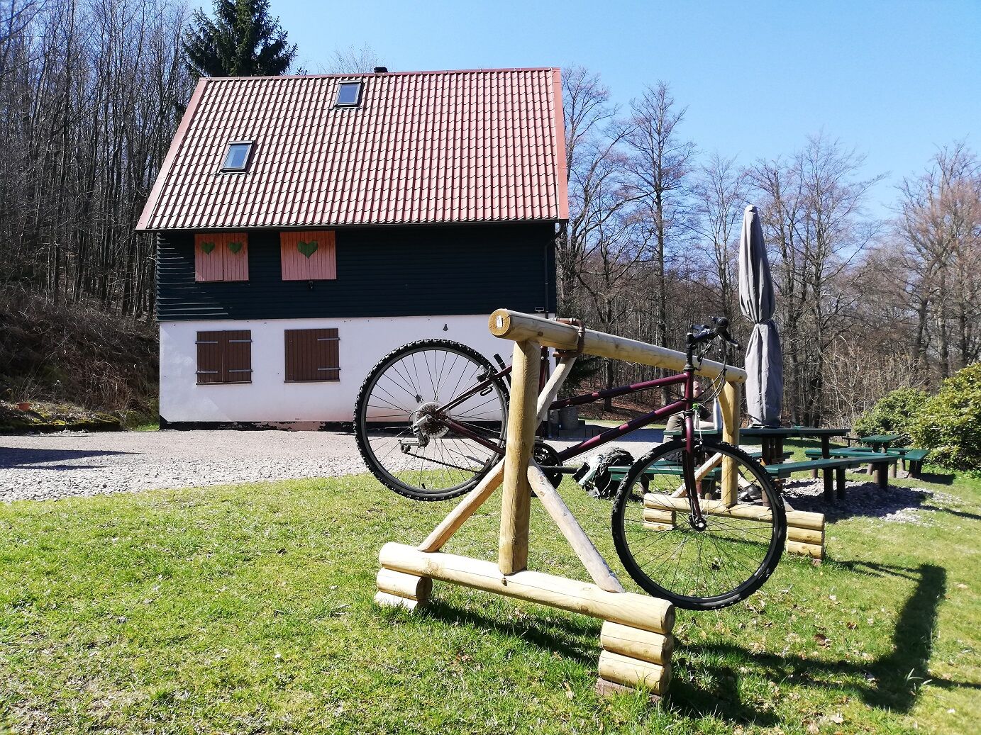
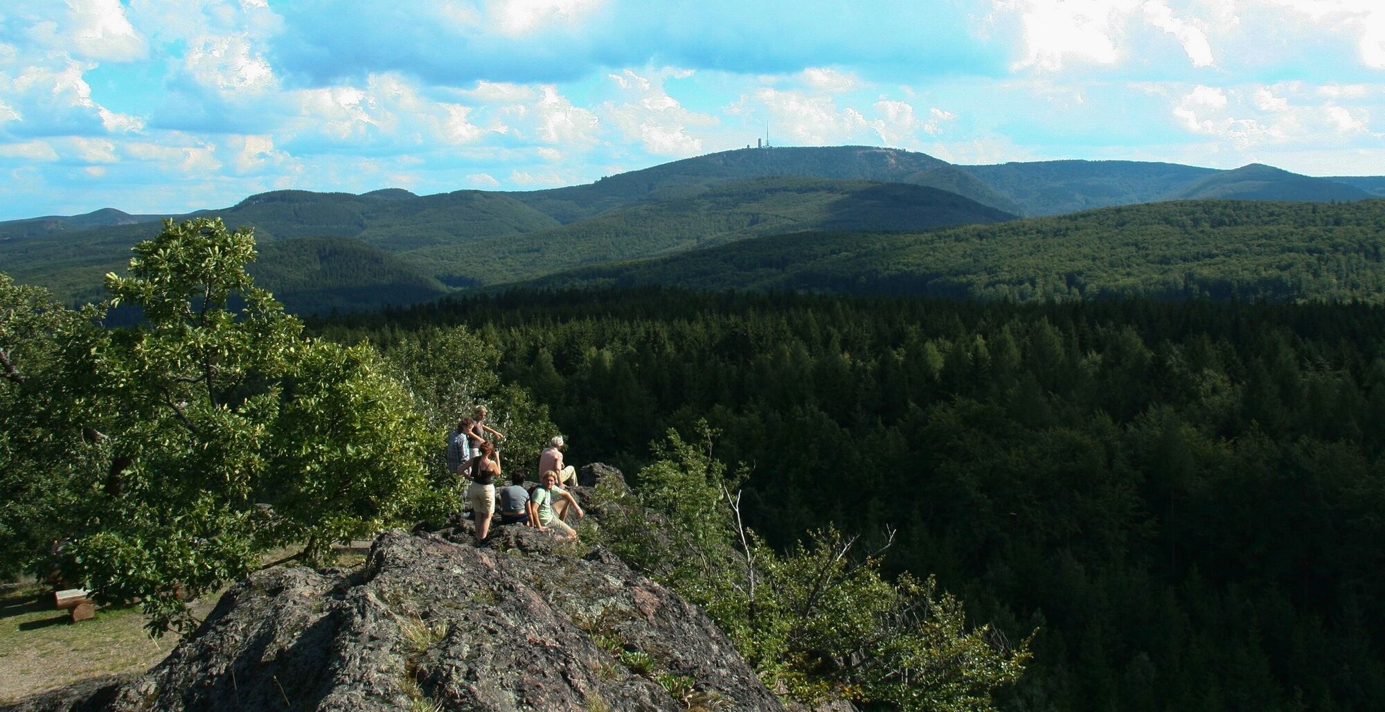
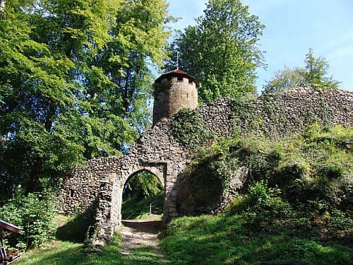
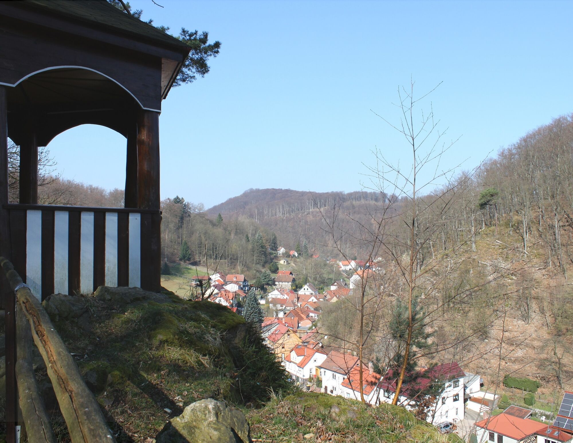
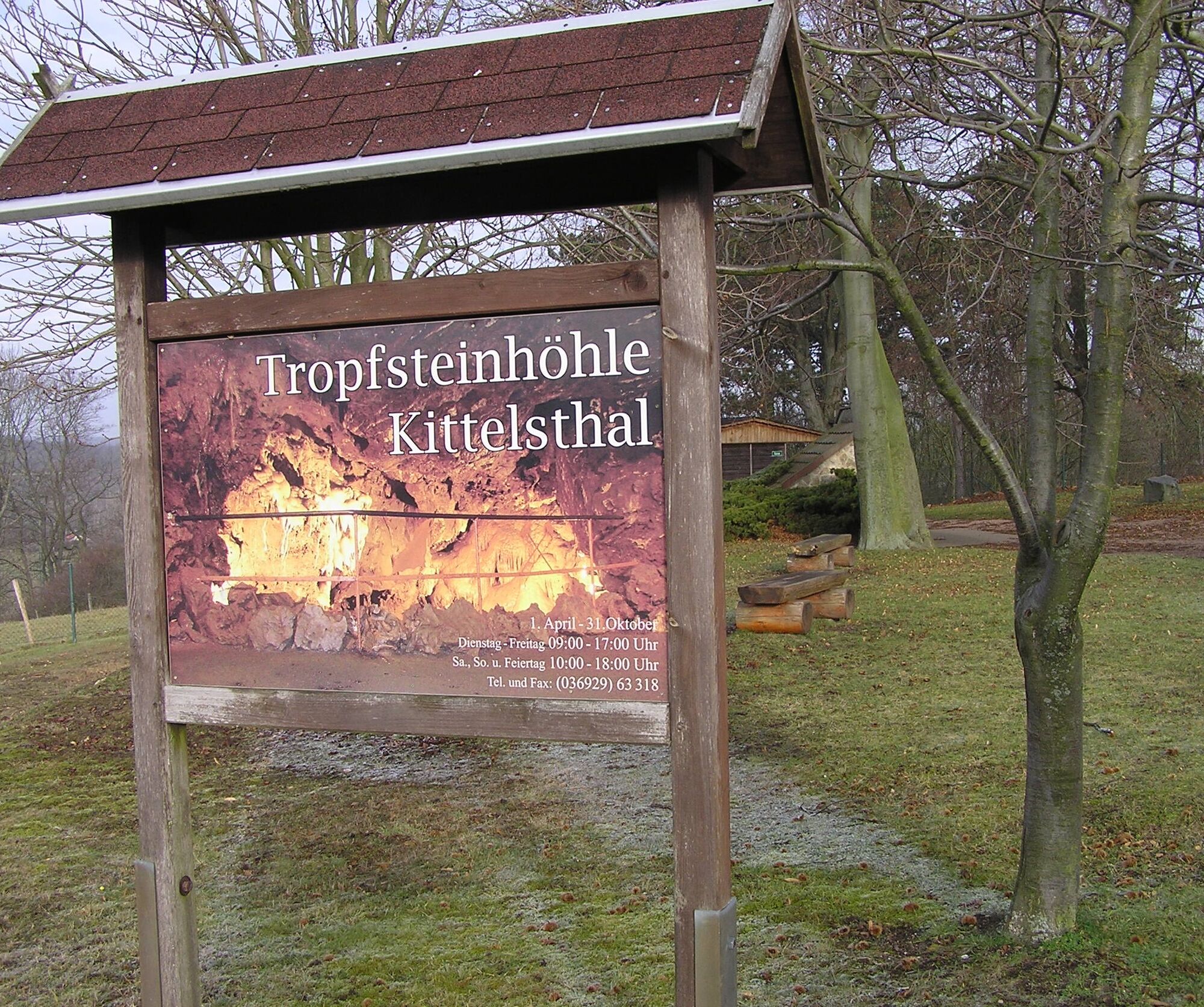
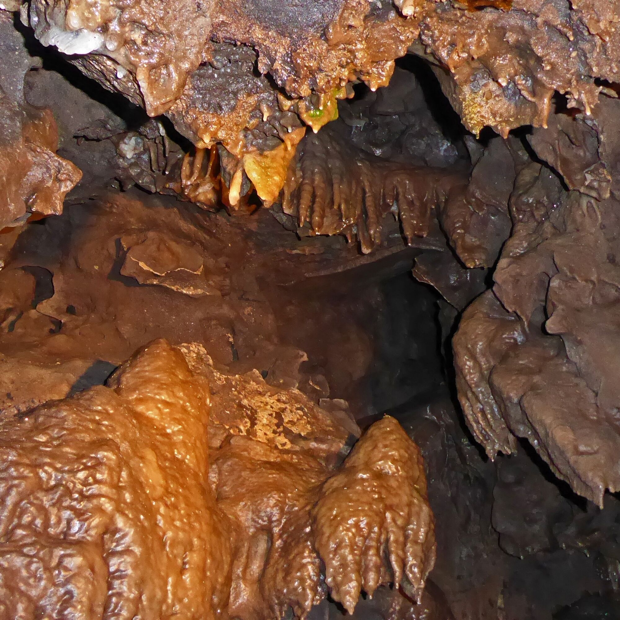
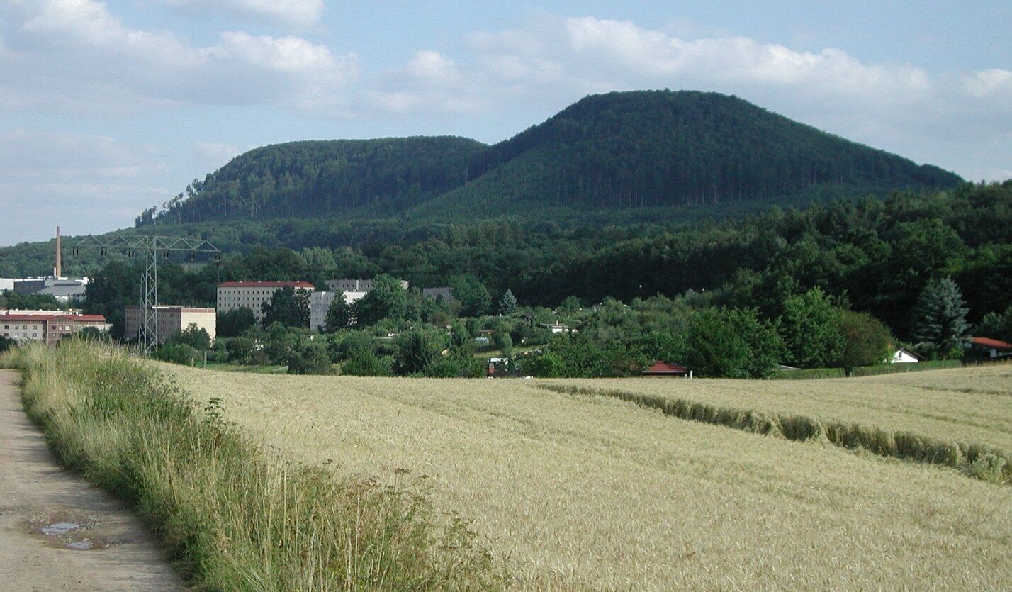
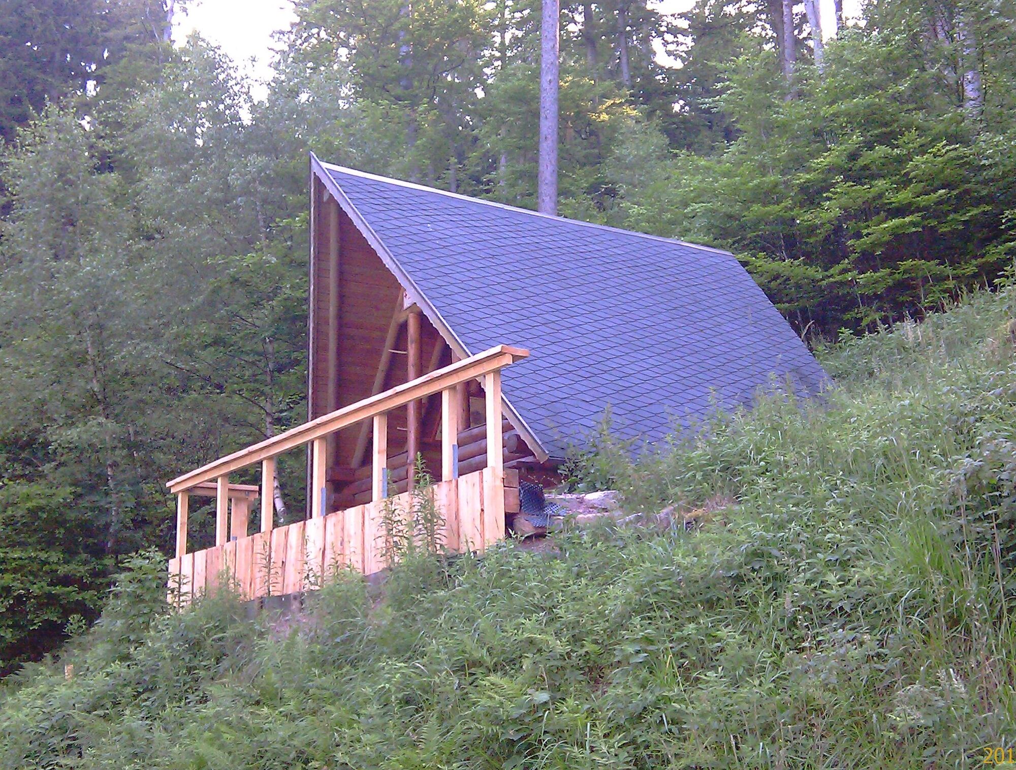
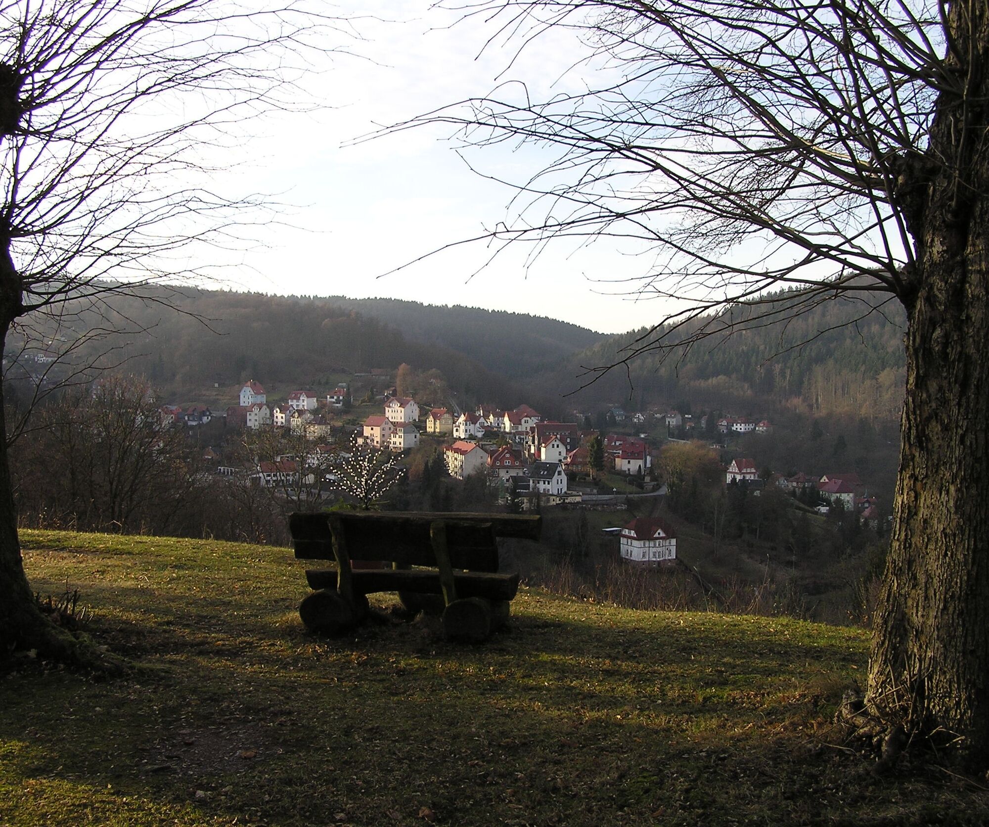




Ruhla - Beautiful View - Königshäuschen - Meisenstein - Great Wartberg - Thal with Ruin Scharfenburg - Kittelsthaler Dripstone Cave - Ruhla
Áno
Áno
Sturdy footwear
Rainwear
First-aid kit
GPS navigation device or smartphone
You can arrive in Ruhla via federal highway B 19 or B88.
Use the Deutsche Bahn travel information. This portal also lists all regional transport providers.
Travel to Ruhla with regional bus line 140 towards Bad Liebenstein (stop Thal, Eiche). Current timetable here.
Parking lot at Kittelsthaler Dripstone Cave
Parking lot at the sports and leisure center in OT Thal
Parking lot center Ruhla at Rewe market
Parking lot at the inn "Zur schönen Aussicht"
Parking lot "Krümmespatzen"
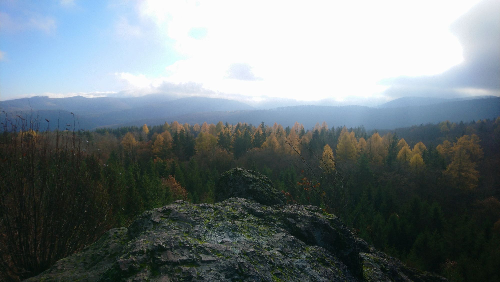
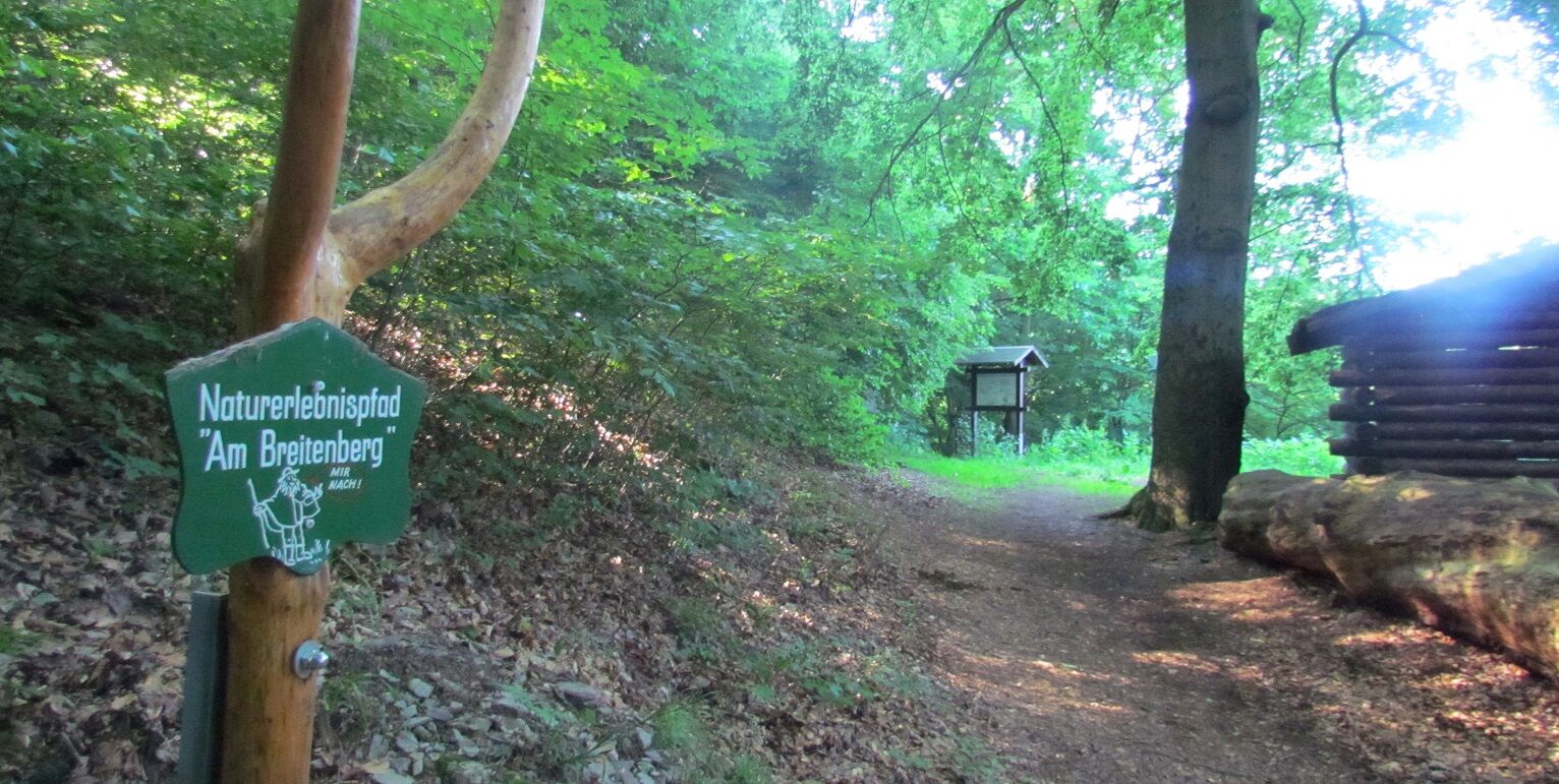
No one should miss the magnificent view at Meisenstein on this route. The dripstone cave in Kittelstal is recommended for geologists, and wild garlic fans can collect plenty of it in spring at Wartberg. Above Ruhla, a detour to the "Nature Trail "Am Breitenberg" (GeoRoute 10)" is recommended.

Obľúbené výlety v okolí
-
5,0
EA1 - Circular route - Gorge tour near Eisenach - Thuringian Forest
strednáTuristika 9,68 km -
4,6
Summit and panoramic route - Route 1 - Bad Tabarz
strednáTuristika 10,9 km -
3,9
EA2 - circular hiking route - "The Beauties of Eisenach" - Thuringian Forest
strednáTuristika 9,96 km -
5,0
Wartburg und Drachenschlucht
strednáTuristika 15,1 km -
4,7
IVV PW + GTW "In Luther's footsteps - Luther, dragons, landgraves, rose miracle..."
strednáTuristika 15,8 km -
5,0
Circular route 3 - Mariental/Drachenschlucht/Elfengrotte
strednáTuristika 3,54 km -
4,8
Hike - "Rennsteig-Leiter Eisenach" Thuringian Forest
strednáTuristika 3,58 km -
Tabarzer Vulkansteig
strednáTuristika 9,91 km -
4,5
Circular hike - Legendary Hörselberge - Great Hörselberg near Eisenach - Thuringian Forest
strednáTuristika 10,6 km -
4,4
Circular hiking trail - "Trusetal Landmark Route" - Thuringian Forest
svetloTuristika 4,02 km
Turistika a stopovanie


Nenechajte si ujsť ponuky a inšpiráciu na ďalšiu dovolenku
Vaša e-mailová adresa bol pridaný do poštového zoznamu.





