


GeoTrail - Coal - Neuhaus Schierschnitz
Úroveň náročnosti: T1
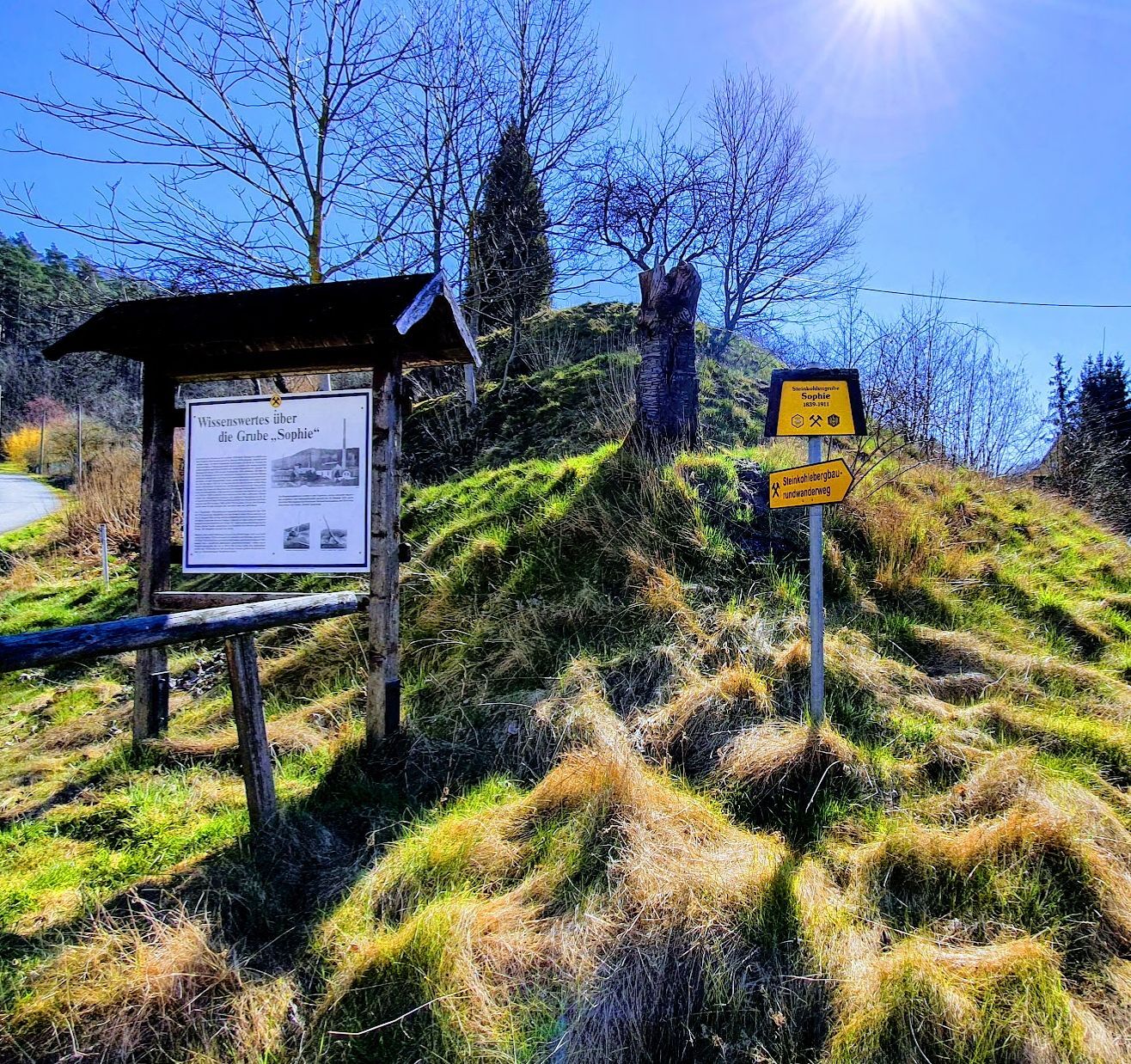
The Coal GeoTrail covers just over 5 km through the former coal mining area around Neuhaus-Schierschnitz in Thuringia and explores the Thuringian section of the abandoned mining area on a circular route....
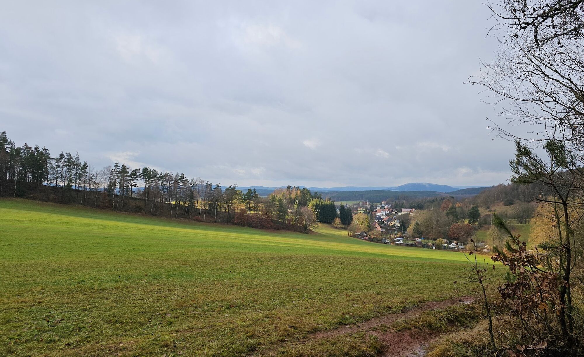
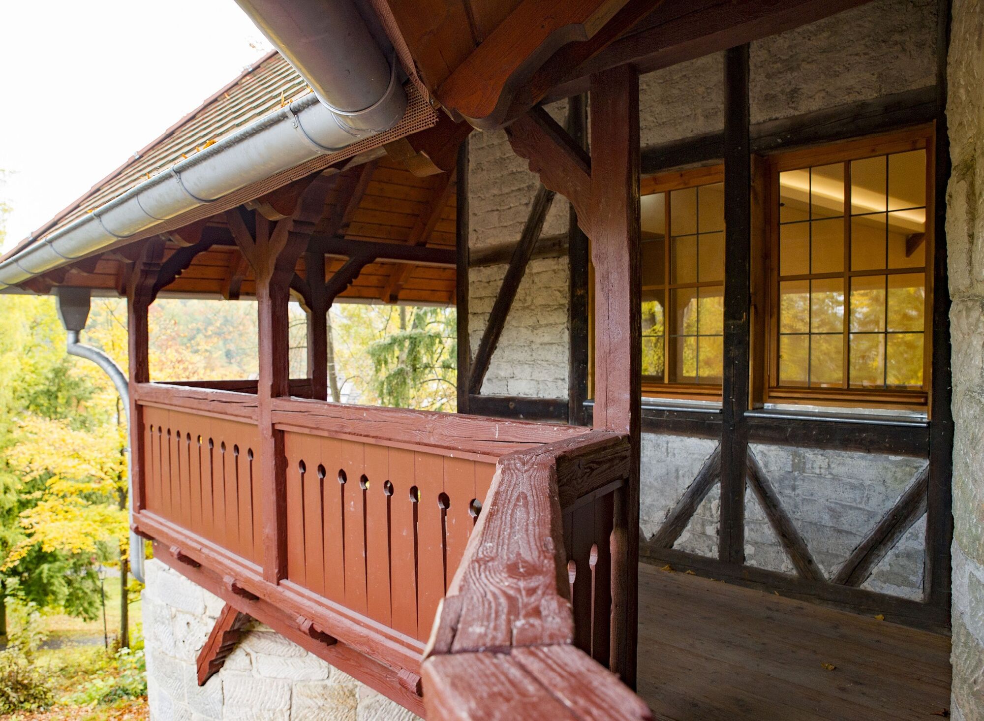
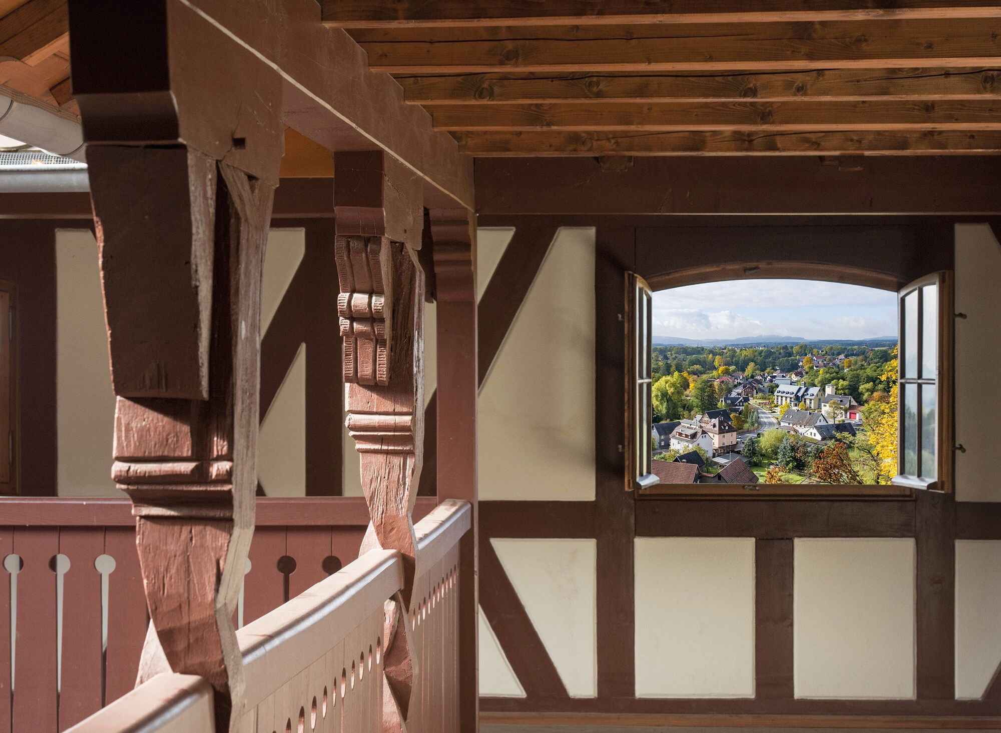
The Coal GeoTrail covers just over 5 km through the former coal mining area around Neuhaus-Schierschnitz in Thuringia and explores the Thuringian section of the abandoned mining area on a circular route. The route leads over the remarkable ensemble of church, castle, and palace into the Green Belt to the evidence of the German division and the relics of coal mining. The hiker learns remarkable facts about the extraction and processing of coal as well as the economic importance of electrical porcelain for the Neuhaus-Schierschnitz location. In the secluded forests of the Green Belt, natural paths combine pure enjoyment of nature with exciting knowledge transfer. Views and impressive border stones line the path. If you turn southeast after a detour to the abandoned Minna coal mine, you reach the romantic district of Buch and complete the small round of the Coal GeoTrail. The Coal GeoTrail is suitable for cyclists.
If you follow the signage of the GeoTrail towards Stockheim and cross the former patrol path after a short ascent, you reach Bavaria through the Green Belt. On the Bavarian side, in the Frankenwald Nature Park, hikers can explore the entire mining area on the FrankenwaldSteigla "In the Coal Forest." This thematic circular route is 6.8 km long and can be started from the state border.
Further information about the Coal GeoTrail can be found on a website of the municipality of Föritztal: https://geopfad-steinkohle.foeritztal.de/

The thematic circular hiking route starts at the visitor parking lot directly at the town hall of the municipality of Föritztal and leads to both sights and architectural monuments as well as to relics of coal mining and the evidence of the German division along the Green Belt.
The route offers hikers pure enjoyment of nature in the secluded forests of the Green Belt, the former border strip, combined with exciting knowledge transfer and local history topics.
Along the way, hikers learn remarkable facts about the processing of coal and the economic significance of electrical porcelain for the Neuhaus-Schierschnitz location.
For a rest and refreshments, the inns and shops of the village are recommended.
Áno
Áno
Áno
Hiking boots and light trekking equipment are sufficient for exploring the mining area, as the paths are only partly unpaved.
In a mining area, caution is always advised. Please stay on the designated paths for your own safety. This is also recommended for the former border area.
The starting point of the route is located directly on federal highway 89 between Kronach and Sonneberg. It is best to use the Neustadt bei Coburg exit from the A73 and drive directly via the B4n and B89.
Train stations are located in the immediate vicinity in the towns of Stockheim (Bavaria) and Sonneberg (Thuringia). From Sonneberg, a bus line regularly runs to the starting point of the route in Neuhaus-Schierschnitz.
Free parking spaces are sufficiently available at the start of the hike.
T1
FrankenwaldSteigla Im Kohlenwald (Link-outdooractive)
If you turn northwest at the Minna mine, you reach a resting place at the babbling Gessendorf spring via a connecting path.
Obľúbené výlety v okolí
-
Teufelskanzel-Saulochklamm-Einberg
strednáTuristika 7,73 km -
Rundweg Muppberg Ne2
strednáTuristika 3,46 km -
GeoTrail - SlateKINGDOM - Sonneberg district
strednáTematická trasa 22,7 km -
Prinzregentenweg
strednáTuristika 4,19 km -
NE1 Auf dem breiten Weg
strednáTuristika 4,77 km -
Circular hiking route - No. 2 around Steinach - Thuringian Forest
strednáTuristika 11,8 km -
Circular Hiking Trail Sonneberg
ťažkéTuristika 15,2 km -
Border Hiking Trail Sonneberg District
ťažkédiaľková pešia trasa 86,2 km -
Elfi's Fountain Journey
svetloTuristika 3,96 km -
Hike - Steinach Church path - Thuringian Forest
ťažkéTuristika 12,4 km
Turistika a stopovanie


Nenechajte si ujsť ponuky a inšpiráciu na ďalšiu dovolenku
Vaša e-mailová adresa bol pridaný do poštového zoznamu.