



Over the Oberer Eckweg to the Green Band - RWW 1

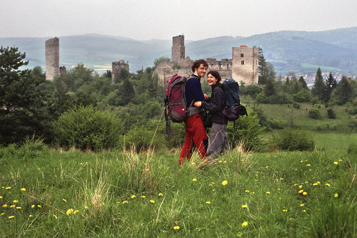
The route can be combined with a visit to the Martinskirche in Lauchröden. It offers a wonderful view of the Werra valley with the Brandenburg ruin on the way to the Böller. The Sallmannshäuser Rennsteig in...
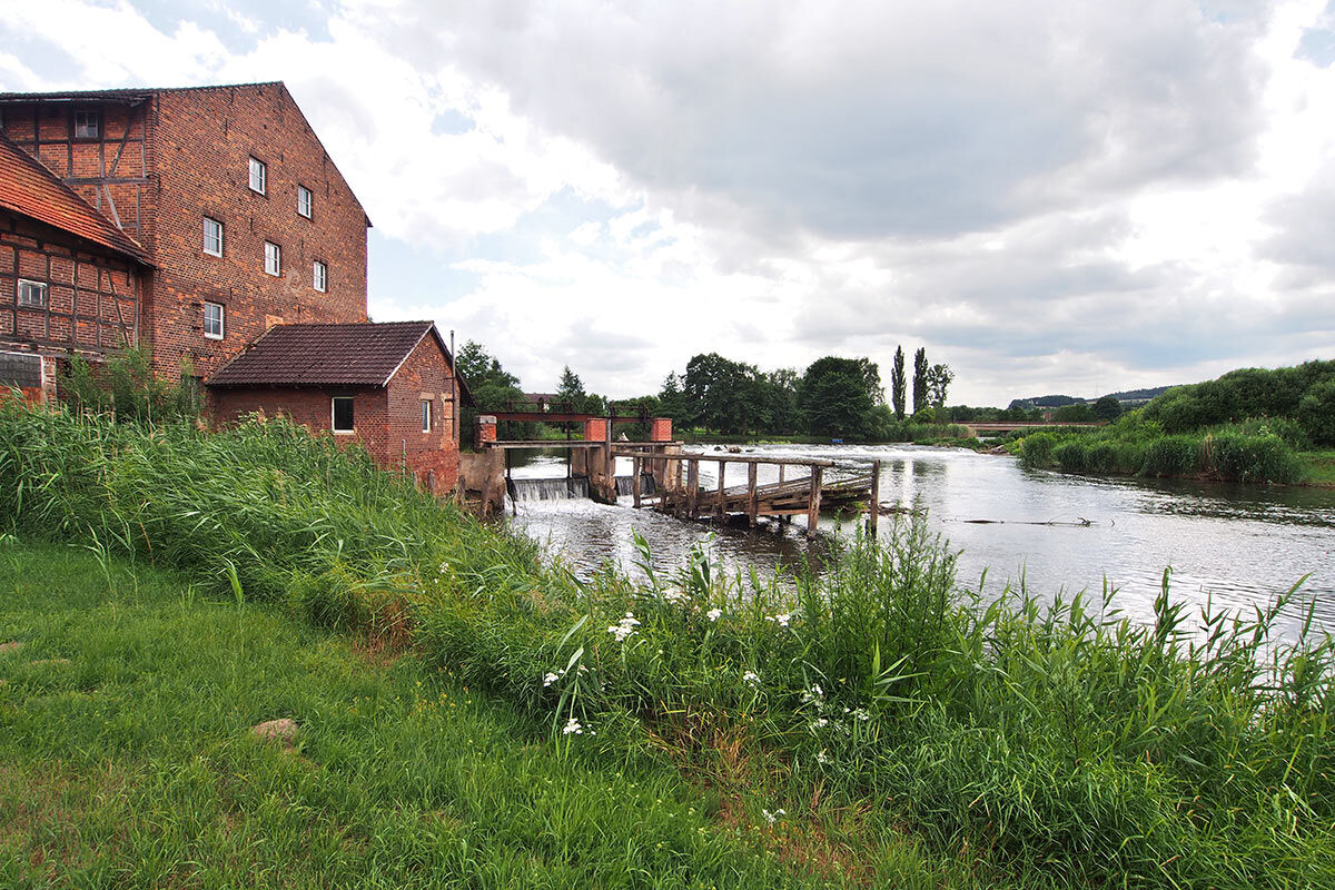
The route can be combined with a visit to the Martinskirche in Lauchröden. It offers a wonderful view of the Werra valley with the Brandenburg ruin on the way to the Böller. The Sallmannshäuser Rennsteig in the forest is pleasant to walk. A special experience is walking directly on the Werra bank, on the Green Band. In the middle of the Werra was the border between two world systems. The border installations cut through the landscape and separated people and places. Nature has reclaimed the "10-meter strip": today the path along the Werra is a romantic section of the hike. The "Bridge of Unity" was blown up by the US Army in 1945. In 1989, the year of change, it was initially rebuilt as a pedestrian bridge and inaugurated on December 23, 1989. Since then, people from Lauchröden, Herleshausen, and many visitors annually celebrate the "Bridge Festival" on December 23 and remember the exciting days of the time of change with gratitude.
Refreshment opportunities are available in Lauchröden.

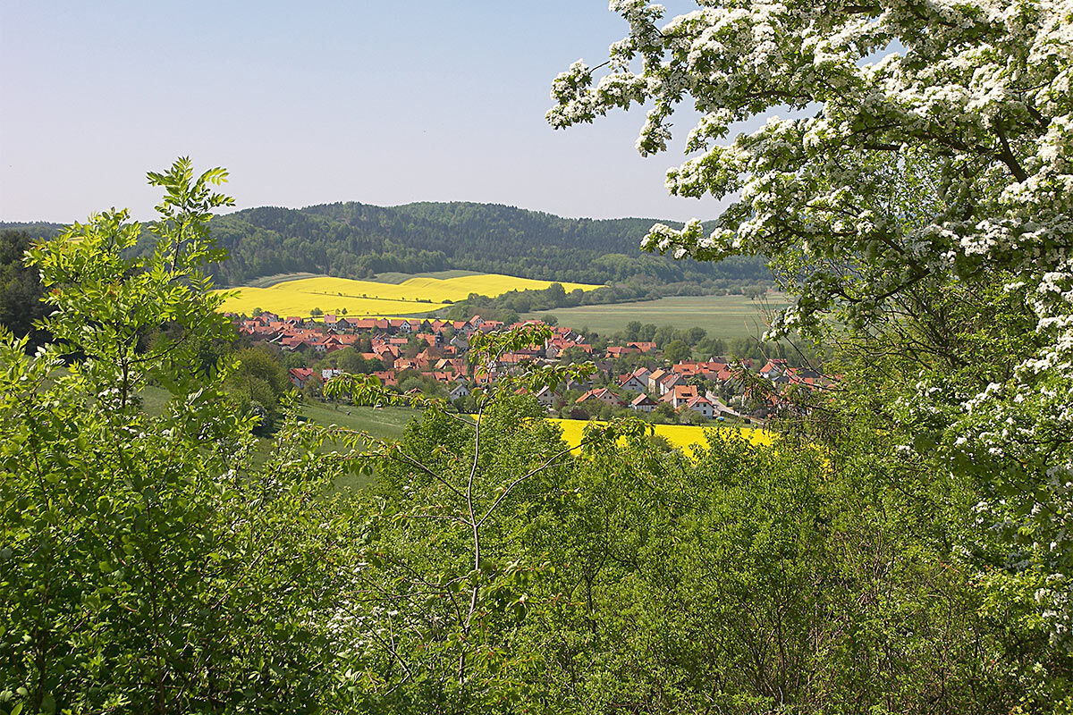

The route leads from the car park at the Brandenburg ruin along the road towards Lauchröden. Take the first street to the left ("Am Stechberg") and follow it to the end, then turn right, the next one for about 50 m to the left ("Ernst-Thälmann-Straße") and continue downhill to the right. Cross Untereller Straße and turn left towards the sports field. You walk along the outlines of the sports field to the street "An den Gärten" and then immediately take the next path to the left onto the "Herdaer Weg". Behind the last garden fence, turn right towards the "Angelteiche". Just before the Angelteiche, the Mittlere Eckweg goes uphill to the right. You walk between fields and meadows. A rest hut on the right offers a chance for a first break and a fantastic view into the Werra valley, of Lauchröden and Herleshausen, as well as the large motorway bridge at Hörschel. Further on, slightly uphill, the forest begins. The path meets the Sallmannshäuser Rennsteig (SR) and you turn right. After about 200 m, keep right at a shelter hut and leave the SR. About 600 m further, at a crossroads, keep middle-right, so do not take the far right path but the one left of it, which goes slightly downhill. You have bypassed the Hardt at 345 m altitude. The route continues over the Grindkopf to the edge of the forest (barrier). You walk uphill on the road, at the top keep right and find a path into the greenery above the Werra. At a staircase, you continue down to the river: the "Green Band" is especially romantic here! A break on a bench with a view of the former border river is meditation! Between Lauchröden and the Werra, you soon reach the "Bridge of Unity". Here you turn right to "Eisenacher Straße", then left and back to the car park at the Brandenburg ruin.
Highlights of this hike full of points of interest:
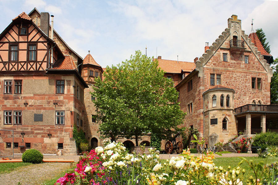
The Brandenburg ruin with castle museum in the Kemenate The village of Lauchröden with the Martinskirche: a place in the GDR restricted area The Werra valley with the Werra as a former border river between East and West The Werra as a waterway - the Werra valley cycle path - the Green Band The "Böller" as the former shooting range of the NVA The Bridge of Unity formerly connected what was divided. It was inaugurated with an emotional celebration on 23.12.1989 during the period of change, directly on the foundations of the predecessor structure that was blown up in 1945. The bridge thus connected two world systems and shortly thereafter two federal states in unified Germany.Áno
Sturdy footwear
Rainwear
First aid kit
GPS navigation device or smartphone or maps
The hiking trail requires sturdy footwear. You partly walk on narrow paths. Avoid stepping on moss-covered stones and rocks due to the risk of slipping and watch out for deadwood, branches, and fallen trees. Awareness is the best safety equipment.
Coming from BAB 4 exit 38 Herleshausen on L3251, right onto K17 under the railway line continuing on Herleshäuser Straße. Follow signs "Burgruine Brandenburg". In Wartha turn right onto K505 via Göringen further to Lauchröden. The car park is shortly before Lauchröden on the left side.
Lauchröden and Herleshausen lie on the Werra valley cycle path.
The nearest ICE train station is in Eisenach. From here, bus lines 181 and 183 run directly to Lauchröden.
On weekdays, city bus line 2 runs hourly from Eisenach to Lauchröden and back.
Use the Deutsche Bahn journey planner for your travel planning at the following link:
→ Travel to Lauchröden (direct)
The car park is located on district road 505 coming from Eisenach shortly before Lauchröden after the turn-off to Brandenburg.
Brandenburg Ruin - Werra Valley Association ZV Brandenburg e.V.
Werra Valley Association ZV Südringgau e.V.
Augustenau Castle in Herleshausen
The route is located in the following protected areas:
Thuringian Forest Nature Park
Obľúbené výlety v okolí
-
3,9
EA2 - circular hiking route - "The Beauties of Eisenach" - Thuringian Forest
strednáTuristika 9,96 km -
5,0
Wartburg und Drachenschlucht
strednáTuristika 15,1 km -
4,8
Hike - "Rennsteig-Leiter Eisenach" Thuringian Forest
strednáTuristika 3,58 km -
5,0
Circular route 3 - Mariental/Drachenschlucht/Elfengrotte
strednáTuristika 3,54 km -
4,7
Hike - Rennsteig - Stage 1 - From Hörschel to Ascherbrück / Ruhla
ťažkéTuristika 19,1 km -
5,0
EA3 - Circular hiking trail - "Wartburg Experience Route" - Thuringian Forest
strednáTuristika 6,14 km -
Circular hike - From the Rennsteig start via the "Stedtfeld Mining Educational Trail" near Eisenach - Thuringian Forest
strednáTuristika 11,0 km -
5,0
Premium route P21 Point India - Walkable Green Belt
strednáTuristika 14,9 km -
5,0
Drachenschlucht, Elfenhöhle
svetloTuristika 11 km -
Premium trail P6 Heldrastein - Walkable Green Belt
strednáTuristika 12,8 km
Turistika a stopovanie


Nenechajte si ujsť ponuky a inšpiráciu na ďalšiu dovolenku
Vaša e-mailová adresa bol pridaný do poštového zoznamu.


