



From Neuenhof to Brandenburg Ruin - SWW 9

You can reach Neuenhof by bus. The route touches on mining history and the old charcoal burner craft. A fantastic panoramic view is available from the "Tea House." The Red Army already appreciated this...
You can reach Neuenhof by bus. The route touches on mining history and the old charcoal burner craft. A fantastic panoramic view is available from the "Tea House." The Red Army already appreciated this spot: the border region was monitored and eavesdropped from here. Partly, you walk on long-distance hiking trails, the X9=Wartburg Path and the X5=Werra Castle Trail.
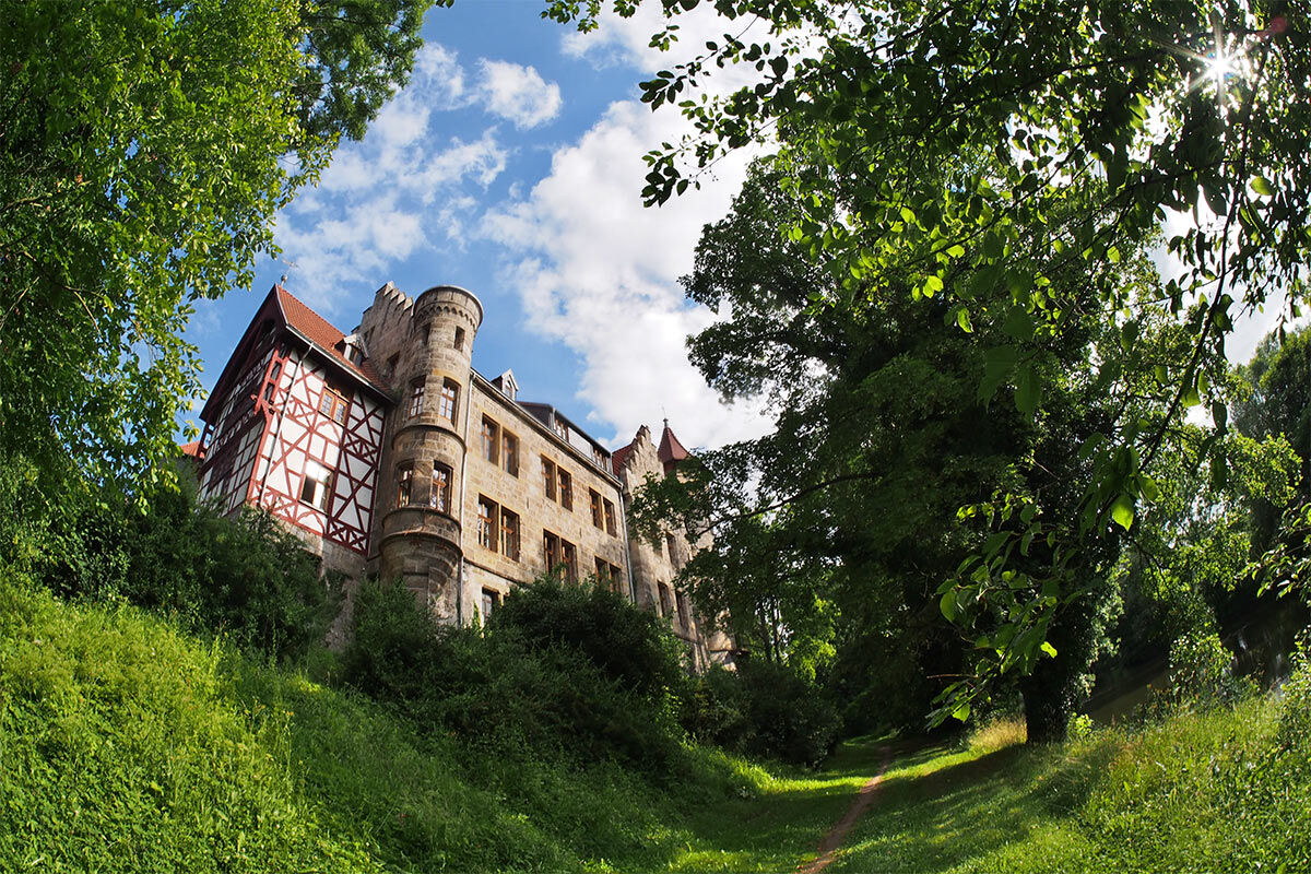
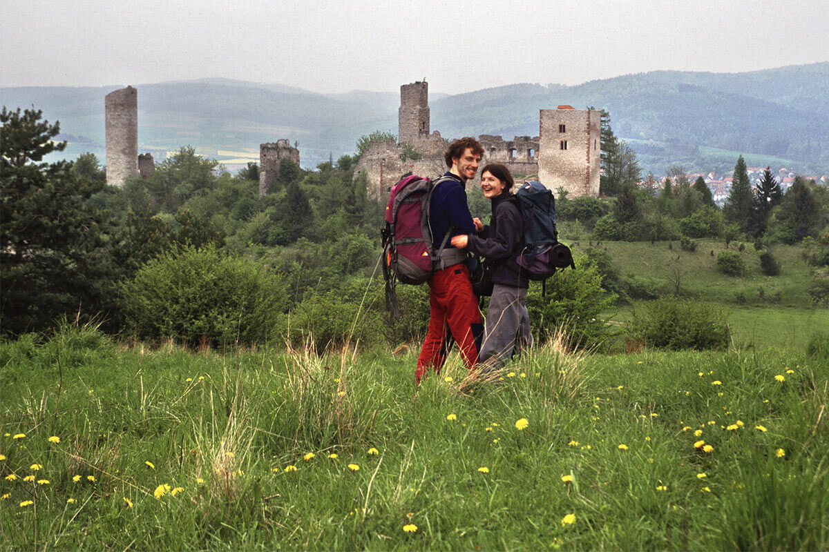
Round off the day with a visit to the museum in the Kemnate of the Brandenburg Ruin! You will meet "Georg von Reckrodt," a brave knight who was important in the Reformation movement during Martin Luther's times. He was born in the West Castle of Brandenburg. From the lookout tower and the castle grounds, you can learn about the "cake pusher," "boot," and the "bell." What that is about? Find out!
From the castle, you can walk to the bus stop in Lauchröden or the train halt in Herleshausen.
There are dining options in Neuenhof, Lauchröden, and Herleshausen.

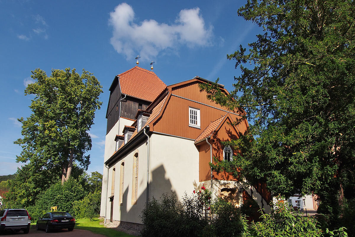
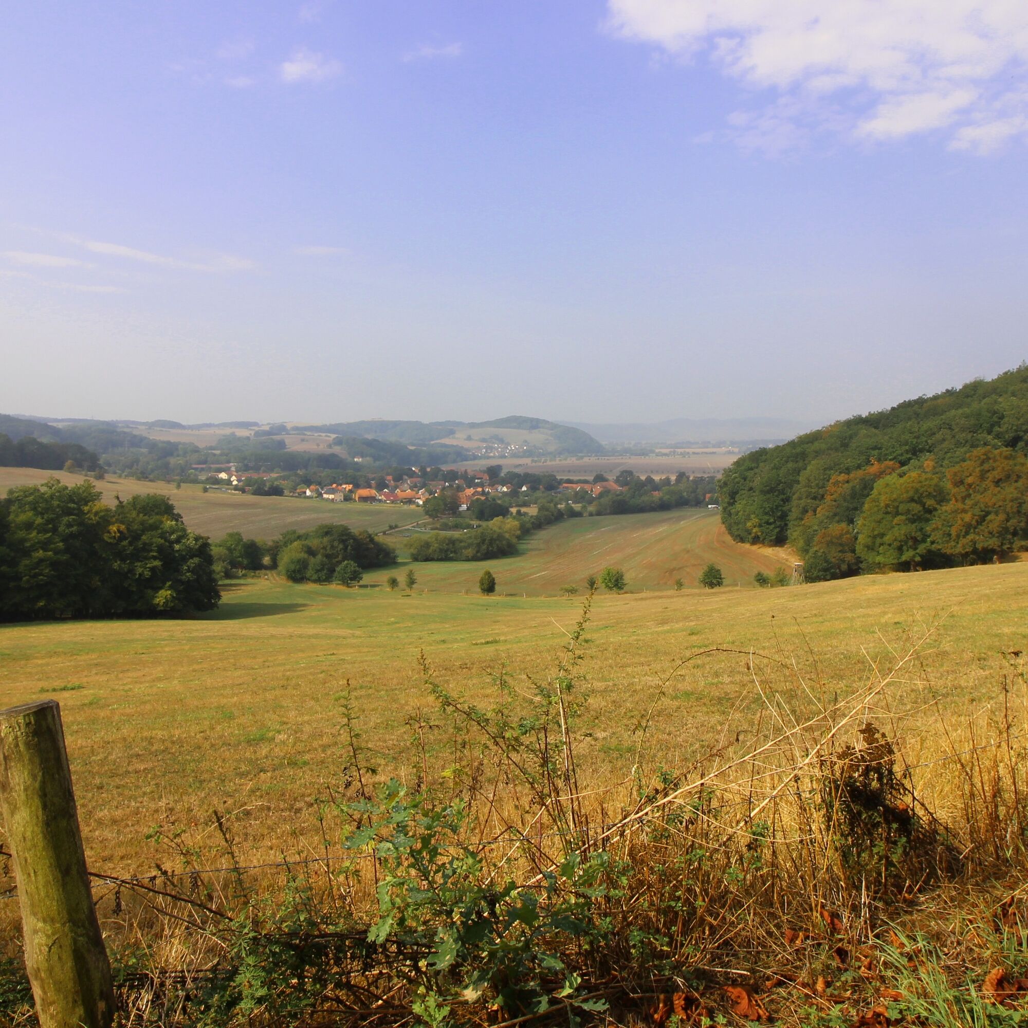
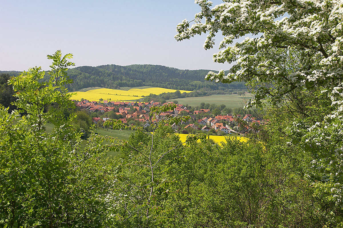
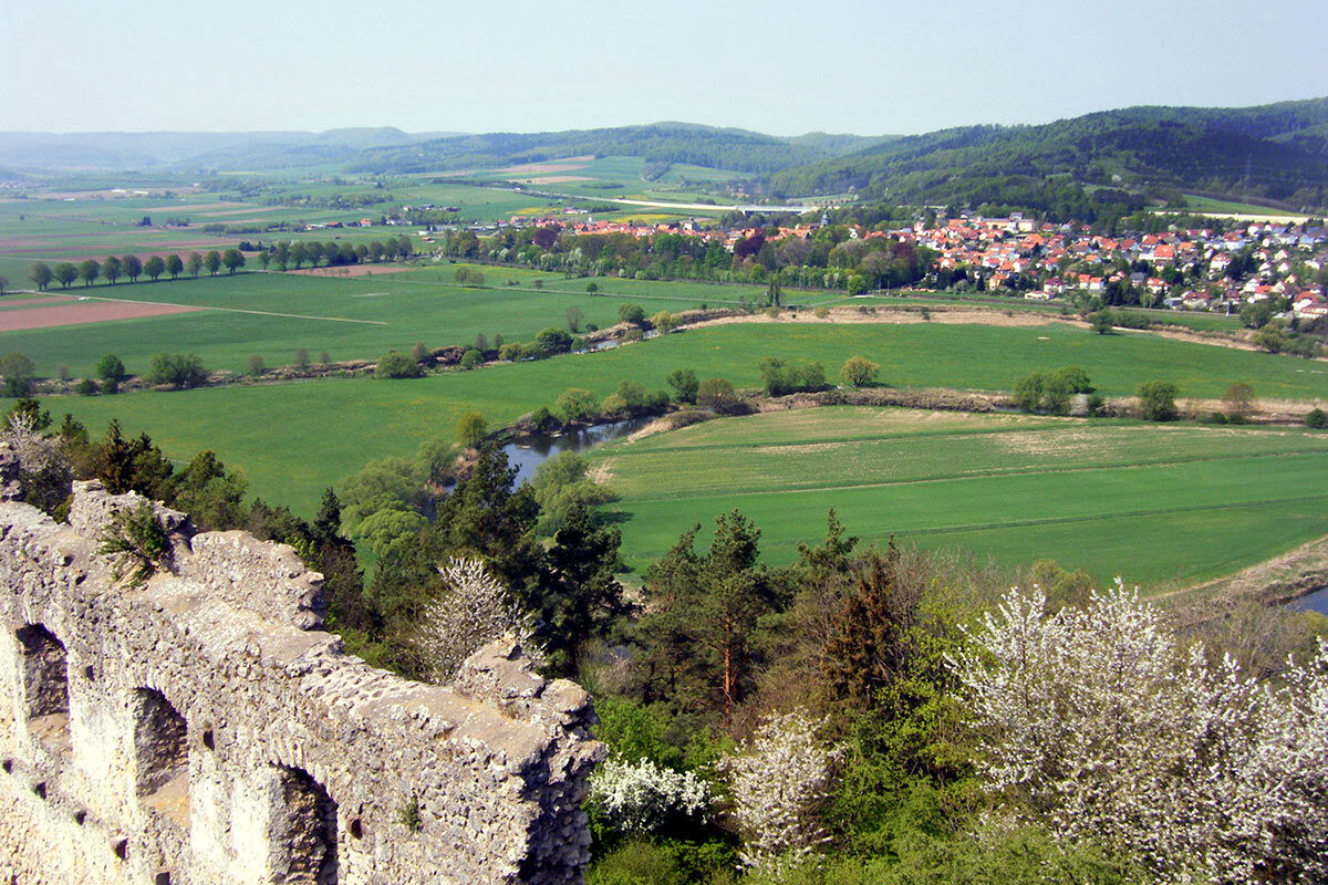

Bus stop Neuenhof - Waldstraße - Hungerborn - charcoal burner’s hut - mournful ash - Arnswaldbuche - Tea House - Brandenburg Ruin - Bus stop Lauchröden.
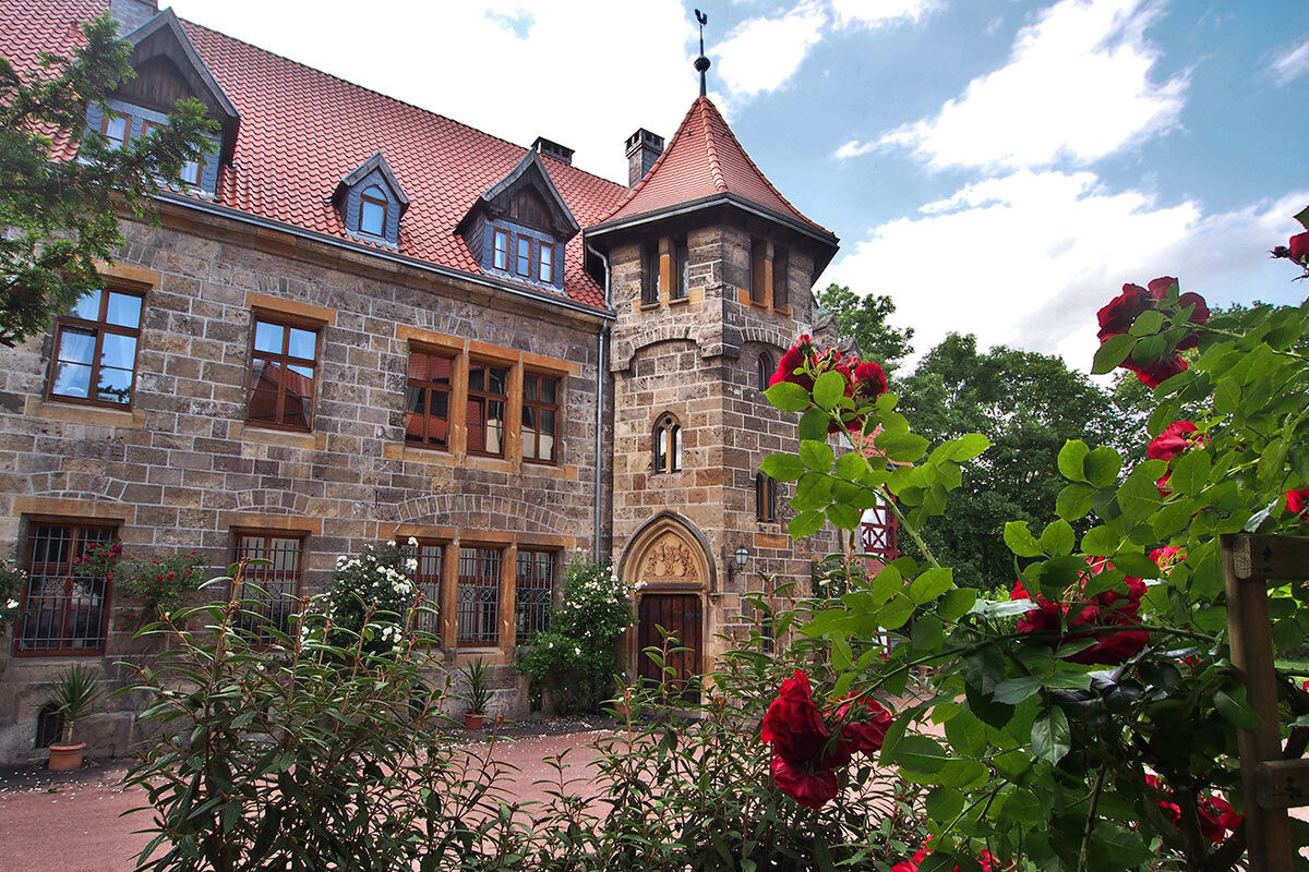
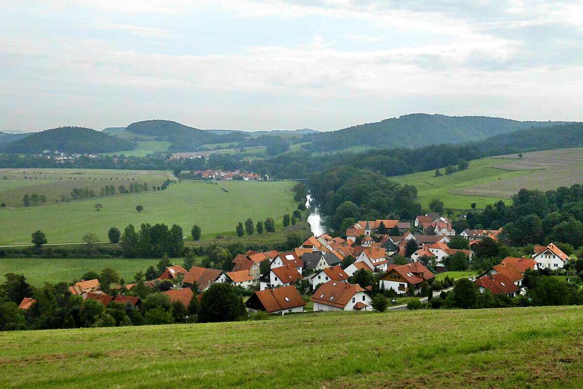
The hike starts in Neuenhof directly at the bus stop right by the inn "Zur Guten Quelle." Take a look at the gem Rothenhansche Schloss directly on the Werra riverbank just behind the church. The route leads you south out of the village towards the forest, past the Hungerborn. The copper shale mining from bygone days has left visible traces. Also, a charcoal burner’s hut by the wayside points to the old craft. Around the copper mountain, the path snakes slowly through meadows and forests. Soon you reach the Wartburg Path (X9), which takes you past the Arnswaldbuche towards Brandenburg. Just before the castle, at the highest point, enjoy the view from the former reconnaissance barrack of the Red Army into the Elte and Werra valleys, also called the "Tea House." Downhill leads to the romantic Brandenburg Ruin, which is always worth a visit. The endpoint of the route can be the bus stop in Lauchröden, the train halt in Herleshausen, or the car park at the Brandenburg Ruin.
Áno
Sturdy footwear
Rain protection
GPS data, a smartphone for navigating, or map material
The hiking trail requires sturdy footwear. You sometimes walk on narrow paths. Avoid stepping on moss-covered stones and rocks due to slipping hazard and watch out for deadwood, branches, and fallen trees.
Do not leave the marked paths, especially at the reconnaissance bunker!
Alertness is the best safety gear.
Neuenhof: From A4 exit 38 Herleshausen, continue on L3251, turn right onto K17 over the railway line onto Herleshäuser Straße. In Wartha, turn left onto K505 towards Neuenhof.
Brandenburg Castle Ruin: As before, then in Wartha turn right onto K505 via Göringen continuing to Lauchröden. The car park is shortly before Lauchröden on the left side.
Lauchröden and Herleshausen lie on the Werra Valley Cycle Route.
Neuenhof lies on the Werra Valley Cycle Route.
The nearest ICE train station is in Eisenach. From there, bus line 181 runs directly to Neuenhof. .
On weekdays, the city bus line 2 also runs hourly from Eisenach to Lauchröden and back.
Use the travel portal of the Deutsche Bahn for travel planning via this link:
→ Arrival in Neuenhof
Return to Neuenhof
A direct route query between Lauchröden and Neuenhof in the return direction can be found here: → Return to Neuenhof
Alternatively, you can depart from the train halt Herleshausen.
Use the parking options on the roadside at Eisenacher Weg (Google NAV point) in Neuenhof.
There is a car park at the Brandenburg castle ruins.
Brandenburg Ruin + Werra Valley Association ZV Brandenburg e.V.
Werra Valley Association ZV Südringgau e.V.
Augustenau Castle in Herleshausen
The route lies within the following protected areas:
Thuringian Forest Nature Park
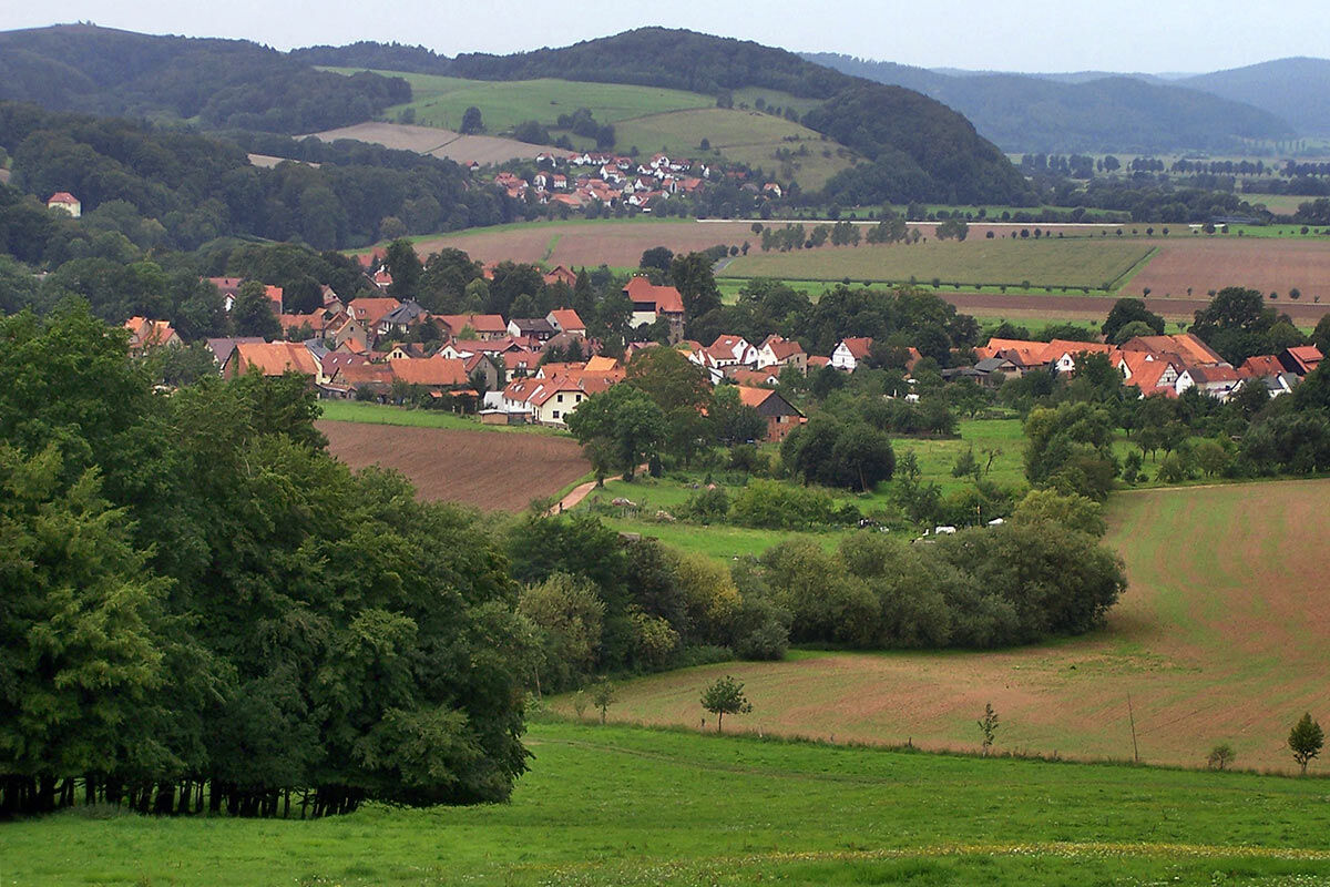
From the former reconnaissance bunker used by the Red Army, you have a magnificent panoramic view.
Obľúbené výlety v okolí
-
5,0
EA1 - Circular route - Gorge tour near Eisenach - Thuringian Forest
strednáTuristika 9,68 km -
3,9
EA2 - circular hiking route - "The Beauties of Eisenach" - Thuringian Forest
strednáTuristika 9,96 km -
5,0
Wartburg und Drachenschlucht
strednáTuristika 15,1 km -
4,7
IVV PW + GTW "In Luther's footsteps - Luther, dragons, landgraves, rose miracle..."
strednáTuristika 15,8 km -
4,8
Hike - "Rennsteig-Leiter Eisenach" Thuringian Forest
strednáTuristika 3,58 km -
5,0
Circular route 3 - Mariental/Drachenschlucht/Elfengrotte
strednáTuristika 3,54 km -
4,7
Hike - Rennsteig - Stage 1 - From Hörschel to Ascherbrück / Ruhla
ťažkéTuristika 19,1 km -
5,0
EA3 - Circular hiking trail - "Wartburg Experience Route" - Thuringian Forest
strednáTuristika 6,14 km -
4,0
Circular hiking trail - "Große Bermerrunde" - Ruhla - Thuringian Forest
svetloTuristika 8,14 km -
Circular hike - From the Rennsteig start via the "Stedtfeld Mining Educational Trail" near Eisenach - Thuringian Forest
strednáTuristika 11,0 km
Turistika a stopovanie


Nenechajte si ujsť ponuky a inšpiráciu na ďalšiu dovolenku
Vaša e-mailová adresa bol pridaný do poštového zoznamu.


