


Circular hiking route - Neustadt am Rennsteig/ Schönbrunn reservoir - Thuringian Forest
Fotografie našich používateľov
-
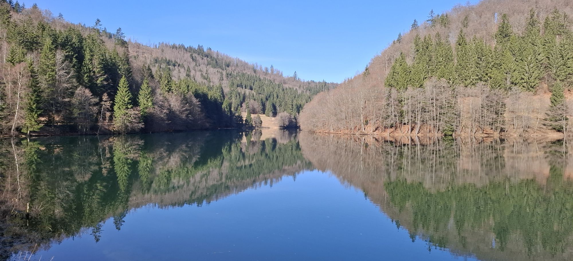
 © Karin-WandertVytvorené dňa 07.03.2026
 -
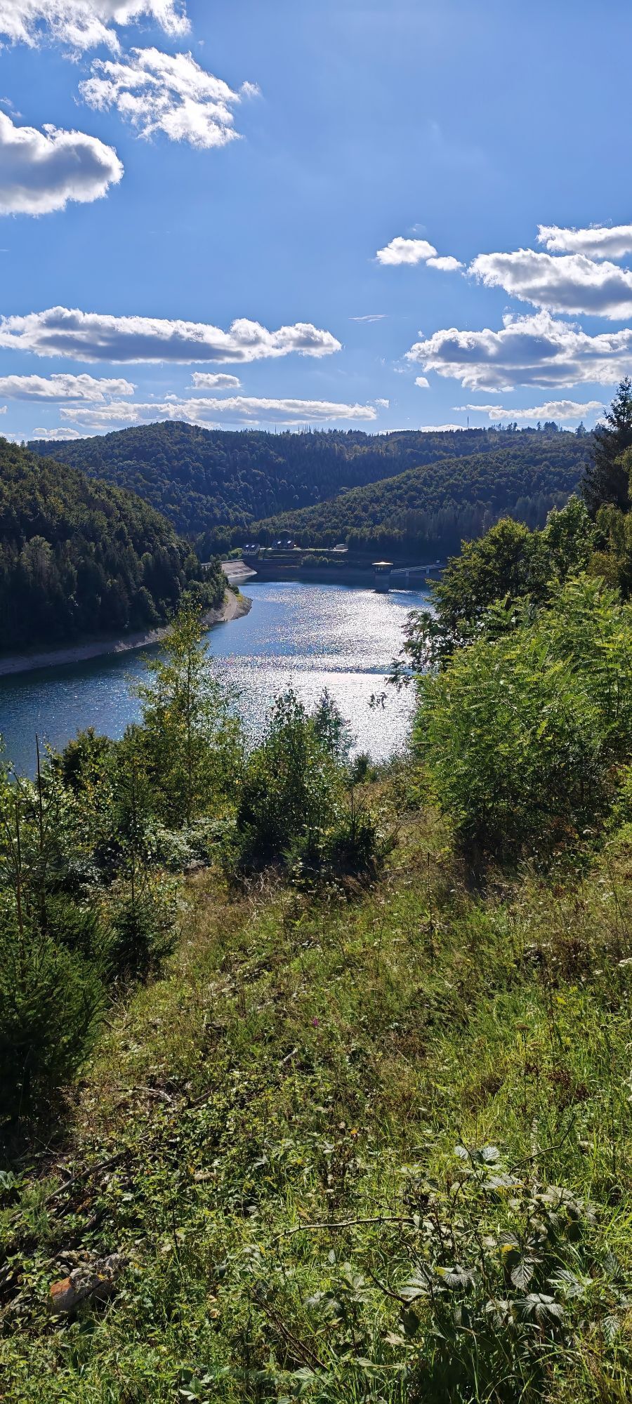
 © Jan 2505Vytvorené dňa 31.08.2025
 -
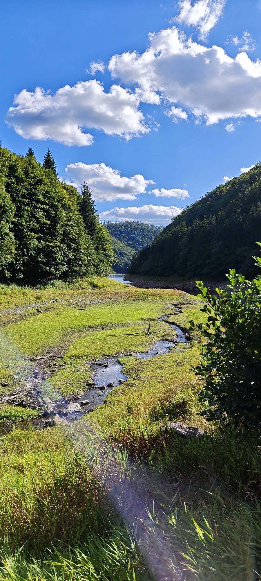
 © Jan 2505Vytvorené dňa 31.08.2025
 -
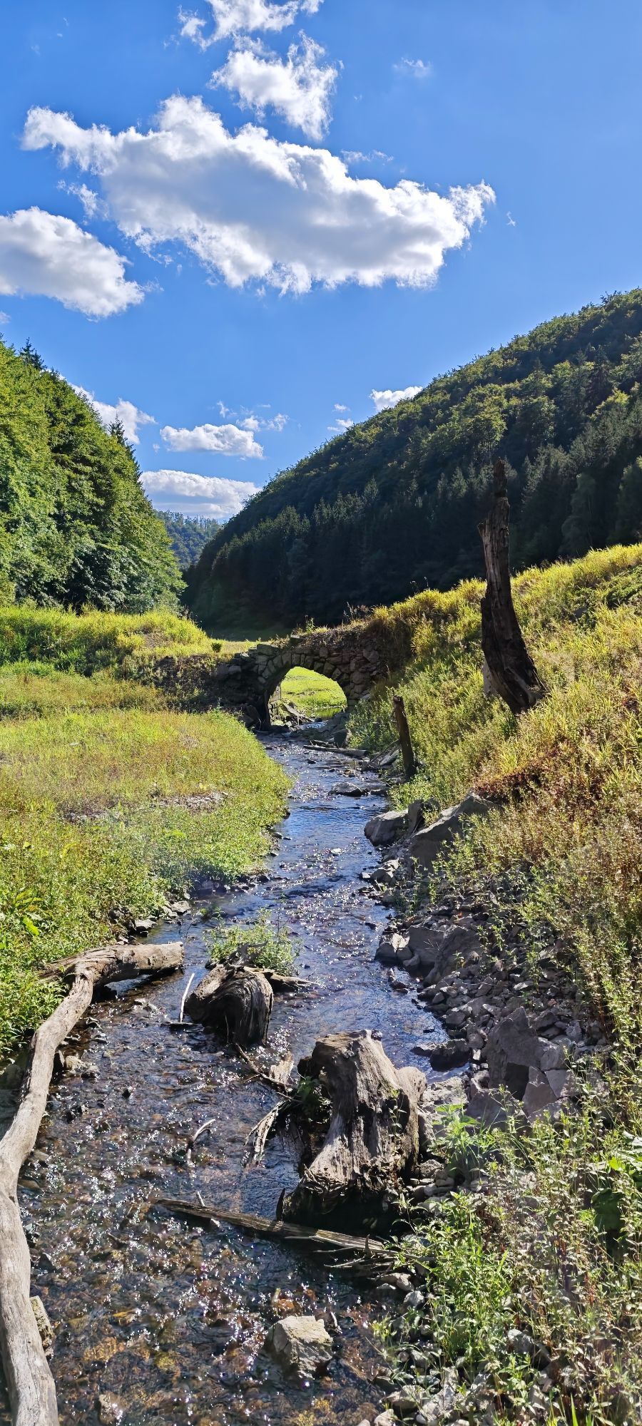
 © Jan 2505Vytvorené dňa 31.08.2025
 -
 © Jan 2505Vytvorené dňa 31.08.2025
 -
 © Jan 2505Vytvorené dňa 31.08.2025
 -
 © Jan 2505Vytvorené dňa 31.08.2025
 -
 © Jan 2505Vytvorené dňa 31.08.2025
 -
 © Jan 2505Vytvorené dňa 31.08.2025


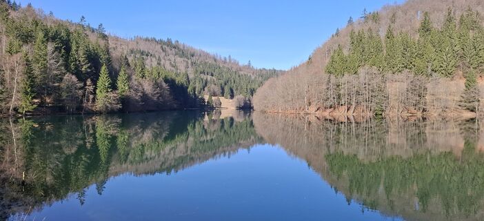
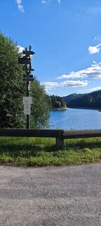
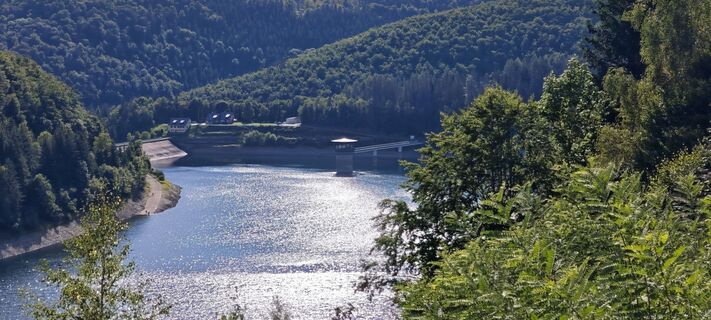
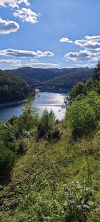
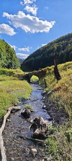
Start at the Rennsteig information Neustadt am Rennsteig and hike along Rennsteigstrasse, past the Michaelis church, along Kirchgasse towards the Schönbrunn reservoir. At the end of Kirchgasse please turn...
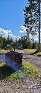
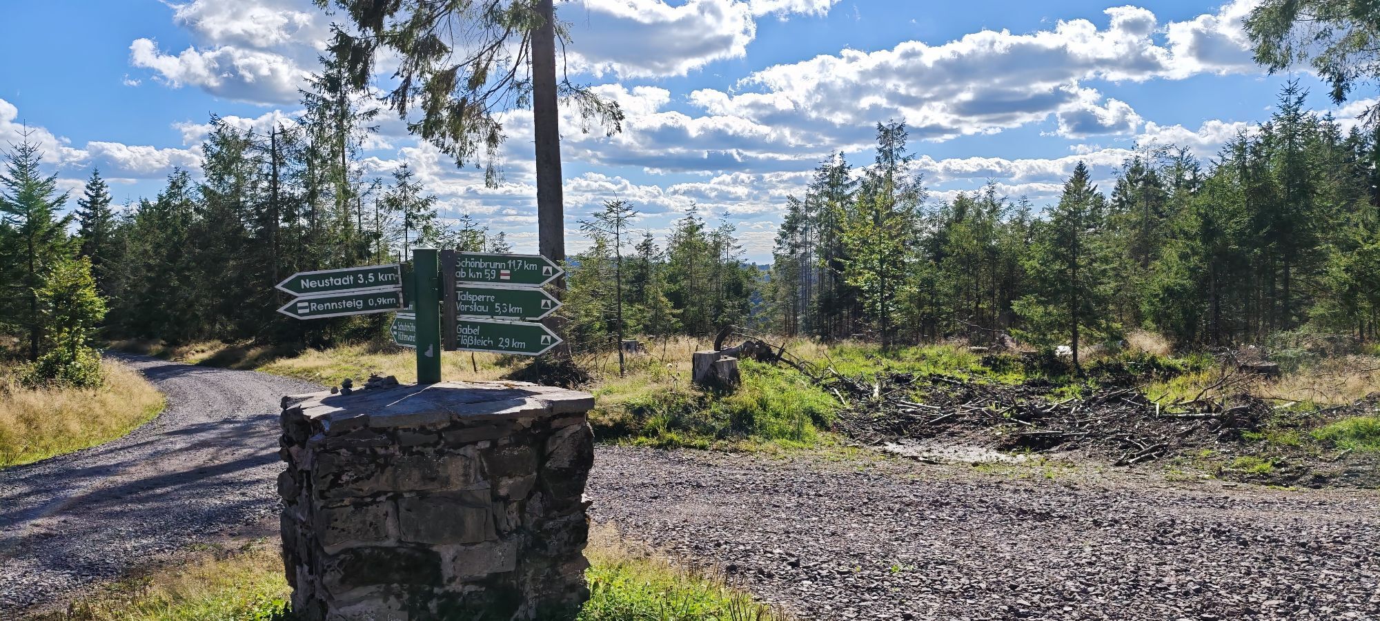
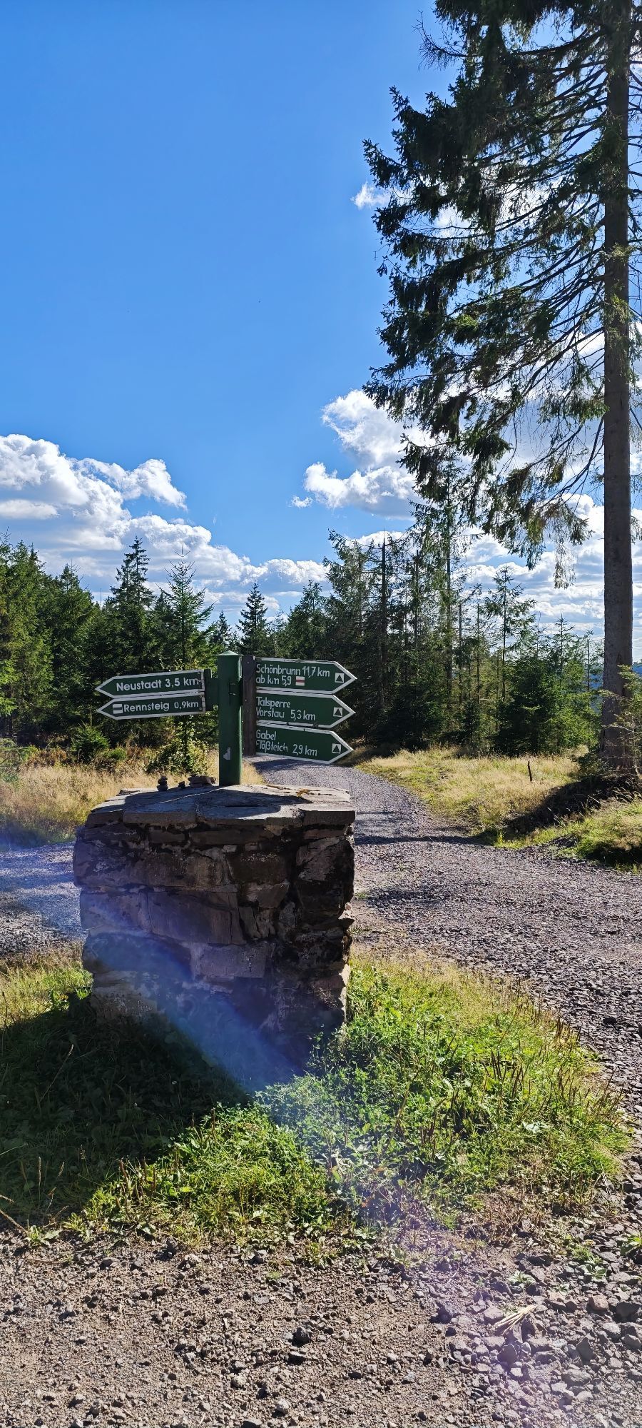
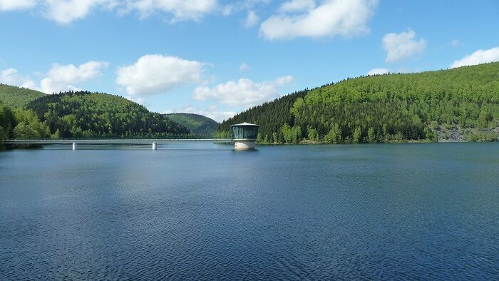
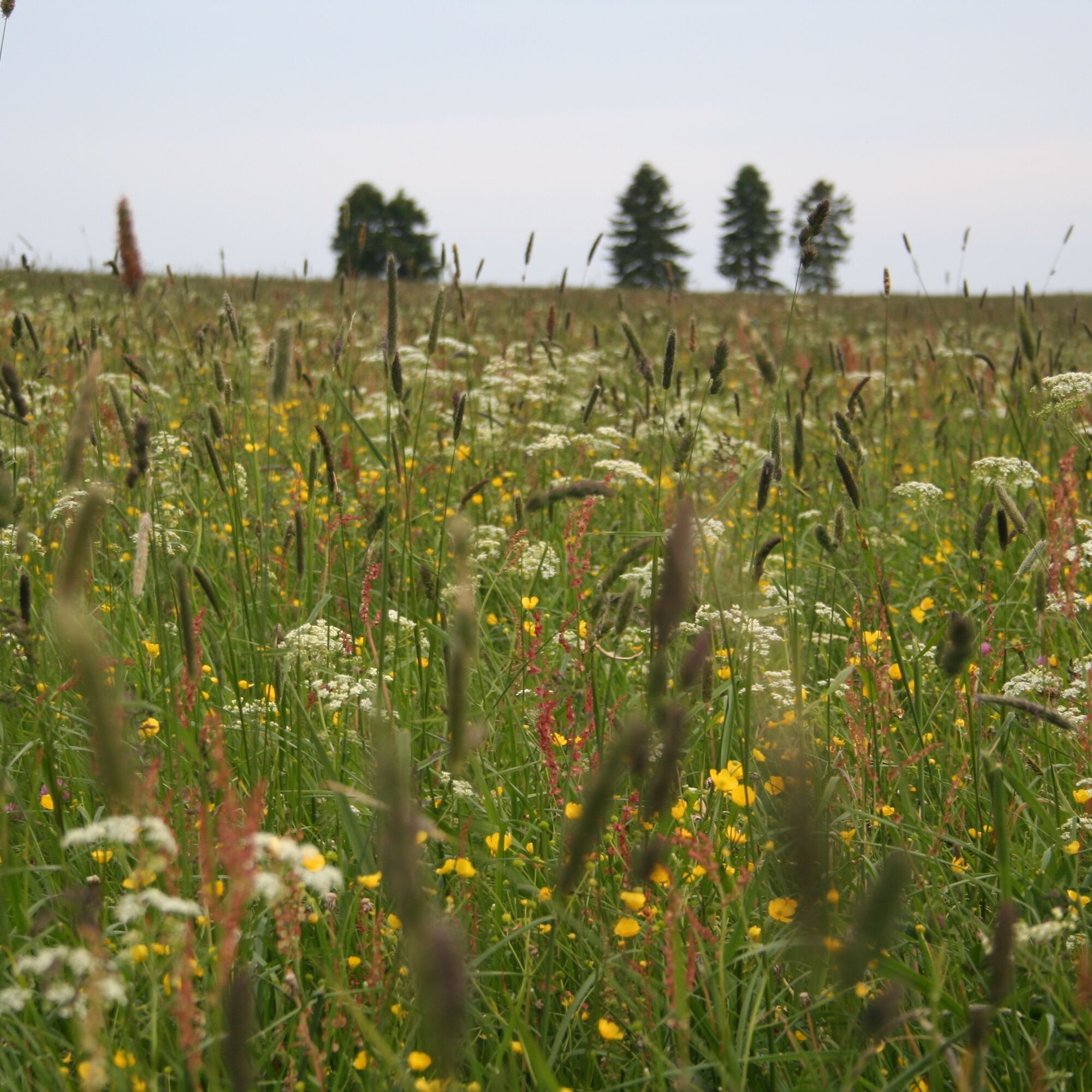
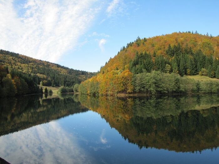
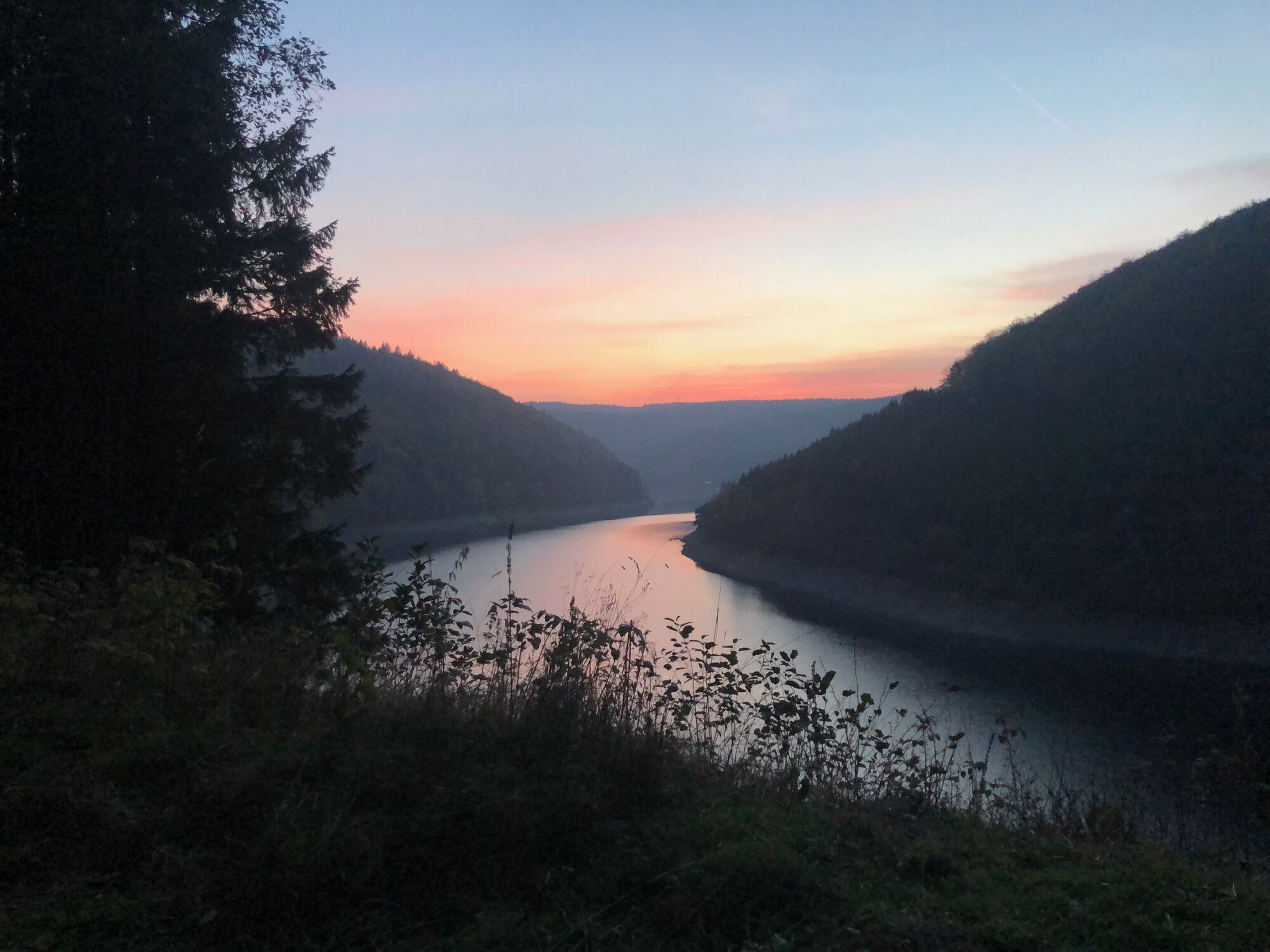
Start at the Rennsteig information Neustadt am Rennsteig and hike along Rennsteigstrasse, past the Michaelis church, along Kirchgasse towards the Schönbrunn reservoir. At the end of Kirchgasse please turn right and immediately left again. There you have a great view over the flowering mountain meadows down to the Tannengrund. Follow the meadow path to the left and stroll through the Hexenwäldchen. At the end you come to a wide forest path that leads you along the creek into the Tannengrund. When you reach the former construction road (turn left), always follow it until you reach the circular path around the reservoir. There follow the gravel path (circular path around the reservoir) always inside along the reservoir. After about 5 km you come to the fore-reservoir. Please continue straight ahead to the Gabler forester's lodge. Then it goes uphill again, past the Gabler rafting pond to the five-edged stone. At this point continue straight ahead to the Rennsteig and then right across the mountain meadows back to Neustadt am Rennsteig.


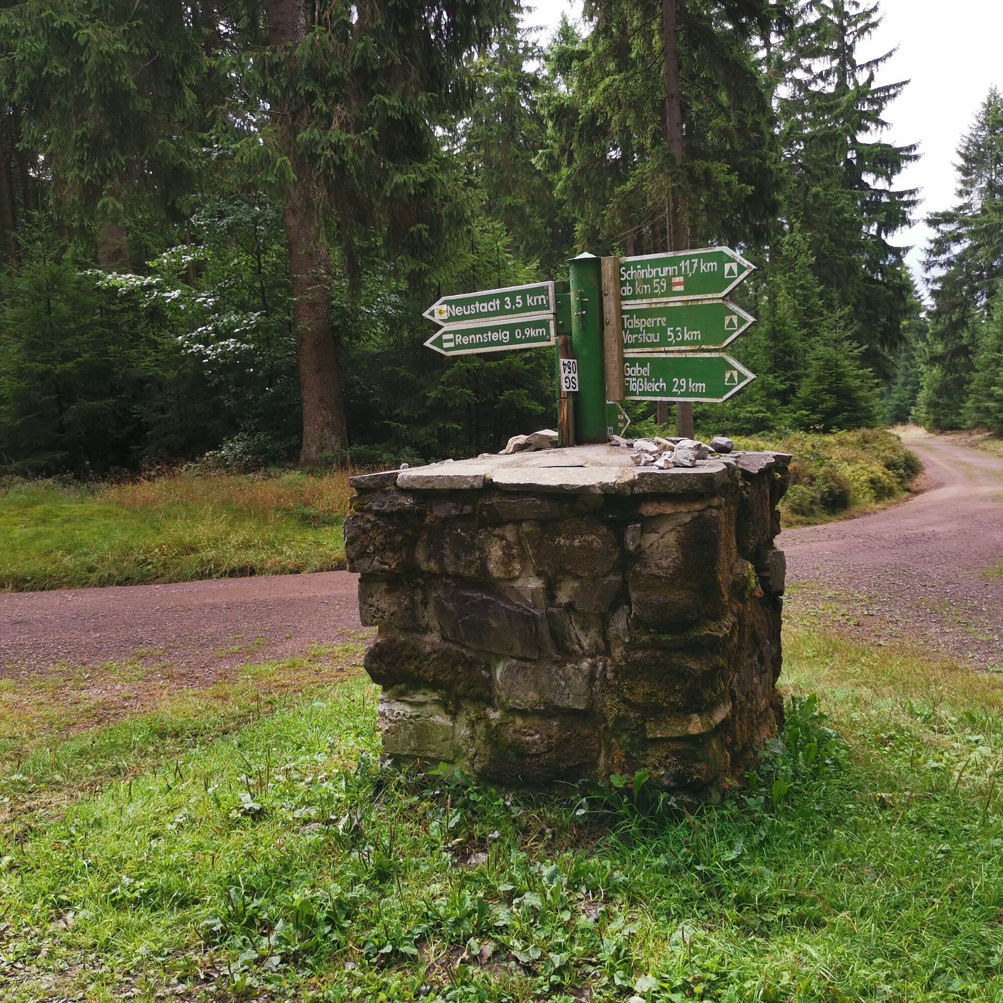
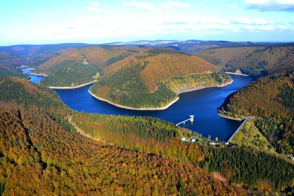
Town center Neustadt am Rennsteig, Rennsteig information - Kirchgasse - Hexenwäldchen - Tannengrund - inside around the reservoir - fore-reservoir - Gabler forester's lodge - Gabler rafting pond - five-edged stone - Rennsteig - town center Neustadt am Rennsteig, Rennsteig information
Áno
Sturdy footwear
Rainwear
First aid kit
GPS navigation device or smartphone
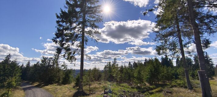
Please note the typical dangers of the forest! Walking is at your own risk! Avoid stepping on moss-covered stones and rocks due to the risk of slipping and watch out for deadwood, branches, and fallen trees.
Northern access:
via the A71 exit Ilmenau West, directly 16 km to Neustadt am Rennsteig
via the A71 exit Ilmenau East, 19 km via Gehren and Möhrenbach to Neustadt am Rennsteig
Southern access:
via the A 73 exit Eisfeld North, 20 km via Waffenrod-Hinterrod and Masserberg
via A 71 Suhl/Zella-Mehlis, 30 km via Suhl and Schmiedefeld a. Rstg.
You can reach Ilmenau with trains of the Deutsche Bahn and Erfurter Bahn. For detailed travel information please use the travel portal of Deutsche Bahn.
Bus line 304 from Ilmenau to Neustadt am Rennsteig (daily) IOV
Bus line 209 from Eisfeld via Masserberg to Neustadt am Rennsteig and back (weekdays) Werrabus
Bus line 202 from Schleusingen via Masserberg to Neustadt am Rennsteig continuing to Frauenwald and Schmiedefeld/Rstg. and Schleusingen (on weekends and public holidays)
Parking lot at the Rennsteig information (around the community center "Kammweg" Neustadt am Rennsteig) (Google NAV point)
A visit to the Rennsteig Museum is worthwhile. Immerse yourself in the history of tinder fungi.
Obľúbené výlety v okolí
-
5,0
Naturlehrpfad Gießübler Schweiz
strednáTuristika 7,99 km -
3,0
Circular hike - "4 ponds hike" Neustadt am Rennsteig - Thuringian Forest
ťažkéTuristika 12,6 km -
3,8
Rundweg Talsperre
strednáCyklistika 14,5 km -
The Rennsteig - long-distance hiking trail from Hörschel to Blankenstein - Thuringian Forest
ťažkédiaľková pešia trasa 169,0 km -
5,0
Circular hiking route - TOP 1 - Werra Source - Masserberg - Thuringian Forest
strednáTuristika 5,94 km -
5,0
Hiking - Summit hiking trail - Suhl-Goldlauter - Thuringian Forest
ťažkéTuristika 32,1 km -
Circular hike - Around the Schönbrunn reservoir - Thuringian Forest
strednáTuristika 15,6 km -
4,0
Circular hiking trail - TOP 4 - Masserberg - Fehrenbach Switzerland - Thuringian Forest
strednáTuristika 11,5 km -
5,0
Rundtour Staudamm
svetloTuristika 3,91 km -
4,5
Hiking - Rennsteig - Stage 4 - From Grenzadler to Allzunah
ťažkéTuristika 20,2 km

Turistika a stopovanie


Nenechajte si ujsť ponuky a inšpiráciu na ďalšiu dovolenku
Vaša e-mailová adresa bol pridaný do poštového zoznamu.