



Circular hiking trail 1 Altenfeld - Haube summit - Thuringian Forest

The start is at the marketplace. Past the listed church of Altenfeld the hiking route runs via Neustädter Straße towards Hochwald. To the left at the forest edge stands, almost like a small castle, the...
The start is at the marketplace. Past the listed church of Altenfeld the hiking route runs via Neustädter Straße towards Hochwald. To the left at the forest edge stands, almost like a small castle, the water basin. We then turn right onto the dog lawn path, past the Rotkopfbach over a small bridge to the starting point of the Haube path. Past tall spruces the path leads partly gently, partly steeply upwards and on the plateau our hiking path crosses the middle Hauberingweg. Follow the signposts past the Hintere Haube to the Vordere Haube. There is a magnificent viewing tower there. A short steep descent leads you back to the middle Haubeweg. Here you turn right and follow it. After about 1 kilometer you walk left downhill towards Altenfeld. Upon arriving in the town, follow Lange Gasse back to the starting point at the marketplace.

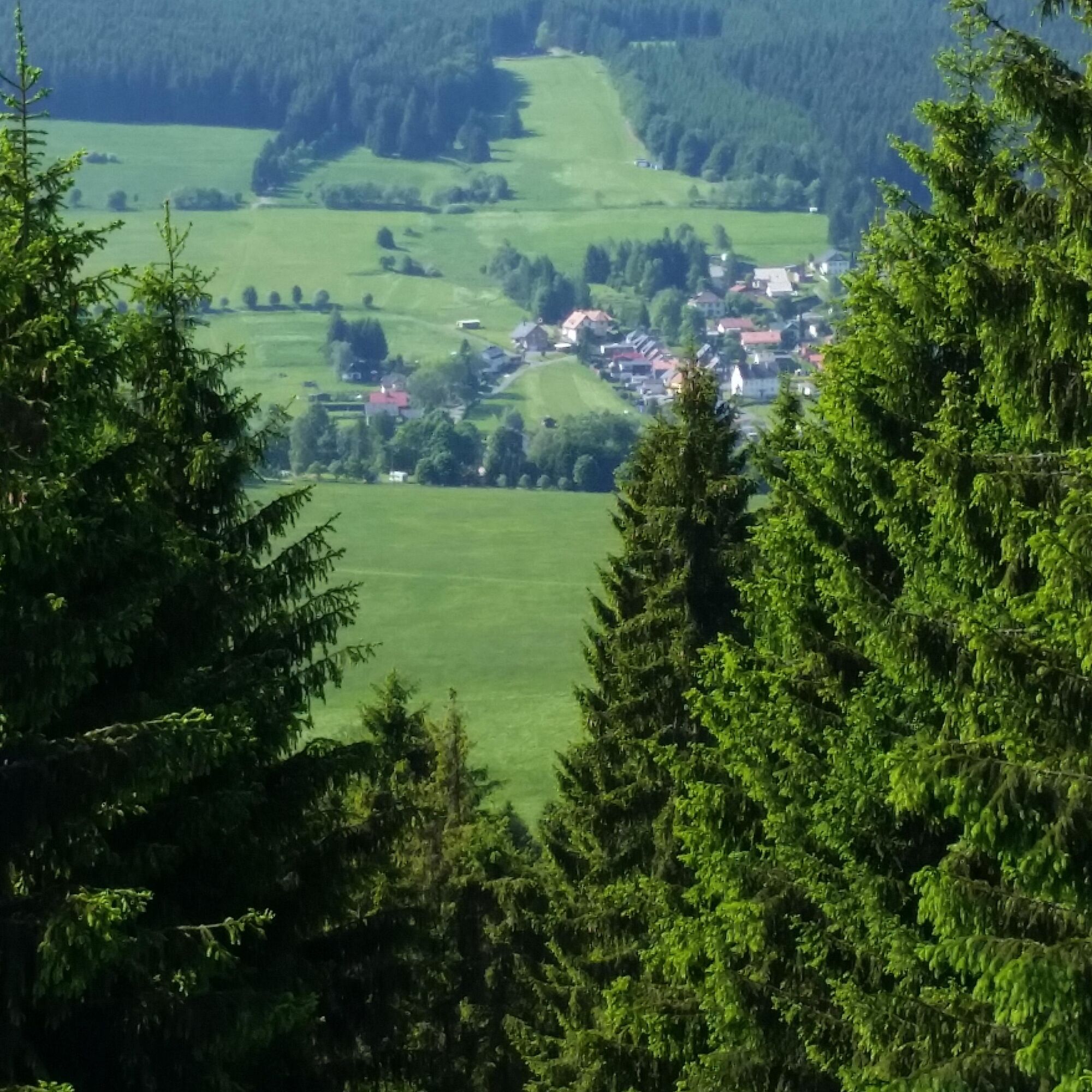
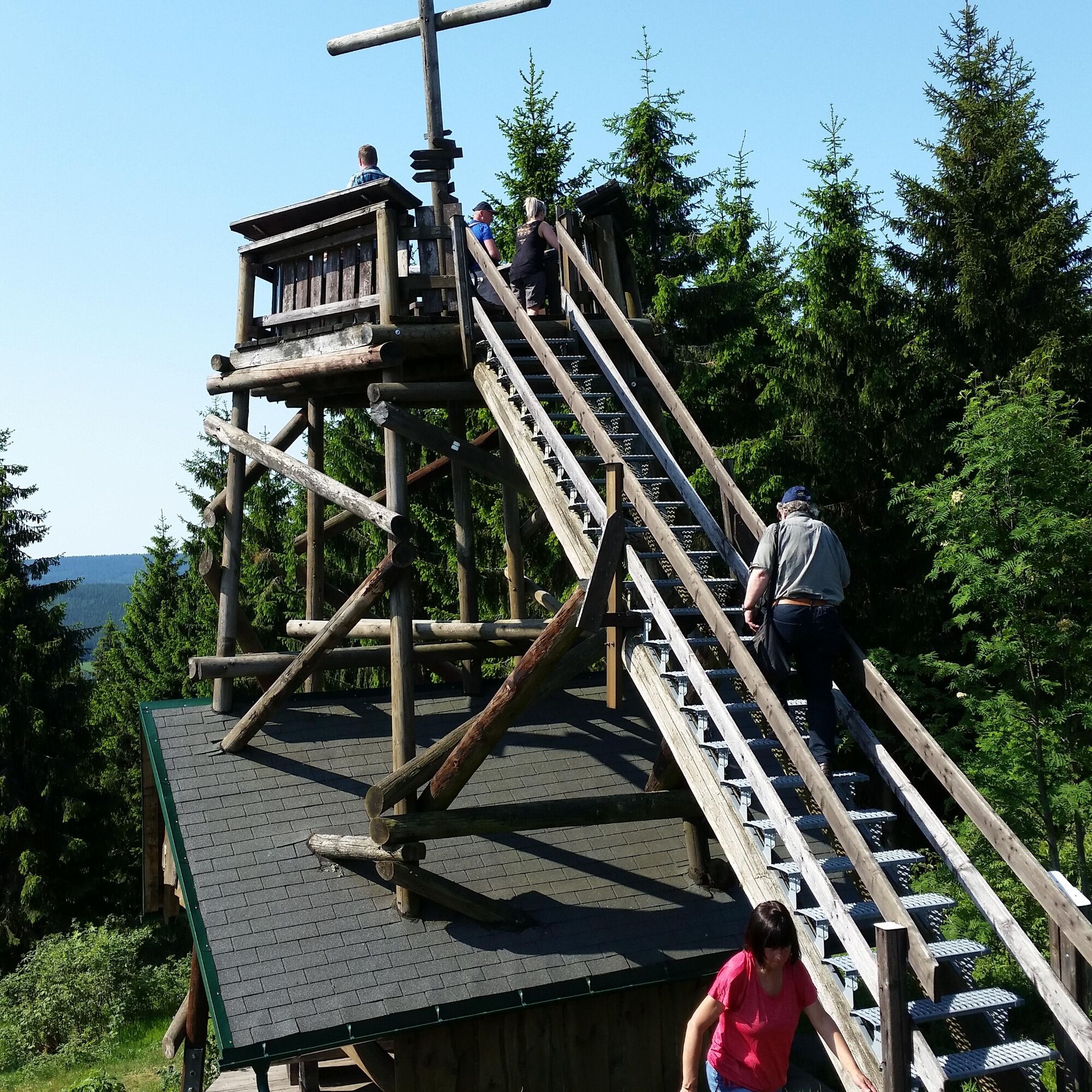
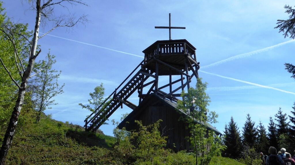
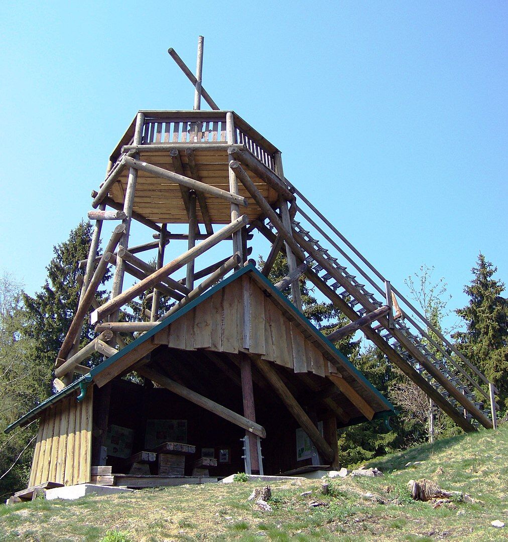
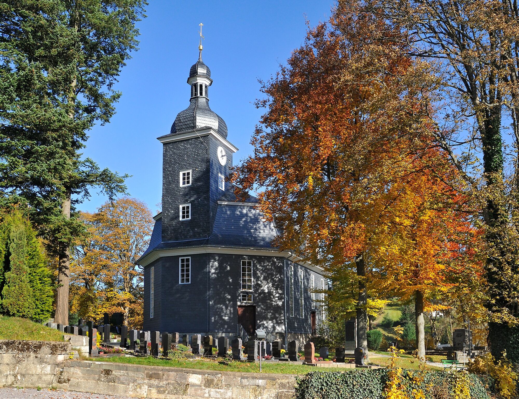

Marktplatz Altenfeld - Kirchhügel - Neustädter Straße - Wiesenweg - Hintere Haube - Vordere Haube - Mittlere Hauberingweg - Wiesenweg - Lange Gasse - Marktplatz Altenfeld
Áno
Sturdy footwear
Rainwear
First aid kit
GPS navigation device or smartphone
Be aware of typical forest hazards! The hike is at your own risk! Avoid walking on moss-covered stones and rocks due to slipping hazards and watch out for deadwood, branches and fallen trees.
Northern arrival:
via the A71 exit Ilmenau West, 19 km via Neustadt am Rennsteig to Altenfeld
via the A71 exit Ilmenau East, 19 km via Gehren, Möhrenbach and Großbreitenbach to Altenfeld
Southern arrival:
via the A 73 exit Eisfeld North, 20 km via Waffenrod-Hinterrod and Masserberg to Altenfeld
via A 71 Suhl/ Zella-Mehlis, 32 km via Suhl, Schmiedefeld a. Rstg. and Neustadt am Rennsteig to Altenfeld
You can reach Ilmenau by trains of the Deutsche Bahn and Erfurt Railway.
For detailed travel information please use the travel portal of the Deutsche Bahn.
Bus line 304 from Ilmenau to Altenfeld (daily)
Parking lot at the market (Google nav point)
Visit Altenfeld Glass Museum
Visit the Eger Family Music Automat Collection
Haube viewpoint
Altenfeld forest swimming pool

Obľúbené výlety v okolí
-
5,0
Naturlehrpfad Gießübler Schweiz
strednáTuristika 7,99 km -
3,0
Circular hike - "4 ponds hike" Neustadt am Rennsteig - Thuringian Forest
ťažkéTuristika 12,6 km -
3,8
Rundweg Talsperre
strednáCyklistika 14,5 km -
The Rennsteig - long-distance hiking trail from Hörschel to Blankenstein - Thuringian Forest
ťažkédiaľková pešia trasa 169,0 km -
5,0
Circular hiking route - TOP 1 - Werra Source - Masserberg - Thuringian Forest
strednáTuristika 5,94 km -
5,0
Rundtour Staudamm
svetloTuristika 3,91 km -
Around the Kickelhahn - Ilmenau - Nature Park Trail - Thuringian Forest
strednáTuristika 10,7 km -
4,5
Hiking - Rennsteig - Stage 4 - From Grenzadler to Allzunah
ťažkéTuristika 20,2 km -
4,0
Circular hiking trail - TOP 4 - Masserberg - Fehrenbach Switzerland - Thuringian Forest
strednáTuristika 11,5 km -
5,0
Circular hike - To the Schönbrunn Dam - Frauenwald
strednáTuristika 15,1 km
Turistika a stopovanie


Nenechajte si ujsť ponuky a inšpiráciu na ďalšiu dovolenku
Vaša e-mailová adresa bol pridaný do poštového zoznamu.


