







Circular hiking trail - Saale, Wisenta Valley and Plothengrund - Ziegenrück
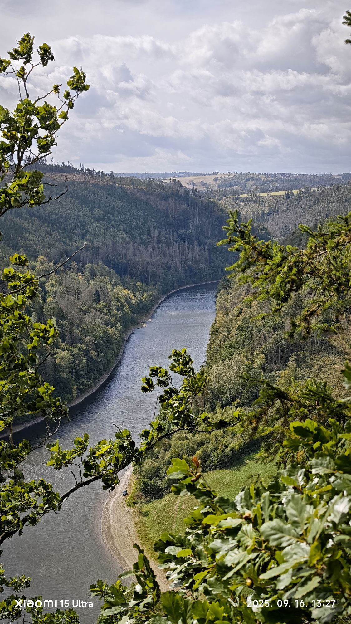
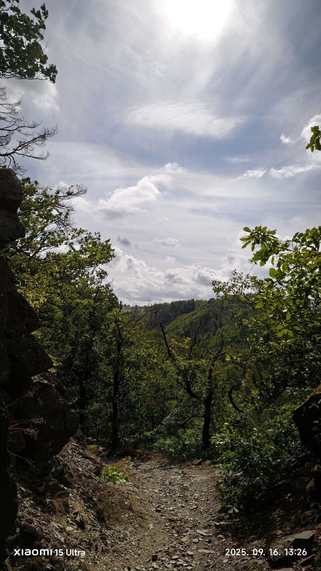
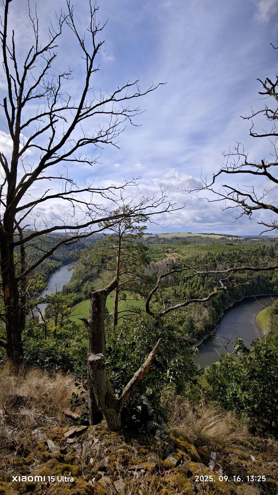
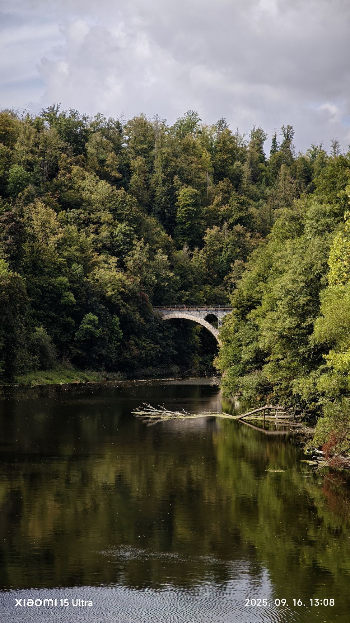
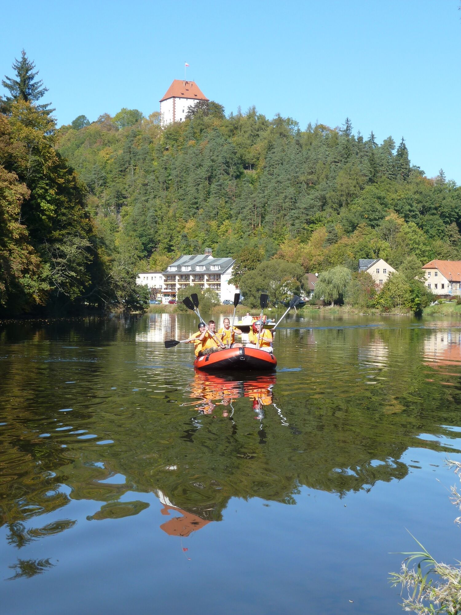
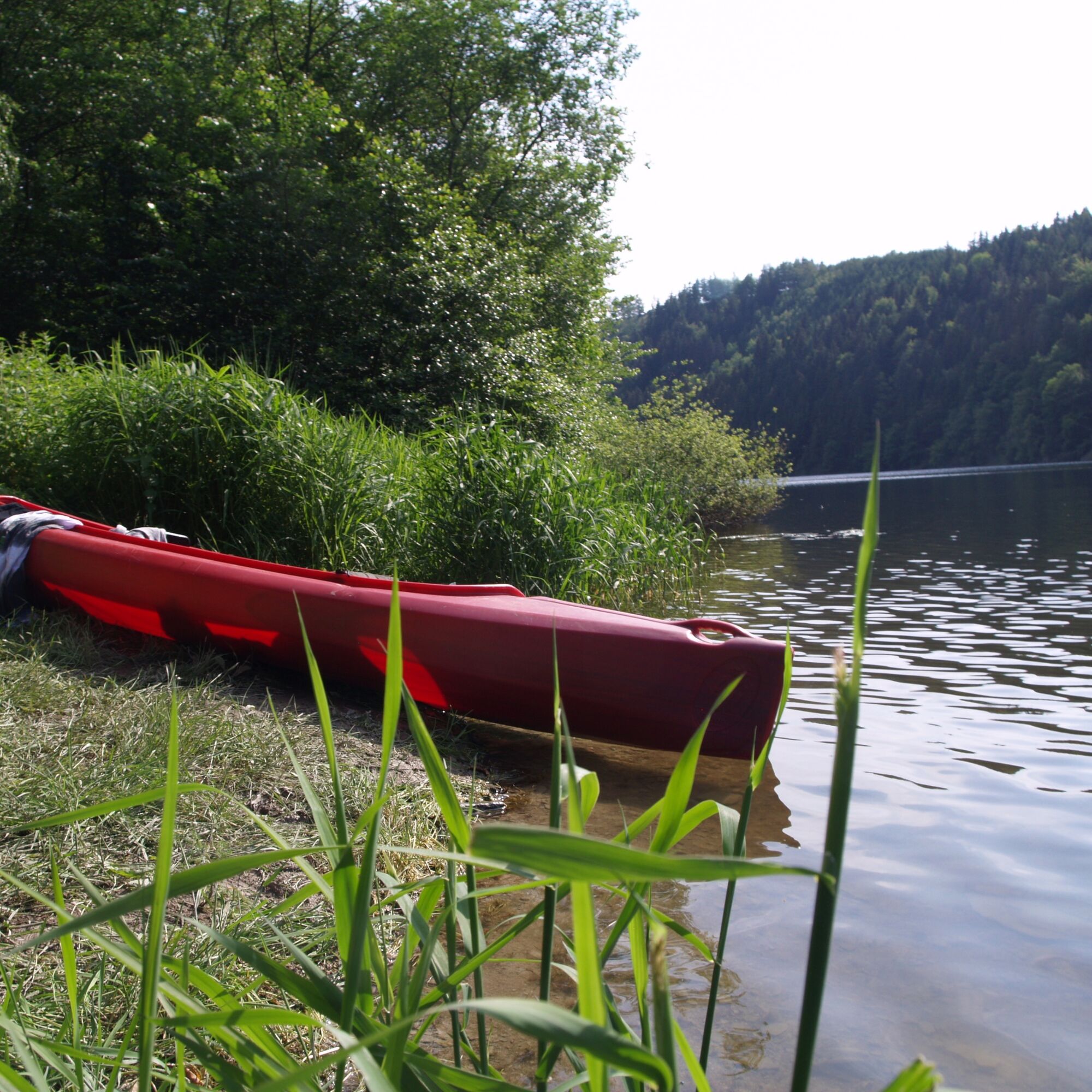
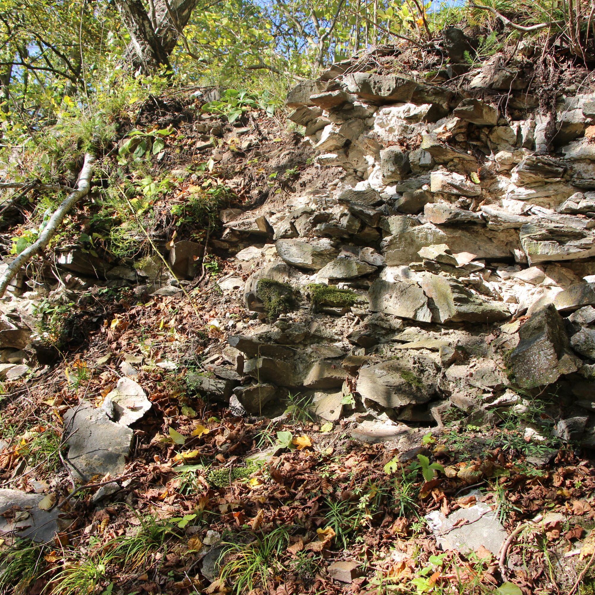
Dark coniferous forests alternate with idyllic clearings and the impressive steep slopes of the Upper Saale. Along the stream beds at the roadside, the attentive hiker can discover the special features...
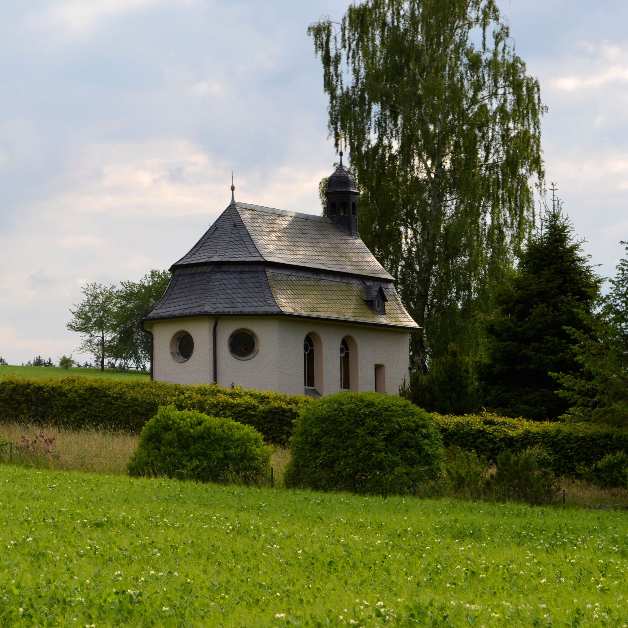
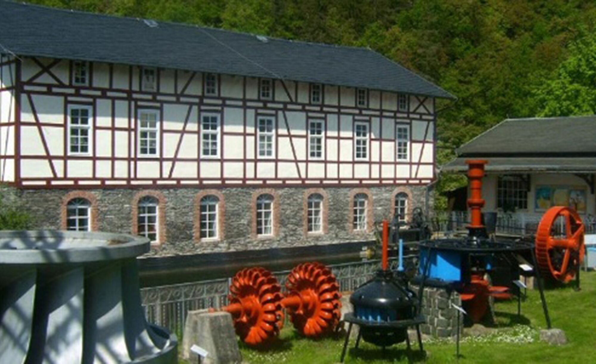
Also, the region's campsites, the holiday land Crispendorf with its park railway, the venerable Nikolaus chapel in Dörflas, and the Ziegenrück hydropower museum attract numerous visitors annually and are certainly worth a detour.
The circular hiking trail can also be combined with the adjacent Hohenwarte reservoir trail, which takes you on a length of 75 kilometers around Germany's fourth largest reservoir.



Marking: red square on white background
Ziegenrück - Essbach- Dörflas - Walsburg - Ziegenrück
Sturdy footwear
Spare drinks (especially in hot temperatures)
small snack, as there are hardly any supply options on the way, dining options not continuous and open daily
GPS device or GPS-enabled smartphone with onboard map material or offline maps
first aid kit
rainwear if necessary
Pay attention to the typical dangers of the forest! Walking is at your own risk! Avoid walking on moss-covered stones and rocks due to the risk of slipping and watch out for deadwood, branches and fallen trees.
Came from the west you first reach the town of Saalfeld/Saale via federal road B88 and from there continue via B85 and B281 to the municipality of Unterwellenborn. Pass through the villages Kamsdorf, Bucha and Kalte Schenke via Hohe Straße until Schmorda. Here turn right at the intersection to Moxa and then on to Ziegenrück.
From the Gera main train station, walk 300m to the bus station and take the bus line 810 to Schleiz. Here, change at the bus station and take the bus line 966 to Ziegenrück. (Return times).
From the Saalfeld/Saale main train station, walk 100m to the bus station and take the Thuringian Sea hiking bus, line 590 to Ziegenrück. (Return times).
Tip: With KomBus you can use the special offers from the Central Thuringia Transport Association (VMT) or use the travel planner of the German Railway.
or use the parking areas along the:
Saalestraße (Google NAV point) approx. 230m Lobensteiner Straße (Google NAV point) approx. 450m Paskaer Straße (Google NAV point) approx. 500mother dining and supply options / accommodation
(not continuous and open daily!)
Hotel am Schlossberg in Ziegenrück (Google Nav point) Tel.: +4936483750 Hotel & Restaurant "Zur Fernmühle" in Ziegenrück (Google Nav point) Tel.: +493648370190 Hotel & Pension "Heinke" in Ziegenrück (Google Nav point) Tel.: +493648370190 Hotel & Pension "Thüringer Hof" in Ziegenrück (Google Nav point) Tel.: +4936483129955 Hostel Ziegenrück in Ziegenrück (Google Nav point) Tel.: +4915734363363 Guesthouse and pension Wagner in Ziegenrück (Google Nav point) Tel.: +493648322223 Bakery Hudeczek owner Susan Heinrich in Ziegenrück (Google Nav point) Tel.: +493648322627 Snack bar Saaleblick in Ziegenrück (Google Nav point) Tel.: +491628843418 Saale market (retail) in Ziegenrück (Google Nav point) Tel.: +493648322278A visit to the hydropower museum is highly rewarding.

Obľúbené výlety v okolí
-
Circular route - Otter Bay and Devil's Pulpit - Ziegenrück
strednáTuristika 16,8 km -
5,0
Circular hiking trail for children - "1000-Ponds-Circular Route"
strednáTuristika 8,25 km -
4,5
Von Ziegenrück zur Fernsicht
strednáTuristika 5,50 km -
5,0
Hohenwarte Reservoir Way - Section 2 - Camping Wilhelmsdorf Portenschmiede → Ziegenrück
ťažkéTuristika 18,2 km -
4,0
Circular route - "Wichtelweg" - Wilhelmsdorf
svetloTematická trasa 2 km -
5,0
Von Dreba zum Plothener Hausteich
svetloTuristika 7,68 km -
Rund um Schloss Burgk
svetloTuristika 7,04 km -
4,0
Hohenwarte Reservoir Trail - Stage 3 - Ziegenrück → Drognitz
ťažkéTuristika 14,1 km -
4,0
Rund um die BleilochTalsperre - Saalburg Beach und zurück
strednáE-MTB 20,1 km -
5,0
Marienstein in Saaldorf - circular hiking route - Bad Lobenstein
strednáTuristika 5,67 km
Turistika a stopovanie


Nenechajte si ujsť ponuky a inšpiráciu na ďalšiu dovolenku
Vaša e-mailová adresa bol pridaný do poštového zoznamu.





