







Circular hiking trail - "Through the Siddelheide" - Floh Seligenthal - Thuringian Forest
The small round route is perfect for families with children. You walk on well-maintained paths all suitable for strollers.
The path is mostly flat; only at the beginning you will face a small ascent of...
The small round route is perfect for families with children. You walk on well-maintained paths all suitable for strollers.
The path is mostly flat; only at the beginning you will face a small ascent of about 400m.

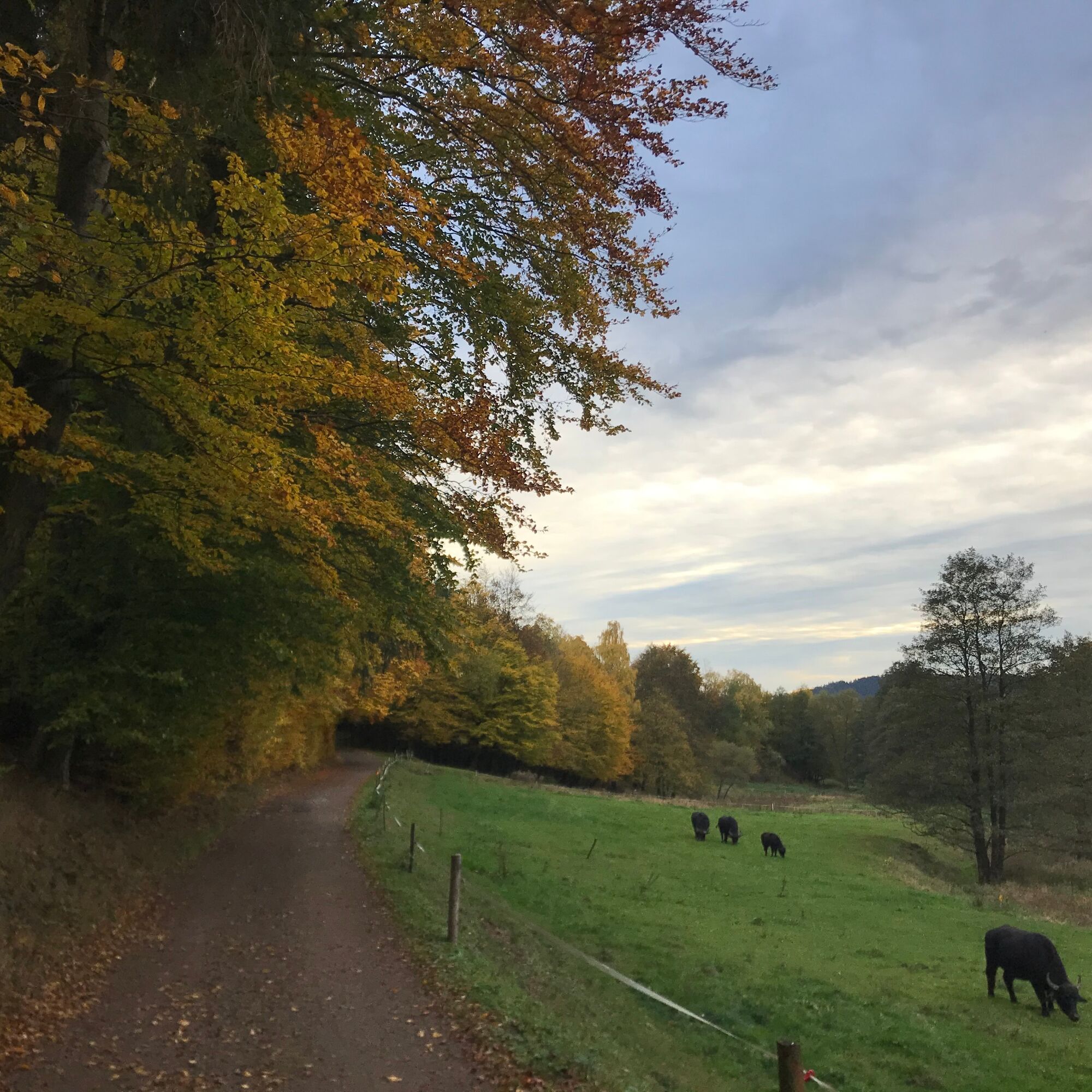
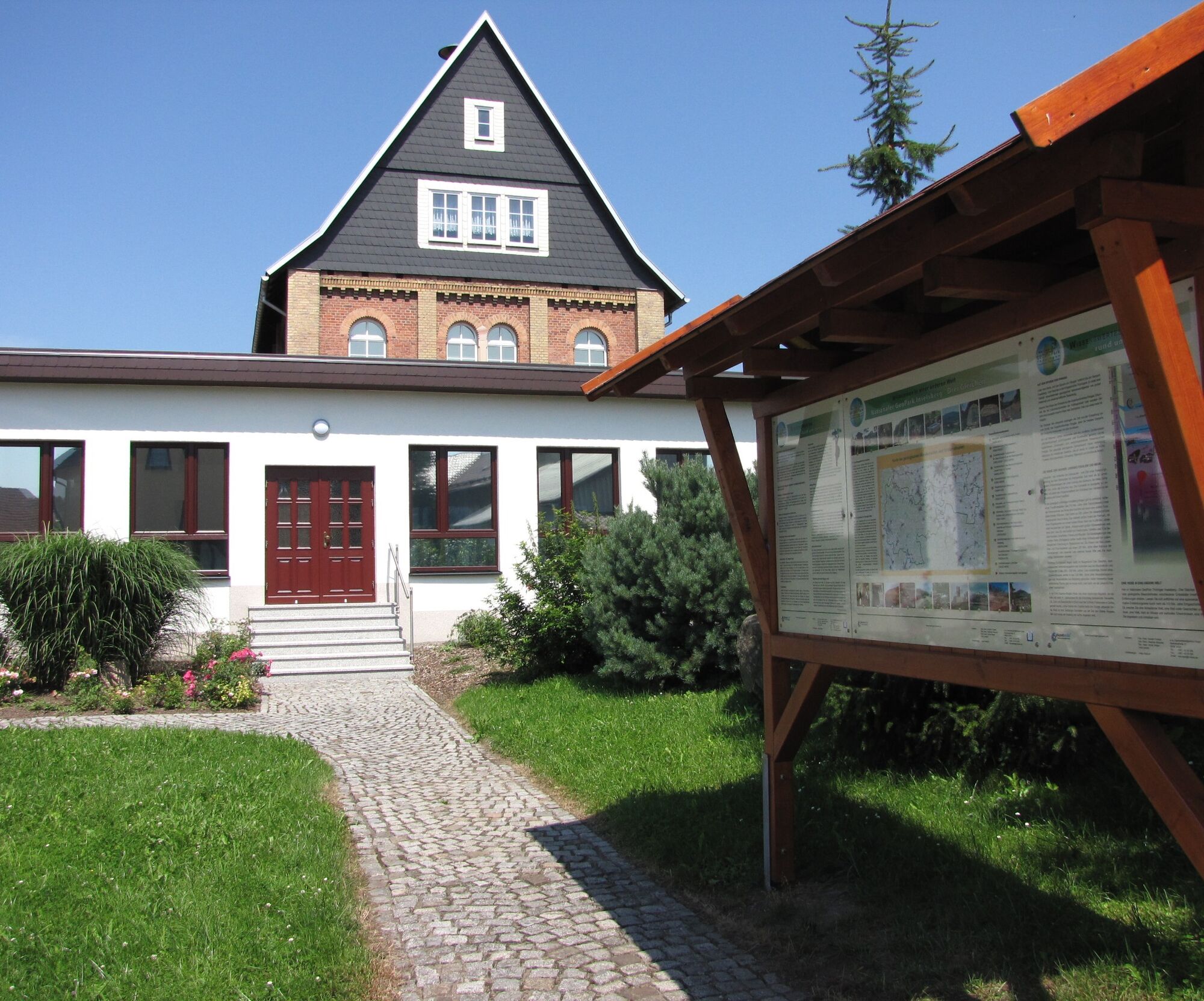
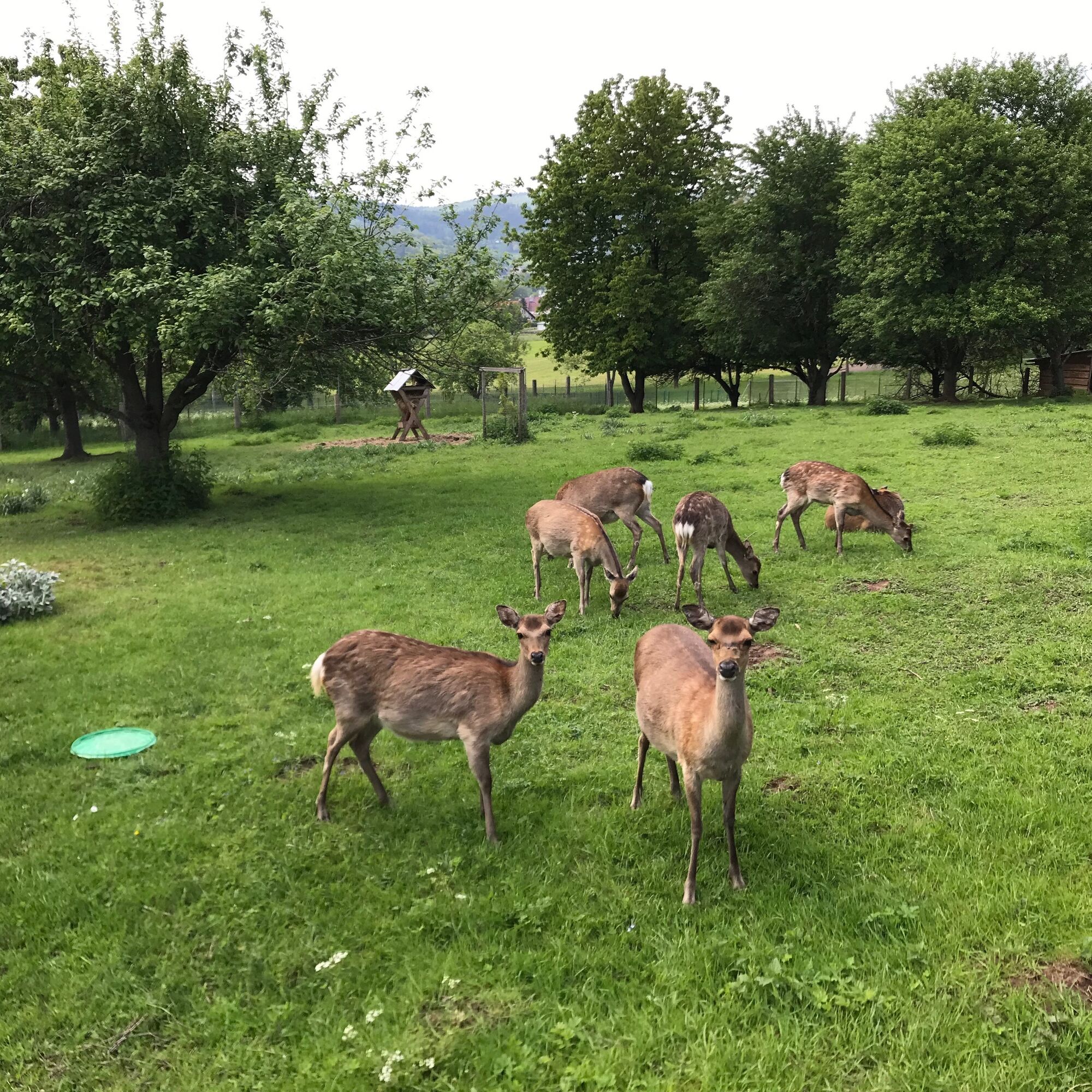

Parking lot municipal administration - Höhnberg Street - At the Spitze - School Street - Game enclosure - At Höhborn - Siddlehaide - Haderholzgrund - Siddlehaide spring - Peace Street - At the railway - Falkenburg Street - Parking lot municipal administration
Áno
Áno
sturdy footwear
weather-appropriate clothing
packed food is recommended
Please pay attention to the current trail conditions and the weather-dependent states.
Motorway exit Gotha-Boxberg via Schnepfenthal & Friedrichroda
Motorway exit Gotha via Georgenthal & Tambach-Dietharz
From Brotterode direction via L1127
From Schmalkalden direction via L1026
You can reach Floh Seligenthal by bus and train.
For detailed travel information, please use the travel portal of Deutsche Bahn
by bus from Schmalkalden direction (MBB line 446, RVG line 851)
by bus from Tambach-Dietharz direction (RVG line 851)
Train station with bus terminal connection in Schmalkalden (starting point then reachable by bus in 15 minutes)
Parking lot municipal administration (Google navigation point)
Tourist information Floh-Seligenthal
Municipal administration building 1
Bahnhofstraße 4
98593 Floh-Seligenthal
Phone: 0 36 83 / 40 88 48
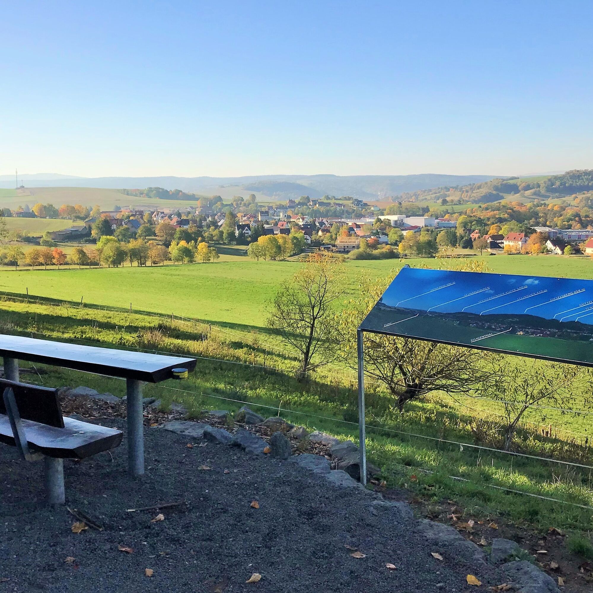
Enjoy the beautiful view at the seating area "At Höhborn" and get to know the surrounding mountains.
Získajte prehľad
Vždy naživo na mieste s viac ako 9 500 webovými kamerami. bergfex Ako používateľ Pro si teraz môžete pozrieť príslušné webové kamery pre mnohé zájazdy v aplikácii zájazdy z. Môžete si tak priamo prezerať aktuálne podmienky.
Obľúbené výlety v okolí
-
4,3
Rund um die Ohratalsperre
svetloTuristika 14,5 km -
4,4
Circular hike "Old Tambach Dam", Tambach-D., Thuringian Forest
strednáTuristika 8,33 km -
4,5
Summit and panoramic route - Route 1 - Bad Tabarz
strednáTuristika 10,9 km -
3,8
Wanderung zum Spitterfall
strednáTuristika 14,6 km -
4,8
Circular hike - Schmalwasser reservoir - Tambach-Dietharz - Thuringian Forest
strednáTuristika 13,8 km -
Tabarzer Vulkansteig
strednáTuristika 9,91 km -
4,0
Circular hiking route "Oberschönauer Felsenwanderung" - Steinbach-Hallenberg - Thuringian Forest
ťažkéTuristika 12,0 km -
4,4
Circular hiking trail - "Trusetal Landmark Route" - Thuringian Forest
svetloTuristika 4,02 km -
4,8
Inselsberg tour - Tour 2 - Bad Tabarz
ťažkéTuristika 15,1 km -
3,2
Von Friedrichroda zum großen Inselsberg
strednáTuristika 22,4 km
Turistika a stopovanie


Nenechajte si ujsť ponuky a inšpiráciu na ďalšiu dovolenku
Vaša e-mailová adresa bol pridaný do poštového zoznamu.





