







Circular hiking route around Pörlitz - Thuringian Forest
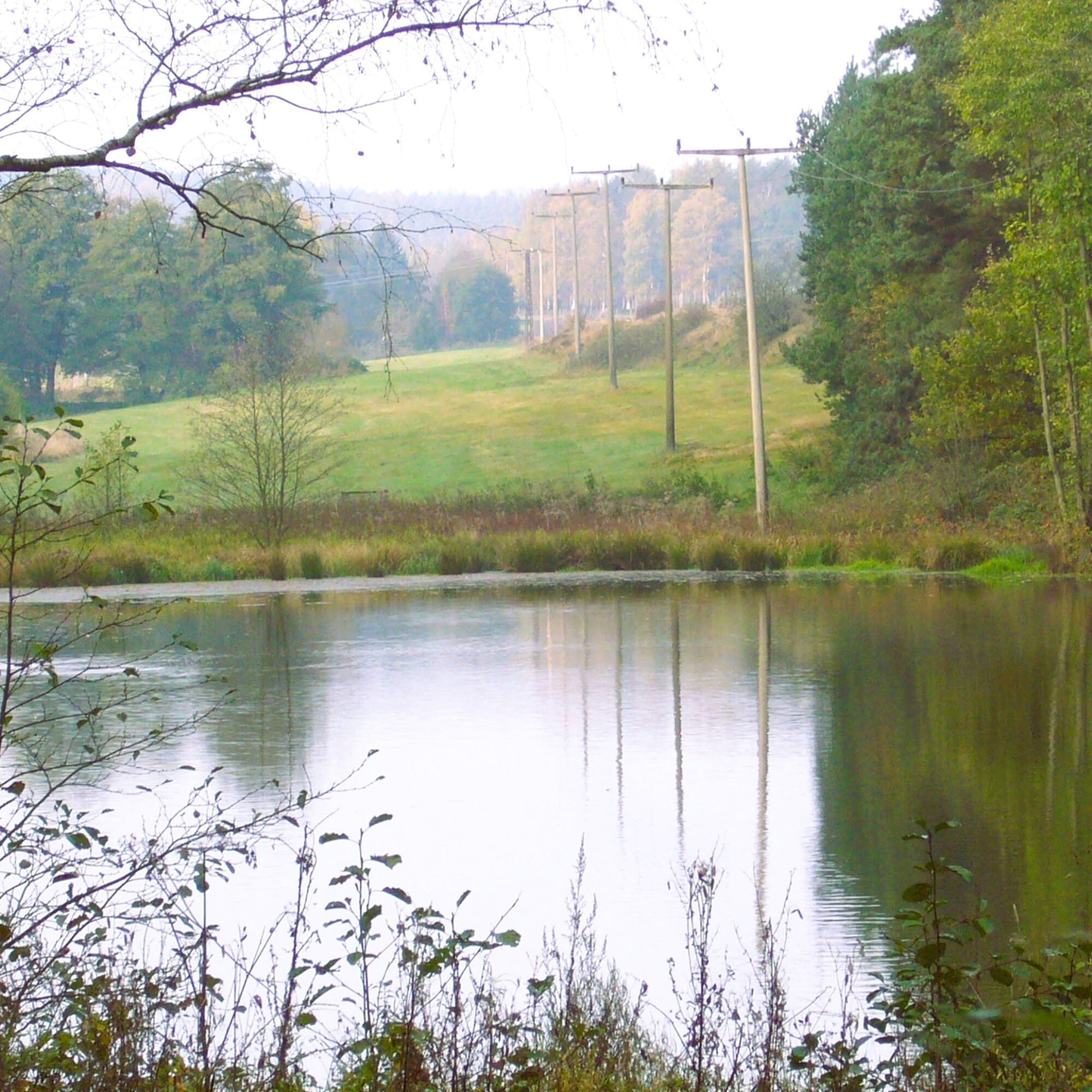
The circular hiking route begins at the village square in Oberpörlitz and leads us to the village exit. From here we have a very beautiful view of the Hirtenbuschteiche. Our path leads us past the ponds,...
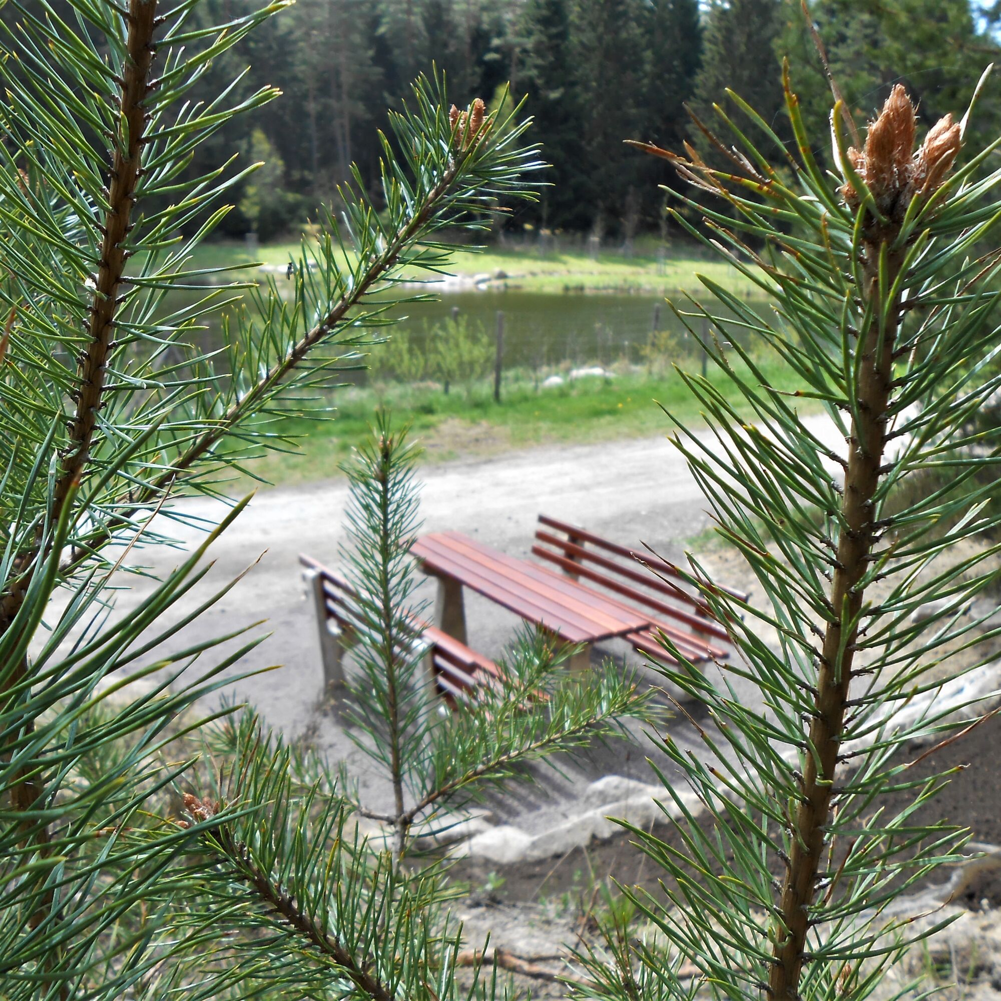
The circular hiking route begins at the village square in Oberpörlitz and leads us to the village exit. From here we have a very beautiful view of the Hirtenbuschteiche. Our path leads us past the ponds, directly onto the sandy path (war memorial). Continuing, we reach the small Devil's Pond, the large Devil's Pond and the old Unterpörlitz forest swimming pool. The last pond we reach is the large reservoir pond. Here a stop for refreshment is recommended. We cross the Heydaer Straße Caution: road traffic! and continue our circular route past further ponds. These are the Gerber Pond and the Altwipfrateich. From Altwipfergrund we head back towards Unterpörlitz via Brunnenstraße to Lindenplatz.
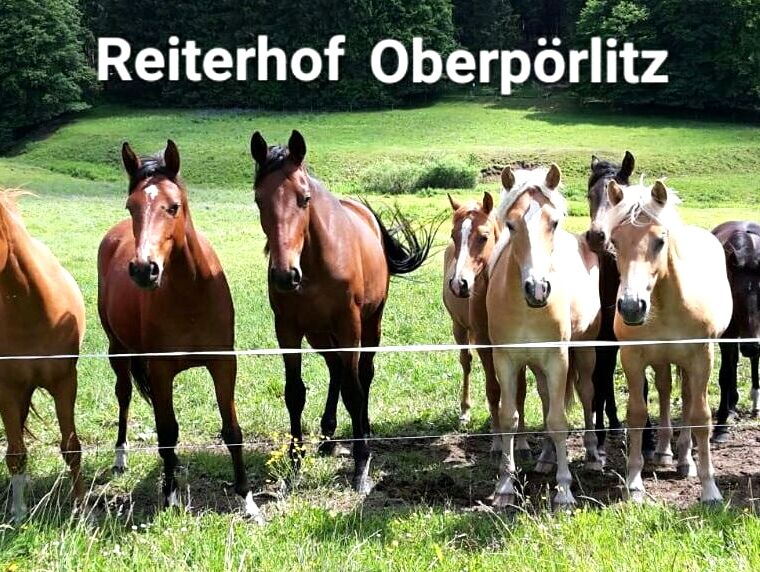
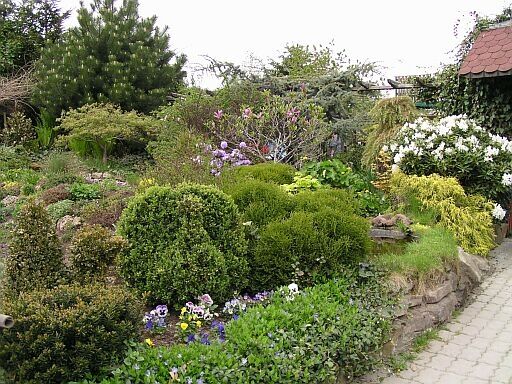
From Unterpörlitz we now head back towards Oberpörlitz (Ahornallee, Oberpörlitzer Straße). At the village entrance is the Reiterhof Oberpörlitz and the Vogler Garden and Small Animal Park. Our circular hiking route now ends at the village square Oberpörlitz.

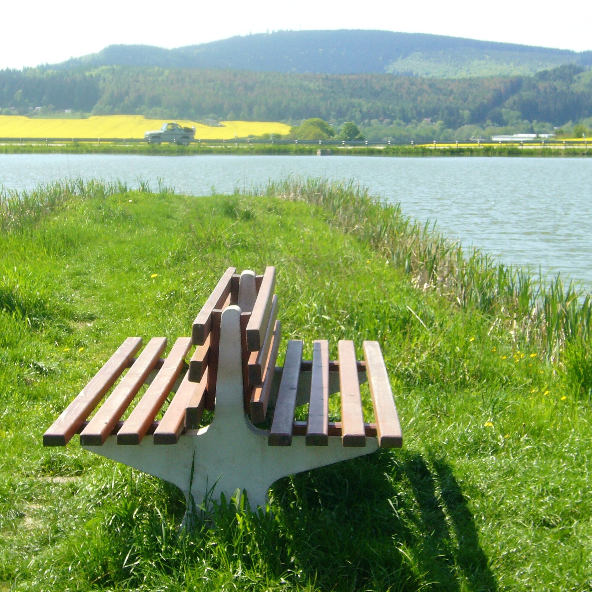
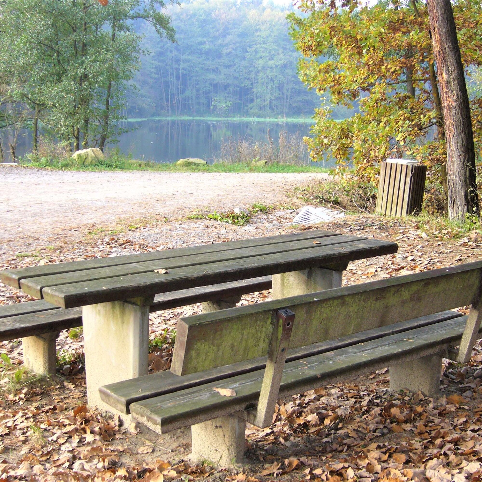
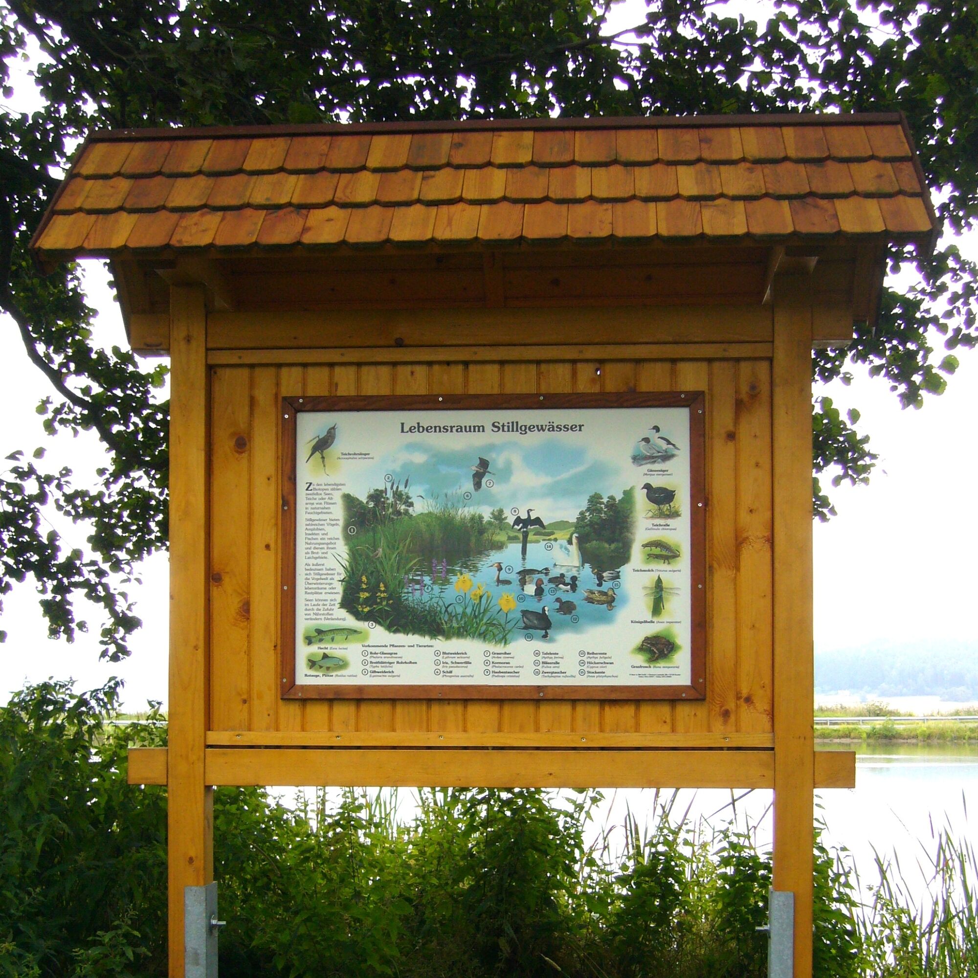
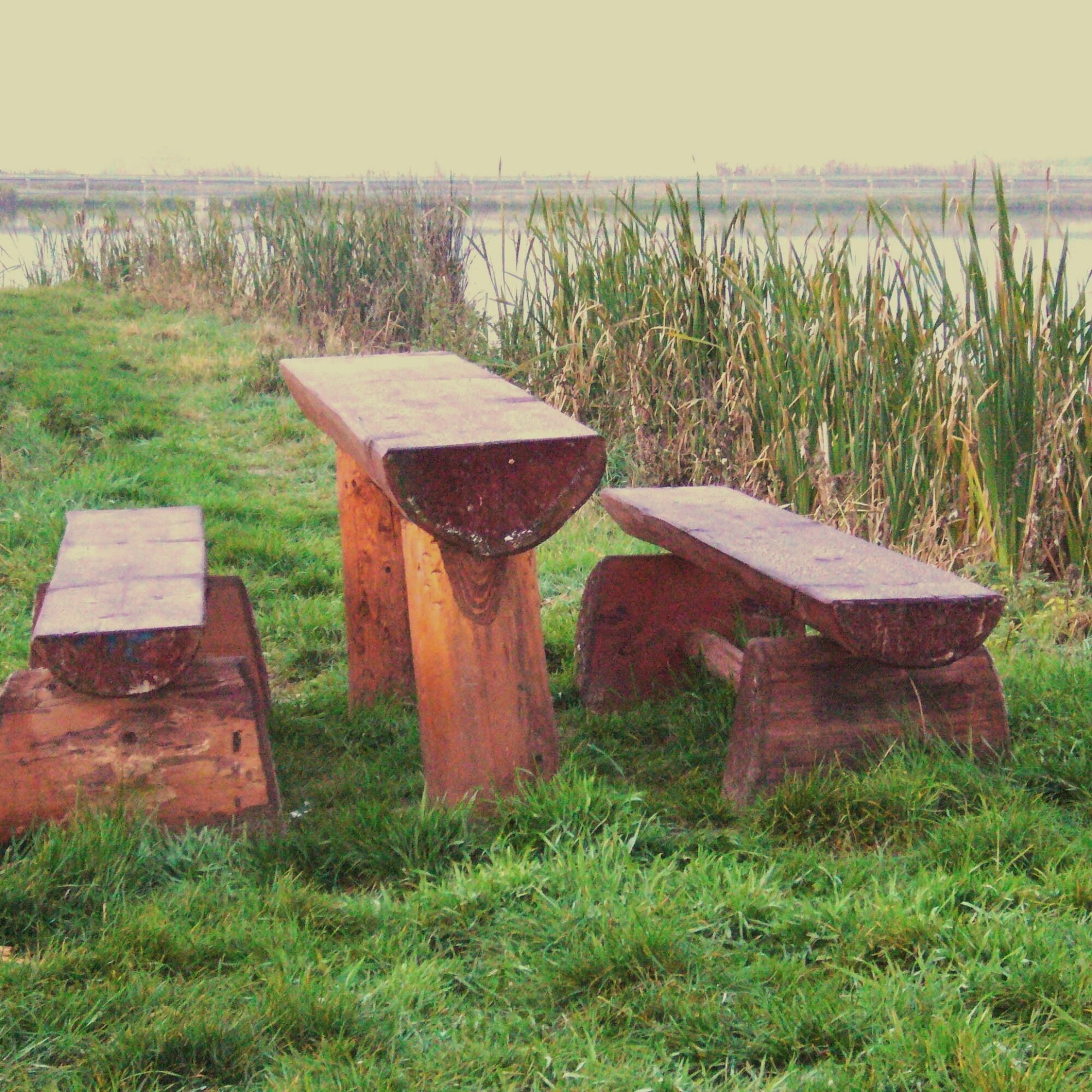
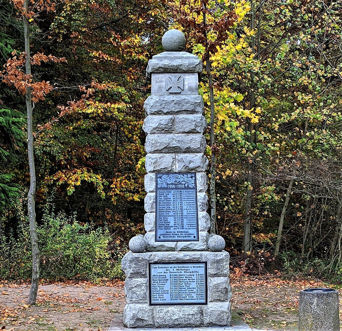



Village square Oberpörlitz - Hirtenbusch Ponds - sandy path - small Devil's Pond - large Devil's Pond - old swimming pool - large reservoir pond - under the motorway - Gerber Pond - Altwipfergrund - Brunnenweg - Lindenplatz - Ahornallee - Reiterhof - Vogler Garden and Small Animal Park - village square Oberpörlitz
Áno
Sturdy footwear
First aid kit
Rainwear
Navigation device/smartphone/map
Drinks
Since numerous ponds lie along the circular route, special care should be taken with small children in these areas.
The Heydaer Straße must be crossed at the reservoir pond under the motorway bridge.
Caution: road traffic!
Reiterhof Oberpörlitz
Vogler Garden and Small Animal Park Oberpörlitz
Area with attractive garden sections as well as species-appropriate housing of many exotic and domestic animals.
Webové kamery z prehliadky
Získajte prehľad
Vždy naživo na mieste s viac ako 9 500 webovými kamerami. bergfex Ako používateľ Pro si teraz môžete pozrieť príslušné webové kamery pre mnohé zájazdy v aplikácii zájazdy z. Môžete si tak priamo prezerať aktuálne podmienky.
Obľúbené výlety v okolí
-
4,4
Circular route - Around the Heyda Dam - Thuringian Forest
strednáTuristika 7,59 km -
3,0
Circular hike - "4 ponds hike" Neustadt am Rennsteig - Thuringian Forest
ťažkéTuristika 12,6 km -
4,6
Hike over the Rennsteig & the Schneekopf to the Schmücke
ťažkéTuristika 21,0 km -
The Rennsteig - long-distance hiking trail from Hörschel to Blankenstein - Thuringian Forest
ťažkédiaľková pešia trasa 169,0 km -
4,5
Circular hike to Bärenstein & Pfanntalsteich
strednáTuristika 9,10 km -
„Auf den Spuren starker Frauen" - Pilgern in Thüringen
strednáPútnická trasa 54 km -
4,0
TOP 5 - circular hiking route - "Forsthaus Sattelbach" - Oberhof
svetloTuristika 3,67 km -
4,5
Hiking - Rennsteig - Stage 4 - From Grenzadler to Allzunah
ťažkéTuristika 20,2 km -
Around the Kickelhahn - Ilmenau - Nature Park Trail - Thuringian Forest
strednáTuristika 10,7 km -
„Von Bach zu Goethe"
strednáTuristika 32 km

Turistika a stopovanie


Nenechajte si ujsť ponuky a inšpiráciu na ďalšiu dovolenku
Vaša e-mailová adresa bol pridaný do poštového zoznamu.





