



Hiking trail - Langer Berg with Karl Günther Monument - Gehren - Thuringian Forest


Our hiking trail starts in the town center of Gehren at the ruins of Gehren Castle. Parking is also possible here. The path leads over the Schlossallee, the street "Zum Schlosspark," and Langebergstraße...
Our hiking trail starts in the town center of Gehren at the ruins of Gehren Castle. Parking is also possible here. The path leads over the Schlossallee, the street "Zum Schlosspark," and Langebergstraße to the small Karl - Günther Monument (parking is also possible here). On fine gravel paths, it first goes over the "Gehren Circular Trail" to the Dogs' Grave. A hiking hut invites you to rest.
Continuing on the "Wurzelkurt Path," we reach the Karl - Günther House, and then the former hunting lodge (briefly used as a poacher's museum).
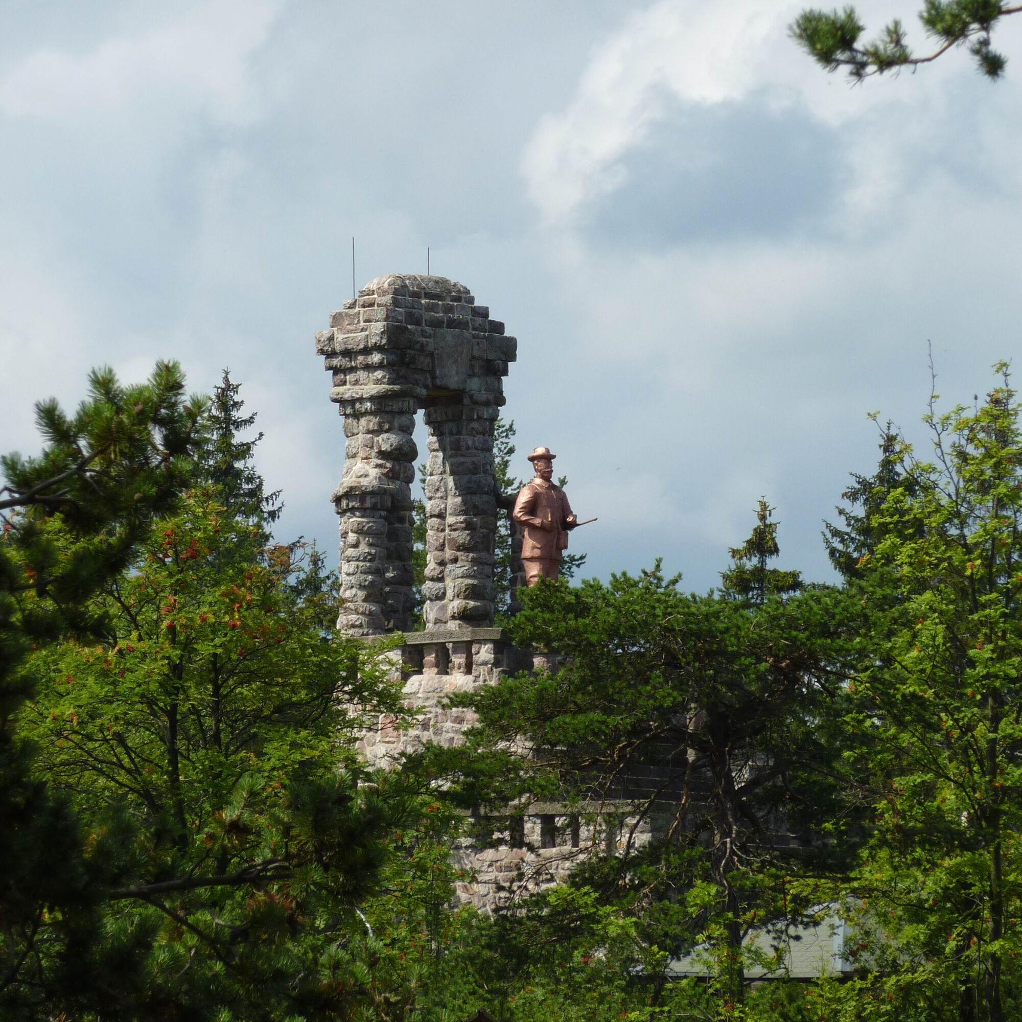
Now we have reached our destination, the Langeberg Monument Prince Karl - Günther with hiking hut.
The hiker is rewarded with a wonderful view over the land.

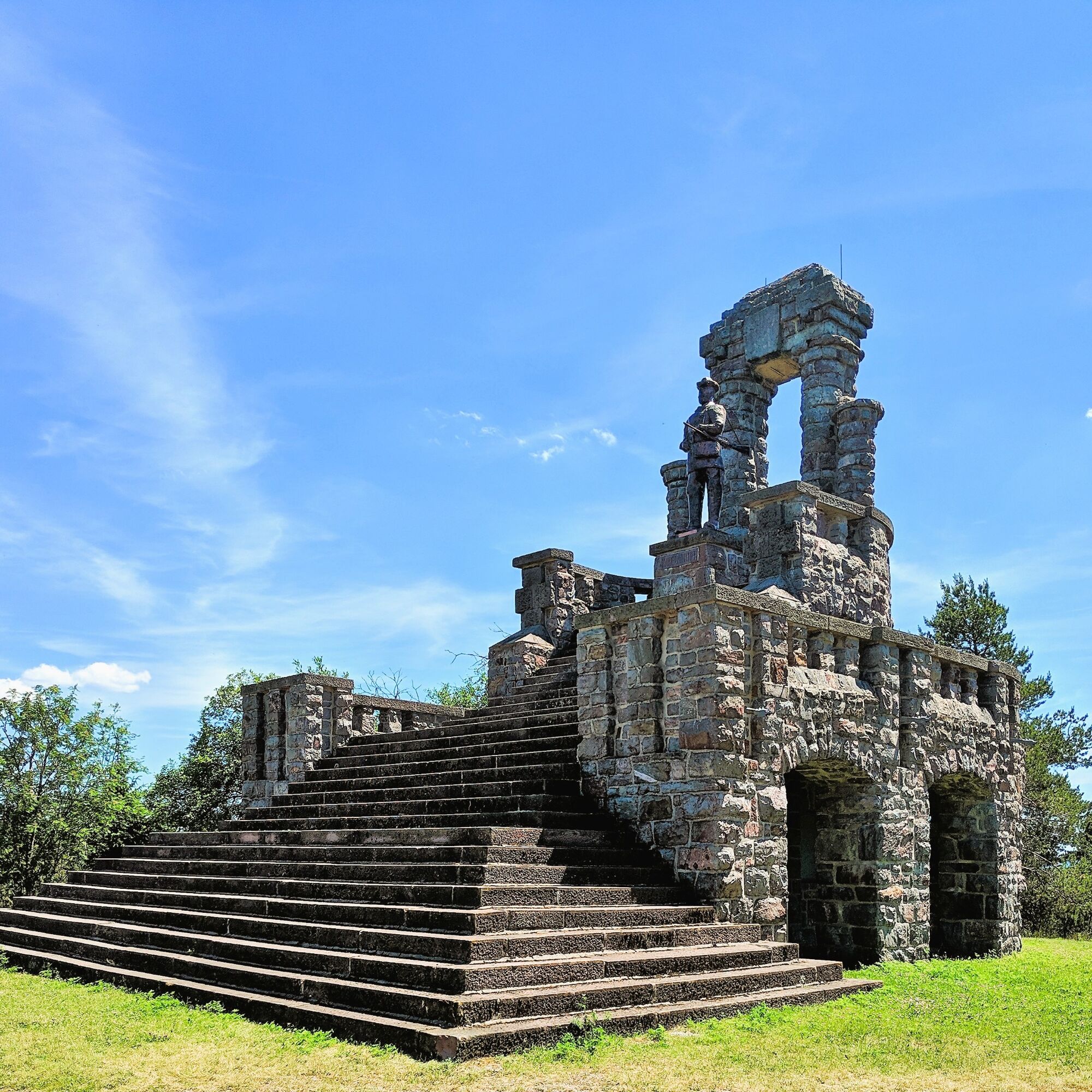
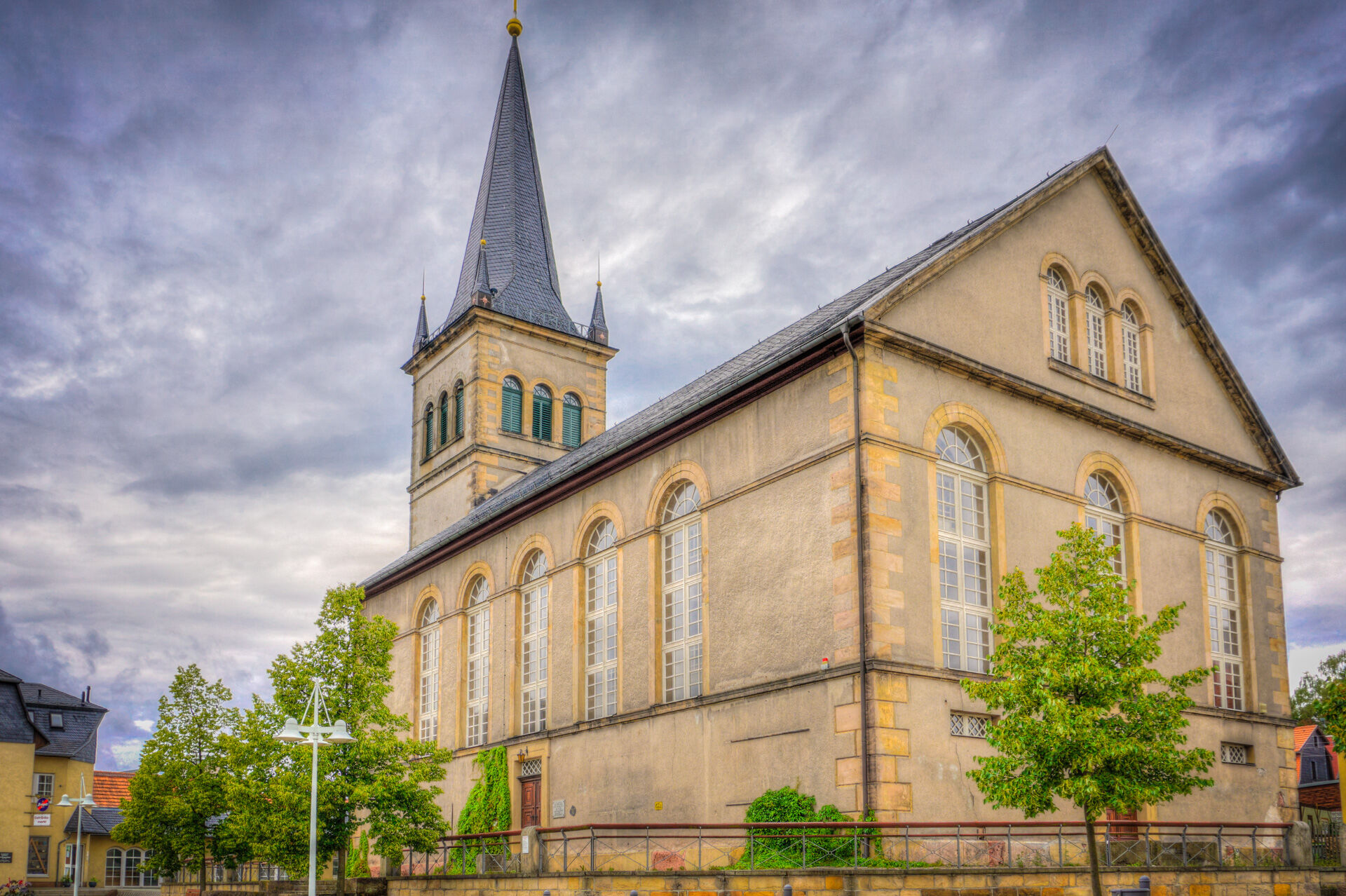
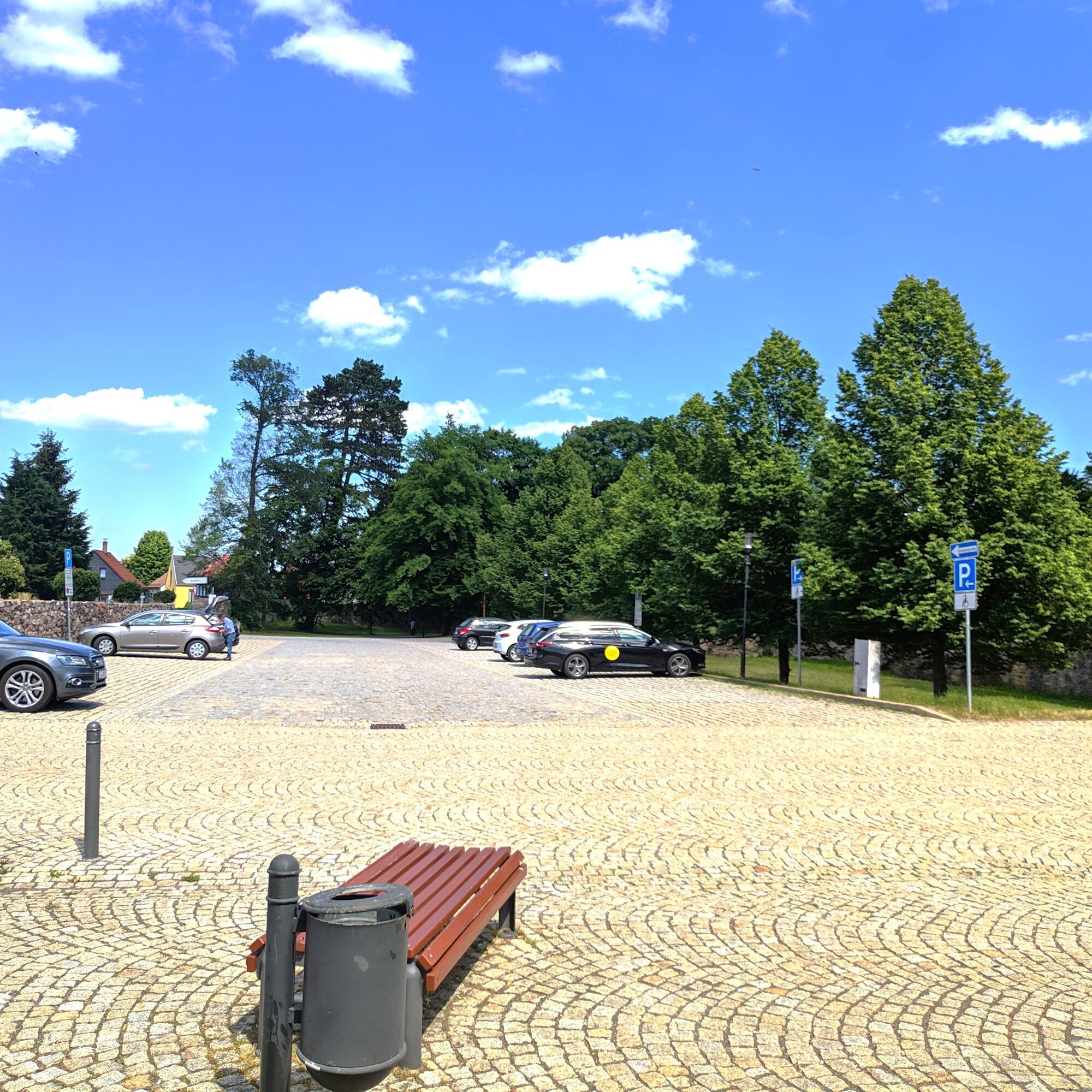
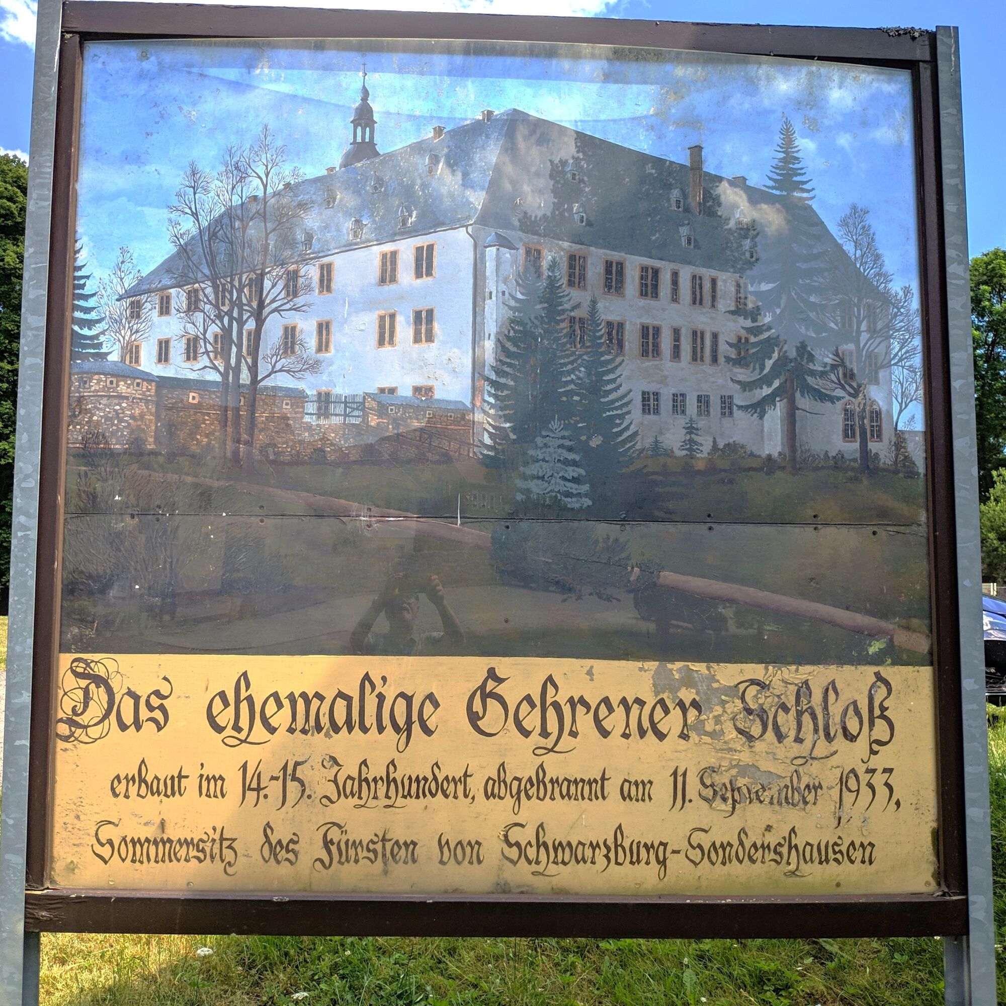
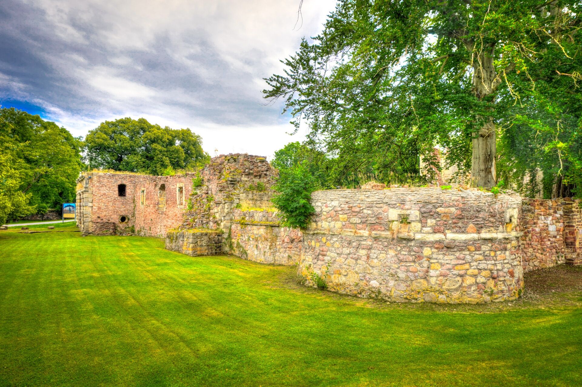
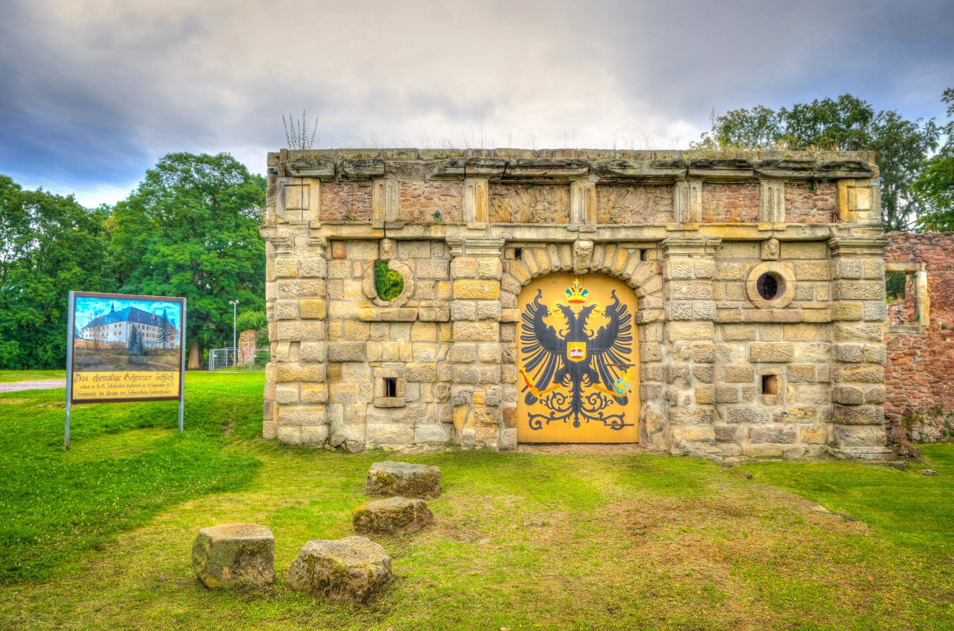
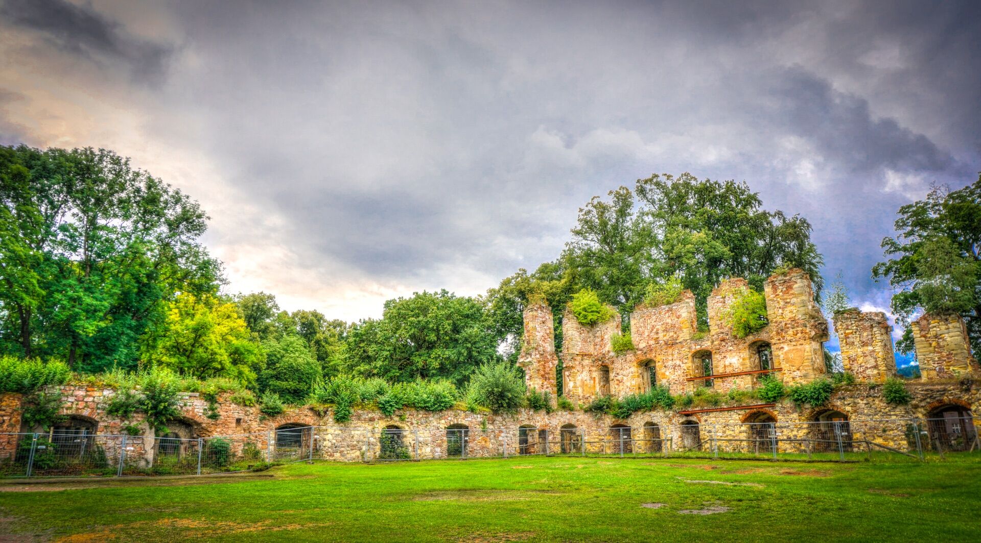
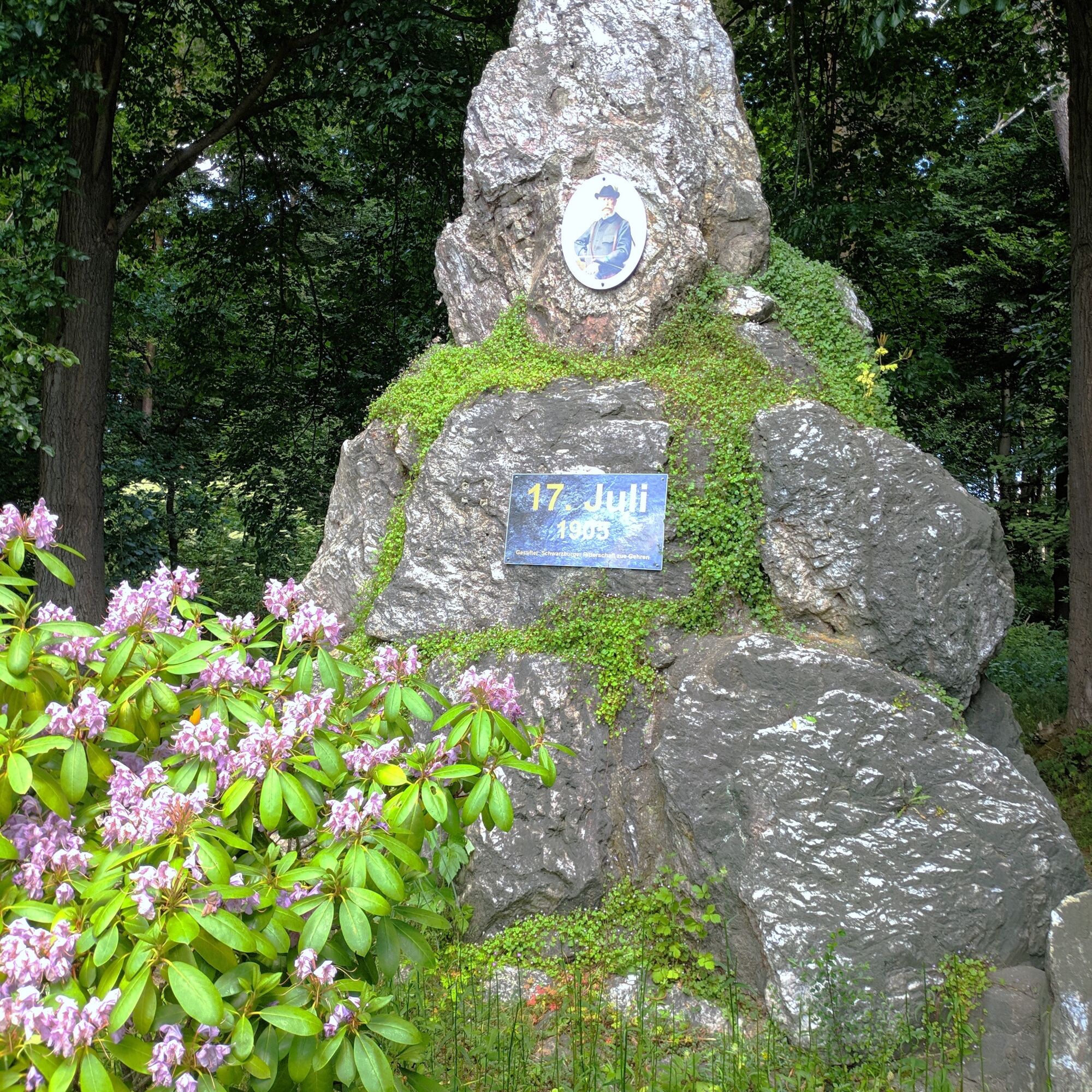
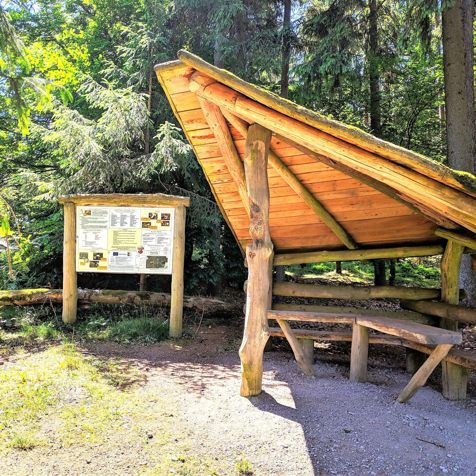
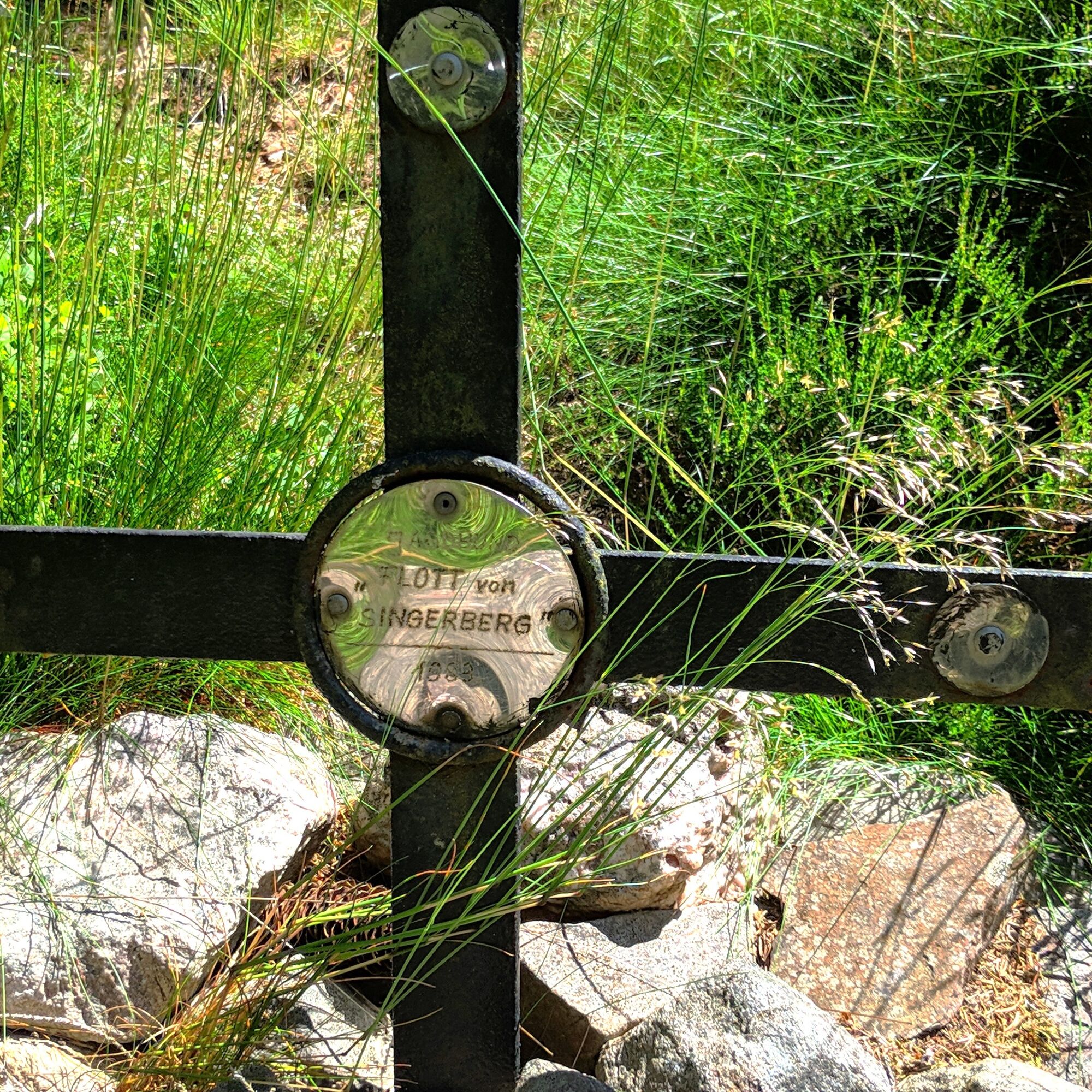
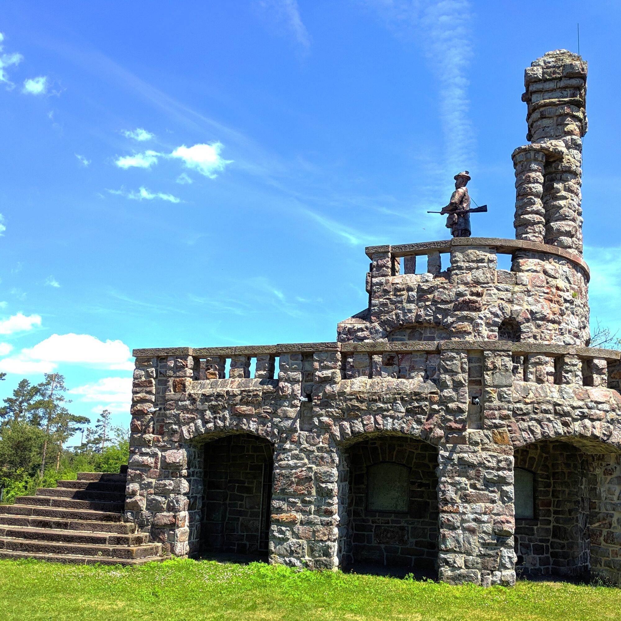

Parking lot in front of the former Gehren Castle - Schlossallee - street "Zum Schlosspark" - Langebergstraße - Small Monument (Prince Karl-Günther) - on the Gehren Circular Trail - Wurzelkurt Path - Dogs' Grave (hiking hut with plaque) - Prince Karl-Günther House - former hunting lodge - Langerberg Monument Karl-Günther (hiking hut with plaque)
Áno
Áno
Sturdy footwear
Rainwear
First aid kit
GPS device/smartphone
Drinks
possibly trekking poles
In the starting area of the hiking trail up to the small monument, pay attention to road traffic!
Coming from the A71 take exit 15 (Ilmenau-East) and continue on the B88 south towards Langewiesen / Gehren
You can reach Gehren by bus 303/4 from the direction of Ilmenau.
For travel planning, simply use the Deutsche Bahn travel portal at the following link:
Use the parking options directly at the castle park (Google NAV point)
Limited parking available at the small monument.
Obľúbené výlety v okolí
-
4,3
Circular route - Around the Heyda Dam - Thuringian Forest
strednáTuristika 7,59 km -
5,0
Naturlehrpfad Gießübler Schweiz
strednáTuristika 7,99 km -
3,0
Circular hike - "4 ponds hike" Neustadt am Rennsteig - Thuringian Forest
ťažkéTuristika 12,6 km -
3,8
Rundweg Talsperre
strednáCyklistika 14,5 km -
The Rennsteig - long-distance hiking trail from Hörschel to Blankenstein - Thuringian Forest
ťažkédiaľková pešia trasa 169,0 km -
4,5
Circular route - “To the Strudel pots of the Schwarza” - Starting point at the Chrysopras weir - Bad Blankenburg
strednáTuristika 9,01 km -
Circular hiking trail - "Sculpture Trail" - Hiking start Unterweißbach - Thuringian Forest
strednáTuristika 24,4 km -
Around the Kickelhahn - Ilmenau - Nature Park Trail - Thuringian Forest
strednáTuristika 10,7 km -
5,0
Circular hike - To the Schönbrunn Dam - Frauenwald
strednáTuristika 15,1 km -
3,0
Circular route - Panorama route Stützerbach - Terrain course TK 4
strednáTuristika 10,4 km
Turistika a stopovanie


Nenechajte si ujsť ponuky a inšpiráciu na ďalšiu dovolenku
Vaša e-mailová adresa bol pridaný do poštového zoznamu.


