







Hiking - Rennsteig - Stage 7 - From Spechtsbrunn to Brennersgrün
Úroveň náročnosti: T1
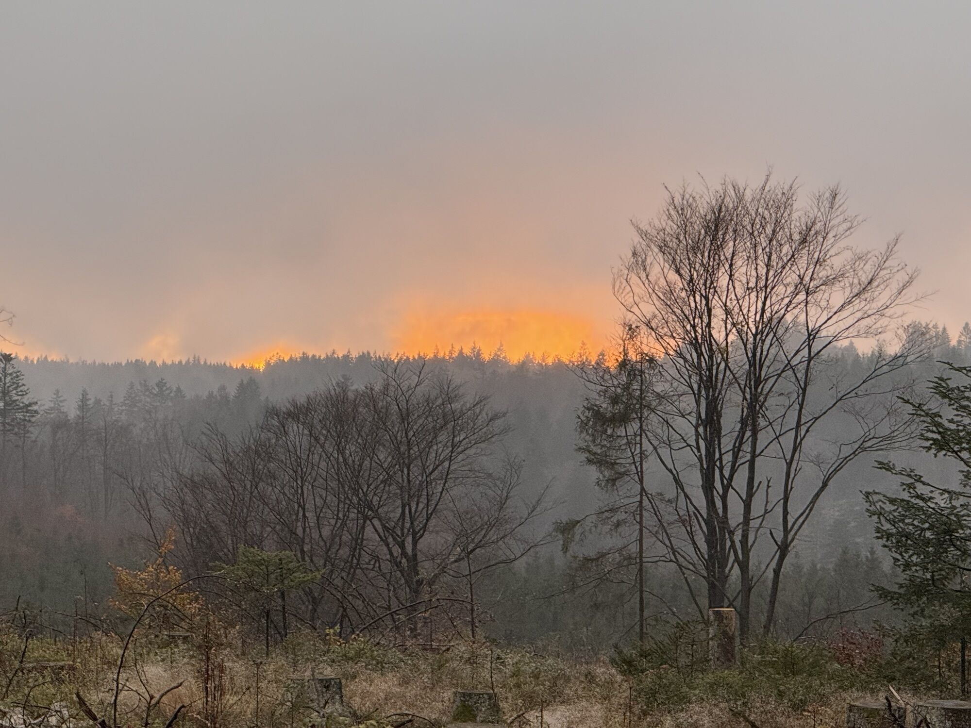
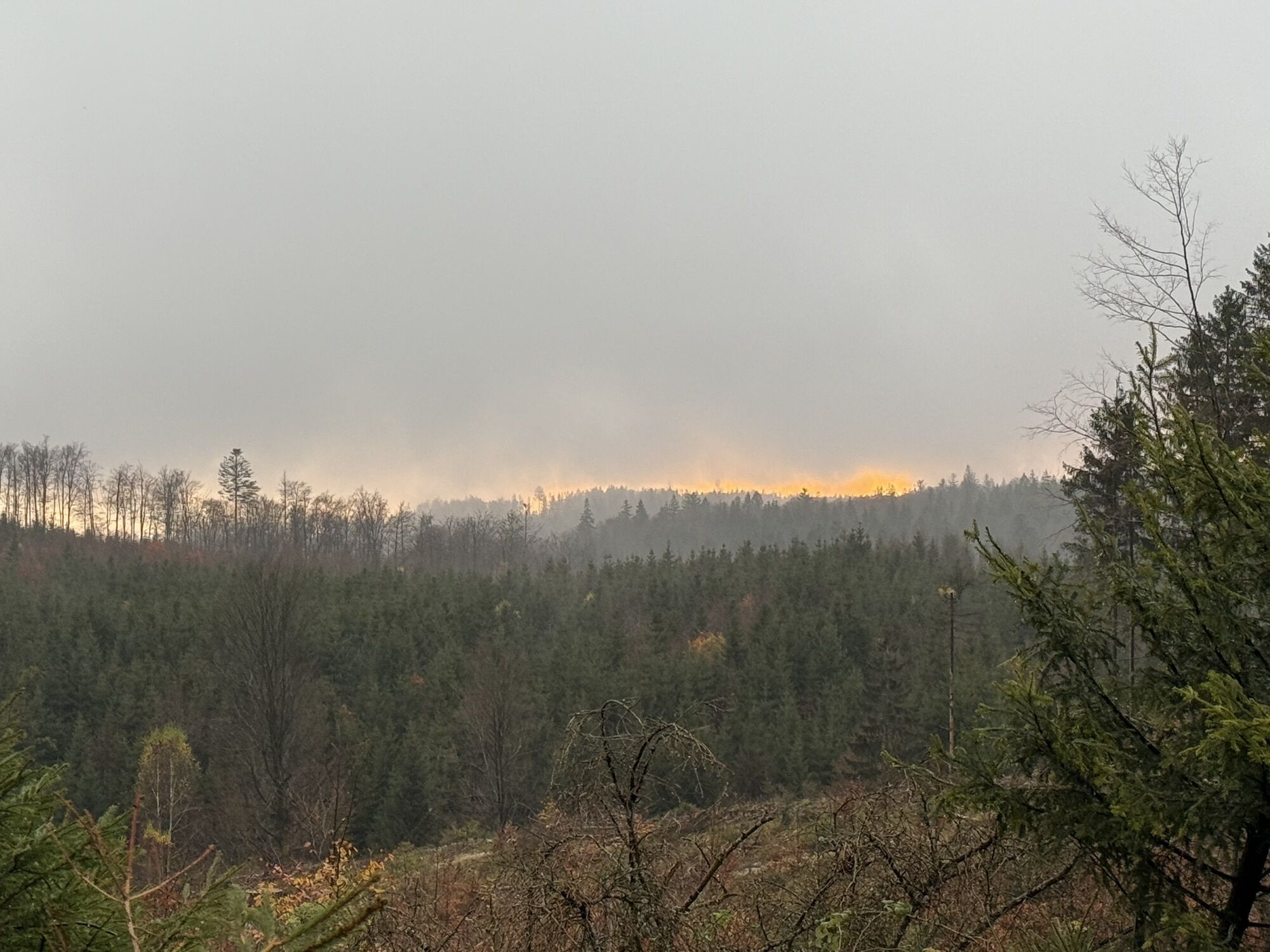
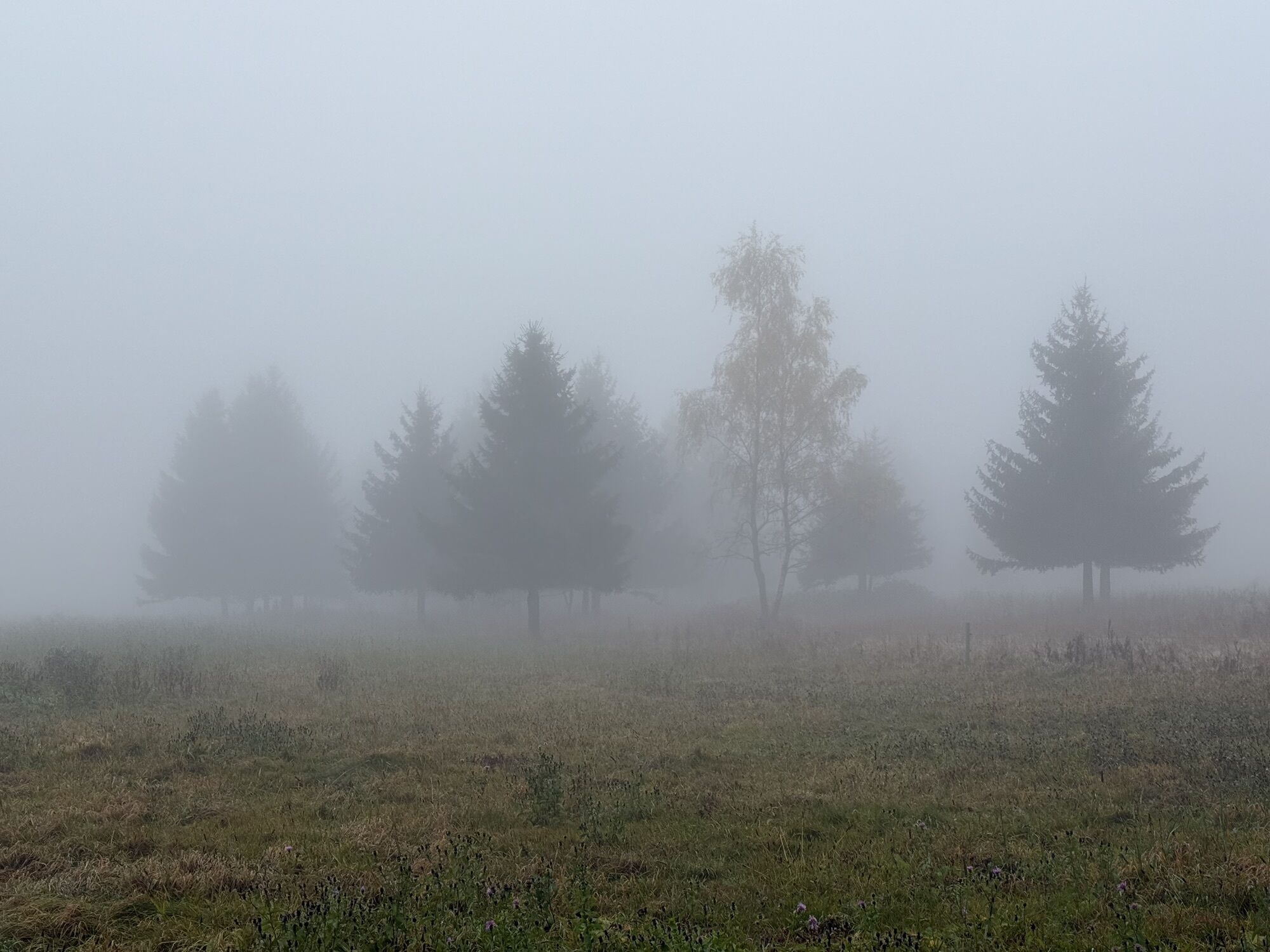
You start this stage in Spechtsbrunn and follow the Rennsteig through the forest to Kalte Küche. At this former border point of a major trade route to Nuremberg is now the nature park information and a...
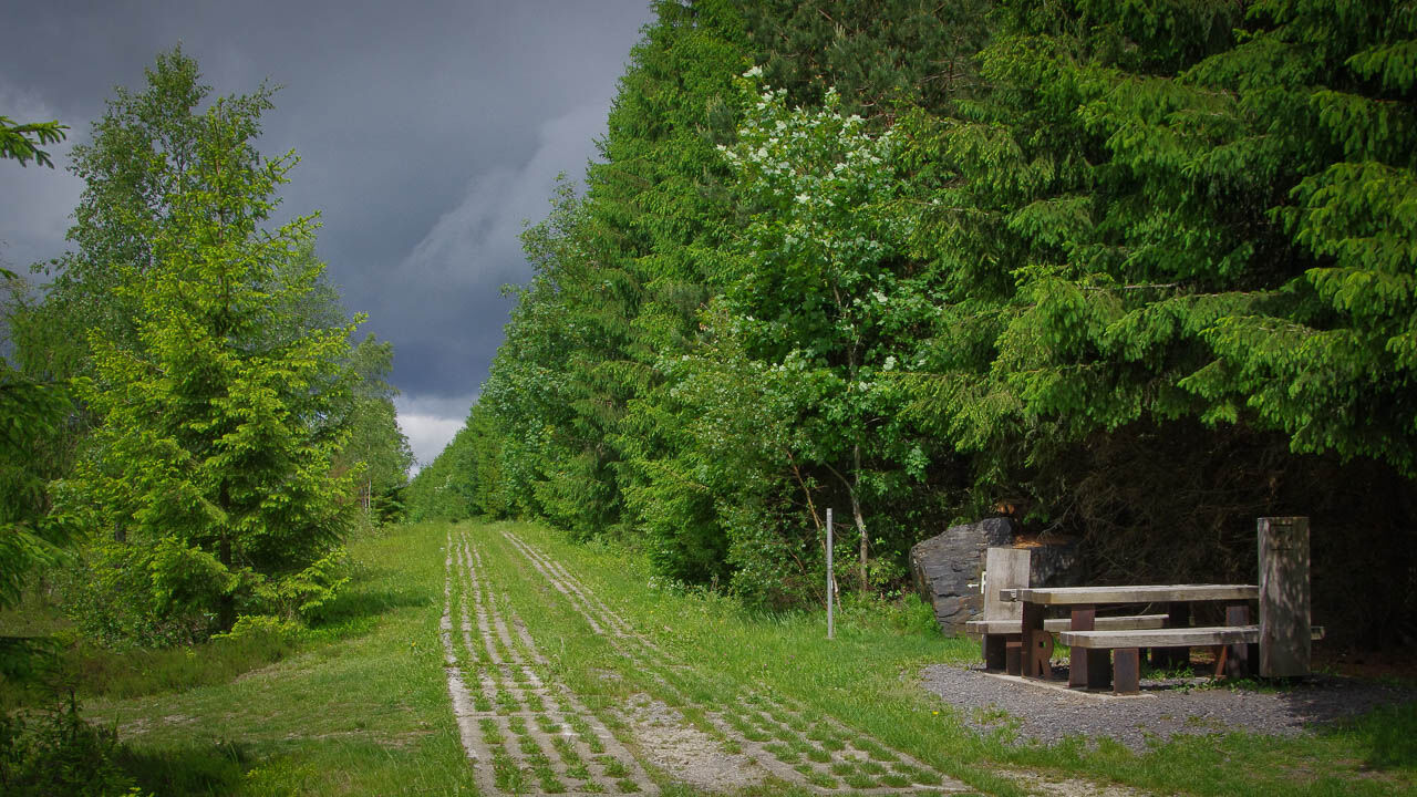
You start this stage in Spechtsbrunn and follow the Rennsteig through the forest to Kalte Küche. At this former border point of a major trade route to Nuremberg is now the nature park information and a small snack bar. Then continue straight on through the dense forest and over mountain meadows to the Frankenwald Hut, ideal for a first break. Then the original course of the Rennsteig steadily descends the road to Steinbach am Wald. The approximately 6 km long road section can also be hiked on a detour close to nature.
Right at the entrance to the village stands the futuristic glass obelisk, which is especially visible in the evening hours due to its artistic lighting.
About halfway, the Hotel and Restaurant "Rennsteig" invites you for a midday snack on weekends. Passing the Rennsteigpark, the well-known high-altitude hiking trail continues the road further until behind the roundabout at the old brickworks and then turns right back into the dense forests. In the last kilometers to the dreamy Brennersgrün, the Rennsteig follows the Loquitz spring past the former inner-German border.


Spechtsbrunn - Kalte Küche Nature Park Info - Schleifenwiese - Frankenwald Hut - Steinbach am Wald - Green Belt - Brennersgrün
Sturdy footwear, rainwear, first aid kit, GPS device
A large part of the route runs along busy roads. Watch out for passing cars and trucks.
You can reach Spechtsbrunn by bus line 706 from the direction of Sonneberg (rail connection). Use the German Rail travel information.
Brennersgrün is connected by bus line 610 (KomBus GmbH) towards Wurzbach (nearest station). However, the service times are not convenient for hikers. We recommend extending the stage at the end to Lehesten. There, the bus runs until the evening to the next station.
Unfortunately, there is no direct connection back to Spechtsbrunn.
T1
This stage is especially distinctive for its simplicity. Along the route, you will find peace and a path to yourself.
Získajte prehľad
Vždy naživo na mieste s viac ako 9 500 webovými kamerami. bergfex Ako používateľ Pro si teraz môžete pozrieť príslušné webové kamery pre mnohé zájazdy v aplikácii zájazdy z. Môžete si tak priamo prezerať aktuálne podmienky.


Obľúbené výlety v okolí
-
5,0
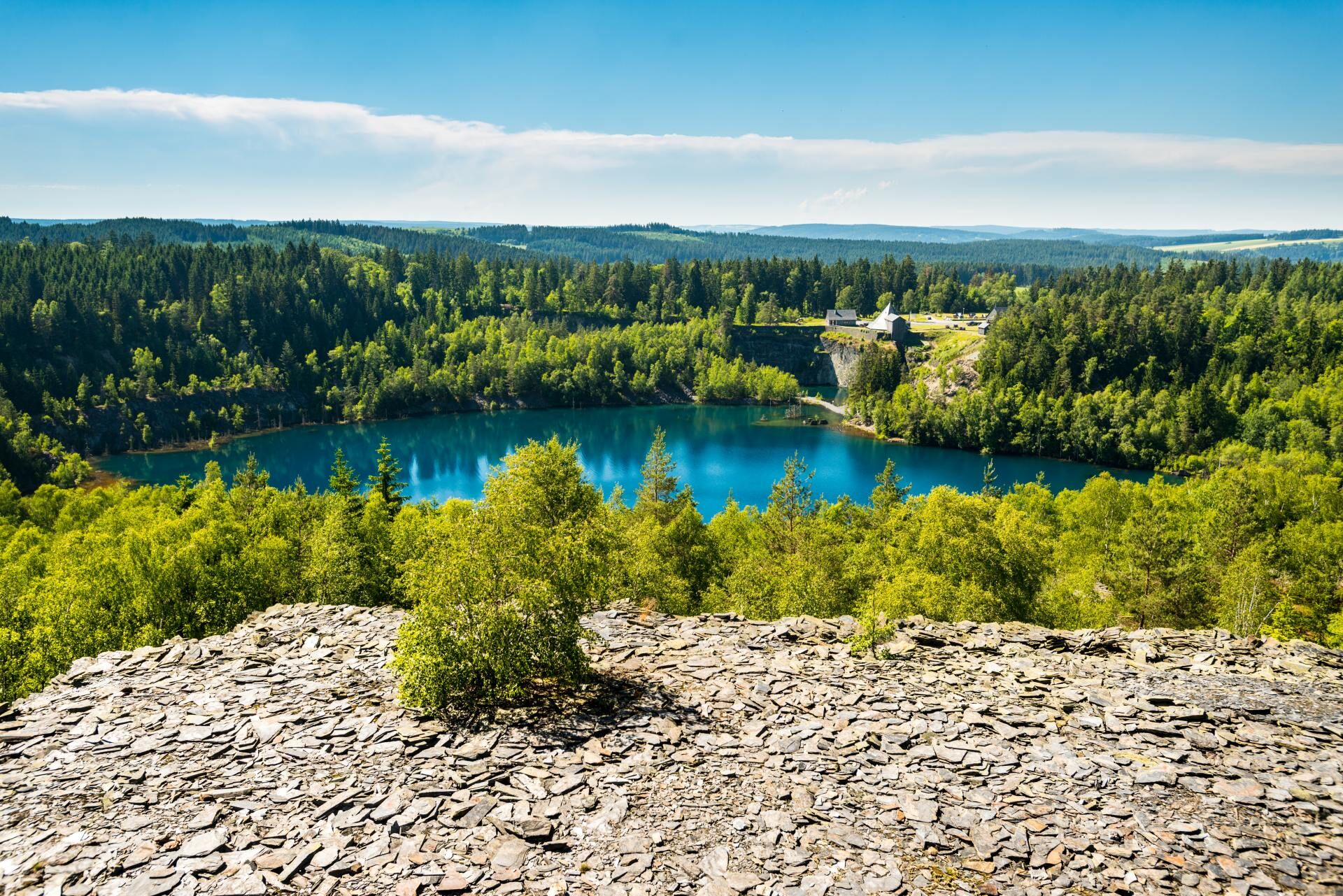
Circular route around the "Slate Lake" - Lehesten - Thuringian Forest
svetloTuristika 2,99 km -
5,0
Um die Ködeltalsperre
svetloTuristika 12,2 km -
5,0
Urwaldpfad Leutenberg - Thuringian Urwaldpfade
strednáTuristika 6,82 km -
Children's path in Leutenberg "On the trail of the fire salamander"
svetloTuristika 5,37 km -
Rennsteig stage run - 5th stage Spechtsbrunn - Blankenstein
ťažkéTrailrunning 40,2 km -
Circular hiking trail - Slate Trail on the "Green Belt" - Probstzella - Thuringian Forest
ťažkéTuristika 56,6 km -
5,0
Von Rodacherbrunn zum Titschendorfer Floßteich
svetloTuristika 6,29 km -
Circular hike - Glass and porcelain tradition on the Rennsteig - Spechtsbrunn
strednáTuristika 13,4 km -
Children's path - "Humboldt Discovery Trail" - Wurzbach - Thuringian Forest
strednáTuristika 13,2 km -
GeoTrail - SlateKINGDOM - Sonneberg district
strednáTematická trasa 22,7 km

Turistika a stopovanie


Nenechajte si ujsť ponuky a inšpiráciu na ďalšiu dovolenku
Vaša e-mailová adresa bol pridaný do poštového zoznamu.





