



Circular hike - "Dreiherrnsteinrunde" - Bad Liebenstein - Thuringian Forest

Úroveň náročnosti: T2


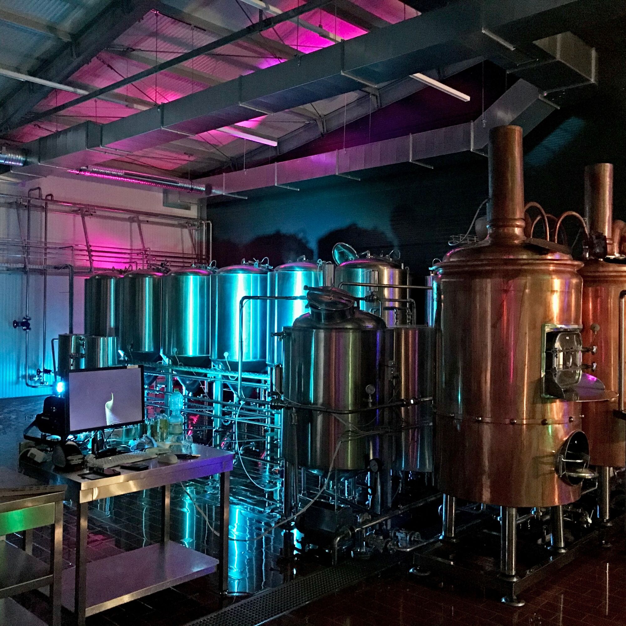
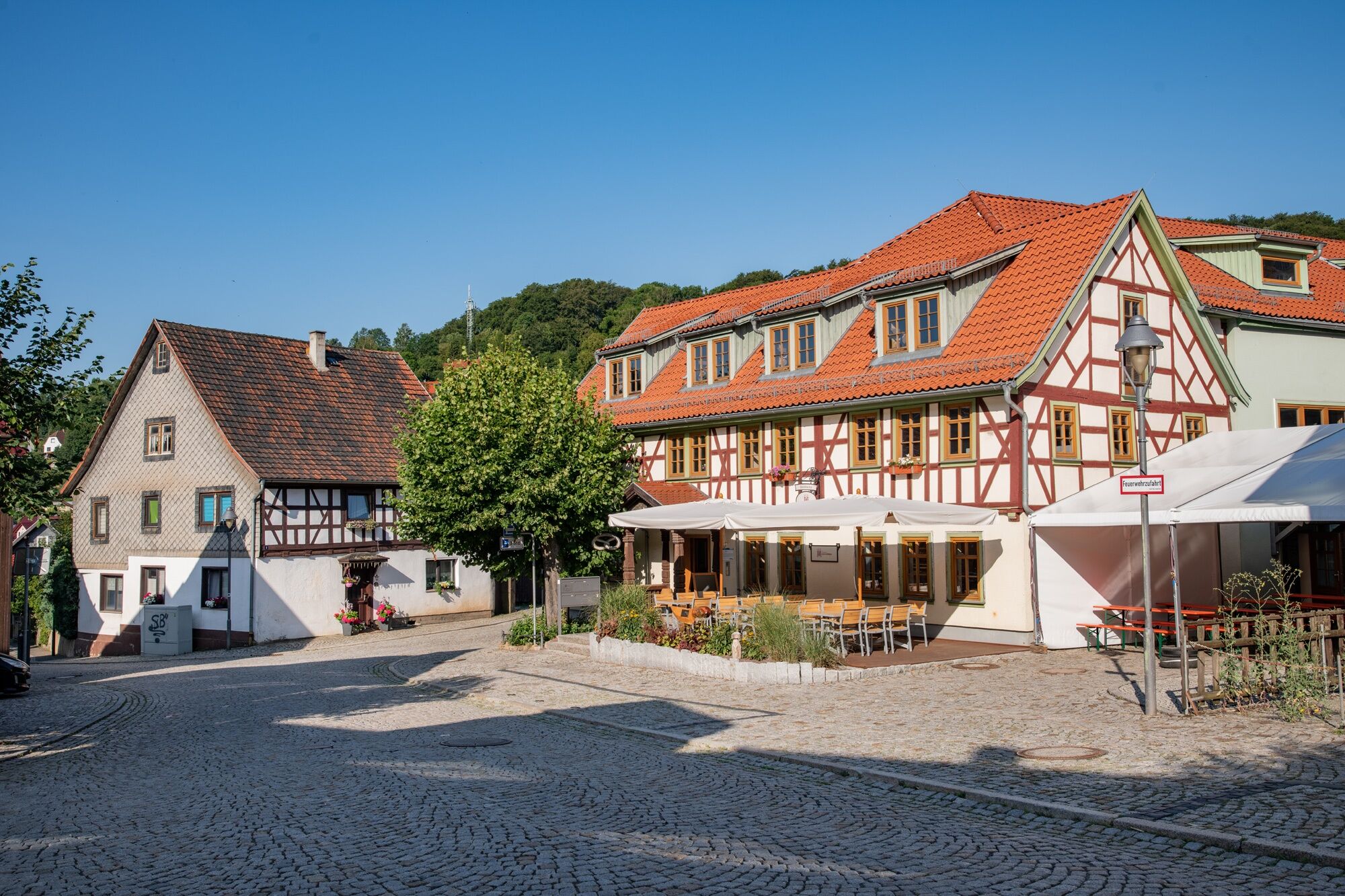
After starting at the Tourist Information, follow through Elisabethpark and along Frühlingsweg to Steinbach. Passing the Steinbacher Waterwheel, Stupps Brewery and Messerstübchen at the market, you cross...
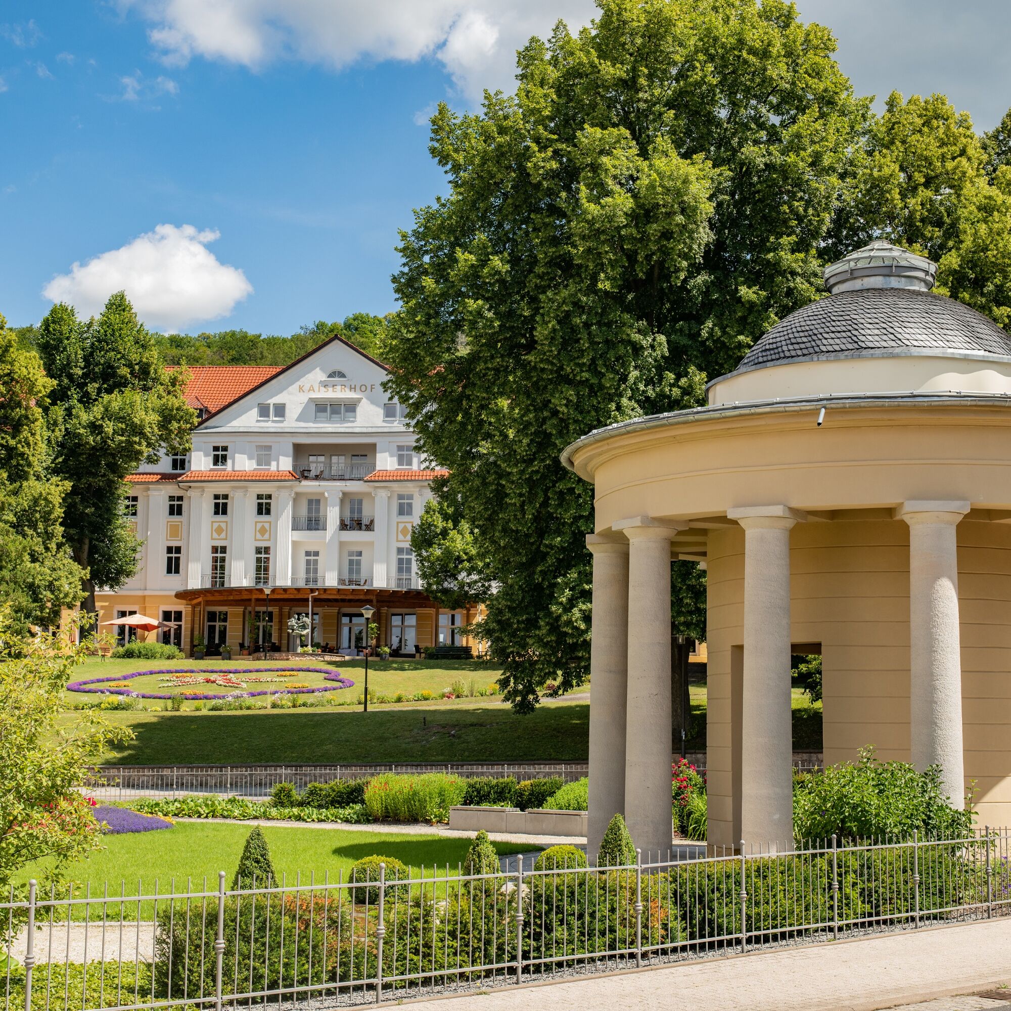
After starting at the Tourist Information, follow through Elisabethpark and along Frühlingsweg to Steinbach. Passing the Steinbacher Waterwheel, Stupps Brewery and Messerstübchen at the market, you cross through the mountain village. The original Steinbach knives are still made in the Messerhaus. On the Luther knife, you find Luther’s 95 Theses. At Schleifkotengrund, you learn more about the life and work of the knife grinders. In good weather, we recommend this path along the Steinbach. After the Steinbach spring, the path crosses the road and leads up over the Rennsteig to Dreiherrnstein, the highest point of the hike. Along Breitunger Rennweg, it goes over the Lower Beerberg and Rennwegskopf past the Kleefleck intersection towards Hohe Klinge. Here, the view opens across the Werra valley into the Rhön. Through the Dorngehege, continue over Katzenstein to Donkey’s Leap and Hofmühlchen. Descend Inselbergstraße to the Historic Spa District. Herzog-Georg-Straße leads you back to the start.

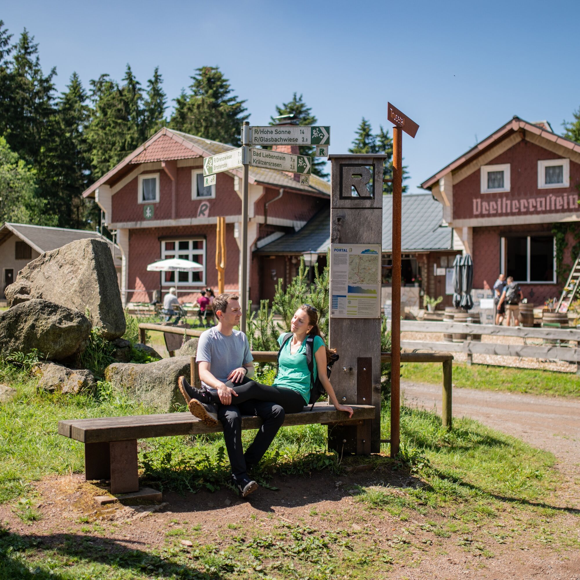
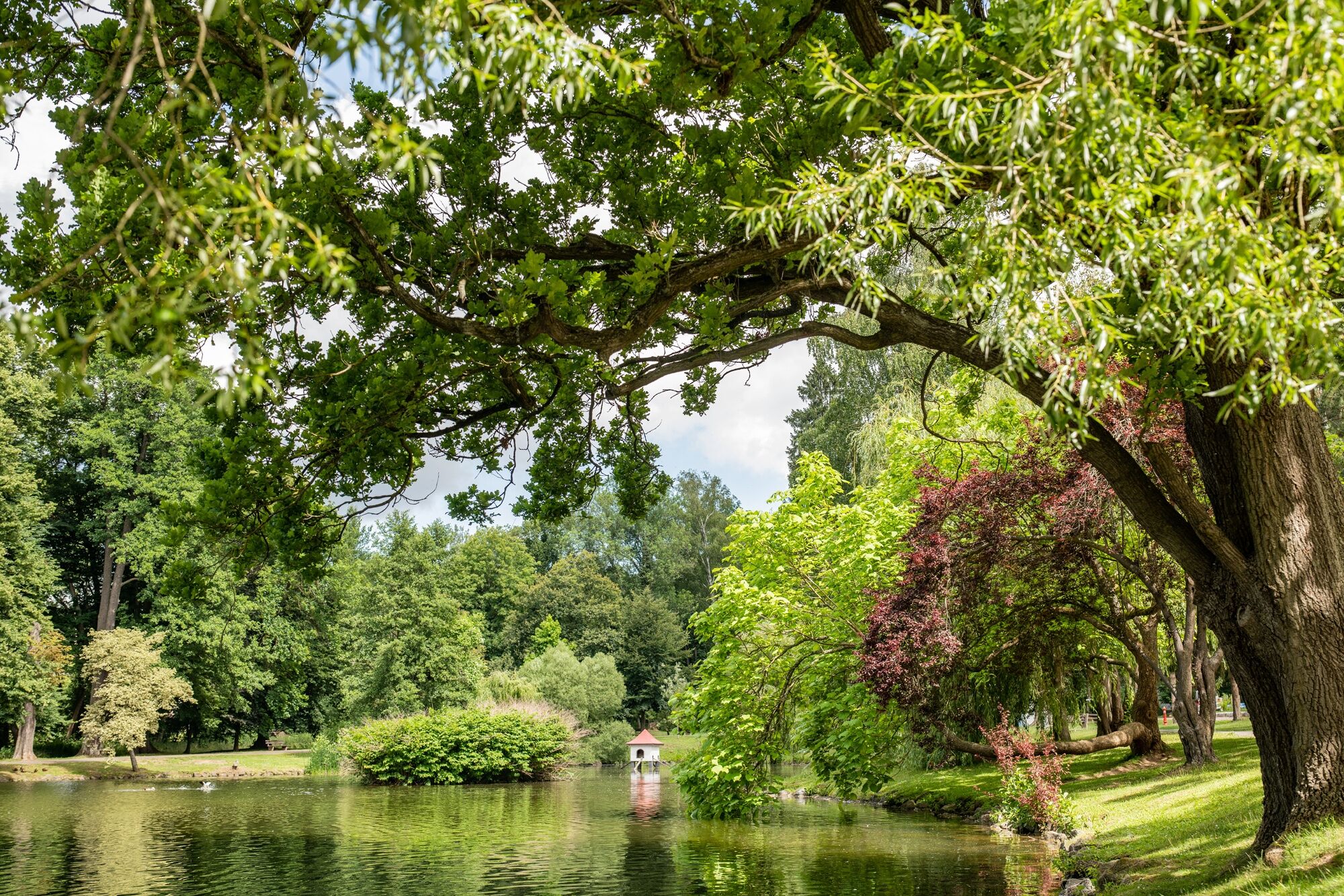
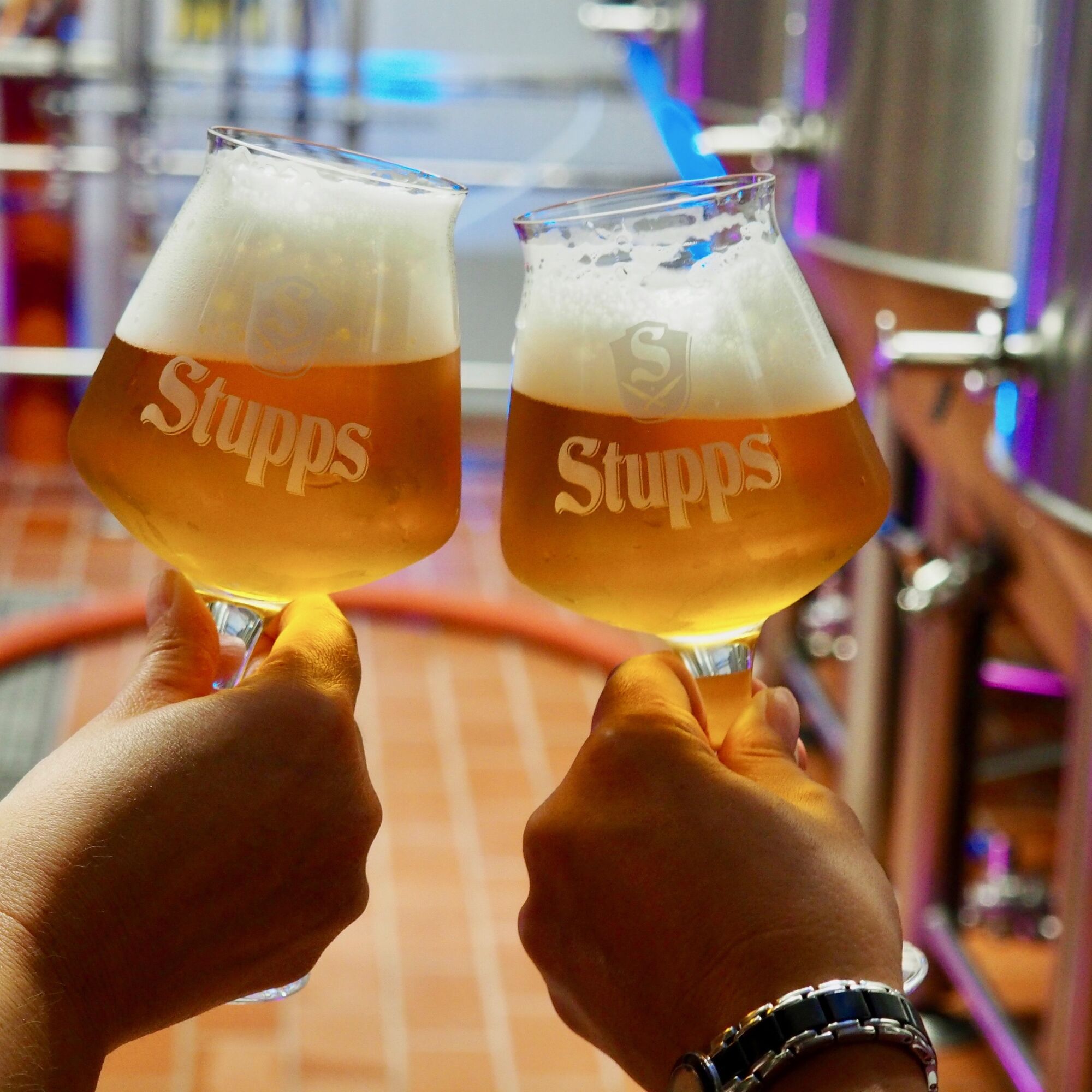



Tourist Information – Parkstraße – Elisabethpark – Auenweg – Frühlingsweg – Steinbacher Waterwheel – Stupps Brewery – Turning Area – Alte Bahnhofstraße – Messerstübchen – Schleiferstraße – Messerhaus – Schleifkotengrund – Old Schleifkote – Hühne – Steinbach Spring – Steinbacher Hut – Hirschbalzwiese – Rennsteig – Dreiherrnstein – Breitunger Rennweg – Lower Beerberg – Rennwegskopf – Kleefleck – Hohe Klinge – Dorngehege – Postweg – Katzenstein – Donkey’s Leap – Bairoda/Knüppelshäuschen – Hofmühlchen – Inselbergstraße – Herzog-Georg-Straße – Historic Spa District – Herzog-Georg-Straße – Tourist Information
Áno
Sturdy footwear
Rain gear
First aid kit
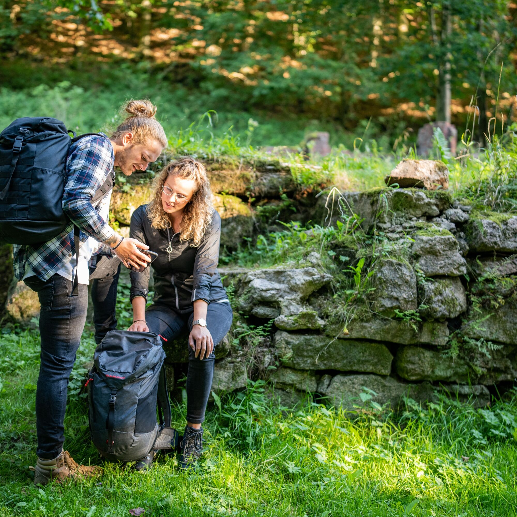
GPS navigation device or smartphone
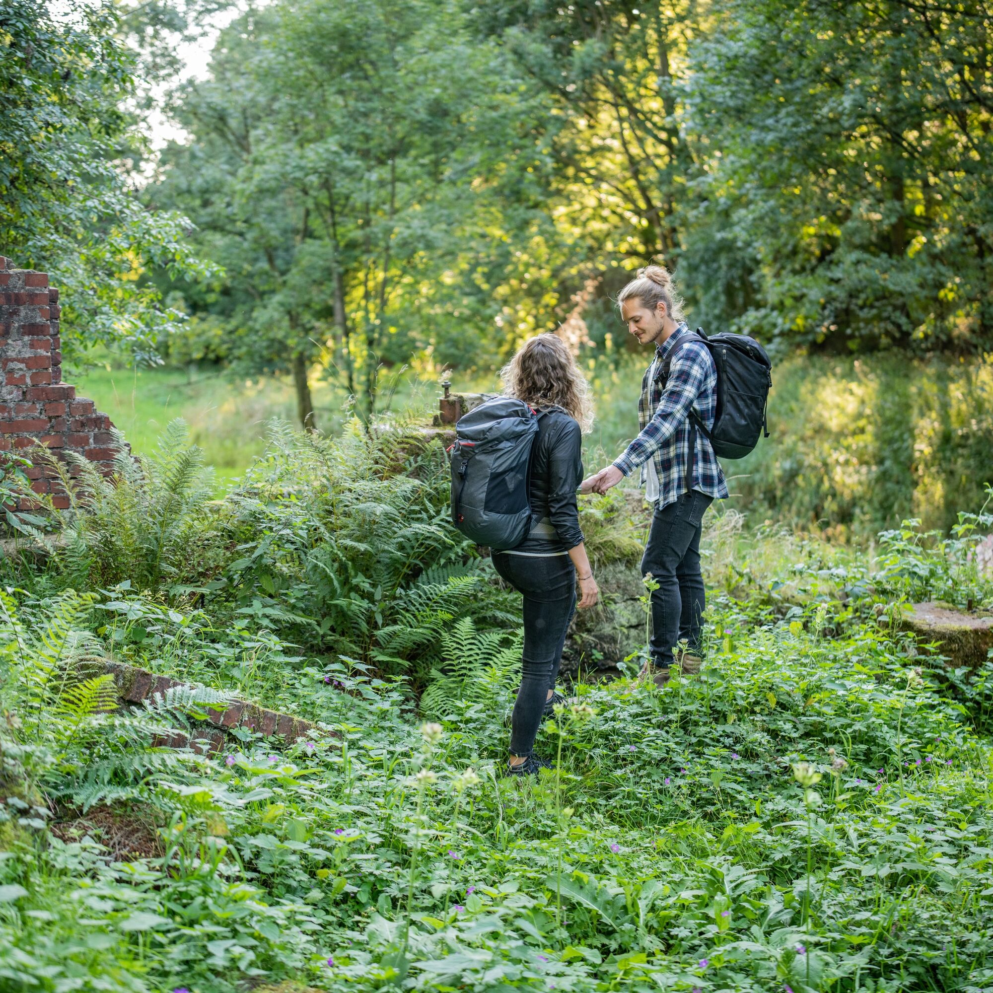
Be aware of the typical dangers of the forest! Walking is at your own risk! Avoid stepping on moss-covered stones and rocks due to slipping hazards and watch out for deadwood, branches, and fallen trees.
From northern and northwestern Germany: Take the A4 towards Eisenach/Erfurt, then exit at Friedewald/Bad Salzungen and follow the B62 and signs to Bad Liebenstein.
From eastern and southeastern Germany: Take the A4 towards Erfurt/Eisenach, then exit at Waltershausen and follow the signs to Bad Liebenstein.
From southern and southwestern Germany: Take the motorway to Würzburg, then continue on the new A71 towards Erfurt, then exit at Meiningen-Nord/Bad Salzungen and follow the B19 and signs to Bad Liebenstein.
You can reach Bad Liebenstein by German Rail. The nearest ICE station is in Eisenach, about 30 kilometers away. A regional station is in Bad Salzungen, about 11 kilometers away. From both towns, bus line 190 goes directly to Bad Liebenstein.
The nearest parking lot is located in the Esplanade (Google NAV point). More information about parking in Bad Liebenstein can be found here.
T2
From Hohe Klinge, follow the nature trail and enjoy the pristine nature up to Katzenstein.


Obľúbené výlety v okolí
-
5,0
EA1 - Circular route - Gorge tour near Eisenach - Thuringian Forest
strednáTuristika 9,68 km -
4,6
Summit and panoramic route - Route 1 - Bad Tabarz
strednáTuristika 10,9 km -
5,0
Wartburg und Drachenschlucht
strednáTuristika 15,1 km -
4,7
IVV PW + GTW "In Luther's footsteps - Luther, dragons, landgraves, rose miracle..."
strednáTuristika 15,8 km -
3,8
Wanderung zum Spitterfall
strednáTuristika 14,6 km -
4,8
Hike - "Rennsteig-Leiter Eisenach" Thuringian Forest
strednáTuristika 3,58 km -
5,0
Circular route 3 - Mariental/Drachenschlucht/Elfengrotte
strednáTuristika 3,54 km -
Tabarzer Vulkansteig
strednáTuristika 9,91 km -
4,5
Circular hike - Legendary Hörselberge - Great Hörselberg near Eisenach - Thuringian Forest
strednáTuristika 10,6 km -
4,4
Circular hiking trail - "Trusetal Landmark Route" - Thuringian Forest
svetloTuristika 4,02 km
Turistika a stopovanie


Nenechajte si ujsť ponuky a inšpiráciu na ďalšiu dovolenku
Vaša e-mailová adresa bol pridaný do poštového zoznamu.


