







On the Rennsteig to Blankenstein - hike - Bad Lobenstein
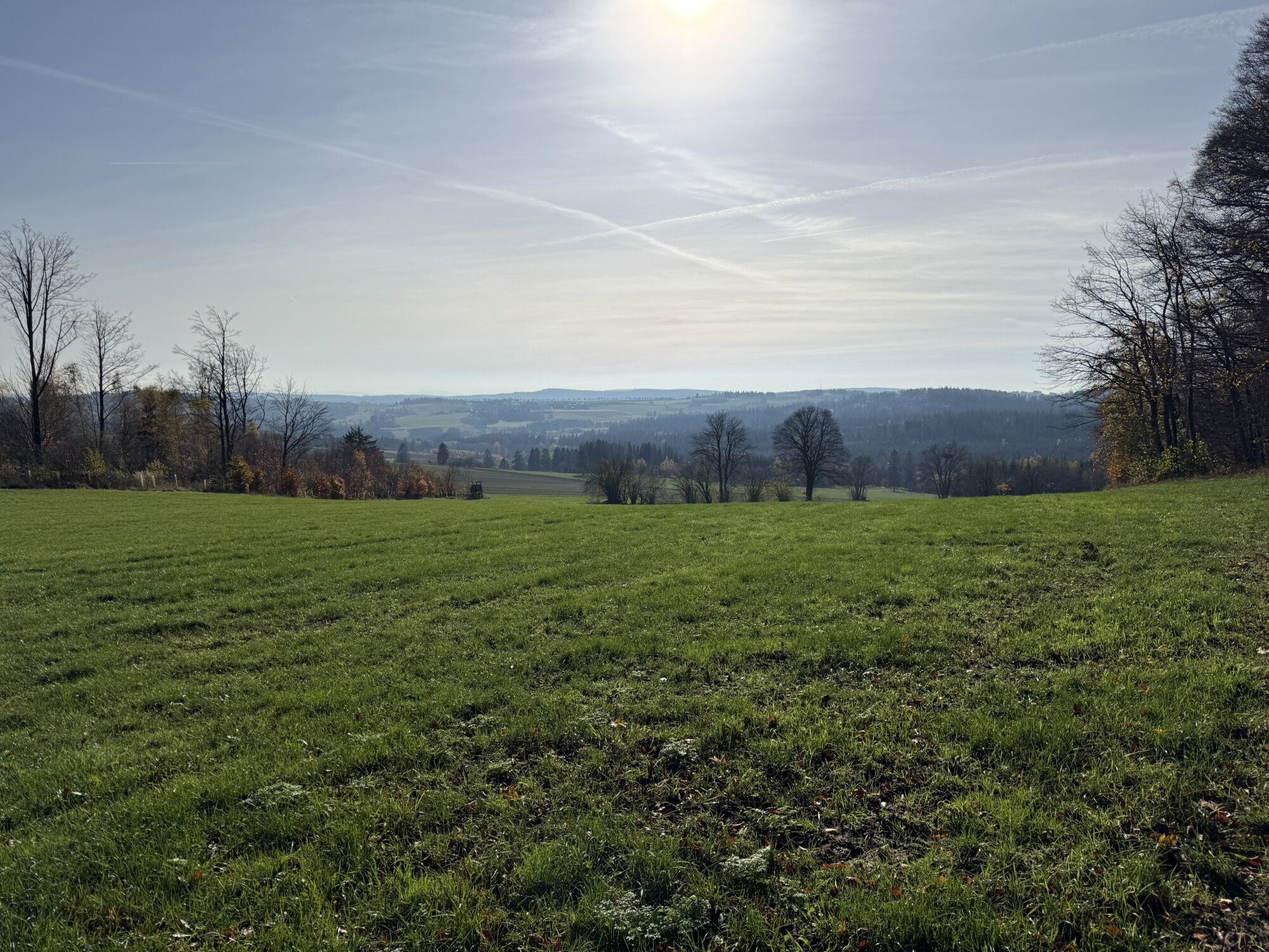
The Rennsteig is both cult and myth. With this hike, you experience a small section of this famous hiking trail. From Ardesia-Therme (town portal) follow the information board for the signage to the Rennsteig...
The Rennsteig is both cult and myth. With this hike, you experience a small section of this famous hiking trail. From Ardesia-Therme (town portal) follow the information board for the signage to the Rennsteig out of the city. Take some time on your way to visit the cultural historic buildings, the spa park, the remains of the old city wall, and the marketplace in the spa town. Near the Median Clinic, hike on the Rabi Trail, passing the idyllic Rabisteich pond, ascending to the main road. Turn left there and continue following the Rennsteig signage, via Schlegel and Kießling, towards Blankenstein. You can conveniently return to Bad Lobenstein several times daily by train.



Marking: yellow R – green R
Bad Lobenstein Ardesia-Therme - signage “To the Rennsteig” (yellow R) towards Median Clinic - Rabi Trail - hiking car park (white R) - Schlegel - Kießling – Blankenstein
Áno
Áno
You can reach Bad Lobenstein via Lobenstein train station with Deutsche Bahn trains or by bus.
Use the following link to the Deutsche Bahn travel portal for travel planning:
Route planning by bus under the following link:
Simply add your starting point and desired travel period.
Tourist information
Graben 18
07356 Bad Lobenstein
Tel.: 036651 2543
touristinformation@bad-lobenstein.de
Obľúbené výlety v okolí
-
4,0
Höllental über Hirschsprung und unten wieder zurück
strednáTuristika 9,61 km -
5,0
Circular route around the "Slate Lake" - Lehesten - Thuringian Forest
svetloTuristika 2,99 km -
5,0
Um die Ködeltalsperre
svetloTuristika 12,2 km -
5,0
Saalepfad - Circular hike at the Green Belt
ťažkéTuristika 34,8 km -
5,0
Circular route - Schönblickweg - Harra
strednáTuristika 7,80 km -
Hike - Rennsteig - Stage 8 - From Brennersgrün to Blankenstein
strednáTuristika 20,8 km -
4,0
Rund um die BleilochTalsperre - Saalburg Beach und zurück
strednáE-MTB 20,1 km -
Venzka - Hirschberg - Saalesteg - Venzka
strednáTuristika 8,24 km -
Roßkunst Geopath - Harra
strednáTuristika 6,23 km -
4,0
Von Wurzbach zum Häslich
svetloTuristika 6,70 km
Turistika a stopovanie


Nenechajte si ujsť ponuky a inšpiráciu na ďalšiu dovolenku
Vaša e-mailová adresa bol pridaný do poštového zoznamu.





