







Nature park trail circular hike - "Messer & Pipe Path" - Bad Liebenstein - Ruhla - Thuringian Forest

Start is the turning area Steinbach. Along Alte Bahnhofstraße, the path turns left before the Messerstübchen and leads past the local history museum to the Steinbach church ensemble. Along the Kirchweg...
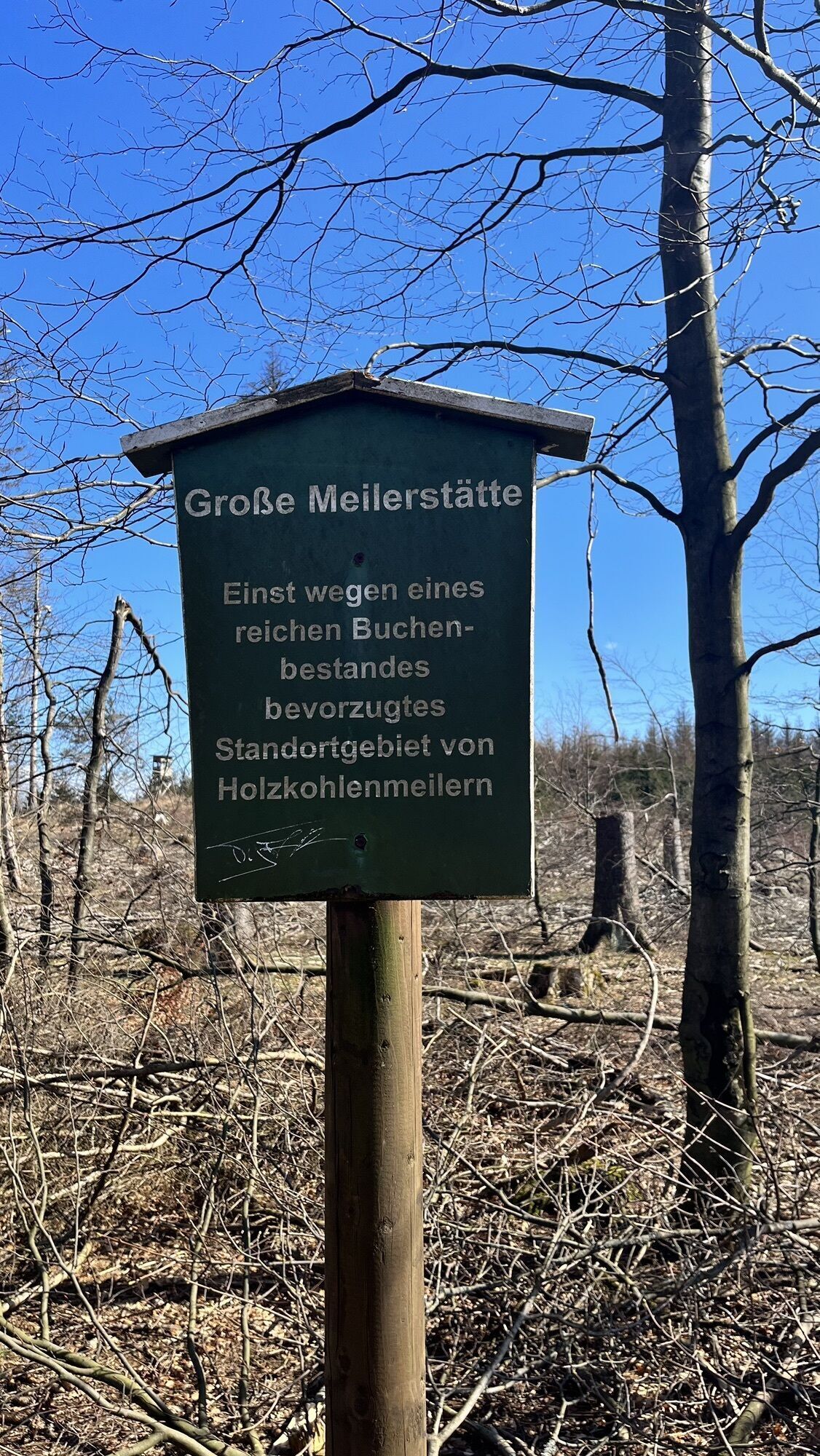
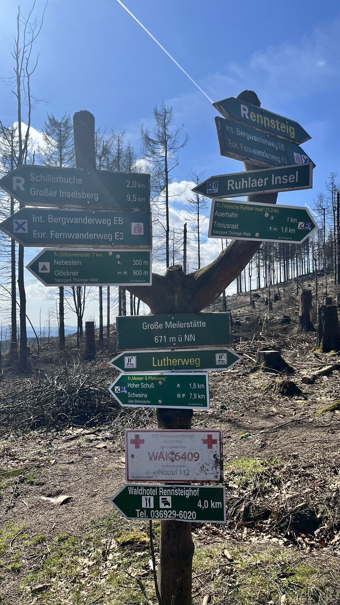
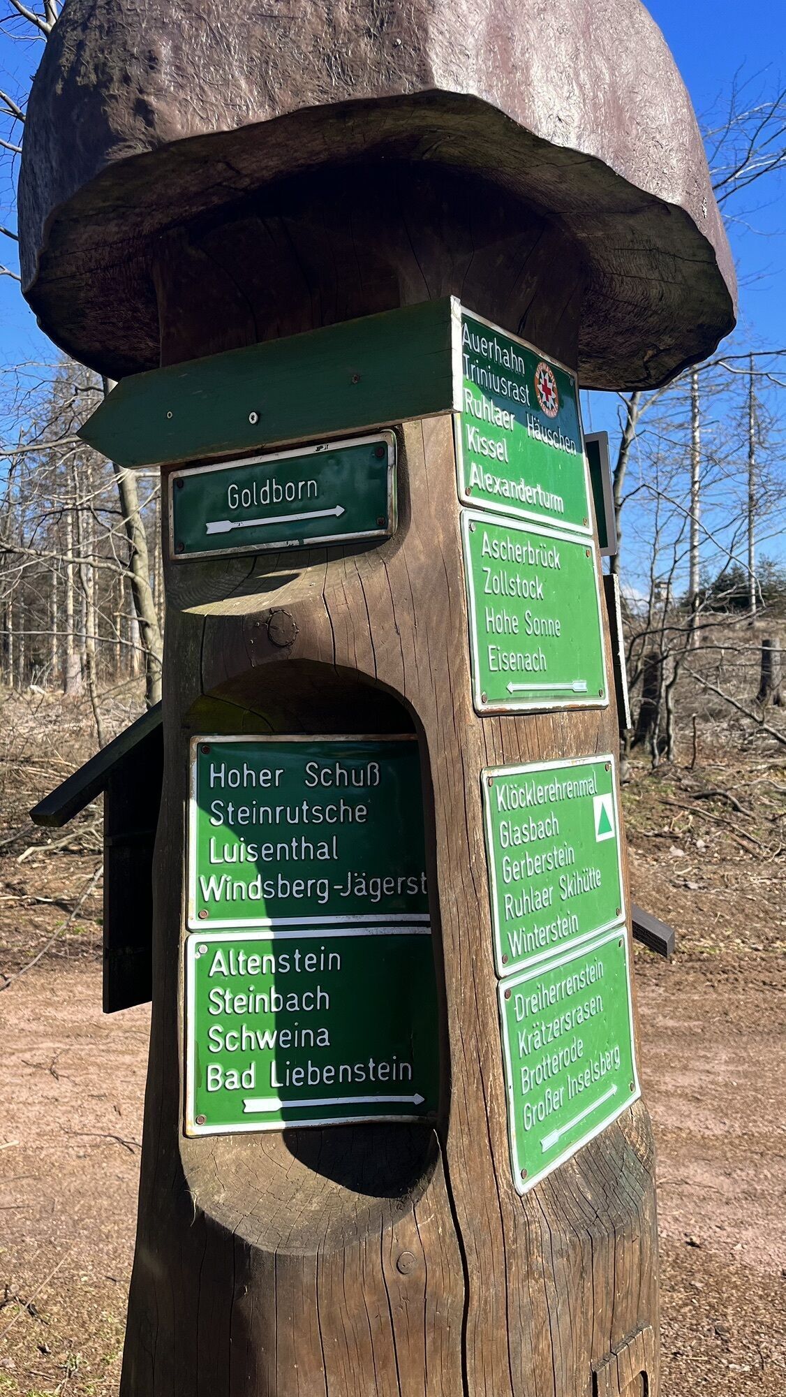
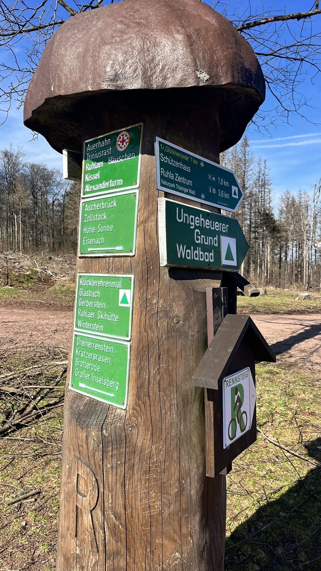
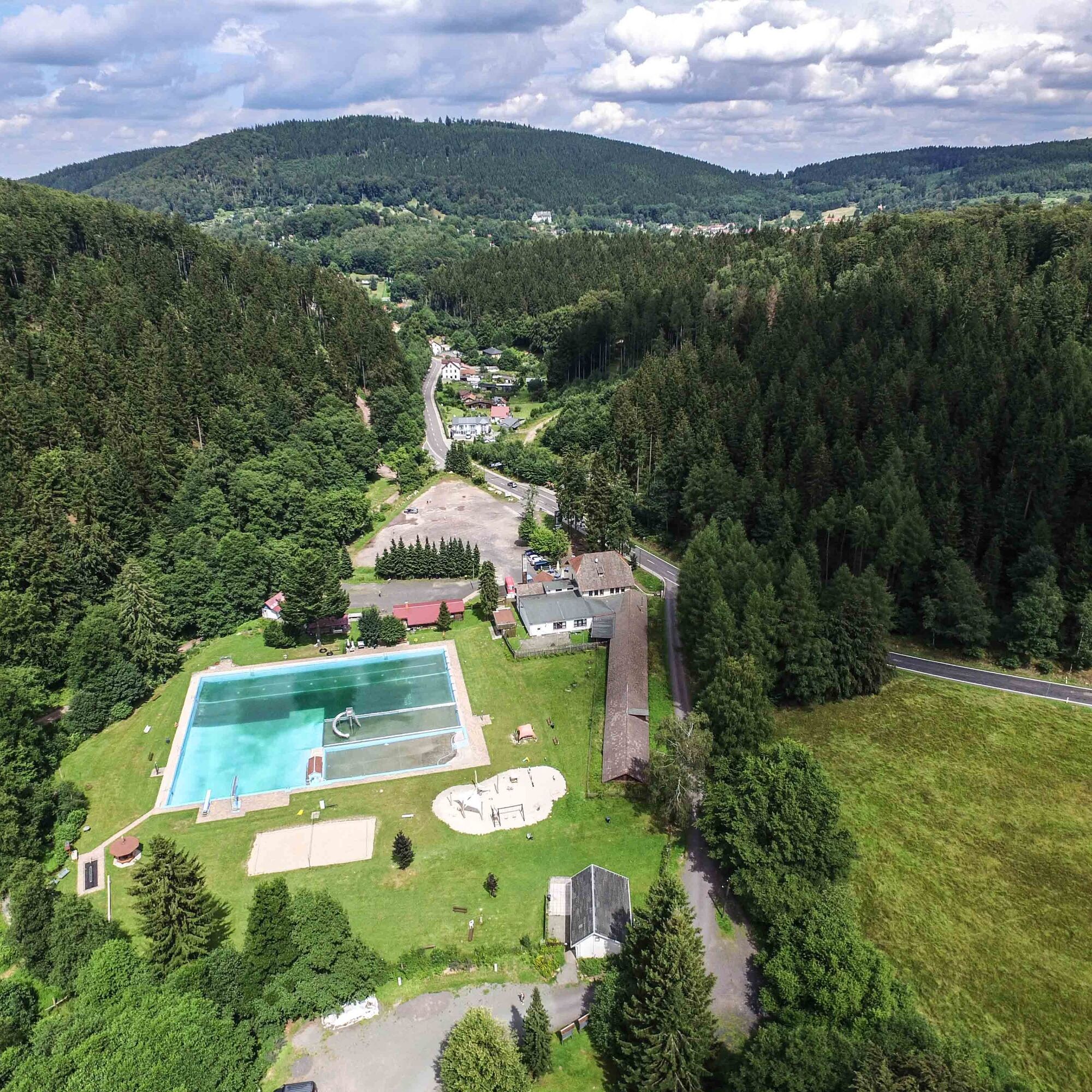
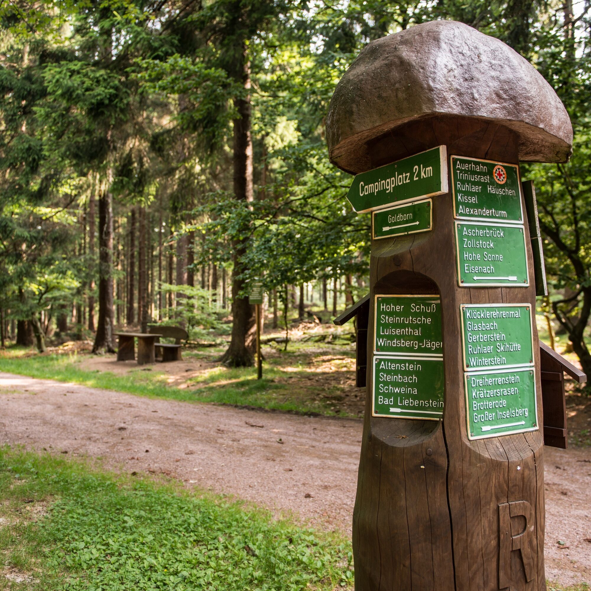
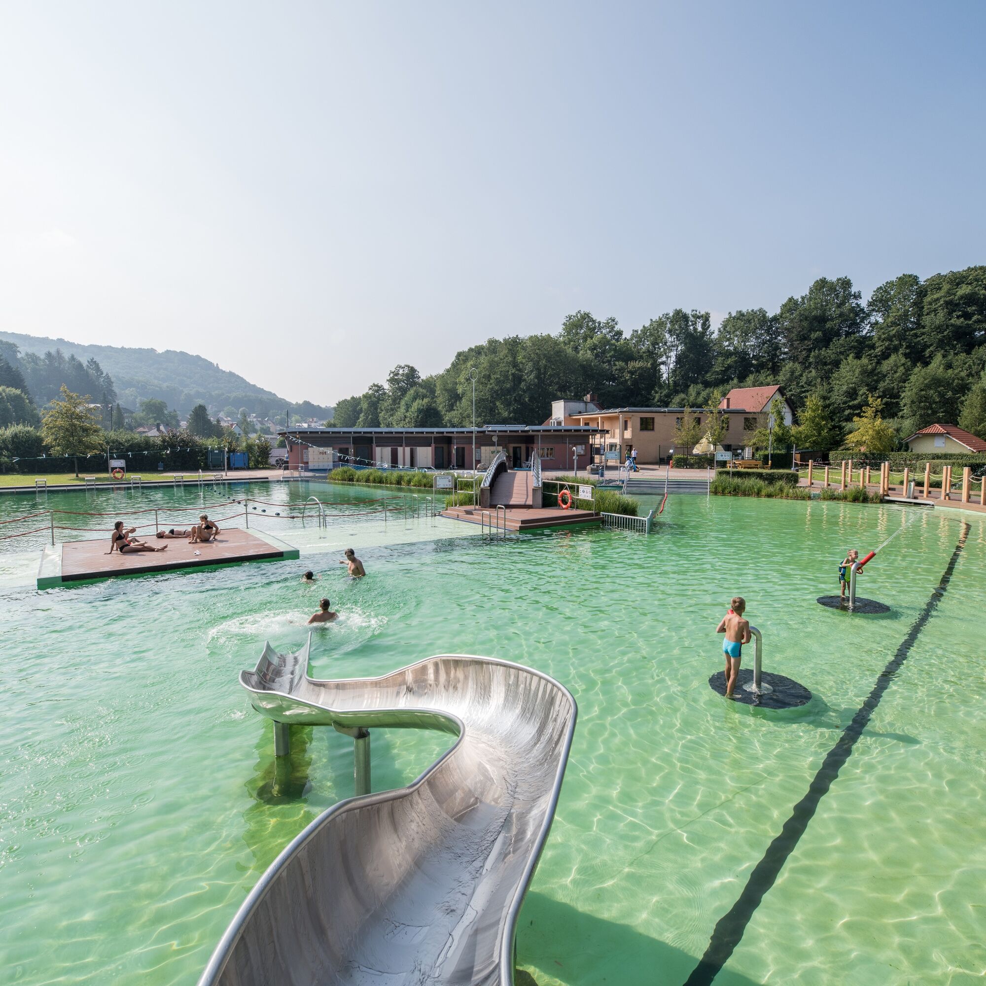
Start is the turning area Steinbach. Along Alte Bahnhofstraße, the path turns left before the Messerstübchen and leads past the local history museum to the Steinbach church ensemble. Along the Kirchweg via Papiergasse and Kälberzahl, it goes uphill to Schleifkotengrund. The path passes the Messerhaus, the sports mountain monument, and the jumping hill. At the nature park gate, you reach a fork. The left path is accessible in all seasons. Through the meadow valley below, the path follows along the stream past remnants of the last original Schleifkote. Both paths meet again at a crossroads and continue toward the Rennsteig, past the pilgrimage site. At the Schillerbeech, the path crosses the street and the Rennsteig downhill into the Berwindental. Across a meadow, the route passes the Storchswiese cross-country ski garden towards Ruhla. The path crosses the main road and passes the jumping hill and the mountain pool through the forest to the hiking parking lot at the duck pond. From here, a detour down to Ruhla and into the local and tobacco pipe museum is worthwhile. The crafts path branches off and returns toward the Rennsteig. The path follows the Rennsteig past Auerhahn to the large charcoal pile site and turns right there to the next large intersection. The path continues level along the stream through the Schweina valley to the Bio pool Glücksbrunn. Here you cross the street and walk along the water into the town. Following the signs, you continue past Glücksbrunn castle towards Altensteiner cave. Behind the cave, the path turns into Altensteiner park (outer park) to the main road. Cross the street to return to the turning area in Steinbach.

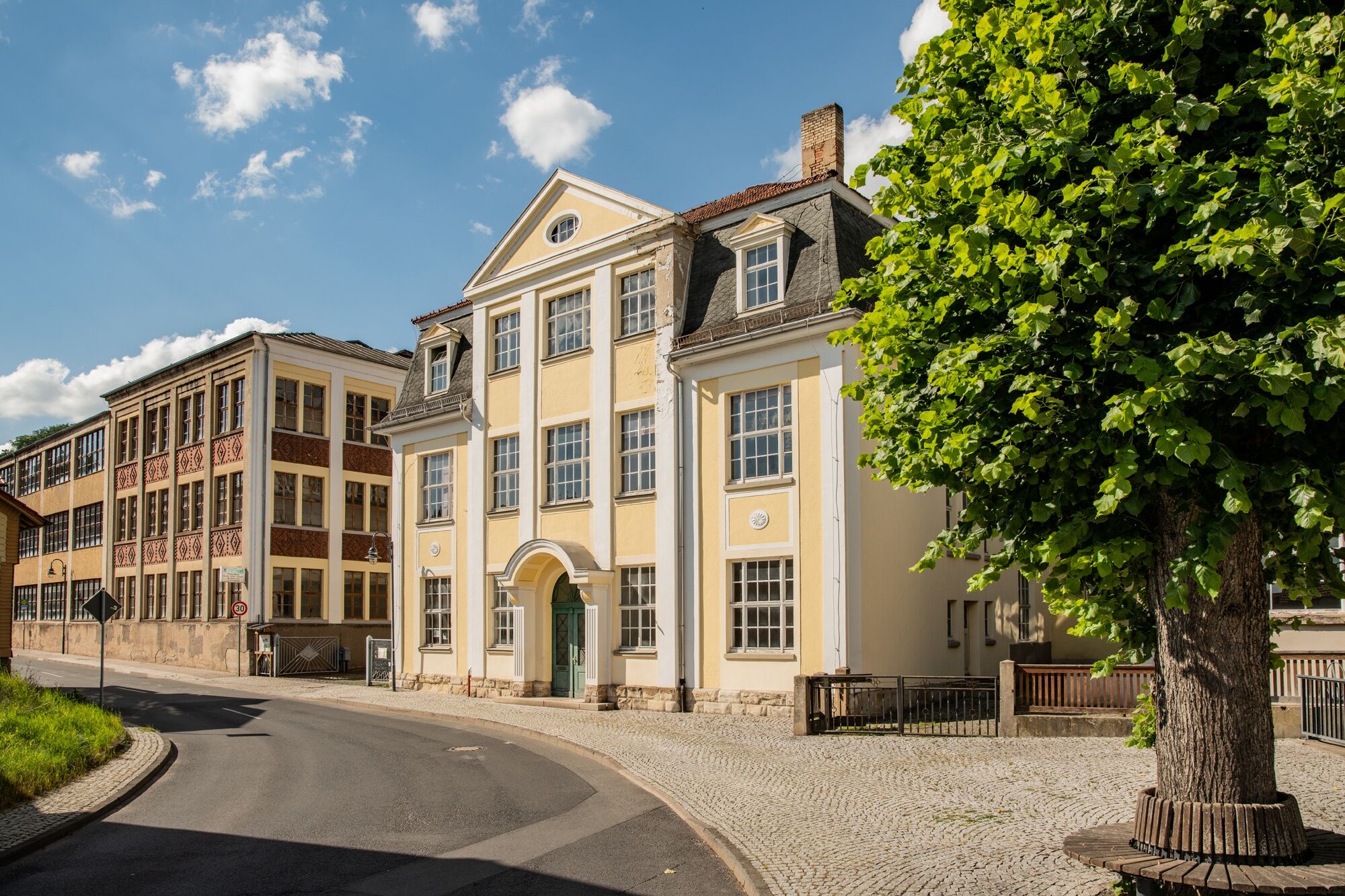
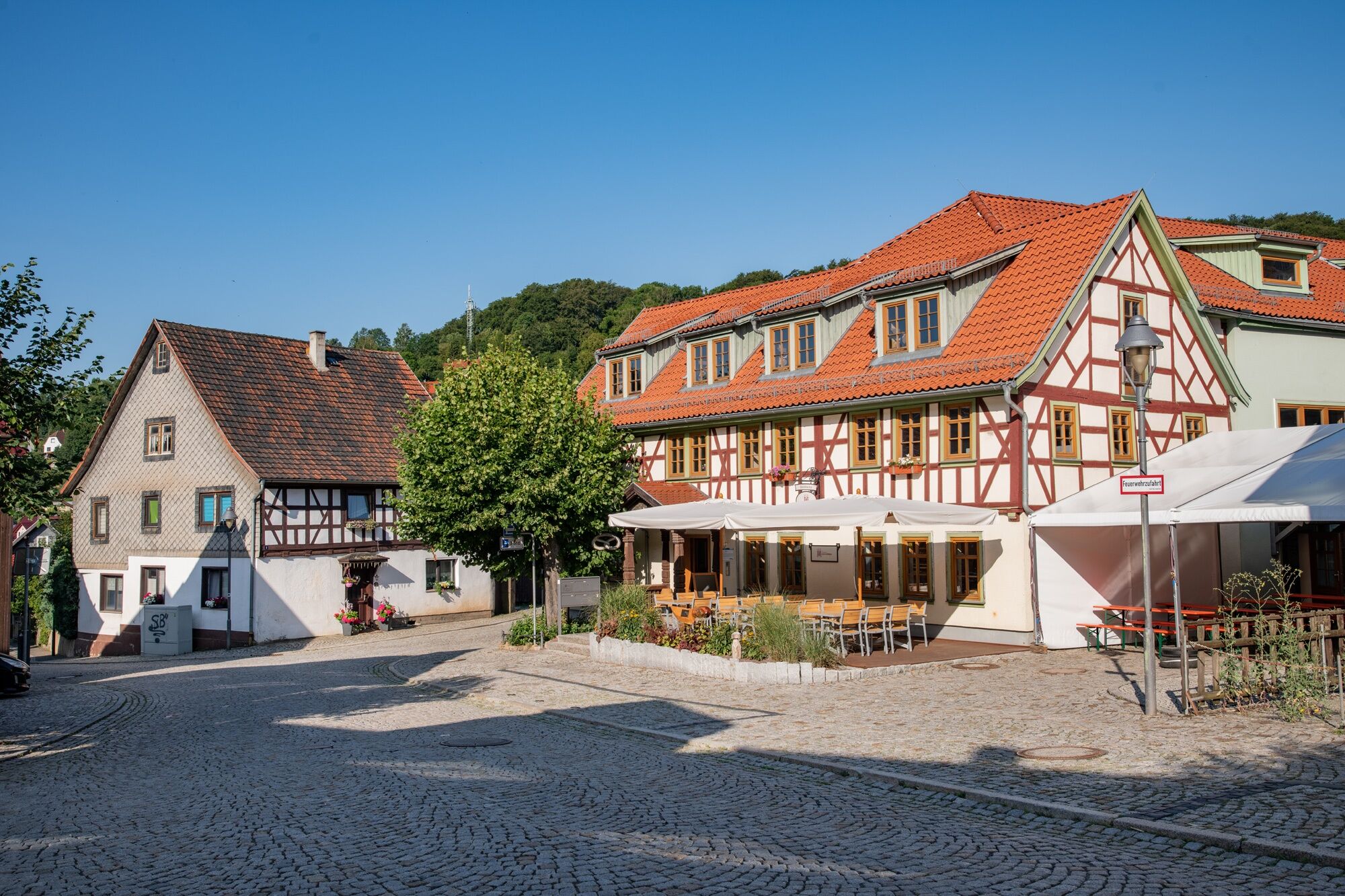
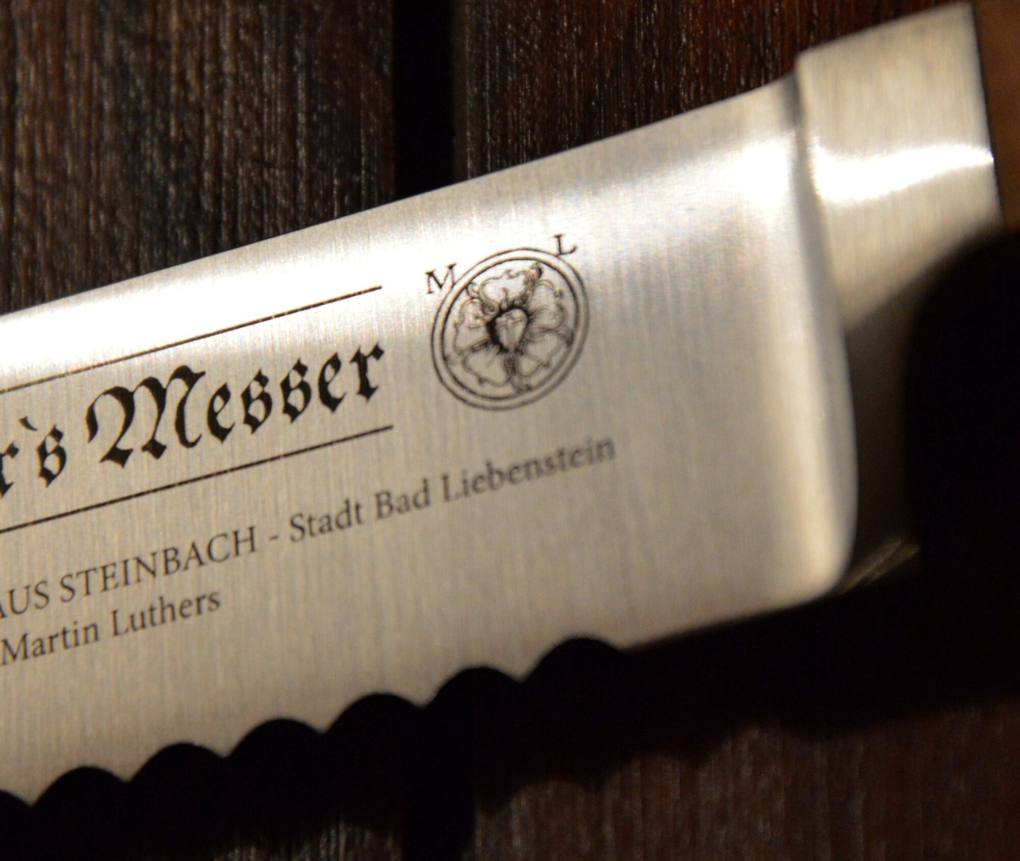
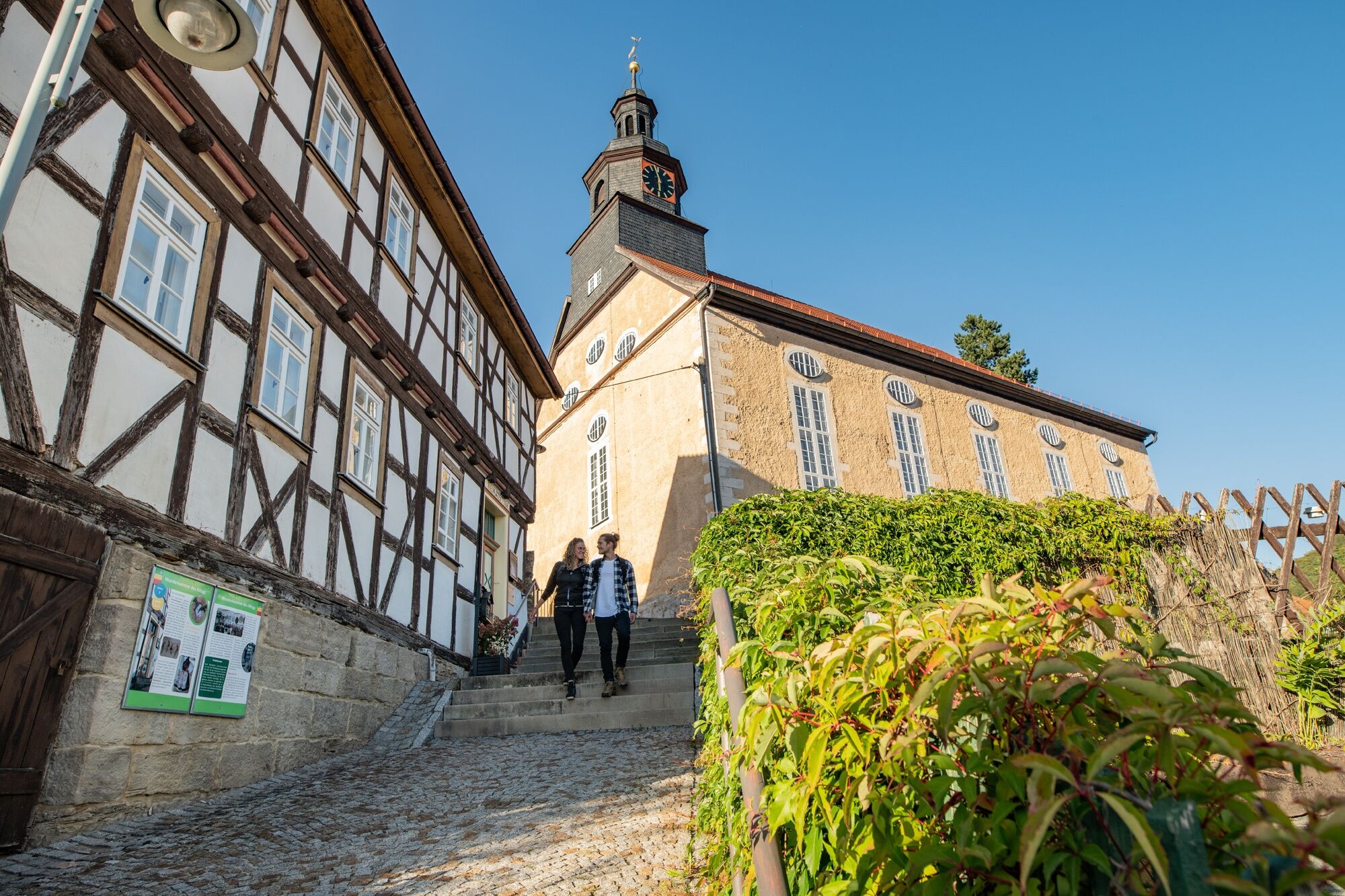
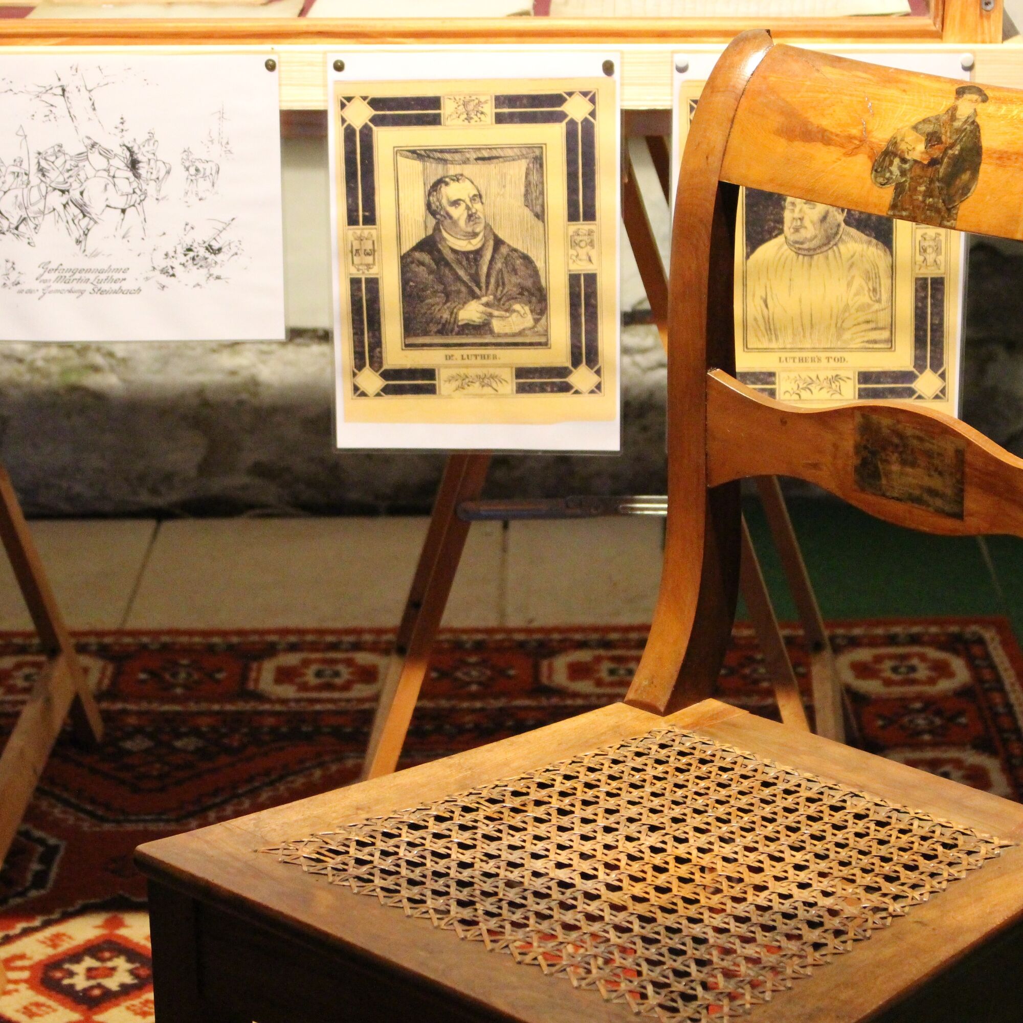

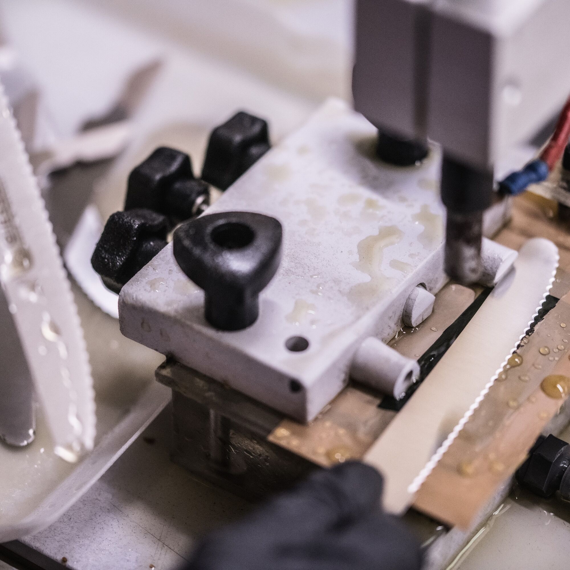

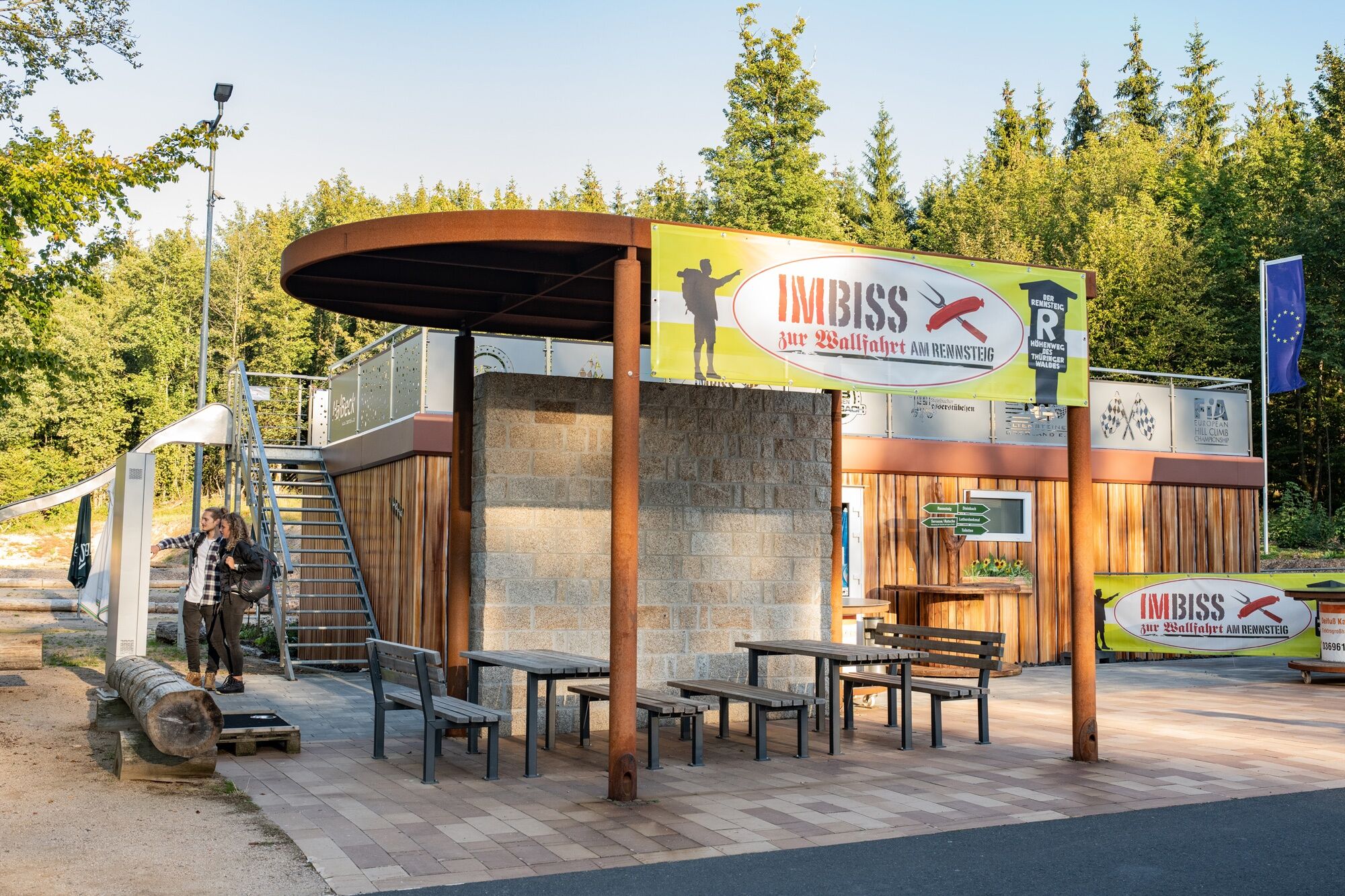
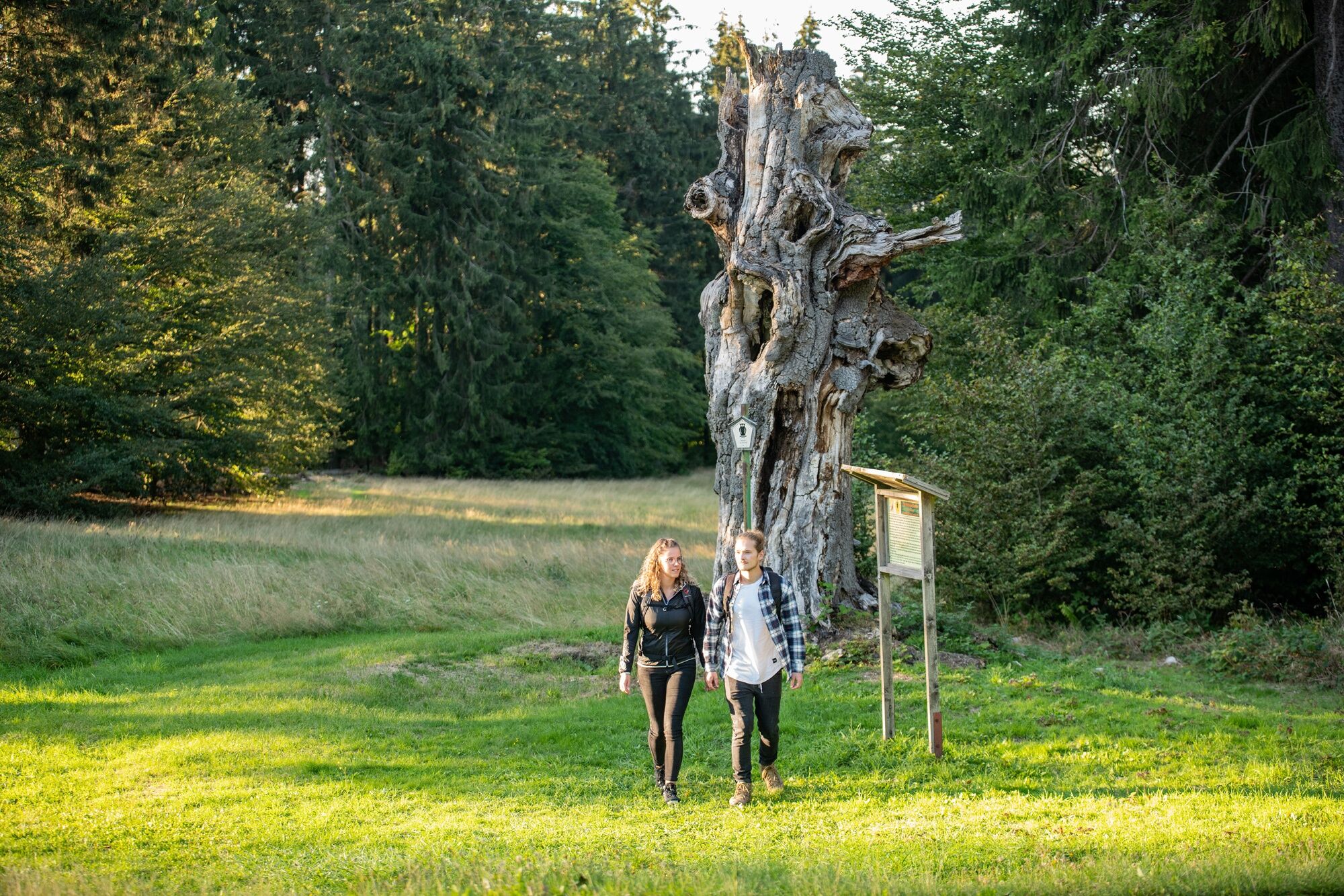
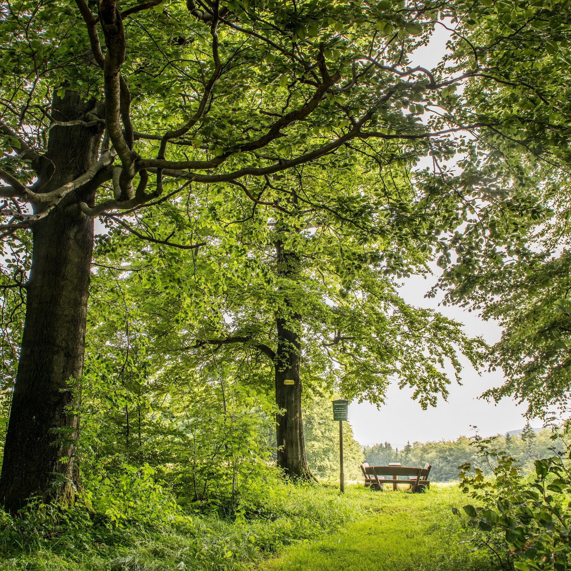
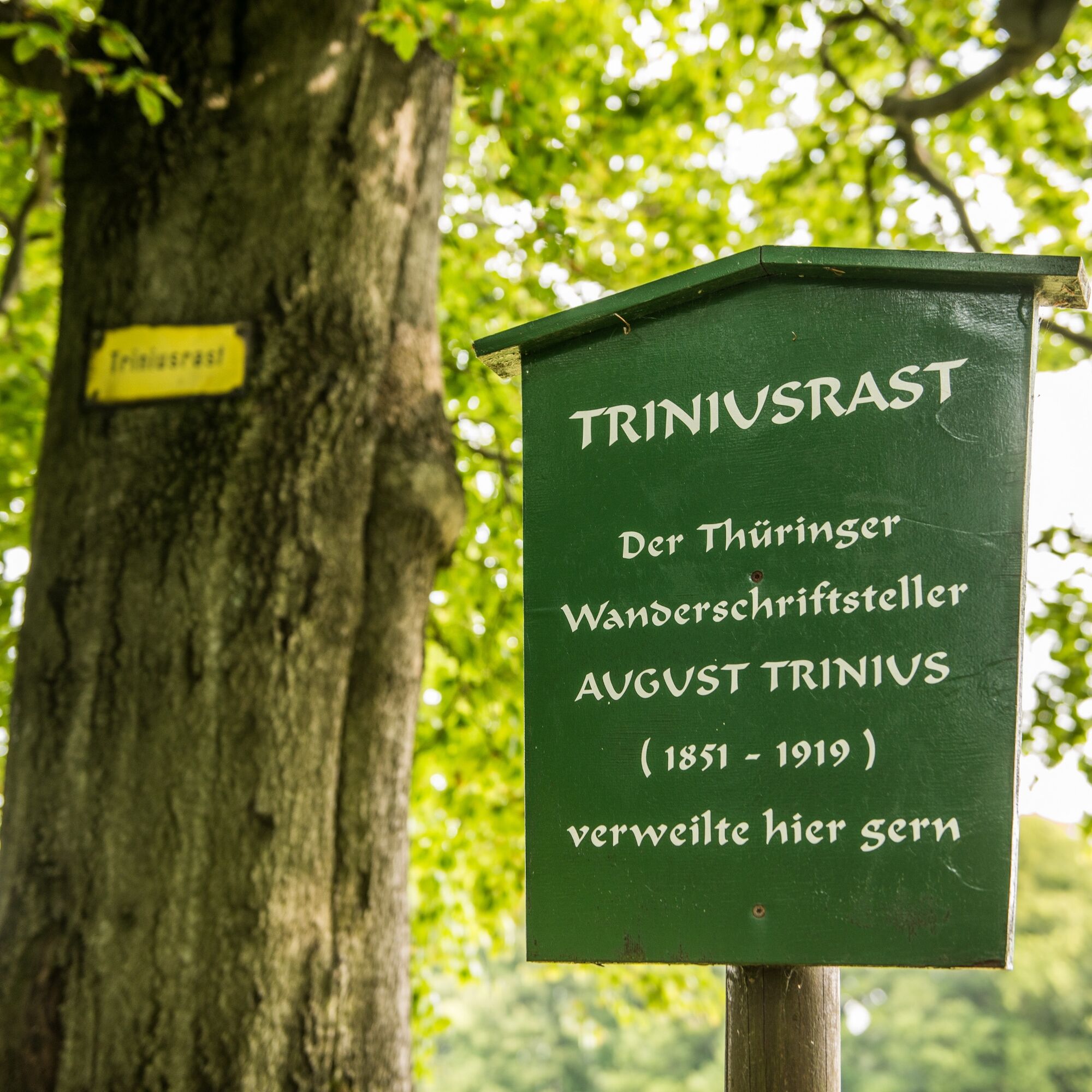


Turning area Steinbach – Alte Bahnhofstraße – Steinbach Messerstübchen – Steiger – Kallenbach – Local history museum – Baroque church with mountain cemetery – Kirchweg/Papiergasse – Bohle – Kälberzahl – Schleifkotengrund – Old Schleifkote – Hühne – Rehkopf junction – Pilgrimage – Schillerbeech/Rennsteig – Berwindental – Stork meadow – Jumping hill old Ruhl – Duck pond – Dornsengasse – Dornsental – Trinius rest – Rennsteig – Mountain rescue hut Auerhahn – Rennsteig – Large charcoal pile site – High shot – Rock slide – Schweinaer valley – Bio pool Glücksbrunn – Meadow path – Glücksbrunner street – Altensteiner street – Altensteiner cave – Glasbachstraße crossing – Liebensteiner street – Villa Ambronn – Liebensteiner street – Alte Bahnhofstraße – Steinbach waterwheel – Stupps brewery – Turning area Steinbach
Áno
Áno
sturdy footwear
rainwear
first aid kit
drink supply
GPS navigation device or smartphone (D-network is covered)
Be aware of the typical dangers of the forest! Walking is at your own risk! Avoid stepping on moss-covered stones and rocks due to slipping hazard and watch out for deadwood, branches, and fallen trees.
From northern and northwestern Germany: Take the respective highways to the A4 towards Eisenach direction Erfurt, then take the Friedewald/Bad Salzungen exit and follow the B62 and signs to Bad Liebenstein.
From eastern and southeastern Germany: Take the respective highways to the A4 towards Erfurt direction Eisenach, then take the Waltershausen exit and follow the signs to Bad Liebenstein.
From southern and southwestern Germany: Take the respective highways to Würzburg, then continue on the new A71 towards Erfurt, then take the Meiningen-Nord/Bad Salzungen exit and follow the B19 and the signs to Bad Liebenstein.
From Bad Liebenstein, it is about 3 km to the start of the route in Steinbach.
You can reach Bad Liebenstein by Deutsche Bahn. The nearest ICE station is about 30 kilometers away in Eisenach. A regional train station is about 11 kilometers away in Bad Salzungen. From both cities, bus line 190 travels directly to Bad Liebenstein.
Use the parking lot at the Steinbach turning area (Google NAV point). More information about parking options in Bad Liebenstein can be found here.
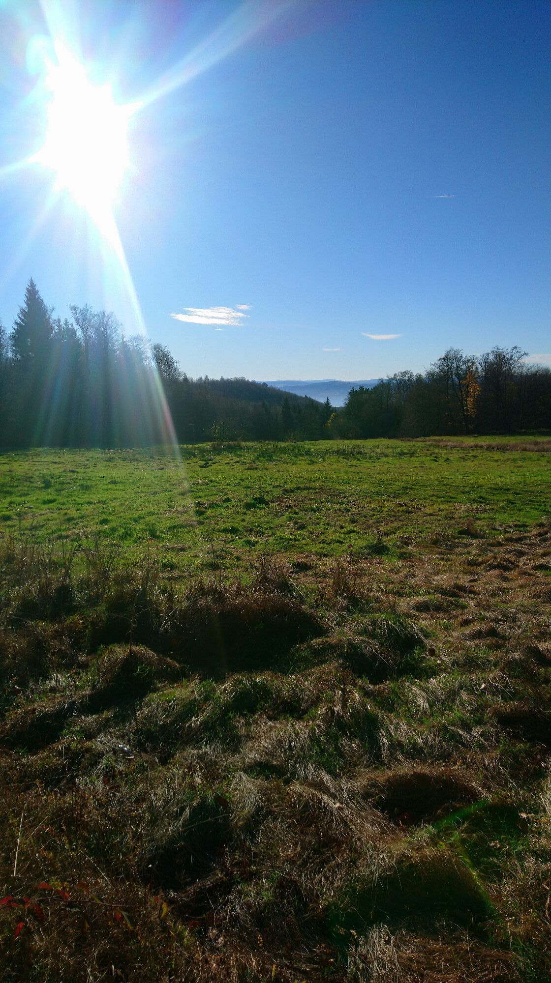
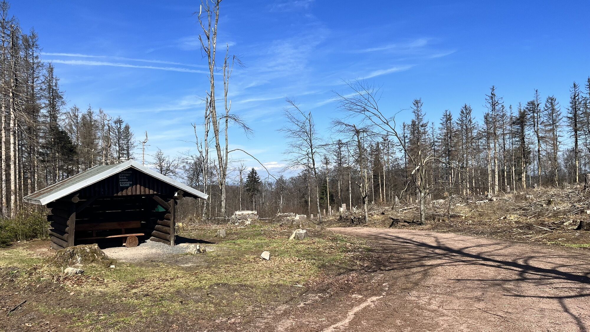
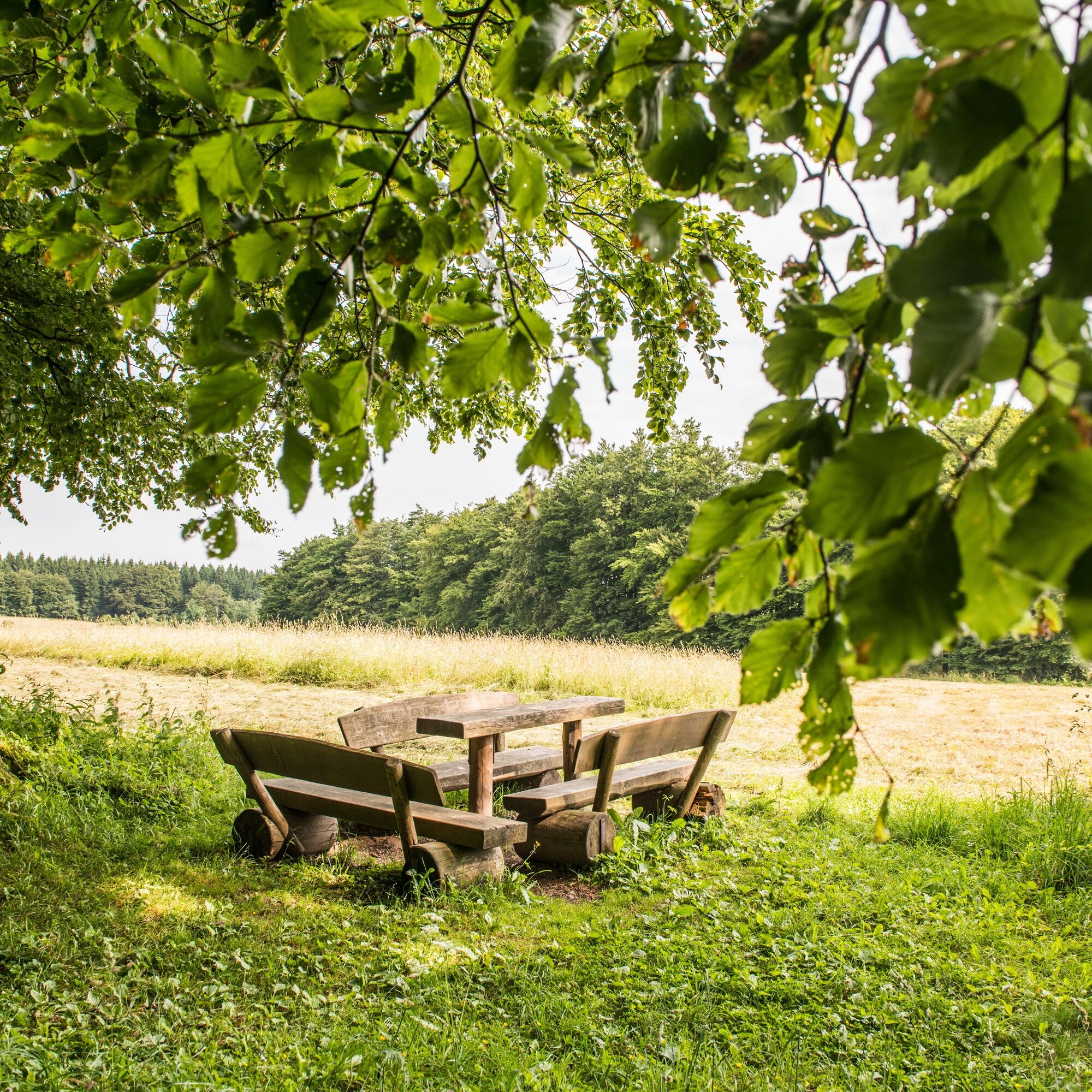
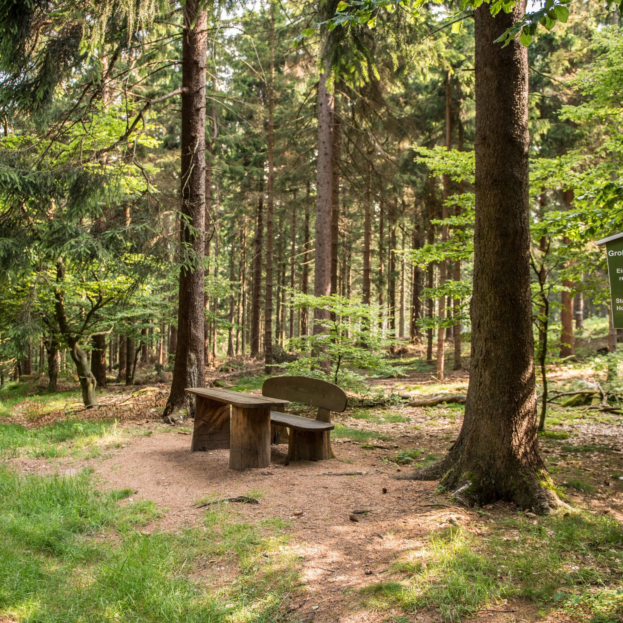
At the seating area at the old Schleifkote in the meadow valley by the river, you can take a wonderful break. An idyllic scenery.
 Získajte prehľad
Vždy naživo na mieste s viac ako 9 500 webovými kamerami. bergfex Ako používateľ Pro si teraz môžete pozrieť príslušné webové kamery pre mnohé zájazdy v aplikácii zájazdy z. Môžete si tak priamo prezerať aktuálne podmienky.
Získajte prehľad
Vždy naživo na mieste s viac ako 9 500 webovými kamerami. bergfex Ako používateľ Pro si teraz môžete pozrieť príslušné webové kamery pre mnohé zájazdy v aplikácii zájazdy z. Môžete si tak priamo prezerať aktuálne podmienky.
Obľúbené výlety v okolí
-
5,0
EA1 - Circular route - Gorge tour near Eisenach - Thuringian Forest
strednáTuristika 9,68 km -
4,5
Summit and panoramic route - Route 1 - Bad Tabarz
strednáTuristika 10,9 km -
3,9
EA2 - circular hiking route - "The Beauties of Eisenach" - Thuringian Forest
strednáTuristika 9,96 km -
5,0
Wartburg und Drachenschlucht
strednáTuristika 15,1 km -
4,7
IVV PW + GTW "In Luther's footsteps - Luther, dragons, landgraves, rose miracle..."
strednáTuristika 15,8 km -
4,8
Hike - "Rennsteig-Leiter Eisenach" Thuringian Forest
strednáTuristika 3,58 km -
5,0
Circular route 3 - Mariental/Drachenschlucht/Elfengrotte
strednáTuristika 3,54 km -
4,5
Circular hike - Legendary Hörselberge - Great Hörselberg near Eisenach - Thuringian Forest
strednáTuristika 10,6 km -
Tabarzer Vulkansteig
strednáTuristika 9,91 km -
4,8
Inselsberg tour - Tour 2 - Bad Tabarz
ťažkéTuristika 15,1 km
Turistika a stopovanie


Nenechajte si ujsť ponuky a inšpiráciu na ďalšiu dovolenku
Vaša e-mailová adresa bol pridaný do poštového zoznamu.





