


Saalfeld Höhenweg
Úroveň náročnosti: T1
The Saalfeld Höhenweg connects the Saale city Saalfeld and the Rennsteig. From Saalfeld station, the route goes through the town center of Thuringia's "stone chronicle" initially to the Feengrotten Adventure...
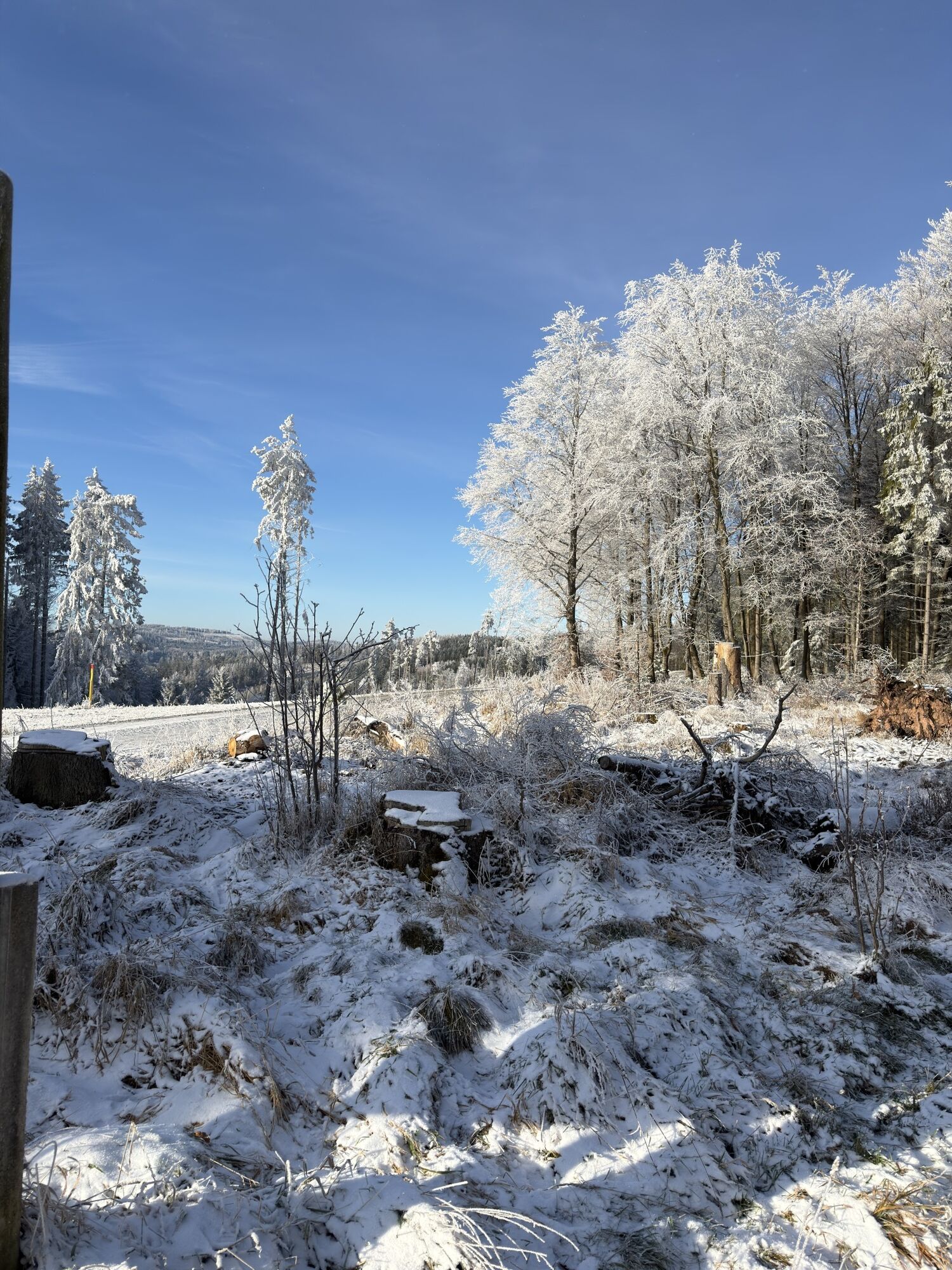
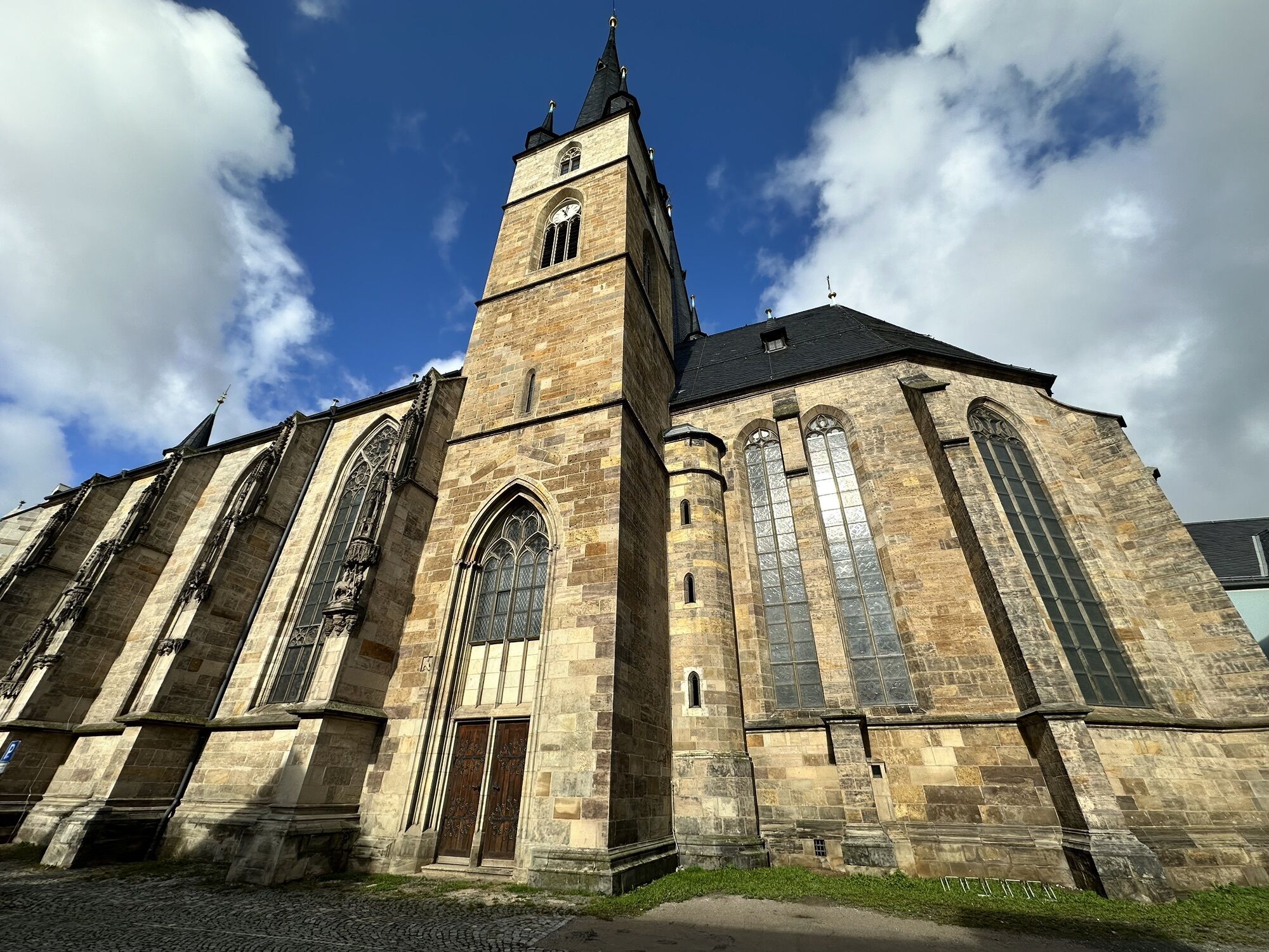
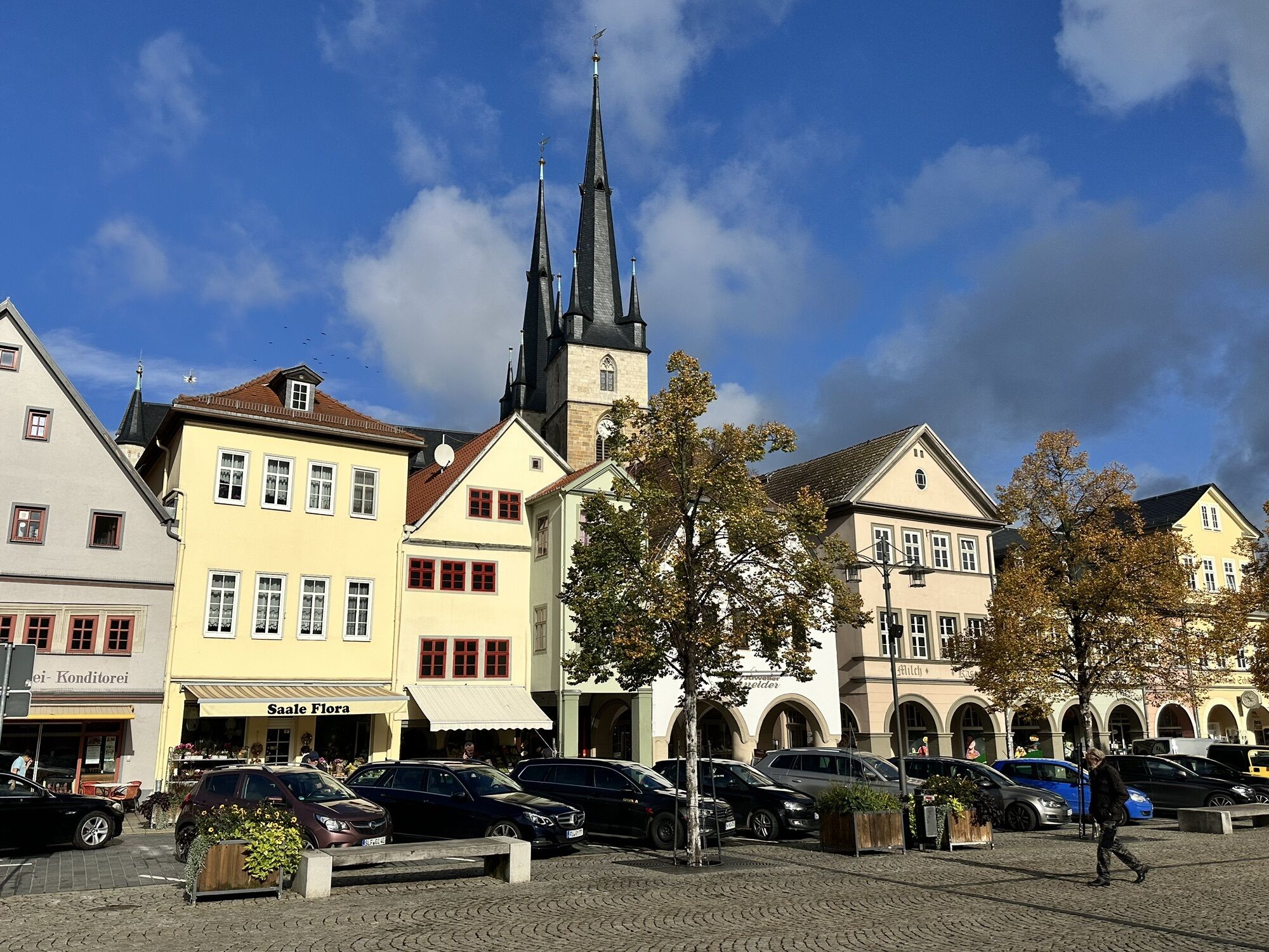
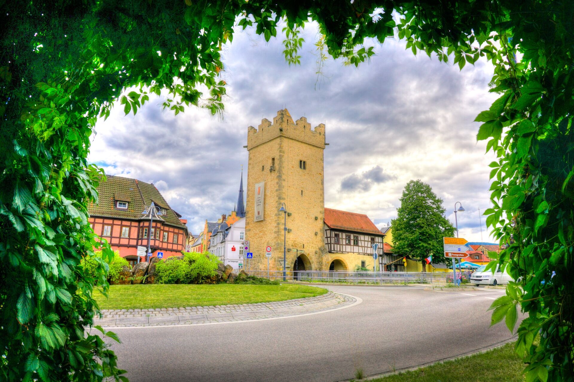
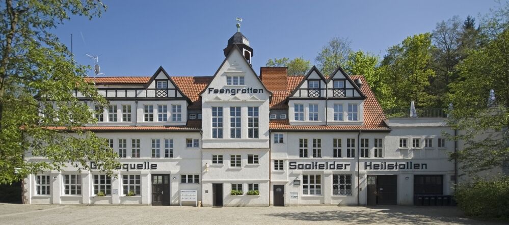
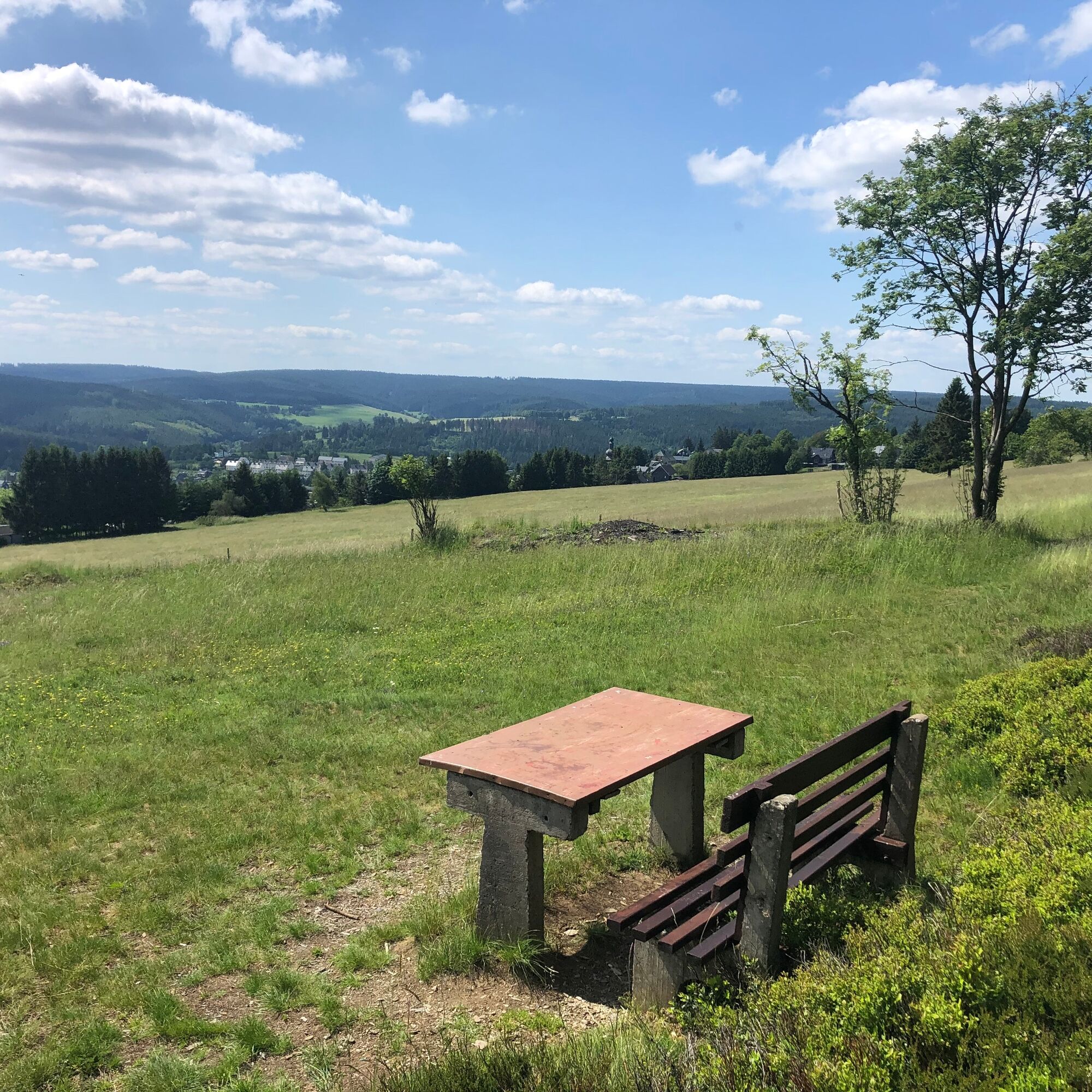
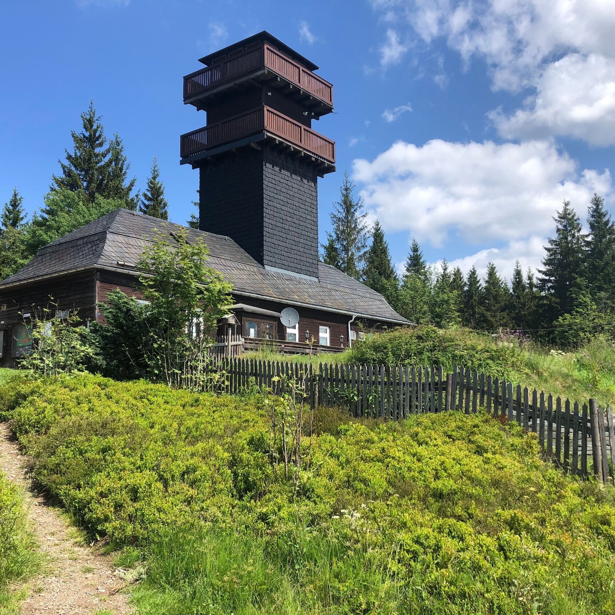
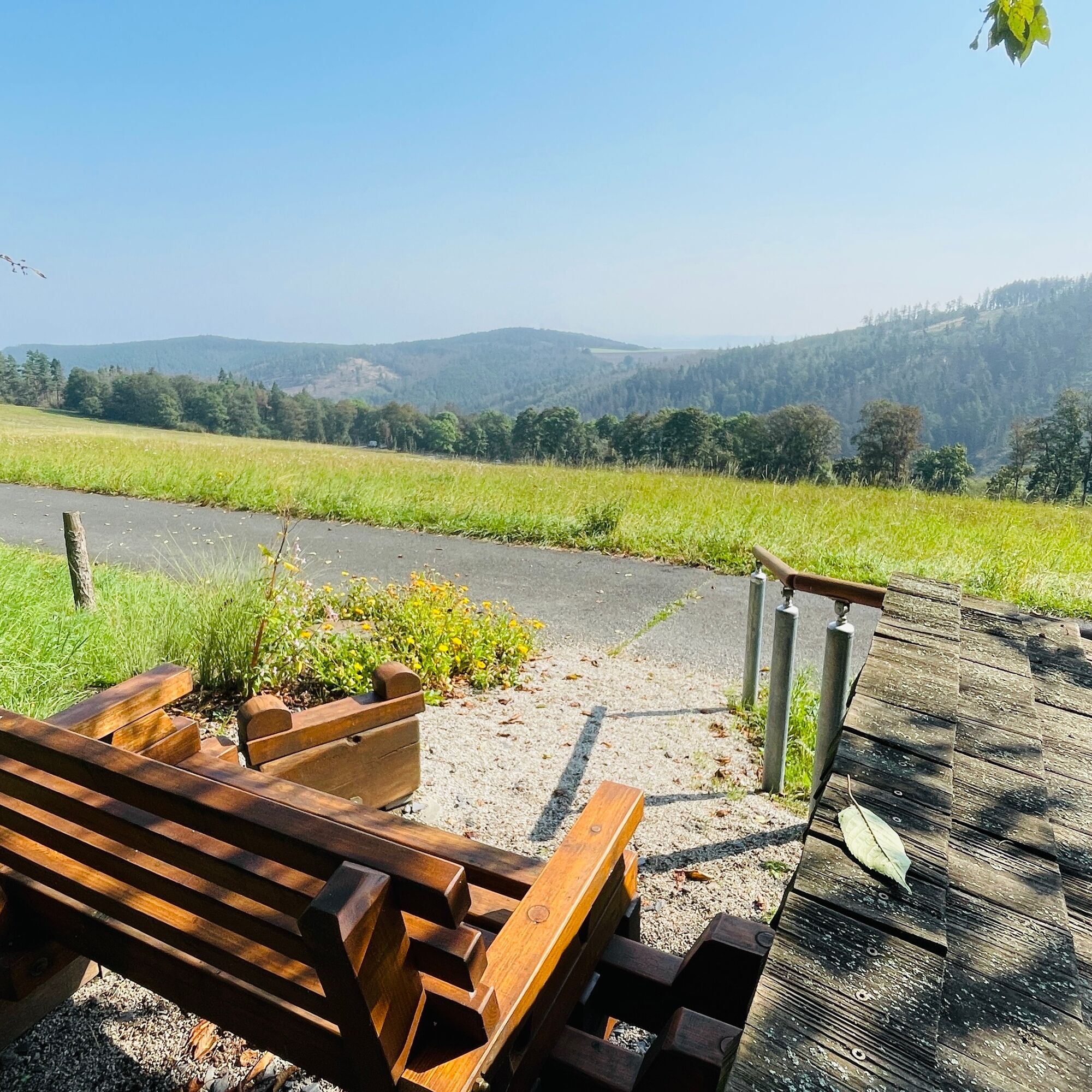
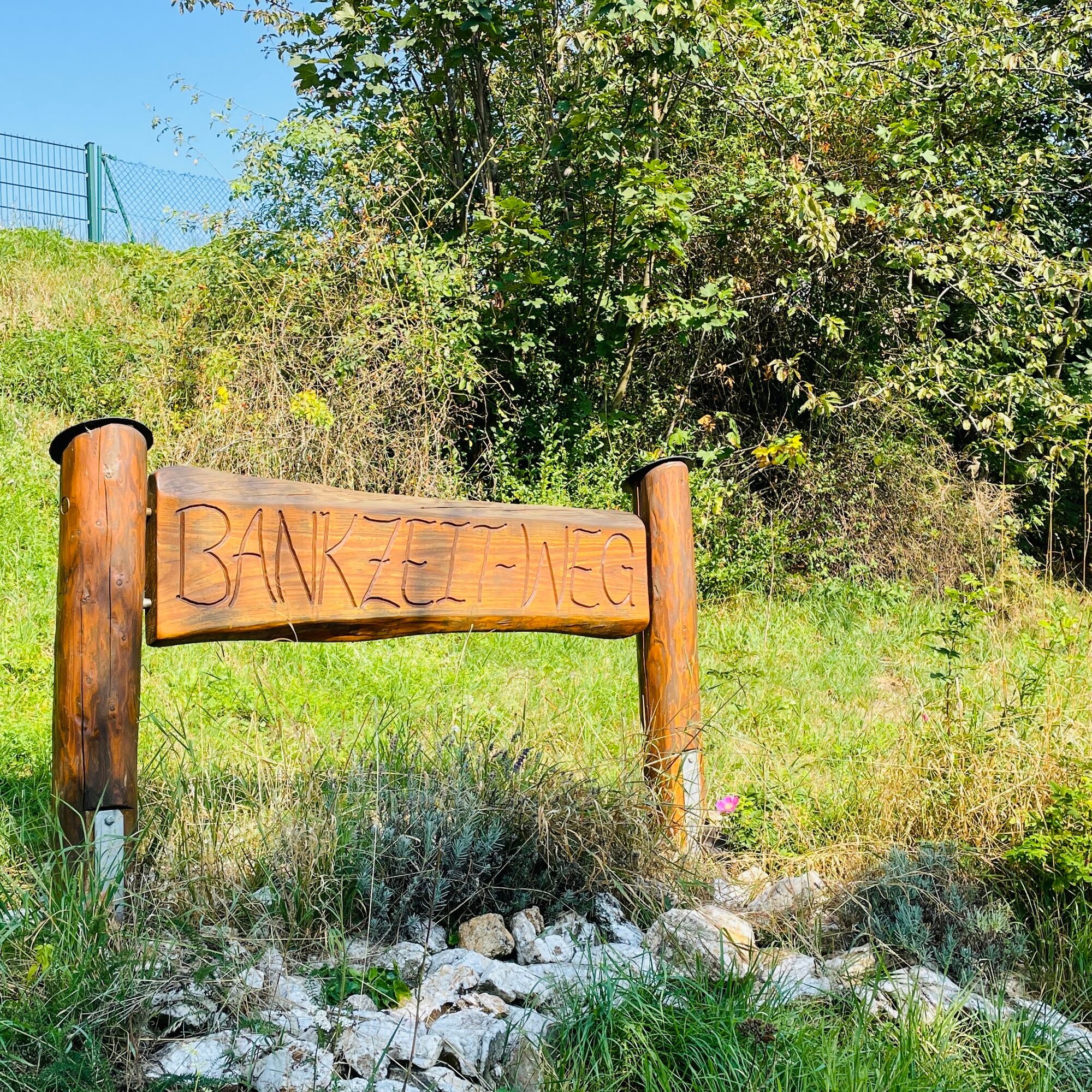
The Saalfeld Höhenweg connects the Saale city Saalfeld and the Rennsteig. From Saalfeld station, the route goes through the town center of Thuringia's "stone chronicle" initially to the Feengrotten Adventure World. Here, a guided tour through the "most colorful show caves in the world" is worthwhile before the path continues up to the Schwarmblick and the Saalfeld Höhenweg. Via the Bankzeitweg in Arnsgereuth, the Silbersee, and the Rotschnabelaussicht in Reichmannsdorf, you reach the Leipziger Turm in Schmiedefeld. From there, the route leads the last kilometers up to the Rennsteig at Neuhaus am Rennweg.

Saalfeld - Arnsgereuth - Reichmannsdorf - Schmiedefeld - Lichte - Neuhaus
Áno
The author recommends sturdy footwear, provisions, and a first aid kit.
Hiking the route is at your own risk.
Currently, there is an increased danger in the forest from dying trees.
Further information is available in the Thuringian Forest Act.
From the west:
exit the A71 at the Stadilm exit and continue on the B90 to Saalfeld
From the south:
exit the A73 at the Eisfeld exit and follow the B281 towards Neuhaus am Rennweg
on the B85 from Kronach
From the east:
exit the A9 at the Lobenstein exit and follow the B90 towards Lobenstein
exit the A9 at the Triptis exit and follow the B281 towards Pößneck
From the north:
exit the A4 at the Jena-Göschwitz exit and follow the B88 towards Rudolstadt
By train to Saalfeld station. Saalfeld is very well and regularly accessible from the areas of Erfurt, Leipzig, and Nuremberg via various regional express connections with bike transport.
Please use the travel portal of Deutsche Bahn for travel planning at the following link:
Return to Saalfeld is possible with bus line 405.
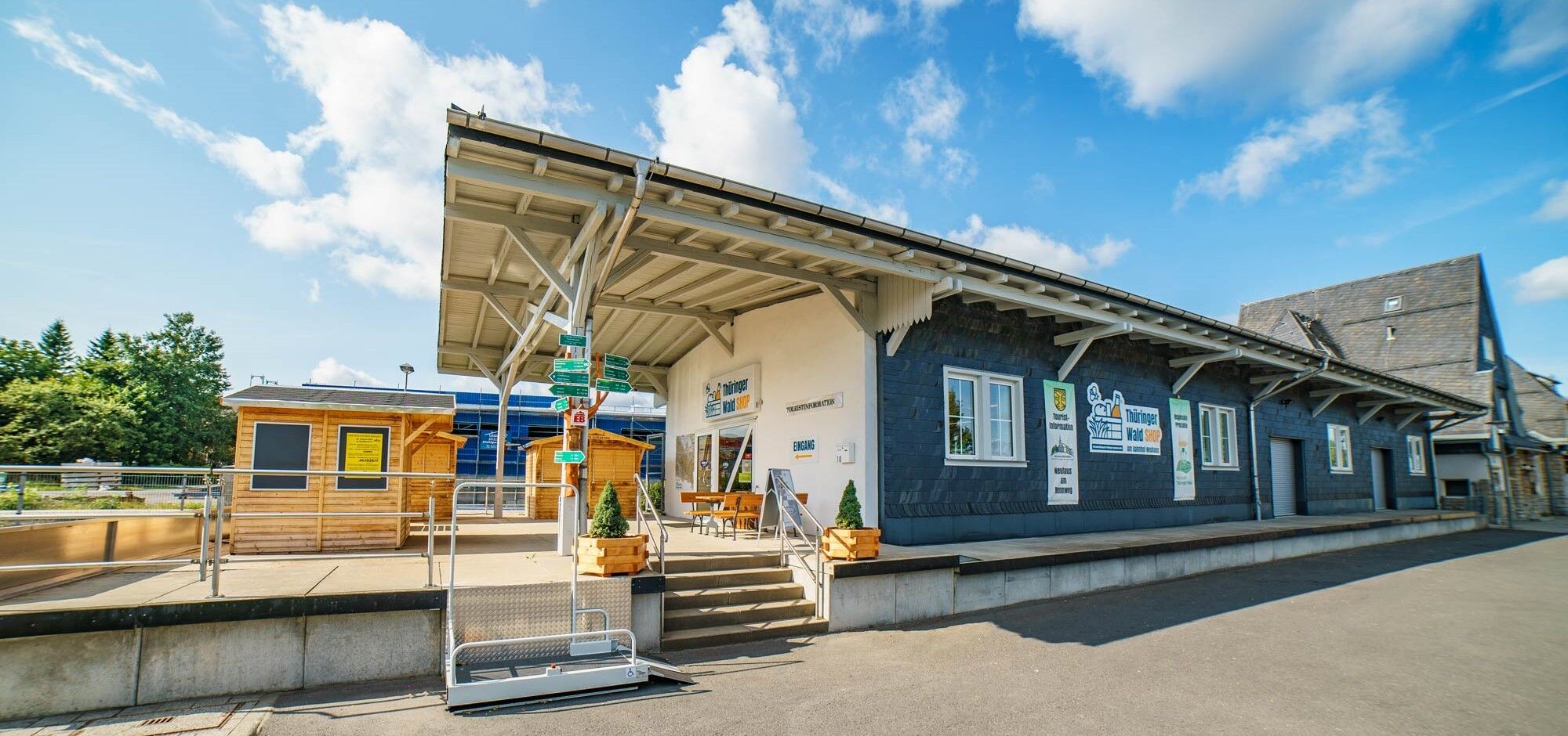
At the station, Kulmbacher Straße, 07318 Saalfeld (Google NAV point)
fee-based park and ride parking at the station (maximum parking duration 30 days)
T1
www.saalfeld-tourismus.de
For stress-free retracing of the route, the author recommends using the GPS track of the route (GPX). Navigation with a GPS device or a smartphone app makes finding the way significantly easier in some sections.
Obľúbené výlety v okolí
-
4,8
Circular hiking trail - "To the most beautiful viewpoints" - Thuringian Forest
strednáTuristika 12,8 km -
Circular hiking trail - "Sculpture Trail" - Hiking start Unterweißbach - Thuringian Forest
strednáTuristika 24,4 km -
4,0
Circular route - “To the Strudel pots of the Schwarza” - Starting point at the Chrysopras weir - Bad Blankenburg
strednáTuristika 9,01 km -
Circular hike - "Friedrich Fröbel" - Bad Blankenburg
ťažkéTuristika 14,4 km -
5,0
Urwaldpfad Leutenberg - Thuringian Urwaldpfade
strednáTuristika 6,82 km -
Circular trail - Saugartenpfad - Hiking start at Chrysopraswehr - Bad Blankenburg
strednáTuristika 8,39 km -
5,0
Kulm route
strednáTuristika 9,39 km -
Panoramaweg Schwarzatal - Stage 1 Schwarza to Schwarzburg - Thuringian Forest
ťažkéTuristika 15,4 km -
Meurasteine, Talsperre Leibis-Lichte
strednáTuristika 13,4 km -
5,0
Circular hiking trail - Nature educational path Lichtenhain - Hiking start Lichtenhain
strednáTuristika 8,08 km

Turistika a stopovanie


Nenechajte si ujsť ponuky a inšpiráciu na ďalšiu dovolenku
Vaša e-mailová adresa bol pridaný do poštového zoznamu.