


Circular hike to Krayenburg
Circular hike through the districts of Krayenberggemeinde with a stop at Krayenburg

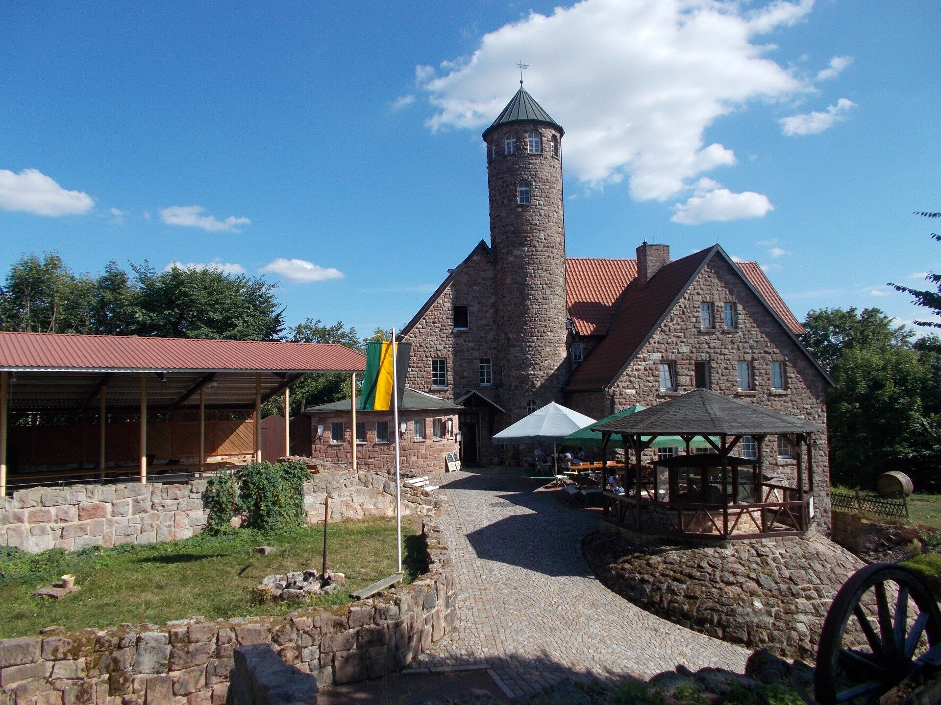
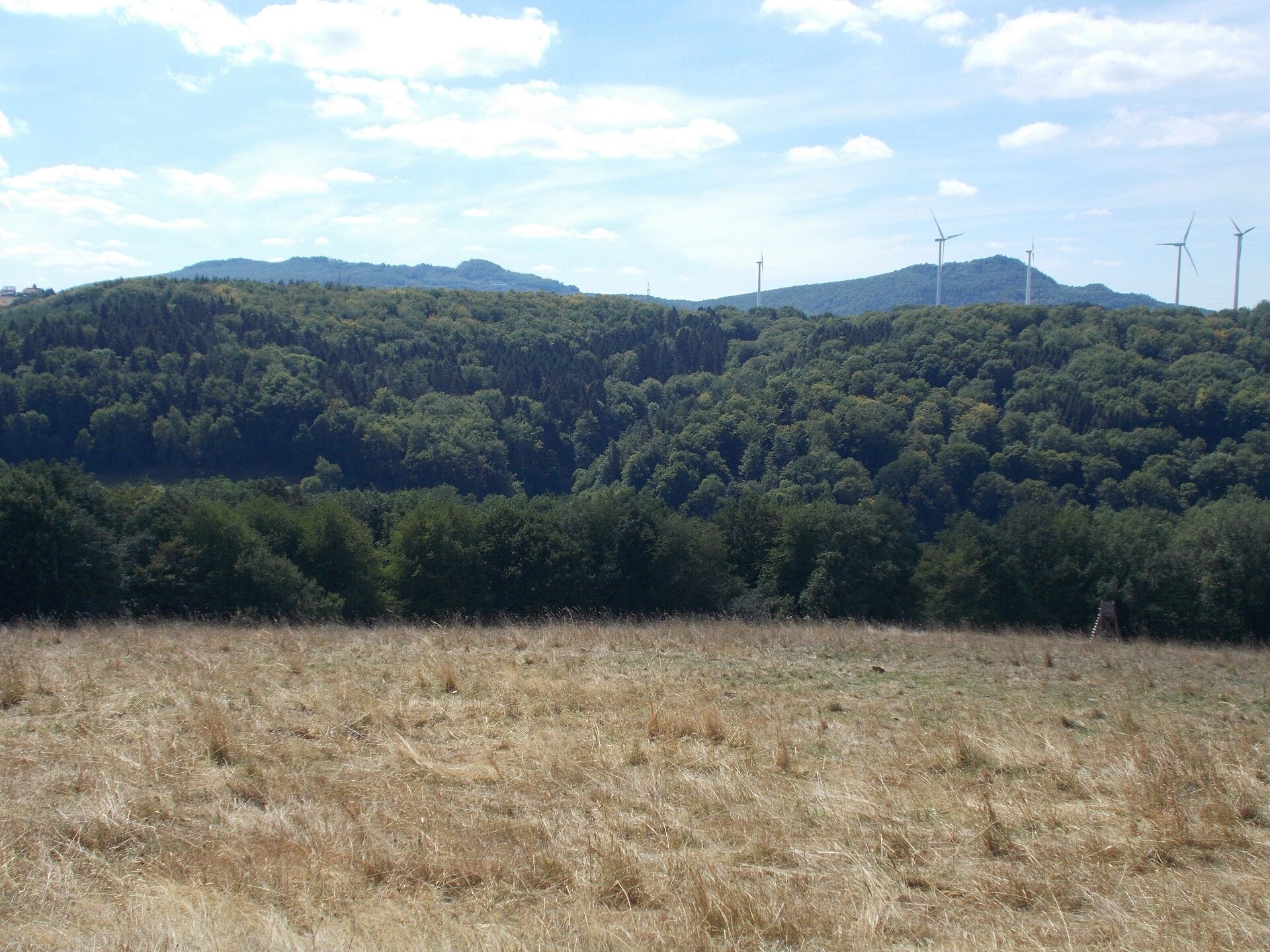
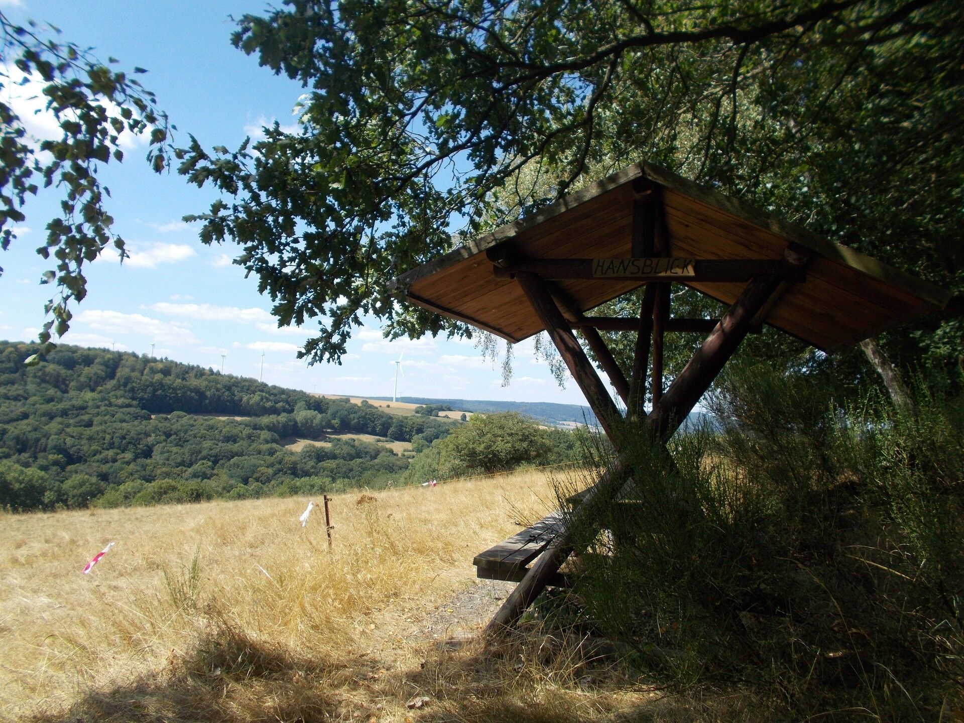
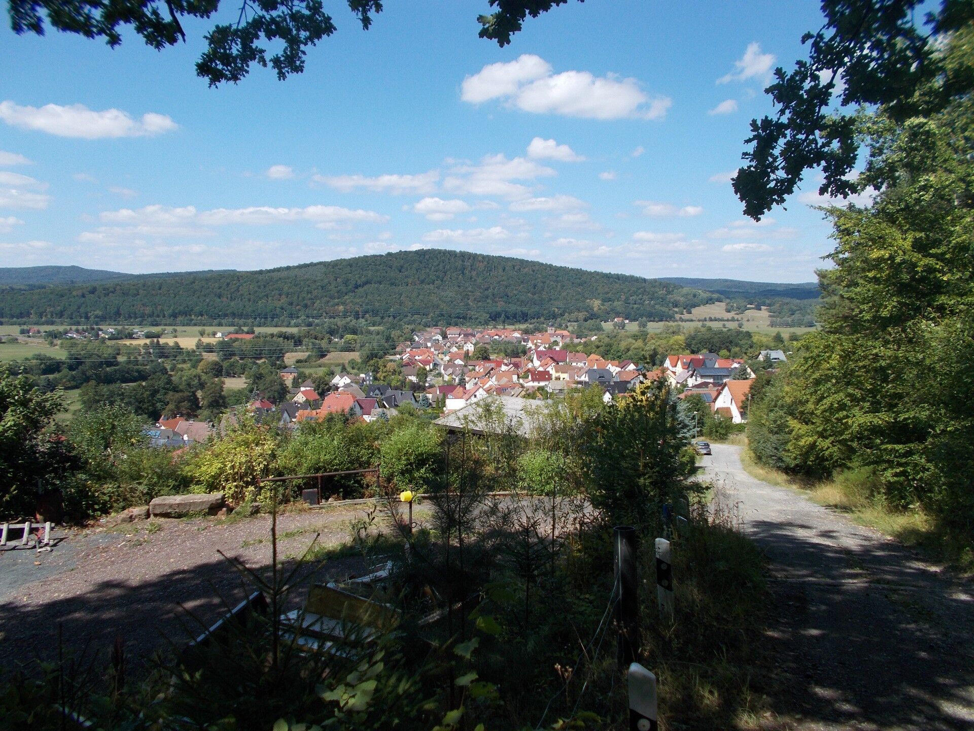
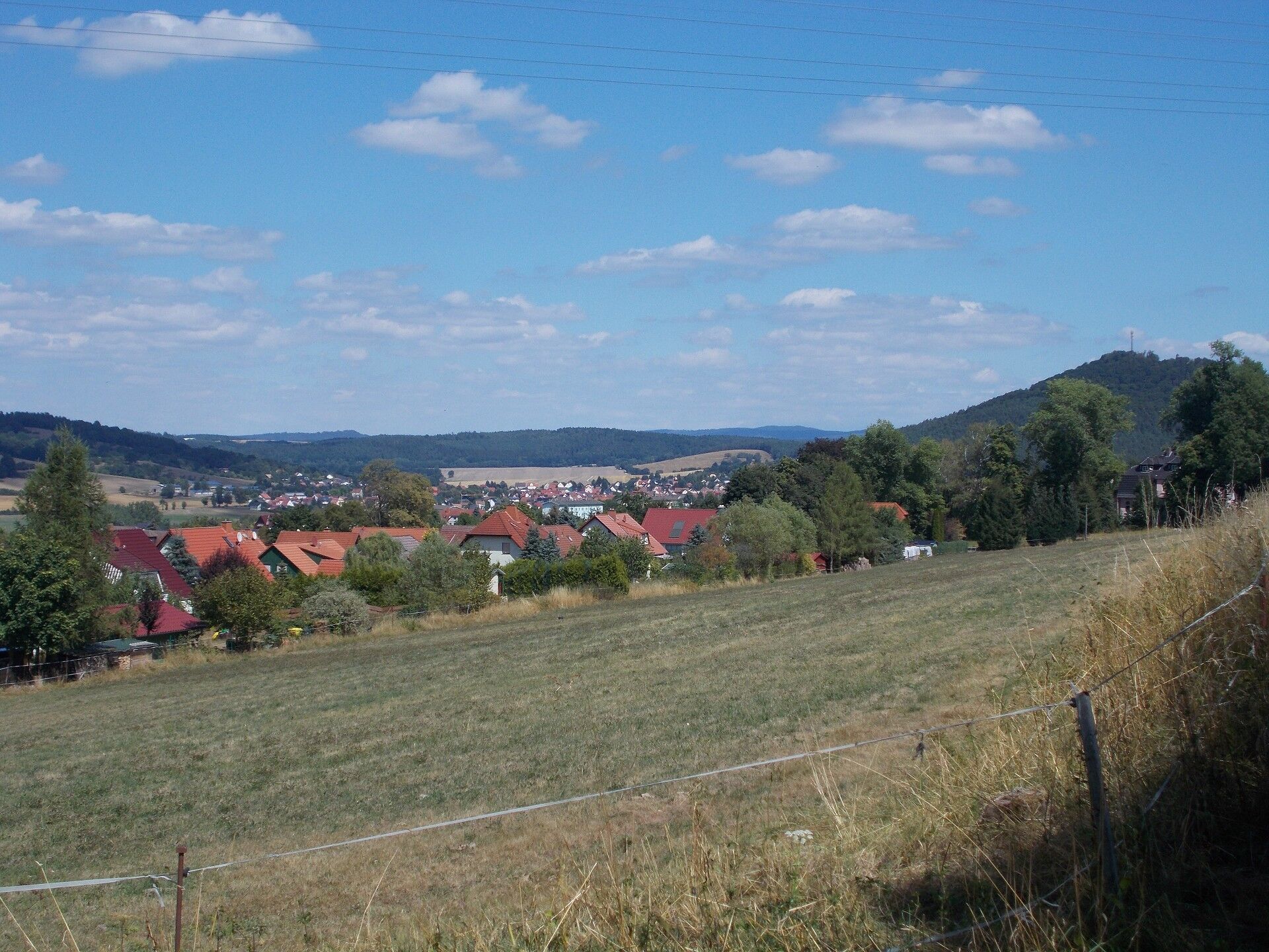
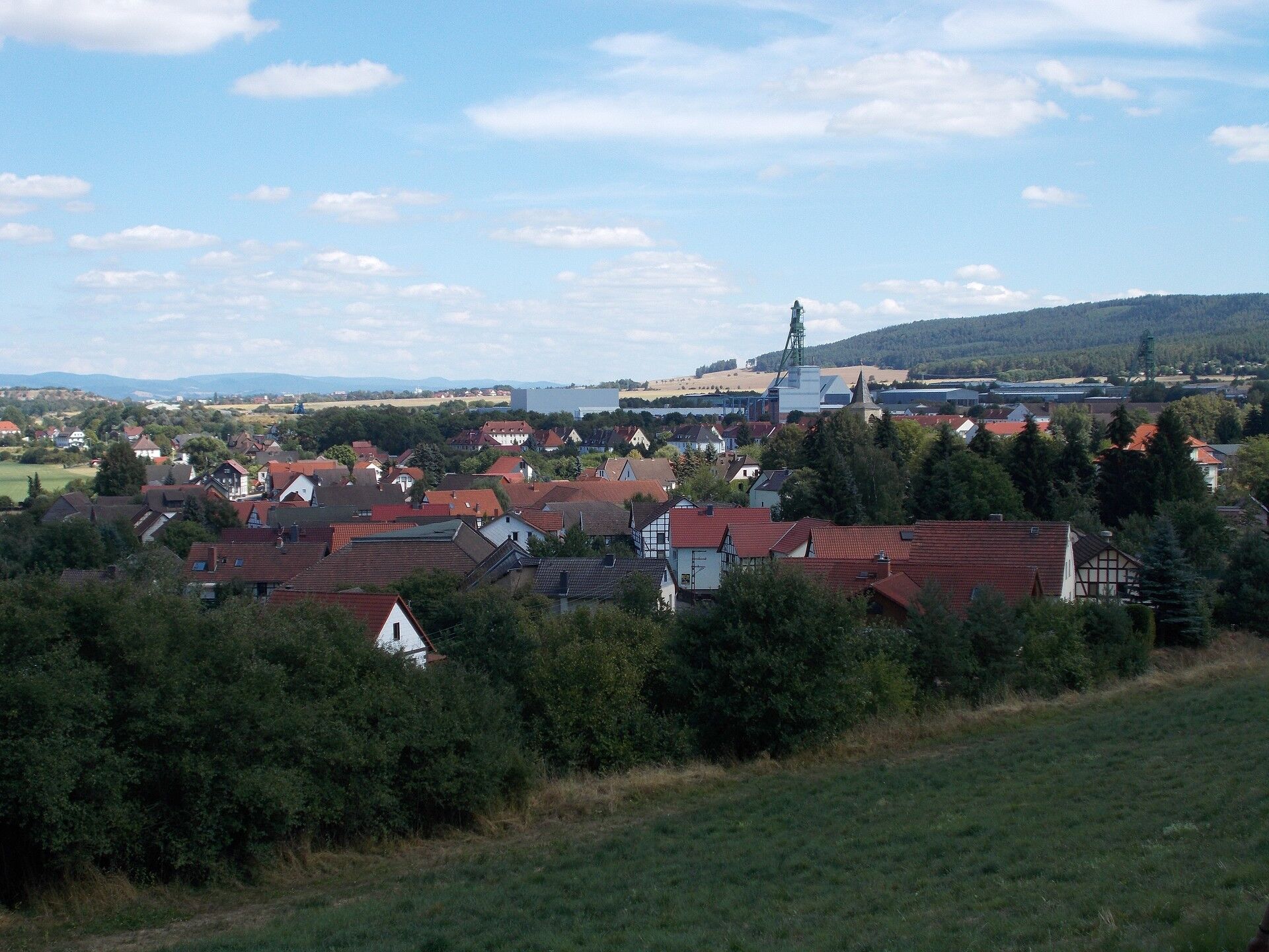
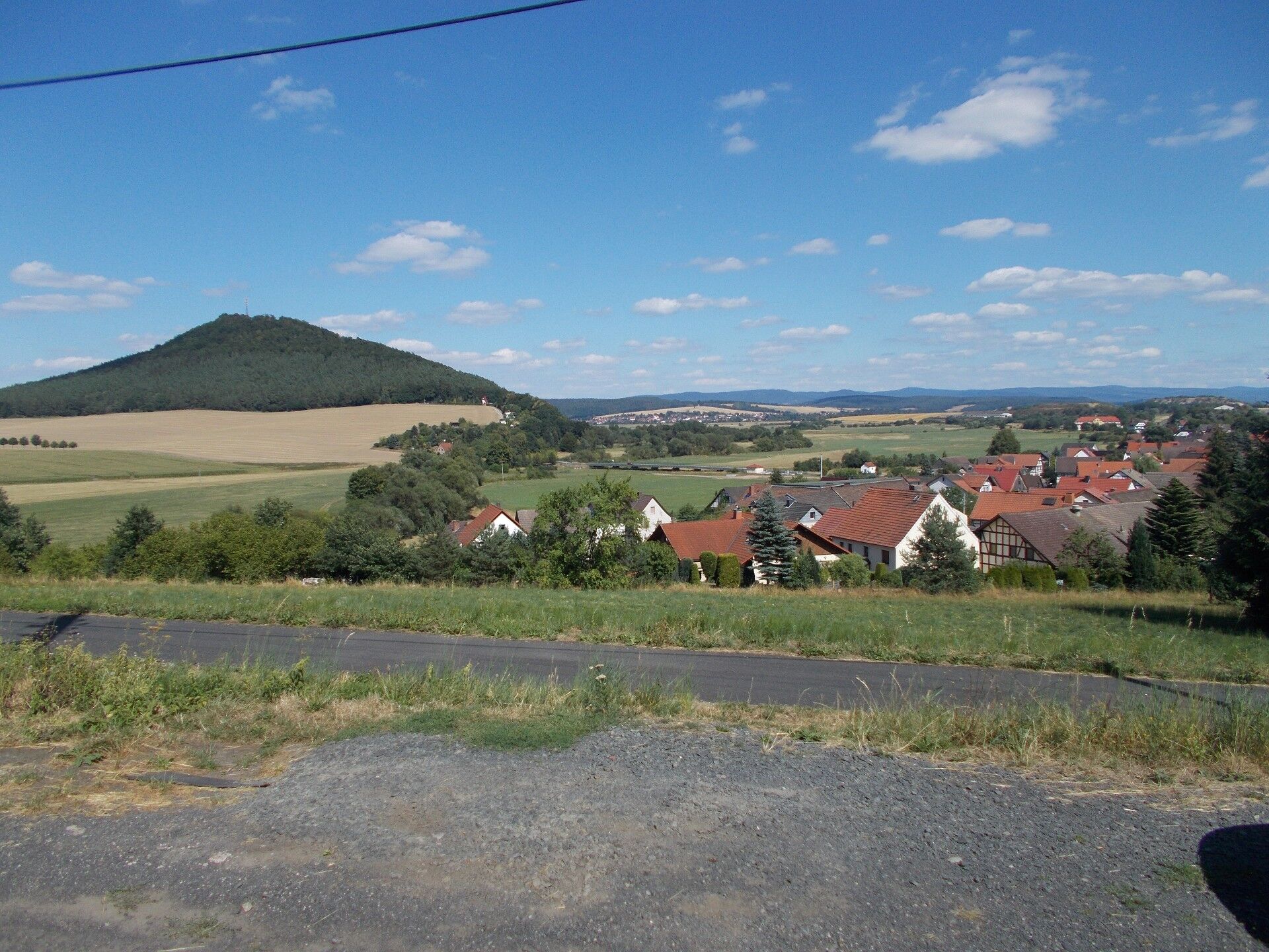
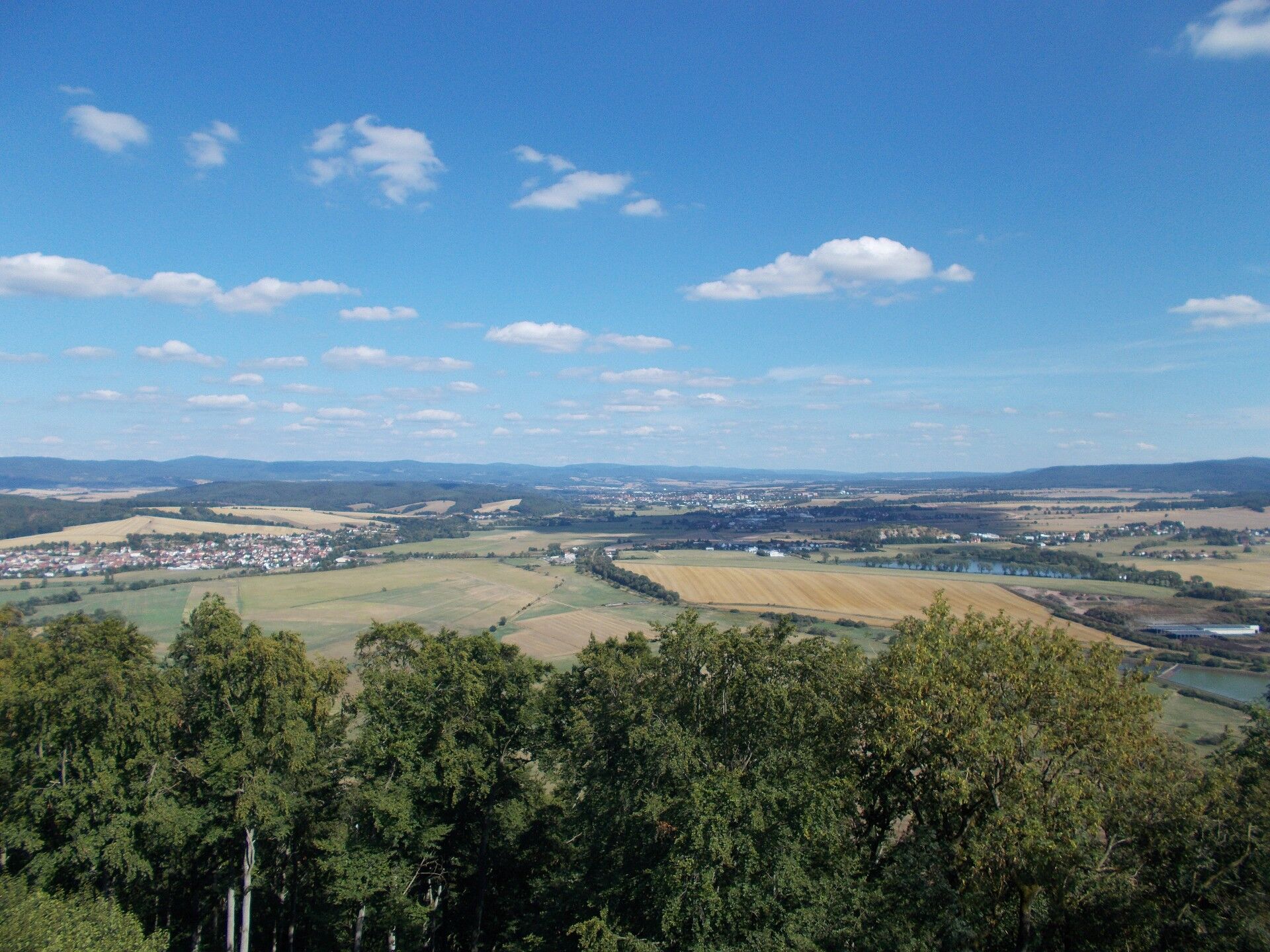
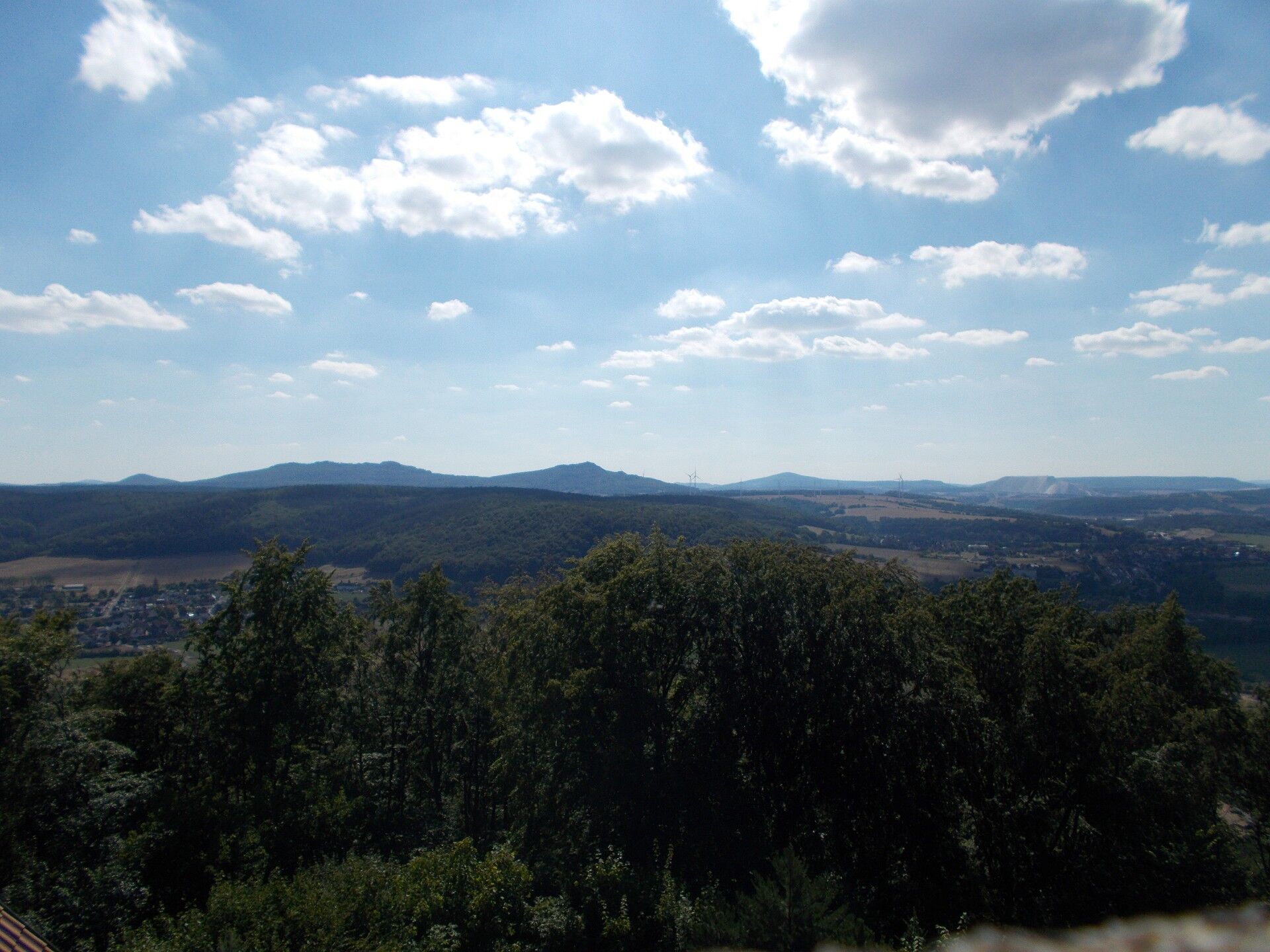

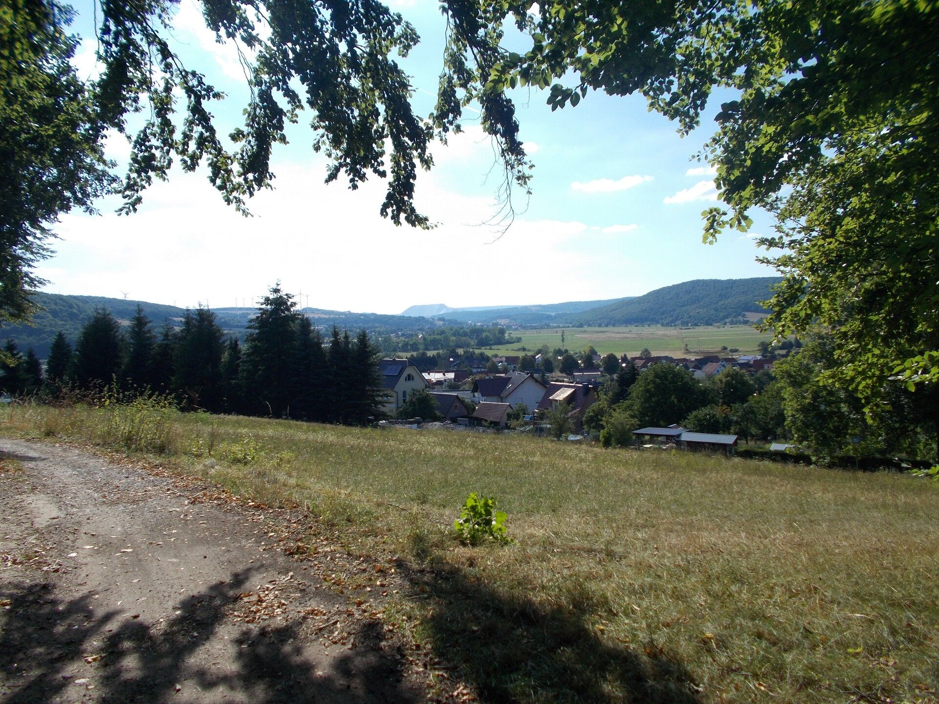
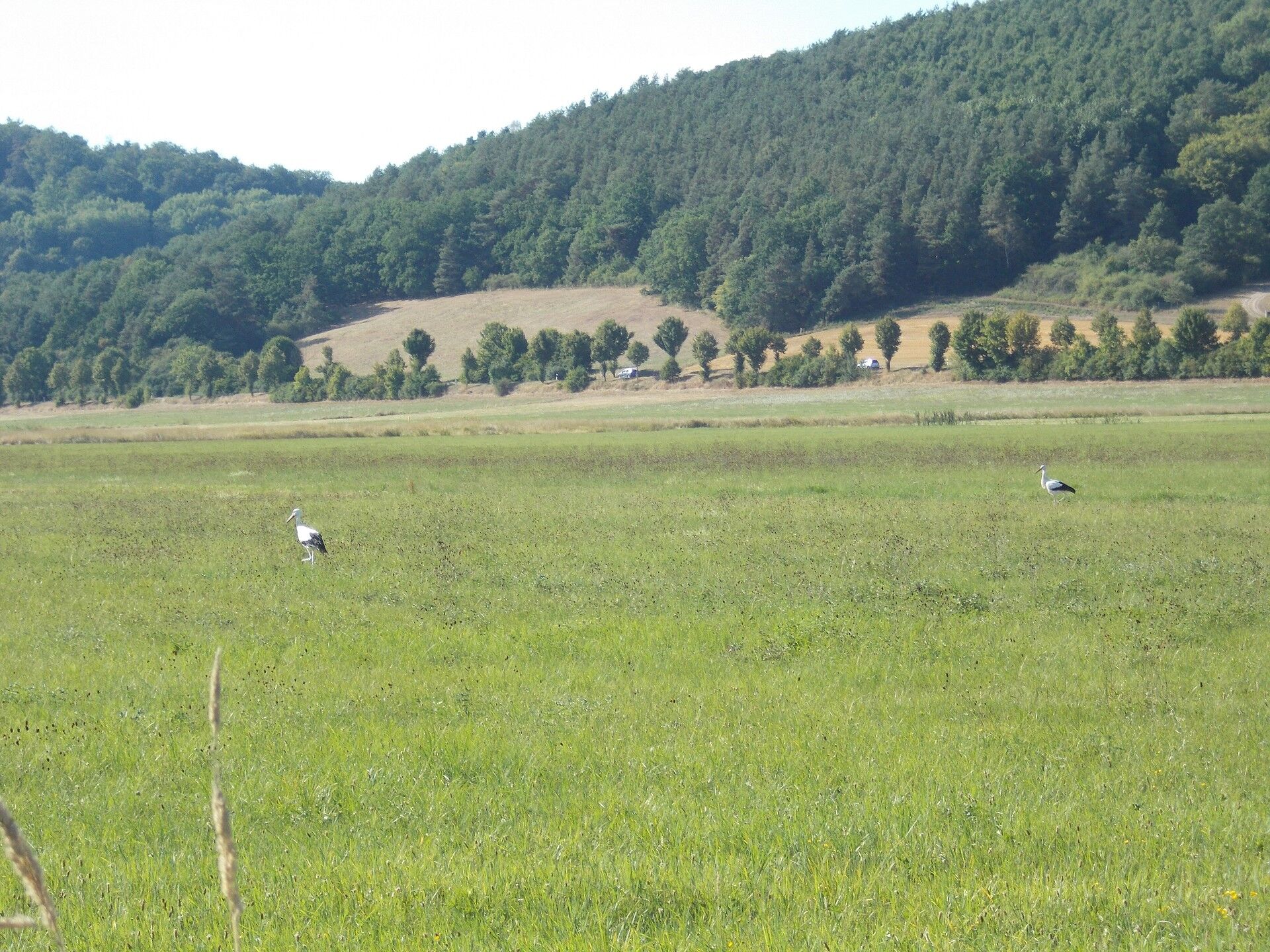
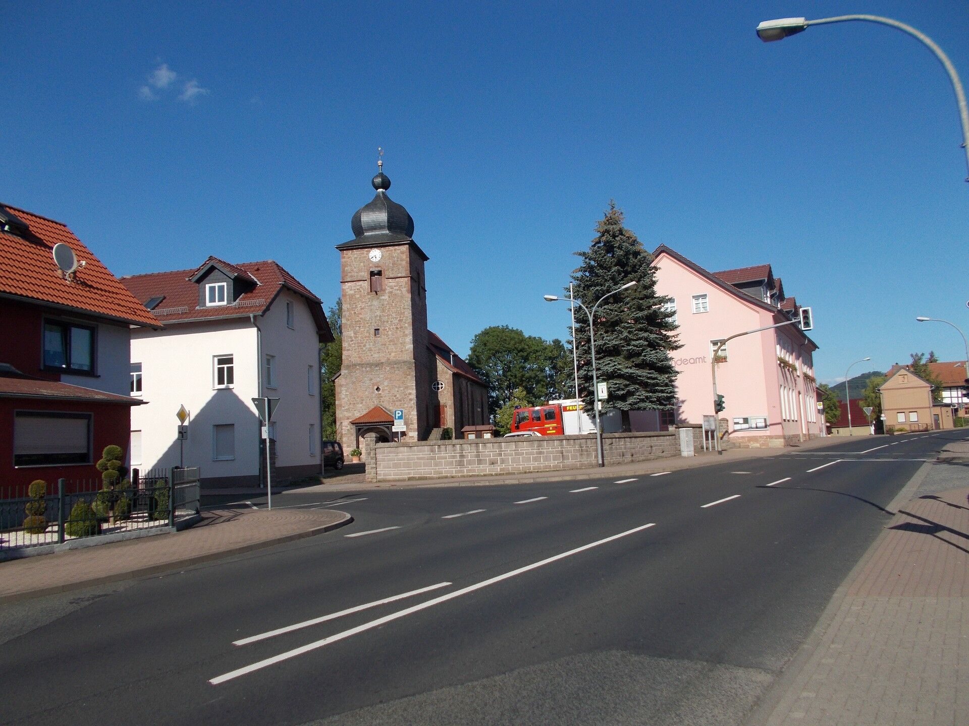
The hike begins in the town center at the village lime tree directly at Dietlas Castle. The trail leads out of the town center toward the federal road. The trail marking, a green dot on a white background, guides us to the district of Dorndorf. Upon reaching the road, turn left and continue to Berger Weg. This street goes to the edge of the forest. In the forest, you come to a crossroads where you turn left. This path leads directly to Dorndorf. In the village, turn into Dorfblick Street, then proceed to Hardtstraße, continue to Werksstraße up to Arnsberg. It is helpful to follow the trail marking of a white triangle on a green background. This marking accompanies us to Kieselbach and on the way back again to Dorndorf via the Werra meadows. From Arnsberg, walk about 800 meters on the Werra cycle path until you reach a forest path again. In the district of Merkers, take Dietlaser Weg to the federal road. Cross this road and leave the town by crossing the Werra river. After the bridge, turn right into a small garden colony. From here, it goes steeply uphill to the castle. The castle has a restaurant with a small hotel operation. The restaurant is usually open on weekends; during the week, prior arrangement is necessary. When the restaurant is open, it is sometimes possible to climb the tower to enjoy a beautiful view. Just climb 74 steps and enjoy the lovely view. After visiting the castle, it goes downhill to Kieselbach. Via Lindenstraße and Friedrich–Engels-Straße, you reach the Werra meadows. The hike continues over the Werra meadows parallel to the Werra river to Dorndorf. In the town center, you meet the trail marking green dot on a white background again. This path leads along the Felda river back to Dietlas.
Áno
Sturdy footwear
in Dietlas at the lime tree
Restaurant at Krayenburg open on weekends or during the week by appointment
Tourist activities at Erlebnisbergwerk Merkers with the gold treasure, registration required, allow enough time
Obľúbené výlety v okolí
-
4,0
Hiking - Stork Trail Bad Salzungen
svetloTematická trasa 5,89 km -
4,0
Thuringian long-distance cycle routes - 02 - Werra Valley Cycle Path - Stage 4: Bad Salzungen → Eisenach
strednáDiaľková cyklotrasa 77,0 km -
Circular hike - Frauensee - Thuringian Forest
svetloTuristika 8,90 km -
Hike - The freedom of the storks - Thuringia/Hesse
svetloTuristika 16,8 km -
Werra Wasser Wandern 4: Bad Salzungen - Vacha
strednáKajak / Kanu 21,5 km -
Werra Water Hiking 5: Vacha - Berka/Werra
strednáKajak / Kanu 23,5 km -
Thuringian long-distance cycle routes - 02 - Werra Valley Cycle Path
ťažkéDiaľková cyklotrasa 472,9 km -
Hike - Sallmannshäuser Rennsteig - from Ruhla to Sallmannshausen
strednáTuristika 28,1 km -
Werra-Eltetal Cycle Path
strednáCyklistika 35,6 km -
Circular hike - city route - Bad Salzungen
svetloTuristika 9,74 km

Turistika a stopovanie


Nenechajte si ujsť ponuky a inšpiráciu na ďalšiu dovolenku
Vaša e-mailová adresa bol pridaný do poštového zoznamu.