


Circular hike - Schiller hiking route - Rudolstadt - Thuringian Forest
It was a fateful detour that led Schiller on his way to Weimar to the quiet Rudolstadt.
In the house of the von Lengefeld family (Schiller House) he met his future wife Charlotte von Lengefeld and her sister...
It was a fateful detour that led Schiller on his way to Weimar to the quiet Rudolstadt.
In the house of the von Lengefeld family (Schiller House) he met his future wife Charlotte von Lengefeld and her sister Caroline von Beulwitz.
Here in September 1788, the first, although not very cordial, encounter with Goethe also took place. Schiller took lodging in nearby Volkstedt in the house of cantor Unbehaun. He walked almost daily back to the new old town.
The time spent with the two young women not only inspired his literary work, but also made the Rudolstadt summer of 1788 unforgettable for him.
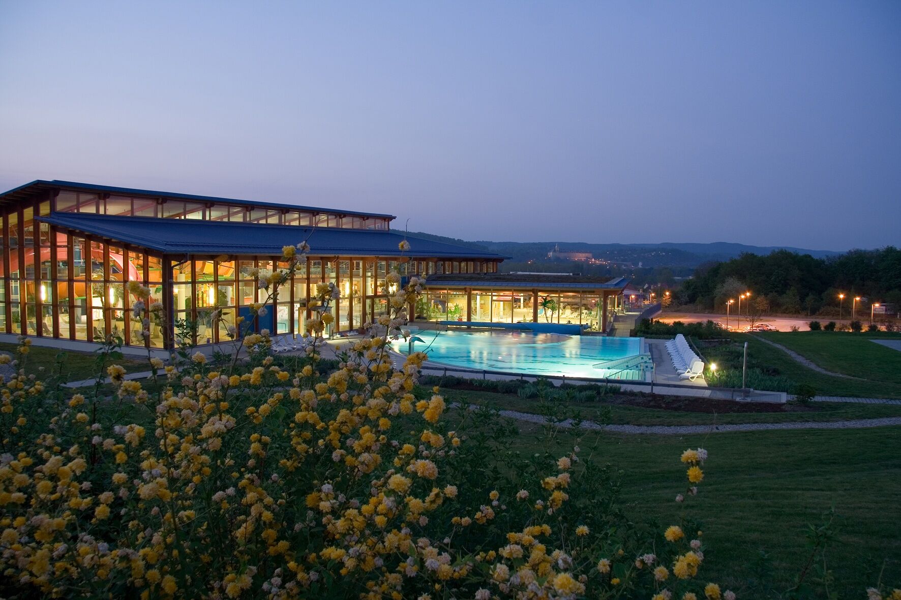
Whether this euphoric appreciation was inspired by nature or his future wife Charlotte von Lengefeld can be explored on the almost 12 kilometers long hike in and around Rudolstadt. The focus is on Schiller's places of residence and work, but also on the charming surroundings of Rudolstadt, such as the Hain, the village of Mörla, and the almost Italian-like Rudolstadt Riviera on the banks of the Saale.

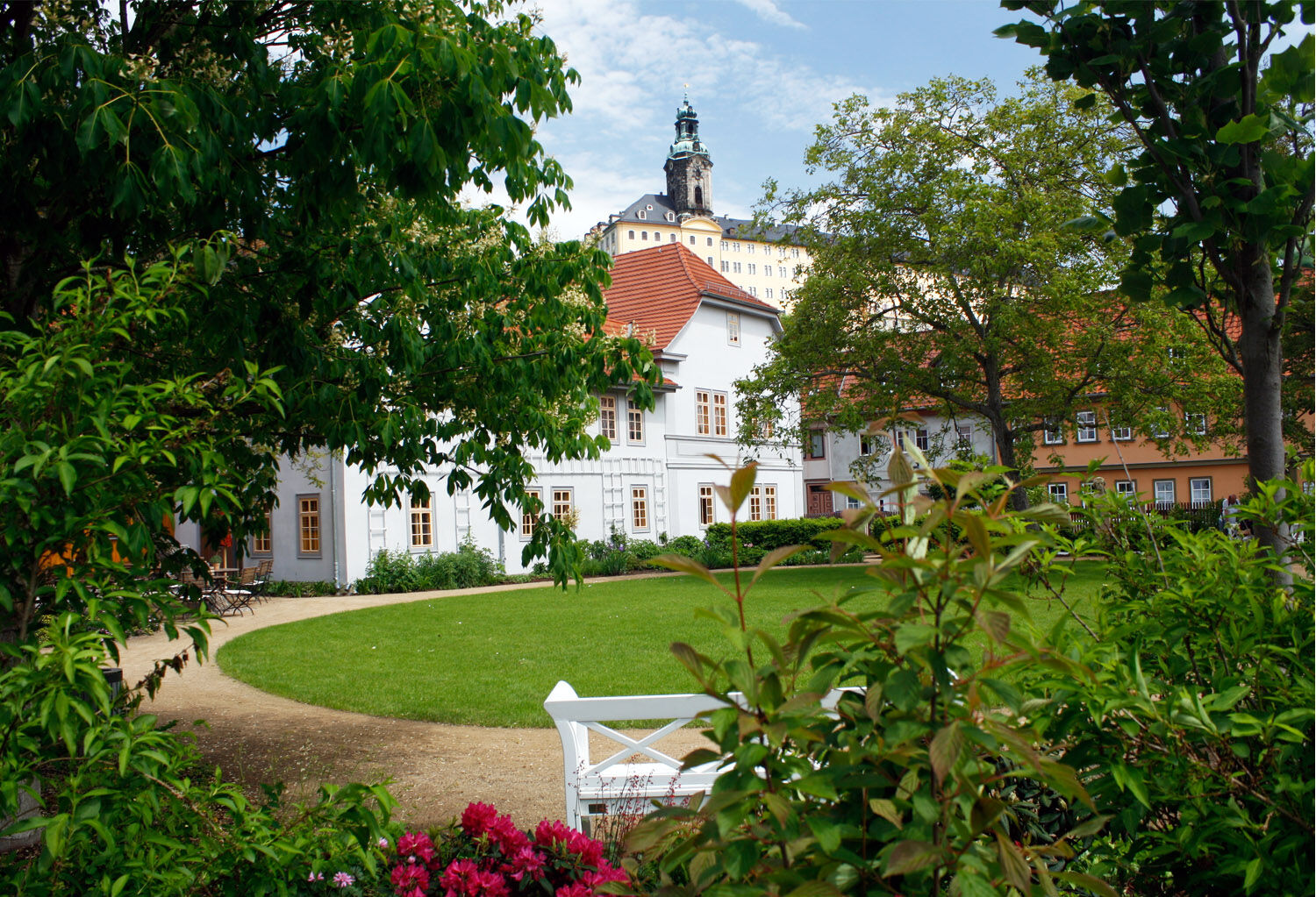
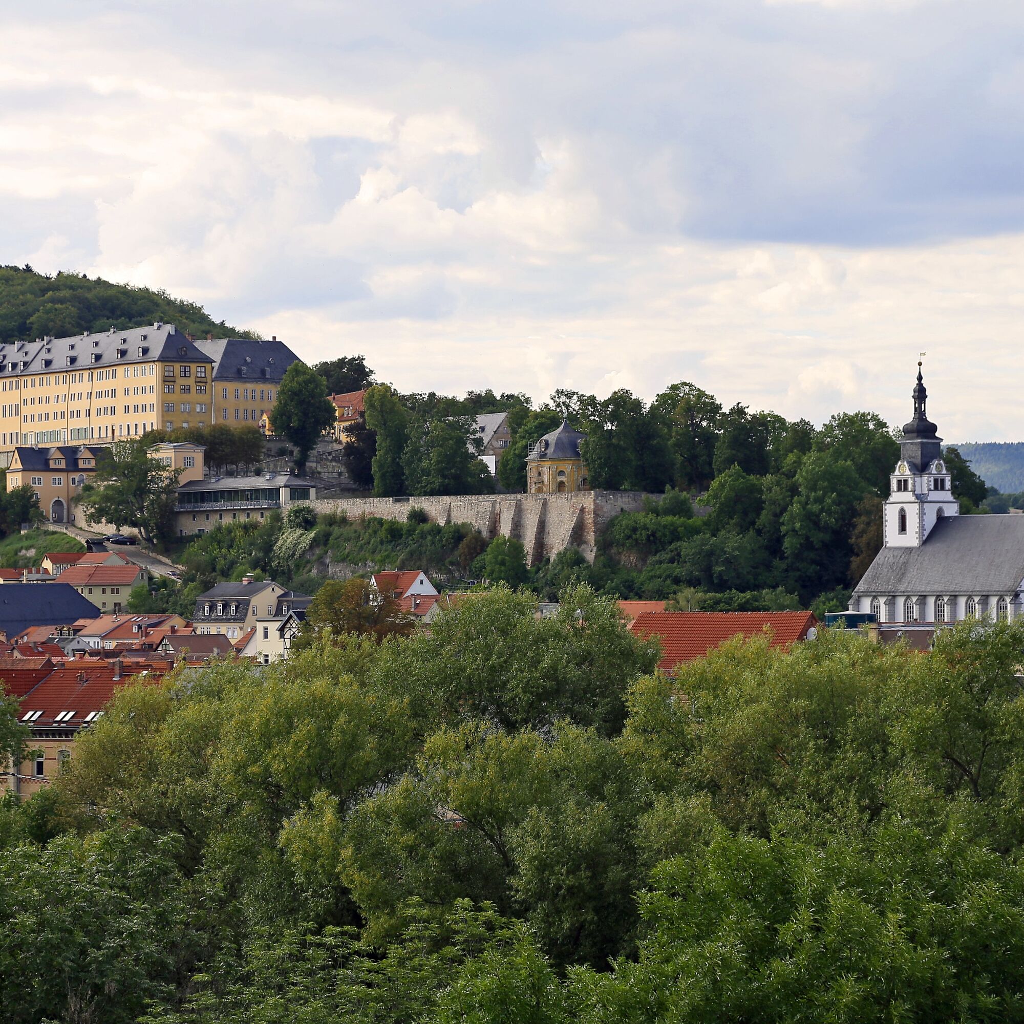
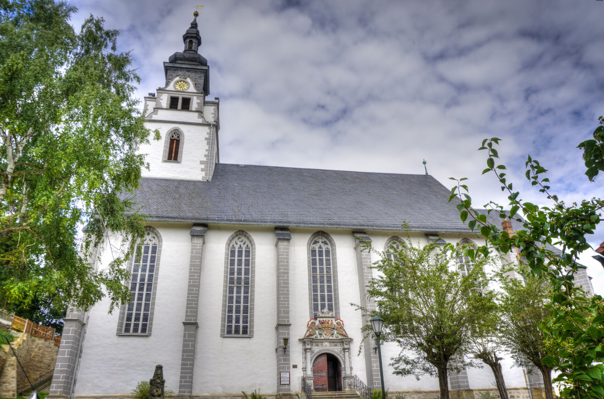
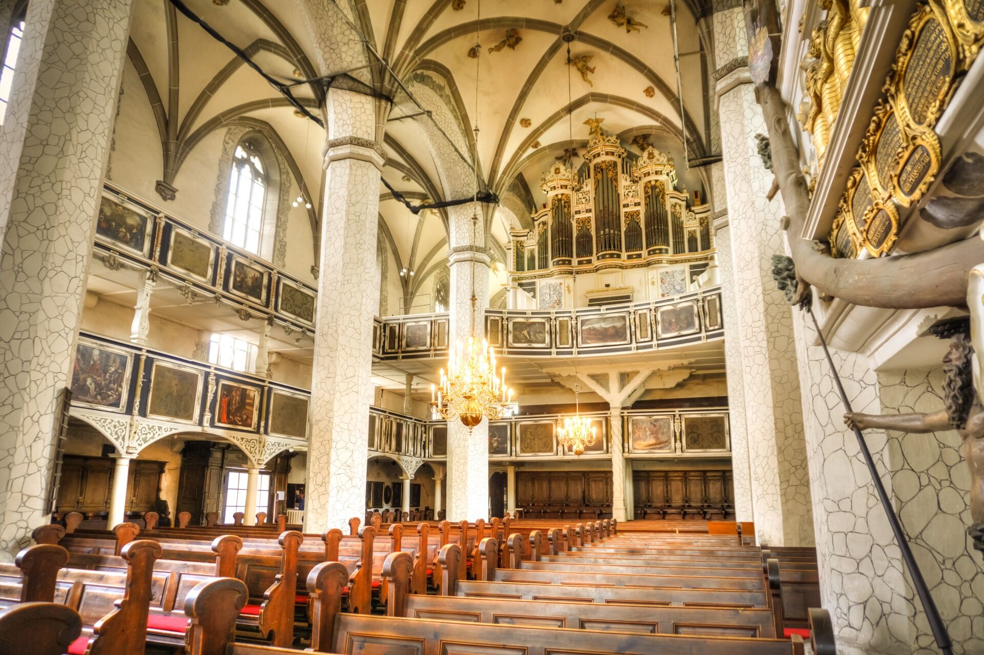
Festplatz Bleichwiese – Saale Bridge – Gartenstraße – Town Mill – Am Bache – House to the Bell – City Church "St. Andreas" – Heißenhof – Ascent to Heidecksburg via Schlossgarten and Schlosshof – Viewing point at the west wing of Heidecksburg – Jägerhof – Vorderer Hainweg – Mörla – Mörlagraben – Gebindstraße – Schlossstraße – Lutherstraße – Weinbergstraße – Bebelstraße – Schillerstraße with Schiller House – Fröbelhaus – Richard Wagner House – Craftsmen's Yard – Old Town Hall – Market (Market Fountain) – Pedestrian Zone – former inn "Zur Güldenen Gabel" – Galeria Rudolstadt – Theater – Saal Dam – Large Meadow – Gondola Station – Schiller's Height – Ascent towards Mühlberg – Cumbach – Powder Tower – through the gardens – Thuringian Farmhouses – through Heine Park back to Bleichwiese.
sturdy footwear
first aid kit
equipment reserve
GPS navigation device or smartphone
rainwear
Grund der Sperrung: Akute Steinschlaggefahr und mögliche Instabilität des Hangs
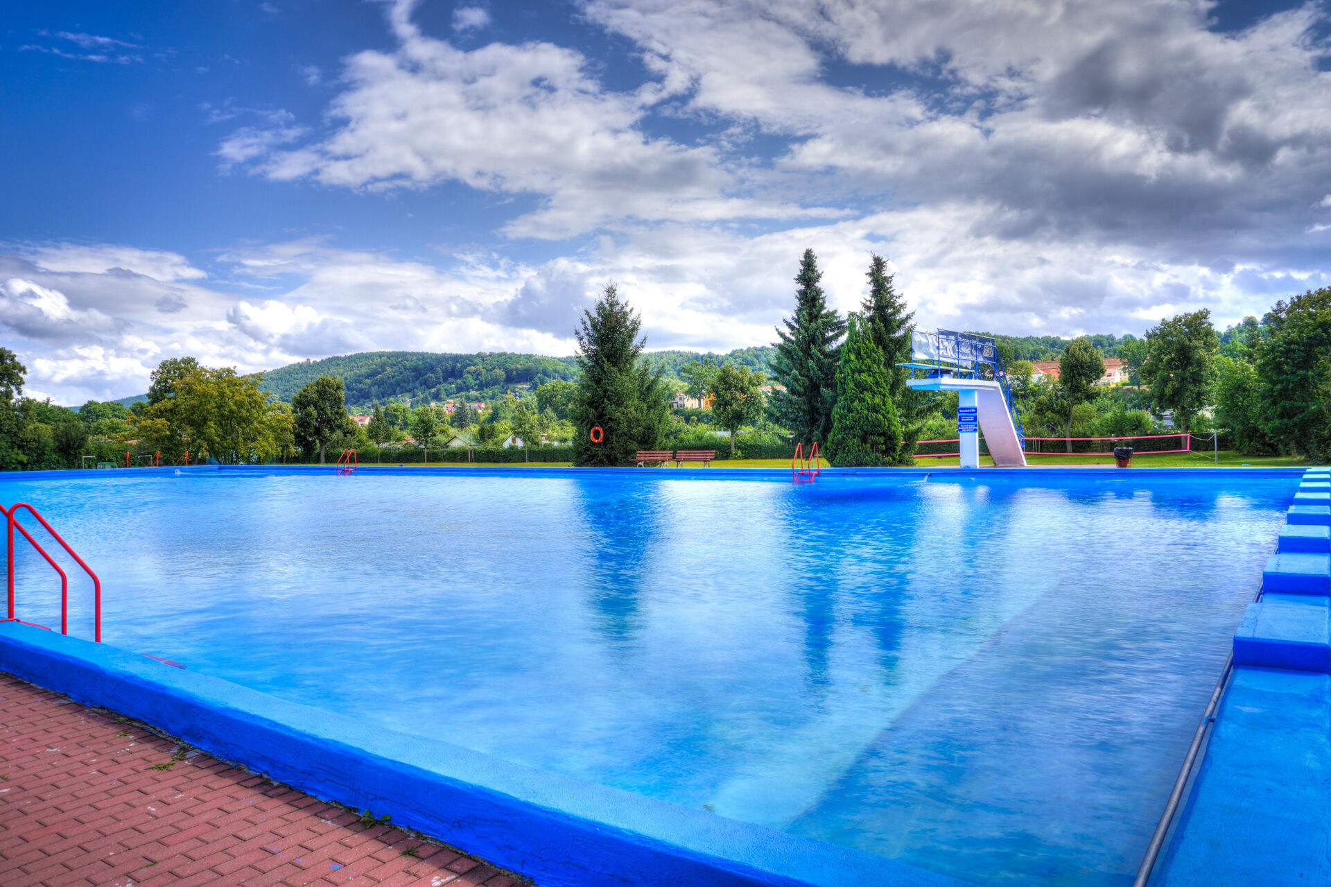
Betroffene Bereiche: Rudolstädter Riviera und Schillershöhe
Dauer: bis auf Weiteres (geologische Untersuchungen und Sicherungsmaßnahmen sind geplant)
Hinweis: Die Absperrungen sind unbedingt zu beachten, eine Nutzung ist derzeit nicht vertretbar
Coming from the A71 take exit 14b (Stadtilm) and continue on the B90n / L1048 to Rudolstadt
Rudolstadt is accessible by trains of the Deutsche Bahn. Use this link to plan your trip:
→ Arrival in Rudolstadt
Parking at the train station (Google Nav point)
Free parking Bleichwiese, except during festival events (Google Nav point)
Be sure to visit on the route:
Open-Air Museum Thuringian Farmhouses Rudolstadt Residence Castle Heidecksburg Schiller House RudolstadtObľúbené výlety v okolí
-
4,8
Circular hiking trail - "To the most beautiful viewpoints" - Thuringian Forest
strednáTuristika 12,8 km -
4,0
Circular route - “To the Strudel pots of the Schwarza” - Starting point at the Chrysopras weir - Bad Blankenburg
strednáTuristika 9,01 km -
Circular hike - "Friedrich Fröbel" - Bad Blankenburg
ťažkéTuristika 14,4 km -
Circular trail - Saugartenpfad - Hiking start at Chrysopraswehr - Bad Blankenburg
strednáTuristika 8,39 km -
5,0
Kulm route
strednáTuristika 9,39 km -
3,0
Circular route - "On archaeological trail of King Otto I." - Saale region
svetloTuristika 6,55 km -
Panoramaweg Schwarzatal - Stage 1 Schwarza to Schwarzburg - Thuringian Forest
ťažkéTuristika 15,4 km -
4,0
Circular hike - "Round route 3" - start and finish country hotel Edelhof Kolkwitz - Thuringia
strednáTuristika 9,42 km -
5,0
Bachtälchen Path - No. 1
svetloTematická trasa 2,96 km -
4,0
Terrain therapy trail Saalfeld - No. 5
strednáTematická trasa 5,31 km
Turistika a stopovanie


Nenechajte si ujsť ponuky a inšpiráciu na ďalšiu dovolenku
Vaša e-mailová adresa bol pridaný do poštového zoznamu.