







Circular route - TOP 3 - hike with a view - Masserberg - Thuringian Forest
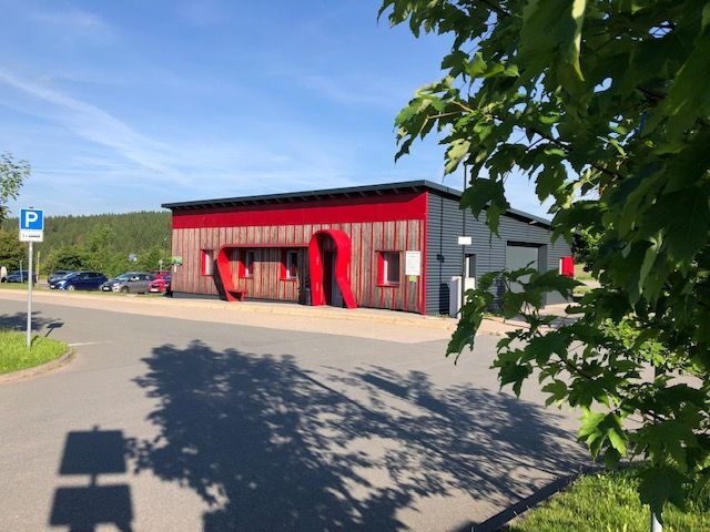
You start at the Rennsteighaus in Masserberg, where you can conveniently park your car directly at the start of the circular route.
The route goes over the Rennsteig towards the toboggan run on the left...
You start at the Rennsteighaus in Masserberg, where you can conveniently park your car directly at the start of the circular route.
The route goes over the Rennsteig towards the toboggan run on the left side. The first section is also for a short part the planet trail. At the Bühringshütte stay on the Rennsteig and follow it to the Ersteberg hut.
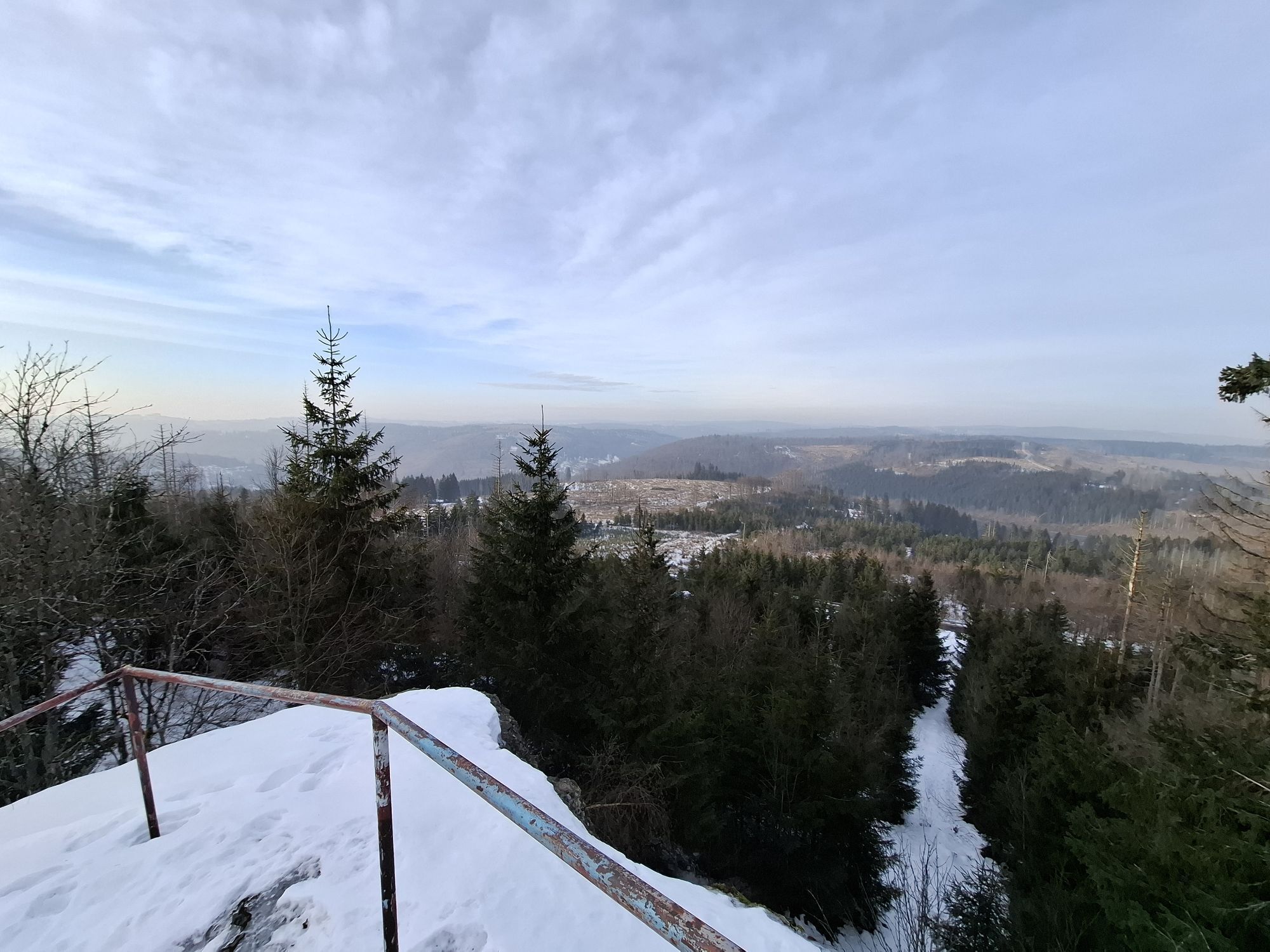
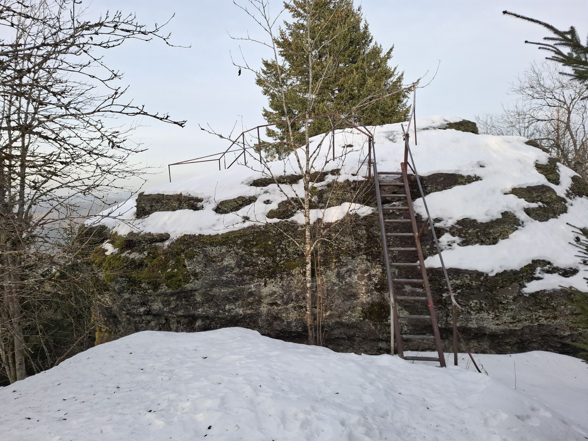
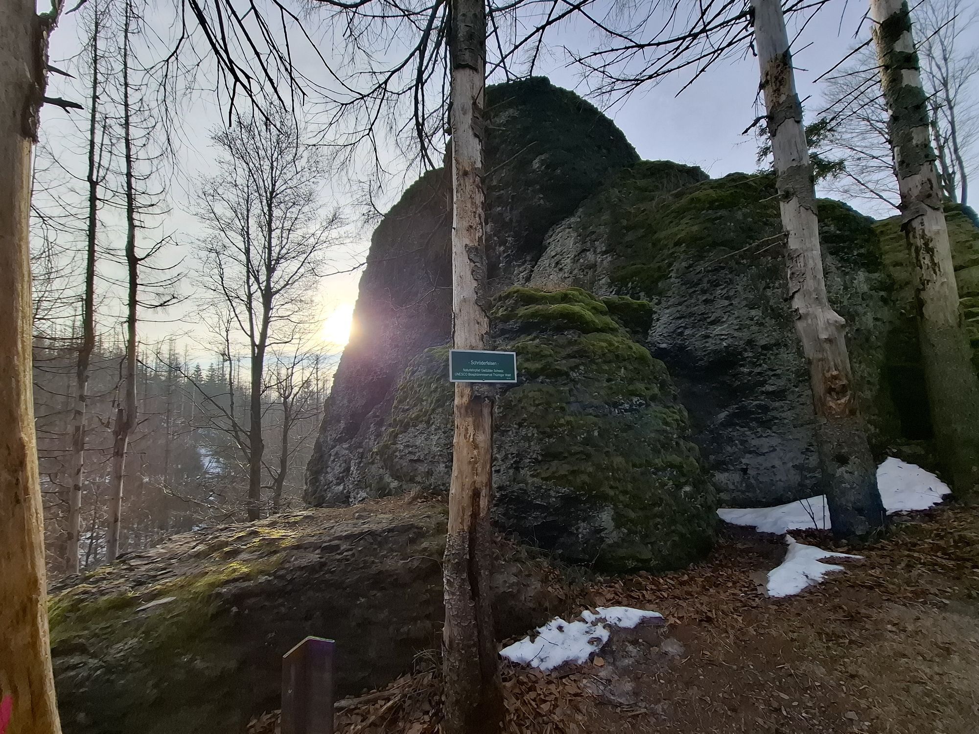
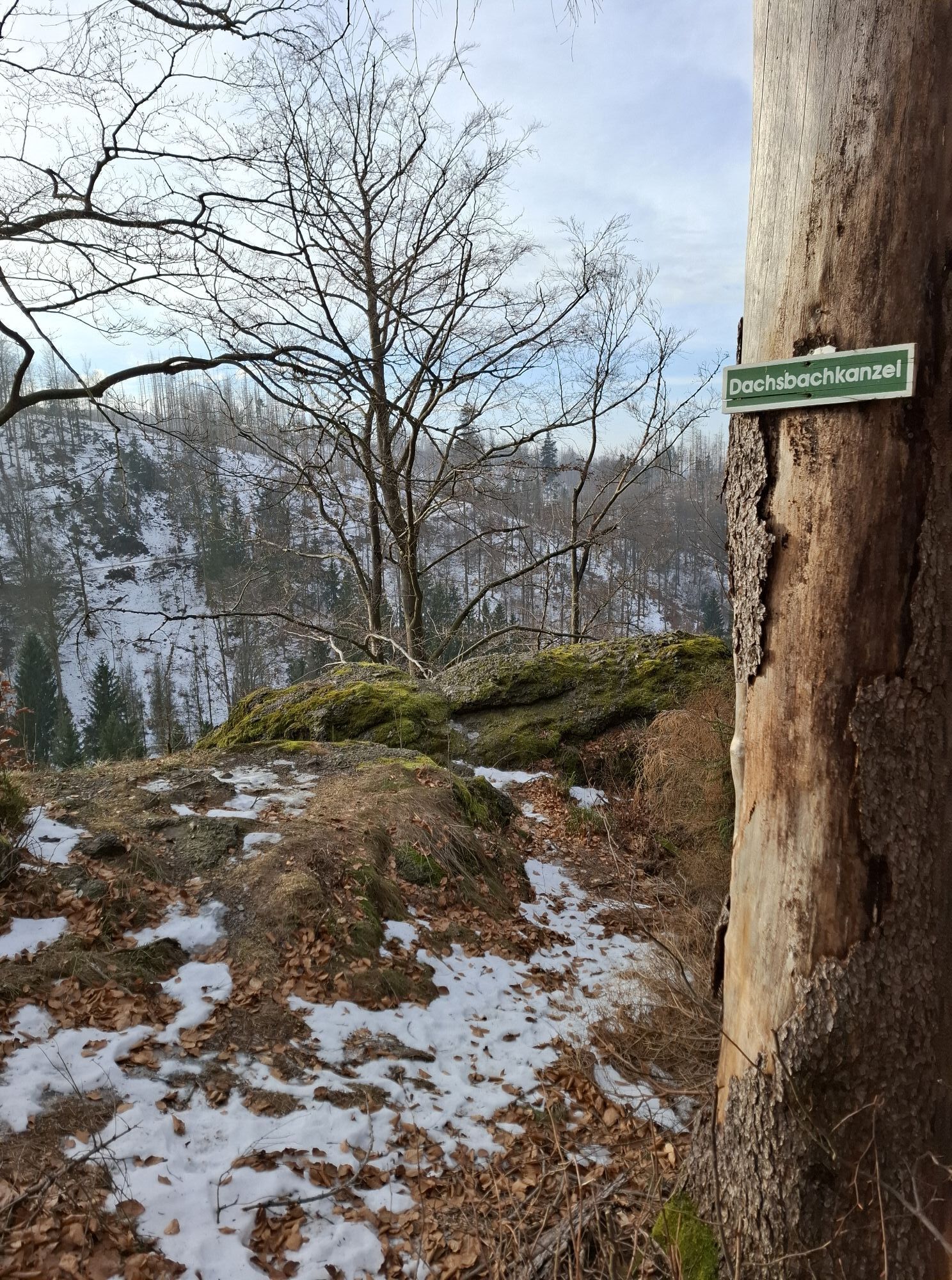
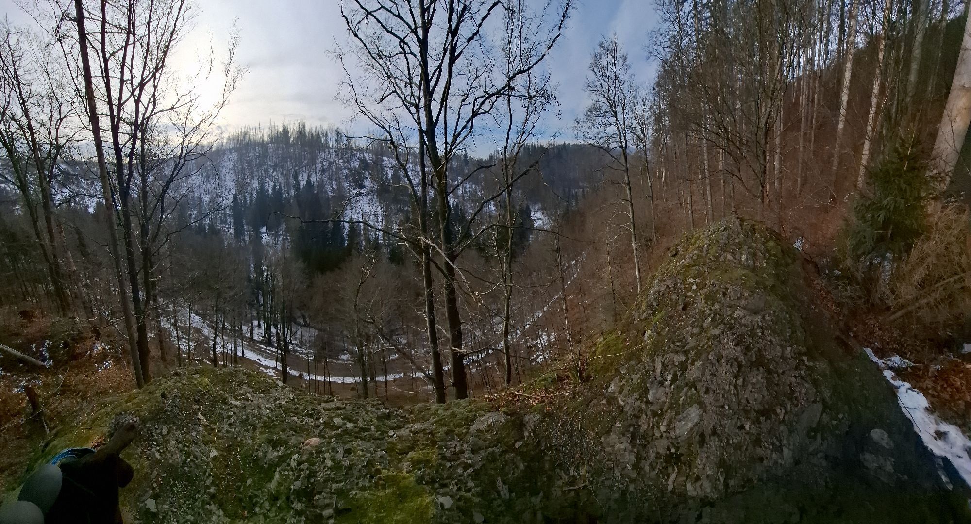
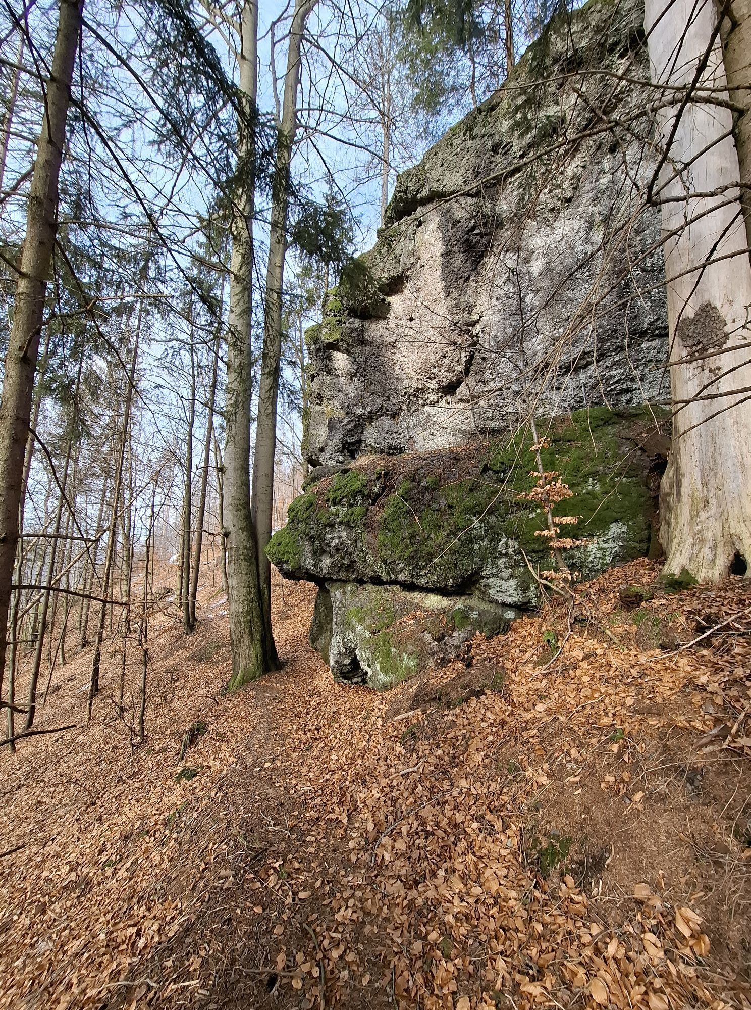
There you leave the Rennsteig and follow the meadow path further to Langertfelsen, with a great distant view over the Rennsteig. You are now on the Naturlehrpfad Gießübler Schweiz. After 200 m you cross the road (beware the crossing is in a curve), opposite the nature trail goes left on a signpost onto a narrow path to Nadelöhr, the war sign of Gießübel. A little tip: when you stand at the Nadelöhr rock, make a wish, keep it to yourself and crawl through the hole in the rock — it is said the wish will come true. From there you also have a view to the Heubach ski arena. The nature trail continues downhill along the hiking path past the Schröderfelsen, at the Neuntal junction to the Dachsbachkanzel, another striking rock of the Naturlehrpfad Gießübler Schweiz. Having reached Kessel, you leave the nature trail and follow the wide hiking trail uphill.
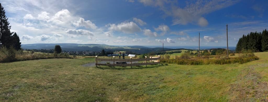
On the right side you can already see the Heubach ski arena; follow the path to the valley station. From here it goes over a meadow path at the forest edge up the ski slope to the Heubach heights, from where you have wonderful views over the beautiful cultural landscape. The hiking path continues right over the meadows to the forest edge of Höheberg with 780 m.
At the end of the forest you are already in Schnett; passing the sports field you go up to Simmersberg to the Schnett youth hostel. Here as well you have a beautiful panoramic view to the Coburg region. The hiking path now goes downhill over meadows to Schnett. At the end of the meadows keep left and follow the hiking path past the Hotel Restaurant Frankenblick. Be careful crossing the street and follow the path Ferienhausgebiet Bärenhecke to the forest edge.
From there it goes through the forest past the former Schnett swimming pool to the Dreispitz inn. A small section parallel to the street, shortly thereafter it goes again right through the forest. Past the Heubach meadows with a great view to the chapel of Heubach. The hiking path leads through the town Heubach on the street „Zu den Wiesen“ – right over the “Hesenecke” – left on Rudolf-Breitscheit street – right into Kirchbergweg to the church. Past the church over the meadow path towards the open-air stage Heubach. Over Rudolf-Breitscheid street past the sports center and school country home Heubach it goes on the planet trail back to Masserberg to the starting point of our hike.

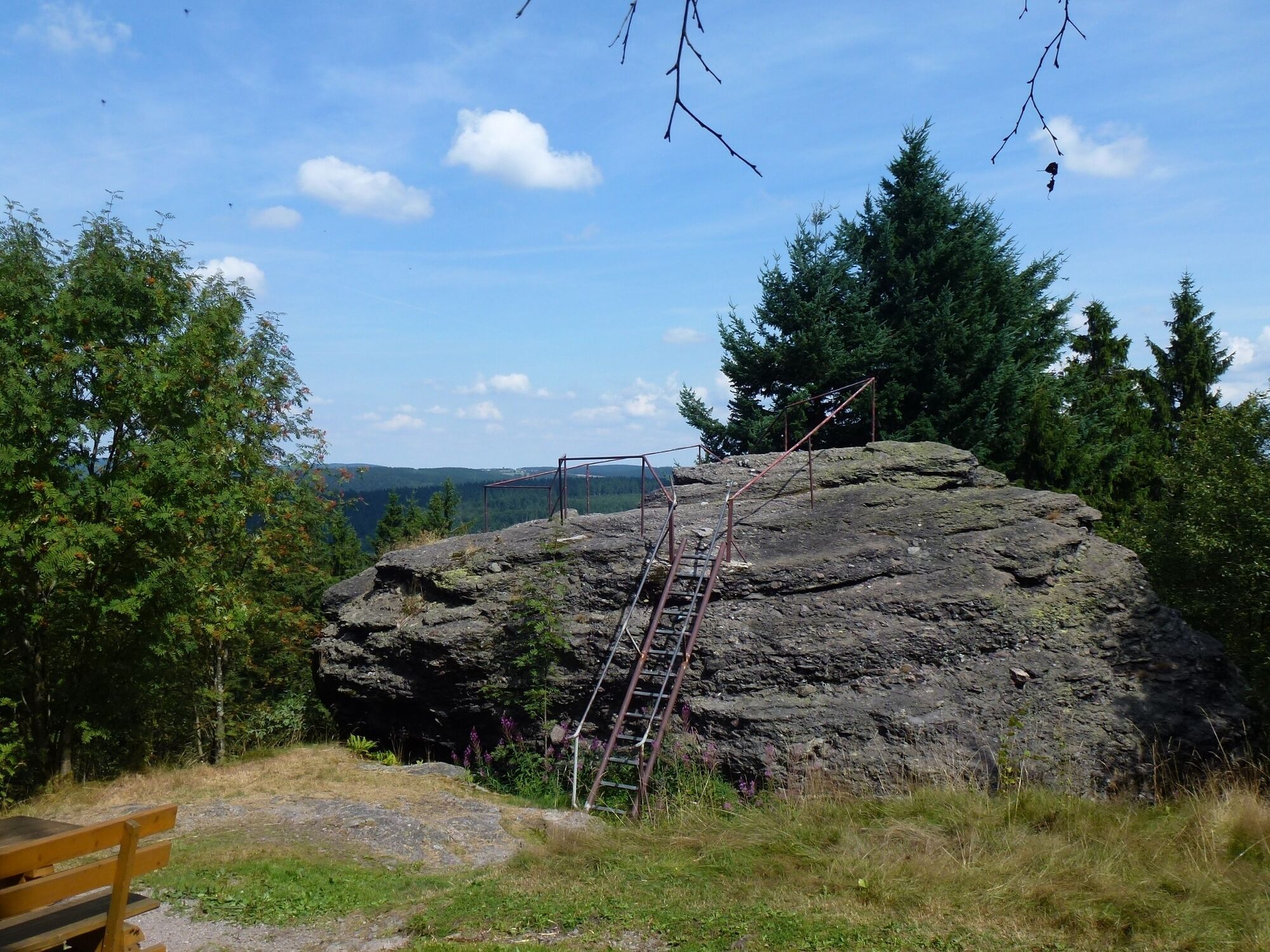
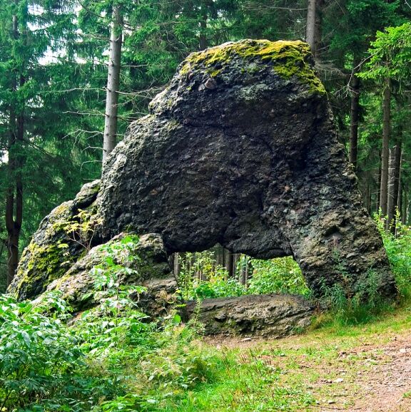
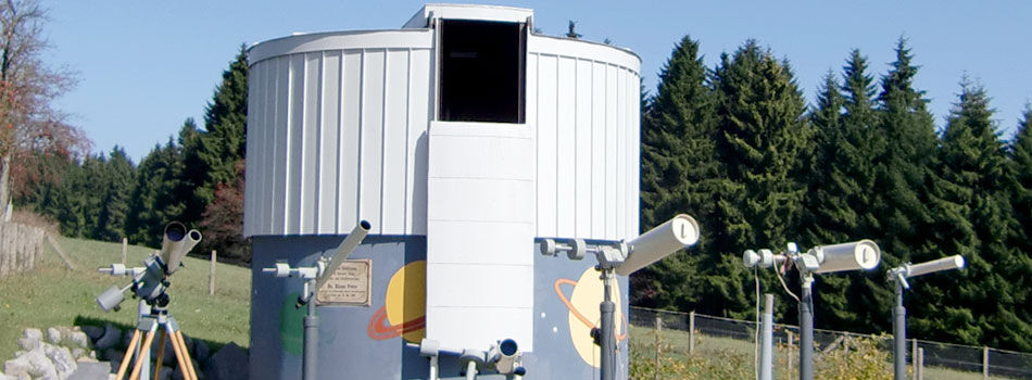
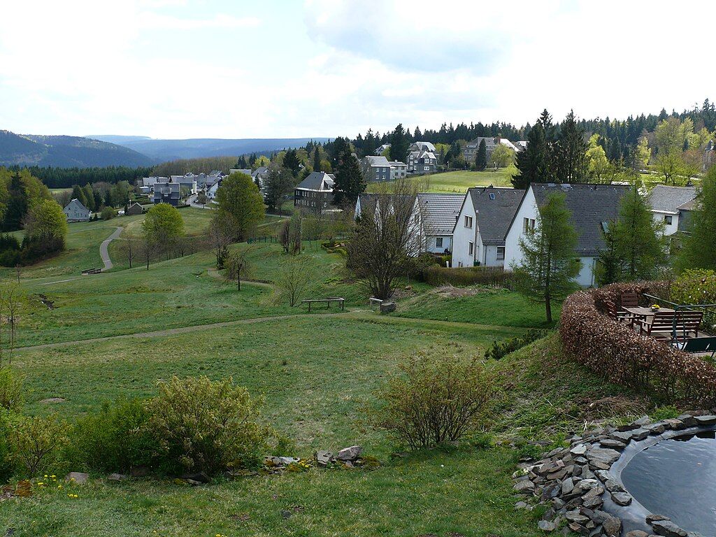
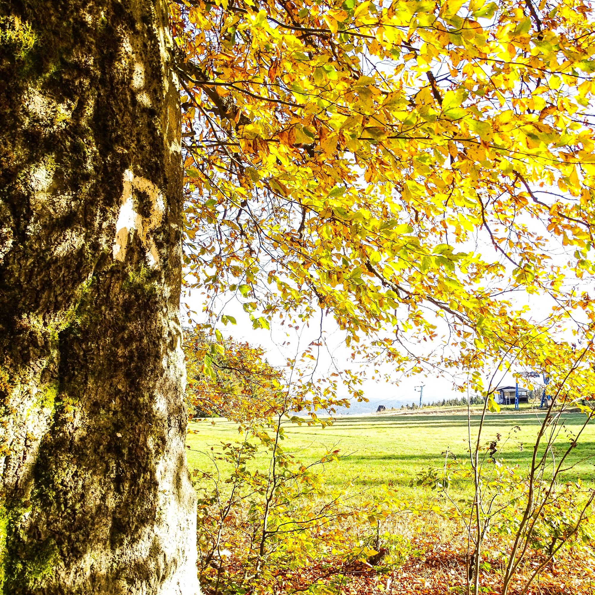
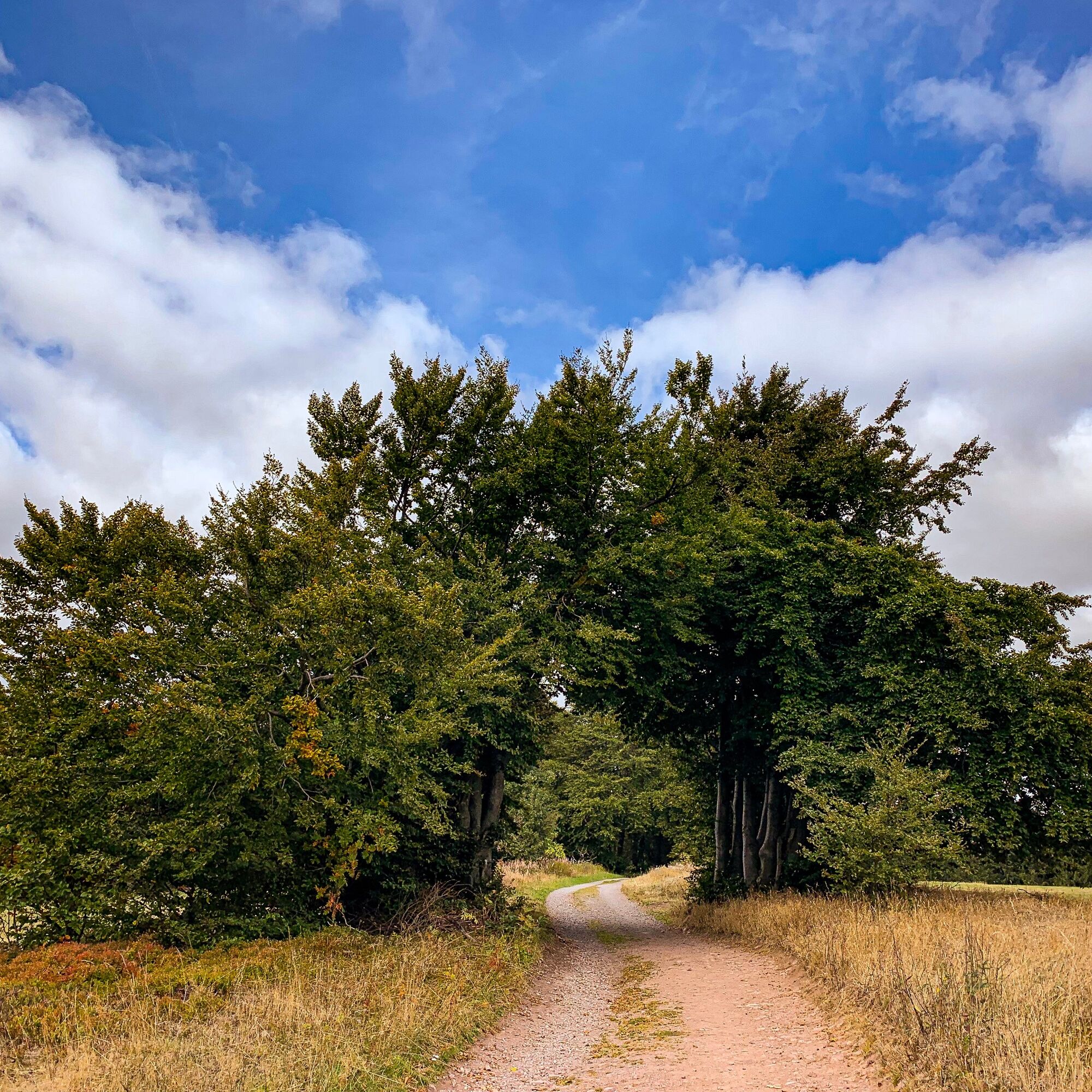
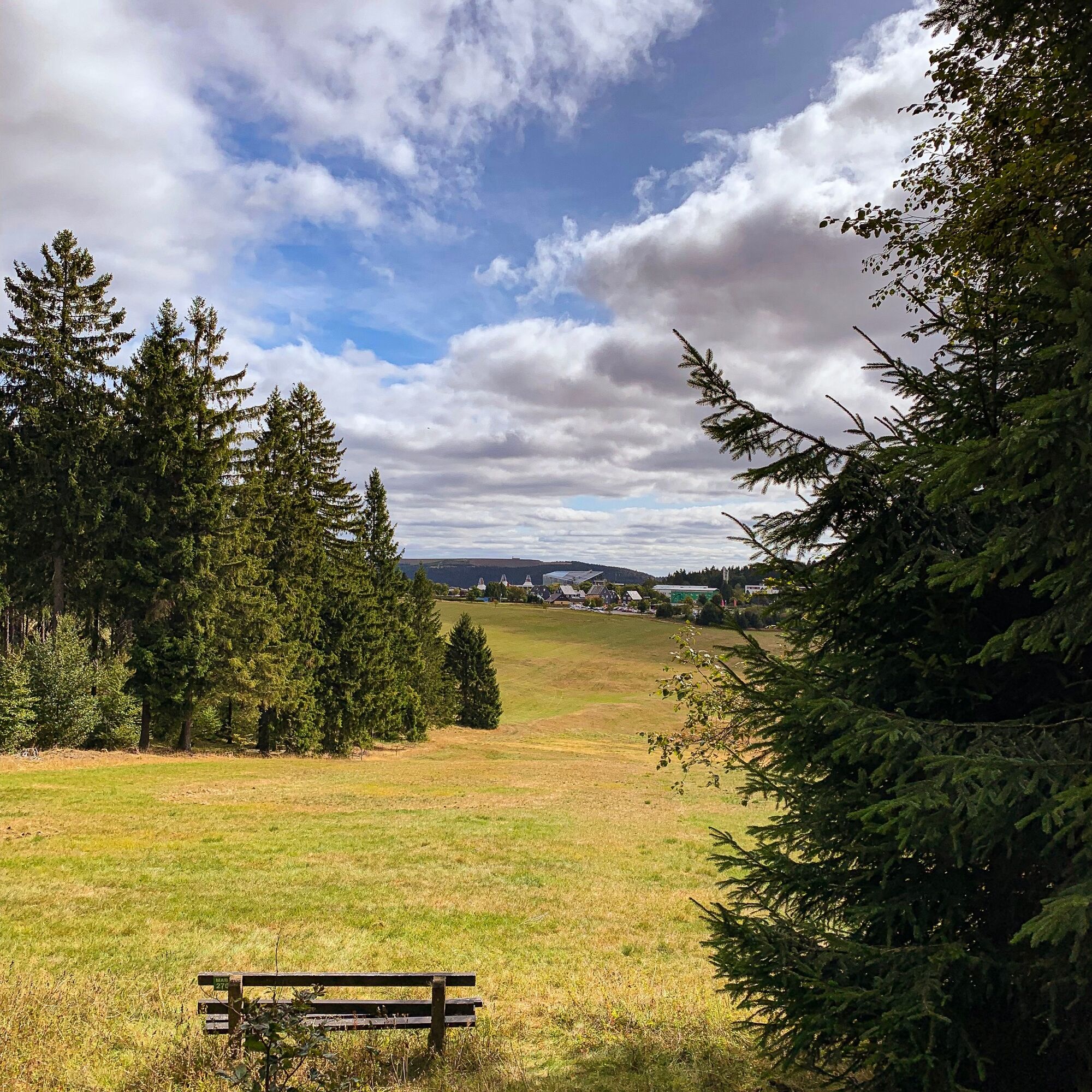
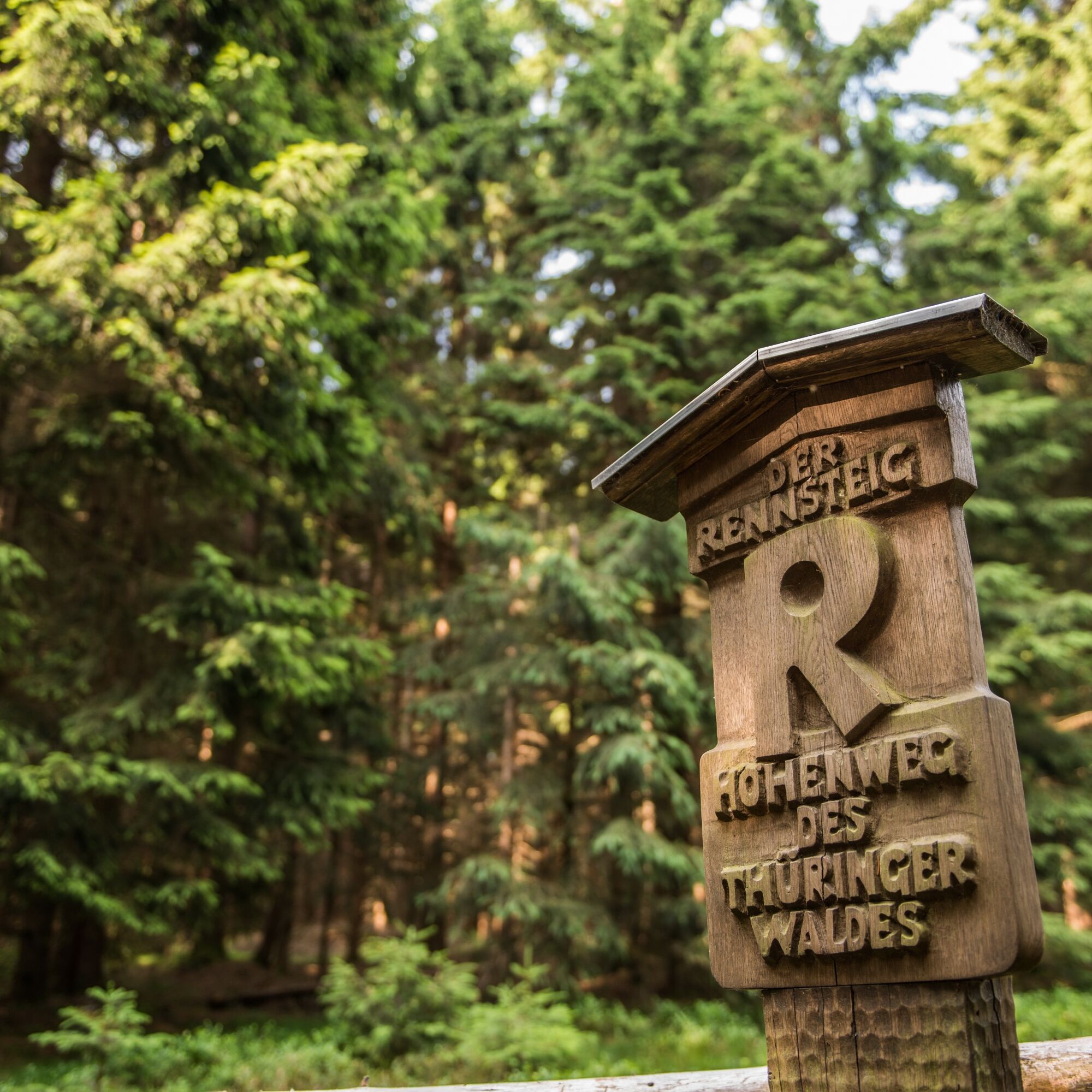

Masserberg Rennsteighaus - Rennsteig - Ersteberghütte - Langertfelsen - Naturlehrpfad Gießübler Schweiz - Nadelöhr - Schröderfelsen - Dachsbachkanzel - Kessel - Valley station Ski Arena Heubach - Mountain station Ski Arena Heubach - Höheberg - Sports field Schnett - Simmersberg Youth Hostel - Schnett - Dreispitz - Heubach - Planet trail - Rennsteig - Masserberg Rennsteighaus
Áno
sturdy footwear
rainwear
drink supply
first aid kit
GPS navigation device or smartphone
Be aware of typical forest hazards! Walking is at your own risk! We wish you a relaxing and eventful hike!
Coming from the A73, exit 4 (Schleusingen) and continue on L3004 towards Schmiedefeld. In the town Hinternah, turn right over the railway crossing onto Waldauer Straße towards Waldau. There turn left towards Masserberg. After about 3 km you reach Schönbrunn, continue on the road to Gießübel; there turn right in the town center and follow the road to Schwalbenhaupt; there turn right towards Masserberg. In the center of Masserberg, turn right and before leaving the town enter the parking lot Rennsteig at Rennsteighaus Masserberg.
You can reach Masserberg by DB trains to Suhl station, from there with bus line 203 directly to Masserberg.
Use the following link to the Deutsche Bahn travel planner for your journey:
→ Arrival at Masserberg
Získajte prehľad
Vždy naživo na mieste s viac ako 9 500 webovými kamerami. bergfex Ako používateľ Pro si teraz môžete pozrieť príslušné webové kamery pre mnohé zájazdy v aplikácii zájazdy z. Môžete si tak priamo prezerať aktuálne podmienky.
Obľúbené výlety v okolí
-
5,0
Naturlehrpfad Gießübler Schweiz
strednáTuristika 7,99 km -
3,0
Circular hike - "4 ponds hike" Neustadt am Rennsteig - Thuringian Forest
ťažkéTuristika 12,6 km -
3,8
Rundweg Talsperre
strednáCyklistika 14,5 km -
The Rennsteig - long-distance hiking trail from Hörschel to Blankenstein - Thuringian Forest
ťažkédiaľková pešia trasa 169,0 km -
5,0
Circular hiking route - TOP 1 - Werra Source - Masserberg - Thuringian Forest
strednáTuristika 5,94 km -
5,0
Rundtour Staudamm
svetloTuristika 3,91 km -
5,0
Circular hike - To the Schönbrunn Dam - Frauenwald
strednáTuristika 15,1 km -
Circular route - "When Rennsteig meets the Schwarzatal panorama path" - Limbach
strednáTuristika 9,68 km -
5,0
Circular hiking trail - Dwarf trail Frauenwald - Thuringian Forest
svetloTuristika 4,02 km -
3,0
Circular route - Panorama route Stützerbach - Terrain course TK 4
strednáTuristika 10,4 km
Turistika a stopovanie


Nenechajte si ujsť ponuky a inšpiráciu na ďalšiu dovolenku
Vaša e-mailová adresa bol pridaný do poštového zoznamu.





