



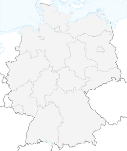


Elster Pearls Trail – Stage 5
Start: Berga / Elster (Brandhausplatz)
Destination: Neumühle / Elster (municipal office)
Distance: 10.51 km
Elevation gain: 670 m
Walking time: 3.5 to 4.5 hours
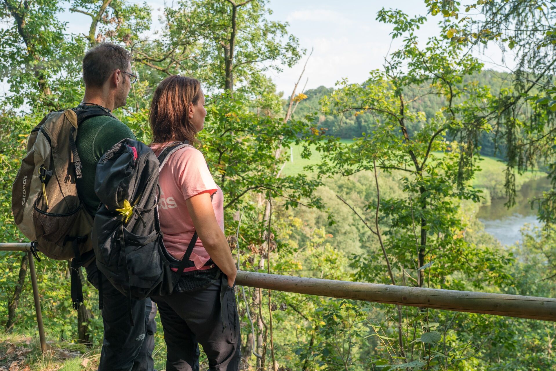
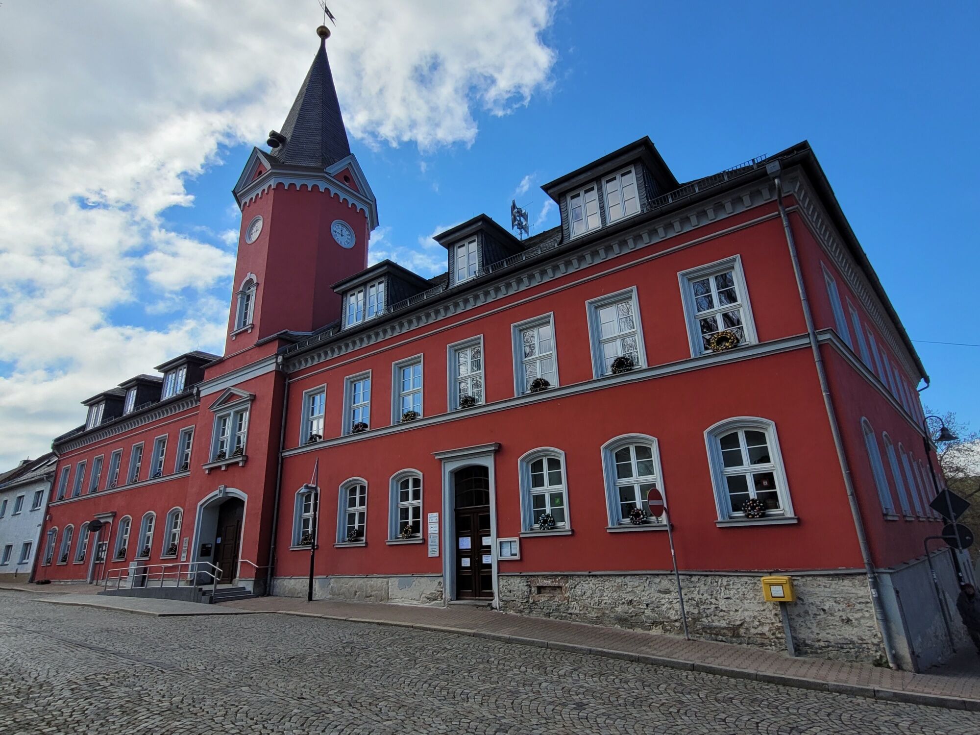
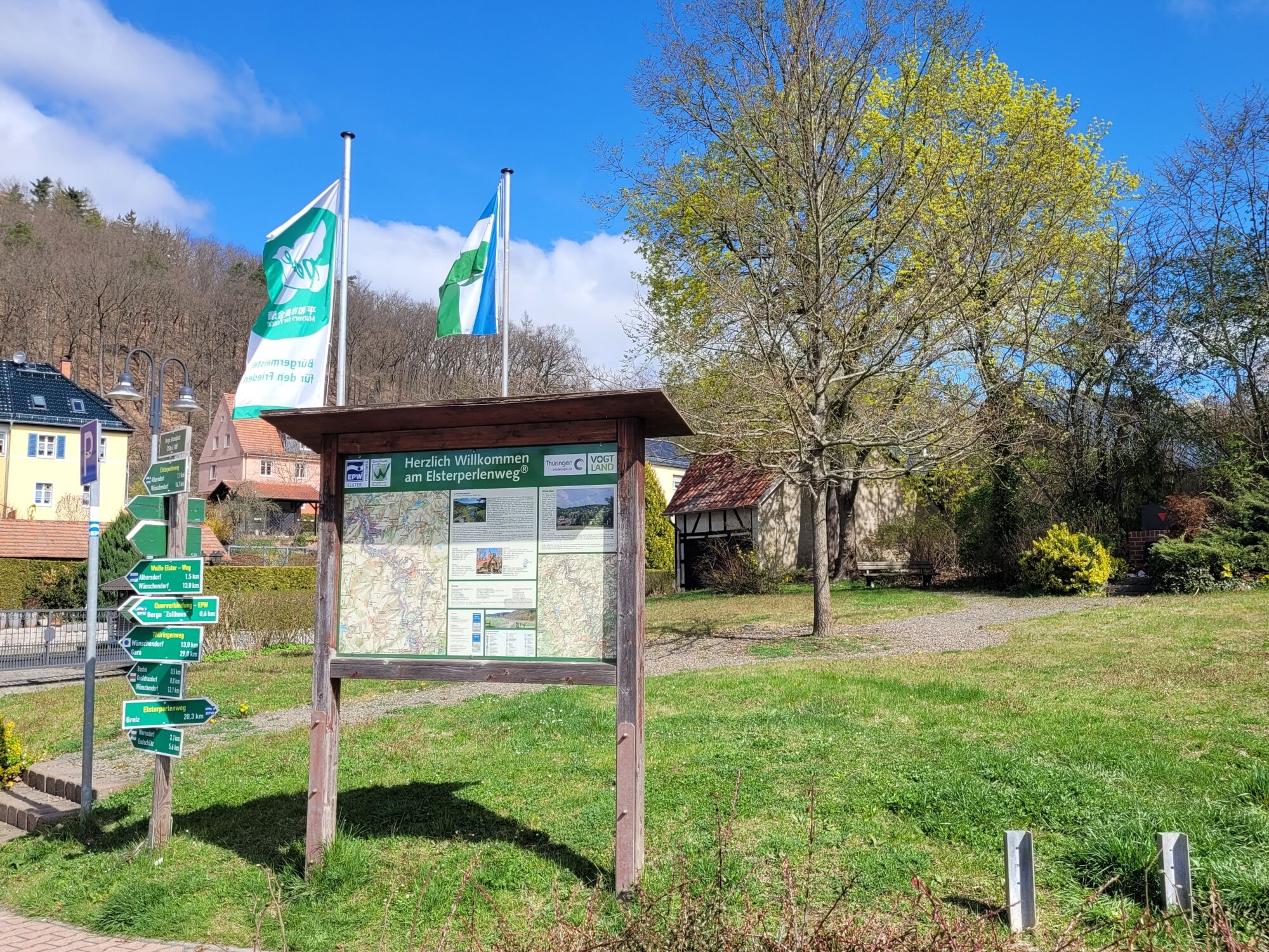

Start at Brandplatz in Berga / Elster - cross the B 175 - 150 m on the sidewalk along the town hall - cross the street here - pass the city park - turn half diagonally into the church square - turn right at the church into Kirchweg - at the church ditch after 50 m on Markersdorfer Weg , 900 m uphill to the Markersdorf crossroads (340 m above sea level) - at the crossroads straight down into the valley of the Culmitzsch (256 m above sea level) - at the next crossroads turn right on the forest path 1.4 km parallel to the Culmitzschbach to Untergeißendorf - cross the local road and after 100 m turn left into Wiesenweg - follow this meadow and field ridge path 1.7 km uphill - at the rest area and lookout point (362 m above sea level) "Alte Eulaer Straße" turn right - after 300 m slightly downhill, at the next rest area, Turn left from Alte Eulaer Straße - after 1 km downhill on forest and meadow paths you reach the Mühlberg von Waltersdorf - turn right at the crossroads at Mühlberg - 1 km straight towards Rüßdorf - turn left into the field path d 500 m uphill to the next field lane crossing - turn right - 400 m straight ahead on a field path - turn left - 1 km partly uphill, partly downhill on a field path to the next junction and signposts - turn right - 1 km straight ahead - turn left into forest path –300 m straight ahead on the forest path - turn right at the forest path crossing - 1.3 km past the viewpoint “Heiterer Blick” (320 m above sea level) NN) with its White Cross - now 1.3 km downhill on the hiking trail marked with the EPW pictogram to the new Elsterbrücke - cross the local road - turn right at the Elsterwehr and signpost location - 400 m on the parallel path to the Weißen Elster you reach the stage destination, the Neumühle / Elster municipal office (240 m above sea level).
You can get a folding map with the complete route as well as information about sights and refreshment stops in the brochure shop of the tourism association at www.vogtland-tourismus.de/en/brochure...
Appropriate hiking equipment should be used for the 11-kilometer trail.
Pay attention to your physical condition and take appropriate quantities of drinks with you on the hike.
You can reach Berga from Dresden/Chemnitz via the A 72 motorway, exit Reichenbach - Greiz - Neumühle - Berga.
Further information is available from the PRG on +49 3661 706565 or the Vogtland Tourist and Transport Office on +49 3744 19449 or www.vogtlandauskunft.de.
Use the public parking spaces on the Weißen Elster.
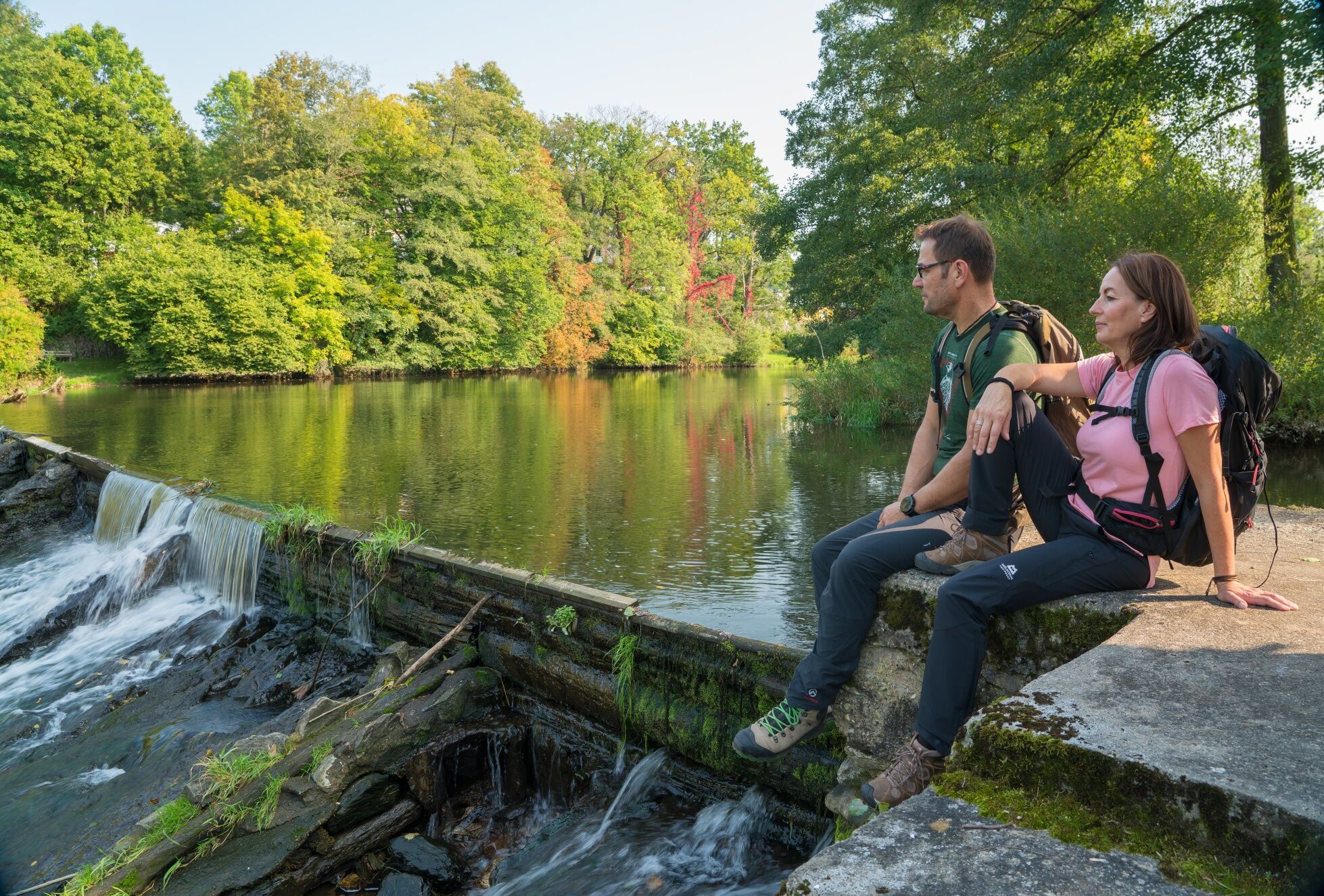
Elster Weir near NeumühleMuseum and Holiday Court in Waltersdorf
Obľúbené výlety v okolí
-
4,0
Rundwanderung im Pöllwitzer Wald
svetloTuristika 8,49 km -
3,0
Neukirchner Waldrunde
svetloMountainbike 35,9 km -
Rundweg Weidatalsperre
ťažkéTuristika 13,8 km -
Leubnitz - Werdauer Wald - Stauweiher - Leubnitz
svetloTuristika 6,86 km -
4,0
Wanderweg "Zur Göltzschtalbrücke"
strednáTuristika 13,4 km -
Elster Pearls Trail – Stage 6
strednáTuristika 10,0 km -
5,0
Durch das Waldhaus-Revier Greiz
svetloTuristika 6,65 km -
Winterrundwanderung auf dem Lutherweg Thüringen – Ostroute am 7. Februar 2026
strednáTuristika 9 km -
5,0
Rundwanderung "Zur Clodramühle" - Elstersteigen
Turistika 11,5 km -
Auma-Weida cycle route
svetloCyklistika 23,5 km
Turistika a stopovanie


Nenechajte si ujsť ponuky a inšpiráciu na ďalšiu dovolenku
Vaša e-mailová adresa bol pridaný do poštového zoznamu.





