







Kneipp terrain hiking trail -red

Úroveň náročnosti: T2
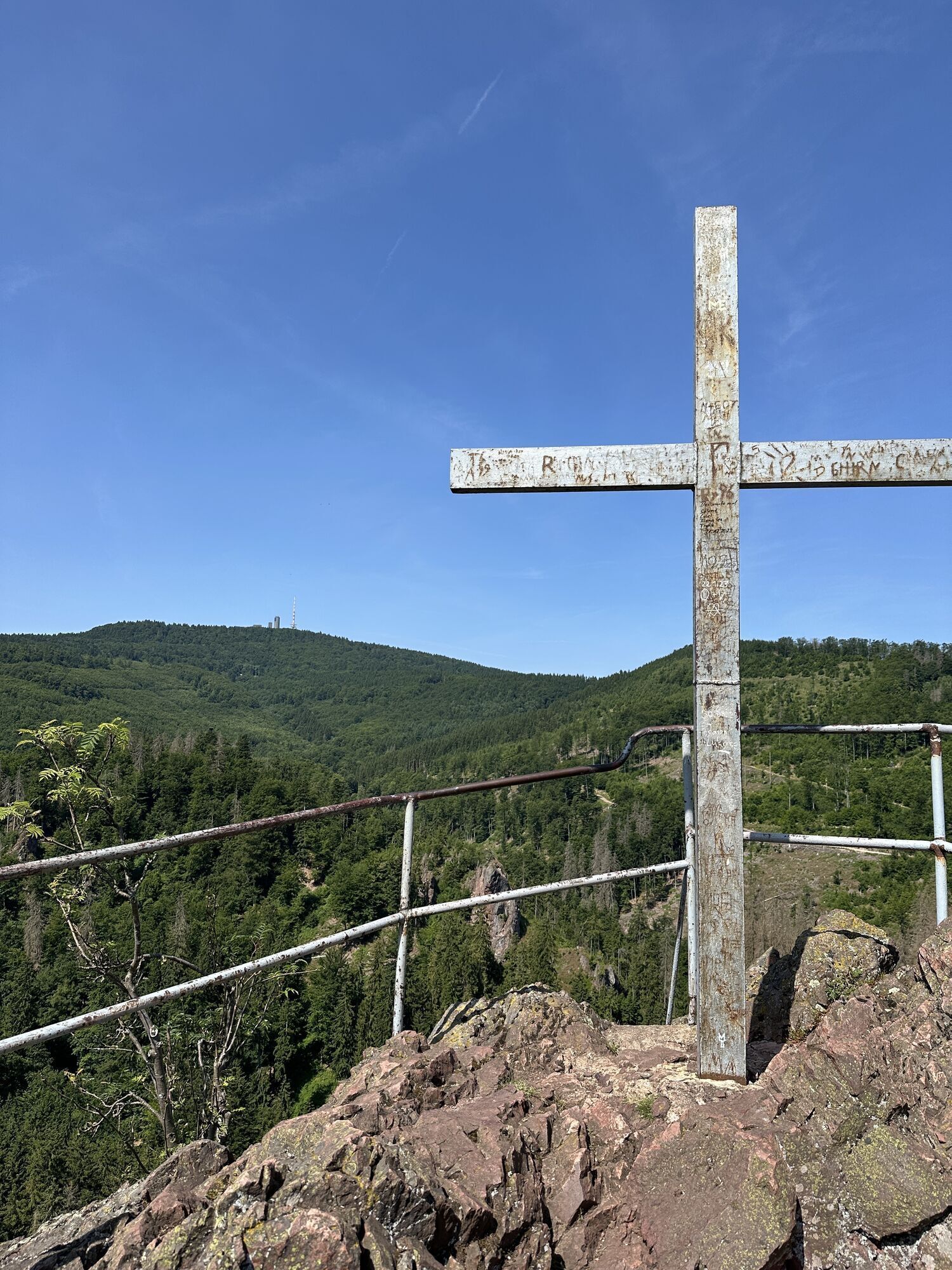
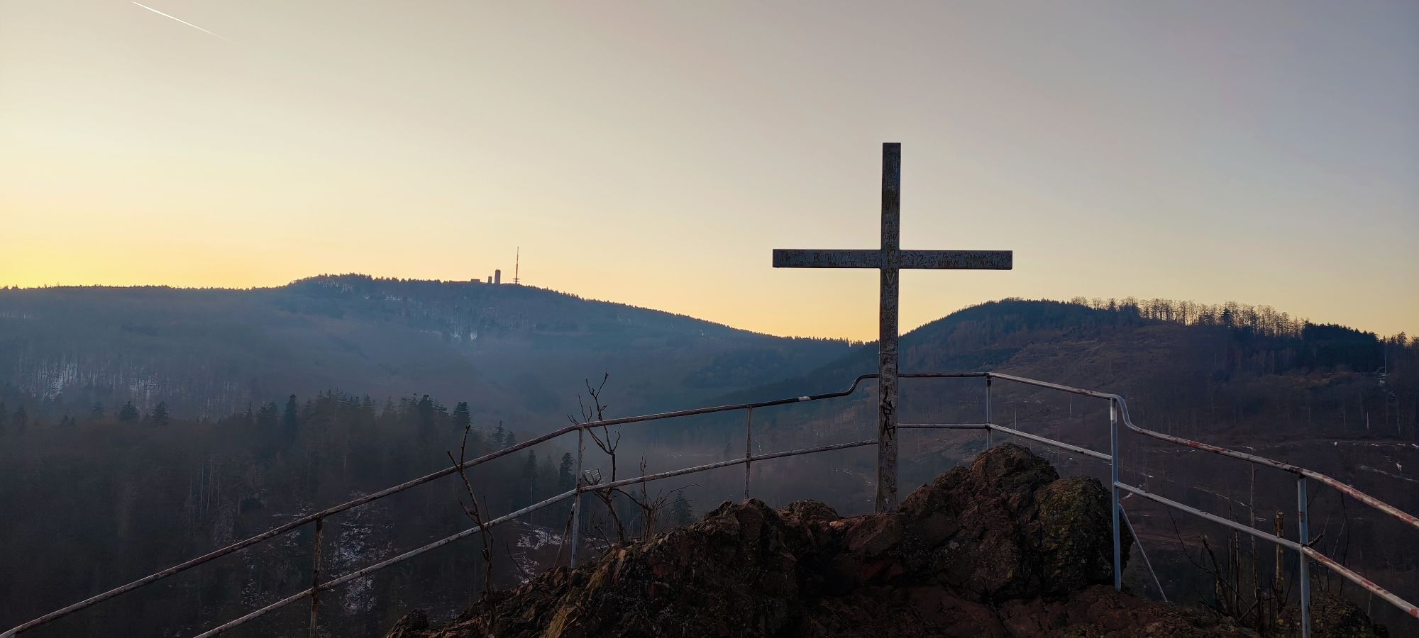
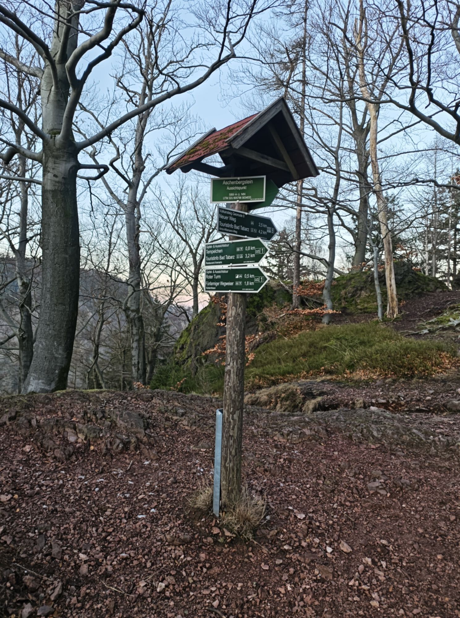
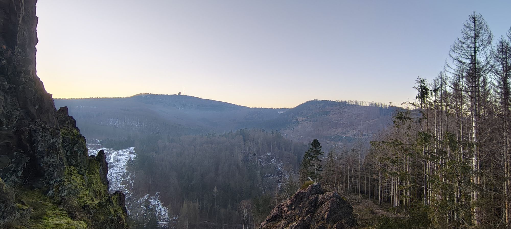
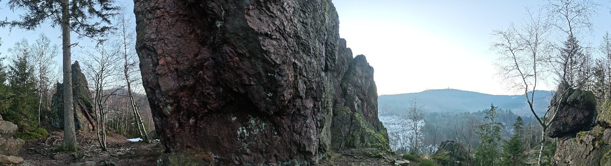
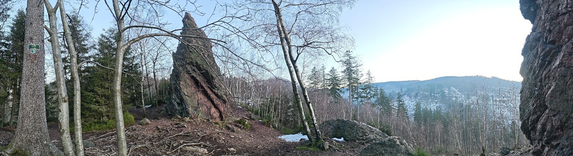
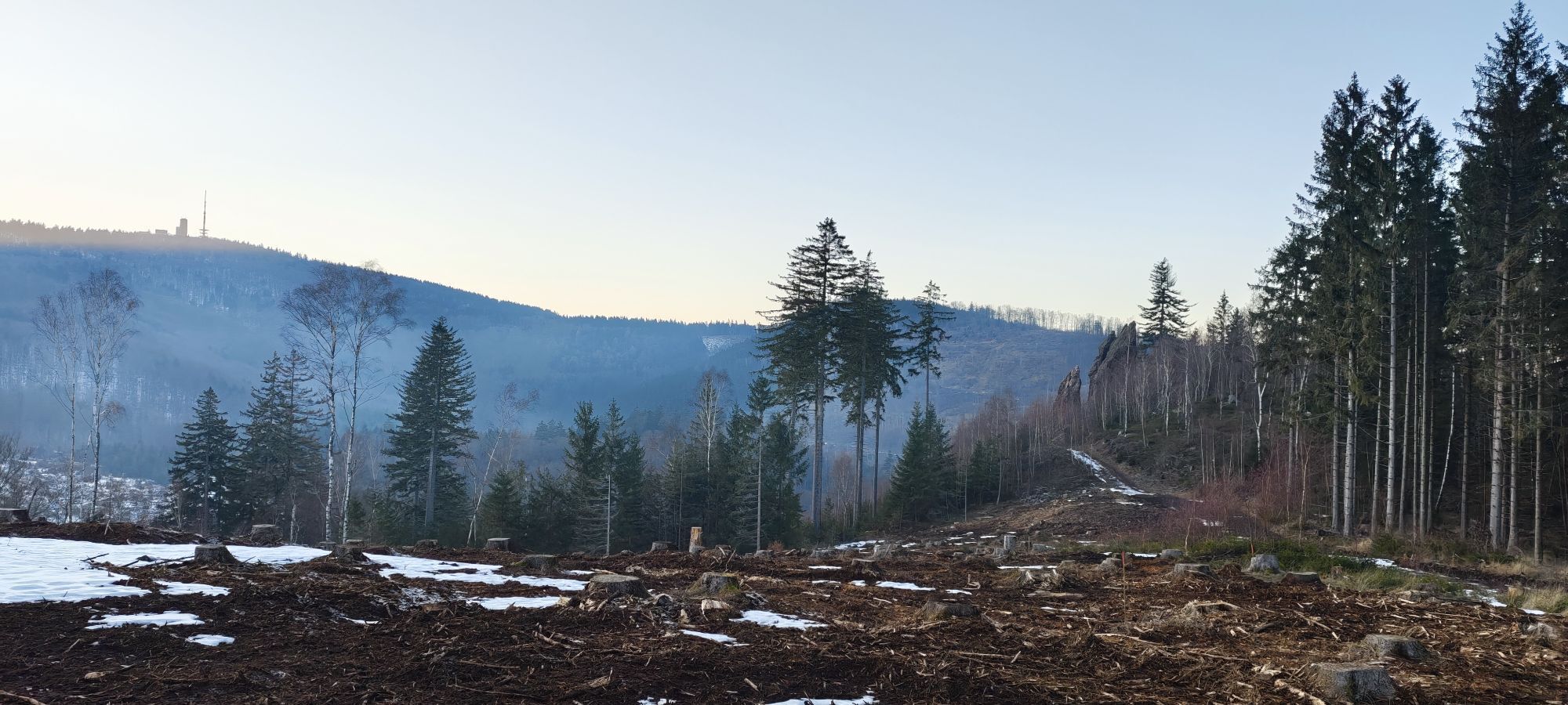
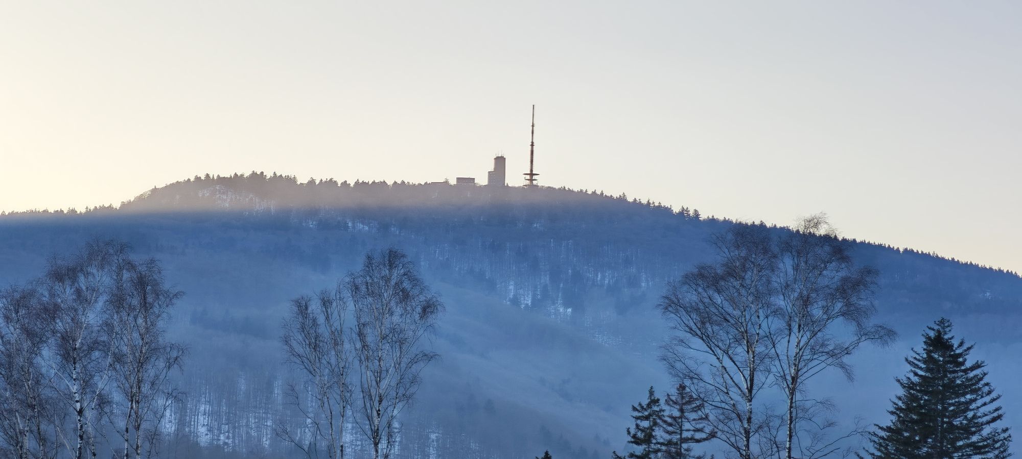
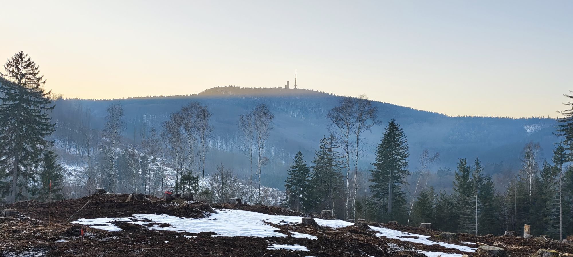
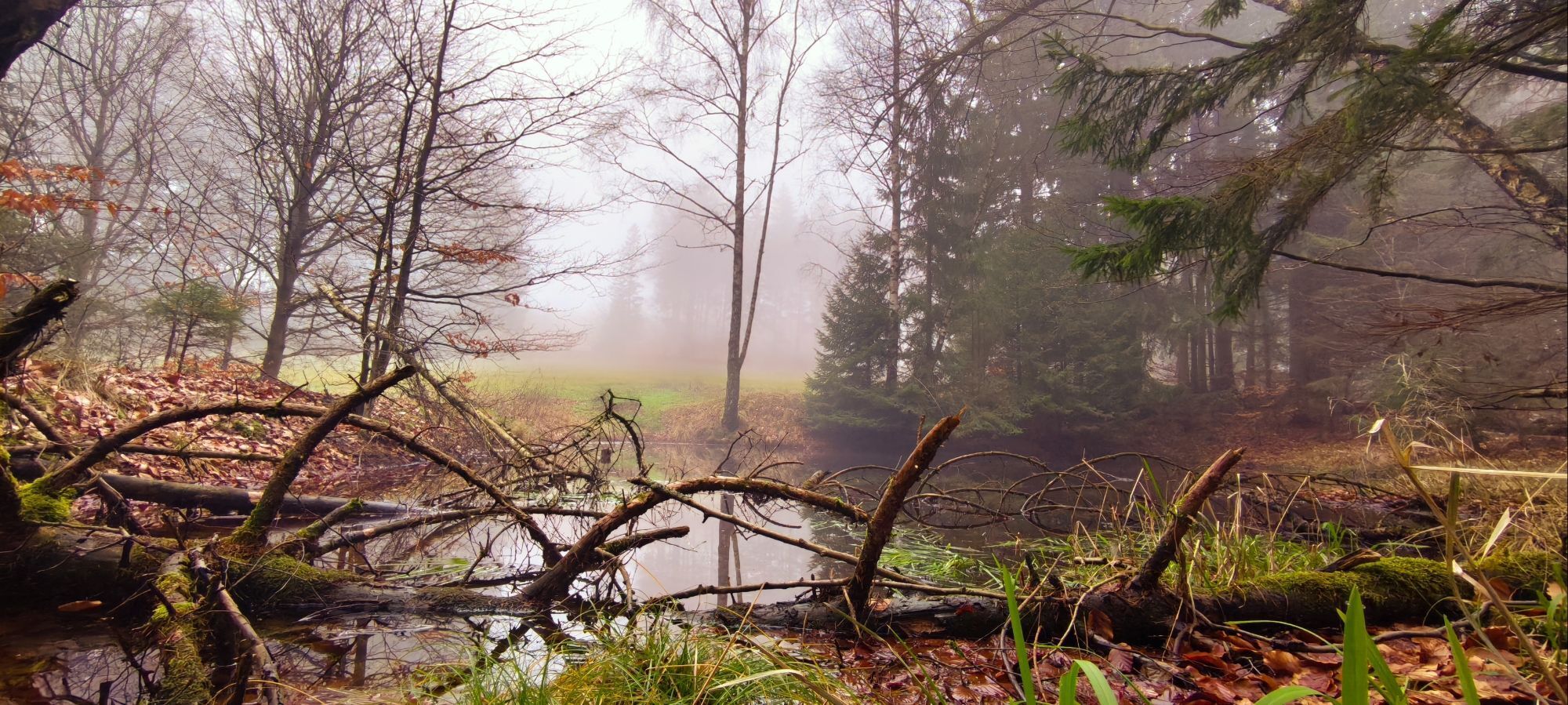
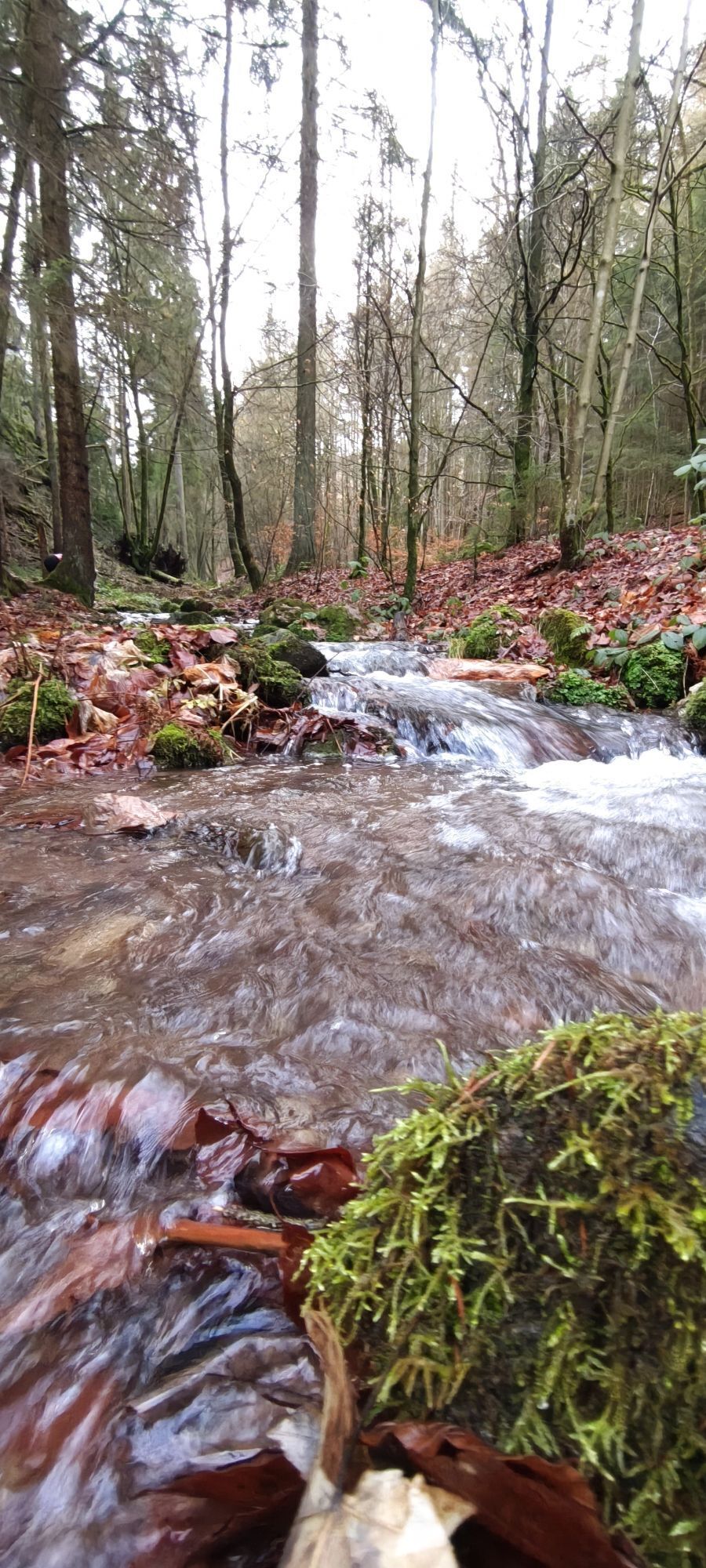
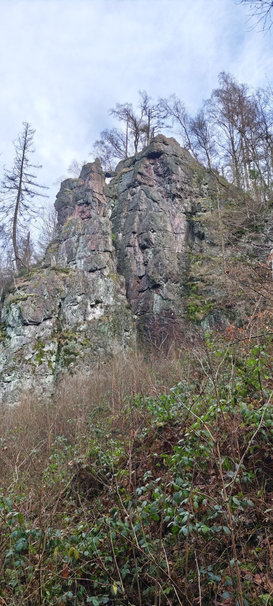
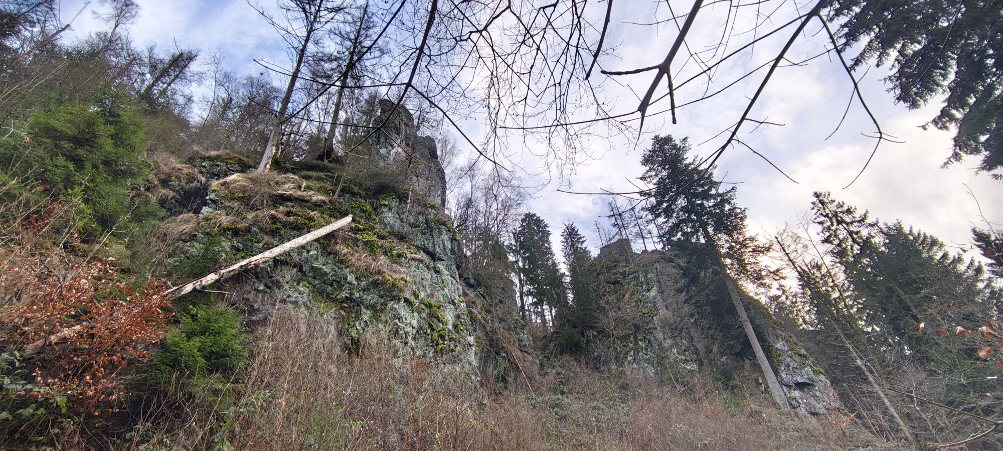
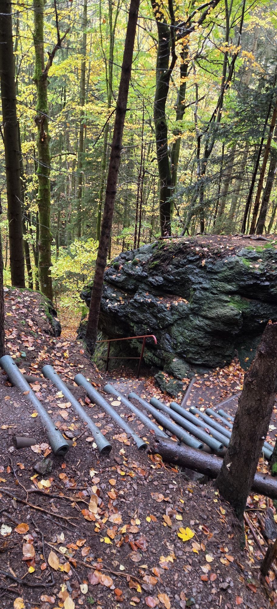
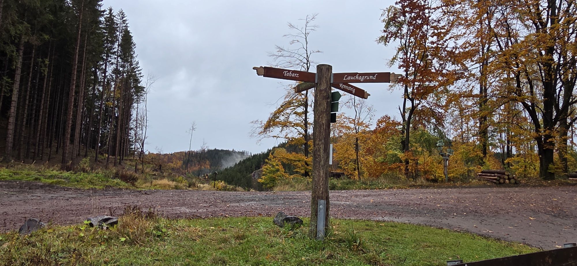
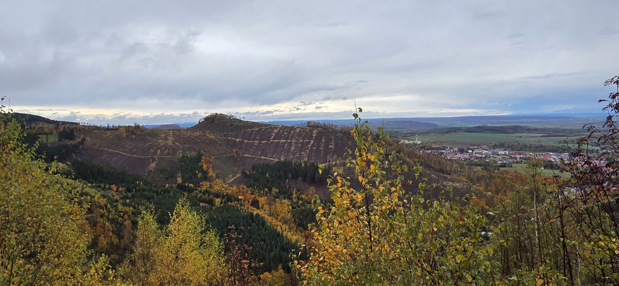

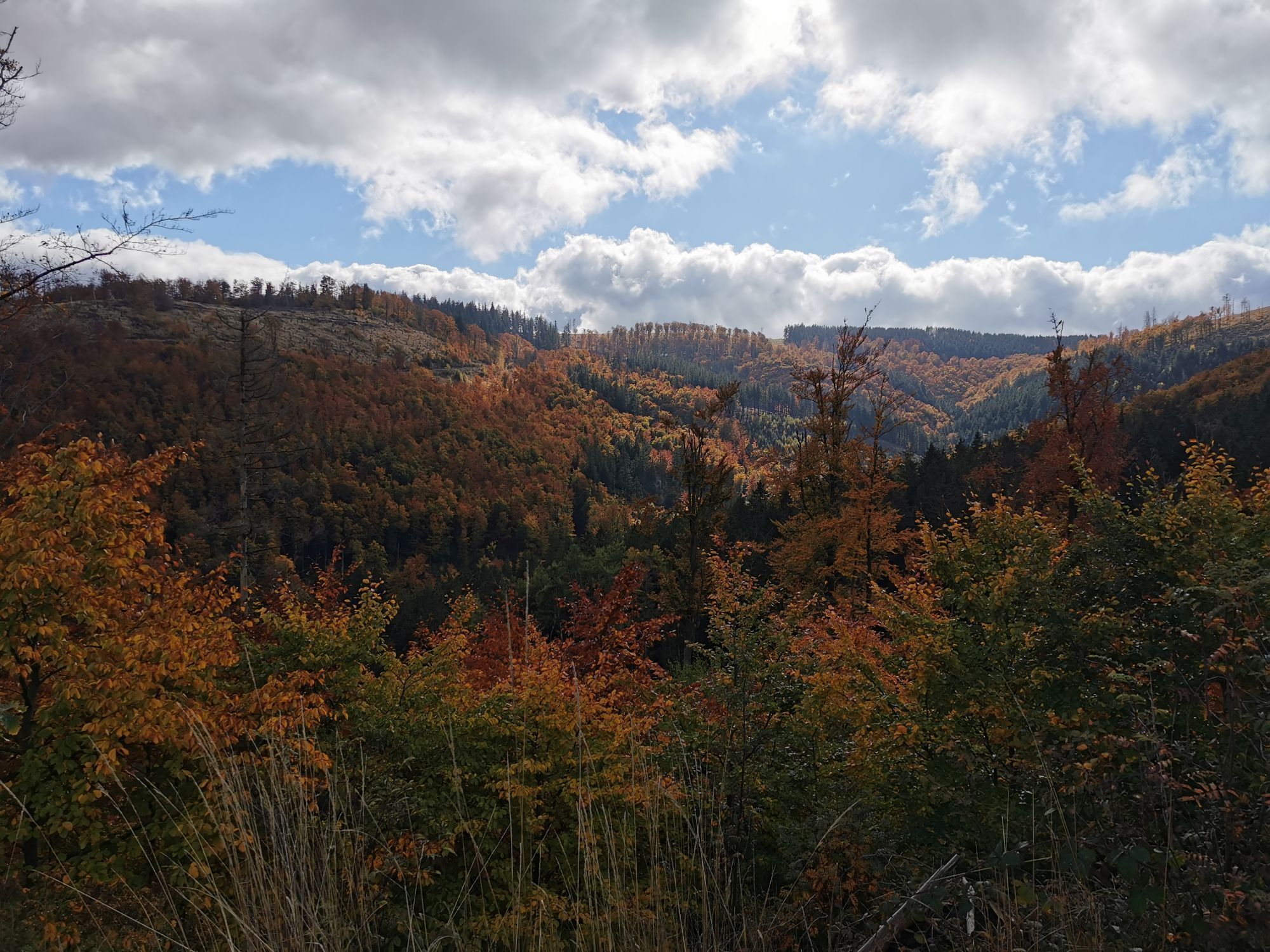
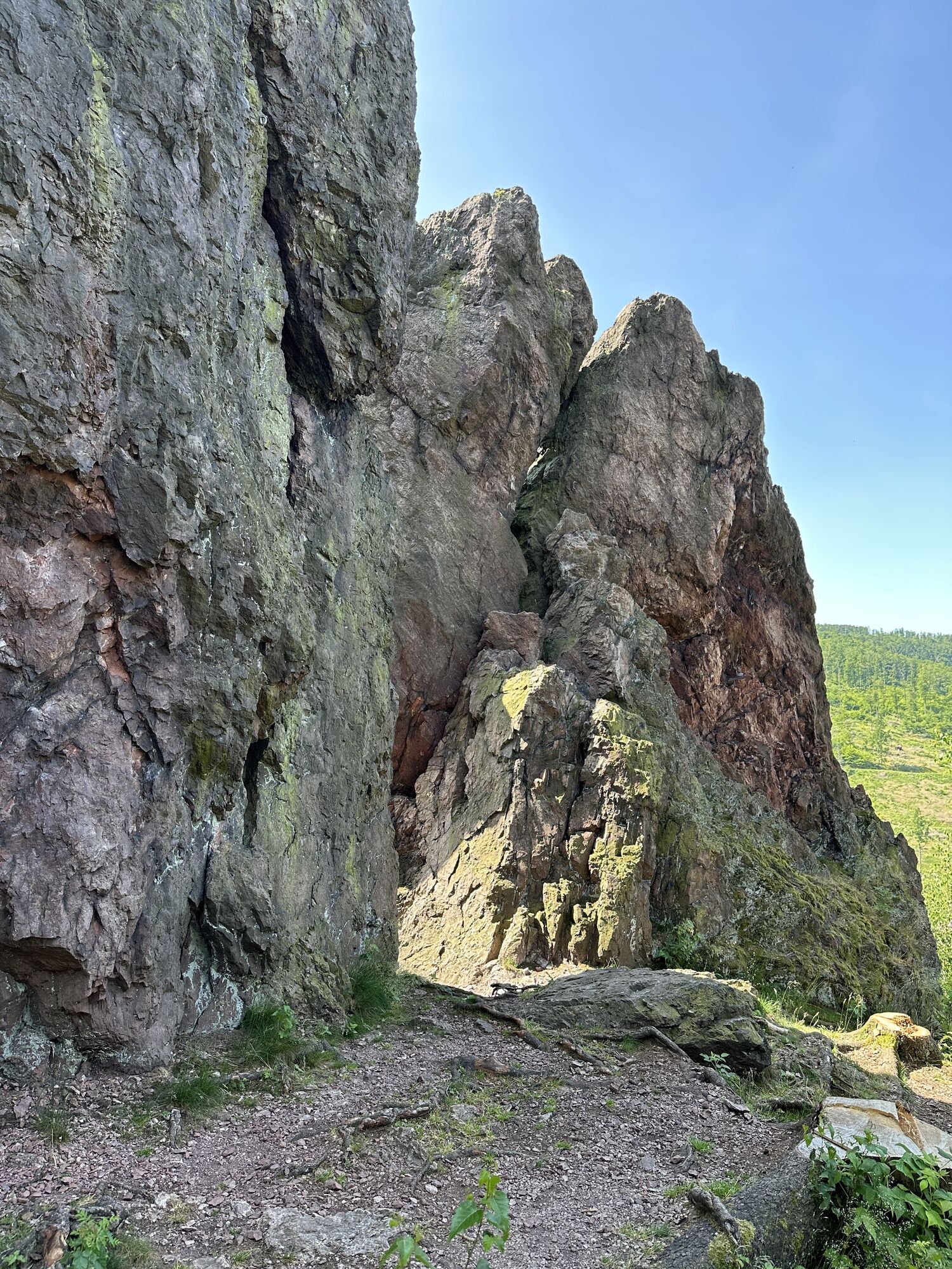
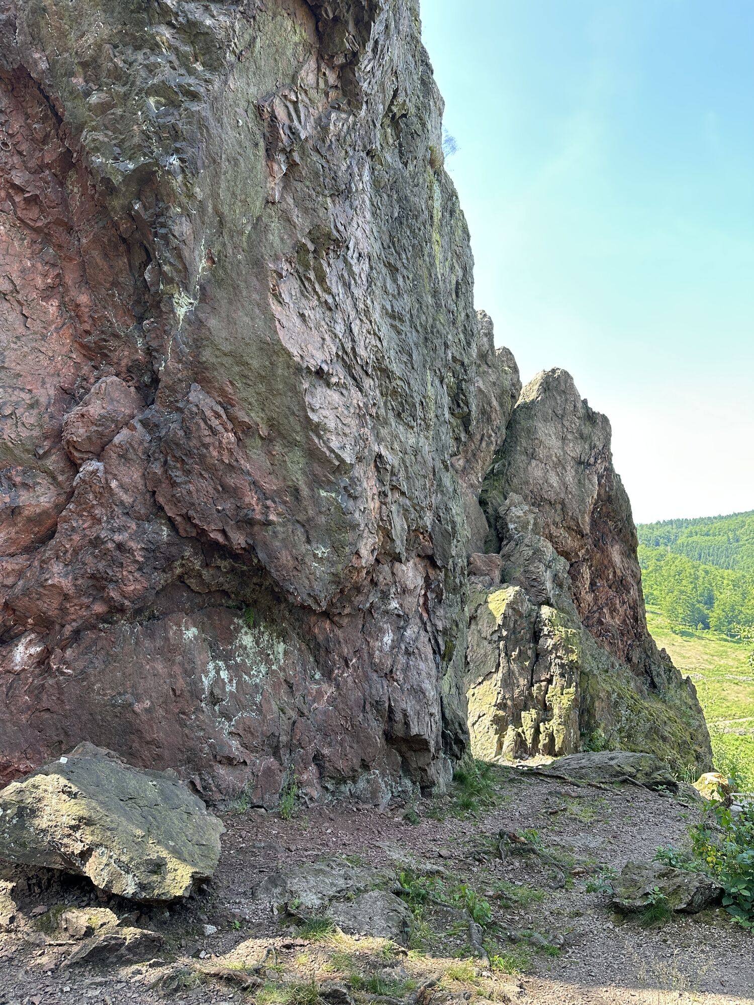
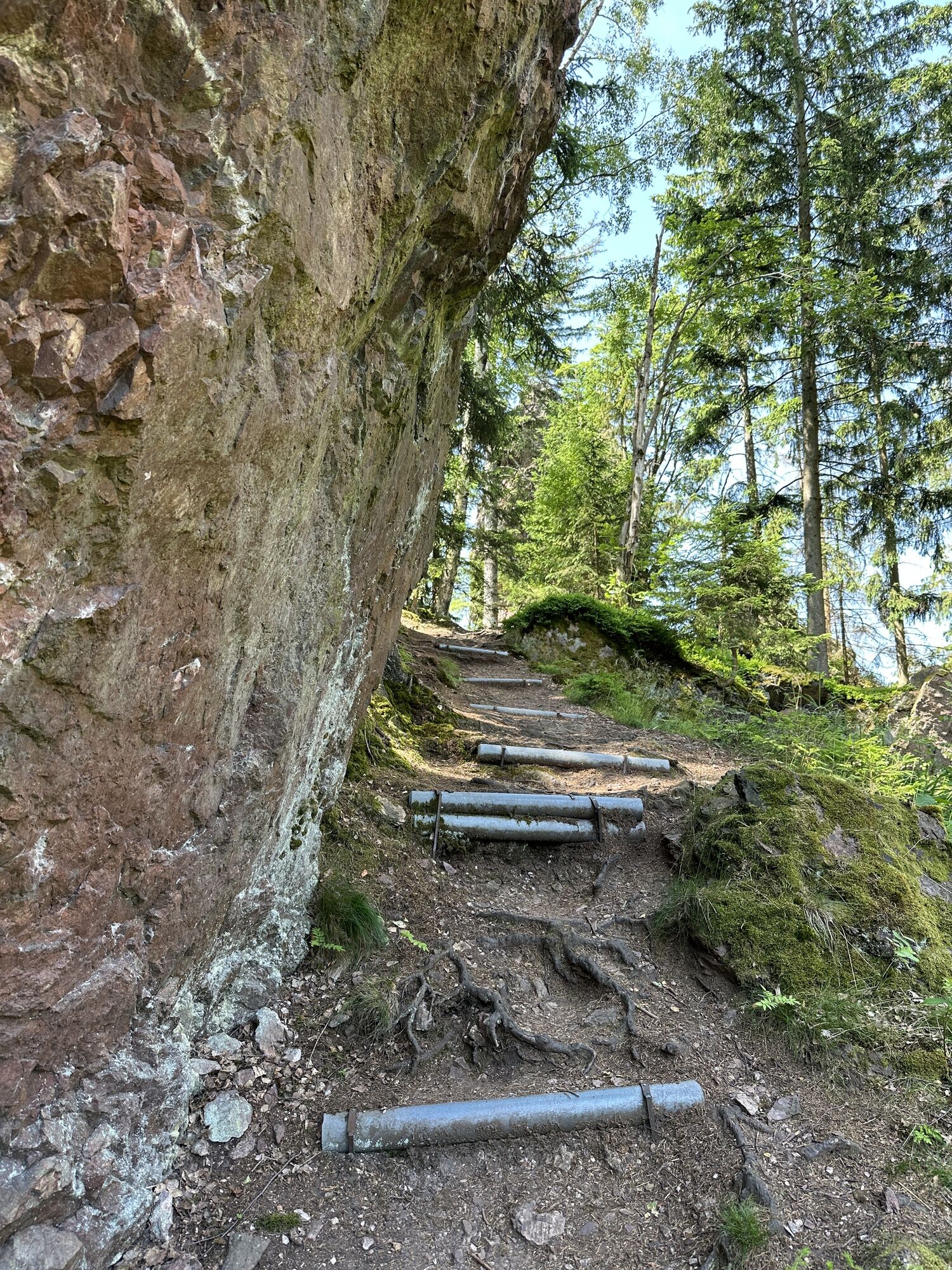
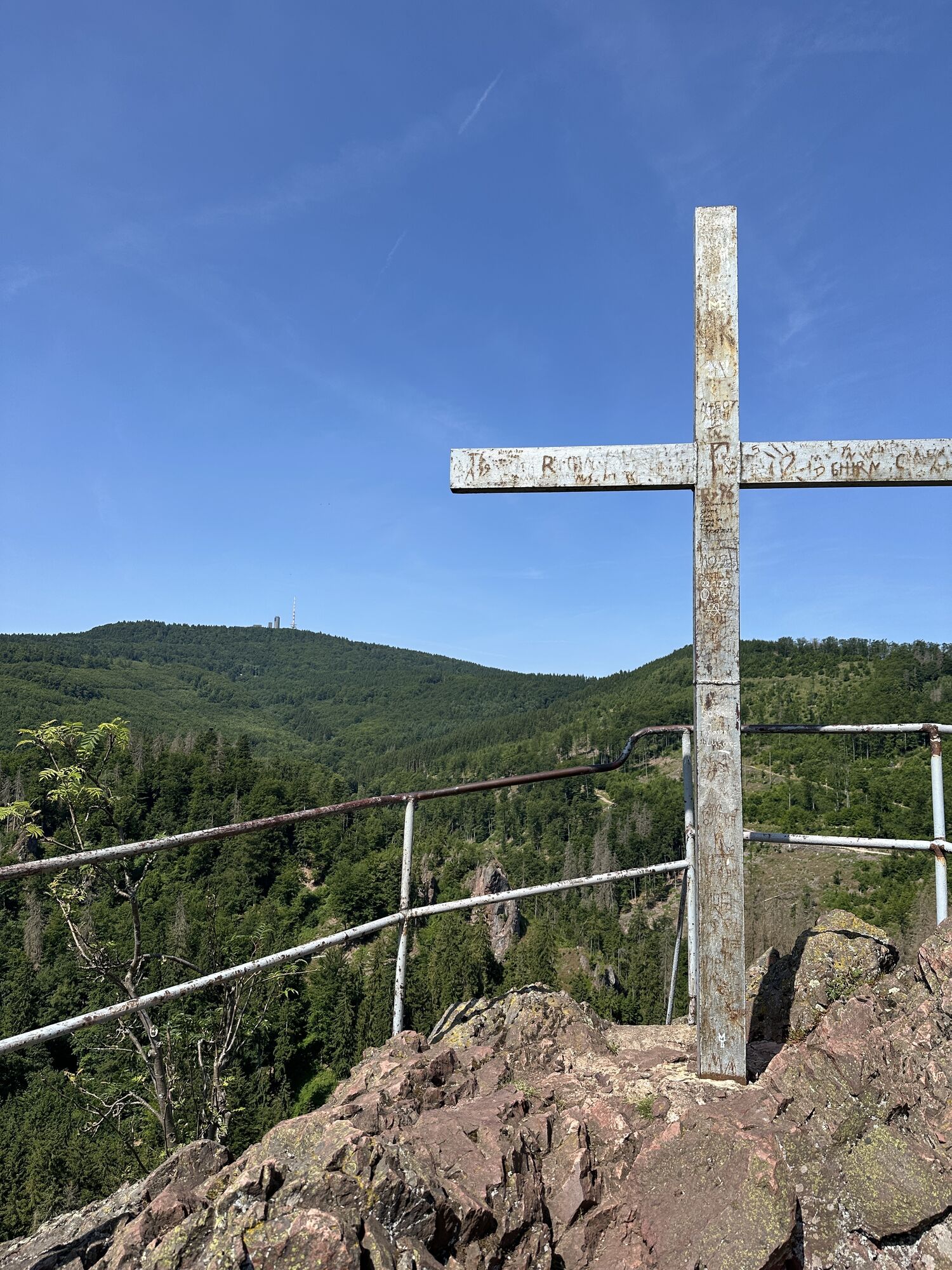
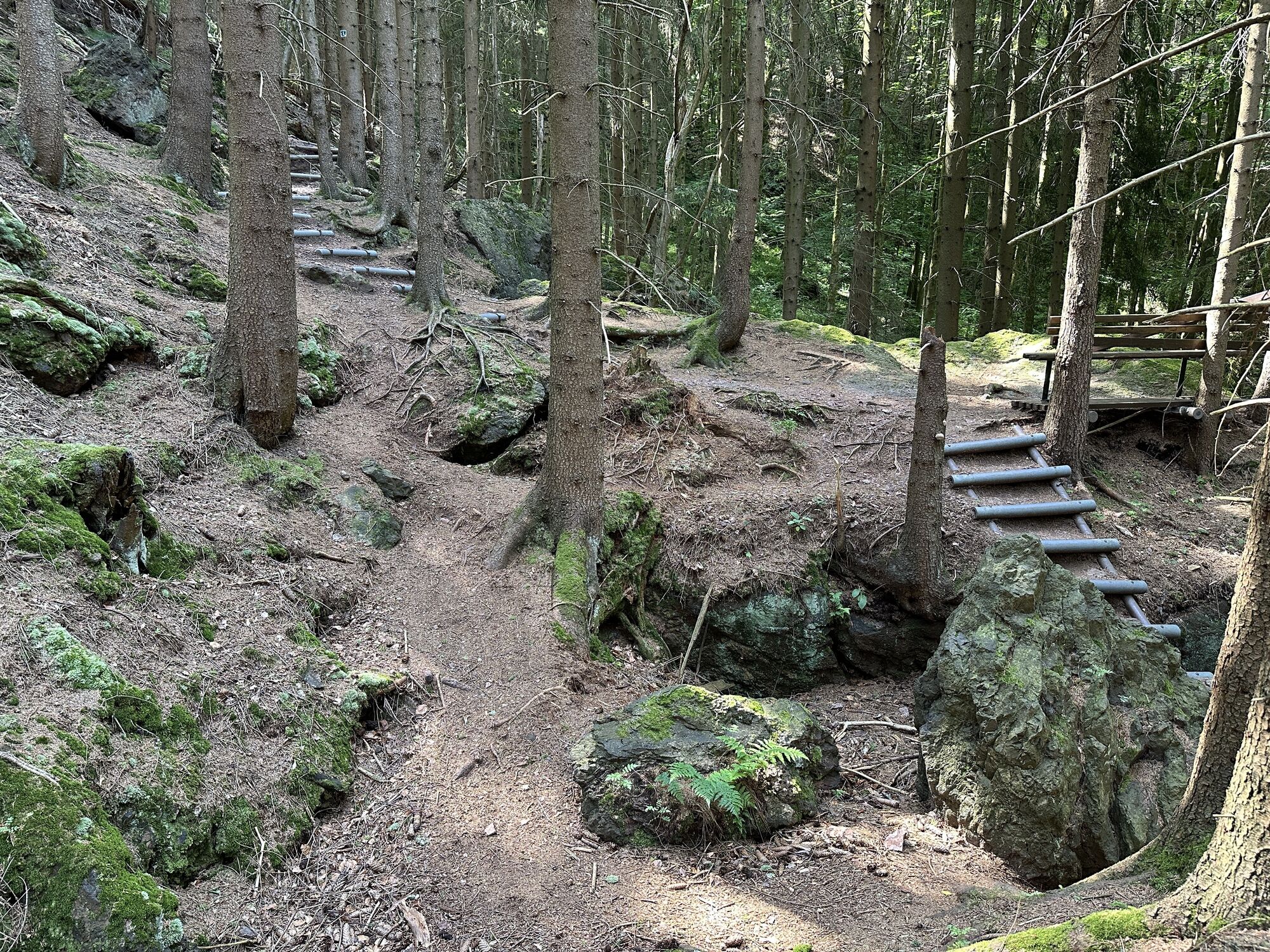

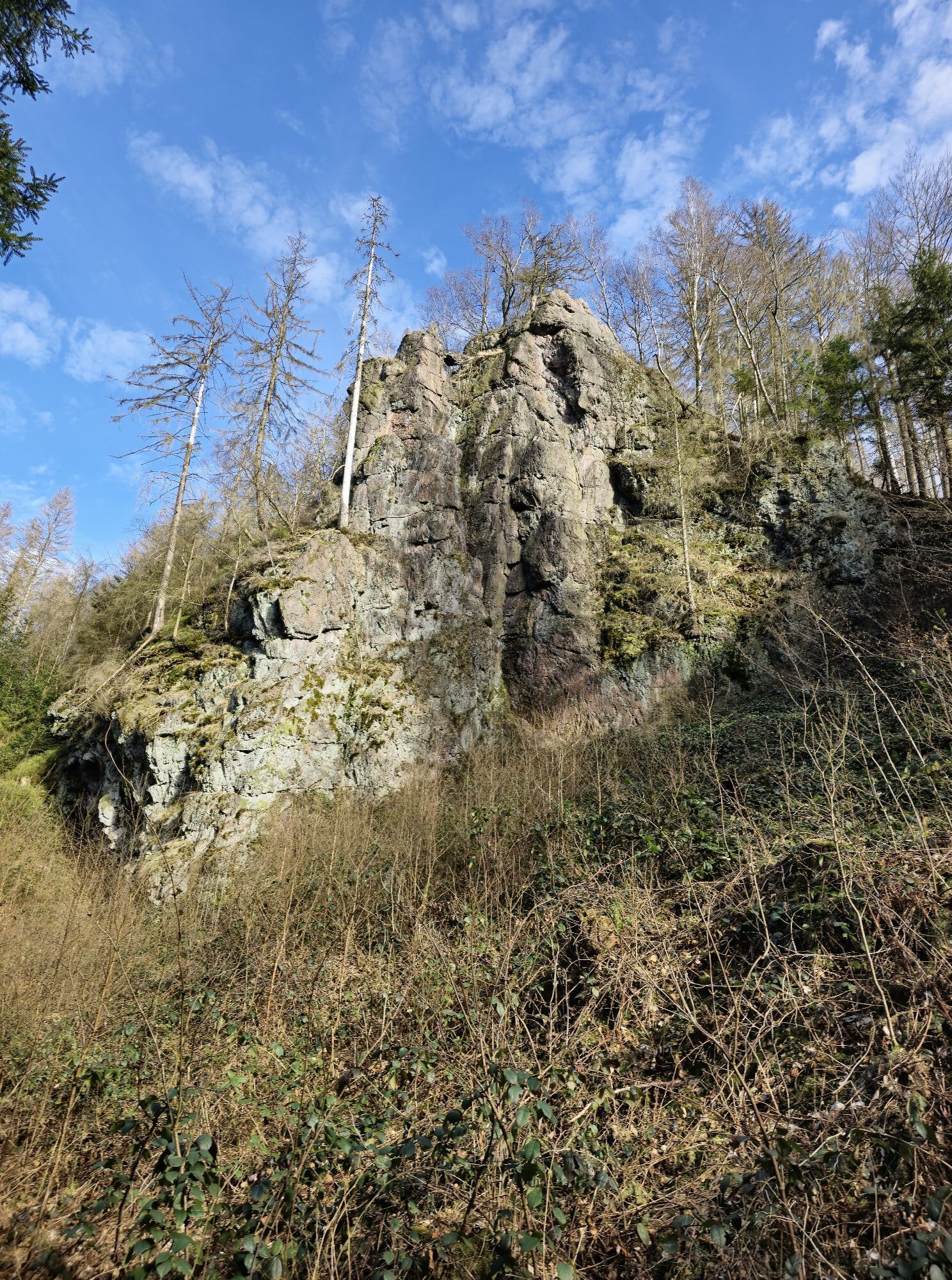
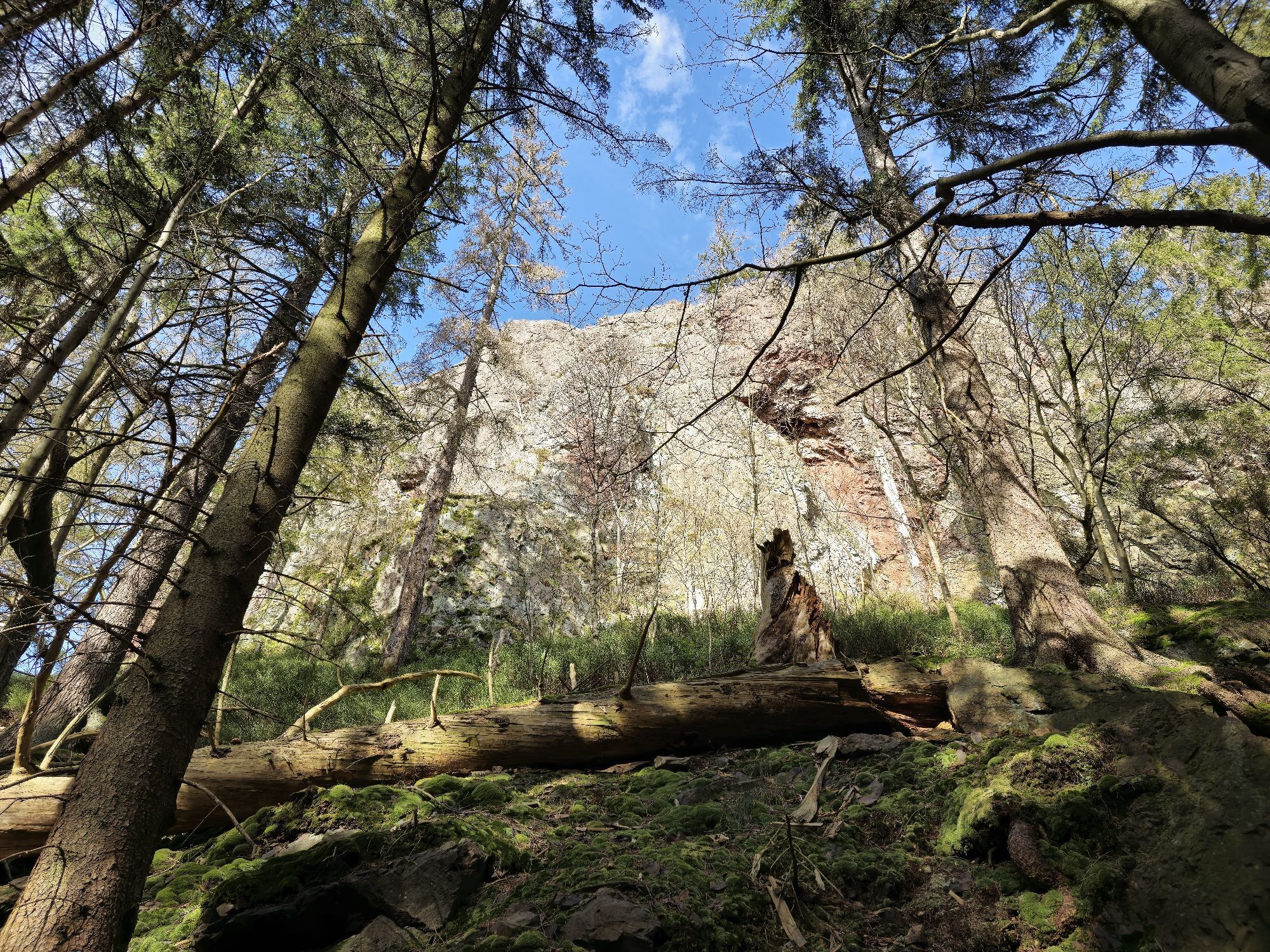
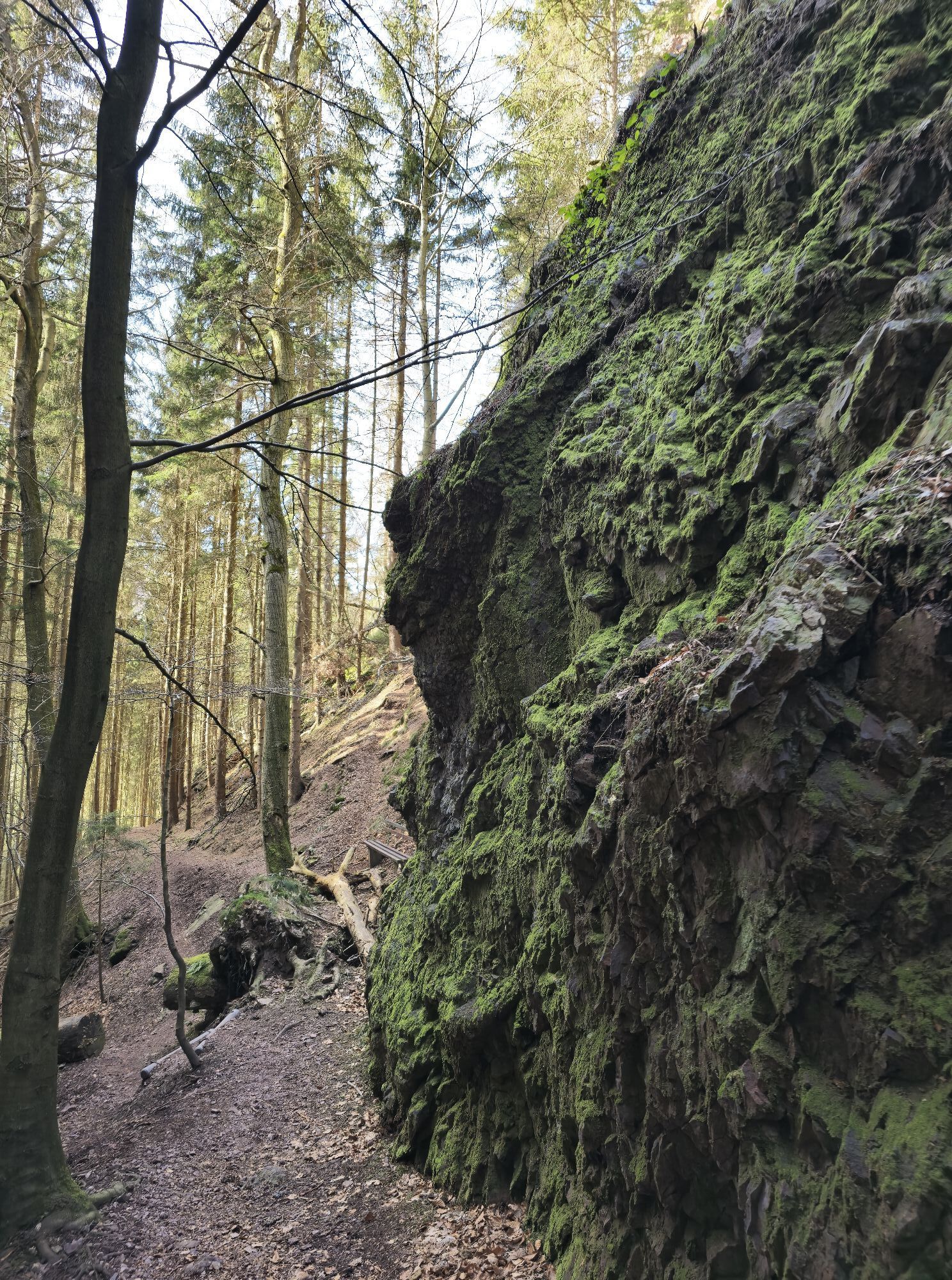
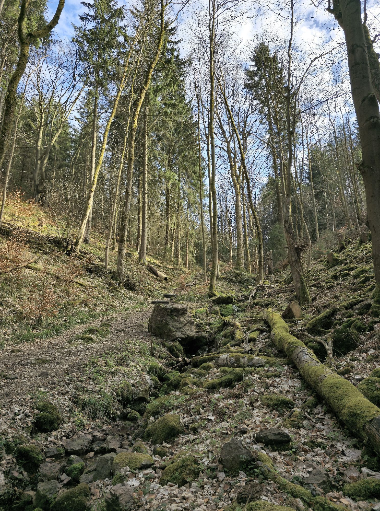
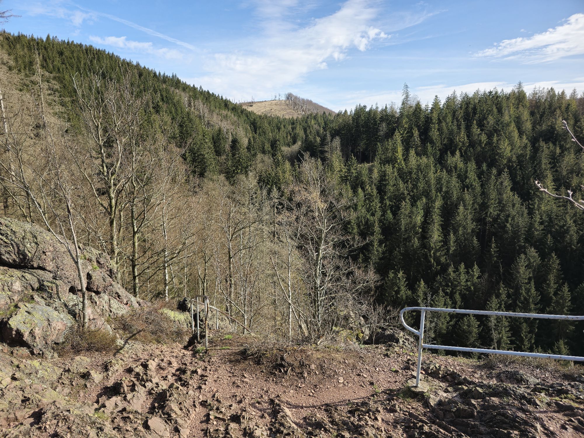
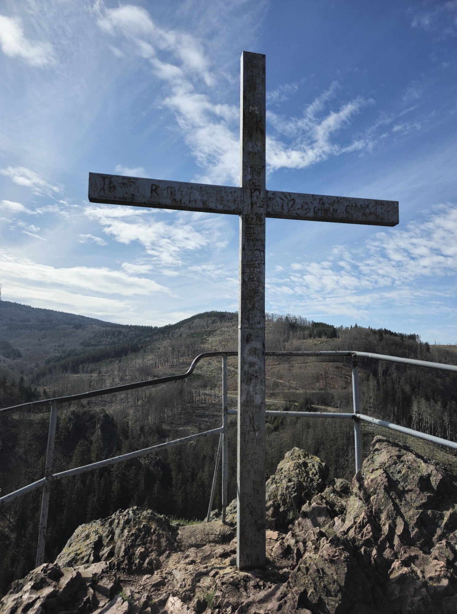
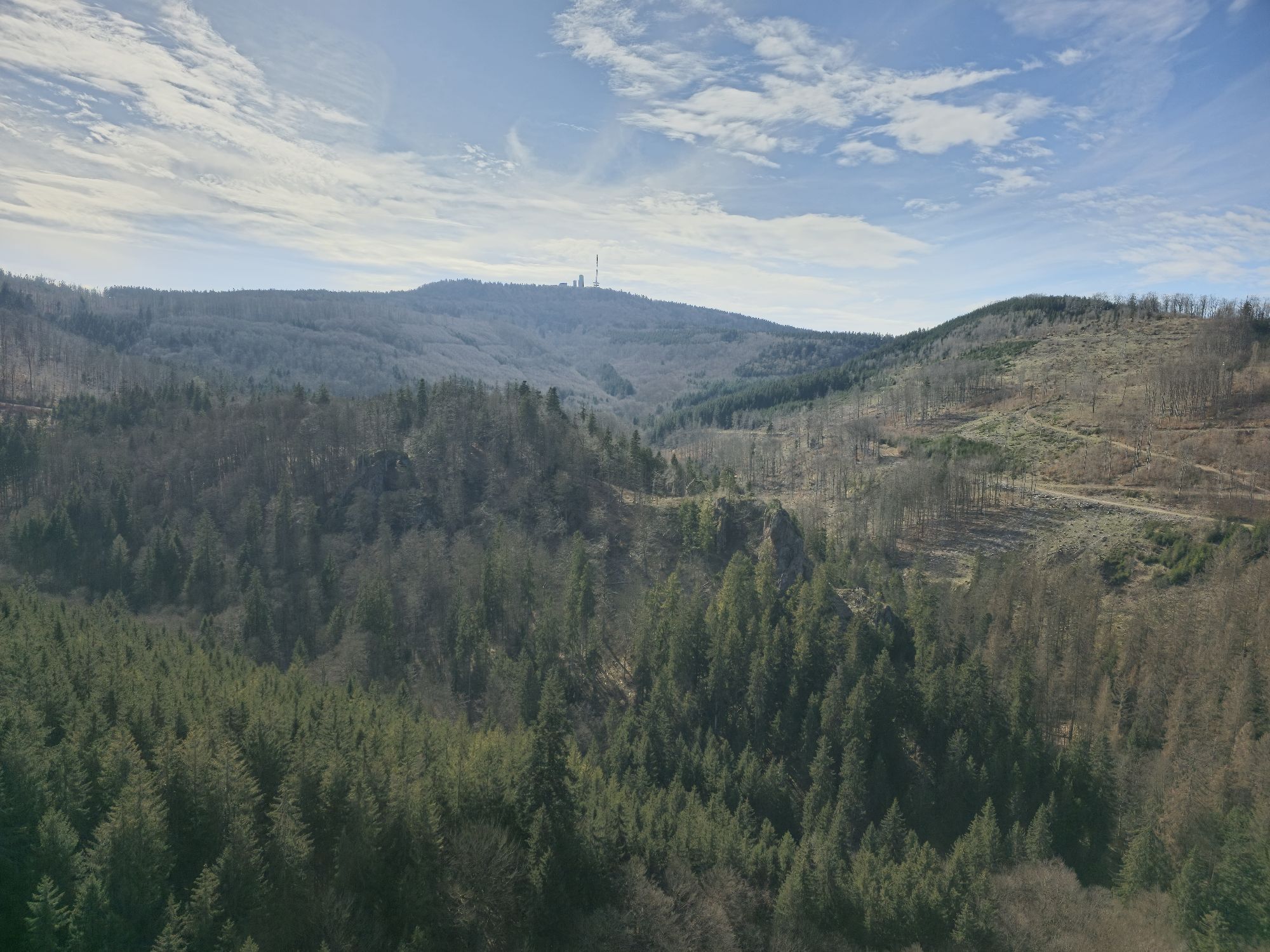
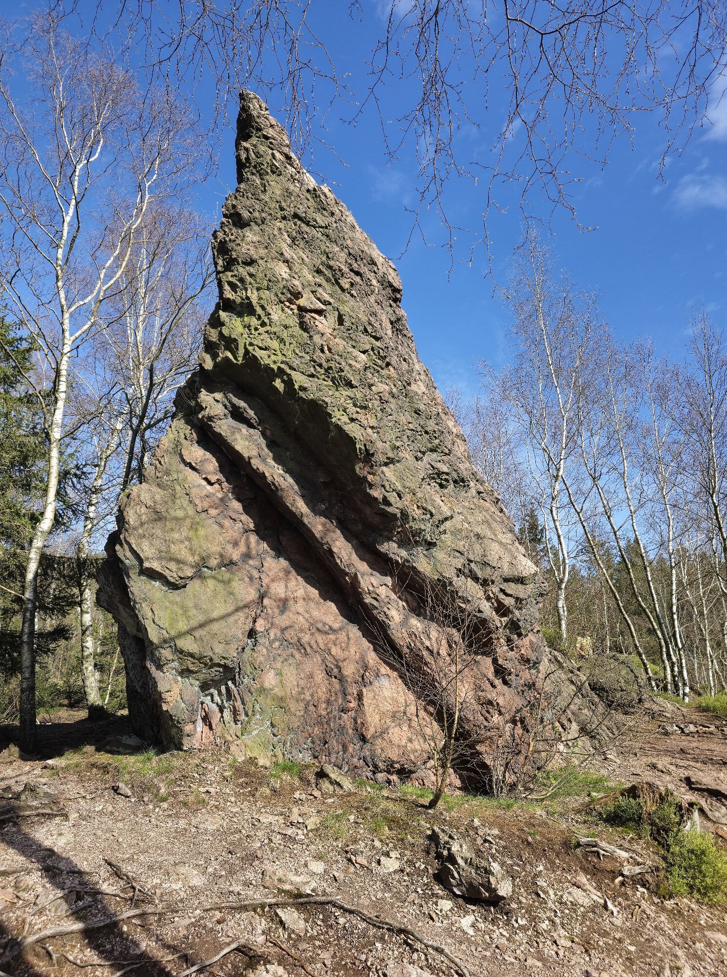
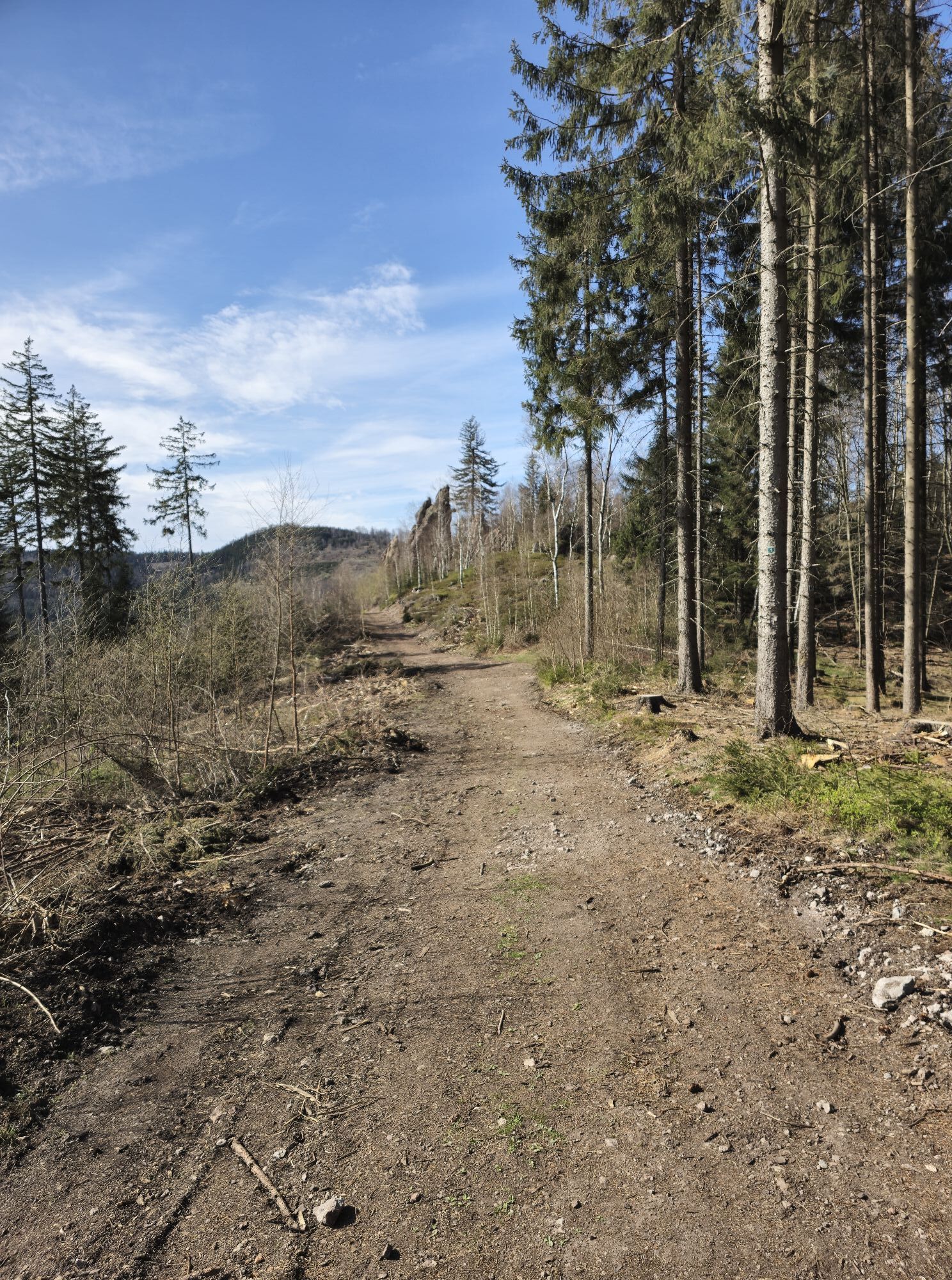
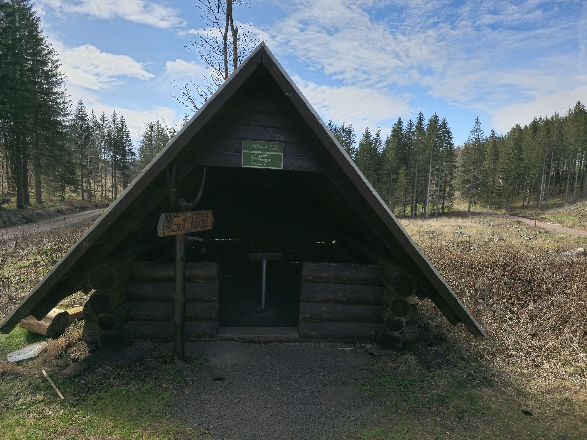
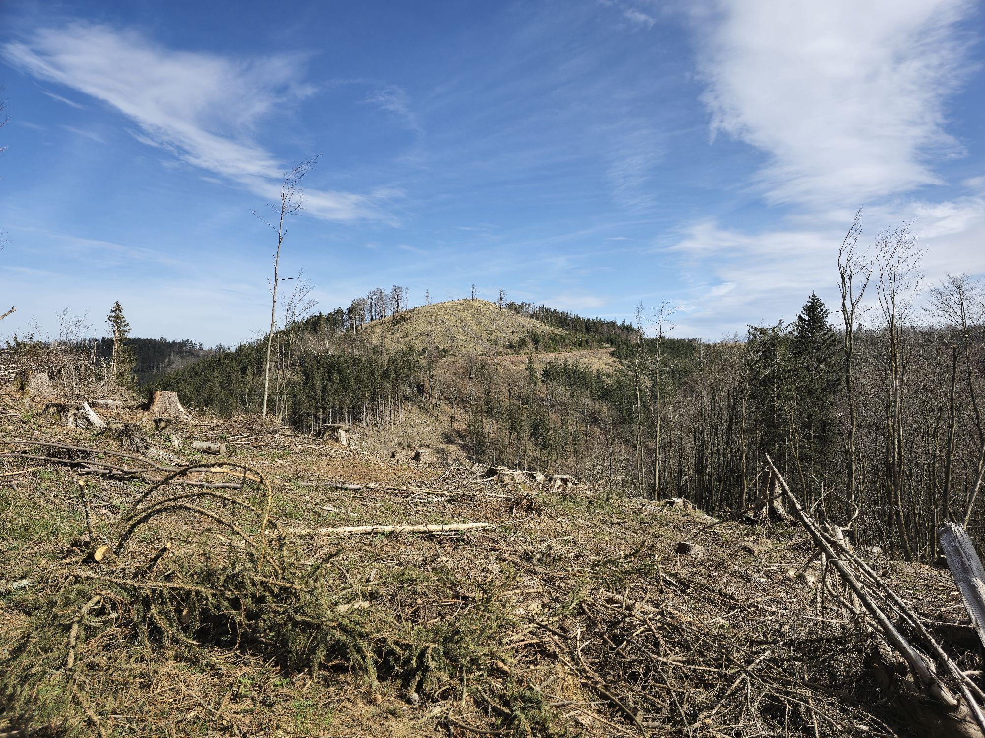
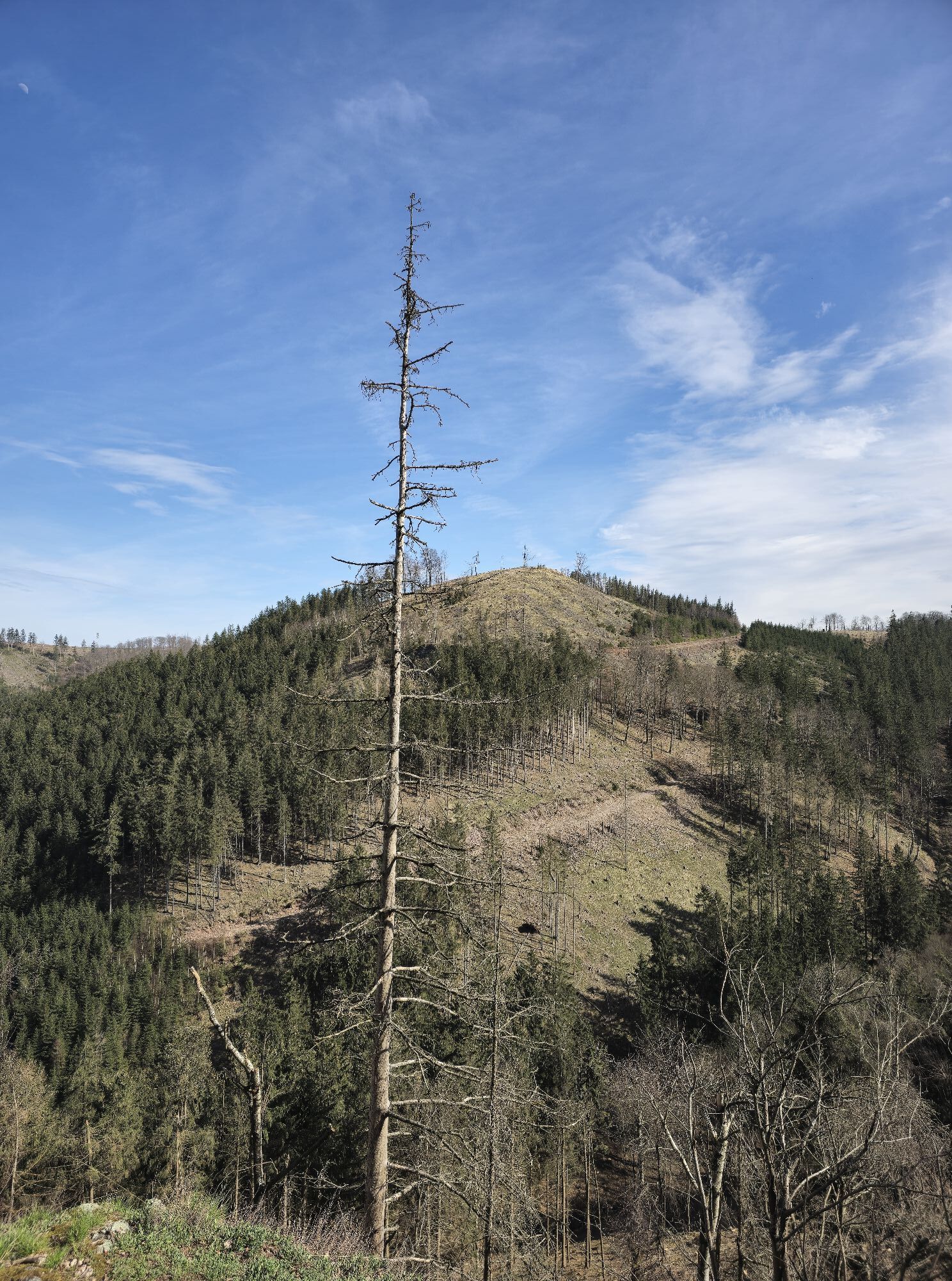
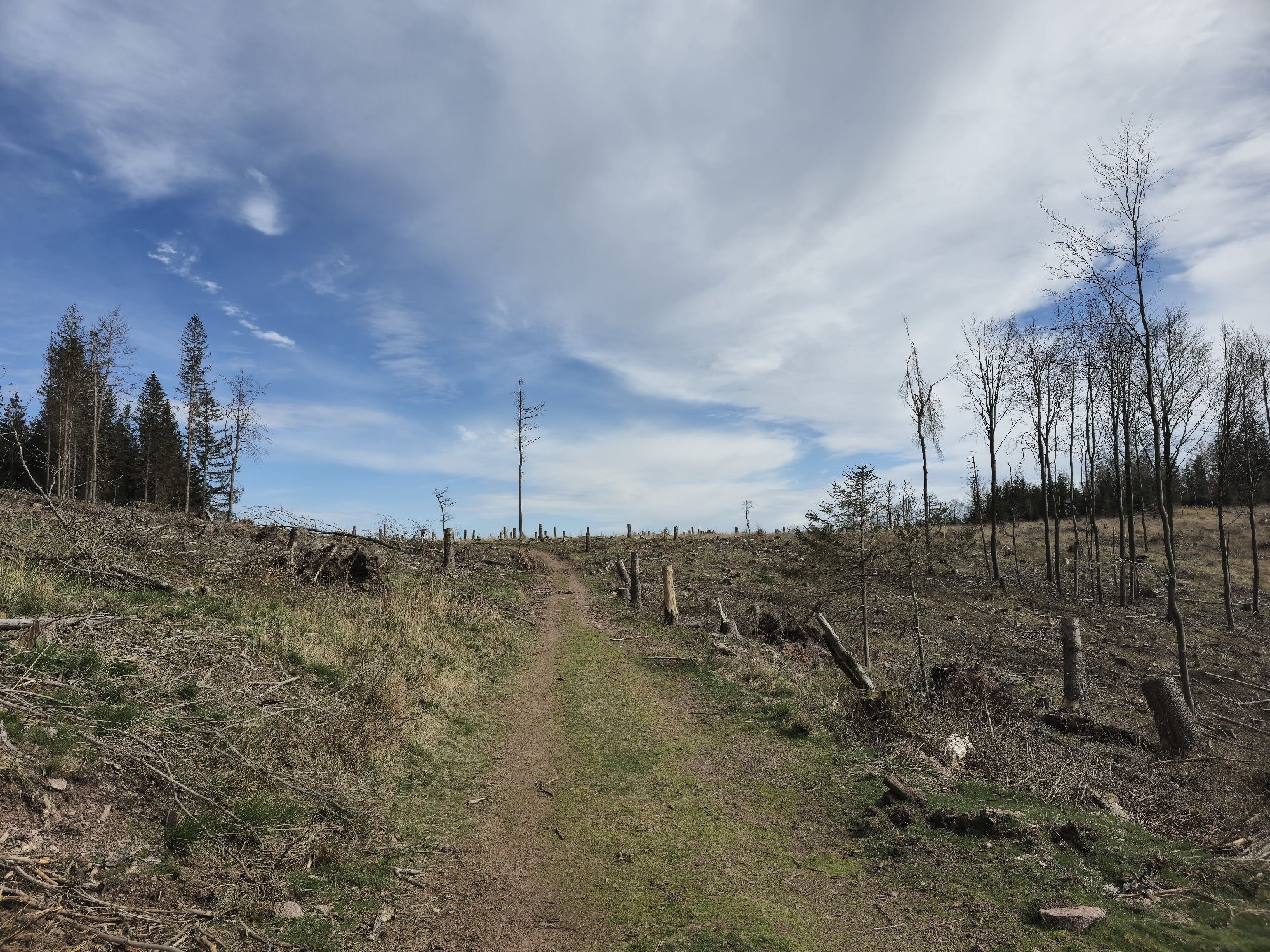
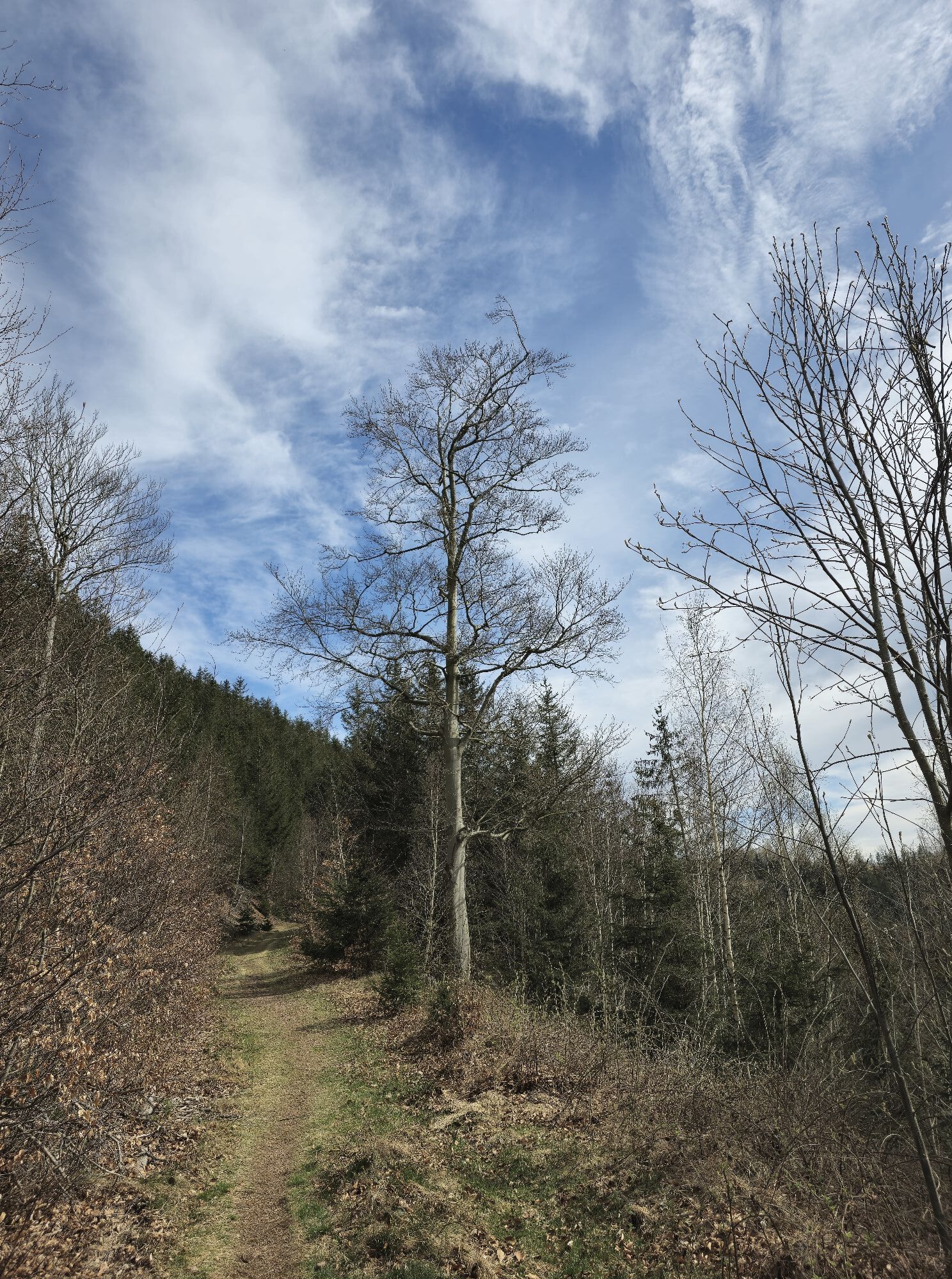
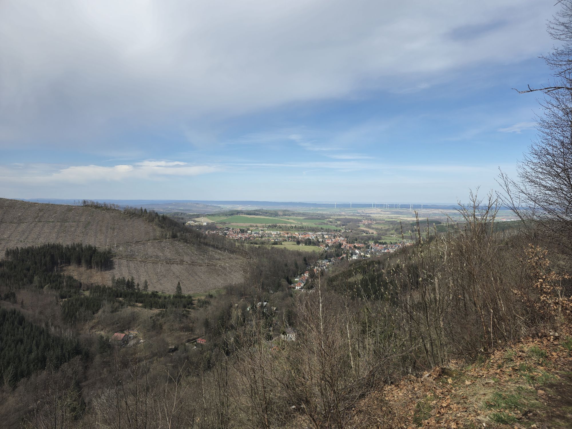
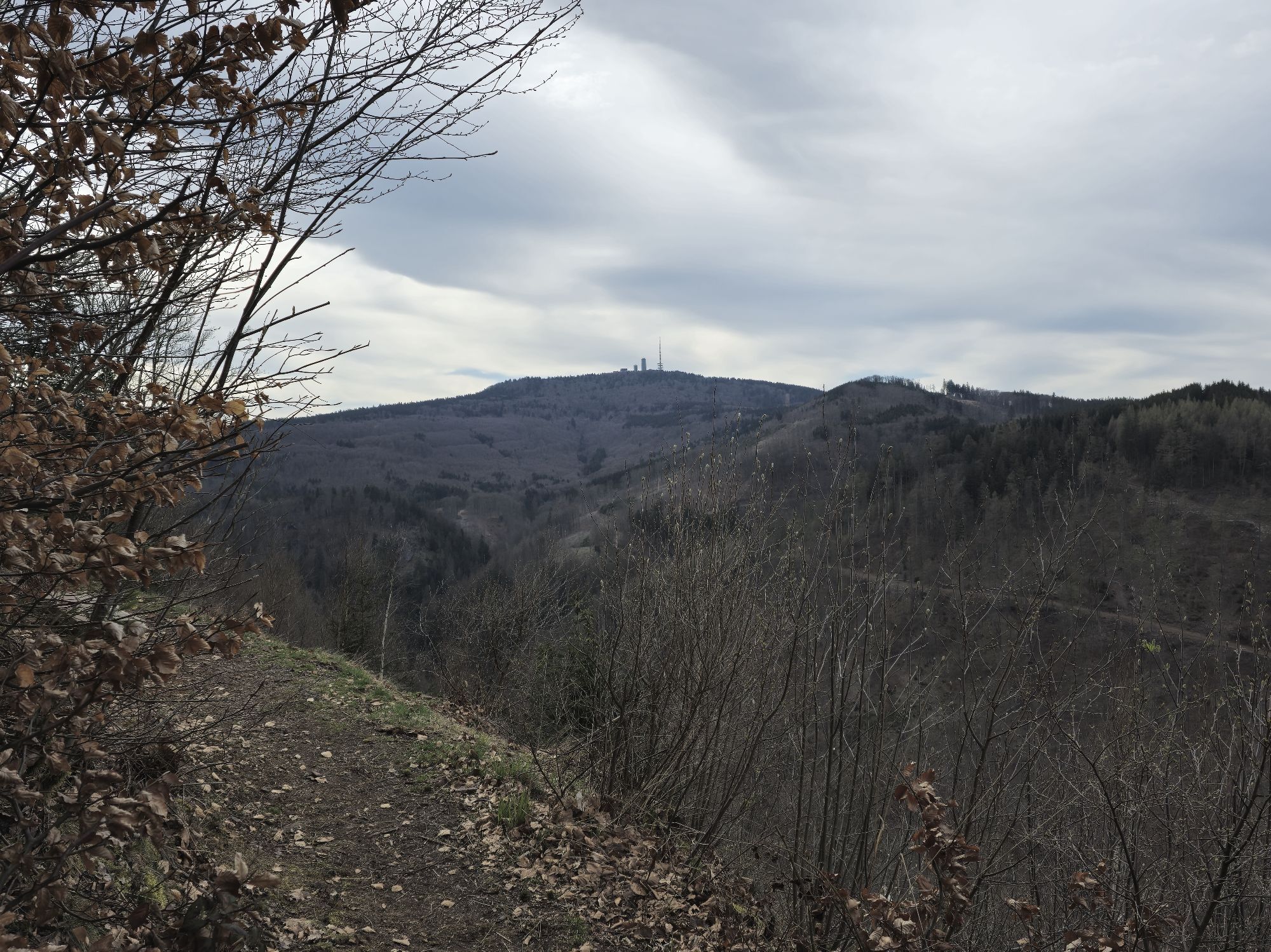
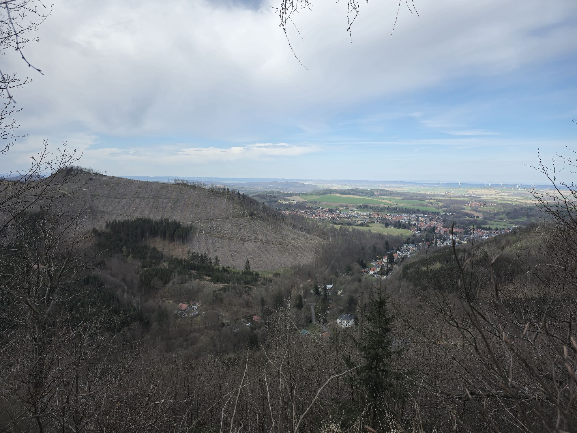
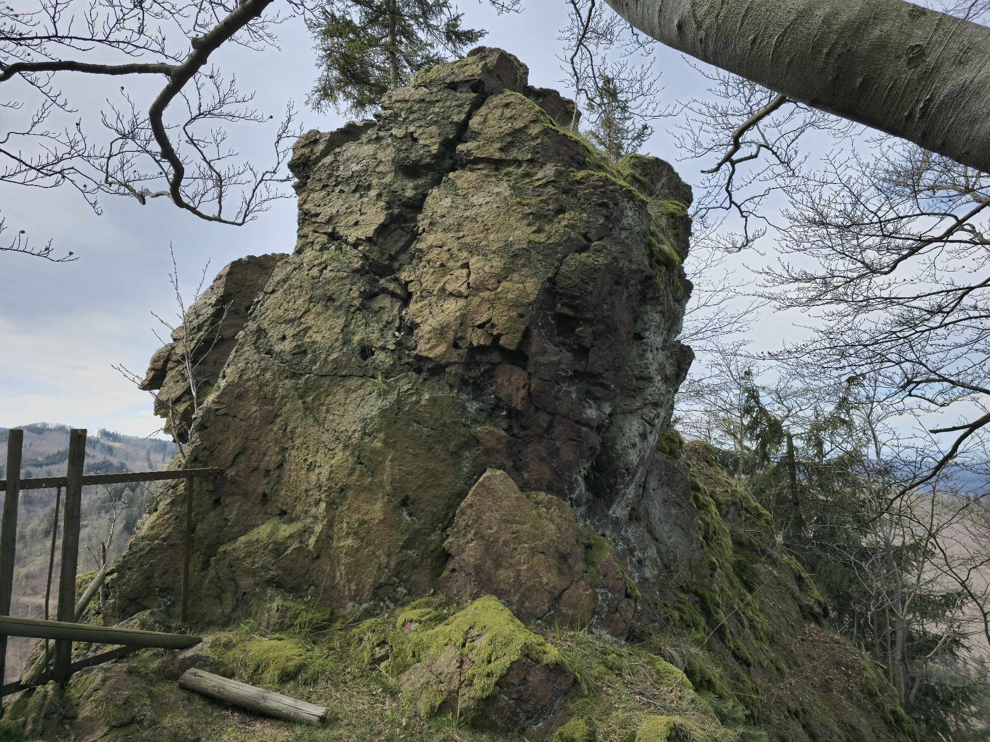
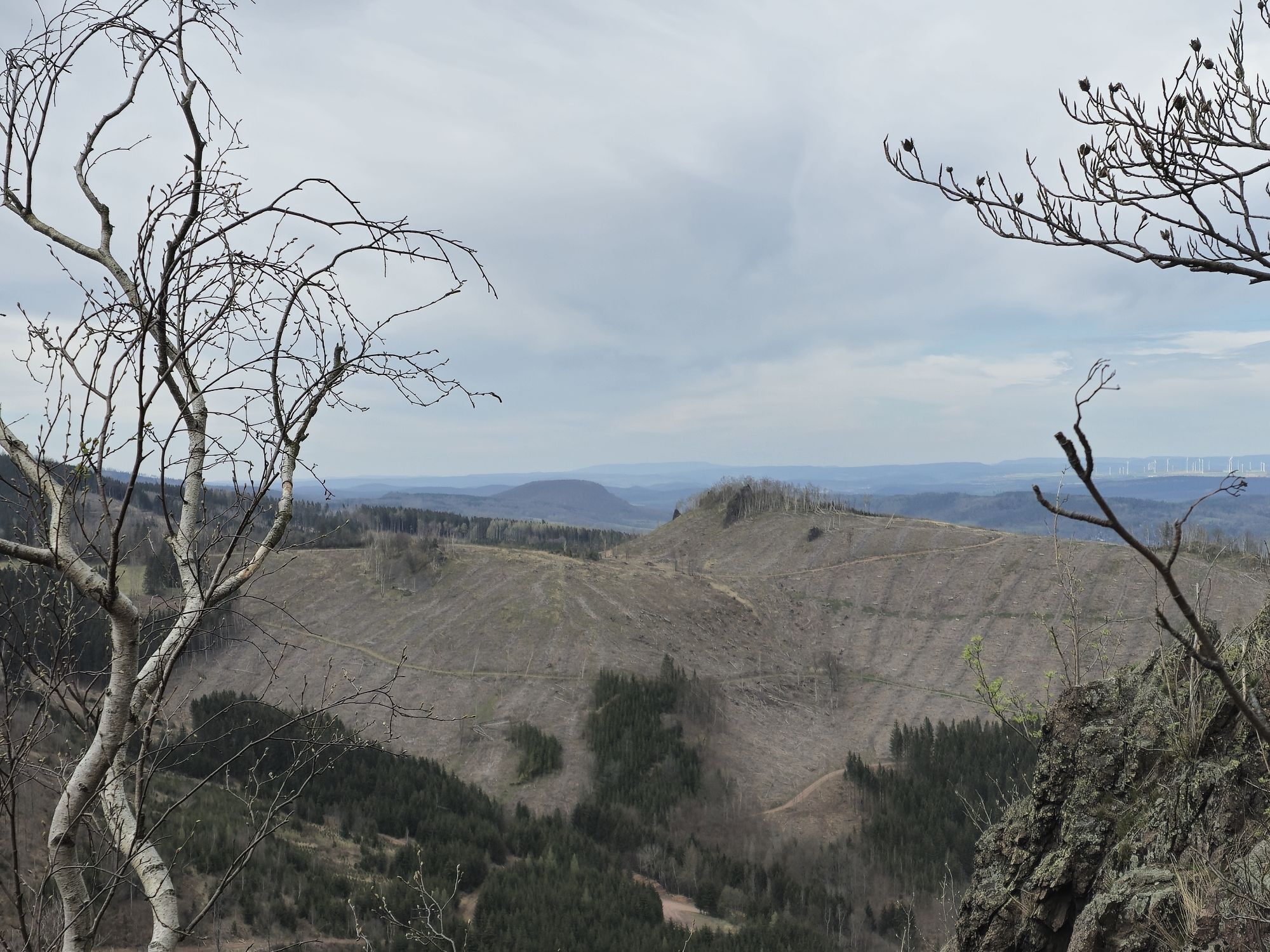
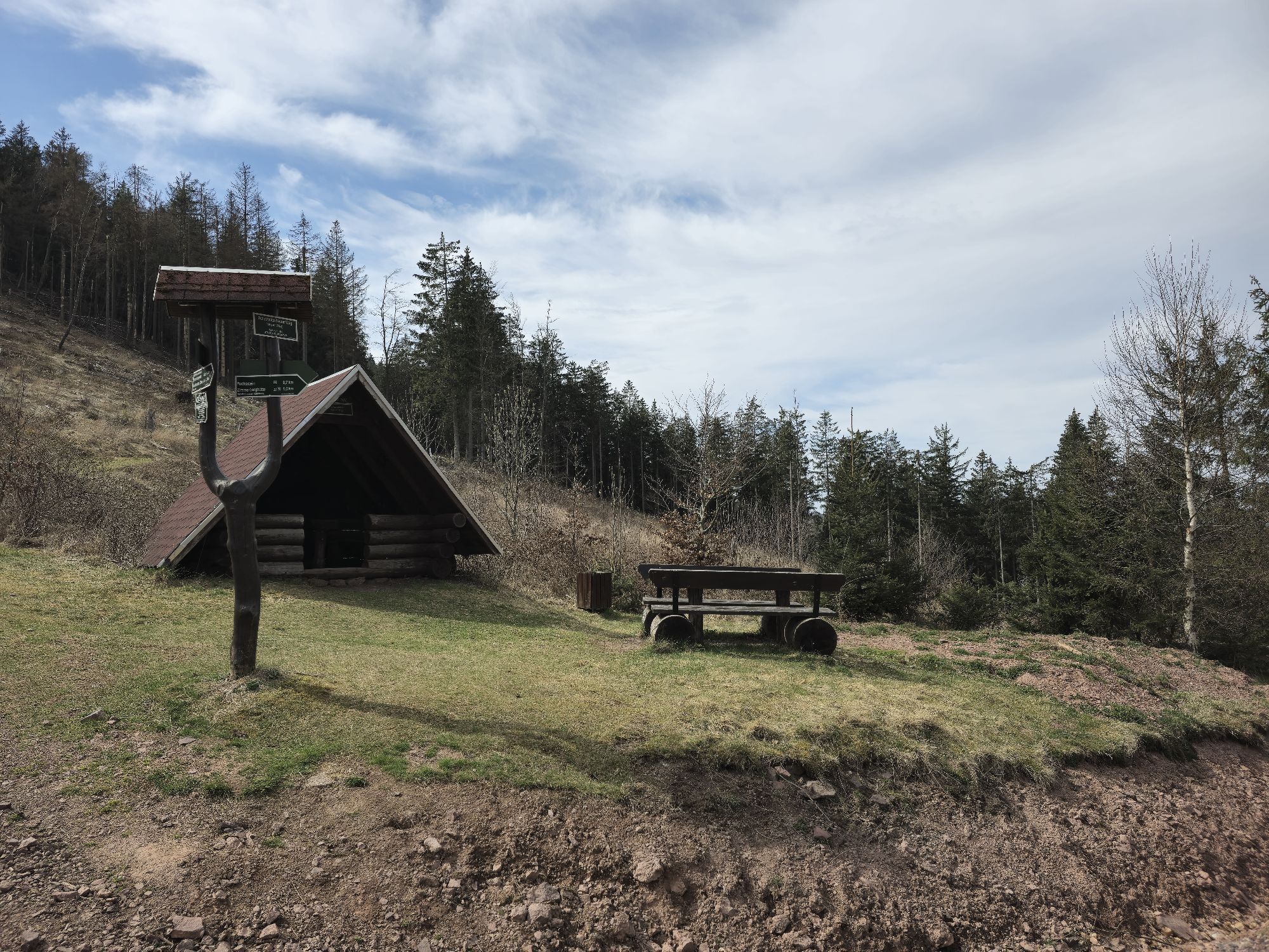
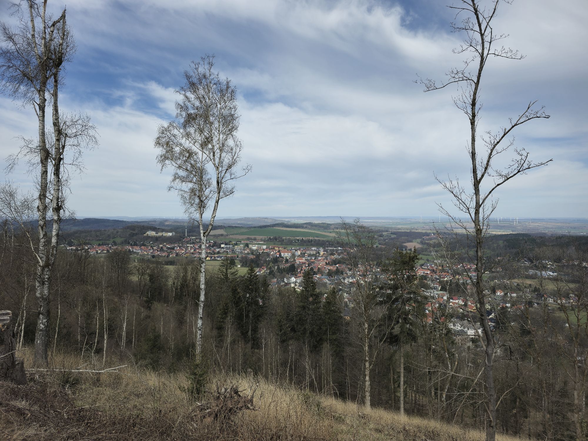
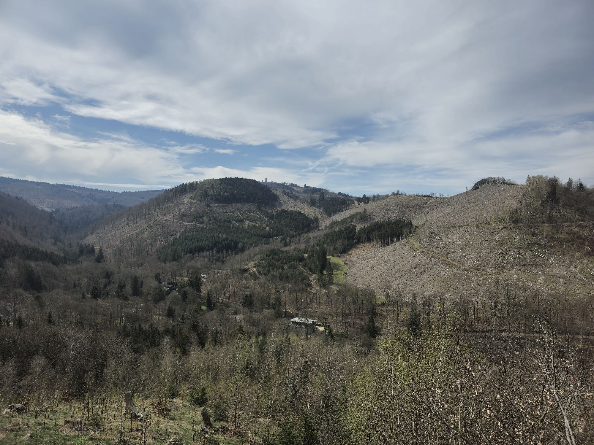
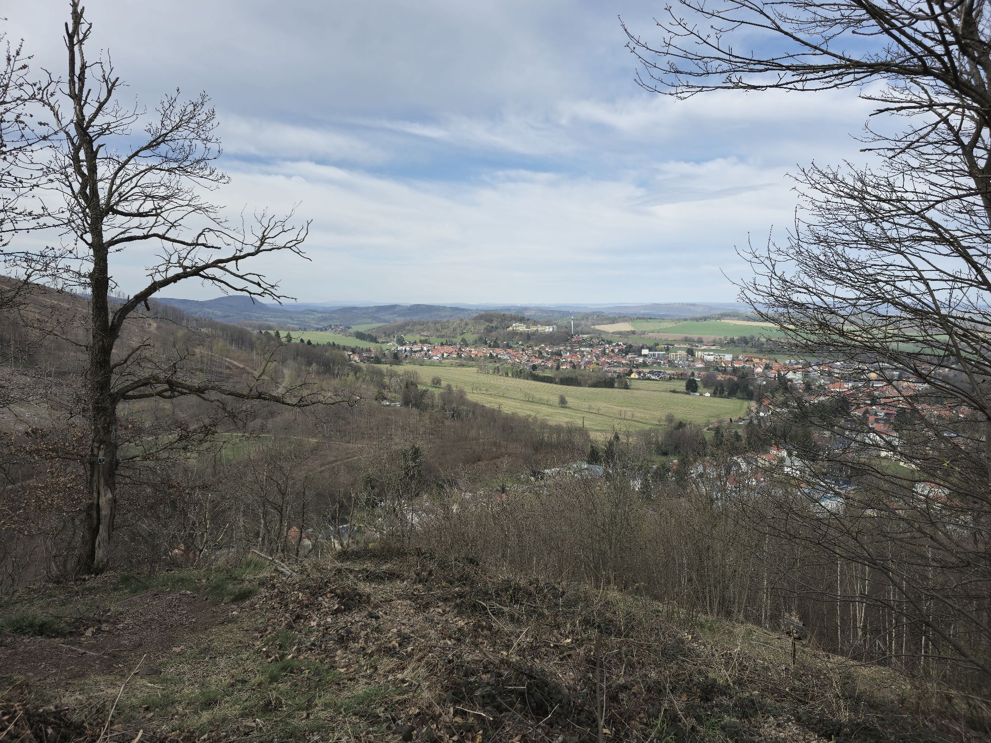
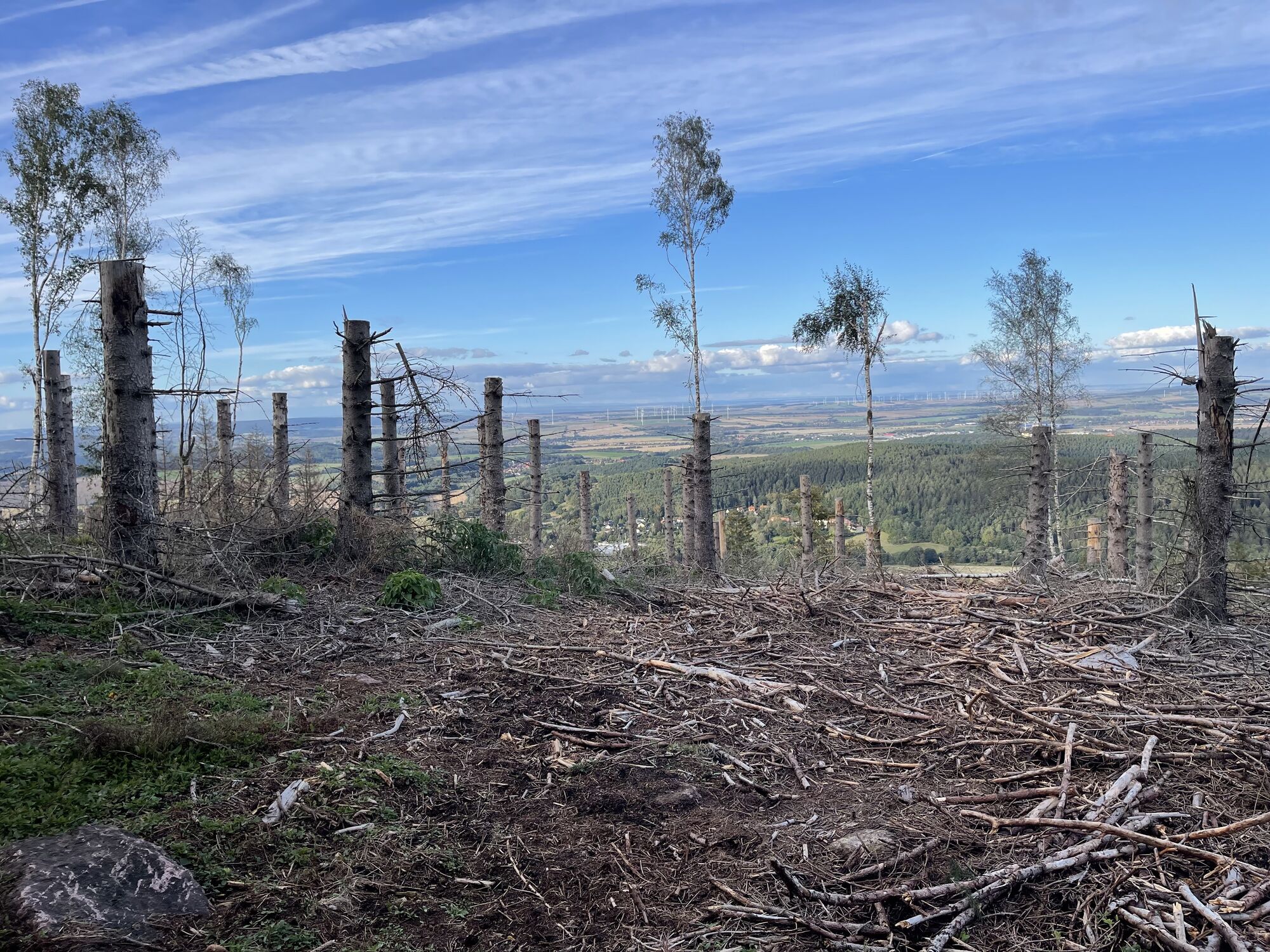
Route: Arenarisquelle-Tempelchen-Bärenbruch-Fünfarmiger Wegweiser - Gickelhahnsprung - Neuer Weg - Wildscheuer - Hexenbank(605m )- Schutzhütte Neuer Weg-Zimmerberghütte(630m) - Schnepfenweg -Friedensweg(42...
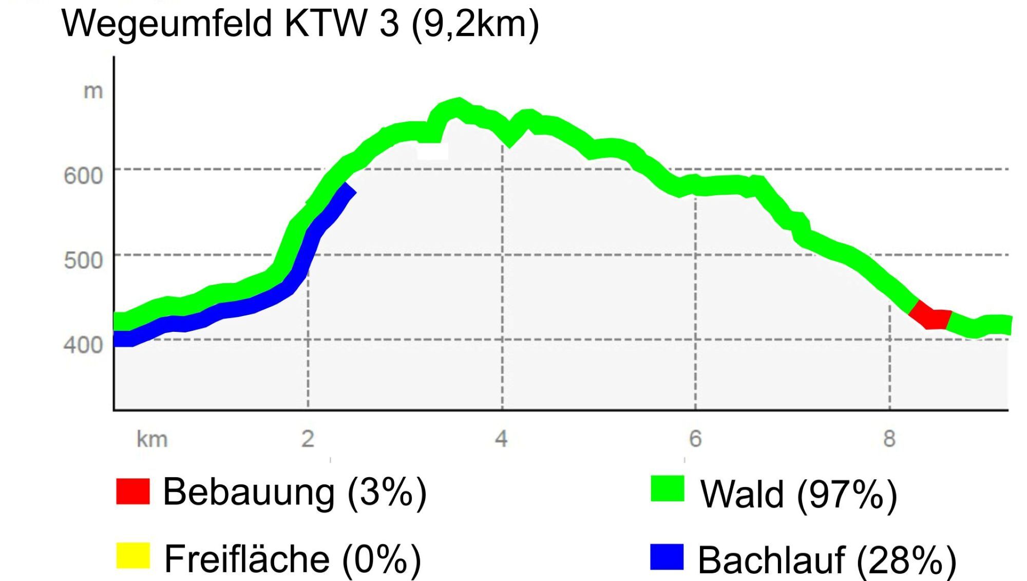
Distance: 9.2 km
Lowest point: 410 m Difficulty: difficult
Highest point: 712 m Color: red


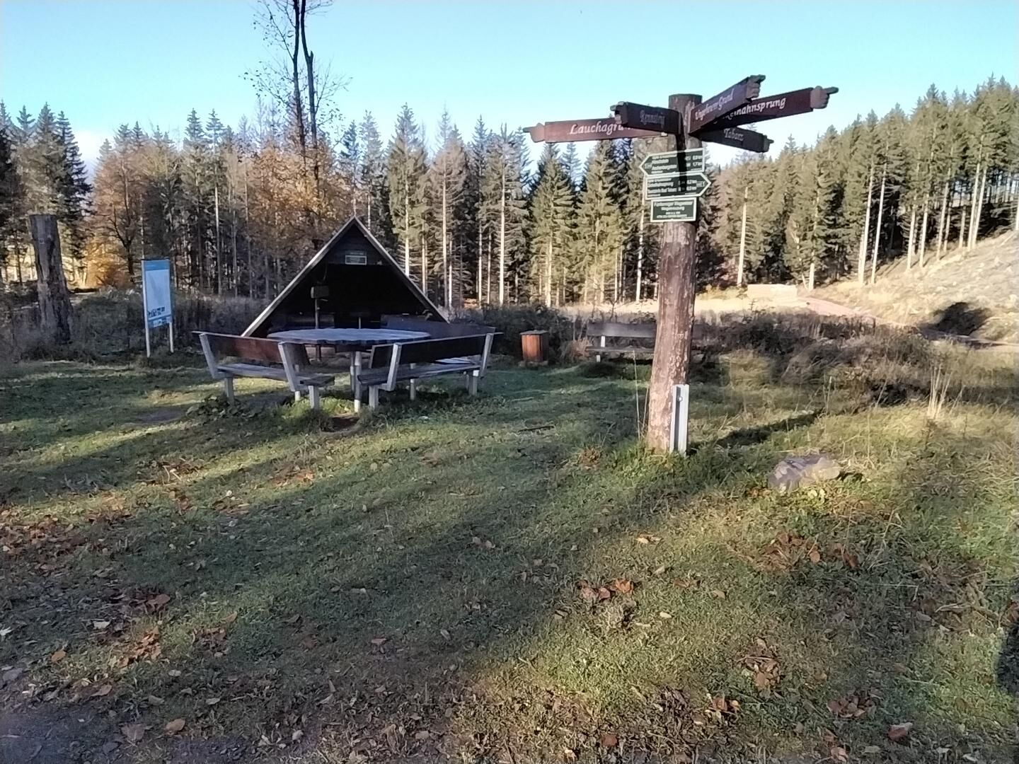
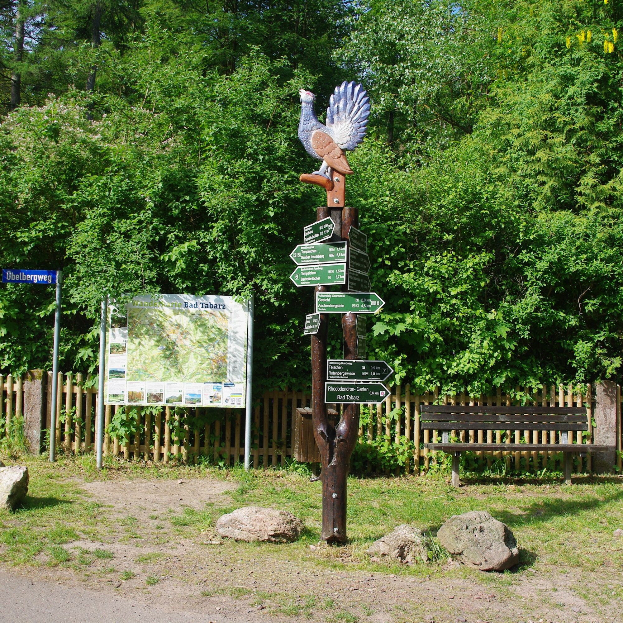
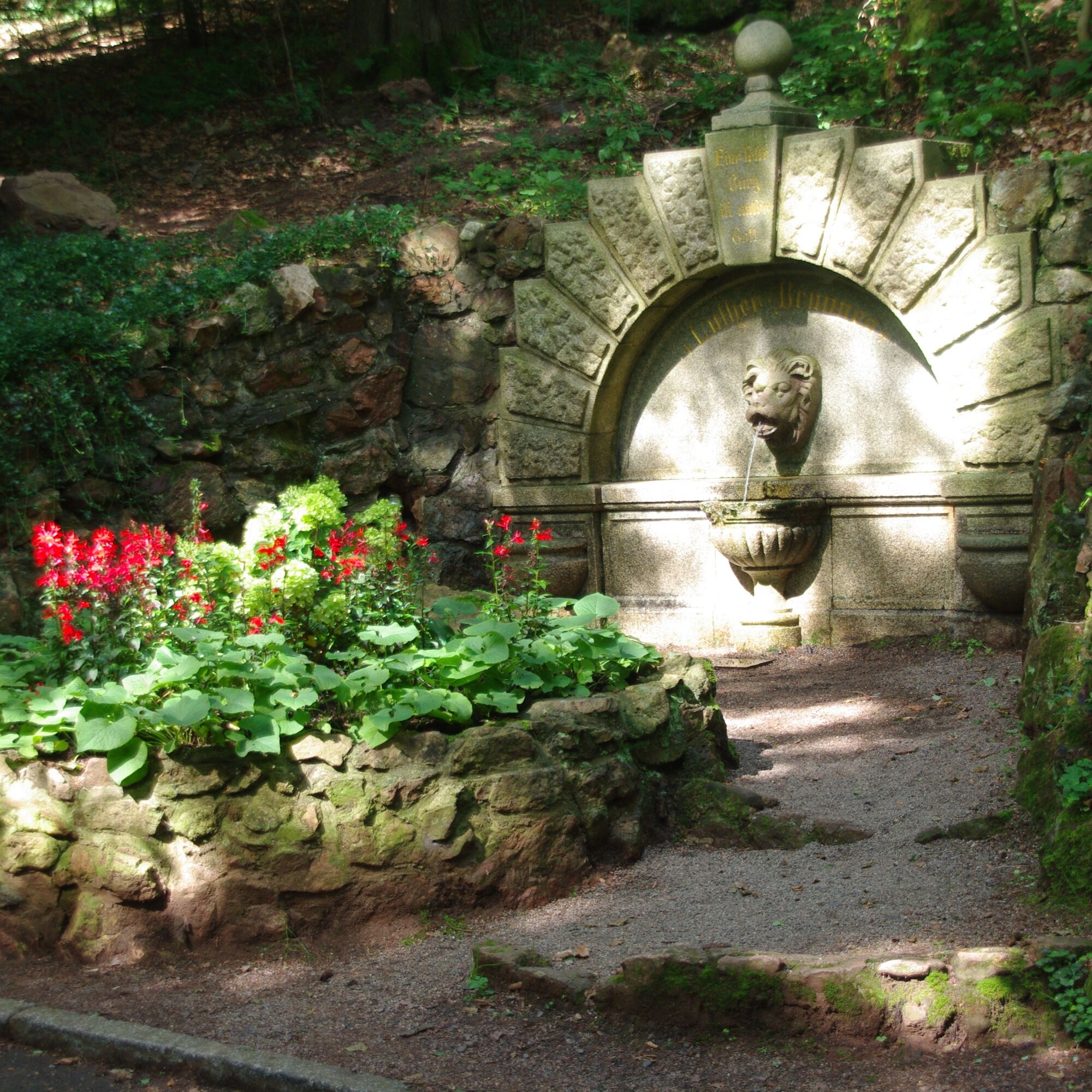
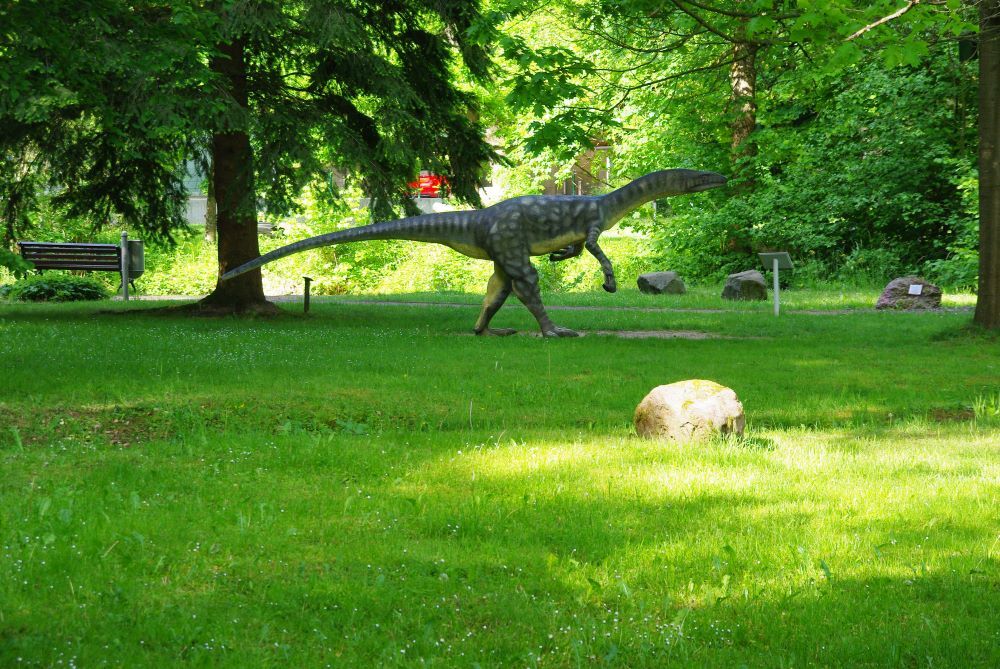
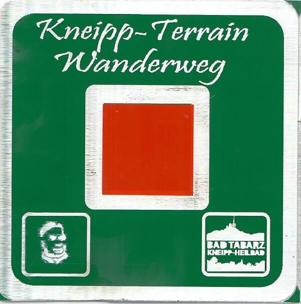


The path markings are a red square with a white border.
Áno
Áno
Rainwear
First aid kit
GPS navigation device or smartphone
Pack a snack and drinks for the road
Walk at your own risk!
Sturdy shoes and non-slip soles are important.
Navi input for Kneipp facility Arenaris: 99891 Bad Tabarz Lauchagrundstraße
GPS: N50.86779° E10.50995°
Take the train to Gotha main station. From there, take the Thuringian Forest Railway Line 4, which takes you on an interesting and leisurely ride through the foothills of the Thuringian Forest to the terminus at Bad Tabarz after approx. 45 minutes. If you already have a Bad Tabarz spa card, travel on the Waldbahn is free of charge.
www.vmt-thueringen.de or the VMT app
Bad Tabarz can be reached by bus lines 445/146 from Schmalkalden (DB connection), simply use the following link to plan your journey:
→ Travel to Bad Tabarz
Just add the desired travel date and your starting point.
There are further parking spaces in the town center behind the Sparkasse bank and in the Wandertreff area on Lauchagrundstraße.
You will find a large parking lot and motorhome parking space at the "tabbs" health spa.
There are a limited number of parking spaces directly at the starting point in Lauchagrundstraße.
T2
www.bad-tabarz.de
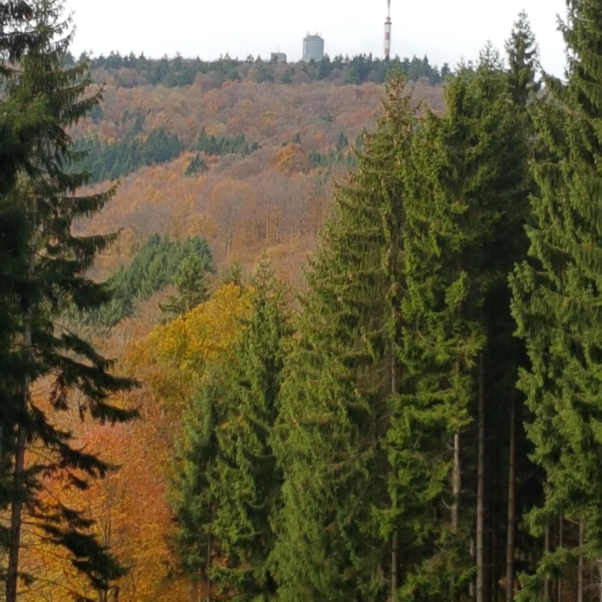
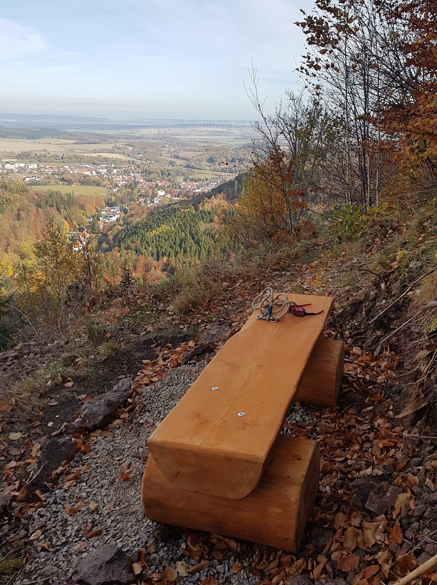
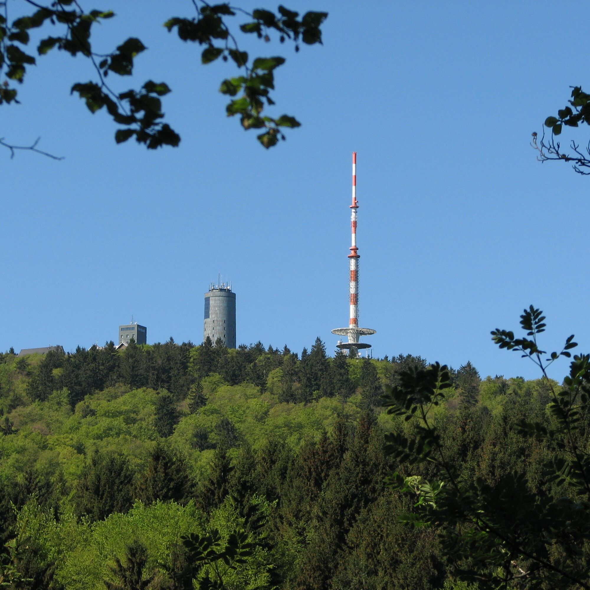
The views from the Zimmerberg, Hexenbank and Gickelhahn.
Webové kamery z prehliadky

Obľúbené výlety v okolí
-
4,6
Summit and panoramic route - Route 1 - Bad Tabarz
strednáTuristika 10,9 km -
4,4
Circular hike "Old Tambach Dam", Tambach-D., Thuringian Forest
strednáTuristika 8,33 km -
3,8
Wanderung zum Spitterfall
strednáTuristika 14,6 km -
4,8
Circular hike - Schmalwasser reservoir - Tambach-Dietharz - Thuringian Forest
strednáTuristika 13,8 km -
Tabarzer Vulkansteig
strednáTuristika 9,91 km -
4,5
Circular hike - Legendary Hörselberge - Great Hörselberg near Eisenach - Thuringian Forest
strednáTuristika 10,6 km -
4,4
Circular hiking trail - "Trusetal Landmark Route" - Thuringian Forest
svetloTuristika 4,02 km -
4,8
Inselsberg tour - Tour 2 - Bad Tabarz
ťažkéTuristika 15,1 km -
3,7
Backofenloch circular route - route 6 - Bad Tabarz
strednáTuristika 7,04 km -
3,2
Von Friedrichroda zum großen Inselsberg
strednáTuristika 22,4 km
Turistika a stopovanie


Nenechajte si ujsť ponuky a inšpiráciu na ďalšiu dovolenku
Vaša e-mailová adresa bol pridaný do poštového zoznamu.





