







Elgersburg: Around the Rumpelsberg
Úroveň náročnosti: T2
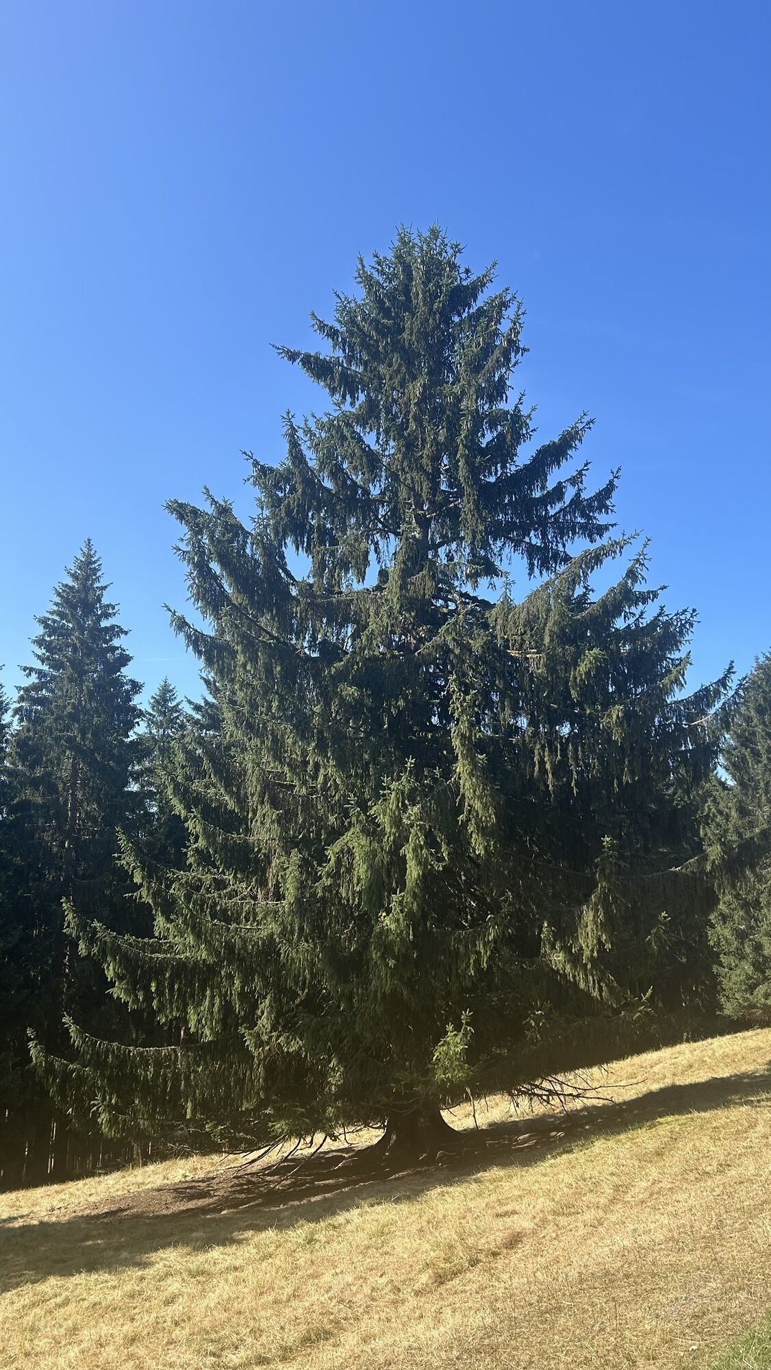
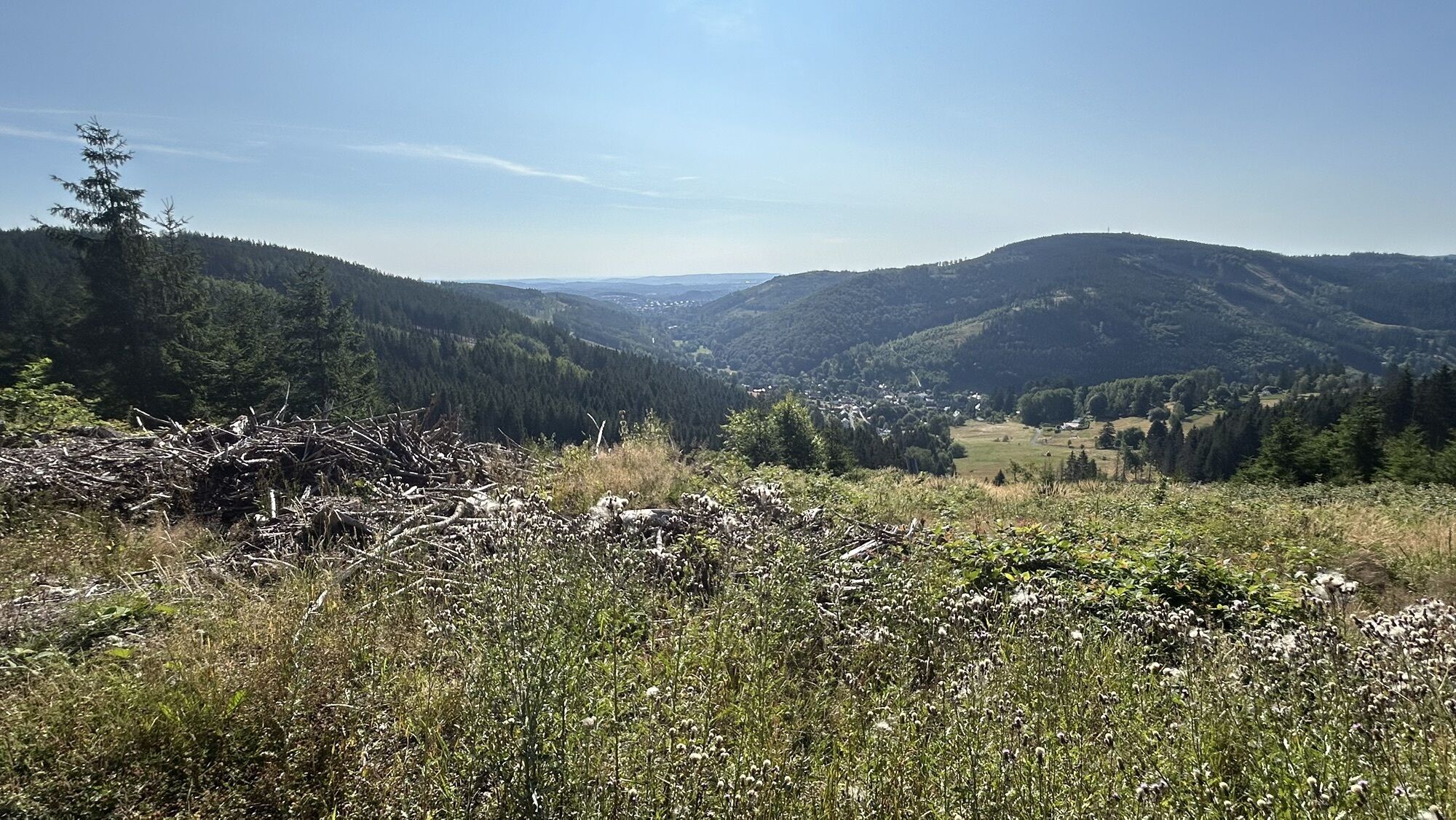
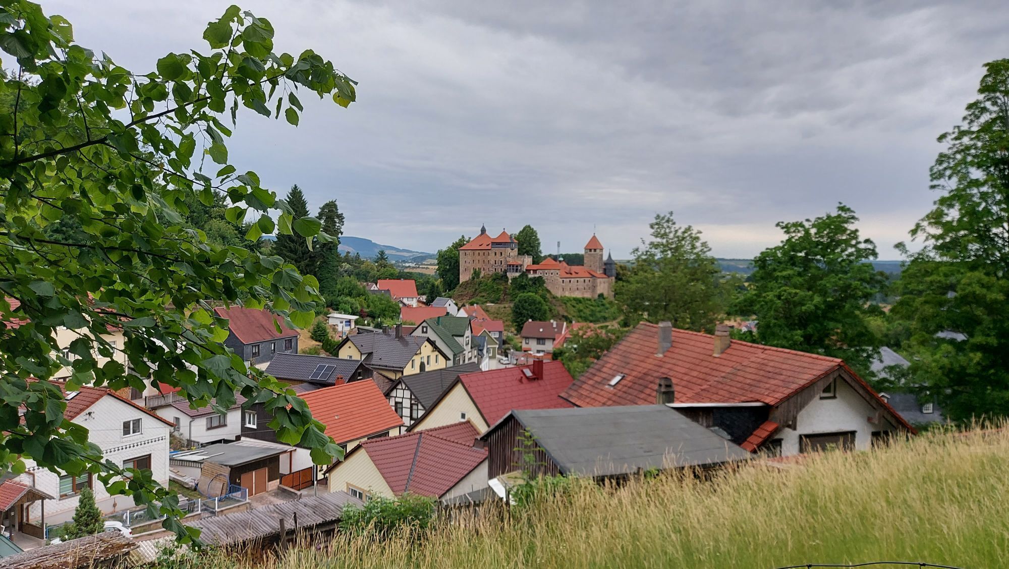
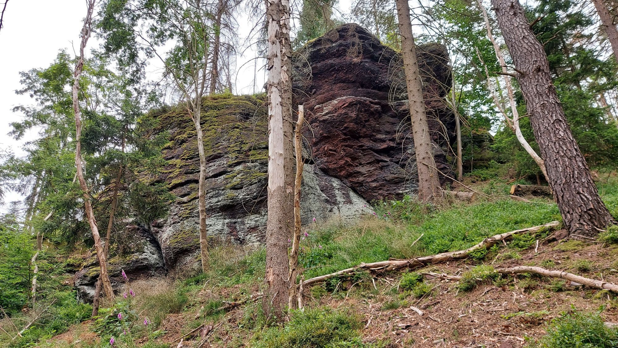
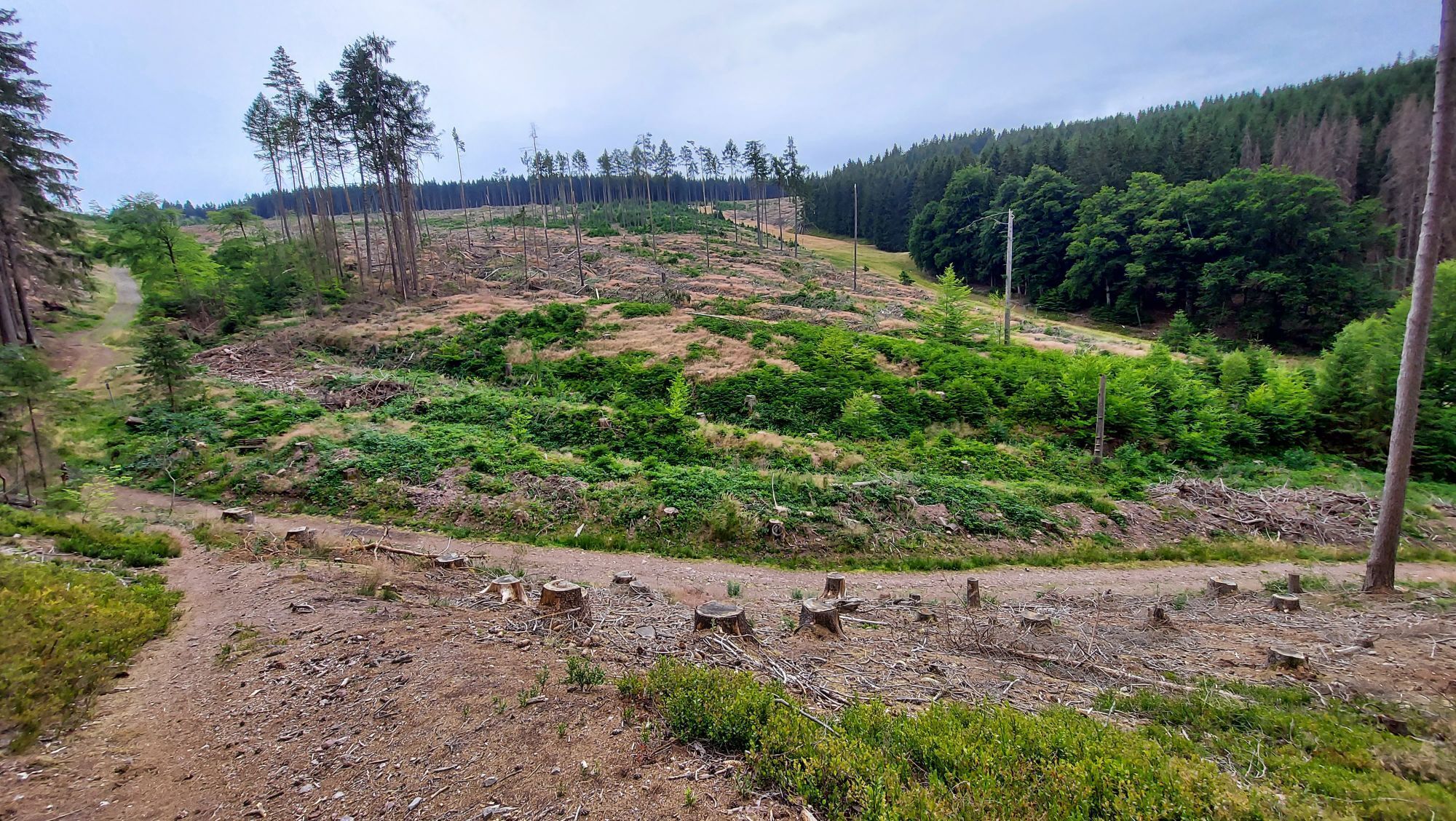
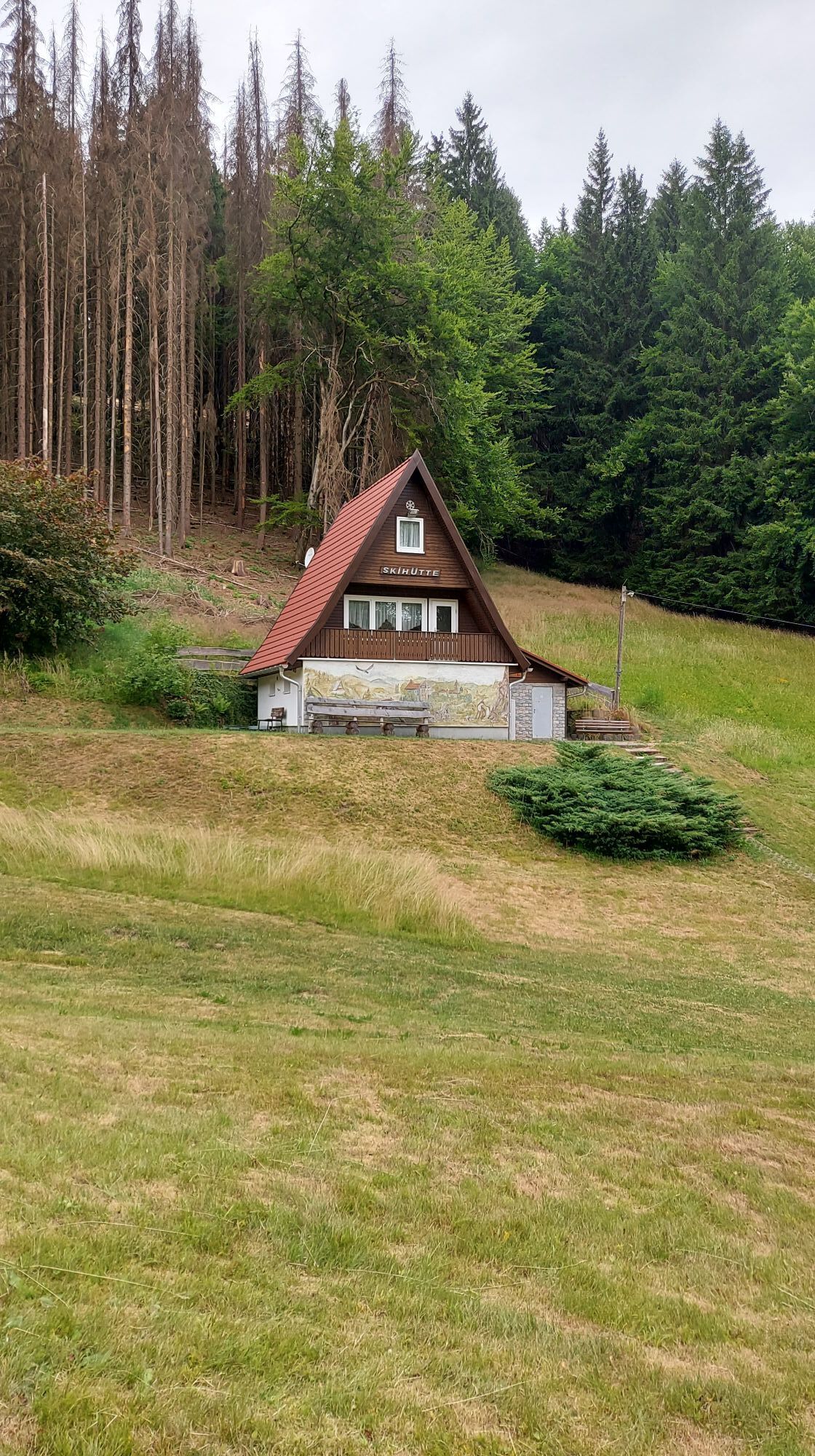
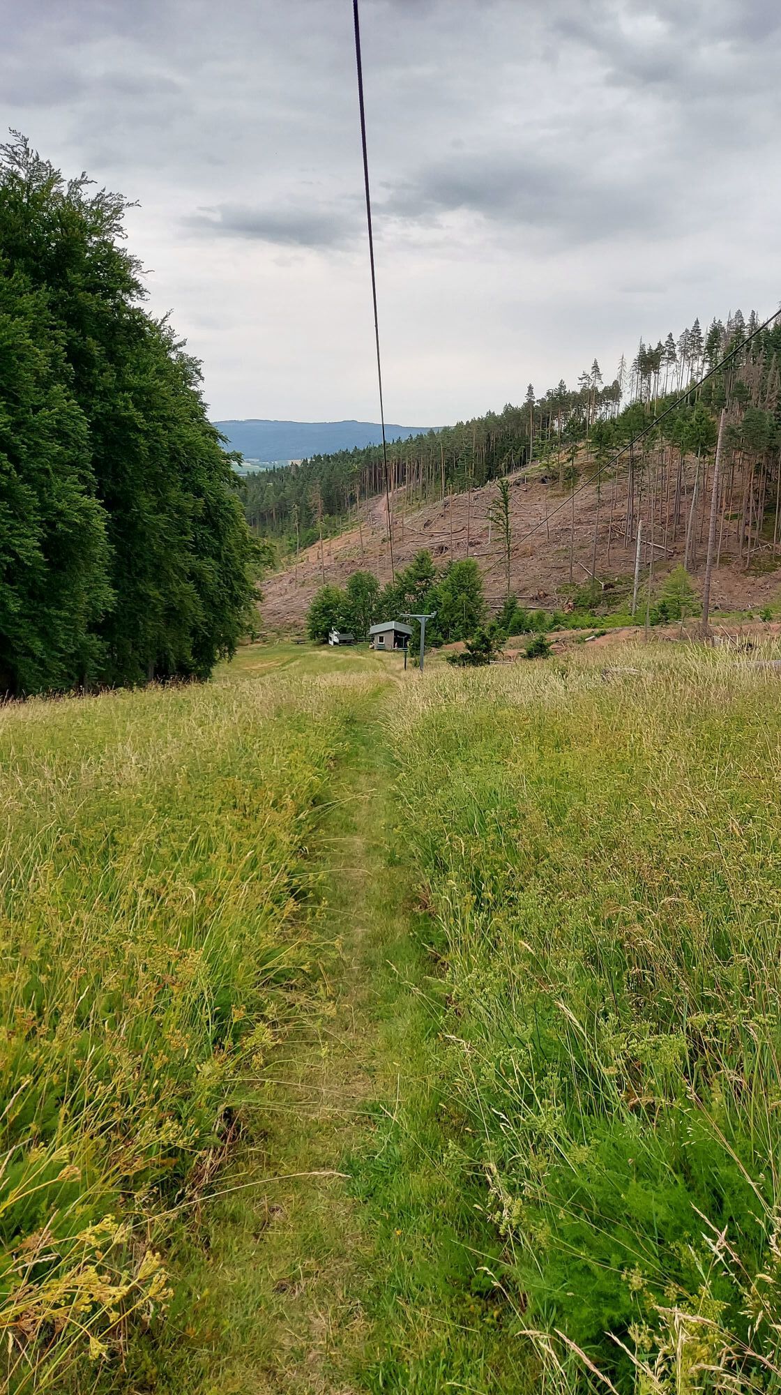
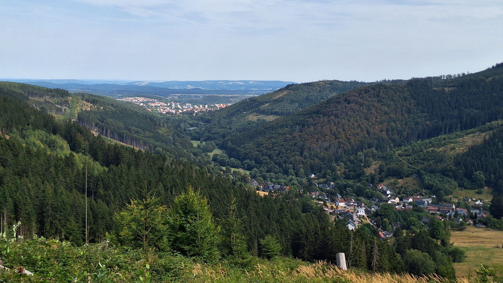
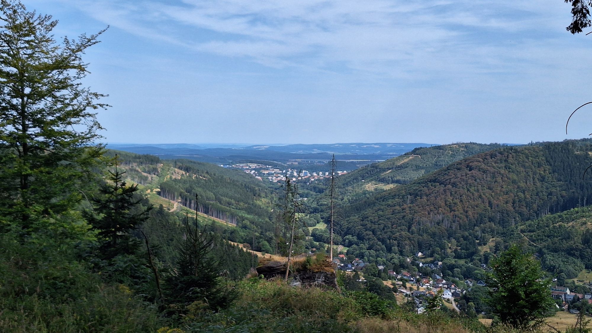
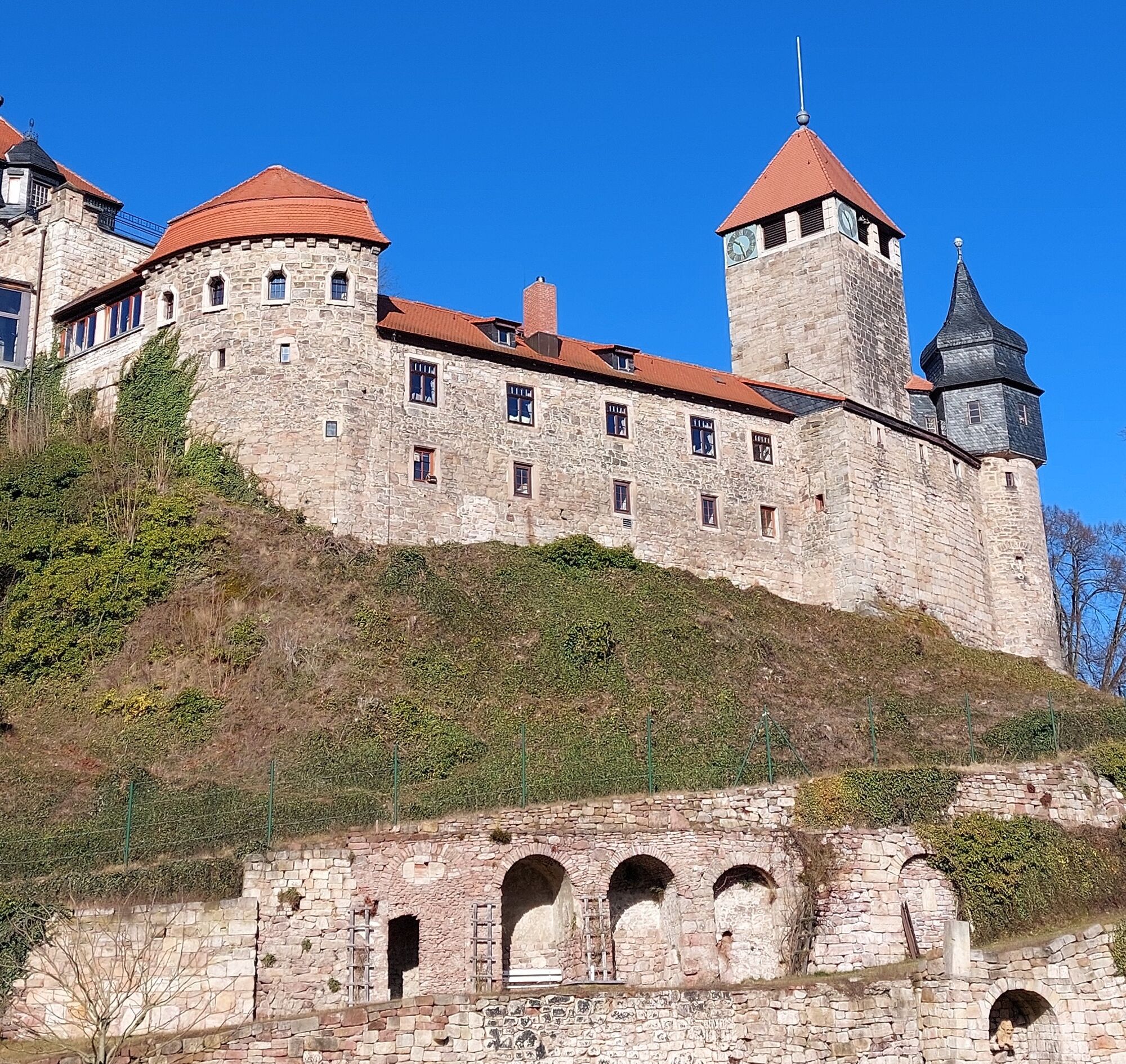
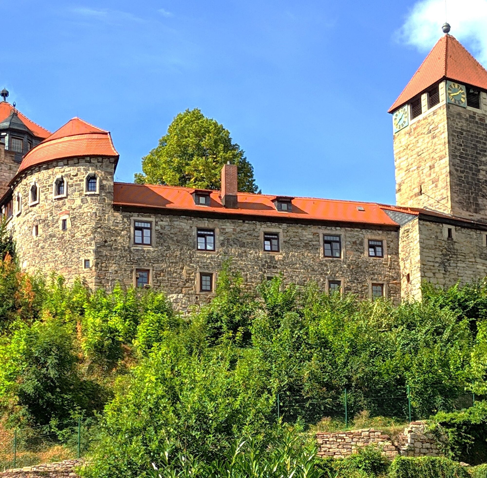
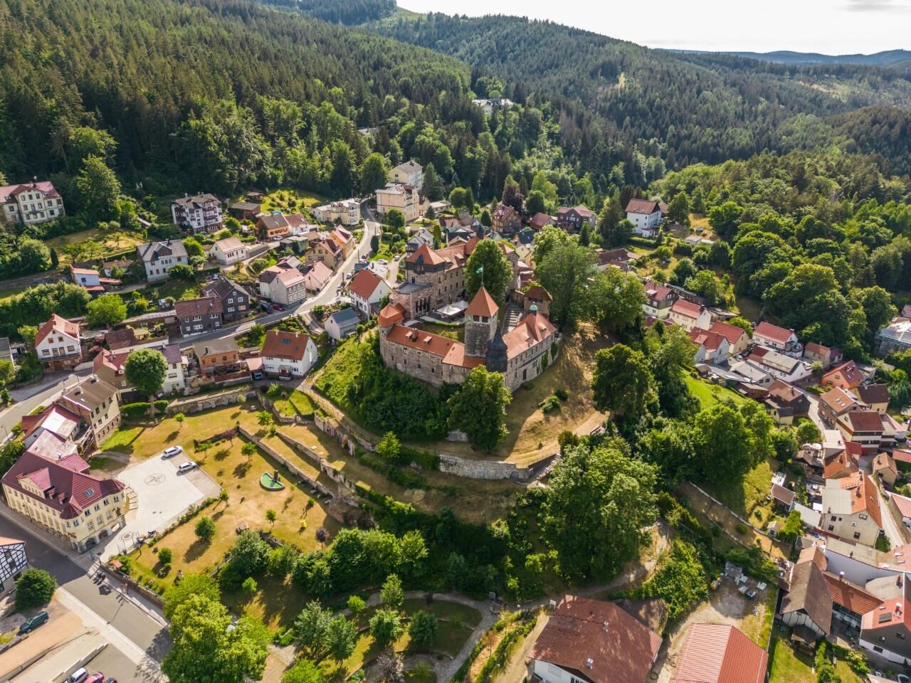
The municipality of Elgersburg is located on the north side of the Thuringian Forest at an altitude of 500 meters. The village is characterized by the impressive castle and its former cold-water spa.
The...
The starting point of the hike is the treading pool at the end of the village on Steigerstraße. From there, the trail climbs up to the Alexandrinenhöhe, a former popular vantage point overlooking the Thuringian basin.
The trail takes a wide loop around the Rumpelsberg. There are detours to the Hohe Warte, the Möchshorf and the Schöffenhaus, although these excursion destinations are not reached directly.

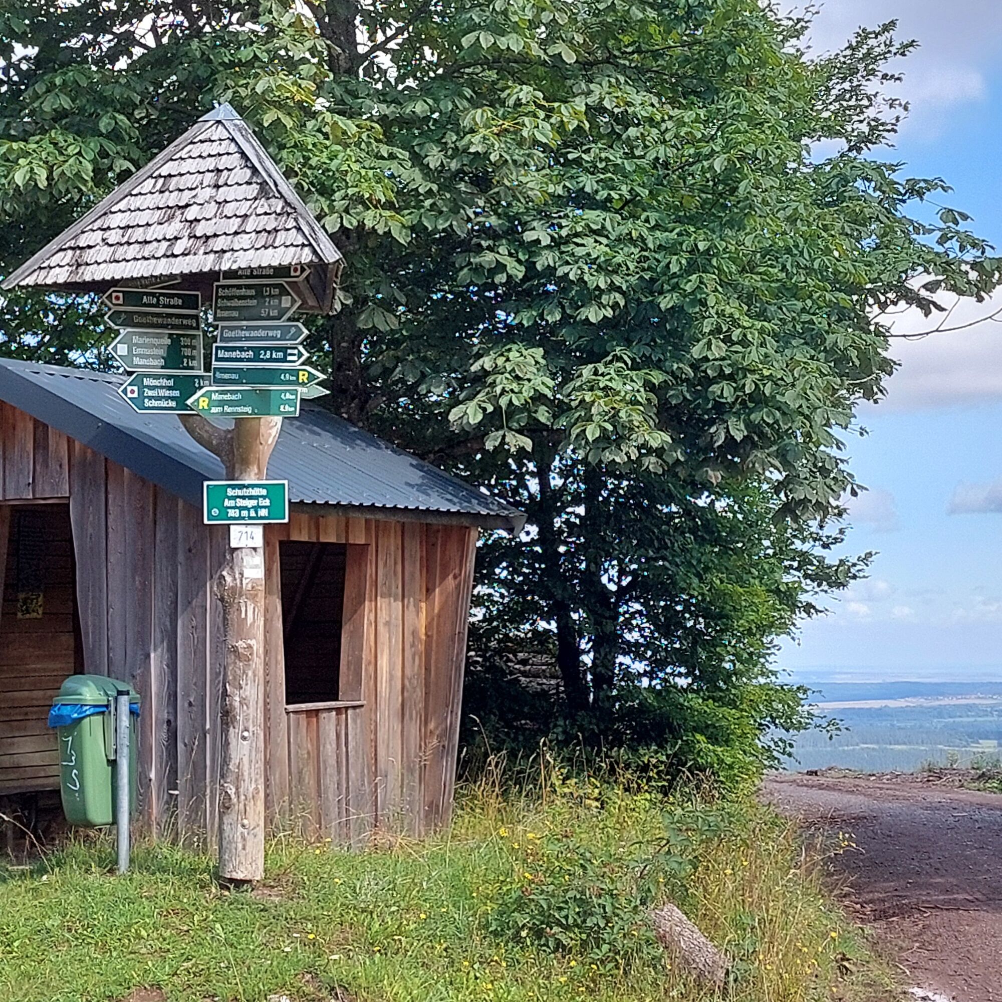
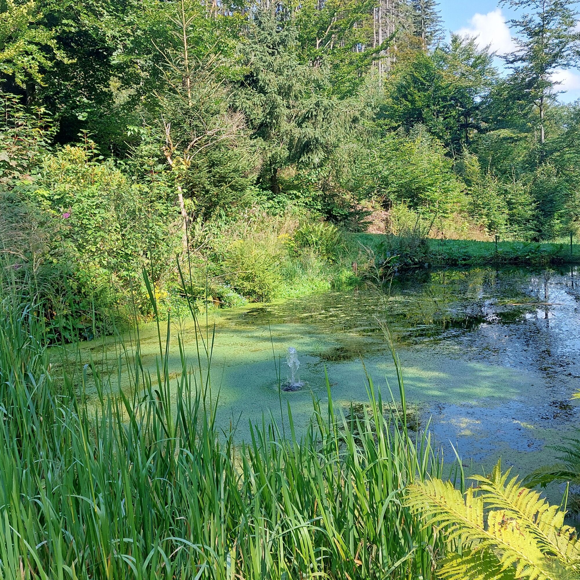
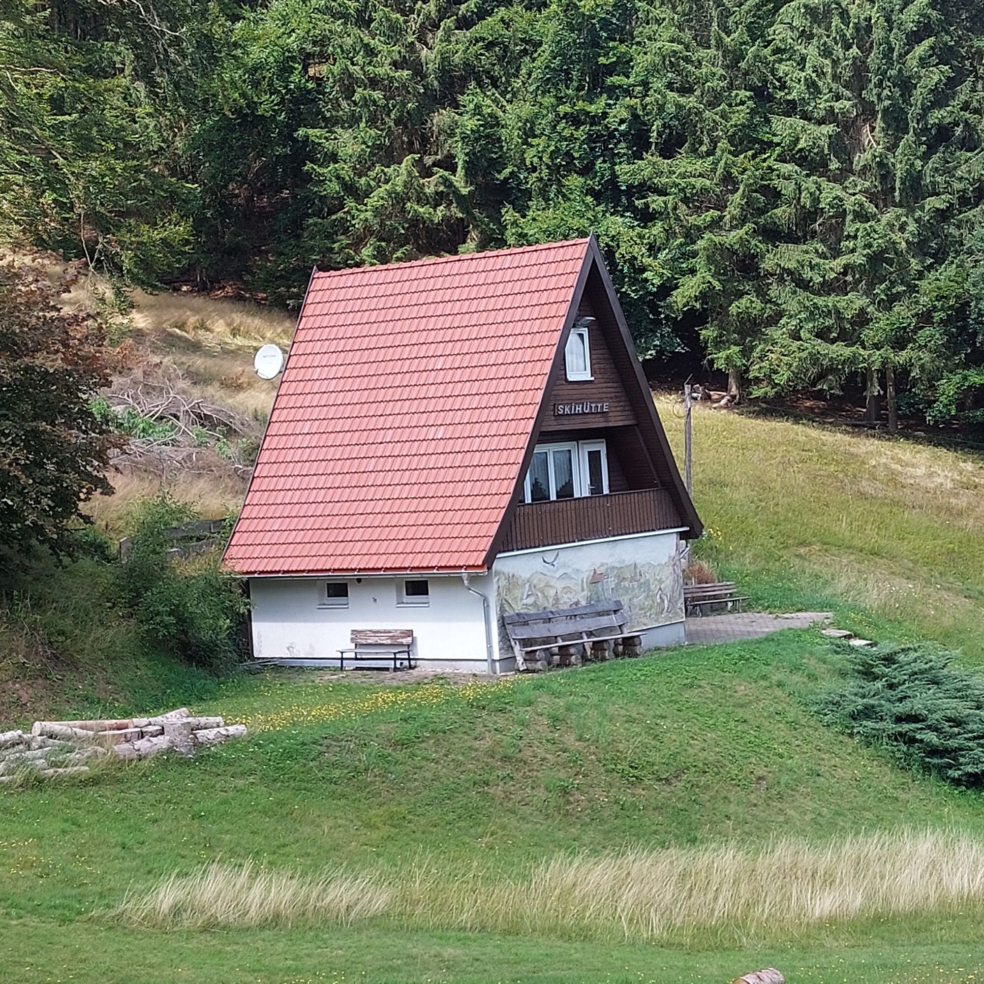

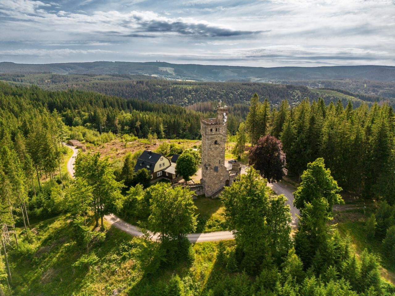

The route continues uphill. The path leads to the Rumpelsberg (799 m). This is the highest mountain in the municipality of Elgersburg. When you reach the Kirsthüttenweg, follow it to the right in the direction of "Hohe Warte". The actual Rumpelsberg is now bypassed in a large loop. The "Hohe Warte" is left to the right and the path now leads in the direction of "Mönchhof". Once you reach the "Alte Straße", it is about 750 meters to the mountain inn "Mönchhof". The inn (closed on Mondays and Tuesdays) is not on the direct hiking route. This leads along the old road to the left in the direction of "Marienquelle" and on to "Steiger Eck".
The circuit of the Rumpelberg (799 m) ends at the "Steiger Eck" and the route leads downhill through the Kohltal valley back to the starting point of the hike.
Hiking equipment is advisable.
A general level of fitness is required due to the altitude difference.
Arrival by car via the A 71 (Imenau-West junction). Drive in the direction of Ilmenau and after approx. 1 km turn right in the direction of the "Elgersburg" signs.
Arrival by bus via Ilmenau possible.
A small number of parking spaces (free of charge) are available in the area around the pedal pool.
T2
Halfway along the route, a detour to the Mönchhof (closed Mon+Tues) is worthwhile.
Získajte prehľad
Vždy naživo na mieste s viac ako 9 500 webovými kamerami. bergfex Ako používateľ Pro si teraz môžete pozrieť príslušné webové kamery pre mnohé zájazdy v aplikácii zájazdy z. Môžete si tak priamo prezerať aktuálne podmienky.
Obľúbené výlety v okolí
-
4,3
Rund um die Ohratalsperre
svetloTuristika 14,5 km -
3,0
Circular hike - "4 ponds hike" Neustadt am Rennsteig - Thuringian Forest
ťažkéTuristika 12,6 km -
4,8
Circular hike - Schmalwasser reservoir - Tambach-Dietharz - Thuringian Forest
strednáTuristika 13,8 km -
4,6
Hike over the Rennsteig & the Schneekopf to the Schmücke
ťažkéTuristika 21,0 km -
The Rennsteig - long-distance hiking trail from Hörschel to Blankenstein - Thuringian Forest
ťažkédiaľková pešia trasa 169,0 km -
4,0
Circular hiking route "Oberschönauer Felsenwanderung" - Steinbach-Hallenberg - Thuringian Forest
ťažkéTuristika 12,0 km -
4,0
Zu den Schanzen im Kanzlersgrund
strednáTuristika 9,58 km -
Circular hiking route - Ruppberg - Thuringian Forest
strednáTuristika 11,4 km -
4,2
Circular hiking route - "Zunft & Kloß" - Zella-Mehlis - Thuringian Forest
ťažkéTematická trasa 6,83 km -
4,0
TOP 5 - circular hiking route - "Forsthaus Sattelbach" - Oberhof
svetloTuristika 3,67 km
Turistika a stopovanie


Nenechajte si ujsť ponuky a inšpiráciu na ďalšiu dovolenku
Vaša e-mailová adresa bol pridaný do poštového zoznamu.





