


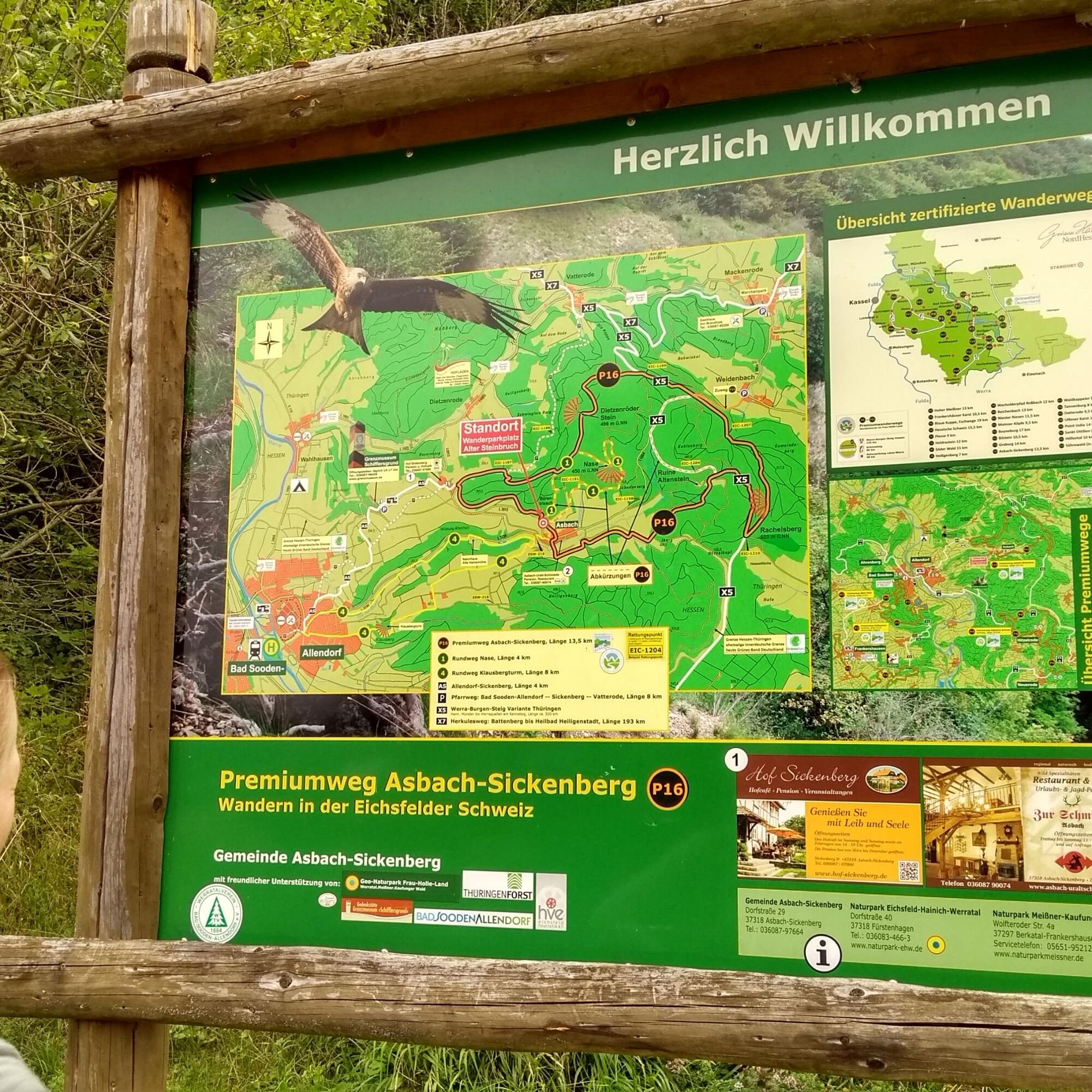
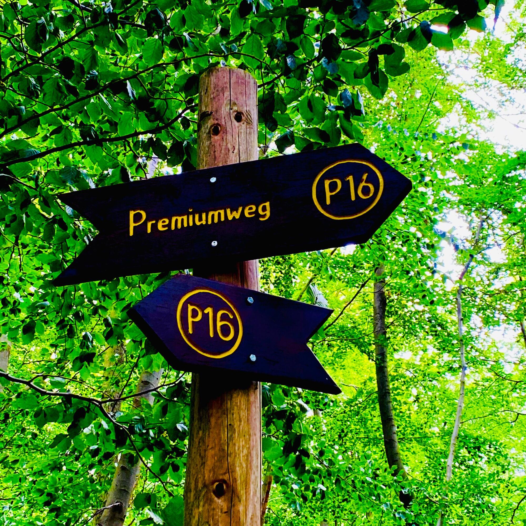
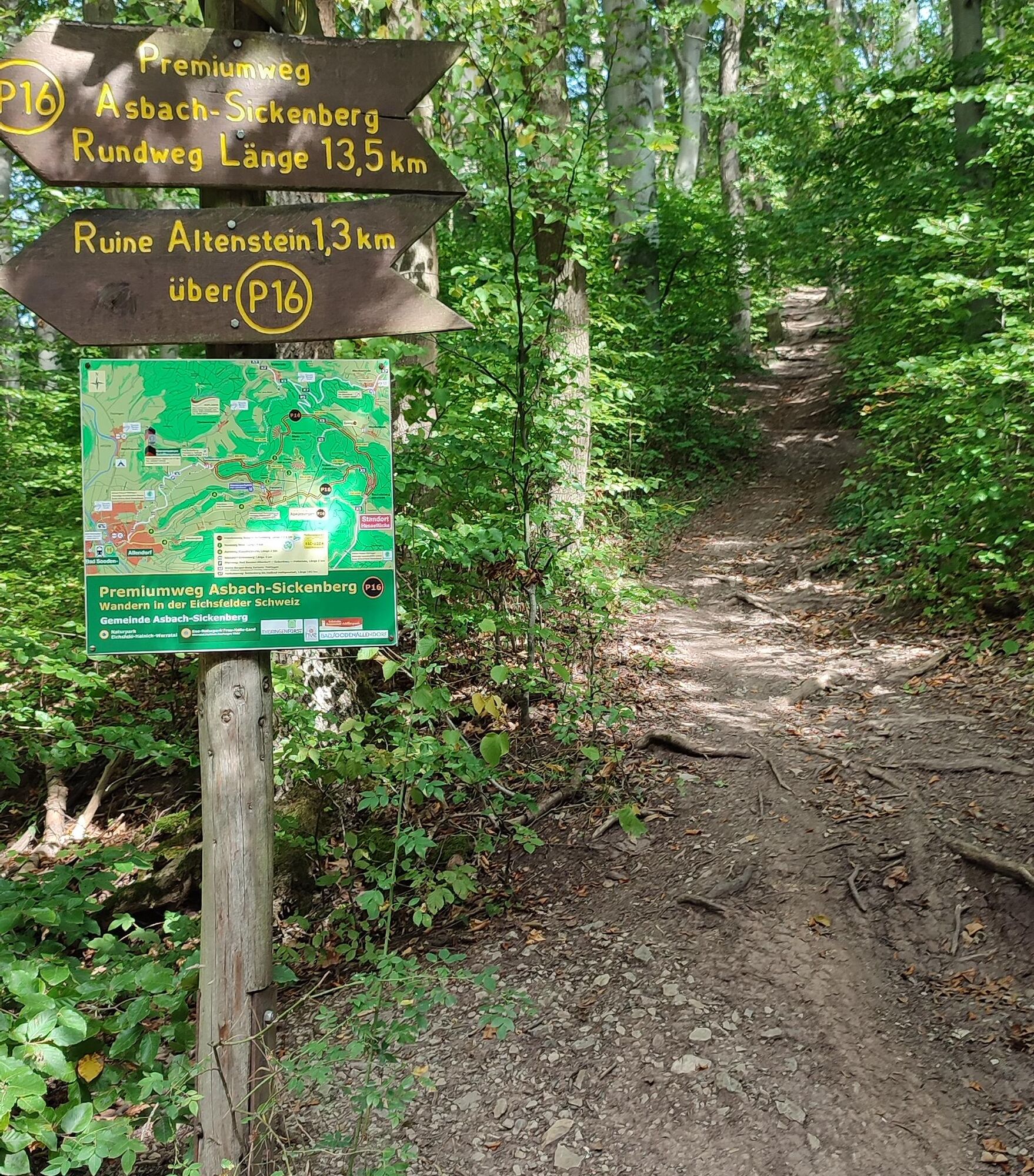
Premium trail P16 Asbach-Sickenberg - Walkable Green Belt
In the 716-hectare FFH area Stein-Rachelsberg-Gobert, beech mixed forest spreads over extensive carpets of plants on a mountain plateau. The FFH area is part of the European Natura 2000 network of protected...
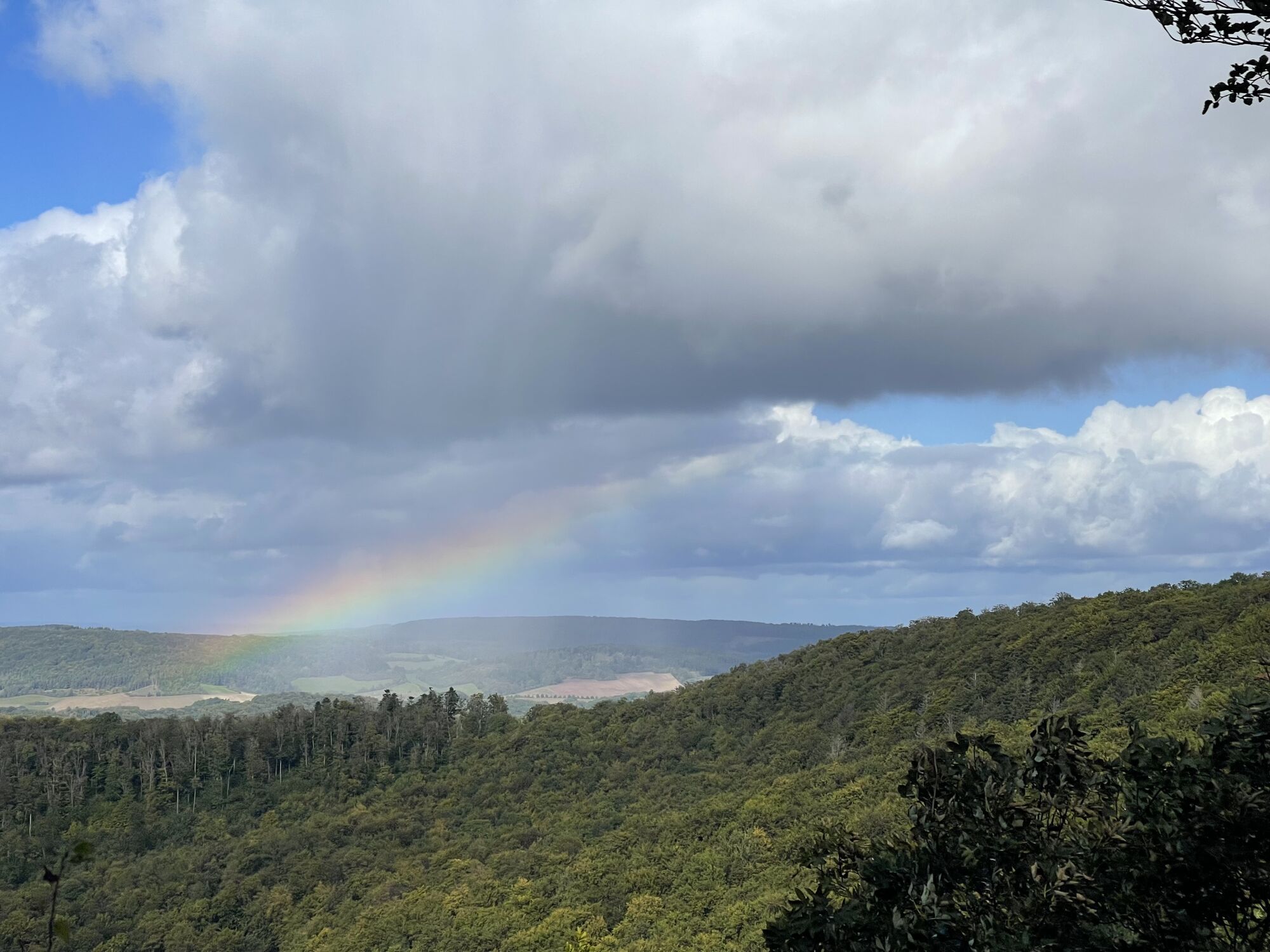
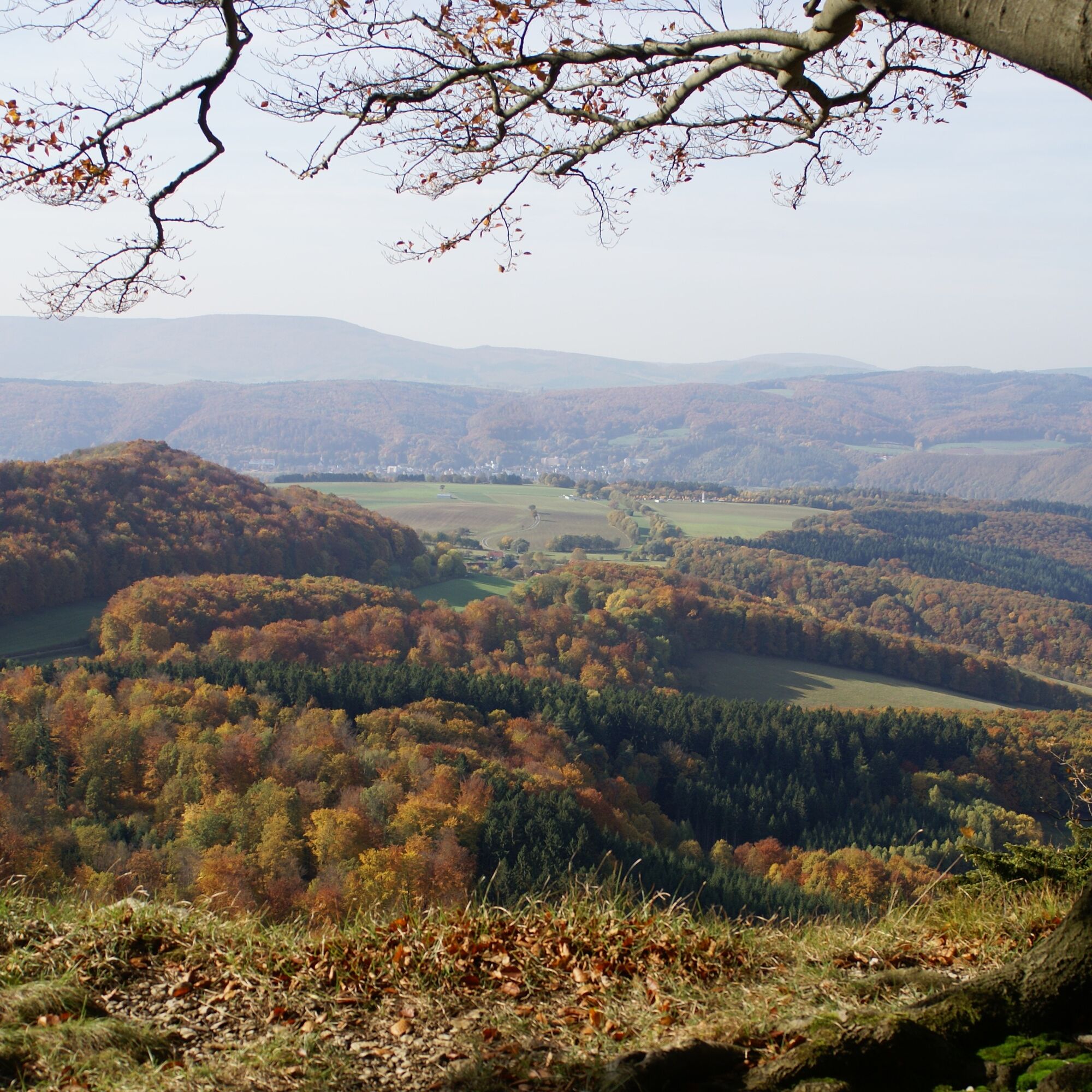
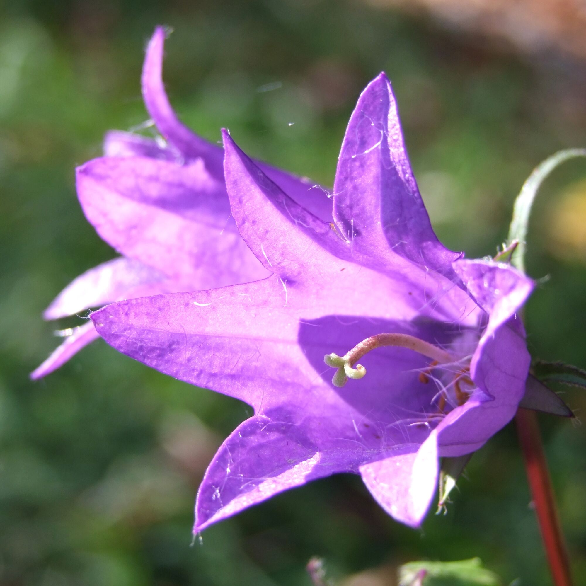
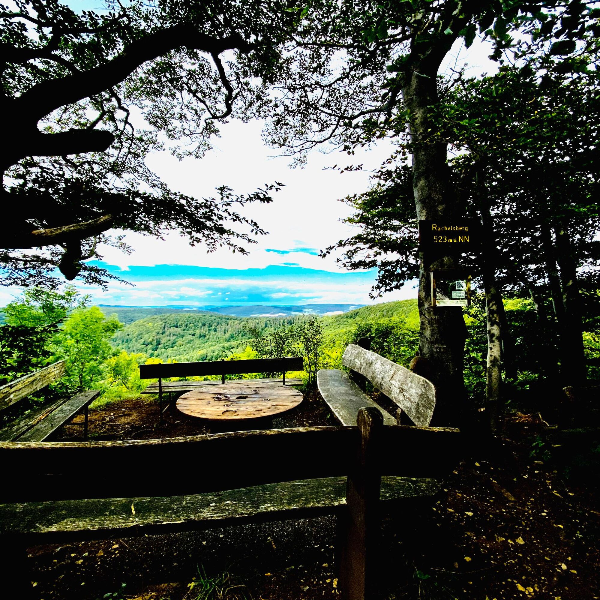
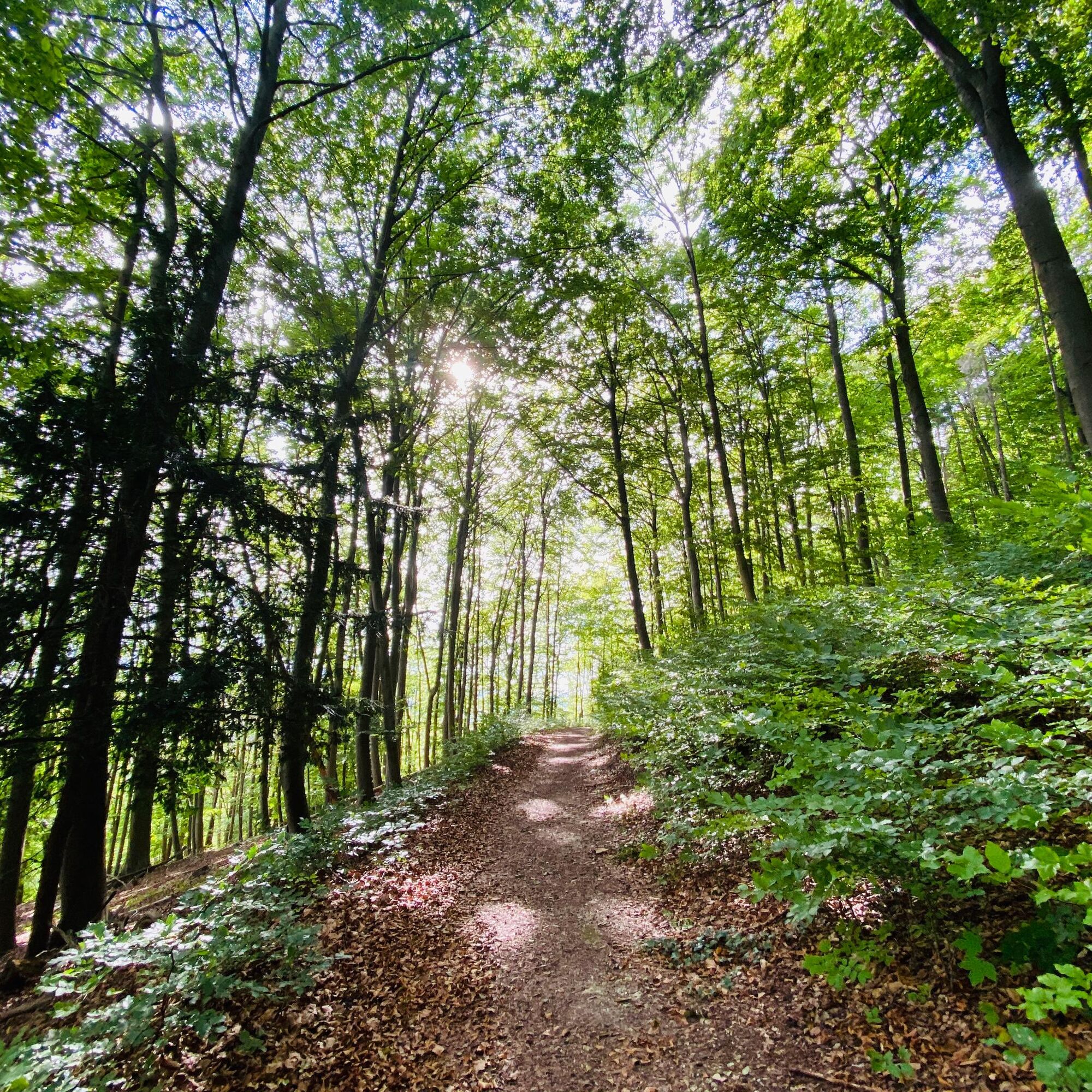
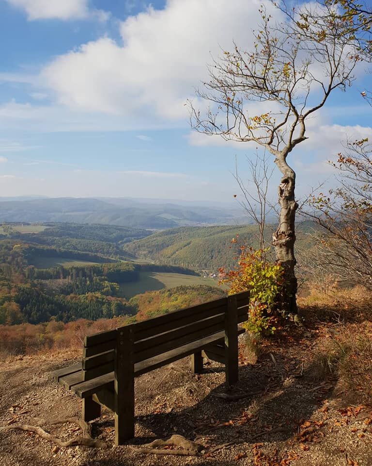
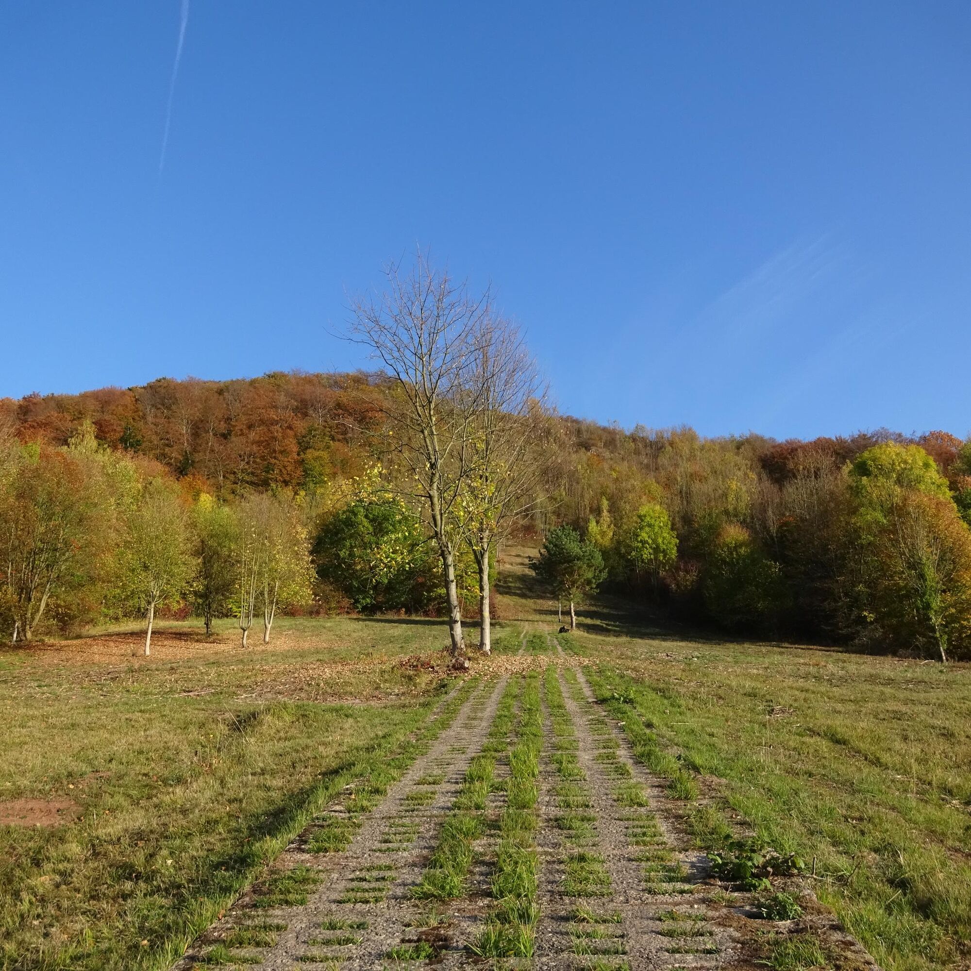
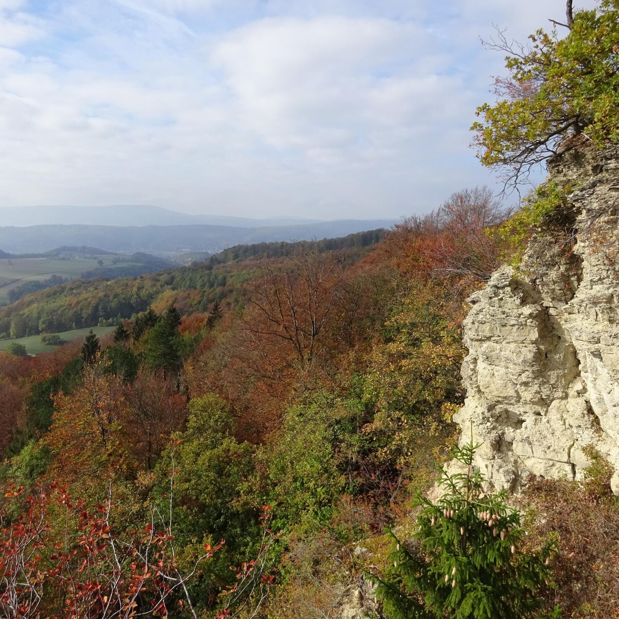
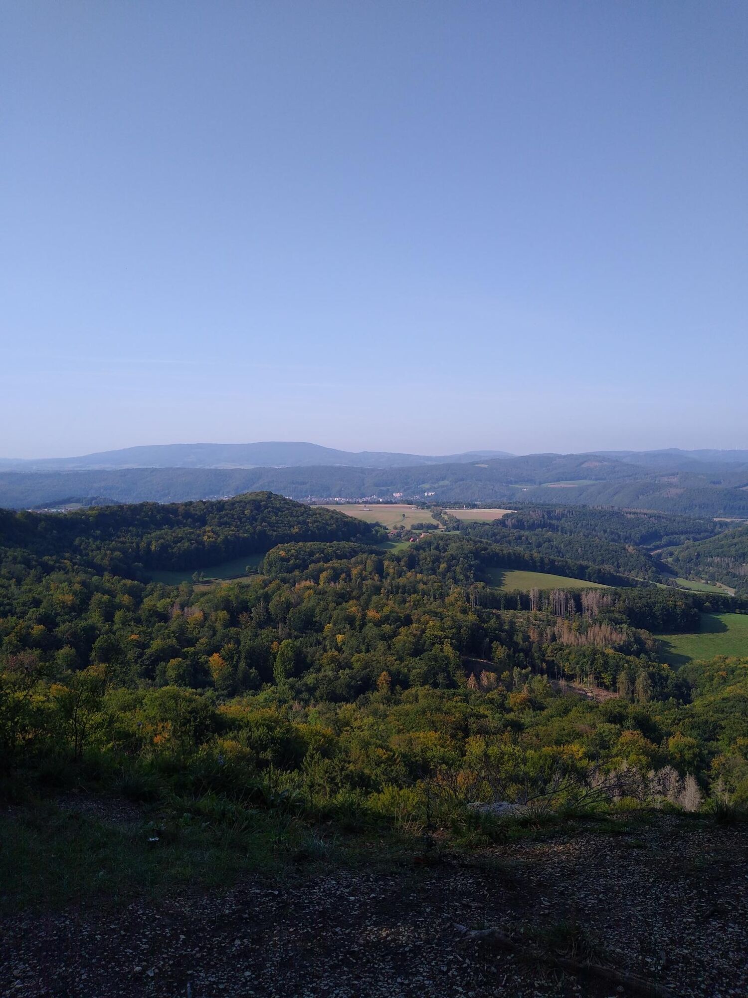
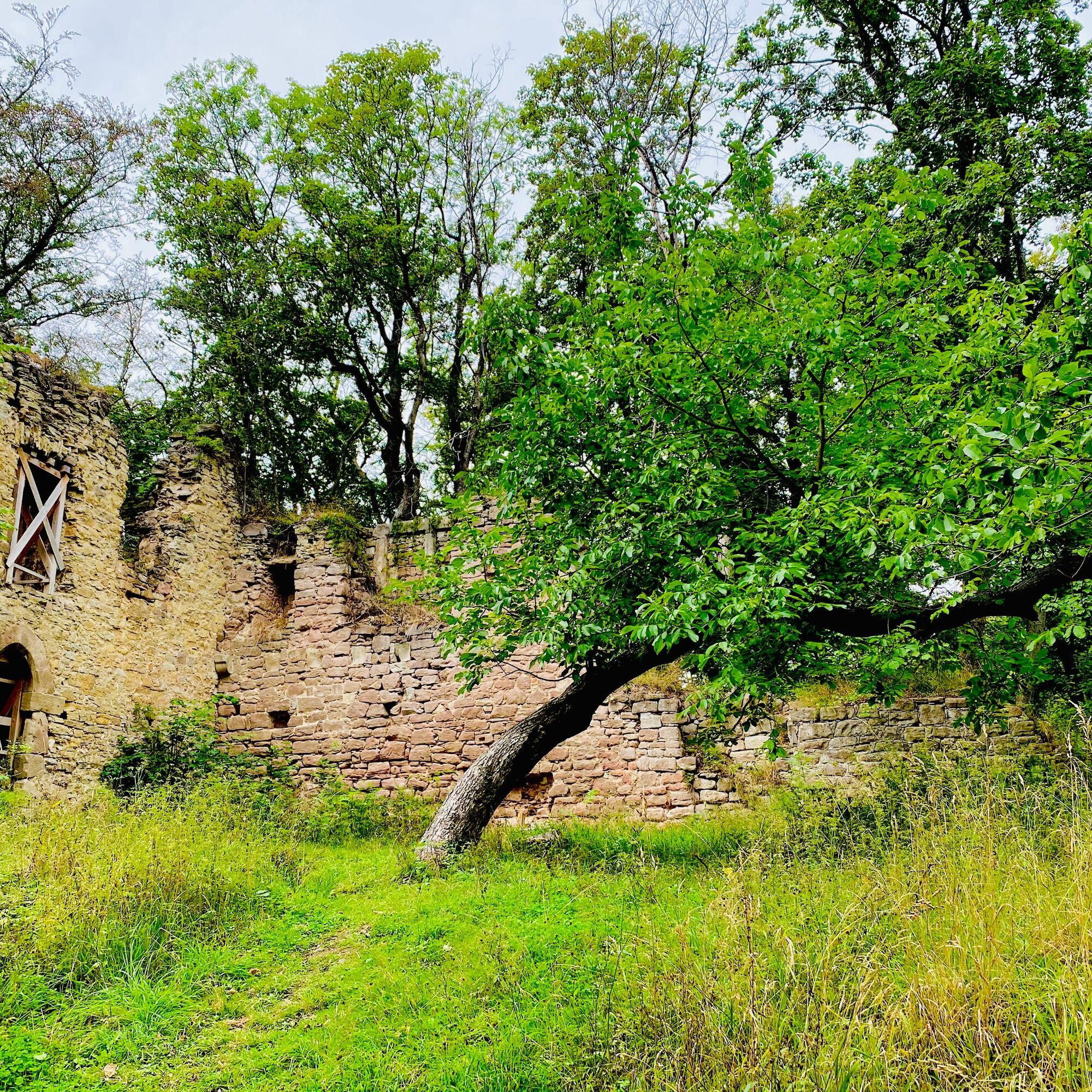
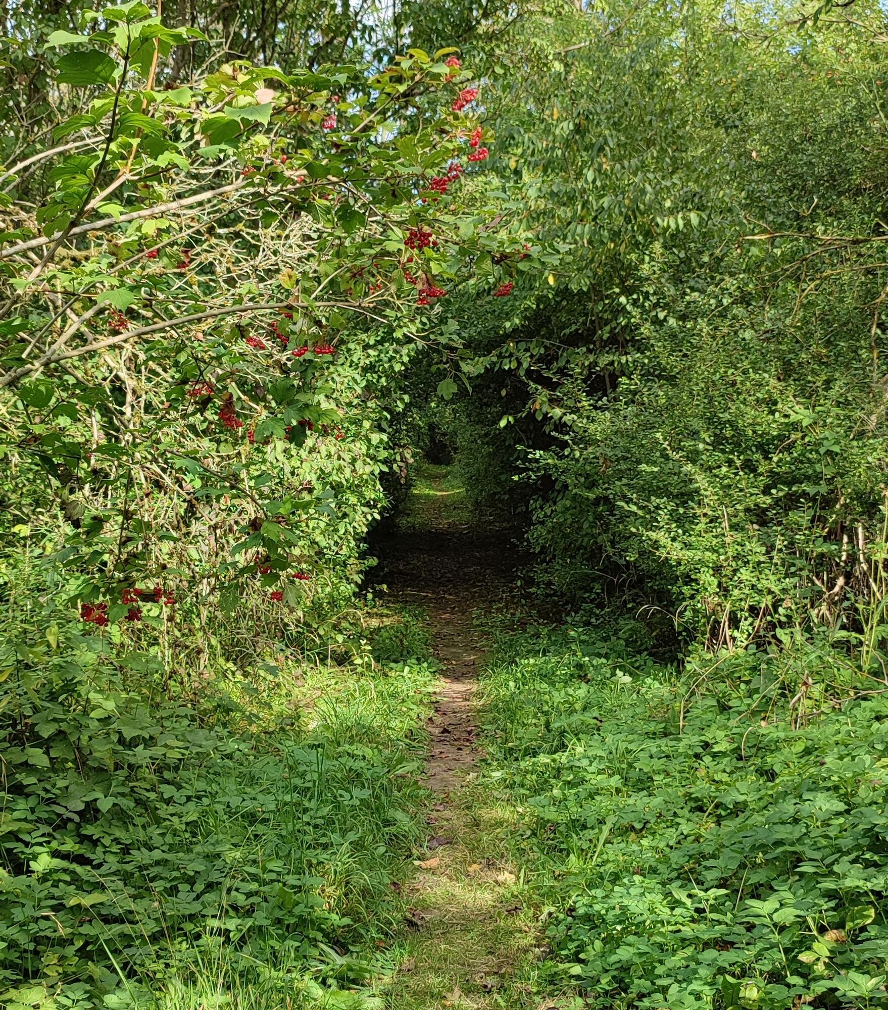
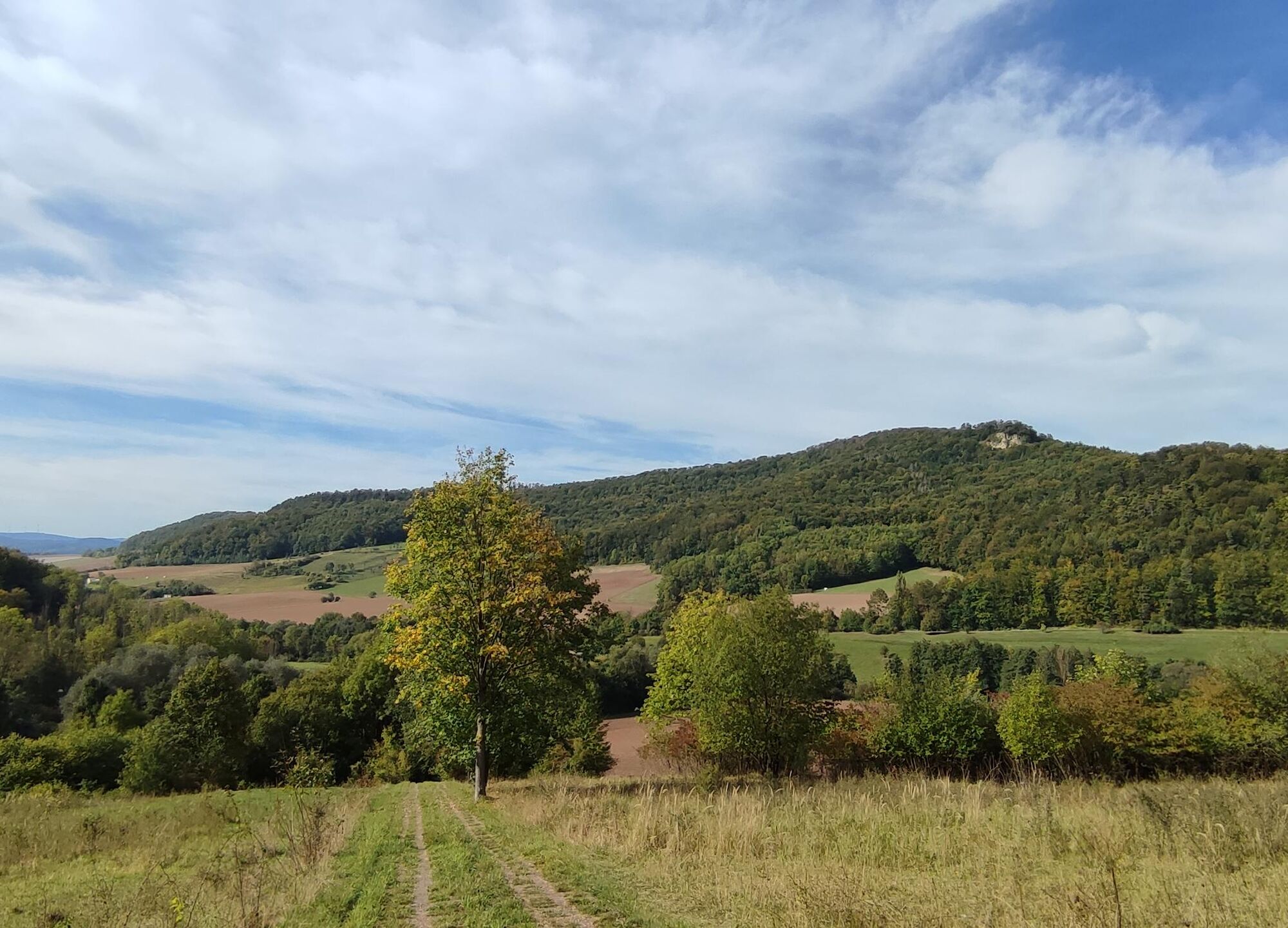
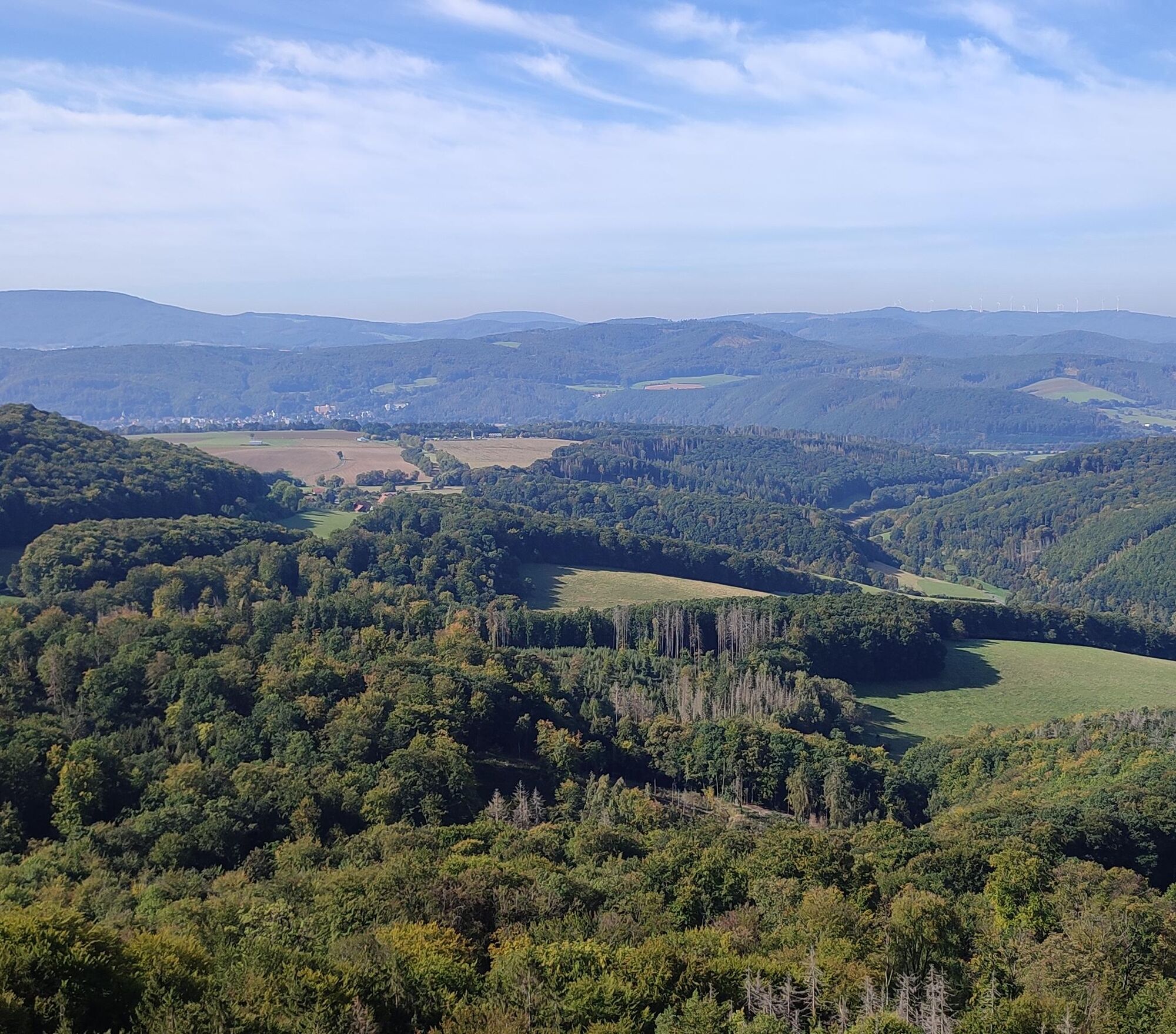
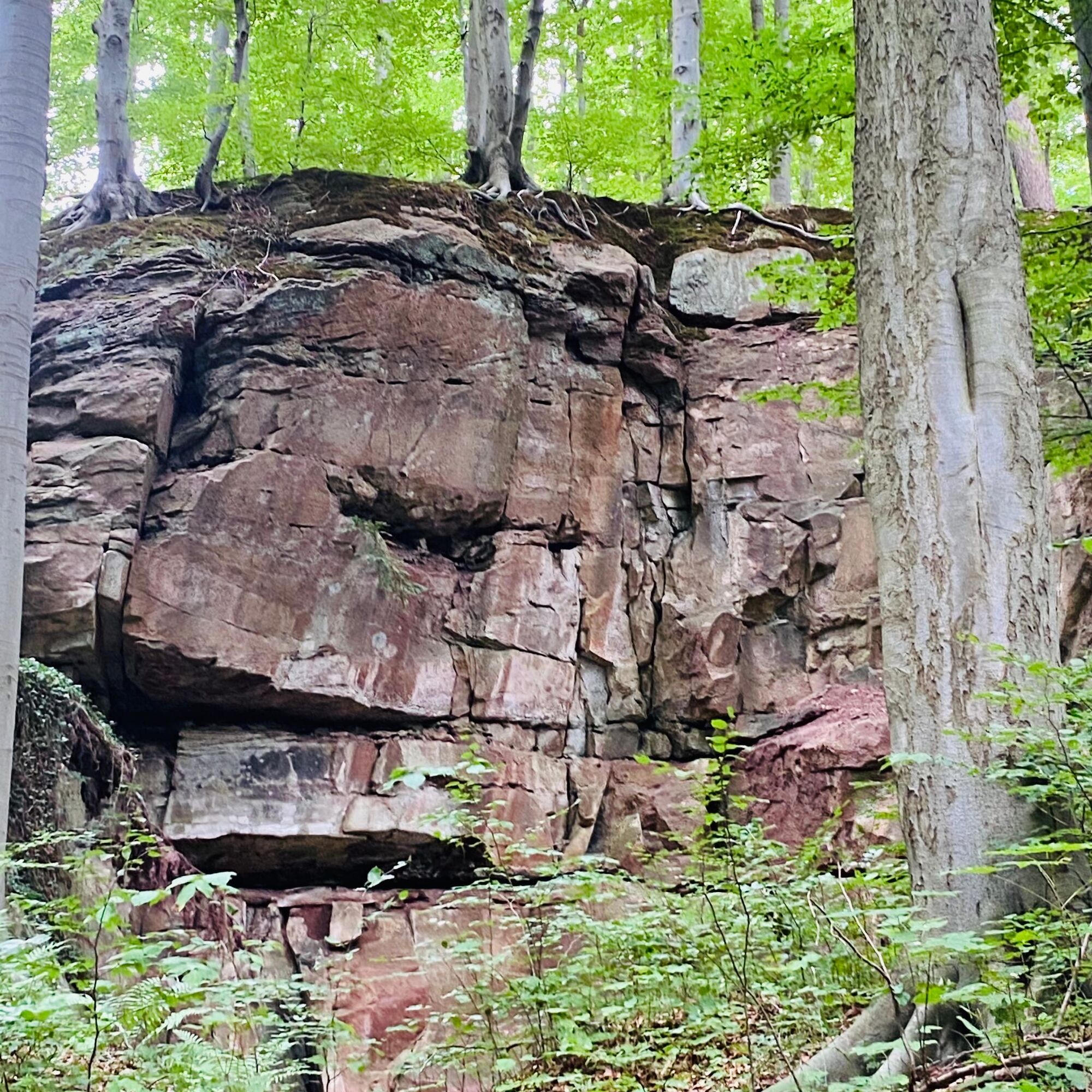
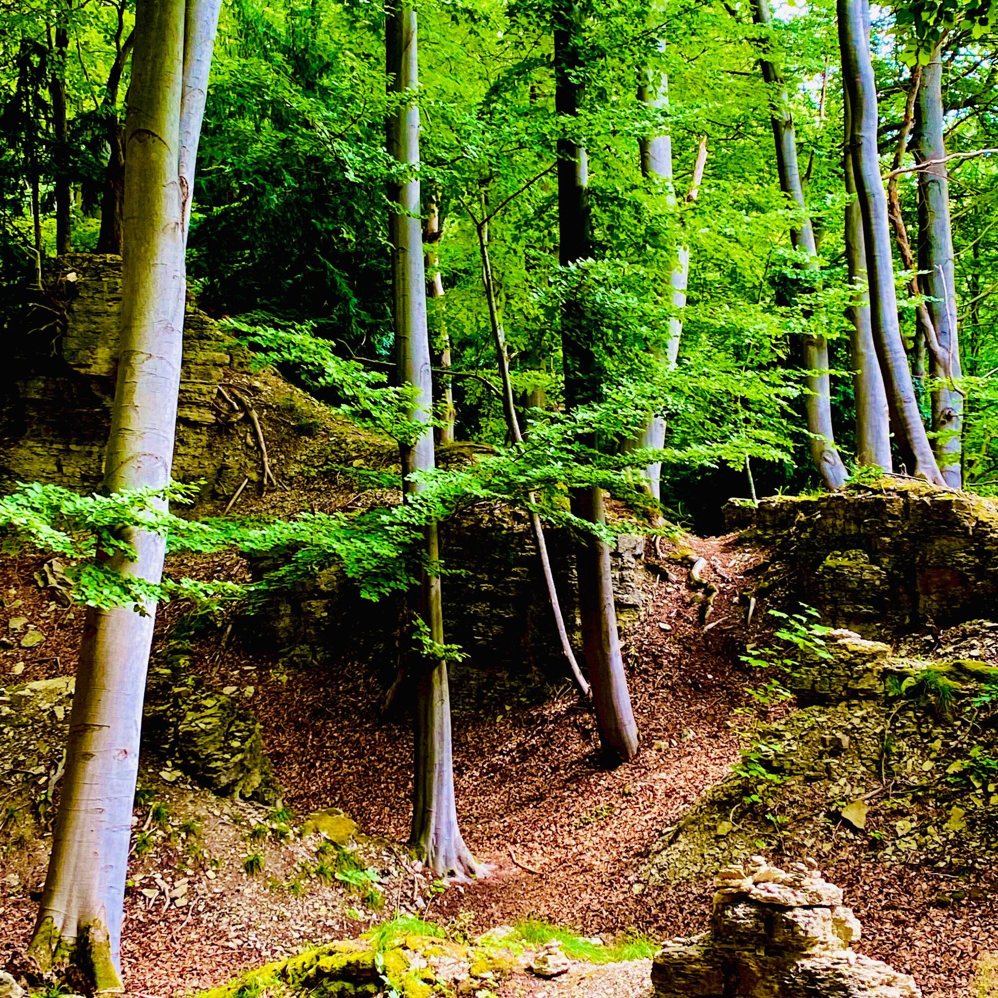
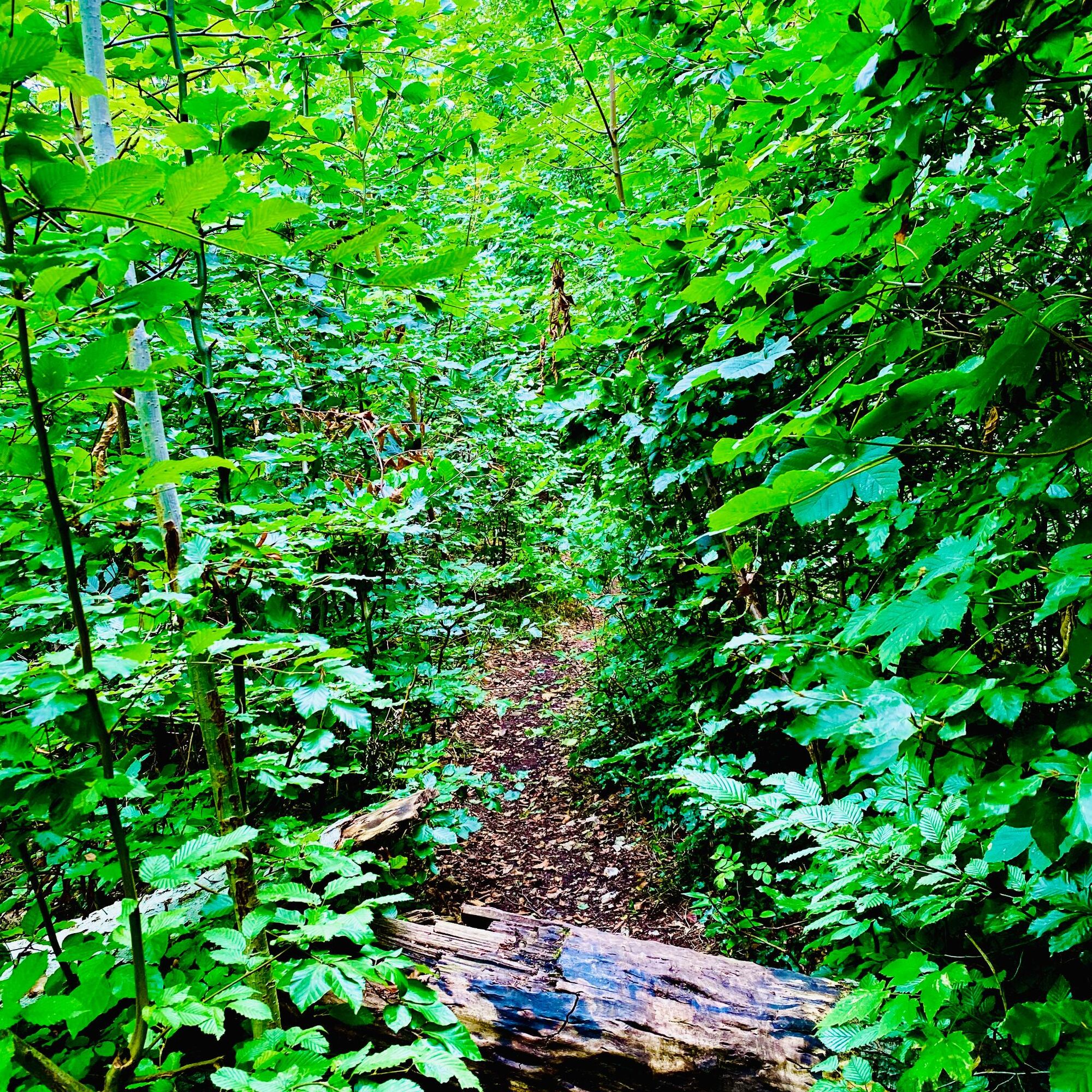
In the 716-hectare FFH area Stein-Rachelsberg-Gobert, beech mixed forest spreads over extensive carpets of plants on a mountain plateau. The FFH area is part of the European Natura 2000 network of protected areas and an important link in the biotope network Green Belt, which runs along the former German-German border. The area is known for its large yew stocks. Christmas rose, Daphne mezereum and lily of the valley delight hikers in spring. In summer, wild herbs bloom, the rare Turk's cap lily, and many special orchids. In autumn, the unique foliage color fascinates. Far away from roads, you can enjoy heavenly peace. The P16 leads on its mostly trail route repeatedly past steep rock edges with intoxicating views. A section of the Werra-Castles-Steig (X5) serves as a shortcut.

Refreshments
Alte Schmiede, Dorfstr. 21, 37318 Asbach, Tel. 036087 90074, www.asbach-uraltschmiede.de
Hof Sickenberg, Farm café, Sickenberg 9, 37318 Asbach-Sickenberg, Tel. 036087 97696, www.hof-sickenberg.de
Accommodation:
Alte Schmiede, Holiday apartments, Dorfstr. 21, 37318 Asbach, Tel. 036087 90074, www.asbach-uraltschmiede.de
Hof Sickenberg, Guesthouse Sickenberg 9, 37318 Asbach-Sickenberg, Tel. 036087 97696, www.hof-sickenberg.de
Other accommodation options: www.naturparkfrauholle.land , www.eichsfeld.de
Áno
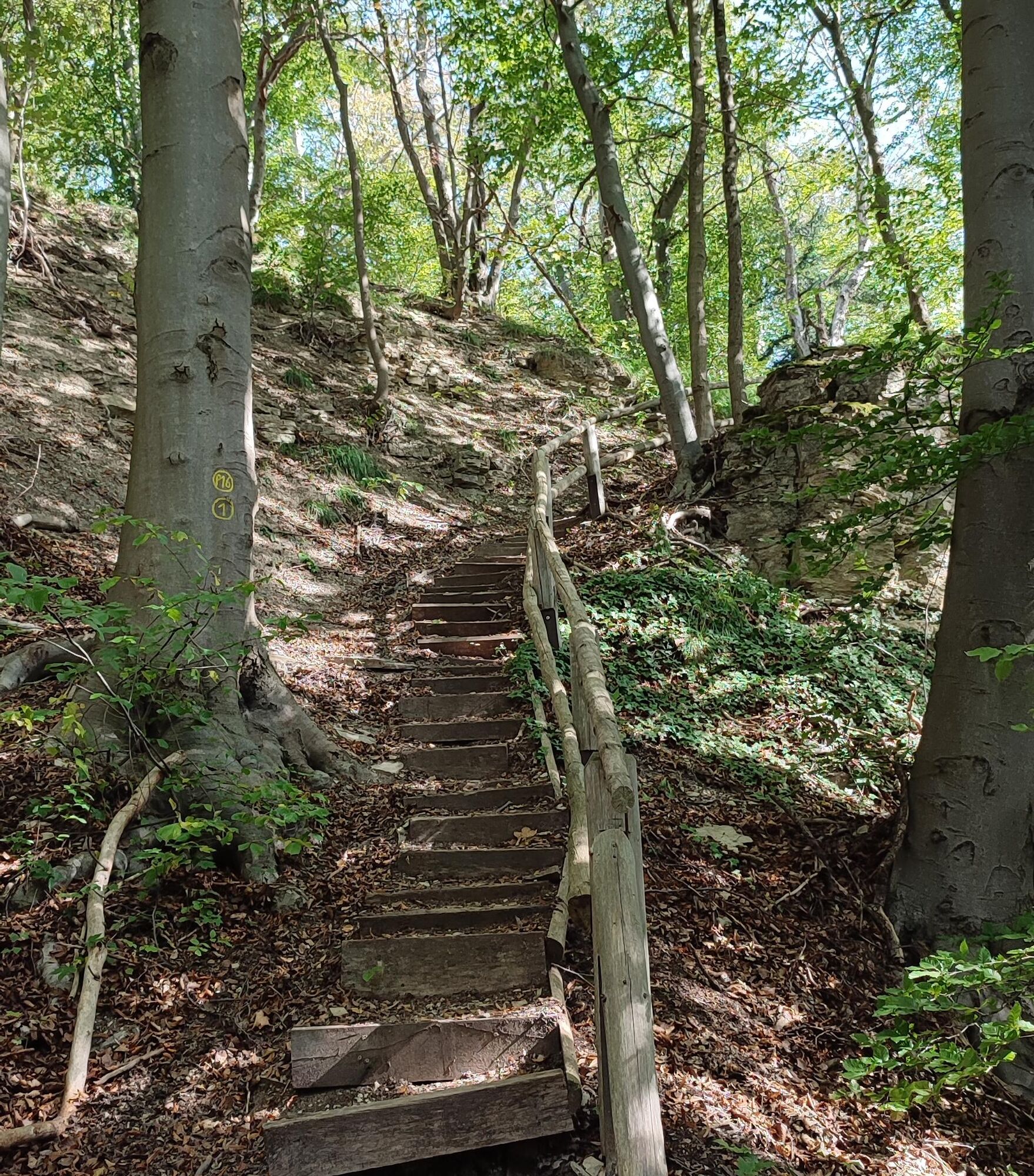
Medium-difficulty route, some steep climbs and a longer staircase, take binoculars with you! Ankle-high hiking boots recommended.
Please note the current information at www.naturparkfrauholle.land
Basically, entering the forest and walking the hiking trails is at your own risk. Seasonal and weather conditions require increased surefootedness on certain sections of the trail. Therefore, wear clothing and hiking boots with appropriate soles adapted to the season and weather.
Via federal road B7 to Bad Sooden-Allendorf
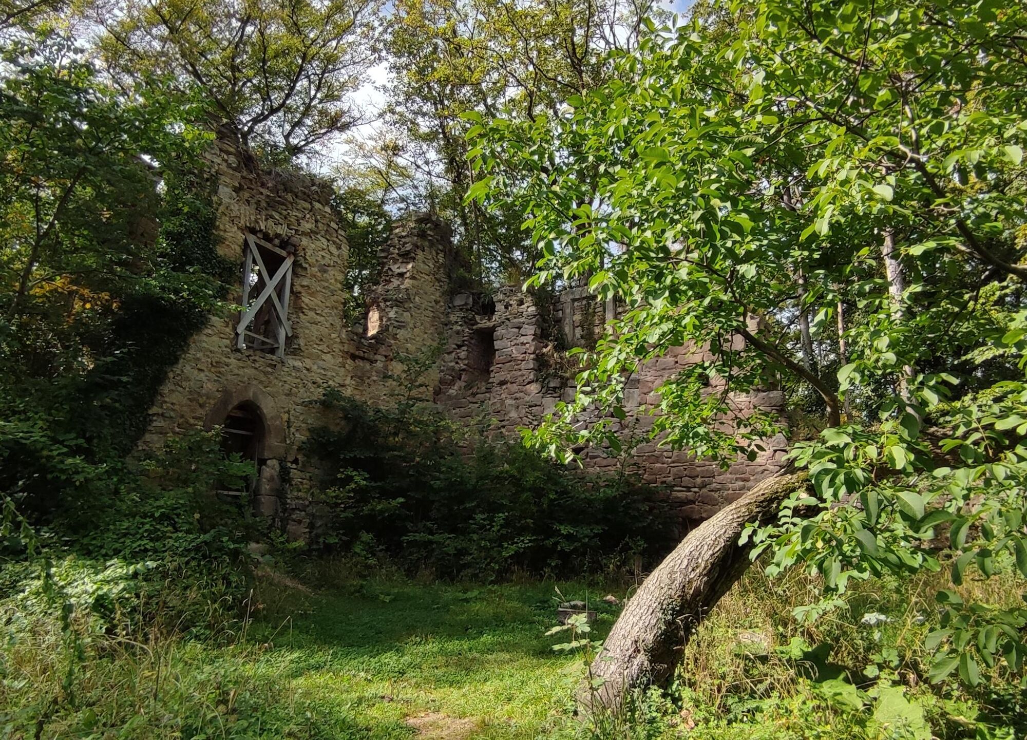
Navigation: 37318 Asbach-Sickenberg, Old quarry on district road 117
Nearest DB train station: Bad Sooden-Allendorf, walking path AS from Allendorf to Sickenberg is signposted, 4 km
Taxi Steinfeld Tel. 05652 4646
A hiking car park with hiking info board is free to use: Navigation: 37318 Asbach-Sickenberg, Old quarry on district road 117 between the two districts Asbach and Sickenberg.
Áno
Year-round, best time April to October.
Information about accommodation options, excursion tips, guided hikes and news from the Geo-Nature Park Frau-Holle-Land: www.naturparkfrauholle.land, Tel. 05657 64499-0 or 0561 1003-1382.
Nearby is the Border Museum Schifflersgrund with original exhibits from the time of the German division. Tel. 036087 98409.
Obľúbené výlety v okolí
-
5,0
Premium route P2 Frankershäuser Karst
ťažkéTuristika 10,2 km -
3,5
Premium route P27 Ludwigstein
strednáTuristika 11,2 km -
Premium route P4 Hessische Schweiz - Walkable Green Belt
ťažkéTuristika 15,7 km -
Premium route P23 Höllental
strednáTuristika 9,89 km -
4,0
5th section Werra-Burgen-Steig Hessen
ťažkéTuristika 17,5 km -
1,0
Premium path P8 Heiligenberg Bühlchen
svetloTuristika 7,58 km -
Premium route P3 Blaue Kuppe - Eschwege
ťažkéTuristika 19,0 km -
Premium route P7 Söder Wald
strednáTuristika 15,0 km -
6th section Werra-Burgen-Steig Hessen
strednáTuristika 11,4 km -
Thuringian long-distance cycle routes - 02 - Werratal Cycle Route - Stage 6: Eschwege → Hann. Münden
strednáDiaľková cyklotrasa 62,3 km
Turistika a stopovanie


Nenechajte si ujsť ponuky a inšpiráciu na ďalšiu dovolenku
Vaša e-mailová adresa bol pridaný do poštového zoznamu.