


On to the Rennsteig - Part 2 - Hinternah to Schleusingerneundorf
The hiking trail with gentle inclines from Hinternah to Schleusingerneundorf. At the end of the path is the hiking hostel at Schleusingerneundorf station. A few meters away is the "Waldschwimmbad" of Schleusingerneundorf,...
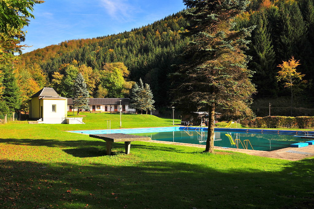
The hiking trail with gentle inclines from Hinternah to Schleusingerneundorf. At the end of the path is the hiking hostel at Schleusingerneundorf station. A few meters away is the "Waldschwimmbad" of Schleusingerneundorf, which is always a nice refreshment in the summer.

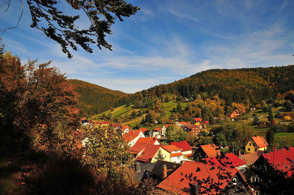

The path leads from the center of Hinternah on the left side of the Nahe river to Schleusingerneundorf.
Sturdy footwear is recommended.
The hiking trail requires sturdy footwear. You will walk partly on narrow paths. Avoid stepping on moss-covered stones and rocks due to slipping hazards and watch out for deadwood, branches, and fallen trees.
Be aware of the typical dangers of the forest! Hiking is at your own risk!
Coming from the A71, take exit 4 (Schleusingen) and continue east on L3004 to Hinternah.
Bus connections from Schleusingen. Use the Deutsche Bahn travel portal for planning your arrival at the following link:
→ Arrival at Hinternah
Return to Hinternah via public transport
Return journey from Schleusingerneundorf to Hinternah
At the start/end point in Hinternah at the Brandtsköppshaus, there is a parking lot with 3 spaces, including for motorhomes (Google NAV point)
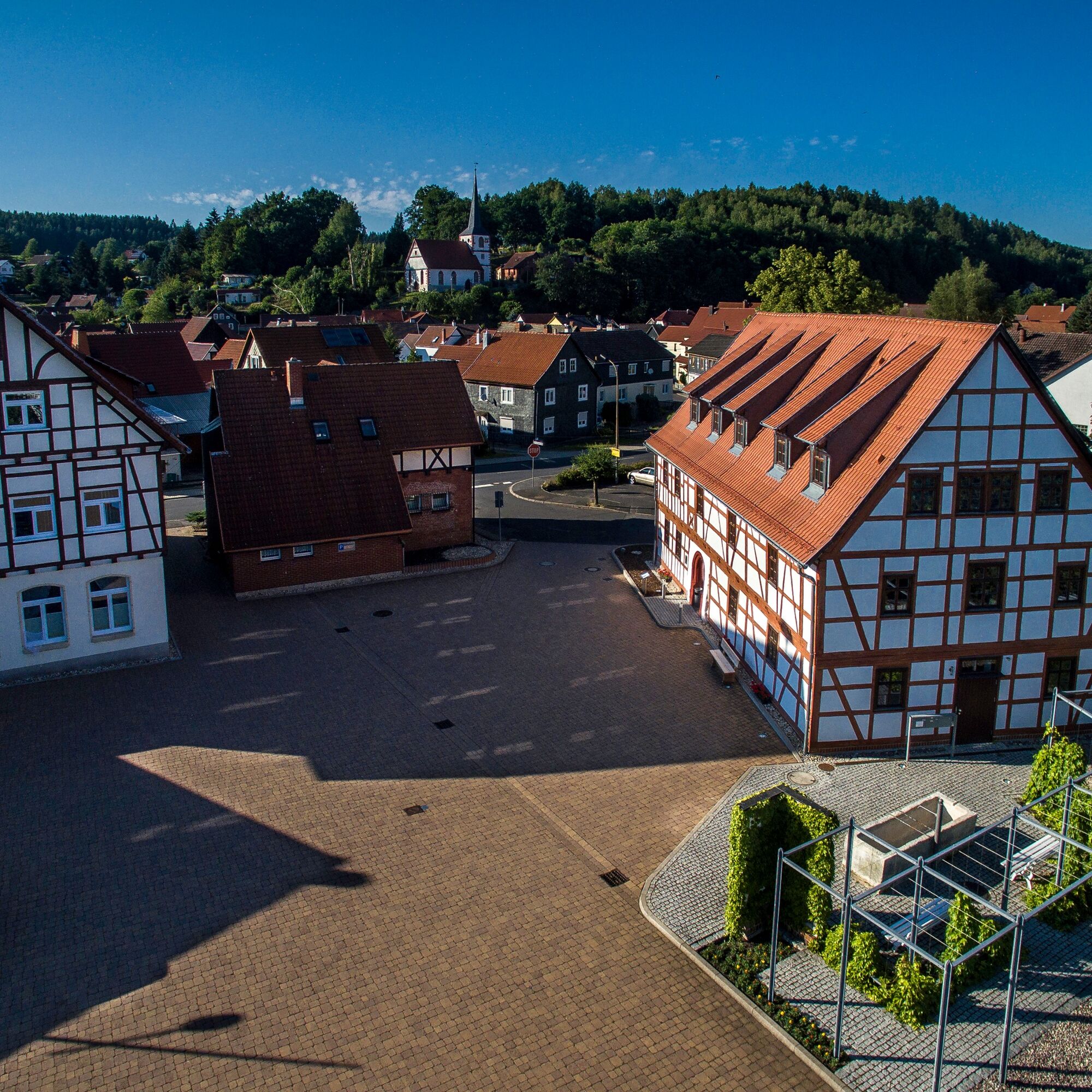
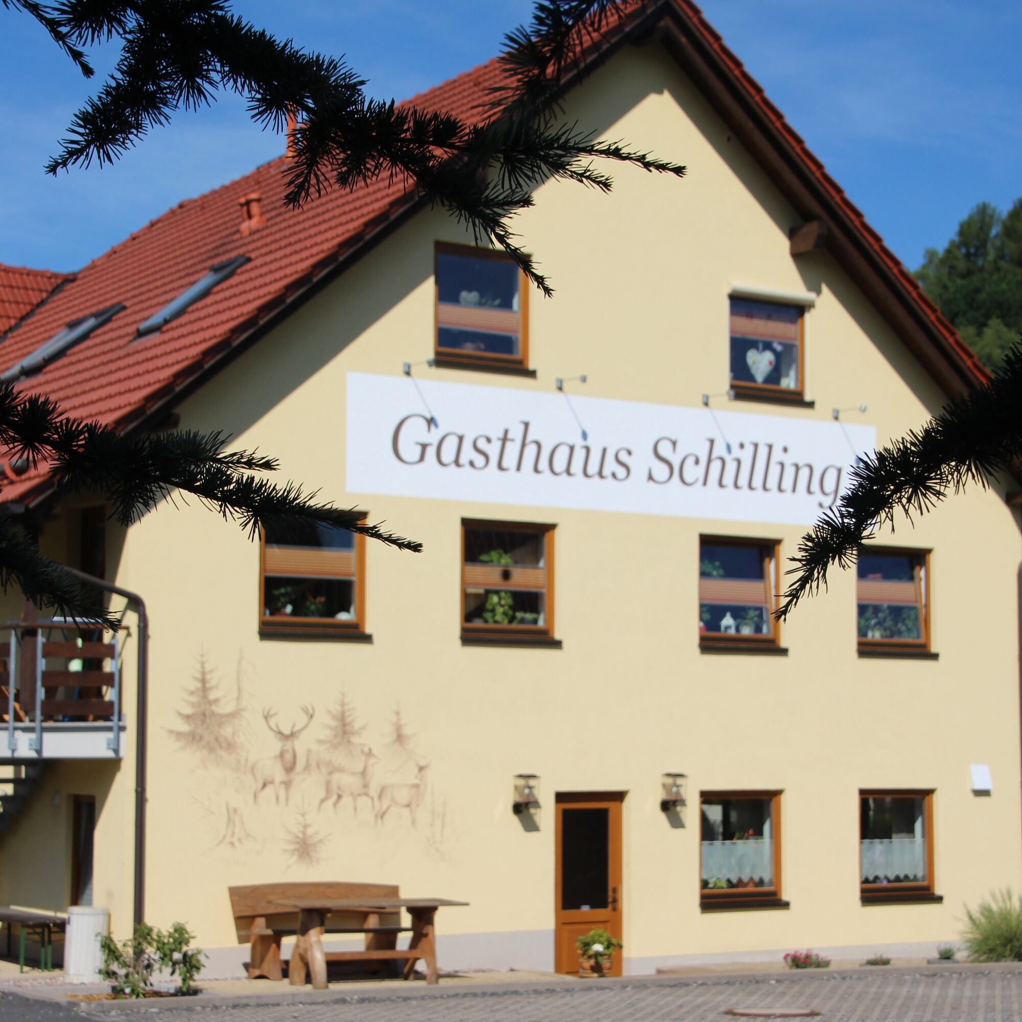
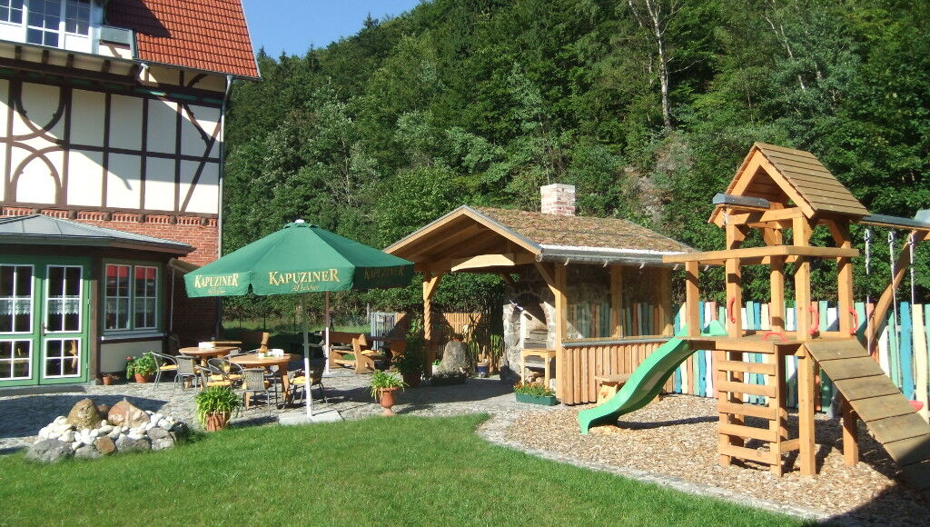
In Hinternah, at the community (starting point), you can see the historic "Brandtsköppshaus." In Schleusingerneundorf, you can stop at the hiking hostel "Alter Bahnhof."
Obľúbené výlety v okolí
-
5,0
Naturlehrpfad Gießübler Schweiz
strednáTuristika 7,99 km -
3,0
Circular hike - "4 ponds hike" Neustadt am Rennsteig - Thuringian Forest
ťažkéTuristika 12,6 km -
3,8
Rundweg Talsperre
strednáCyklistika 14,5 km -
The Rennsteig - long-distance hiking trail from Hörschel to Blankenstein - Thuringian Forest
ťažkédiaľková pešia trasa 169,0 km -
5,0
Circular hiking route - TOP 1 - Werra Source - Masserberg - Thuringian Forest
strednáTuristika 5,94 km -
4,0
Circular hiking trail - TOP 4 - Masserberg - Fehrenbach Switzerland - Thuringian Forest
strednáTuristika 11,5 km -
5,0
Rundtour Staudamm
svetloTuristika 3,91 km -
5,0
Circular hike - To the Schönbrunn Dam - Frauenwald
strednáTuristika 15,1 km -
5,0
Circular hiking trail around the Langebachtal - Thuringian Forest
strednáTuristika 12,2 km -
3,0
Circular route - Panorama route Stützerbach - Terrain course TK 4
strednáTuristika 10,4 km
Turistika a stopovanie


Nenechajte si ujsť ponuky a inšpiráciu na ďalšiu dovolenku
Vaša e-mailová adresa bol pridaný do poštového zoznamu.