


Circular hiking route - Time travel through the Orla valley - Pößneck
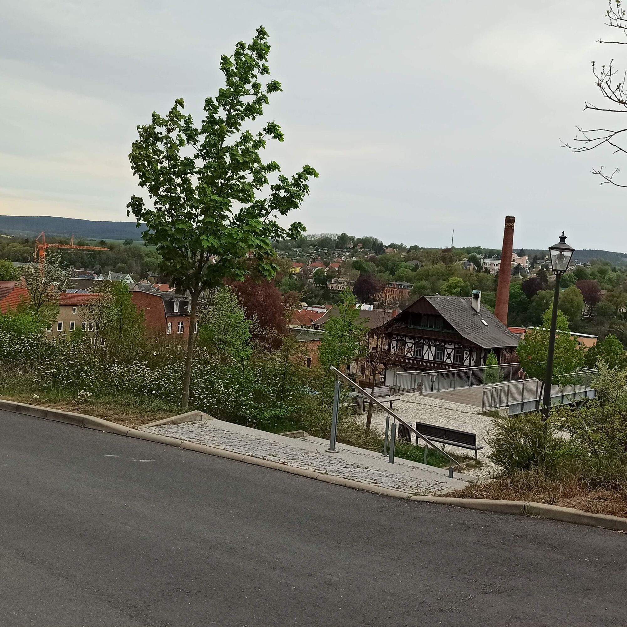
Start your route in the former industrial town of Pößneck, passing architectural witnesses of the past centuries of Thuringian industrial culture. Let yourself be taken back to a time when cloth makers,...
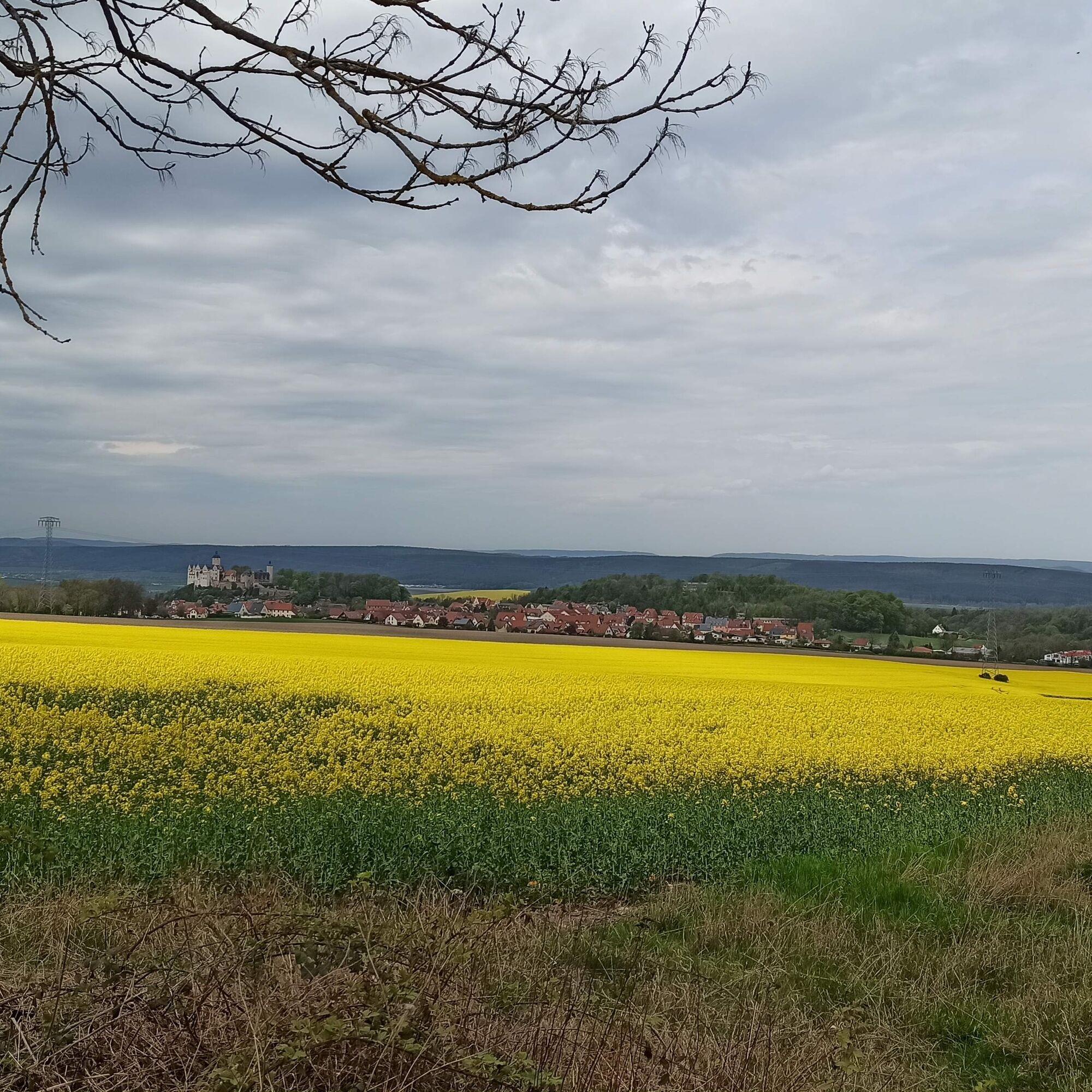
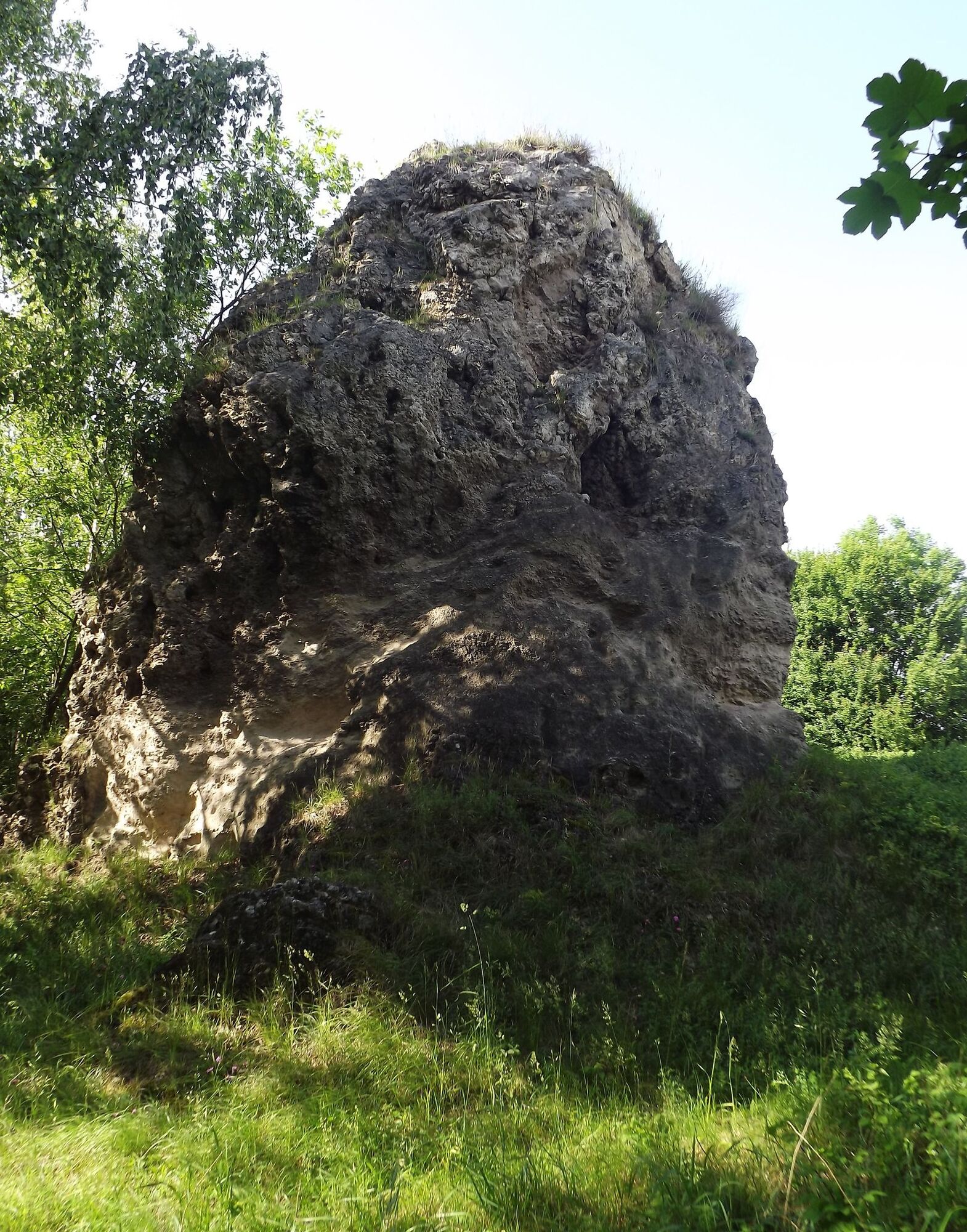
Start your route in the former industrial town of Pößneck, passing architectural witnesses of the past centuries of Thuringian industrial culture. Let yourself be taken back to a time when cloth makers, porcelain painters, and book printers pursued their daily work in Pößneck’s town center in narrow alleys and small workshops, but also in gigantic production facilities. Passing factory owners’ villas, you reach a picturesque environment of untouched nature towards the west. Discover rare orchid species or watch the red kite on its circular flight over the Zechstein reefs. Unique throughout Europe in their state of preservation, the reefs created more than 250 million years ago are a habitat for many animals and plants. For this reason, the Zechstein reefs of the Orla basin belong to designated protected areas and to the National Geopark Slate Land.
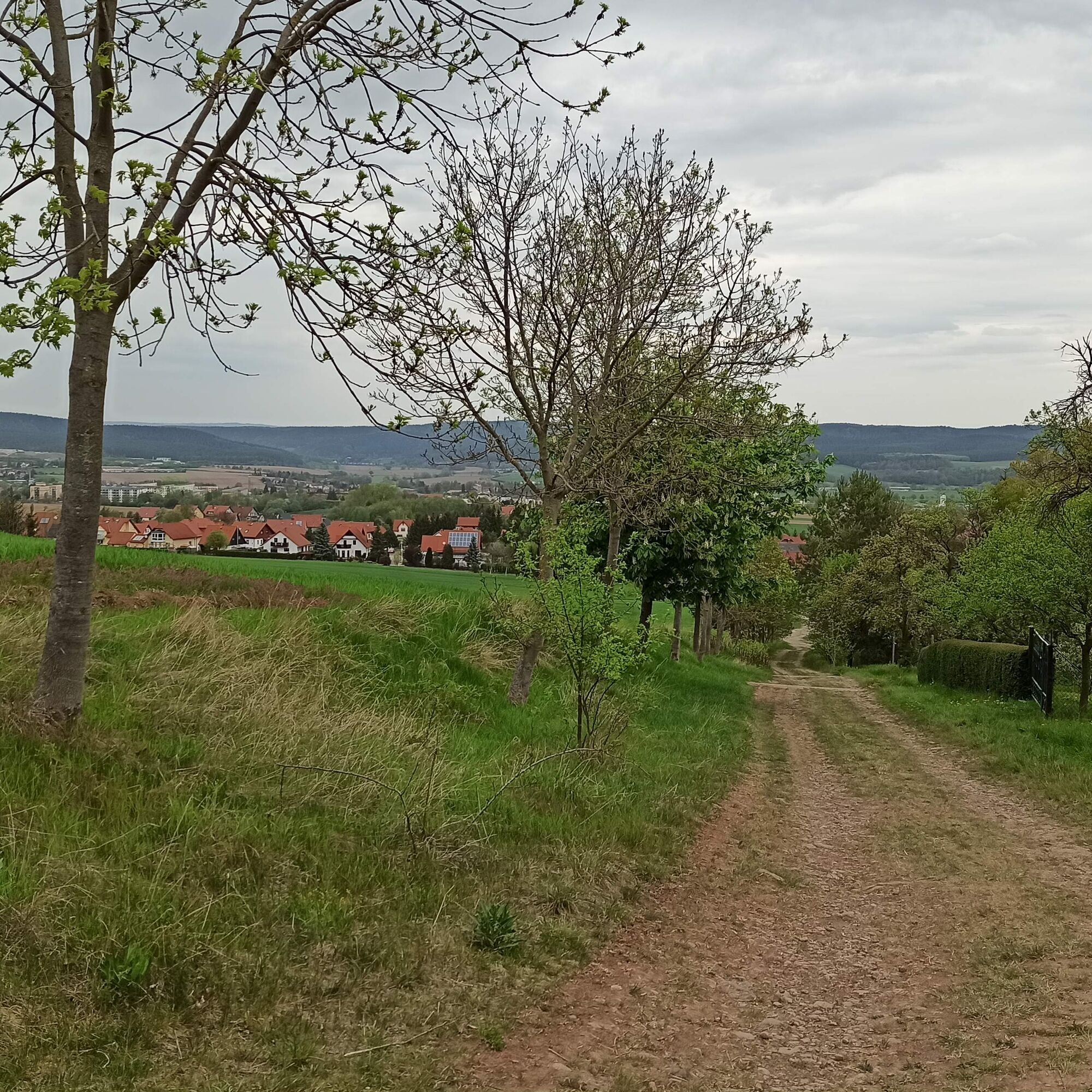
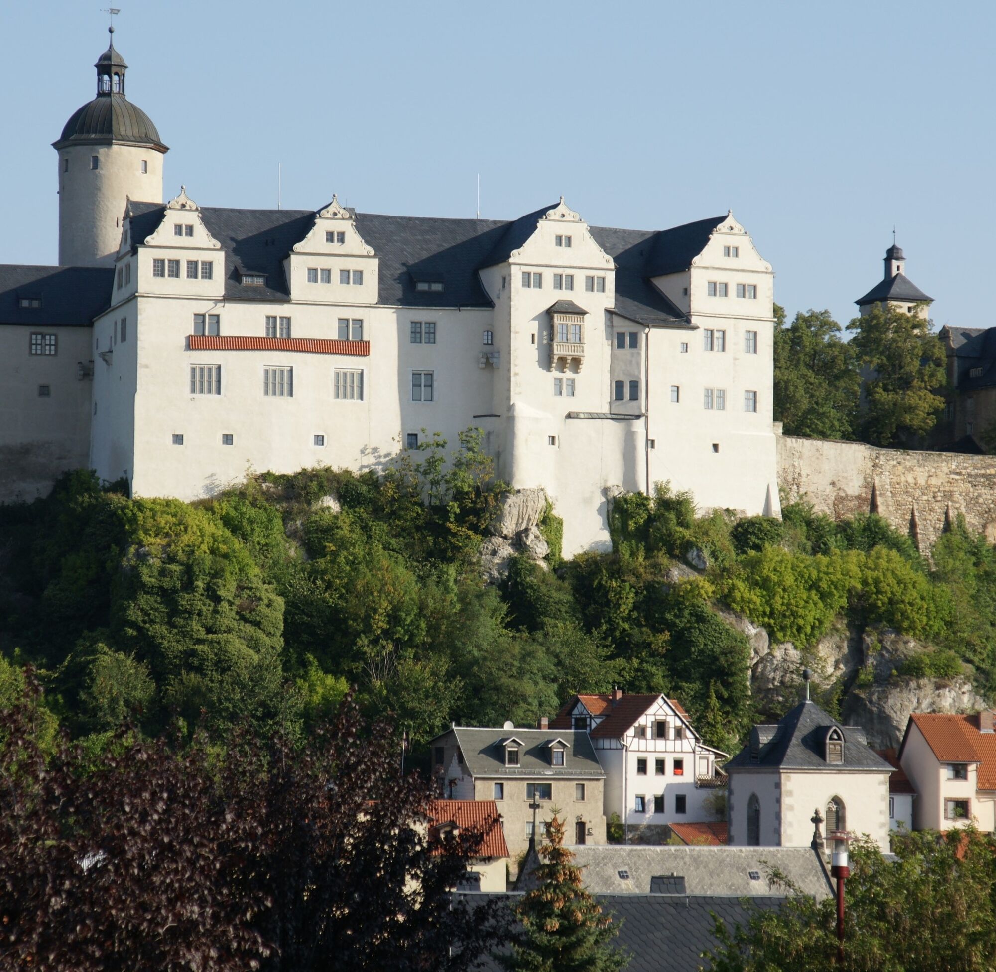
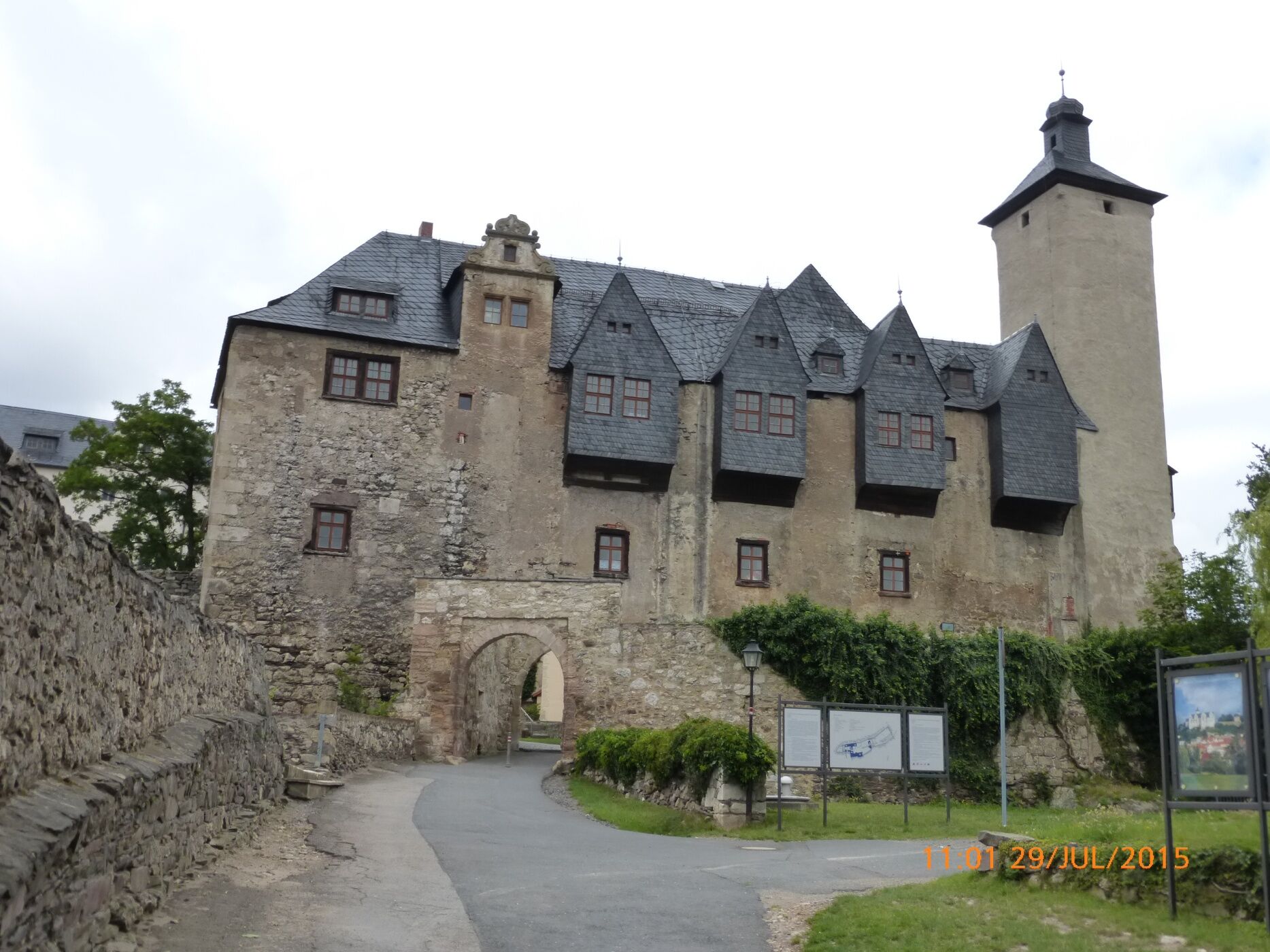
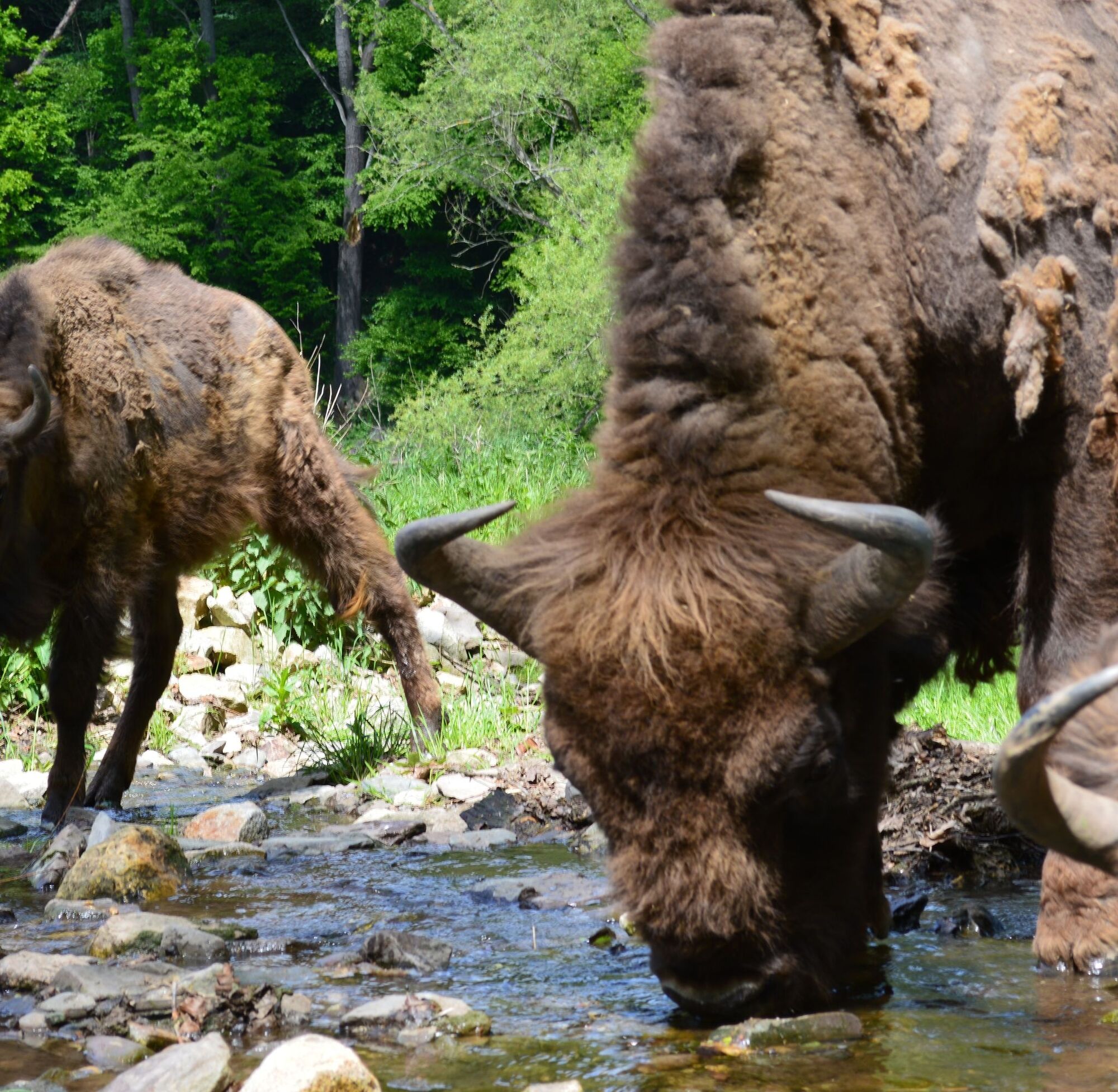
Past the Baroque castle Brandenstein, you dive into the last ice age of the Orla basin at the bison enclosure. The graceful animals take you on a journey to a time when ice age hunters and cave hyenas met in the Orla valley. Built 1000 years ago on a Zechstein reef, Ranis castle still towers visible far and wide. The old castle walls tell stories from the Middle Ages, Renaissance, Baroque, and historicism. Go on an underwater expedition in the castle museum and dive into the lagoon of the Zechstein sea into unknown animal and plant worlds of long past times. Let yourself be taken into the world of our ancestors with a "glimpse into the ice age." Visit the legendary Ilsen cave located beneath Ranis castle and discover fossil remains of the Zechstein sea on rock walls and cave crevices. The path leads southwards further into the Thuringian Slate Mountains. Past the Limberg volcano, active 300 million years ago, breathe the Thuringian forest air and relax far away from everyday worries. Amid spruce forests, enjoy once more the romantic view over the Orla valley before you return through Bodelwitz to the small-town idyll to relax.

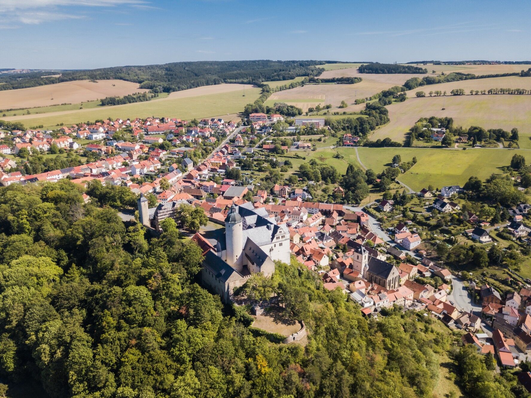
Pößneck city information - White Tower - upper station - upper cemetery - Zechstein reefs - Brandenstein with Baroque castle - Ranis with castle - Seebach - Bodelwitz - Pößneck - old dairy - Pößneck city information
Áno
Sturdy footwear
Rainwear
Sunscreen
First aid kit
GPS navigation device/smartphone or map material
Be aware of the typical dangers of the forest! Walking is at your own risk! Avoid walking on moss-covered stones and rocks due to the risk of slipping and watch out for dead wood, branches, and fallen trees.
By car, take the A9, exit Triptis. Follow the B281 towards Saalfeld/Pößneck. In Pößneck, take the third exit at the roundabout towards Ranis/Wernburg. After about 500 m, turn right before the railway underpass. You are on the premises of the upper station where you can park free of charge in the designated areas. You can start the circular route directly from here.
The railway line Leipzig - Saalfeld runs through Pößneck and stops at the "upper station". Since the circular route passes directly by the "upper station", you can start the route right from here.
The train from Jena stops at the "lower station". From the "lower station" (here bus stop "Teichrasen") the bus line B also goes to the upper station.
Please use the Deutsche Bahn travel inquiry to plan your journey:
→ Travel to Pößneck / upper station
Please also add your desired travel period and your starting point.
Park for free near the upper station in the designated areas (Google NAV point)
Take an additional circular route from Brandenstein over Pinsenberg and Buchenberg and explore part of the unique Zechstein reefs in Europe and their rare flora and fauna.
Obľúbené výlety v okolí
-
4,9
Circular hiking trail - H5 "The Water Route" - Thuringian Forest
strednáTuristika 6,58 km -
Circular route - Otter Bay and Devil's Pulpit - Ziegenrück
strednáTuristika 16,8 km -
5,0
Circular hiking trail for children - "1000-Ponds-Circular Route"
strednáTuristika 8,25 km -
4,7
Circular hiking route - H3 "The Bird's Eye View" - Thuringian Forest
strednáTuristika 8,78 km -
4,0
Zur Jagdanlage Rieseneck bei Hummelshain
svetloTuristika 5,21 km -
4,0
Circular route - "Wichtelweg" - Wilhelmsdorf
svetloTematická trasa 2 km -
5,0
Hohenwarte Reservoir Way - Section 2 - Camping Wilhelmsdorf Portenschmiede → Ziegenrück
ťažkéTuristika 18,2 km -
4,0
Von Ziegenrück zur Fernsicht
strednáTuristika 5,50 km -
5,0
Von Dreba zum Plothener Hausteich
svetloTuristika 7,68 km -
5,0
Zum Bismarckturm und zu den Fuchsteichen
svetloTuristika 6,67 km

Turistika a stopovanie


Nenechajte si ujsť ponuky a inšpiráciu na ďalšiu dovolenku
Vaša e-mailová adresa bol pridaný do poštového zoznamu.