







Terrain spa path Masserberg - TKW 7 - Werra spring, Dreiherrnstein - Thuringian Forest
The TKW 7 starts at the starting point, the Rennsteig parking lot.
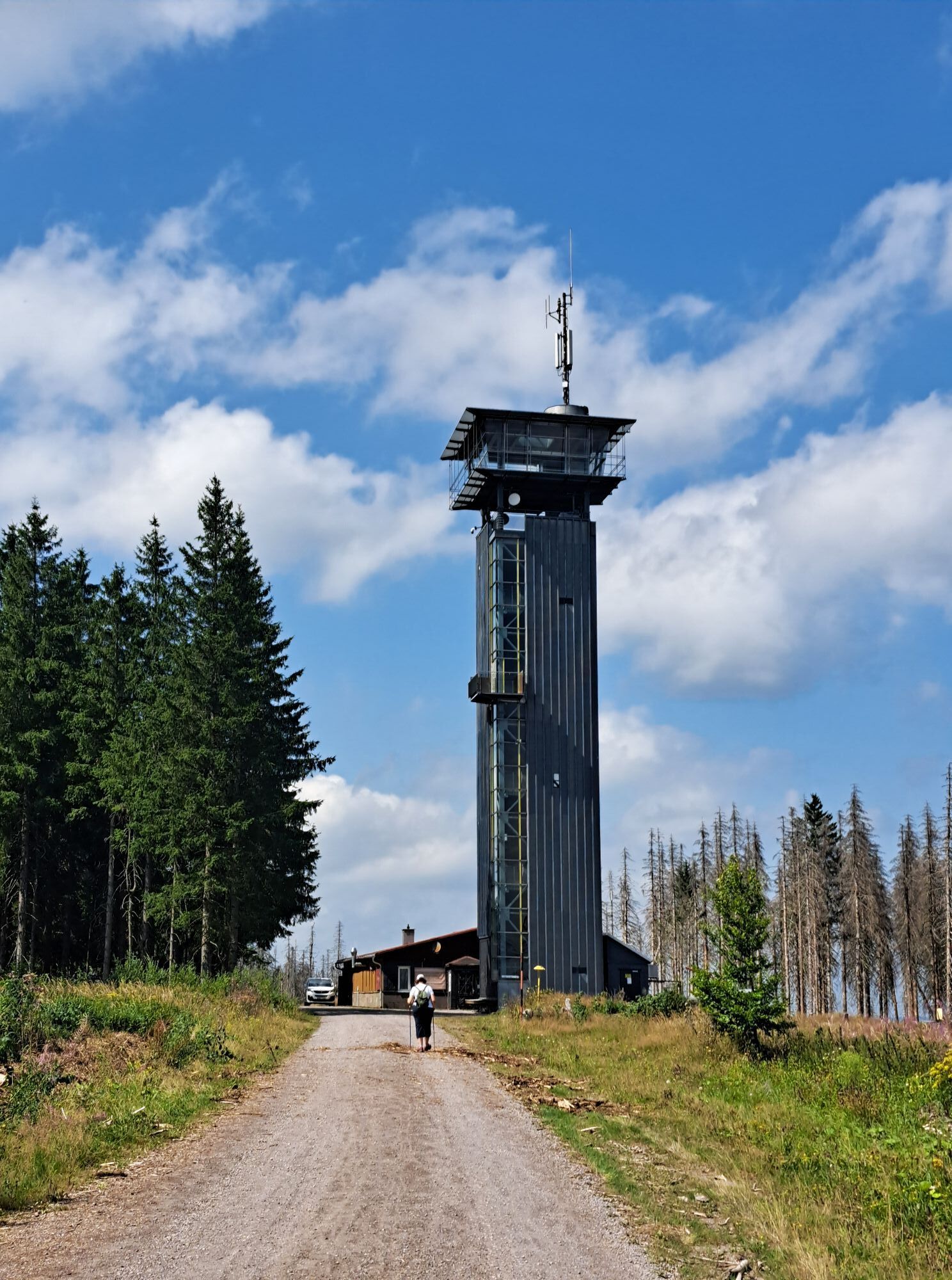
We hike along the Rennsteig, past Hotel Oberland, straight up the hill to the Rennsteigwarte on Eselsberg at 830 m above sea level with...
The TKW 7 starts at the starting point, the Rennsteig parking lot.
We hike along the Rennsteig, past Hotel Oberland, straight up the hill to the Rennsteigwarte on Eselsberg at 830 m above sea level with the observation tower. In good and clear weather, the climb to the tower is definitely worth it (for a small fee, 1€). You can let your gaze wander far across the land. On the viewing platform of the tower, you are right in the middle of the forest and look over the dark green treetops into the beautiful Franconian region and the Thuringian Forest.
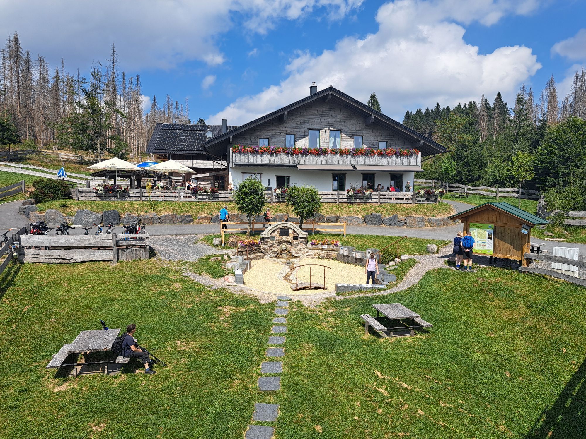
After this magnificent view, continue straight towards the Werra spring and the Werra spring hut. Here, the tired hiker can refresh with traditional Thuringian dishes and a cool beer or Radler in the beer garden or directly at the Werra spring before a wide forest path leads to the Eisfelder rest stop.
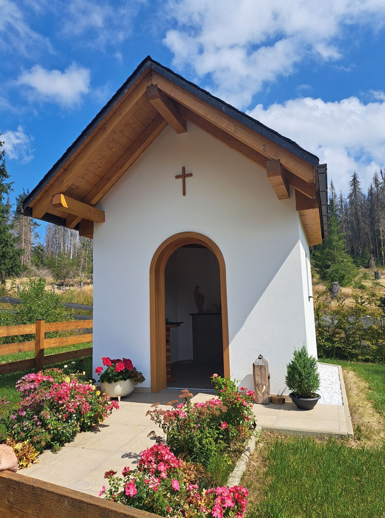
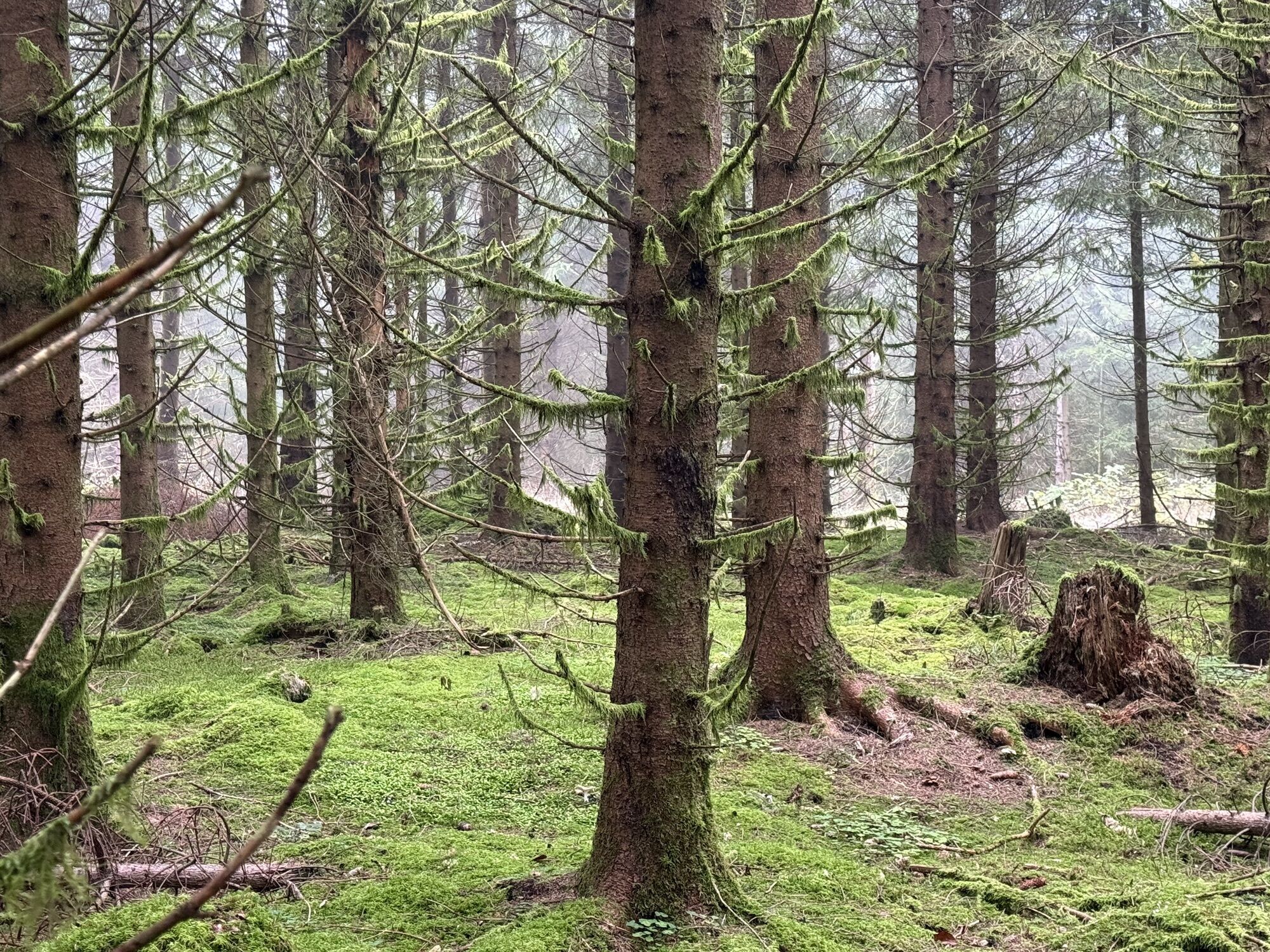
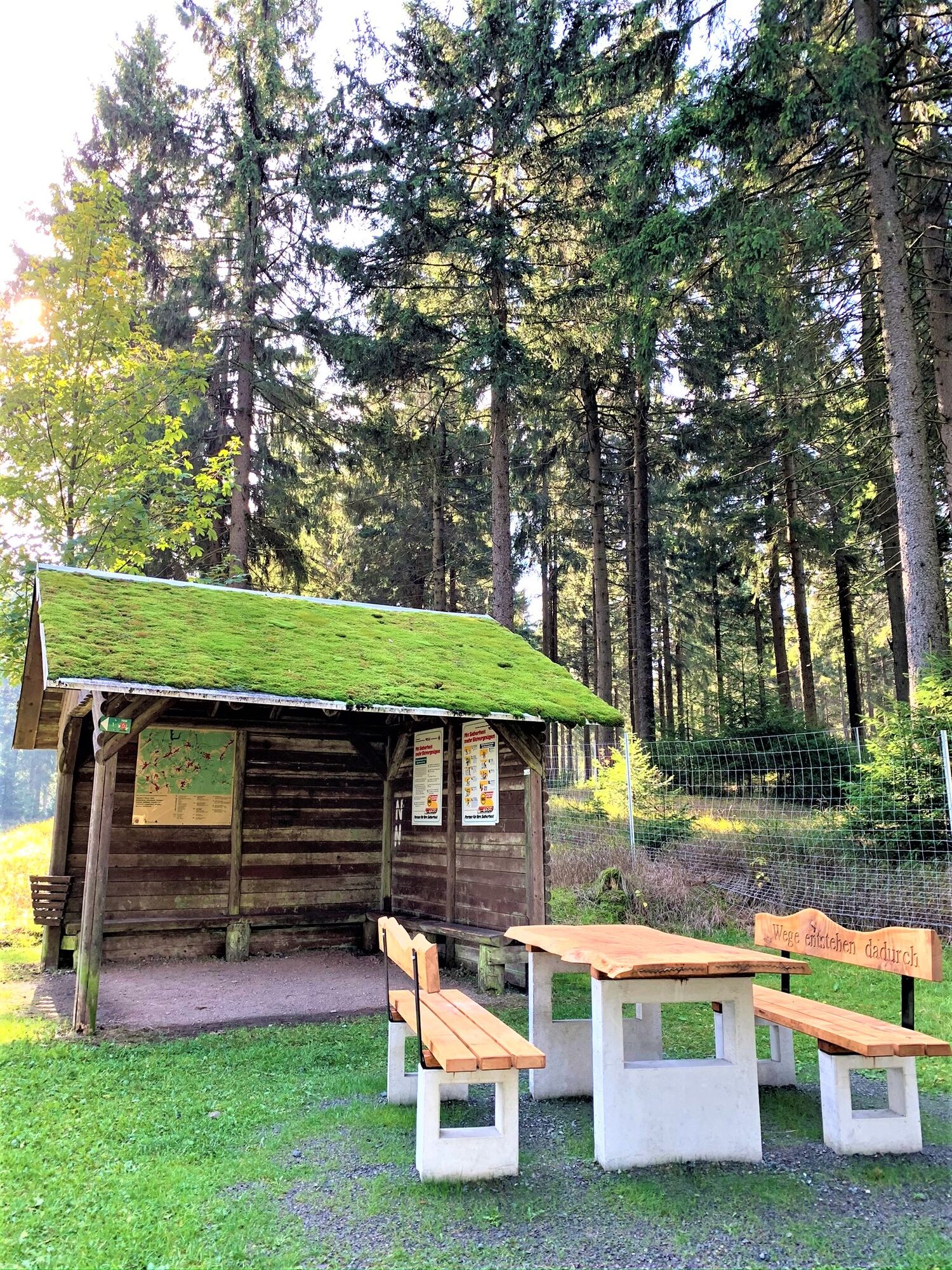
Now more than half of the route is completed, and we return directly on the Rennsteig hiking trail (marked with an R) through the forest. Passing the Heide hut with the Dreiherrnstein, keep to the right on the wide forest path, pass the tree species information board and a small shelter, and return on the Planieweg to Masserberg.

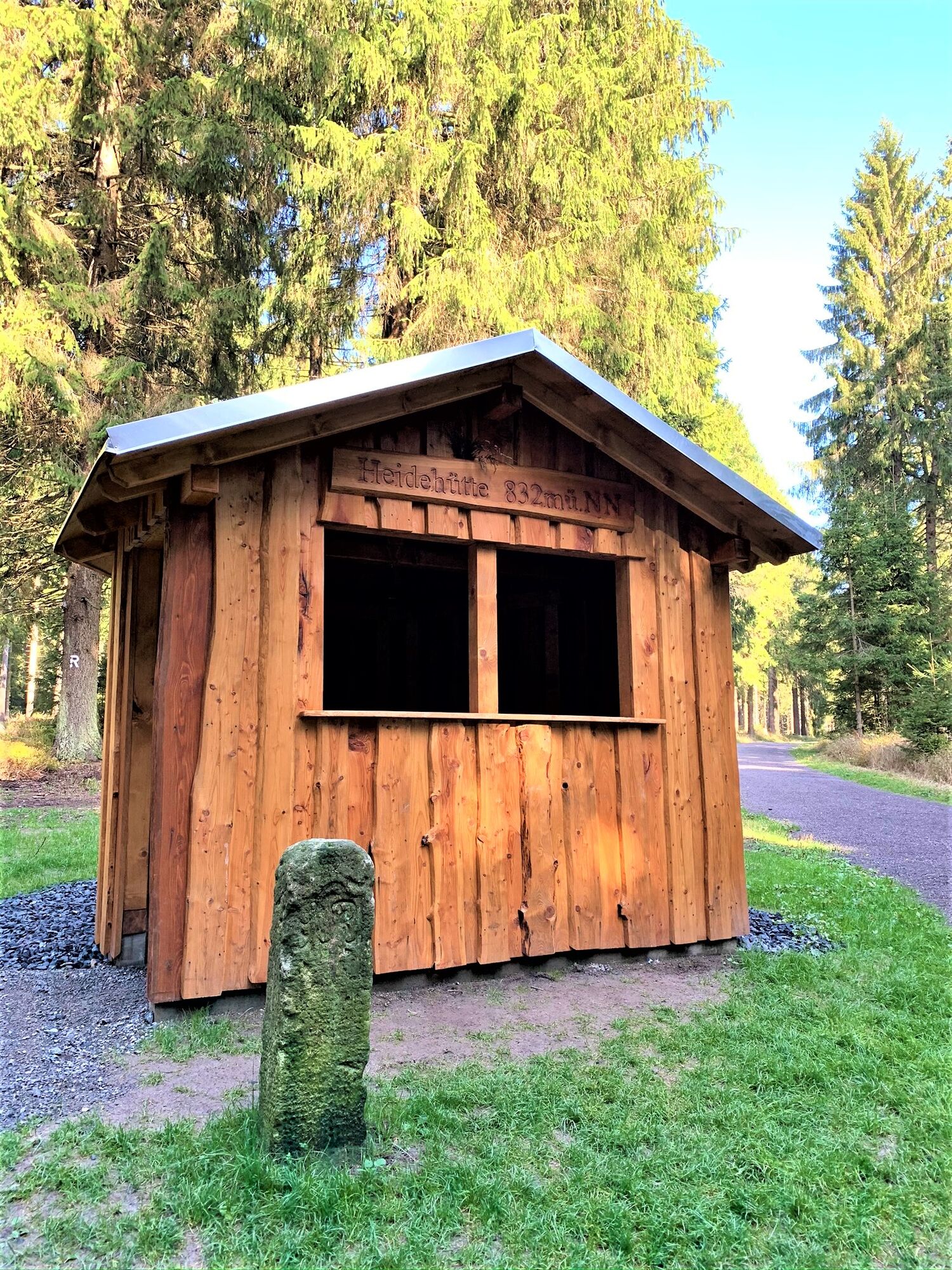
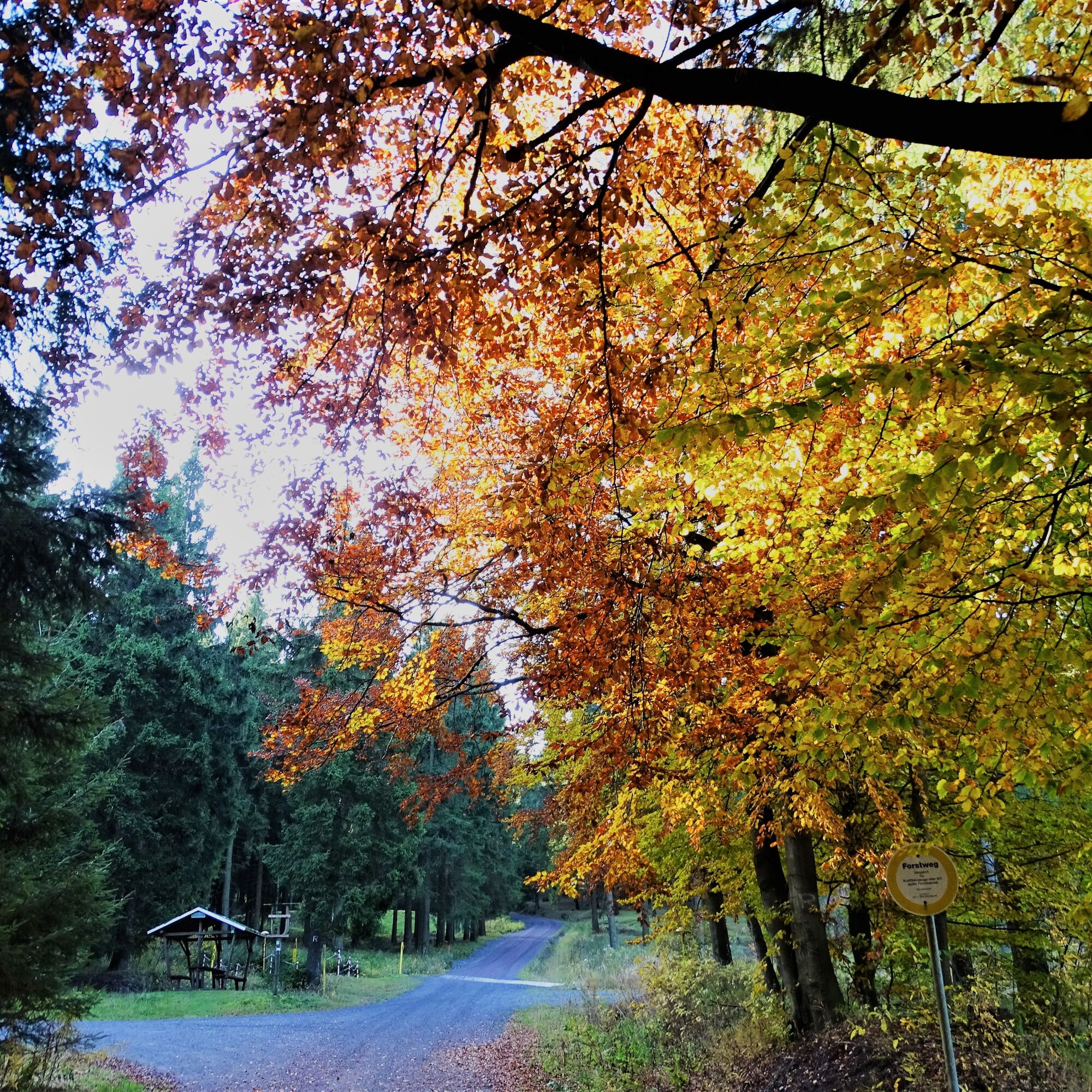
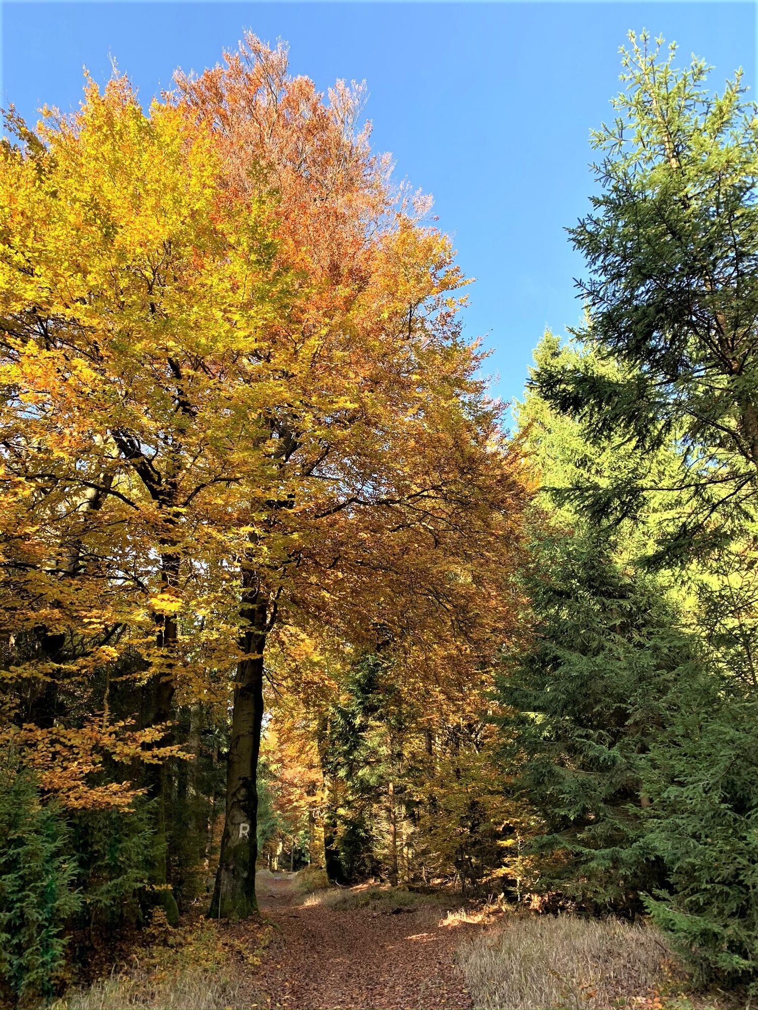
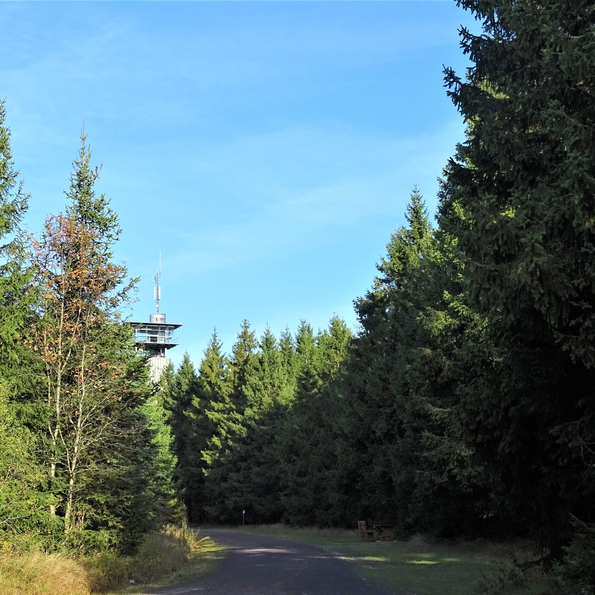

Parking lot Rennsteig Masserberg - Rennsteigwarte observation tower - Werra spring with Werra spring hut - Eisfelder rest stop - Rennsteig - Heide hut - Dreiherrnstein - Planieweg - Parking lot Rennsteig Masserberg
Áno
sturdy footwear
drink supplies
first aid kit
smartphone
Note the typical forest hazards! Hiking is at your own risk! To avoid slipping, do not step on moss-covered stones and rocks, and watch out for deadwood, branches, and fallen trees.
From Eisenach or Dresden A4: Exit the A4 at Erfurter Kreuz onto the new A71 towards Ilmenau (until Ilmenau East exit). There, take the B87 (right) and continue towards Ilmenau city center (or towards Schleusingen / Suhl) until the signpost for Neustadt / a.R., turn towards Neustadt / a.R. - straight over the railway tracks to Neustadt am Rennsteig. From there, it's only 9 km to Masserberg.
From Schleusingen: On the B4 towards Eisfeld, turn left at Ratscher towards Masserberg/Neustadt a.R., after the village Waldau first right, then left towards Masserberg. Continue via Lichtenau, Engenstein, Biberschlag, and Tellerhammer to Masserberg.
From Bamberg: Take the A73 to Eisfeld-Nord, then B4 towards Eisfeld till the roundabout, take the 3rd exit to Neuhaus/Masserberg B281a, then turn left onto B281a towards Masserberg, continue via Einsiedel, Fehrenbach to Masserberg.
From Schweinfurt: Take the B303 to Coburg, then A73 to Eisfeld-Nord, then B4 towards Eisfeld till the roundabout, take the 3rd exit to Neuhaus/Masserberg B281a, then turn left onto B281a towards Masserberg, continue via Einsiedel, Fehrenbach to Masserberg.
From Eisfeld: Turn right towards Neuhaus / Saalfeld, at the next intersection head towards Masserberg, continue via Waffenrod-Hinterrod to Masserberg.
From Hildburghausen: Drive towards Schleusingen, in Gerhardtsgereuth turn right towards Wiedersbach, then onto B4 towards Eisfeld, after Schwarzbach turn left towards Masserberg, continue via Lichtenau, Engenstein, Biberschlag, and Tellerhammer to Masserberg.
From Neuhaus am Rennweg line 508
From Neustadt am Rennsteig line 209
From Suhl line 203
Use the Deutsche Bahn travel portal to plan your trip at the following link:
→ Arrival in Masserberg
Parking lot Rennsteig (Google NAV point)
Stop by the new Werra spring hut, a must for every hiker.
Webové kamery z prehliadky
Získajte prehľad
Vždy naživo na mieste s viac ako 9 500 webovými kamerami. bergfex Ako používateľ Pro si teraz môžete pozrieť príslušné webové kamery pre mnohé zájazdy v aplikácii zájazdy z. Môžete si tak priamo prezerať aktuálne podmienky.
Obľúbené výlety v okolí
-
5,0
Naturlehrpfad Gießübler Schweiz
strednáTuristika 7,99 km -
3,0
Circular hike - "4 ponds hike" Neustadt am Rennsteig - Thuringian Forest
ťažkéTuristika 12,6 km -
3,8
Rundweg Talsperre
strednáCyklistika 14,5 km -
The Rennsteig - long-distance hiking trail from Hörschel to Blankenstein - Thuringian Forest
ťažkédiaľková pešia trasa 169,0 km -
5,0
Circular hiking route - TOP 1 - Werra Source - Masserberg - Thuringian Forest
strednáTuristika 5,94 km -
5,0
Rundtour Staudamm
svetloTuristika 3,91 km -
5,0
Circular hike - To the Schönbrunn Dam - Frauenwald
strednáTuristika 15,1 km -
Circular route - "When Rennsteig meets the Schwarzatal panorama path" - Limbach
strednáTuristika 9,68 km -
5,0
Circular hiking trail - Dwarf trail Frauenwald - Thuringian Forest
svetloTuristika 4,02 km -
5,0
Circular hiking route - "Panorama View" - Schönbrunn - Thuringian Forest
strednáTuristika 9,79 km
Turistika a stopovanie


Nenechajte si ujsť ponuky a inšpiráciu na ďalšiu dovolenku
Vaša e-mailová adresa bol pridaný do poštového zoznamu.





