







Blankenberger Panoramaweg
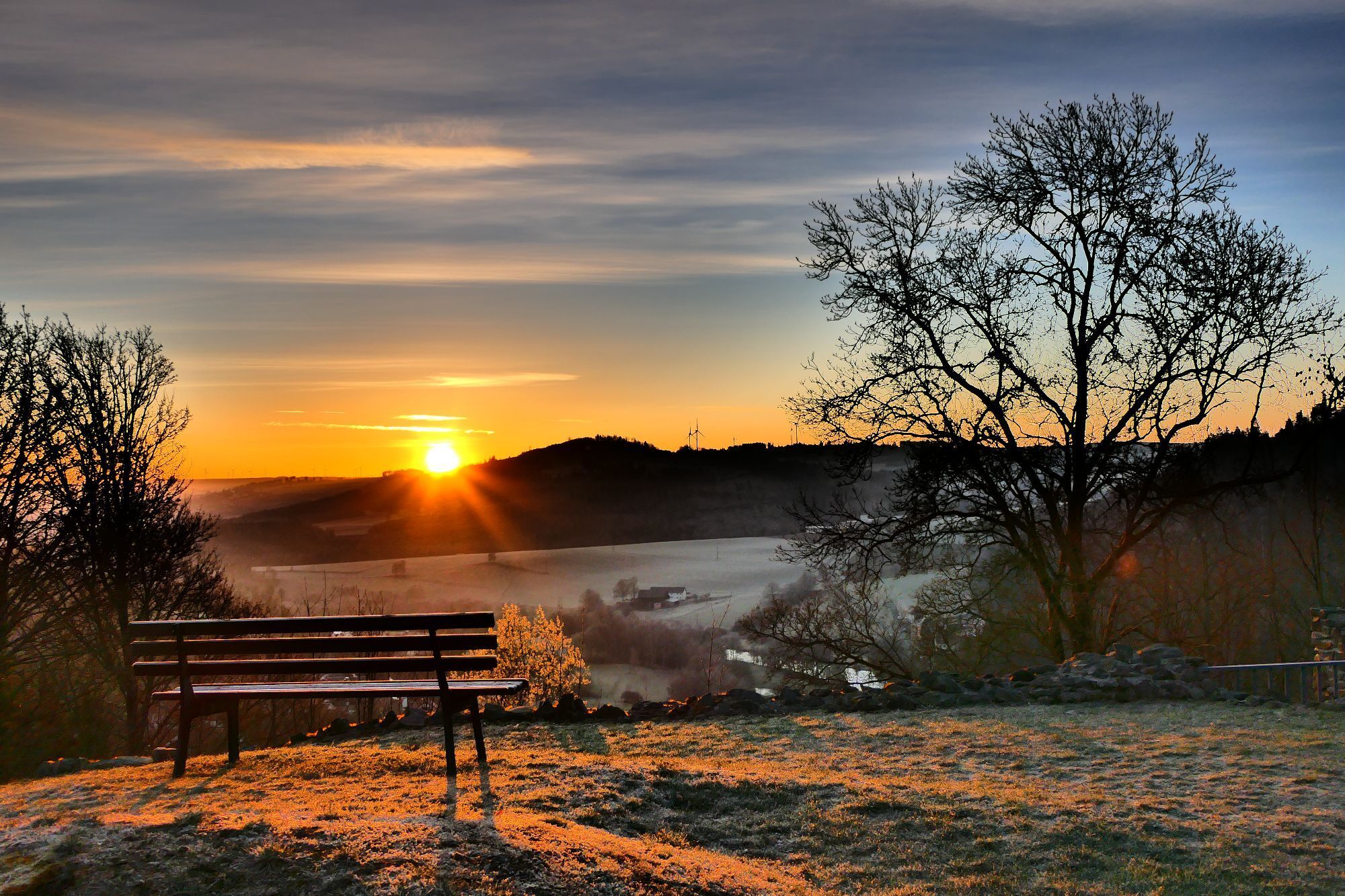



The start of the hiking route is the info point at the church.
The route leads to the viewpoint "Hochzeitskorb" with a shelter.
Then along Warthestraße and Felsenkellerweg to the viewpoint "Dreiländerblick - Zigeunerhügel".
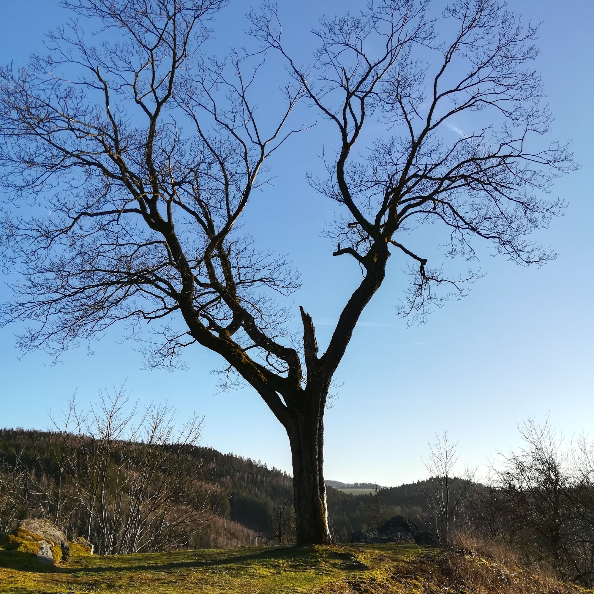
Then towards "Alte Eiche" - Arlasbrücke, back via Flurweg - Lindenstraße - Schloßberg.
Opportunity to stop at the inn.
The Blankenberg castle ruins with exhibition and shelter are on the way to the viewpoint "Bastei".
From there via the Historical Hunting Trail to the "Alte Papierfabrik" with viewpoint "Wasserturm" and exhibitions in the historic industrial monument.
Along the route "Alte Pferdebahn" to the hiking car park "Ziegelhütte".
Back to Blankenberg via Rehberg and Saalestraße to Lindenstraße - church.
Sturdy footwear recommended.
Obľúbené výlety v okolí
-
4,0
Höllental über Hirschsprung und unten wieder zurück
strednáTuristika 9,61 km -
4,5
Hirschberg Primeval Forest Trail - Thuringian Primeval Forest Trails
svetloTuristika 2,84 km -
5,0
Saalepfad - Circular hike at the Green Belt
ťažkéTuristika 34,8 km -
5,0
Circular route - Schönblickweg - Harra
strednáTuristika 7,80 km -
Hike - Rennsteig - Stage 8 - From Brennersgrün to Blankenstein
strednáTuristika 20,8 km -
4,0
Rund um die BleilochTalsperre - Saalburg Beach und zurück
strednáE-MTB 20,1 km -
Roßkunst Geopath - Harra
strednáTuristika 6,23 km -
Circular hiking trail - Mushroom experience trail Gräfenwarth - Thuringia
strednáTematická trasa 5,48 km -
Venzka - Hirschberg - Saalesteg - Venzka
strednáTuristika 8,24 km -
4,0
Von Wurzbach zum Häslich
svetloTuristika 6,70 km
Turistika a stopovanie


Nenechajte si ujsť ponuky a inšpiráciu na ďalšiu dovolenku
Vaša e-mailová adresa bol pridaný do poštového zoznamu.





