


To the scenic Hochmahdkopf
Úroveň náročnosti: T2


Fotografie našich používateľov
-

 © Larissa linserVytvorené dňa 21.10.2025
 -
 © Gizmo 81Vytvorené dňa 20.08.2025
 -
 © Gizmo 81Vytvorené dňa 20.08.2025
 -
 © Gizmo 81Vytvorené dňa 20.08.2025
 -
 © Gizmo 81Vytvorené dňa 20.08.2025
 -
 © Stefan OttoVytvorené dňa 07.07.2025
 -
 © Stefan OttoVytvorené dňa 07.07.2025
 -
 © Stefan OttoVytvorené dňa 07.07.2025
 -
 © Stefan OttoVytvorené dňa 07.07.2025
 -
 © Stefan OttoVytvorené dňa 07.07.2025
 -
 © Helmut SchuchterVytvorené dňa 07.12.2024
 -
 © Helmut SchuchterVytvorené dňa 07.12.2024
 -

 © Robert Hofbauer 1Vytvorené dňa 14.04.2024
 -
 © Robert Hofbauer 1Vytvorené dňa 14.04.2024
 -
 © Robert Hofbauer 1Vytvorené dňa 14.04.2024


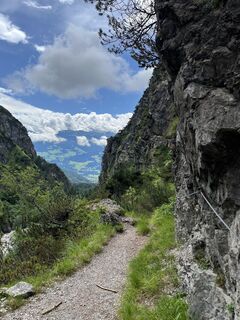
This hike to the Hochmahdkopf goes steeply uphill and somewhat more pleasantly downhill to the alpine inn St. Magdalena.

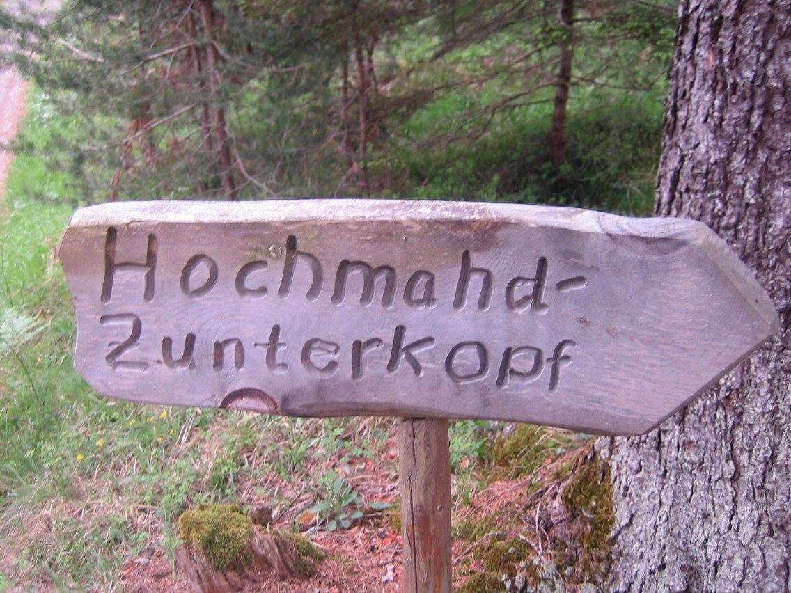


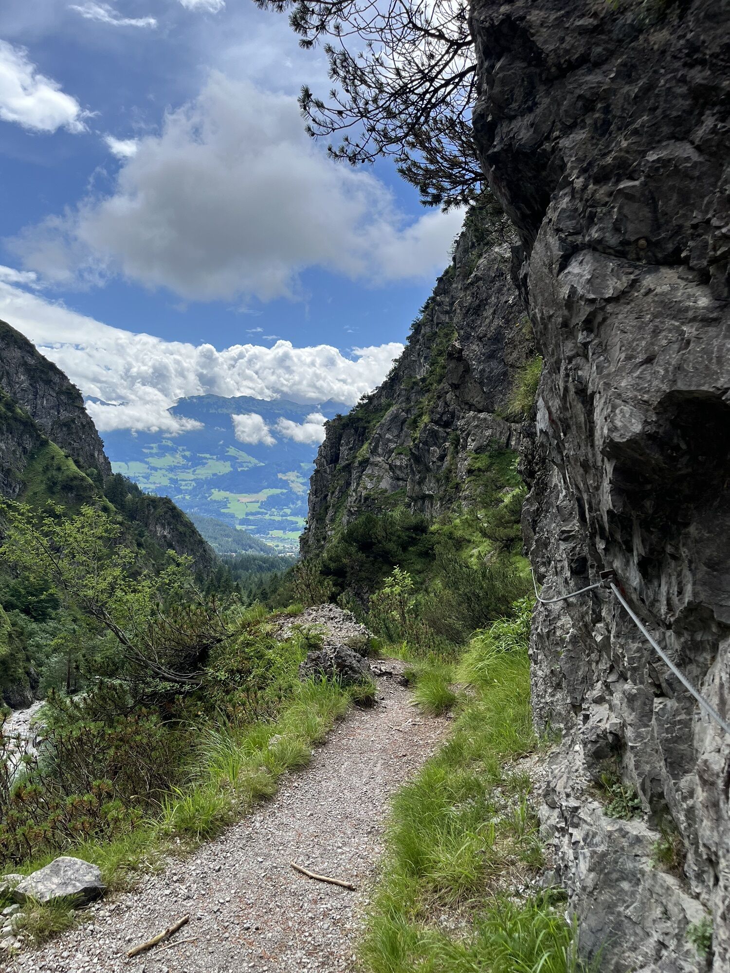
This route to the Hochmahdkopf starts at the Absam Halltal parking lot. After a few minutes, you leave Halltal Street and turn left onto a forest path. You follow this uphill until you cross the toboggan run.
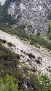
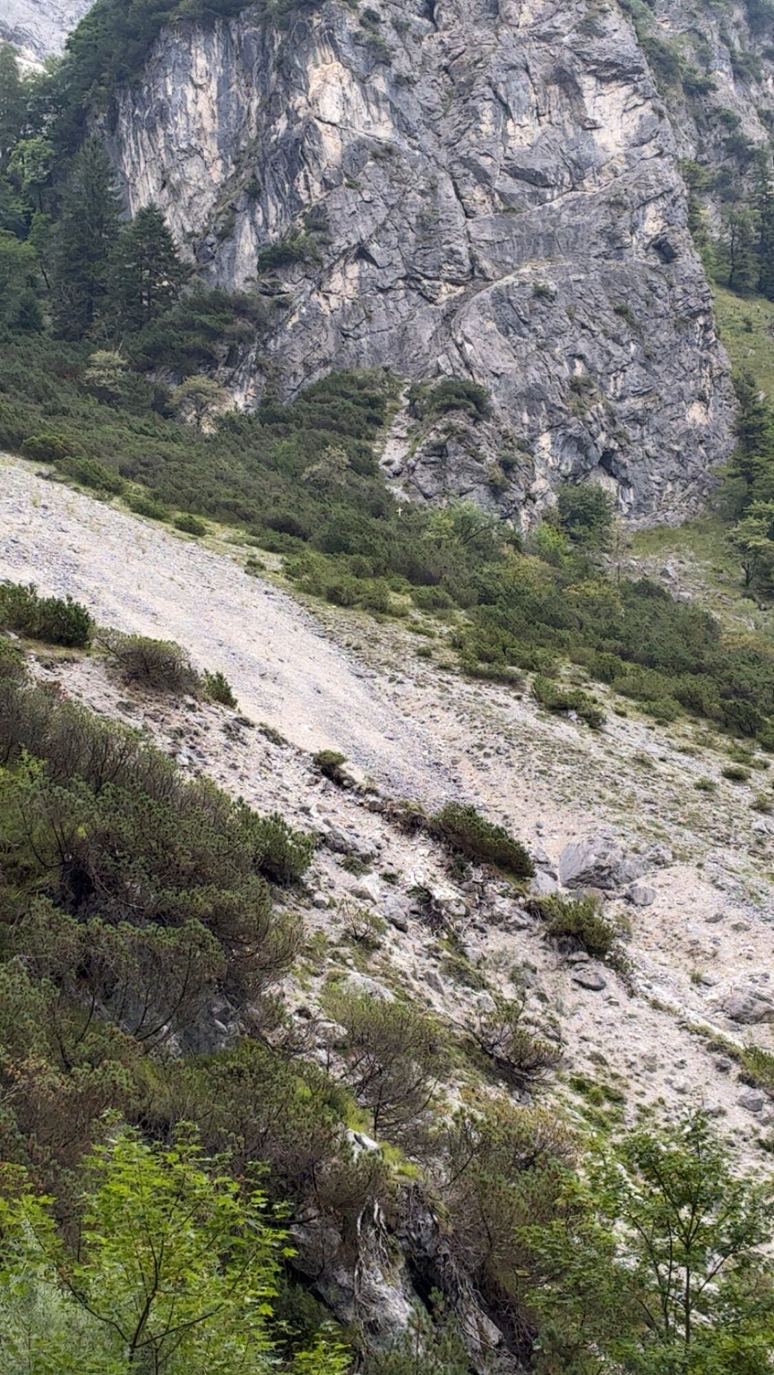
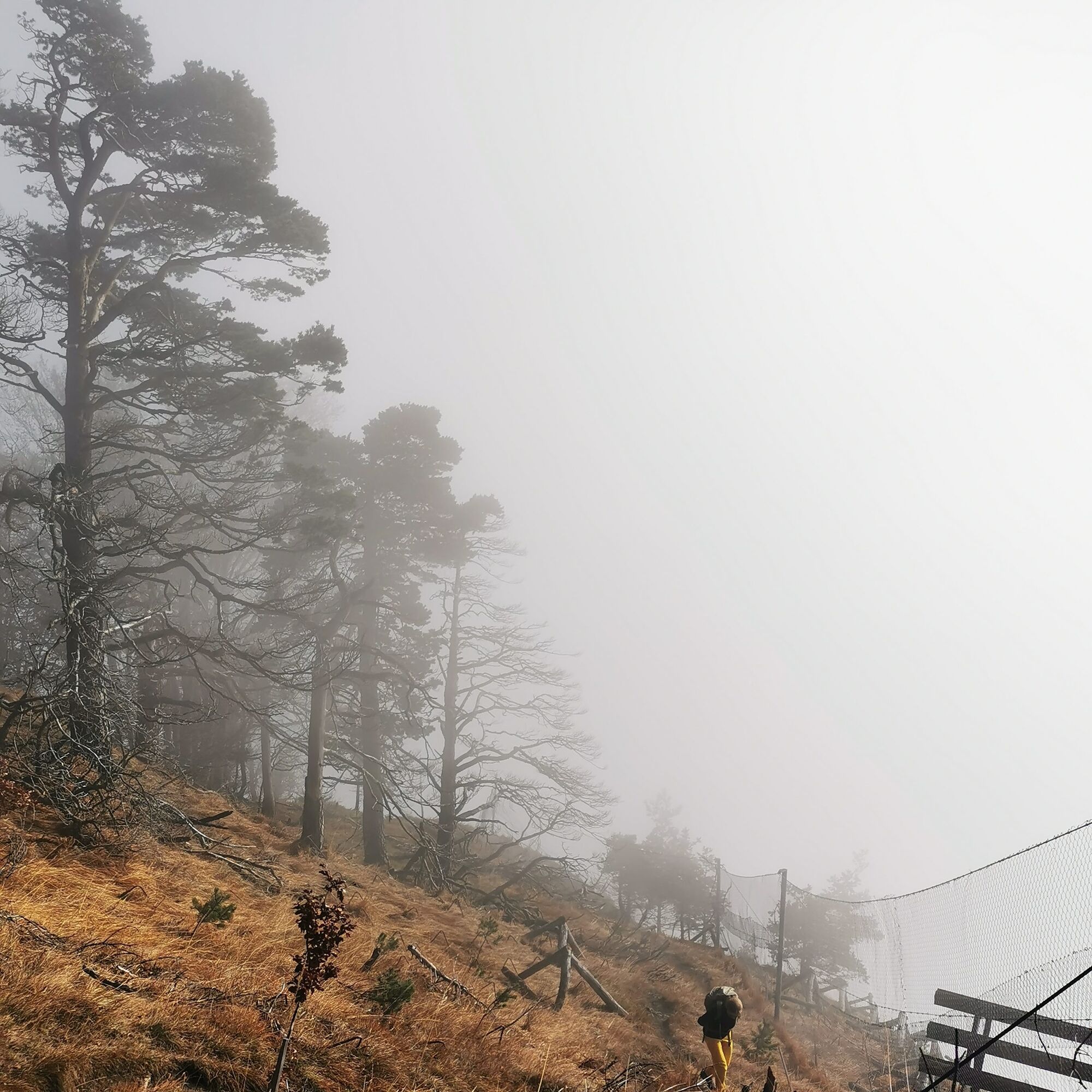
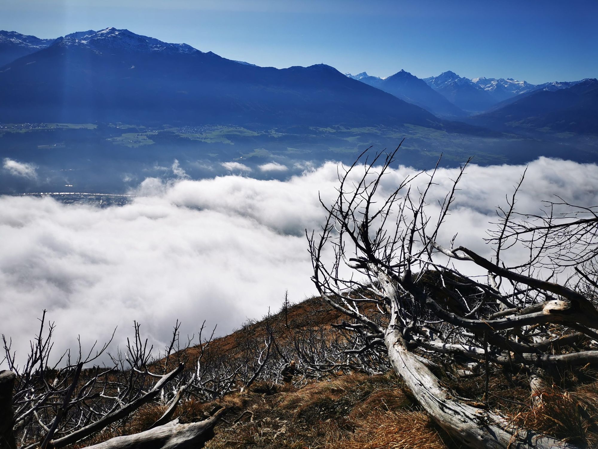
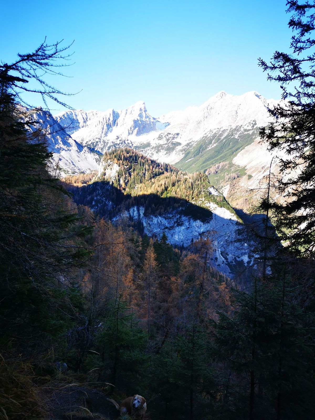
A short stretch on the toboggan run and then the ascent to "Hochmahdkopf" continues. This path becomes steep and good fitness is required. After about 40 minutes, the forest becomes lighter, unfortunately due to the 2014 forest fire.
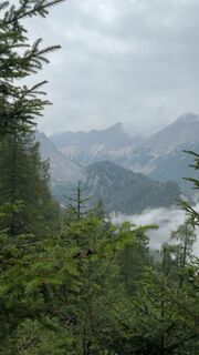
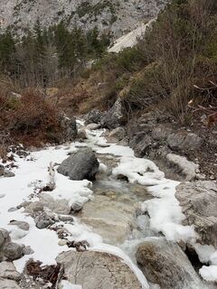
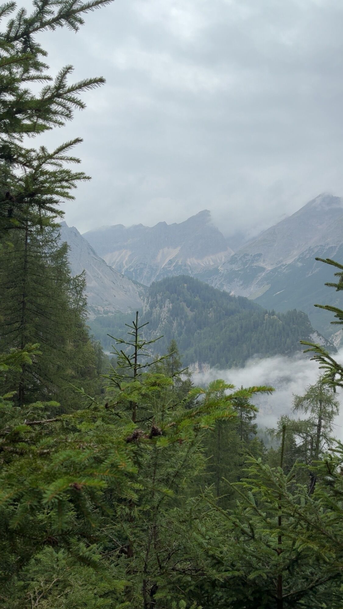
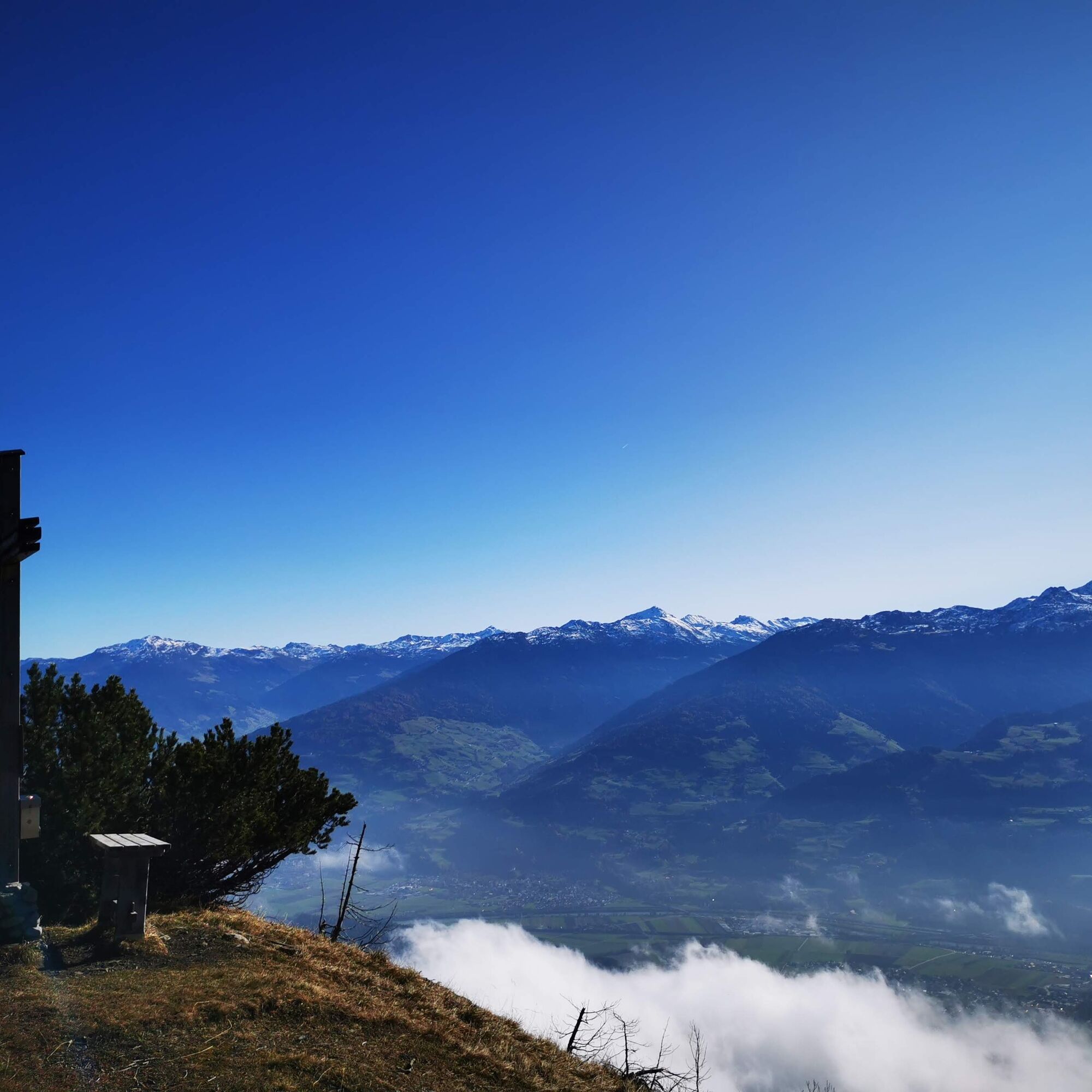
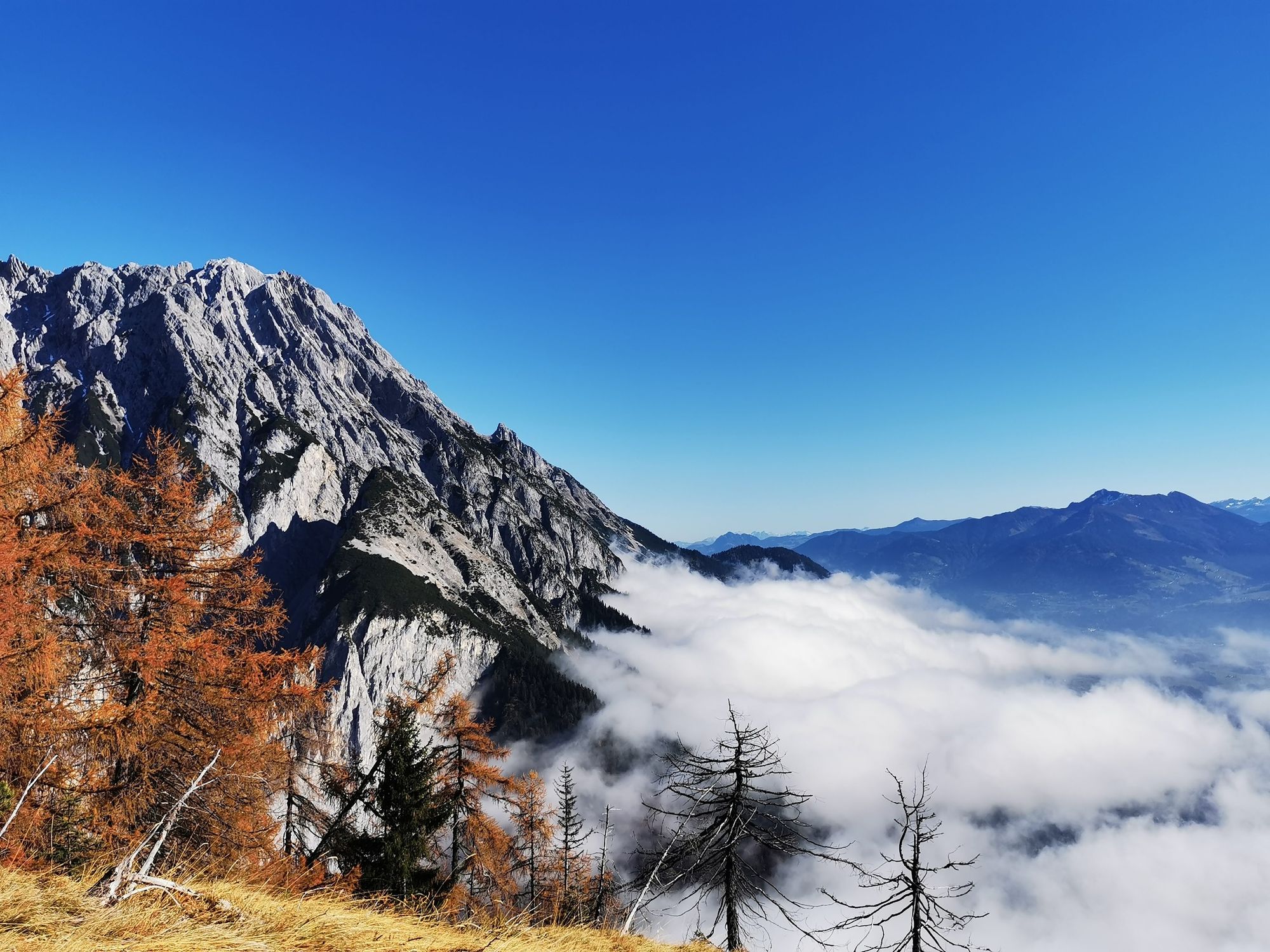
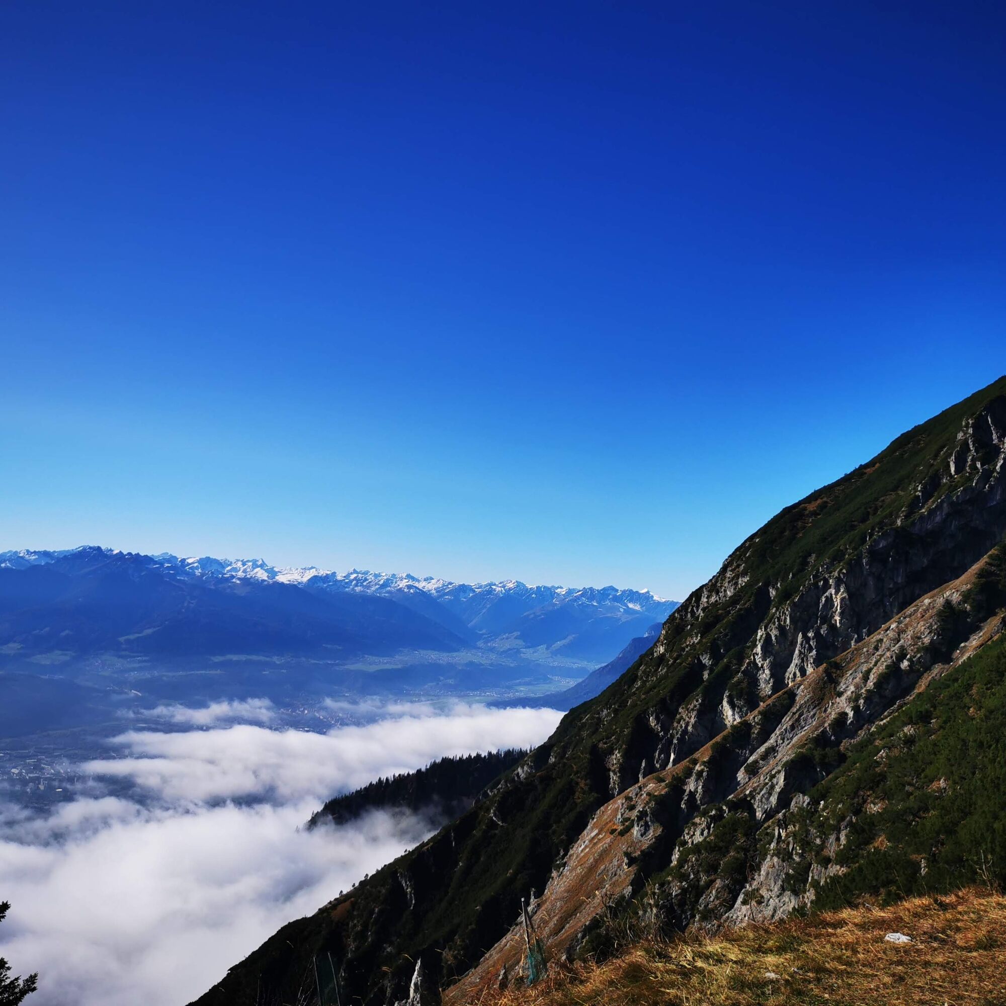
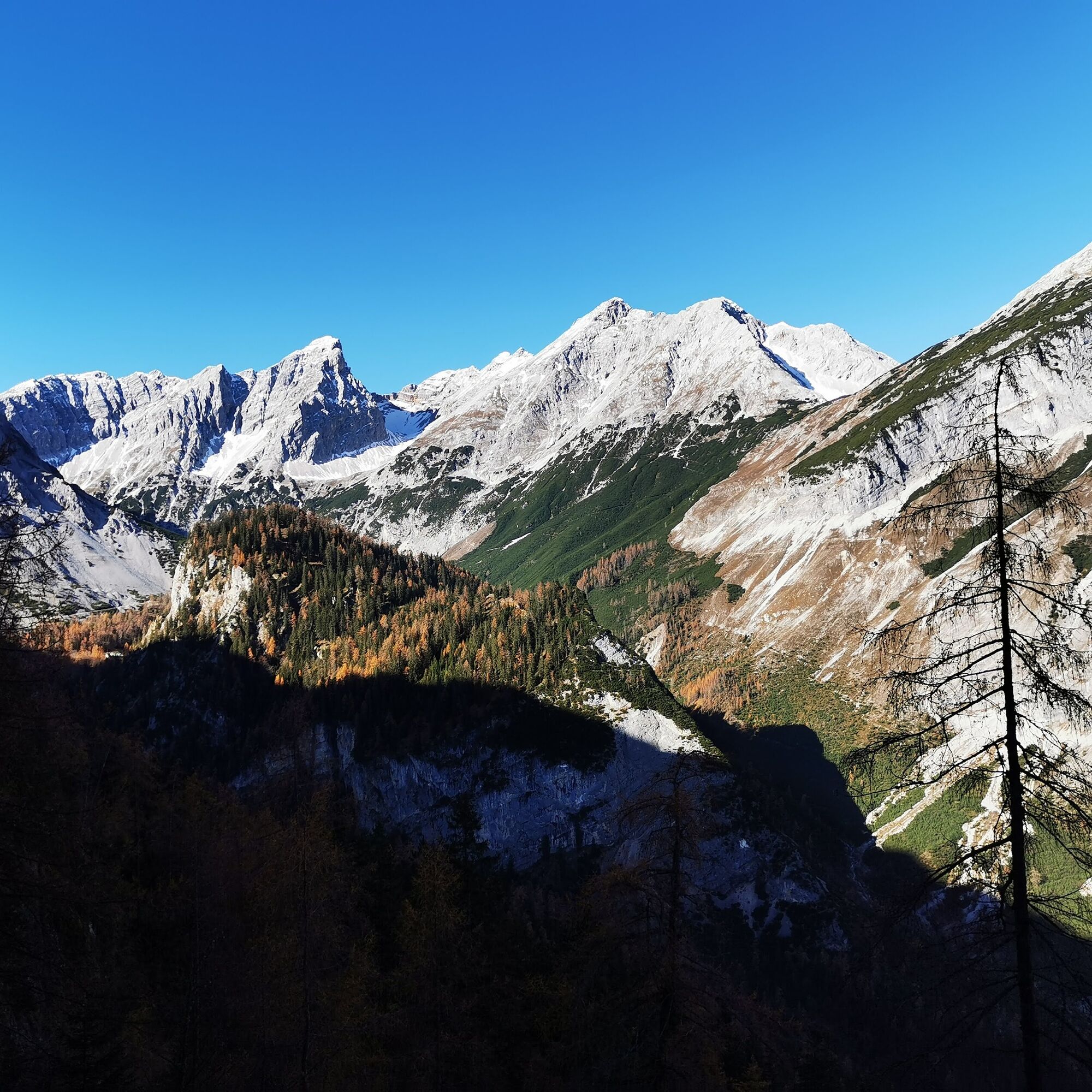
You reach the first helicopter cargo landing spot – a remnant of this fire. But nature still shows clear signs. Nevertheless, we try to enjoy the view of the Inntal, the Bettelwurf, and the Hundskopf.
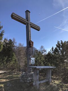
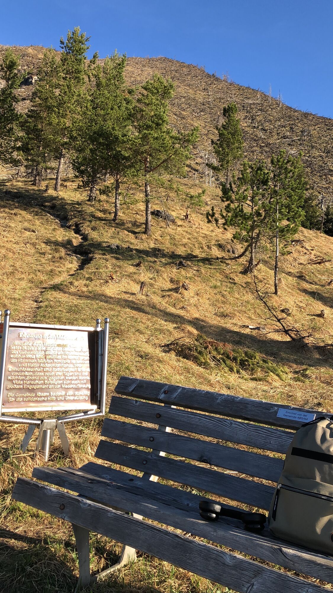
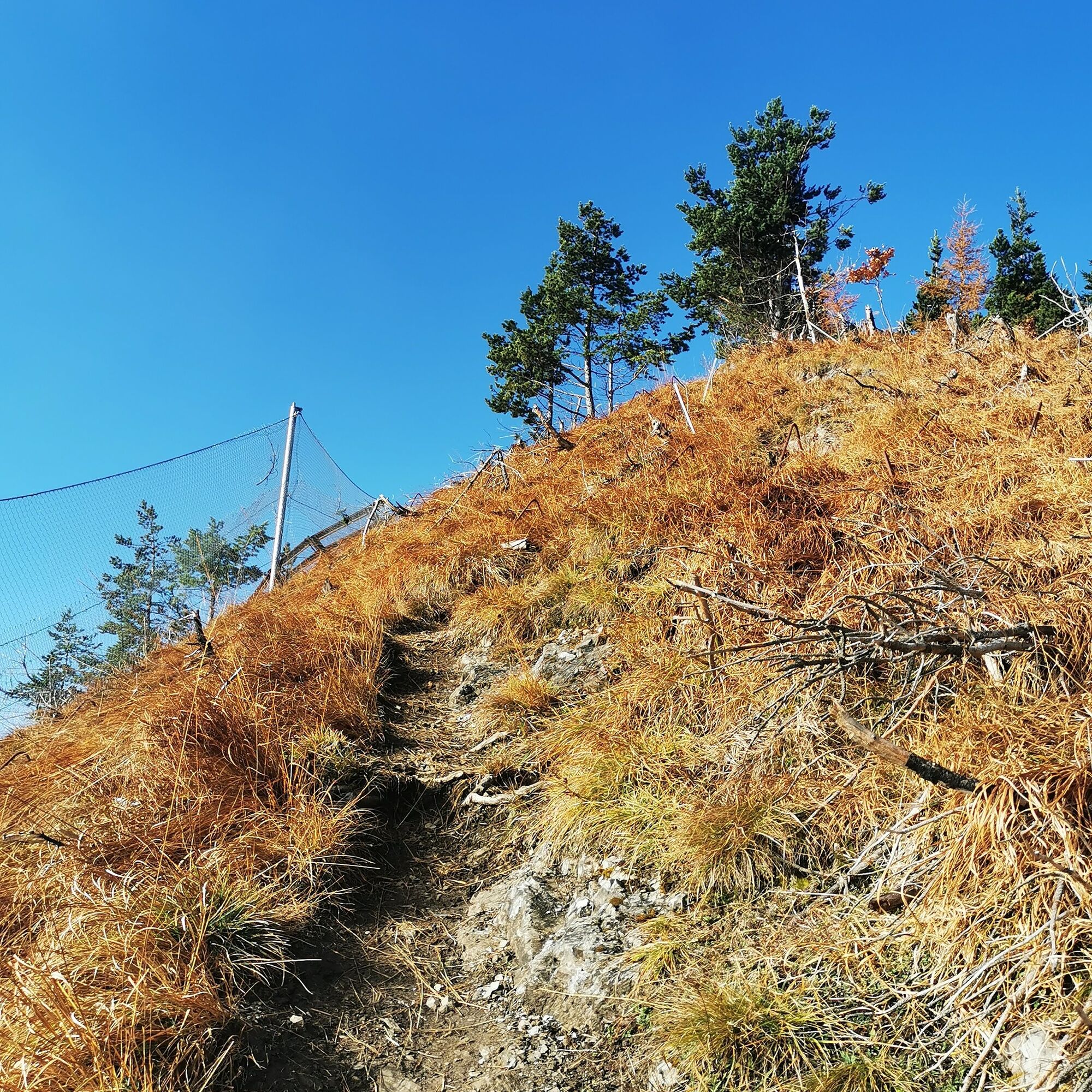
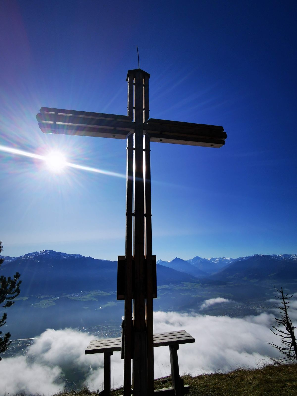
Further up along the newly erected wildlife fence and avalanche protections. After about 1.5 hours, at around 1,500m, you reach the Vorberg with a small cross and bench.
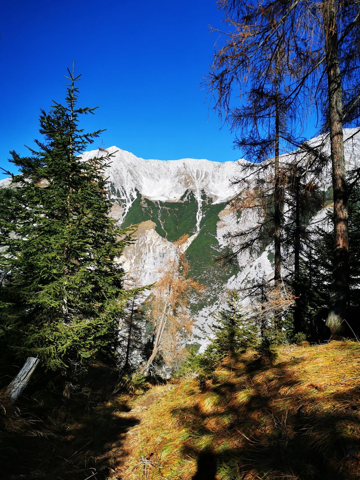
From here, the last 200m of elevation are again strenuous. Without shade, it gets even steeper than before. The occasional breeze is warmly welcomed.
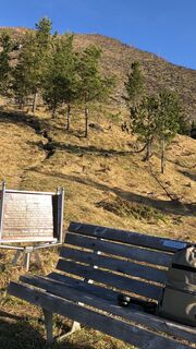
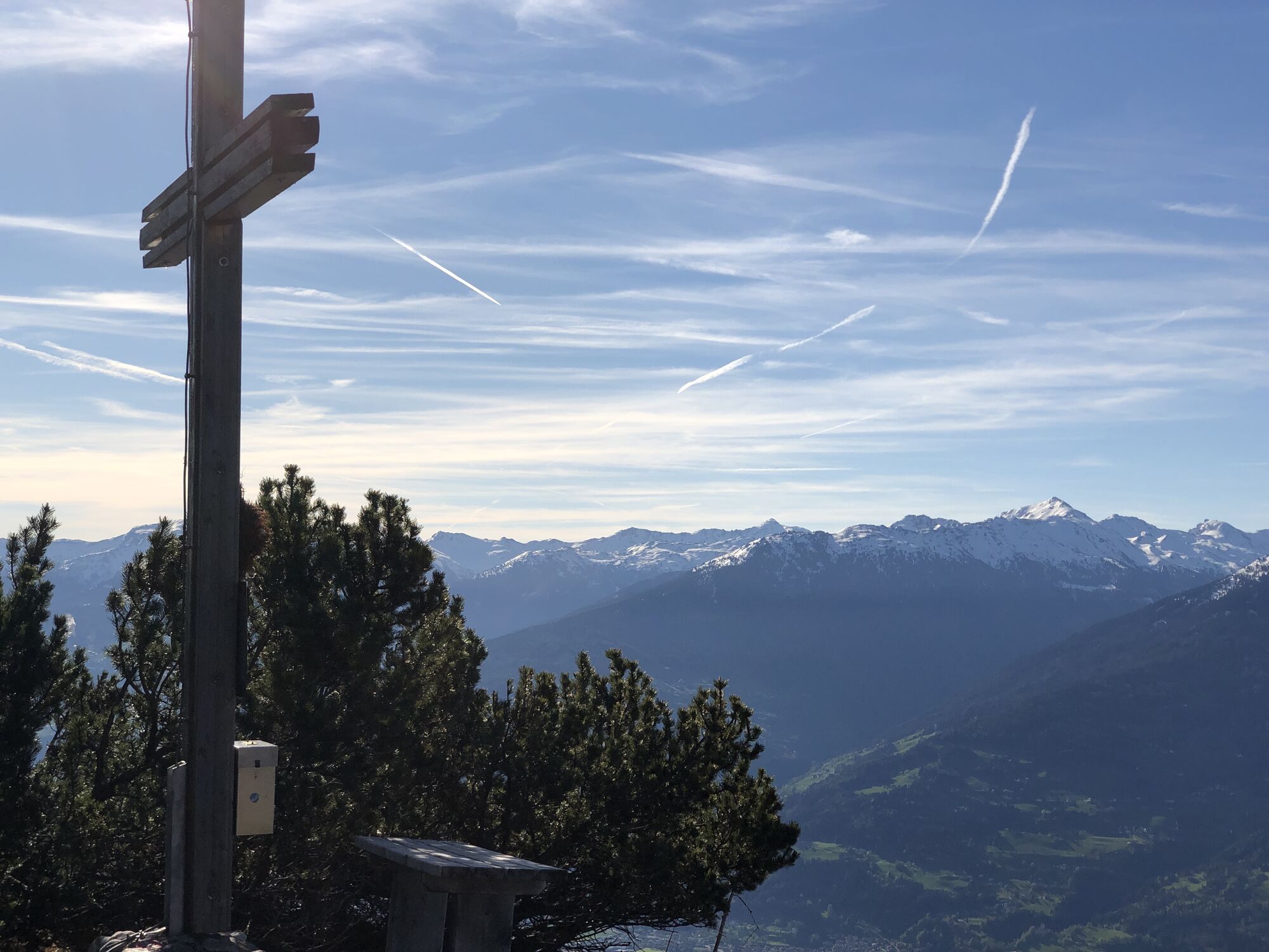
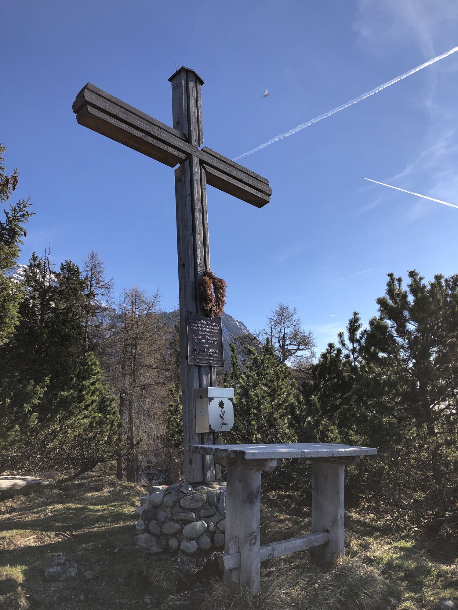
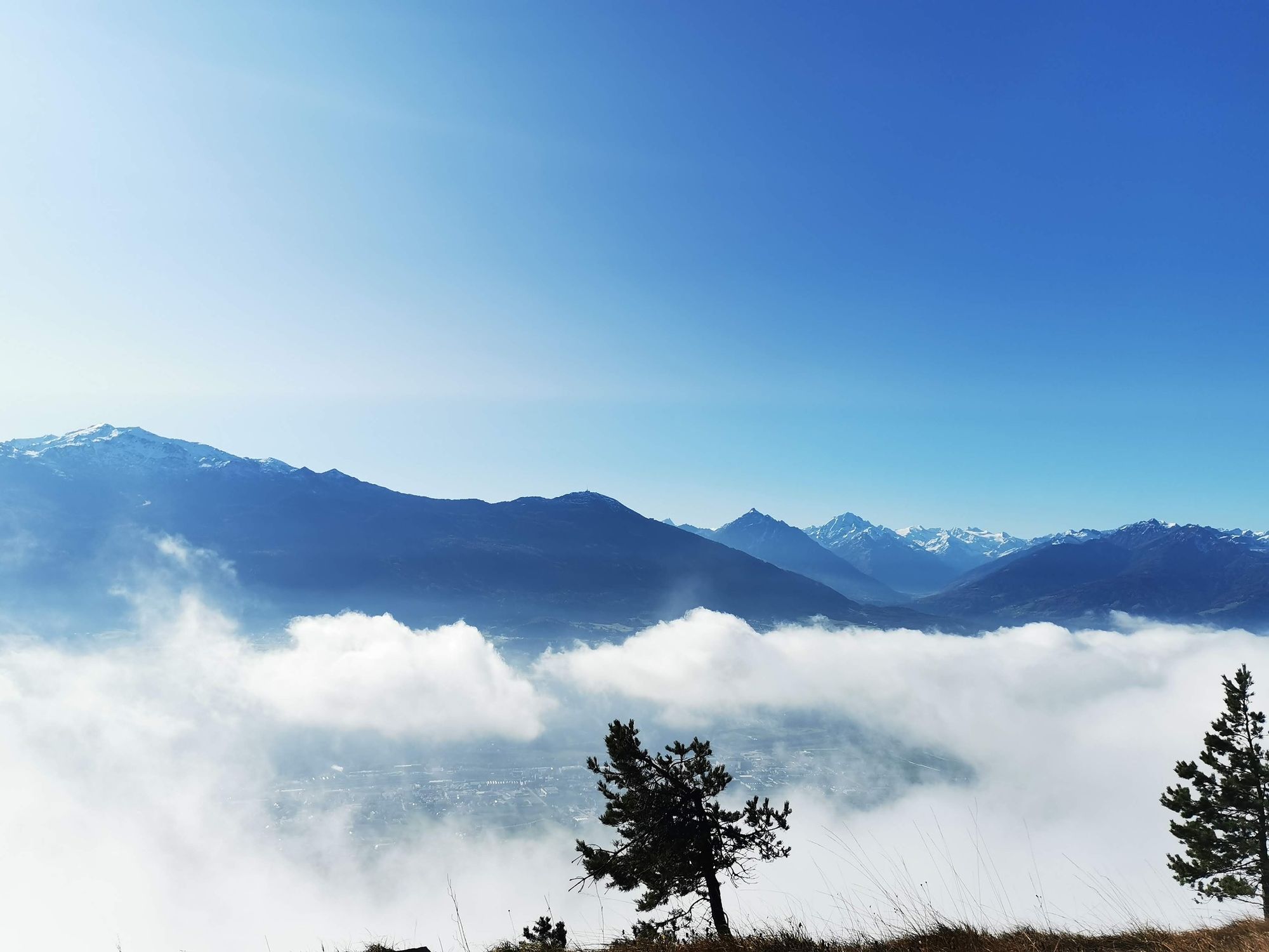
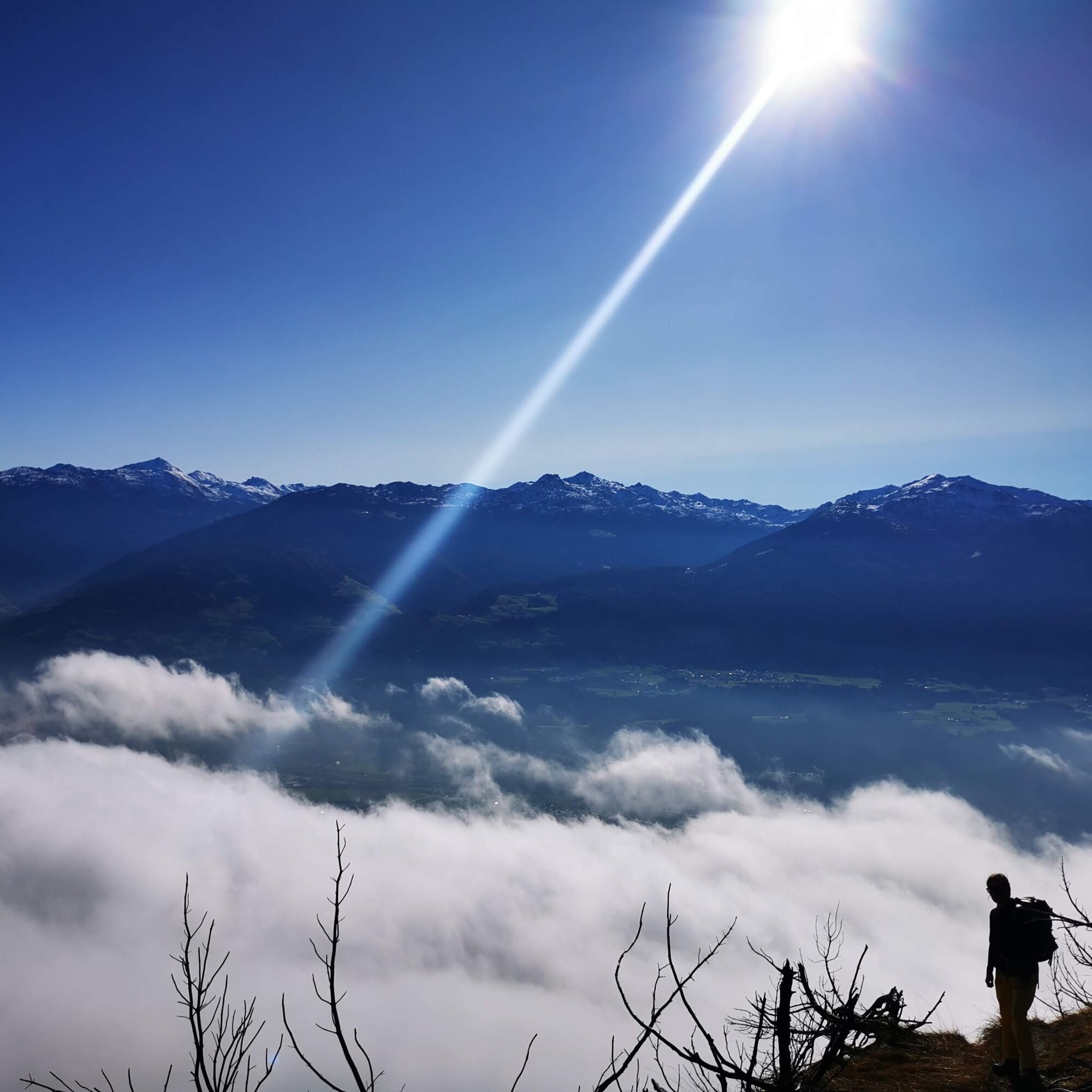
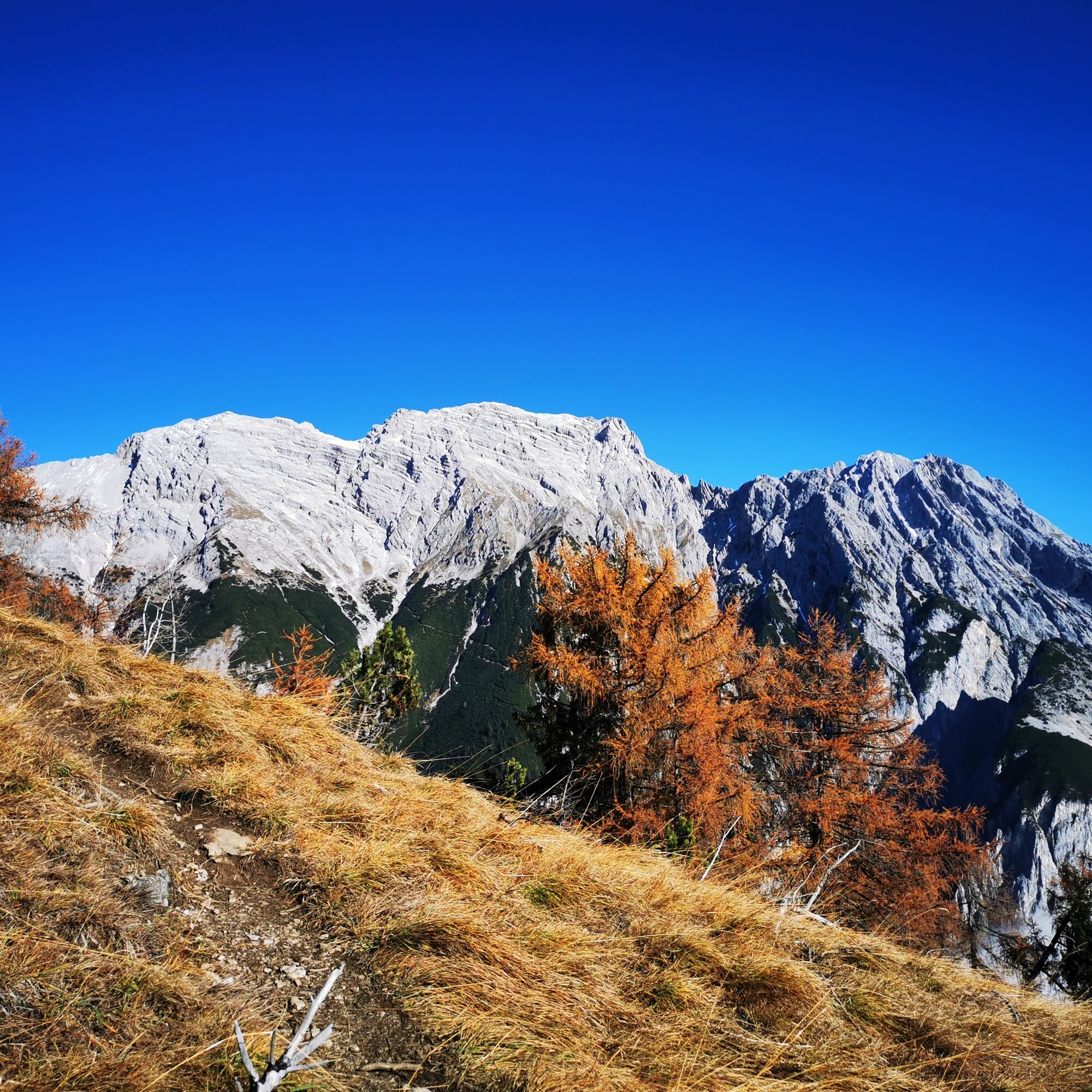
After 2 hours, you reach the summit of the Hochmahdkopf at 1,738m with a newly erected summit cross. The view from up here is impressive: across to the Zunterköpfe, down into the Inntal. And there are plenty of benches to rest on. Nice!
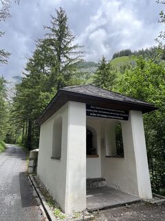
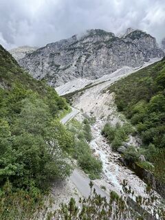
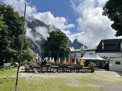
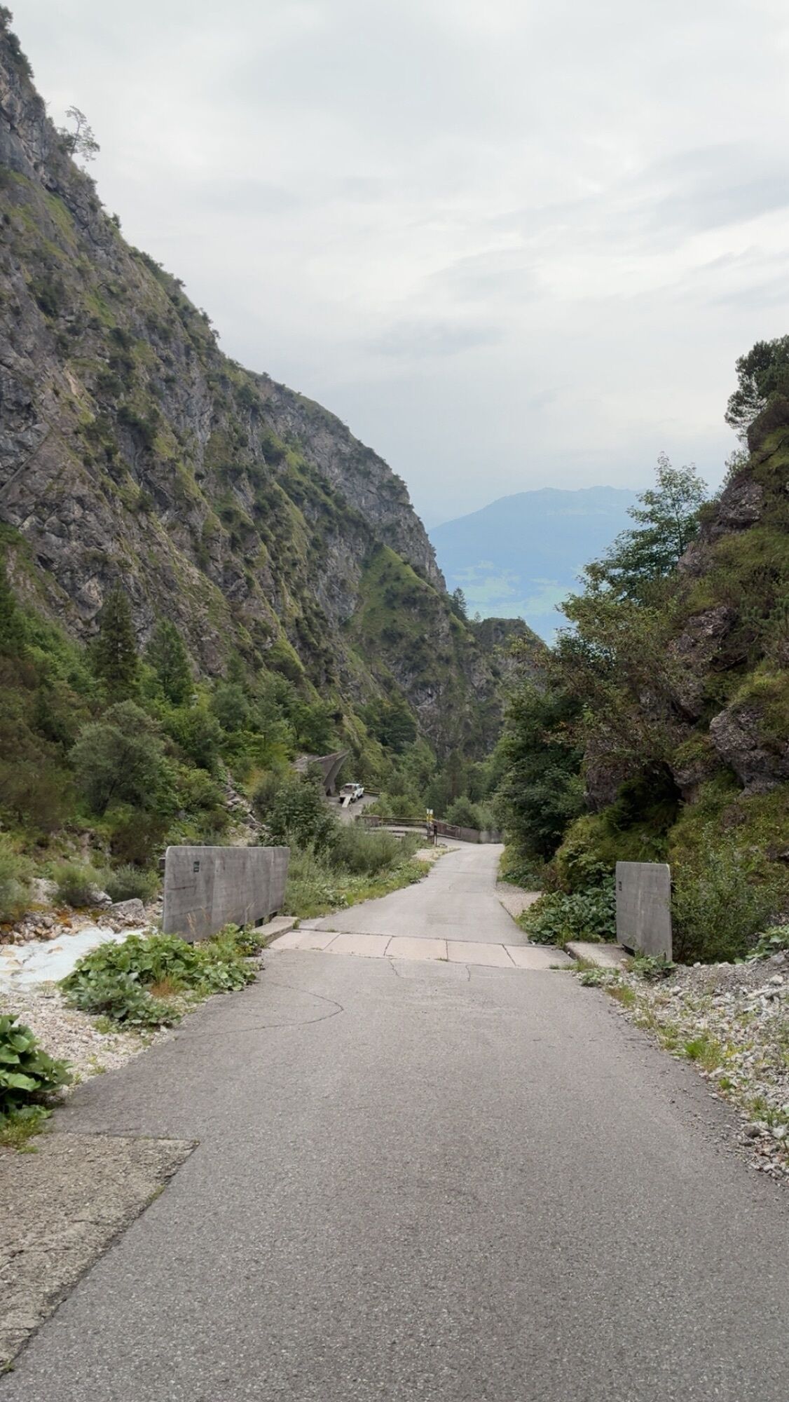
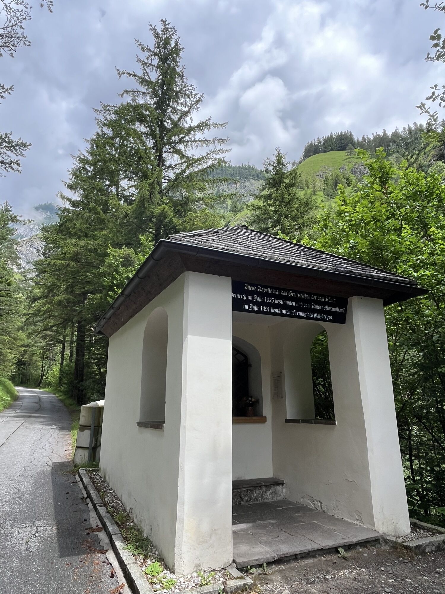
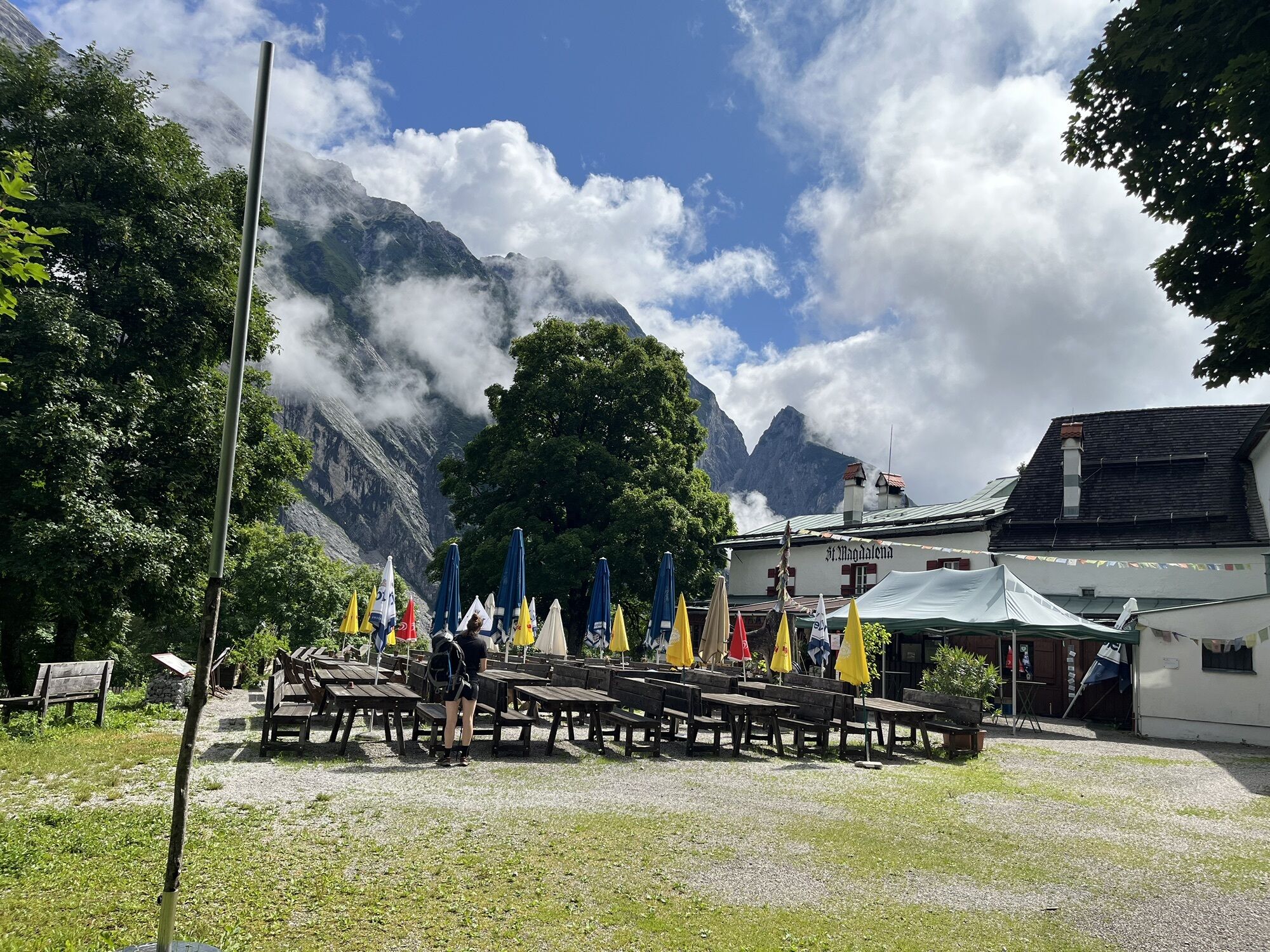
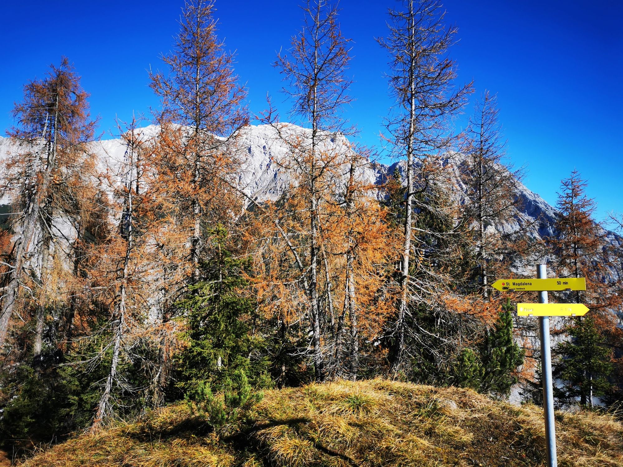
Down you go a short distance back and then follow the path down to St. Magdalena. The refreshment here is truly well deserved!
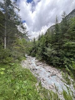
Behind the chapel St. Magdalena, you take the return path via the Eibental. From the Eibental, then the second part of the Fluchtsteigs, and soon you arrive back at the Halltal parking lot.
Áno
Hall - Absam - Halltal parking lot
By bus 501/bus 503 to Absam/Bettelwurfsiedlung
Parking options at the starting point
T2
In summer, it’s advisable to start early - south-facing ascent!
Obľúbené výlety v okolí
-
4,8
Felix-Kuen via ferrata on the Hundskopf
ťažkéVia ferrata 2,18 km -
3,7
To the alpine inn St. Magdalena in the Halltal
strednáTuristika 7,24 km -
4,5
Sonnjoch
strednáTuristika 11,2 km -
4,9
3 Almen Karwendelrunde MTB Route 408
ťažkéMountainbike 23,8 km -
4,6
Hinterriss - Eng - Falkenhütte
strednáTuristika 6,88 km -
4,7
Gramaialm - Lamsenjochhütte
strednáTuristika 4,08 km -
4,7
Patscherkofl
strednáTuristika 18,5 km -
4,0
In the footsteps of Emperor Franz I to the Kaisersäule
strednáTuristika 11,0 km -
Der Goethe Weg in Tirol
strednáTuristika 15,9 km -
Through the Halltal to the gem Issanger
strednáTuristika 13,7 km
Turistika a stopovanie


Nenechajte si ujsť ponuky a inšpiráciu na ďalšiu dovolenku
Vaša e-mailová adresa bol pridaný do poštového zoznamu.