Winterwanderung Hochfilzen - Hoametzlhütte
stredná
Zimná turistika 5,0
Navigácia na stránke
Získajte túto prehliadku v mobilnom telefóne
Mapa
Winterwanderung Hochfilzen - Hoametzlhütte
stredná
Zimná turistika
4,07 km
Naskenujte kód QR a spustite navigáciu v aplikácii bergfex
QR Code
Turistika a stopovanie

Winterwanderung Hochfilzen - Hoametzlhütte

stredná
Zimná turistika 5,0
Vzdialenosť
4,07 km
Trvanie
01:45 h
Ascent
197 hm
Hladina mora
949 - 1 164 m
Stiahnutie skladby
Mapa
Winterwanderung Hochfilzen - Hoametzlhütte
stredná
Zimná turistika
4,07 km

Fotografie našich používateľov

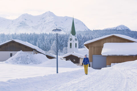
Start at the center of Hochfilzen. Opposite the church you take the footpath "Herrengasse" towards Warming. Go through the underpass and turn left. Between the farmhouses "Hörlbauer" and "Glaagut" you...


Opis

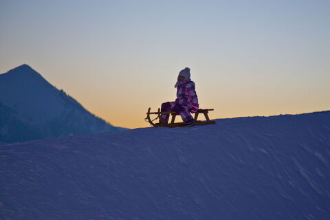
Start at the center of Hochfilzen. Opposite the church you take the footpath "Herrengasse" towards Warming. Go through the underpass and turn left. Between the farmhouses "Hörlbauer" and "Glaagut" you turn left. Follow this way up to the alpine hut "Hoametzlhütte"(+43.676.6064415). Take the same way back or tobbogan down! The tobbogan run is illuminated until 12h00 p.m.

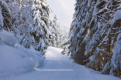
From the fork in the Tennweg, where the asphalt road ends, the tour to the Hoametzl hut can easily be made on snowshoes.

Trasa
Hochfilzen
(961 m)
Dedina
0,0 km
Pfarrkirche Maria Schnee
(958 m)
Miesto uctievania
0,1 km
Hoametzl Hütte
(1 170 m)
Úkryt
4,0 km
Trasa
Mapa
Winterwanderung Hochfilzen - Hoametzlhütte
stredná
Zimná turistika
4,07 km
Restaurant im Hotel Edelweiß
(961 m)
Reštaurácia
0,0 km
Hochfilzen
(961 m)
Dedina
0,0 km
Pfarrkirche Maria Schnee
(958 m)
Miesto uctievania
0,1 km
Hochfilzenlift 2
(1 170 m)
Stanica gondoly
4,0 km
Hoametzl Hütte
(1 170 m)
Úkryt
4,0 km
Opis

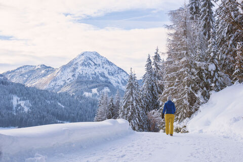
This hike offers a little of the forest and a lot of sun, as well as beautiful vieuws of the Wilder Kaiser, Leoganger Steinberge and Kitzbüheler Alpen.

Technológia
3 / 6
Stav
4 / 6
Krajina
5 / 6
Skúsenosti
5 / 6
Najlepšie ročné obdobie
Jan
Feb
Mar
Apr
Máj
Jún
Júl
Aug
Sep
Okt
Nov
Dec
Autor
Poskytuje Tourismusverband Pillerseetal
Vytvorené dňa 10. decembra 2020
1 604 Hovory
Zdieľať prehliadku
Mapa
Winterwanderung Hochfilzen - Hoametzlhütte
stredná
Zimná turistika
4,07 km
Chyba
Vyskytla sa chyba. Prosím, skúste to znova.
Naposledy sledované Pred 3 týždňami
Informácie o trase
Alternatívy

take a tobogan back to valley

Zastávka na odpočinok a občerstvenie

Hoametzlhütte

Materiál karty

Hiking map are available in all tourist office of the PillerseeTal

Informácie o príchode
Verejná doprava

mit dem Skibus zum Gemeindeamt Hochfilzen

Parkovanie

Car park in the centre of Hochfilzen or at liftstation Warming

Oceňovanie
5,0
5
(2)
4
(0)
3
(0)
2
(0)
1
(0)
5
(2)
4
(0)
3
(0)
2
(0)
1
(0)
Napíšte recenziu

Recenzie pomáhajú ostatným používateľom vybrať si ďalšie dobrodružstvo. Prosím, hodnoťte len prehliadku, nie počasie alebo občerstvenie.

Vyberte jednu z hviezdičiek a ohodnoťte prehliadku
Zlé turné
Slabé turné
Priemerné turné
Dobrá prehliadka
Vynikajúca prehliadka
bergfex logo Získajte prehľad Vždy naživo na mieste s viac ako 9 500 webovými kamerami. bergfex Ako používateľ Pro si teraz môžete pozrieť príslušné webové kamery pre mnohé zájazdy v aplikácii zájazdy z. Môžete si tak priamo prezerať aktuálne podmienky.
Turistika a stopovanie

Turistika a stopovanie

Turistika a stopovanie
Viac ako 550.000 návrhov výletov, podrobné mapy a intuitívny plánovač trás robia z aplikácie povinnú výbavu pre všetkých nadšencov prírody.
Turistika a stopovanie