






Trail no. 39: Passo Calzavitello - Passo di Rastello
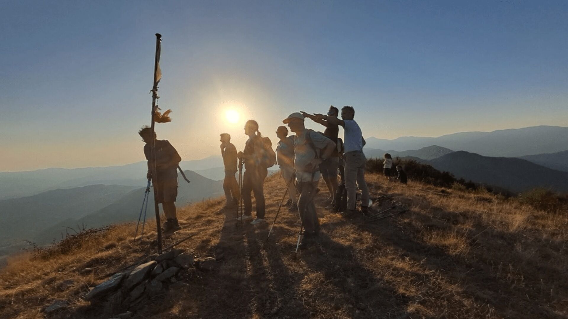
This is an interesting and varied trail though quite short. Following the route along pathways, across fields and through woods, you cross two summits: the panoramic Monte Cissò (996 m) and the woody Monte...
This is an interesting and varied trail though quite short. Following the route along pathways, across fields and through woods, you cross two summits: the panoramic Monte Cissò (996 m) and the woody Monte Antessio (1161 m).


Mountain equipment is recommended.
It is recommended to refuel with water and food before departure.
There are no rest stops/accommodation facilities along the route.
It is not recommended to undertake the route in winter on the most difficult stages, especially in the presence of snow, ice or fog.
Obľúbené výlety v okolí
-
SP_03 Passo della Cappelletta – Monte Góttero – Foce dei Tre Confini – Passo della Cappelletta
Turistika 11,2 km -
SP_16 La Valle Lagorara
Turistika 11,9 km -
SP_02 I monti Dragnone e Castellaro
Turistika 6,37 km -
SP_09 Anello di Varese Ligure
Turistika 23,1 km -
Trail no. 40: Passo di Rastello - Valico di Casoni
Turistika 9,97 km -
Trail no. 38: Passo della Cappelletta - Passo Calzavitello
Turistika 12,5 km -
Trail no. 37: Passo di Cento Croci - Passo della Cappelletta
Turistika 5,02 km -
Trail no. 41: Valico di Casoni - Passo Alpicella
Turistika 7,62 km -
Long Loop
strednáMountainbike 21,8 km -
Short Loop 1
strednáMountainbike 17,2 km
Turistika a stopovanie


Nenechajte si ujsť ponuky a inšpiráciu na ďalšiu dovolenku
Vaša e-mailová adresa bol pridaný do poštového zoznamu.





