


Run 6: Predazzo - Sottosassa
Úroveň náročnosti: 3
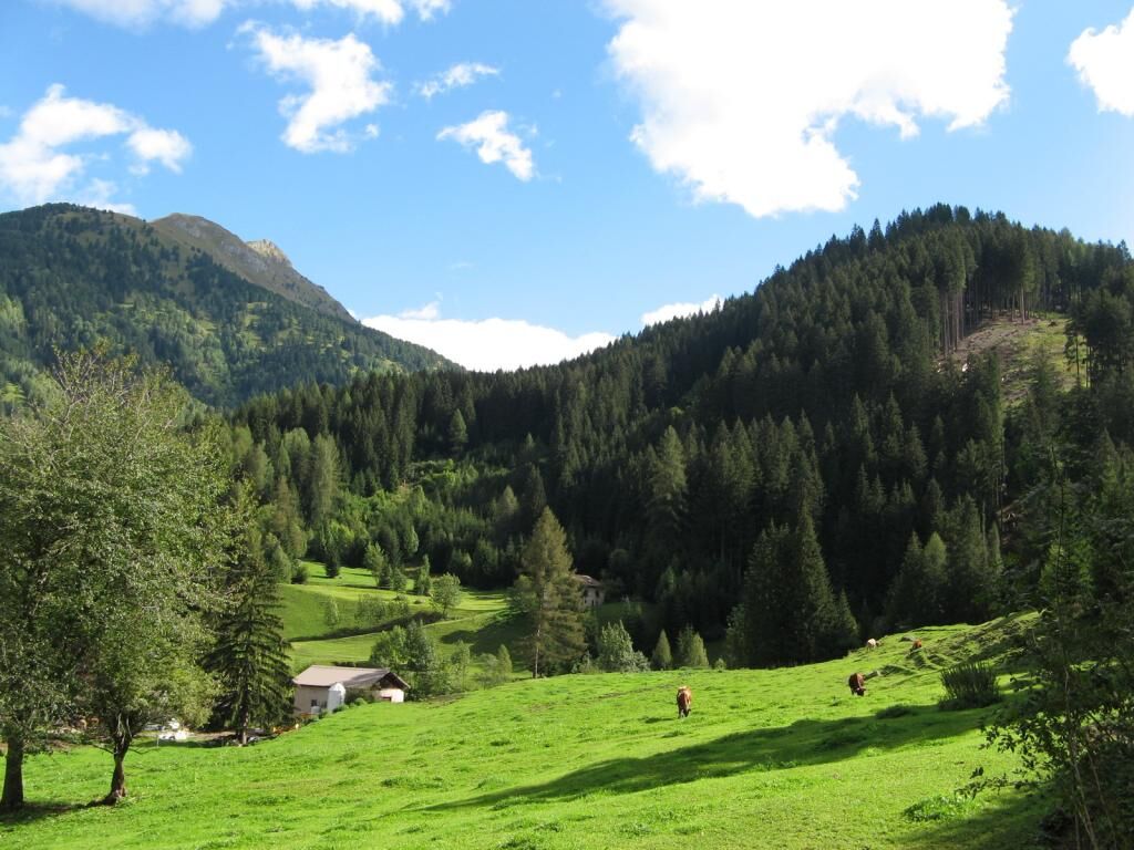
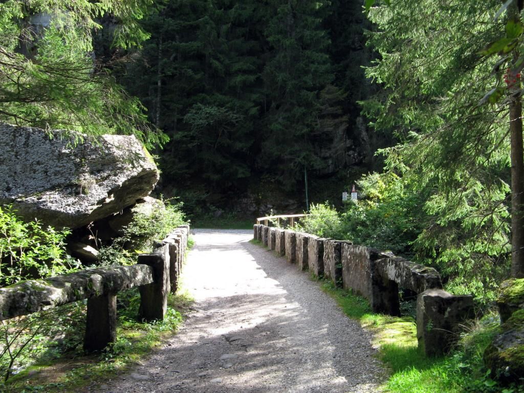
The trail is almost all on dirt terrain. Altimetrically it is a bit more challenging with the uphill part already at the beginning. It runs along the Travignolo Creek passing by the swimming pool and camping...
The trail is almost all on dirt terrain. Altimetrically it is a bit more challenging with the uphill part already at the beginning. It runs along the Travignolo Creek passing by the swimming pool and camping site and then enters the woods and climbs for about 1 km more firmly. After the old stone bridge you continue more gently until the turnaround.

Áno
3
Obľúbené výlety v okolí
-
4,9
Torre di Pisa mountain hut
strednáTuristika 9,09 km -
4,7
Passo Costalunga - Sella del Ciampaz
strednáTuristika 8,35 km -
4,5
Cavallazza Peak
strednáTuristika 7,82 km -
5,0
Latemar Umrundung - die Kurze und Bequeme
strednáTuristika 12,1 km -
4,5
Kölner Hütte - Hirzelsteig - Rotwandhütte - Baita Tre - Karerpass
strednáTuristika 9,56 km -
5,0
Rosengarten: Cigoladepass und Fassaner Höhenweg
strednáTuristika 15,6 km -
5,0
Giro del catinaccio a nova levante
Turistika 11,7 km -
4,9
Rifugio Paolina - Laurin's Lounge - Kölner Hütte - Rifugio Fronza alle Coronelle - Paolina
strednáTuristika 8,19 km -
4,8
Latemar Tour - Tour 930
strednáMountainbike 37,4 km -
5,0
Tour of Monte Cornon
strednáTuristika 7,65 km
Turistika a stopovanie


Nenechajte si ujsť ponuky a inšpiráciu na ďalšiu dovolenku
Vaša e-mailová adresa bol pridaný do poštového zoznamu.