







Garda Dolomiti Tour

Úroveň náročnosti: ■



Signage: 738. Garda Dolomiti Tour
Long MTB routes often pose challenges and are suited only for experienced bikers. The Garda Dolomiti Tour is a delightful exception: spanning over 66 kilometres from the...
Signage: 738. Garda Dolomiti Tour
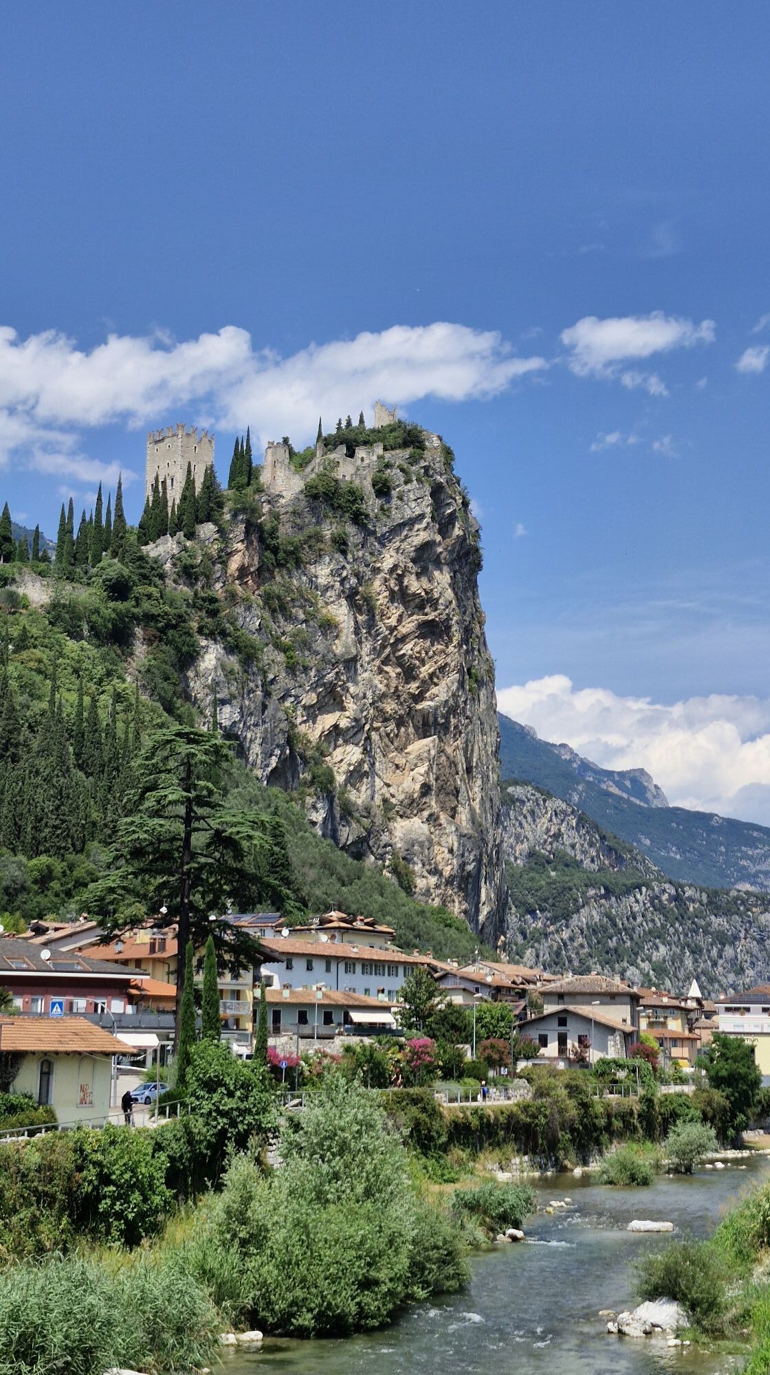
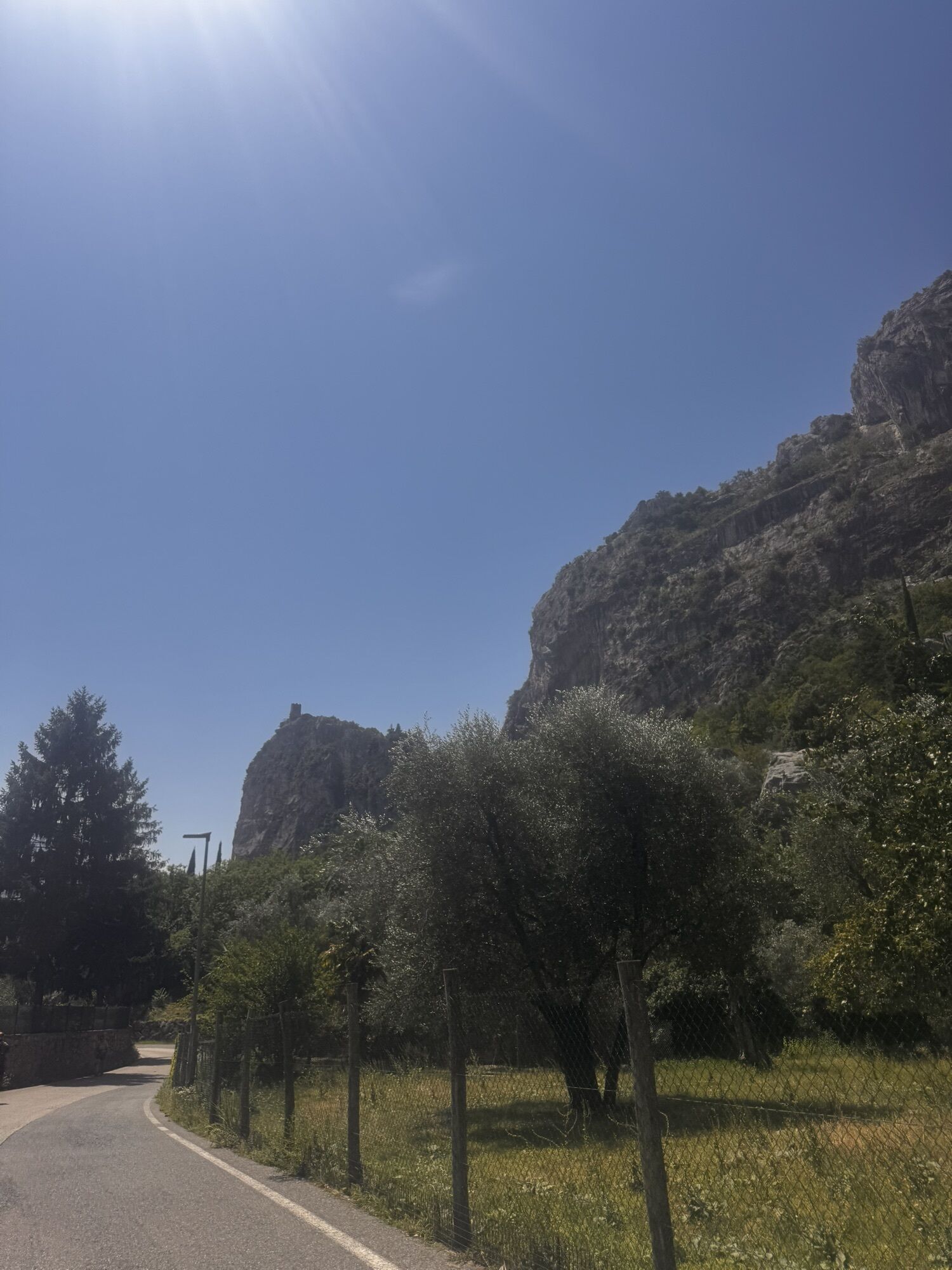
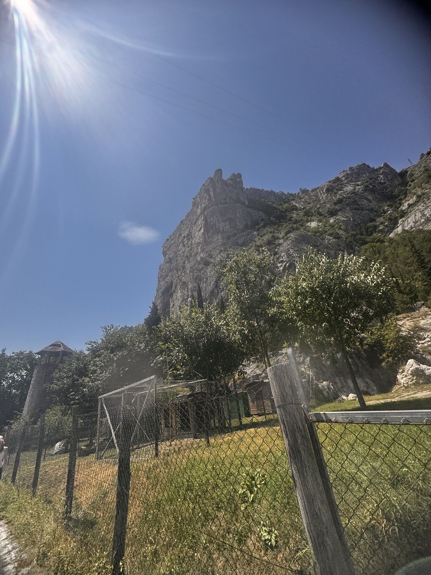
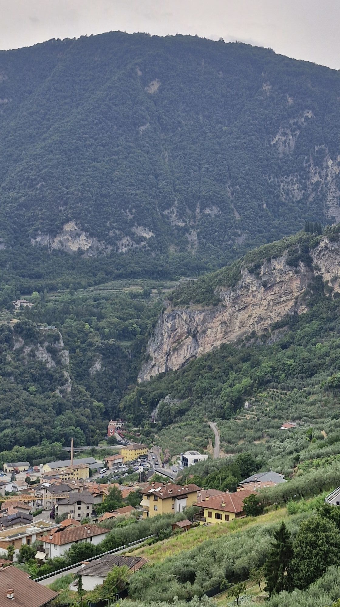
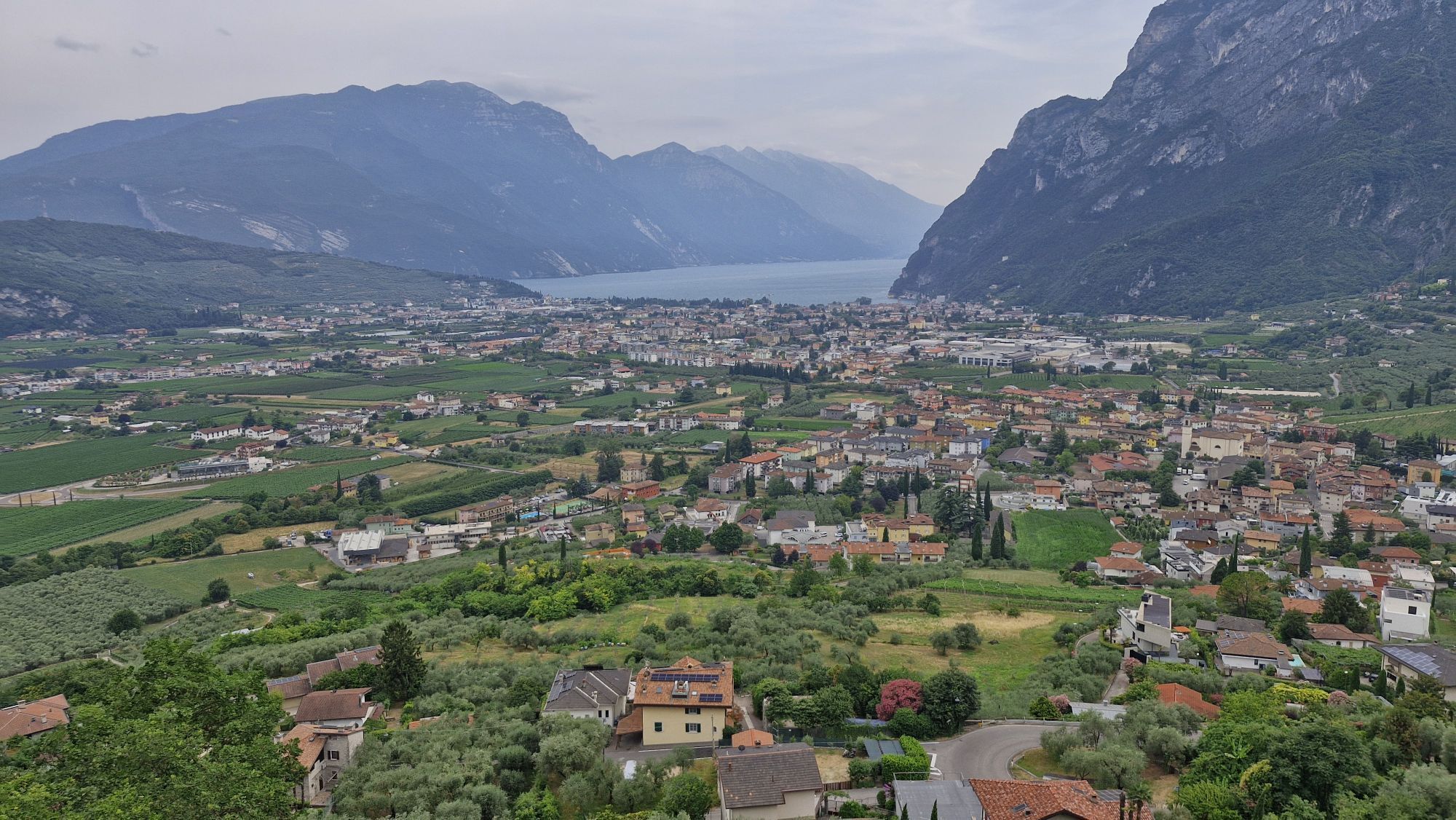
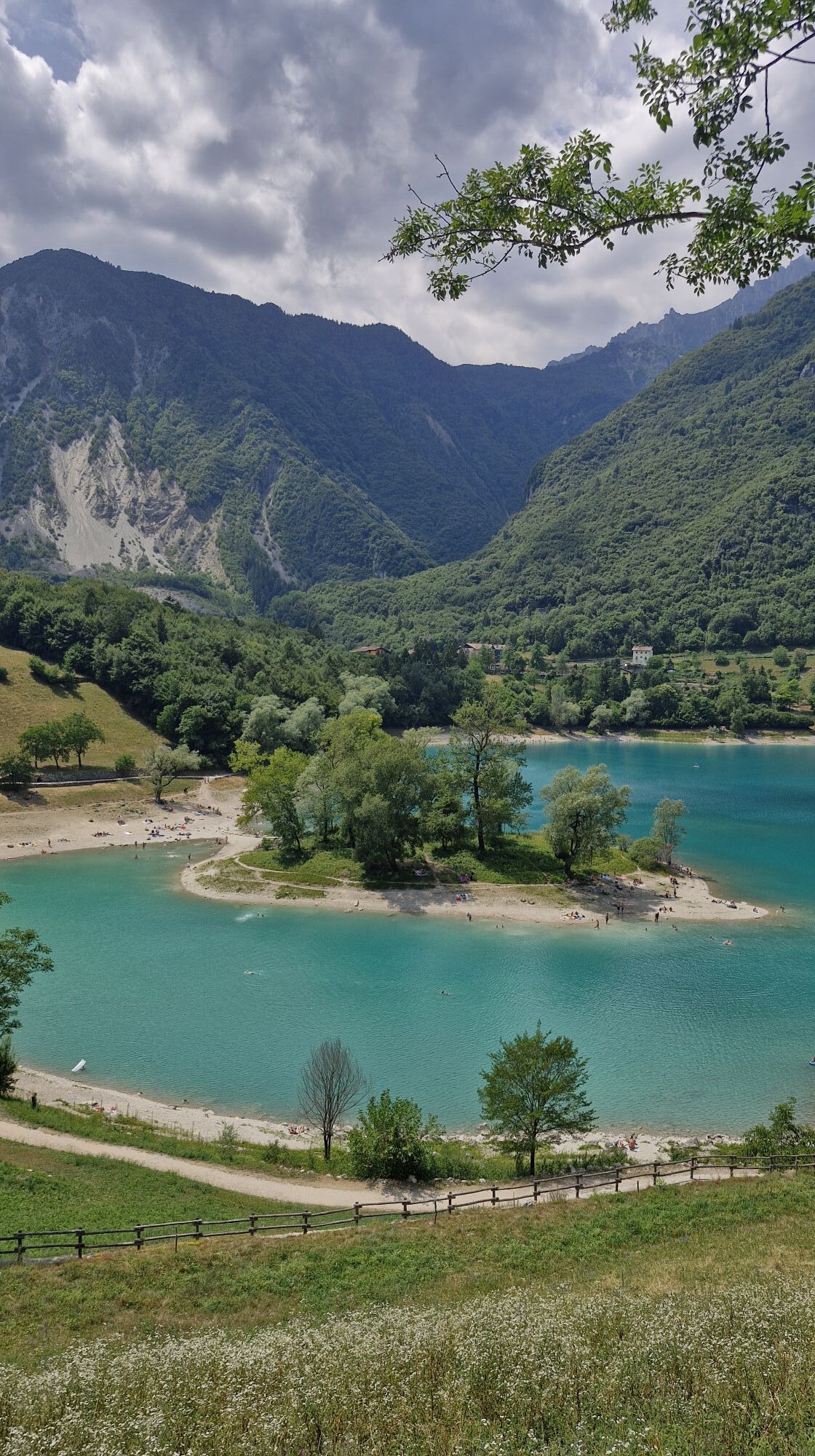
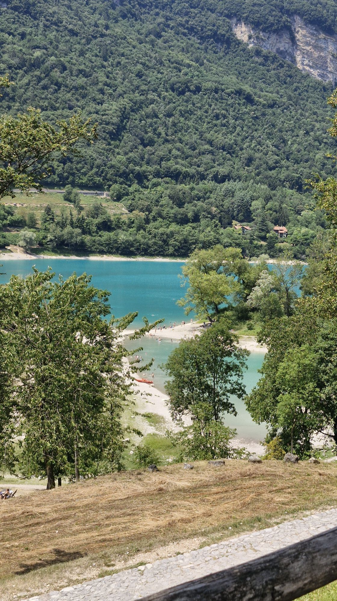
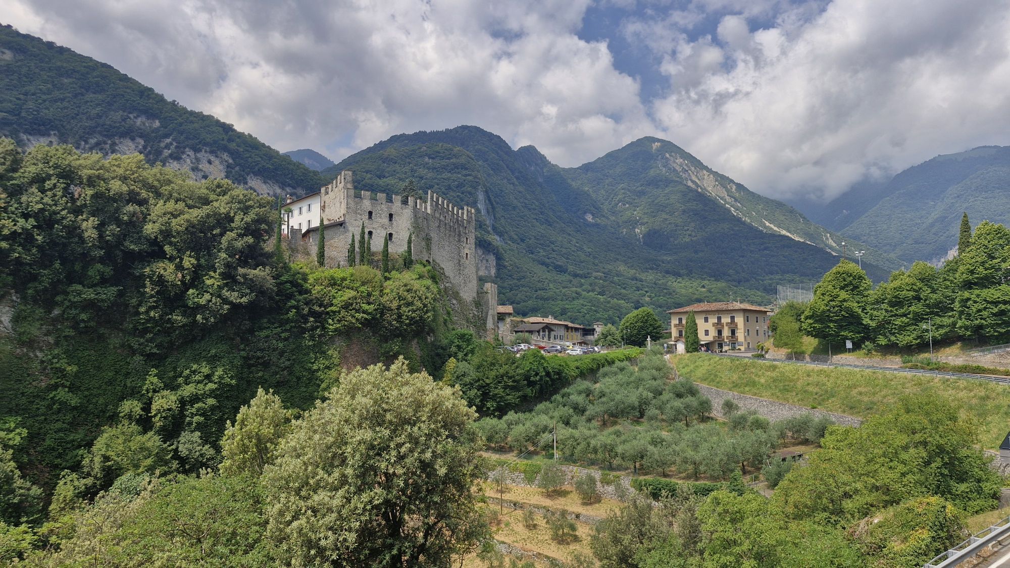
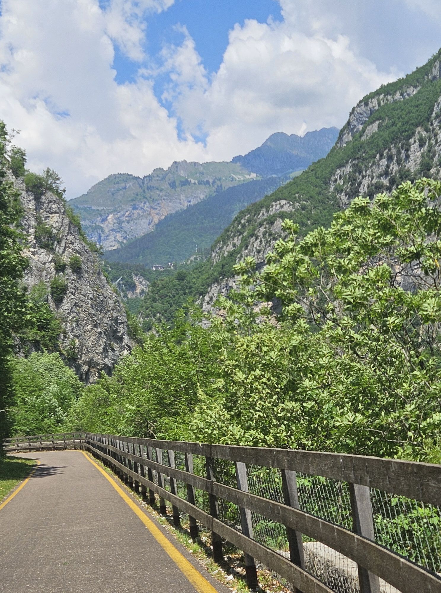
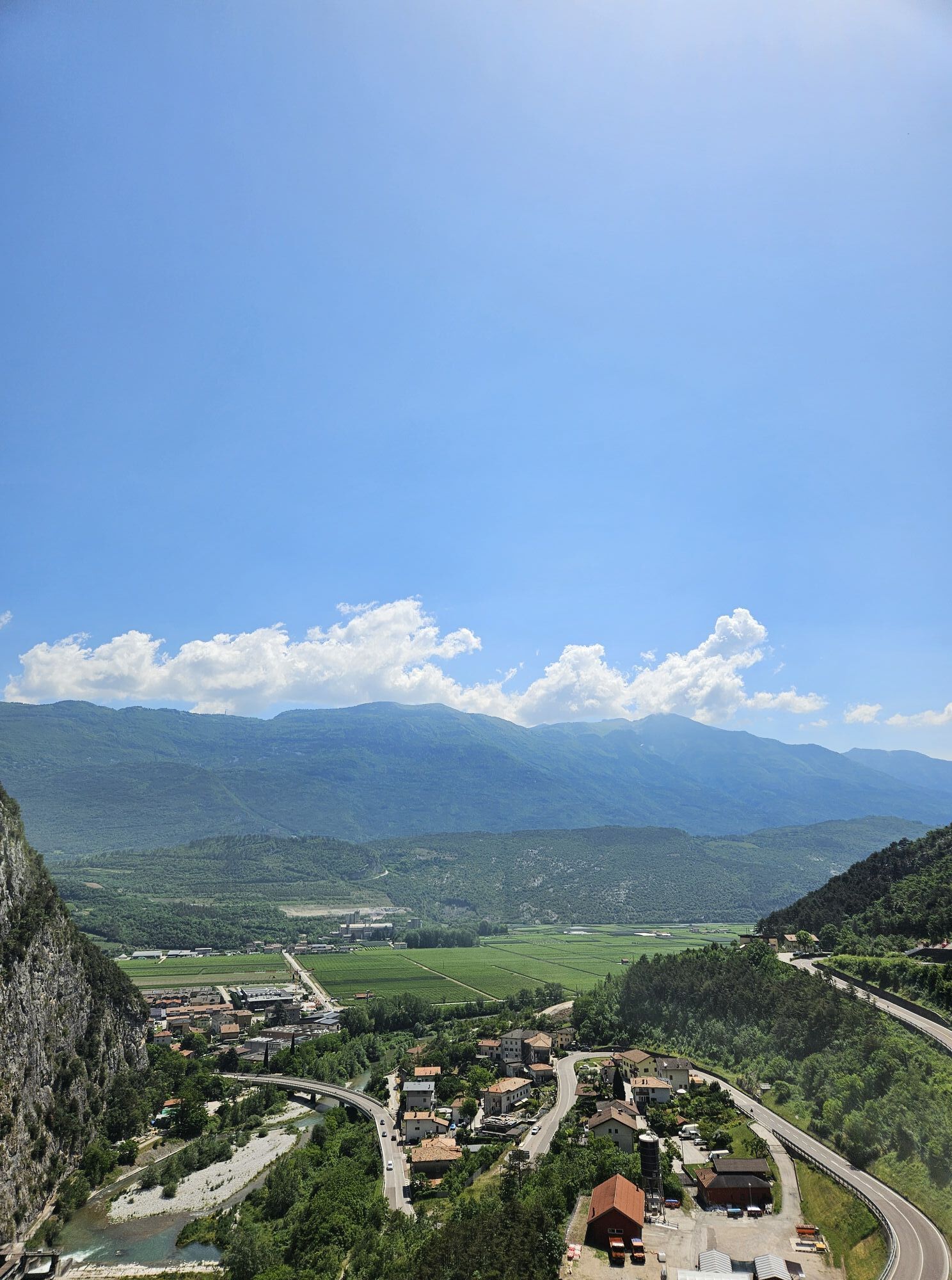
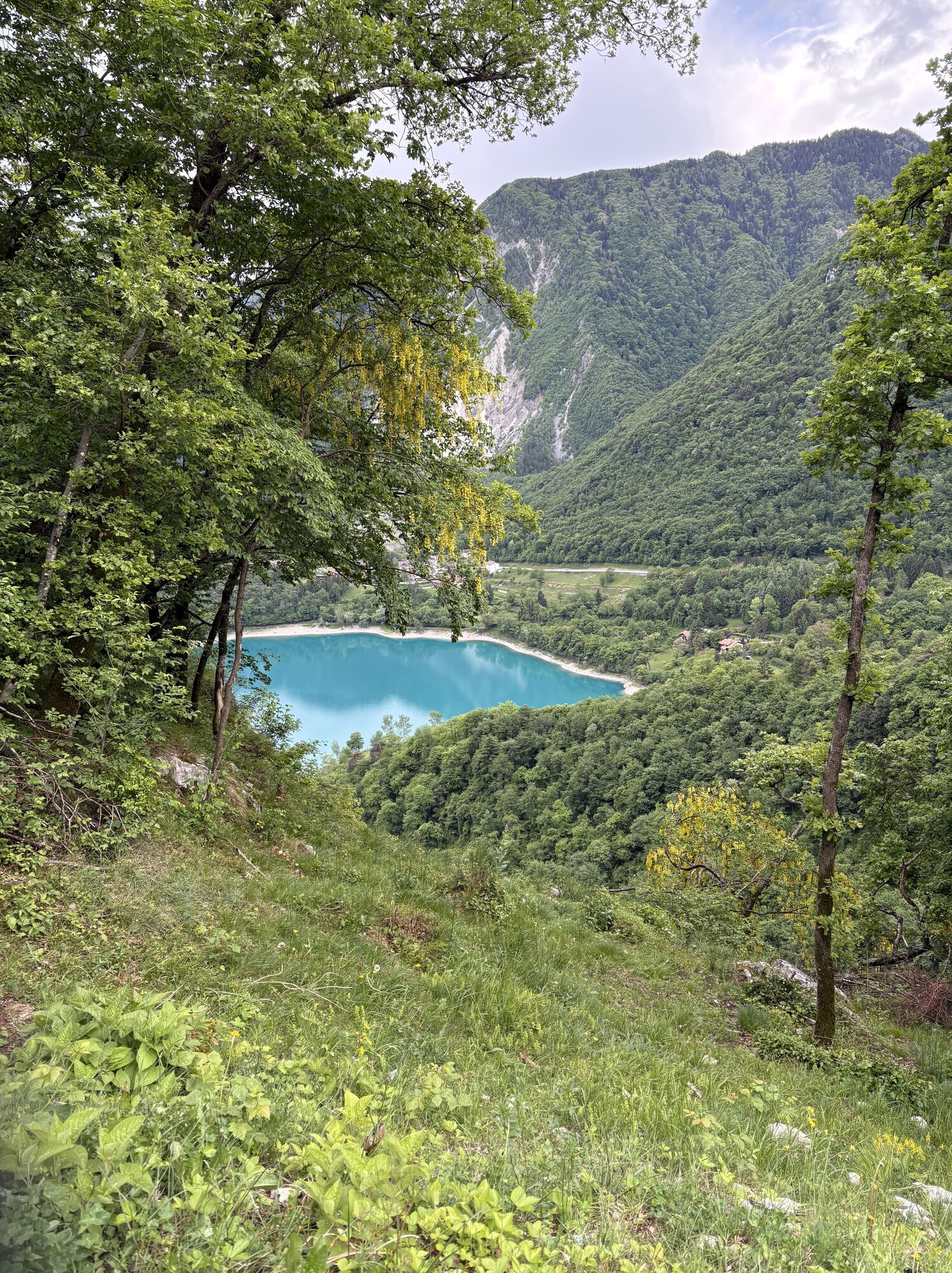
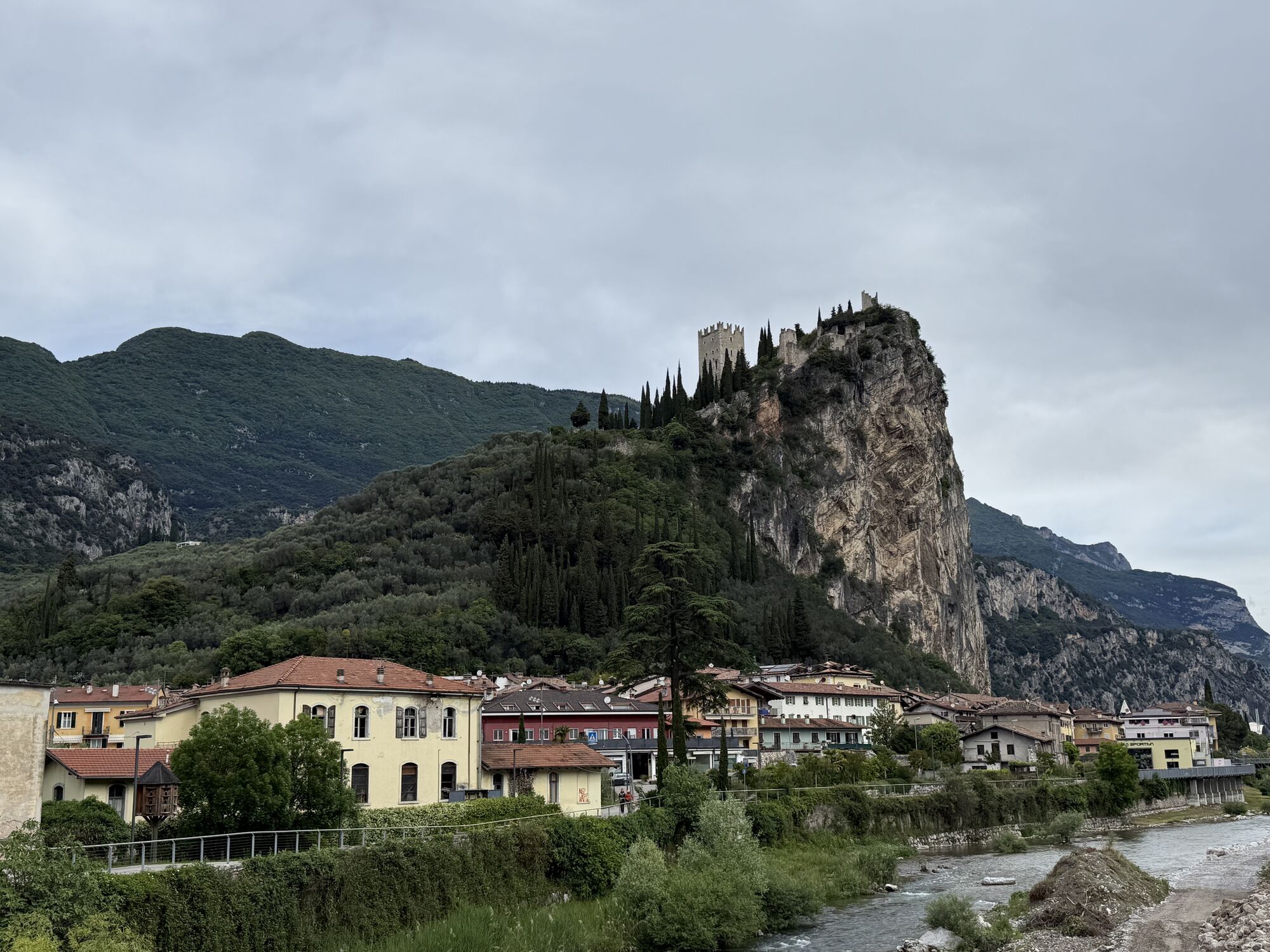
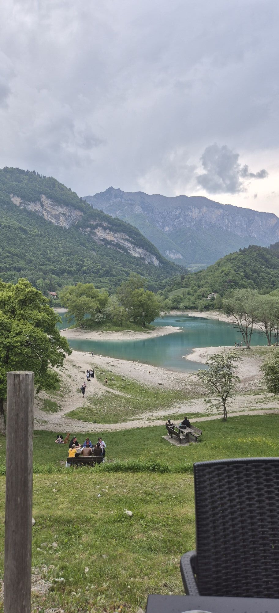
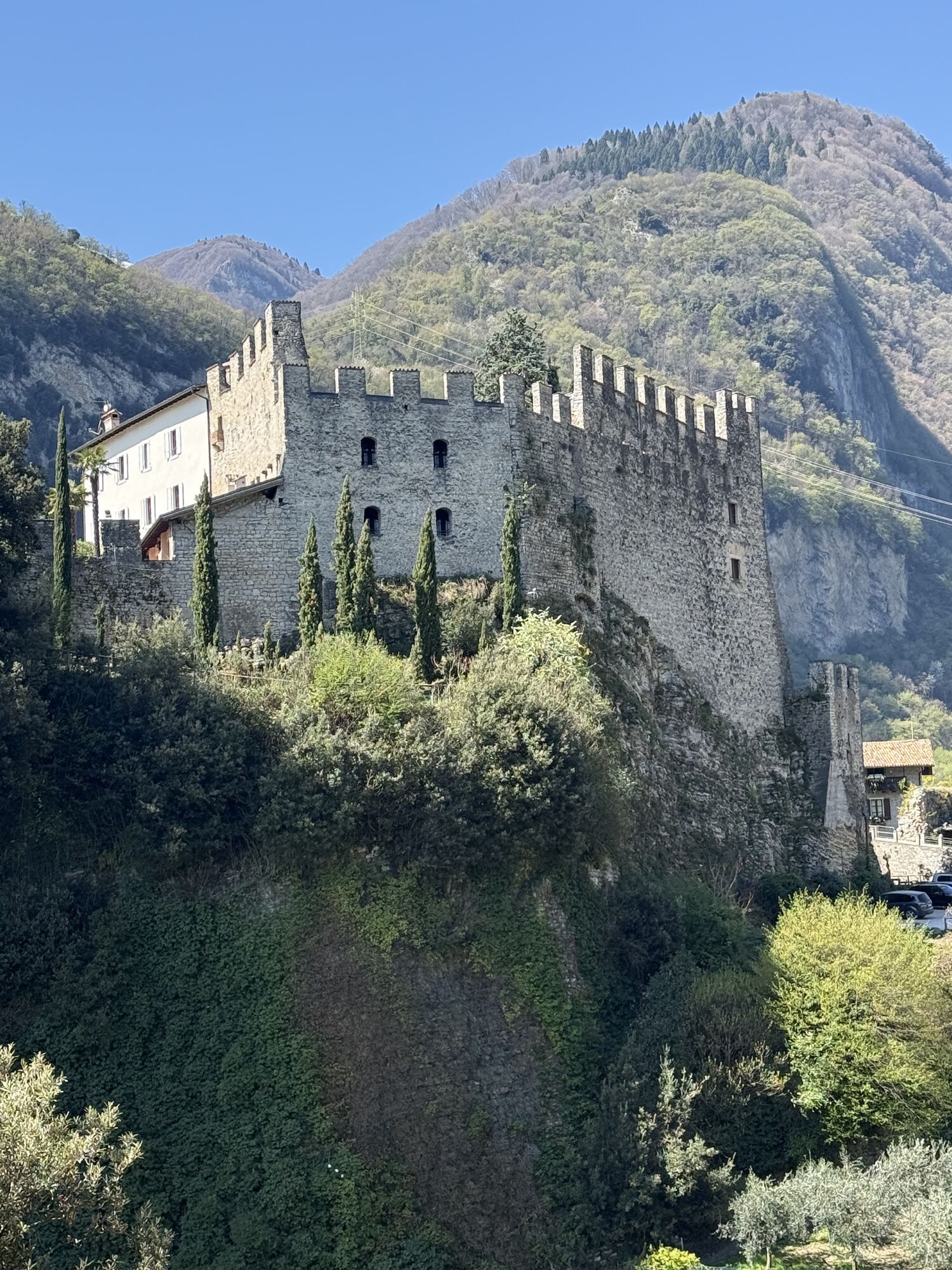
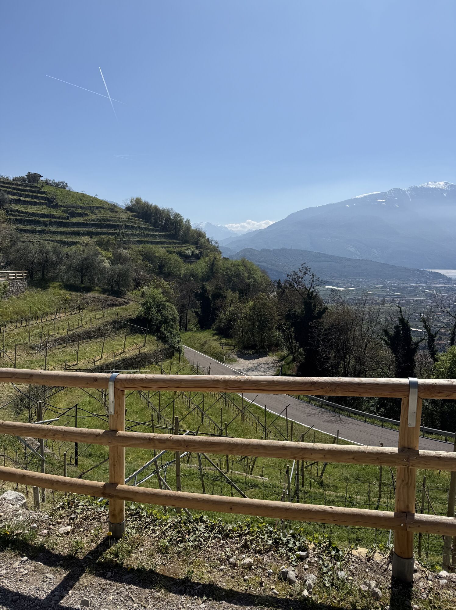
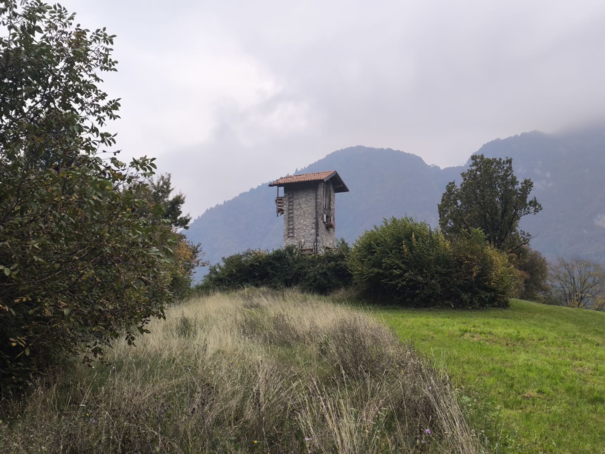
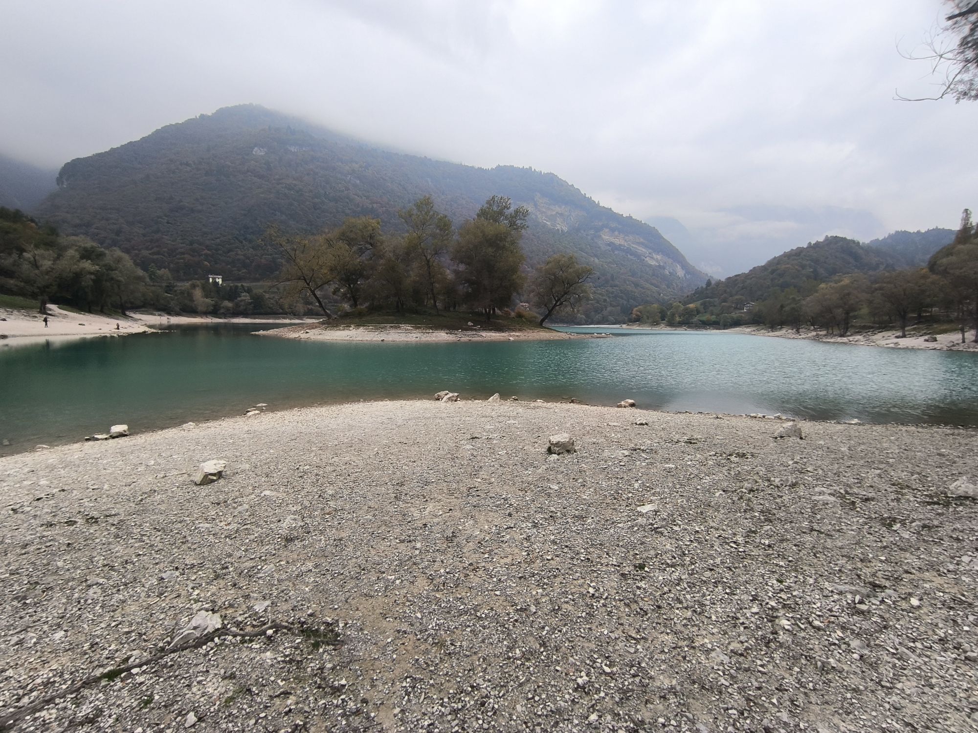
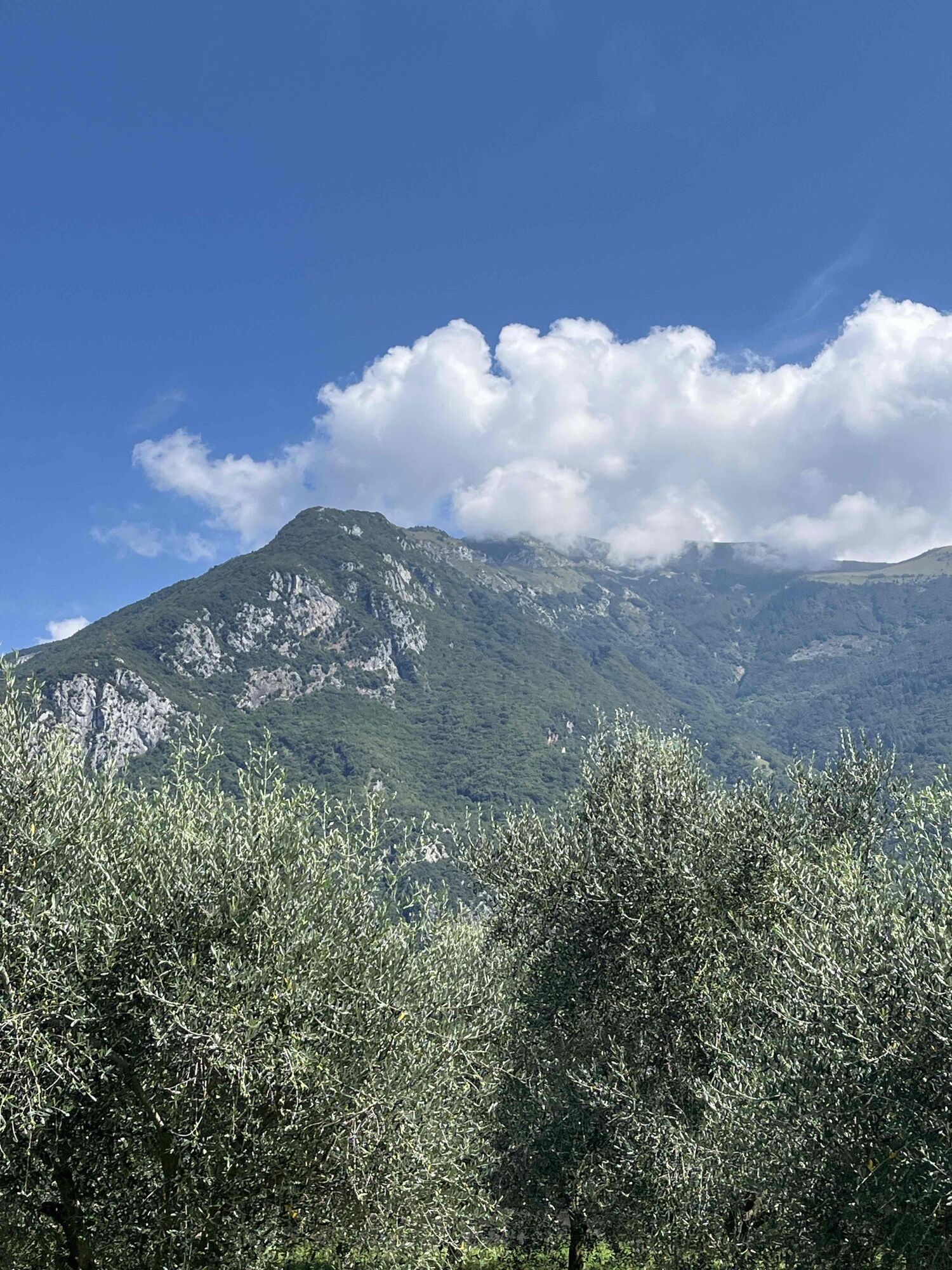
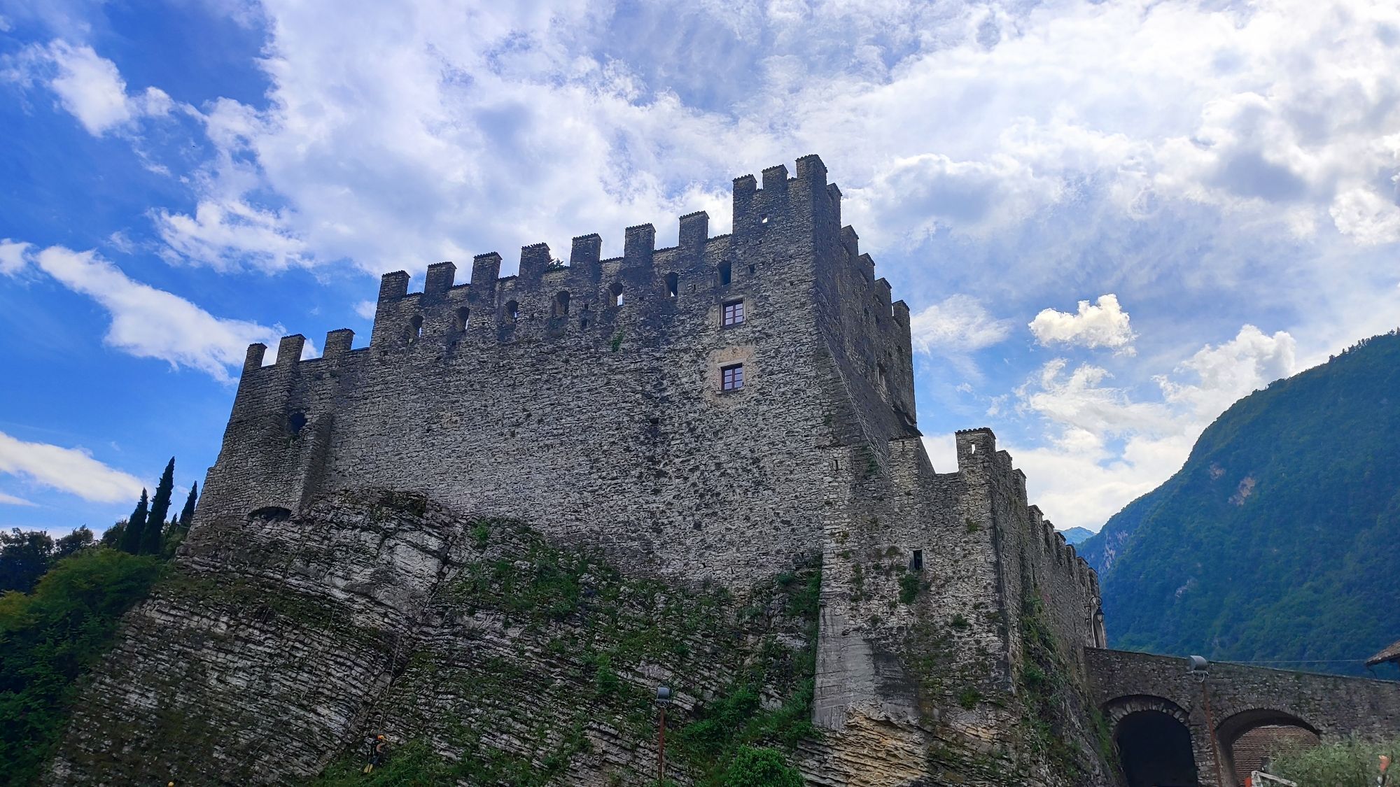
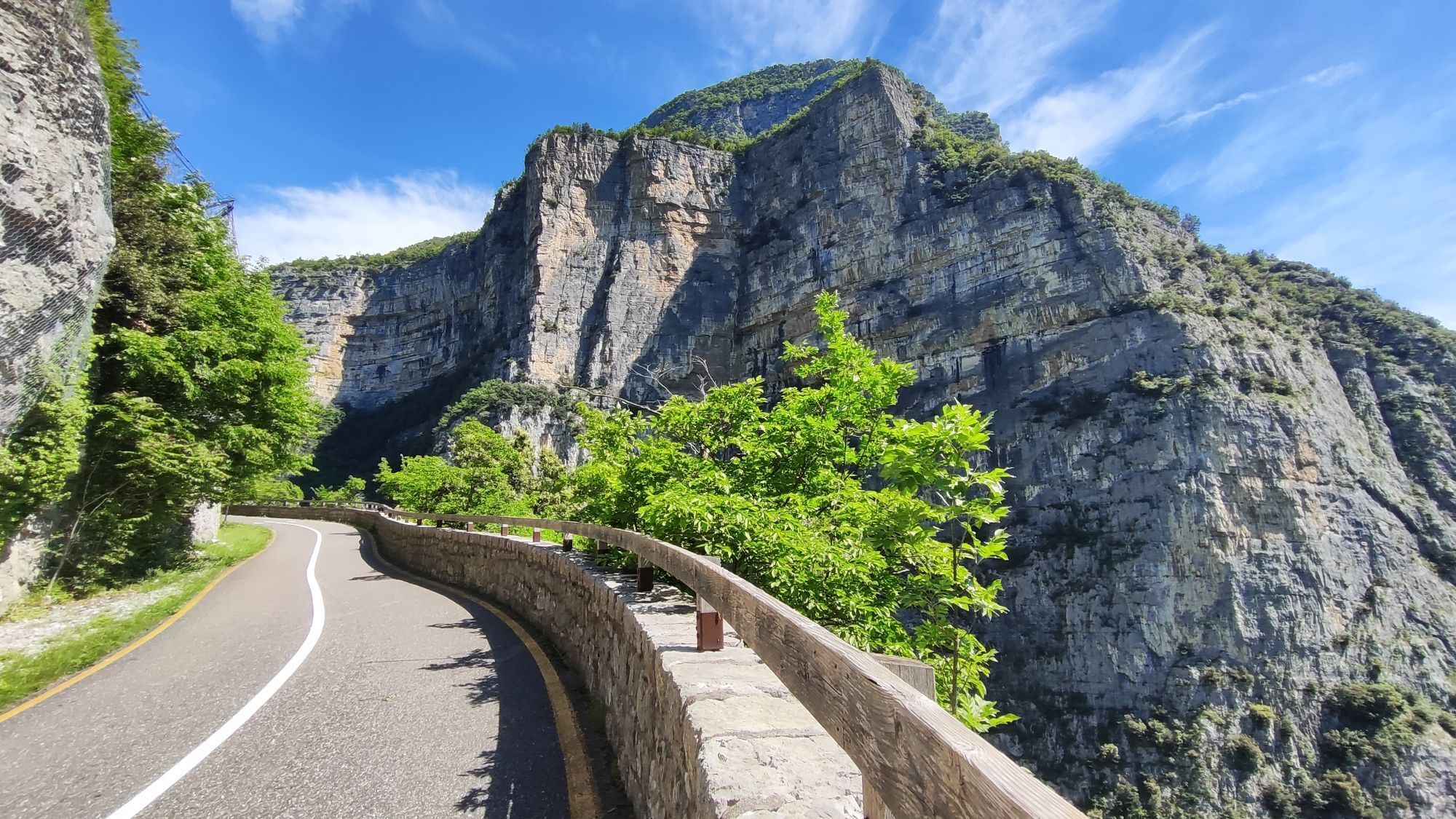
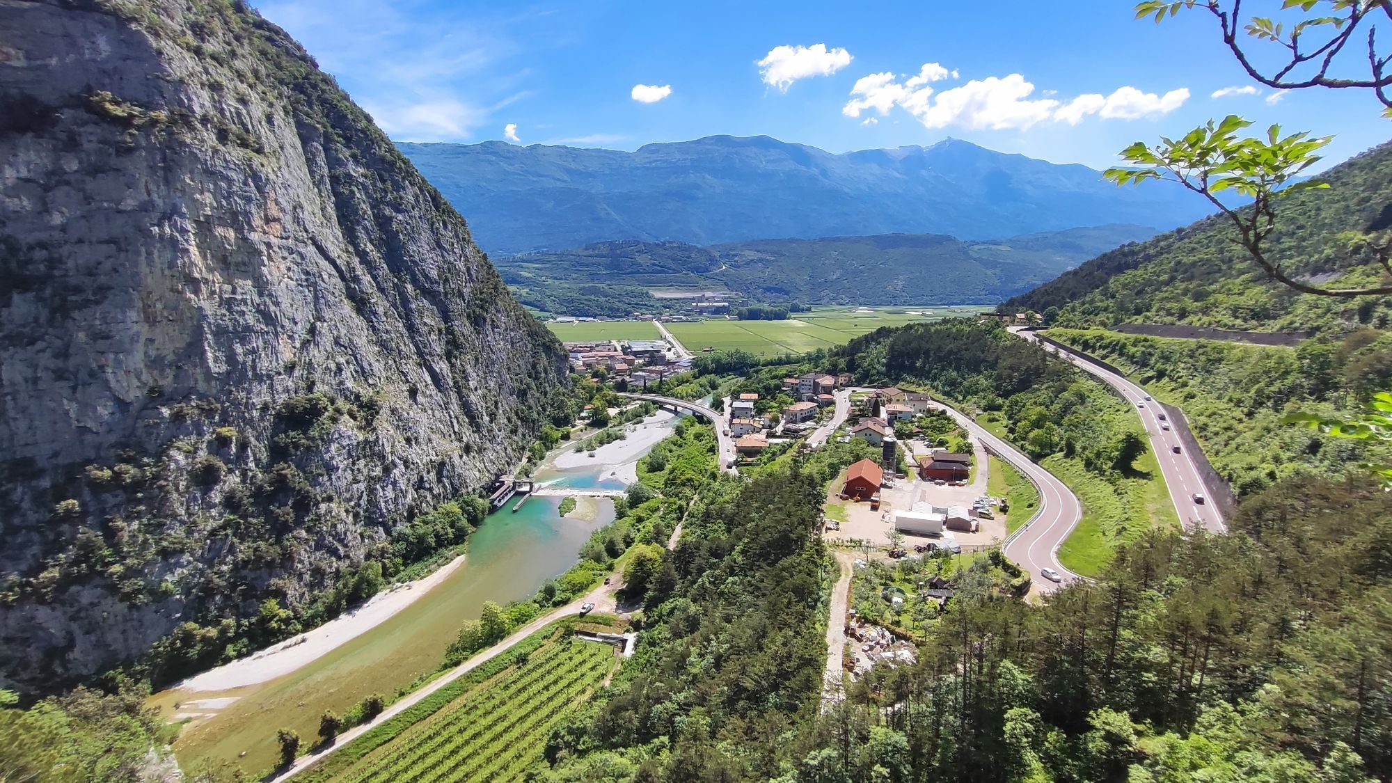
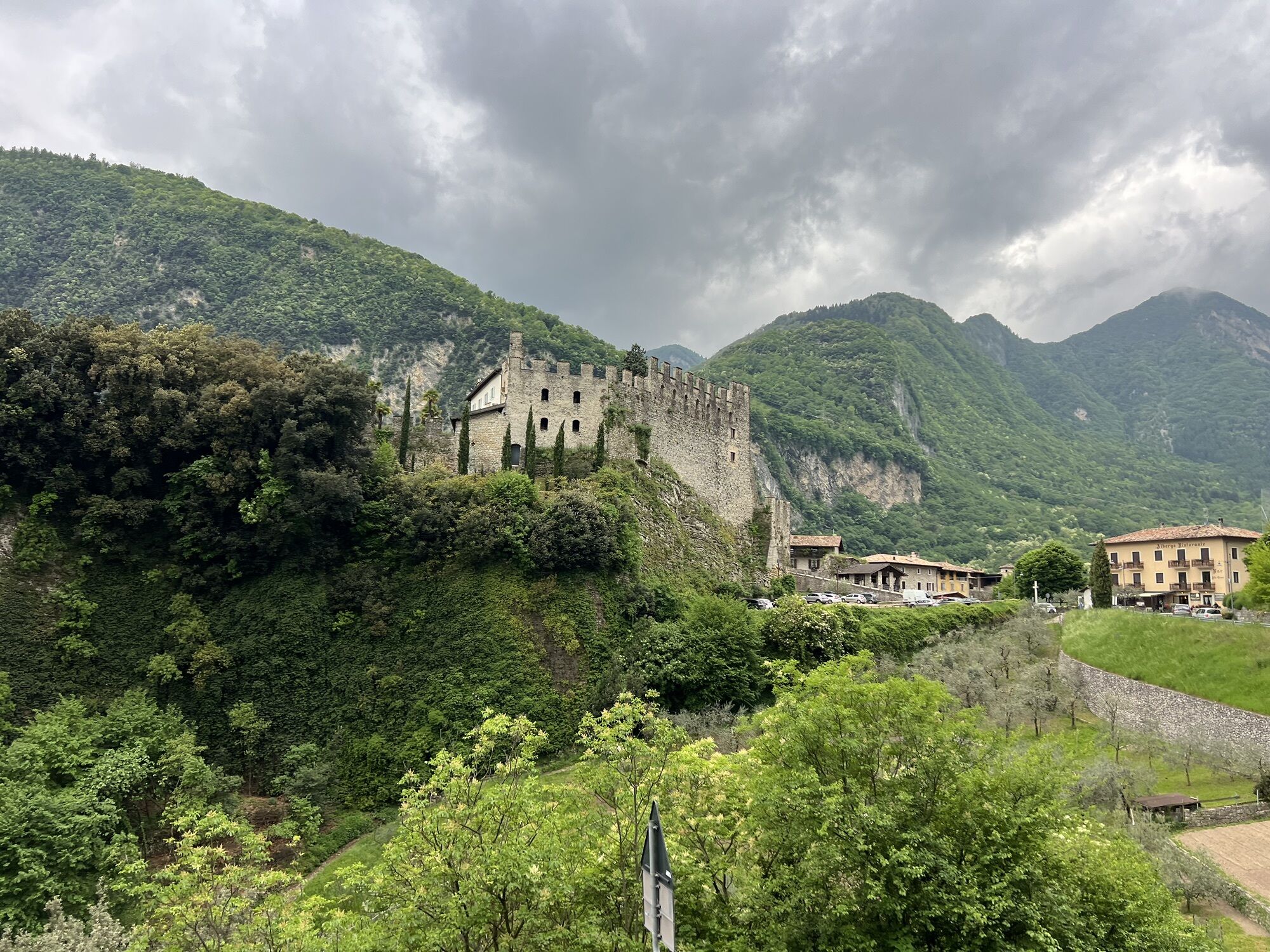
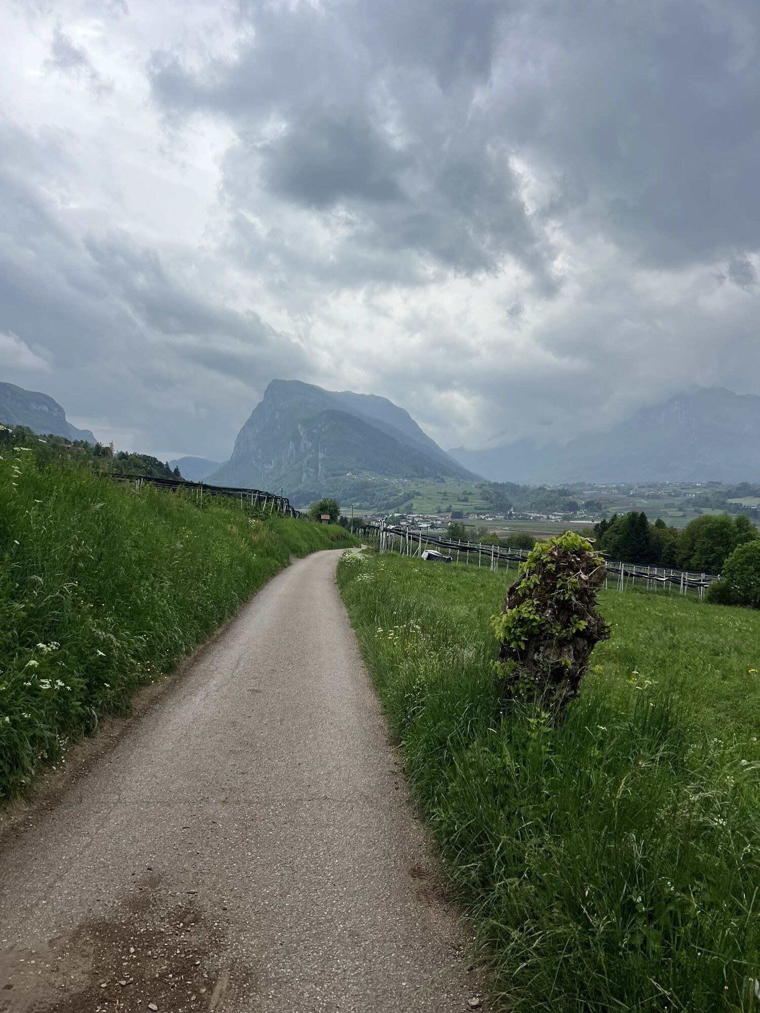
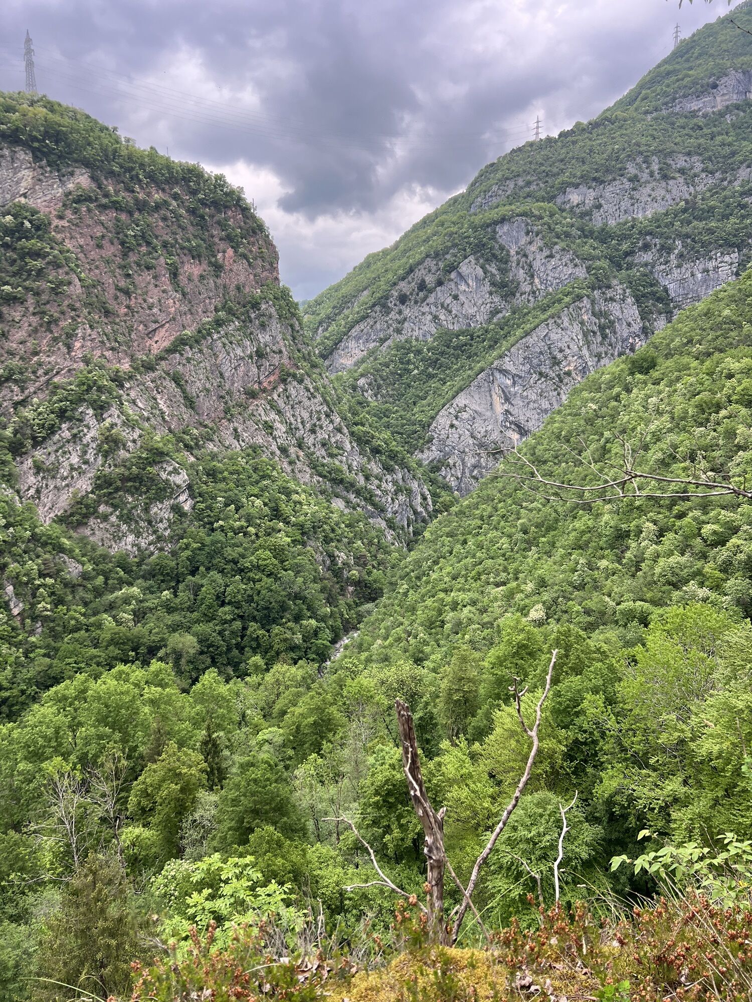
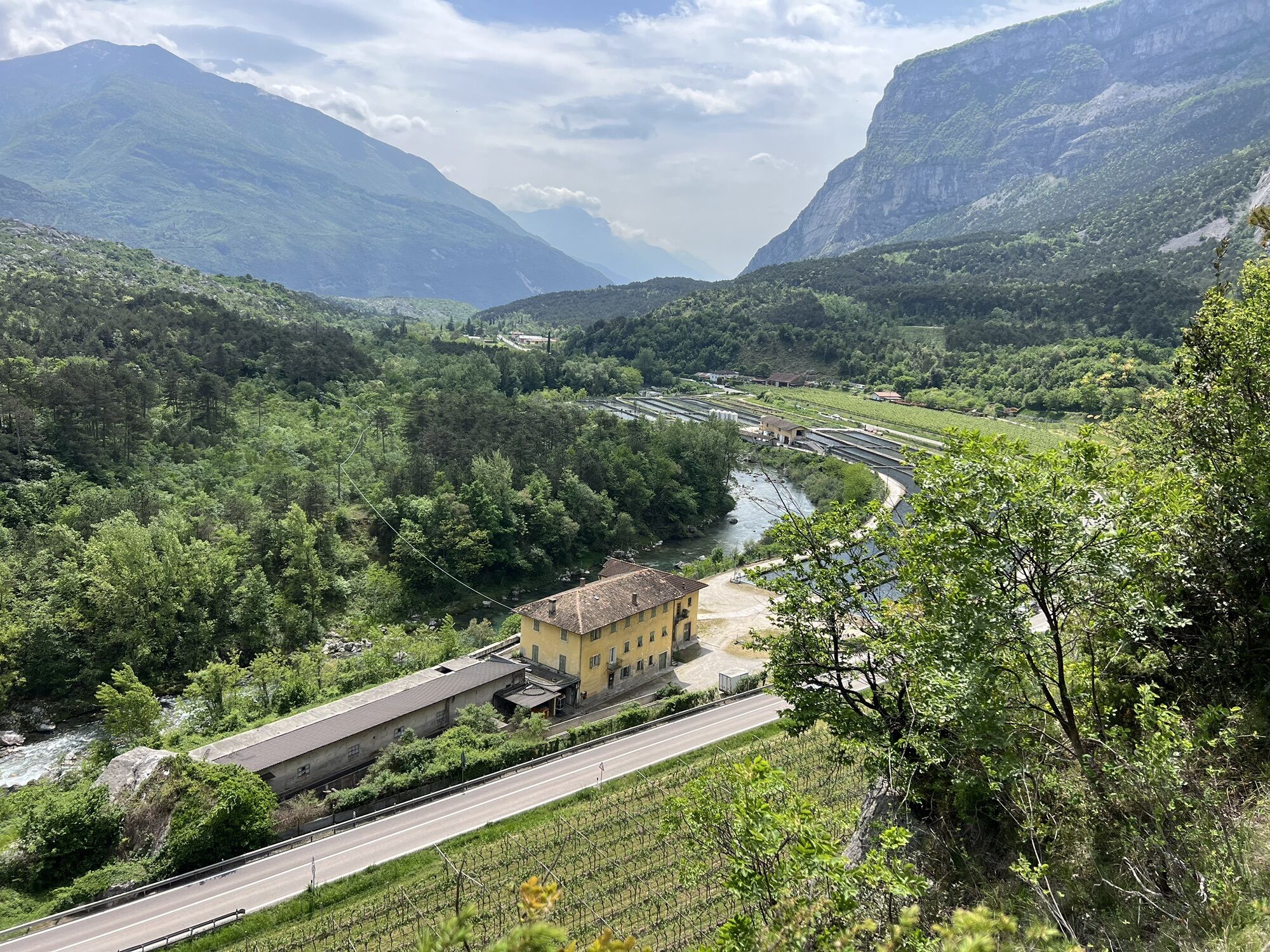
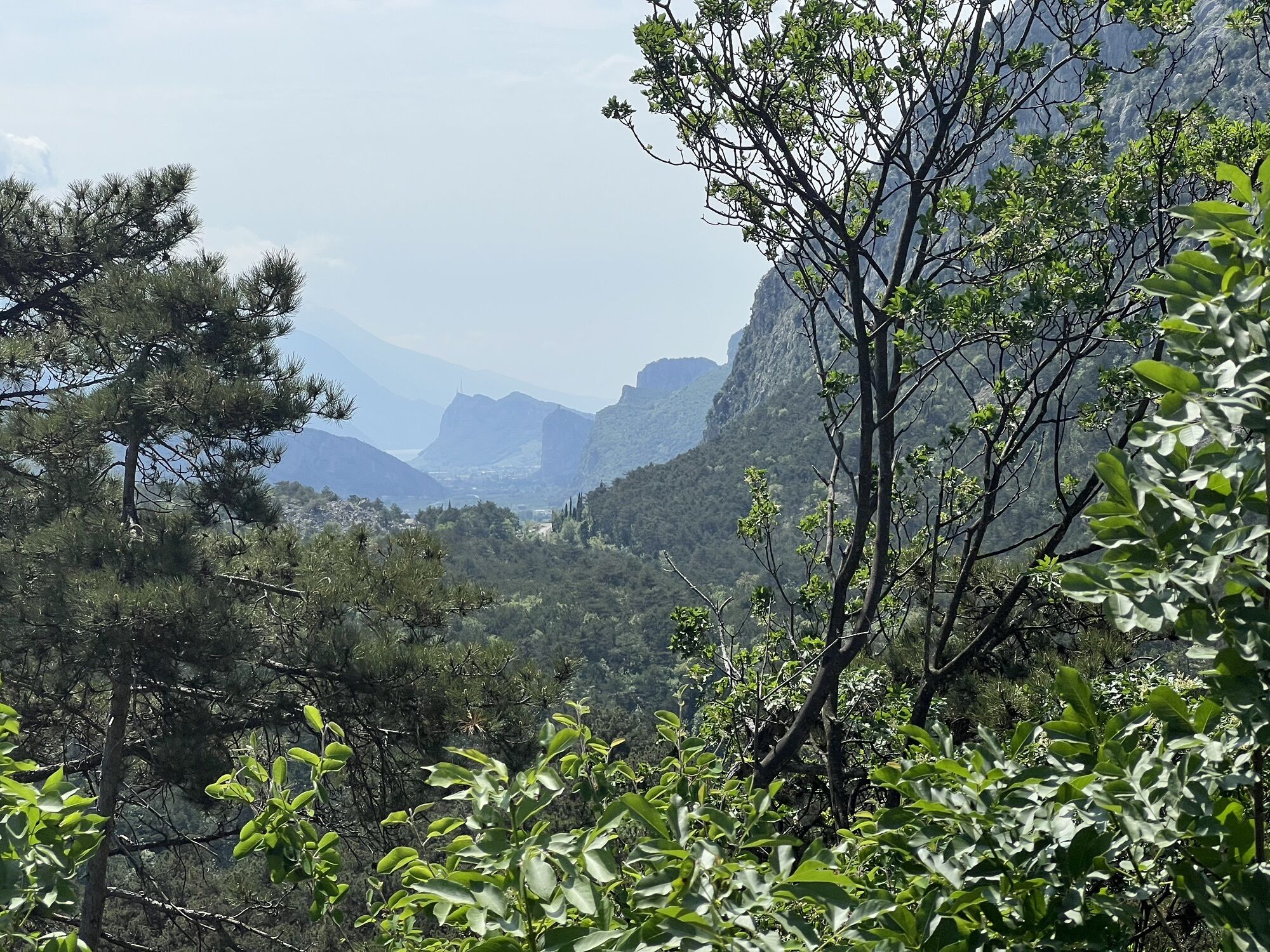
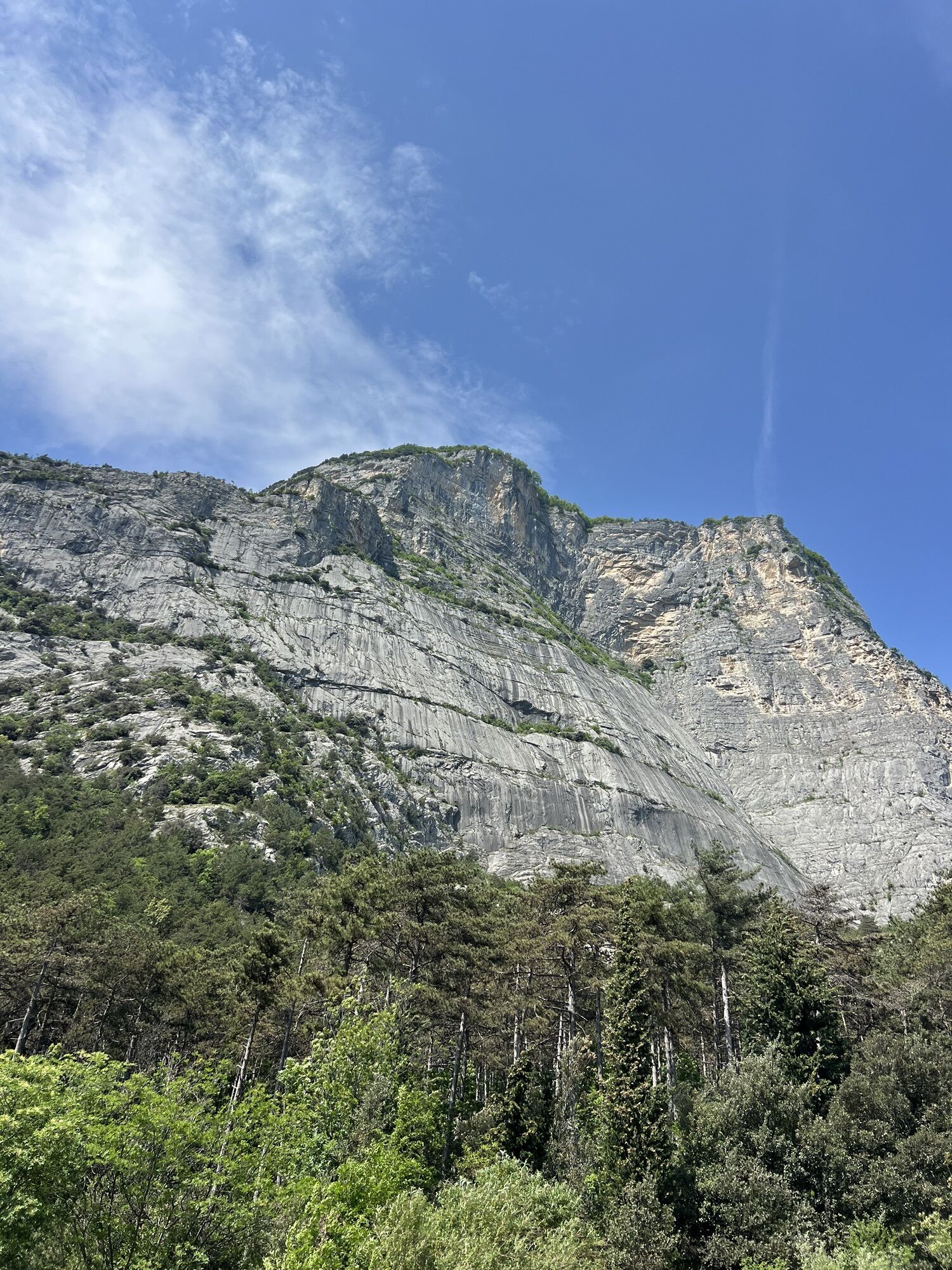
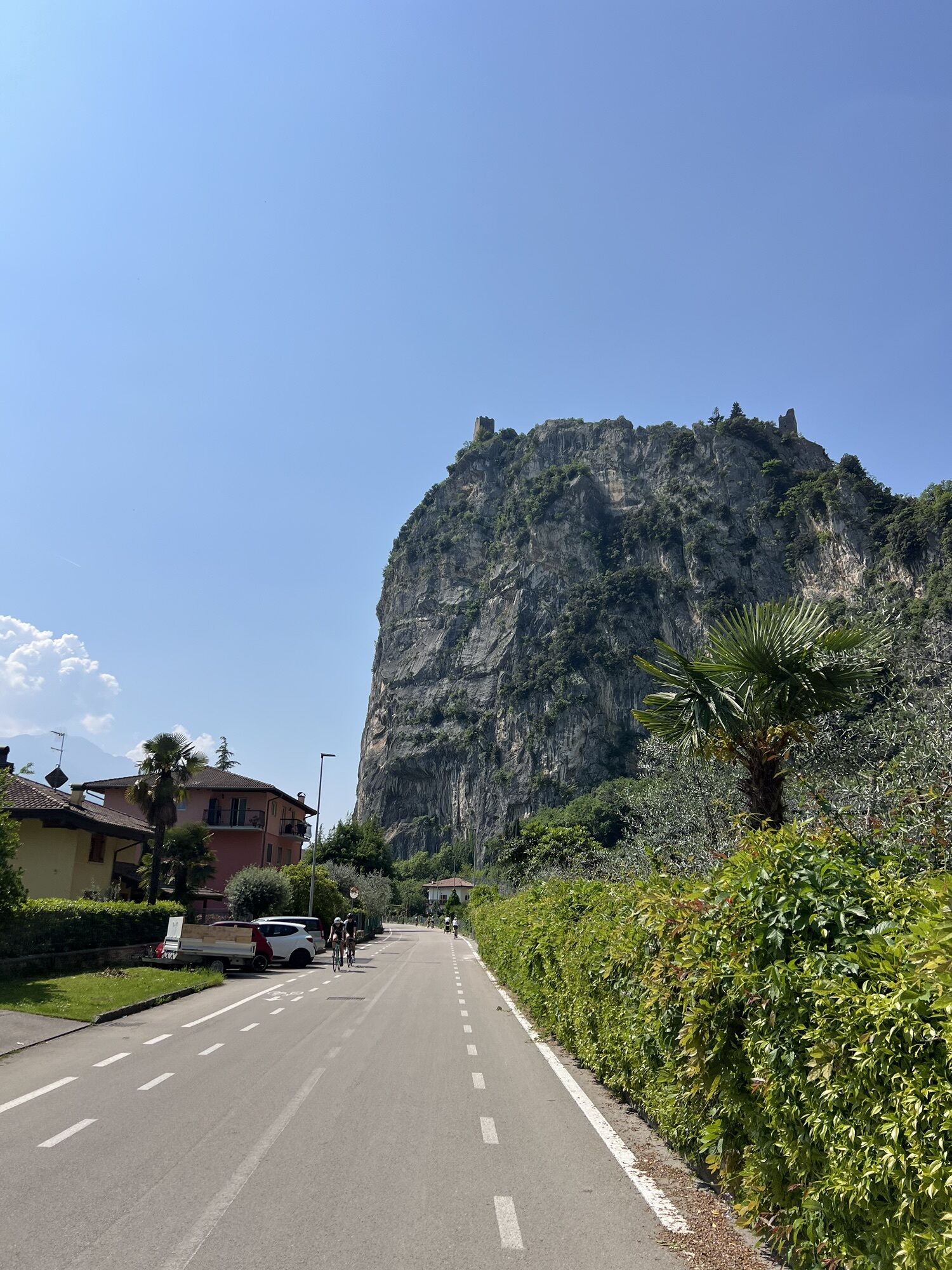
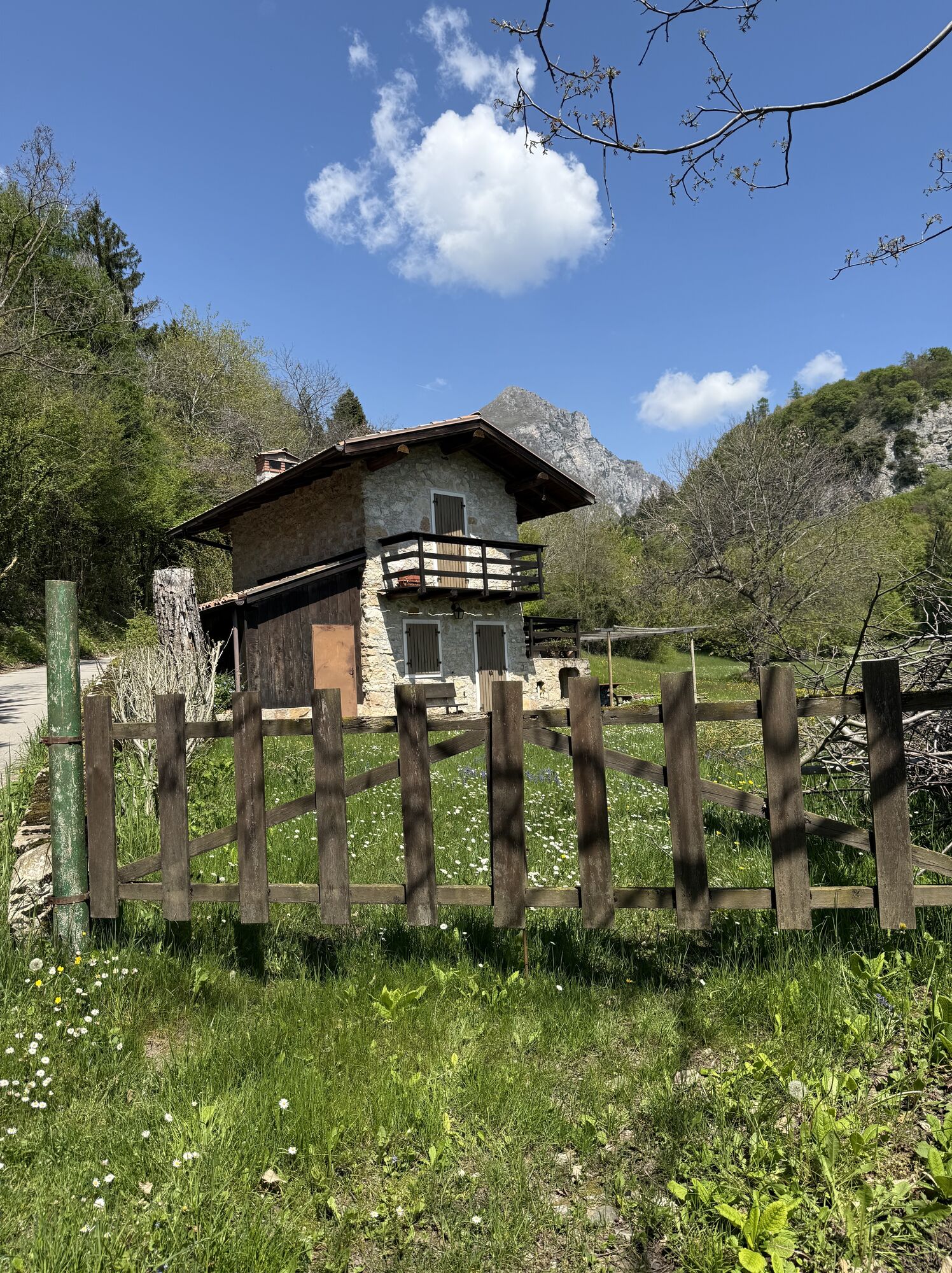
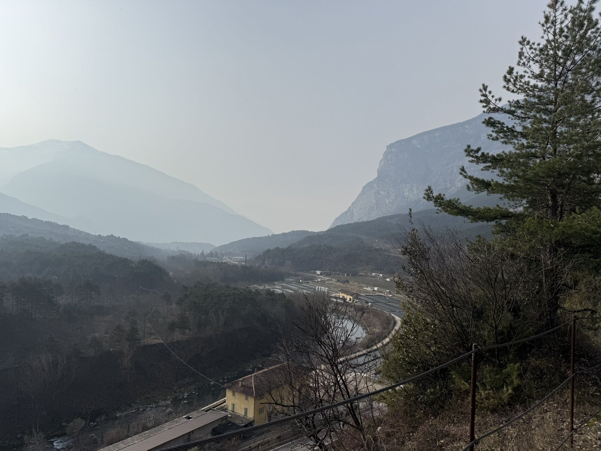
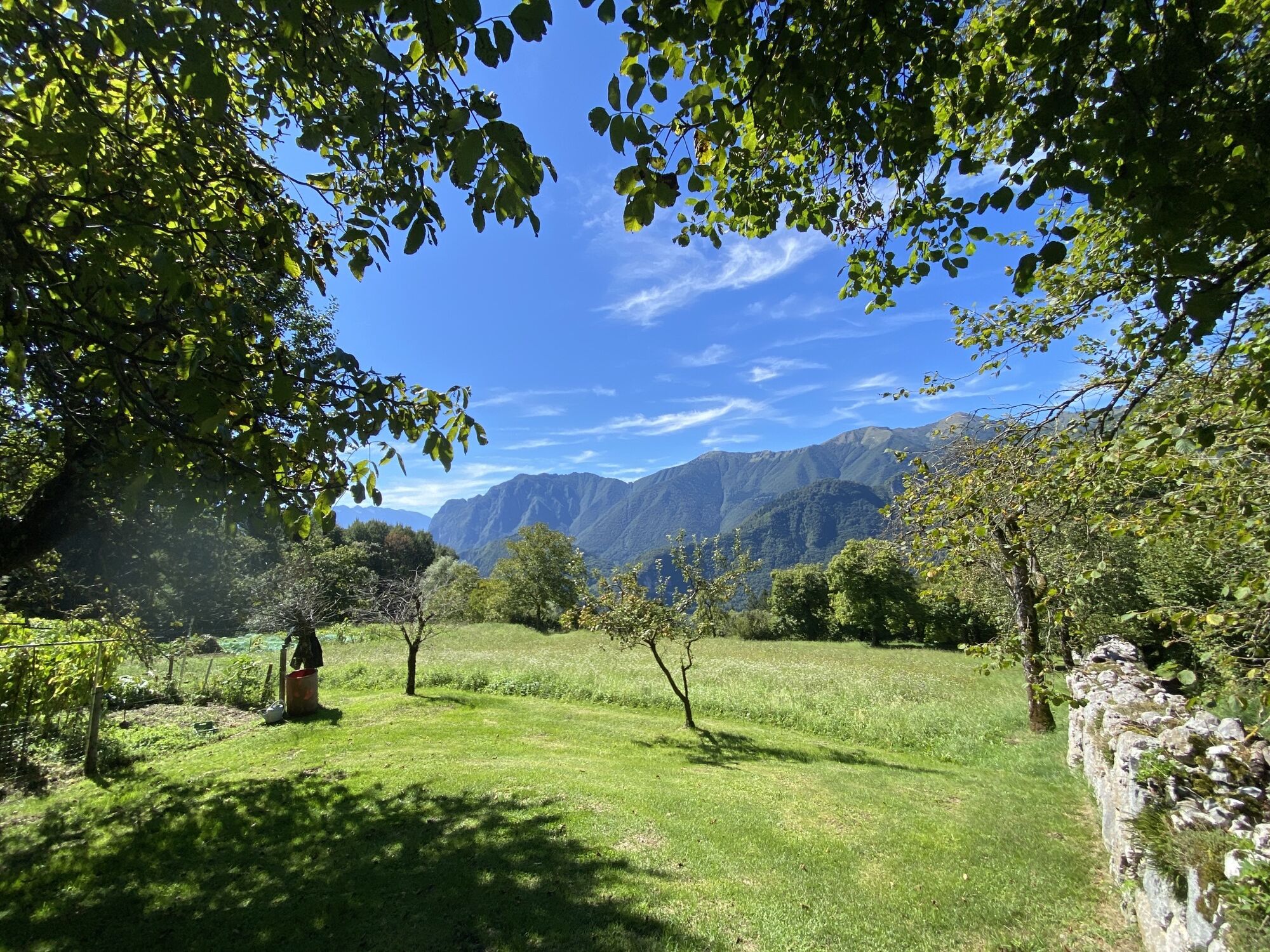
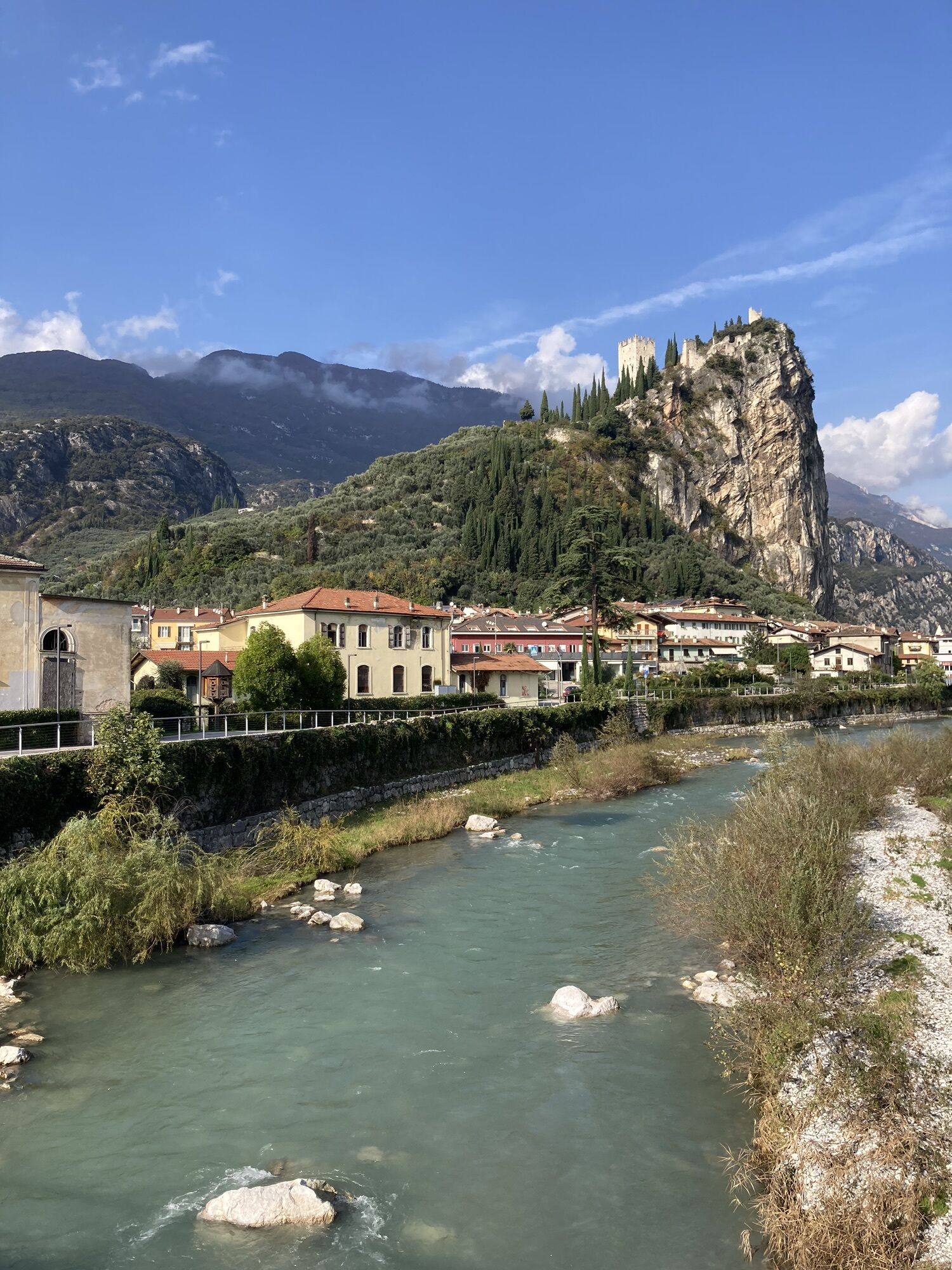
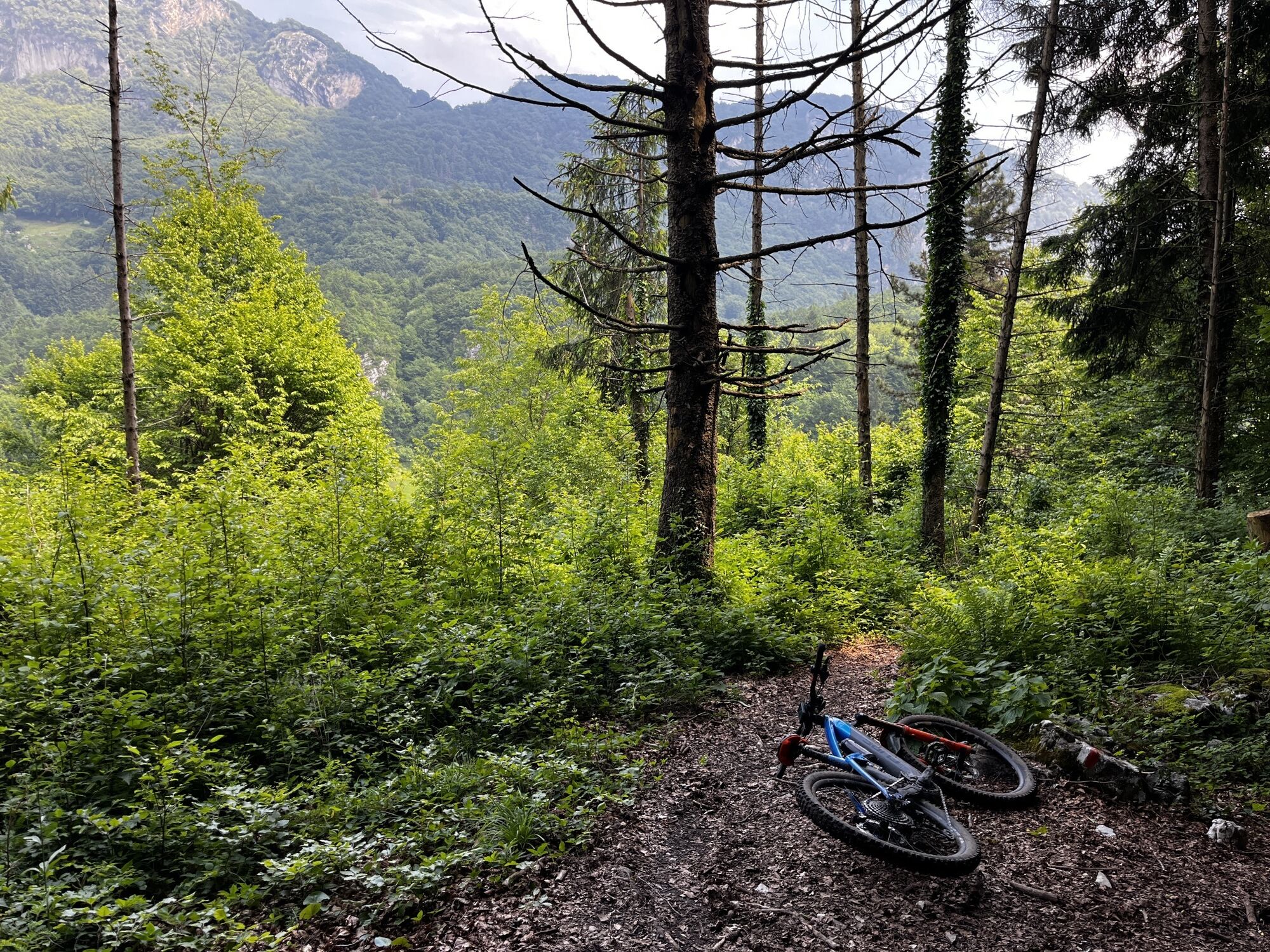
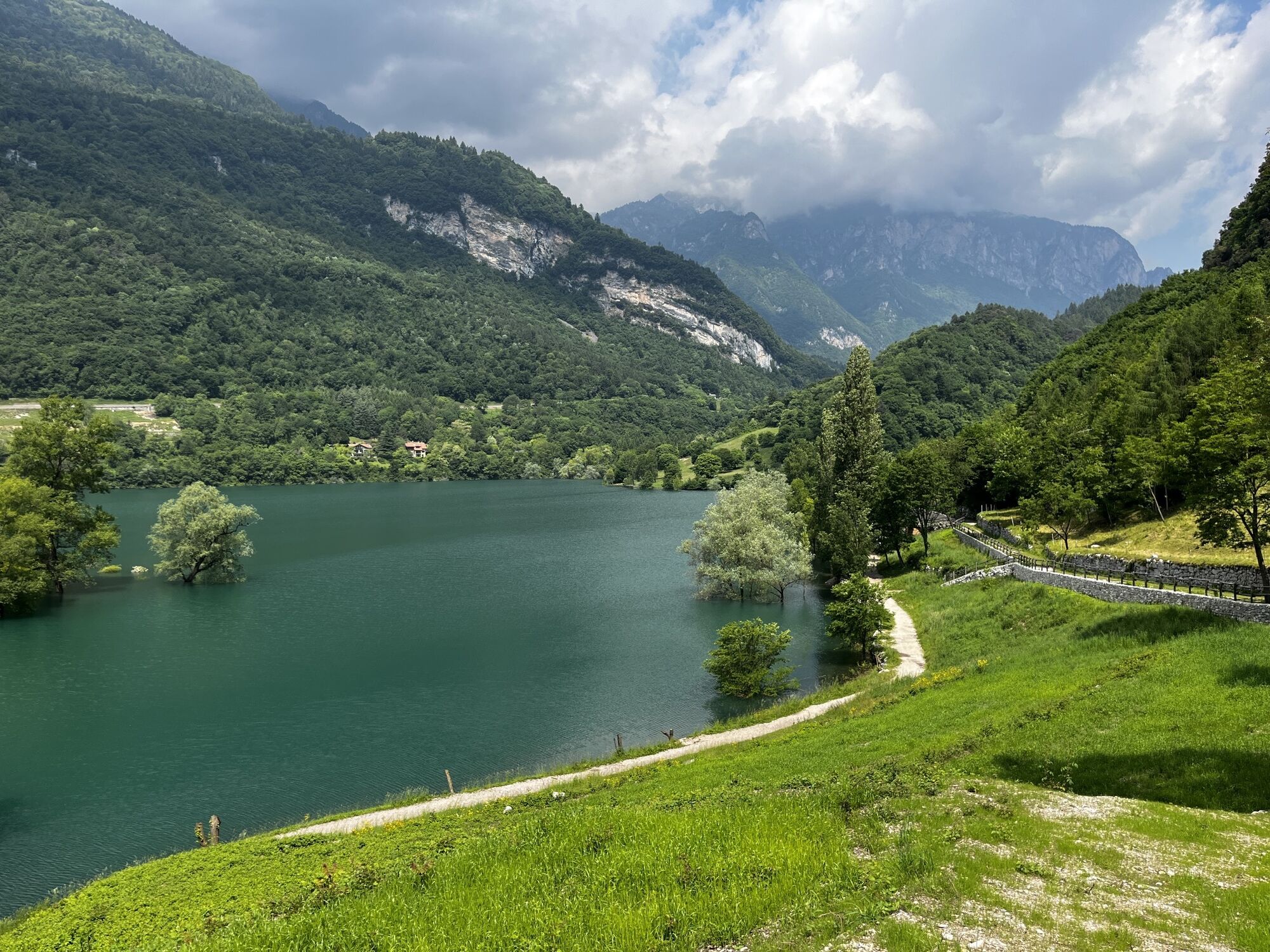
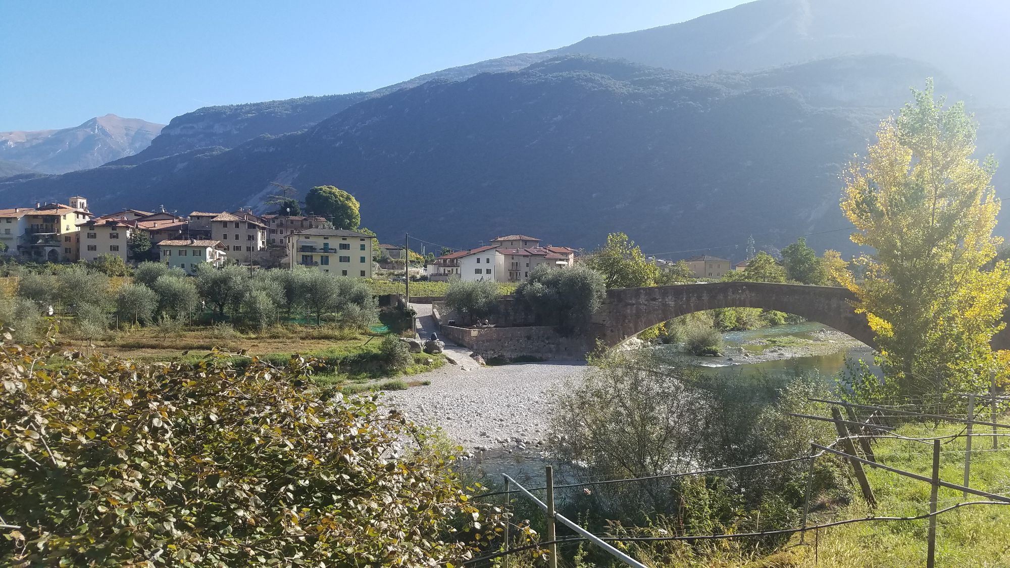
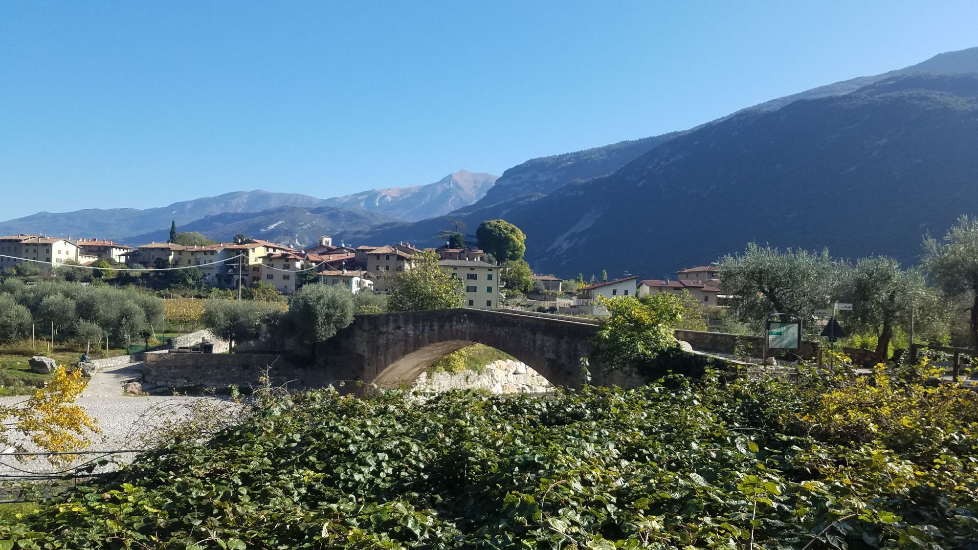
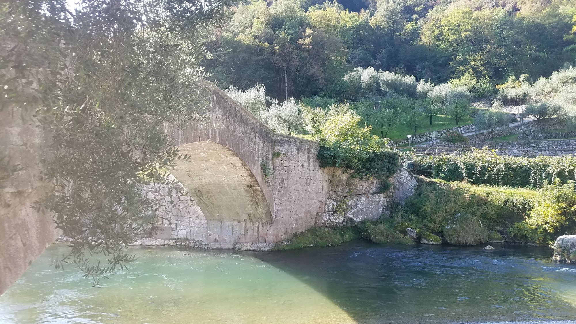
Long MTB routes often pose challenges and are suited only for experienced bikers. The Garda Dolomiti Tour is a delightful exception: spanning over 66 kilometres from the start in Riva del Garda, bikers face no technical trails, excessively long or steep ascents, nor any perilous drop-offs. This routetruly qualifies as a pleasure ride, winding through numerous scenic highlights ofthe region. Lake Tenno, the picturesque Val Lomasona, the pastoral landscapes of Comano, the bizarre rock formations of Forra del Limarò, and the diversevistas along the Valle del Sarca back to the starting point make this circuit anunforgettable experience.

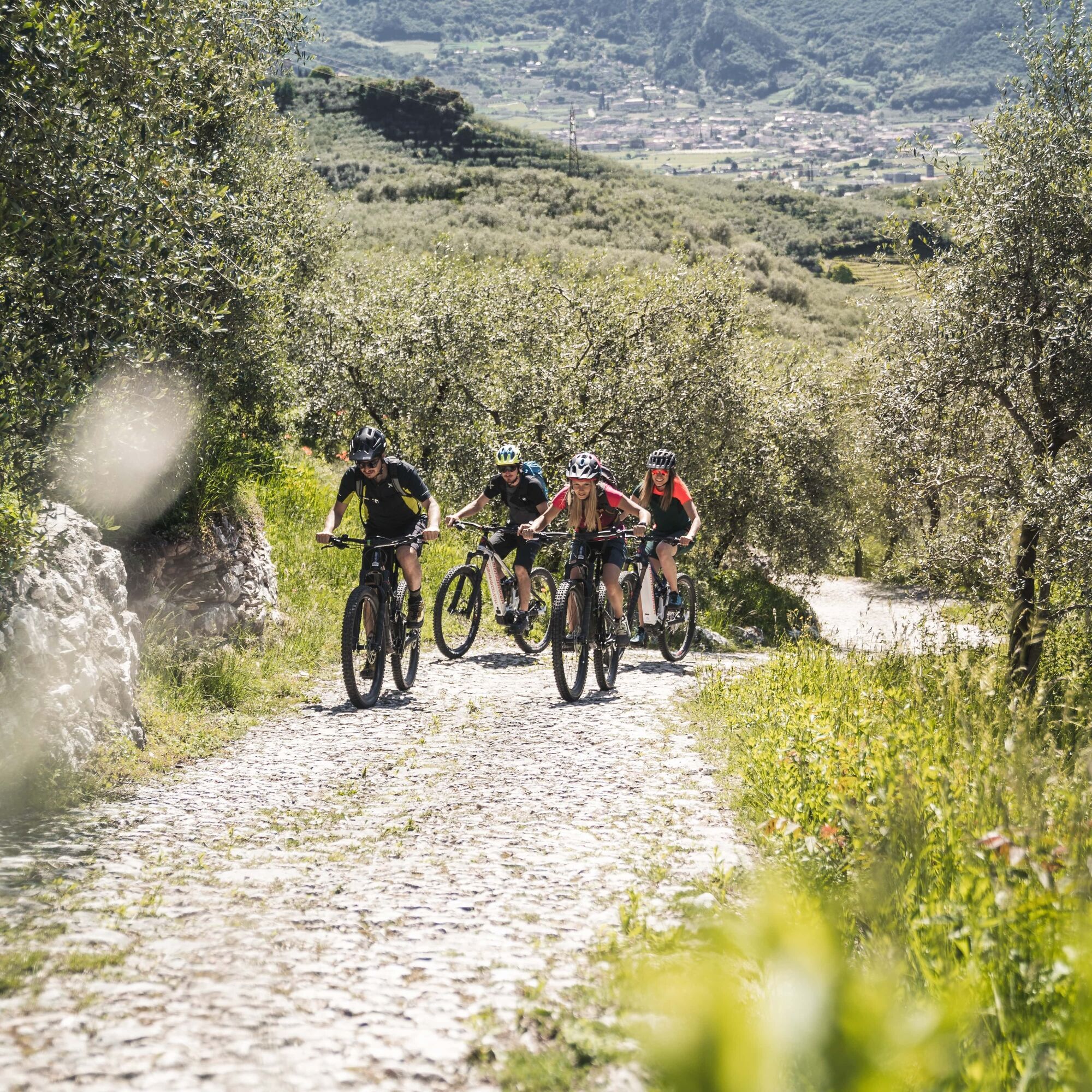
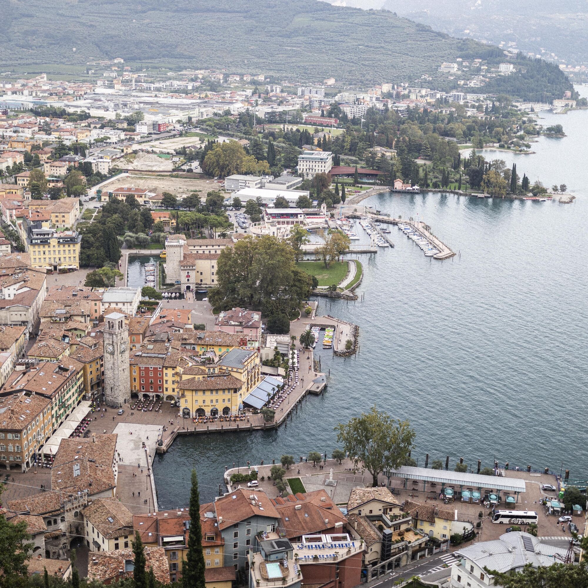
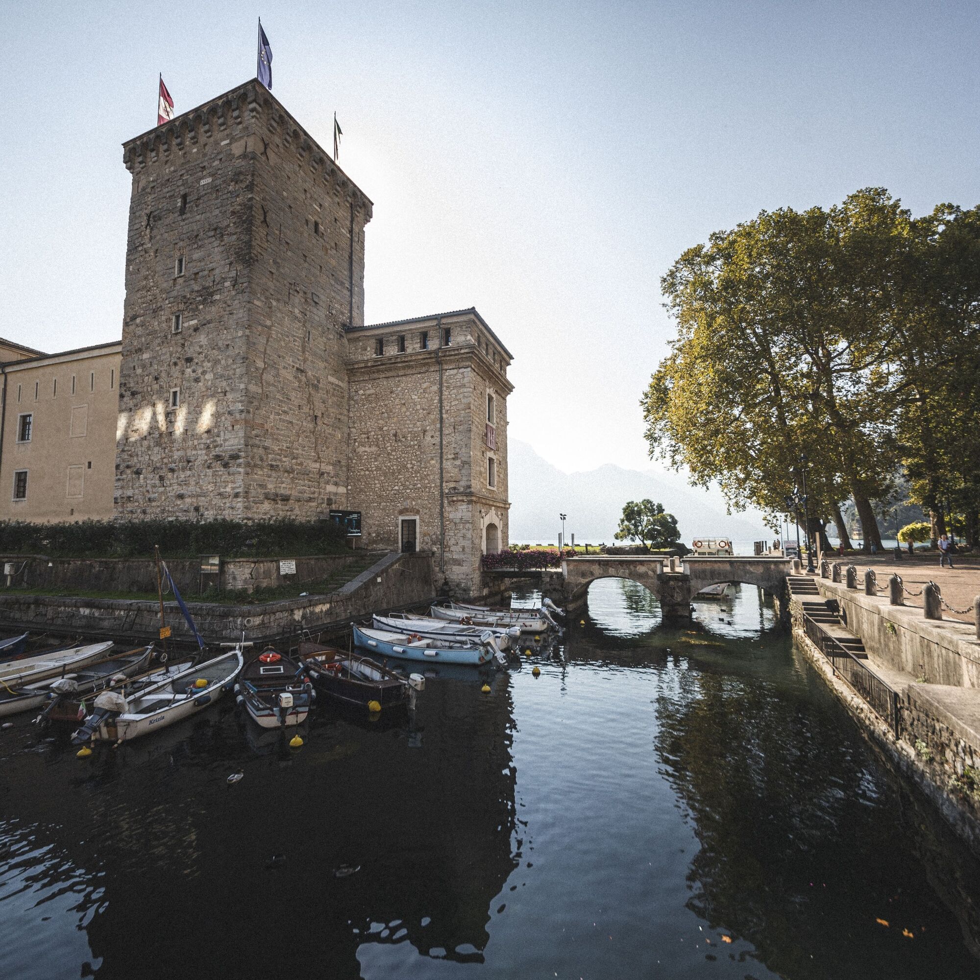
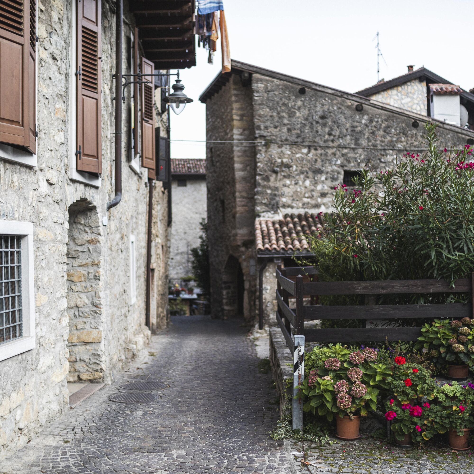
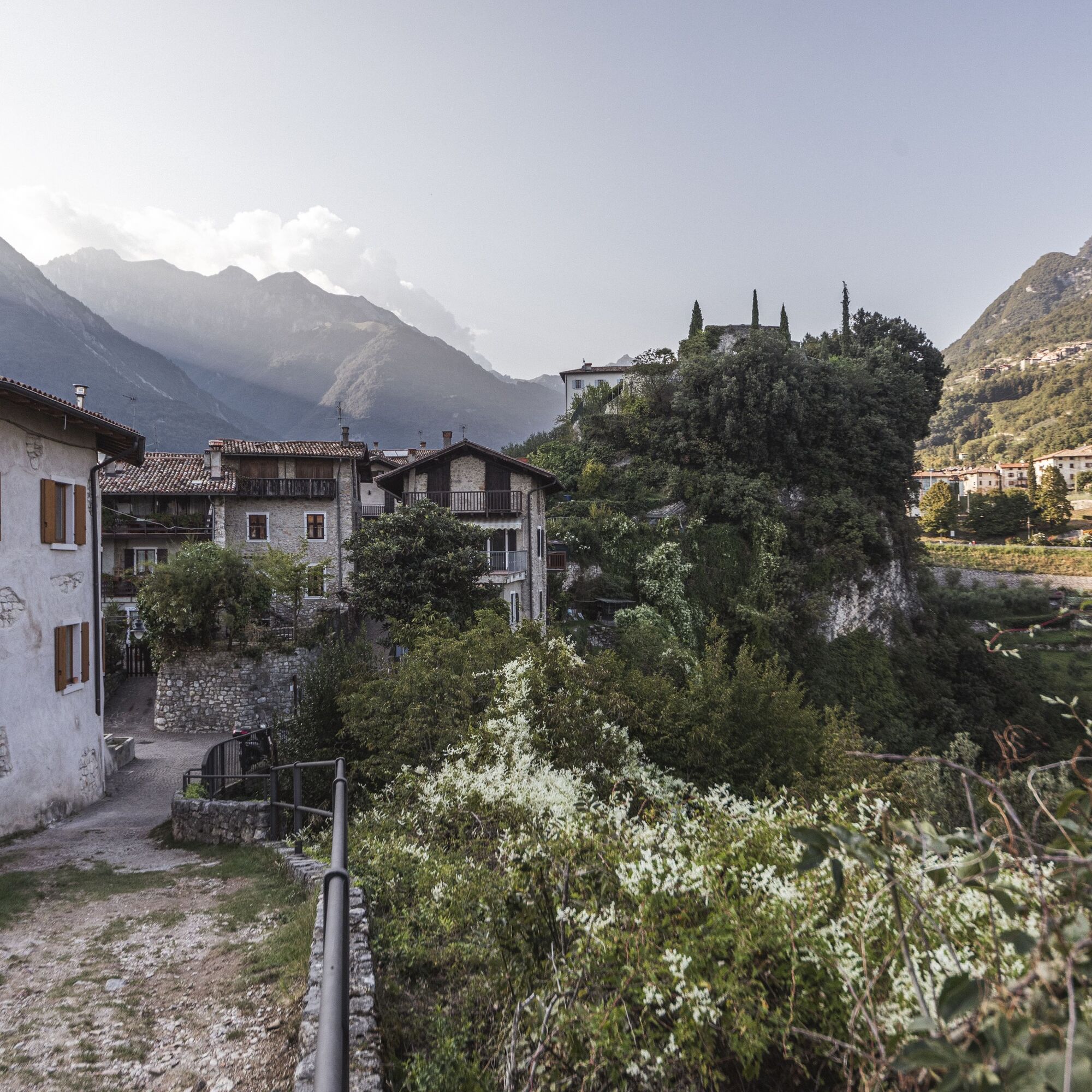
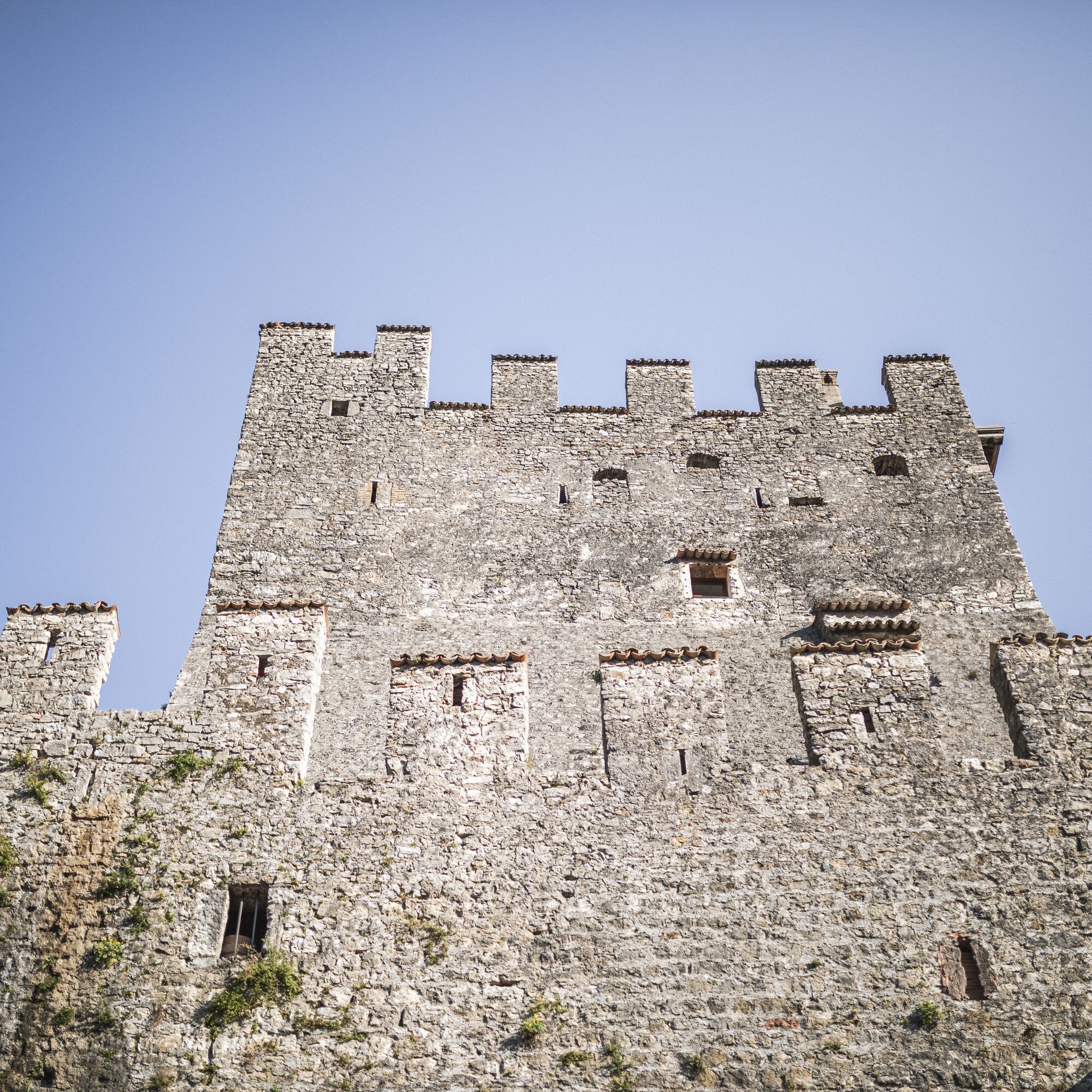
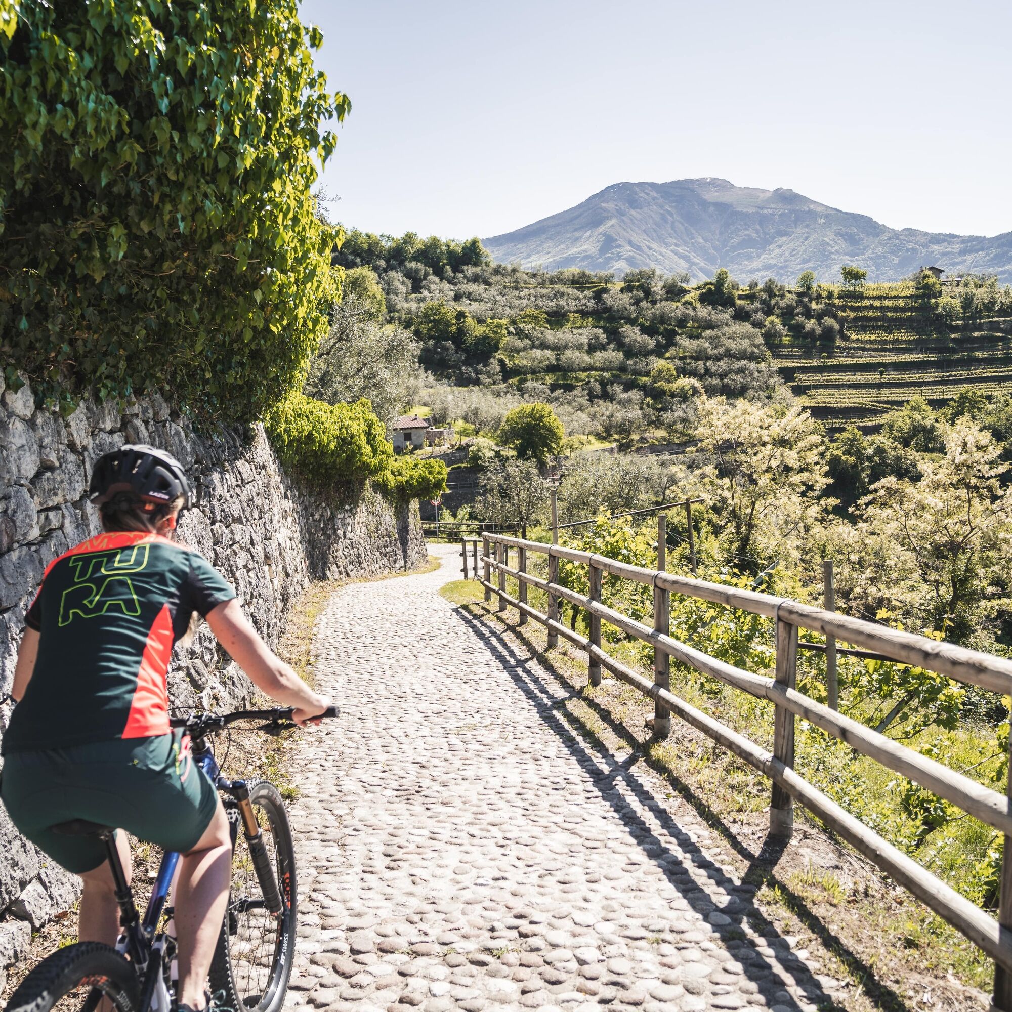
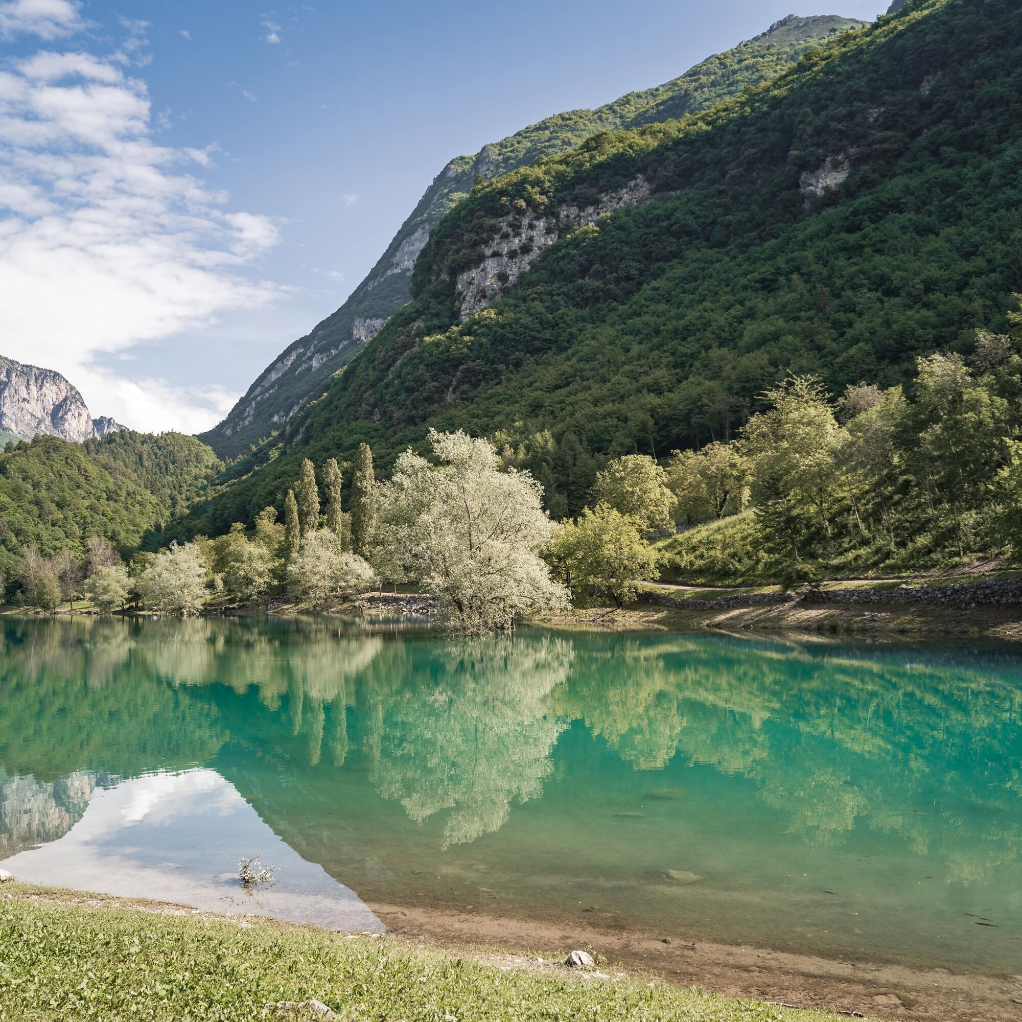
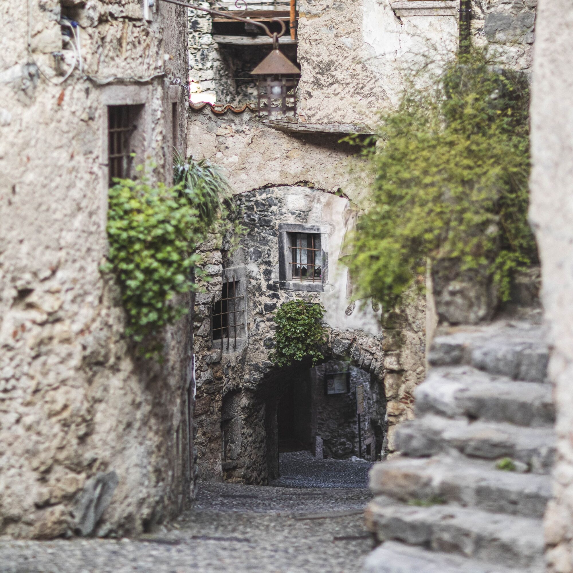
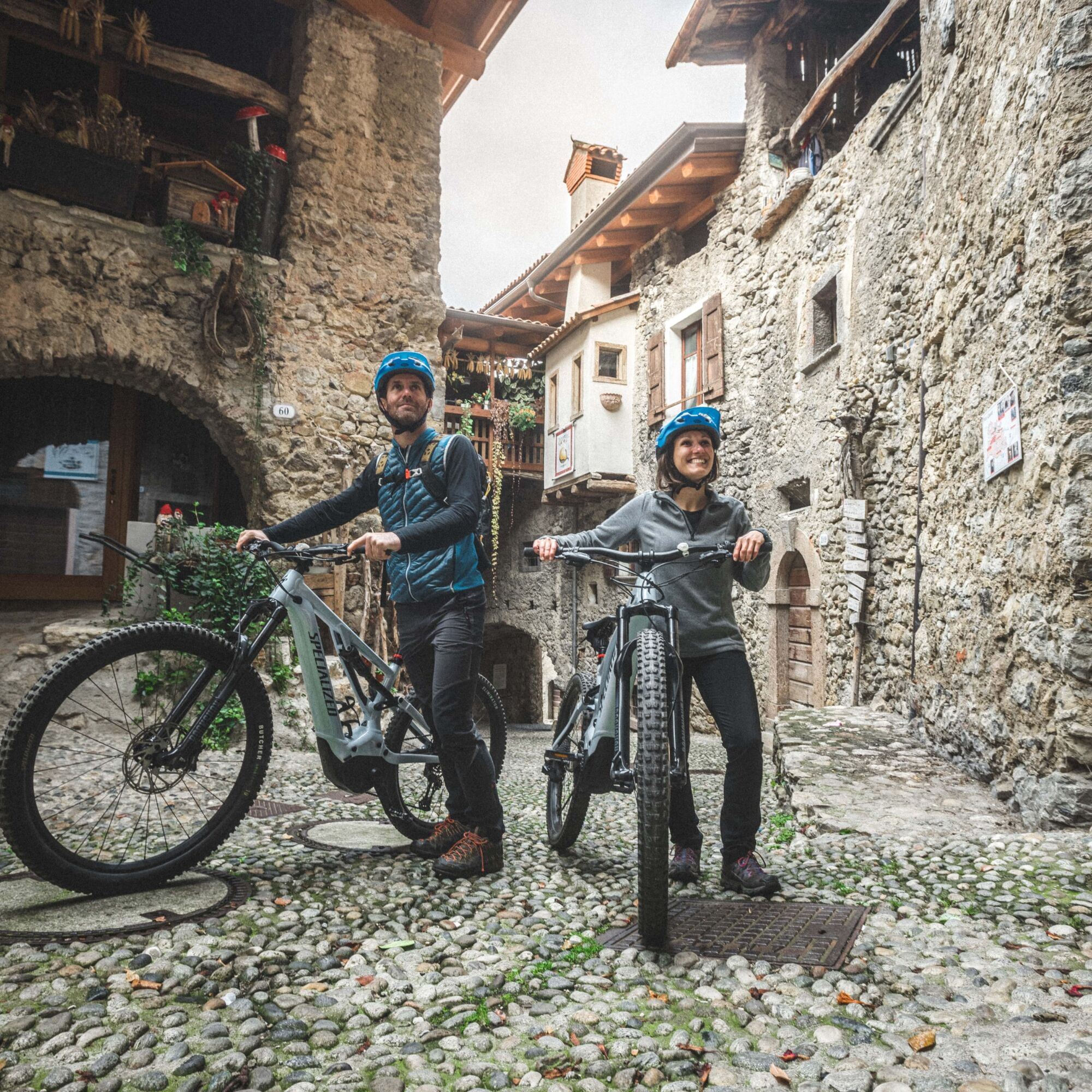
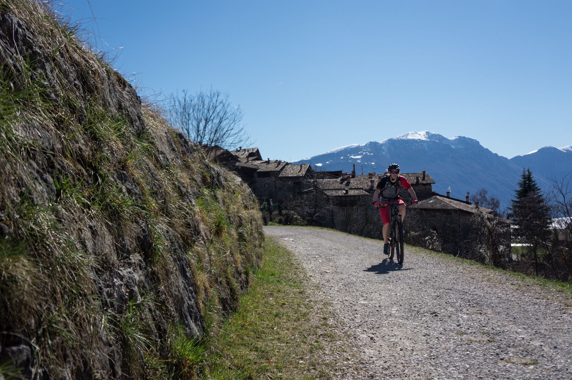
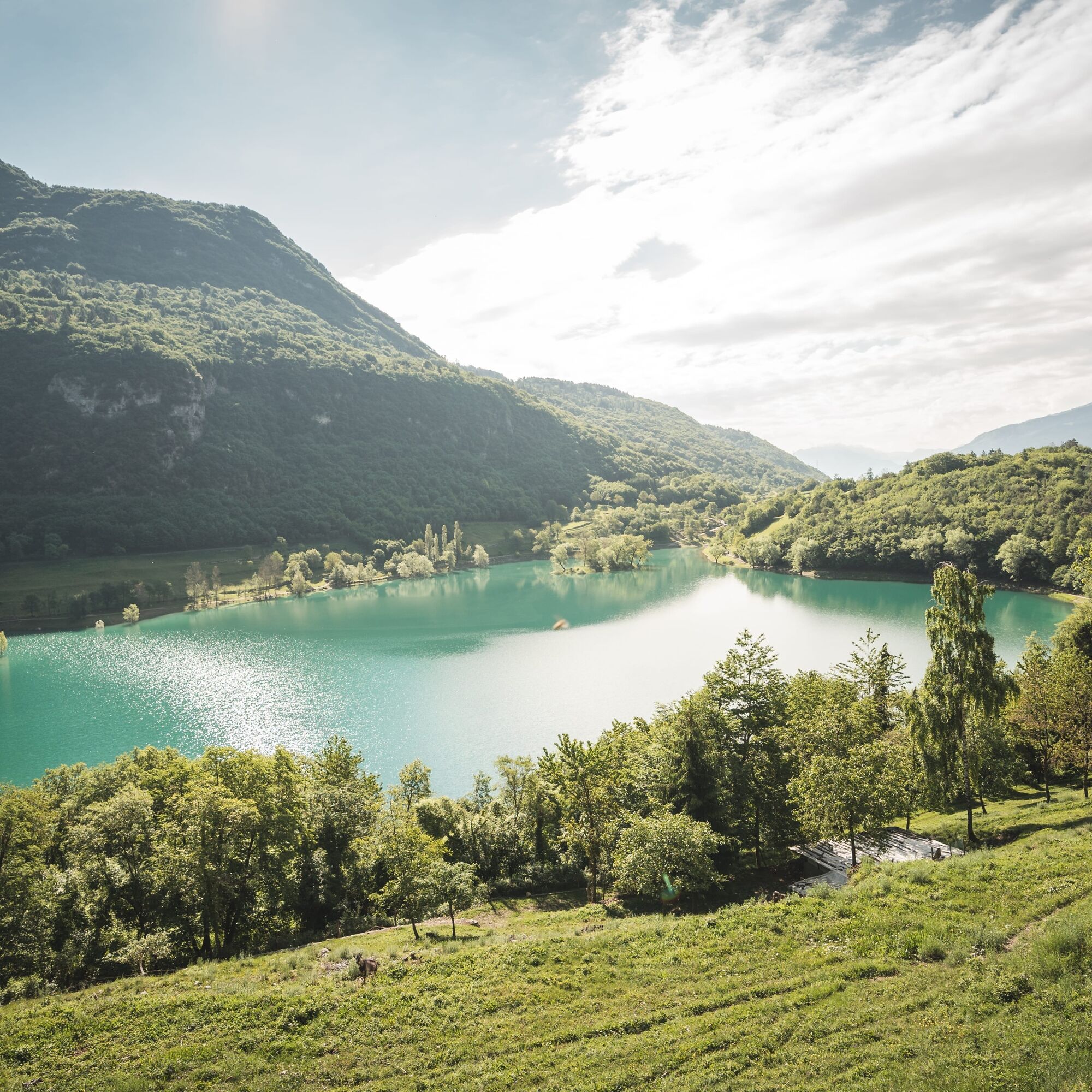
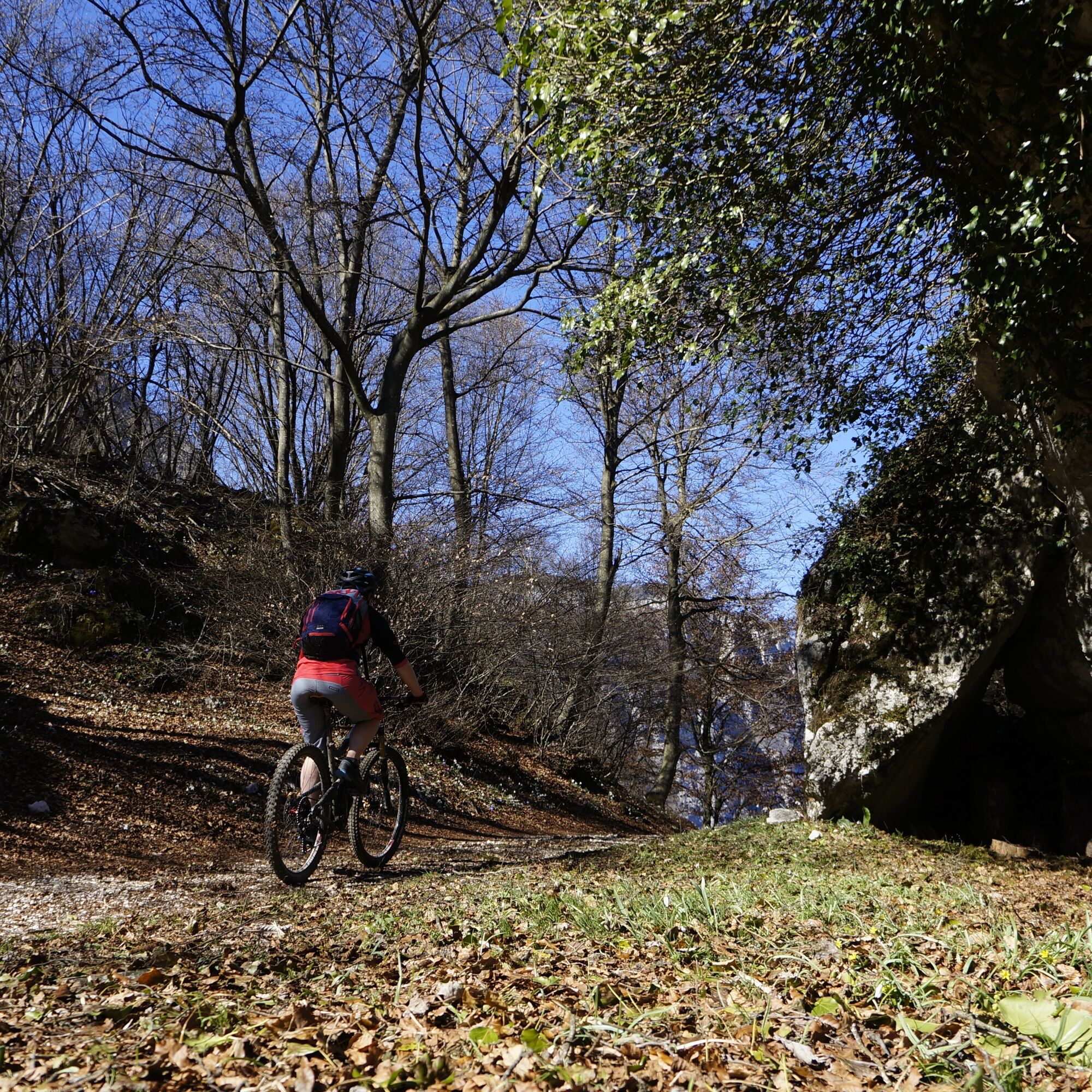
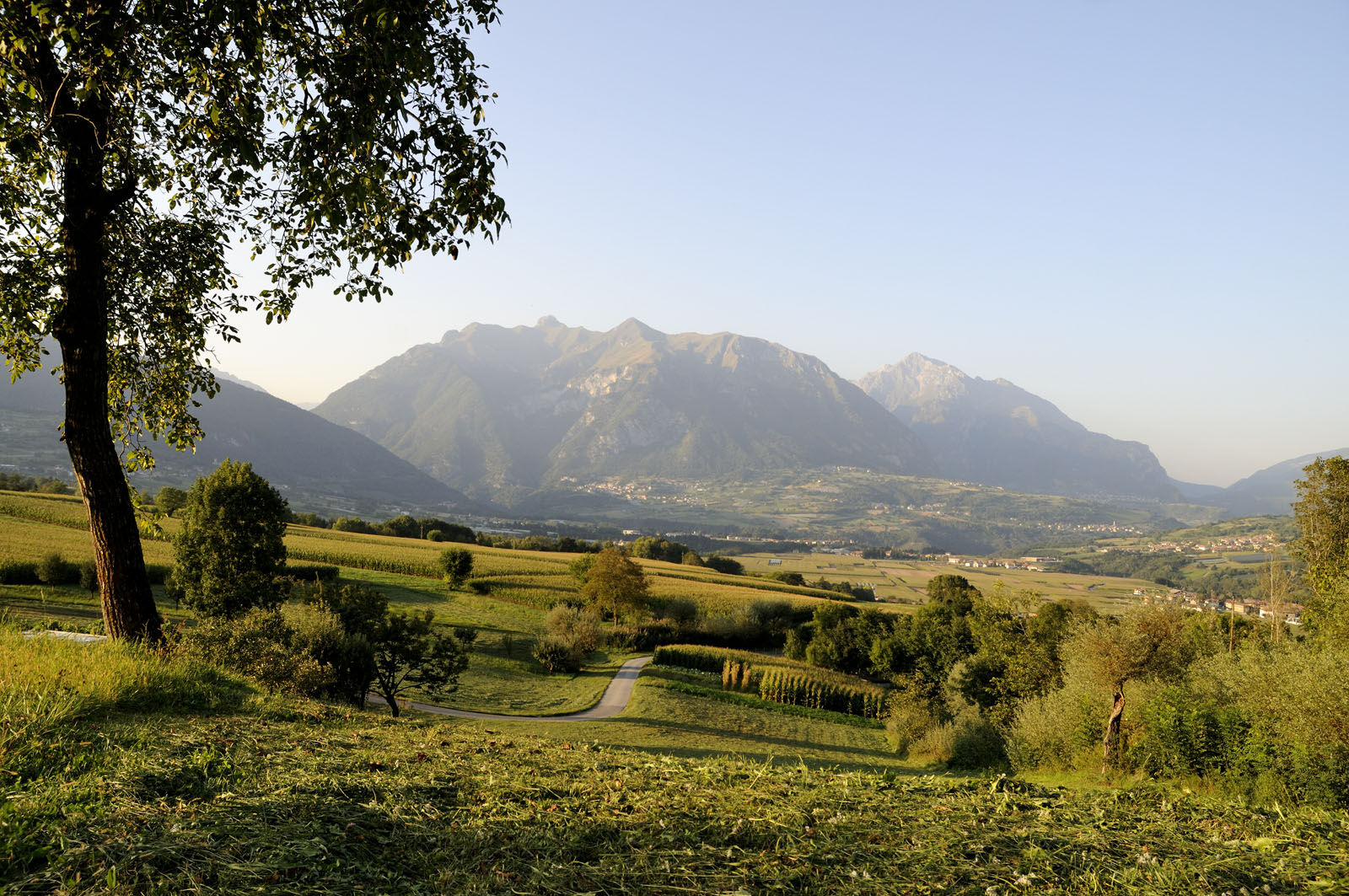
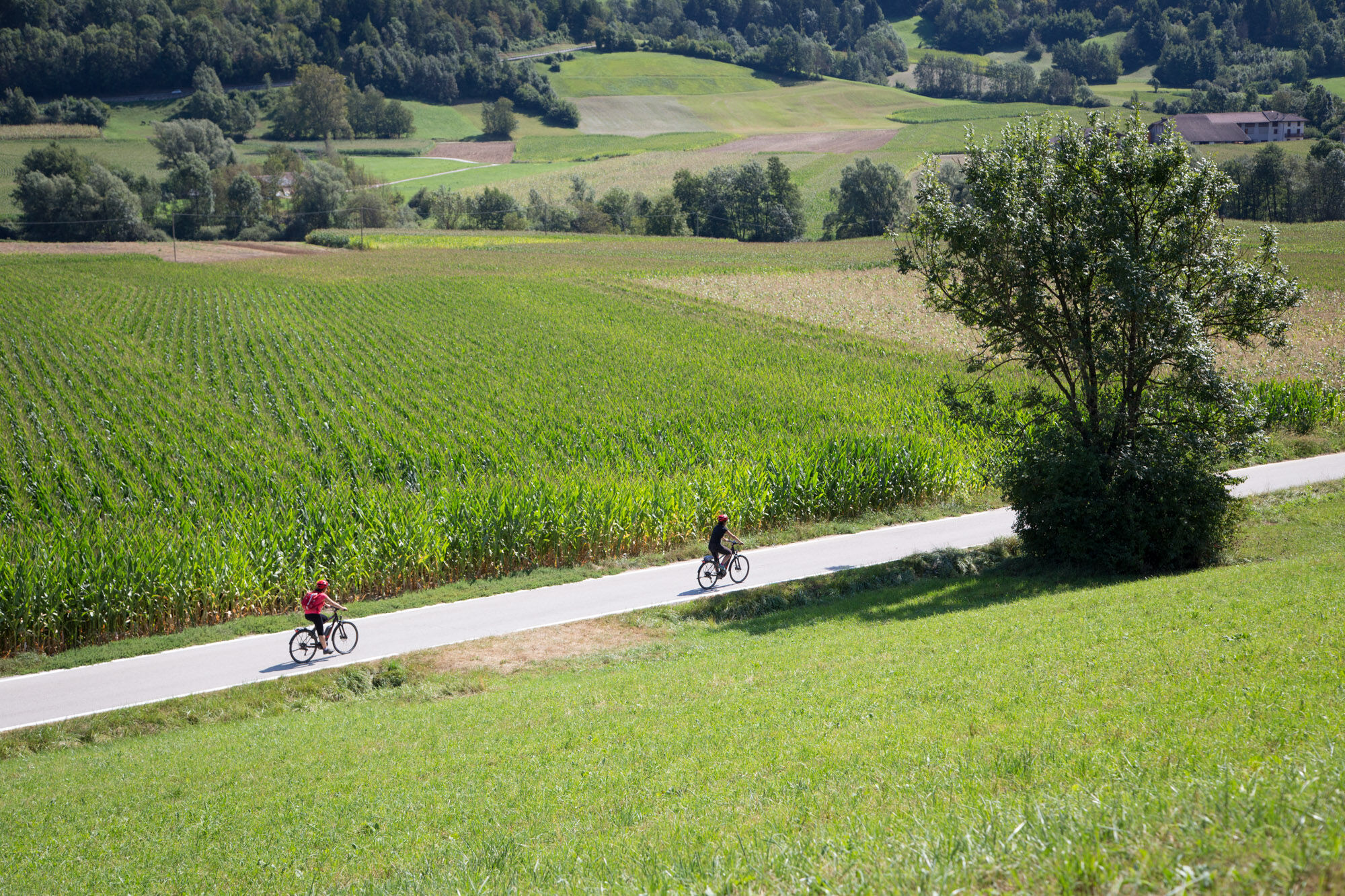
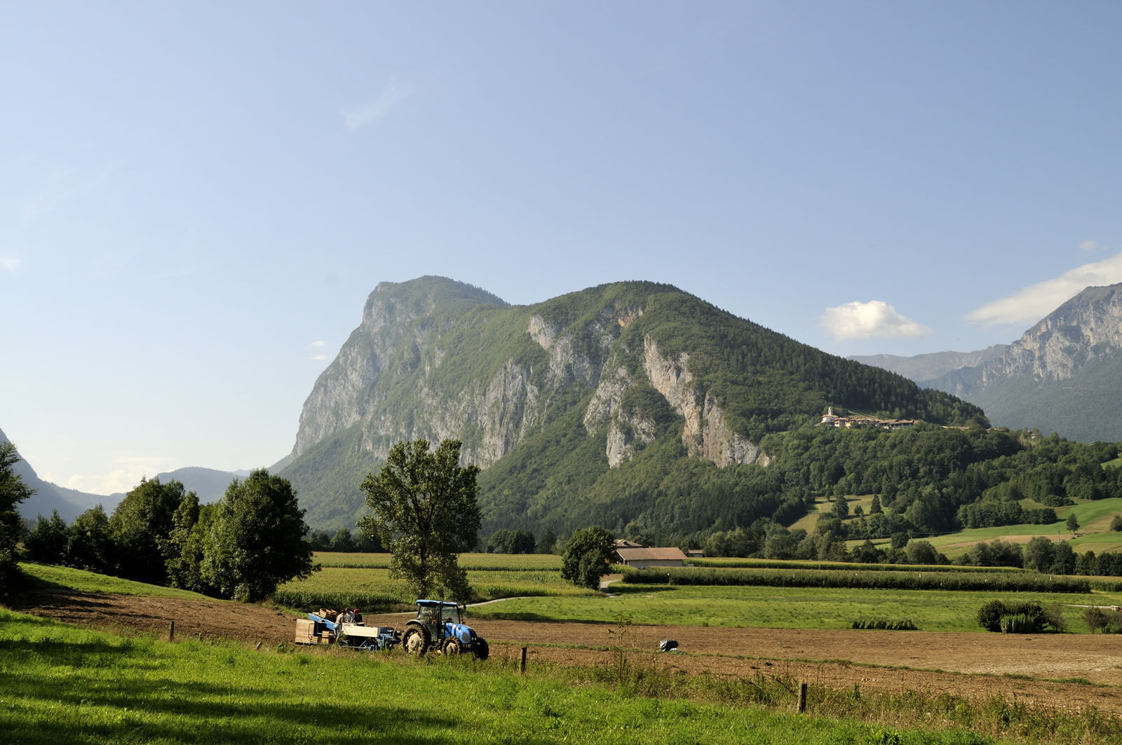
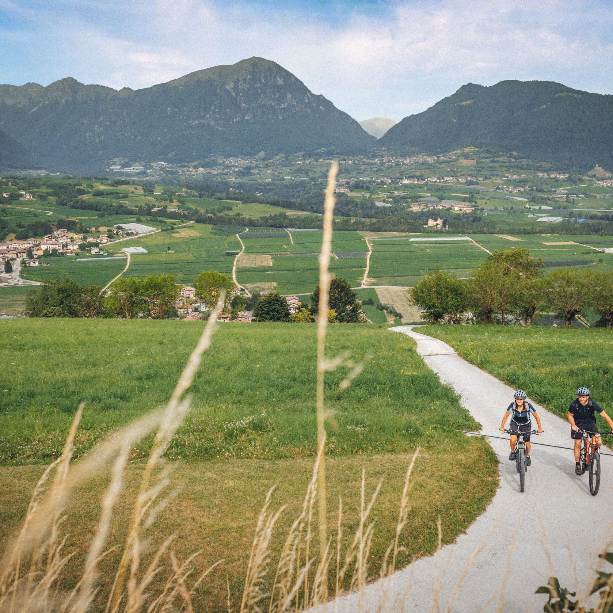
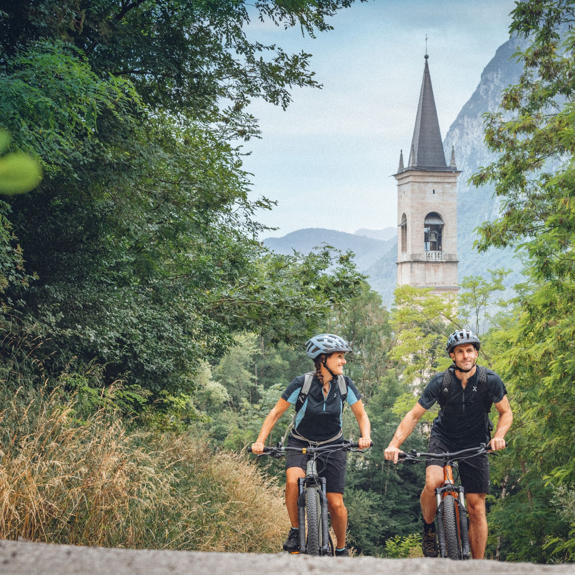
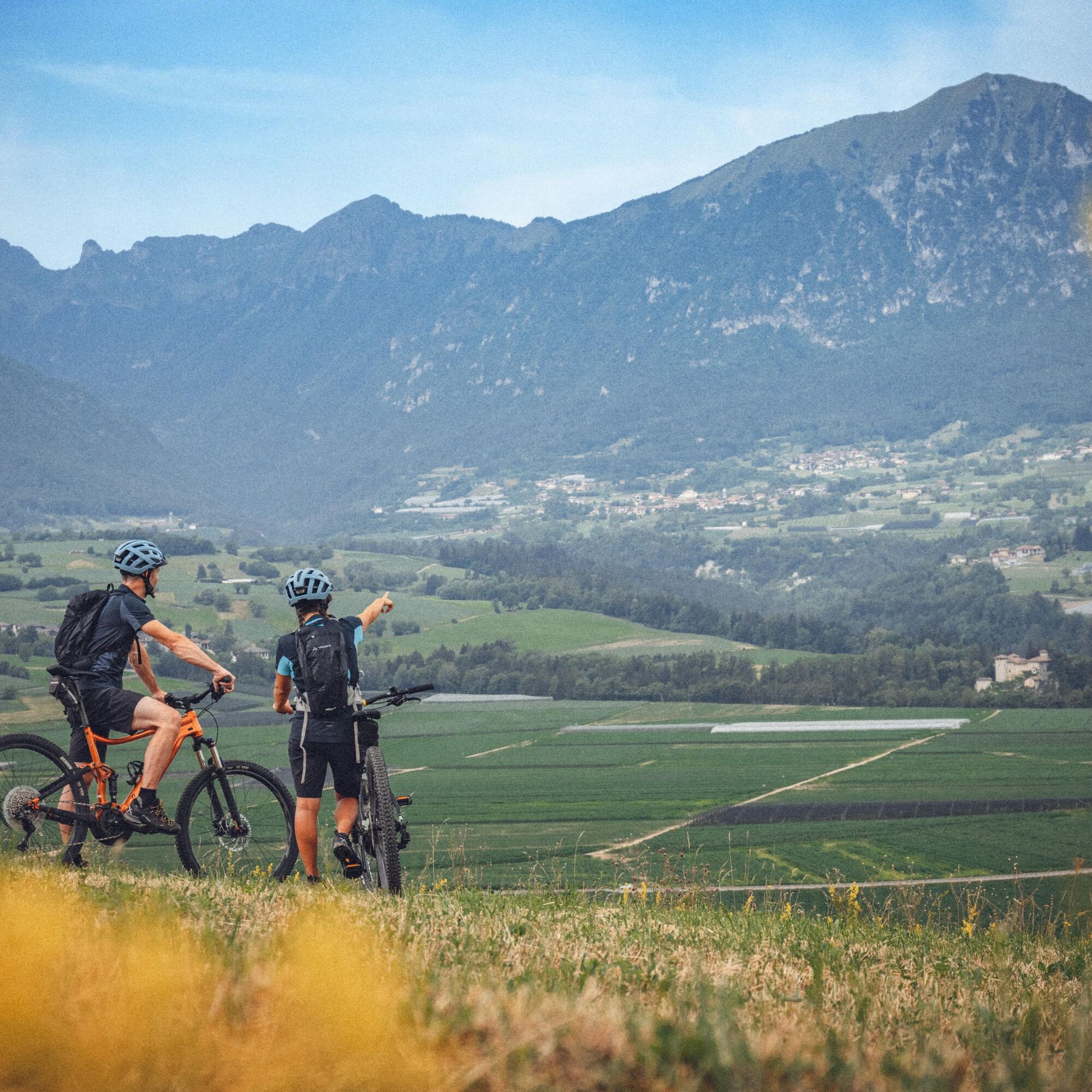
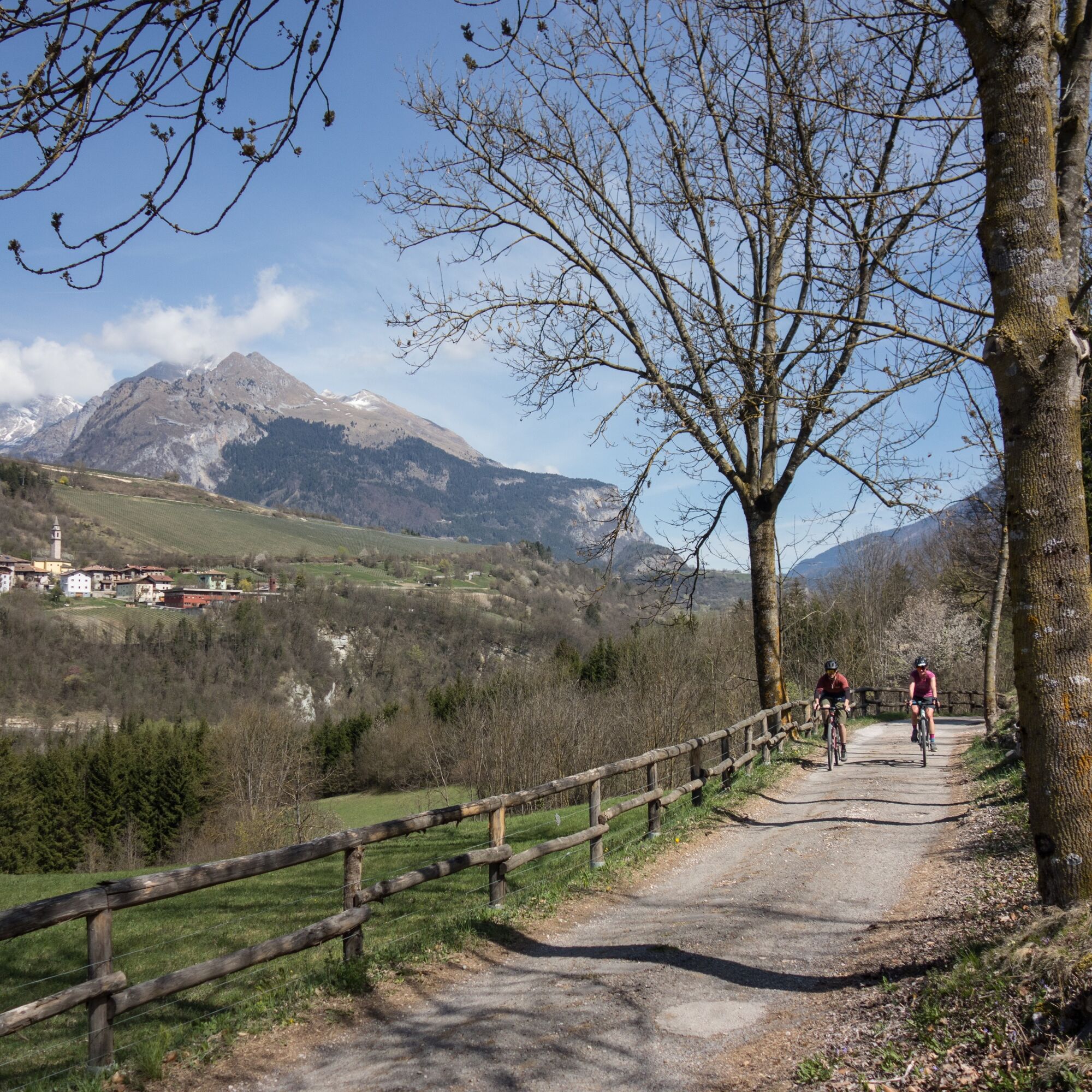
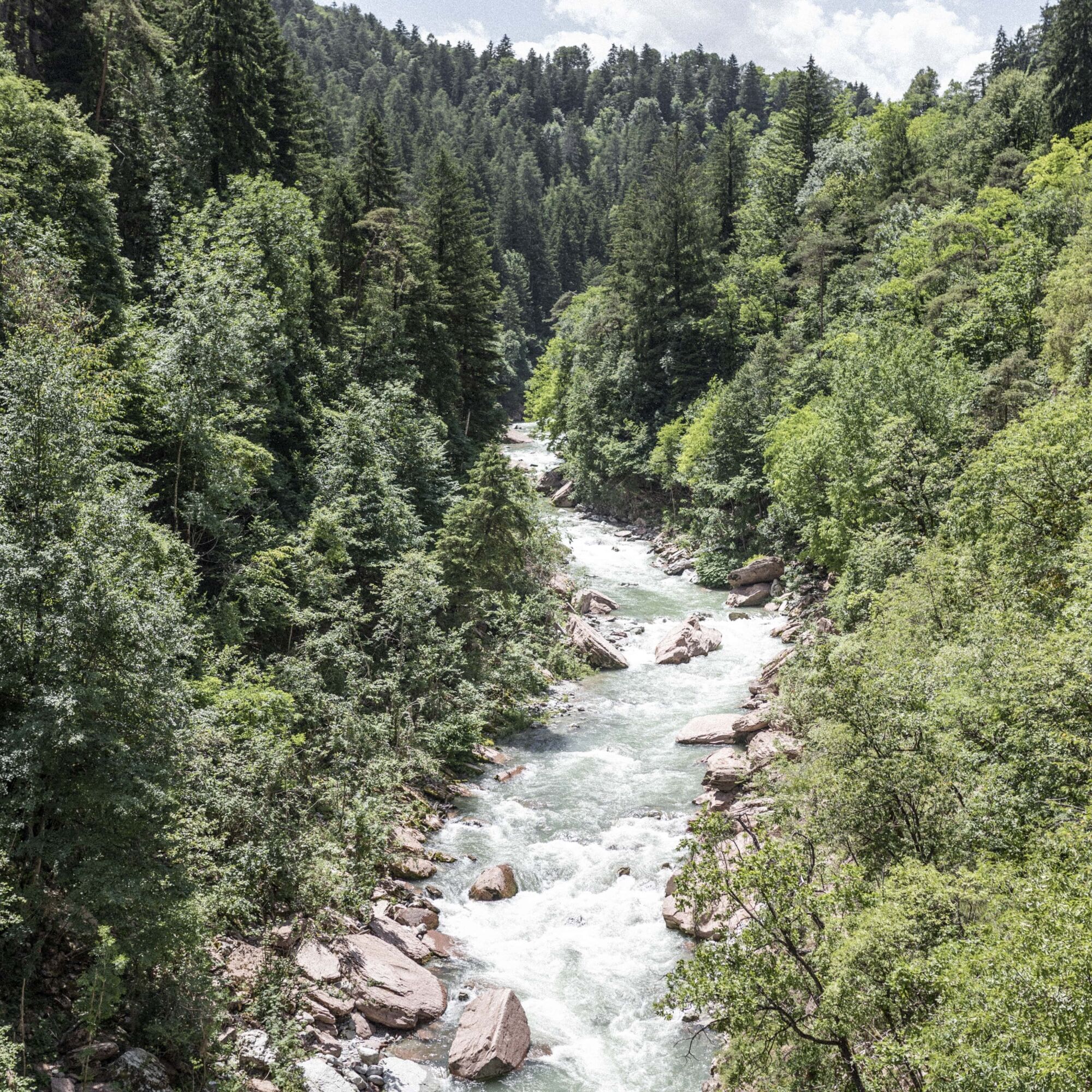
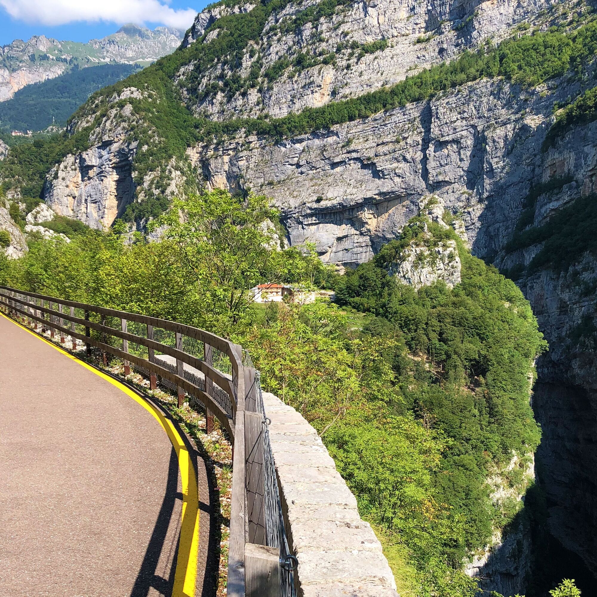
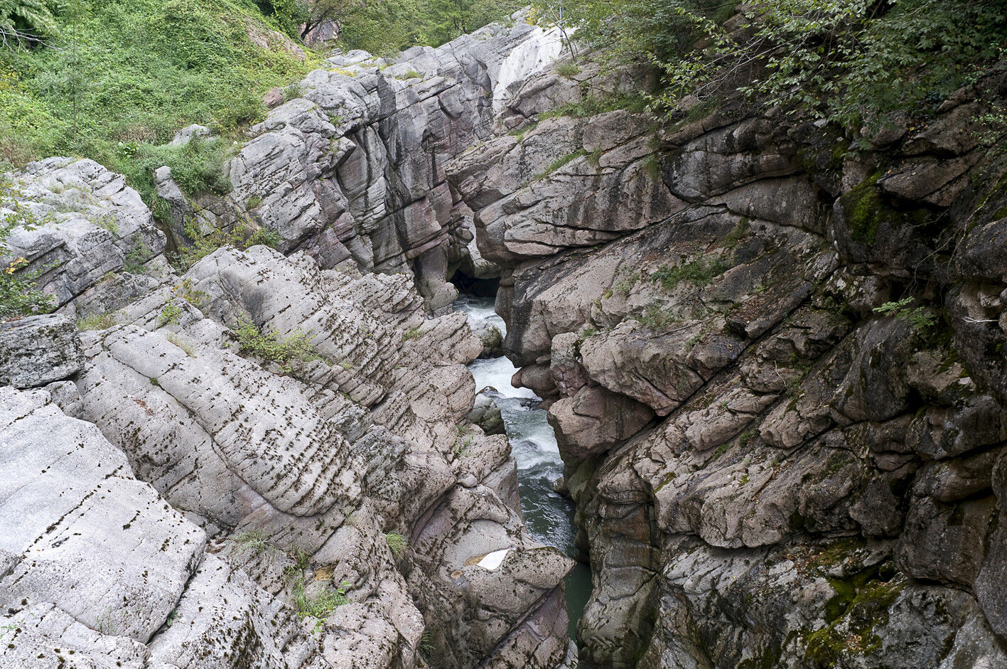
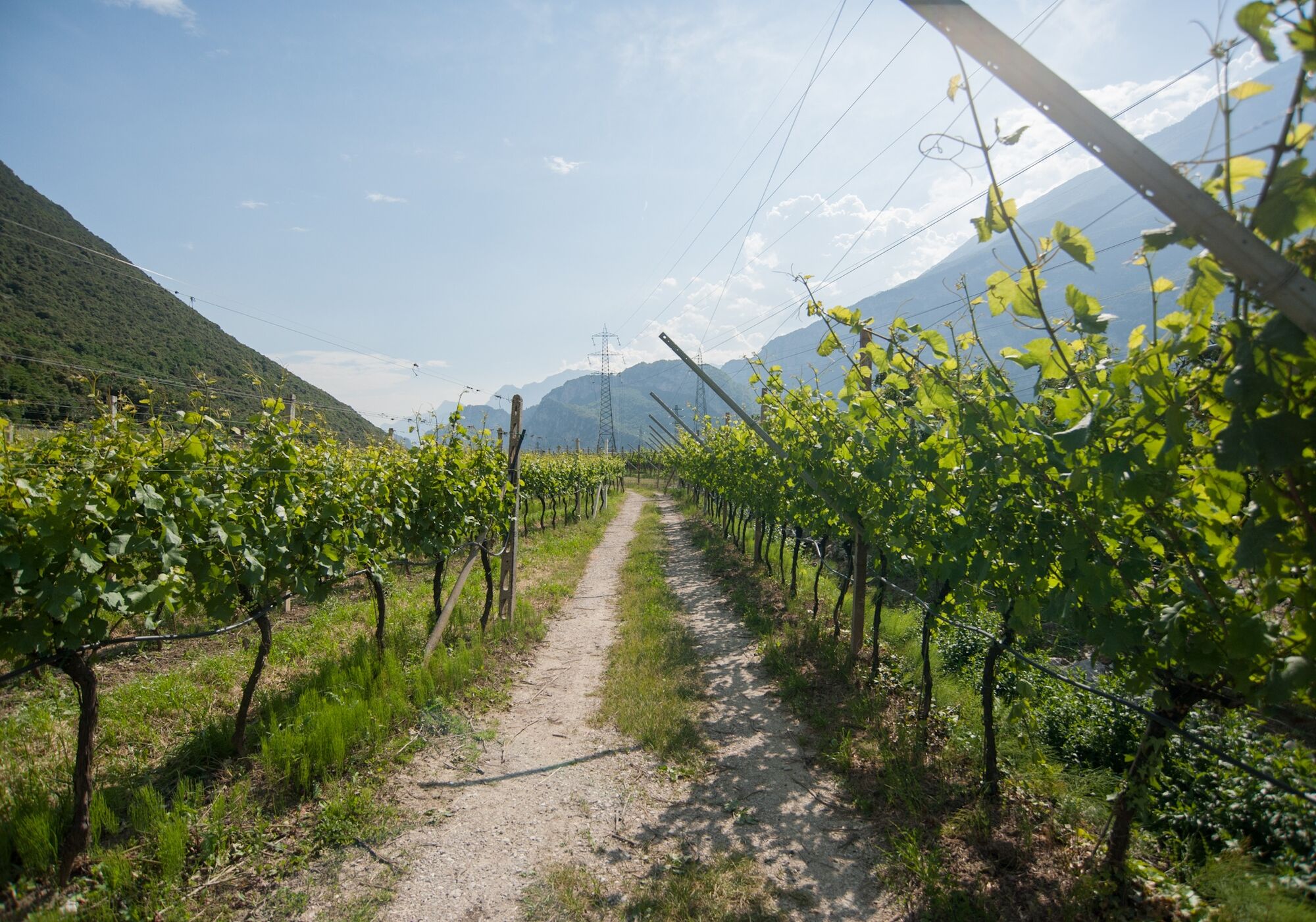
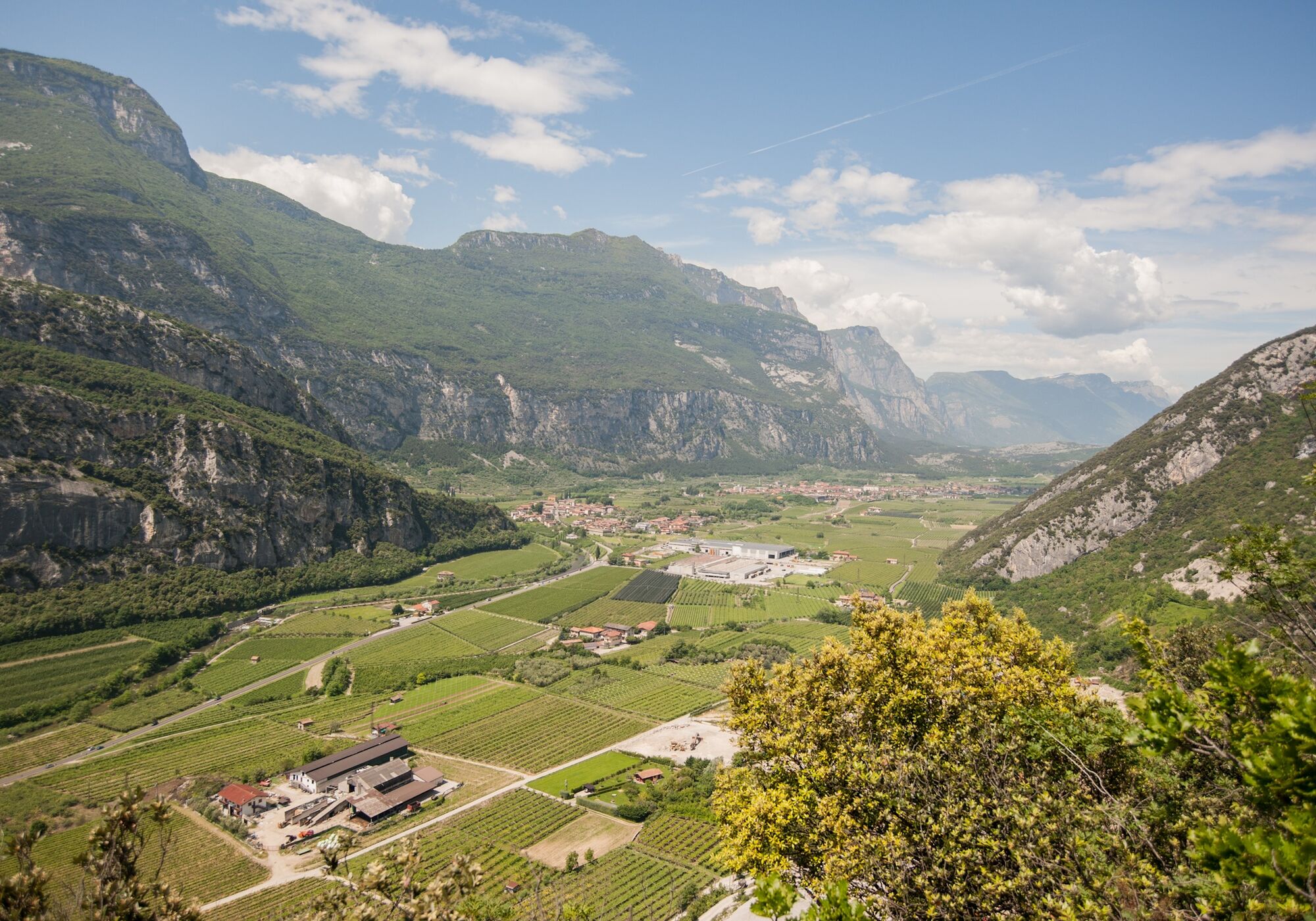
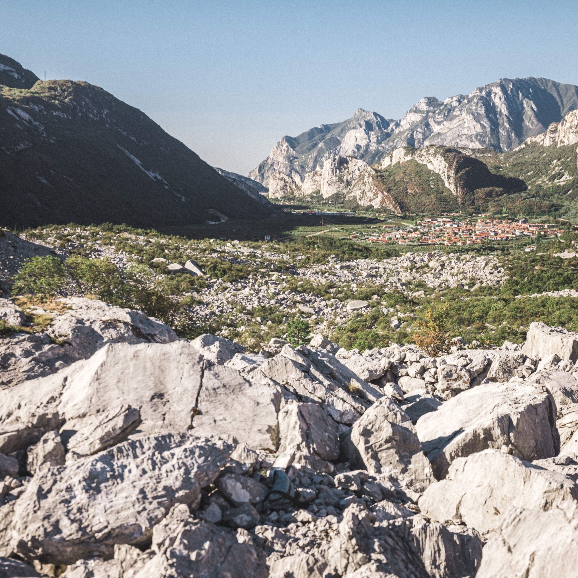
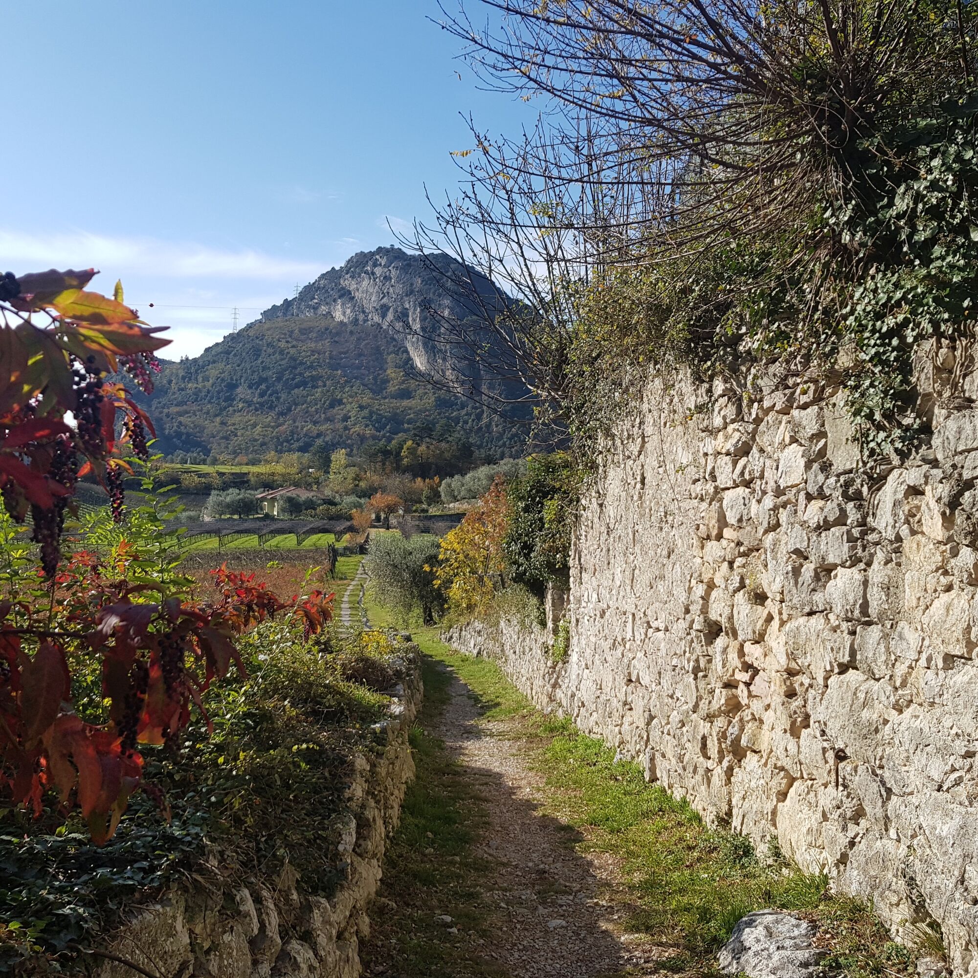
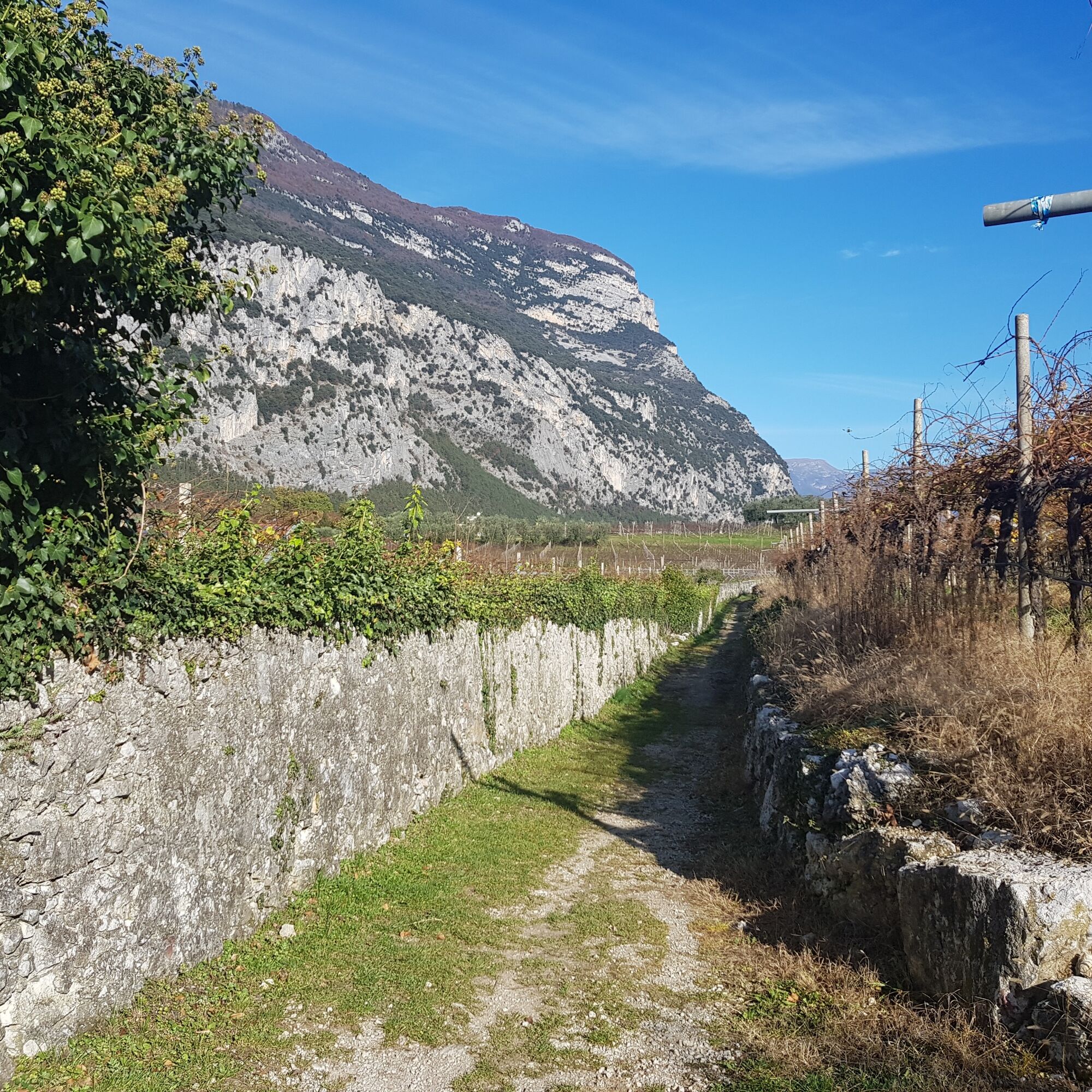
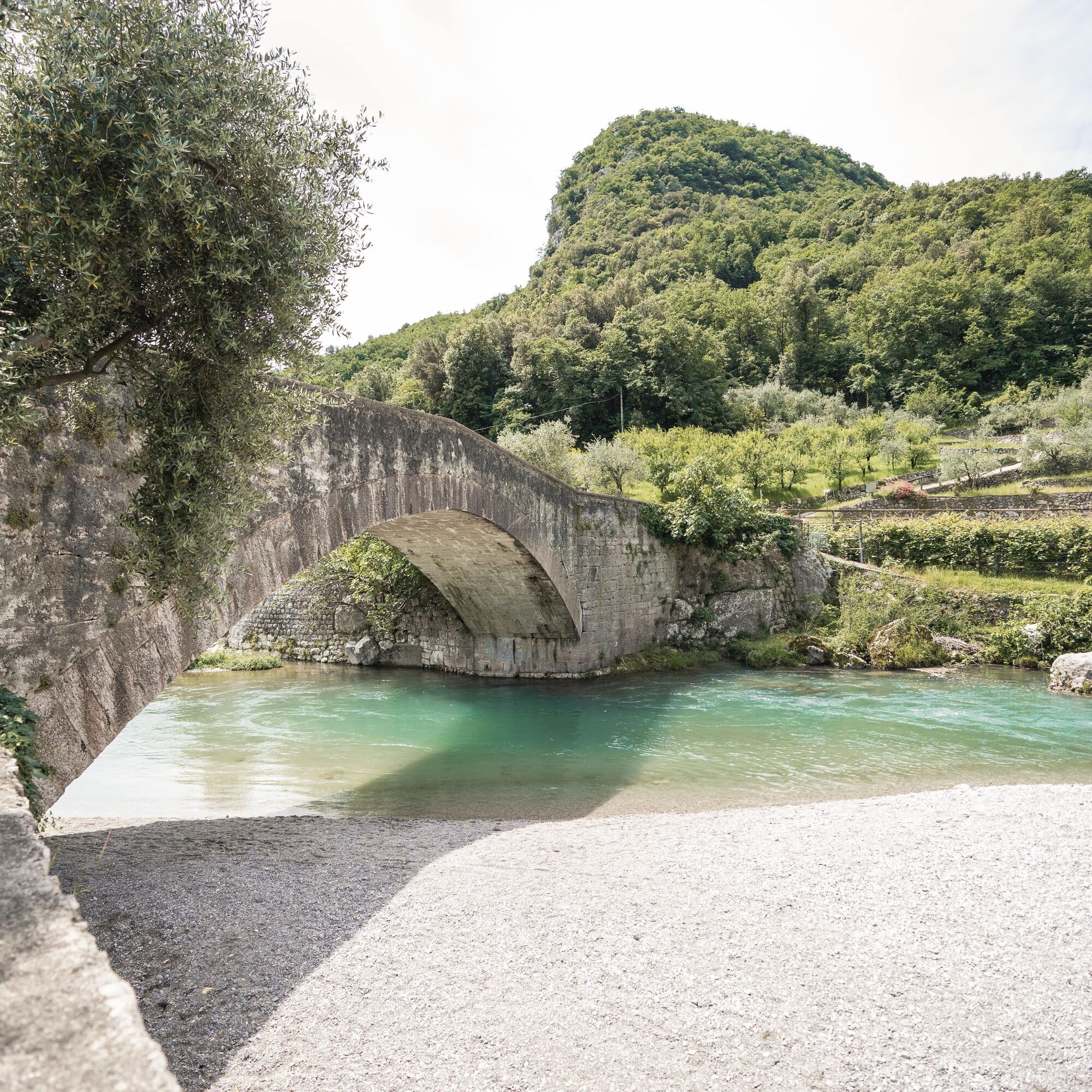
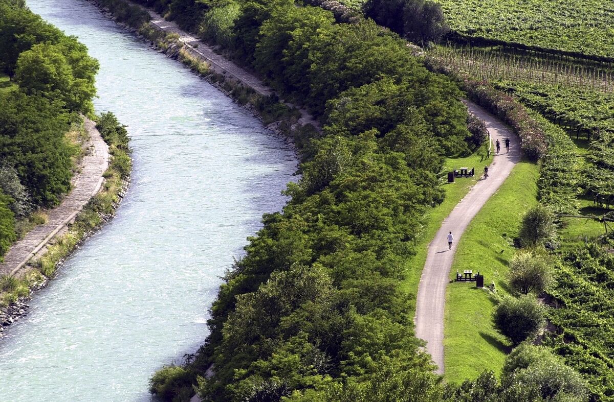
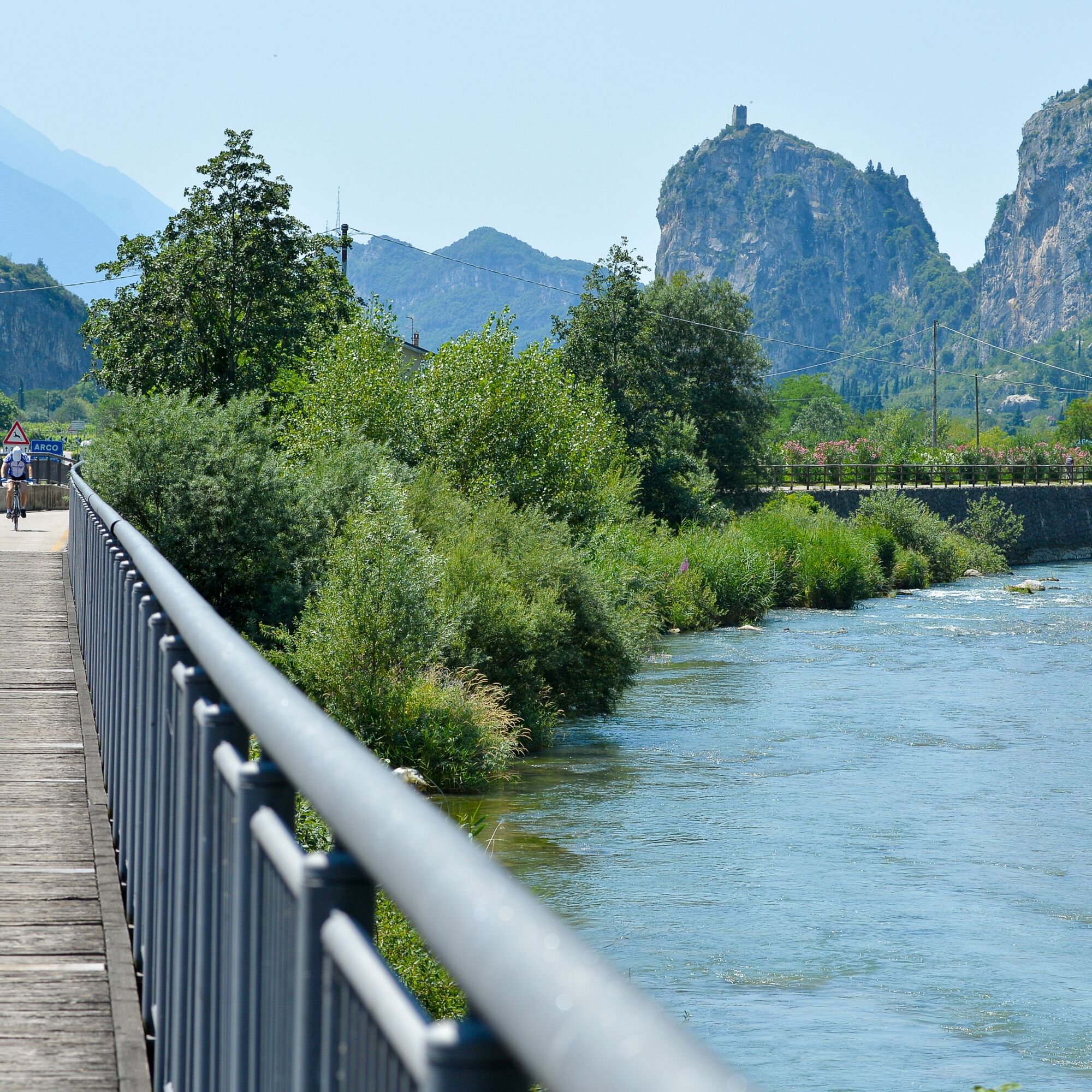
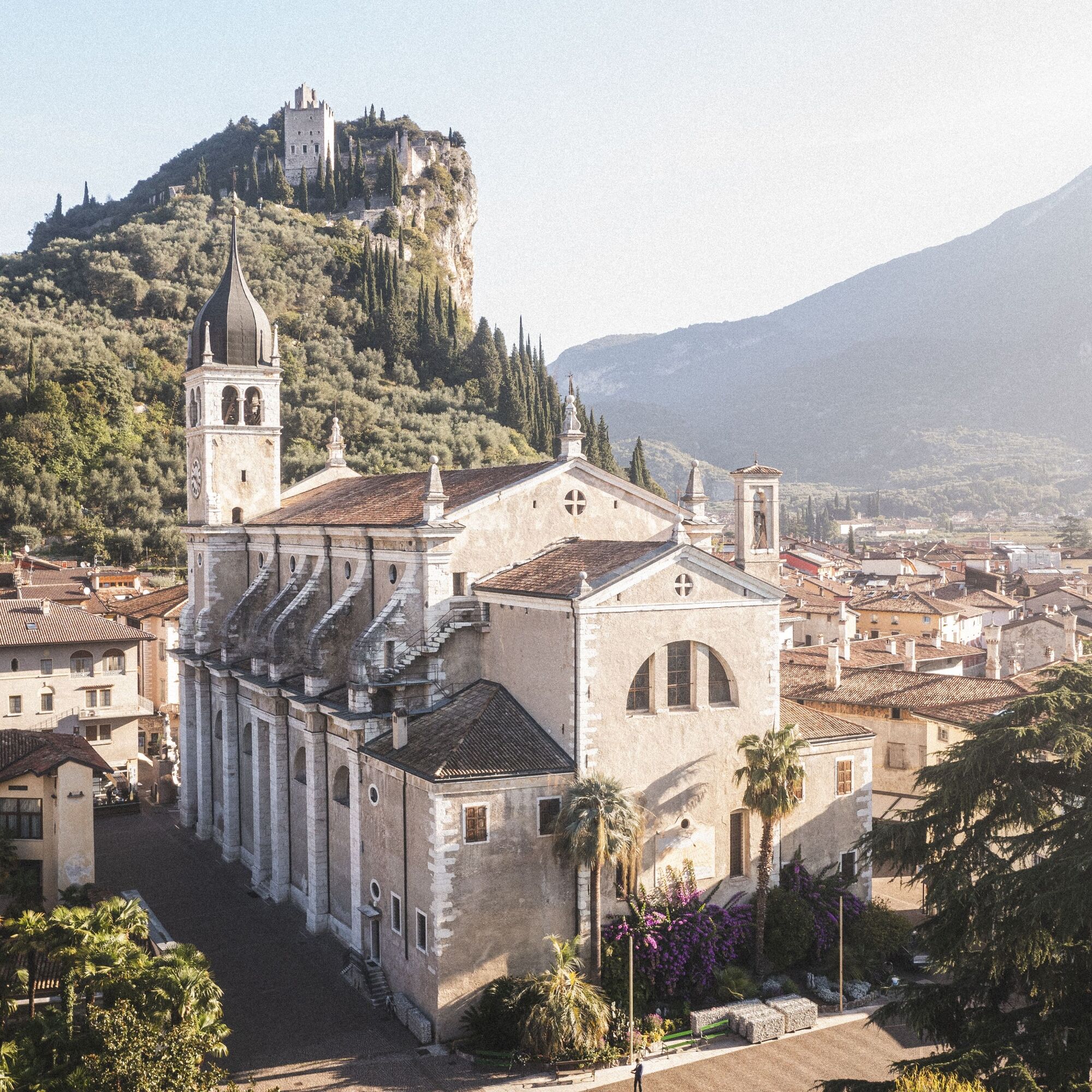


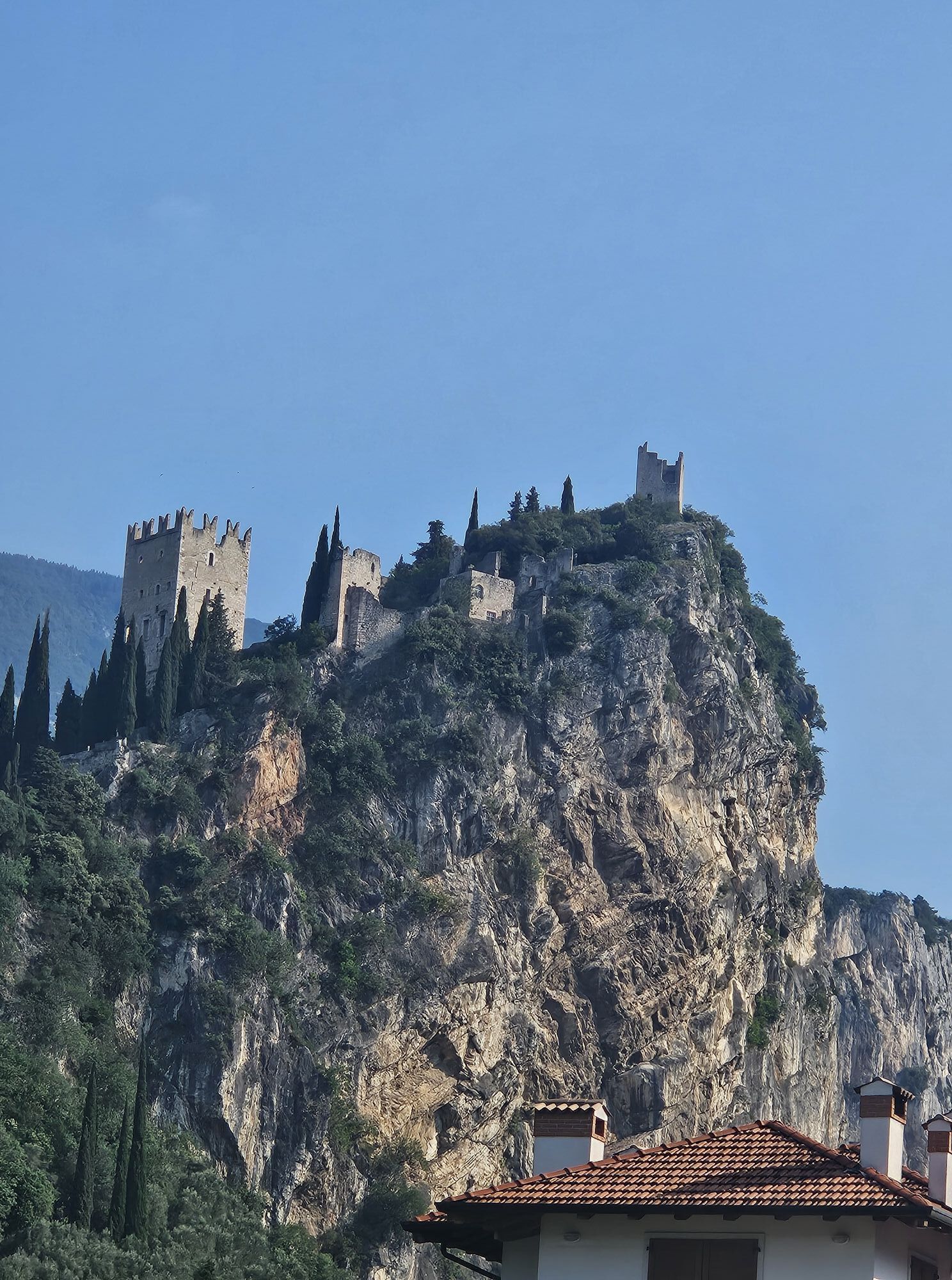
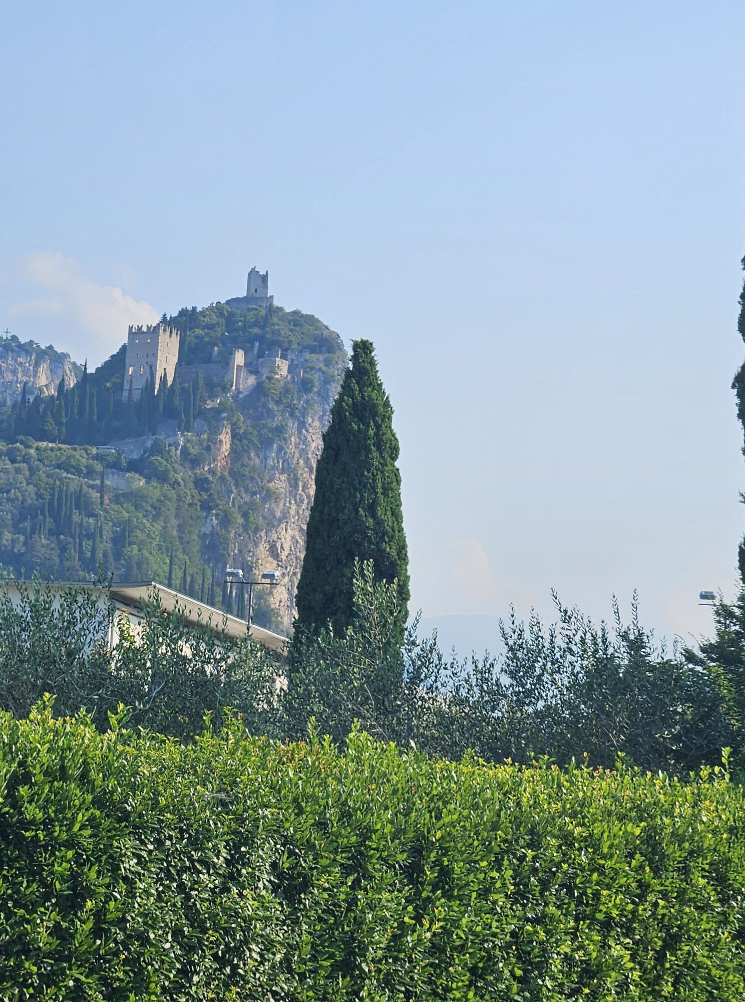
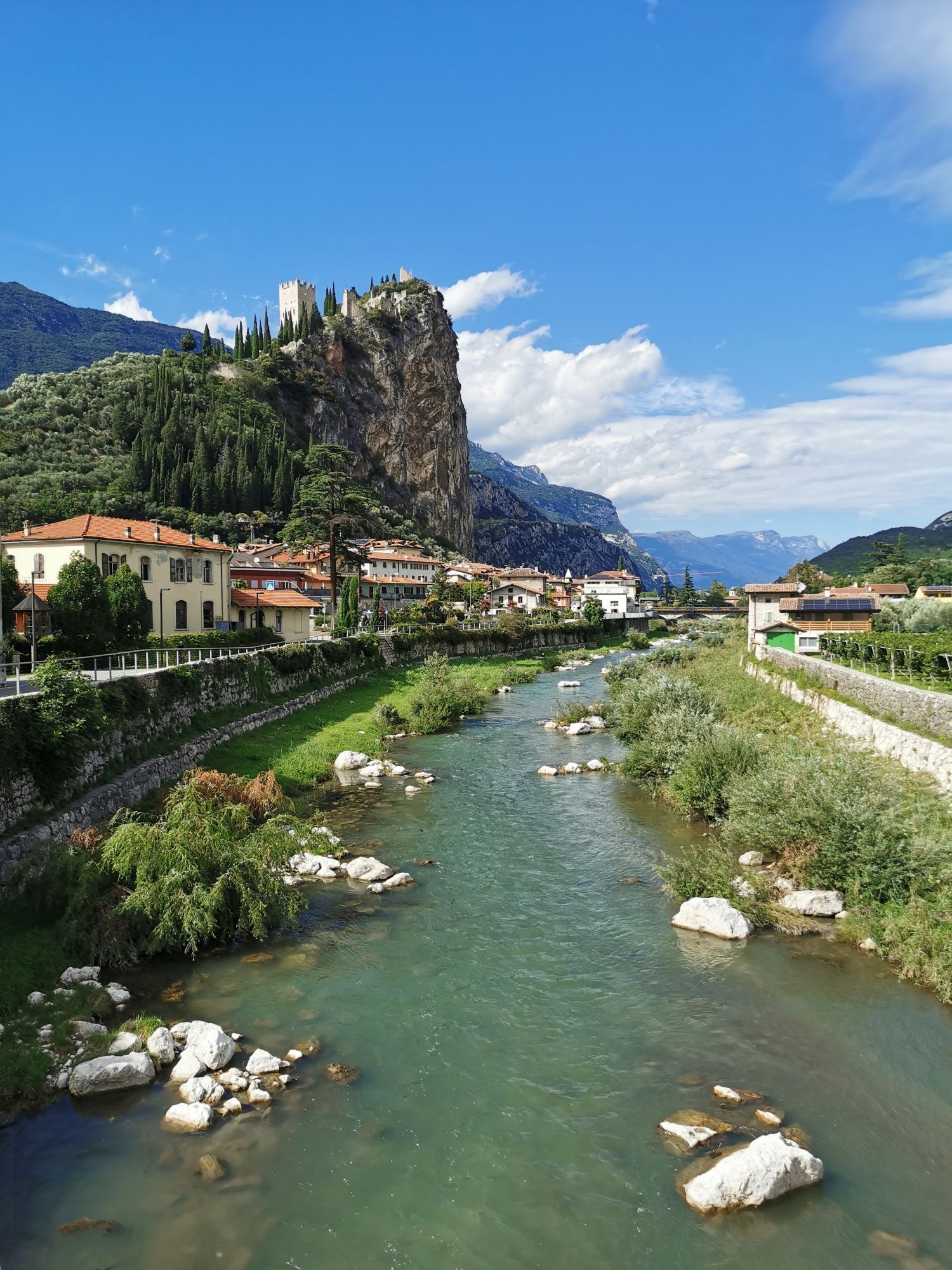
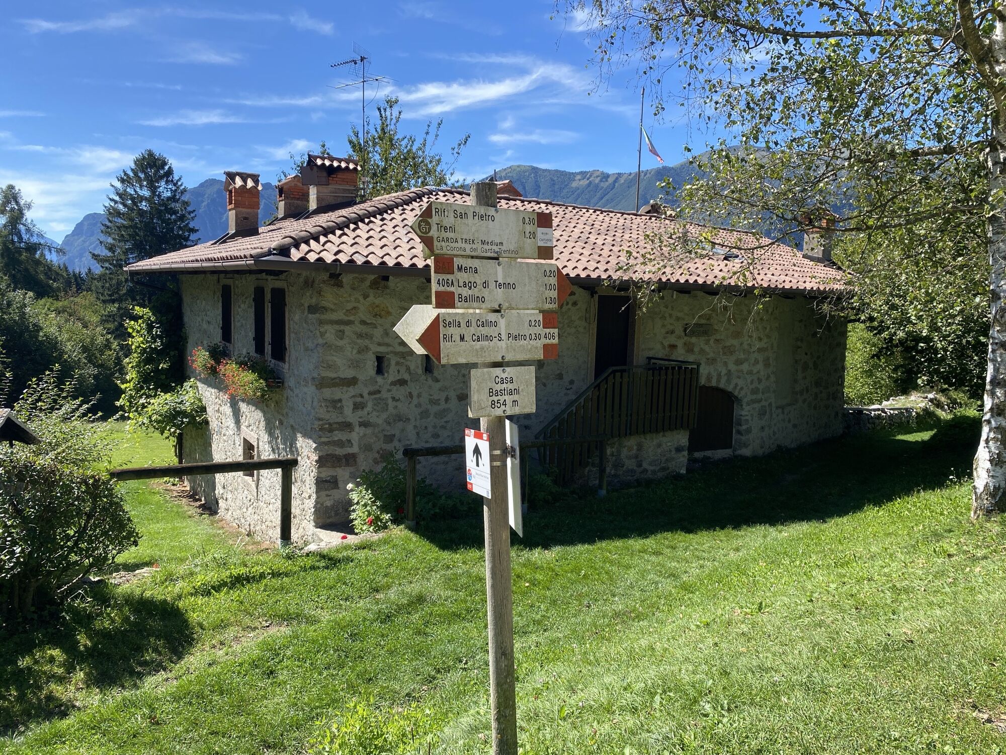
A loop tour that starts from the historic centre of Riva del Garda and follows the cycle path to Varone, from here begins the climb that first reaches one of the most beautiful villages in Italy, Canale di Tenno with its lake, and then Monte Calino. From here we ride along the Val di Tovo forest road and then pass through the Val Lomasona which will take us to Comano Terme, from here it will take us to Ponte Balandin and from here we ride along the Limarò cycle path, at the end of which the descent begins to Sarche and then on to Pietramurata first and then to Dro passing near Lake Bagattoli. Having reached the locality of Oltra and passed the built-up area of Dro, we arrive at Maso Lizzone and at the crossroads continue along the false floor, reaching Ceniga. From here in the blink of an eye you reach Arco, first the old town centre and then the industrial area, thus reaching the end of the route and the starting point.
Áno
Riding your bike requires specific clothing and equipment, even for relatively short and easy trips. It is always better to be prepared… e.g. for bad weather or a sudden drop in your energy levels. The unexpected things are part of the fun!
Remember to thoroughly evaluate the type of route you plan on doing, the locations you intend to cross and the current season. Has it been raining? Attention: The paths may be slippery and require more caution.
What do I need to bring on my bike tour?
An adequate water supply according to your needs (considering temperature, possibility of refuelling and duration of the route) Plenty of snacks (for example, dried fruit or energy bars) Waterproof / Windproof jacket A spare top / spare socks (Descending in a sweaty garment, will make you cold). Suncream Sunglasses Bike gloves/mitts Map or GPS device Bike lights: best placed on your helmet or handlebars. (It is always best to be prepared) Bike repair kit for punctures and mechanical breakdowns First aid kit Emergency whistleIt is always advised to let someone know where you plan to go and how long you expect to be.
Emergency telephone number 112.
ITRS - International Trail Rating System
The ITRS is an objective way to assess trails and routes from a biker’s perspective, evaluating four aspects:
Technical Difficulty: riding skill level needed Endurance: combined effect of length, uphill and downhill Wilderness: amount of planning required based on mobile phone reception, rescue options, water supply and wildlife Exposure: consequences of a fallDiscover more about the ITRS system and check the classification of this tour in the photo gallery.
Safety Tips
Always wear your helmet. Plan your ride. You share the trail with other users. Yield right of way to hikers. Let your speed be determined by your experience. Ride slowly on crowded trails, overtake with politeness and respect. Cycle only on authorized and open trails. Avoid muddy trails in order not to damage them further. Respect public and private property. Always be self-sufficient.Do not cycle solo in remote areas.
This information is subject to inevitable variations, so none of these indications are absolute. It is not entirely possible to avoid giving inexact or imprecise information, given how quickly environmental and weather conditions can change. For this reason, we decline any responsibility for changes which the user may encounter. In any case, it is advisable to check environment and weather conditions before setting out.
Find out how to reach Garda Trentino.
The main towns in Garda Trentino - Riva del Garda, Arco, Torbole sul Garda, Nago – are connected by several urban and intercity bus lines which will take you to the starting point of tours or in the immediate surroundings.
You can also get to Riva del Garda and Torbole sul Garda by the public ferry service.
Parking near the former hospital (Via Rosmini) or the former cemetery (Viale Damiano Chiesa).
Paid parking: Terme Romane (Viale Roma), Vecchia stazione (Largo Medaglie d’Oro), Ex-agraria (Via Lutti), Area ex-Cattoi (Viale Rovereto).
■
Whether taking it easy with an e-bike or pushing the pace with a traditional mountain bike, the choice is left to each cyclist.
Webové kamery z prehliadky

Obľúbené výlety v okolí
-
5,0
Via Ferrata Signora delle Acque - Rio Ruzza
ťažkéVia ferrata 5,32 km -
4,8
Via Ferrata Rio Sallagoni
strednáVia ferrata 2,75 km -
4,6
Colodri Klettersteig (A/B)
Via ferrata 7,50 km -
4,6
Ciclabile dei Laghi Torbole – Sarche Cycle path
strednáCyklistika 24,8 km -
4,3
Malga Movlina and Rifugio XII Apostoli
strednáTuristika 11,6 km -
5,0
In the heart of Garda Trentino: the "Giro della Busa" loop
svetloCyklistika 19,6 km -
4,5
From Malga Campo to Monte Stivo
strednáTuristika 8,46 km -
4,2
Bosco Caproni and Trenches of Vastrè
svetloTuristika 5,77 km -
4,6
The Calavino Water Channel
strednáTuristika 3,79 km -
4,2
Monte Colodri - Colt
strednáTuristika 9,94 km

Turistika a stopovanie


Nenechajte si ujsť ponuky a inšpiráciu na ďalšiu dovolenku
Vaša e-mailová adresa bol pridaný do poštového zoznamu.





