







From Lake Garda to Lake Ledro via Ponale

Úroveň náročnosti: S0
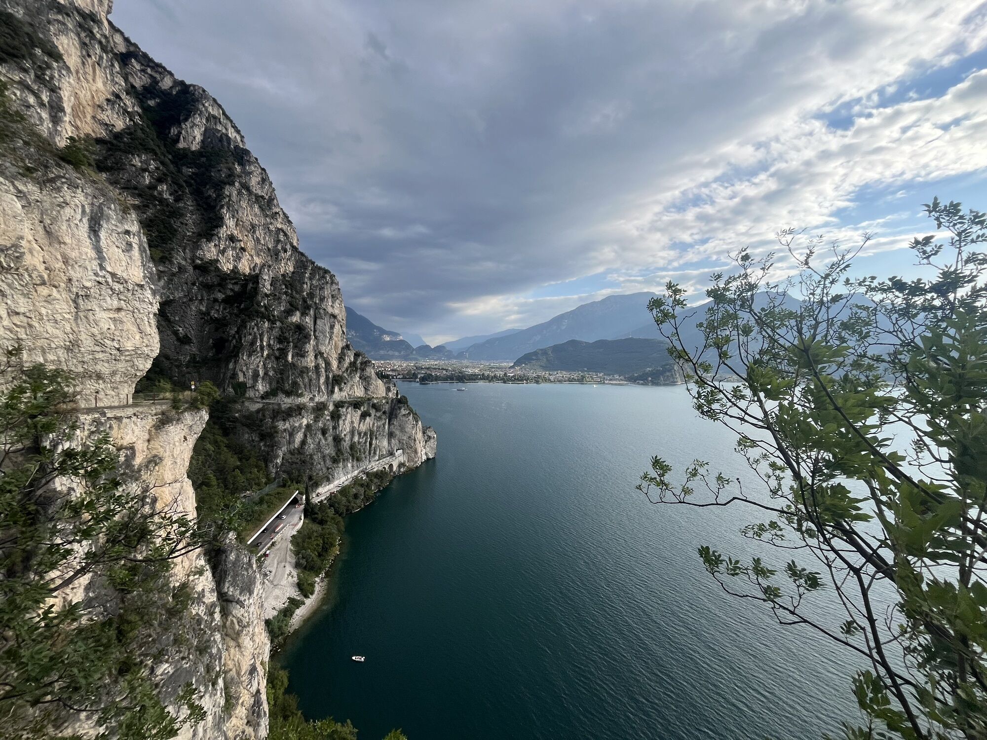
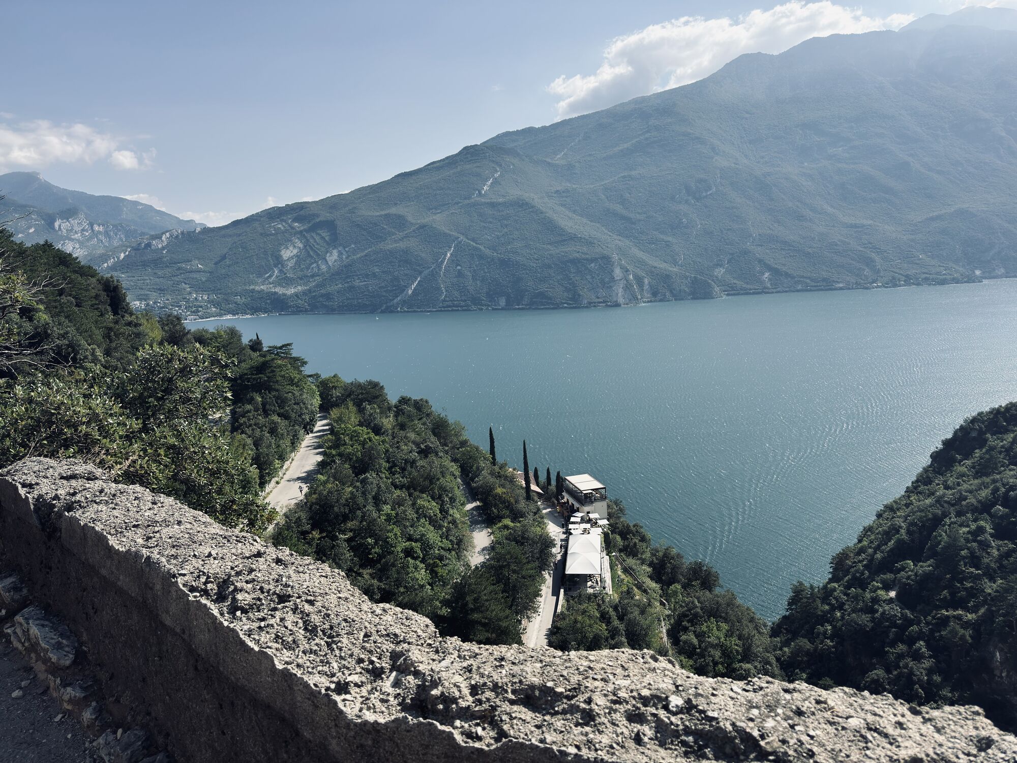
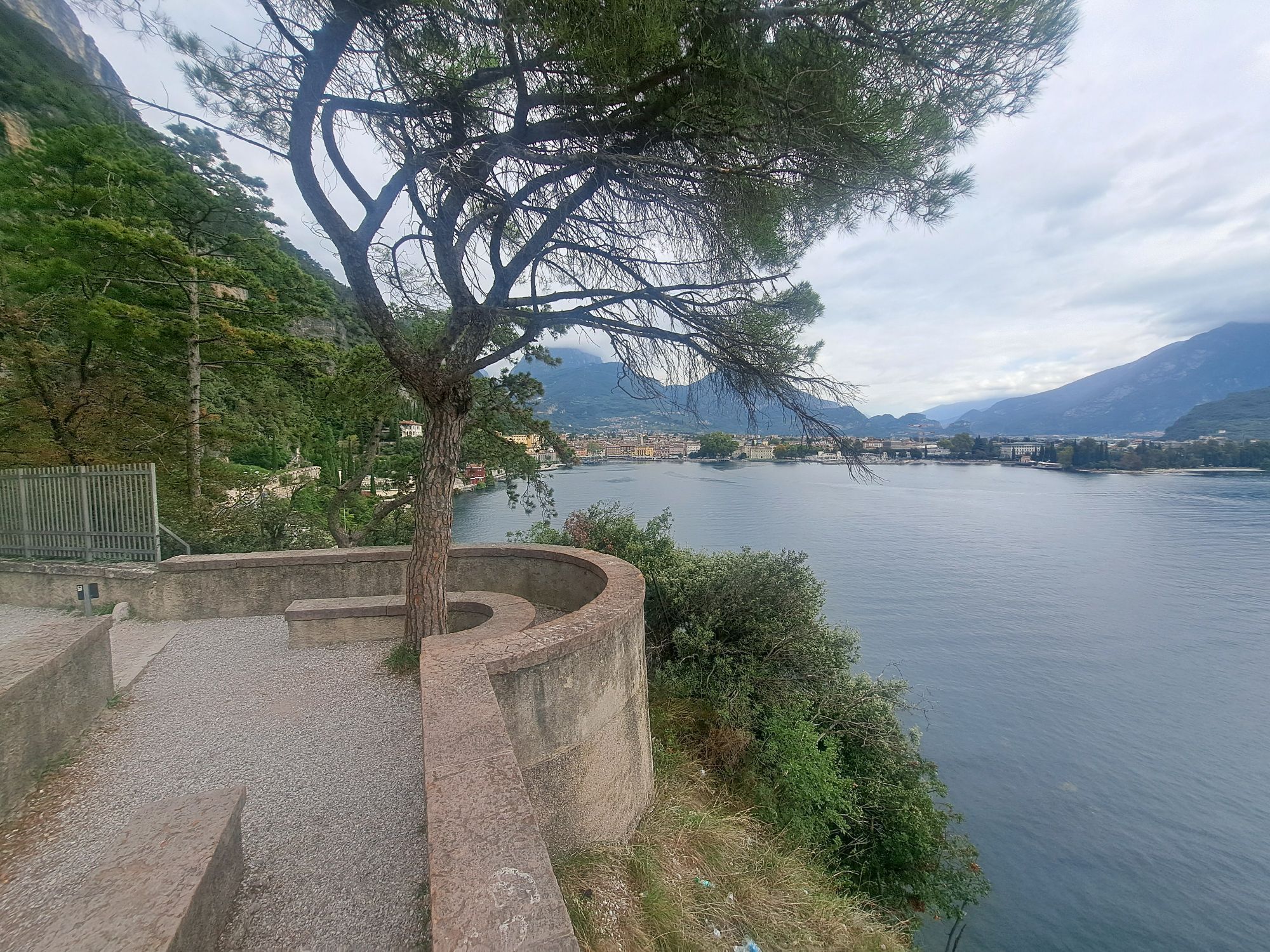
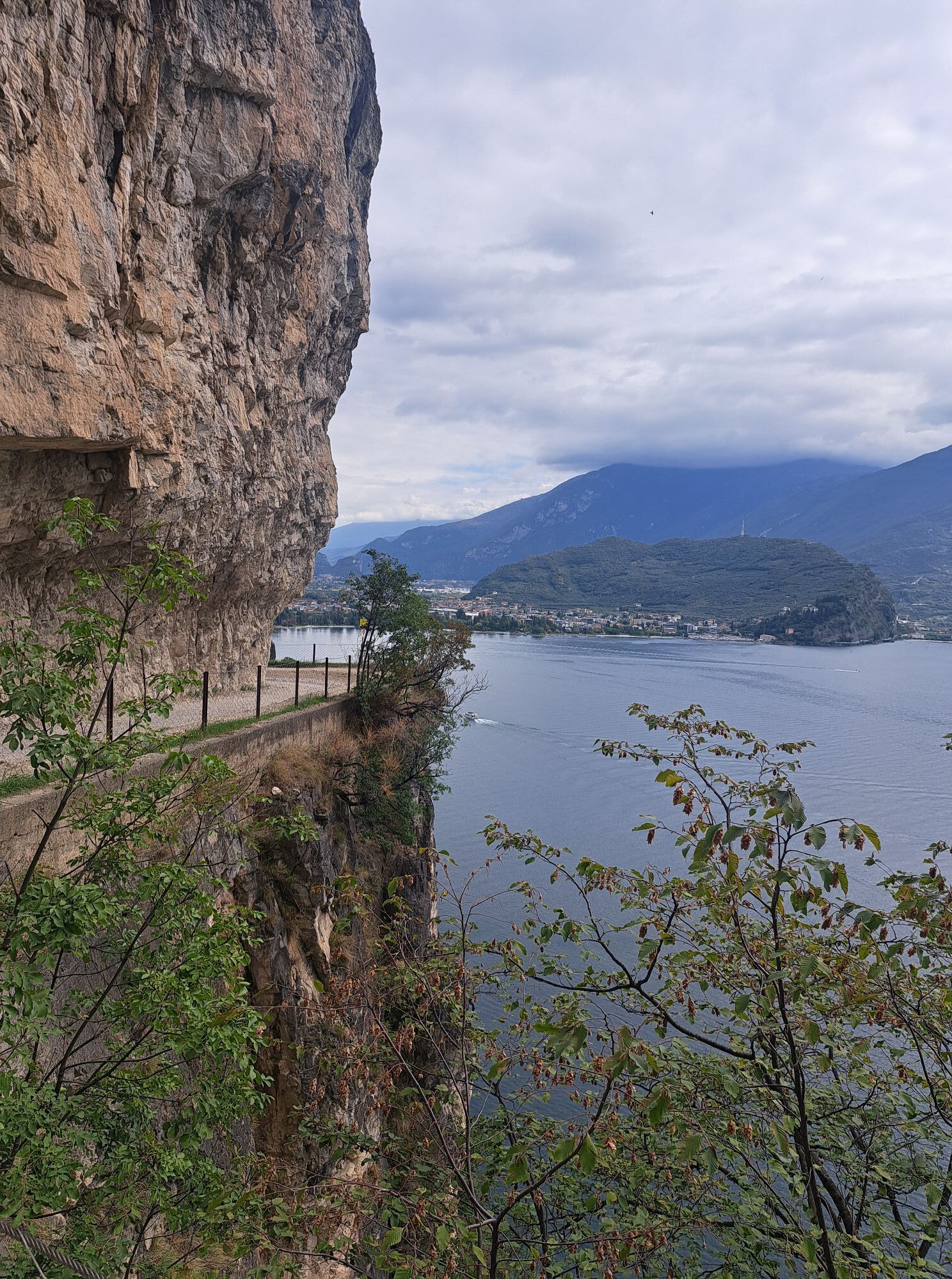
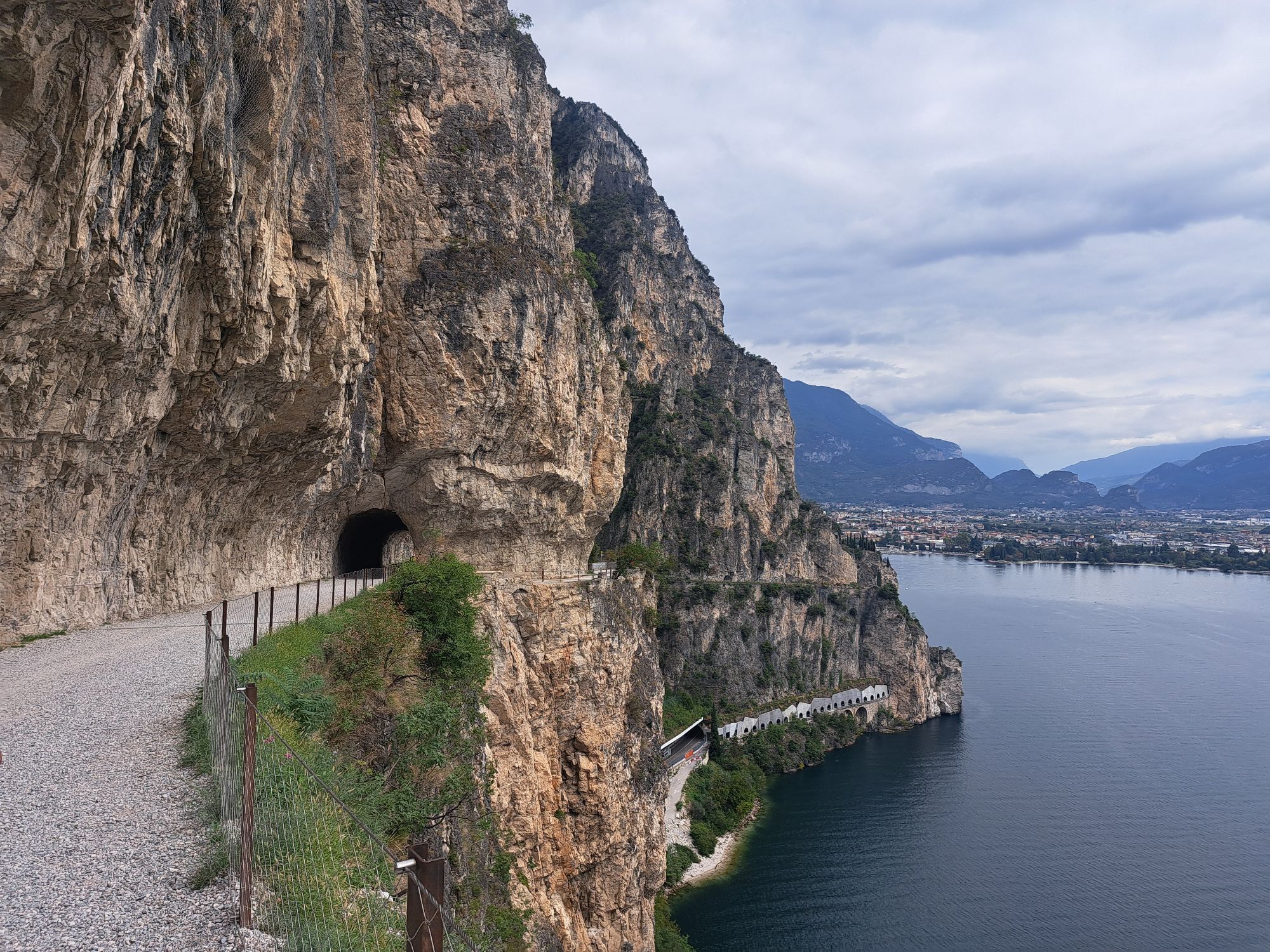
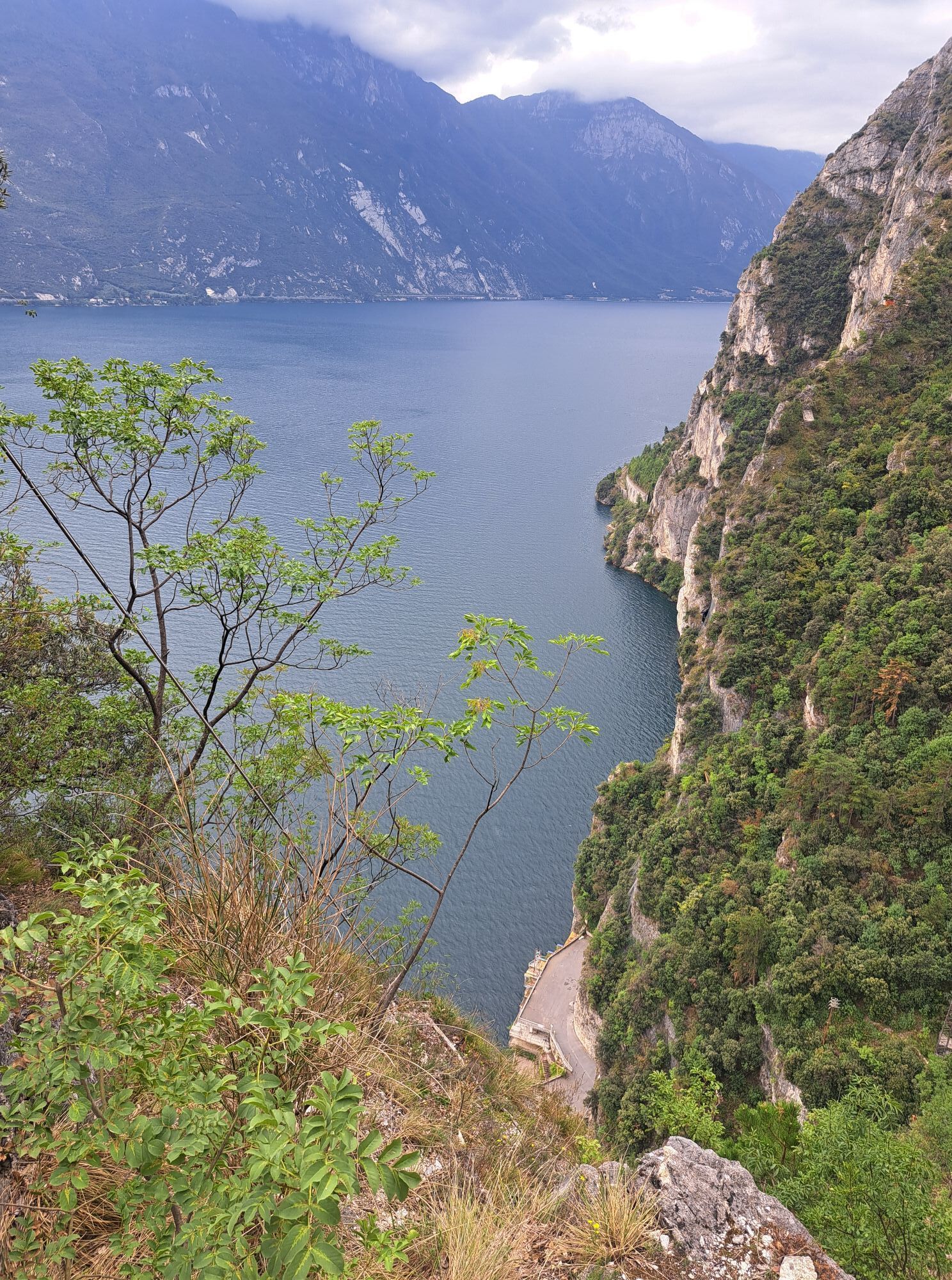
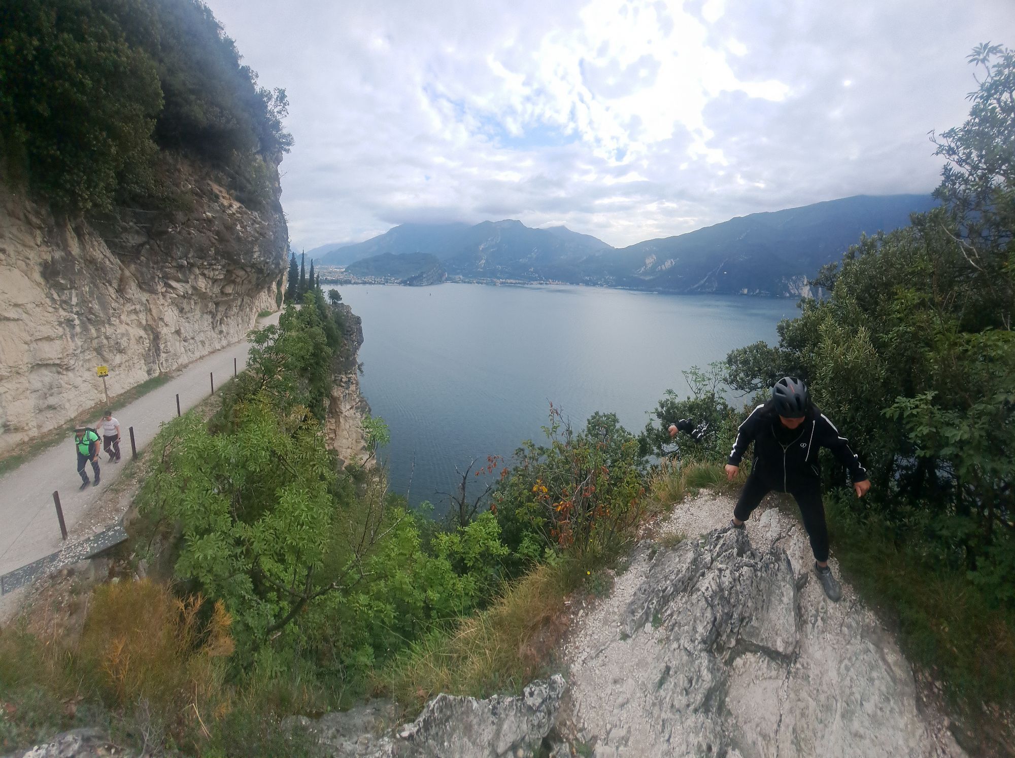
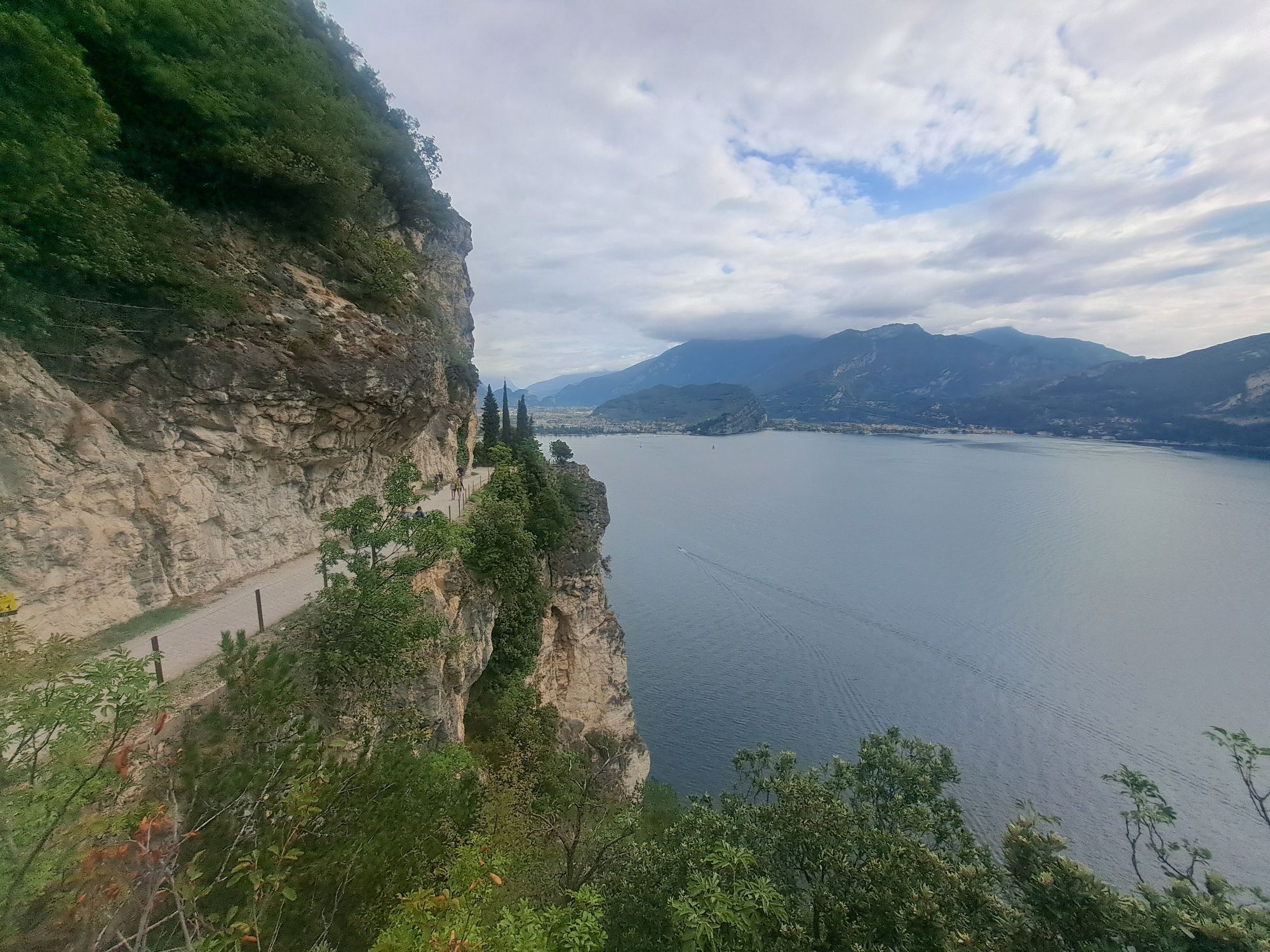
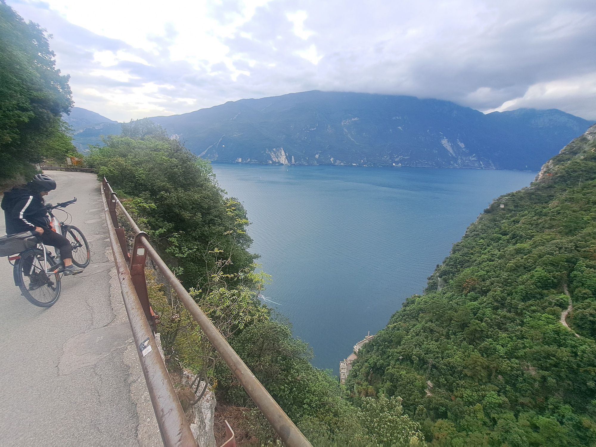
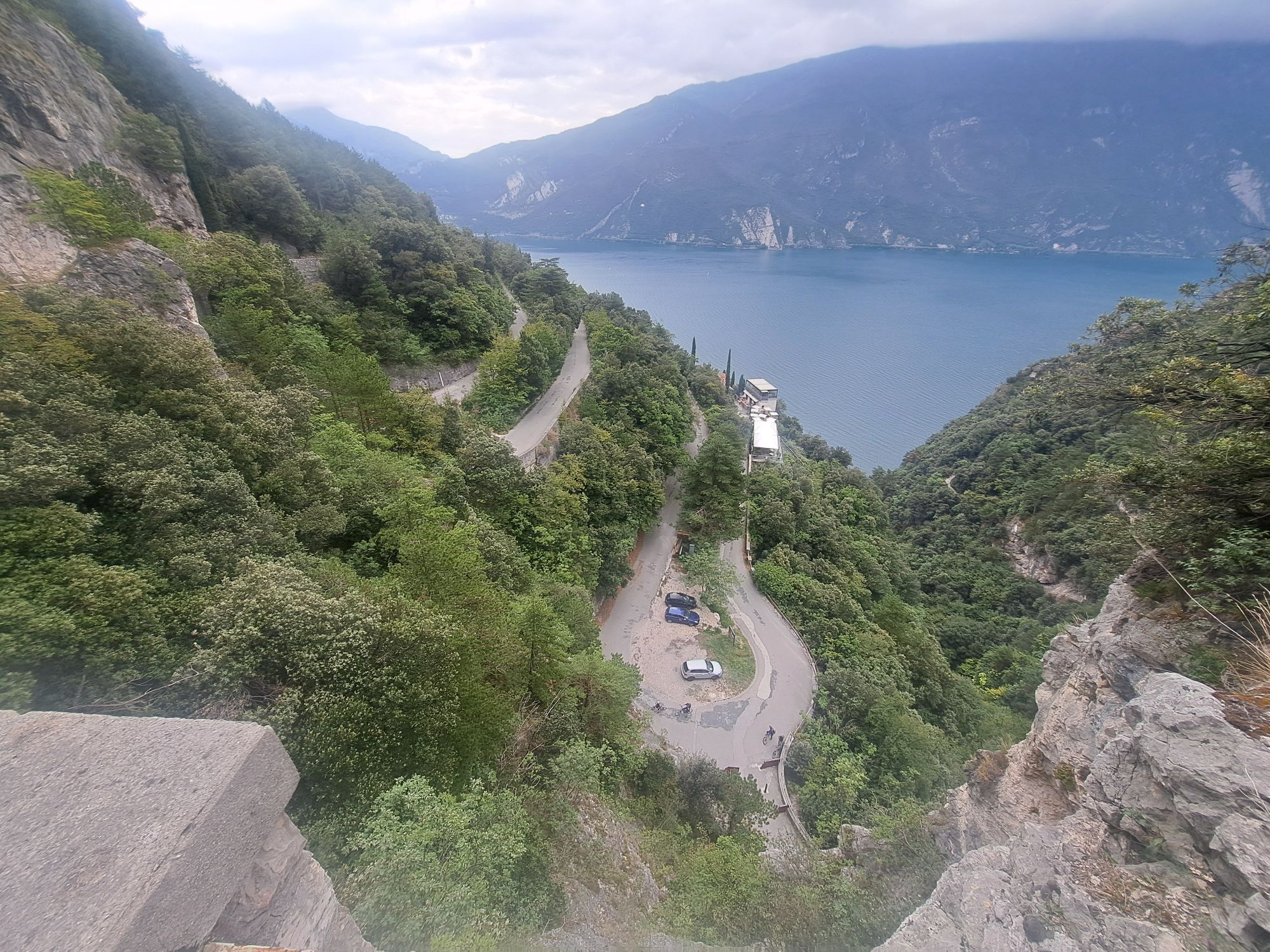
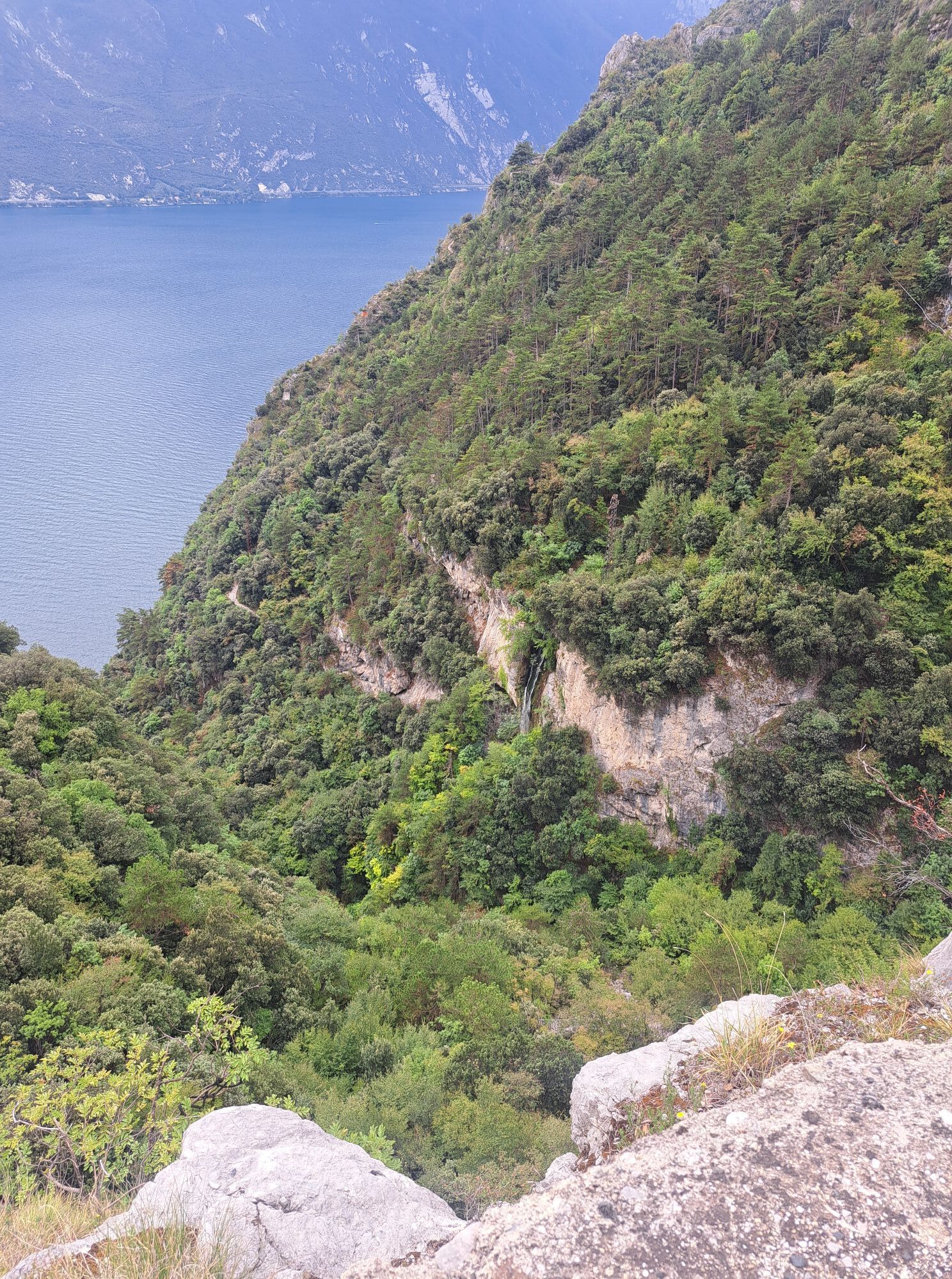
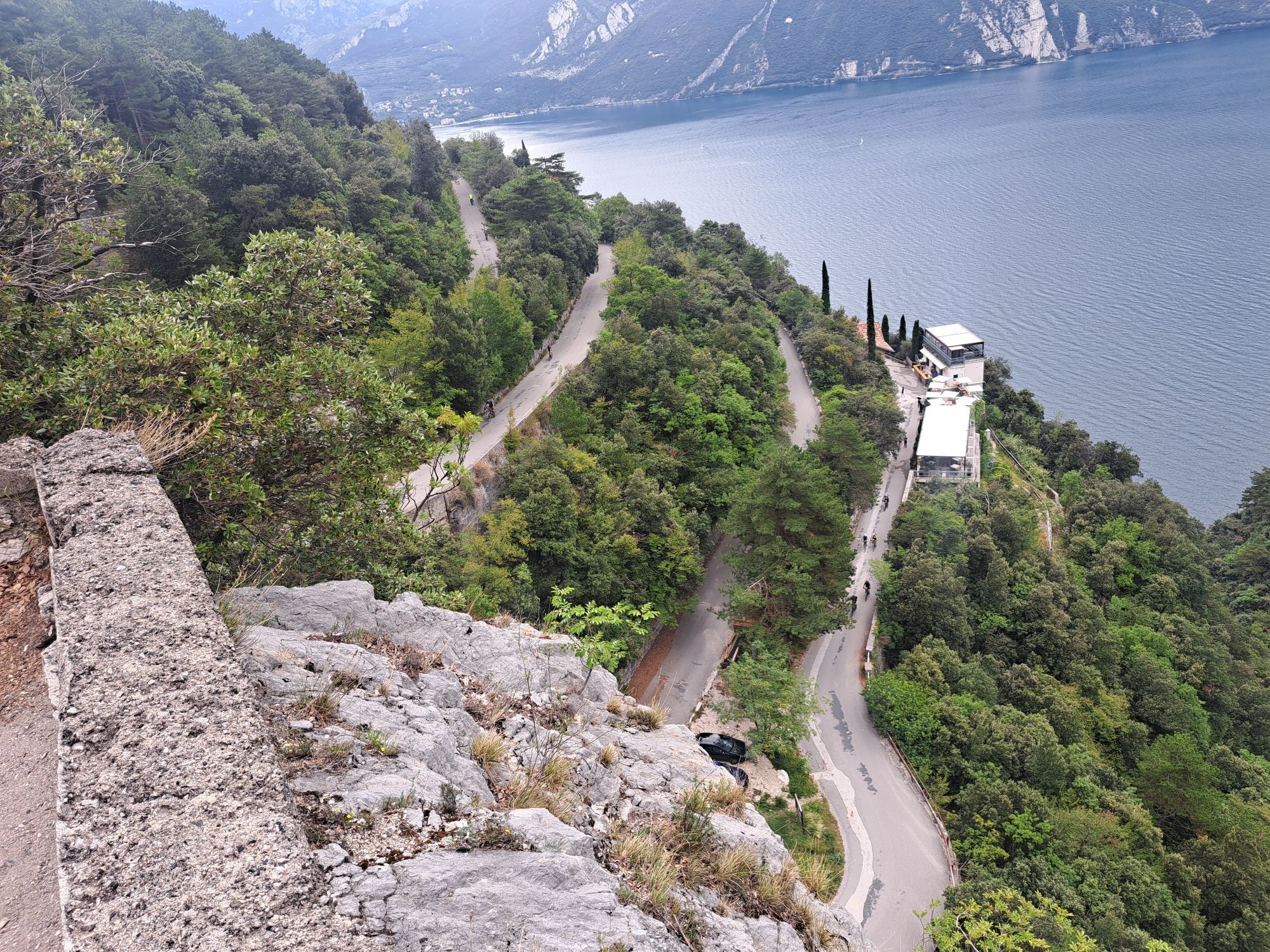
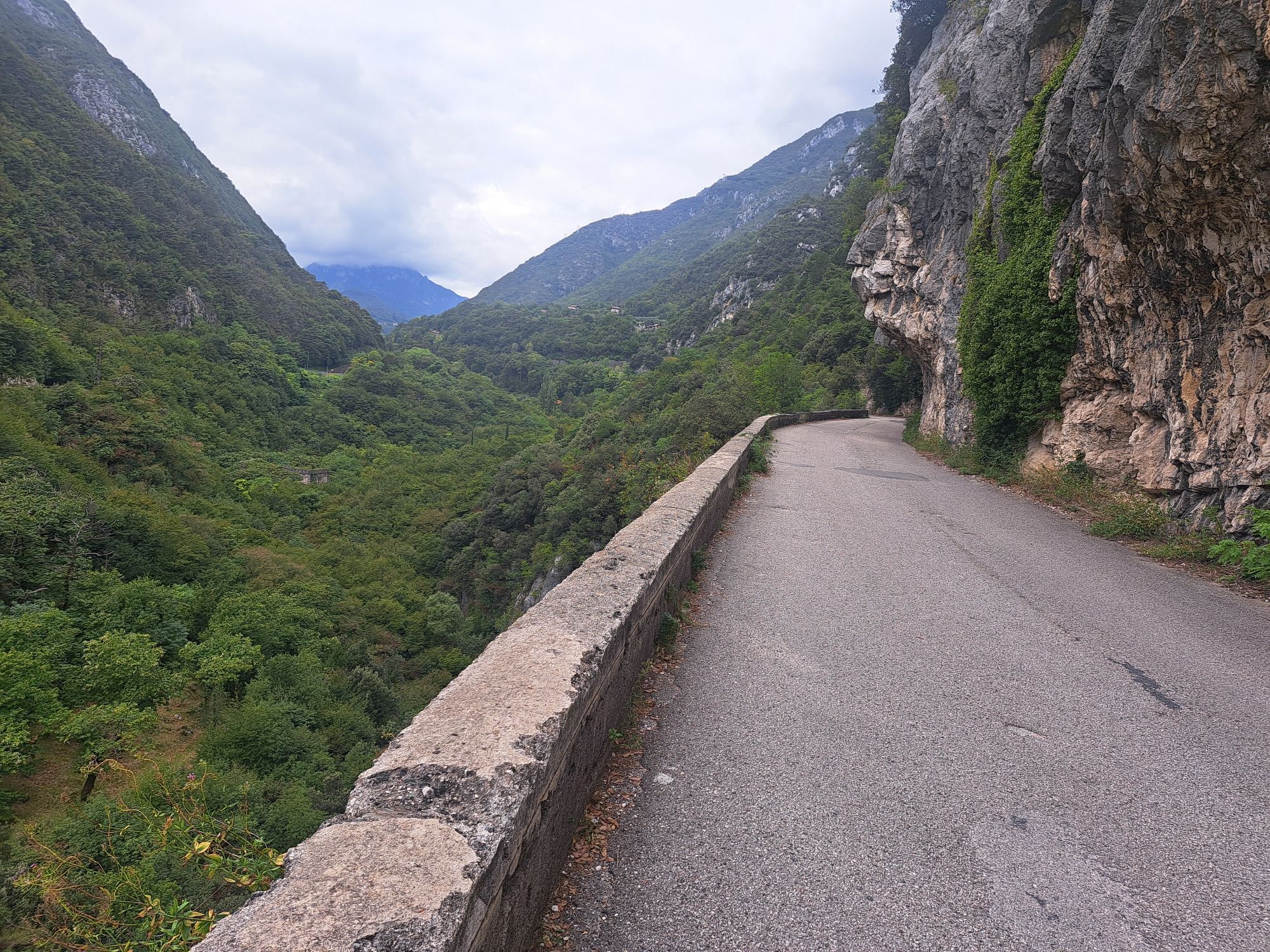
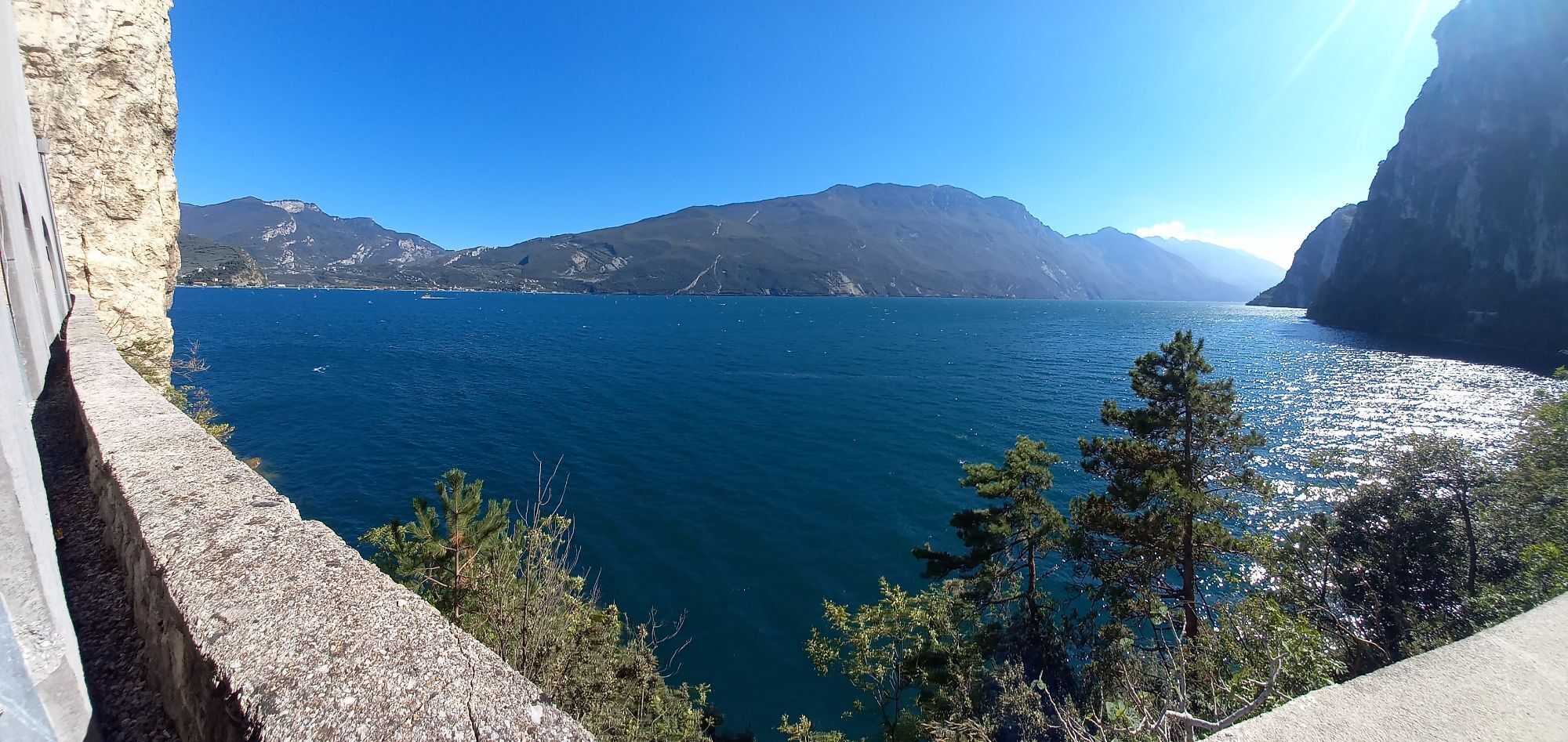
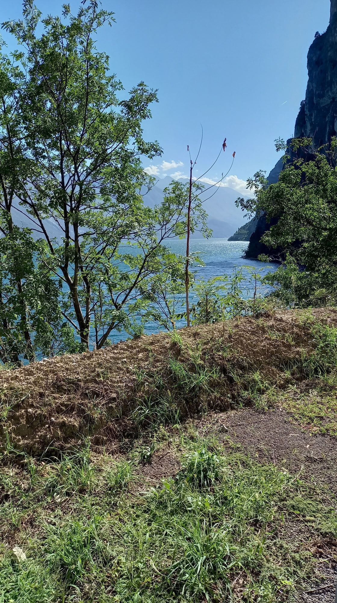
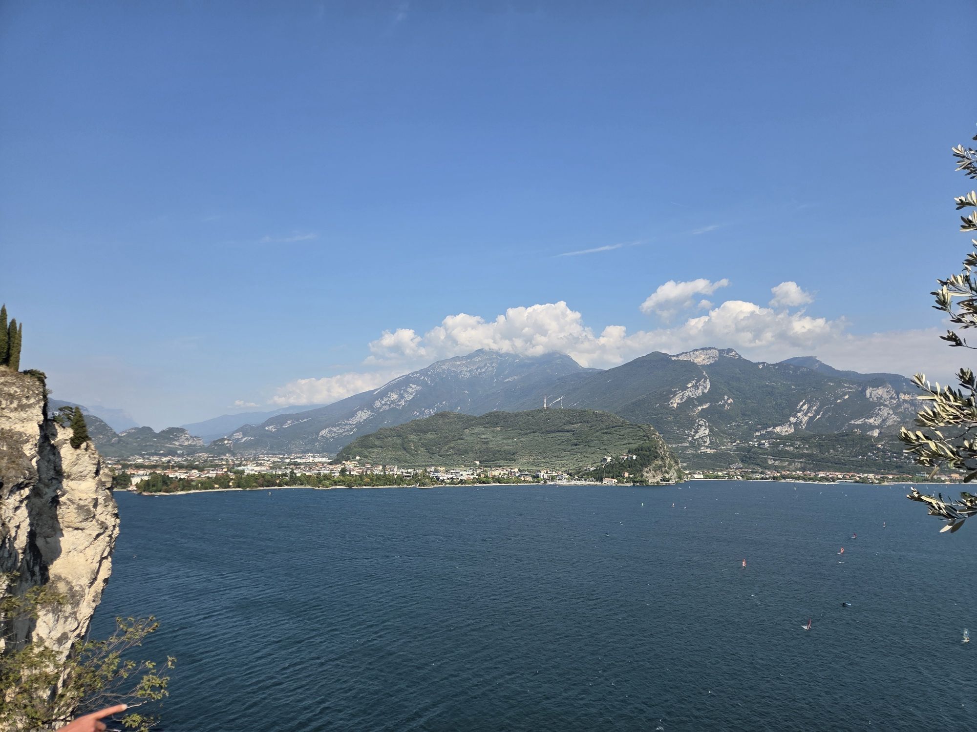
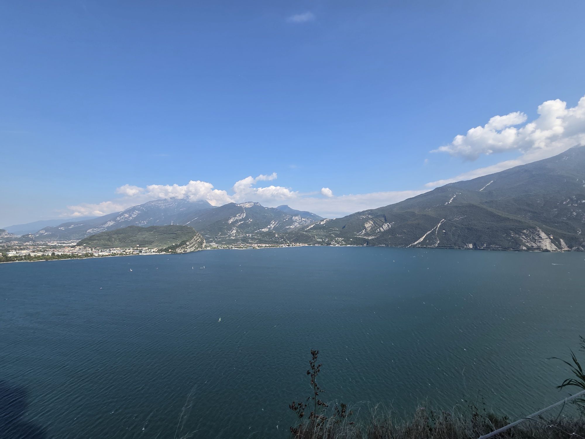
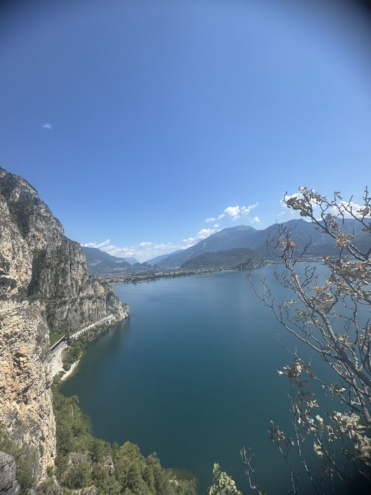
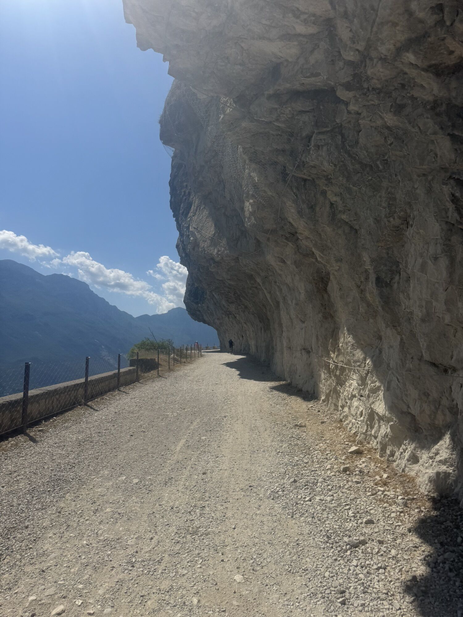
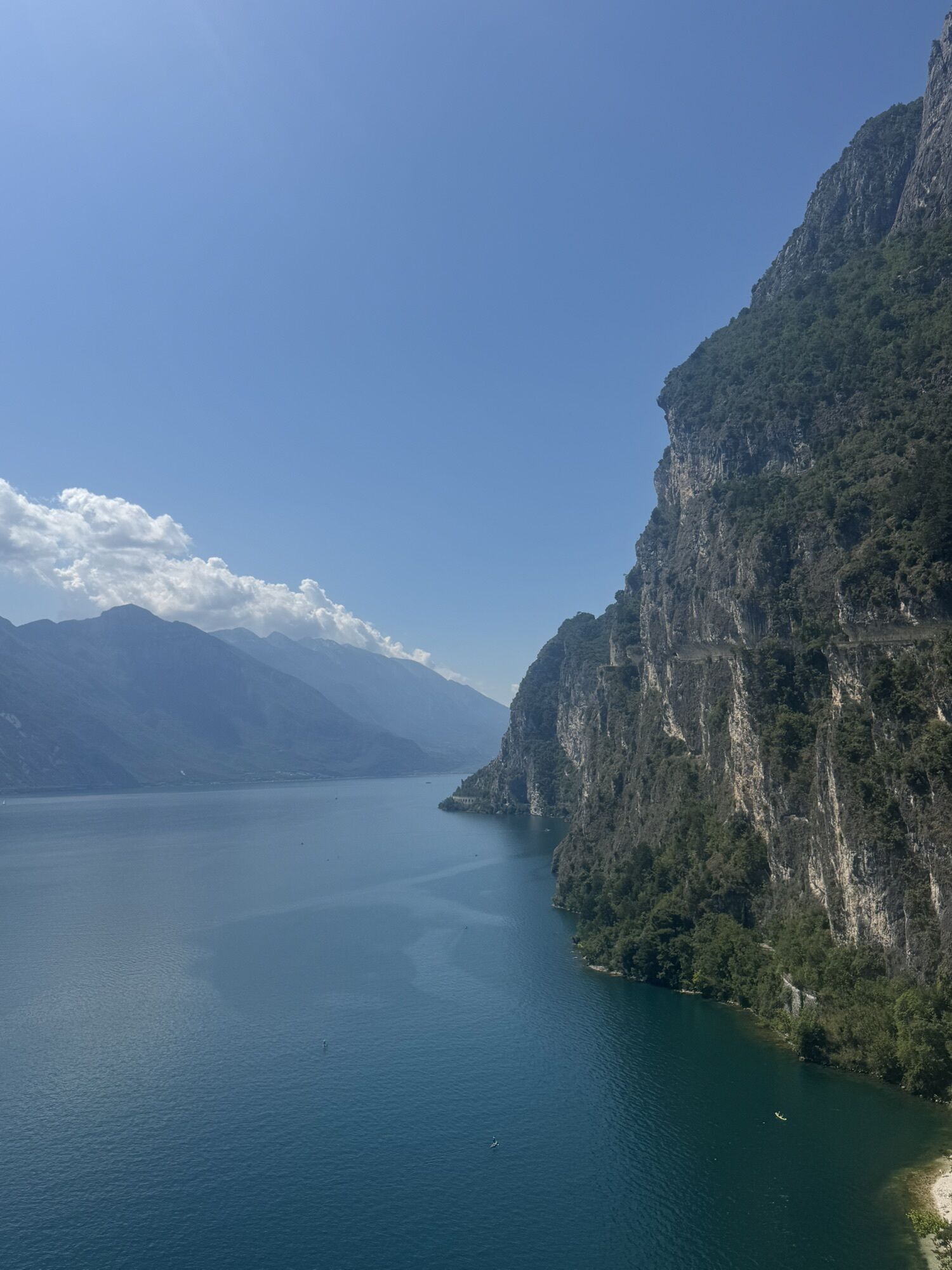
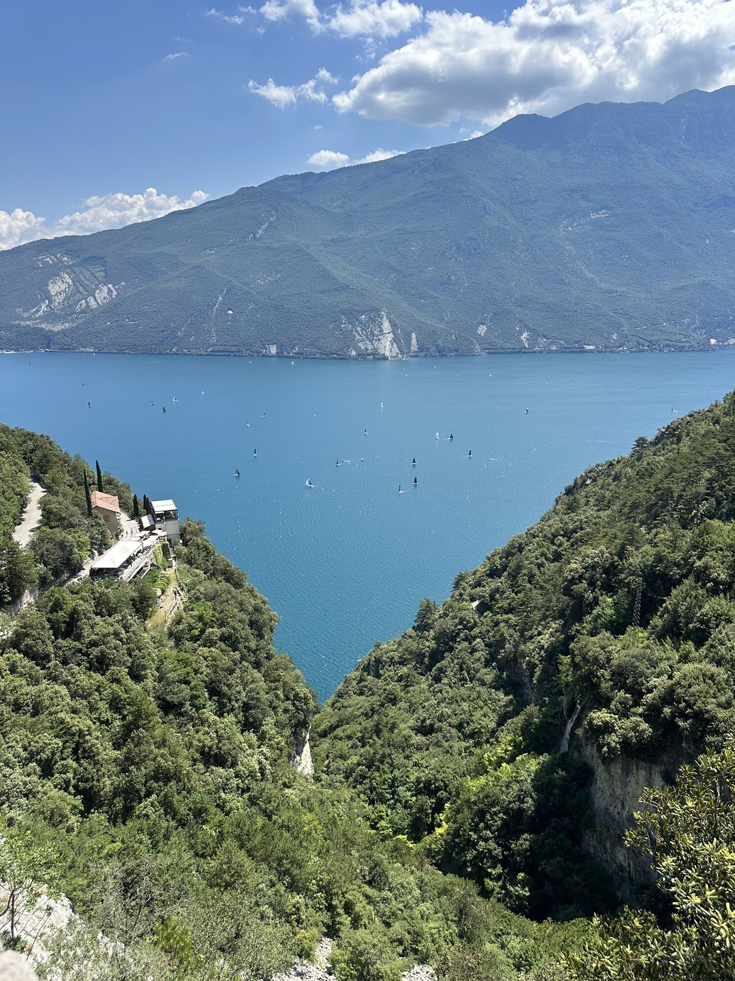
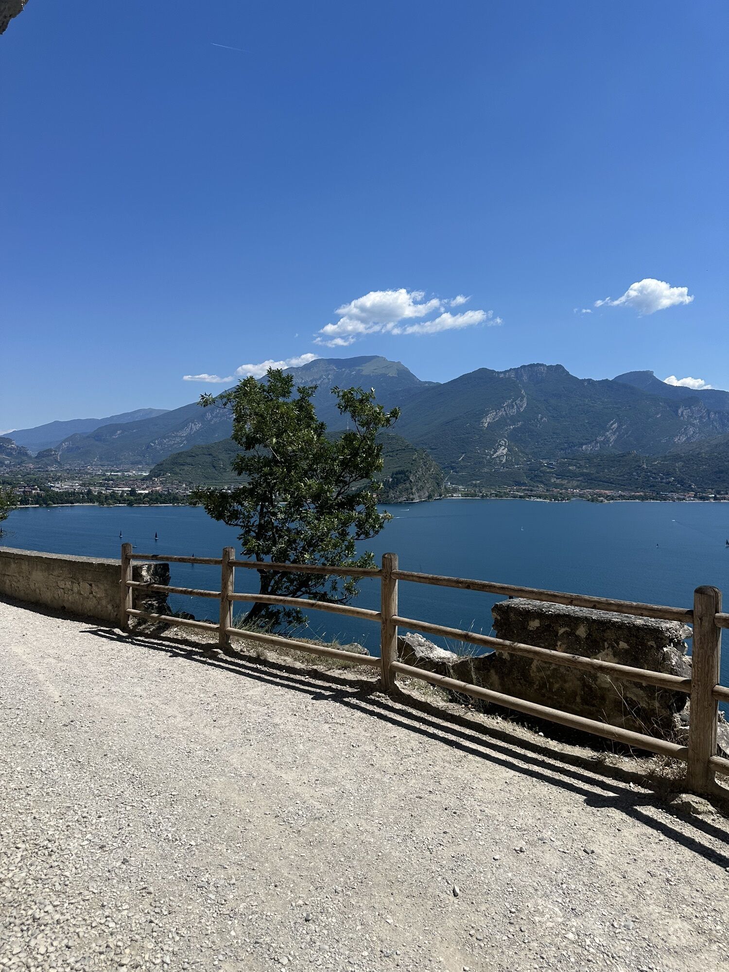
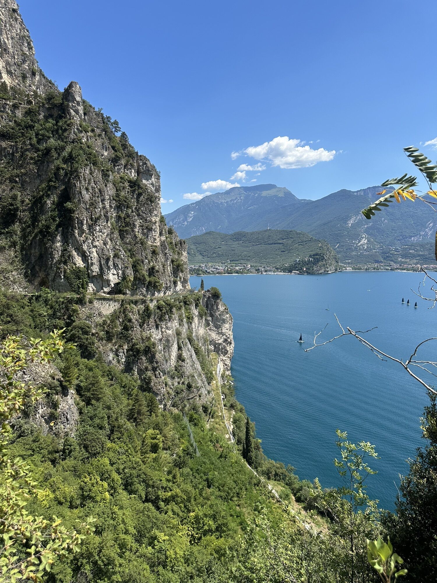
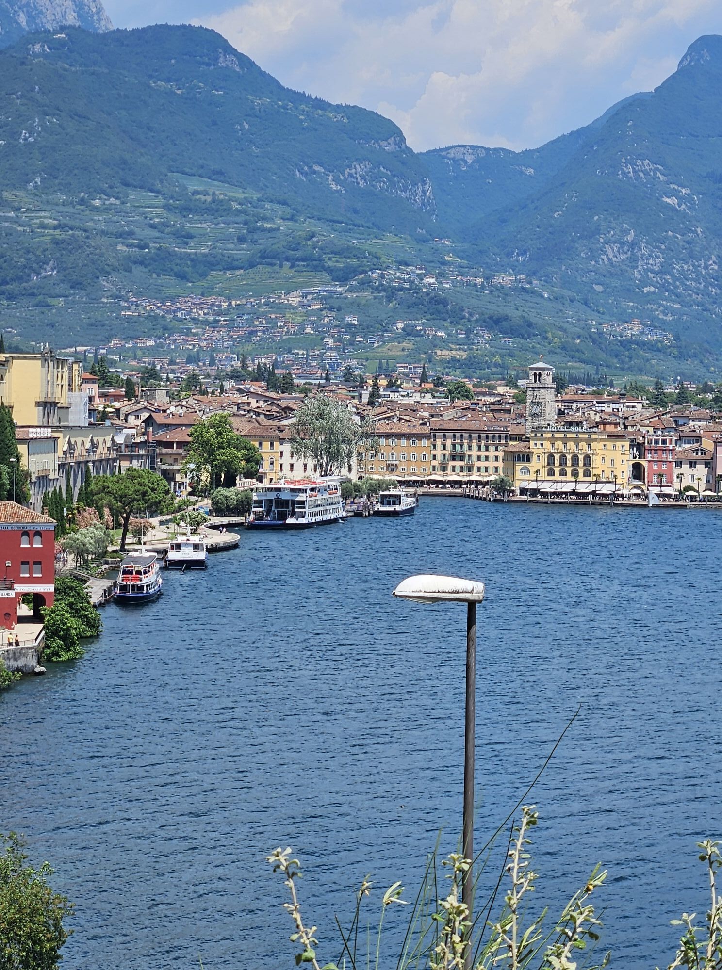
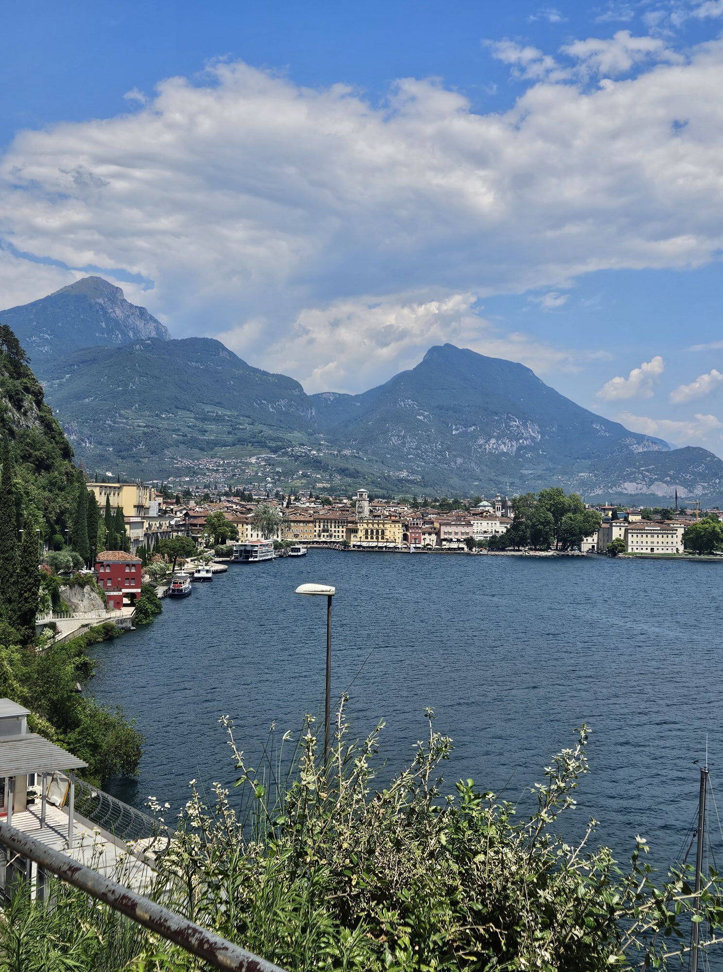
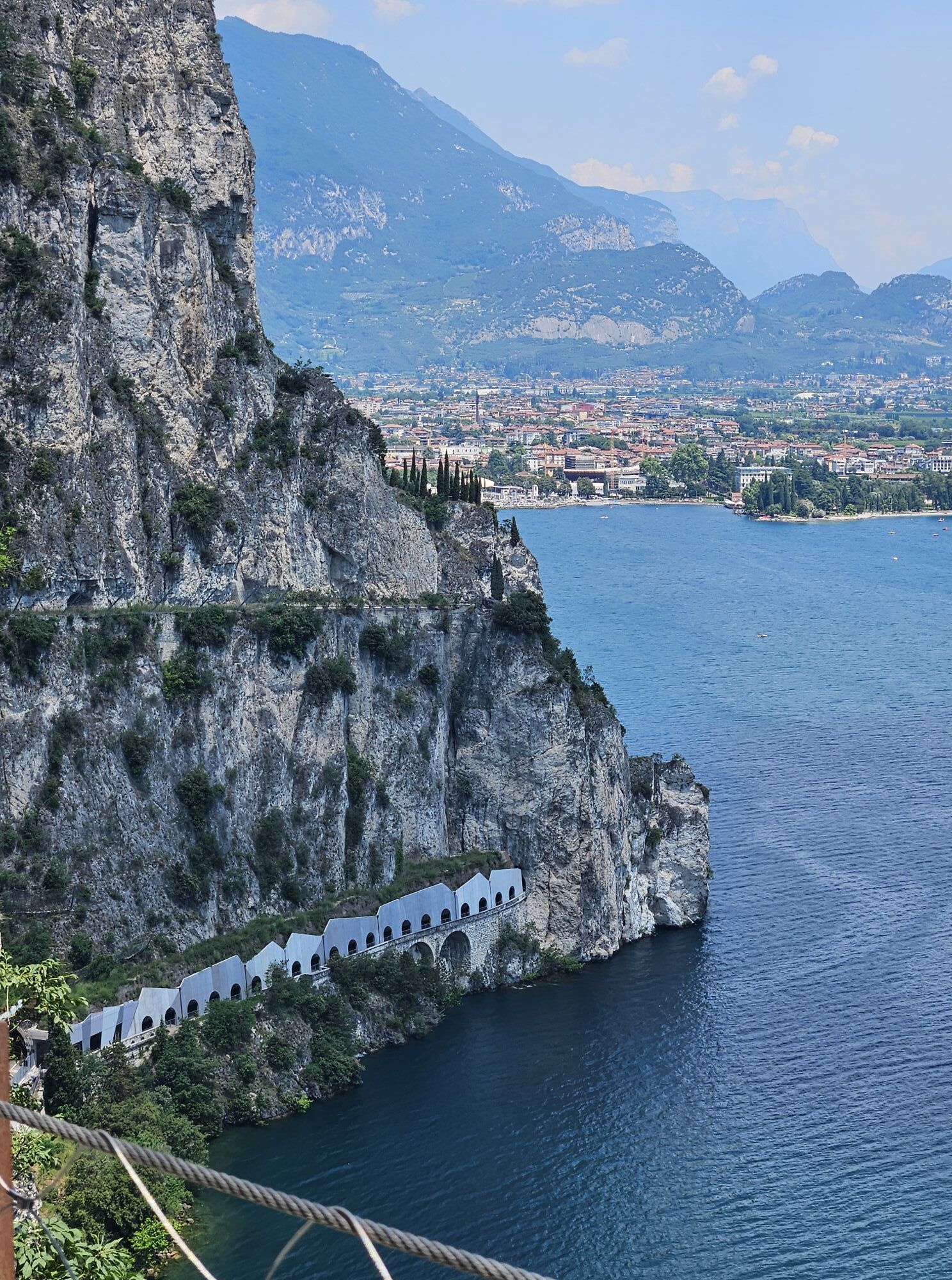
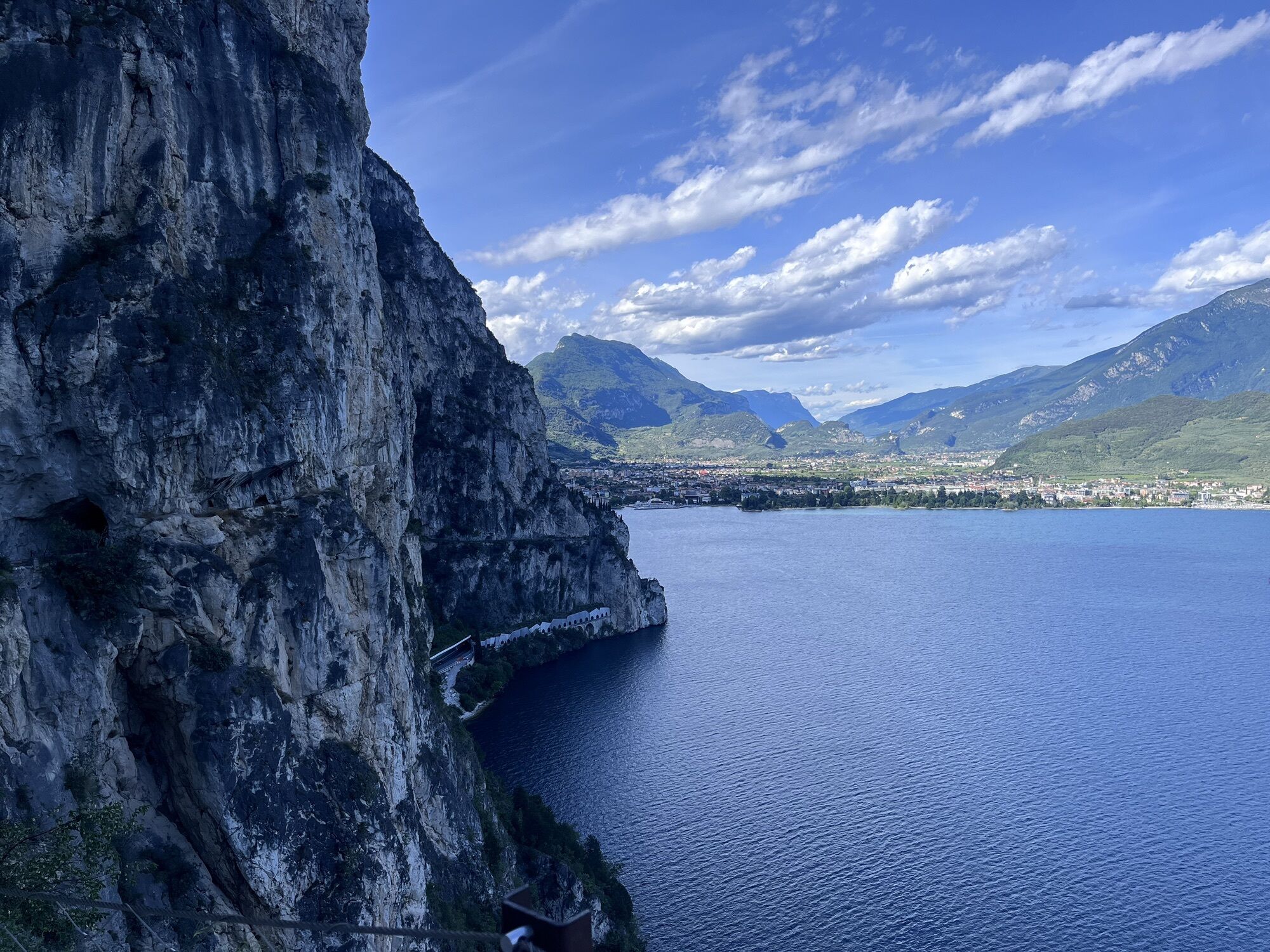
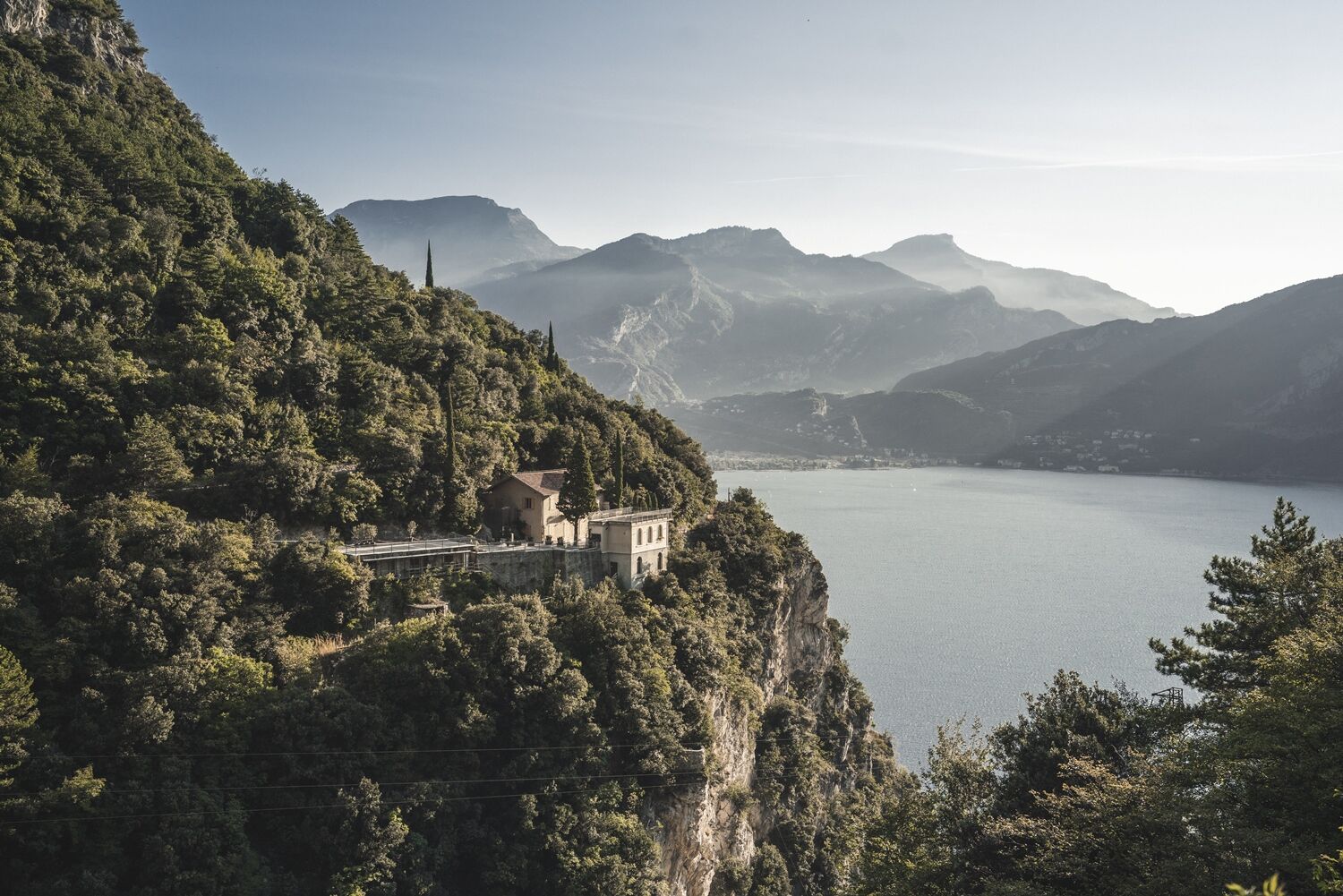
The road overlooks the northernmost part of Lake Garda and the lower Sarca valley. Monte Brione, between Riva and Torbole, and Monte Baldo can be seen in the distance. The vegetation is sparse and Mediterranean....
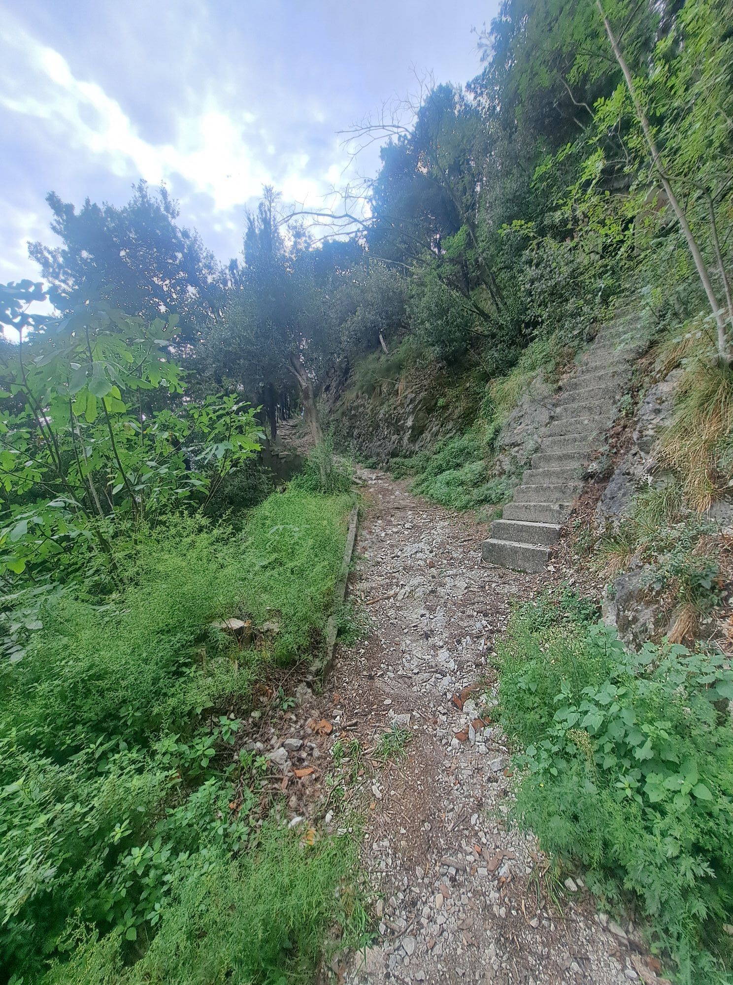
The road overlooks the northernmost part of Lake Garda and the lower Sarca valley. Monte Brione, between Riva and Torbole, and Monte Baldo can be seen in the distance. The vegetation is sparse and Mediterranean. It consists of cypresses and holm oaks that manage to grow through the rocks.
The Ponale road was paramount to hold Riva and the North Garda Lake, then at the border between the Austro-Hungarian Empire (to which Trentino belonged) and the Kingdom of Italy. Because of its strategical value to Austria-Hungary, it was at the centre of an extensive network of fortifications since 1860.
Fort Teodosio dates back to this period. It owes its name to the finding of some coins from the reign of Emperor Theodosius. The fort was built to close off the road to those coming from Ledro. The port of Riva was defended by the Bellavista battery (or della Madonnina), just a few metres above the lake. The fortifications stopped Garibaldi from invading Trentino through Riva and forced him to go through the Giudicarie and Ledro.
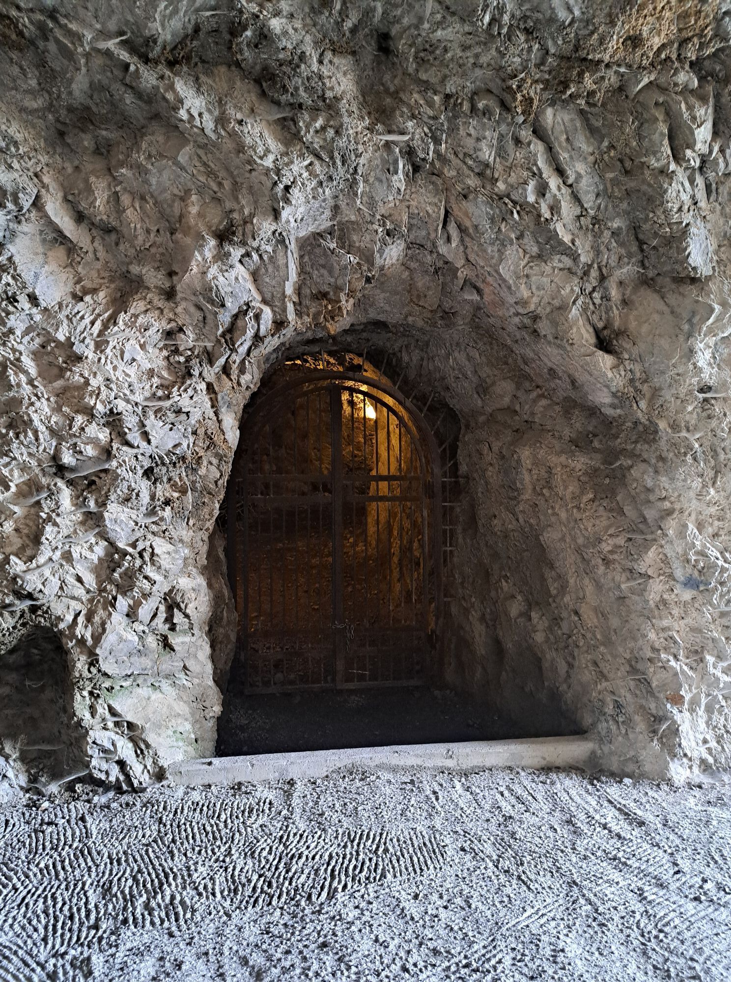
The construction of the Tagliata (barrier) del Ponale began in 1904. It was part of a defensive plan put in action by the Austro-Hungarian Army in the whole of Trentino. The Tagliata is a network of tunnels and passageways excavated in the rock. It starts at the height of the seventh tunnel coming up from Riva (150 m / 500 ft) and reaches down to the lake. From the road, embrasures and doors can still be seen. The Tagliata guaranteed Austria-Hungary the control of Riva throughout the First World War. Excavations did not stop until 1918.

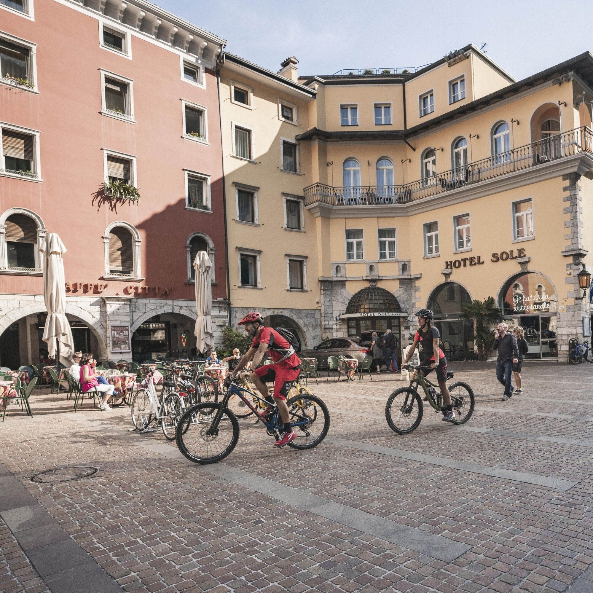
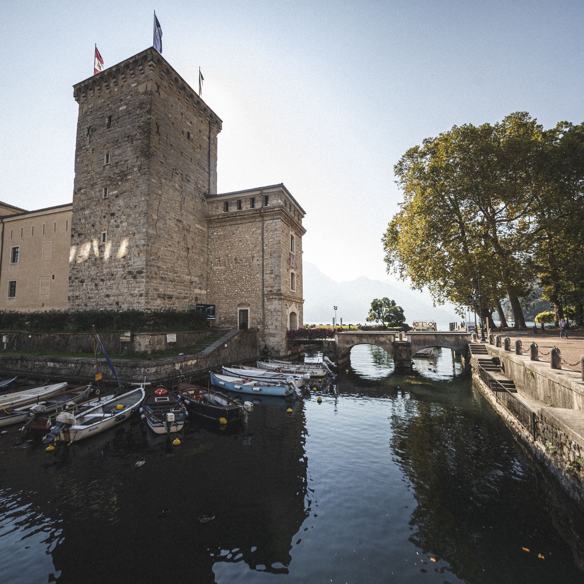
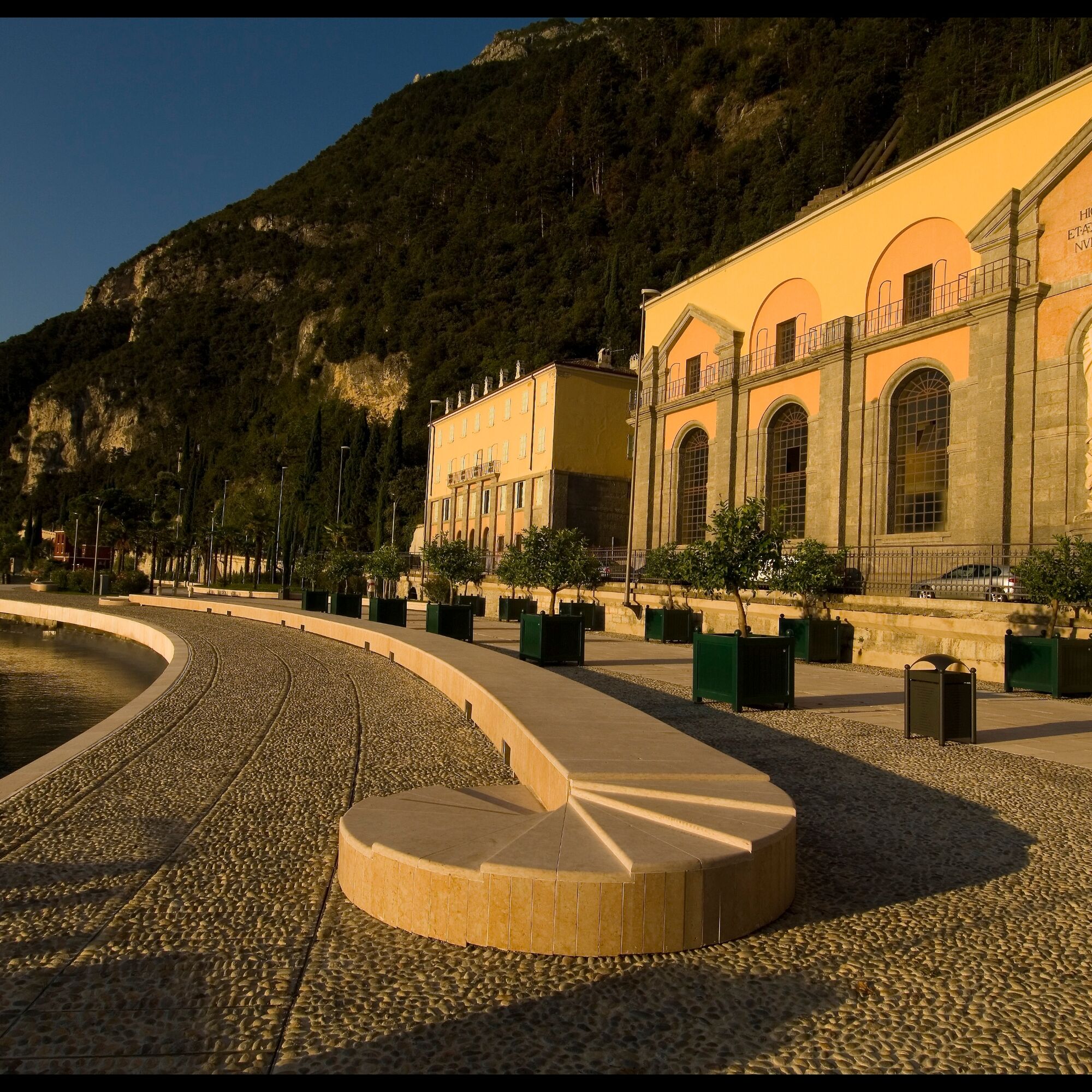
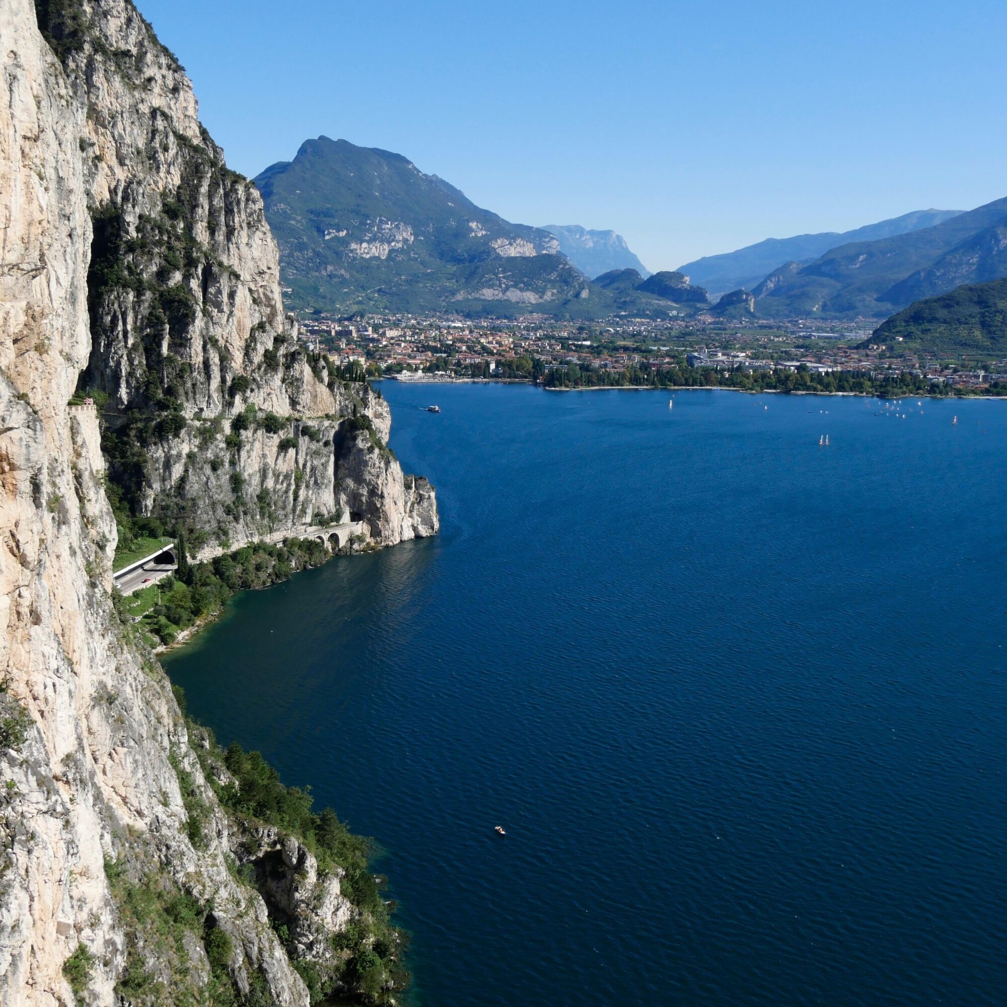
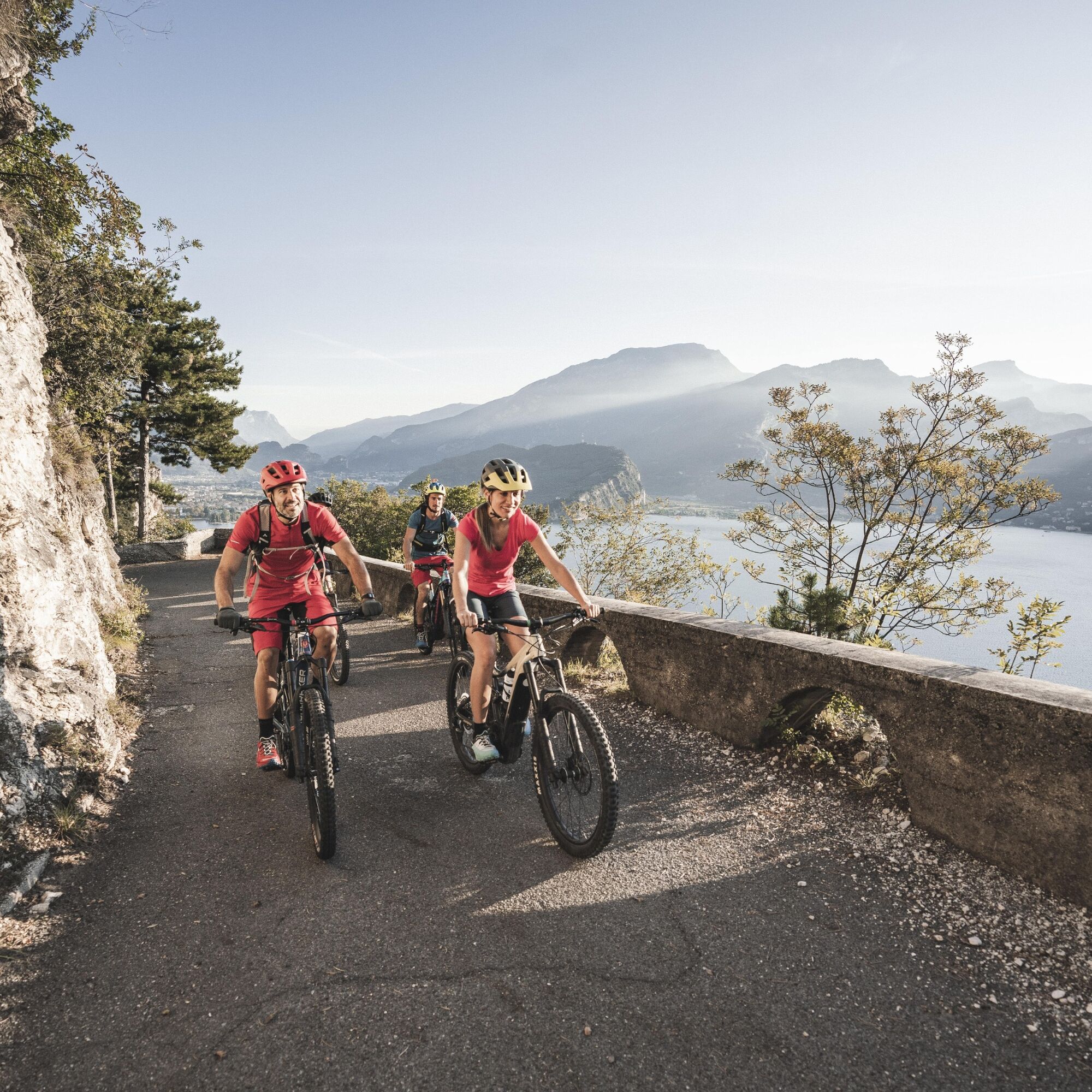
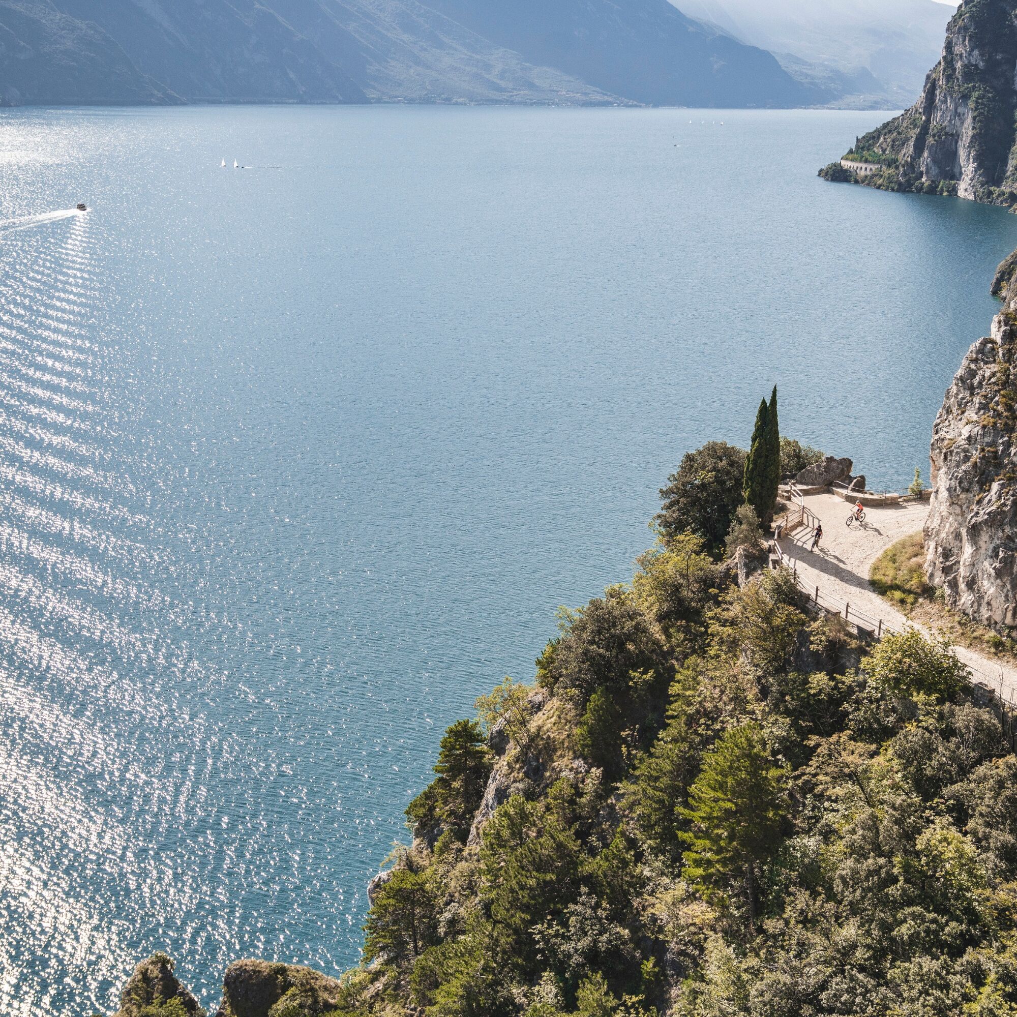
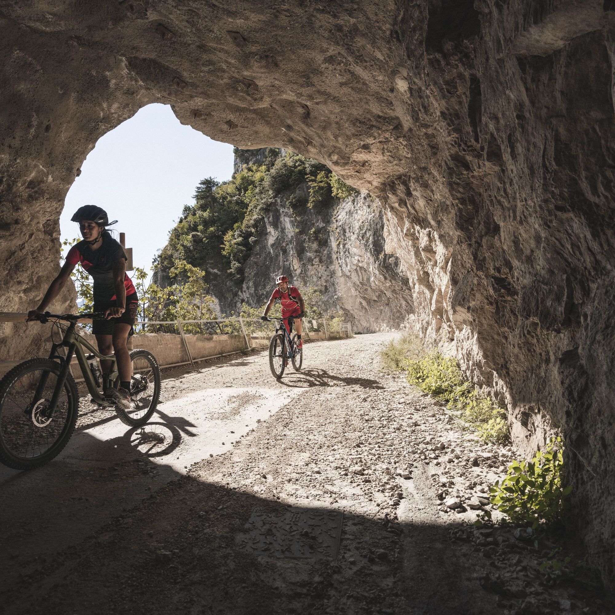
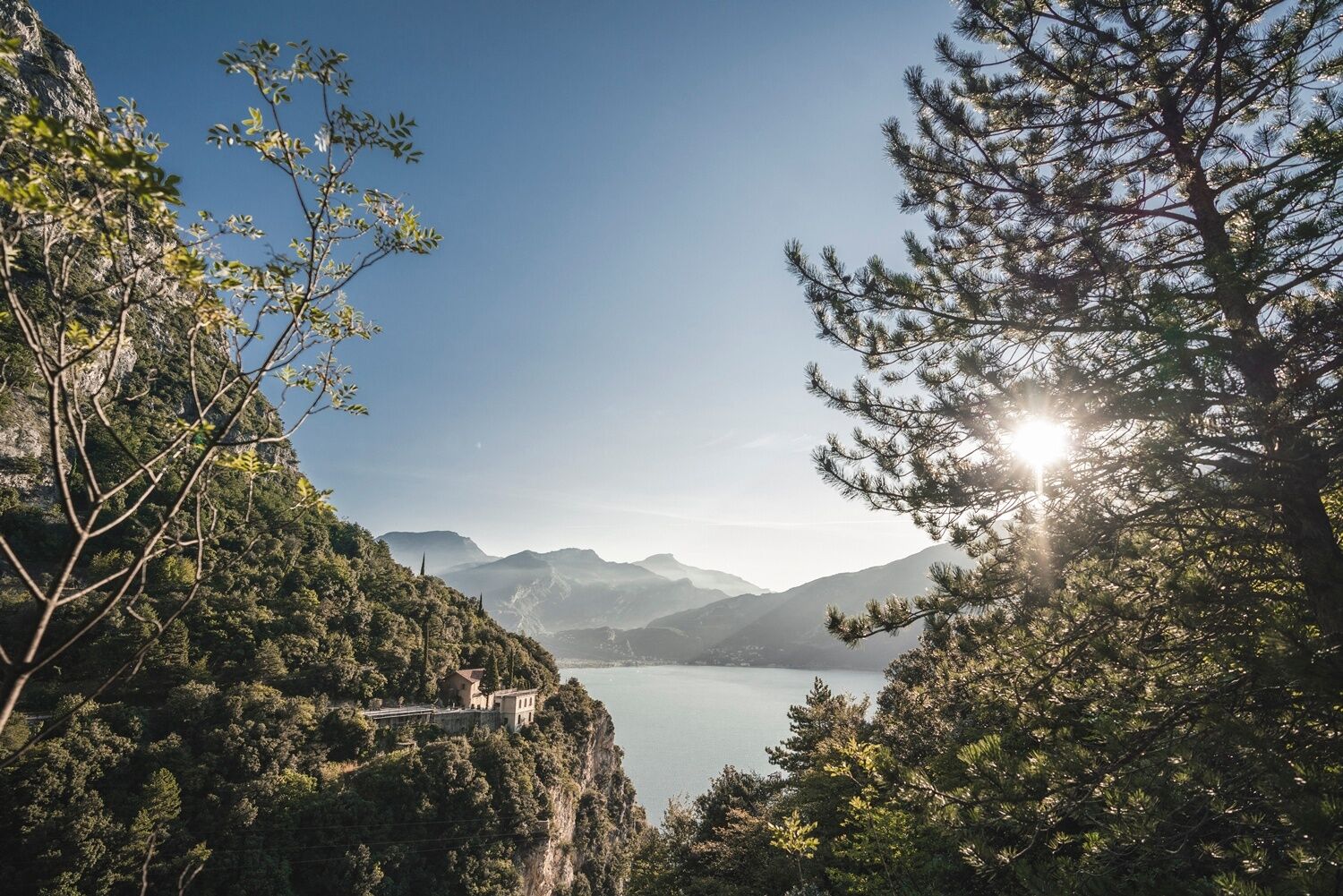
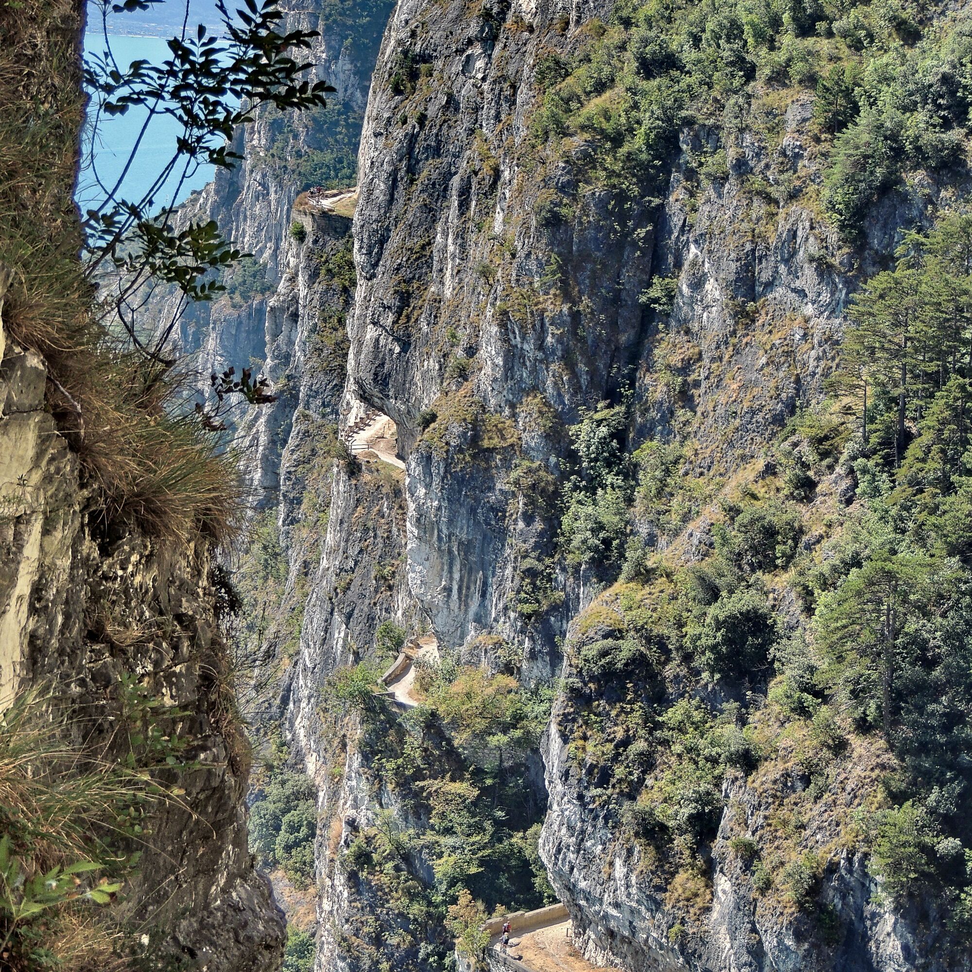
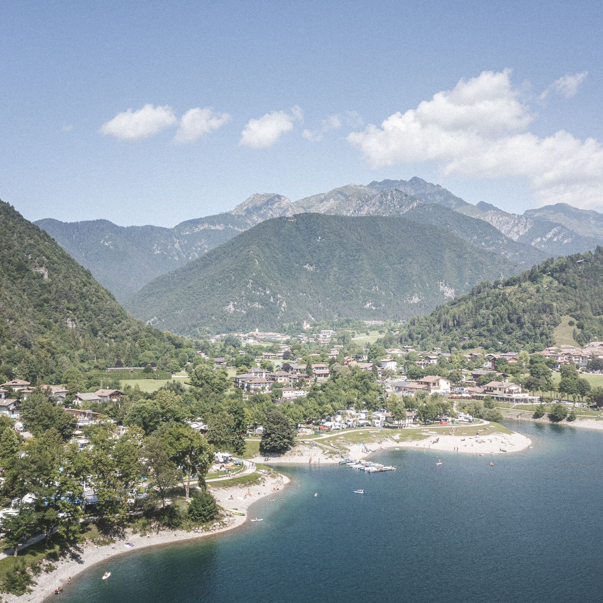
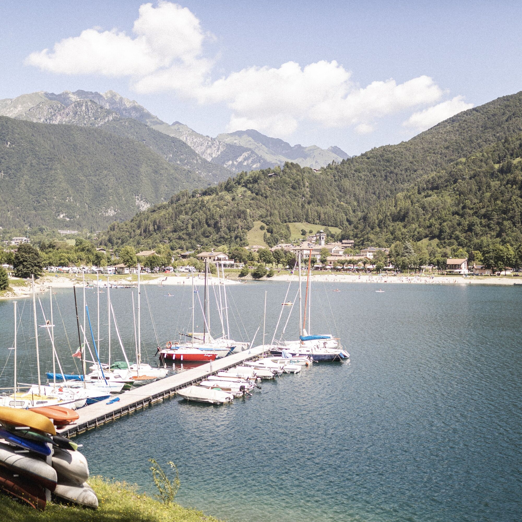

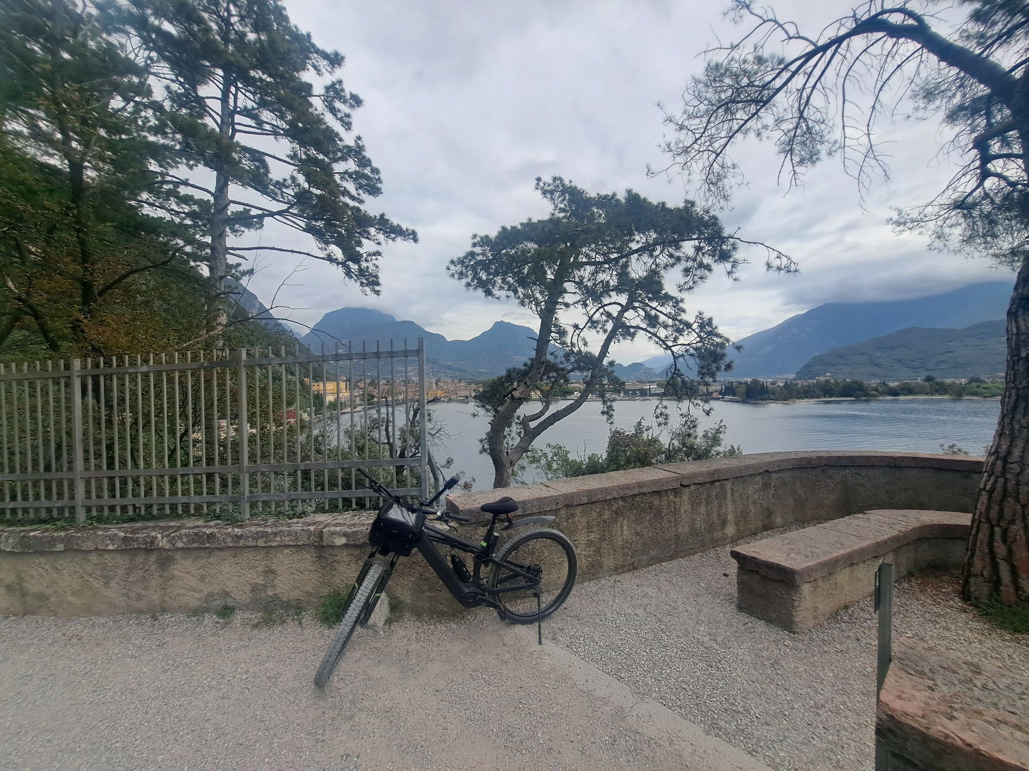
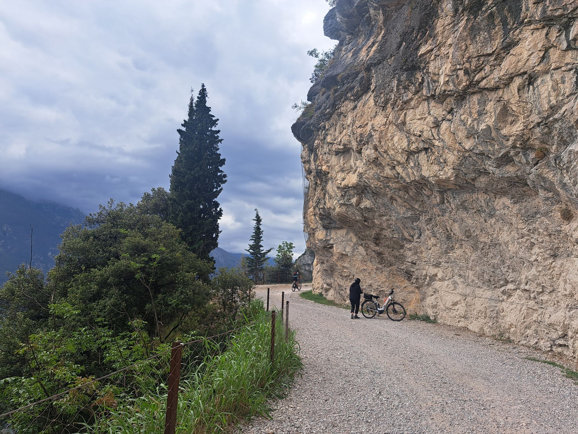
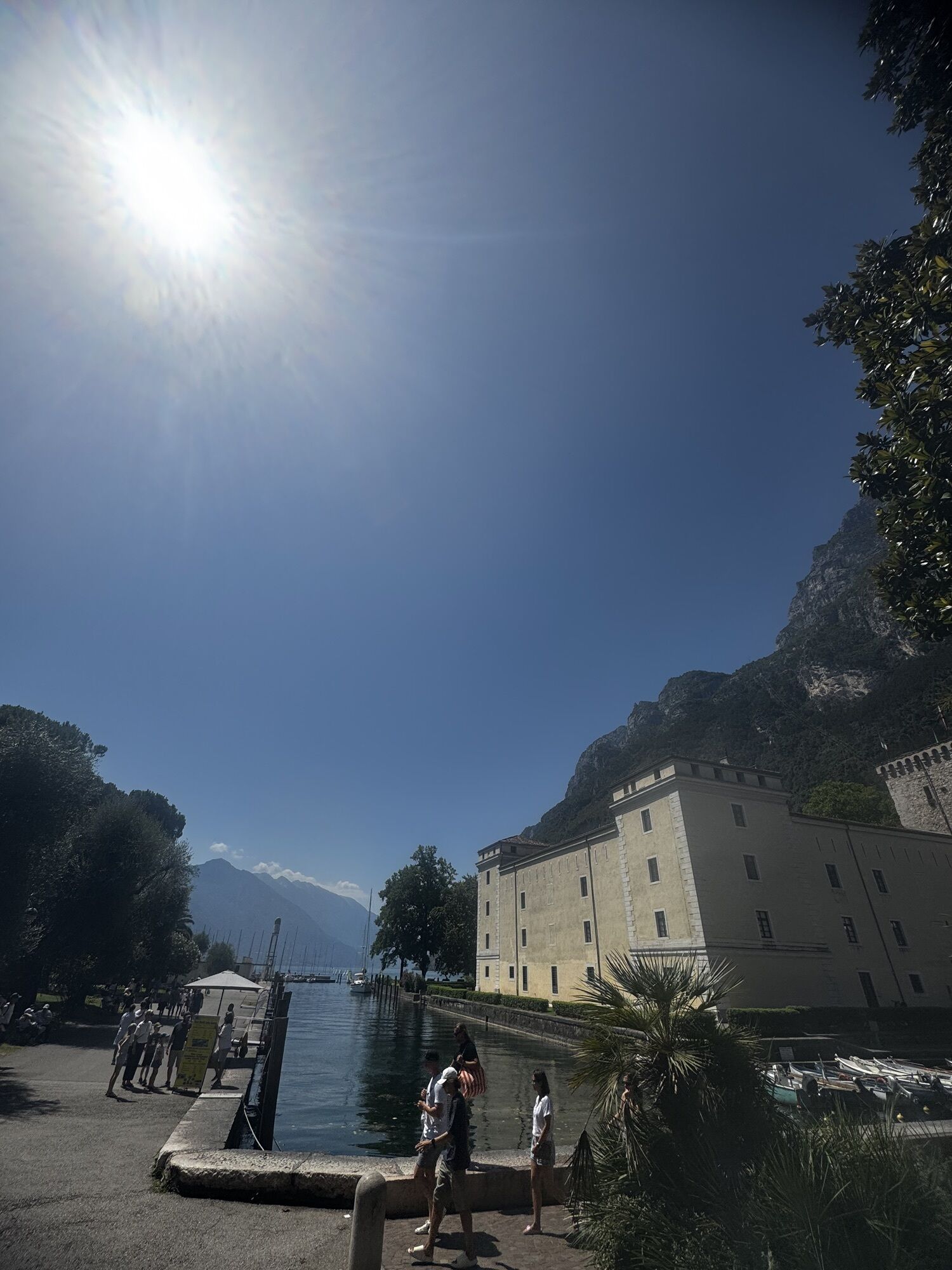
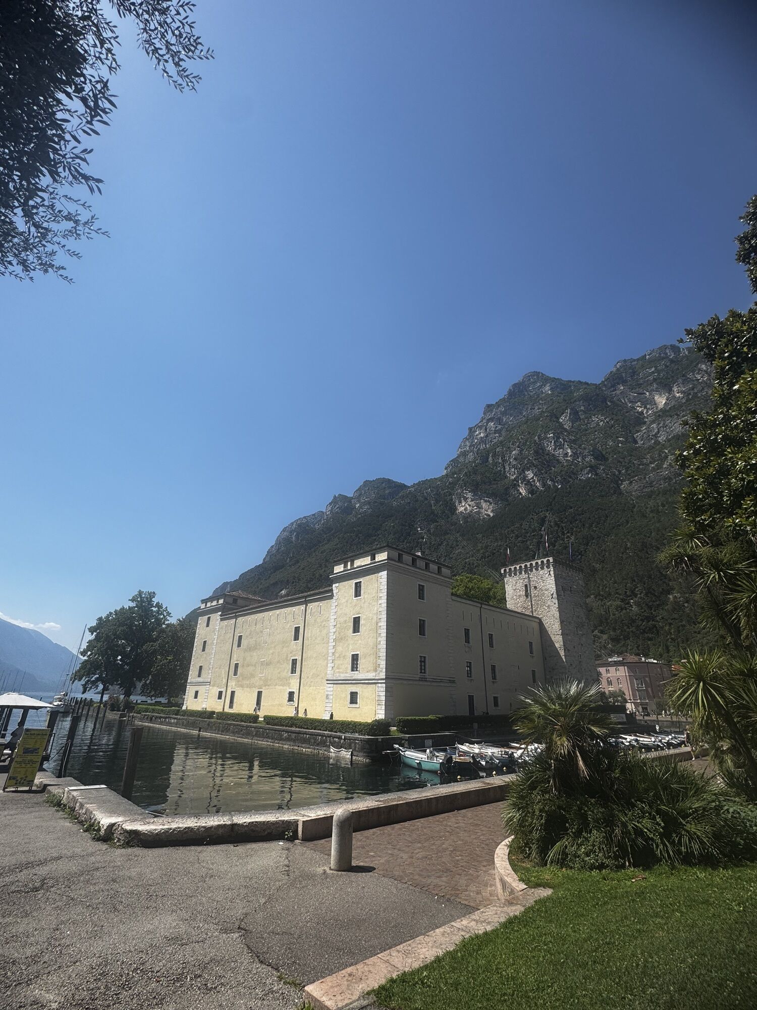
The trail starts out on the lake front in Riva del Garda, in front of the Garda Trentino tourist information office. Take the cycle path which leads along Viale della Liberazione towards the centre of Riva. Pass the imposing structure of the Rocca and Piazza III Novembre, coming to the main road Gardesana Occidentale at the harbour. From here, follow the cycle path, which leads to the start of the famous Ponale Trail. This stretch of the route, on a dirt road, has an incomparable panorama.
Without any alternative trail suitable for a bike we come to the end of the dirt road at the Ponale Alto Belvedere snack bar. At the nearby junction, keep right in the direction of Lake Ledro. Before the tunnel, turn left to cross the valley and the torrent avoiding the main road. Once on the road leading to Pregasina, go to the right and then, before the bridge, take the little road on your left. The trail to follow to get to Lake Ledro is clear. Cycle through Pre and Molina as far as the lake.
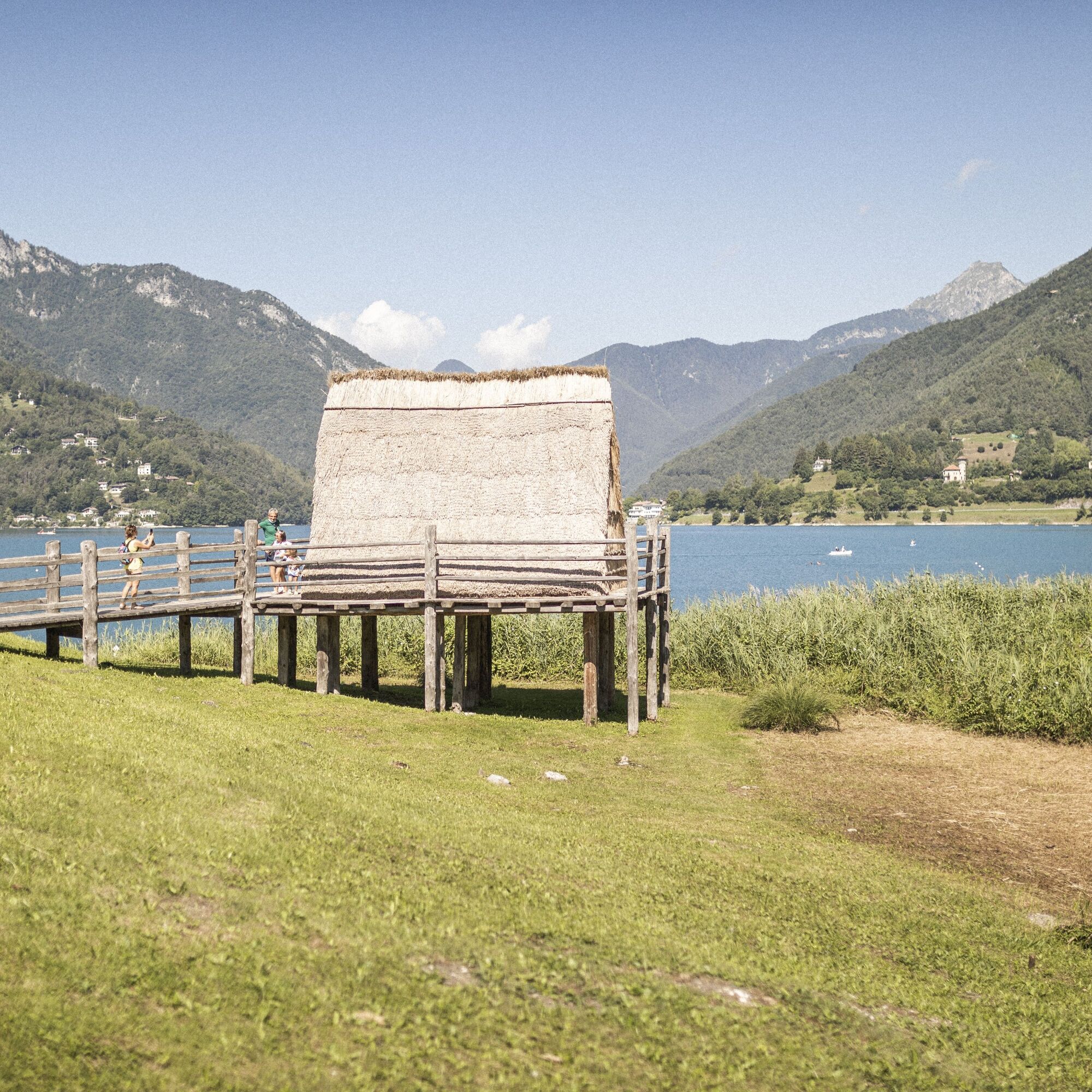
We cycle along the southern side of the lake, at first on asphalt road as far as Pur and then on cycle path, and we reach Pieve.
Return along the same route.
Áno
Riding your bike requires specific clothing and equipment, even for relatively short and easy trips. It is always better to be prepared… e.g. for bad weather or a sudden drop in your energy levels. The unexpected things are part of the fun!
Remember to thoroughly evaluate the type of route you plan on doing, the locations you intend to cross and the current season. Has it been raining? Attention: The paths may be slippery and require more caution.
What do I need to bring on my bike tour?
An adequate water supply according to your needs (considering temperature, possibility of refuelling and duration of the route) Plenty of snacks (for example, dried fruit or energy bars) Waterproof / Windproof jacket A spare top / spare socks (Descending in a sweaty garment, will make you cold). Suncream Sunglasses Bike gloves/mitts Map or GPS device Bike lights: best placed on your helmet or handlebars. (It is always best to be prepared) Bike repair kit for punctures and mechanical breakdowns First aid kit Emergency whistleIt is always advised to let someone know where you plan to go and how long you expect to be.
Emergency telephone number 112.
Safety Tips
Always wear your helmet. Plan your ride. You share the trail with other users. Yield right of way to hikers. Let your speed be determined by your experience. Ride slowly on crowded trails, overtake with politeness and respect. Cycle only on authorized and open trails. Avoid muddy trails in order not to damage them further. Respect public and private property. Always be self-sufficient. Do not cycle solo in remote areas.This information is subject to inevitable variations, so none of these indications are absolute. It is not entirely possible to avoid giving inexact or imprecise information, given how quickly environmental and weather conditions can change. For this reason, we decline any responsibility for changes which the user may encounter. In any case, it is advisable to check environment and weather conditions before setting out.
Find out how to reach Garda Trentino.
Valle di Ledro is connected to Riva del Garda by the intercity bus line 214 (Riva-Valle di Ledro-Storo).
Up-to-date information on timetables and routes.
Parking between Via Imperiale and Via Nuova in Pieve, near the info point.
S0
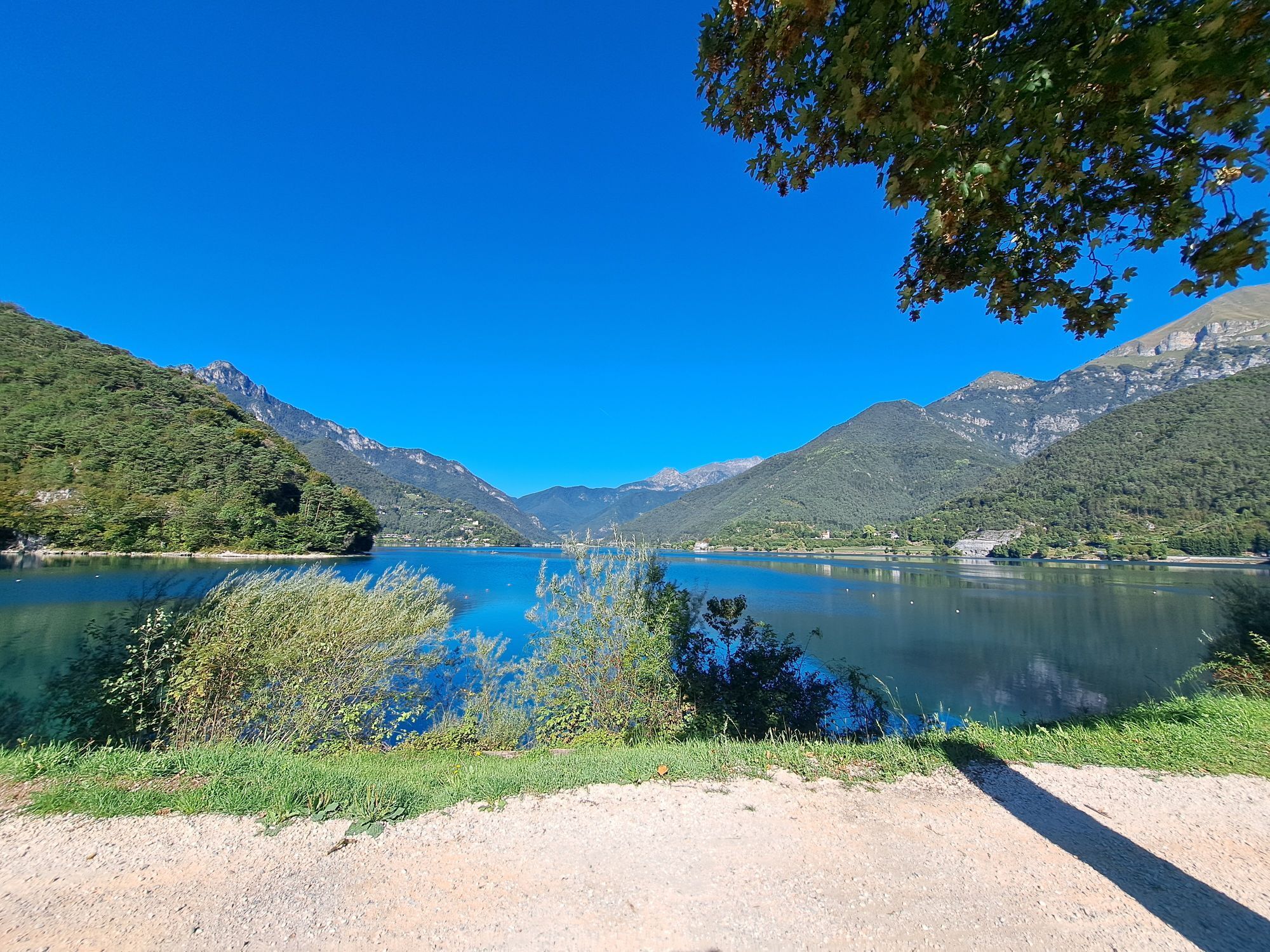
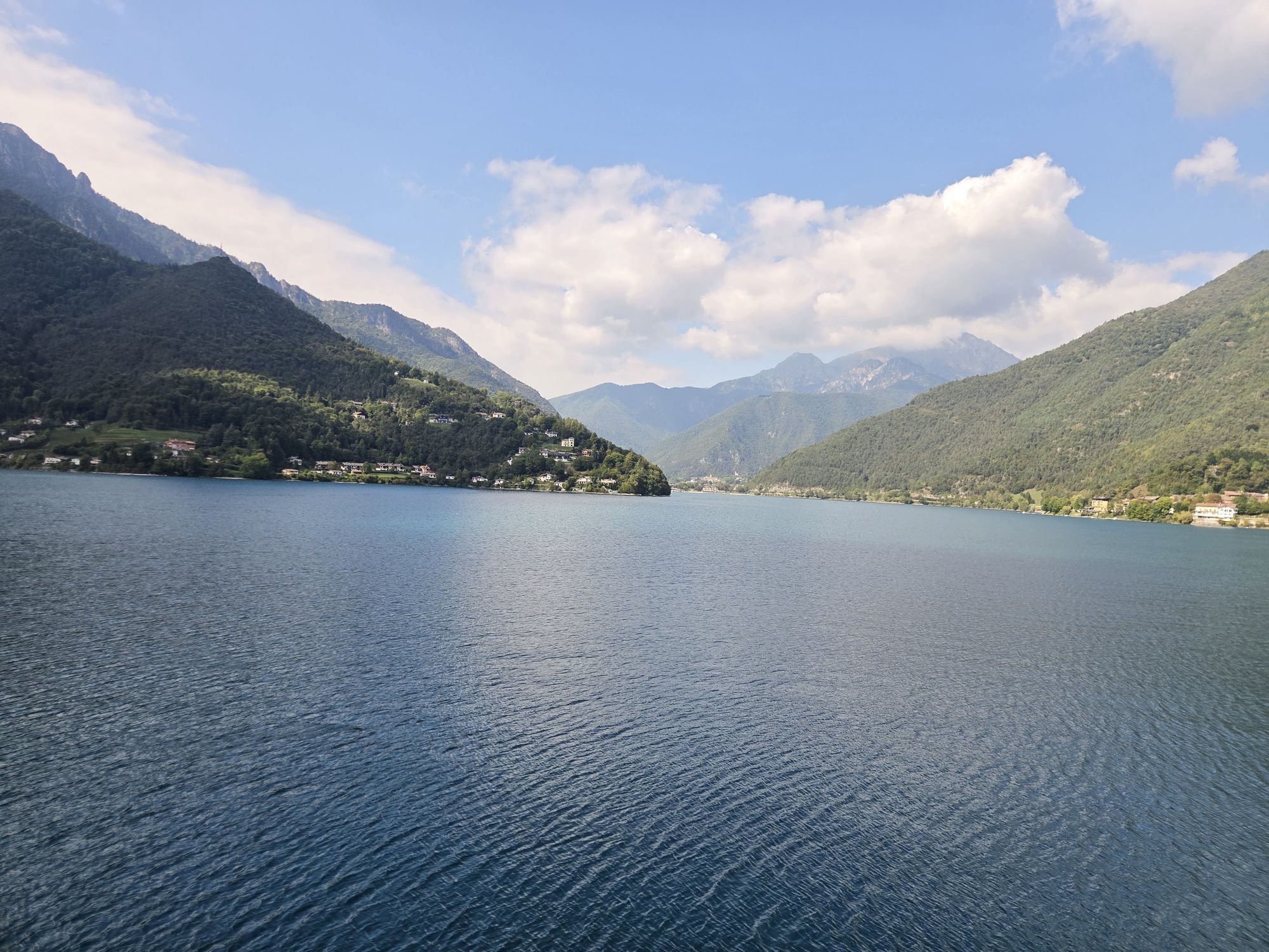
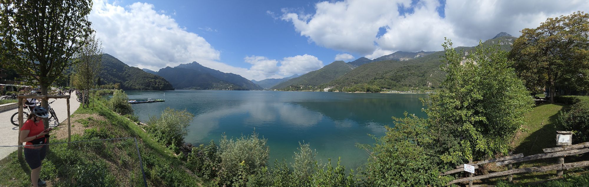
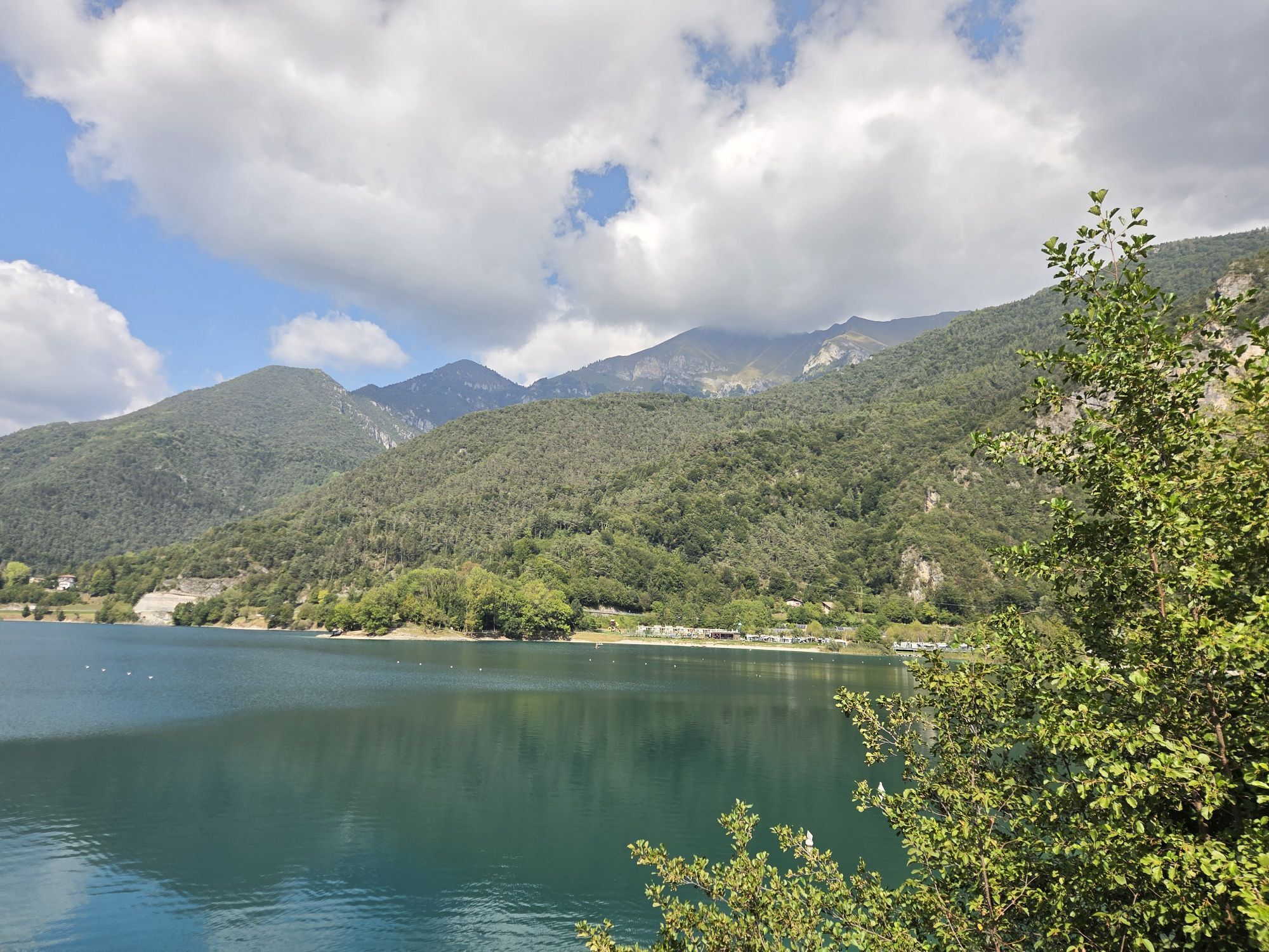
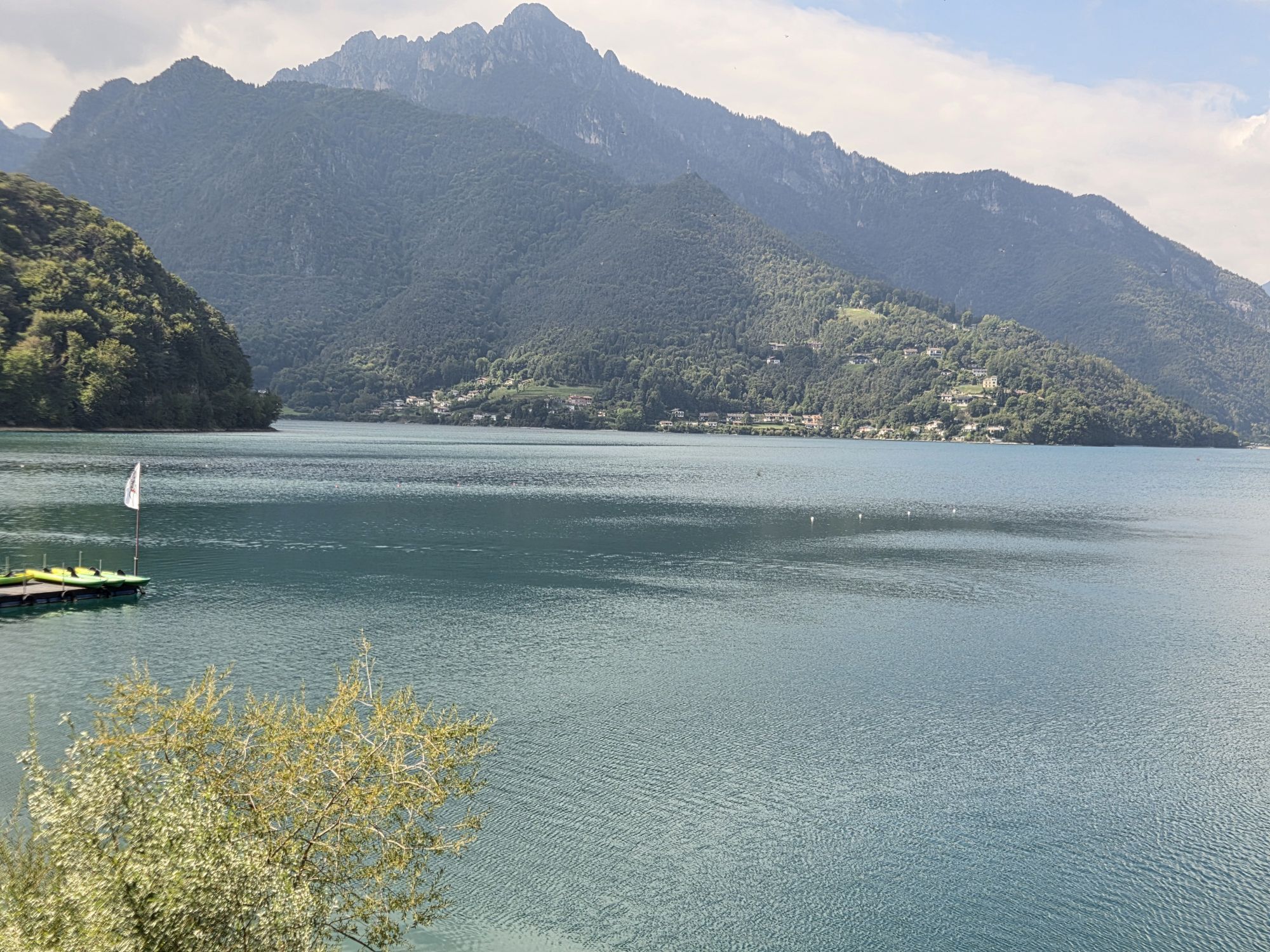
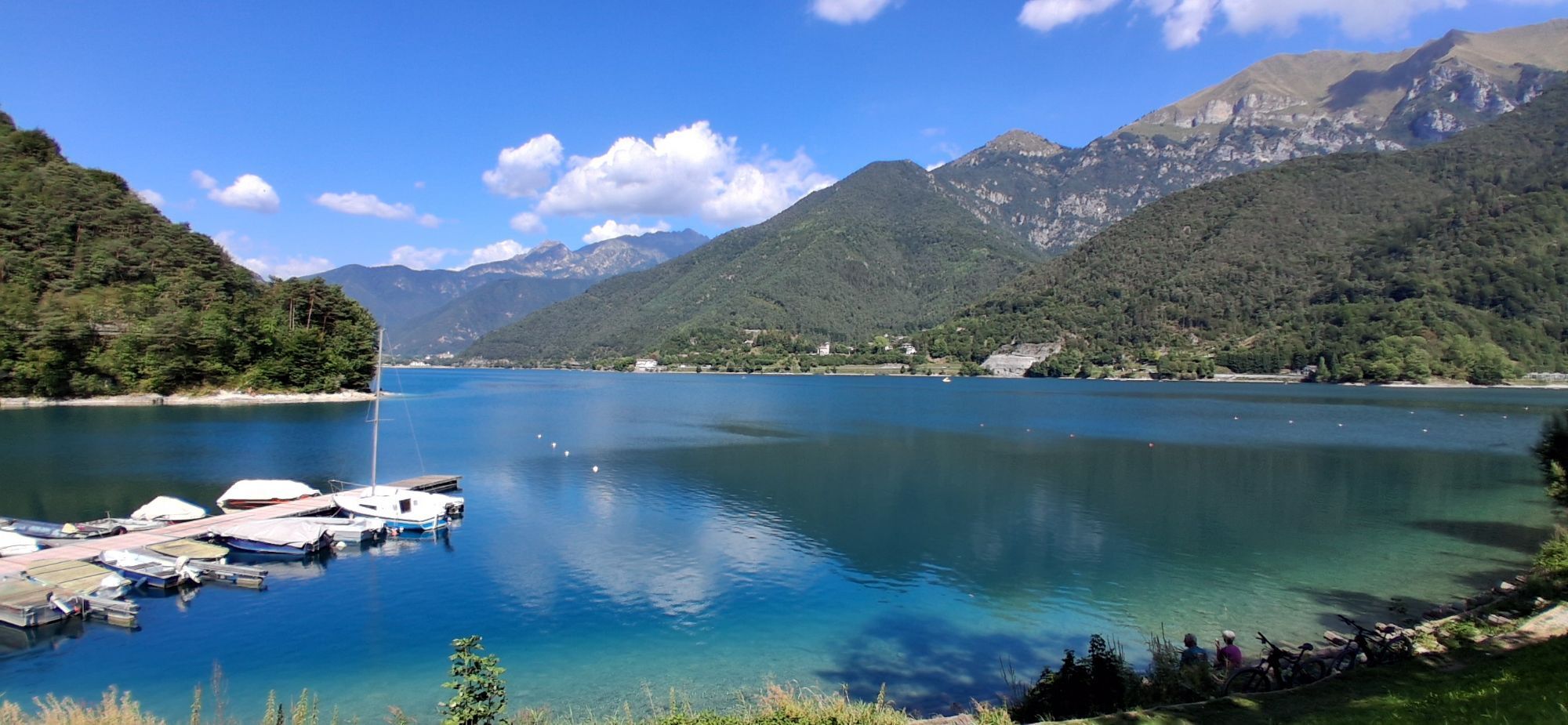
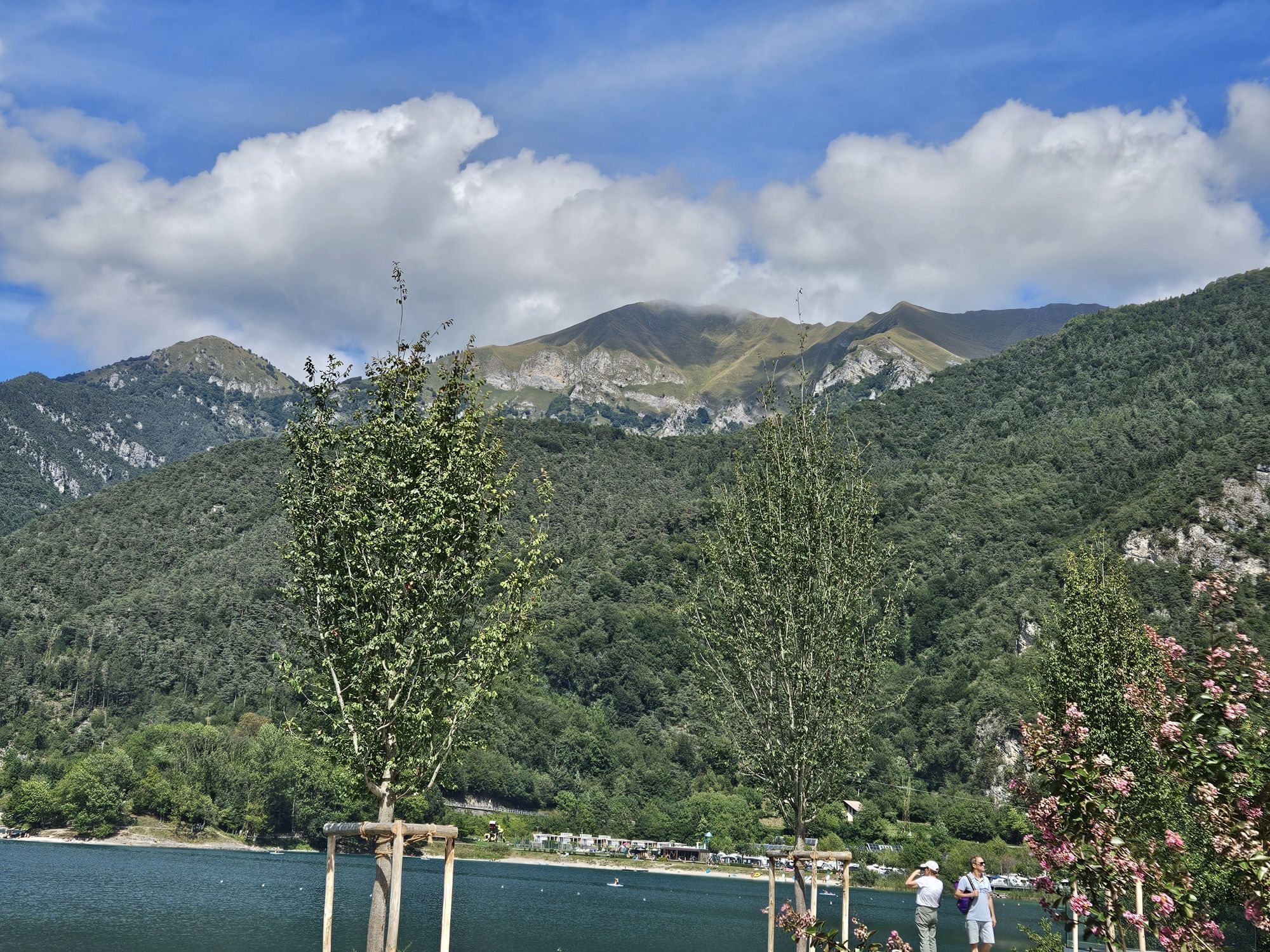
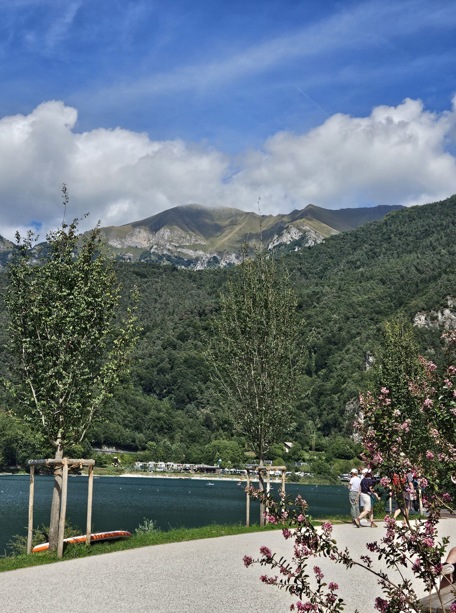
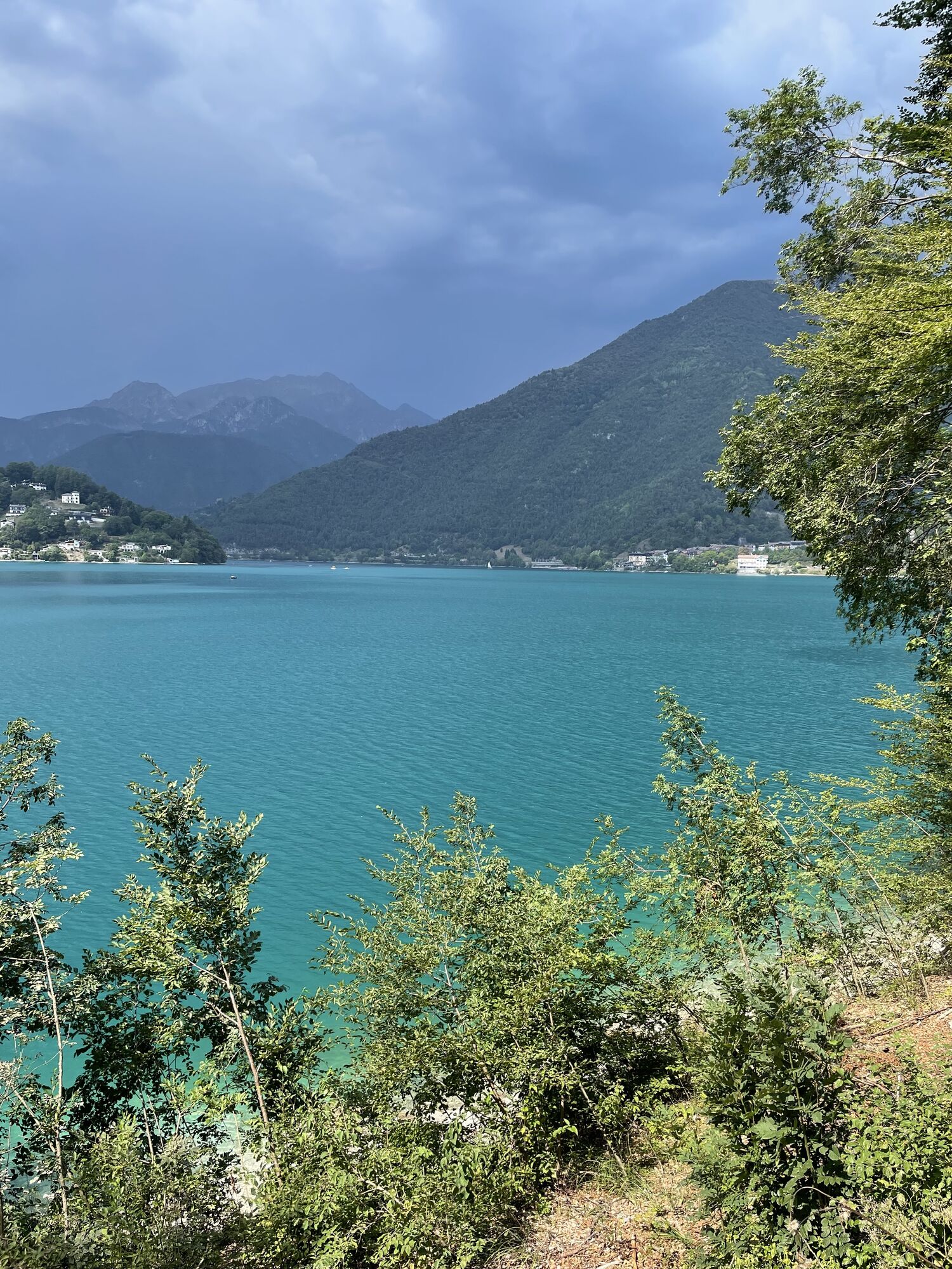
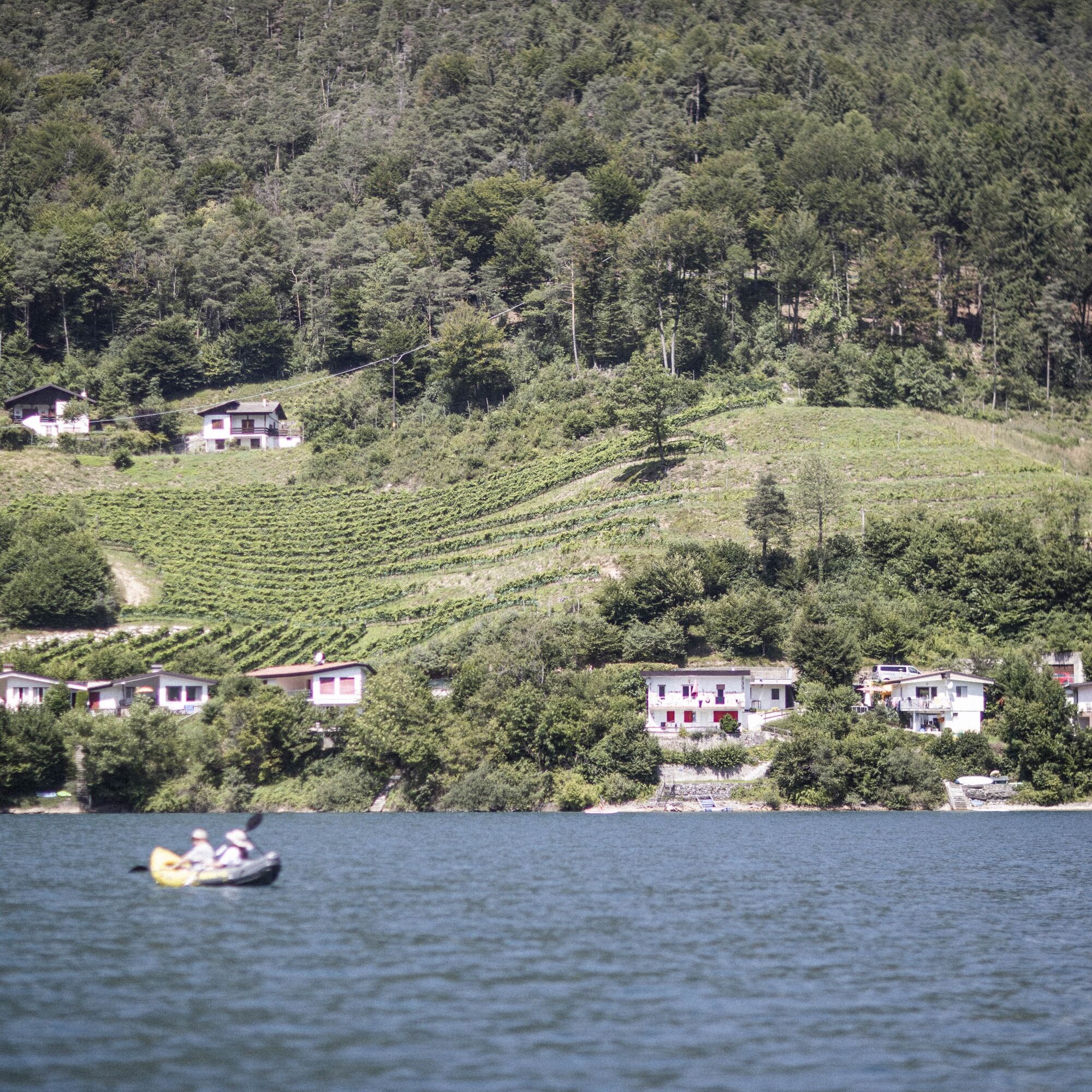
Once at Lake Ledro do not miss the opportunity to jump into its refreshing waters

Webové kamery z prehliadky

Aktivity počas prehliadky
-

Torbole - Ledrosee - Torbole
11.10.2026 – Mountainbike -
Riva del Garda, Trentino-Südtirol/Italien
02.09.2026 – Mountainbike -
Riva del Garda, Trentino-Südtirol/Italien
28.08.2026 – Mountainbike -

Ledro, Trentino-Alto Adige/Italia
31.07.2026 – Turistika -
Ledro, Trentino-Südtirol/Italien
25.06.2026 – Snowboard -
Riva del Garda, Trentino-Alto Adige/Italia
24.06.2026 – Mountainbike -
Ledro, Trentino – Alto Adige/Südtirol/Italy
21.06.2026 – Cyklistika -
Ledro, Trentino-Südtirol/Italien
11.06.2026 – Elektronický bicykel -

Riva del Garda über Ponale zum Ledrosee ret.
07.05.2026 – E-MTB -
Ledro, Trentino-Südtirol/Italien
10.04.2026 – Mountainbike -
Riva del Garda, Trentino-Südtirol/Italien
08.04.2026 – Turistika
Obľúbené výlety v okolí
-
5,0
Via Ferrata Signora delle Acque - Rio Ruzza
ťažkéVia ferrata 5,32 km -
5,0
Bastione and Santa Barbara, the lords of Riva del Garda
strednáTuristika 2,94 km -
4,9
Via Ferrata dell’Amicizia - Cima SAT
strednáVia ferrata 4,41 km -
4,8
Bocca Fortini - Tour
ťažkéMountainbike 35,4 km -
4,8
Sentiero Busatte Tempesta
svetloTuristika 7,90 km -
4,8
Via Ferrata Fausto Susatti - Cima Capi (from Ledro)
strednáVia ferrata 7,11 km -
4,6
Via Ferrata delle Laste e Gallerie di Cima Rocca
svetloVia ferrata 6,38 km -
4,6
Walking around Lake Ledro
svetloTuristika 9,40 km -
4,5
Tremalzo Big - Tour
ťažkéMountainbike 45,6 km -
4,8
Ponale Path (from Ledro)
strednáTuristika 10,8 km
Turistika a stopovanie


Nenechajte si ujsť ponuky a inšpiráciu na ďalšiu dovolenku
Vaša e-mailová adresa bol pridaný do poštového zoznamu.





