Navigácia na stránke
Získajte túto prehliadku v mobilnom telefóne
Mapa
Passes and mountain huts: Cugola Pass and Oclini Pass - Tour 924

ťažké
Mountainbike
37,19 km
Naskenujte kód QR a spustite navigáciu v aplikácii bergfex
QR Code
Turistika a stopovanie

Passes and mountain huts: Cugola Pass and Oclini Pass - Tour 924
Vzdialenosť
37,2 km
Trvanie
05:30 h
Ascent
1 297 hm
Hladina mora
996 - 1 990 m
Stiahnutie skladby
Mapa
Passes and mountain huts: Cugola Pass and Oclini Pass - Tour 924
ťažké
Mountainbike
37,19 km

The challenging part begins in the forest above loc. Ganzaie. Here you leave the wide pastures of Daiano behind you and you take the long uphill forest road that leads towards Passo Cugola. From this point...

Opis
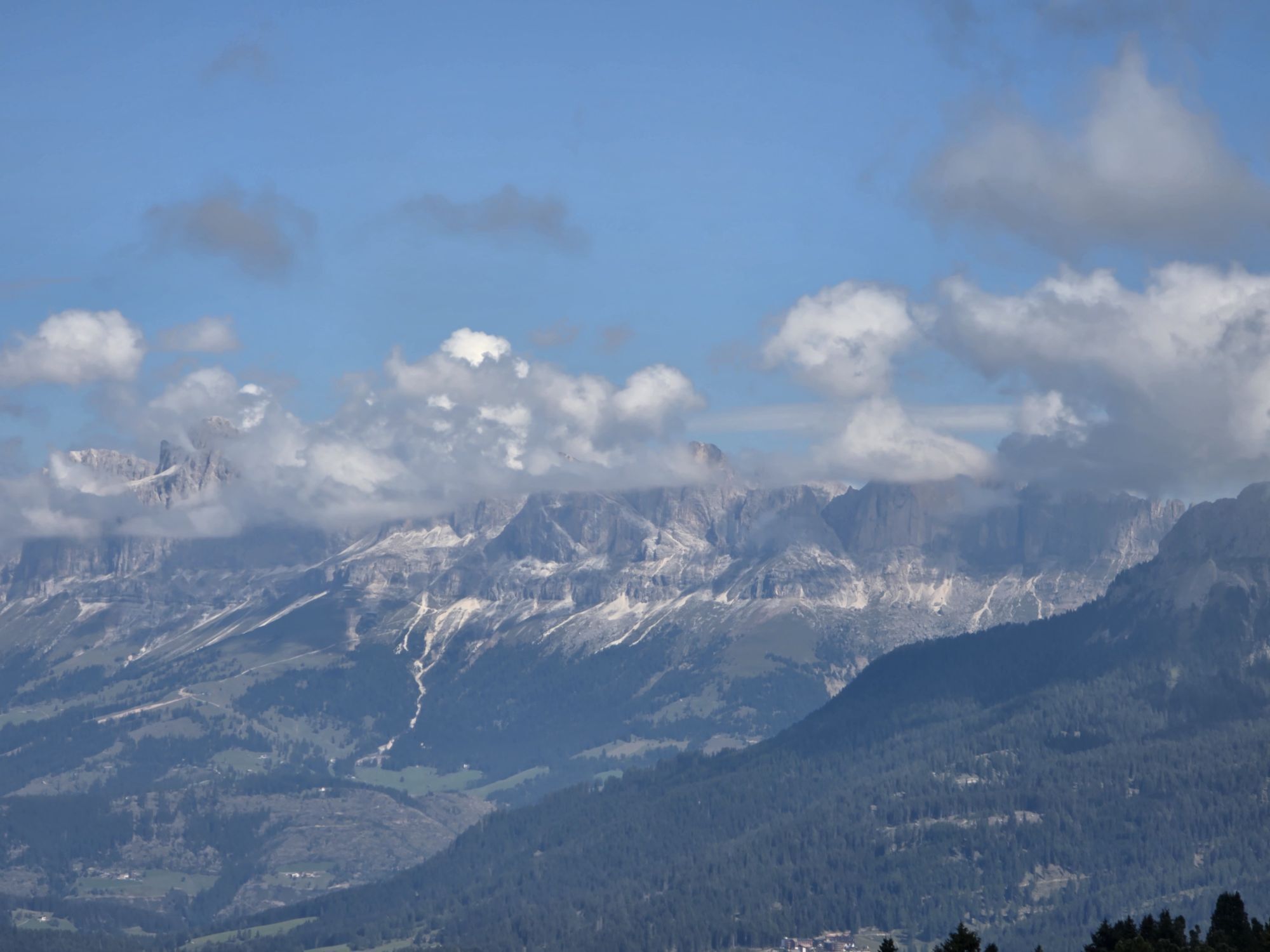
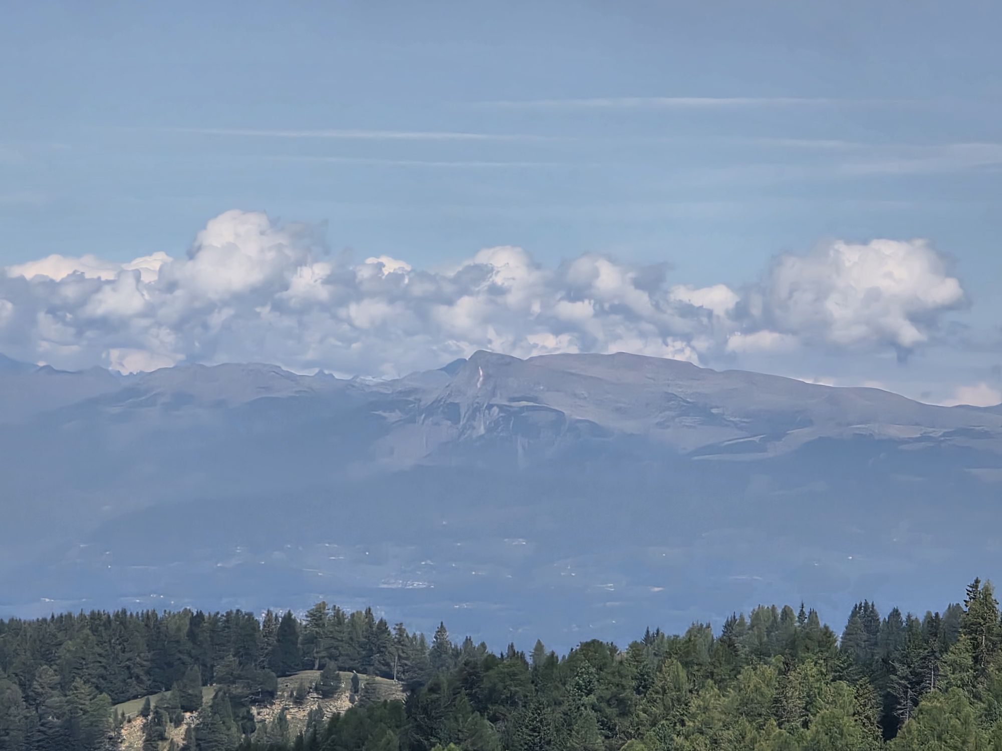
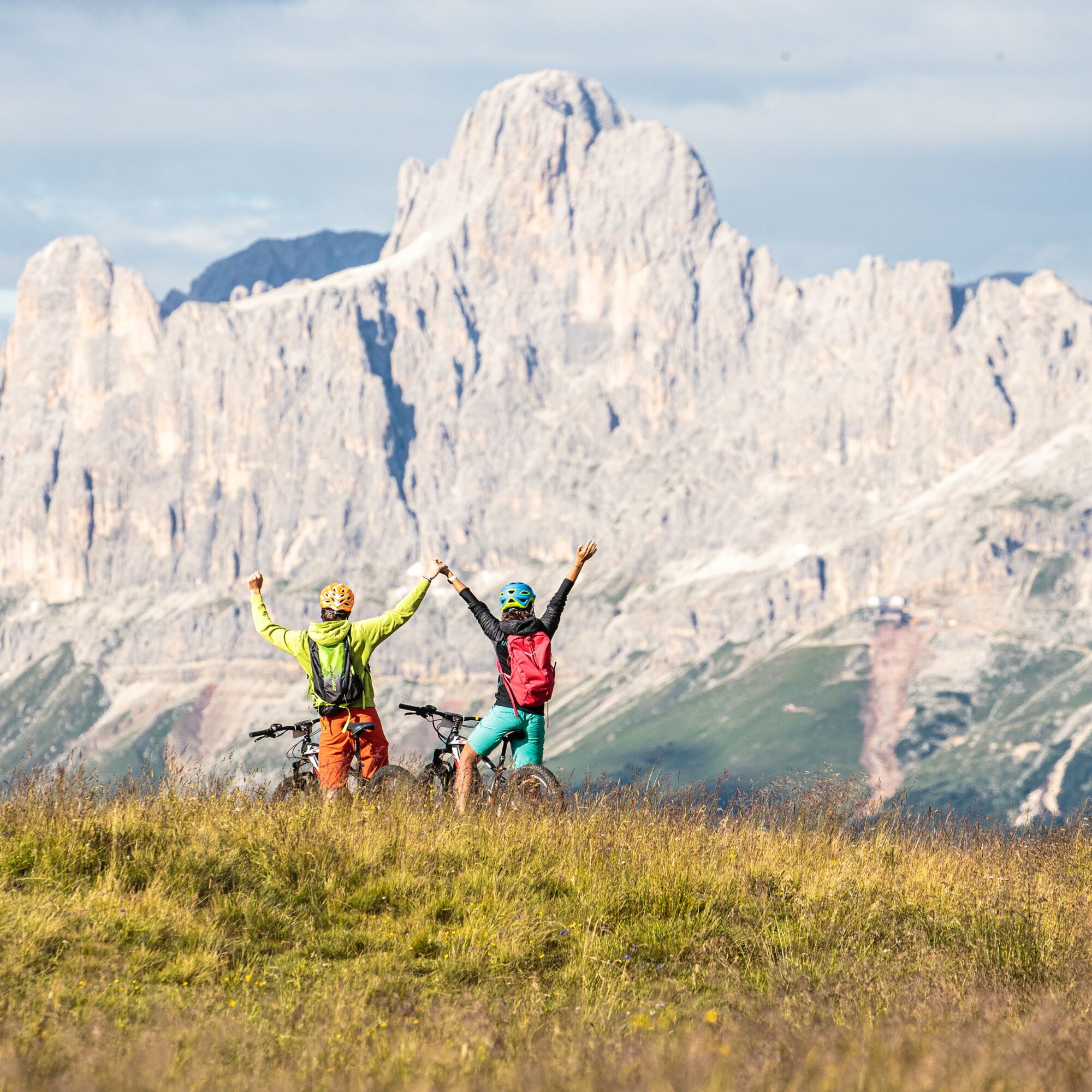
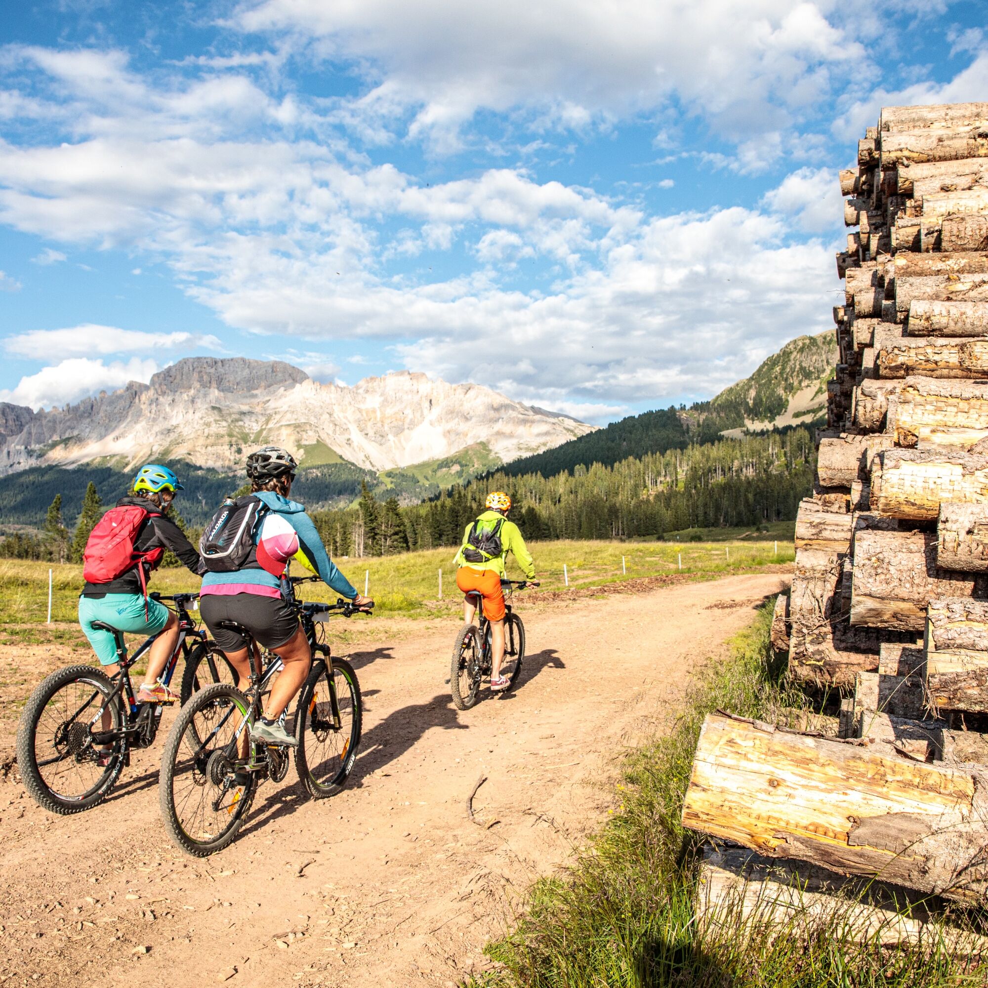
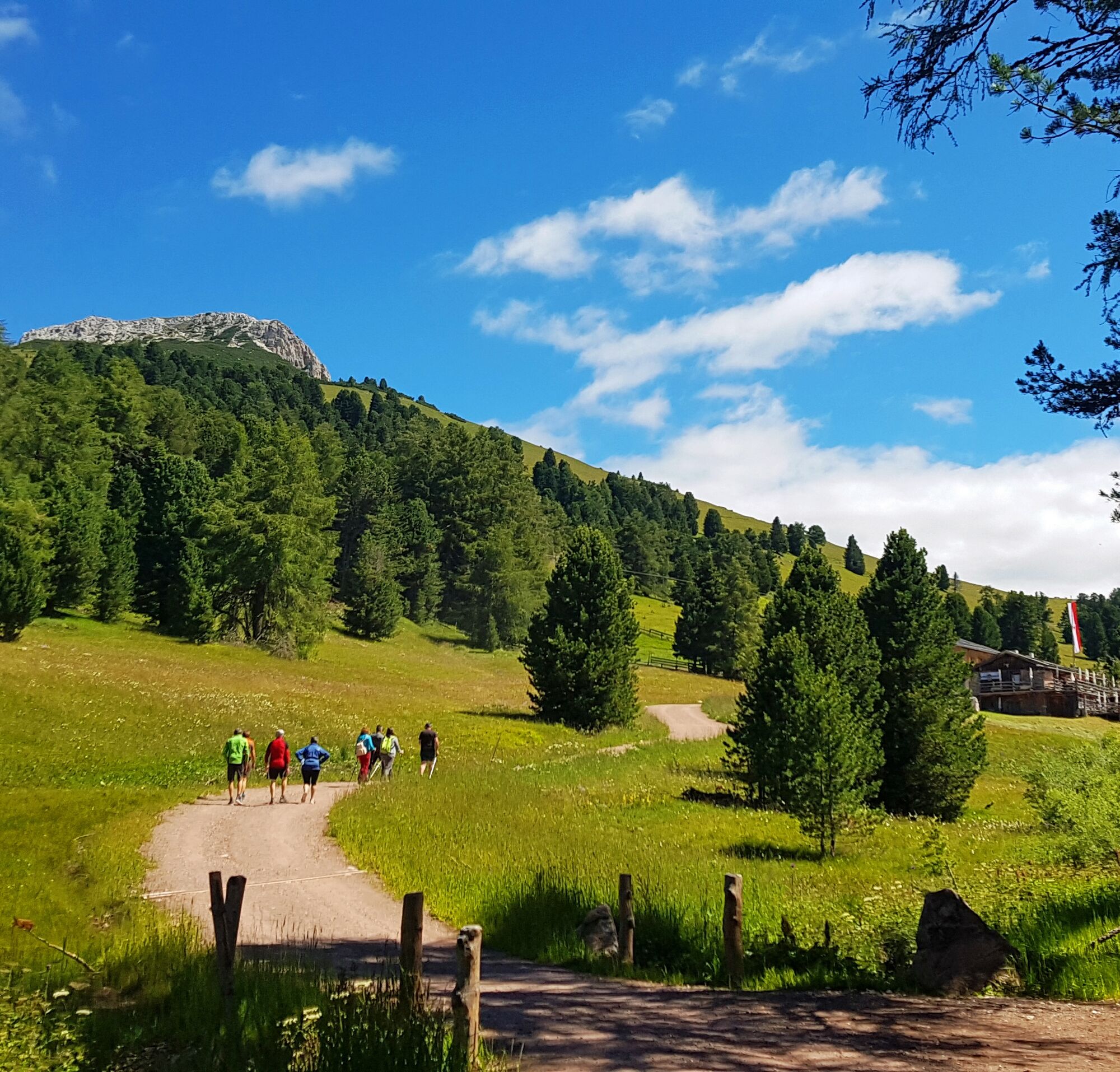
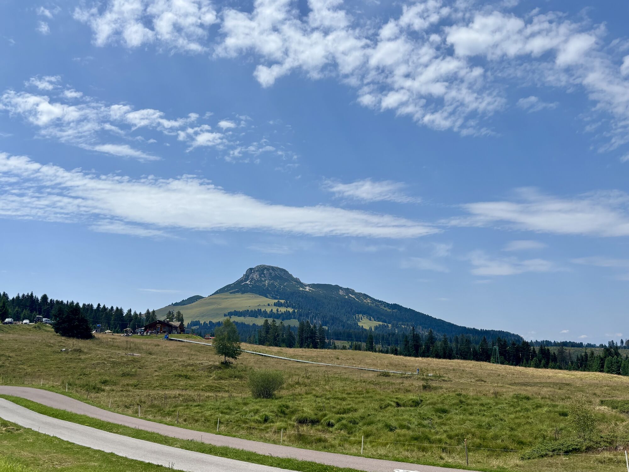
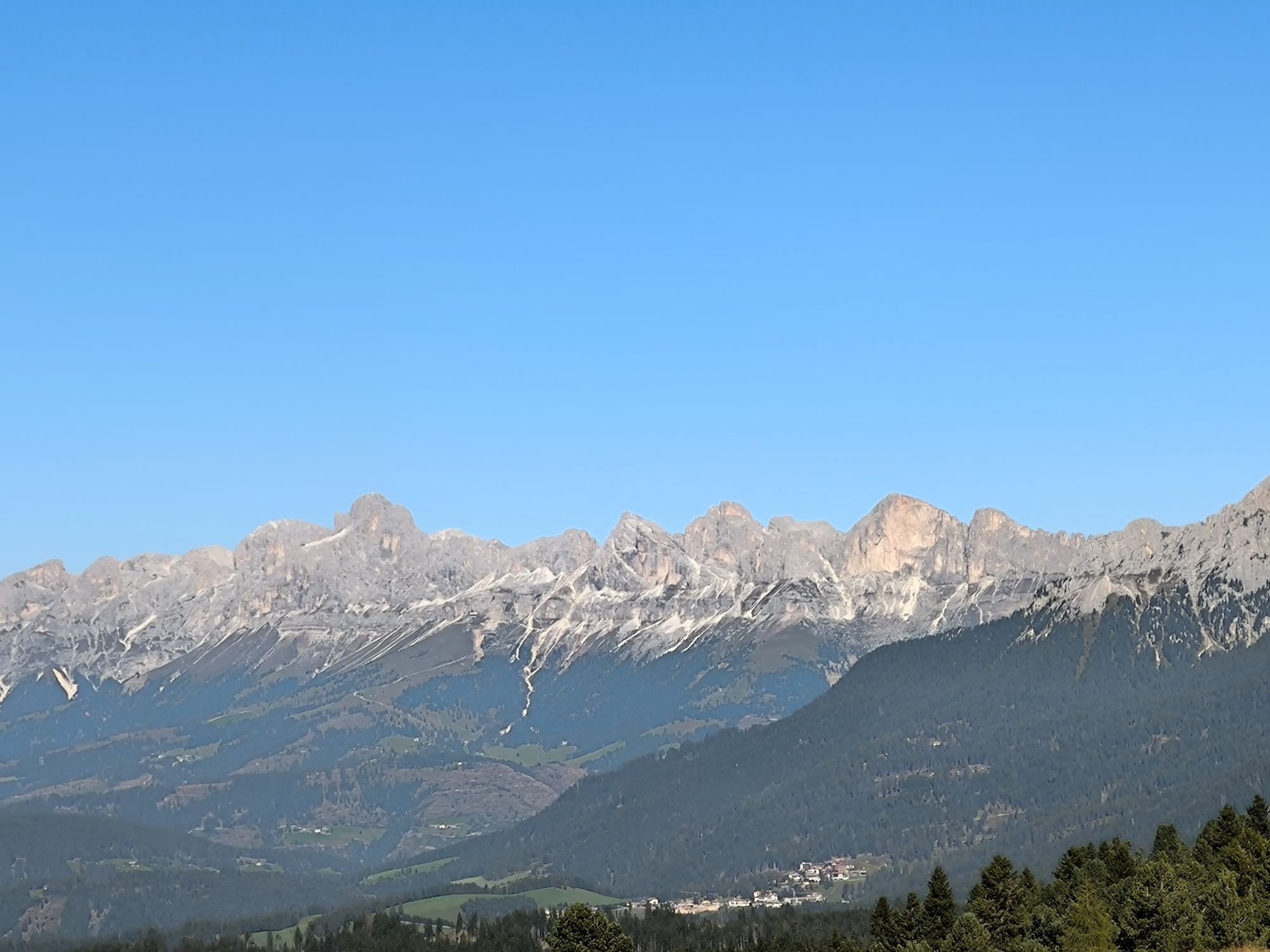
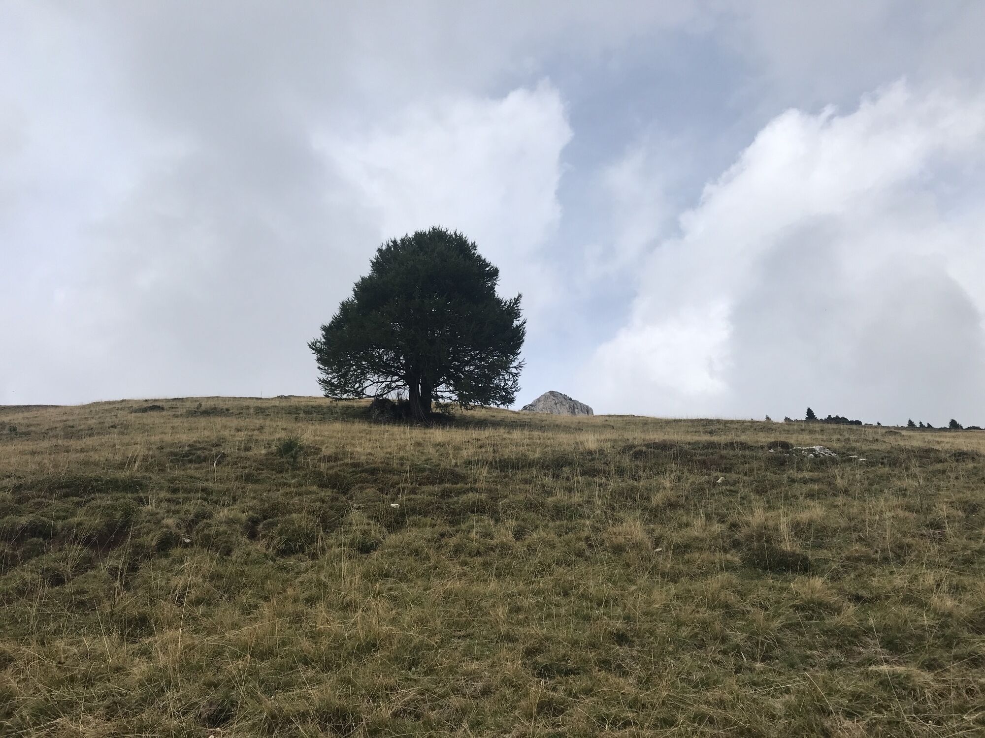
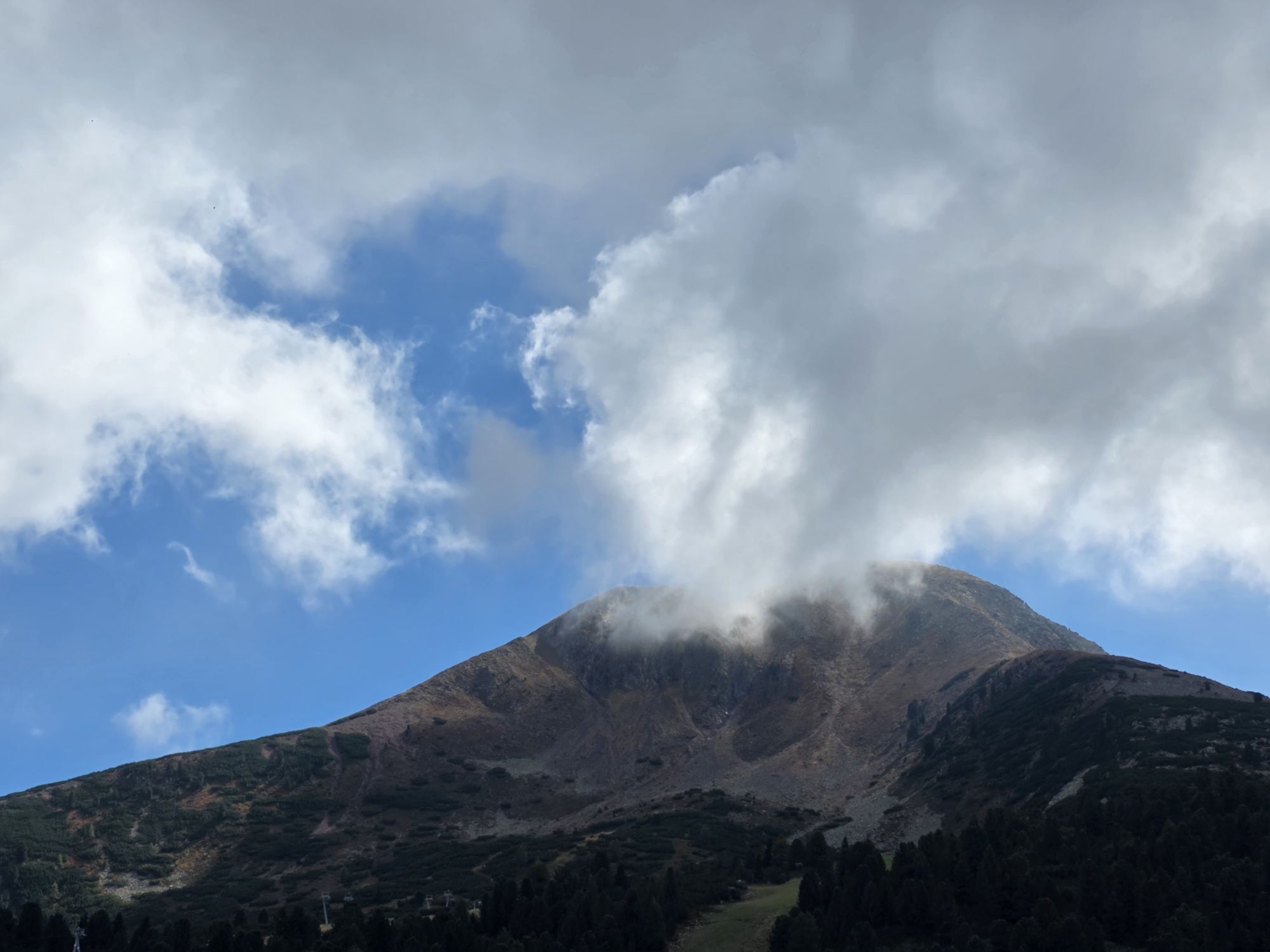
The challenging part begins in the forest above loc. Ganzaie. Here you leave the wide pastures of Daiano behind you and you take the long uphill forest road that leads towards Passo Cugola. From this point you get a big reward: the panorama that opens up to the Val di Fiemme, a view as far as the eye can see, on the Lagorai chain and the villages below. Once at Passo Oclini, the horizon widens, the lungs fill with fresh air and the eyes fill with wonderful views. 

From the Oclini Pass, it is obligatory to descend to Varena using the asphalted road. The track on the map is closed due to works.

Trasa
Chiesa di San Sebastiano
(993 m)
Miesto uctievania
0,1 km
Chiesa di San Vigilio
(1 003 m)
Miesto uctievania
0,2 km
Chiesa di San Nicolò
(1 084 m)
Miesto uctievania
2,0 km
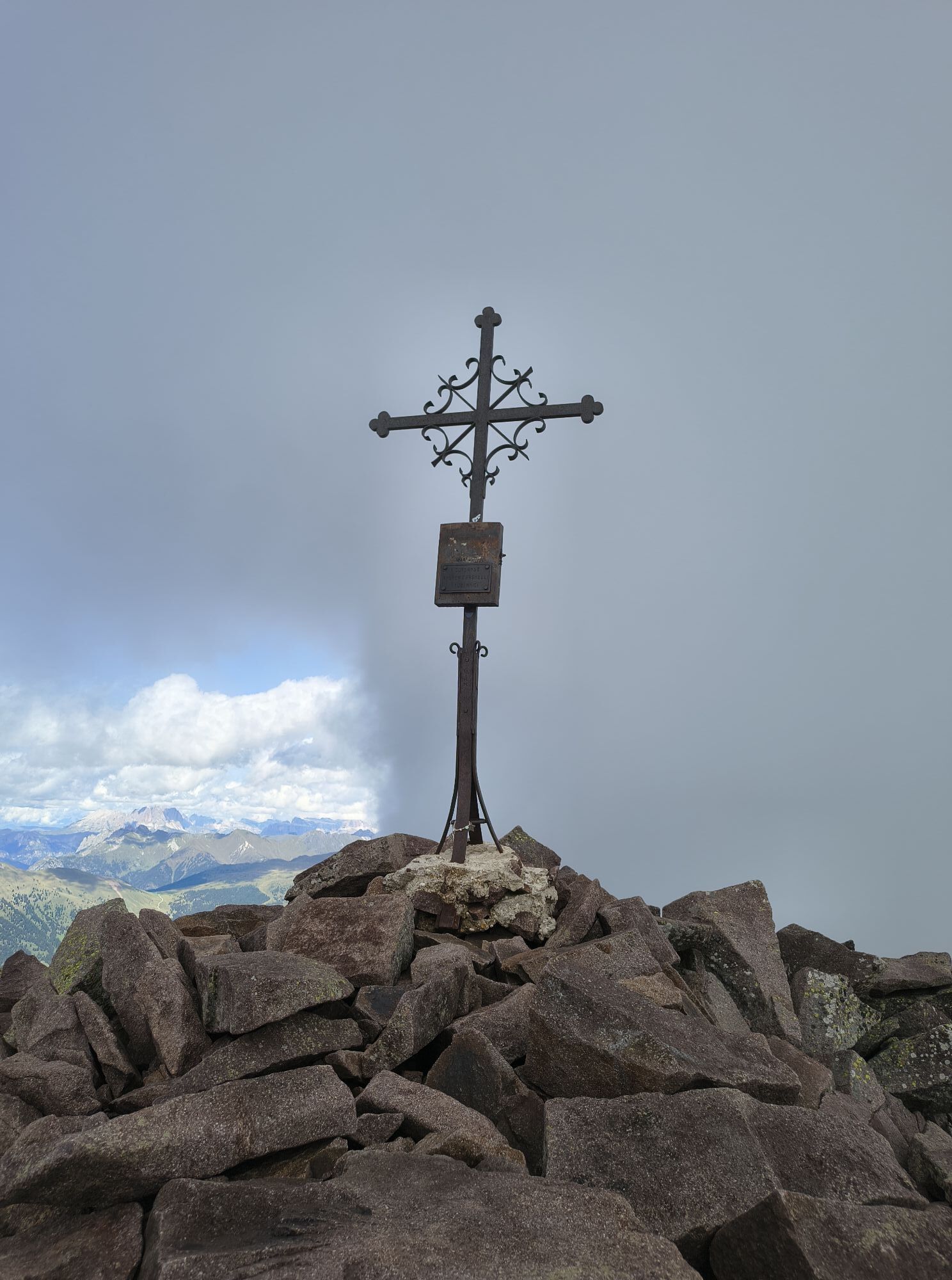
Passo Cùgola
(1 923 m)
Horské sedlo
14,1 km
Malga Varena
(1 833 m)
Reštaurácia
23,0 km
Varena
(1 174 m)
Dedina
33,2 km
Località Copara
(1 196 m)
Koridor/terén
34,4 km
Trasa
Mapa
Passes and mountain huts: Cugola Pass and Oclini Pass - Tour 924
ťažké
Mountainbike
37,19 km
Cavalese
(1 000 m)
Dedina
0,0 km
Chiesa di San Sebastiano
(993 m)
Miesto uctievania
0,1 km
Chiesa di San Vigilio
(1 003 m)
Miesto uctievania
0,2 km
Chiesa di San Nicolò
(1 084 m)
Miesto uctievania
2,0 km
Carano
(1 084 m)
Dedina
2,1 km
Cascatelle
(1 128 m)
Vodopád
3,8 km
Sedel
(1 336 m)
Koridor/terén
7,6 km
Ganzaie
(1 337 m)
Koridor/terén
8,8 km
Passo Cùgola
(1 923 m)
Horské sedlo
14,1 km
Gurndin Alm - Malga Gurndin
(1 952 m)
Reštaurácia
18,8 km
Malga Varena
(1 833 m)
Reštaurácia
23,0 km
Troppopieno acquedotto
(1 430 m)
Zdroj
31,3 km
Varena
(1 174 m)
Dedina
33,2 km
Pizzeria La Marisana
(1 193 m)
Reštaurácia
33,5 km
Località Copara
(1 196 m)
Koridor/terén
34,4 km
Chiesa di San Sebastiano
(993 m)
Miesto uctievania
37,1 km
Cavalese
(1 000 m)
Dedina
37,1 km
Informácie o prehliadke

Very nice and challenging tour that can be mastered with good athletic preparation and a certain dose of technical skills.

Technológia
n.a.
Stav
6 / 6
Krajina
5 / 6
Skúsenosti
5 / 6
Najlepšie ročné obdobie
Jan
Feb
Mar
Apr
Máj
Jún
Júl
Aug
Sep
Okt
Nov
Dec
Zdieľať prehliadku
Mapa
Passes and mountain huts: Cugola Pass and Oclini Pass - Tour 924
ťažké
Mountainbike
37,19 km
Chyba
Vyskytla sa chyba. Prosím, skúste to znova.
Informácie o trase
Trasa
Start from the centre of Cavalese and ride towards Carano, where in the Calvello area the road in the wood leads to the meadows of the Ganzaie area. From this point begins a hard climb (800 m of elevation gain), in and out of the wood, towards the Cugola pass. Once reached the Oclini pass with its inviting mountain huts, descend on a paved road towards the Lavazè pass. From Lavazè pass, it is obligatory to descend to Varena using the asphalted road. The track on the map is closed due to works.

Zariadenie
What do I need to bring on my bike tour?  An adequate water supply according to your needs (considering temperature, possibility of refuelling and duration of the route) Plenty of snacks (for example, dried fruit or energy bars) Waterproof / Windproof jacket. A spare top / spare socks. (Descending in a sweaty garment, will make you cold) Suncream Sunglasses Bike gloves/mitts Map or GPS device Bike repair kit for punctures and mechanical breakdowns First aid kit

It is always advised to let someone know where you plan to go and how long you expect to be.

Emergency telephone number 112

Bezpečnostné pokyny
IMPORTANT

Along all routes, always pay attention to other people and vehicles coming from both directions. MTB routes are not for bikers only.

After windstorm Vaia in October 2018, forest roads are used also by heavy vehicles to transport wood. When riding on streets, bikers have to respect the traffic code just like drivers.

BIKER’S CODE OF RESPONSIBILITY 

Plan your ride Share the trail with other users Yield right of way to hikers Let your speed be determined by your experience Ride slowly on crowded trails, overtake with politeness and respect Cycle only on authorized and open trails Avoid muddy trails in order not to damage them further Respect nature, plants, animals and the trail Do not frighten animals Take your rubbish home with you Respect public and private property Always be selfsufficient Do not cycle solo in remote areas Take back home only good pics

ALWAYS WEAR YOUR HELMET !

Please note that the practicability of the itineraries in a mountain environment is strictly linked to the contingent conditions and it is therefore influenced by natural phenomena, environmental changes and weather conditions. For this reason, the information contained in this page may have changed. Before leaving for a tour, make sure the path you will approach is still accessible by contacting the owner of the mountain hut, the alpine guides or the visitor centres of the nature parks, the info offices of the local tourist board.

Informácie o príchode
Príchod

Drive until you reach the centre of Cavalese.

Verejná doprava

Cavalese can be reached from every village of Val di Fiemme with the Trentino Trasporti buses.

Parkovanie

In Cavalese there are several parking lots near the middle school.

Ďalšie informácie a tipy
Ďalšie informácie

APT Val di Fiemme - Tel. +39 0462 241111 - info@visitfiemme.it - www.visitfiemme.it 

Tipy

Also suited for E-MTB.

Turistika a stopovanie

Turistika a stopovanie

Turistika a stopovanie
Viac ako 550.000 návrhov výletov, podrobné mapy a intuitívny plánovač trás robia z aplikácie povinnú výbavu pre všetkých nadšencov prírody.
bergfex