







Around Monte Brione
Úroveň náročnosti: 1
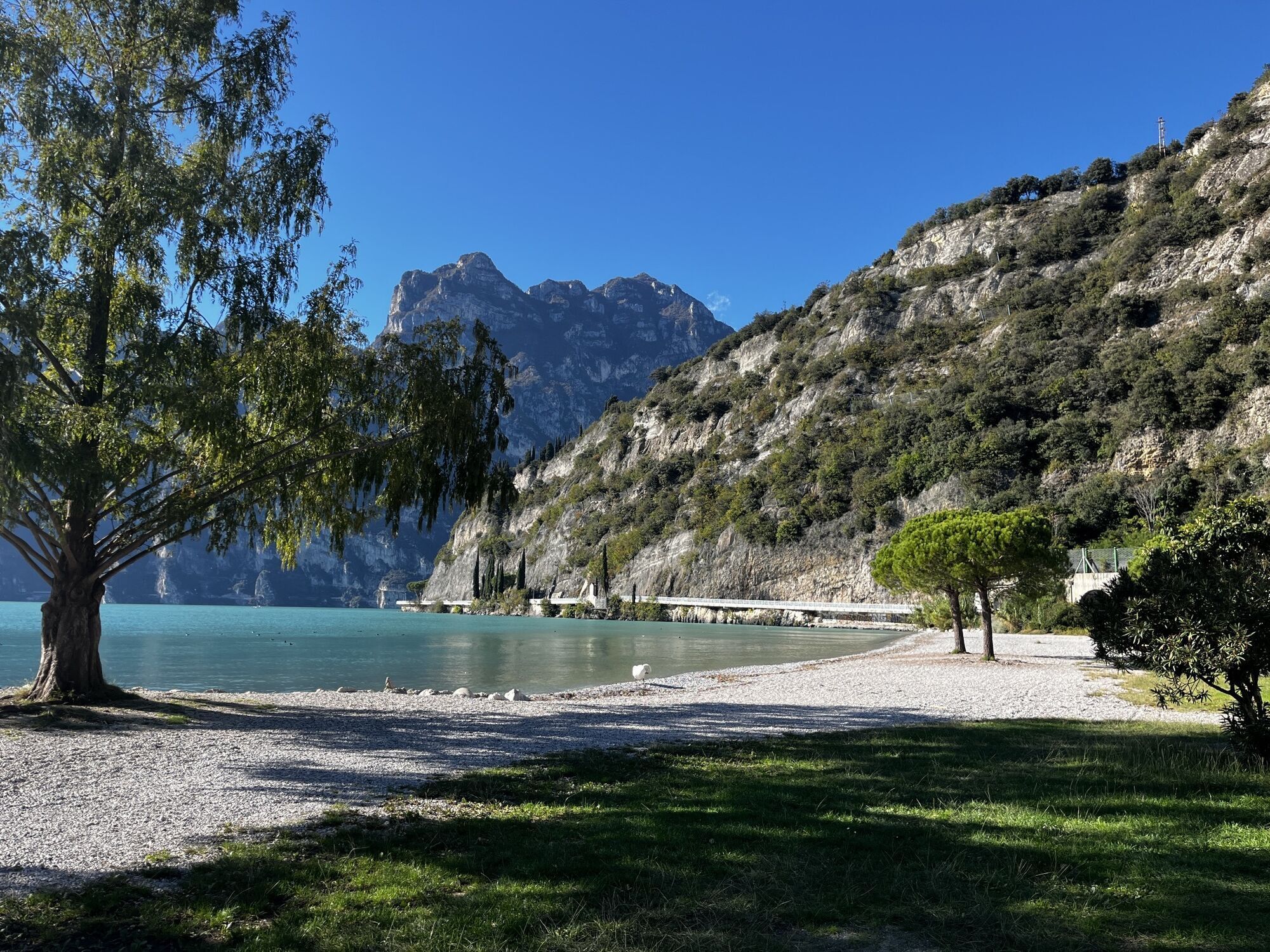
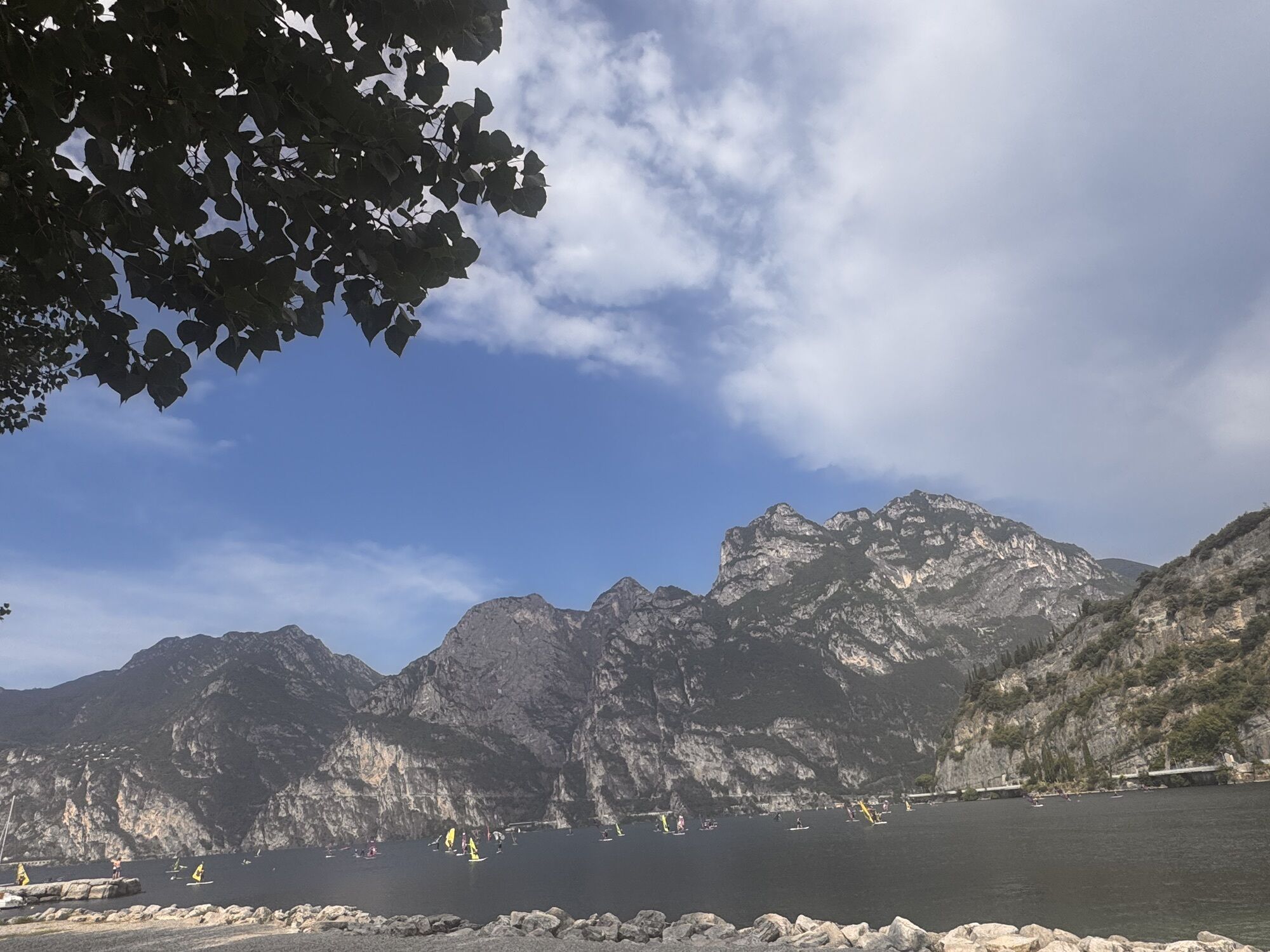
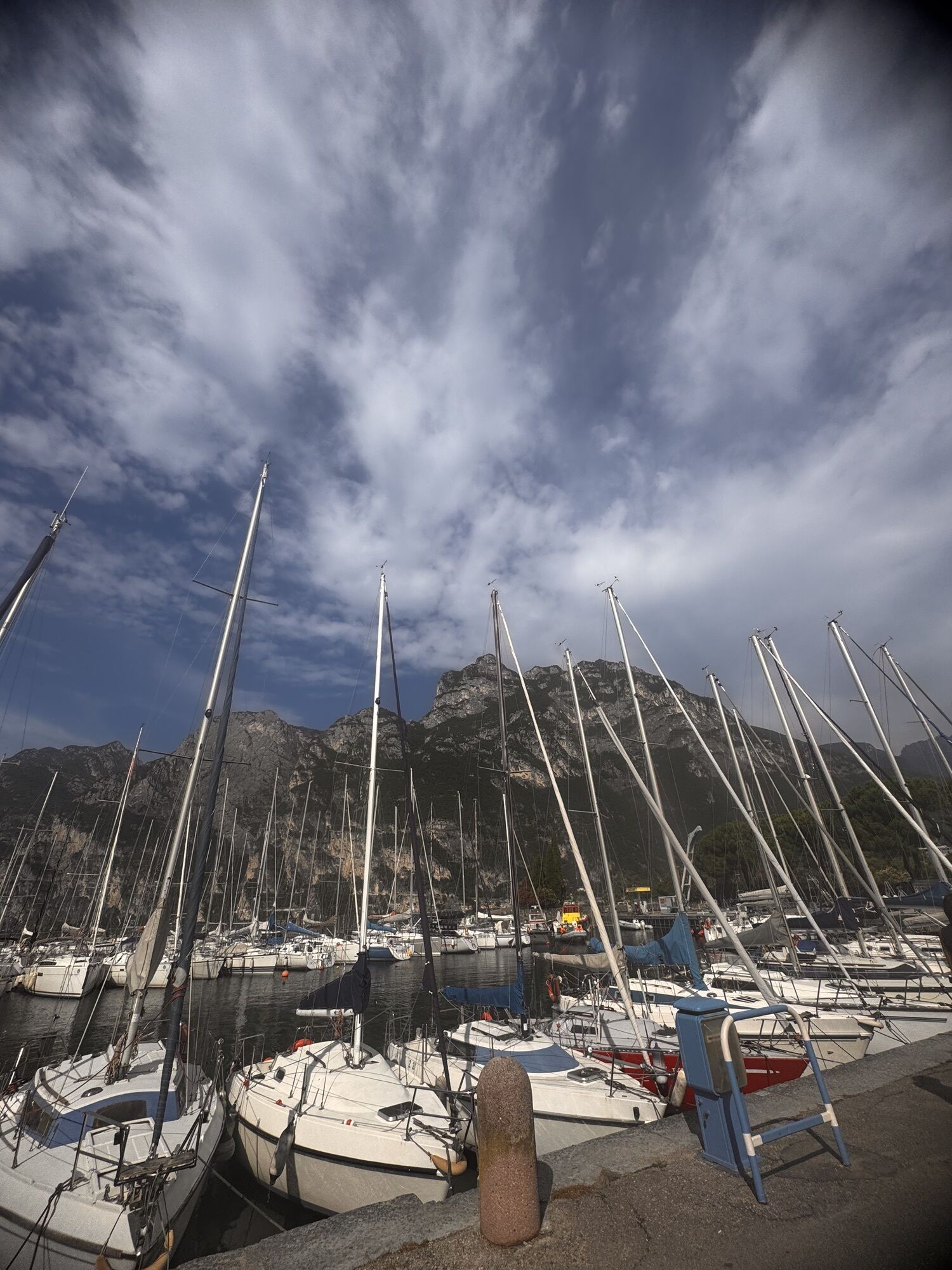
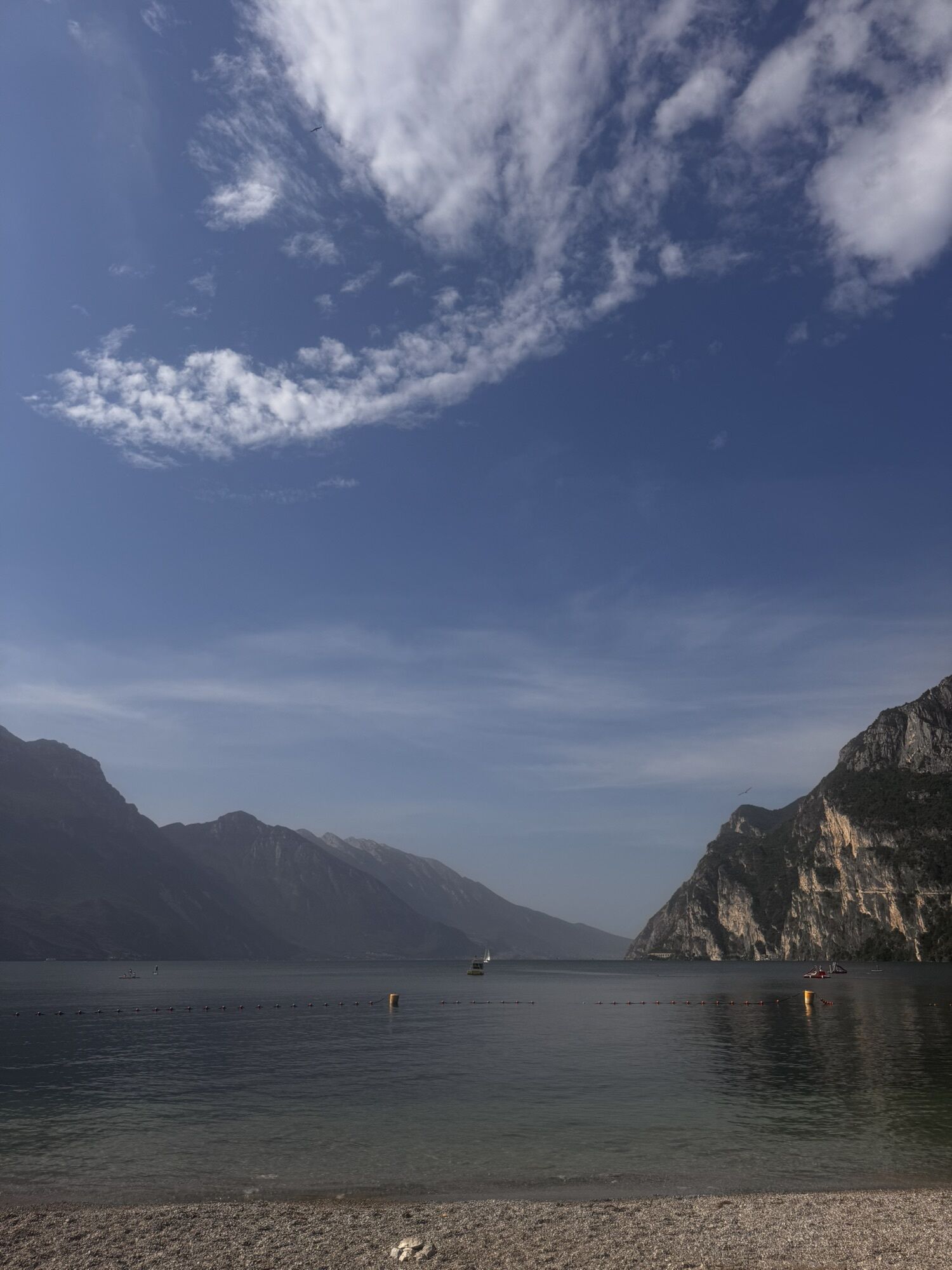
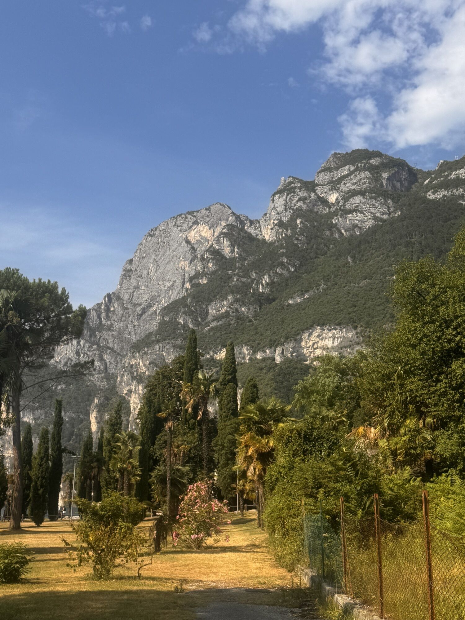
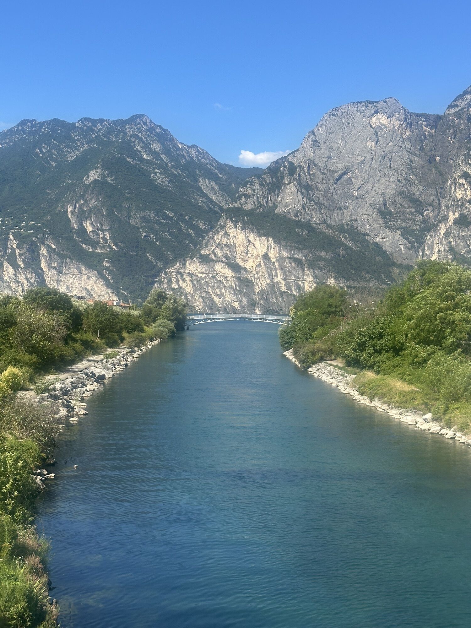
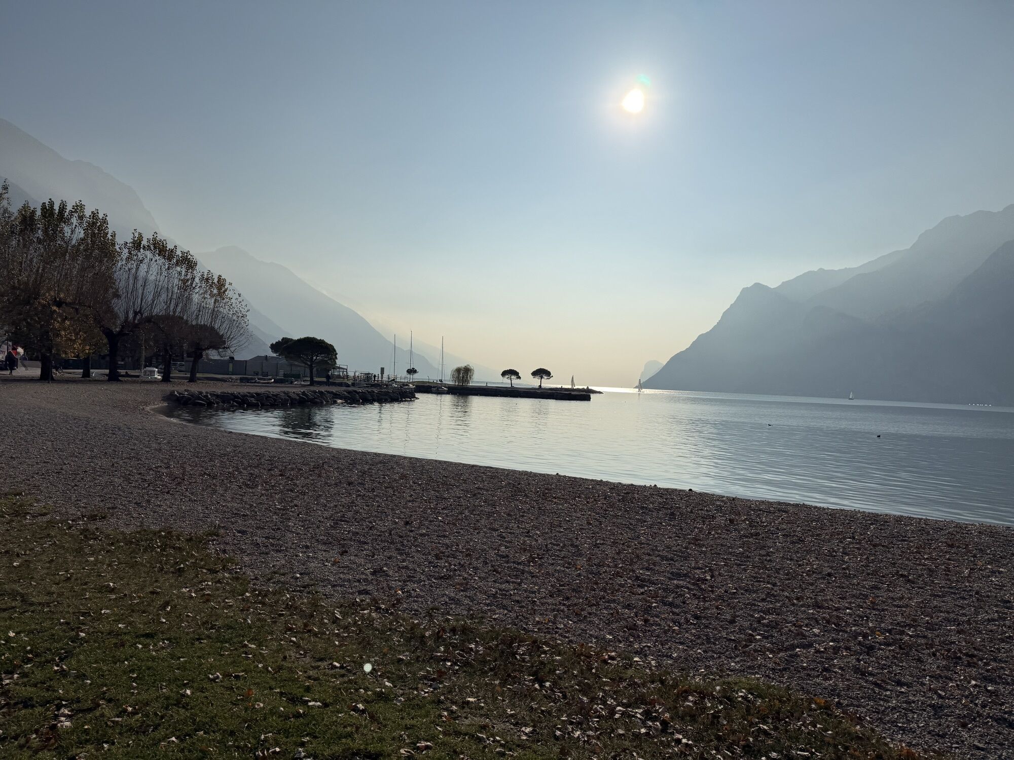

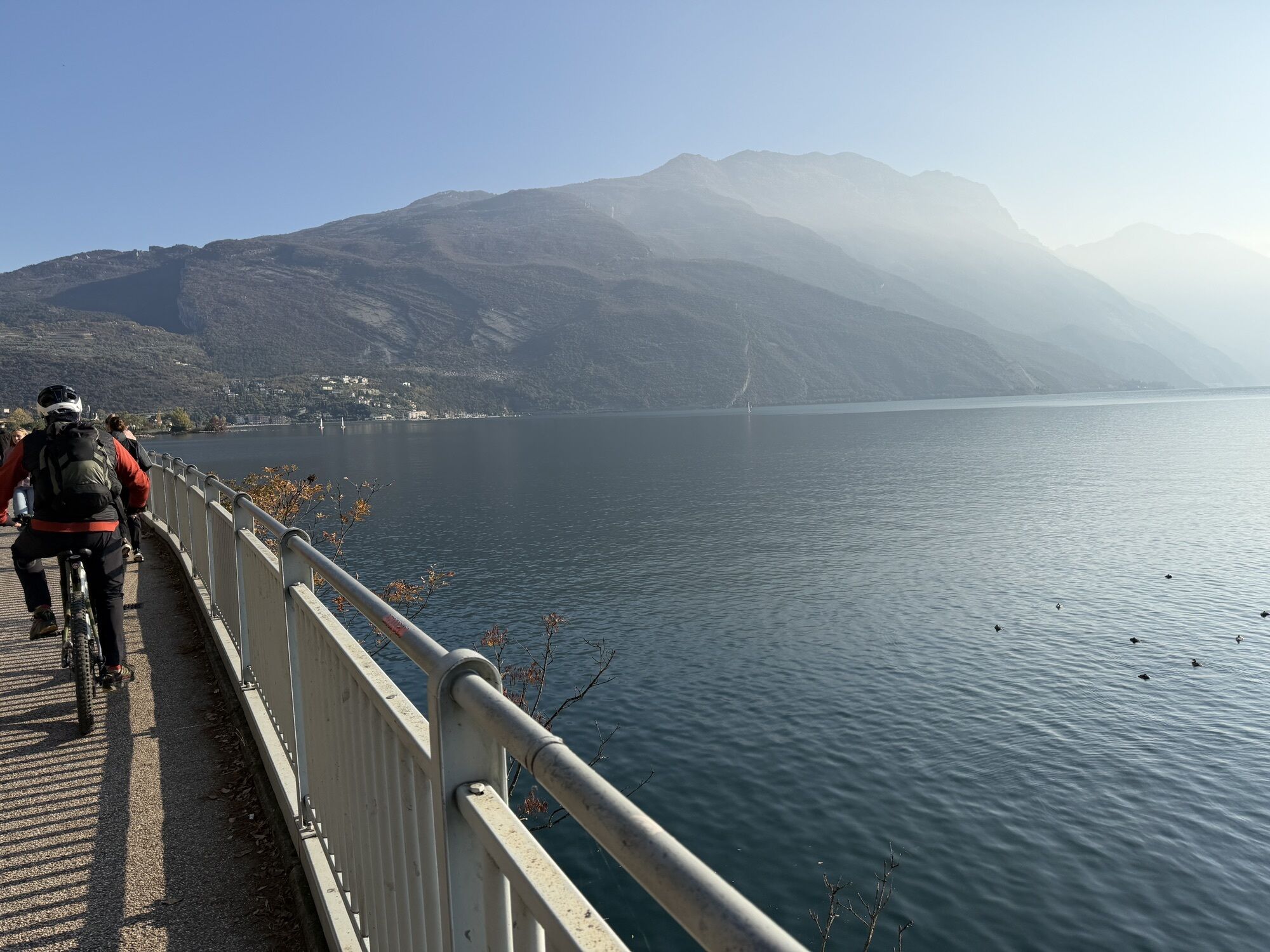

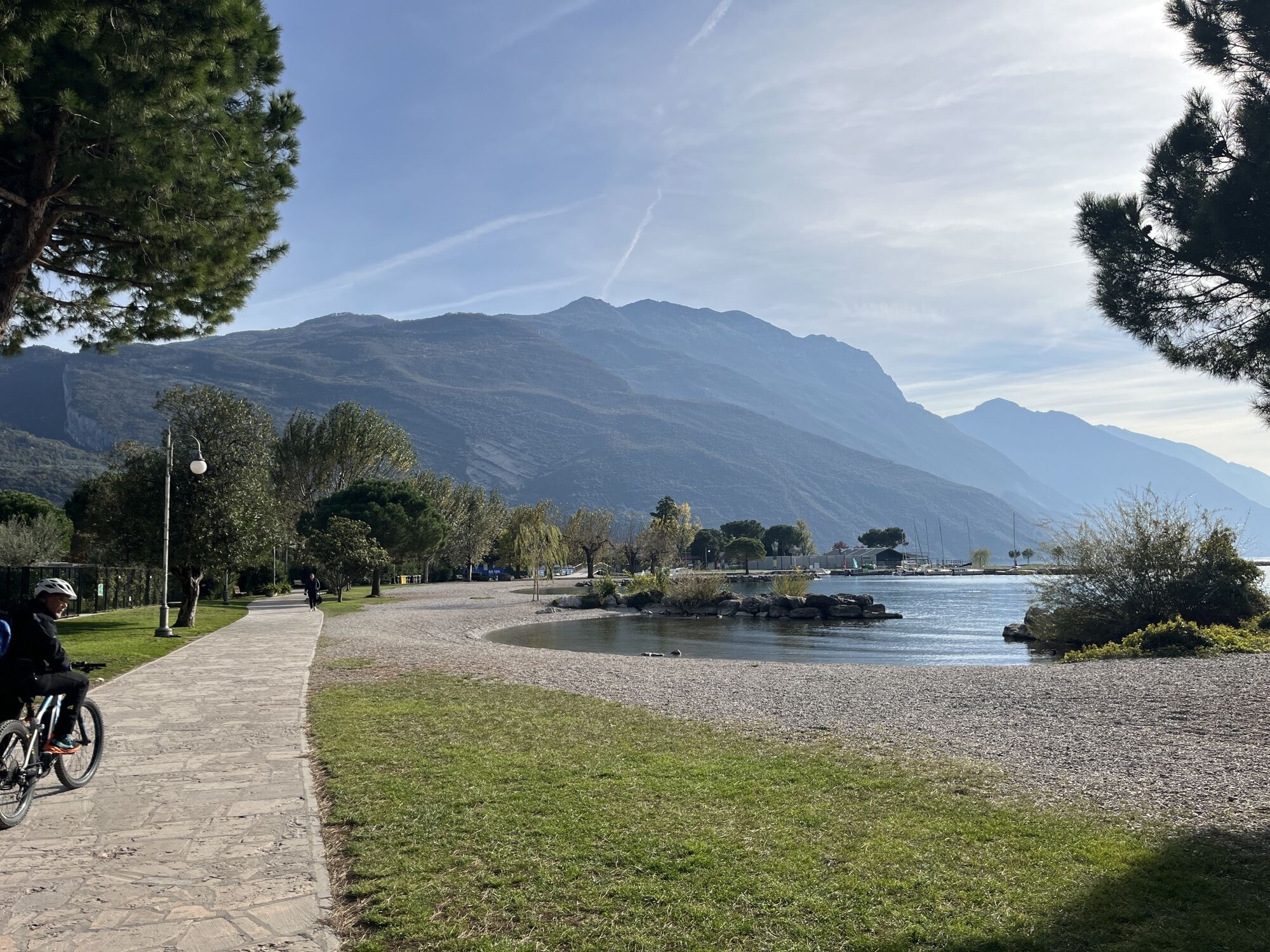
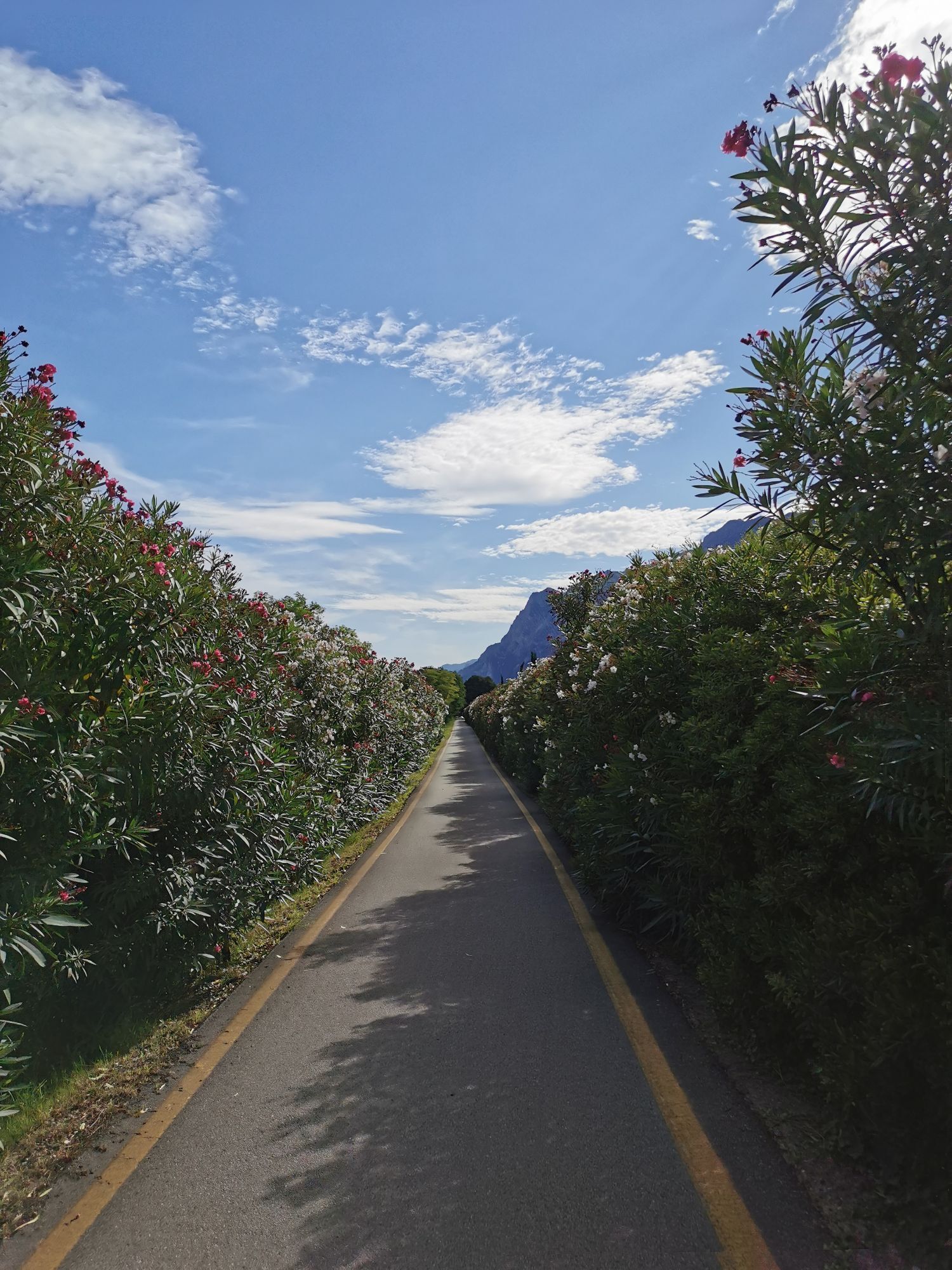
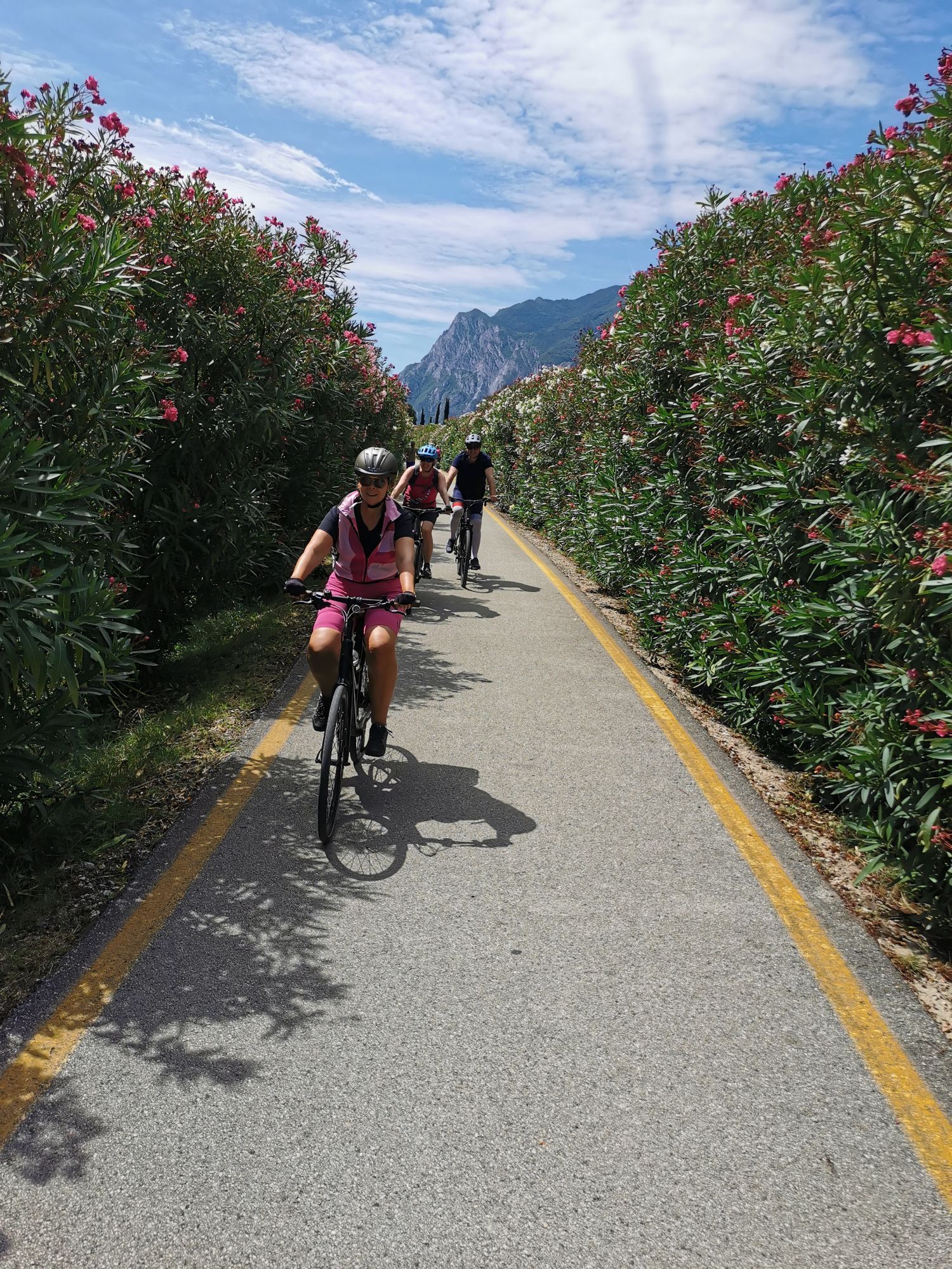
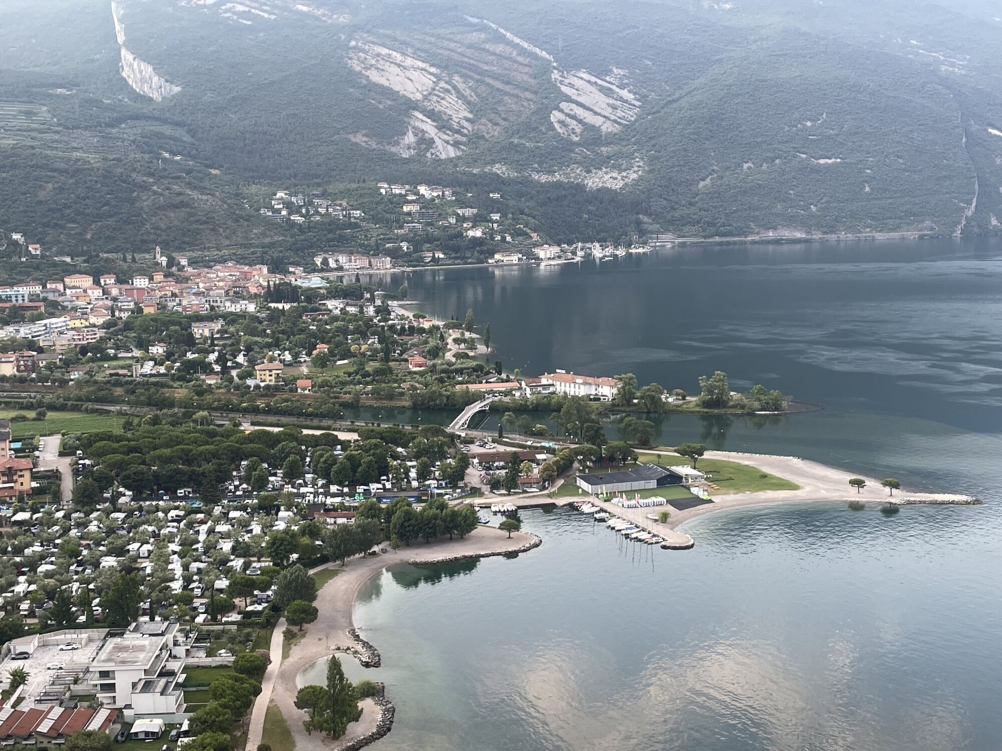

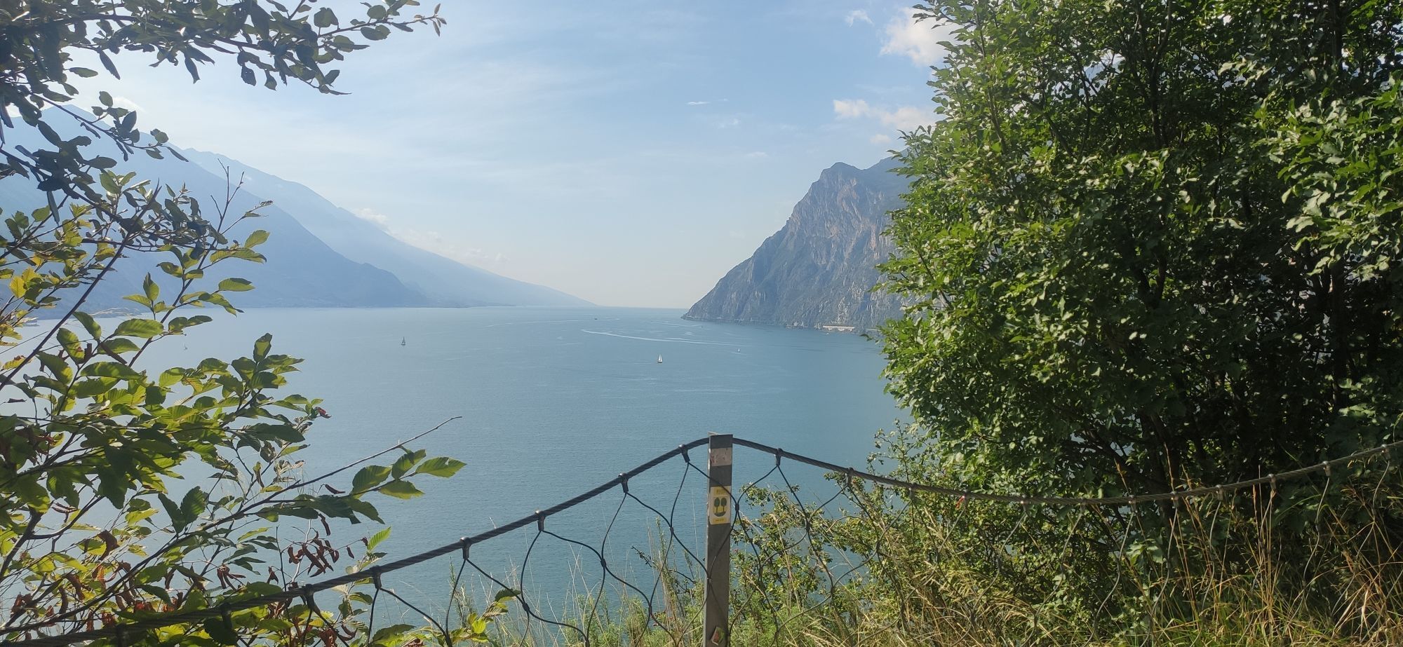
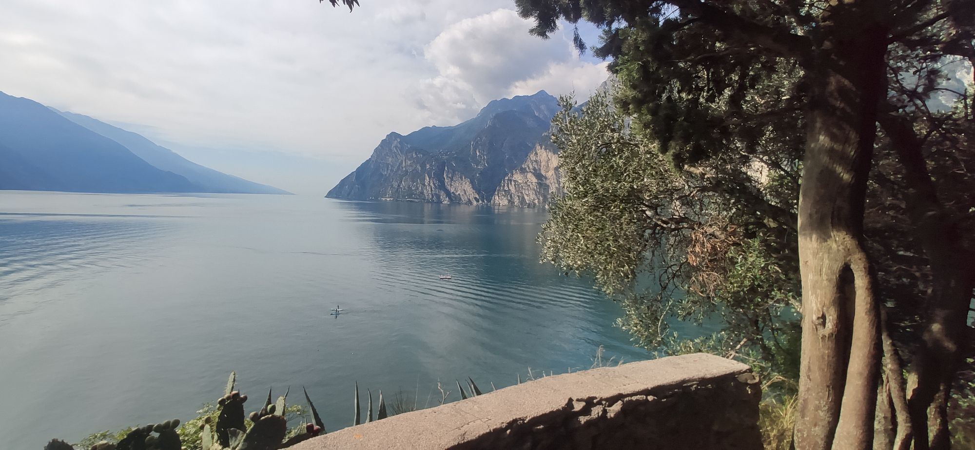
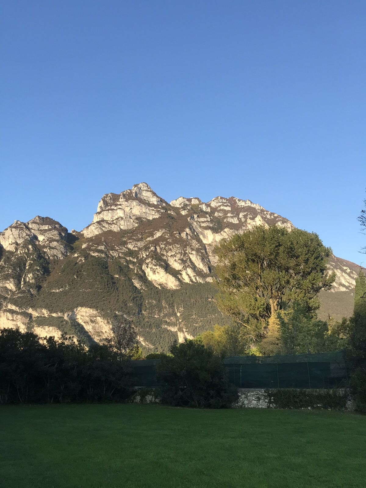
This itinerary is a loop around Monte Brione, the spur of rock which separates Riva del Garda from Torbole and is the unmistakeable profile of Garda Trentino. It is mainly a ride through built up areas,...
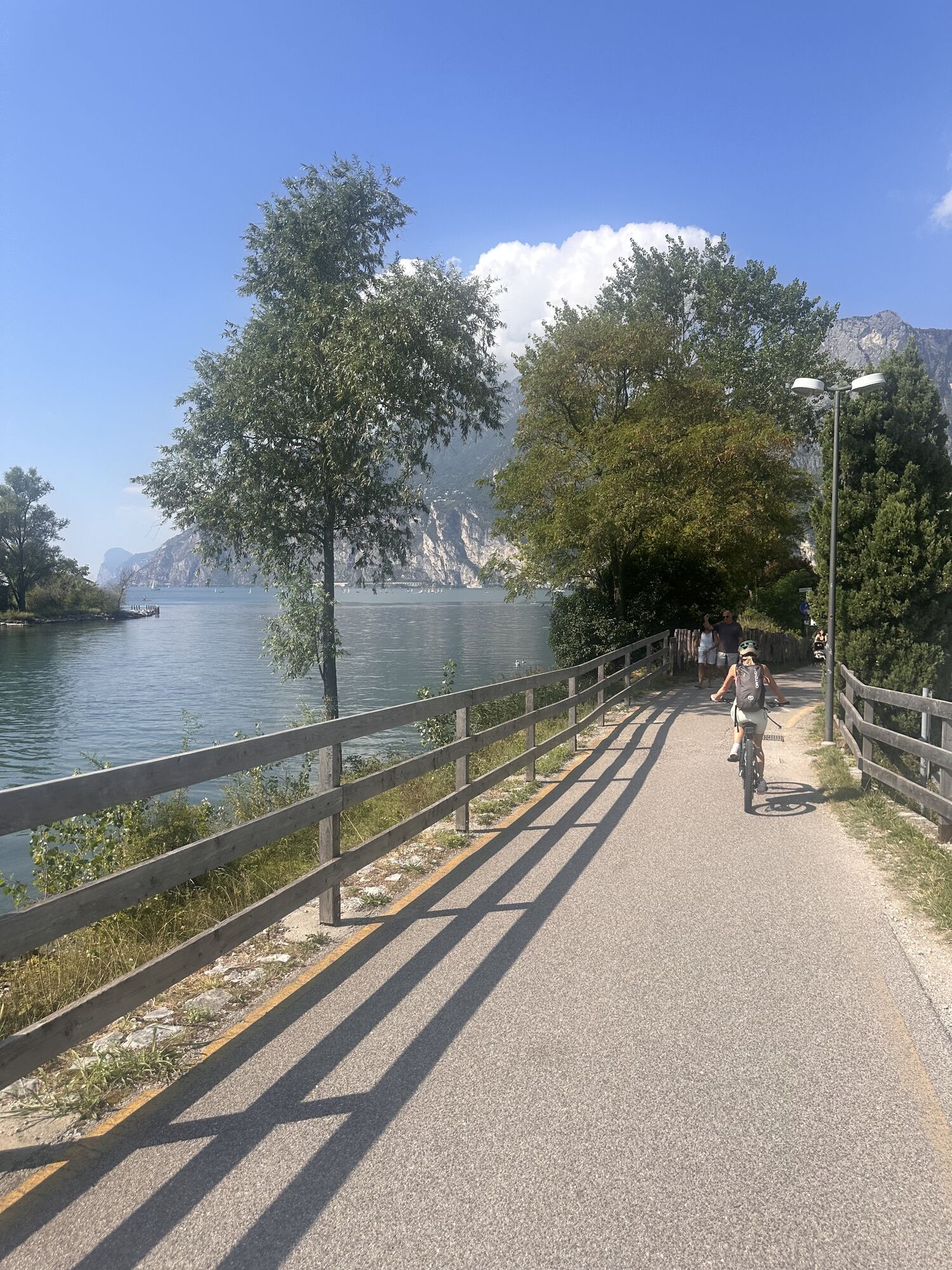
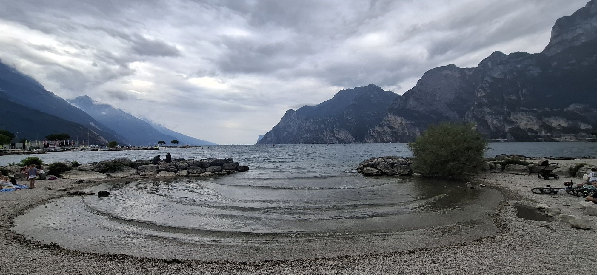
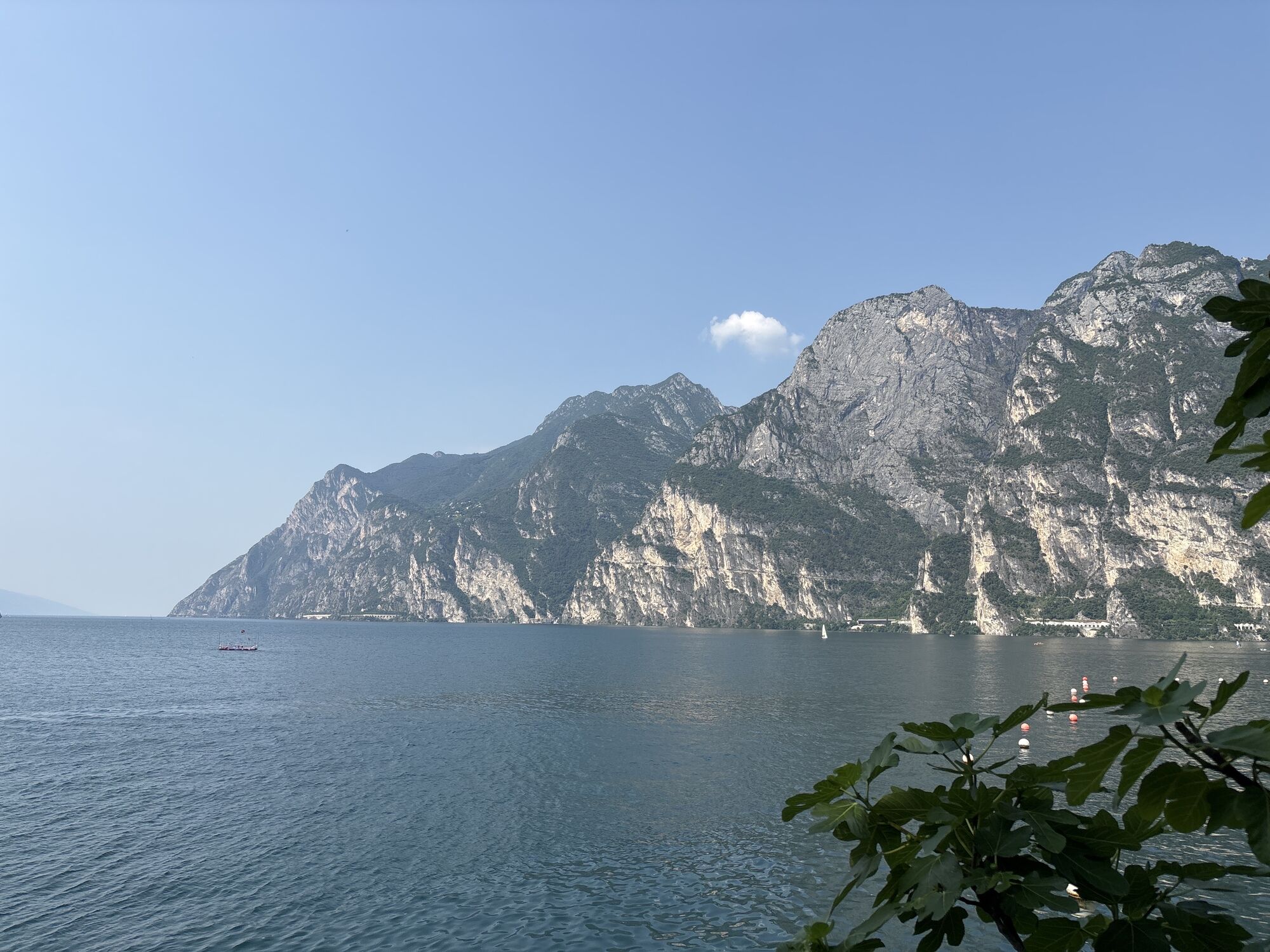
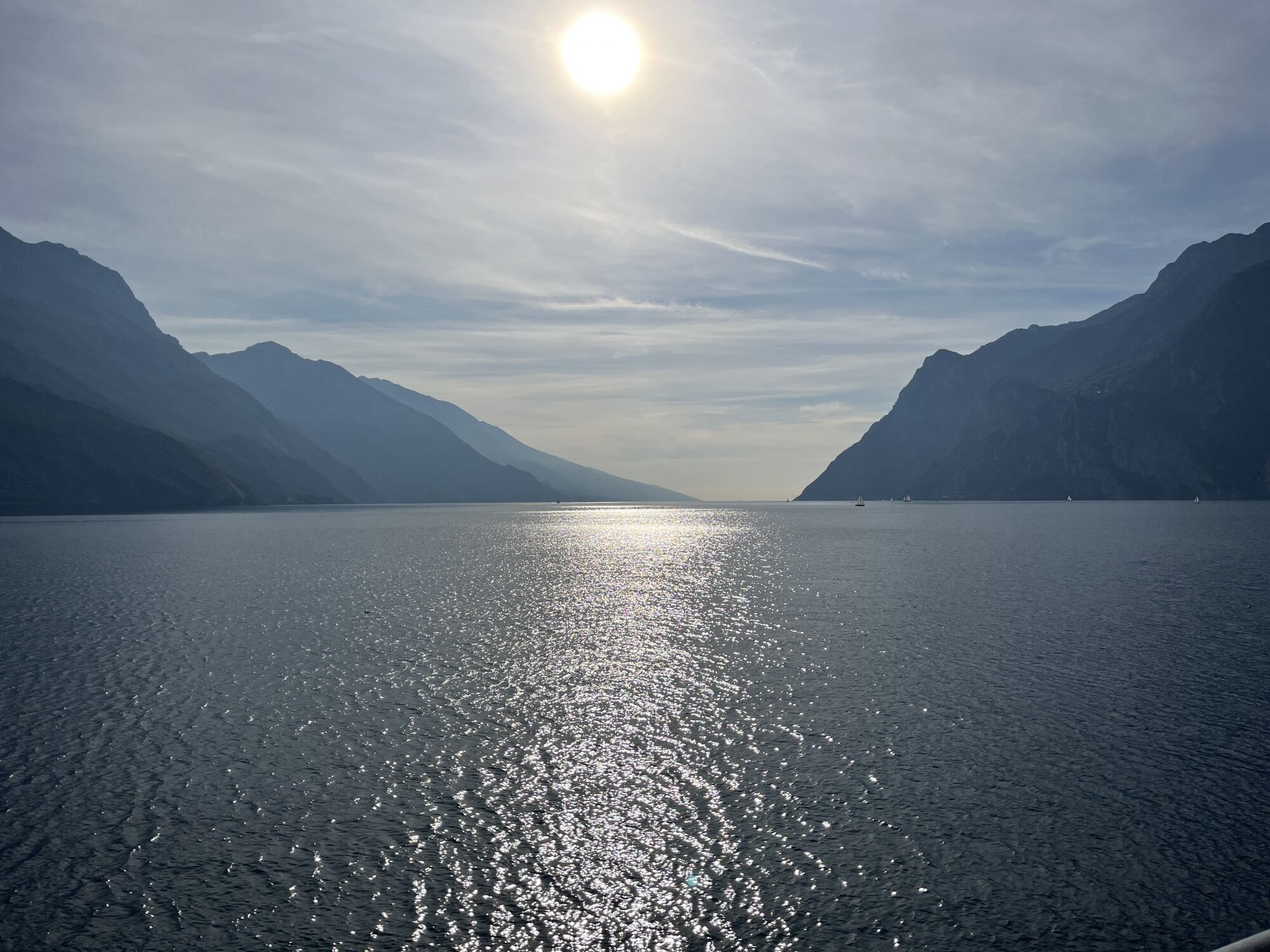
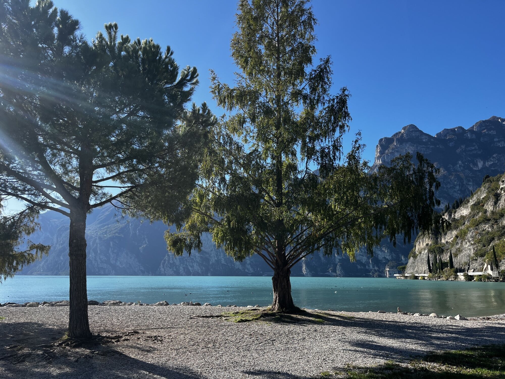
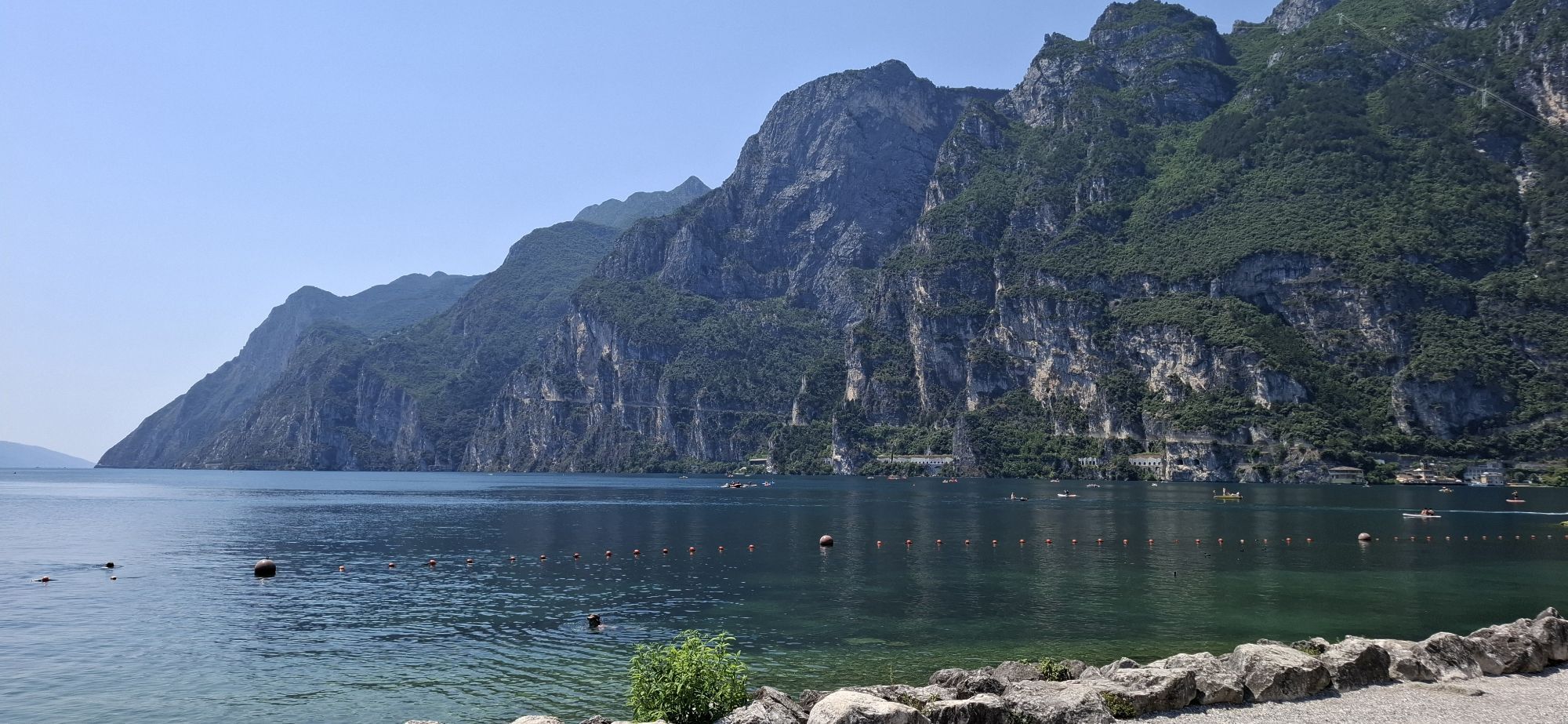
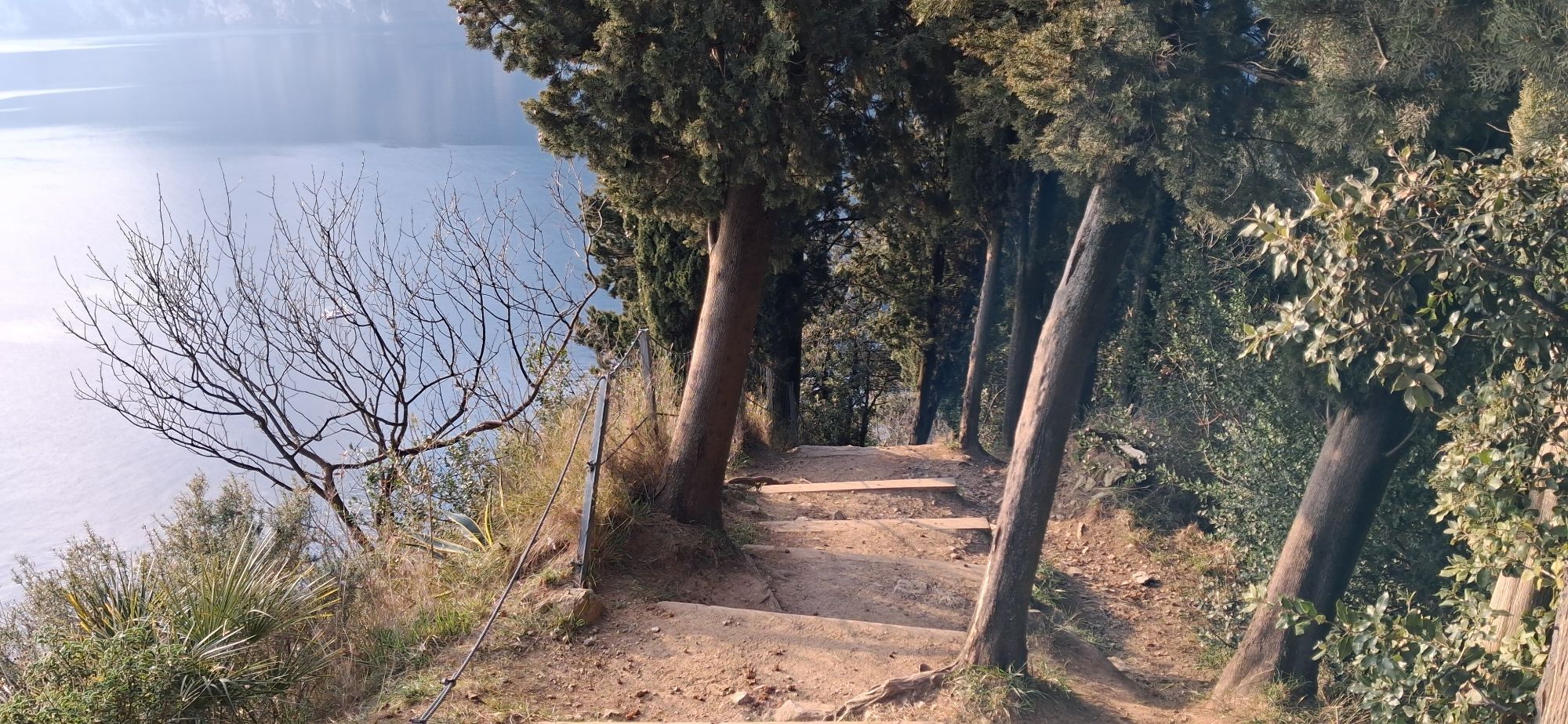
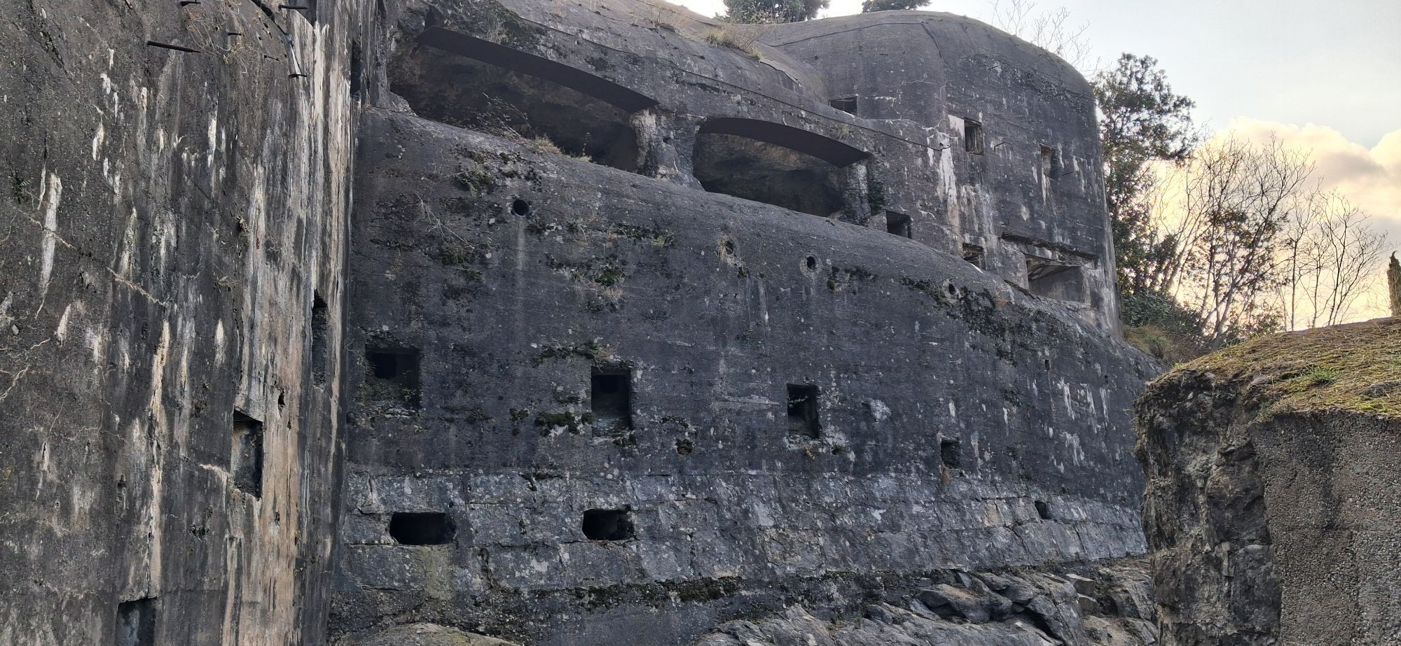
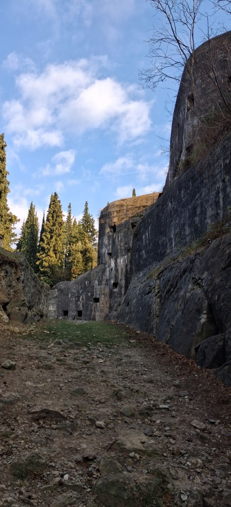
This itinerary is a loop around Monte Brione, the spur of rock which separates Riva del Garda from Torbole and is the unmistakeable profile of Garda Trentino. It is mainly a ride through built up areas, running along cycle paths and back roads which cut across the countryside at the foot of the mountain.
Since the entire route is on the flat, this tour presents no difficulties of any kind and is even suitable for small children as long as you watch out when crossing the roads.
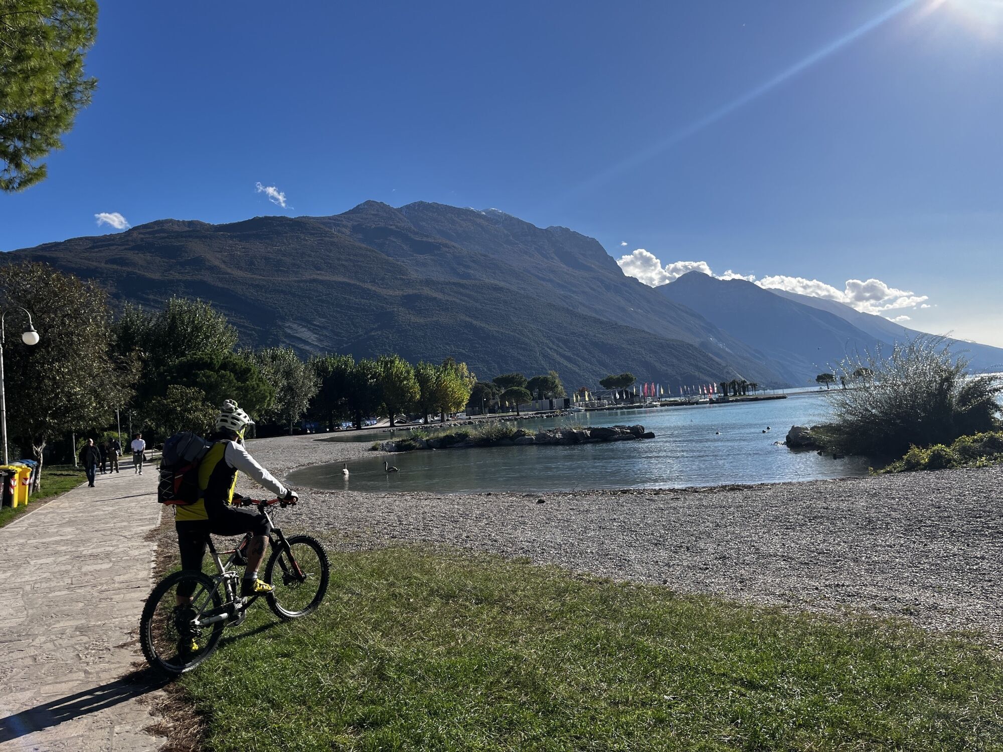
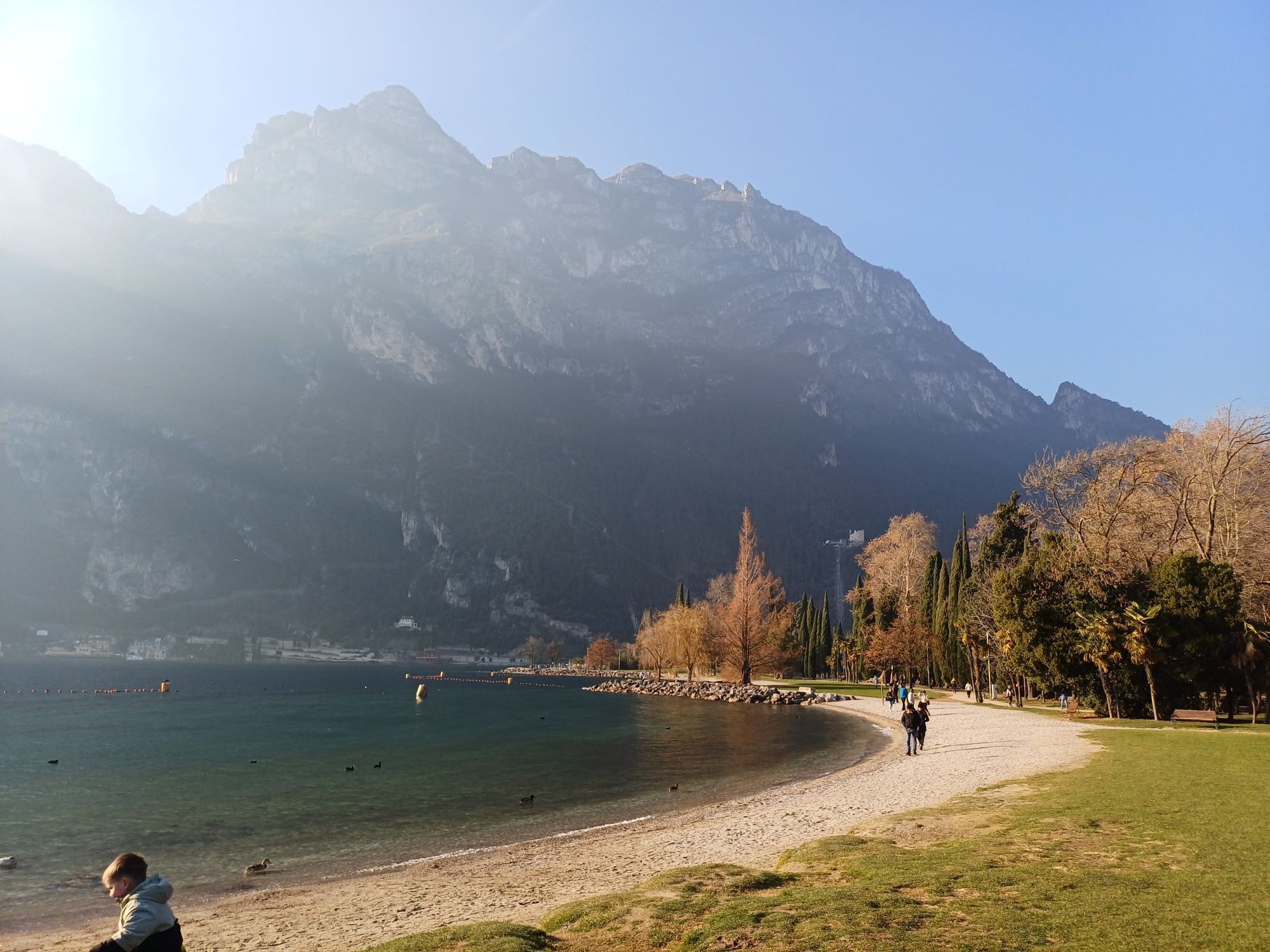
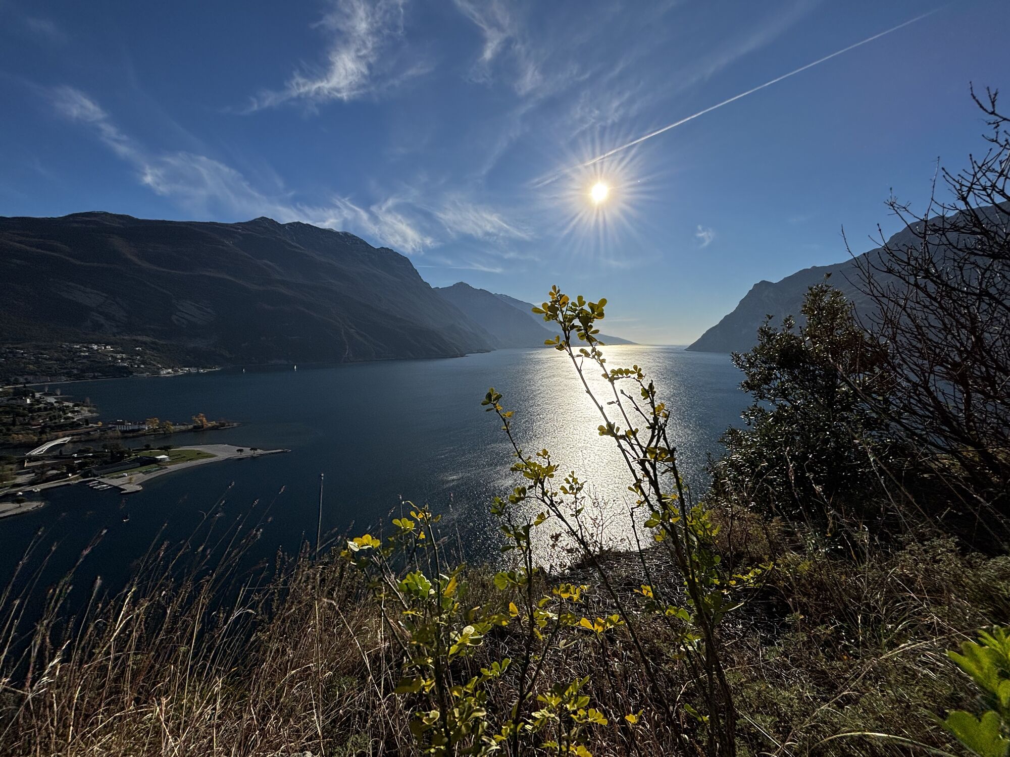
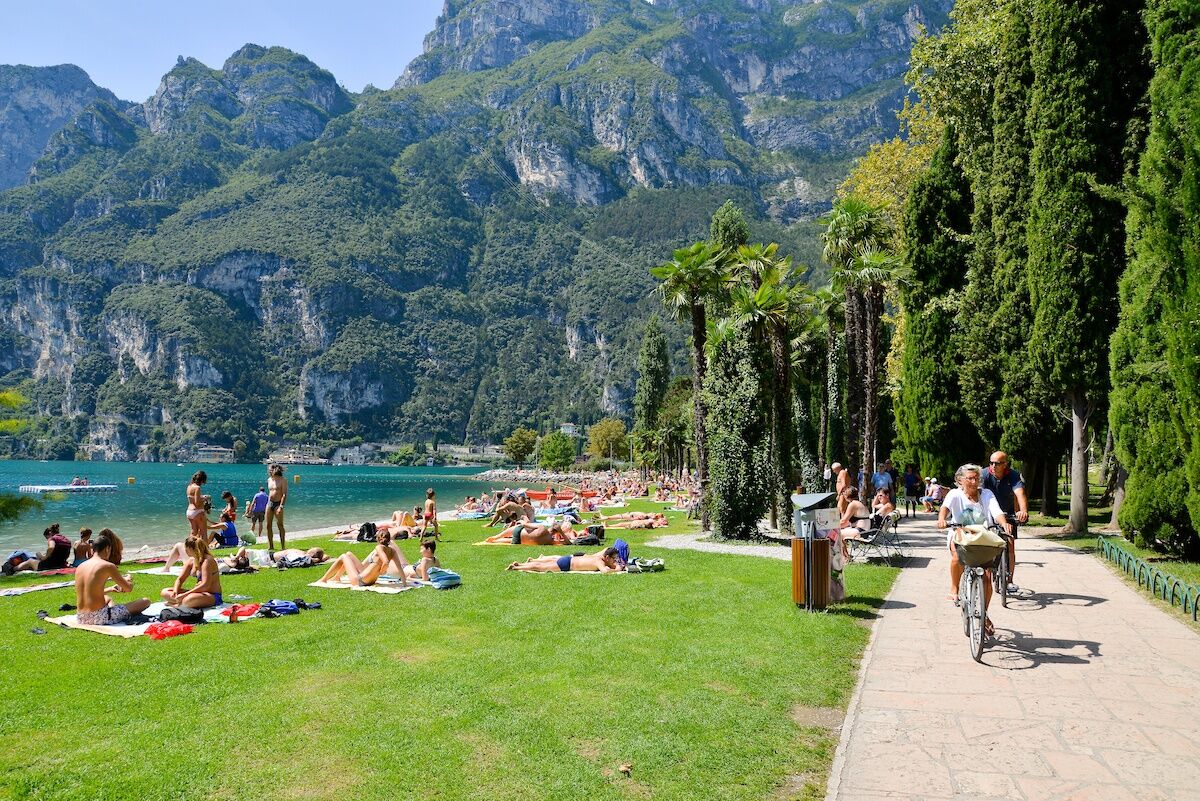
The stretch of the cycle path which links Torbole and Riva del Garda is without doubt one of the most popular with visitors and residents for the marvellous views it affords over Lake Garda. It is particularly busy in the summer season so watch out for the people walking along the cycle path or crossing it to get to the beach.

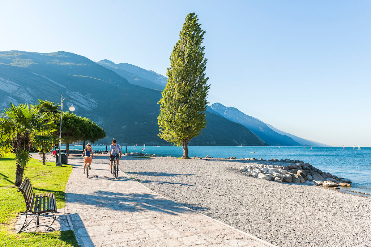

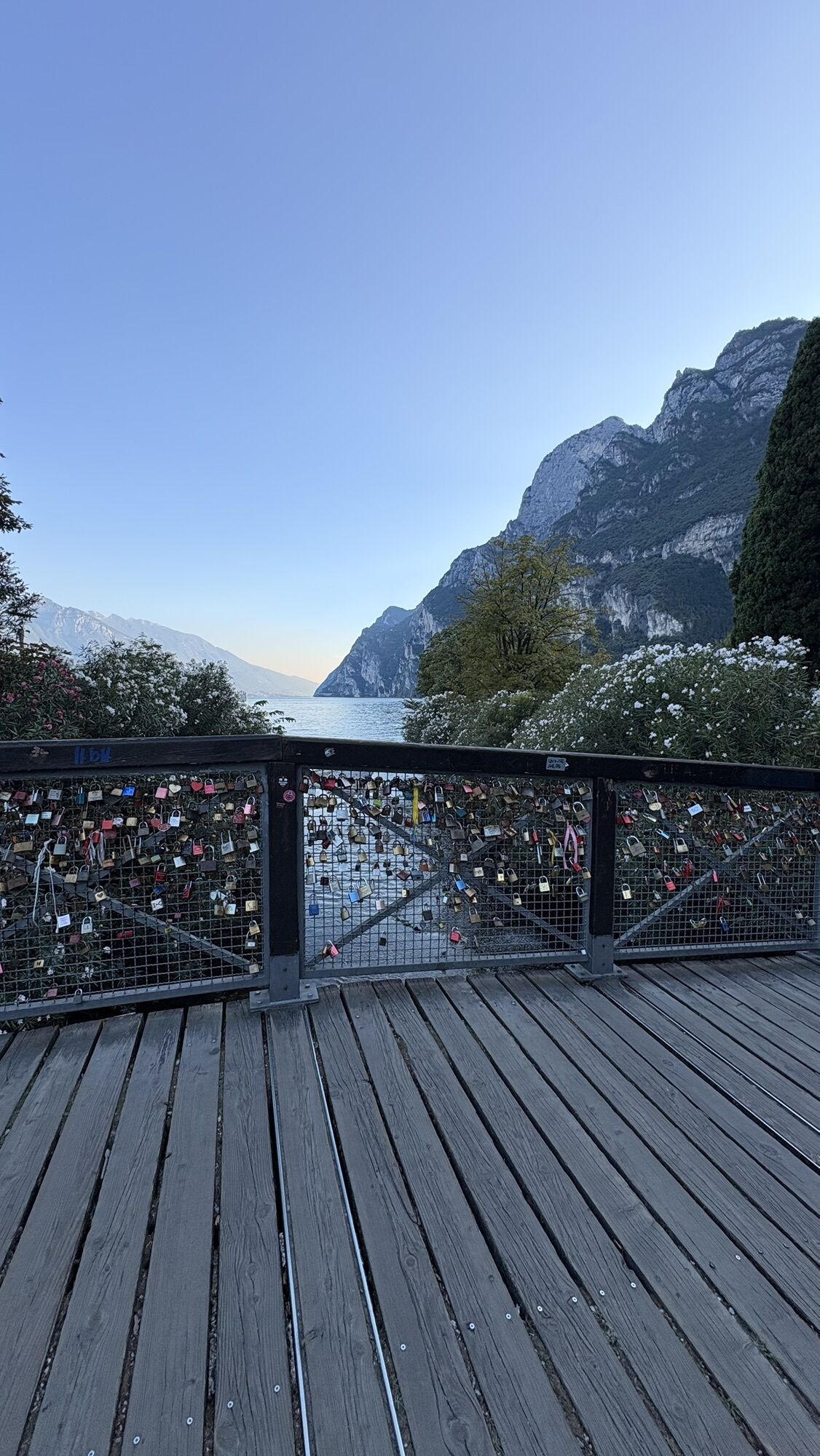
From the tourist information office in Riva del Garda head towards the lake: for a short distance you will need to push your bike along the lake shore. Cross the bridge over the Albola stream and turn right: this is the start of the protected cycle path reserved for bikes only.
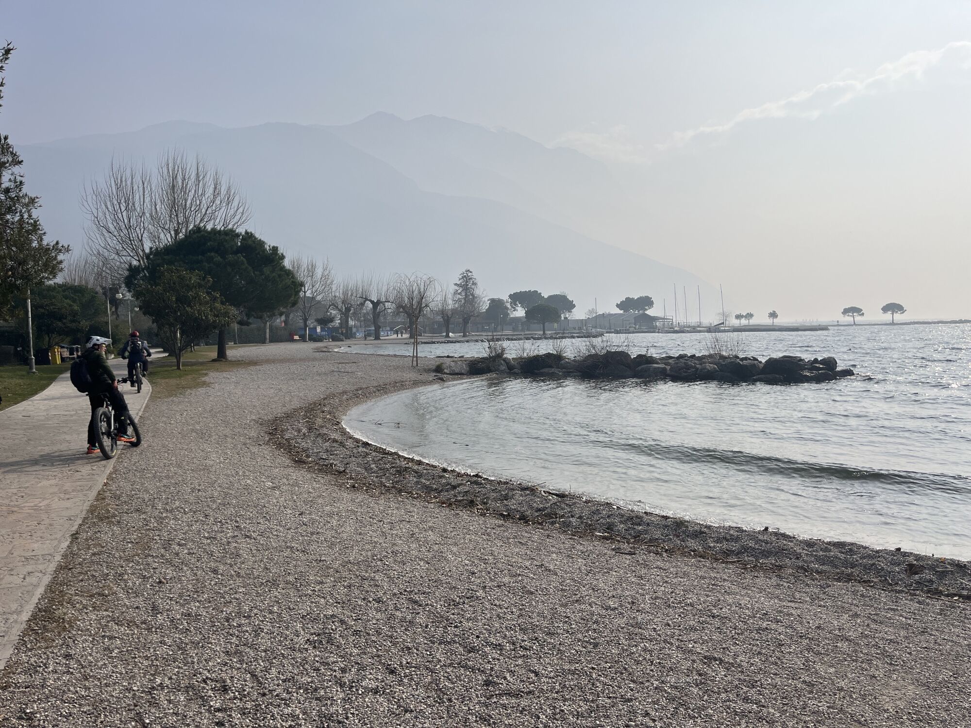
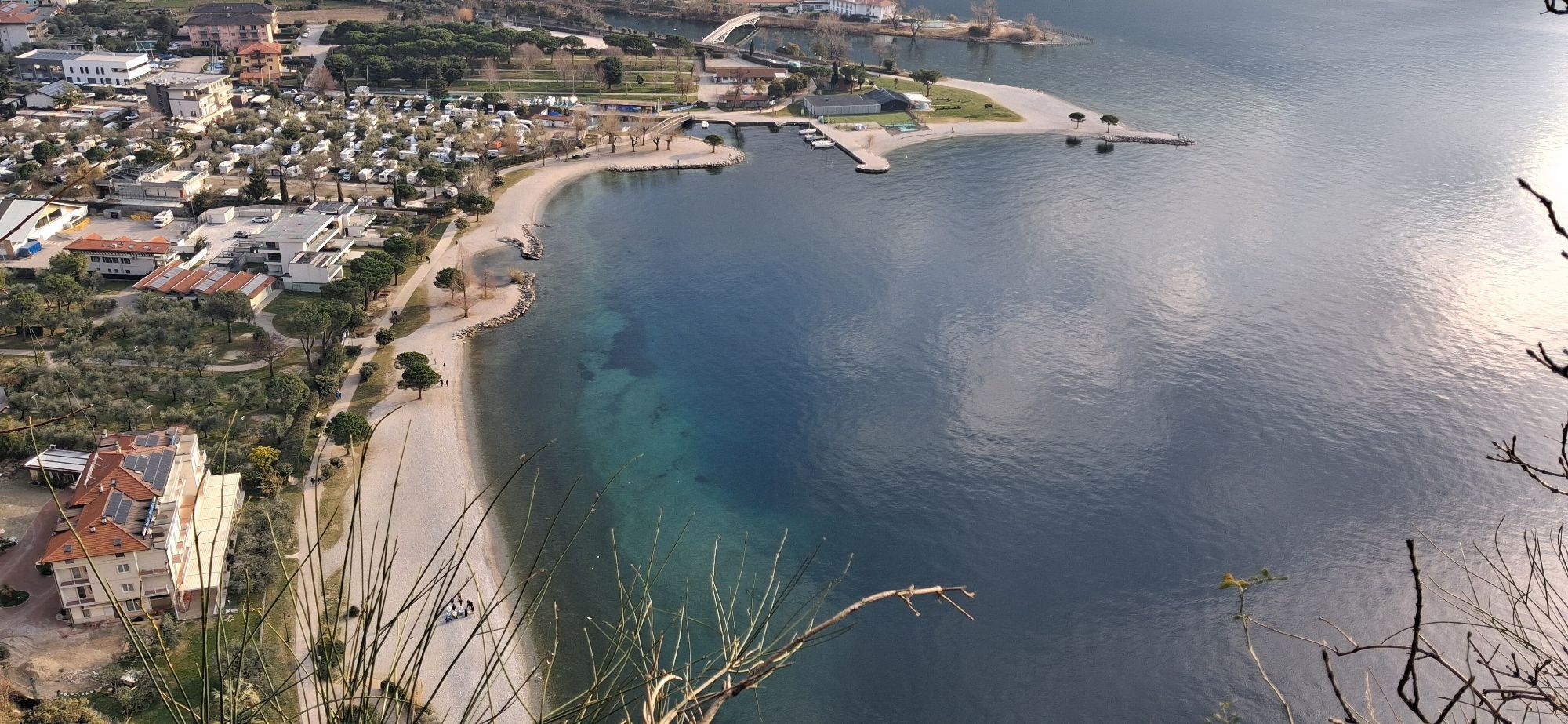
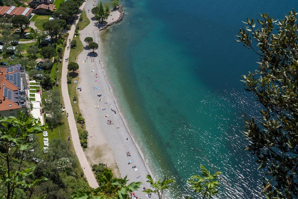
You cycle through a lovely park with the beach and the lake only a stone's throw away to your right. Keep following directions for the cycle path and cycle alongside the pedestrian walkway for a stretch. Soon you come to San Nicolò harbour. Here you cross the road at the pedestrian crossing and follow the cycle path marked in red on the ground. Continue along the cycle path across the slopes of Monte Brione covered in olive trees. Take the second lane on the right after the sports grounds which runs through the district of Sant'Alessandro.
Continue along the main road – you are now on a side road – until you come to Grotta di Arco. Keep on straight on via Monte Brione: after a bend to the left, follow the cycle path signpost and turn right onto a little road which winds through the countryside. At the end of the road turn right; at the stop sign take care crossing the road and then ride onto a short ramp onto the cycle path where you continue and turn right. The cycle path runs along the mouth of the River Sarca. Here you turn right onto the lake shore area. Watch out here as there is mixed traffic.
The pedestrian-cycle path continues towards Riva del Garda with a stretch overhanging the lake. You soon reach San Nicolò harbour and retrace the way you came to get back to your starting point.
Áno
Riding your bike requires specific clothing and equipment, even for relatively short and easy trips. It is always better to be prepared… e.g. for bad weather or a sudden drop in your energy levels. The unexpected things are part of the fun!
Remember to thoroughly evaluate the type of route you plan on doing, the locations you intend to cross and the current season. Has it been raining? Attention: The paths may be slippery and require more caution.
What do I need to bring on my bike tour?
An adequate water supply according to your needs (considering temperature, possibility of refuelling and duration of the route) Plenty of snacks (for example, dried fruit or energy bars) Waterproof / Windproof jacket A spare top / spare socks (Descending in a sweaty garment, will make you cold). Suncream Sunglasses Bike gloves/mitts Map or GPS device Bike lights: best placed on your helmet or handlebars. (It is always best to be prepared) Bike repair kit for punctures and mechanical breakdowns First aid kit Emergency whistleIt is always advised to let someone know where you plan to go and how long you expect to be.
Emergency telephone number 112.
Safety Tips
Always wear your helmet. Plan your ride. Obey the road signs, stop at traffic lights and do not ride on the wrong side of the road. You share the trail with other users. Yield right of way to hikers. Respect public and private property. Do not cycle solo in remote areas. Make sure your bike lights are working.This information is subject to inevitable variations, so none of these indications are absolute. It is not entirely possible to avoid giving inexact or imprecise information, given how quickly environmental and weather conditions can change. For this reason, we decline any responsibility for changes which the user may encounter. In any case, it is advisable to check environment and weather conditions before setting out.
Getting to northern lake Garda / Garda Trentino
The towns in Garda Trentino - Riva del Garda, Torbole sul Garda and Arco – are connected by several urban and intercity bus lines which will take you to the starting point or in the immediate surroundings.
For up-to-the-minute information on timetables and routes
You can also get to Riva del Garda and Torbole sul Garda by the public ferry service.
Free parking near the former hospital (Via Rosmini).
Paid parking: Terme Romane (Viale Roma), Vecchia stazione (Largo Medaglie d’Oro), Ex-agraria (Via Lutti).
1
You’ve already picked your cycling route—now all you need is the right support. Discover all the Bike Specialists in Garda Trentino: rentals, repair shops, and dedicated bike stores are ready to welcome you right here.
Stop off in one of the bars along the beach for an aperitivo or delicious ice cream with a lake view. What better way to wind up your bike ride?
Získajte prehľad
Vždy naživo na mieste s viac ako 9 500 webovými kamerami. bergfex Ako používateľ Pro si teraz môžete pozrieť príslušné webové kamery pre mnohé zájazdy v aplikácii zájazdy z. Môžete si tak priamo prezerať aktuálne podmienky.
Obľúbené výlety v okolí
-
5,0
Bastione and Santa Barbara, the lords of Riva del Garda
strednáTuristika 2,94 km -
5,0
Via Ferrata Signora delle Acque - Rio Ruzza
ťažkéVia ferrata 5,32 km -
4,8
Sentiero Busatte Tempesta
svetloTuristika 7,90 km -
4,8
Bocca Fortini - Tour
ťažkéMountainbike 35,4 km -
4,7
Via Ferrata Fausto Susatti - Cima Capi (from Ledro)
strednáVia ferrata 7,11 km -
4,7
Via Ferrata Rio Sallagoni
strednáVia ferrata 2,75 km -
4,6
Via Ferrata delle Laste e Gallerie di Cima Rocca
svetloVia ferrata 6,38 km -
4,5
Walking around Lake Ledro
svetloTuristika 9,40 km -
4,9
Via Ferrata dell’Amicizia - Cima SAT
strednáVia ferrata 4,41 km -
4,8
Ponale Path (from Ledro)
strednáTuristika 10,8 km
Turistika a stopovanie


Nenechajte si ujsť ponuky a inšpiráciu na ďalšiu dovolenku
Vaša e-mailová adresa bol pridaný do poštového zoznamu.





