Navigácia na stránke
Získajte túto prehliadku v mobilnom telefóne
Mapa
Moena - San Pellegrino Pass - Cencenighe - Agordo - Forcella Aurine - Cereda Pass - Tonadico - Rolle Pass - Predazzo - Moena

ťažké
Cestný bicykel
124,22 km
Naskenujte kód QR a spustite navigáciu v aplikácii bergfex
QR Code
Turistika a stopovanie

Moena - San Pellegrino Pass - Cencenighe - Agordo - Forcella Aurine - Cereda Pass - Tonadico - Rolle Pass - Predazzo - Moena

Vzdialenosť
124,2 km
Trvanie
12:00 h
Ascent
3 230 hm
Hladina mora
586 - 1 969 m

Úroveň náročnosti: 6
Stiahnutie skladby
Mapa
Moena - San Pellegrino Pass - Cencenighe - Agordo - Forcella Aurine - Cereda Pass - Tonadico - Rolle Pass - Predazzo - Moena
ťažké
Cestný bicykel
124,22 km

From Moena, begin the first ascent, leading to the panoramic area of the village, with a breath-taking view on Rosengarten and Sassolungo. At the crossroads, turn right and follow the state road 346 (S.S....

Opis

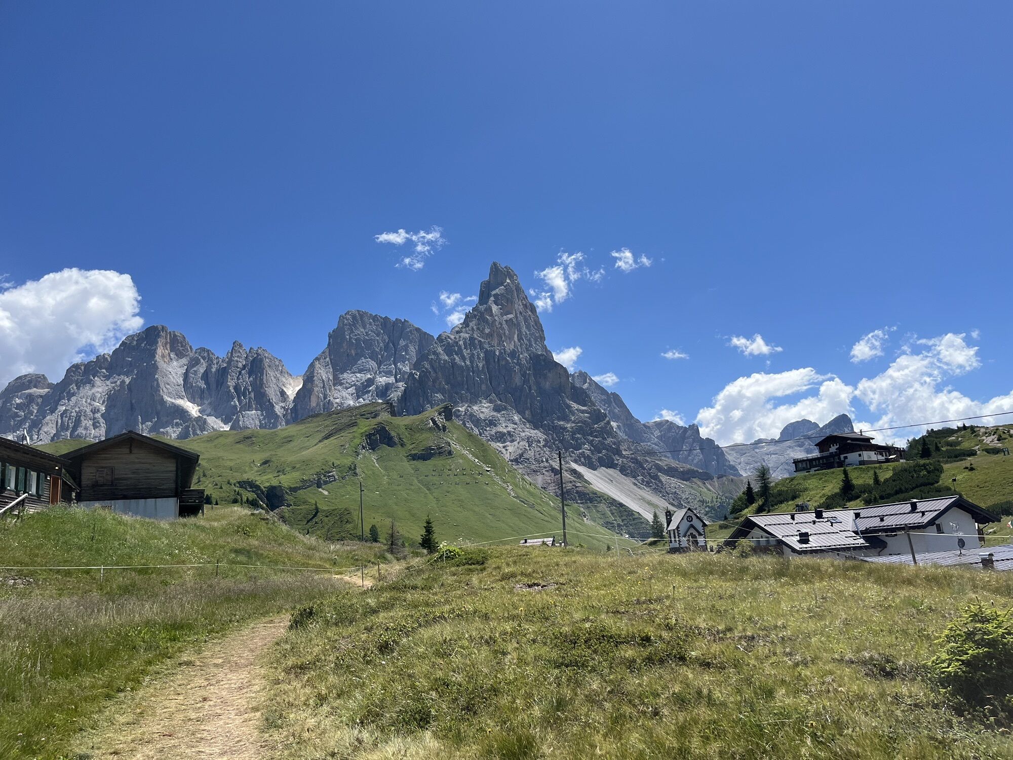
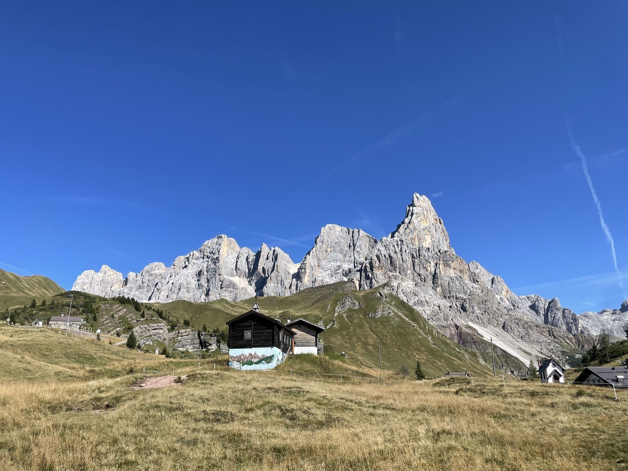
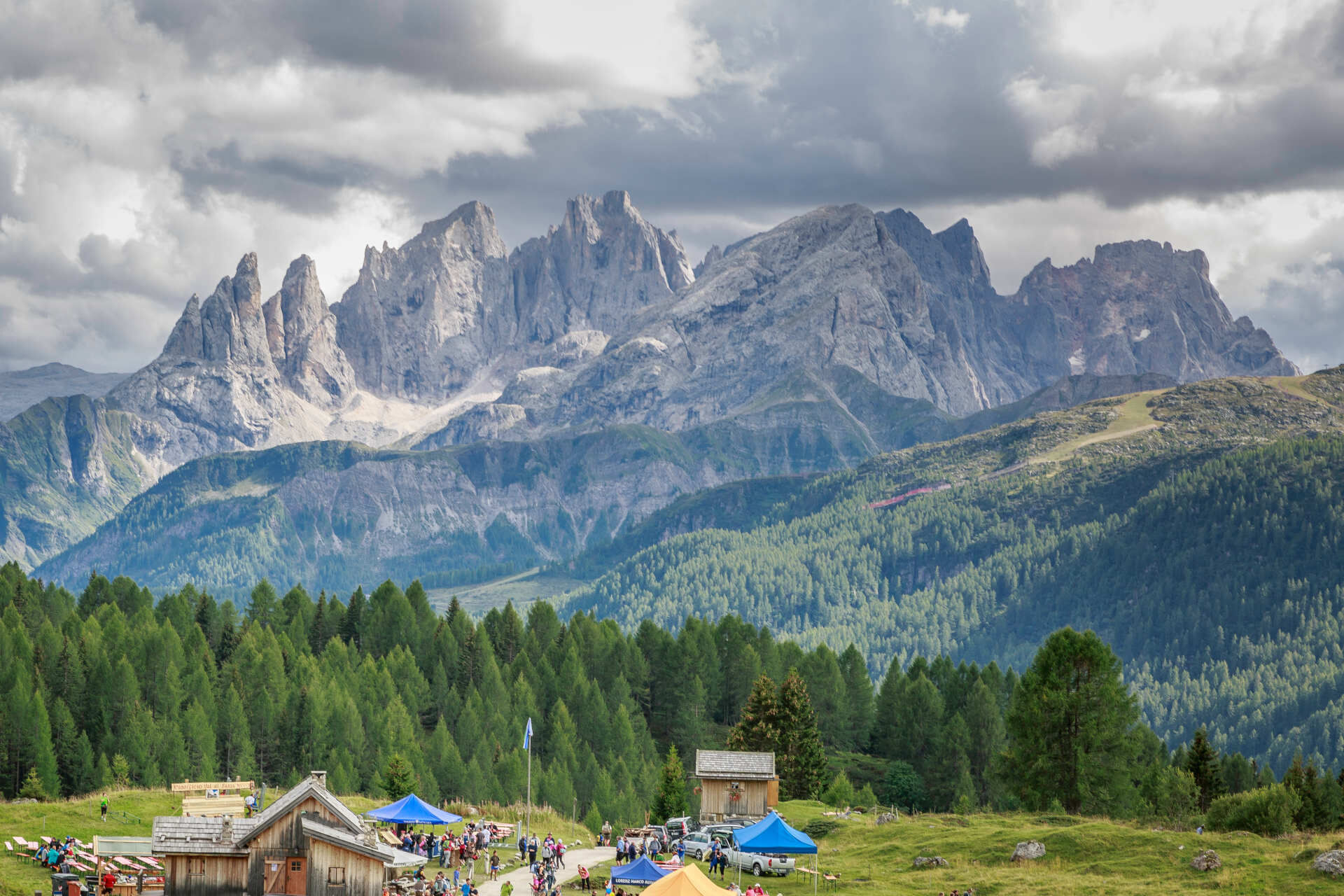
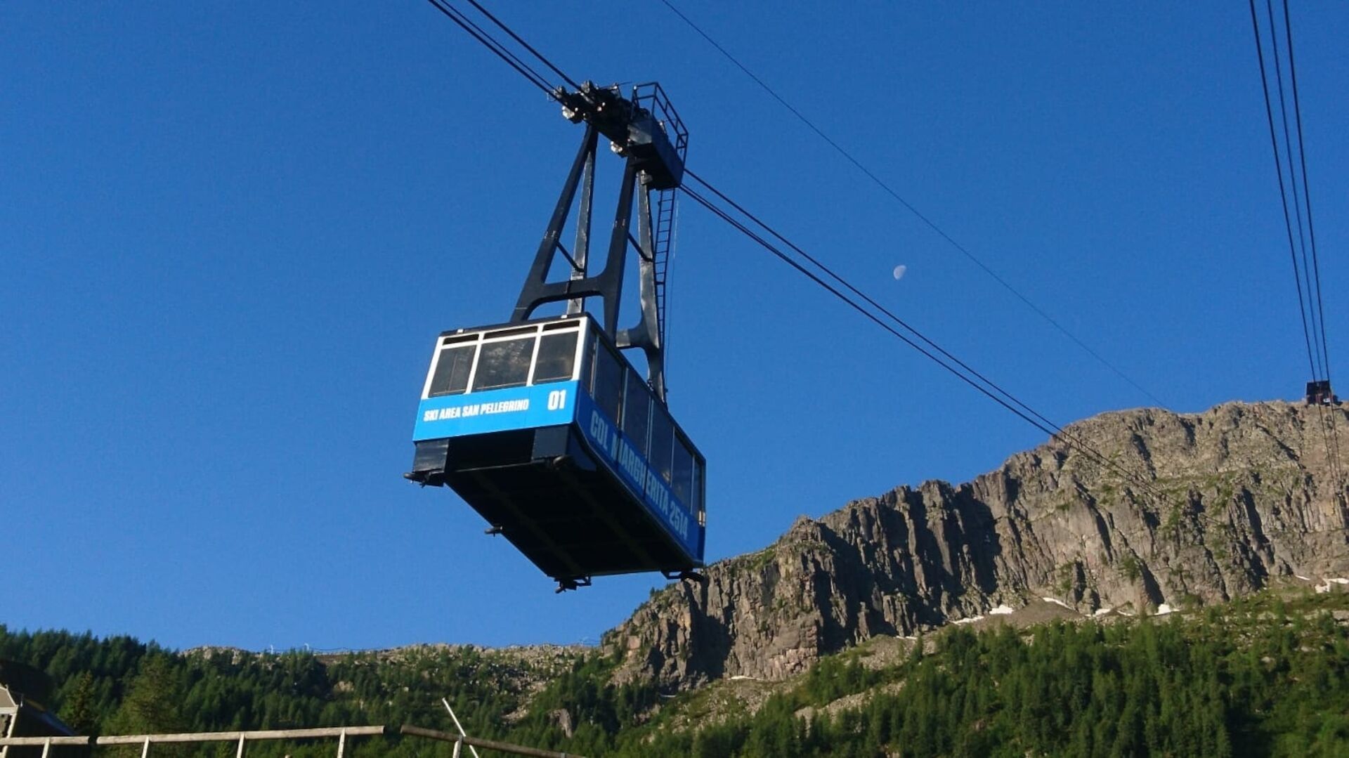
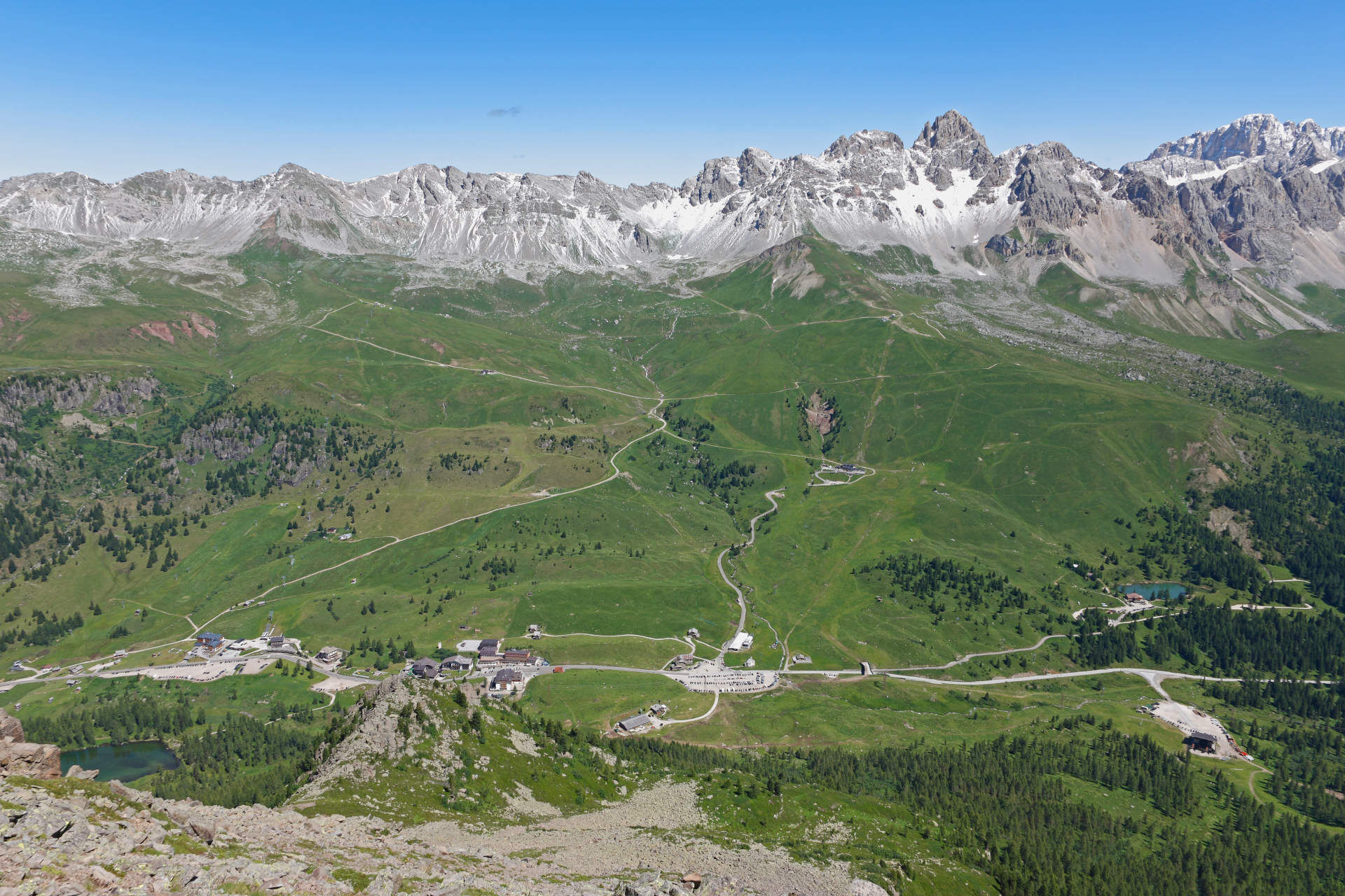
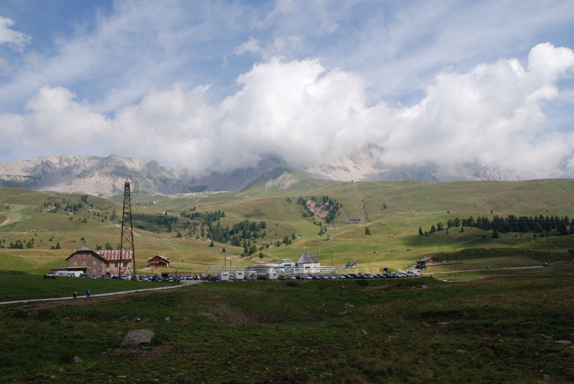
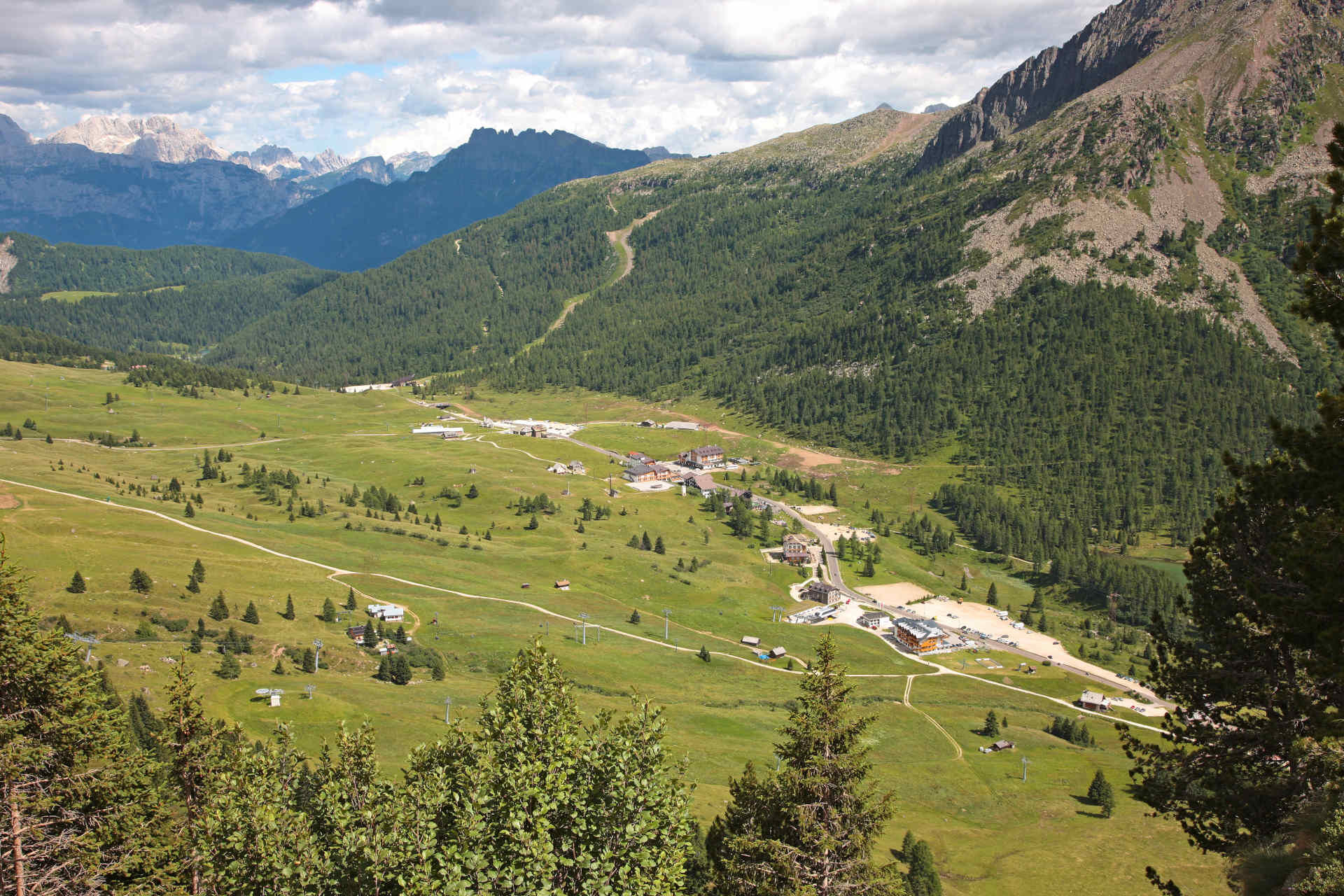
From Moena, begin the first ascent, leading to the panoramic area of the village, with a breath-taking view on Rosengarten and Sassolungo. At the crossroads, turn right and follow the state road 346 (S.S. 346). Pedal easily leaving the valley station of Lusia lift, in the resort of Ronchi, on your left (4,5 km). Proceed alternating short stretches with strong gradients (from 10% to 14%) and long straightaways (only 4 hairpin turns), passing through the resorts of Fango and Alochet. It’s a total of 13 kilometres to climb to San Pellegrino Pass, several times stage or stage finish of Giro d’Italia (2003 with the victory of Gilberto Simoni and 2006 with the Spanish Juan Manuel Gàrate). After leaving the valley station of Col Margherita cable car on your right, begin the fast descent of 28 km ‘till Agordo. Start going up again, following the provincial road 347 (S.P. 347) which, in 12 km, leads to Forcella Aurine (1.299 m; average gradient of 5,8%). After two ups and downs, you easily reach Cereda Pass. Face the descent ‘till Tonadico, in the resort of Primiero, and from here ascend again towards Rolle Pass, along the state road 50 (S.S. 50; average gradient of 5,4%), then proceed downhill towards the villages of Bellamonte and Predazzo. Return to Moena along the state road 48 (S.S. 48).

Trasa
Chiesa Parrocchiale della Beata Vergine Immacolata
(1 198 m)
Miesto uctievania
22,0 km
Chiesa di Sant'Antonio Abate
(777 m)
Miesto uctievania
31,2 km
Agordo
(610 m)
Mesto
41,0 km
Parrocchiale di Gosaldo
(1 143 m)
Miesto uctievania
57,4 km
Masoch
(1 202 m)
Zúčtovanie
58,6 km
Toè
(1 229 m)
Zúčtovanie
67,1 km
Chiesa Arcipretale SS. Filippo e Giacomo
(1 016 m)
Miesto uctievania
116,0 km
Trasa
Mapa
Moena - San Pellegrino Pass - Cencenighe - Agordo - Forcella Aurine - Cereda Pass - Tonadico - Rolle Pass - Predazzo - Moena
ťažké
Cestný bicykel
124,22 km
Moena
(1 170 m)
Dedina
1,1 km
Fanch - Fango
(1 646 m)
Koridor/terén
7,8 km
Bar Ristorante Malga Negritella
(1 769 m)
Reštaurácia
9,8 km
Alochet
(1 788 m)
Reštaurácia
10,0 km
Snow thrill
(1 906 m)
Reštaurácia
12,5 km
Chalet Isabella
(1 913 m)
Reštaurácia
13,3 km
Zingari Bassi
(1 748 m)
Koridor/terén
15,5 km
Ganz
(1 348 m)
Zúčtovanie
20,2 km
Falcade Alto
(1 307 m)
Zúčtovanie
20,5 km
chiesa di San Sebastiano
(1 294 m)
Miesto uctievania
20,7 km
Villotta
(1 212 m)
Zúčtovanie
21,1 km
Molino
(1 195 m)
Susedstvo
21,6 km
Chiesa Parrocchiale della Beata Vergine Immacolata
(1 198 m)
Miesto uctievania
22,0 km
Pizzeria La Stua
(1 156 m)
Reštaurácia
22,7 km
Falcade
(1 140 m)
Dedina
23,3 km
Caviola
(1 101 m)
Dedina
25,3 km
La Mora
(1 059 m)
Zúčtovanie
25,7 km
Canale d'Agordo
(972 m)
Dedina
26,8 km
Celat
(966 m)
Zúčtovanie
28,3 km
Mas
(902 m)
Zúčtovanie
29,1 km
Balestier
(913 m)
Zúčtovanie
31,1 km
Chiesa di Sant'Antonio Abate
(777 m)
Miesto uctievania
31,2 km
I Coi
(792 m)
Zúčtovanie
31,4 km
Villagrande
(774 m)
Zúčtovanie
31,4 km
Cencenighe Agordino
(769 m)
Dedina
31,5 km
Veronetta
(772 m)
Susedstvo
31,5 km
Le Grave
(762 m)
Susedstvo
31,8 km
Palù
(760 m)
Zúčtovanie
31,9 km
Antica Trattoria Pizzeria PALU’
(753 m)
Reštaurácia
32,2 km
Pascol
(759 m)
Zúčtovanie
32,3 km
Col da Campo
(783 m)
Zúčtovanie
32,3 km
Roa
(765 m)
Zúčtovanie
32,4 km
Vare Alte
(777 m)
Zúčtovanie
32,7 km
Vare Basse
(747 m)
Zúčtovanie
32,7 km
Faè
(748 m)
Zúčtovanie
32,7 km
Ghirlo
(744 m)
Zúčtovanie
32,8 km
Morbiach
(731 m)
Zúčtovanie
33,2 km
Listolade
(680 m)
Dedina
36,8 km
Ronch de Bós
(670 m)
Zúčtovanie
37,7 km
Pèden
(623 m)
Dedina
38,4 km
Taibon Agordino
(616 m)
Dedina
38,8 km
Bries
(626 m)
Zúčtovanie
39,4 km
Prompicai
(614 m)
Zúčtovanie
40,3 km
Toccol
(612 m)
Zúčtovanie
40,3 km
Parech
(624 m)
Zúčtovanie
40,5 km
Agordo
(610 m)
Mesto
41,0 km
La Pief de Agort
(613 m)
Dedina
41,2 km
Brugnàch
(606 m)
Dedina
42,3 km
Valcozzena
(584 m)
Zúčtovanie
43,0 km
Cristo delle Pianezze
(676 m)
Miesto uctievania
43,5 km
Le Corone
(773 m)
Zúčtovanie
45,0 km
Contùra
(839 m)
Zúčtovanie
45,9 km
Voltago Agordino
(869 m)
Dedina
46,5 km
Madonna della Salute
(890 m)
Miesto uctievania
46,9 km
Bertoi
(1 057 m)
Zúčtovanie
49,1 km
Vich
(1 093 m)
Zúčtovanie
49,9 km
Frassenè Agordino
(1 180 m)
Zúčtovanie
50,1 km
Chiesa di Frassenè
(1 079 m)
Miesto uctievania
50,1 km
La Vila
(1 071 m)
Zúčtovanie
50,2 km
Forcella Aurine
(1 300 m)
Zúčtovanie
53,9 km
Sant'Andrea
(1 255 m)
Zúčtovanie
56,0 km
Parrocchiale di Gosaldo
(1 143 m)
Miesto uctievania
57,4 km
Don di Gosaldo
(1 138 m)
Dedina
57,4 km
Pette
(1 090 m)
Zúčtovanie
58,0 km
Masoch di Sotto
(1 169 m)
Zúčtovanie
58,5 km
Masoch
(1 202 m)
Zúčtovanie
58,6 km
Tonon
(1 134 m)
Zúčtovanie
59,1 km
Caldras
(1 147 m)
Zúčtovanie
59,1 km
Pongan
(1 192 m)
Zúčtovanie
59,7 km
Sarasin
(1 149 m)
Zúčtovanie
60,5 km
Titelle
(1 128 m)
Zúčtovanie
60,7 km
Ciet
(1 172 m)
Zúčtovanie
60,9 km
Marchet
(1 155 m)
Zúčtovanie
61,0 km
Mis di Sopra
(1 146 m)
Susedstvo
61,6 km
Pizzeria Miravalli
(1 116 m)
Reštaurácia
61,7 km
Mis di Mezzo
(1 100 m)
Susedstvo
61,7 km
Mis
(1 100 m)
Zúčtovanie
61,7 km
Padreterno
(1 319 m)
Zúčtovanie
64,2 km
Agriturismo Broch
(1 368 m)
Reštaurácia
64,9 km
Passo Cereda
(1 376 m)
Zúčtovanie
65,0 km
Maso Cereda
(1 271 m)
Zúčtovanie
66,7 km
Toè
(1 229 m)
Zúčtovanie
67,1 km
Baita del Vecio
(1 106 m)
Reštaurácia
68,4 km
Tonadico
(749 m)
Dedina
72,5 km
Fol
(733 m)
Susedstvo
72,8 km
Tressane
(726 m)
Susedstvo
73,0 km
Fiera di Primiero
(714 m)
Dedina
73,1 km
Siror
(766 m)
Dedina
74,3 km
Nolesca
(770 m)
Susedstvo
74,5 km
Valmesta
(1 114 m)
Zúčtovanie
80,5 km
Sass Maor
(1 449 m)
Reštaurácia
85,8 km
San Martino di Castrozza
(1 447 m)
Dedina
86,2 km
Ristorante Bar Da Meto
(1 513 m)
Reštaurácia
86,7 km
Passo Rolle
(1 967 m)
Koridor/terén
95,2 km
Malga Rolle
(1 904 m)
Reštaurácia
96,1 km
Paneveggio
(1 542 m)
Dedina
101,8 km
Bar Pizzeria Barcollo
(1 382 m)
Reštaurácia
109,7 km
Bellamonte
(1 370 m)
Dedina
109,8 km
Zaluna
(1 205 m)
Zúčtovanie
112,0 km
Sotto Sassa
(1 082 m)
Zúčtovanie
113,2 km
Valdeserta
(1 094 m)
Zúčtovanie
113,3 km
Baldìss
(1 042 m)
Zúčtovanie
114,5 km
Pè de Pardàc
(1 012 m)
Susedstvo
115,7 km
Somaìla
(1 020 m)
Susedstvo
116,0 km
Chiesa Arcipretale SS. Filippo e Giacomo
(1 016 m)
Miesto uctievania
116,0 km
Predazzo
(1 016 m)
Dedina
116,0 km
Molìn
(1 008 m)
Susedstvo
116,4 km
Poz
(1 047 m)
Susedstvo
116,9 km
La Bìra
(1 019 m)
Susedstvo
117,0 km
Al Fol
(1 056 m)
Zúčtovanie
117,4 km
Stalimen
(1 048 m)
Zúčtovanie
118,1 km
Mezzavalle
(1 067 m)
Zúčtovanie
119,4 km
Forno - El Forn
(1 165 m)
Zúčtovanie
121,5 km
Informácie o prehliadke

Long and challenging itinerary that, starting from Moena, faces San Pellegrino Pass. Long descent ‘till the village of Agordo, from where you go up again to conquer Cereda Pass. You cross over Primiero and then reach Rolle Pass, to eventually return to Predazzo.

Technológia
6 / 6
Stav
6 / 6
Krajina
6 / 6
Skúsenosti
6 / 6
Najlepšie ročné obdobie
Jan
Feb
Mar
Apr
Máj
Jún
Júl
Aug
Sep
Okt
Nov
Dec
Zdieľať prehliadku
Mapa
Moena - San Pellegrino Pass - Cencenighe - Agordo - Forcella Aurine - Cereda Pass - Tonadico - Rolle Pass - Predazzo - Moena
ťažké
Cestný bicykel
124,22 km
Chyba
Vyskytla sa chyba. Prosím, skúste to znova.
Informácie o trase
Trasa
From Moena, begin the first ascent, leading to the panoramic area of the village, with a breath-taking view on Rosengarten and Sassolungo. At the crossroads, turn right and follow the state road 346 (S.S. 346). 

Possible detour from Predazzo to Moena on paved cycling-and-walking route.

Zariadenie

Helmet, gloves, clothing adequate for the itinerary and the weather forecast. Charged gps with tracks. Puncture repair and multi-tool kit. In compliance with the rules of the road, bikes must absolutely be equipped with bell, headlights, taillights, and reflectors on the back, on the sides and on the pedals.

Bezpečnostné pokyny

Plan a tour based on your skills and on the weather.
Proceed slowly, especially downhill, enjoy the view and the silence.
Adapt your speed, especially in turns, to the conditions of the ground.
Rely on the bike guides.
Wear adequate clothing and equipment.
Respect the environment surrounding you and bring your waste back.
Follow the rules of the road.
Be careful on the cycling and walking route.
Help those who need it.
If you come across pedestrians, warn them of your approach and slow down.

Informácie o príchode
Príchod
Main access points to the valley coming from A22 Modena-Brennero motorway: exit Ora/Egna, S.S. 48 delle Dolomiti - San Lugano Pass - Val di Fiemme - Val di Fassa (distance 45 km). At the roundabout in Moena (industrial area), proceed towards Canazei exit Bolzano Nord, S.S. 241 Grande Strada delle Dolomiti - Carezza Pass - Vigo di Fassa (distance 40 km). From Vigo, head north for Canazei, head south for Soraga di Fassa and Moena

Other access points to Val di Fassa:

from A27 motorway (Venezia), exit Belluno/Ponte nelle Alpi, S.S. 203 to Agordo and S.P. 346 to San Pellegrino Pass - Moena (Val di Fassa). At the roundabout in Moena, proceed towards Canazei from A27 motorway (Venezia), exit Belluno/Ponte nelle Alpi, S.S. 203 to Agordo/Alleghe/Rocca Pietore. S.P. 641 to Fedaia Pass - Canazei coming from Arabba, S.S. 48 to Pordoi Pass - Canazei from Val Gardena, S.S. 242 to Sella Pass - Canazei
Verejná doprava
Public transport lines Trentino Trasporti - Val di Fassa: line no. 101 Canazei - Cavalese - Trento line no. 104 Cavalese - Ora - Trento line no. 123 Moena - San Pellegrino Pass - Falcade

Public transport lines SAD - Val di Fassa:

line no. 180 Pozza di Fassa - Vigo di Fassa - Carezza Pass - Bolzano line no. 471 Dolomites passes (Sella Pass, Gardena Pass, Campolongo Pass, Pordoi Pass, Fedaia Pass). Service available in summer only
Parkovanie

Pay and display parking at the resort of Navalge or free of charge at the entrance of the village by C. Benatti Sports Centre.

Ďalšie informácie a tipy
Úroveň náročnosti

6

Ďalšie informácie
Azienda per il Turismo della Val di Fassa

Strèda Roma, 36

38032 Canazei (TN)

Phone +39 0462 609500

info@fassa.com

www.fassa.com

Tipy
Recommended periods: from the end of April to the end of June and from September to end October. During the months of July and August, traffic is particularly severe on Dolomites passes (cars, motorcycles, buses).

E-bike Bosch Power Station by the valley station of Col Margherita cable car. Refreshment points along the route.

Turistika a stopovanie

Turistika a stopovanie

Turistika a stopovanie
Viac ako 550.000 návrhov výletov, podrobné mapy a intuitívny plánovač trás robia z aplikácie povinnú výbavu pre všetkých nadšencov prírody.
bergfex