


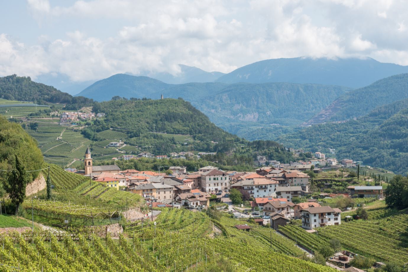
Valle di Cembra from Palù di Giovo
Úroveň náročnosti: 2
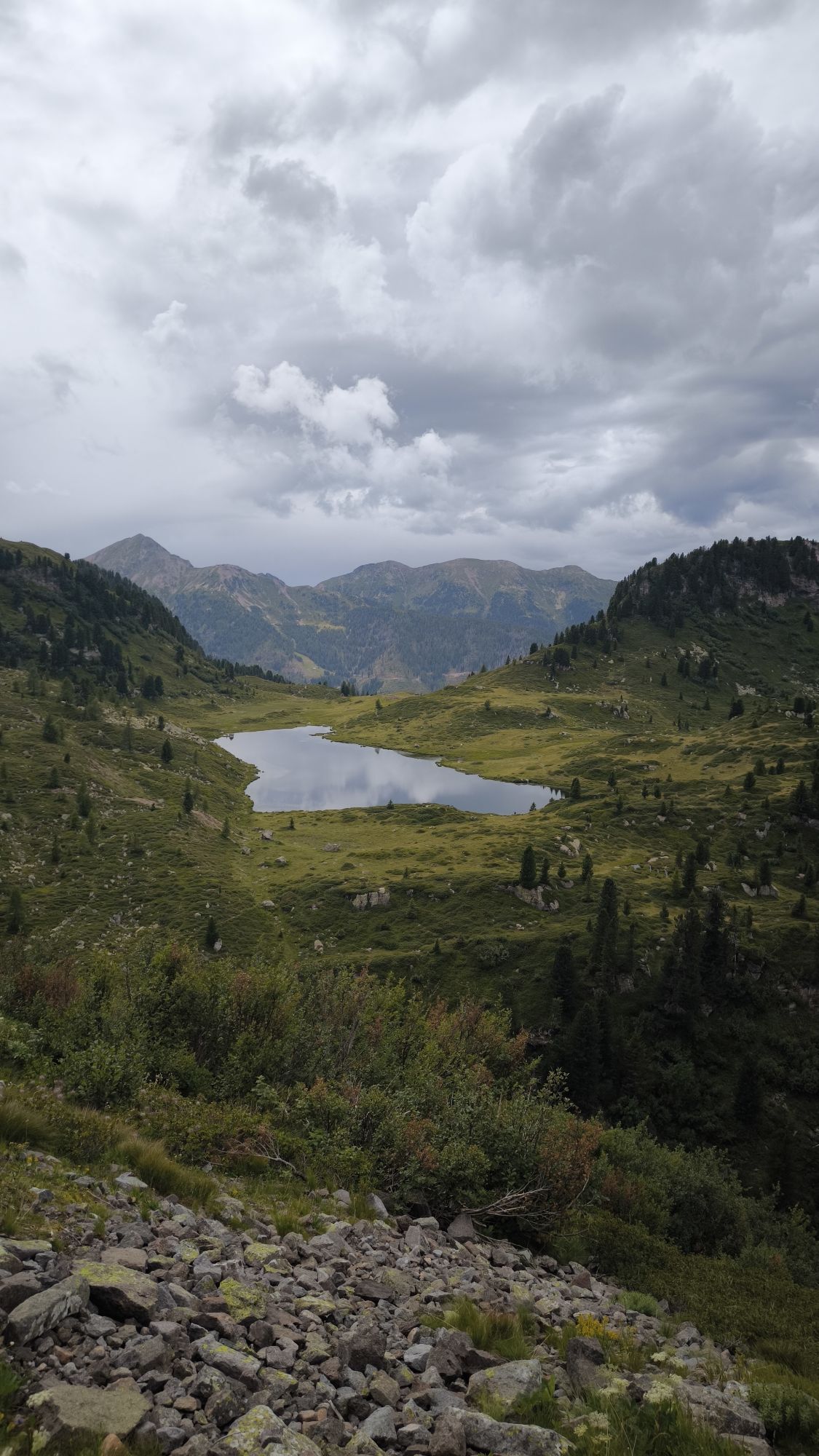
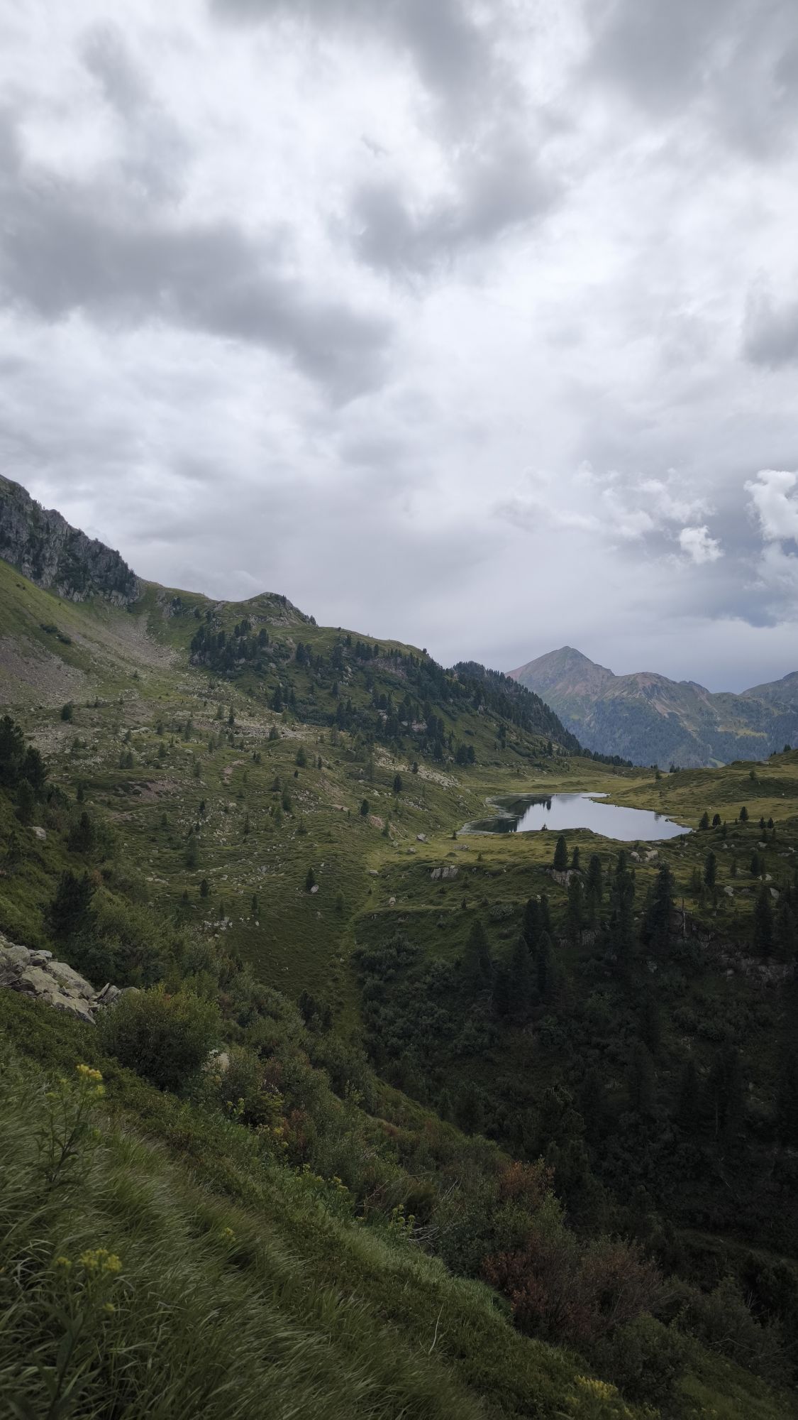
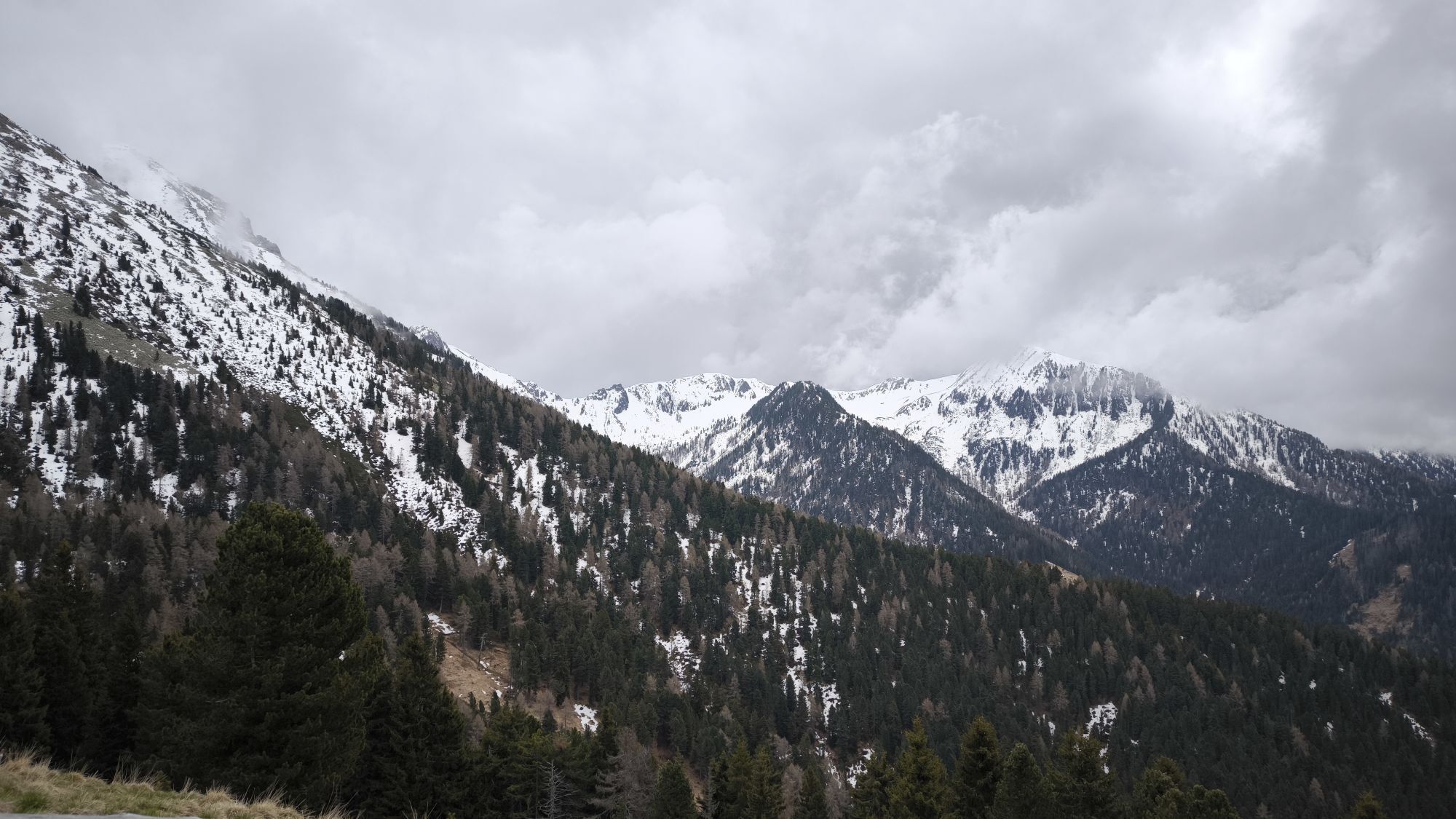
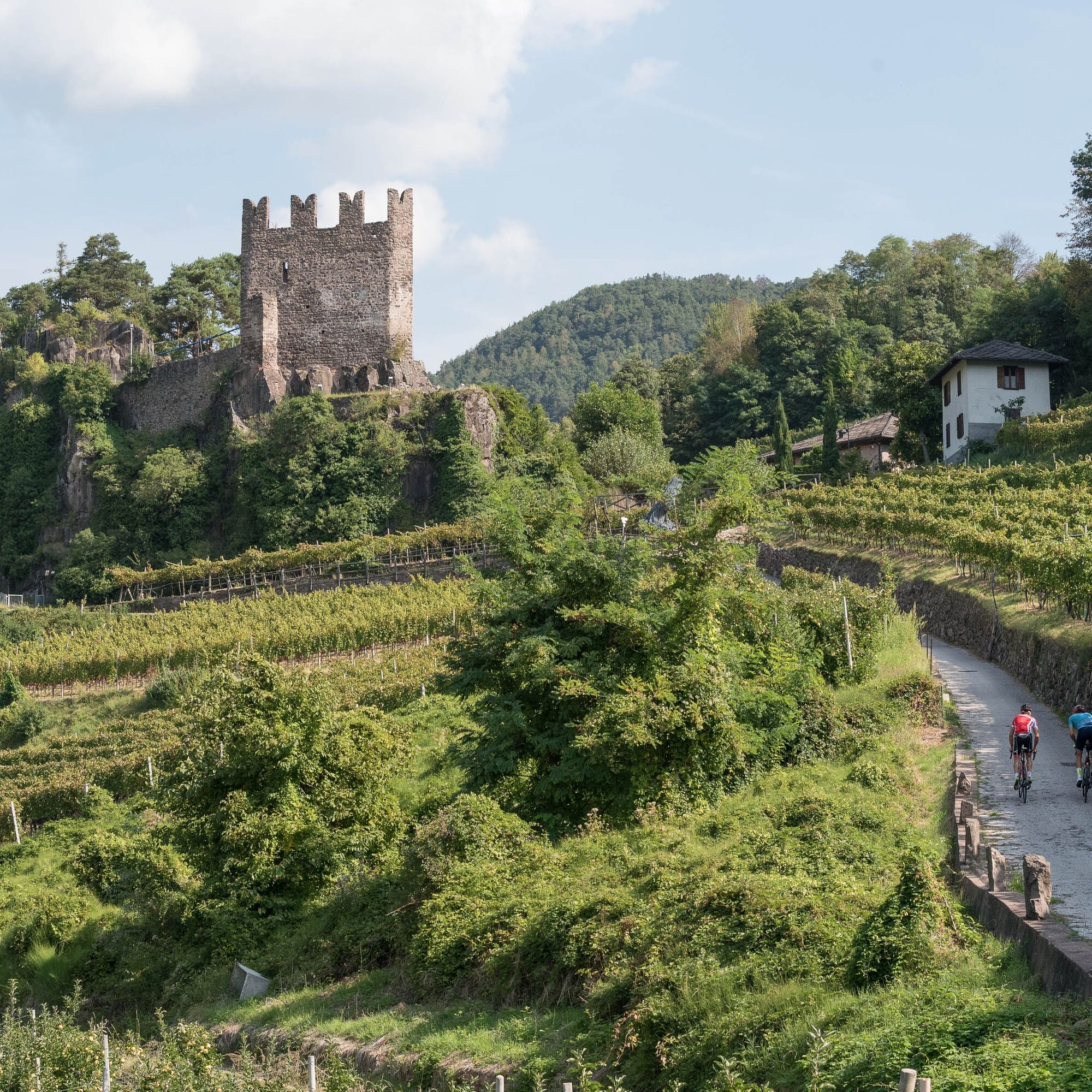
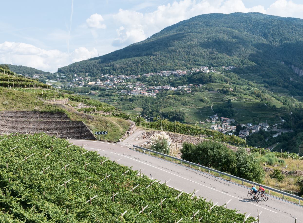
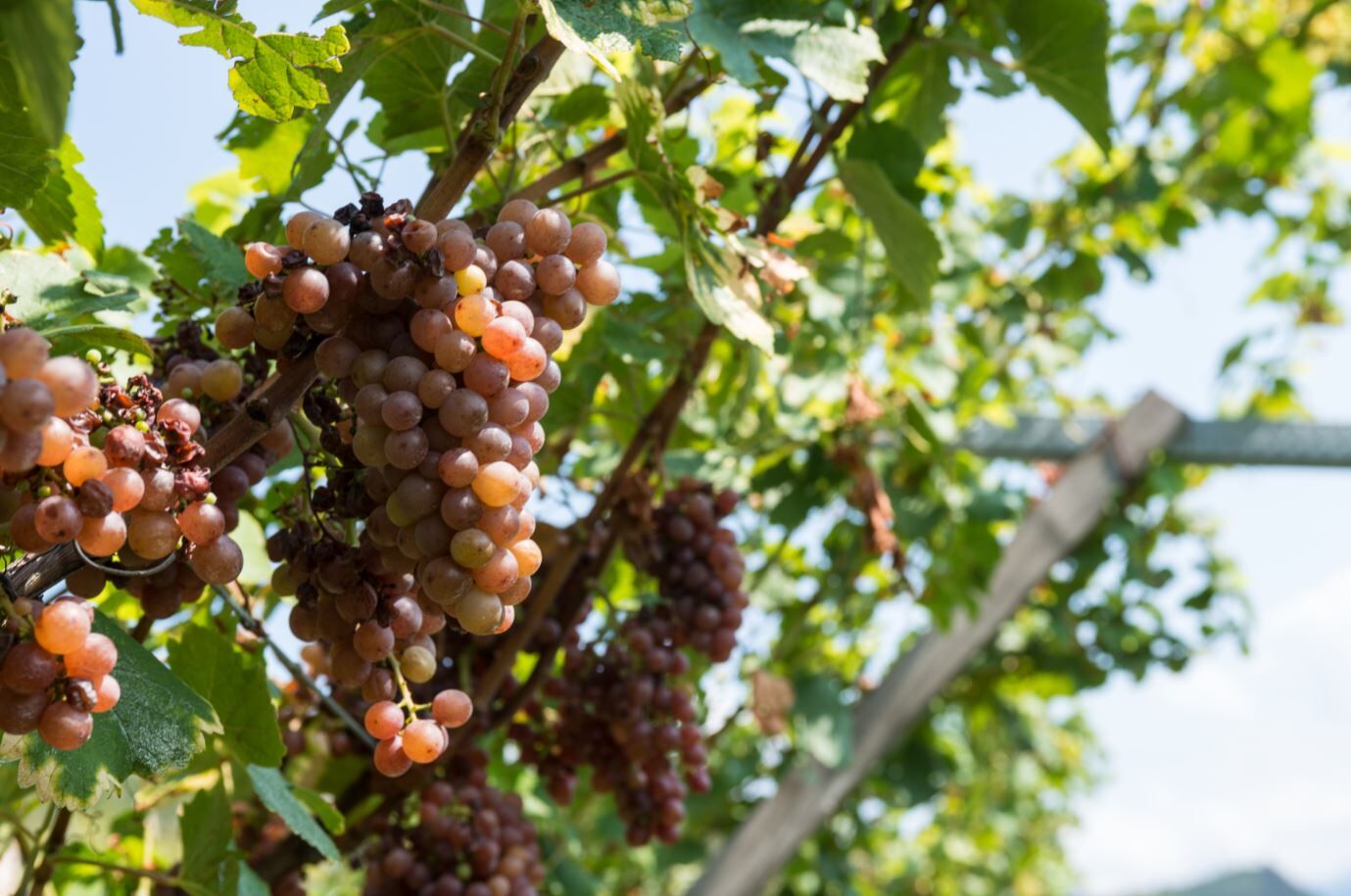
A circuit to discover the Cembra Valley in all its characteristics: the typical morphology defined by the impetuous flow of the Avisio river, the expanses of vineyard fields supported by endless hectares...
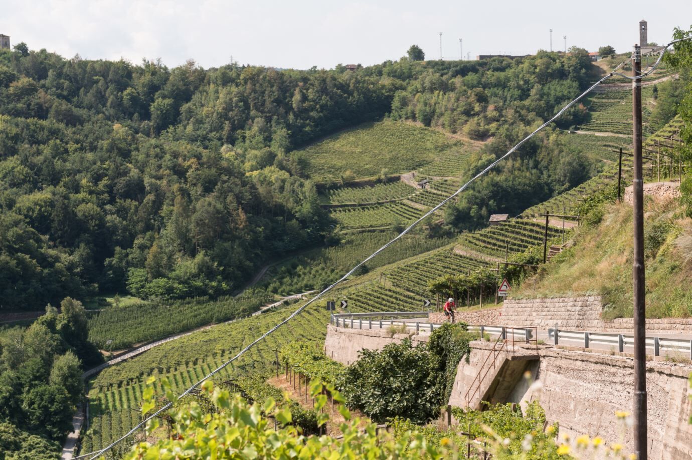
A circuit to discover the Cembra Valley in all its characteristics: the typical morphology defined by the impetuous flow of the Avisio river, the expanses of vineyard fields supported by endless hectares of dry stone walls, the small peasant villages perched on the mountain slopes and the quarries for the extraction of porphyry, dark red in colour, with which roads and houses are paved.
The itinerary reveals the soul of this valley, along with its authenticity and spontaneity.
From the village of Palù go down via ai Molini, cross the village of Verla di Giovo and continue up the panoramic slope to the hamlet of Ceola di Giovo.
Continue along the SS612 road to the entrance of the village of Faver di Altavalle and then take the provincial road 101. The road descends with a considerable gradient towards the bed of the Avisio river, crosses the valley and climbs up into the municipality of Segonzano.When you reach Scancio di Segonzano, the most difficult climb is over; continue along the right side of the valley with a slight up and downhill stretch through small hamlets and woods until you reach the Stramentizzo dam, a natural connection between the two sides of the valley. Return along the SS 612 towards Faver di Altavalle and then, on the same road as the outward journey, to Palù di Giovo.
Áno
Helmet
Sunglasses
Repair Kit
First aid kit
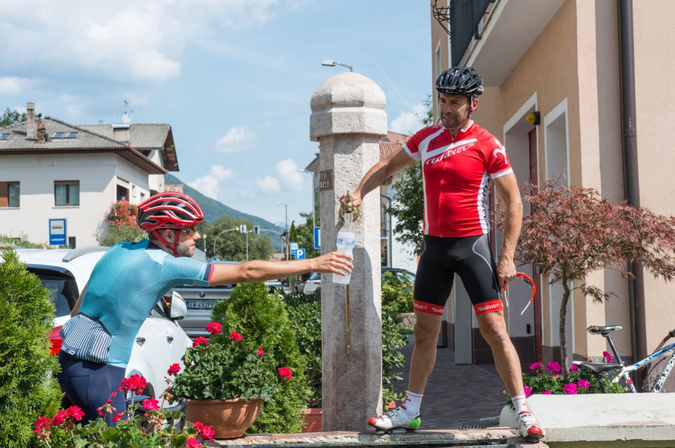
Water
Snack
Map
Windproof jacket
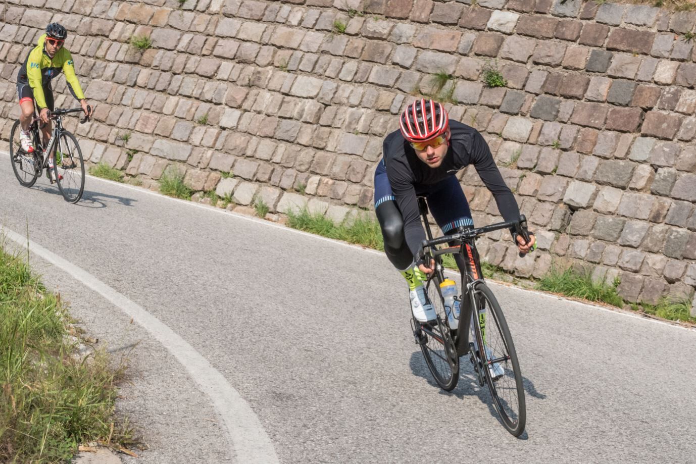
The roads indicated are often used in the opposite direction as well, so keep an eye out for hikers, other cyclists, and vehicles
Please note that the practicability of the itineraries in a mountain environment is strictly linked to the contingent conditions and is therefore influenced by natural phenomena, environmental changes and weather conditions. For this reason, the information contained in this page may have changed. Before leaving for a tour, make sure the path you will approach is still accessible by contacting the owner of the mountain hut, the alpine guides or the visitor centres of the nature parks, the info offices of the local tourist board.
Coming from the A22 Brennero motorway, both from the south and from the north, exit at Trento north (distance from the exit km 22.5), take the S.S. 12 Brennero north to the junction of Lavis, to then pass on the S.S. 612 Lavis - Castello di Fiemme that leads to the Cembra Valley and then just before Verla di Giovo take the junction for Palù di Giovo.
From Trento bus station, take line B102 towards Cavalese (Trento - Cembra - Capriana - Cavalese), get off at Verla di Giovo and then take line B105 towards Palù di Giovo.
Near the sports hall of Palù there is a free parking from which the itinerary starts.
2
Ufficio Turistico Cembra - Tel. +39 0461 683110 - info@visitvaldicembra.it – www.visitvaldicembra.it
Along the route are wine cellars and restaurants where you can taste the liquid gold of the valley and peasant cuisine. Each village has its own little church with frescoes, sometimes of great value, as in the case of San Pietro in Cembra and San Leonardo in Lisignago. The route passes near the famous earth pyramids of Segonzano.
Obľúbené výlety v okolí
-
4,7
Burrone Klettersteig (B)
Via ferrata 4,30 km -
3,8
Rio Secco (D)
Via ferrata 2,42 km -
4,8
Malga Cislon
strednáTuristika 9,37 km -
5,0
Auf den Hügel Castelfeder
svetloTuristika 3,10 km -
3,7
Fiemme Old Railway
ťažkéCyklistika 24,3 km -
4,8
Tramin - Lochweg nach Graun
svetloTuristika 9,59 km -
3,7
Rund um den Castelfelder
svetloTuristika 6,68 km -
Malga Monte Corno
strednáTuristika 10,3 km -
5,0
From Cembra to Lago Santo
svetloTuristika 13,8 km -
4,5
Klettersteig Fennberg
svetloVysoké turné 11,6 km

Turistika a stopovanie


Nenechajte si ujsť ponuky a inšpiráciu na ďalšiu dovolenku
Vaša e-mailová adresa bol pridaný do poštového zoznamu.