







Tenno - Ballino - Comano

Úroveň náročnosti: 3
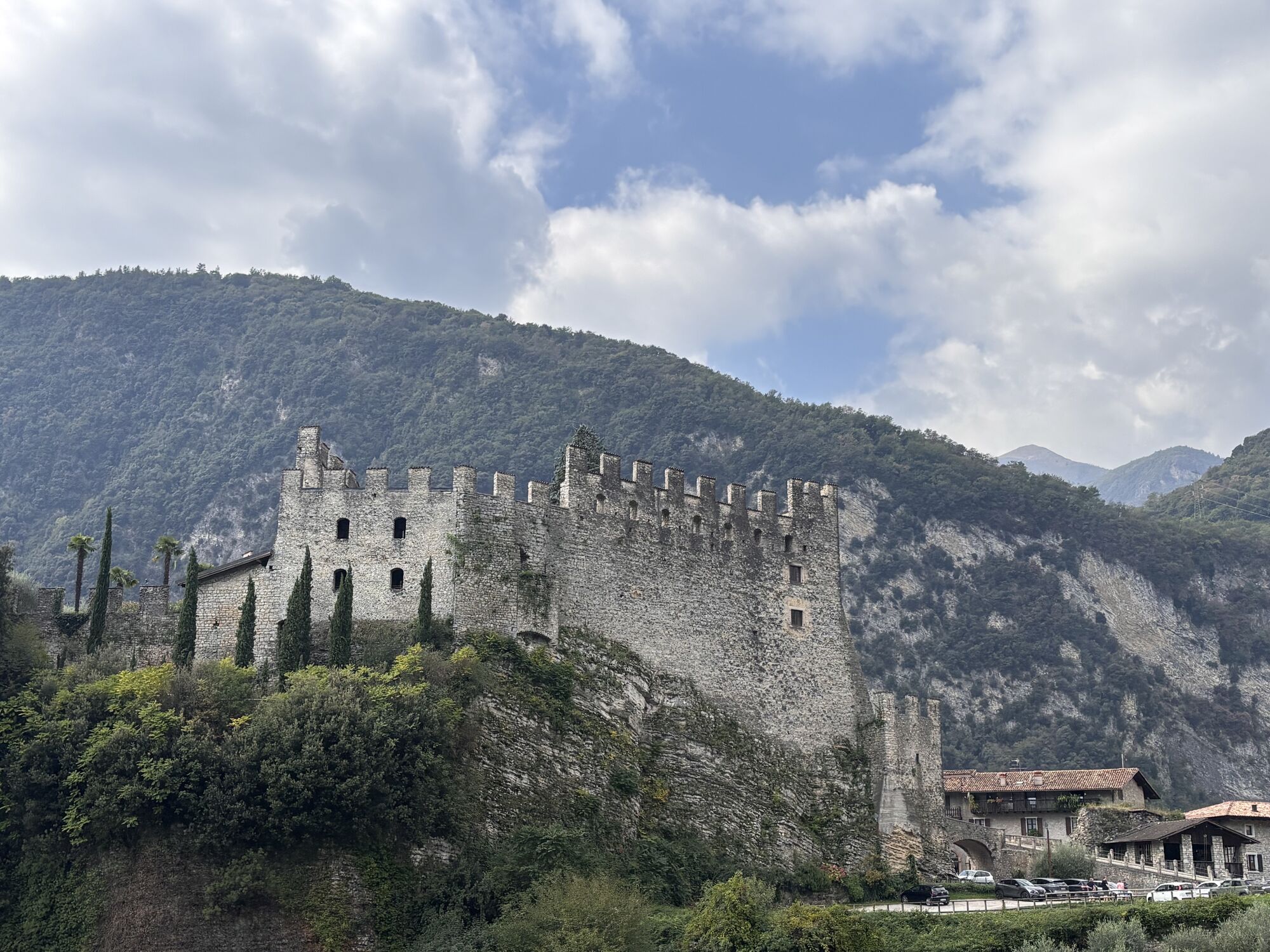
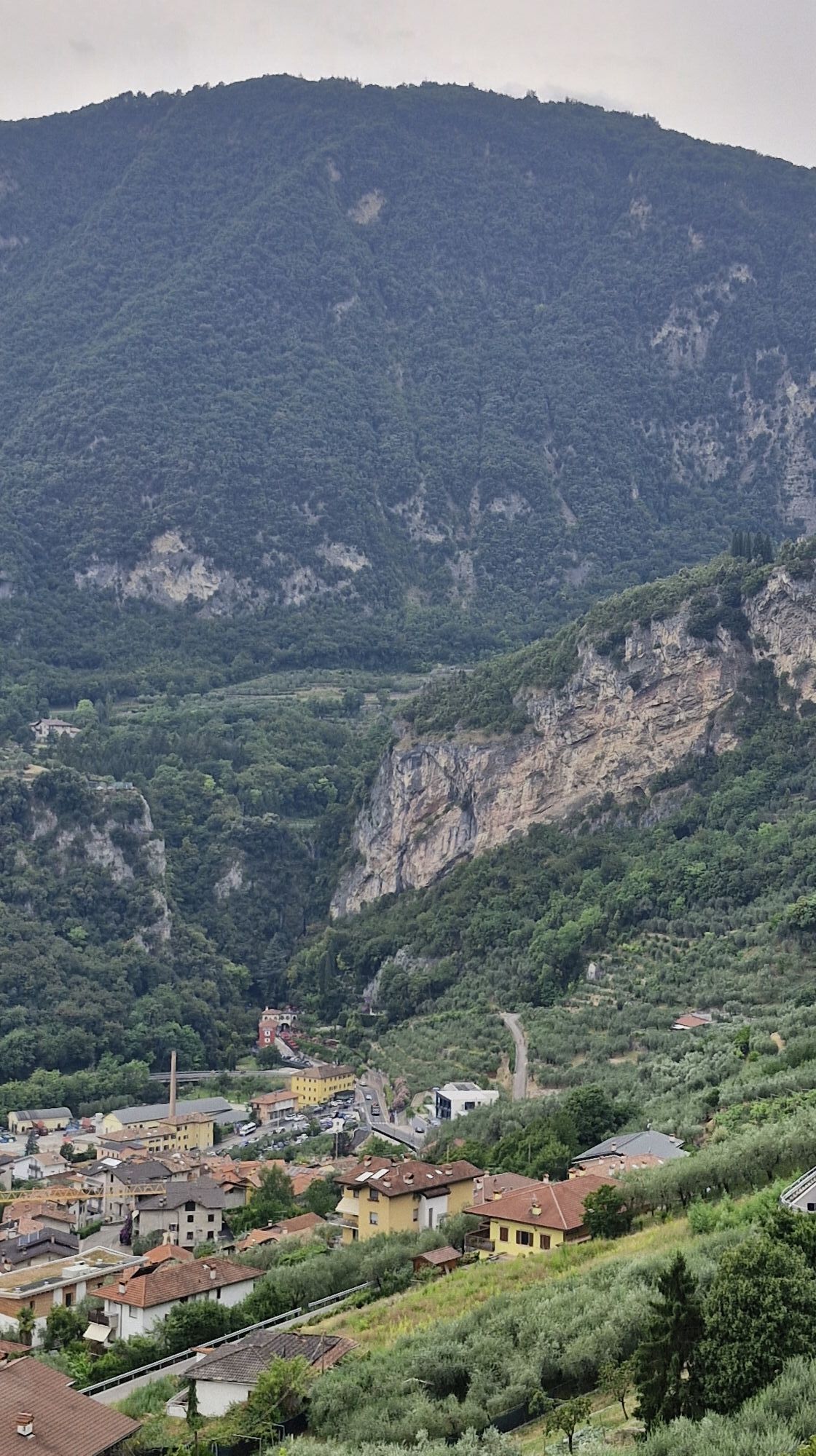
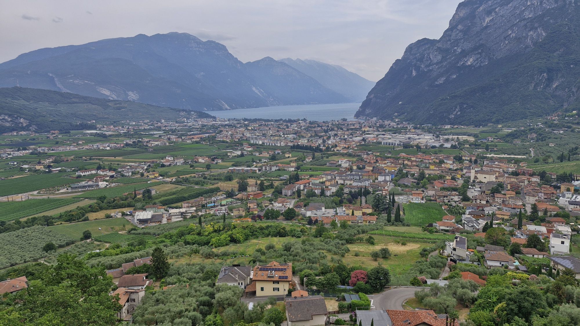
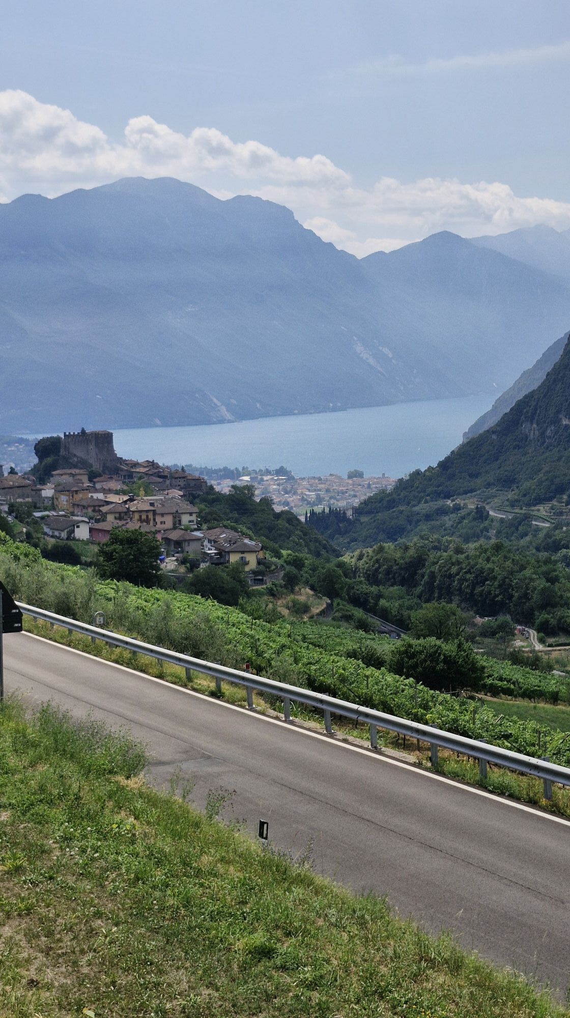
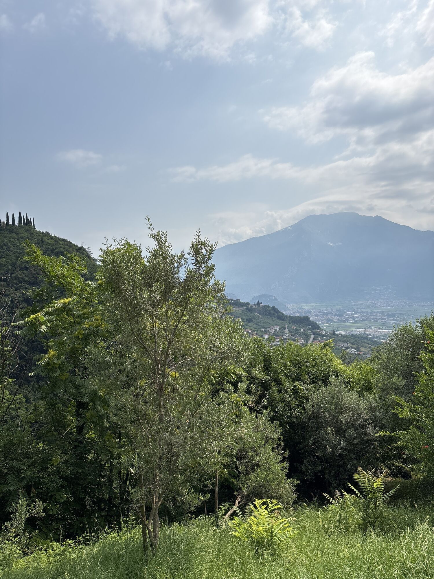
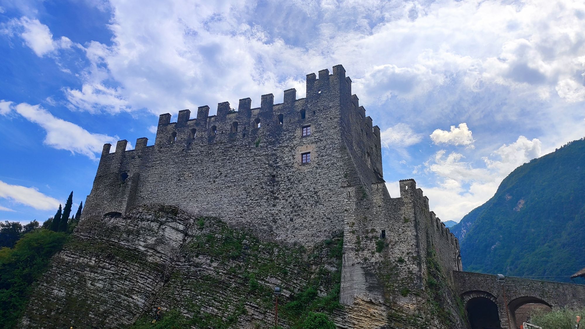
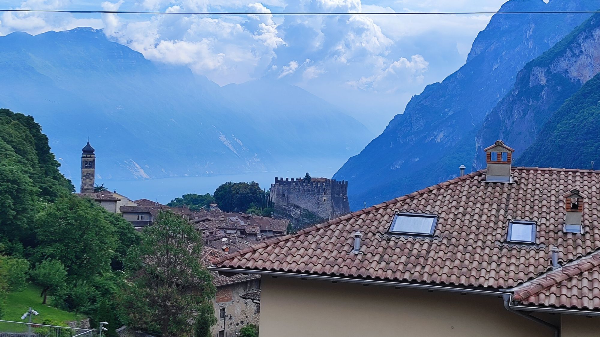
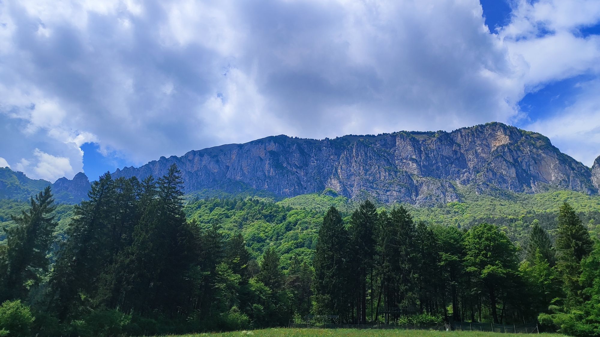
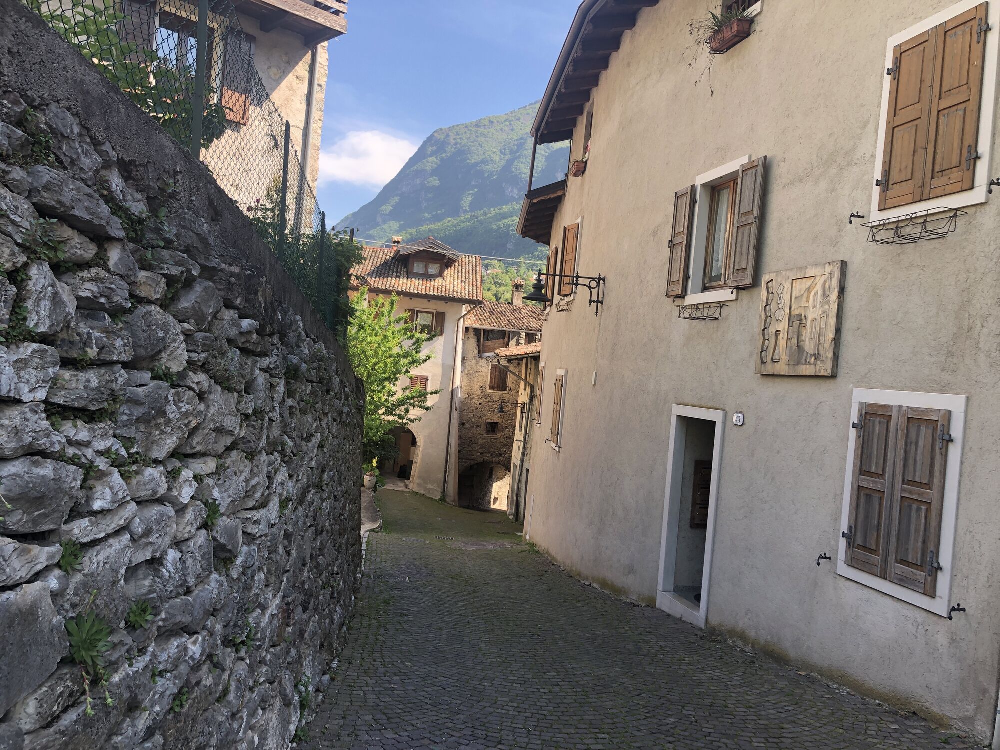
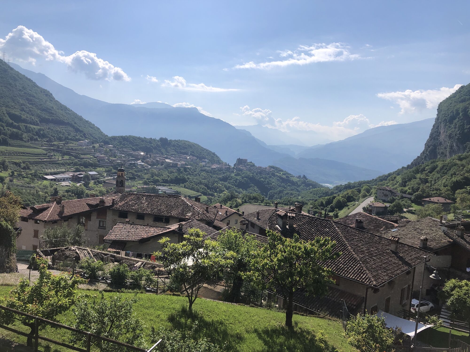
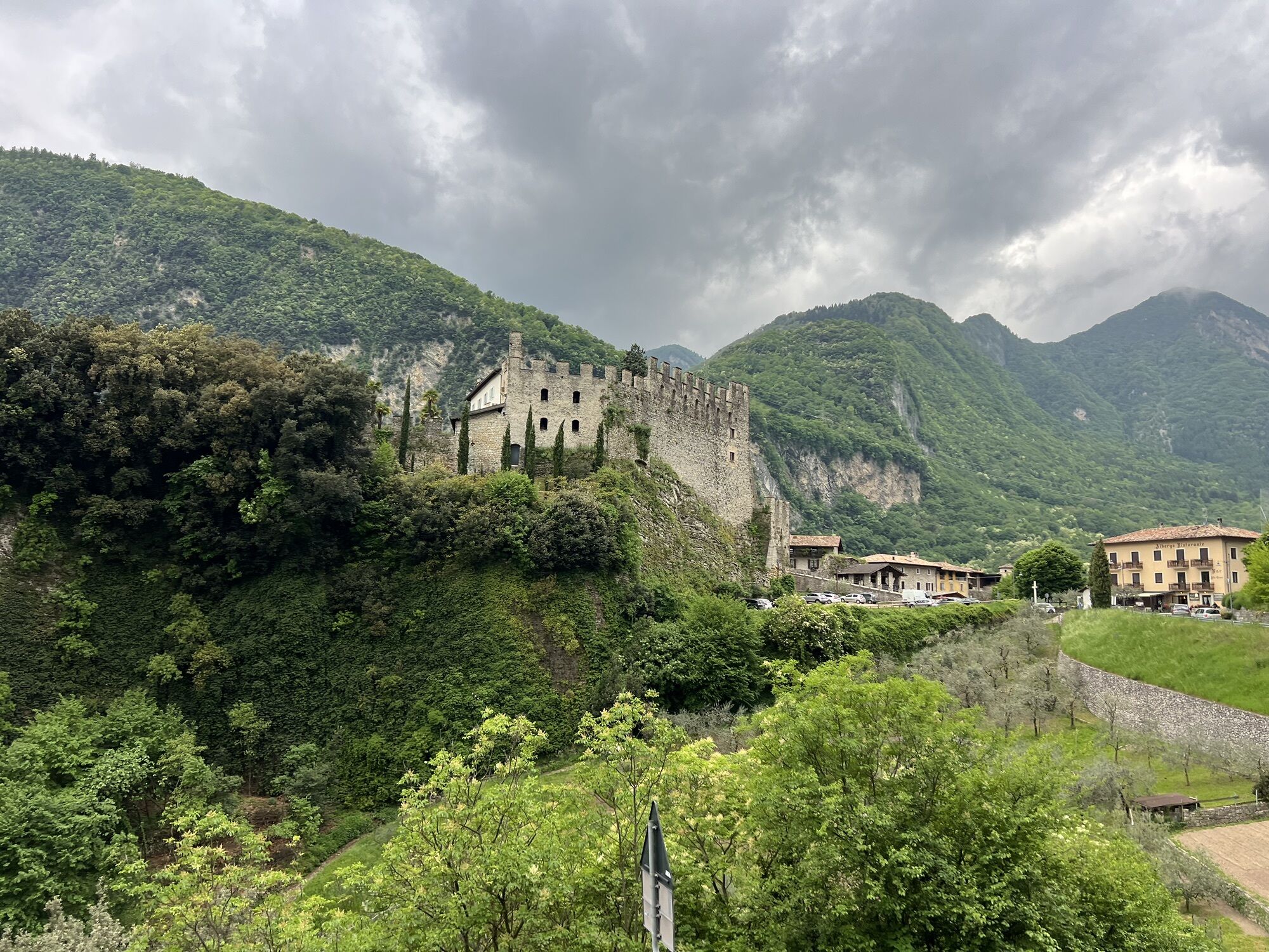
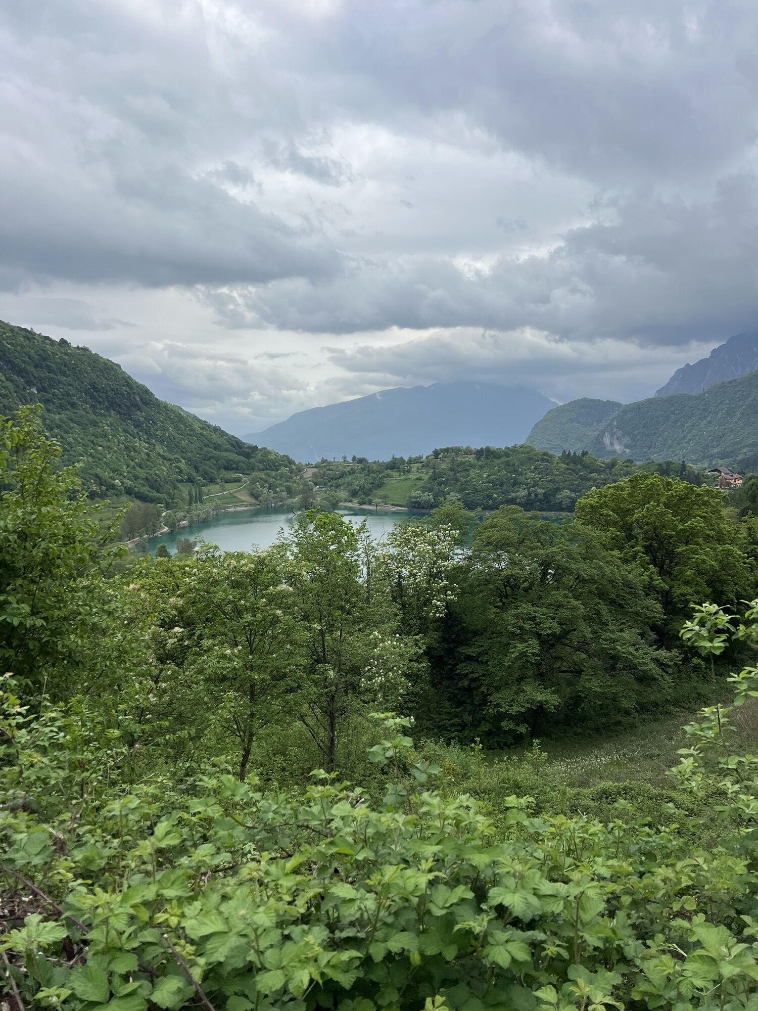
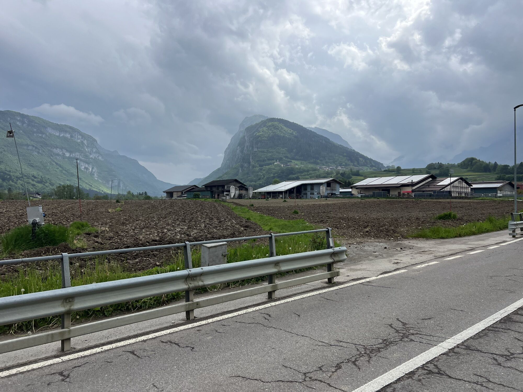
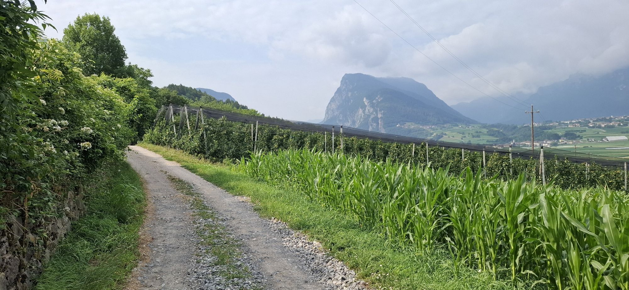
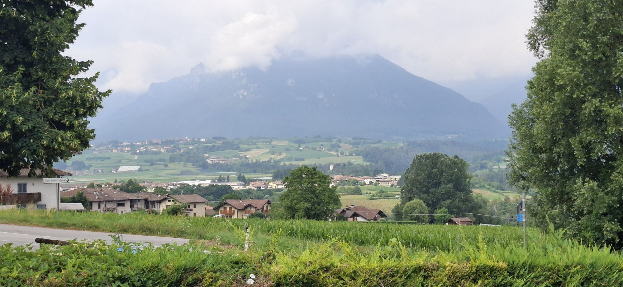
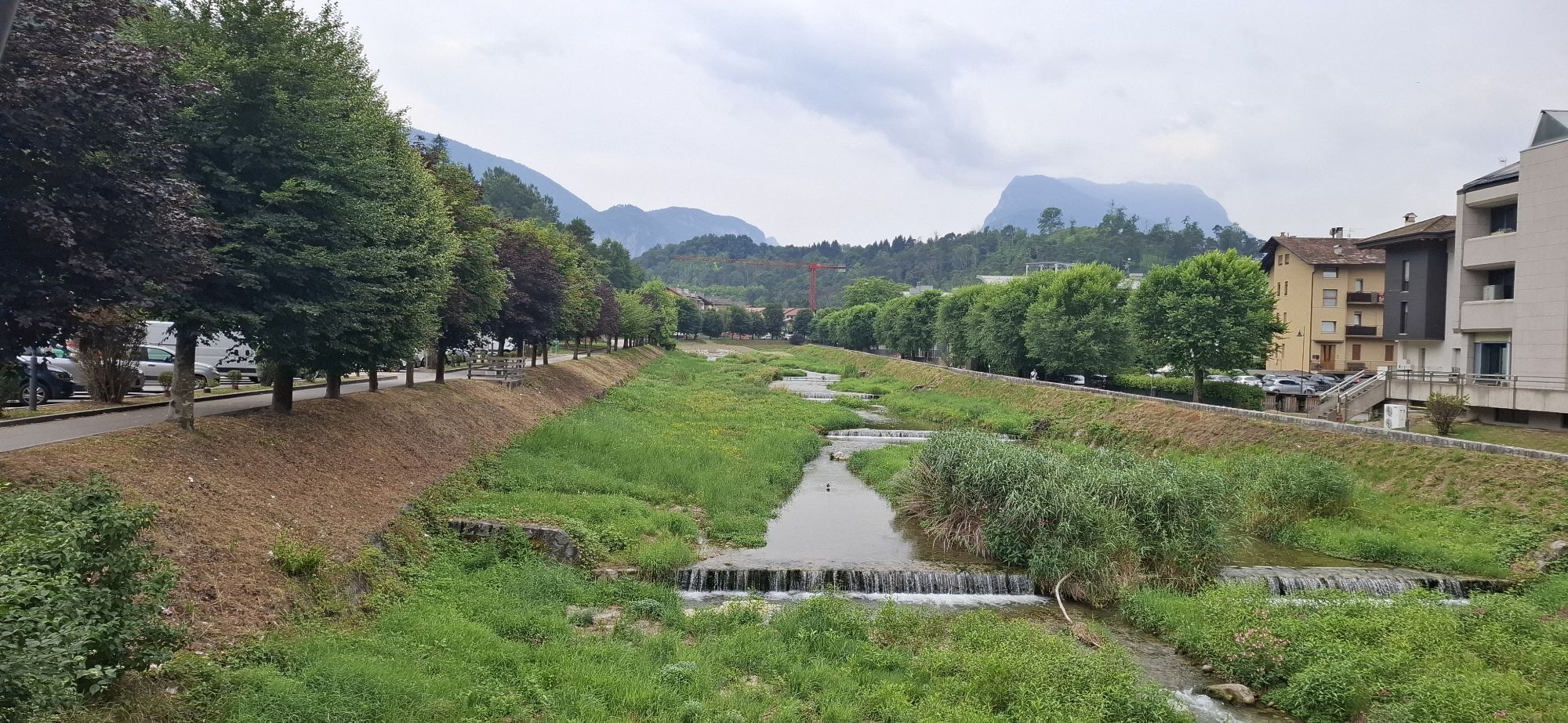
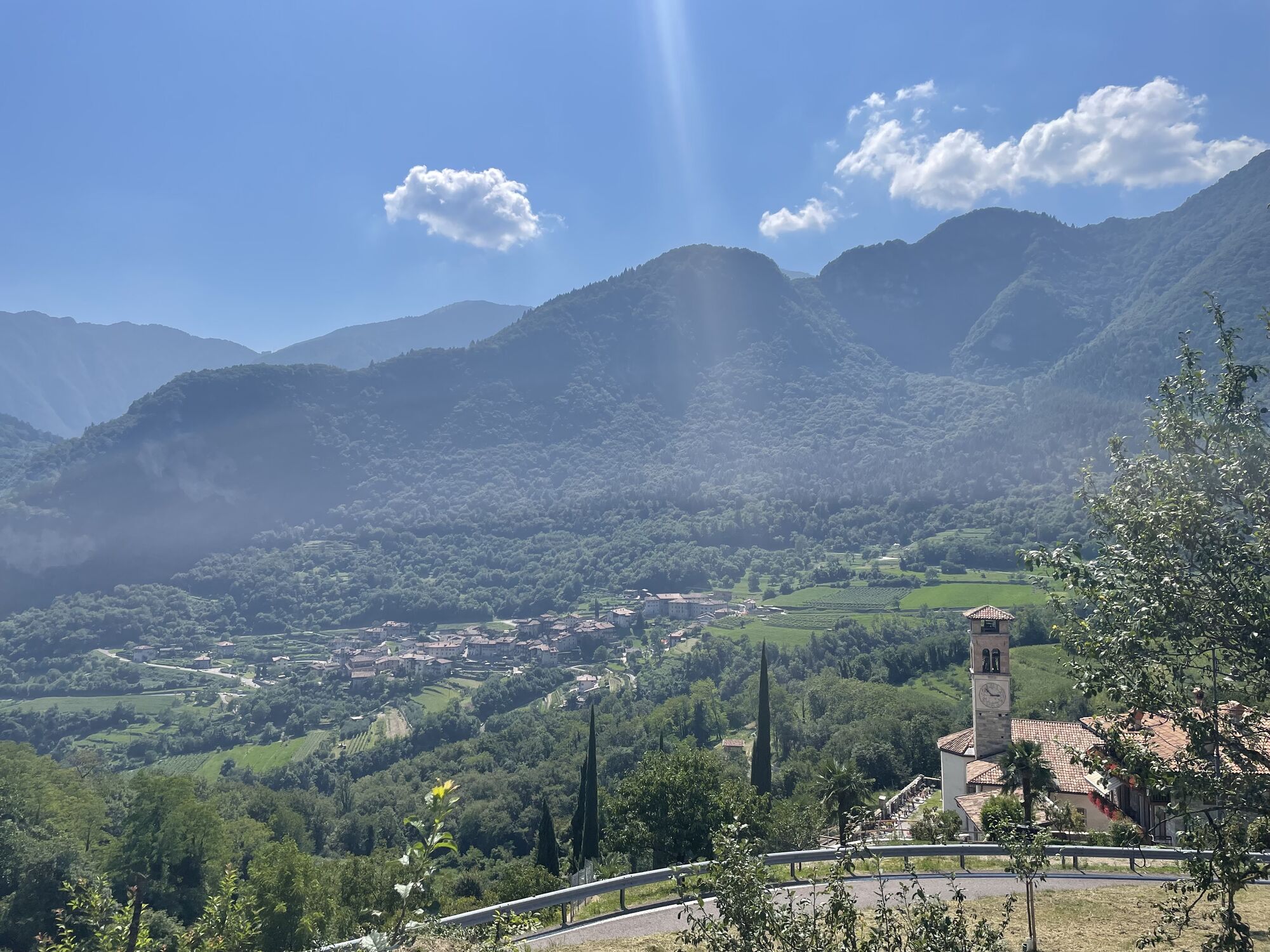
An itinerary without a single metre of flat terrain, spanning roads that are almost traffic-free, making it a very peaceful, enjoyable ride. It passes through woodland, meadows and cultivated fields interspersed...
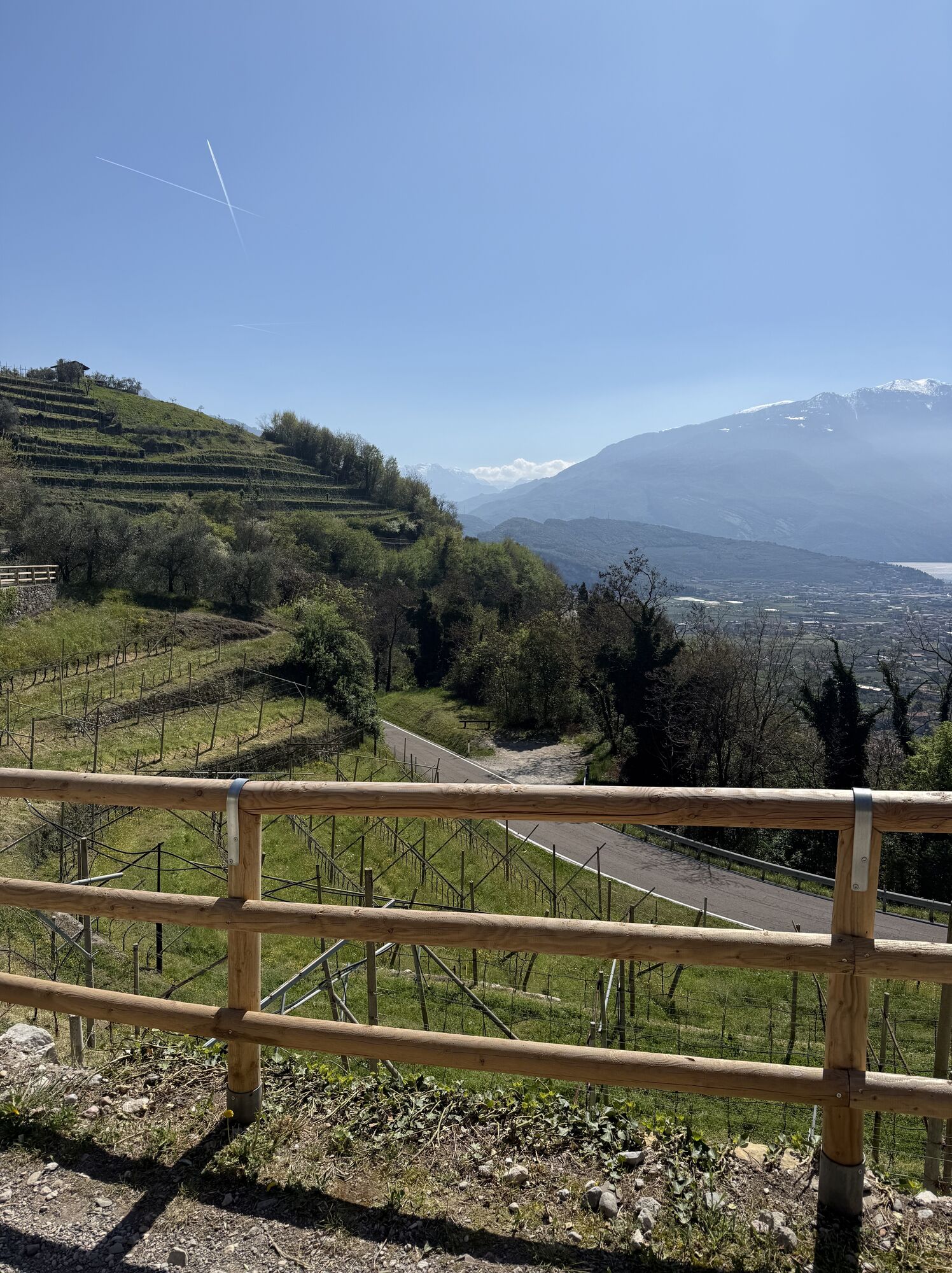
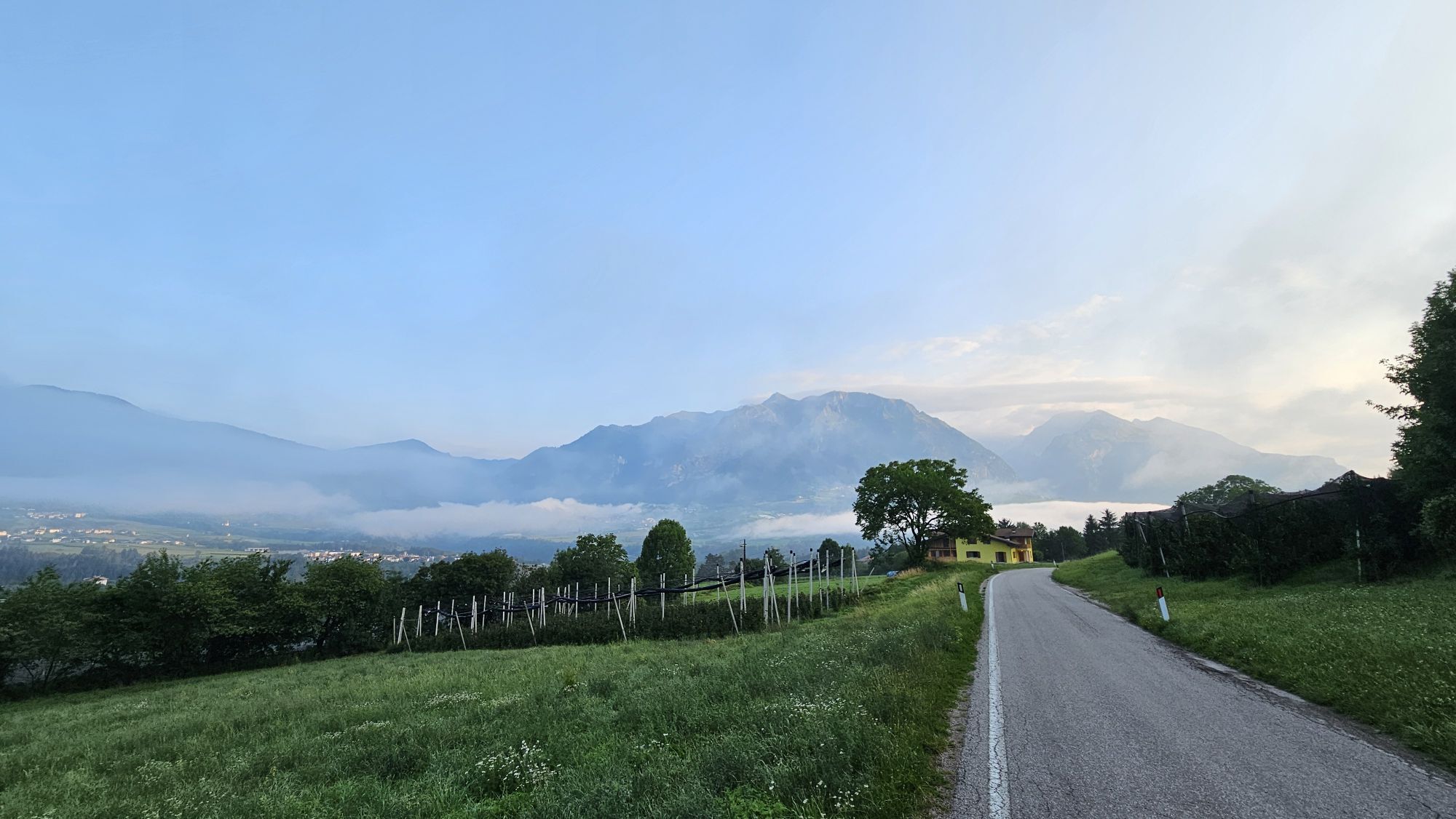
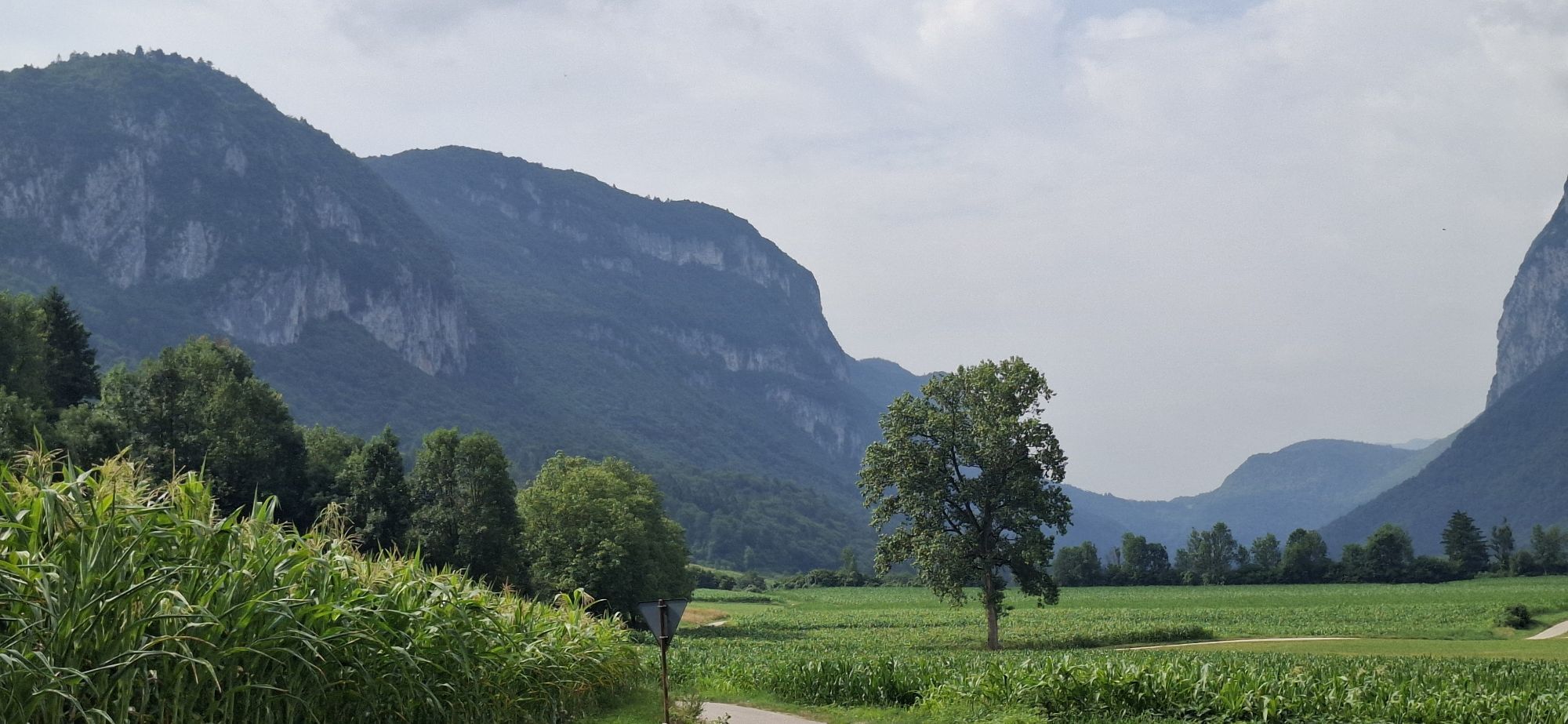
An itinerary without a single metre of flat terrain, spanning roads that are almost traffic-free, making it a very peaceful, enjoyable ride. It passes through woodland, meadows and cultivated fields interspersed with small characteristic villages. The climb towards the Ballino Pass, which can be tackled on two different sides, takes us first to Fiavè and then to the Bleggio area. After a downhill stretch to Comano Terme, the itinerary climbs back up the other side of the valley, passing through the Lomaso area.
From a technical perspective, this route is very accessible as the gradients are never super-steep. The climb to the Ballino Pass has an average gradient of 5.5%, then the route follows a series of ups and downs.

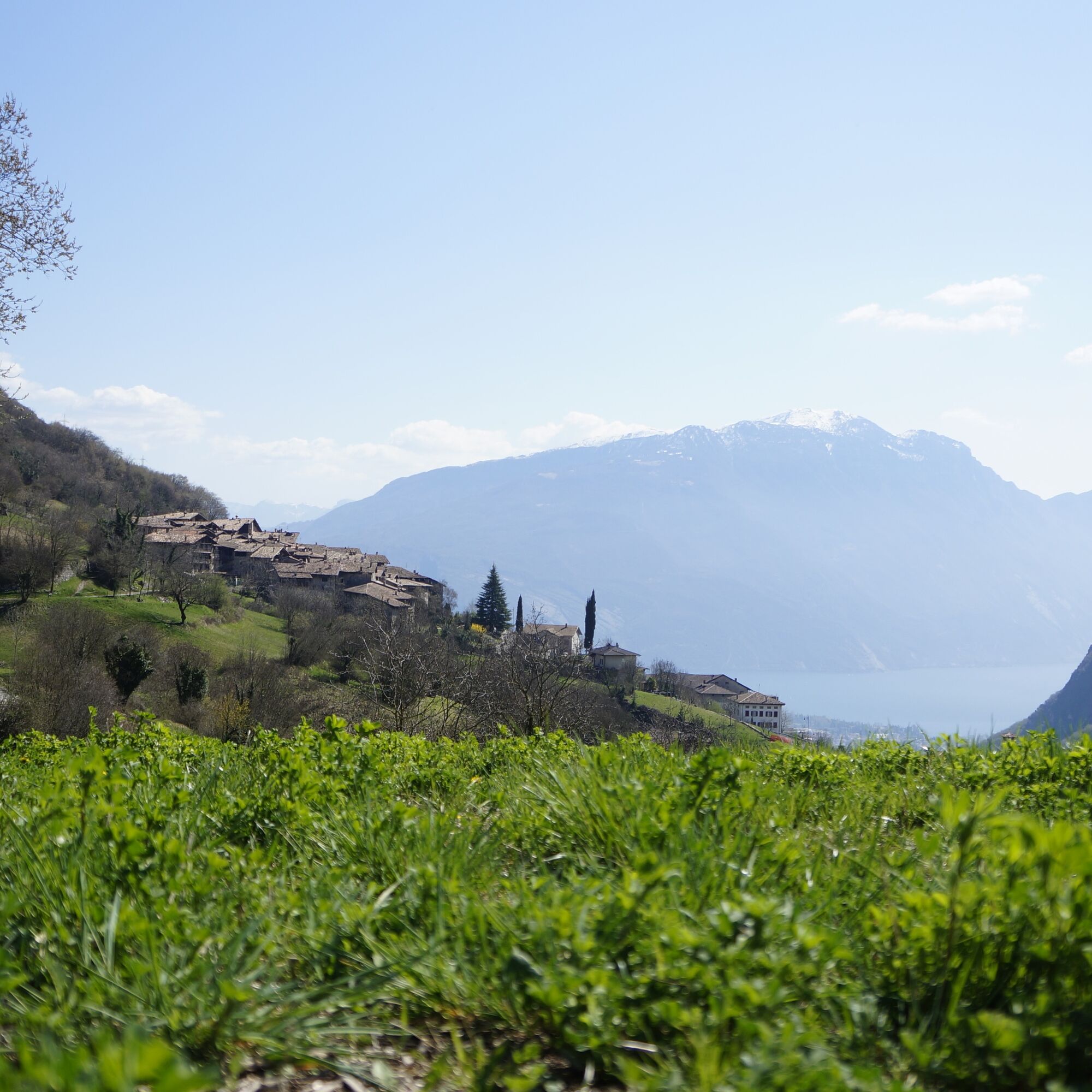
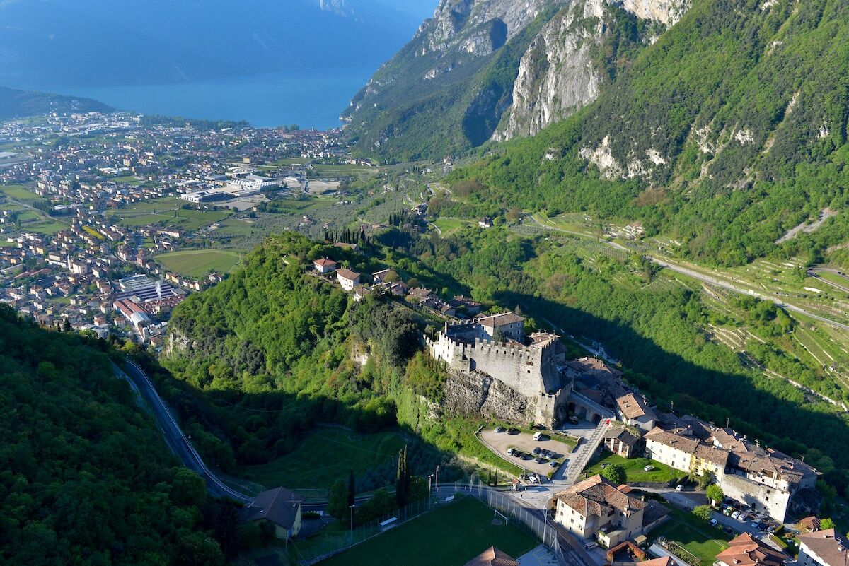

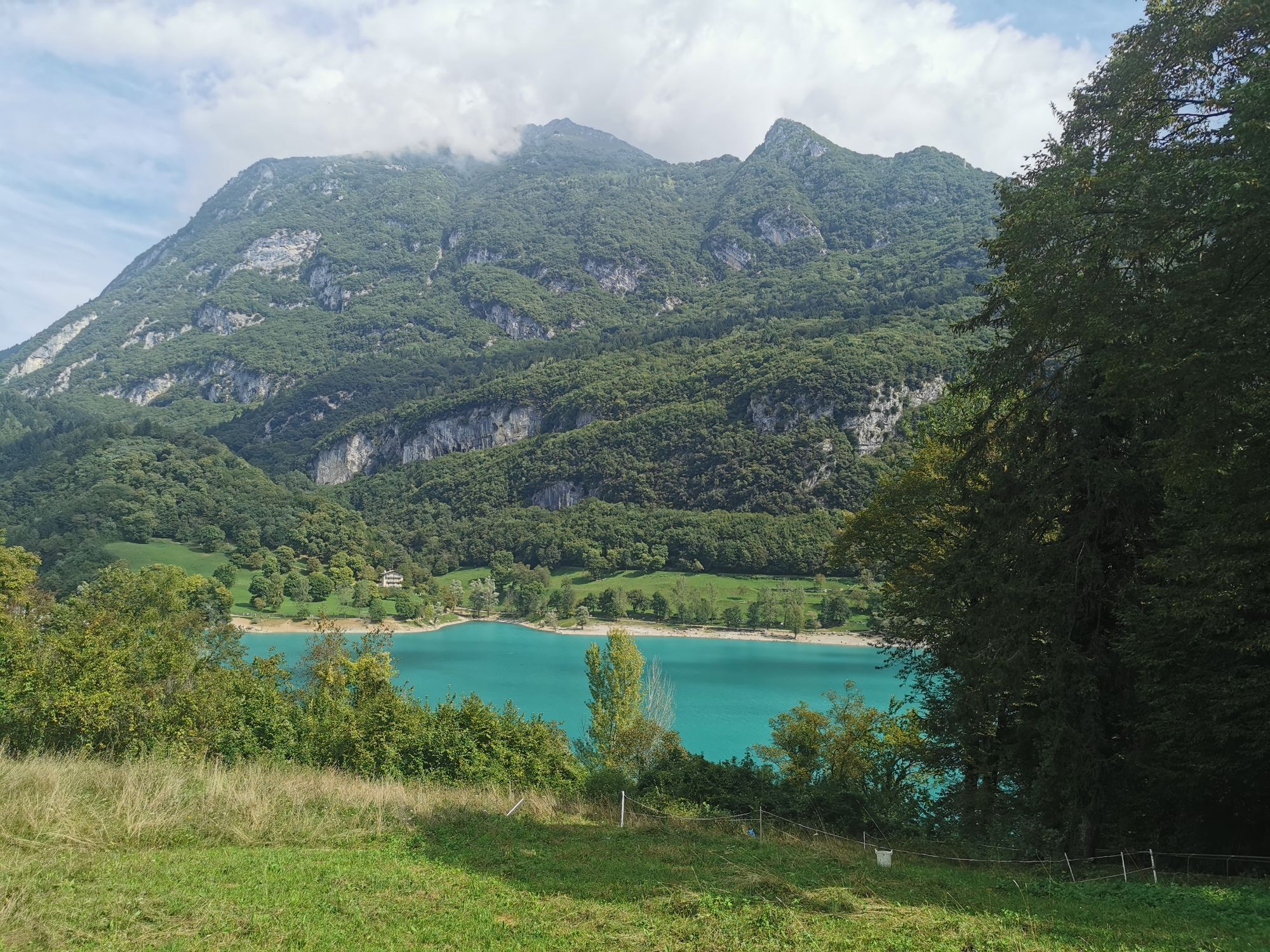
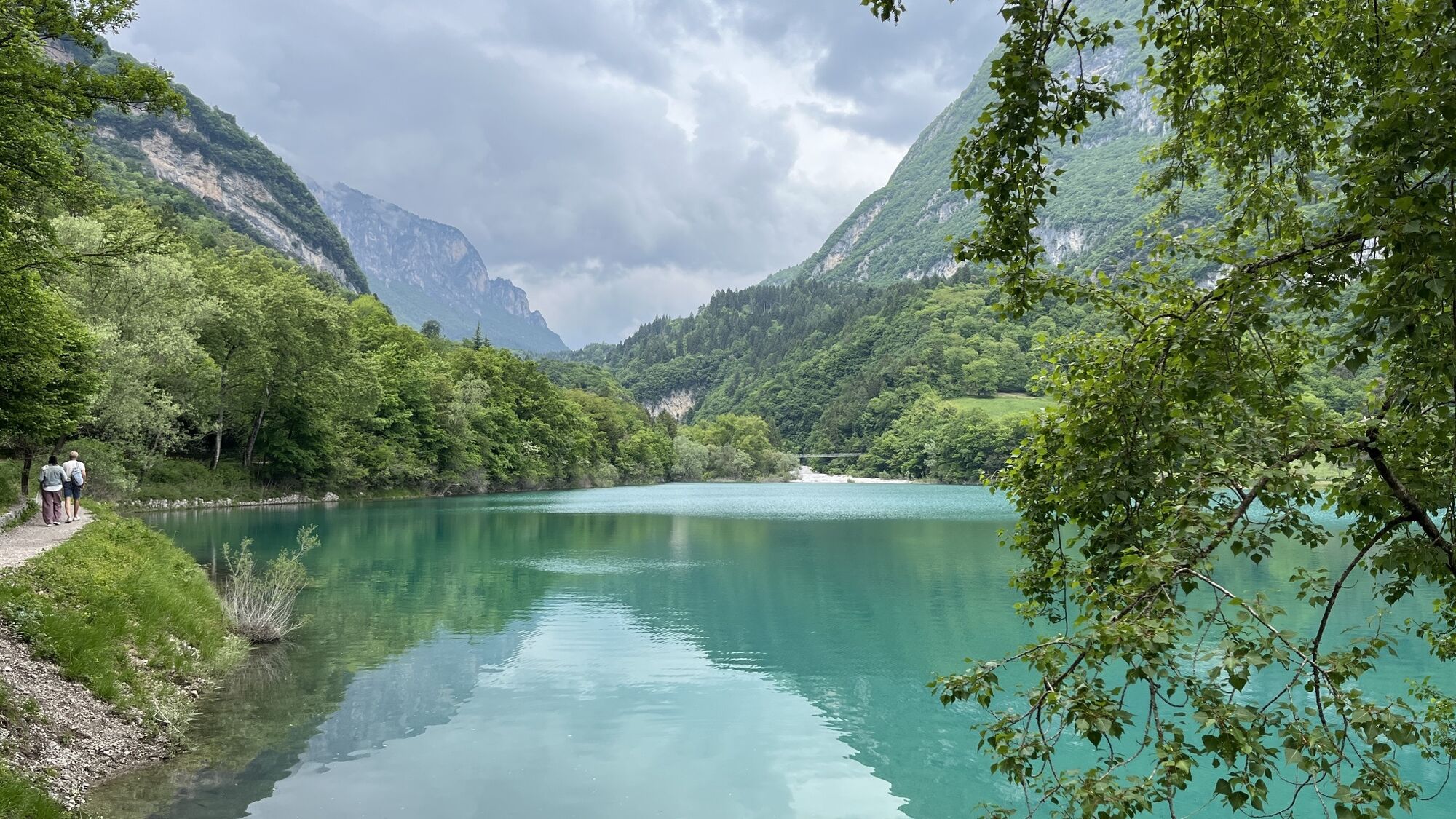
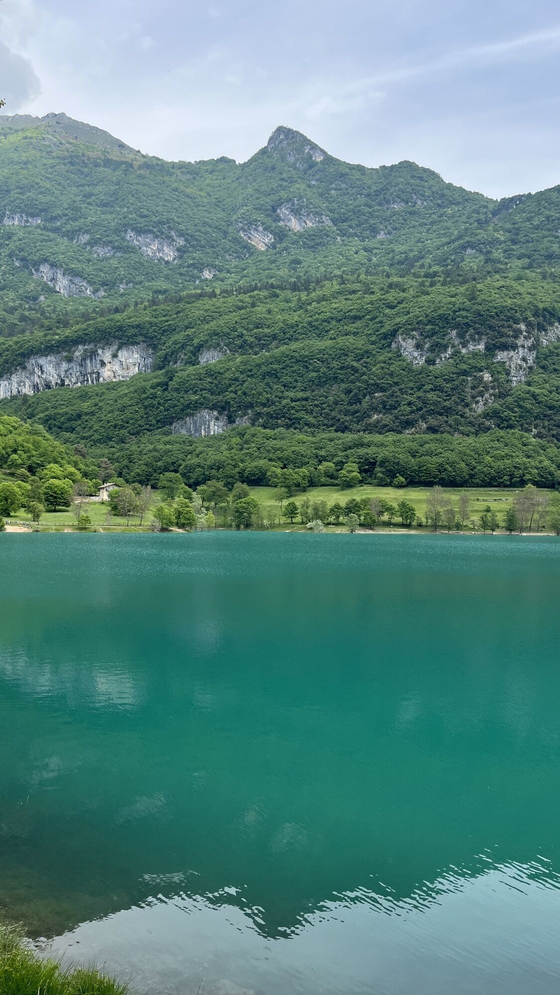
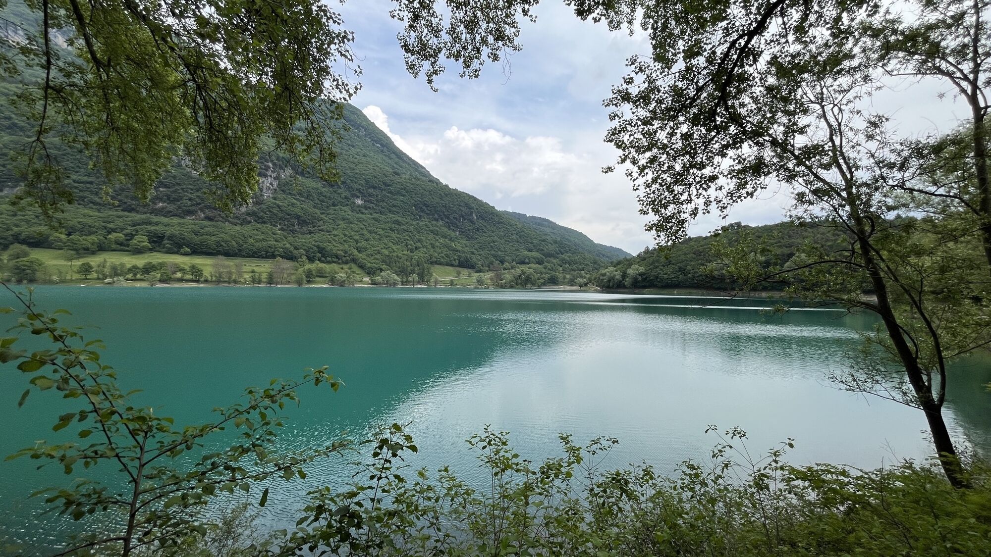
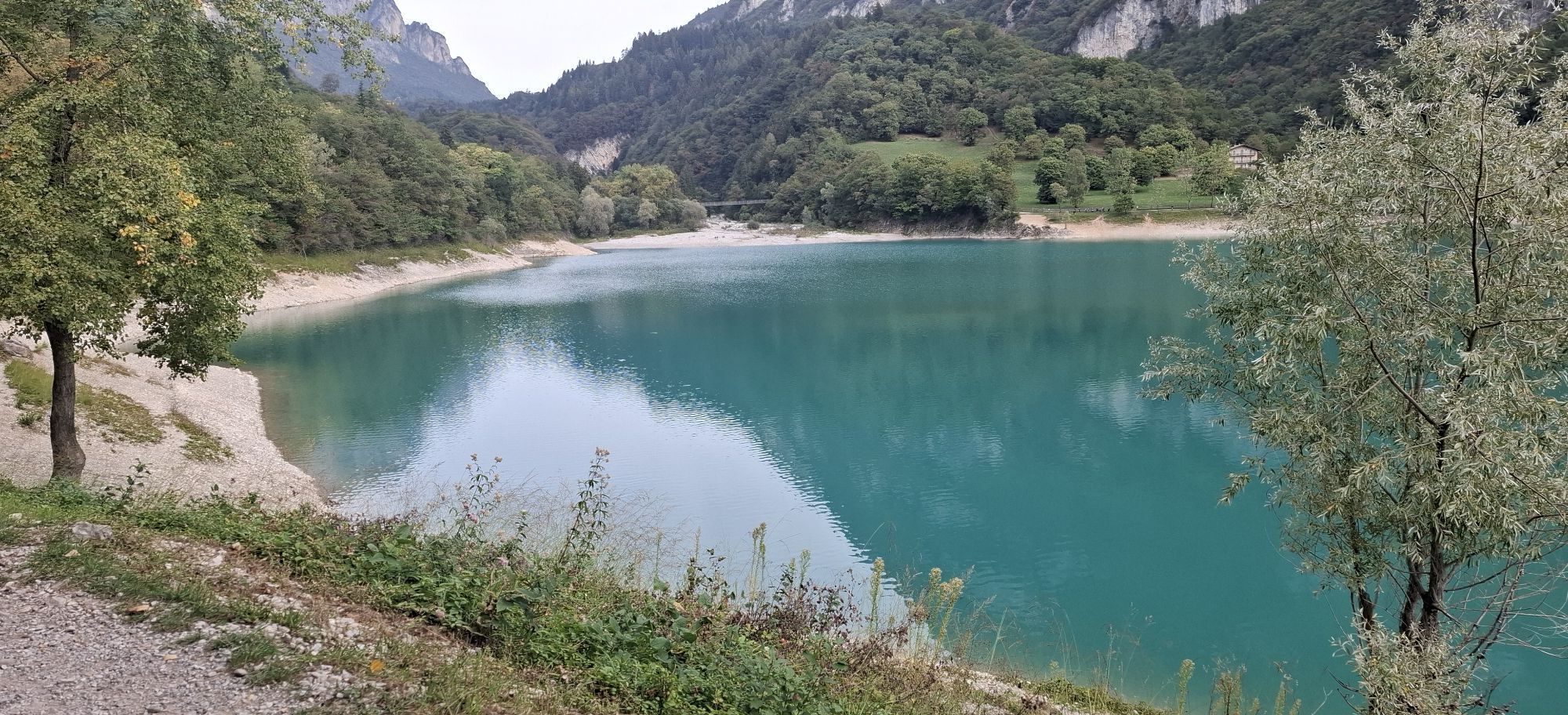
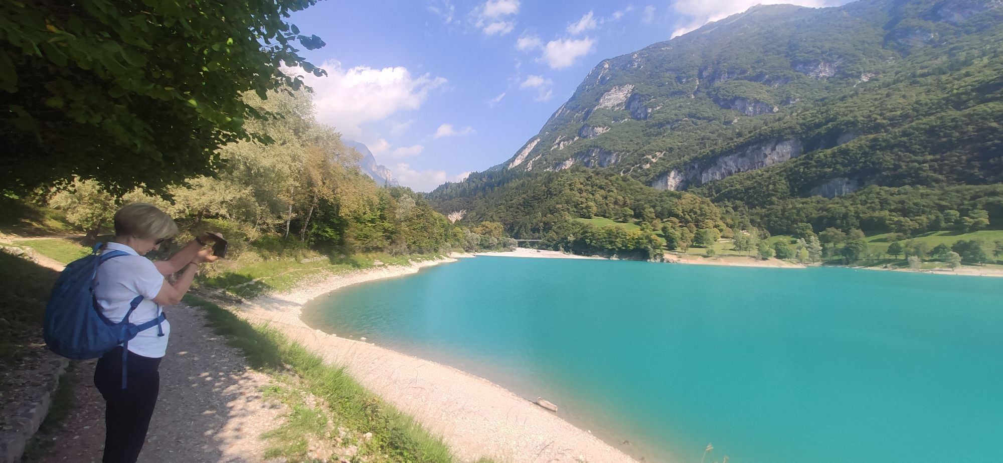
Starting from Riva del Garda you go uphill towards Pranzo, pass trough the village of Deva, until reaching the magnificent Lake Tenno.
Cycle on the uphill road to the Ballino Pass (750m) and then go downhill reaching Fiavè turning left. From here onwards take the direction of Bleggio Superiore: once reached the village of Cavrasto turn right towards Santa Croce to reach Bleggio Inferiore up to Ponte Arche and Comano Terme.
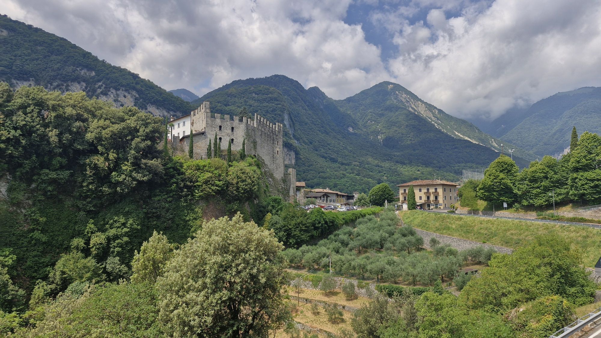
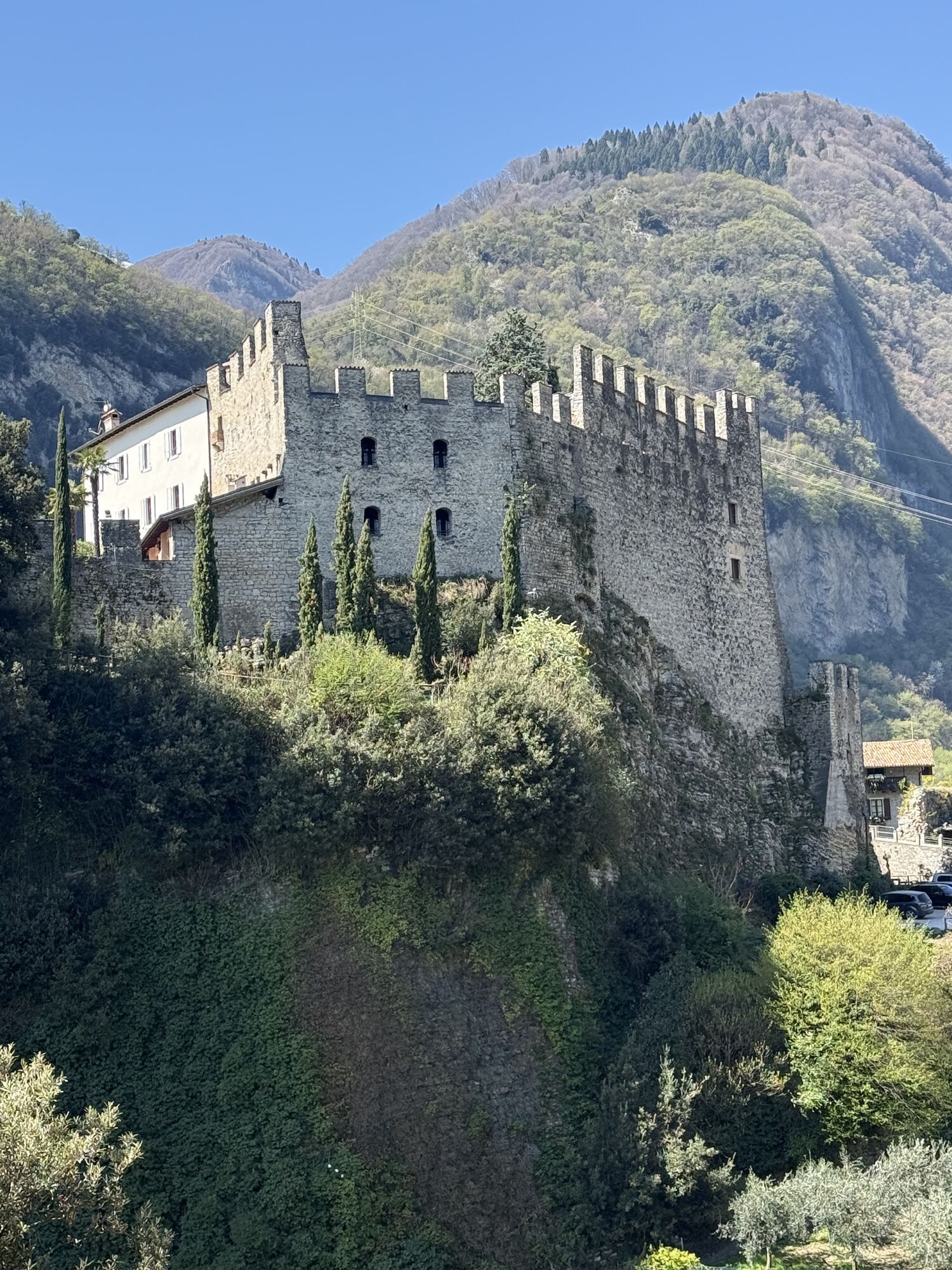
Once crossed over the bridge you turn right and go uphill in the direction of Poia. Carry on heading straight and at the crossroads go downhill to Vigo Lomaso. Go ahead until the panoramic climb that overlooks the flatland of Bleggio with its castles.
Keep on passing through Dasindo in the direction of Fiavè and get back through the same road cycled previously, carrying on for the Ballino Pass and Lake Tenno.
Go downhill passing through the village of Tenno and continue the panoramic downhill road passing by Varone, where there's the magnificient waterfall, and then get back to starting point Riva del Garda.
Riding your bike requires specific clothing and equipment, even for relatively short and easy trips. It is always better to be prepared… e.g. for bad weather or a drop your energy levels. The unexpected things also make up a part of the fun!
Do not compare a road bike with a mountain bike. They are very different, especially in technical terms, and facing a hill with a road bike could be much more difficult than facing the same hill with a MTB. Therefore, remember to throughly evaluate the type of route you plan to do and the locations you plan to cross. Do not forget to consider the current season. Has it been raining? Attention: the paint of the crosswalk could be very slick.
What do I need to bring on my bike tour?
Bike helmet Bike gloves Bike glasses Waterproof/Windproof jacket Headlights and rearlights Reflecting suspenders Plenty of snacks (for example, dried fruit or energy bars) Water Bottle Bike repair kit (tire levers, mini bike pump, bike tube)It is always advised to let someone know where you plan to go and how long you expect to be.
Emergency telephone number 112.
Give your bike a regular checkup, especially if you've had it for years.
Be seen: you must wear a high vis jacket (or sash) in tunnels and on country roads after sunset.
Always wear your helmet.
Make sure your front and rear lights are working.
Put out your arm to give advance warning of your intention to change position and before you do anything, check there are no vehicles coming up behind you.
Don't use headphones or your mobile phone handsfree kit: you need all your concentration on the road!
Obey the road signs: stop at traffic lights and don't ride on the wrong side of the road.
If you are cycling in a group, always go in single file.
You've got a bell: use it to let pedestrians know you're there. Don't ride on footpaths. If you have to then get off and push your bike.
If there are cycle paths use them. It's your safety that's at stake and the rules of the road say you must.
Getting to northern lake Garda / Garda Trentino
The towns in Garda Trentino - Riva del Garda, Torbole sul Garda and Arco – are connected by several urban and intercity bus lines which will take you to the starting point or in the immediate surroundings.
For up-to-the-minute information on timetables and routes
You can also get to Riva del Garda and Torbole sul Garda by the public ferry service.
Free parking near the former hospital (Via Rosmini).
Paid parking: Terme Romane (Viale Roma), Vecchia stazione (Largo Medaglie d’Oro), Ex-agraria (Via Lutti).
3
The final descent passes close to the beautiful town of Canale di Tenno. If you’ve never seen it, making a detour to take in its beauty is well worth the effort.
Webové kamery z prehliadky

Obľúbené výlety v okolí
-
5,0
Via Ferrata Signora delle Acque - Rio Ruzza
ťažkéVia ferrata 5,32 km -
4,8
Via Ferrata Rio Sallagoni
strednáVia ferrata 2,75 km -
4,6
Colodri Klettersteig (A/B)
Via ferrata 7,50 km -
4,8
Malga Grassi Trail-Tour
strednáMountainbike 24,2 km -
4,6
Ciclabile dei Laghi Torbole – Sarche Cycle path
strednáCyklistika 24,8 km -
4,3
Malga Movlina and Rifugio XII Apostoli
strednáTuristika 11,6 km -
5,0
In the heart of Garda Trentino: the "Giro della Busa" loop
svetloCyklistika 19,6 km -
4,2
Laghel - Tour
strednáMountainbike 10,3 km -
4,5
From Malga Campo to Monte Stivo
strednáTuristika 8,46 km -
4,0
Monte Velo - Tour
ťažkéMountainbike 29,4 km
Turistika a stopovanie


Nenechajte si ujsť ponuky a inšpiráciu na ďalšiu dovolenku
Vaša e-mailová adresa bol pridaný do poštového zoznamu.





