







Tenno - Comano - Lago di Molveno - Paganella
Úroveň náročnosti: 6
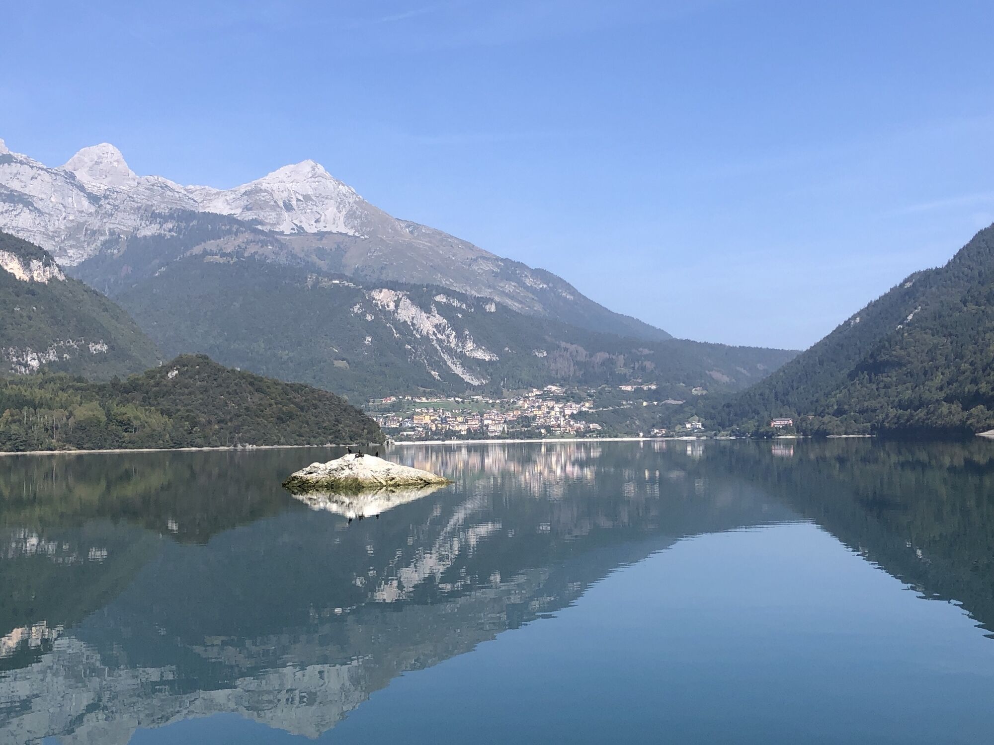
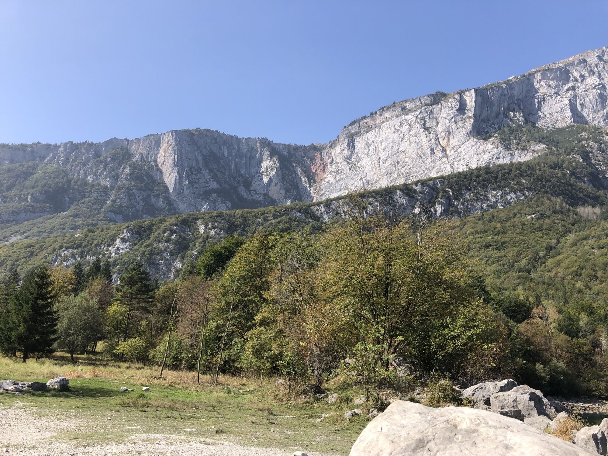
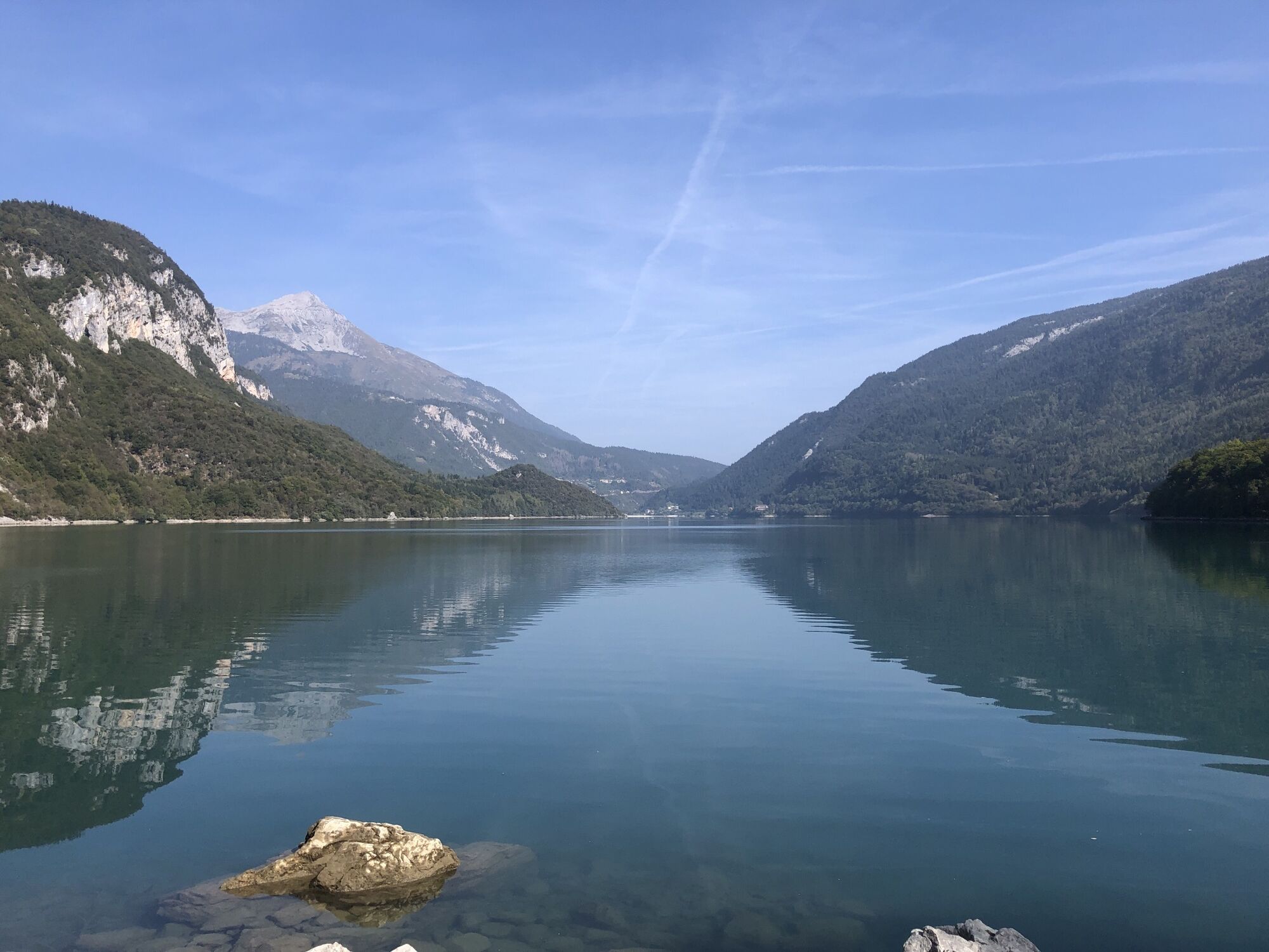
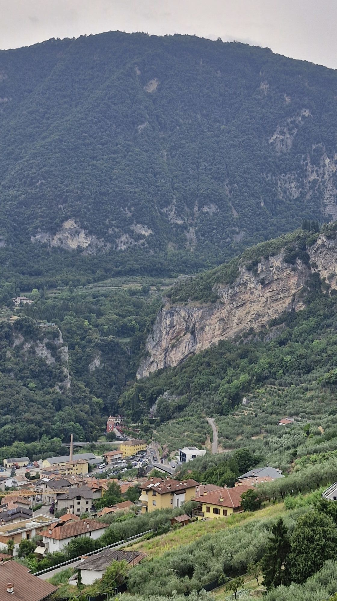
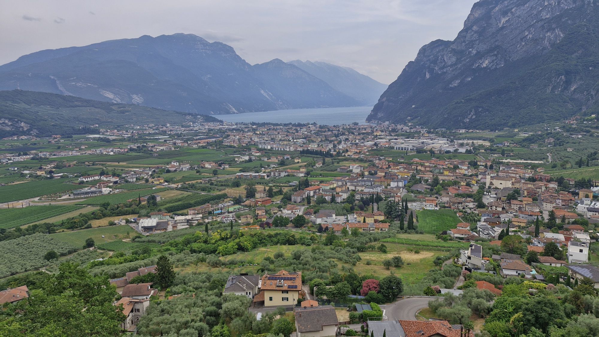
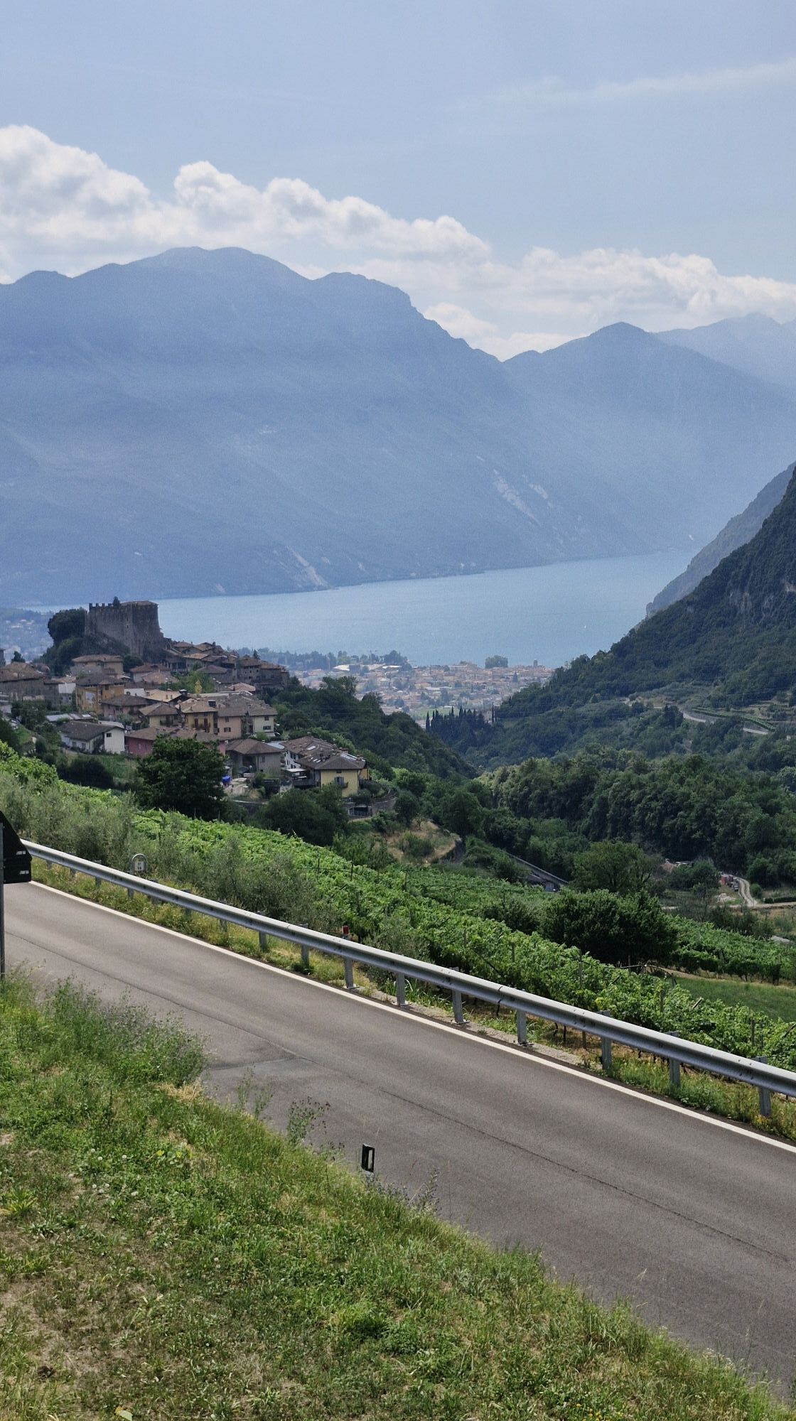
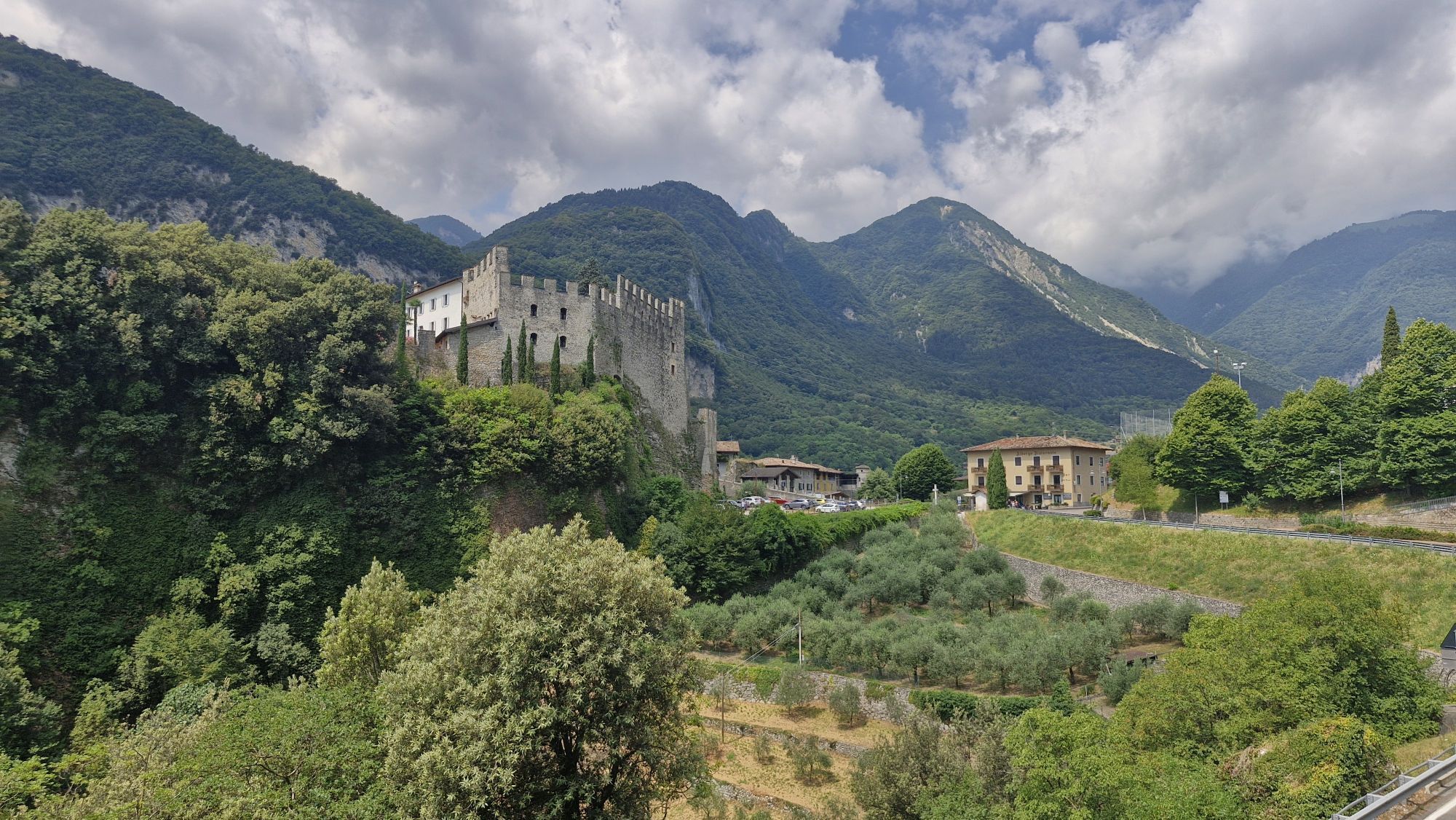
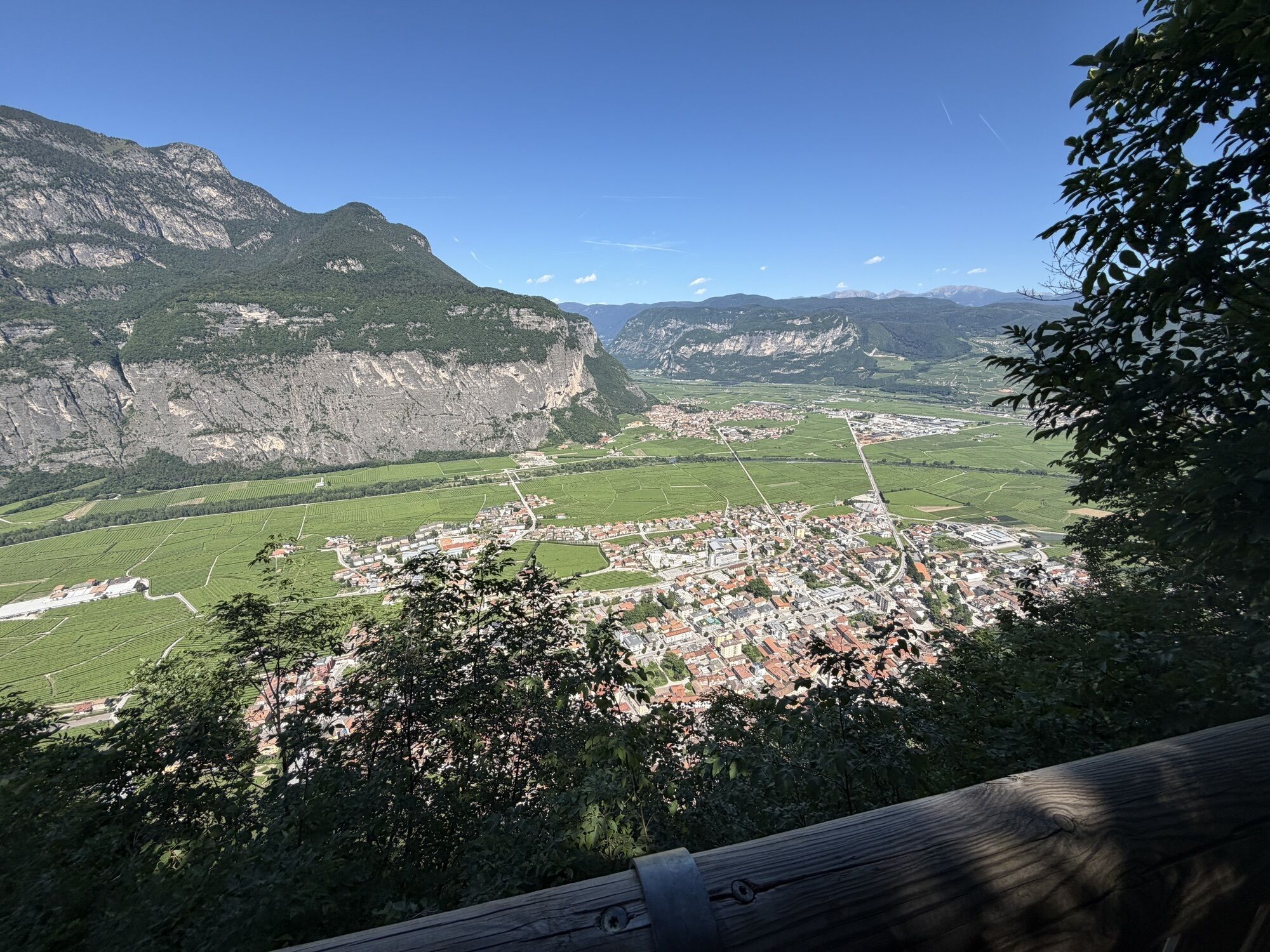
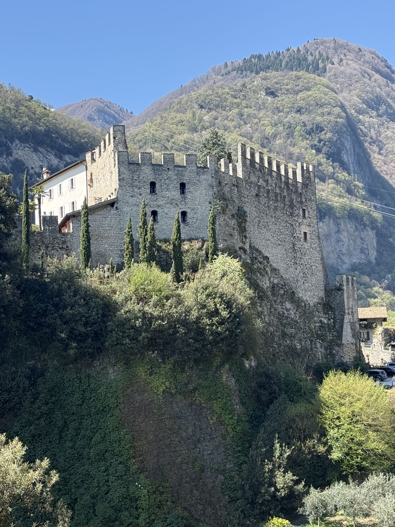
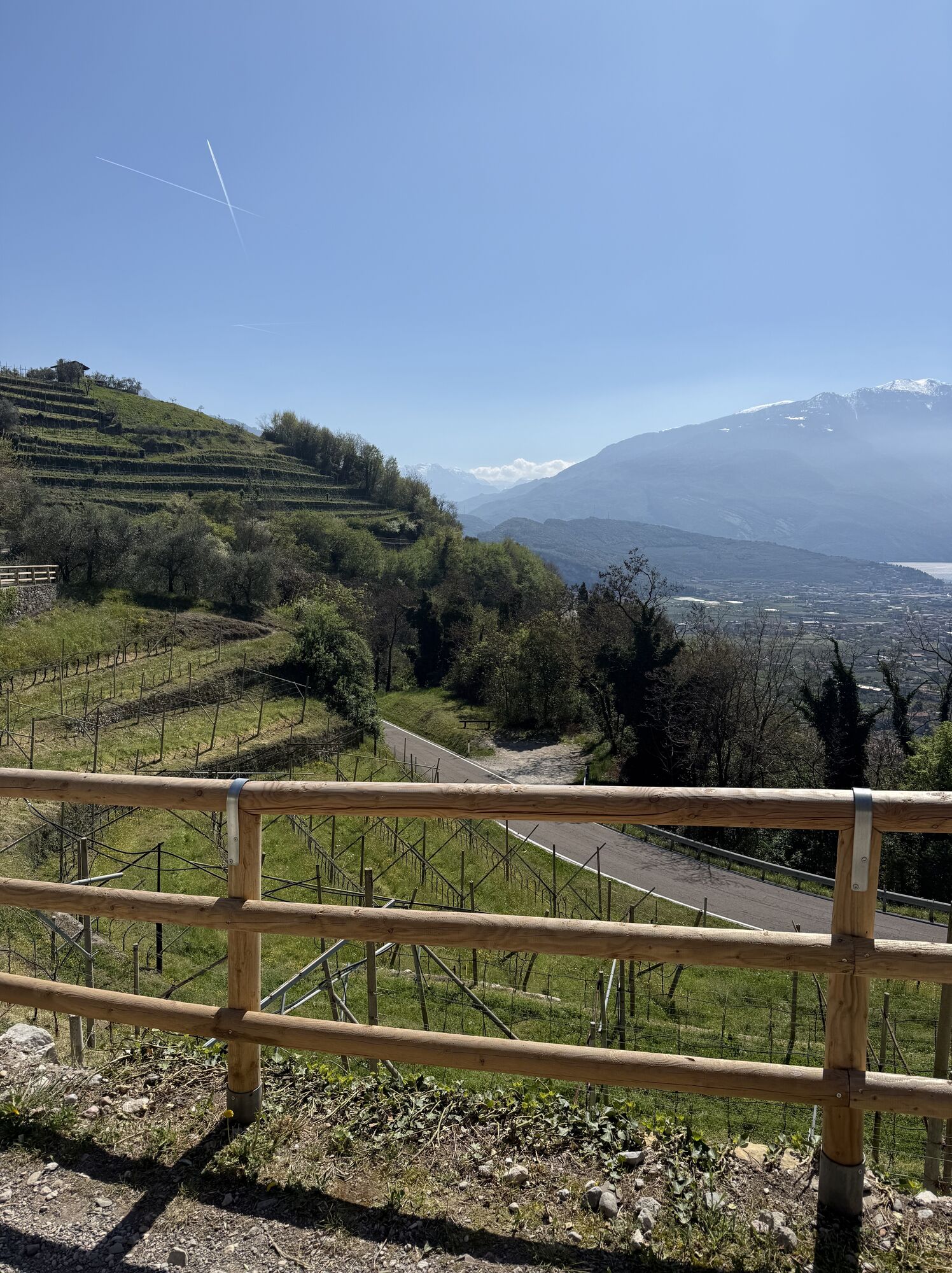
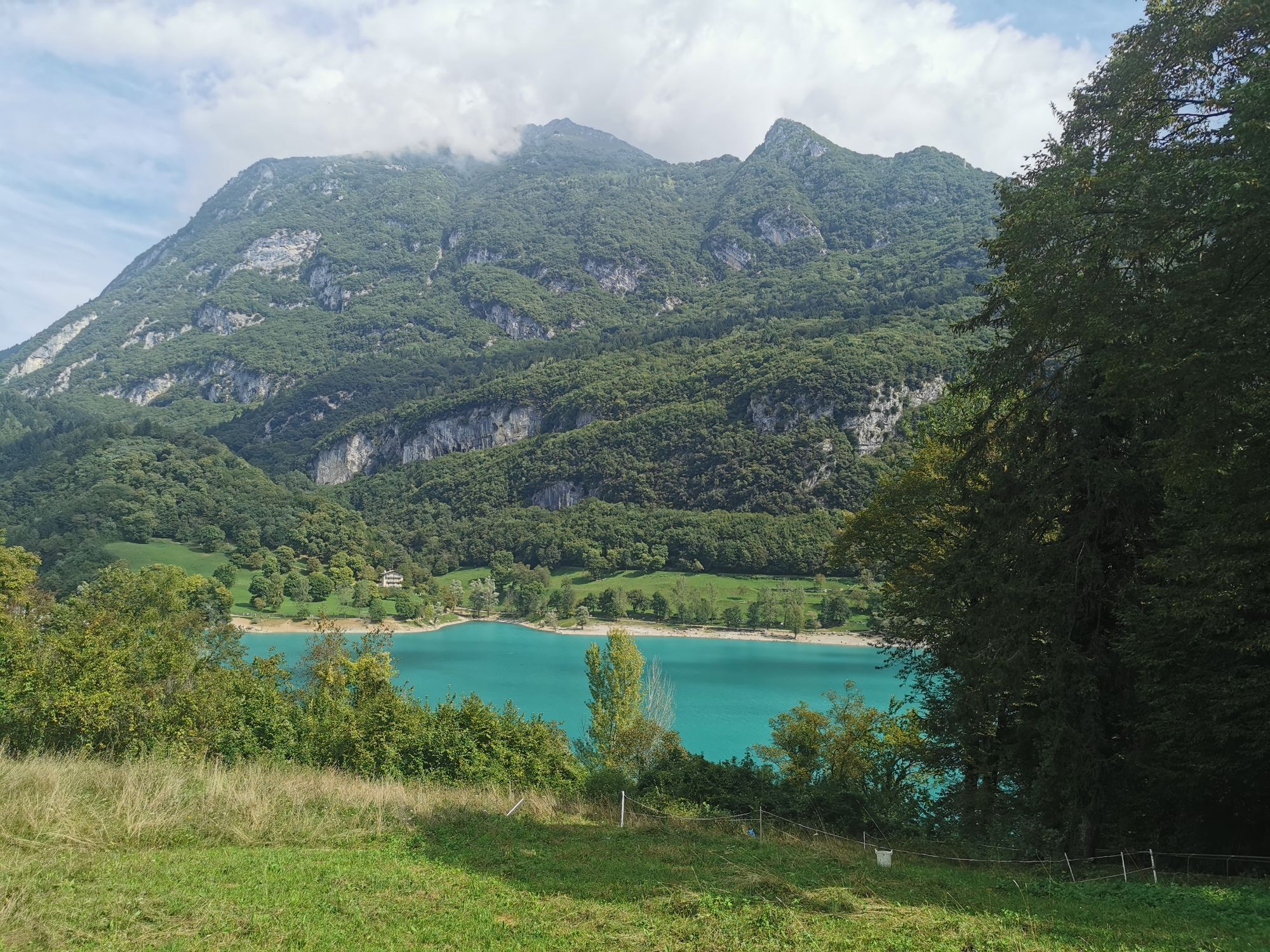
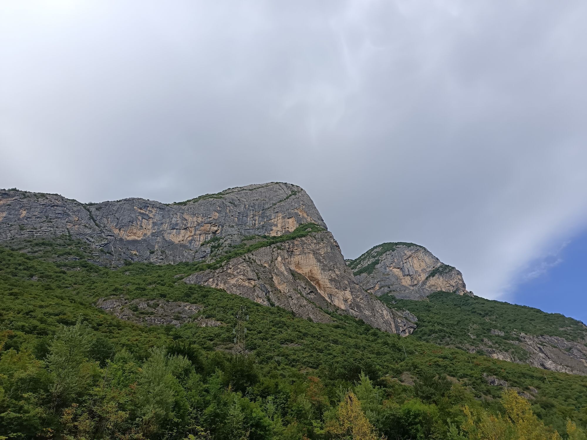
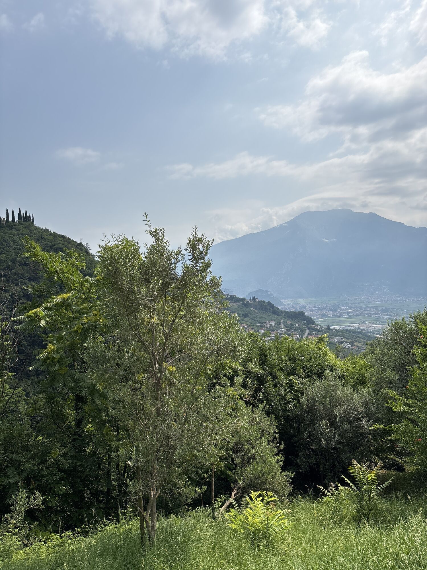
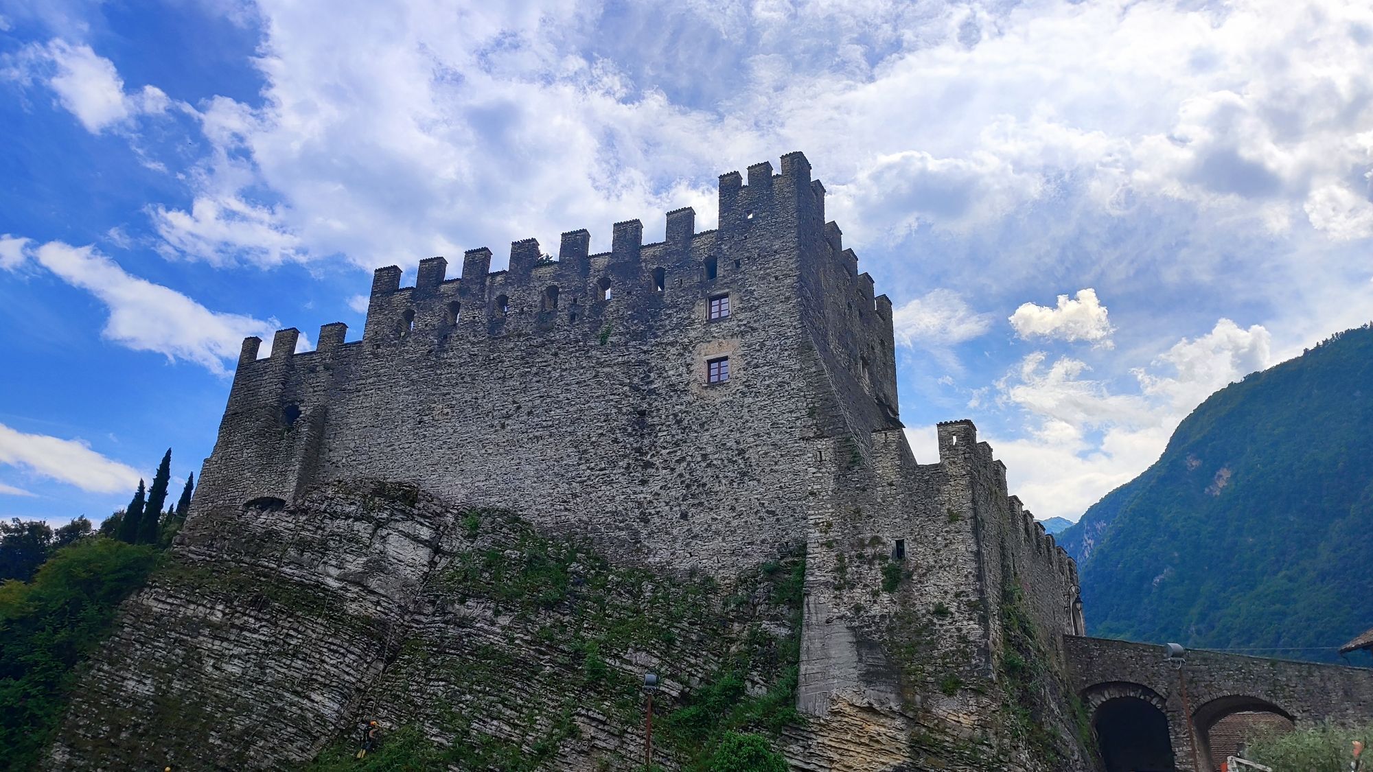
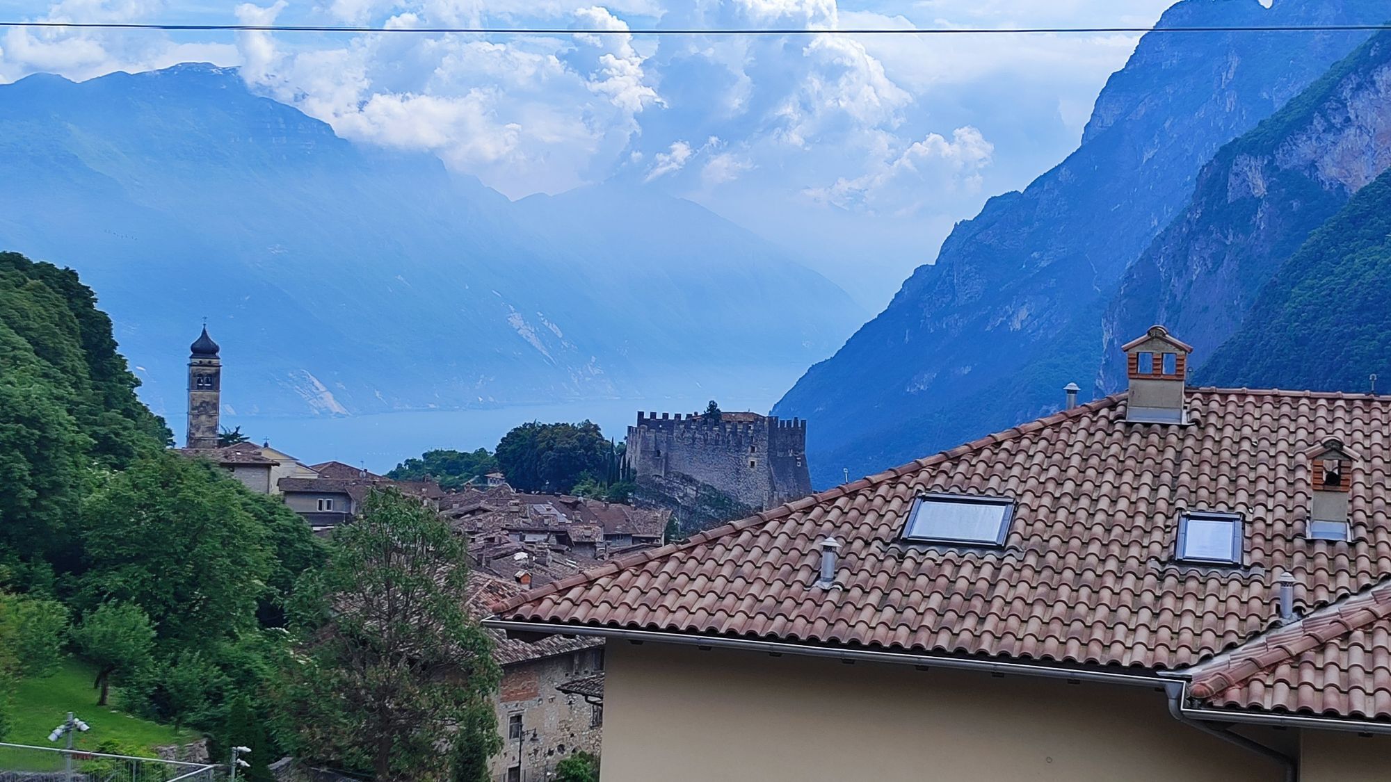
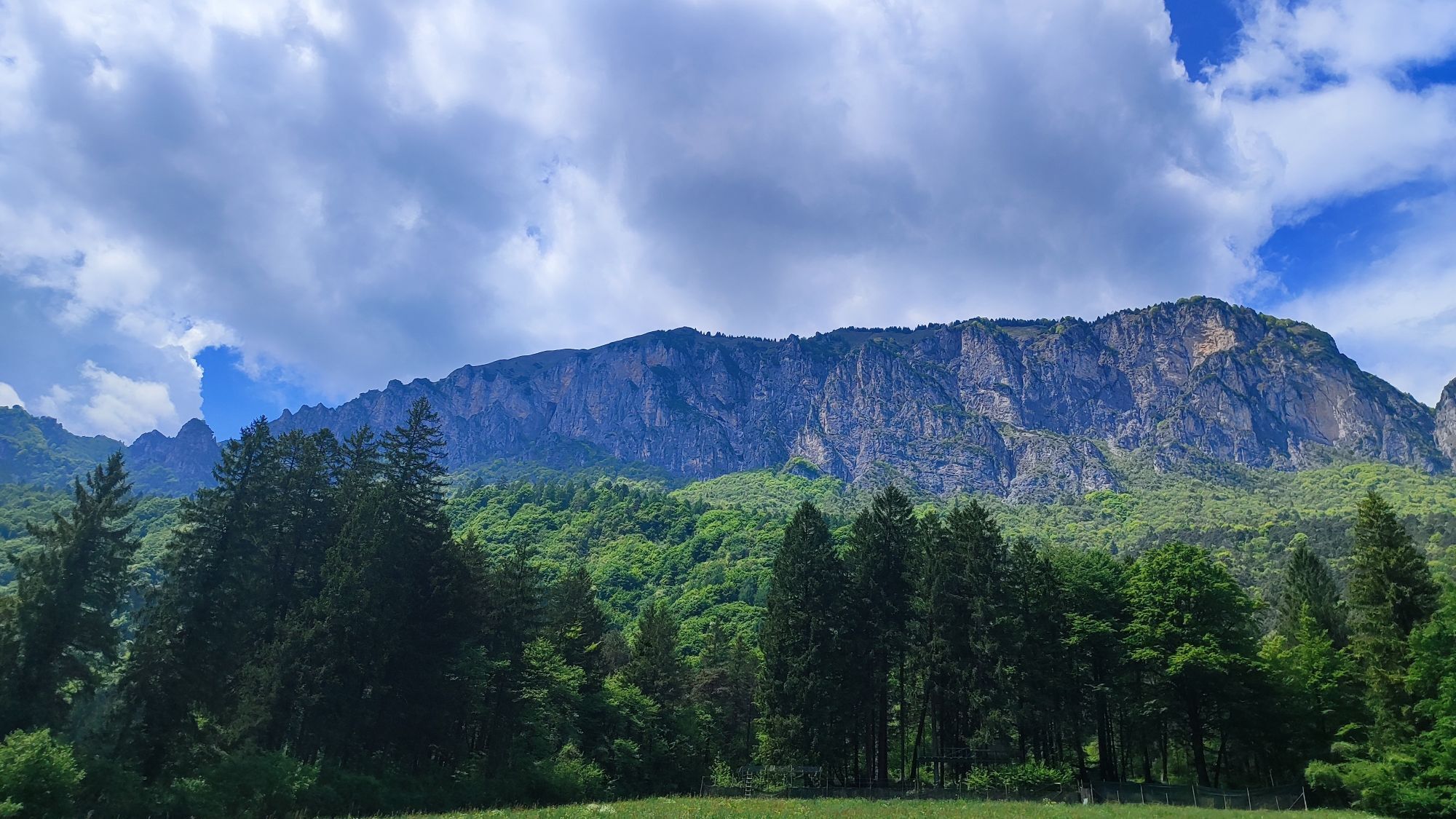
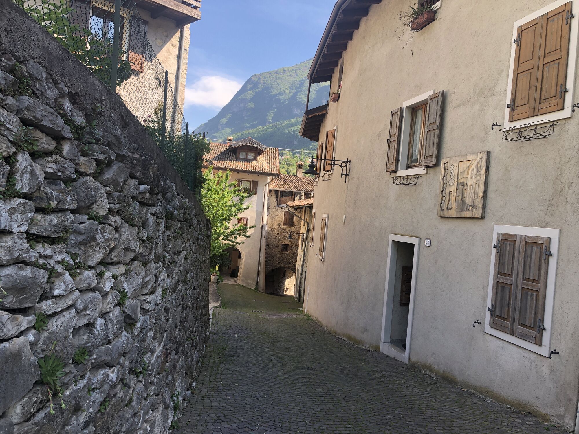
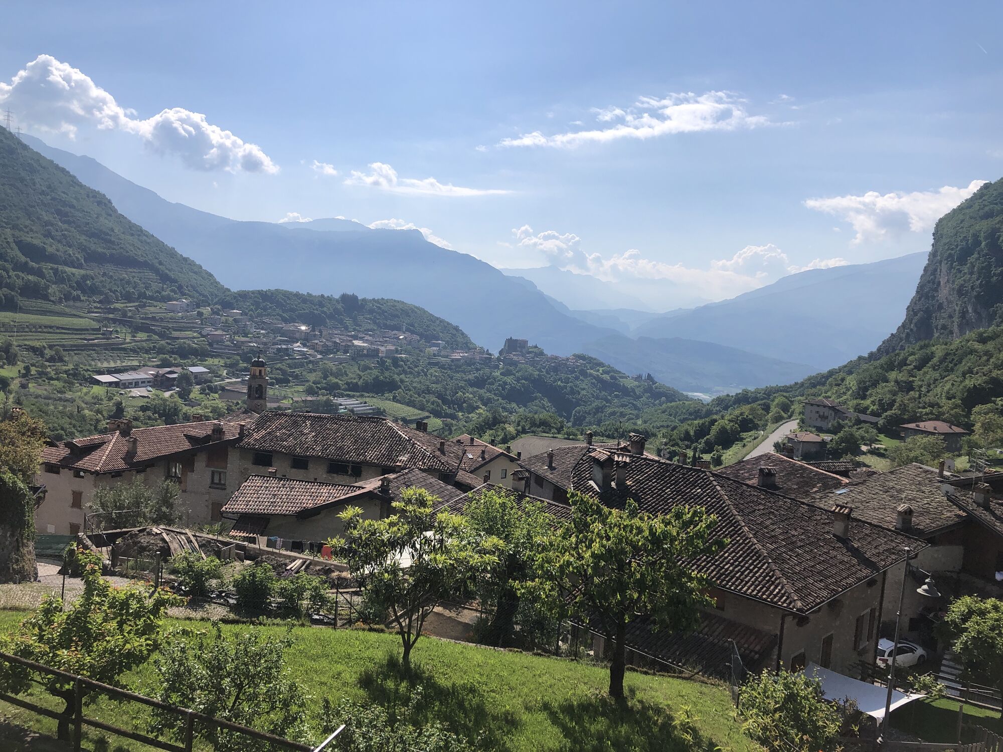
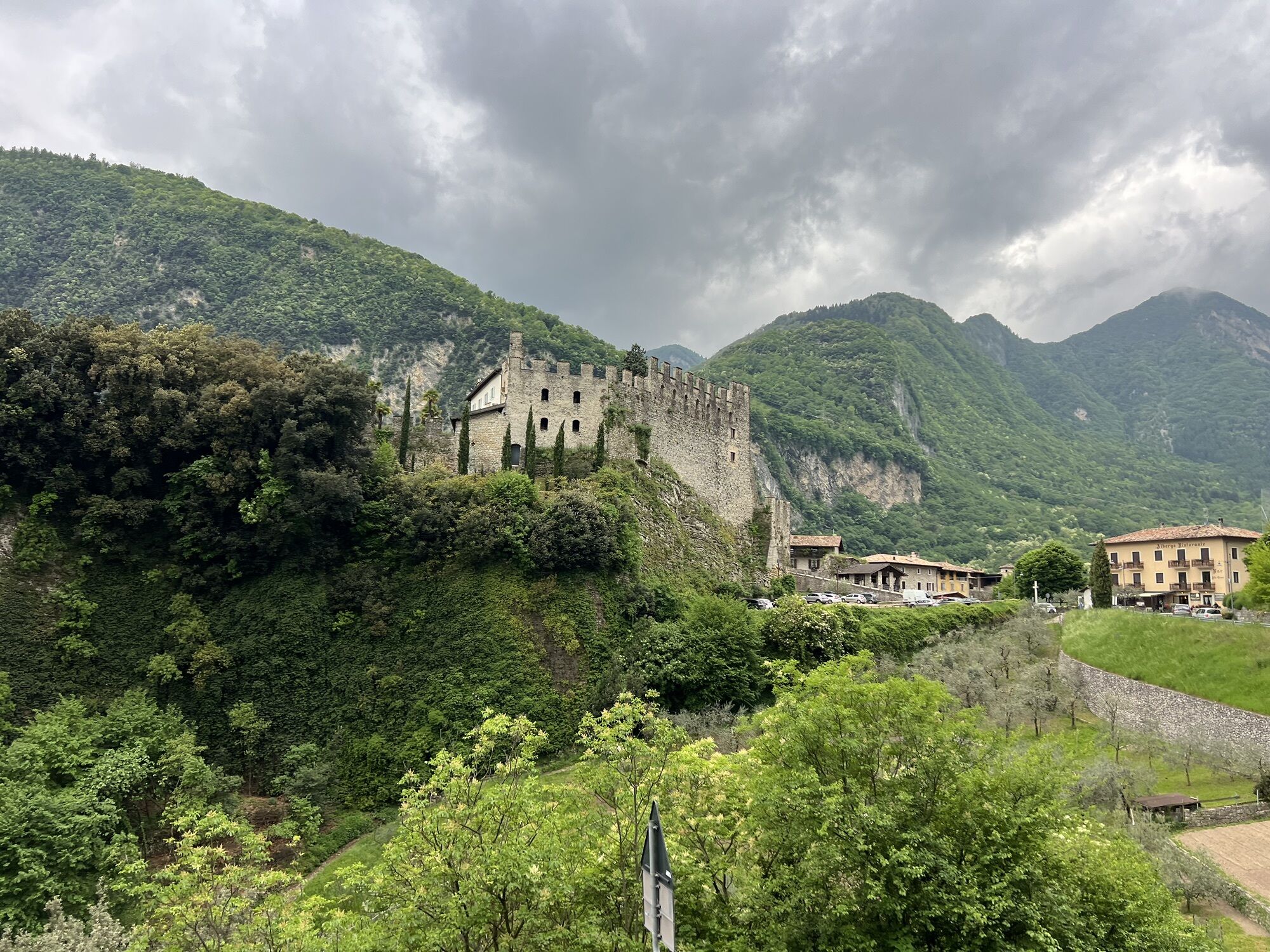
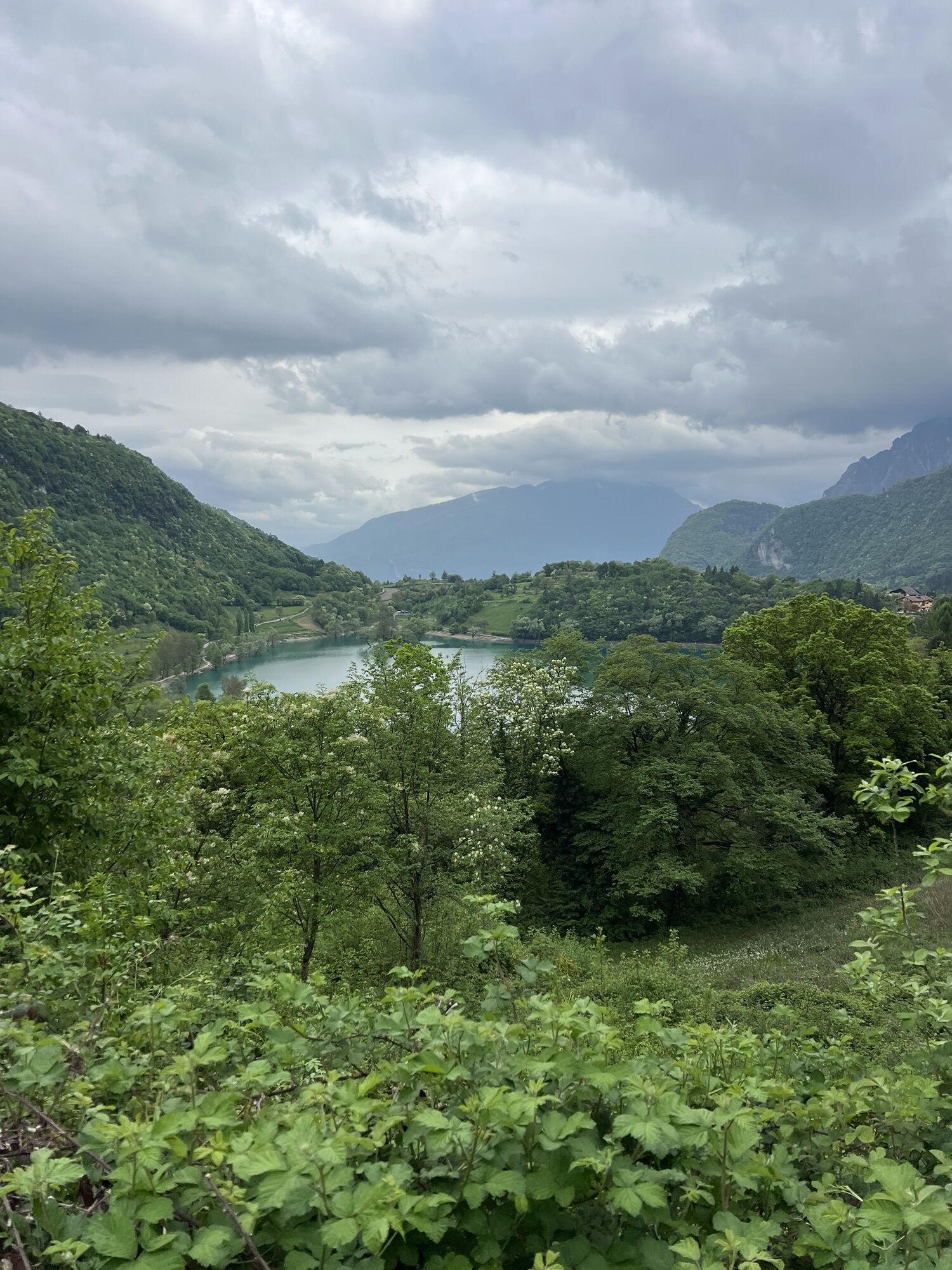
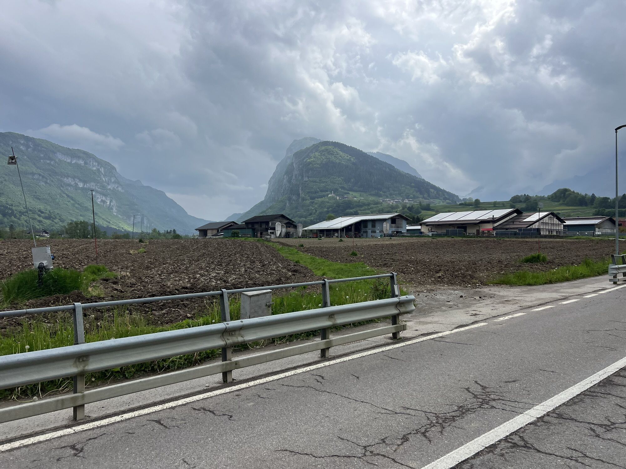
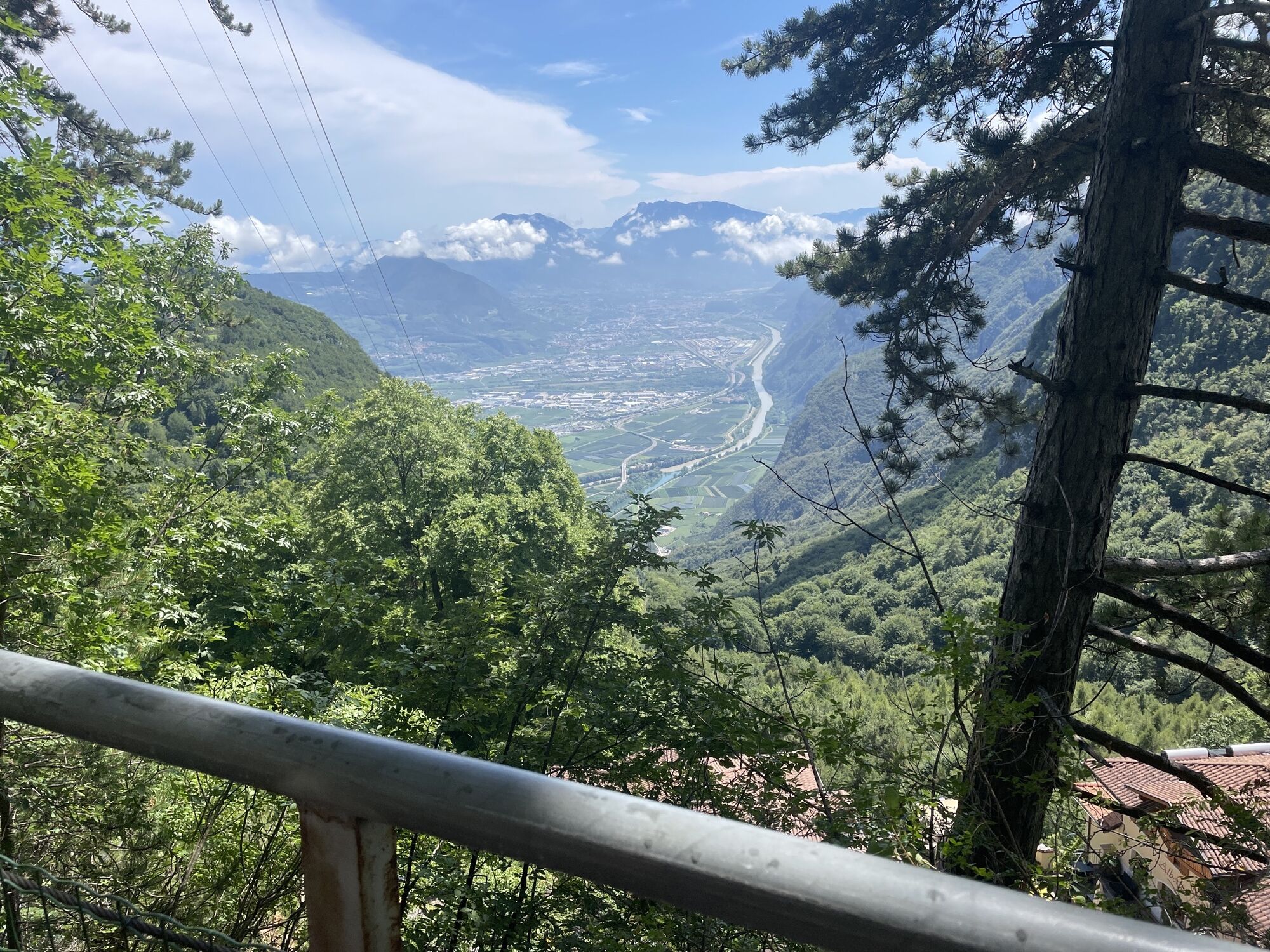
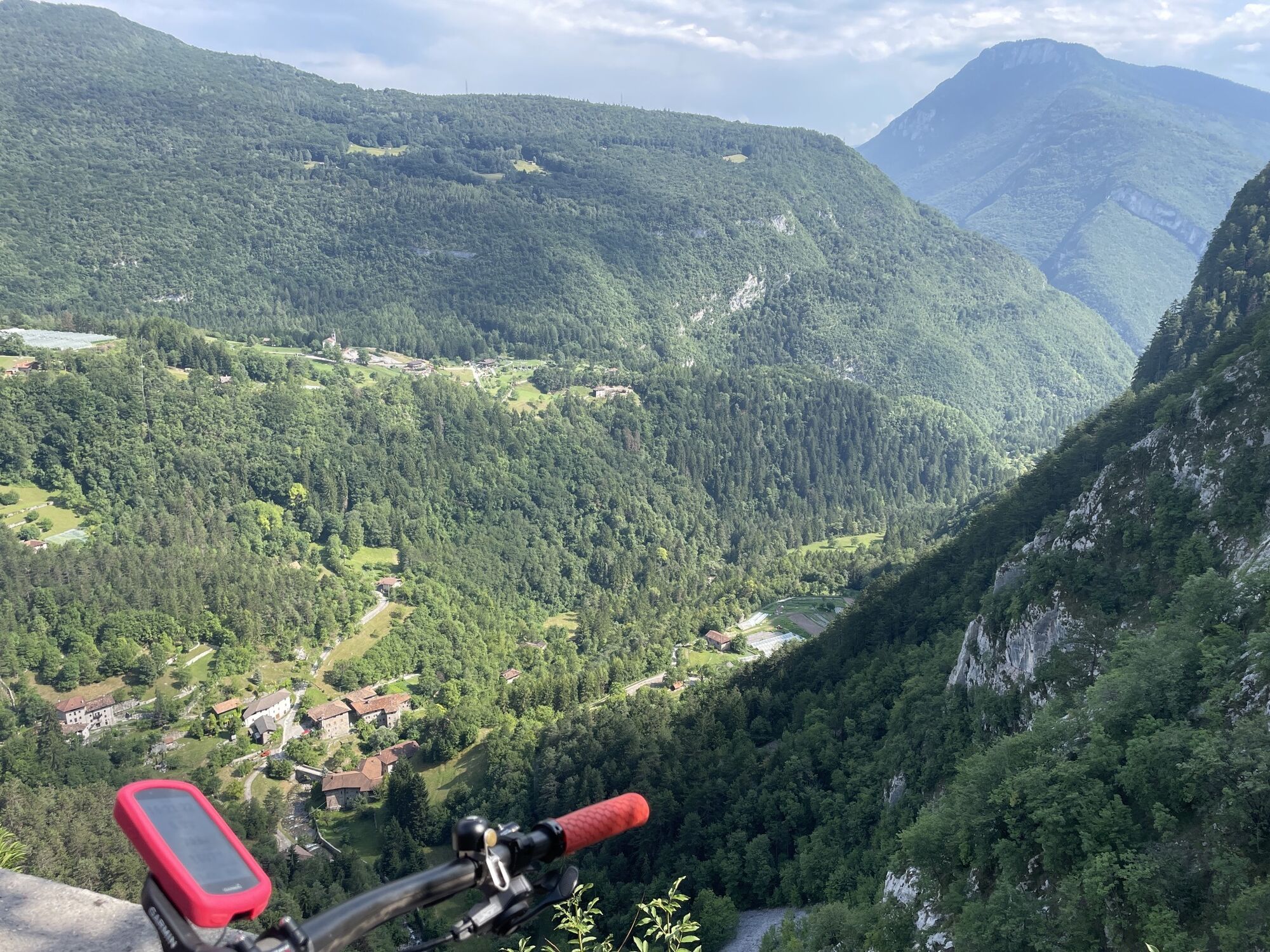
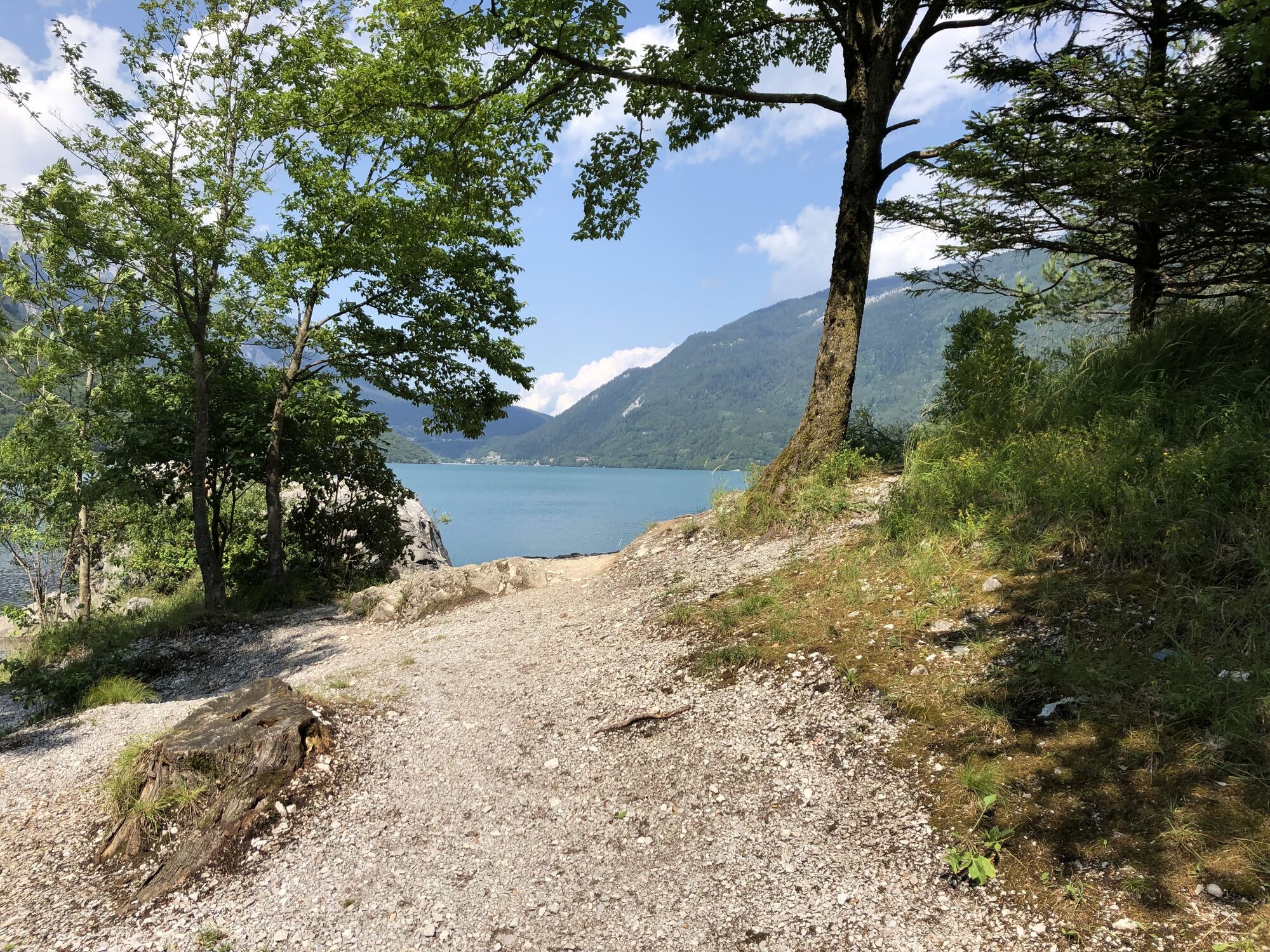
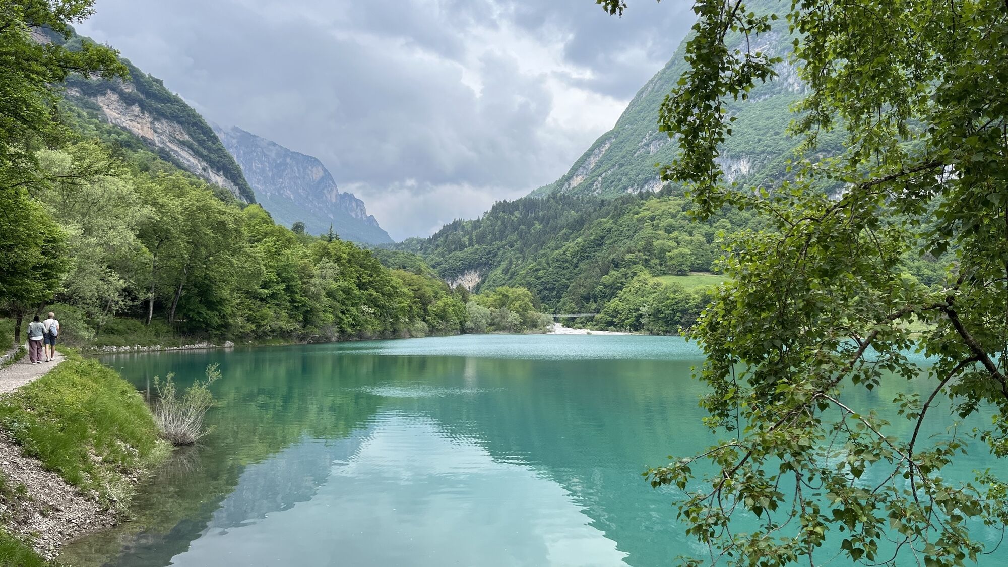
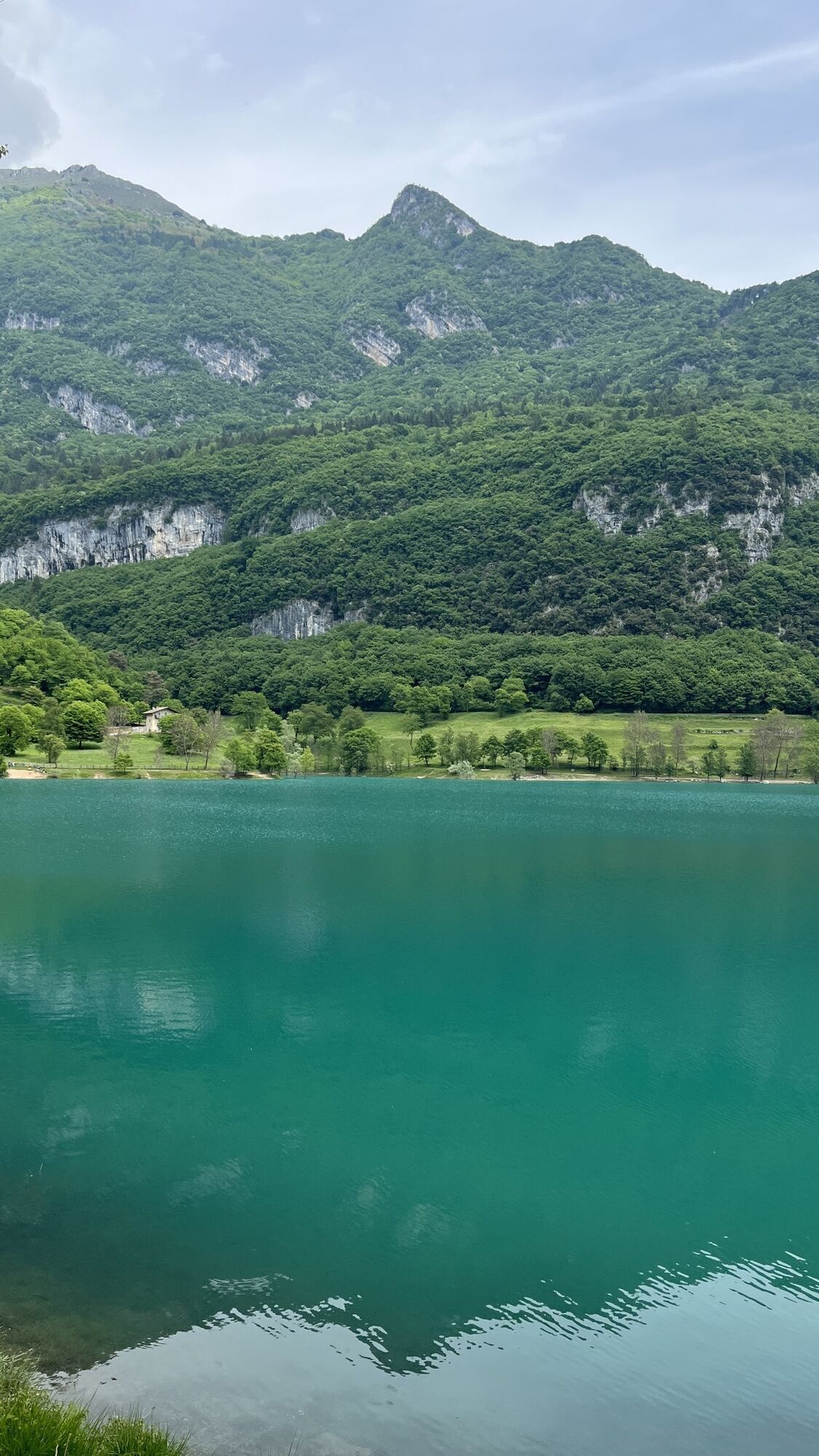
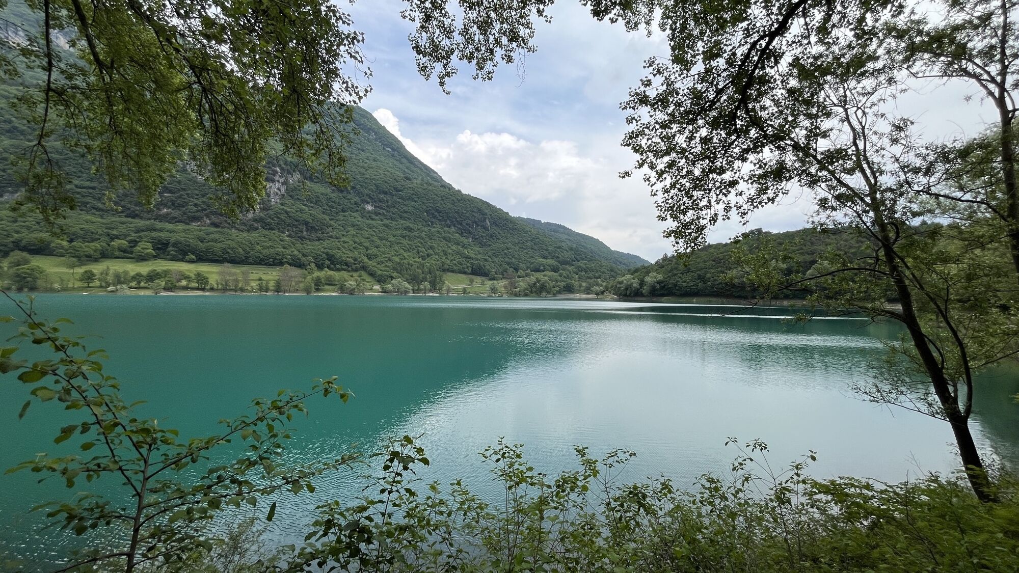
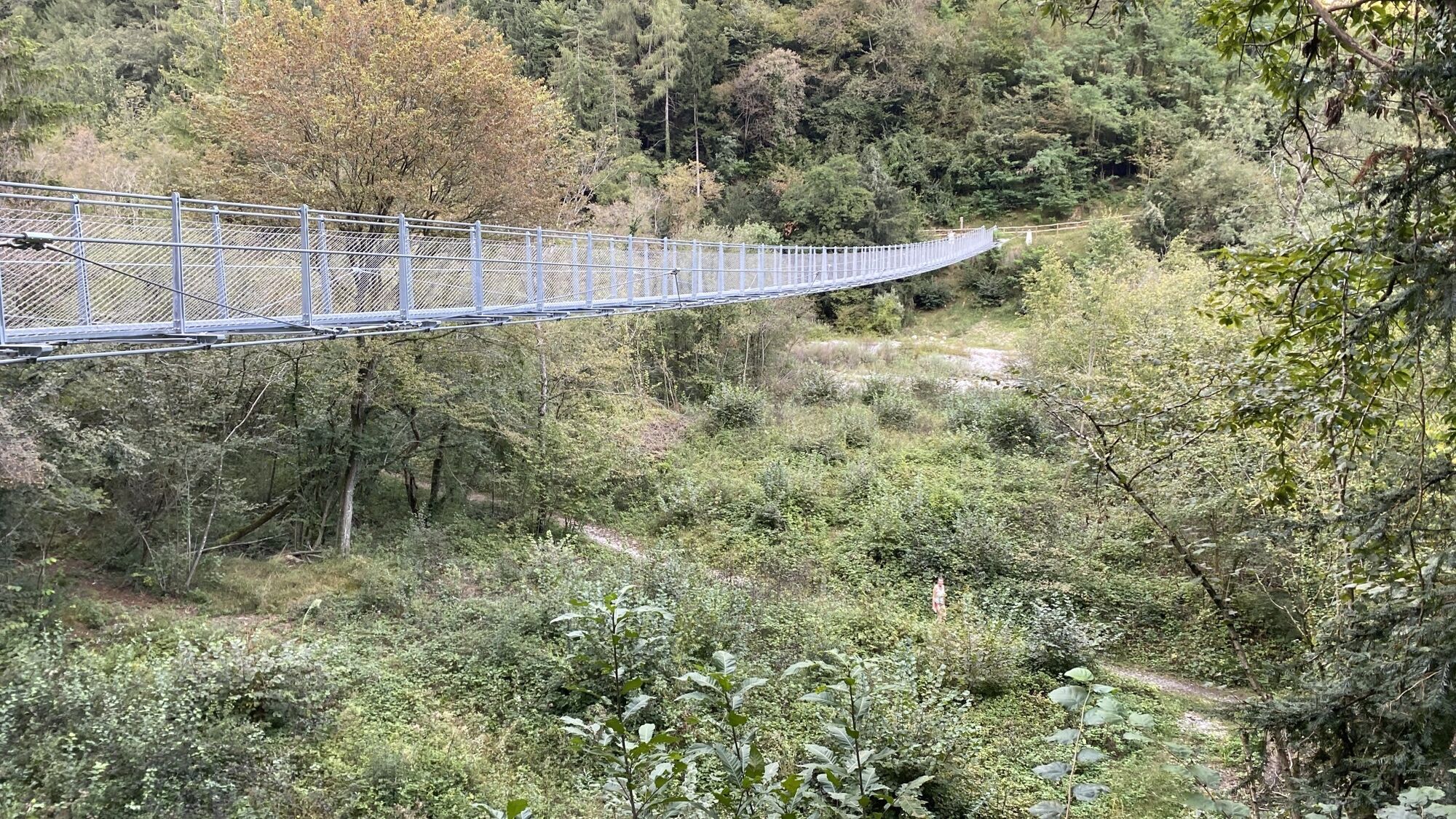
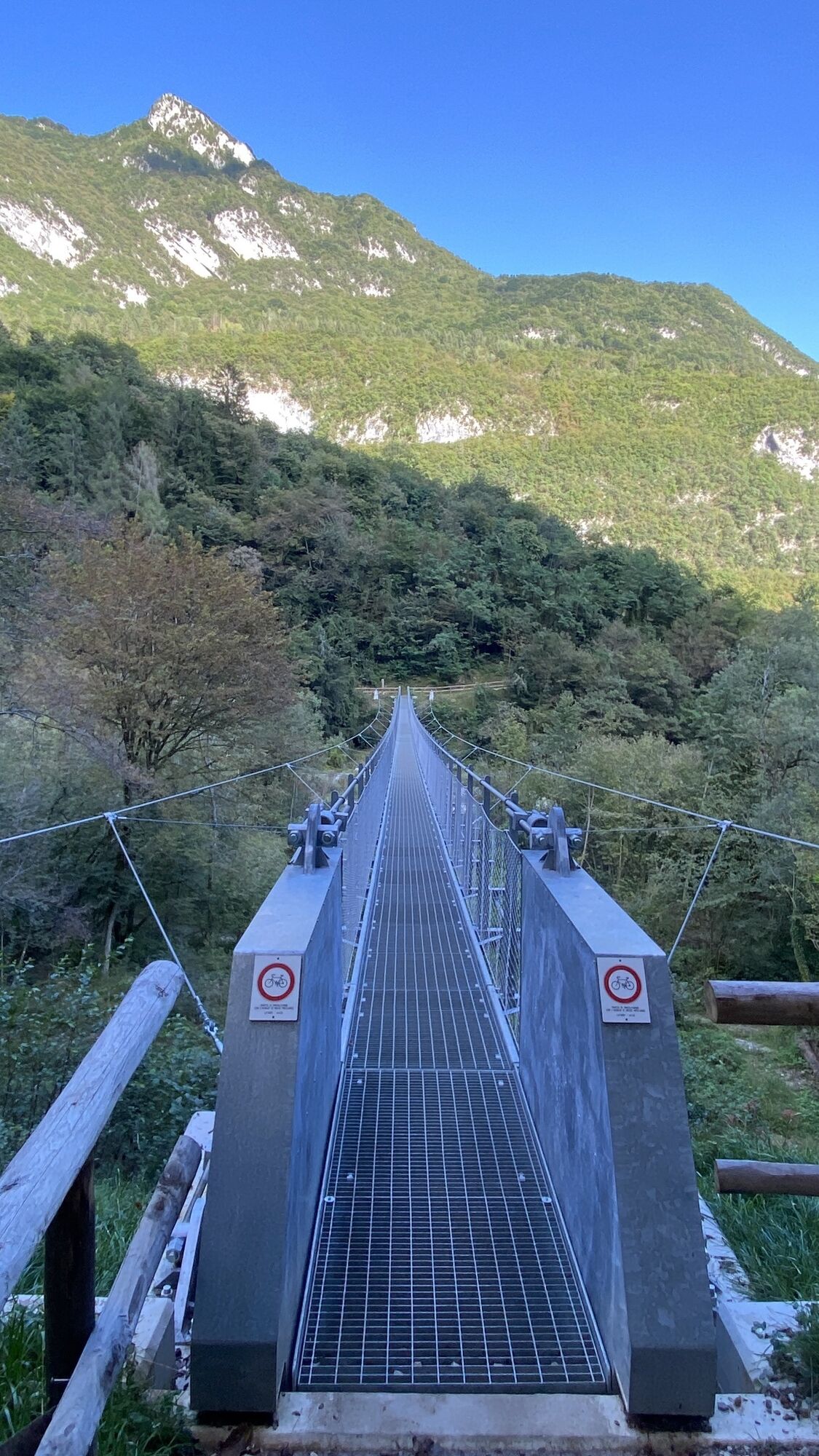
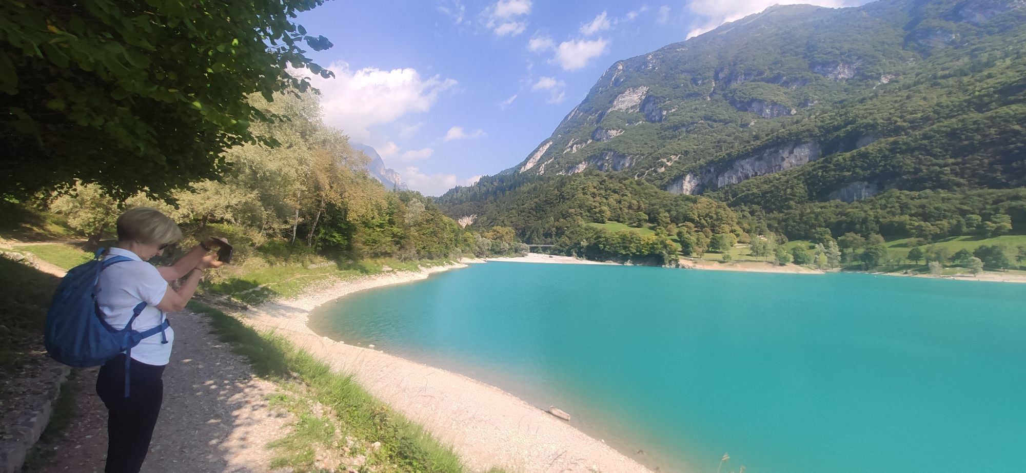
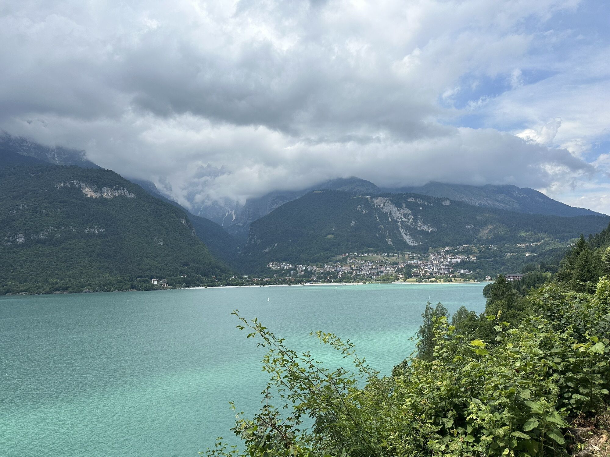
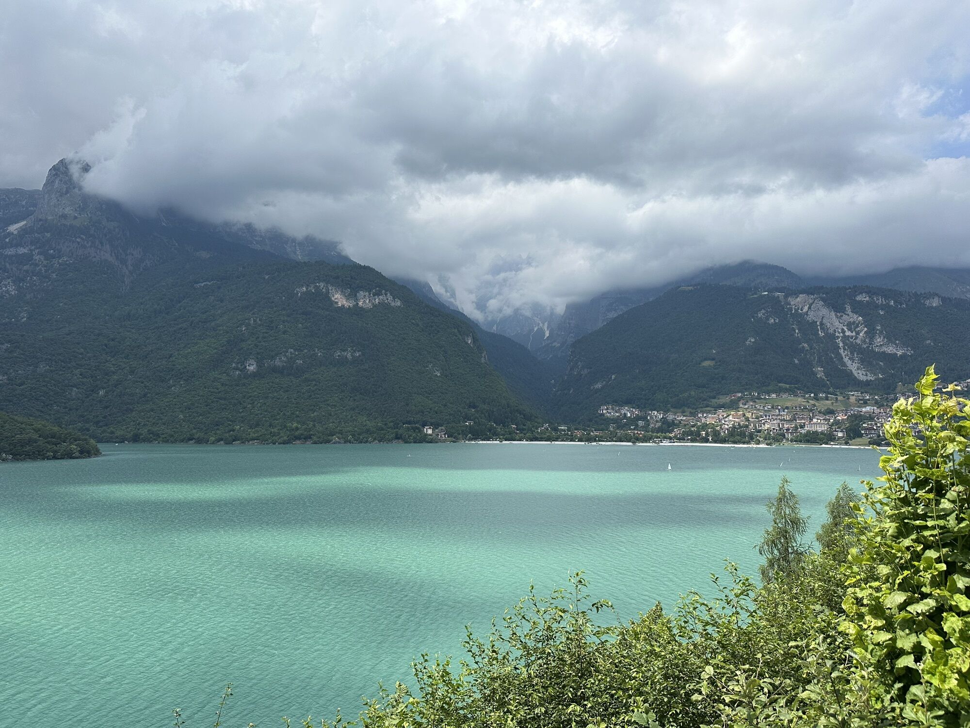
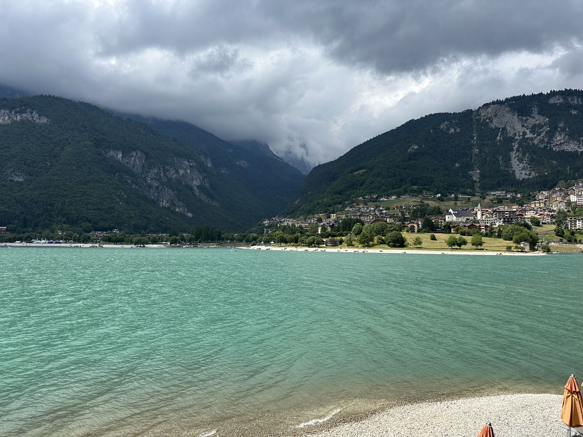
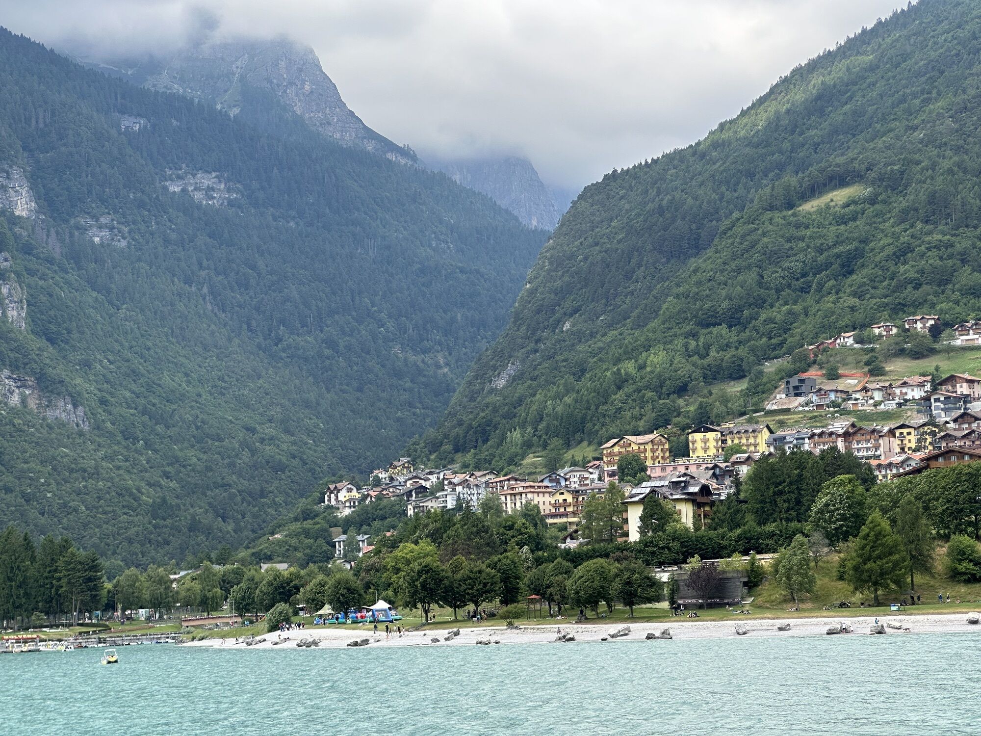


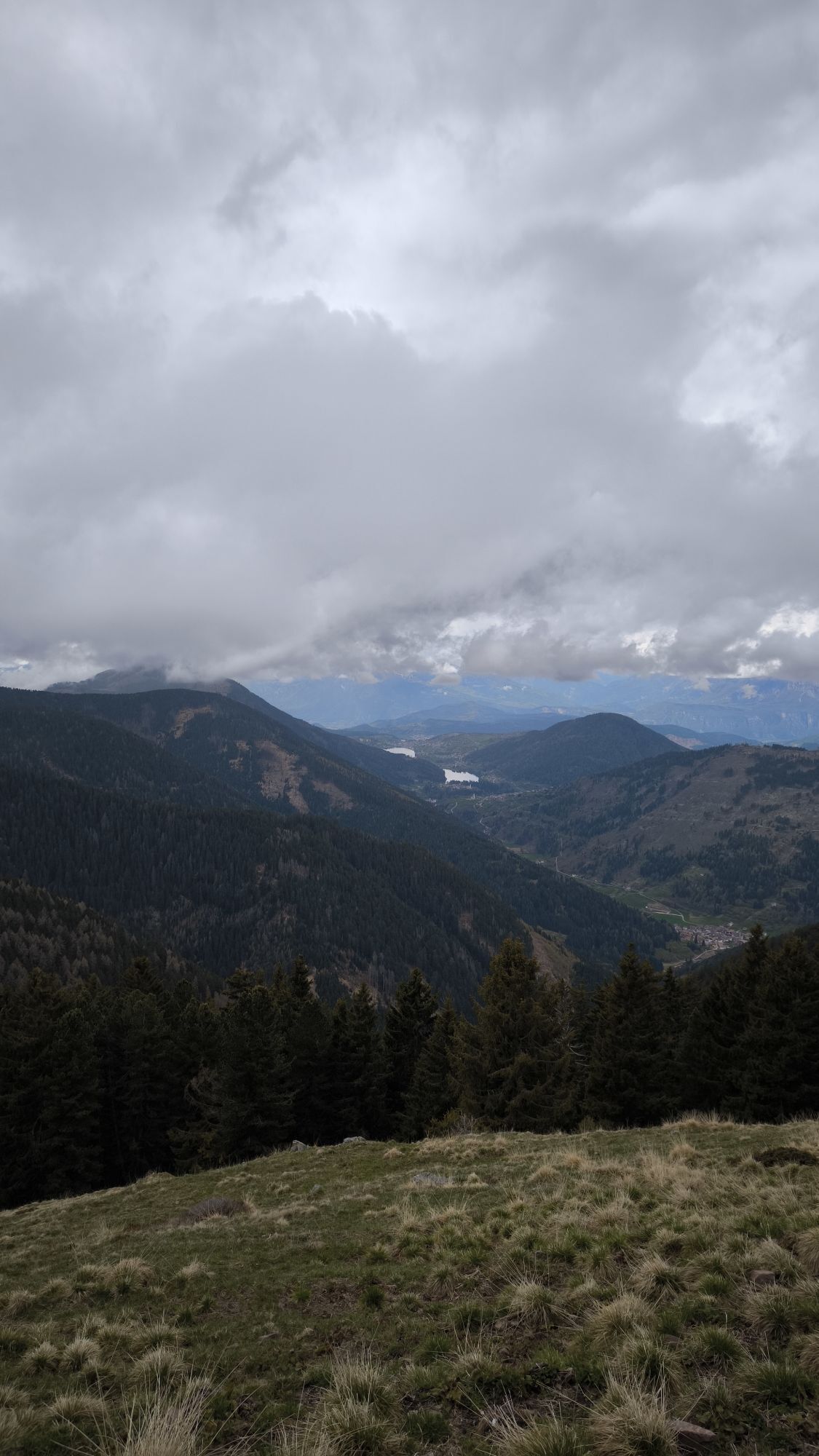
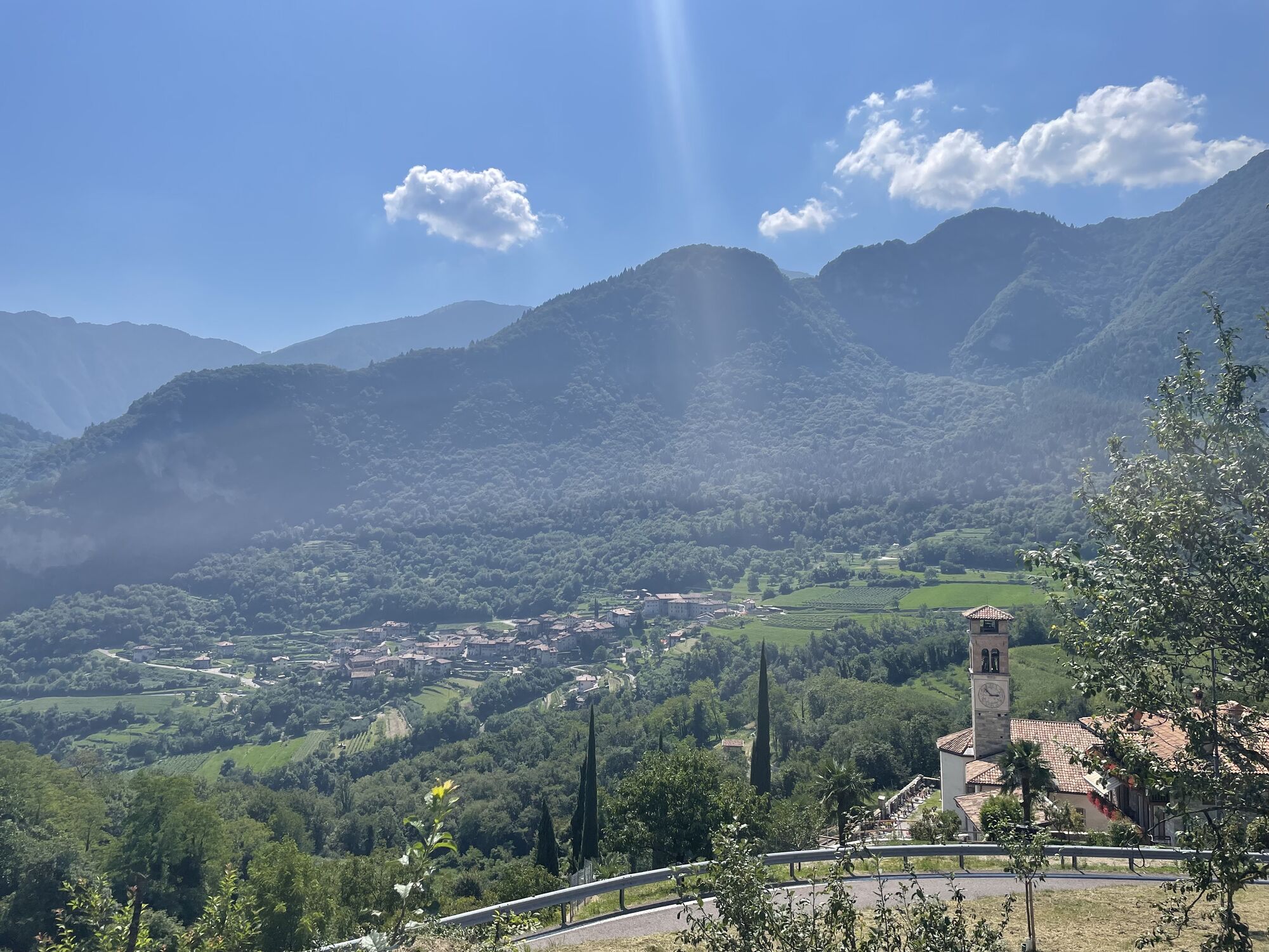
The first uphill section of this route is at the Ballino Pass, passing Lake Tenno. Afterwards, having returned downhill, a new climb leads us towards Lake Molveno and then towards Andalo. The next descent...
The first uphill section of this route is at the Ballino Pass, passing Lake Tenno. Afterwards, having returned downhill, a new climb leads us towards Lake Molveno and then towards Andalo. The next descent precedes another uphill stretch, climbing the slopes of the Paganella and leading back to Andalo.
An enjoyable trip out of town, to explore the flat land of the Paganella mountain range, not far from the Garda Trentino area.
Technically, the route features a very uneven terrain, spanning over 2500 metres. The inclines are all considerably long. The climb at Ballino has a gradient of 5.5%. The second ascent, towards Andalo, is more than 25 kilometres long, but the gradient is gentler and there are a few downhill sections. The third climb, towards Fai, is the most challenging one of the day, spanning about 11 kilometres.

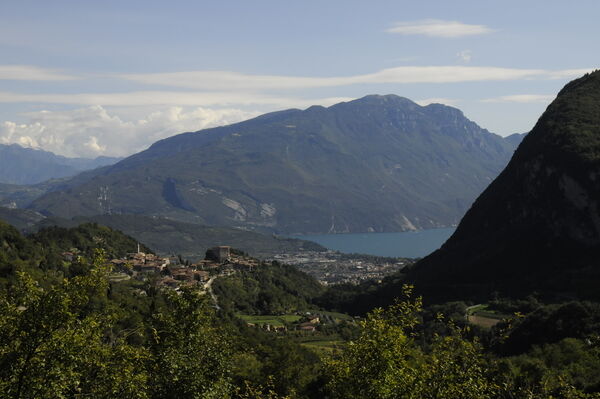
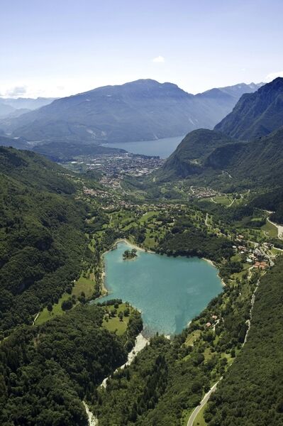

Starting from Riva del Garda go up-hill towards Pranzo, pass trough the village of Deva, until you reach the magnificent Lake Tenno. Carry on the uphill road to the Ballino Pass (750m) and then go downhill reaching Fiavé by turning left. From here onwards take the direction of Bleggio Superiore. Beyond the village of Cavrasto, turn right towards Santa Croce to reach Bleggio Inferiore until Ponte Arche and Comano Terme. At the crossroads turn left and immediately afterwards turn right to cross over the bridge on the river Sarca in the direction of Villa Banale. From here on starts the uphill road that leads to San Lorenzo in Banale. You will flank the Lake Molveno and by going up 5 km you will reach Andalo. Go down on the right in the direction of Fai. At the end of the downhill turn left on the provincial road heading towards the Val di Non valley. After the tunnel keep the left and go uphill towards Spormaggiore from where you will have a marvellous view on the Val di Non valley and its famous apple tree gardens. Pass through Cavedago and carry on to Andalo closing the loop.
Get back on the same road, cycle through to the Ballino pass going downhill in the direction of Lake Tenno, go straight, pass through the town of Tenno and continue the panoramic downhill stret passing by Varone, where there's the magnificient waterfall, and then get back to starting point Riva del Garda.
Áno
Riding your bike requires specific clothing and equipment, even for relatively short and easy trips. It is always better to be prepared… e.g. for bad weather or a drop your energy levels. The unexpected things also make up a part of the fun!
Do not compare a road bike with a mountain bike. They are very different, especially in technical terms, and facing a hill with a road bike could be much more difficult than facing the same hill with a MTB. Therefore, remember to throughly evaluate the type of route you plan to do and the locations you plan to cross. Do not forget to consider the current season. Has it been raining? Attention: the paint of the crosswalk could be very slick.
What do I need to bring on my bike tour?
Bike helmet Bike gloves Bike glasses Waterproof/Windproof jacket Headlights and rearlights Reflecting suspenders Plenty of snacks (for example, dried fruit or energy bars) Water Bottle Bike repair kit (tire levers, mini bike pump, bike tube)It is always advised to let someone know where you plan to go and how long you expect to be.
Emergency telephone number 112.
Give your bike a regular checkup, especially if you've had it for years.
Be seen: you must wear a high vis jacket (or sash) in tunnels and on country roads after sunset.
Always wear your helmet.
Make sure your front and rear lights are working.
Put out your arm to give advance warning of your intention to change position and before you do anything, check there are no vehicles coming up behind you.
Don't use headphones or your mobile phone handsfree kit: you need all your concentration on the road!
Obey the road signs: stop at traffic lights and don't ride on the wrong side of the road.
If you are cycling in a group, always go in single file.
You've got a bell: use it to let pedestrians know you're there. Don't ride on footpaths. If you have to then get off and push your bike.
If there are cycle paths use them. It's your safety that's at stake and the rules of the road say you must.
Getting to northern lake Garda / Garda Trentino
The towns in Garda Trentino - Riva del Garda, Torbole sul Garda and Arco – are connected by several urban and intercity bus lines which will take you to the starting point or in the immediate surroundings.
For up-to-the-minute information on timetables and routes
You can also get to Riva del Garda and Torbole sul Garda by the public ferry service.
Free parking near the former hospital (Via Rosmini).
Paid parking: Terme Romane (Viale Roma), Vecchia stazione (Largo Medaglie d’Oro), Ex-agraria (Via Lutti).
6
This itinerary is very long and extremely tough. Pace yourselves carefully and don’t forget to eat, or you'll soon run out of energy!
Webové kamery z prehliadky
-
Surfcenter Lido Blu
-
Riva del Garda - Varone
-
Cima Paganella
-
Cima Paganella
-
Cima Paganella
-
Cima Paganella
-
Cima Paganella
-
Cima Paganella
-
Cima Paganella
-
Cima Paganella
-
Cima Paganella
-
Riva del Garda - Trattoria Acetaia
-
Andalo - Paganella
-
Arco
-
Riva del Garda - Porto
-
Torbole - Residence Casa al Sole
-
Torbole - Hotel Lido Blu
-
Riva del Garda - Bastione
-
Andalo - Teresat
-
Andalo - Dosson
-
Andalo - Meriz
-
Molveno - Pradel
Získajte prehľad
Vždy naživo na mieste s viac ako 9 500 webovými kamerami. bergfex Ako používateľ Pro si teraz môžete pozrieť príslušné webové kamery pre mnohé zájazdy v aplikácii zájazdy z. Môžete si tak priamo prezerať aktuálne podmienky.
Aktivity počas prehliadky

Obľúbené výlety v okolí
-
4,7
Burrone Klettersteig (B)
Via ferrata 4,30 km -
3,5
Rio Secco (D)
Via ferrata 2,42 km -
3,5
Rifugio Selvata
strednáTuristika 12,1 km -
4,5
Prati di Prada and the Lakes of Lamar
svetloTuristika 8,05 km -
3,5
Molveno - Rifugio Pradel - Rifugio Croz dell'Altissimo
svetloTuristika 3,69 km -
4,7
Klettersteig Val del Ri
strednáVia ferrata 4 km -
4,0
Molveno - Rifugio Pradel - Rifugio Croz dell'Altissimo - Rifugio Selvata
strednáTuristika 10,7 km -
5,0
Andalo-Molveno-rifugio croz dell' altissimo e rit.
svetloTuristika 18,5 km -
5,0
Monte Gazza - Tour
ťažkéMountainbike 47,4 km -
5,0
Von Fangart nach Margreid
svetloMountainbike 60,8 km
Turistika a stopovanie


Nenechajte si ujsť ponuky a inšpiráciu na ďalšiu dovolenku
Vaša e-mailová adresa bol pridaný do poštového zoznamu.





