


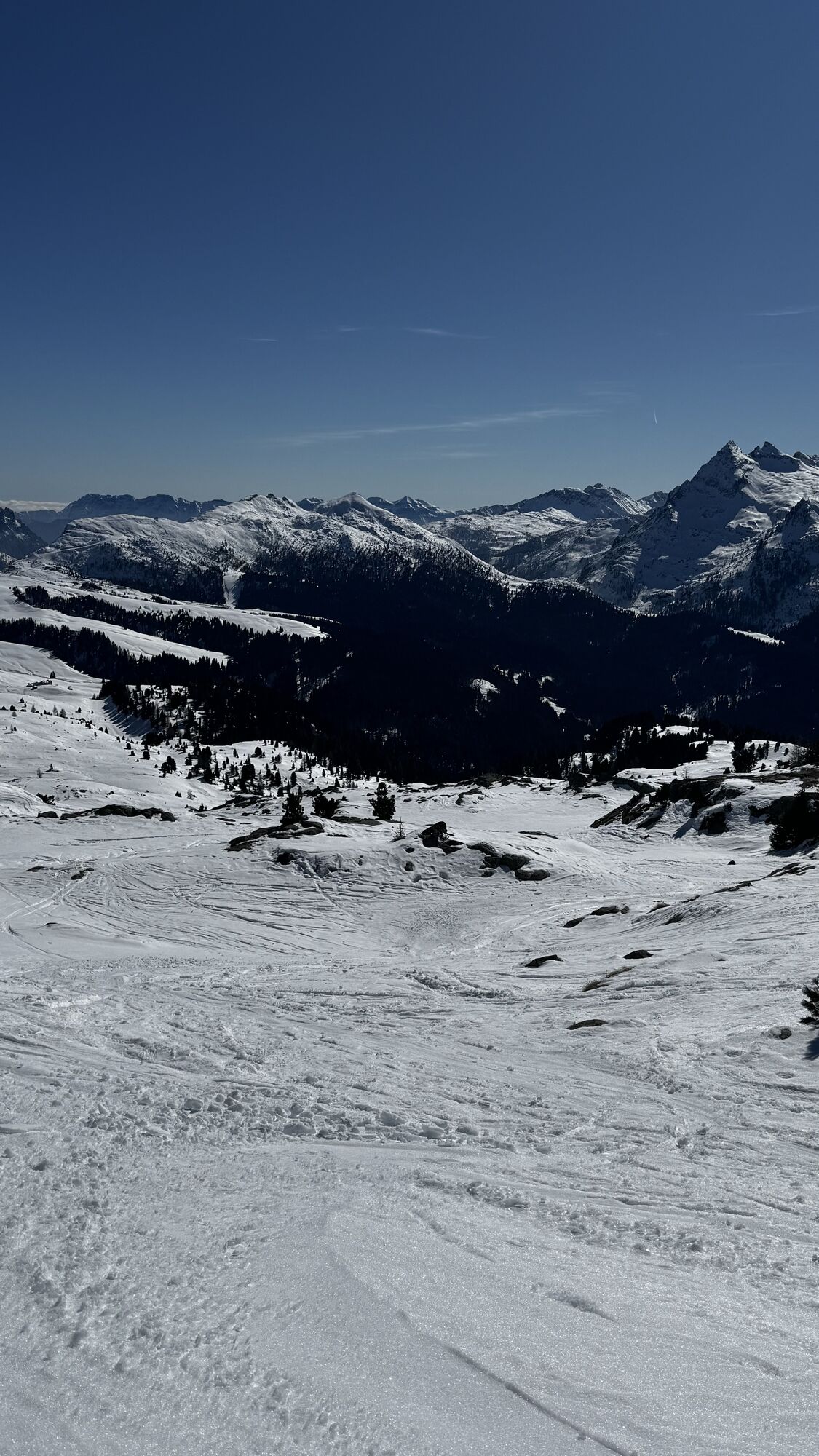
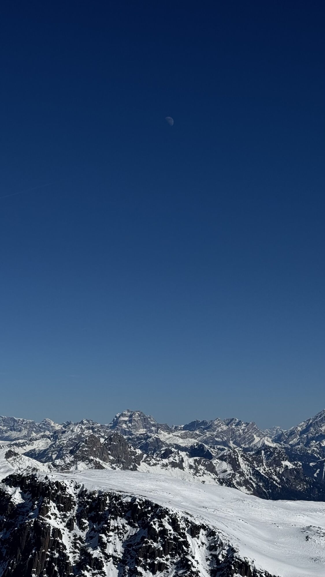
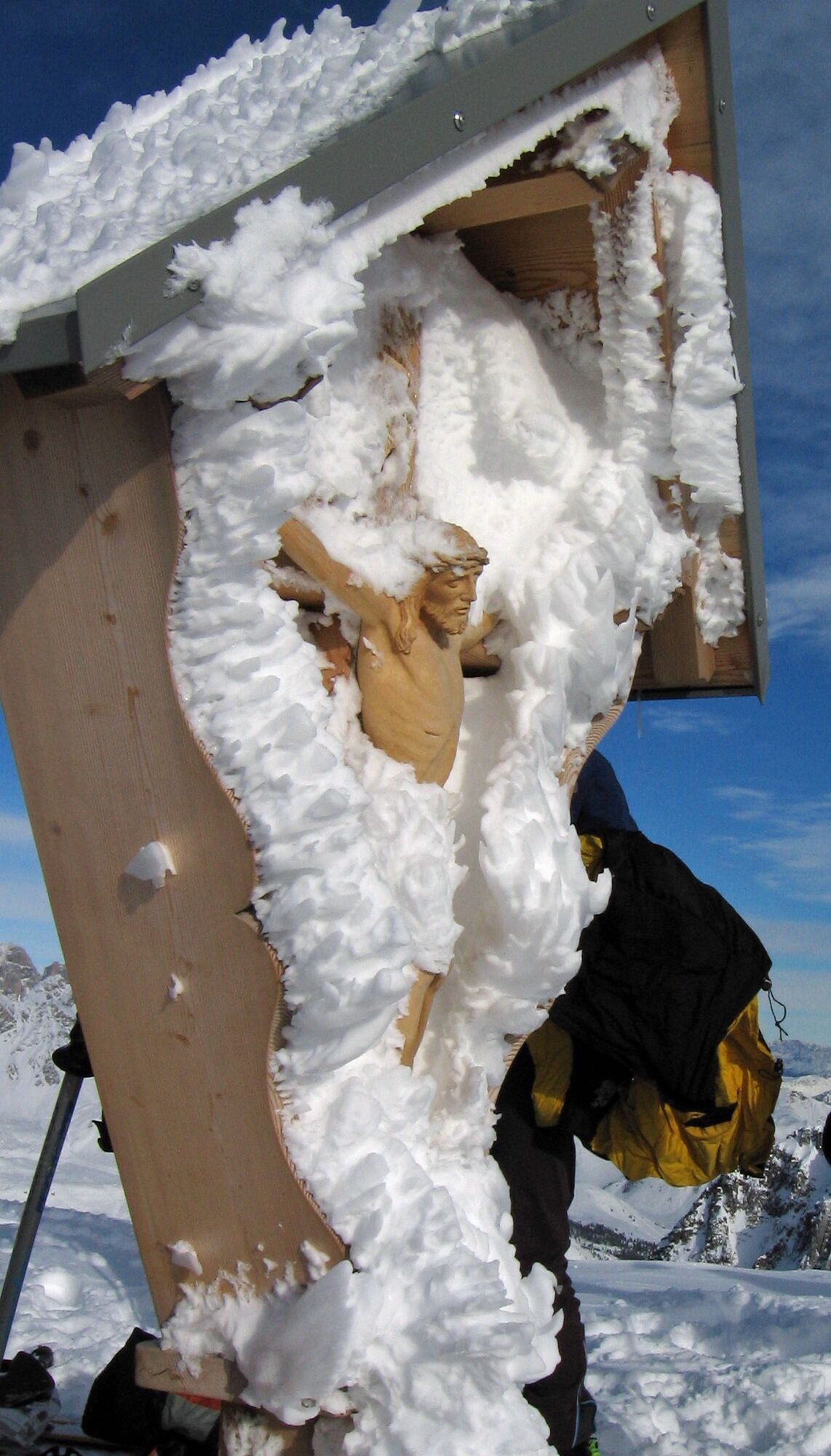
Bocche Peak
Departure into the lush Paneveggio forest, inside the Paneveggio - Pale di San Martino Nature Park. As you come out into the first clearing, you can see Malga Bocche (closed in winter) on the left, perched...
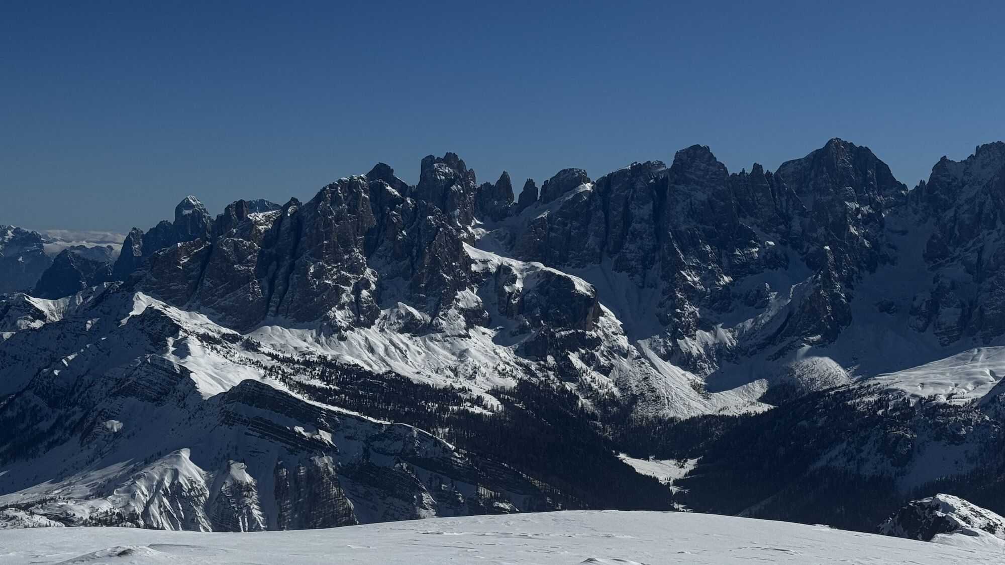
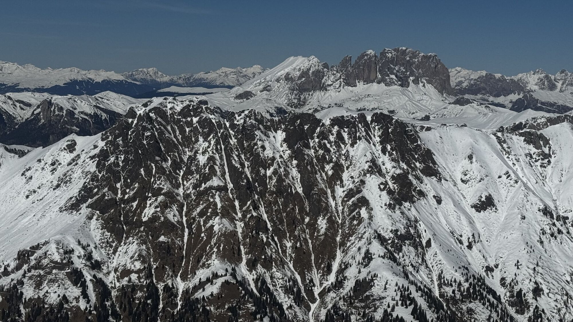
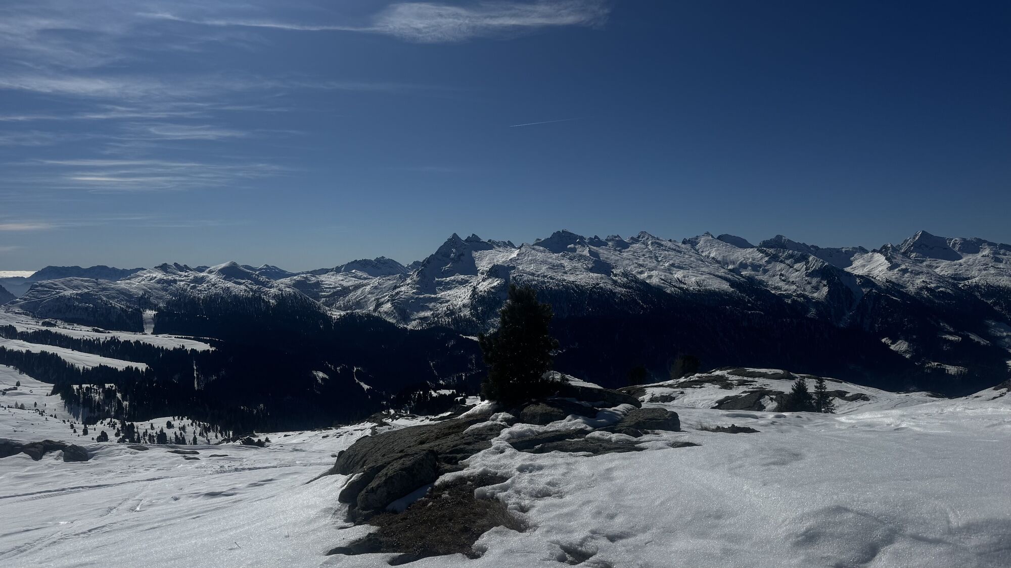
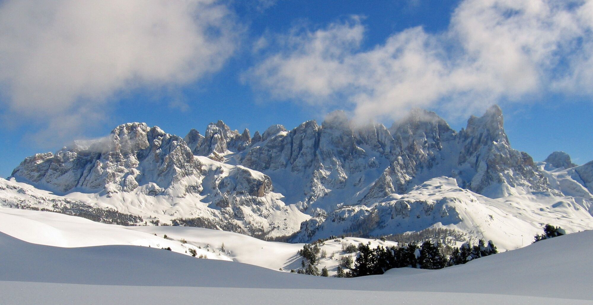
Departure into the lush Paneveggio forest, inside the Paneveggio - Pale di San Martino Nature Park. As you come out into the first clearing, you can see Malga Bocche (closed in winter) on the left, perched on a ridge. Continuing the ascent, the panorama of numerous Dolomite peaks begins to open up.

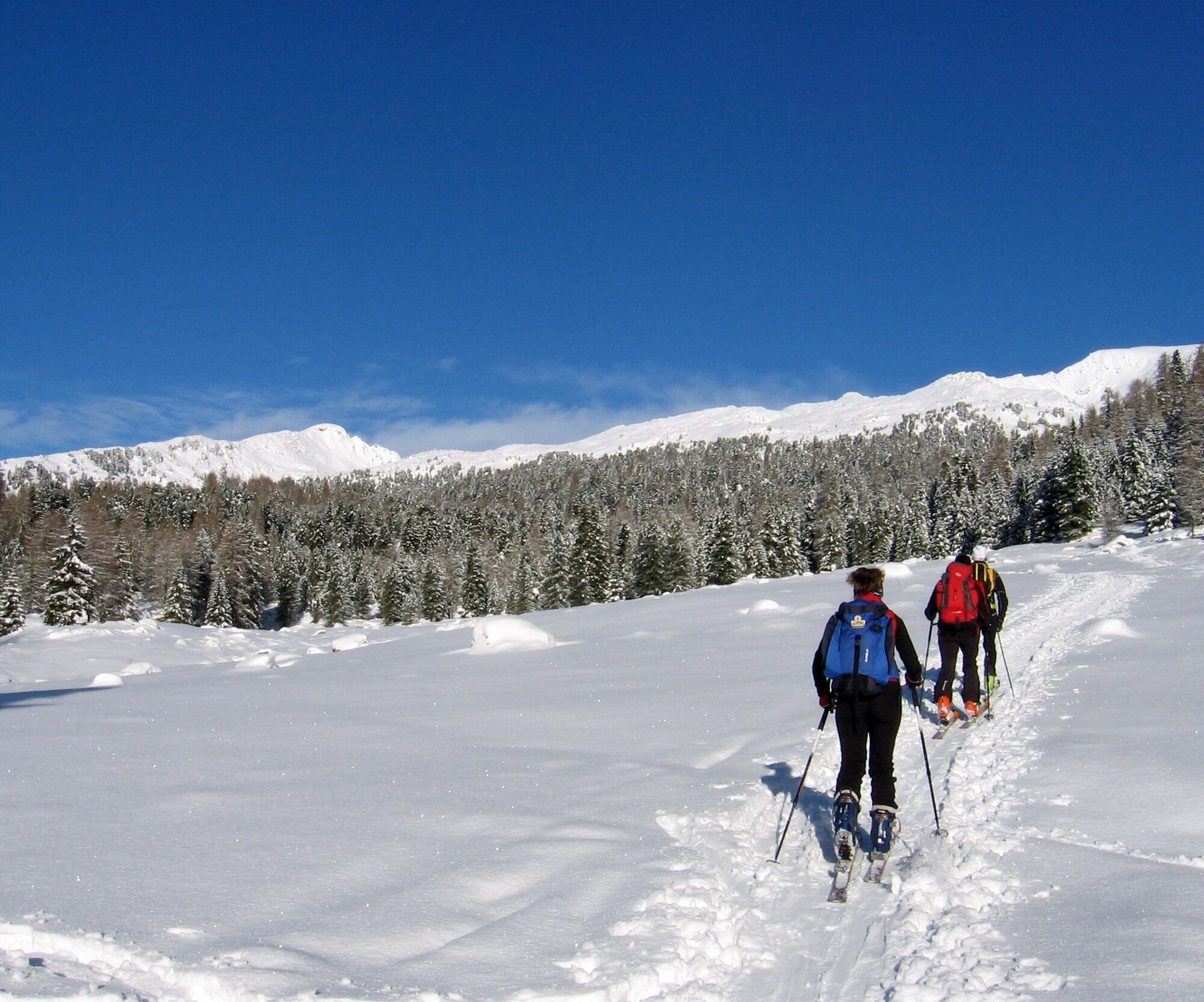
Ascent: from the bridge follow the trail winding up to Malga Juribrutto (1912 m). Ignor the bridge and head up the sparse woodland northwards for a few hundred meters. Then turn left and after a long ascending traverse you reach open terrain. To get out of the forest quicker, take short cuts between rocky terrain and large trees.
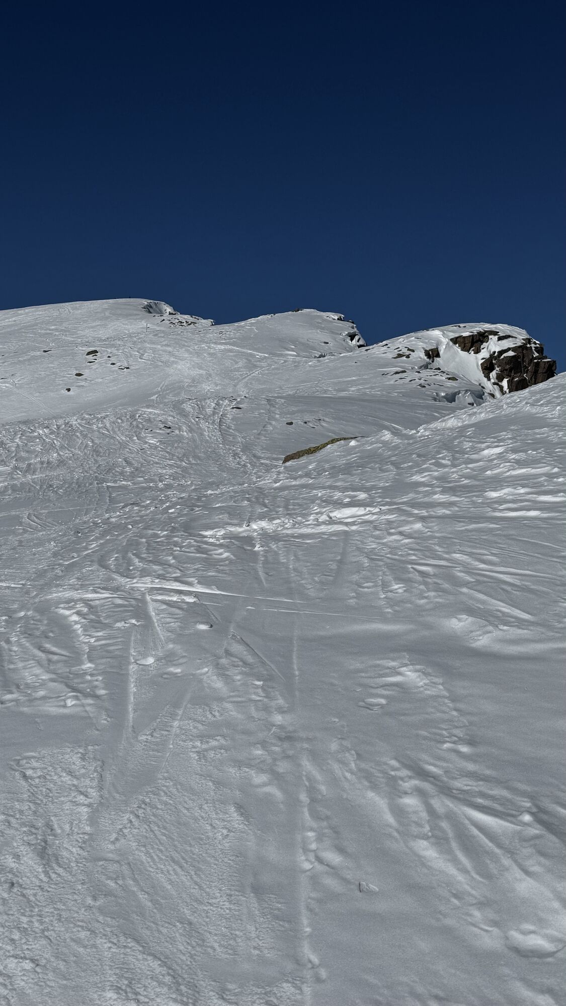
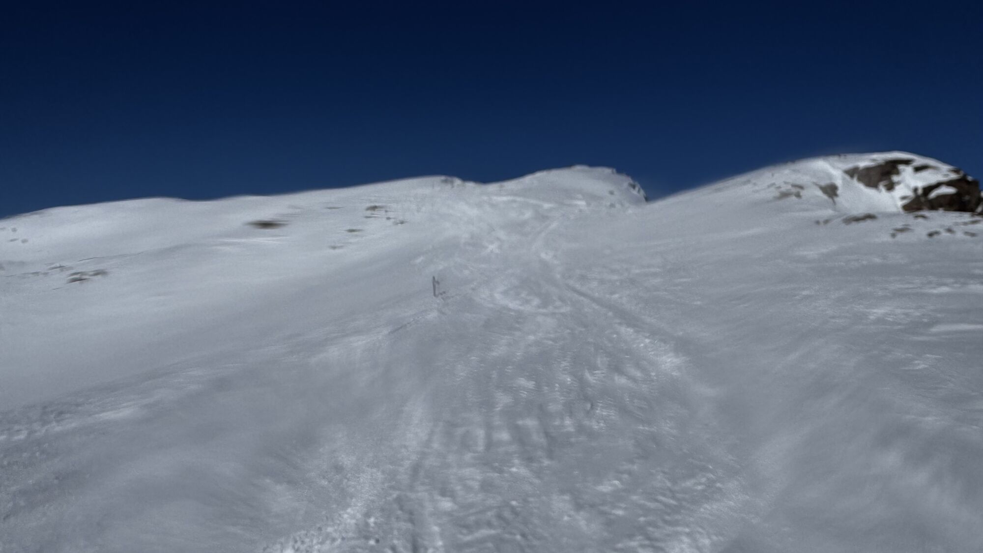
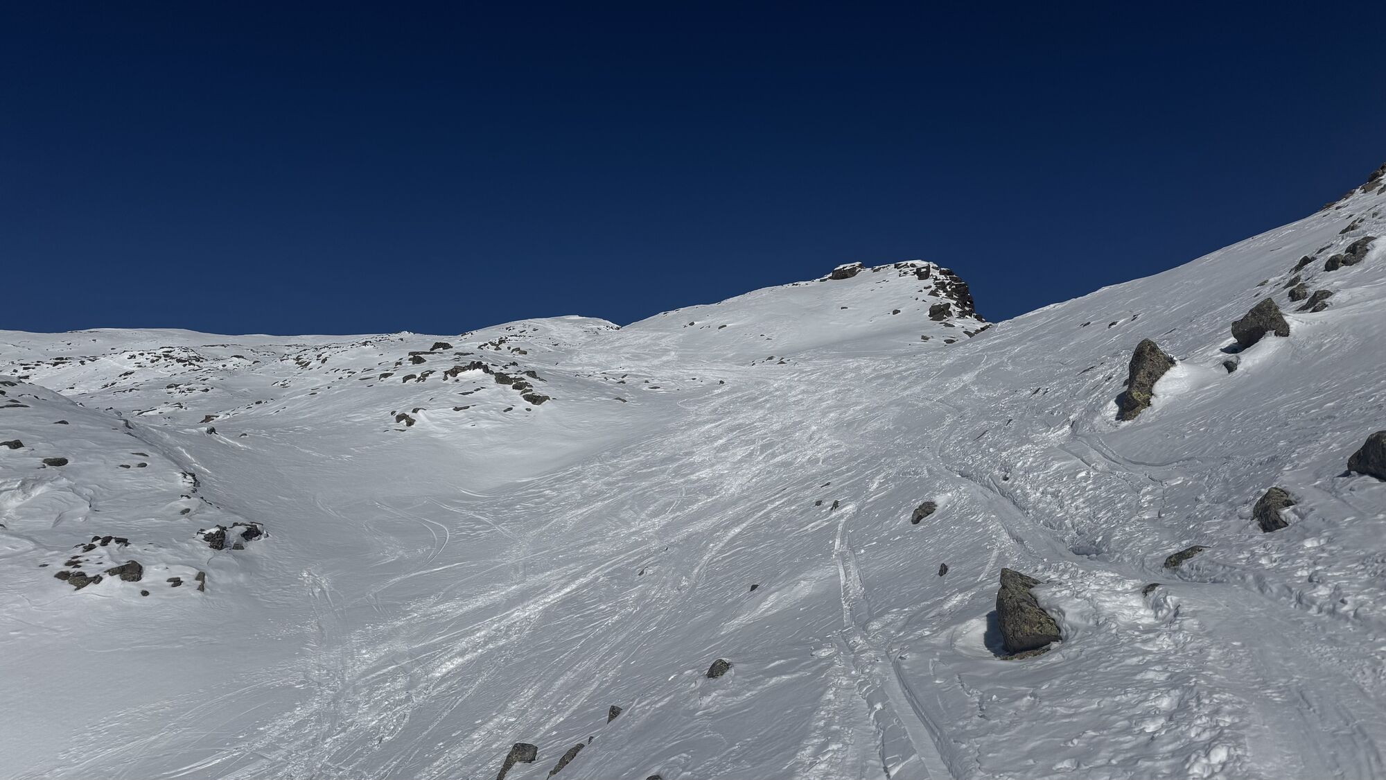
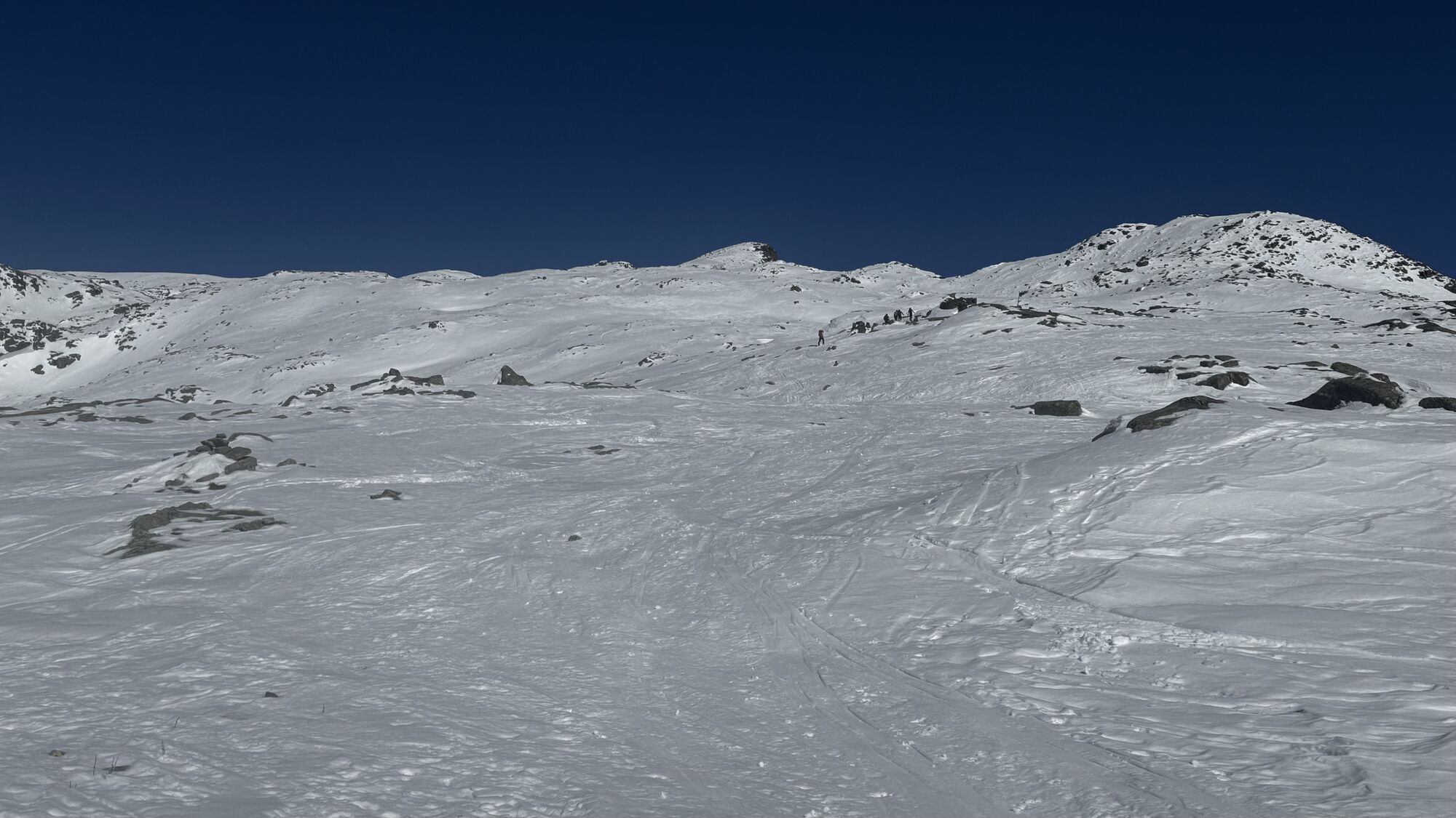
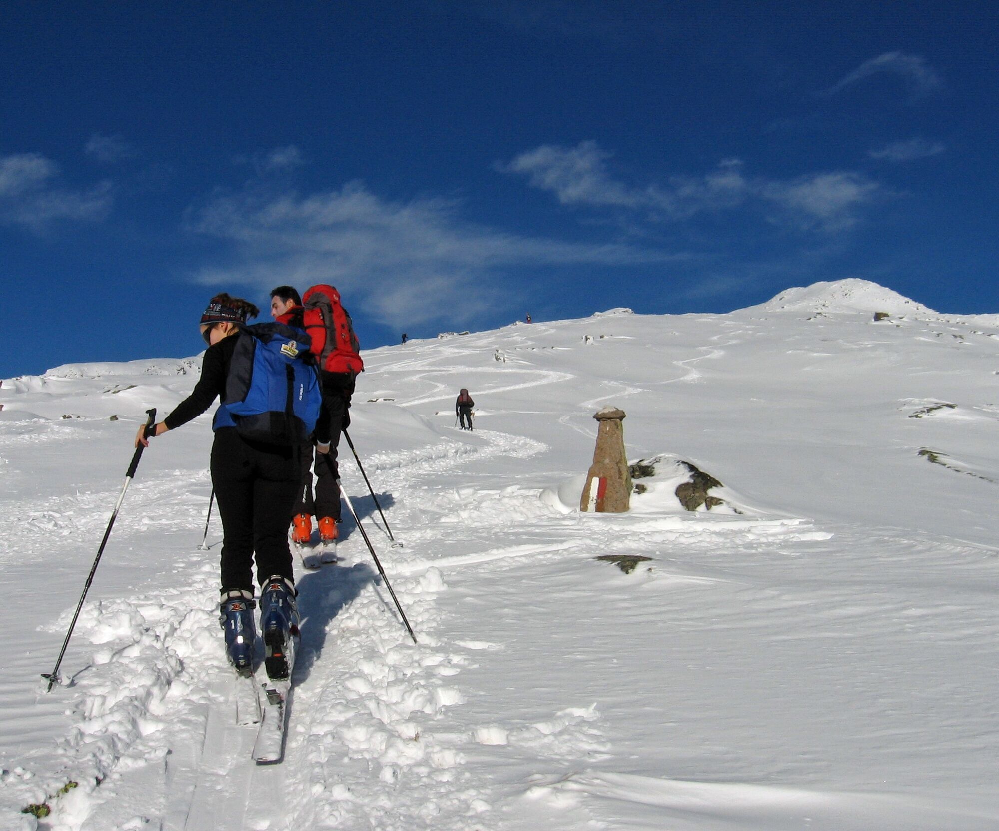
Continue to the top on flat stretches interrupted by steeper slopes, always following the broad ridge up to the right. Some steeper sections or rocky ledges are bypassed left, then always return near the ridge. The final stretch is flat and leads to the small summit cross.
Below the summit, at about 2700 m, you find a small shelter for a rest.
Descent: by the same route
Áno
Áno
Normal equipment for ski touring
Due to the southern exposure, we recommend to choose the tour right after a light snowfall or on transformed snow, in order to enjoy a nice downhill.
THE 10 RULES FOR HIKERS
Prepare your itinerary beforehand Choose an itinerary that suits your physical abilities Choose suitable clothes and equipment Check the weather forecast Hiking by yourself is more risky; if this is the case, take a mobile phone with you Leave information about your itinerary and your expected return time If you are not sure about your itinerary, contact an Alpine Guide Pay attention to signposts and directions that you find along your way Do not hesitate in going back if you feel too tired In case of emergency call 112Please note that the practicability of the itineraries in a mountain environment is strictly linked to the contingent conditions and is therefore influenced by natural phenomena, environmental changes and weather conditions. For this reason, the information contained in this page may have changed. Before leaving for a tour, make sure the path you will approach is still accessible by contacting the owner of the mountain hut, the alpine guides or the visitor centres of the nature parks, the info offices of the local tourist board.
From Predazzo drive on SS 50 direction Passo Rolle. Shortly after location Paneveggio (13,8 km from Predazzo) turn left on SP 81 to Passo Valles. After 4 km you reach the bridge (way mark Malga Juribrutto-Lago Juribrutto).
Some parking areas along the street
Webové kamery z prehliadky
-
Marmolada
-
Col Margherita
-
Col Margherita
-
Col Margherita
-
Falcade
-
Le Buse
-
Le Buse
-
Le Buse
-
Costabella
-
Costabella
-
Costabella
-
Costabella
-
Costabella
-
Arrivo funivia col Margherita
-
Lago Cavia
-
Seggiovia Lago cavia Col Margherita
-
Col Margherita
-
Col Margherita
-
Col Margherita
-
Col Margherita
-
Castelir
-
Castelir
-
Castelir
-
Castelir
-
Castelir
-
Castelir
-
Passo Rolle
-
Moena - San Pellegrino Pass / Chalet Isabella
-
Col Margherita Sud
-
Col Margherita Sud
-
Col Margherita Sud
Obľúbené výlety v okolí
-
4,7
Passo Costalunga - Sella del Ciampaz
strednáTuristika 8,35 km -
4,5
Kölner Hütte - Hirzelsteig - Rotwandhütte - Baita Tre - Karerpass
strednáTuristika 9,56 km -
4,4
Cavallazza Peak
strednáTuristika 7,82 km -
5,0
Rosengarten: Cigoladepass und Fassaner Höhenweg
strednáTuristika 15,6 km -
4,8
Latemar Tour - Tour 930
strednáMountainbike 37,4 km -
4,5
San Pellegrino Pass - Fuciade - Val Fredda - Malga Boer - San Pellegrino Pass
strednáTuristika 11,1 km -
4,2
The three lakes
strednáTuristika 11,1 km -
2,0
The amazing Val Venegia
strednáTuristika 12,3 km -
5,0
San Pellegrino Pass - Fuciade - San Pellegrino Pass
strednáTuristika 6,83 km -
4,7
Costazza Peak from Val Venegia
strednáSnežnice 8,58 km

Turistika a stopovanie


Nenechajte si ujsť ponuky a inšpiráciu na ďalšiu dovolenku
Vaša e-mailová adresa bol pridaný do poštového zoznamu.