





Ponale - Larici - Rocchetta
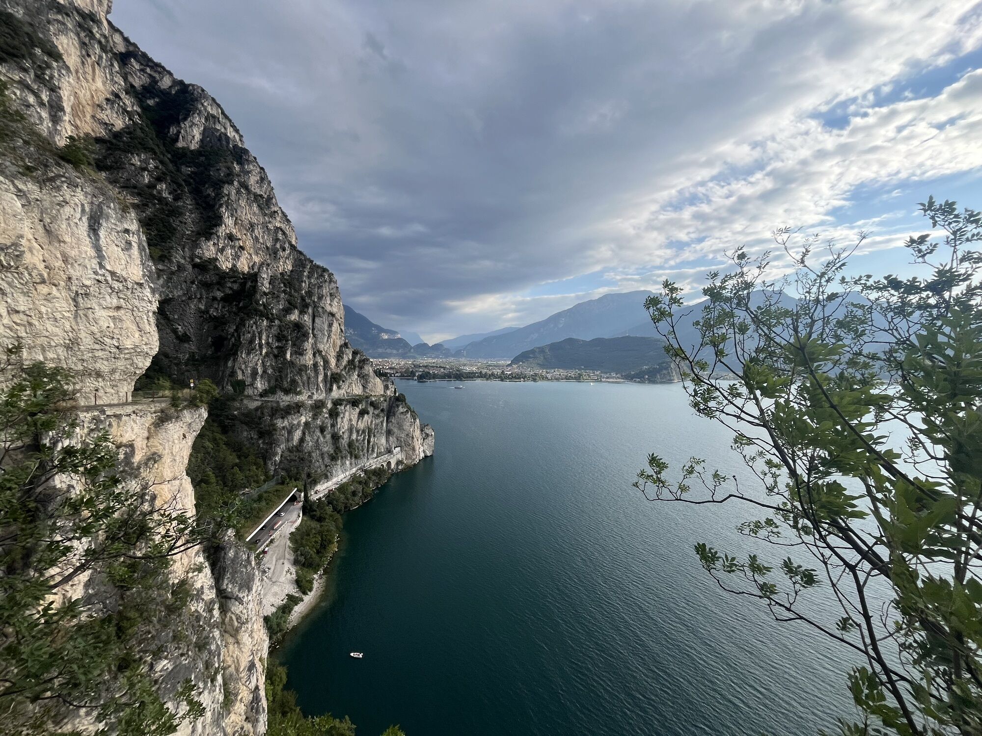
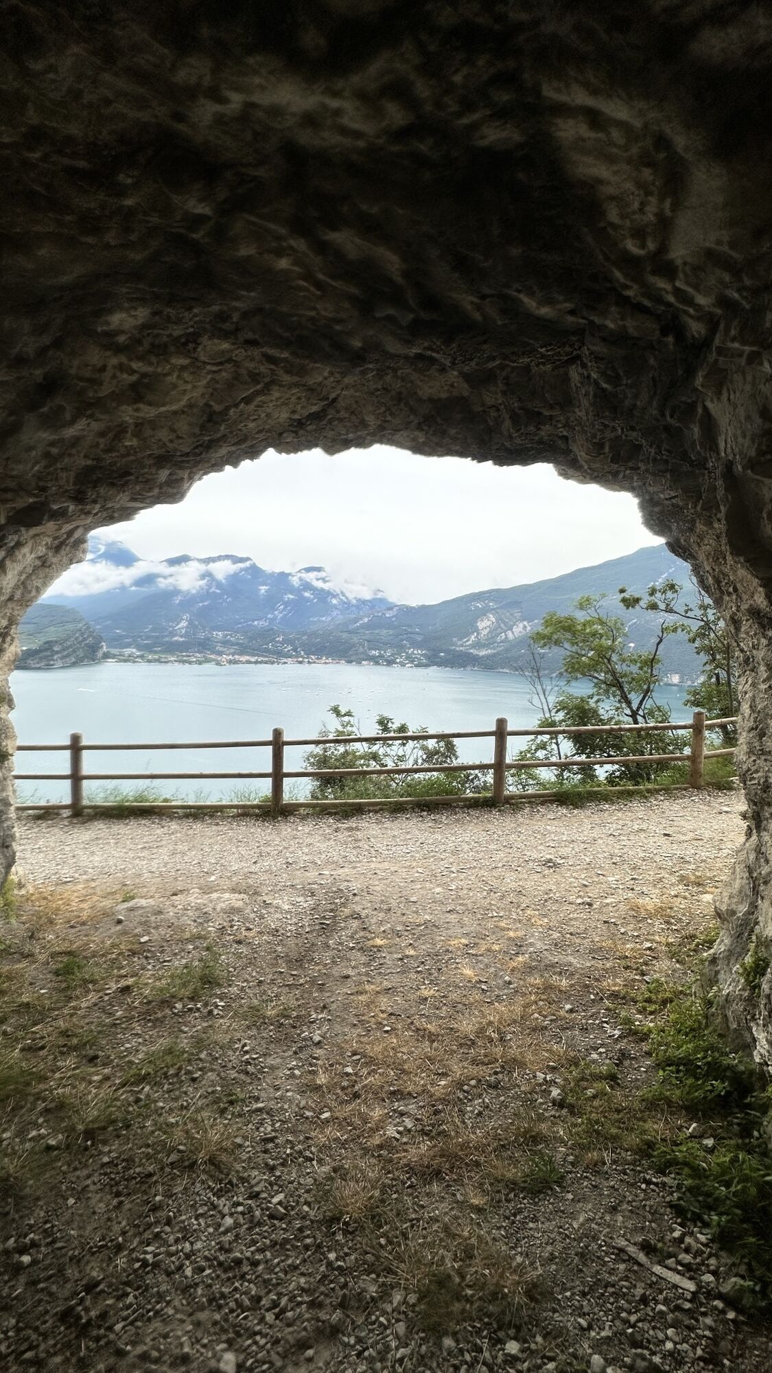
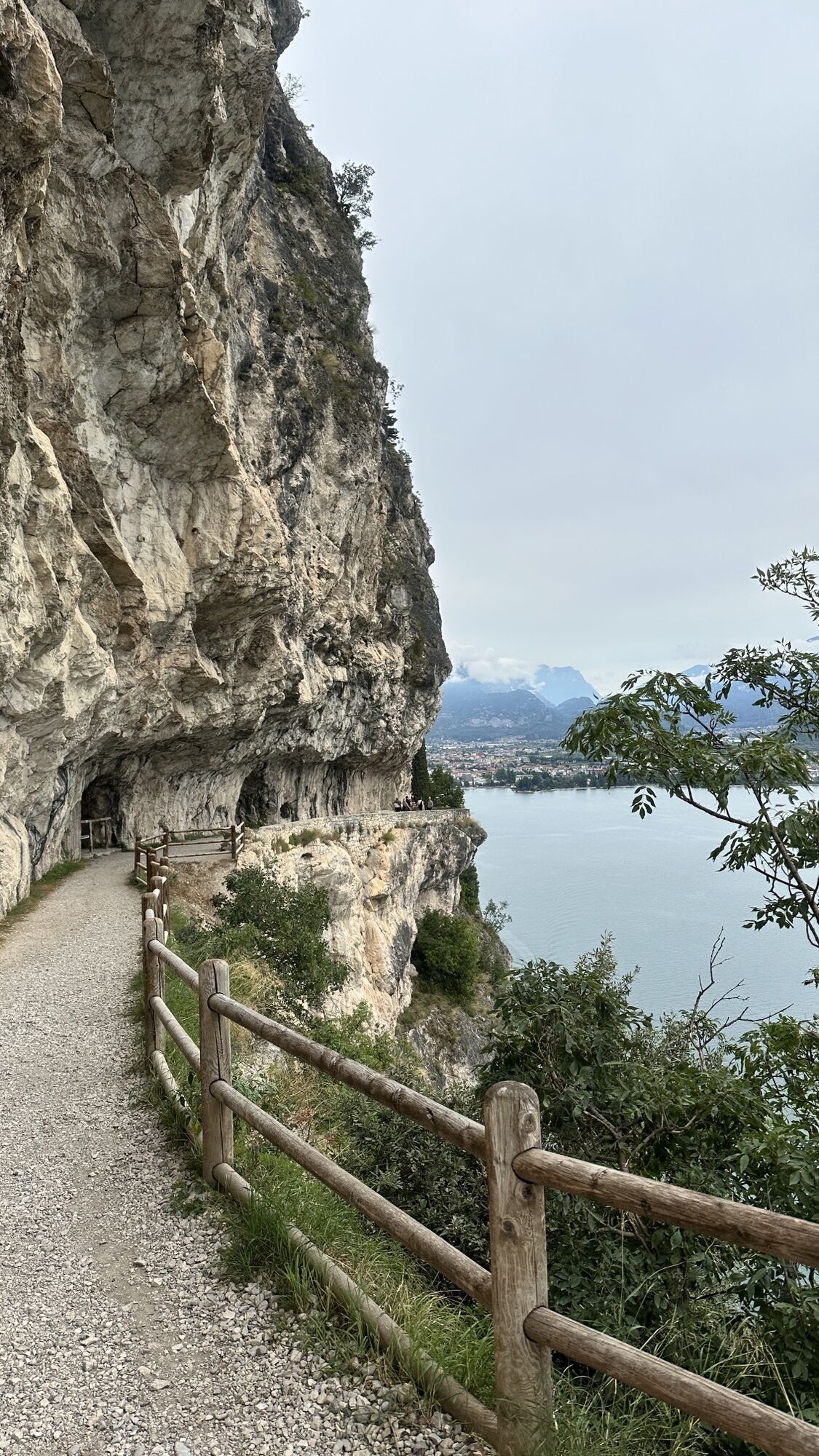
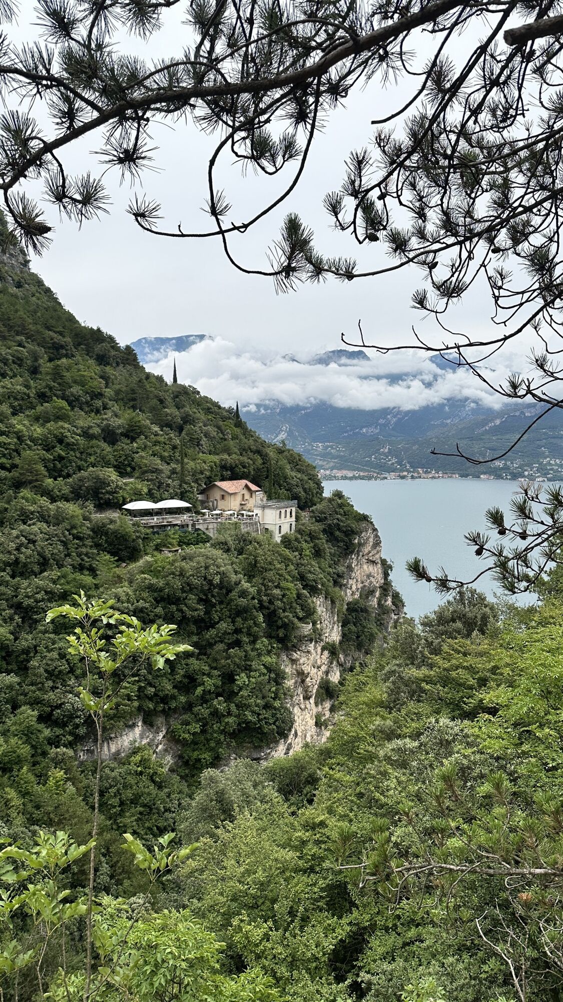
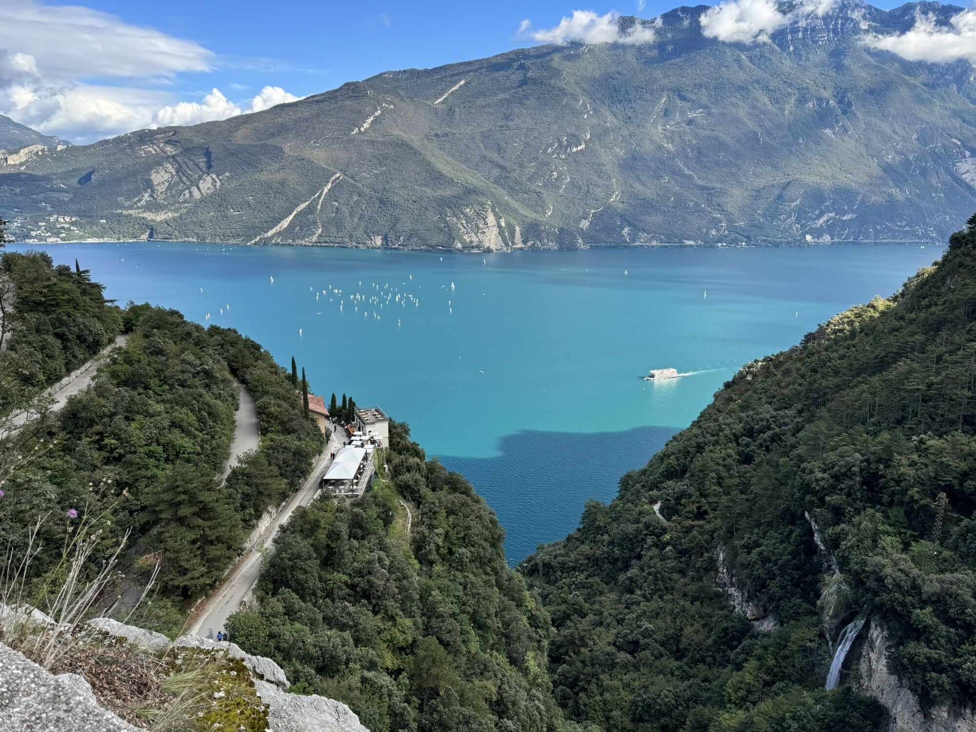
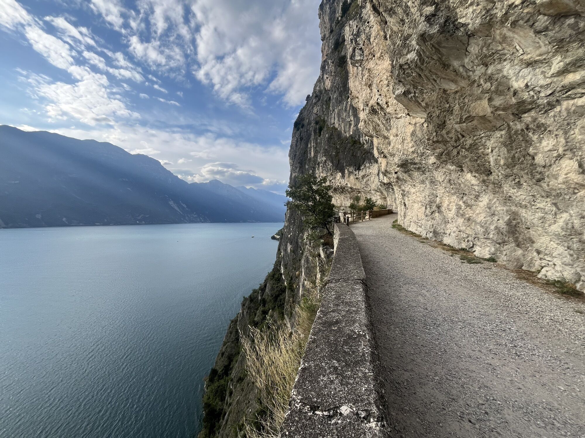
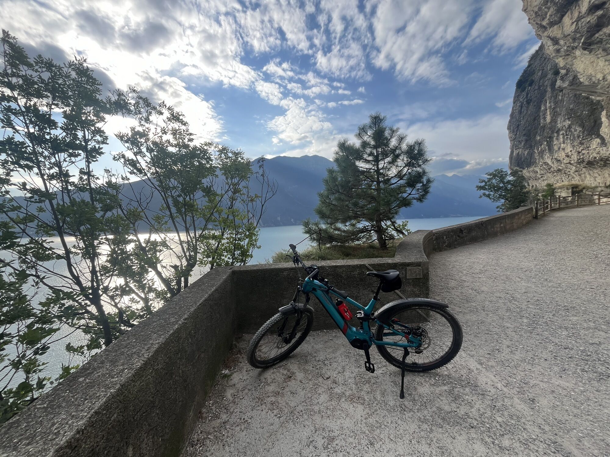
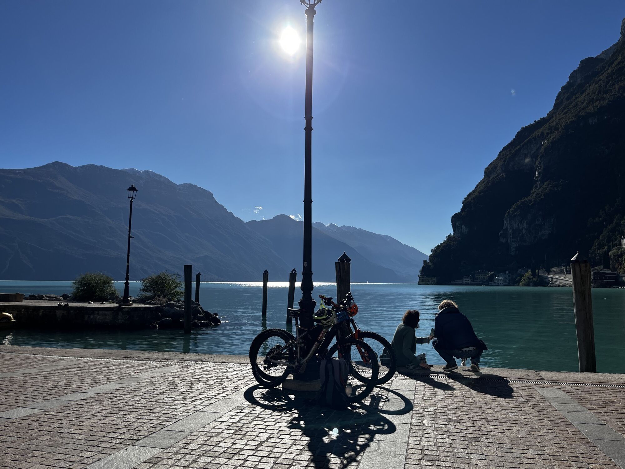
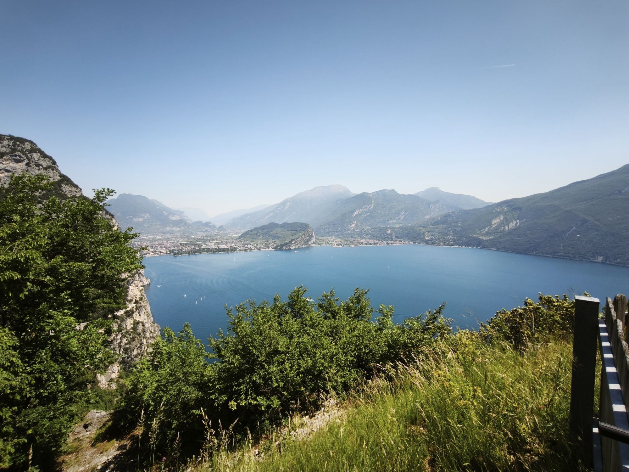
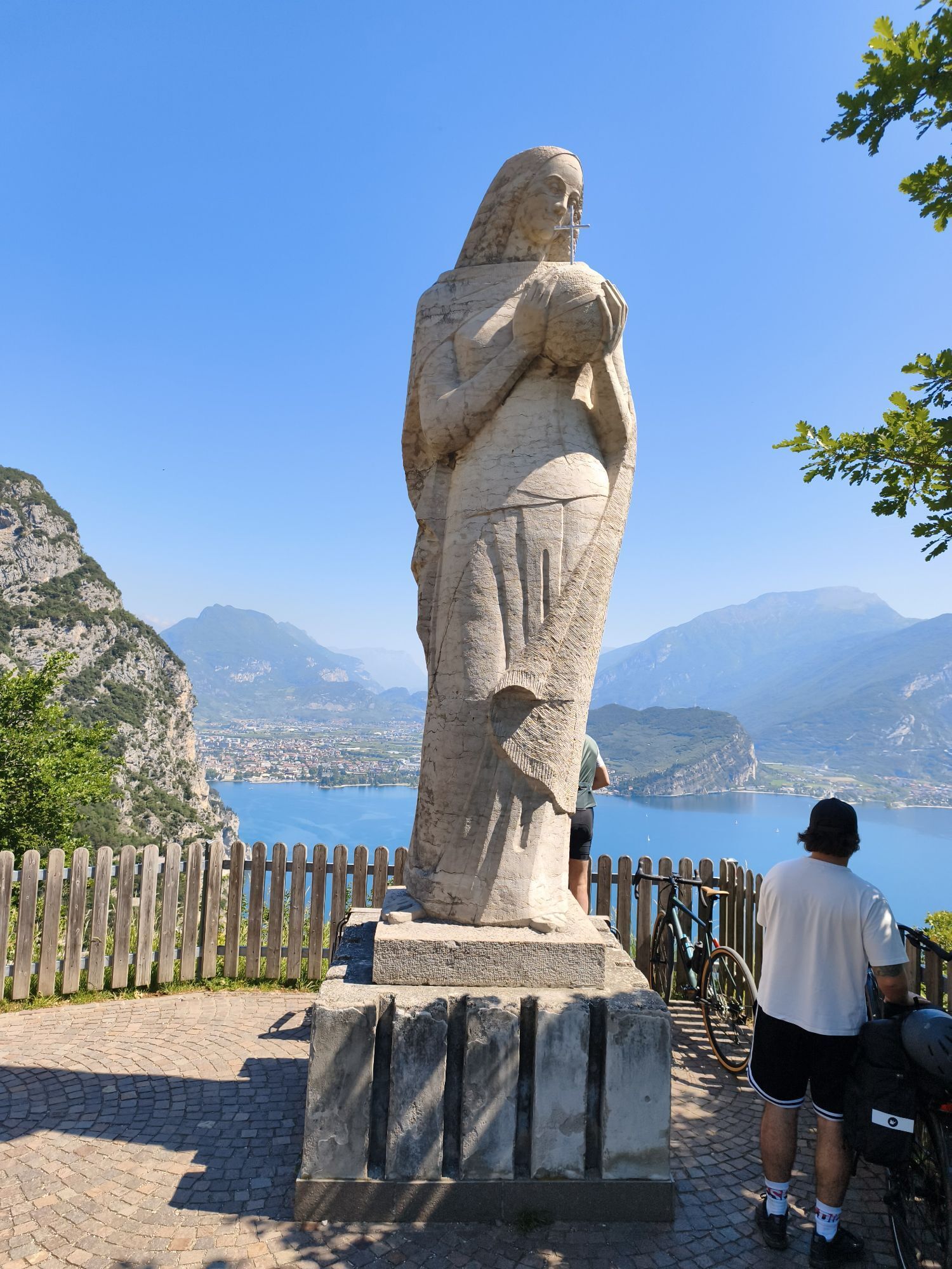
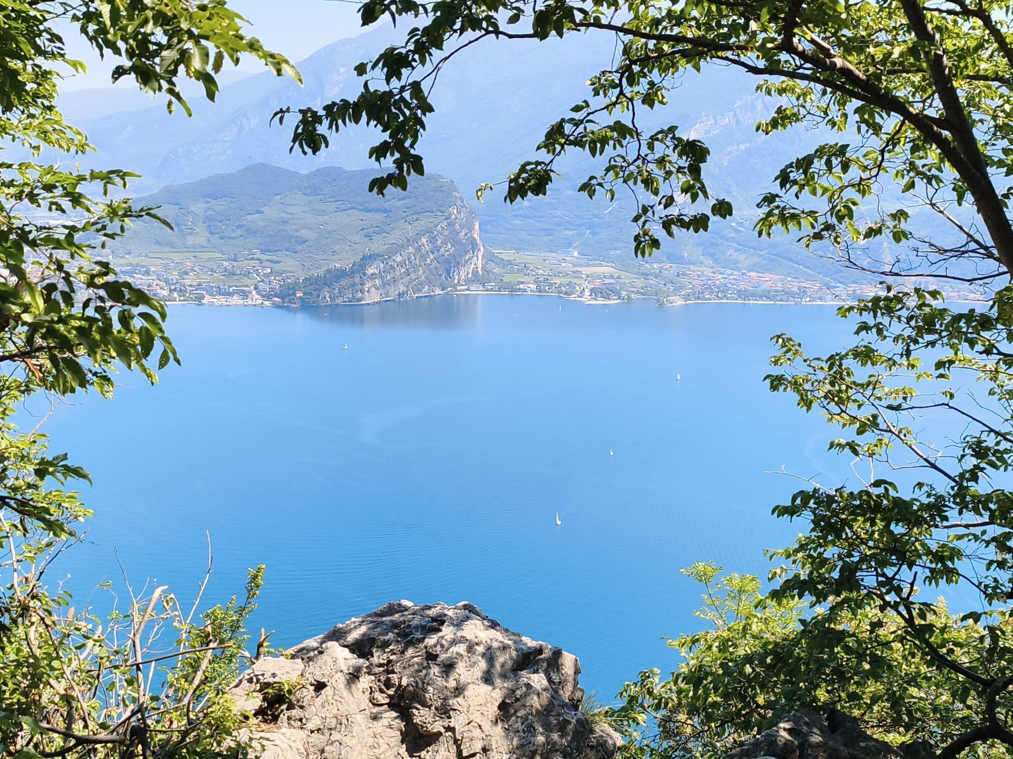
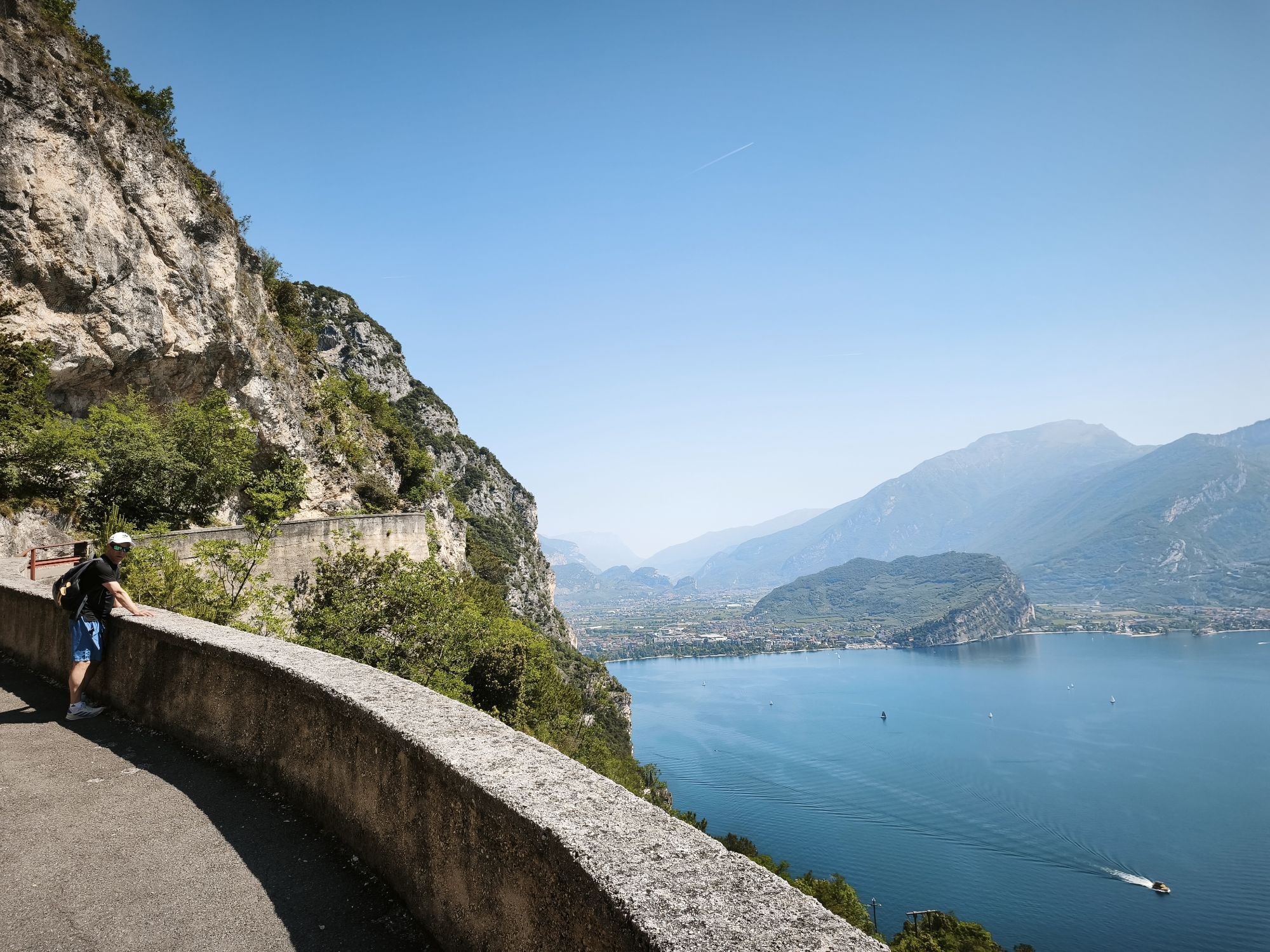
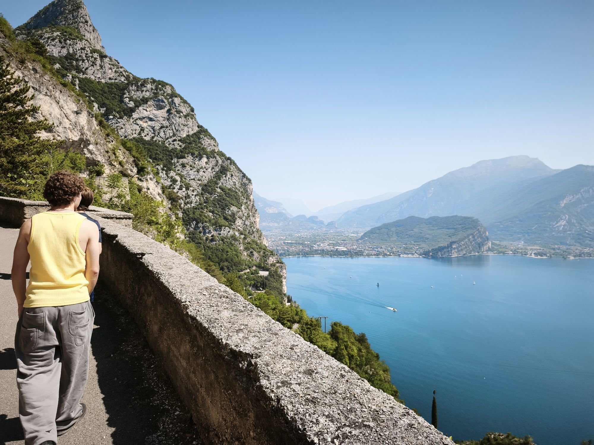
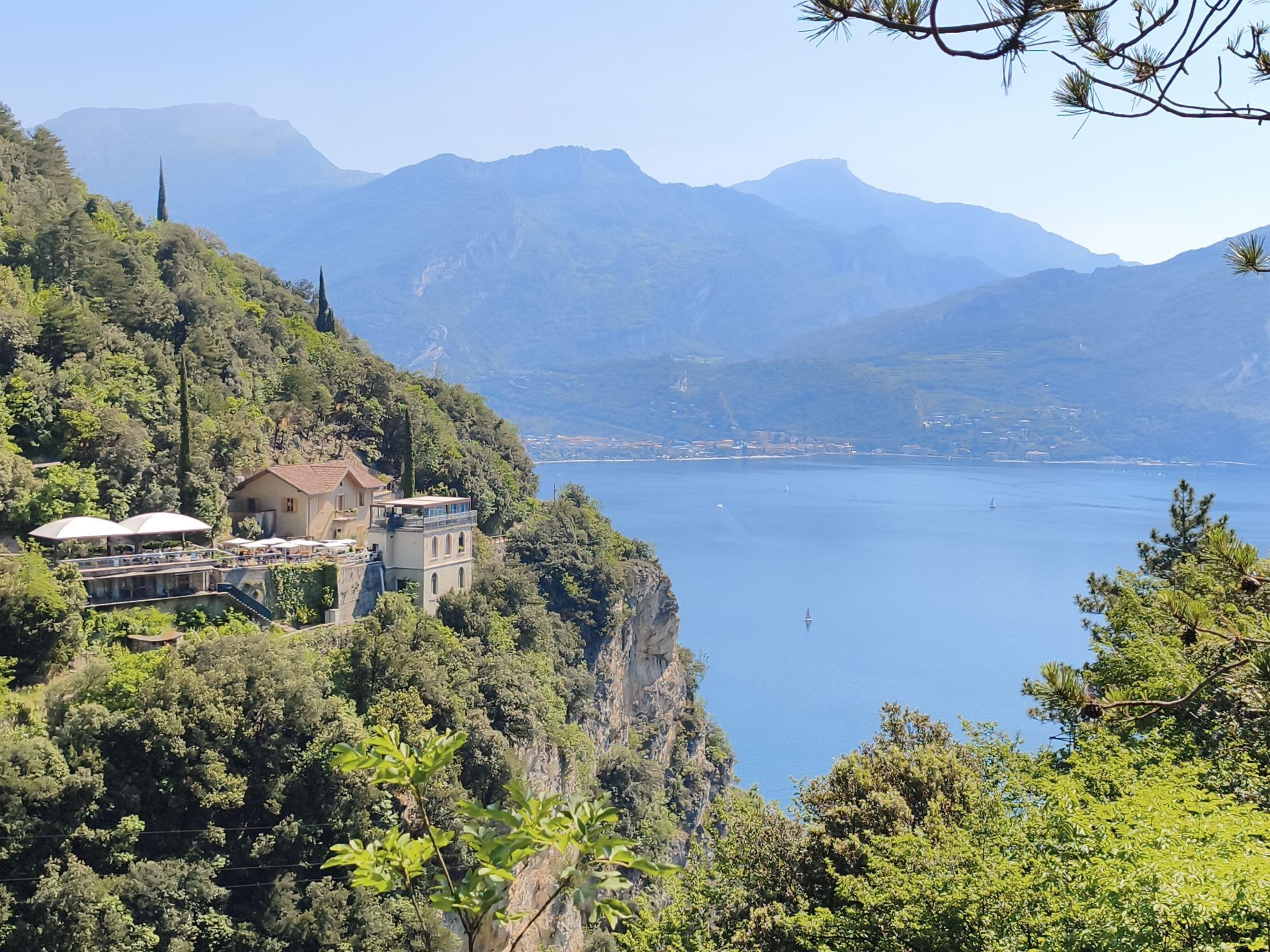
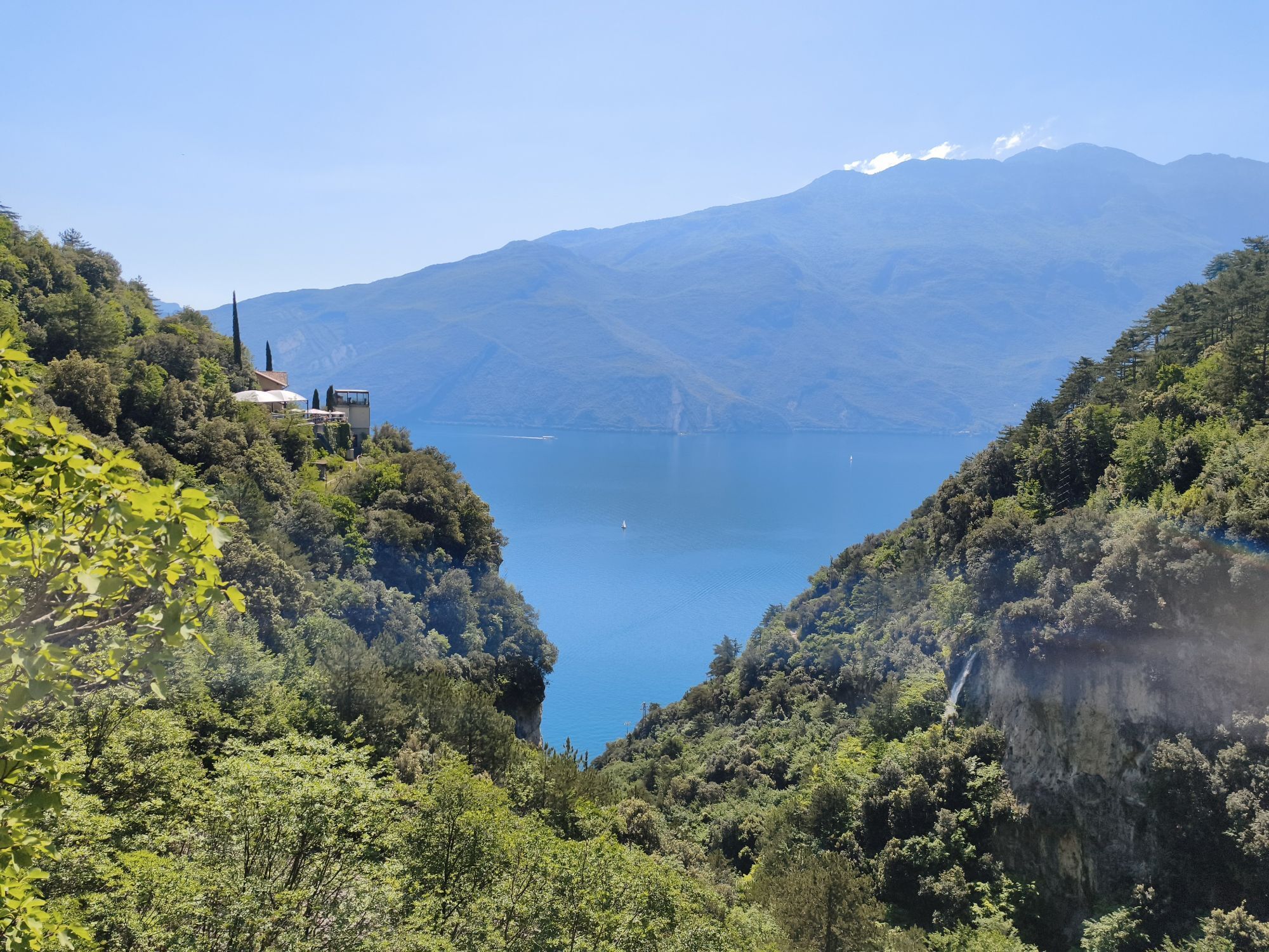
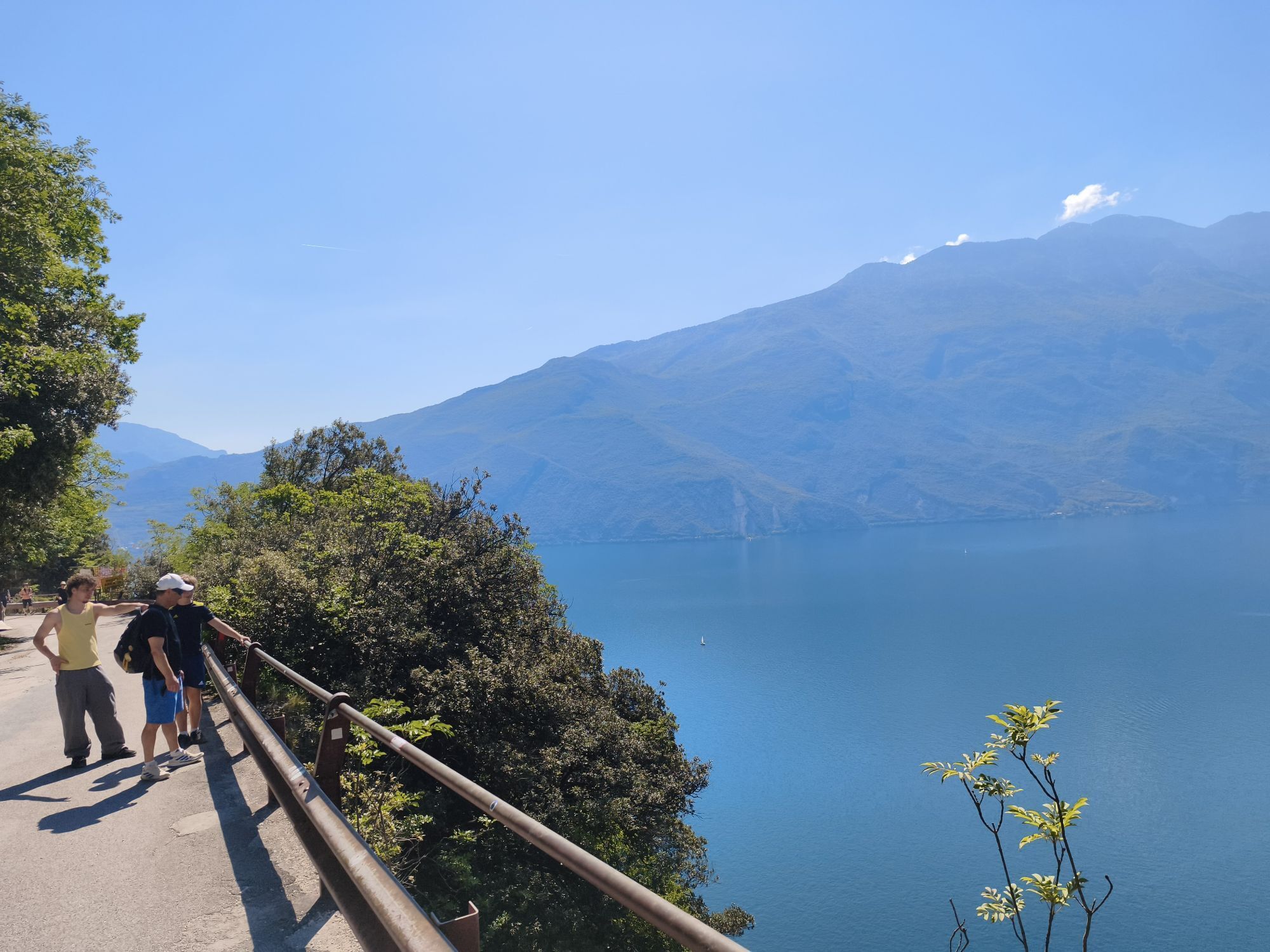
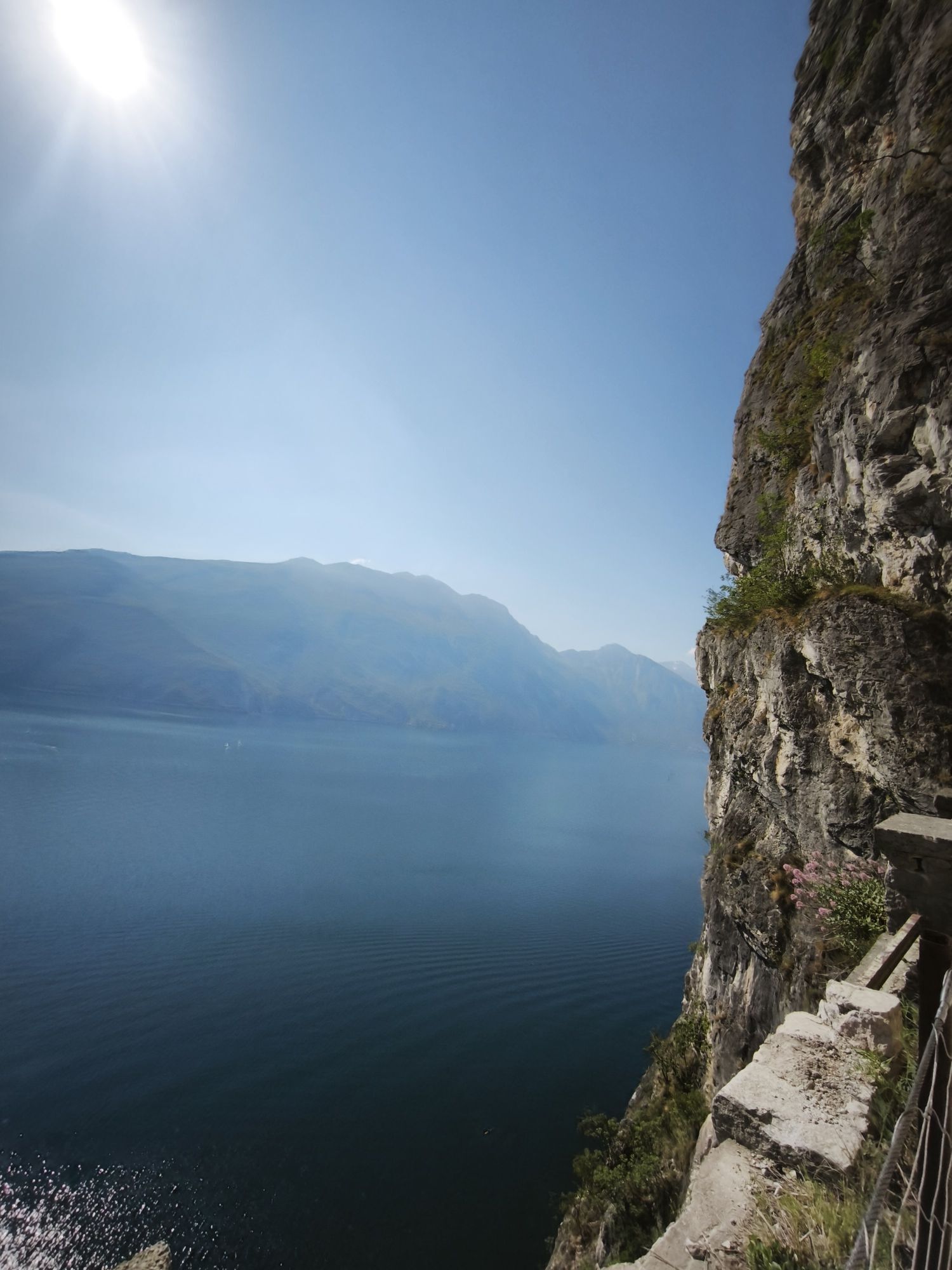
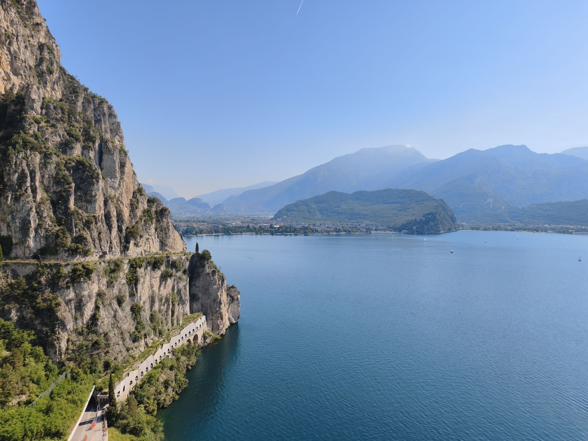
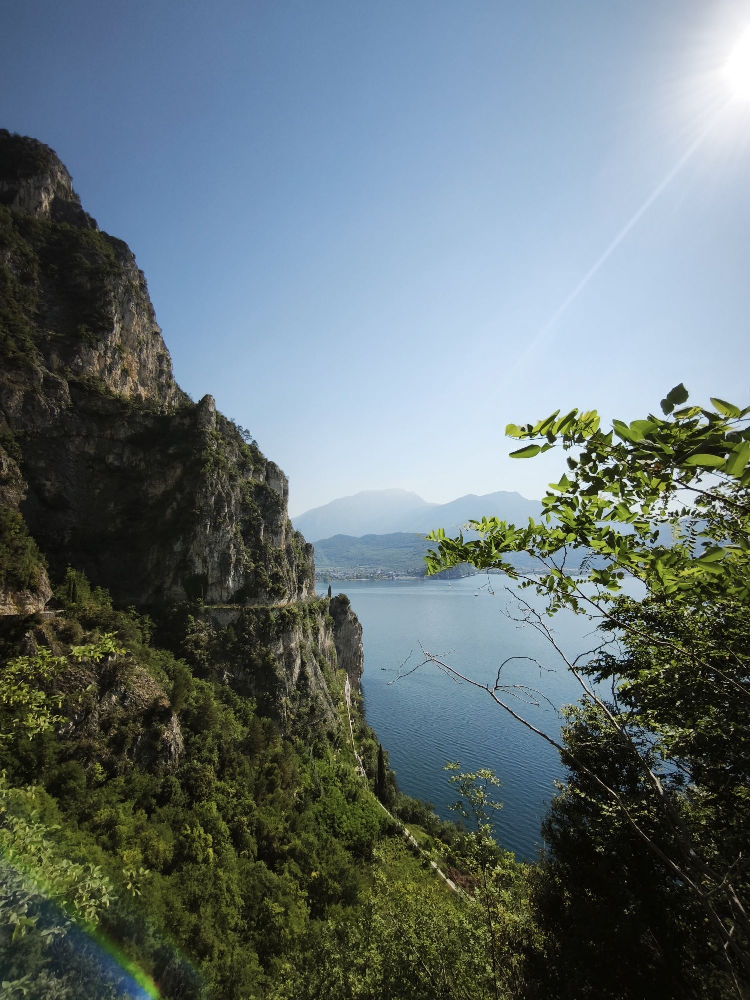
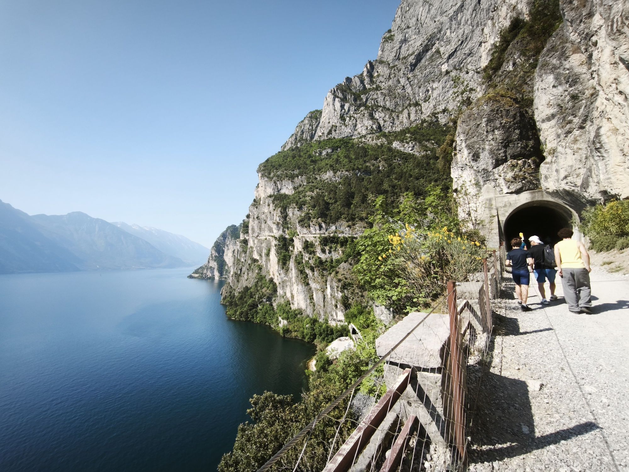
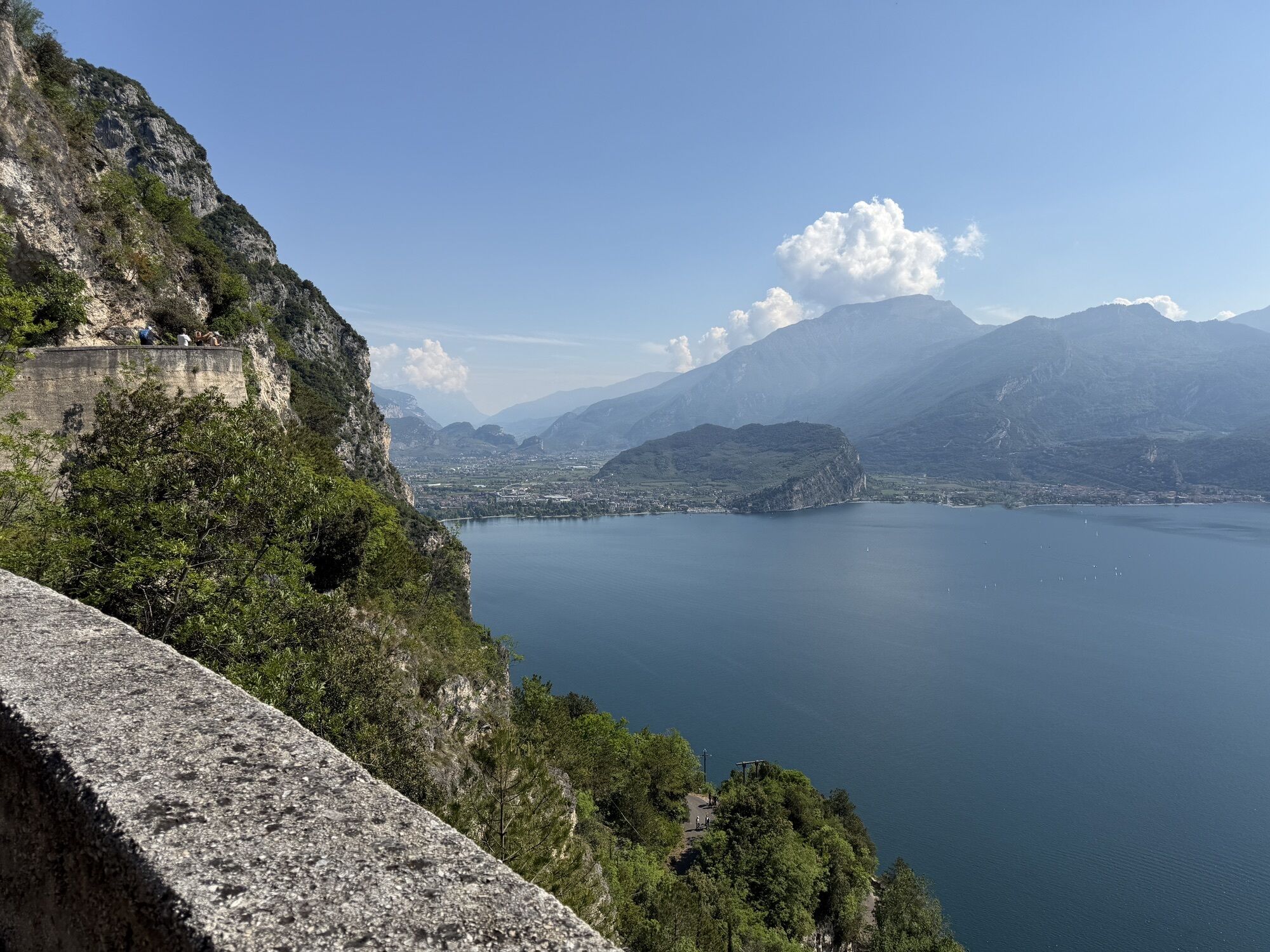
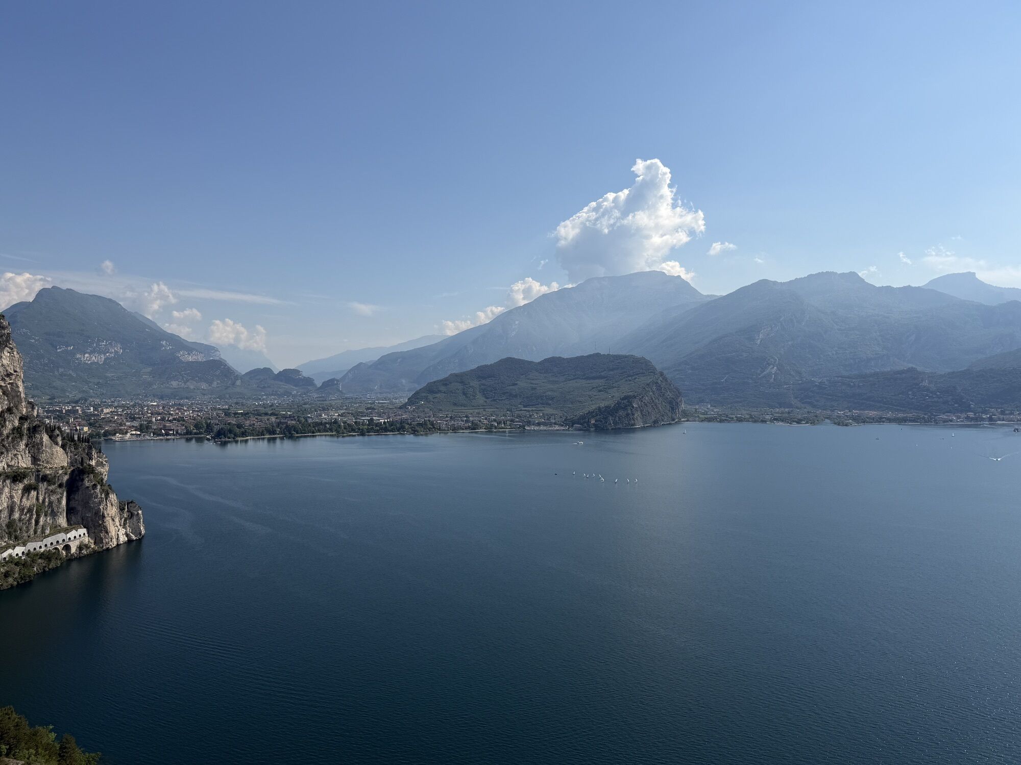
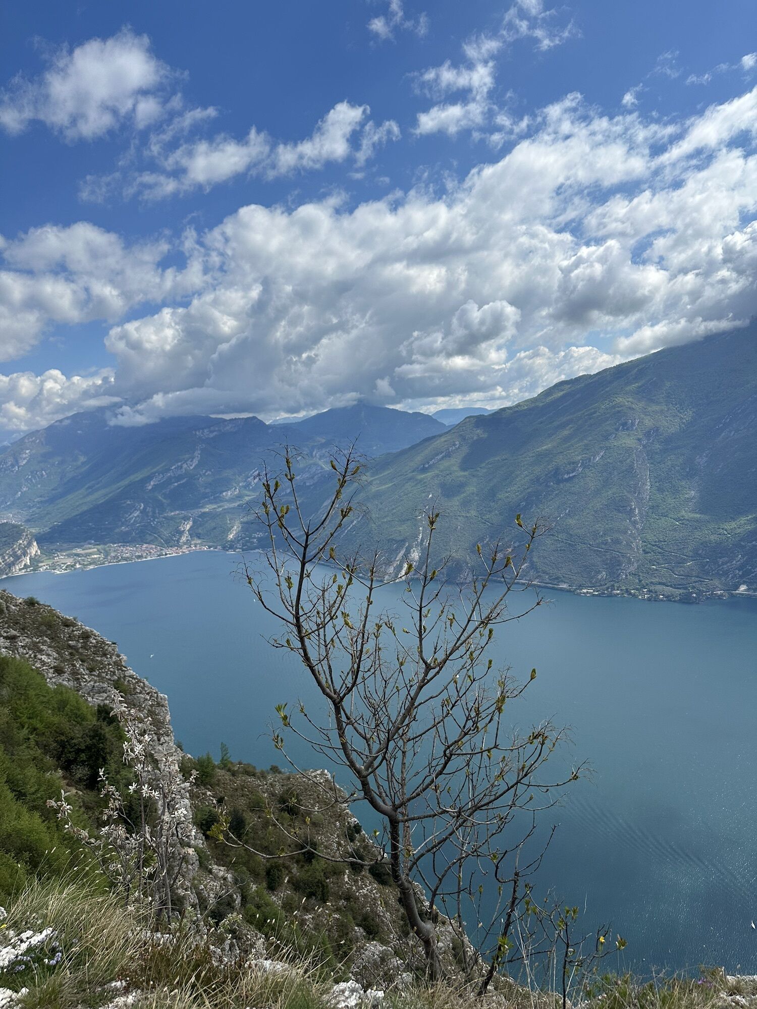
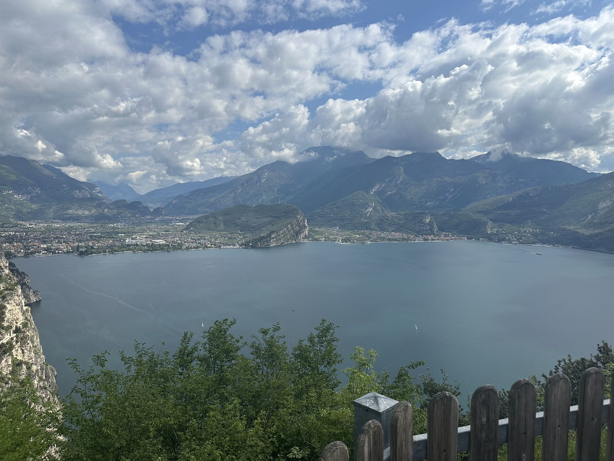
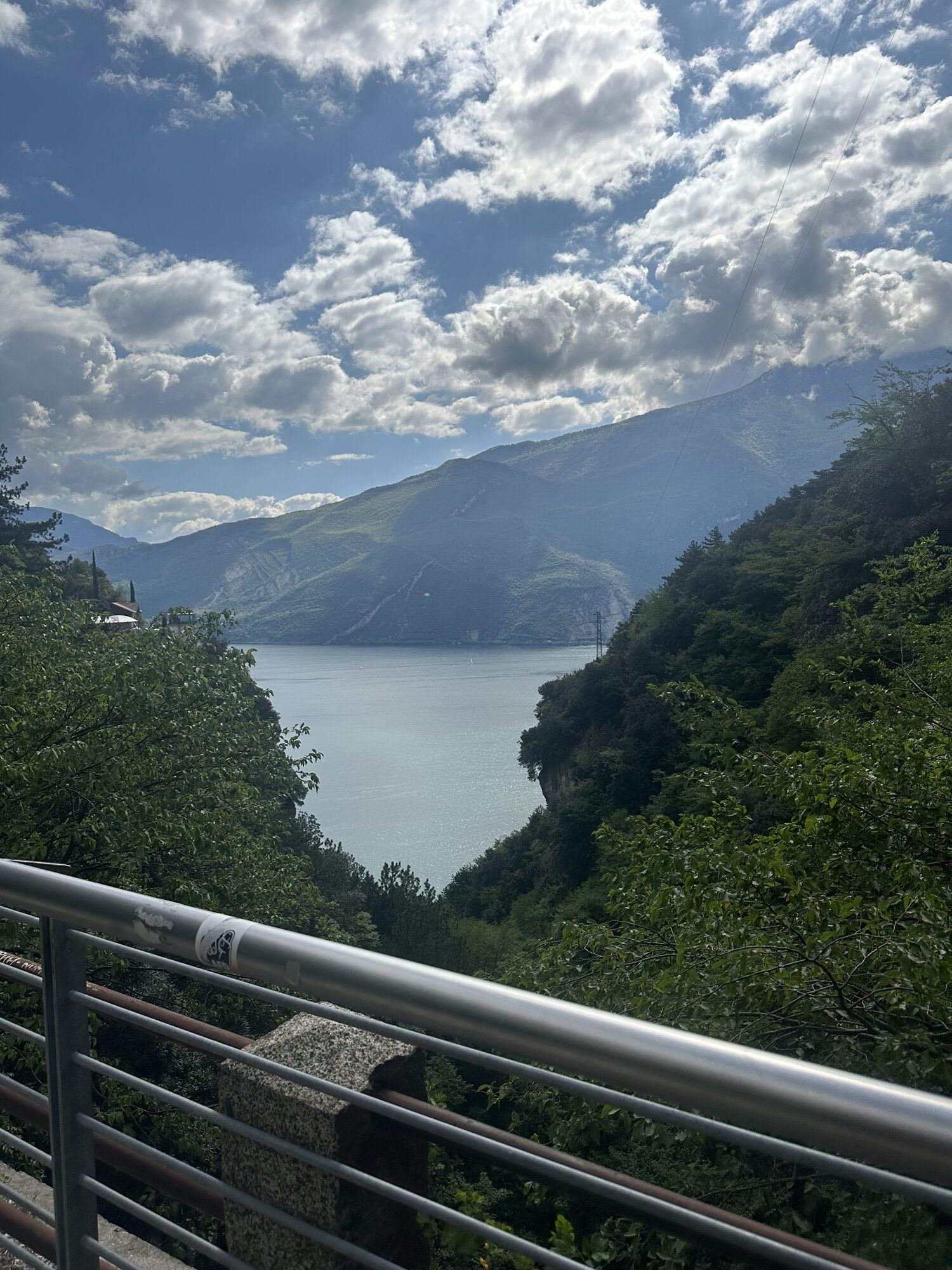
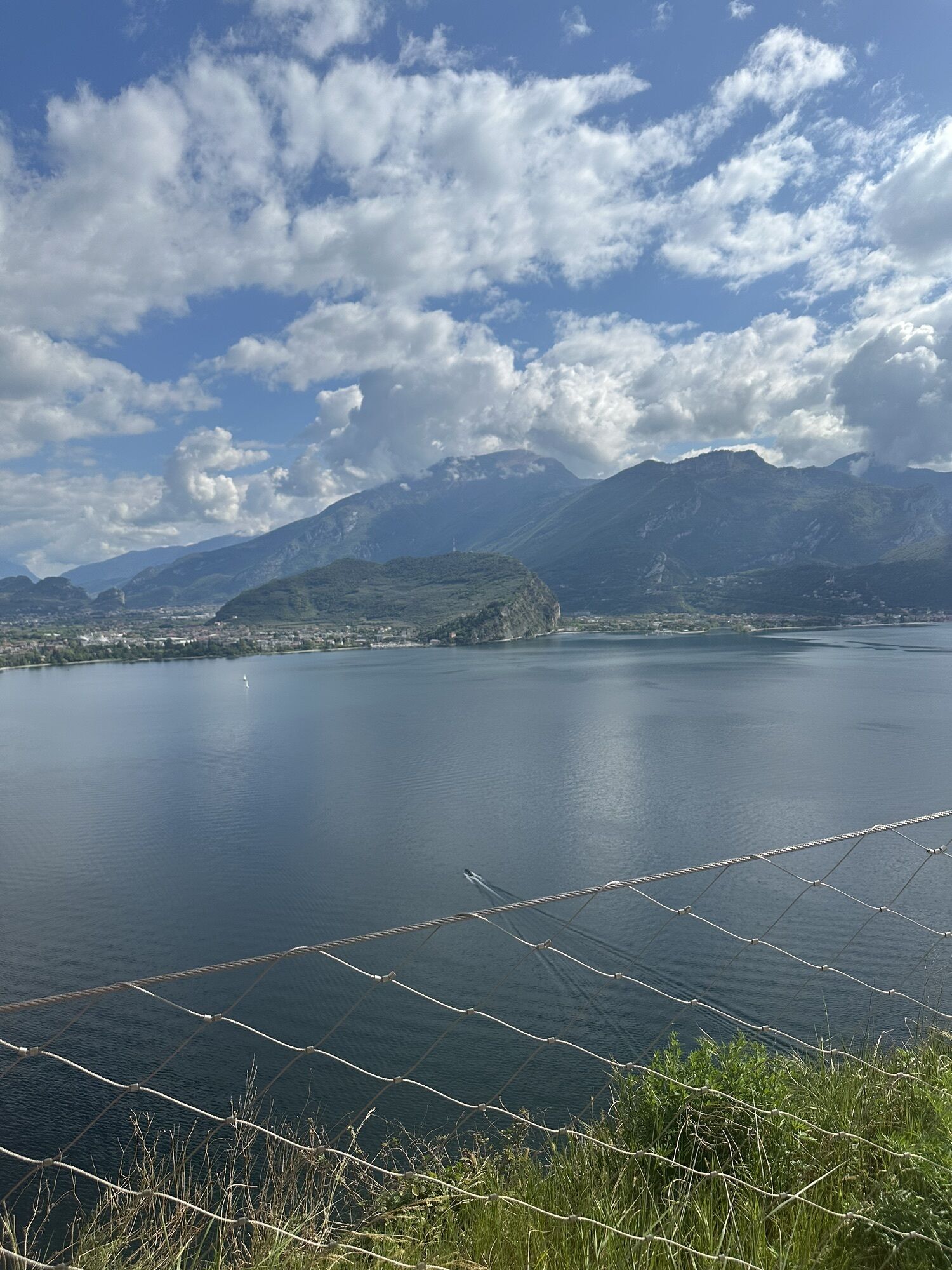
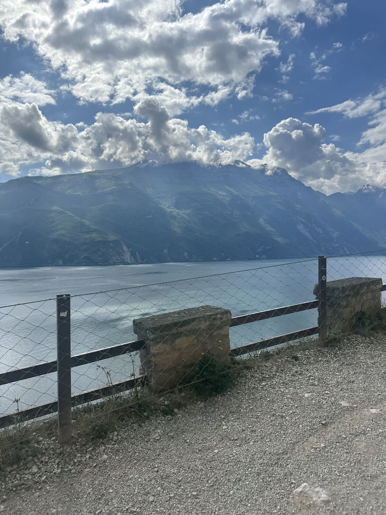
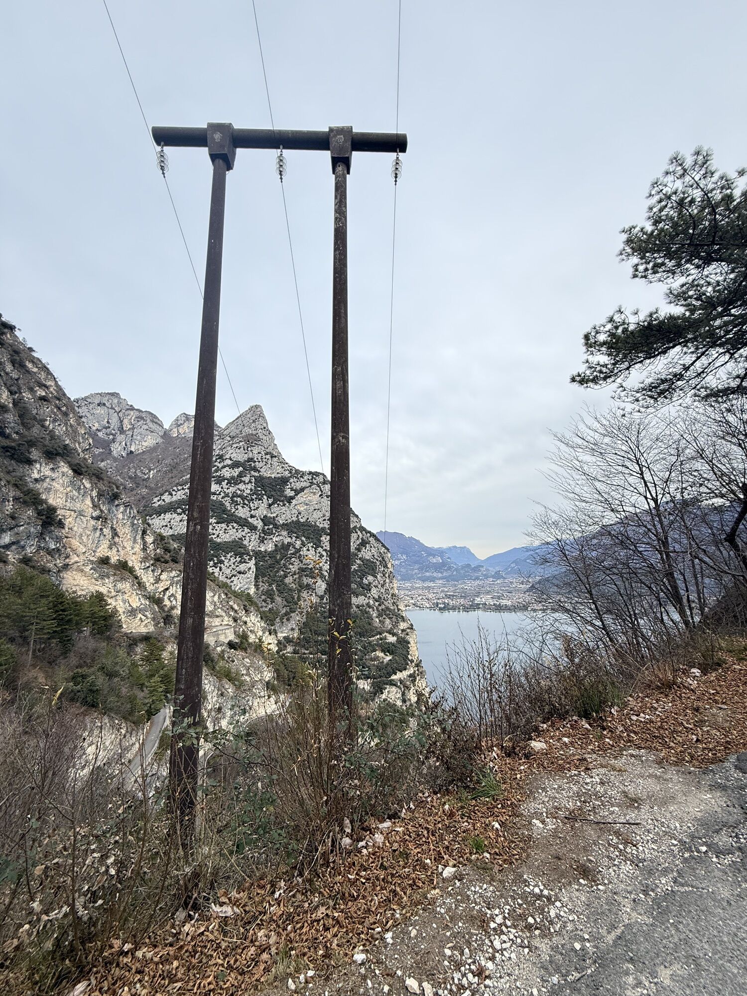
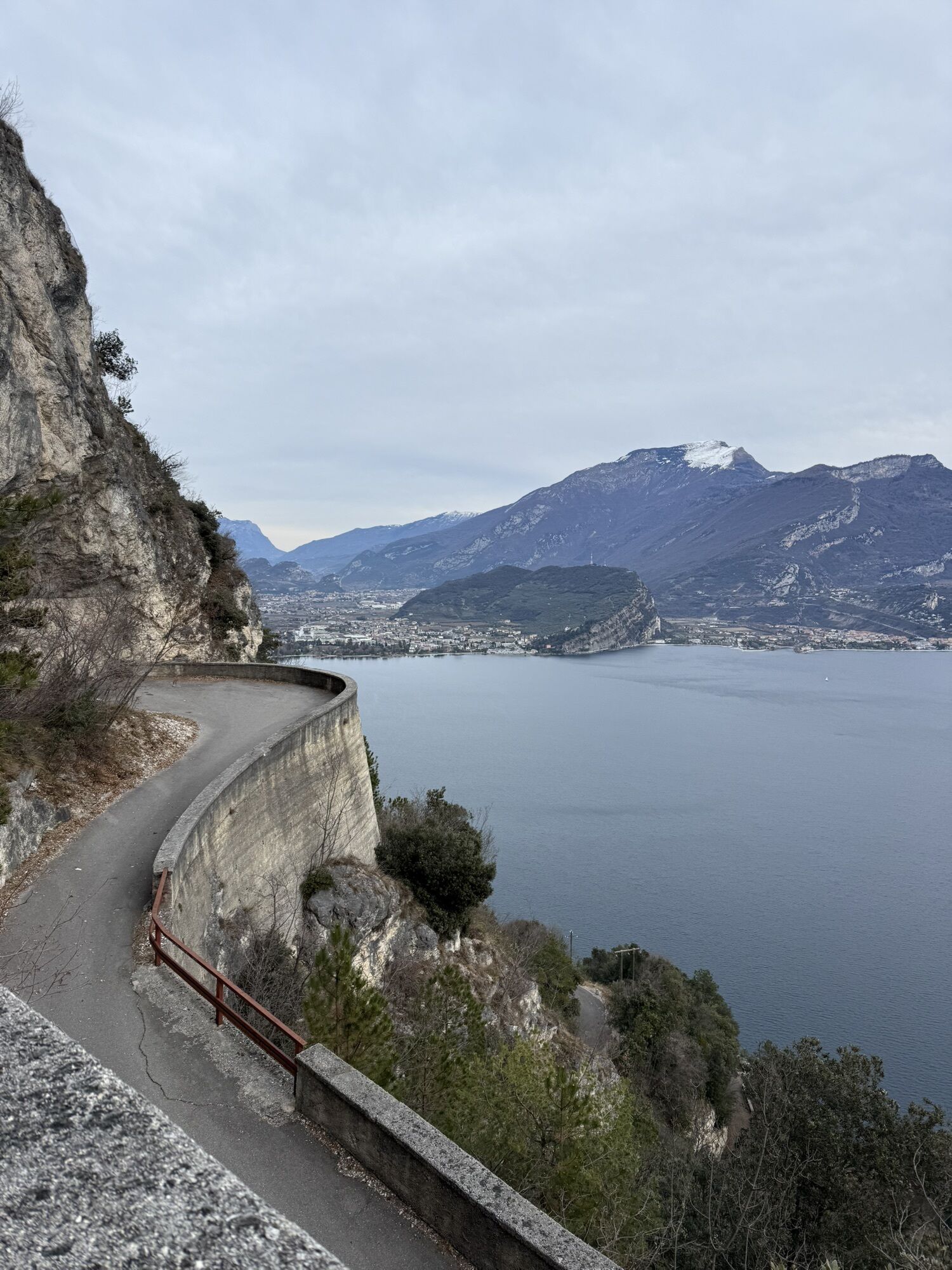
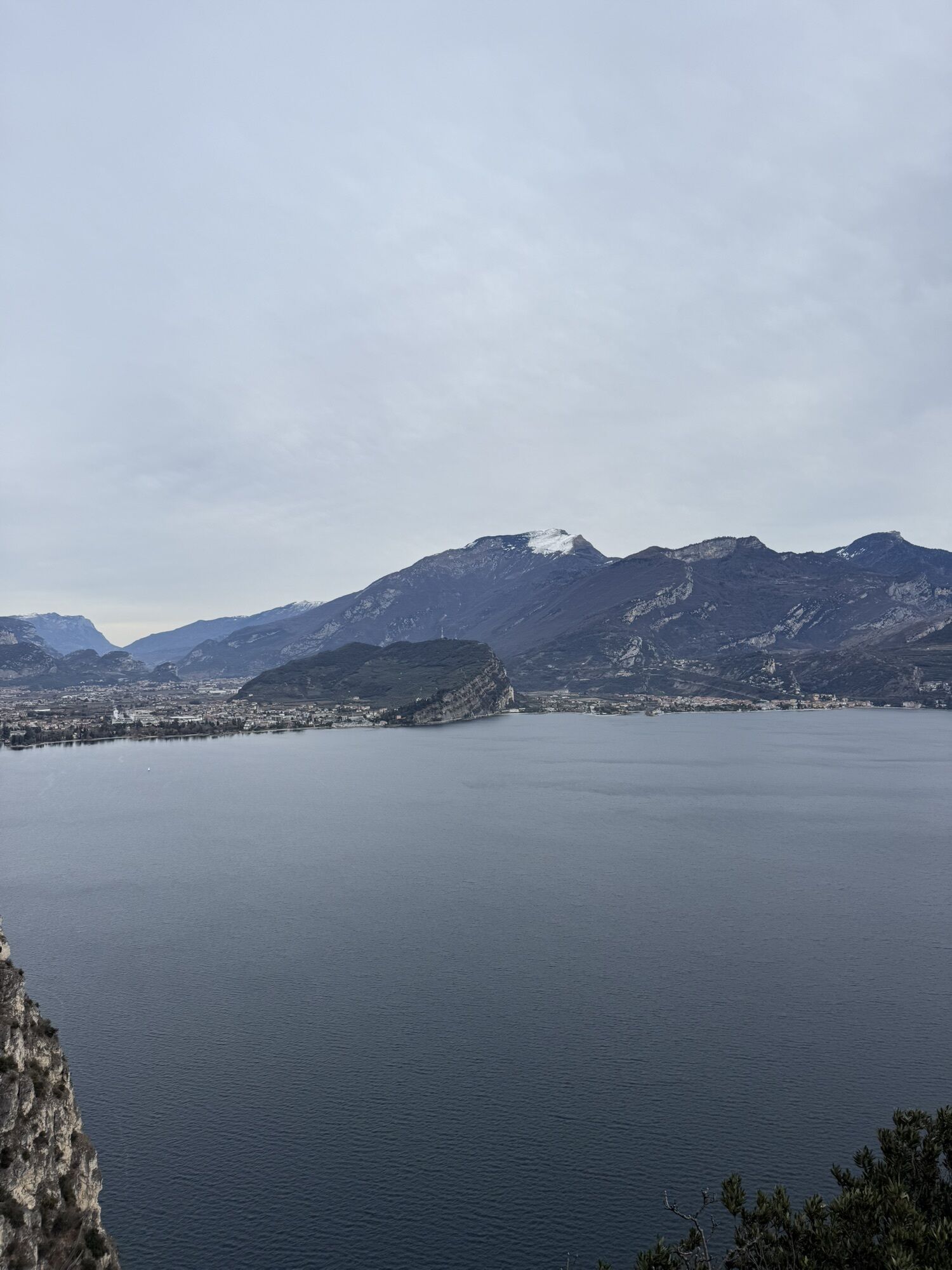
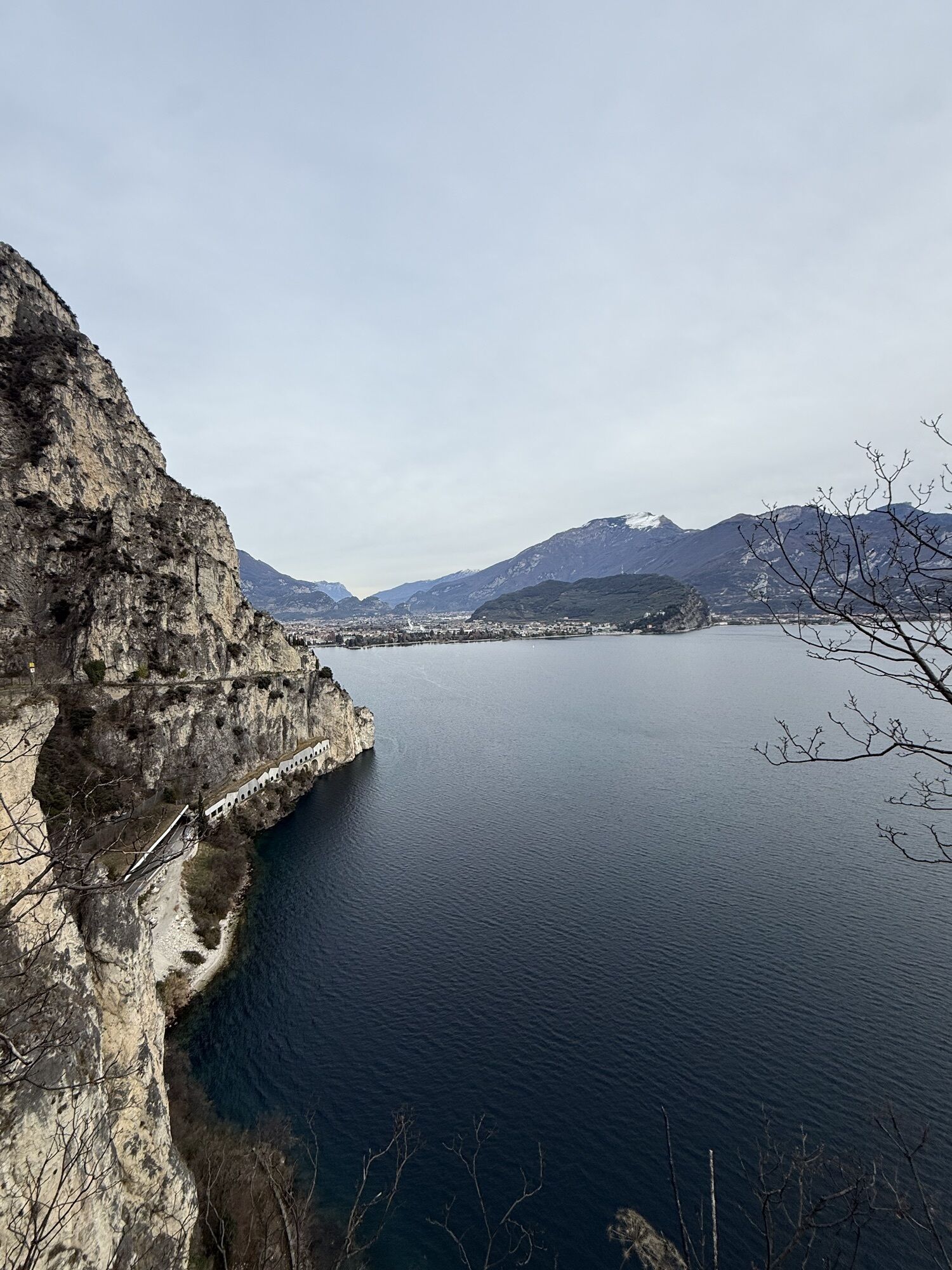
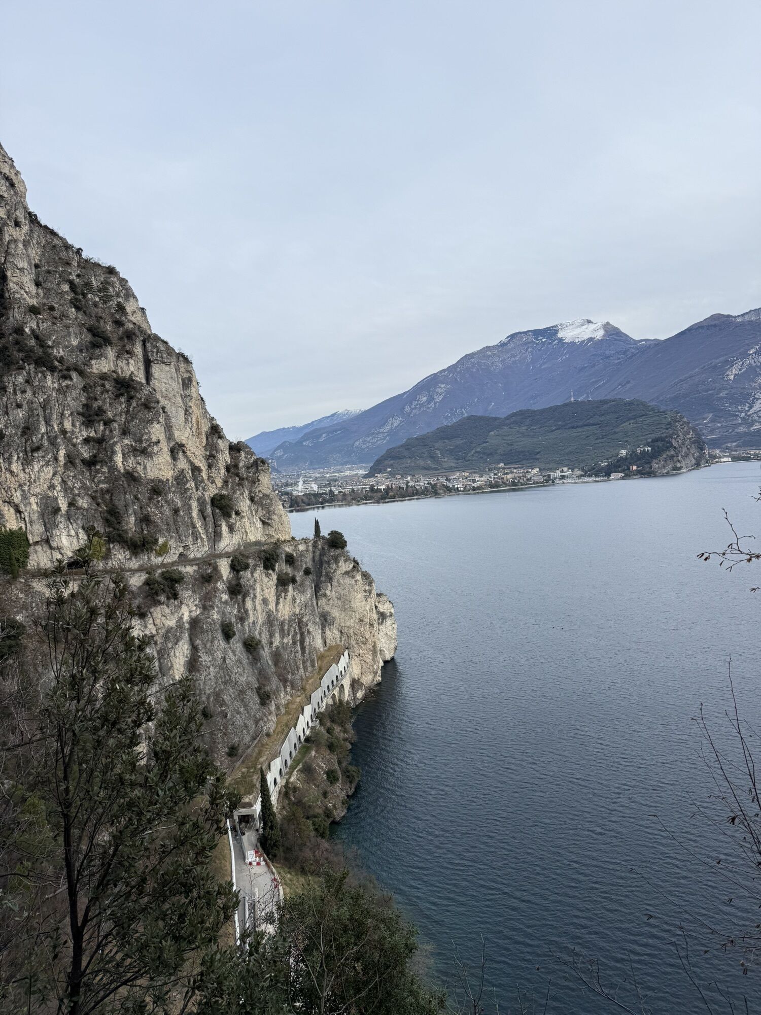
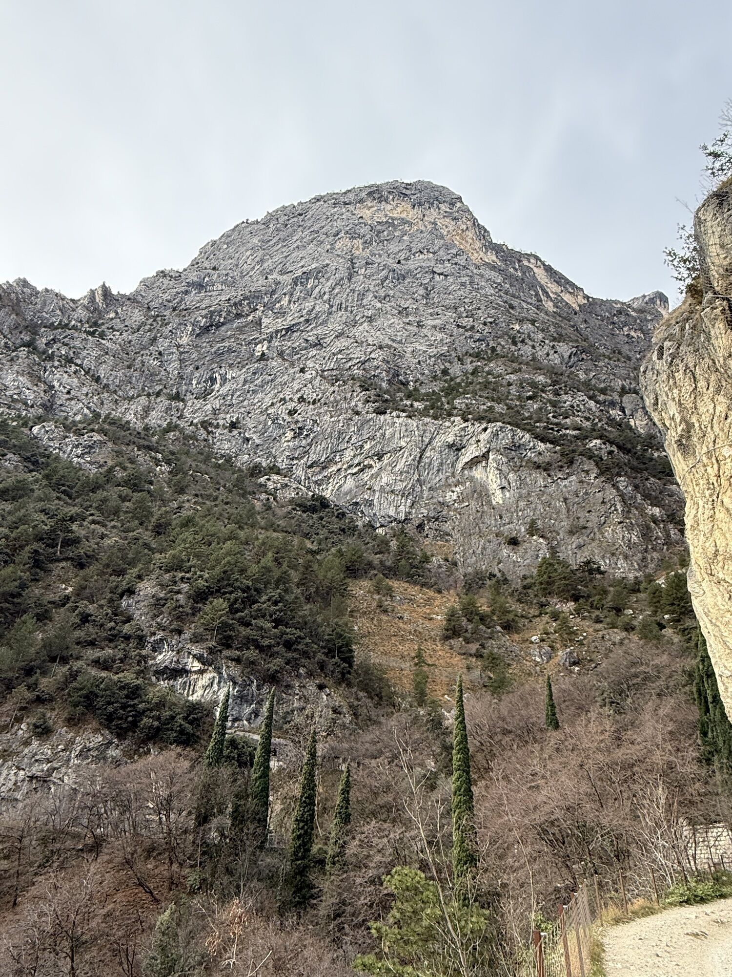
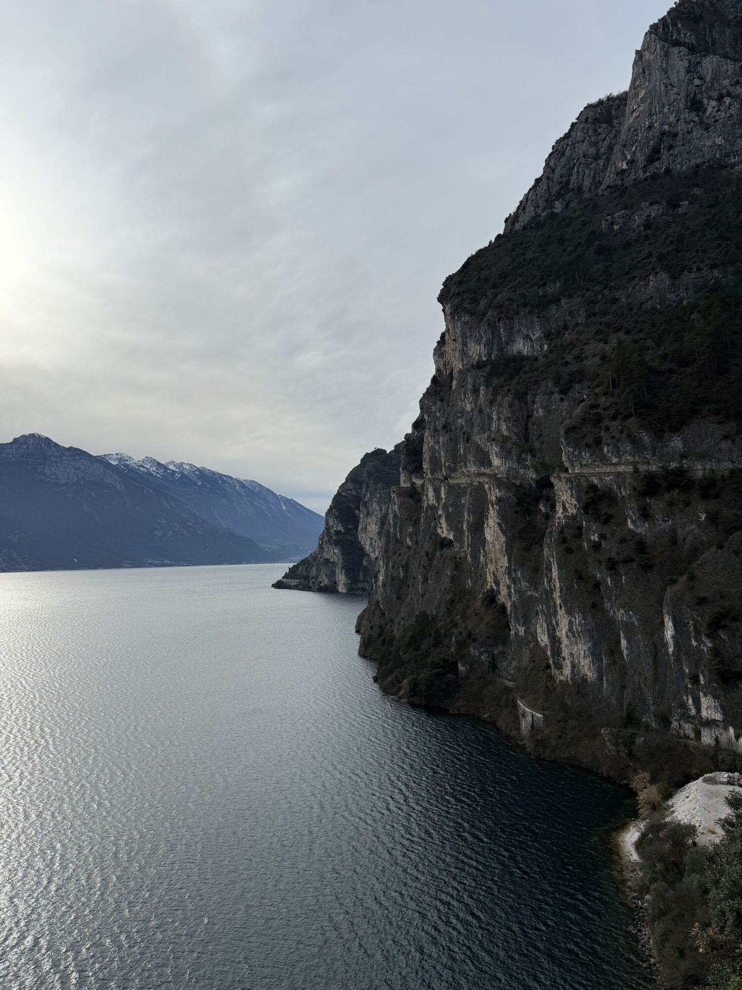
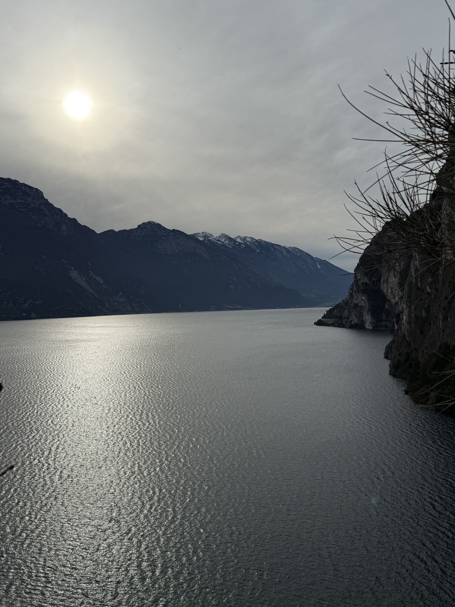
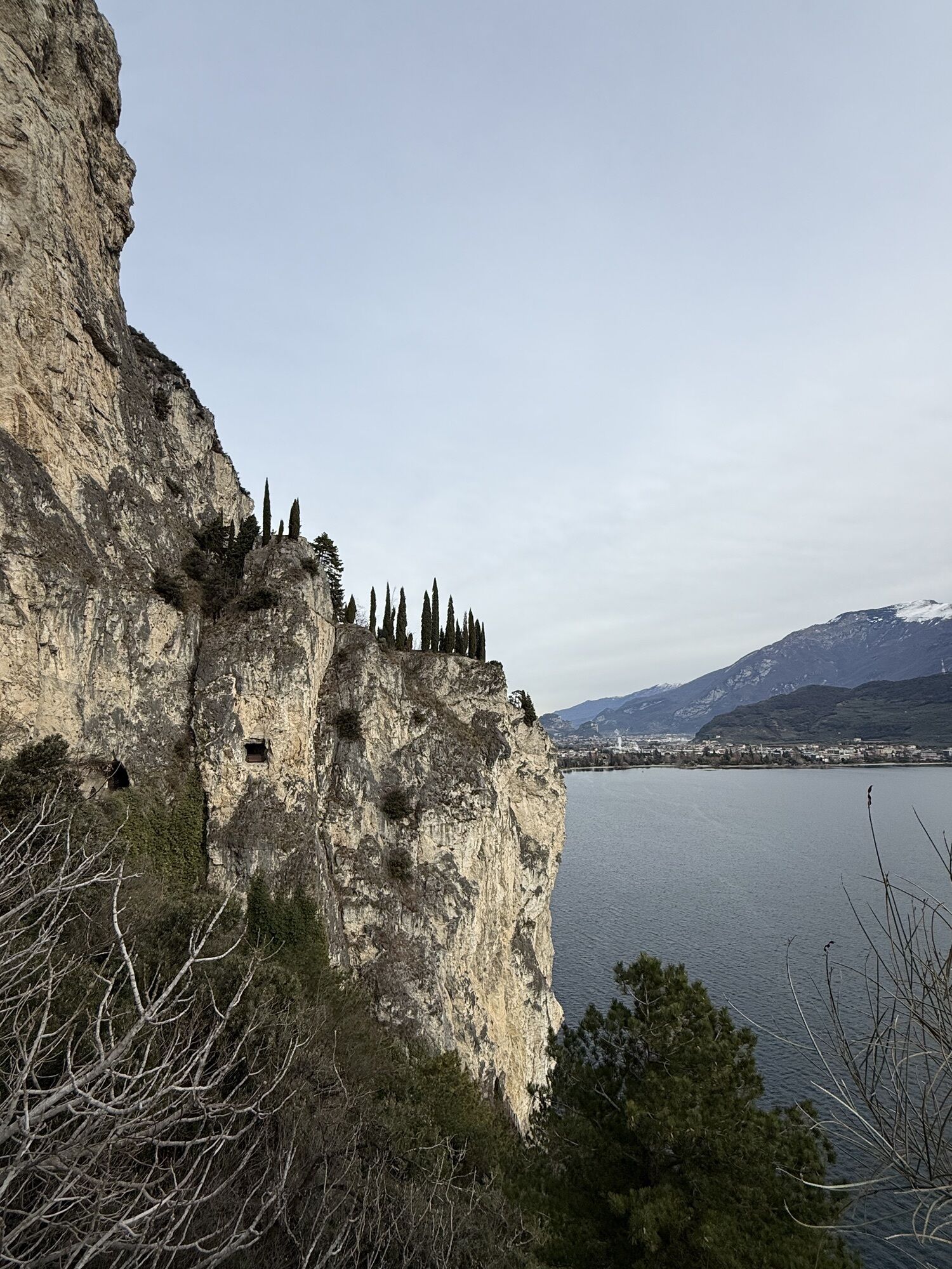
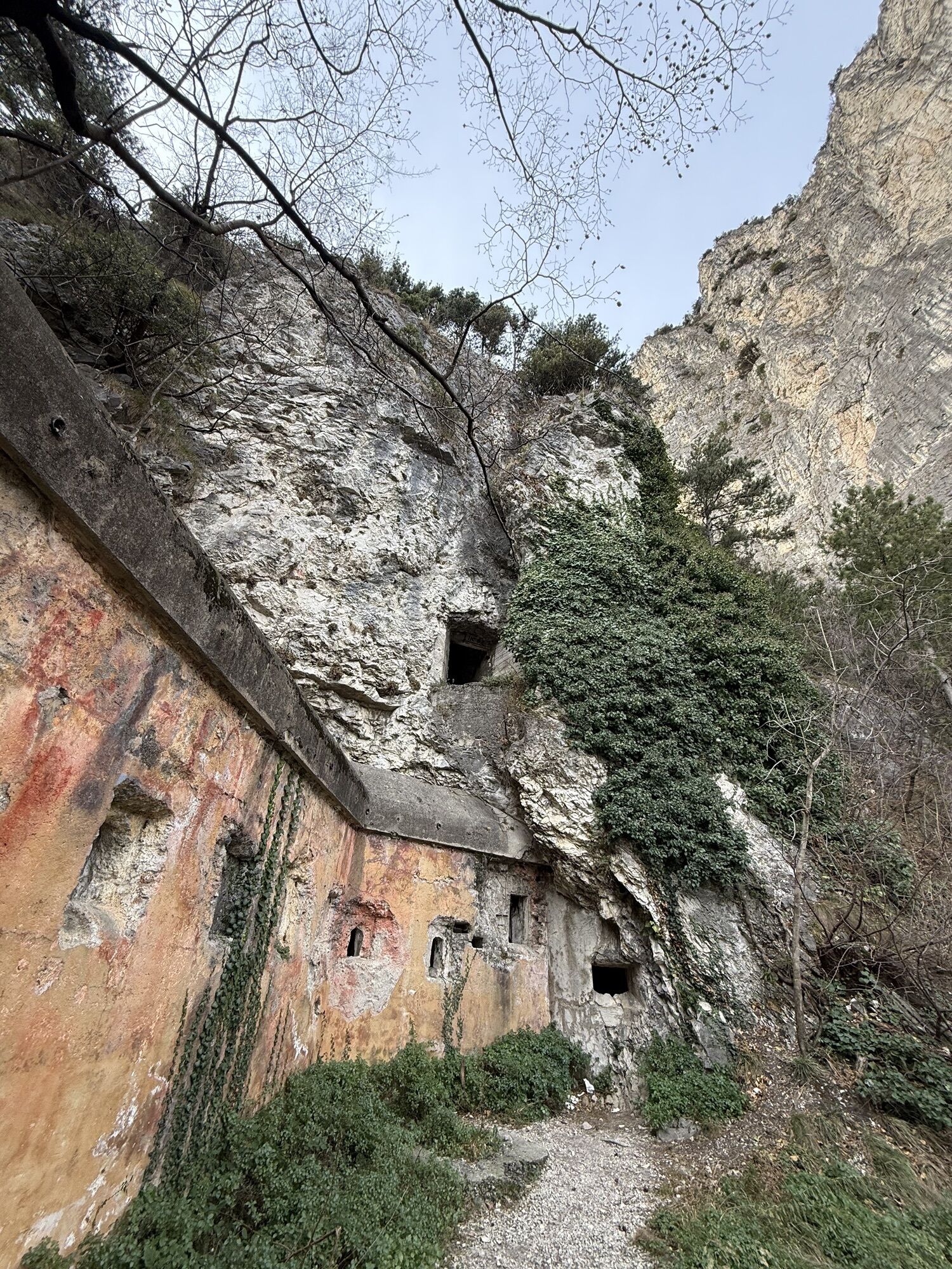

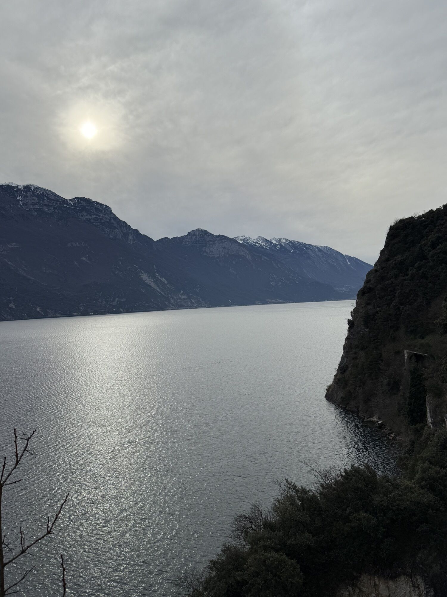
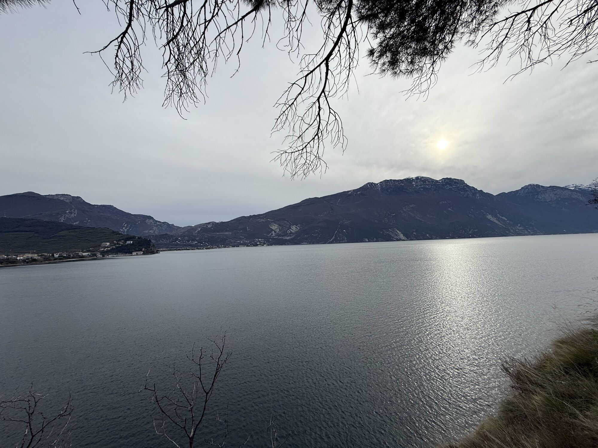

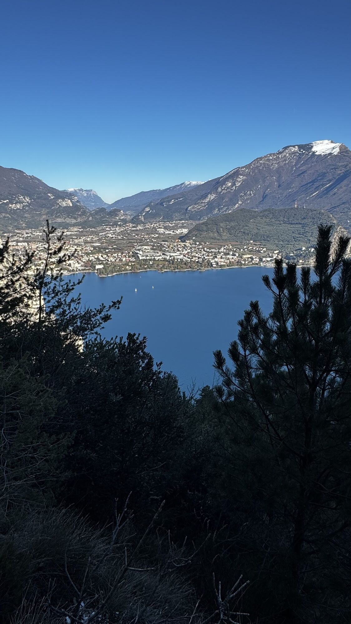
This is a ring route that shares the outward and return journey from Riva to Pregasina along the Ponale trail, offering views of the lake all along the ascent to Punta Larici.
The short ascent along the...
This is a ring route that shares the outward and return journey from Riva to Pregasina along the Ponale trail, offering views of the lake all along the ascent to Punta Larici.
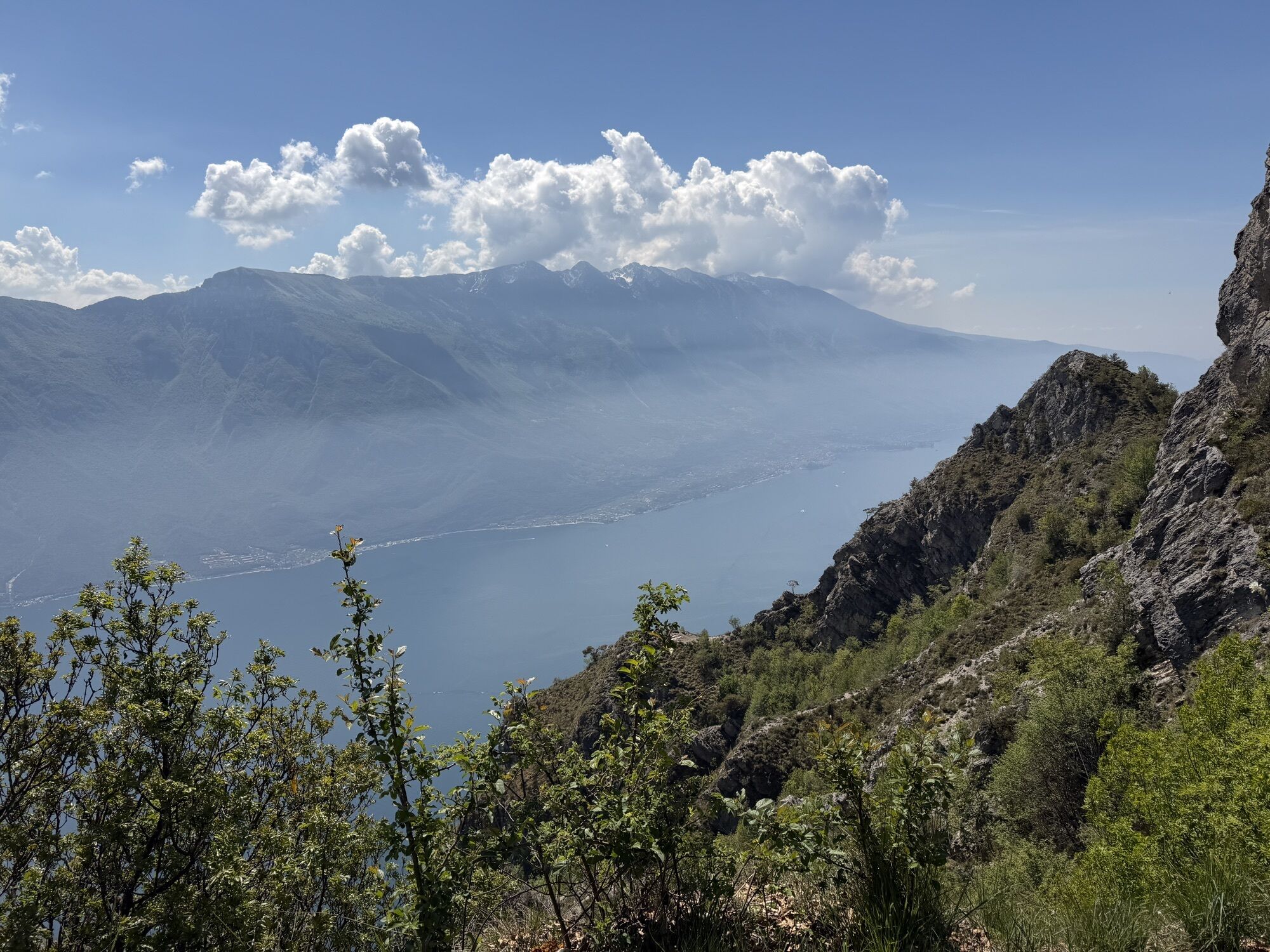
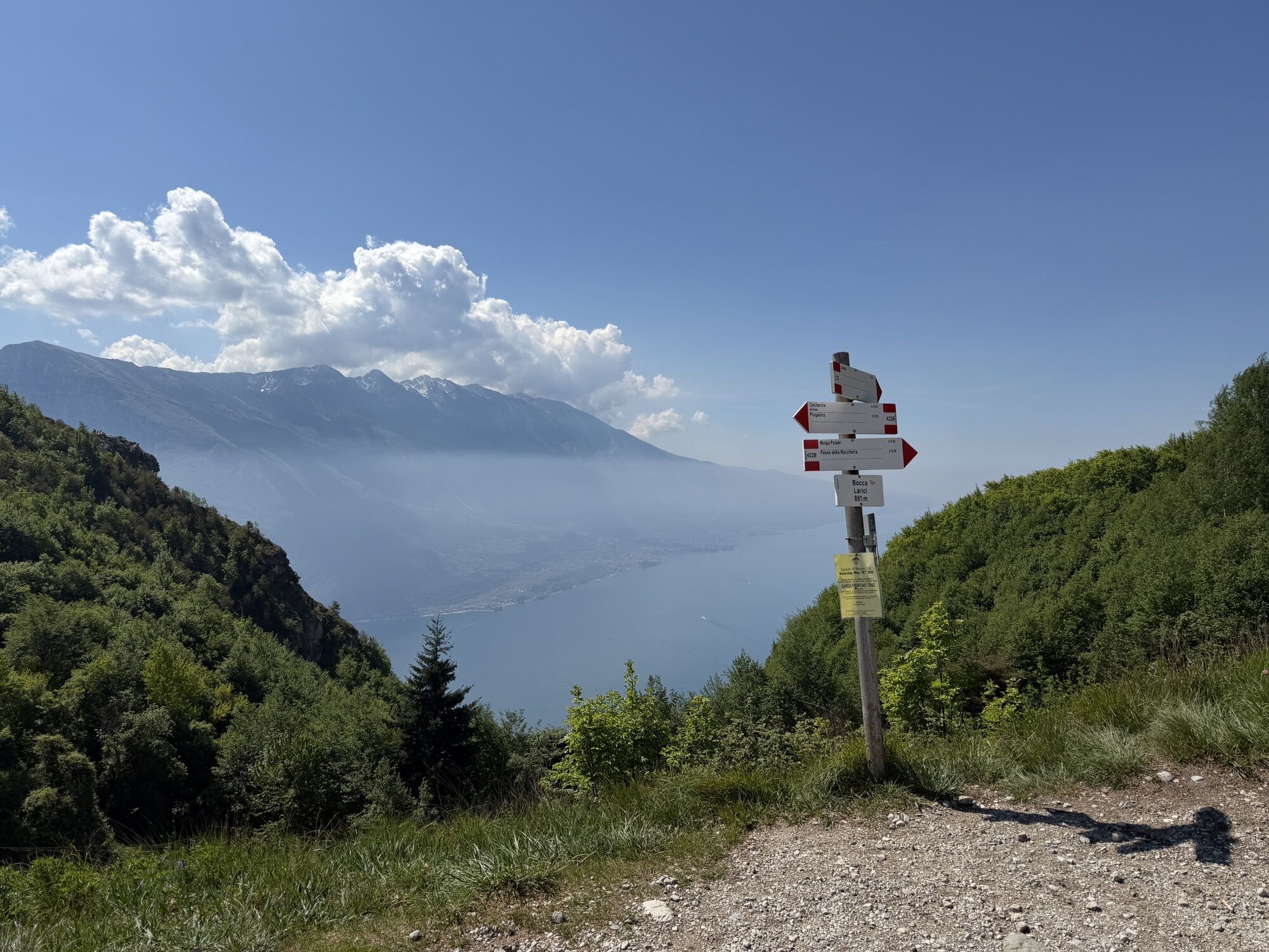
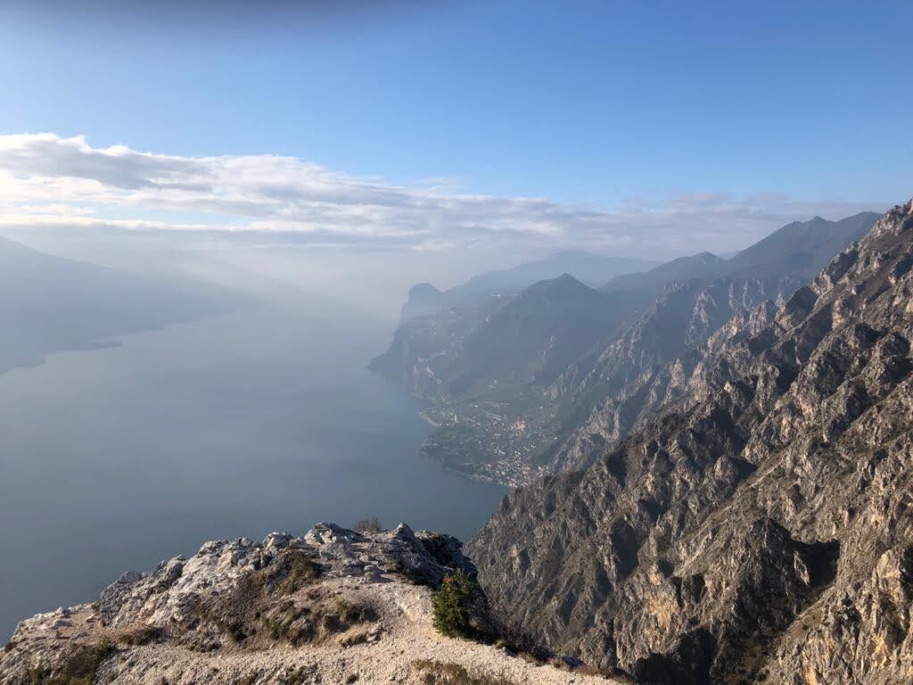
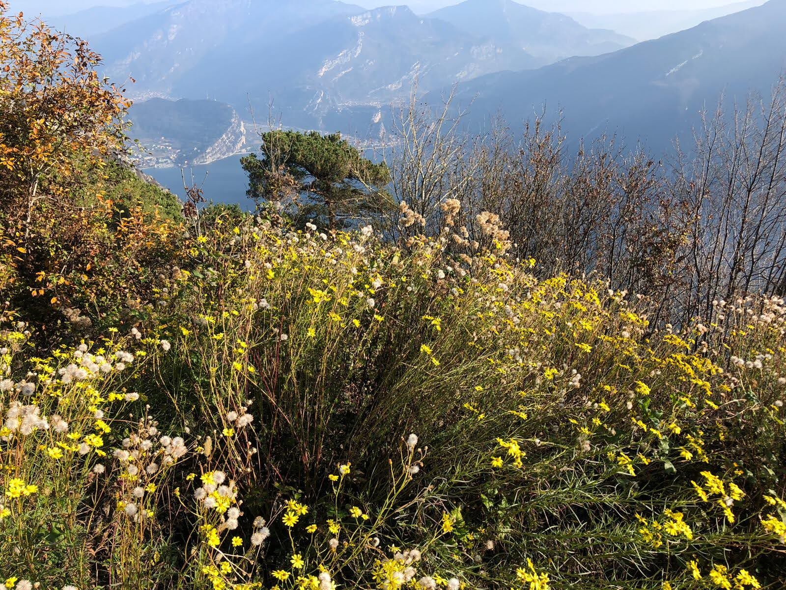
The short ascent along the path "delle creste” (of crests) is very steep and exposed in places, but offers unforgettable views of Lake Garda and Mount Baldo, and at Punta Larici the views extend as far as the Brescian side of the lake. One last burst of energy is needed towards Passo Rocchetta, reached via a demanding climb from Malga Palaer, but it is rewarded with another spectacular viewpoint.
On the way back, we take a different route, more manageable but still with views of the lake, alternating with stretches in the holm oak forest. At Pregasina we can take a break to admire the scenery or head straight down to Riva, running along the Ponale trail until we reach Riva del Garda.
Water points: fountains in Riva and Pregasina (make sure to fill up on water here in spring-summer and avoid the hottest hours of the day); in Malga Palaer there is a small spring (sometimes dry in summer).

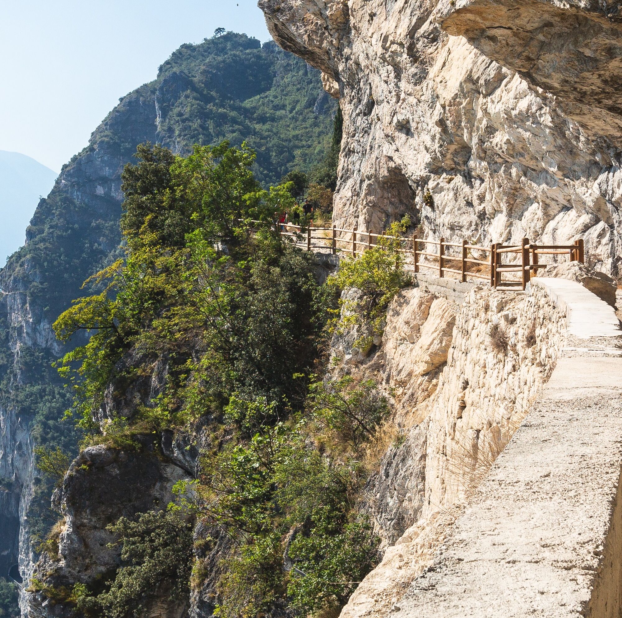
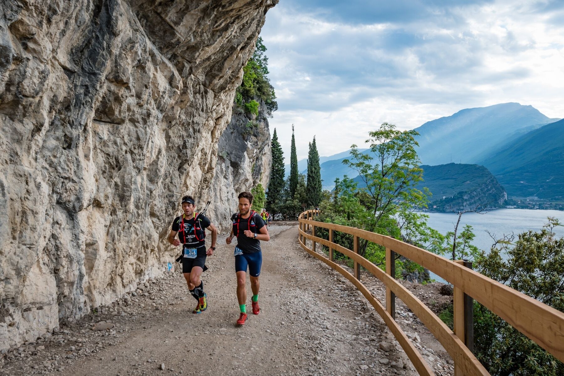
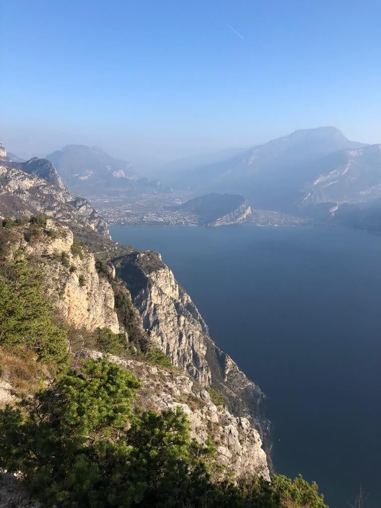
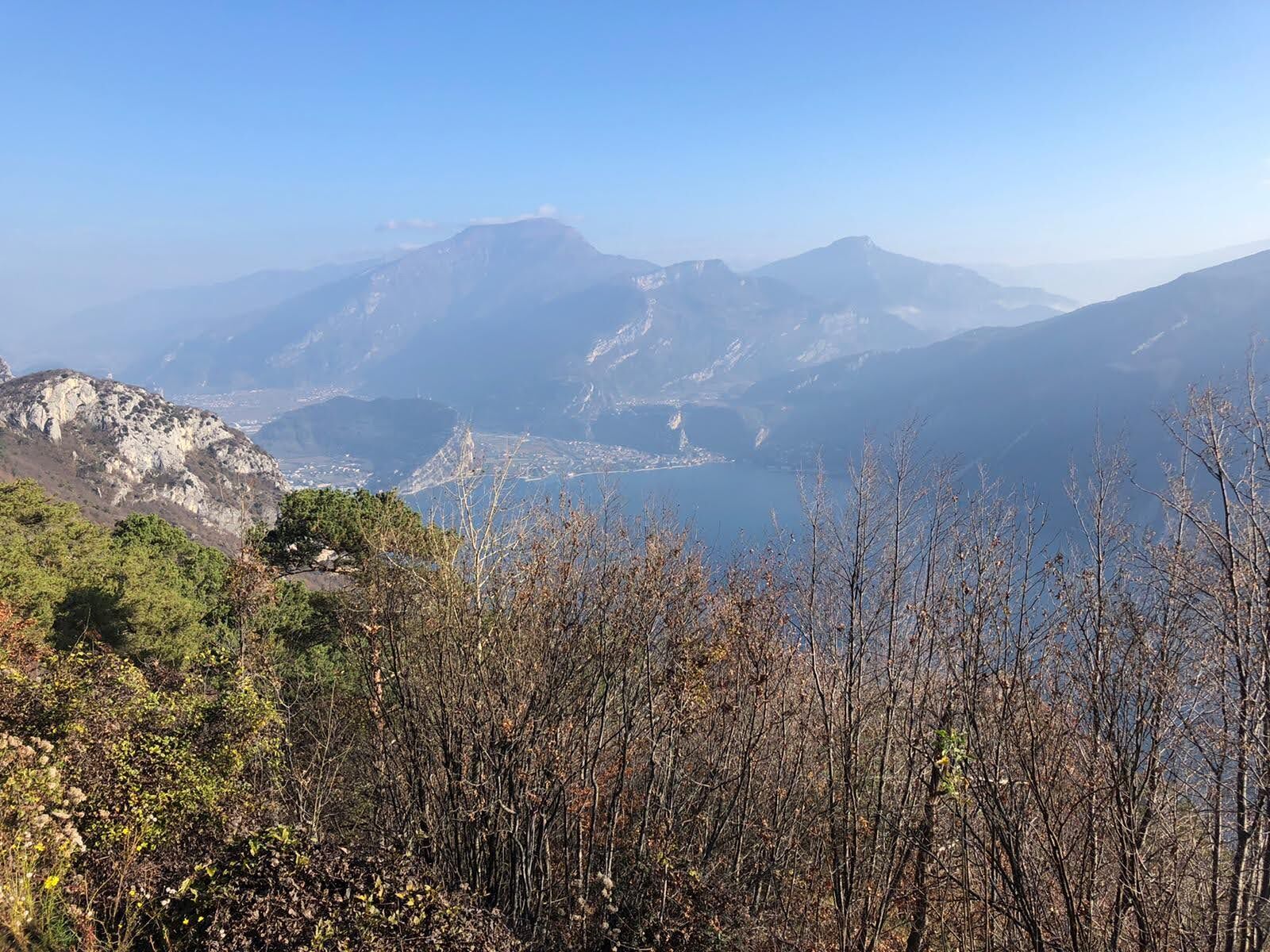
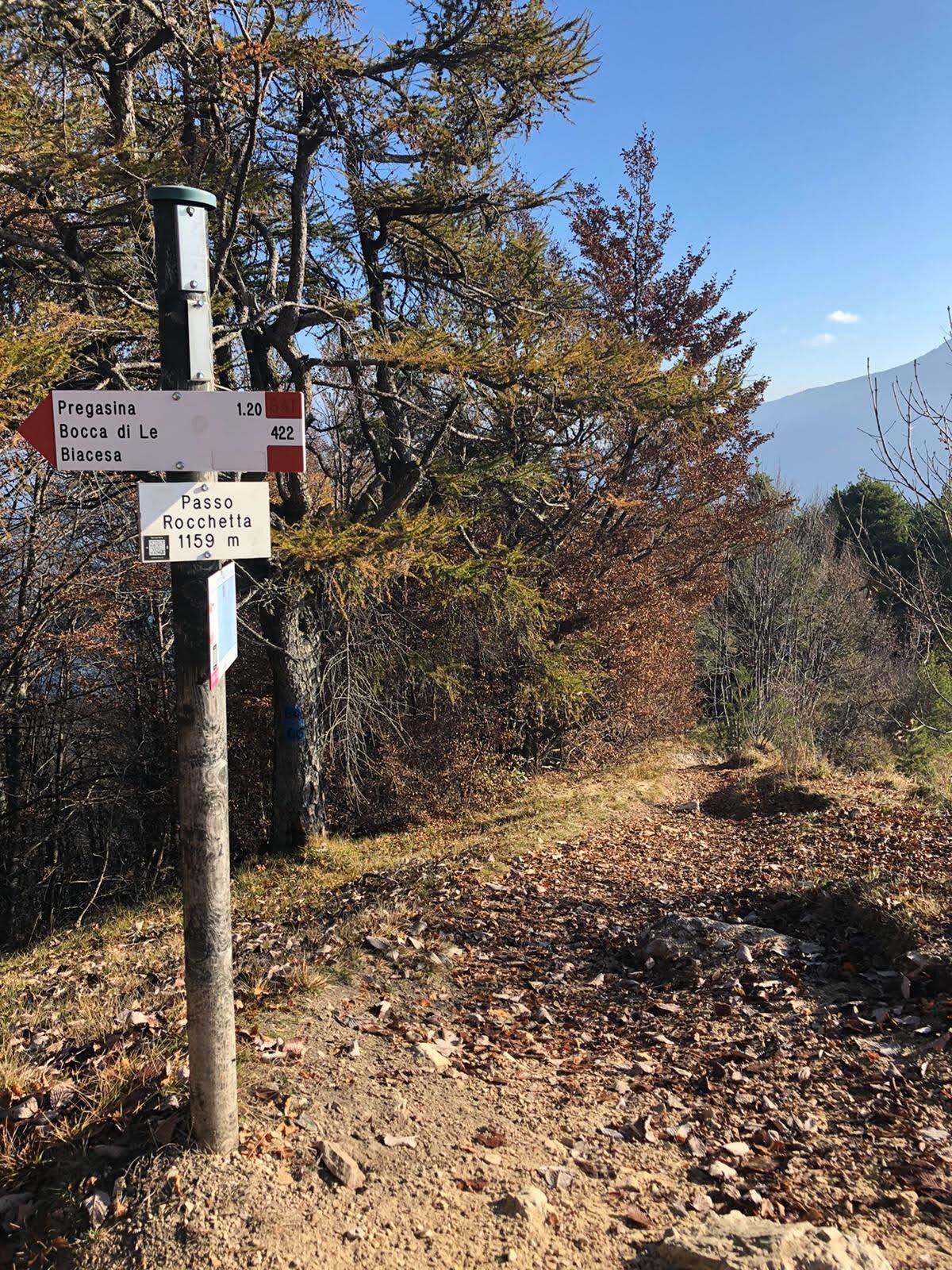

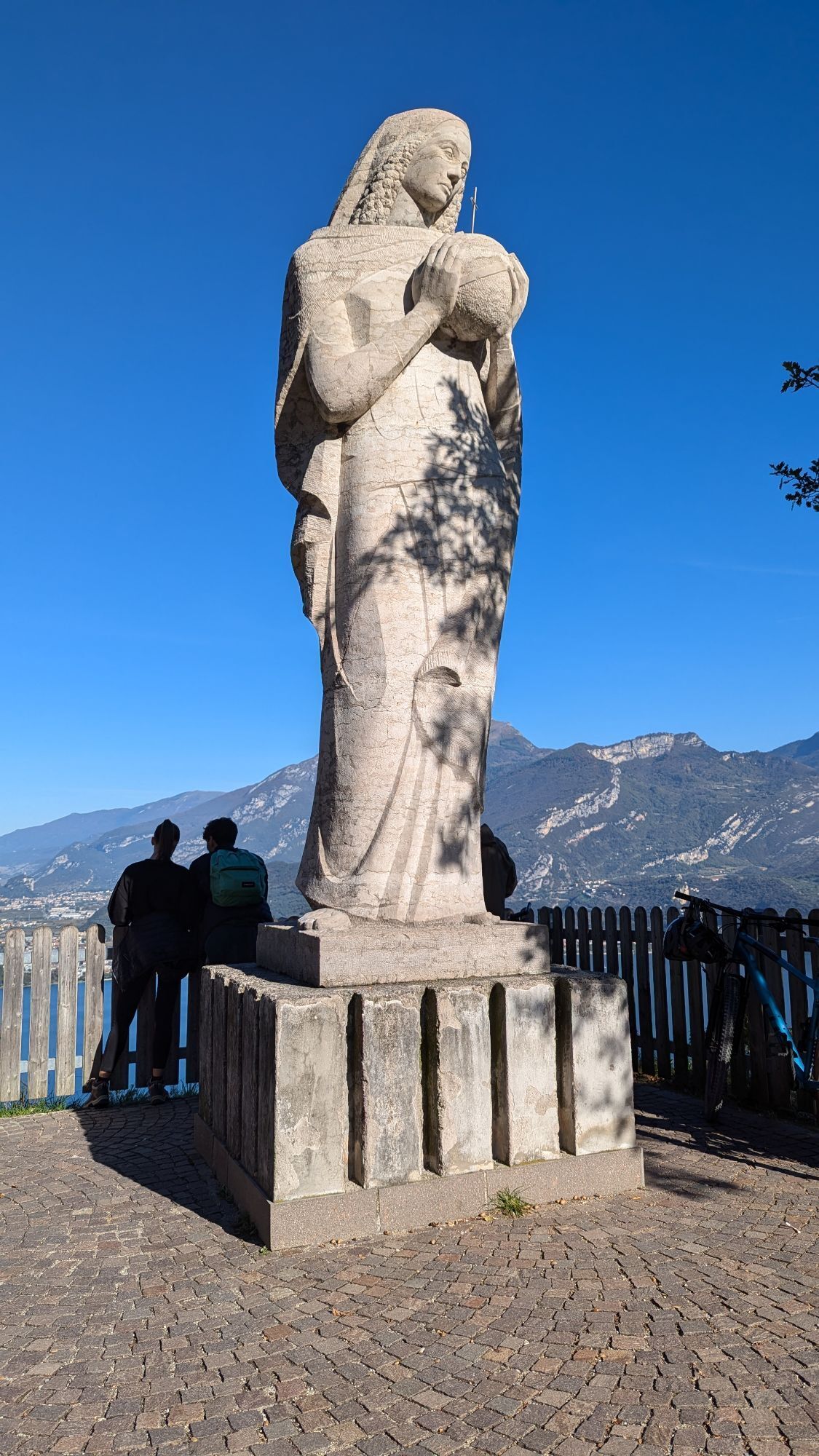
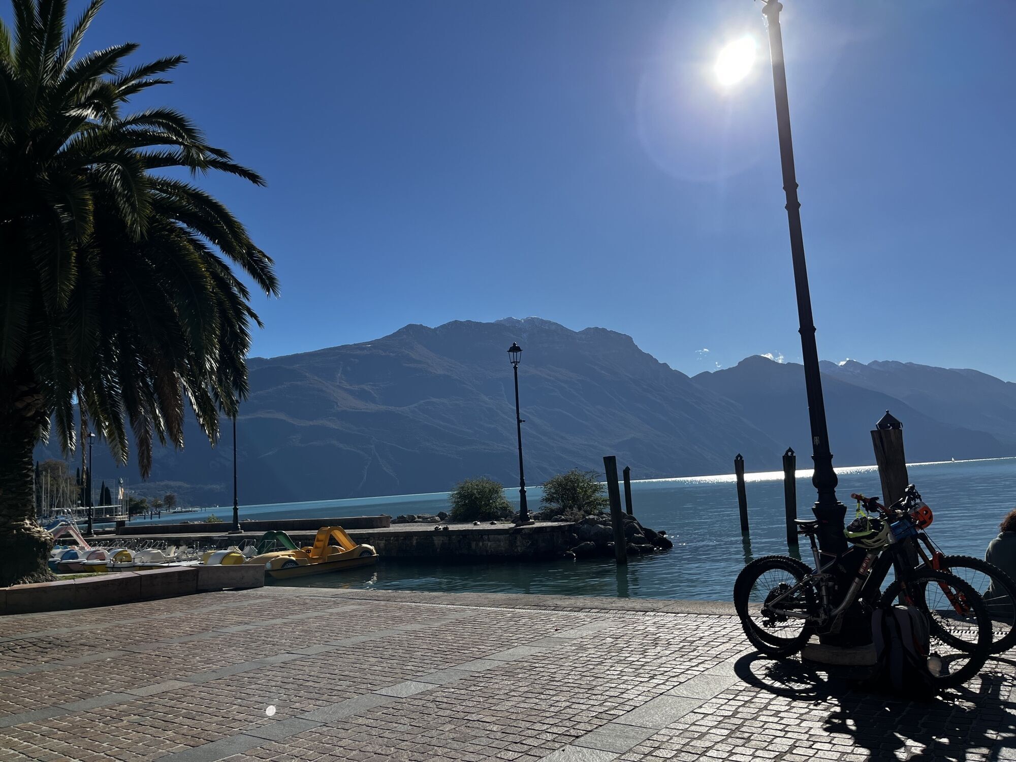
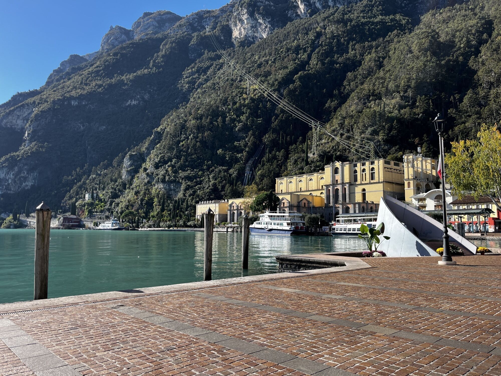
From the Riva del Garda car park, follow the signs for the Ponale trail along the lakefront towards Piazza 3 Novembre. Immediately after the panoramic viewpoint where the Forte Alto Bar is located, take the bridge on the left and climb the hairpin bends until you reach the Madonnina di Pregasina.
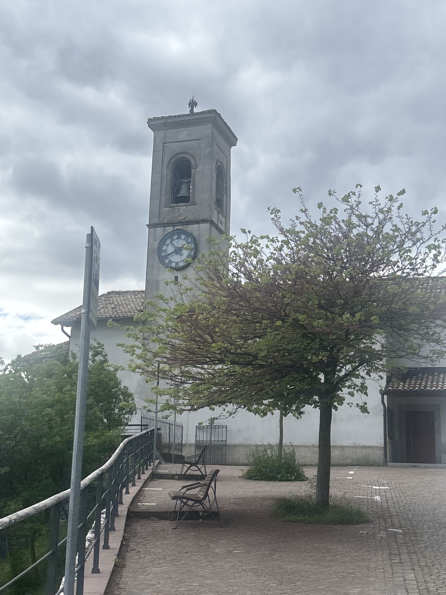
Continue for a few more hairpin bends to the village of Pregasina, and after the church take the forest road (trail 422b), from which the Creste path 422A branches off to the left (it is very exposed, so be careful) leading to Punta Larici. From Bocca Larici, continue along the forest road to Malga Palaer (trail 422b) and from there along the path leading to Passo Rocchetta (422b).
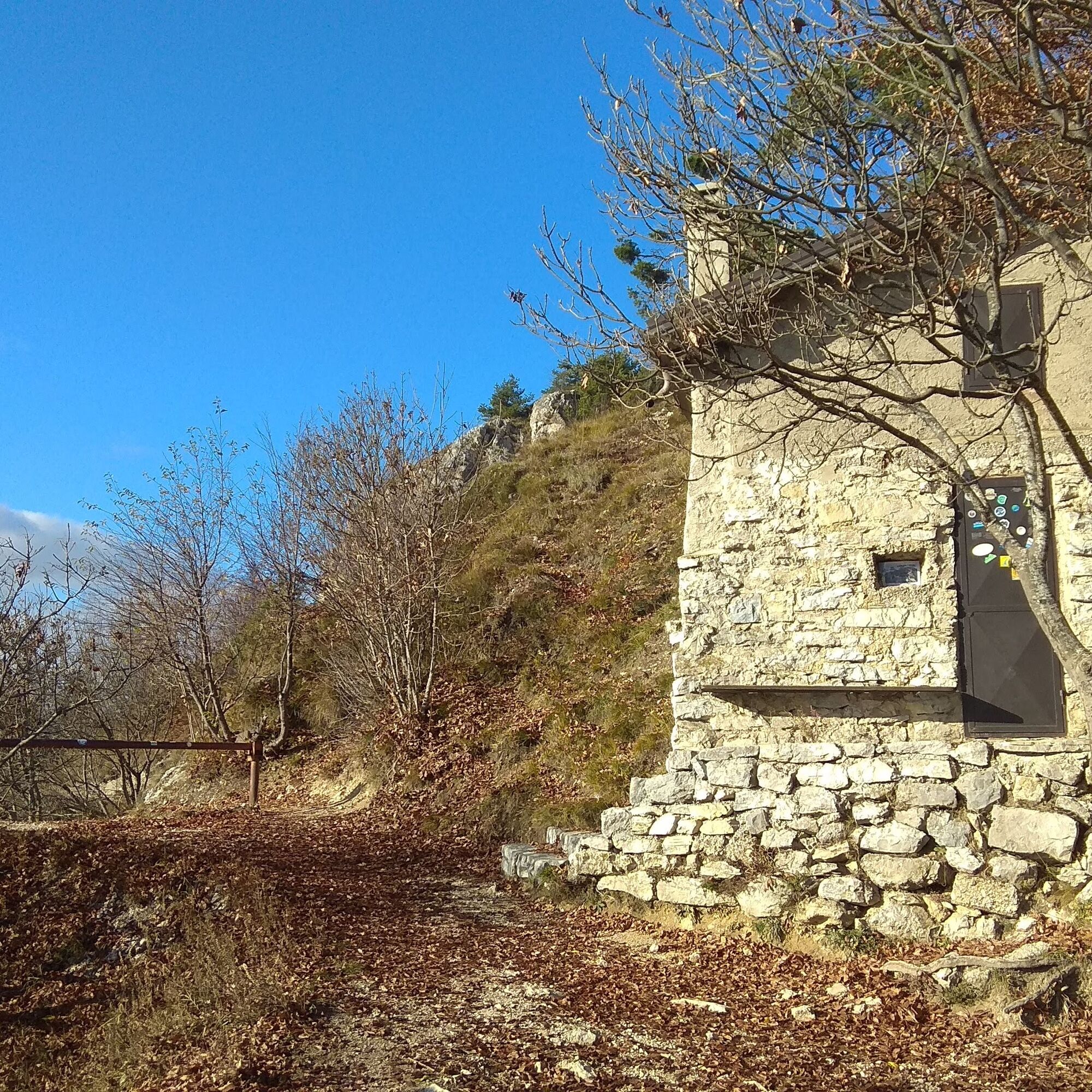
For the return journey, take the mule track to the right next to the small hut, which then joins trail 422, continuing to the left. At a clearing, descend to the right following the signs (trail 422) for the return to Pregasina (the descent is a little steep, so be careful), where you return to Riva along the same route as the outward journey.
Áno
The information on this chart is subject to inevitable variations, so this means that none of the indications are absolute. It is not entirely possible to avoid giving inexact or imprecise information, given how quickly environmental and weather conditions can change. For this reason, we decline any responsibility for changes which the user may encounter. In any case, the hiker is advised to check the conditions of the places, environment and weather before setting out.
Getting to northern lake Garda / Garda Trentino: www.gardatrentino.it
For up-to-the-minute information on timetables and routes: www.gardatrentino.it
You can also get to Riva del Garda and Torbole sul Garda by the public ferry service. For up-to-the-minute information on timetables and routes: www.gardatrentino.it
Pay parking at the Public Gardens Porta Orientale, Roman Baths, Viale Lutti (Ex Agraria), Monte Oro, shopping center Blue Garden.
For more information on routes and services: guides, shops and outdoor friendly friendly accommodation: APT Garda Trentino, Tel. +39 0464 554444 www.gardatrentino.it
Heading along the Ponale trail at dawn, when it is not yet very busy is spectacular, or try it in the late afternoon, to enjoy the sunset from Punta Larici.

Webové kamery z prehliadky
Získajte prehľad
Vždy naživo na mieste s viac ako 9 500 webovými kamerami. bergfex Ako používateľ Pro si teraz môžete pozrieť príslušné webové kamery pre mnohé zájazdy v aplikácii zájazdy z. Môžete si tak priamo prezerať aktuálne podmienky.



Obľúbené výlety v okolí
-
5,0
Bastione and Santa Barbara, the lords of Riva del Garda
strednáTuristika 2,94 km -
5,0
Via Ferrata Signora delle Acque - Rio Ruzza
ťažkéVia ferrata 5,32 km -
4,8
Bocca Fortini - Tour
ťažkéMountainbike 35,4 km -
4,8
Via Ferrata Fausto Susatti - Cima Capi (from Ledro)
strednáVia ferrata 7,11 km -
4,7
Sentiero Busatte Tempesta
svetloTuristika 7,90 km -
4,6
Via Ferrata delle Laste e Gallerie di Cima Rocca
svetloVia ferrata 6,38 km -
4,9
Via Ferrata dell’Amicizia - Cima SAT
strednáVia ferrata 4,41 km -
4,5
Walking around Lake Ledro
svetloTuristika 9,40 km -
4,4
Tremalzo Big - Tour
ťažkéMountainbike 45,6 km -
4,6
Colodri Klettersteig (A/B)
Via ferrata 7,50 km

Turistika a stopovanie


Nenechajte si ujsť ponuky a inšpiráciu na ďalšiu dovolenku
Vaša e-mailová adresa bol pridaný do poštového zoznamu.





