


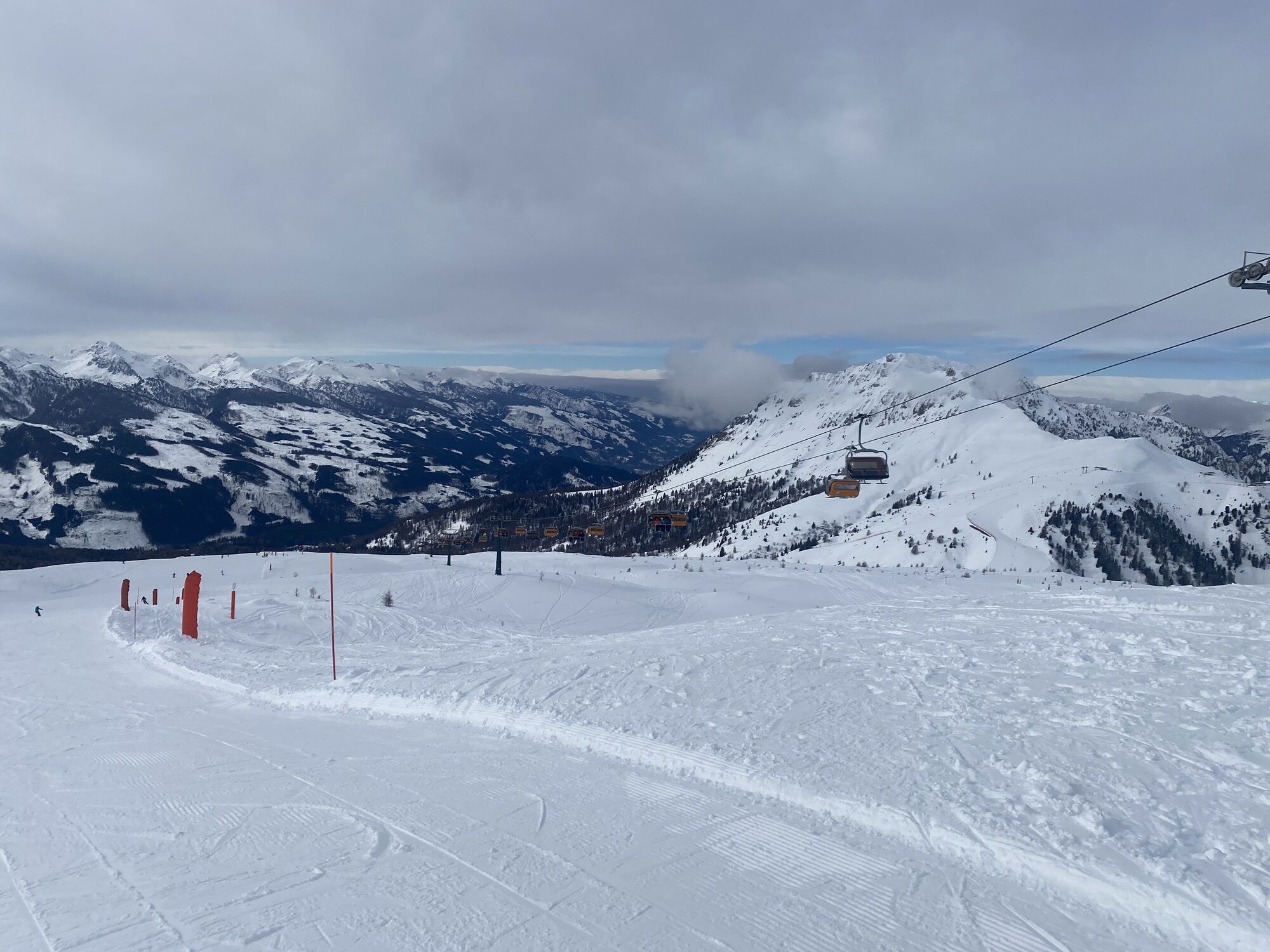
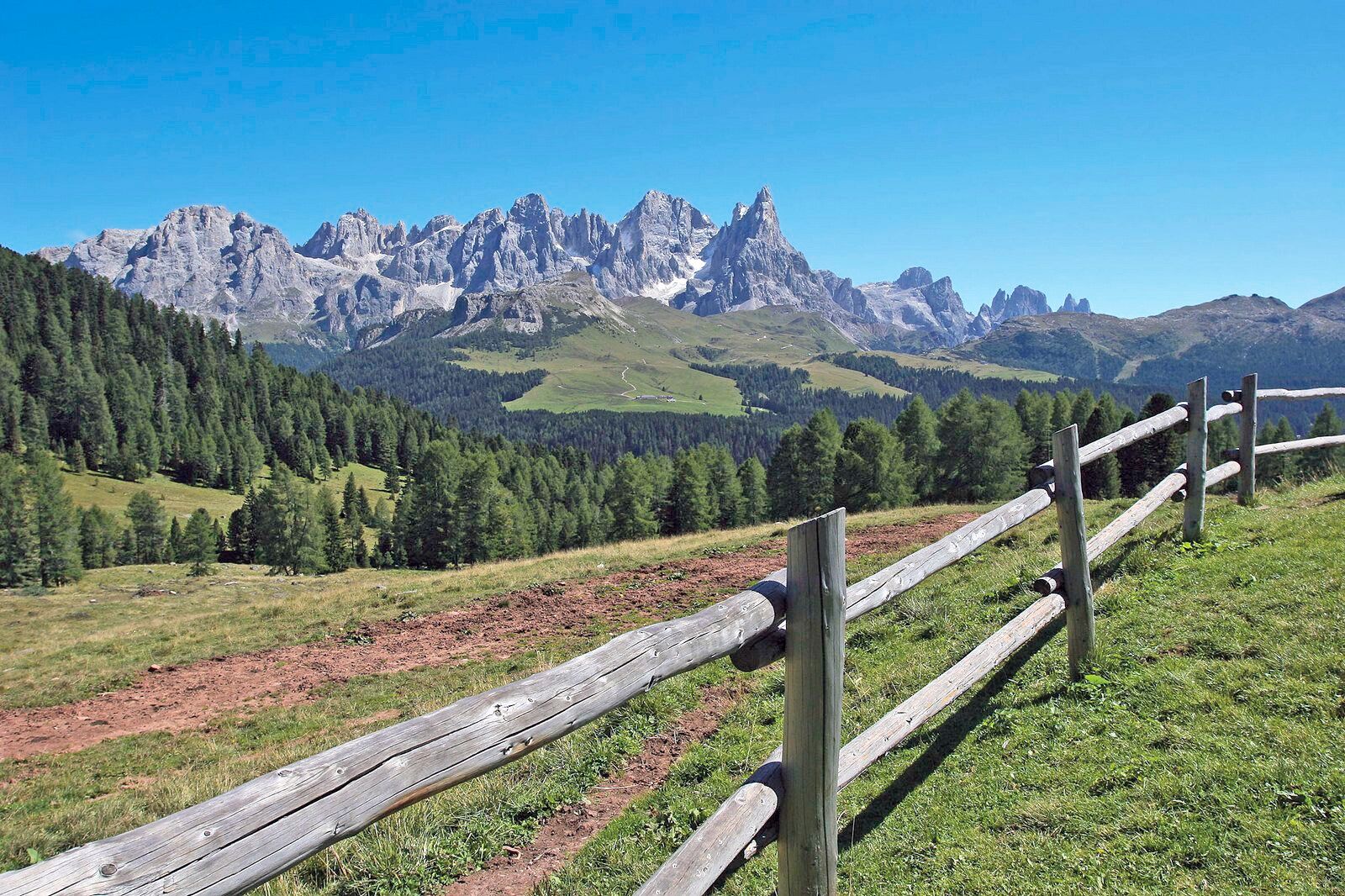
Moena - Alpe Lusia - Cima Bocche

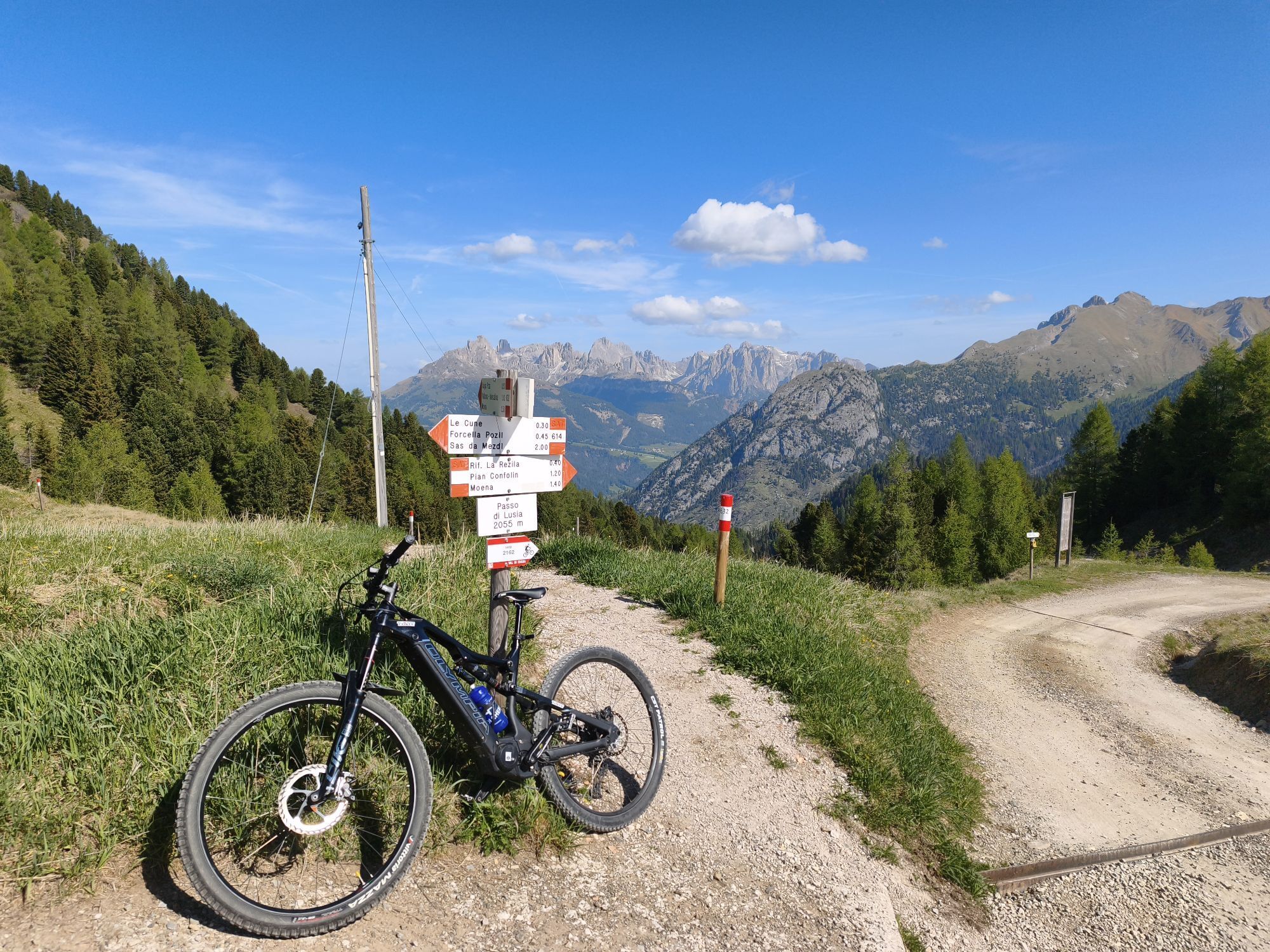
From Lusia Pass take path no. 633. Ascend through the grassy terraces at the edge of "Lasté" ski slope, alternating easy stretches with steeper sections, up to the mountain station of the ski lift (closed...
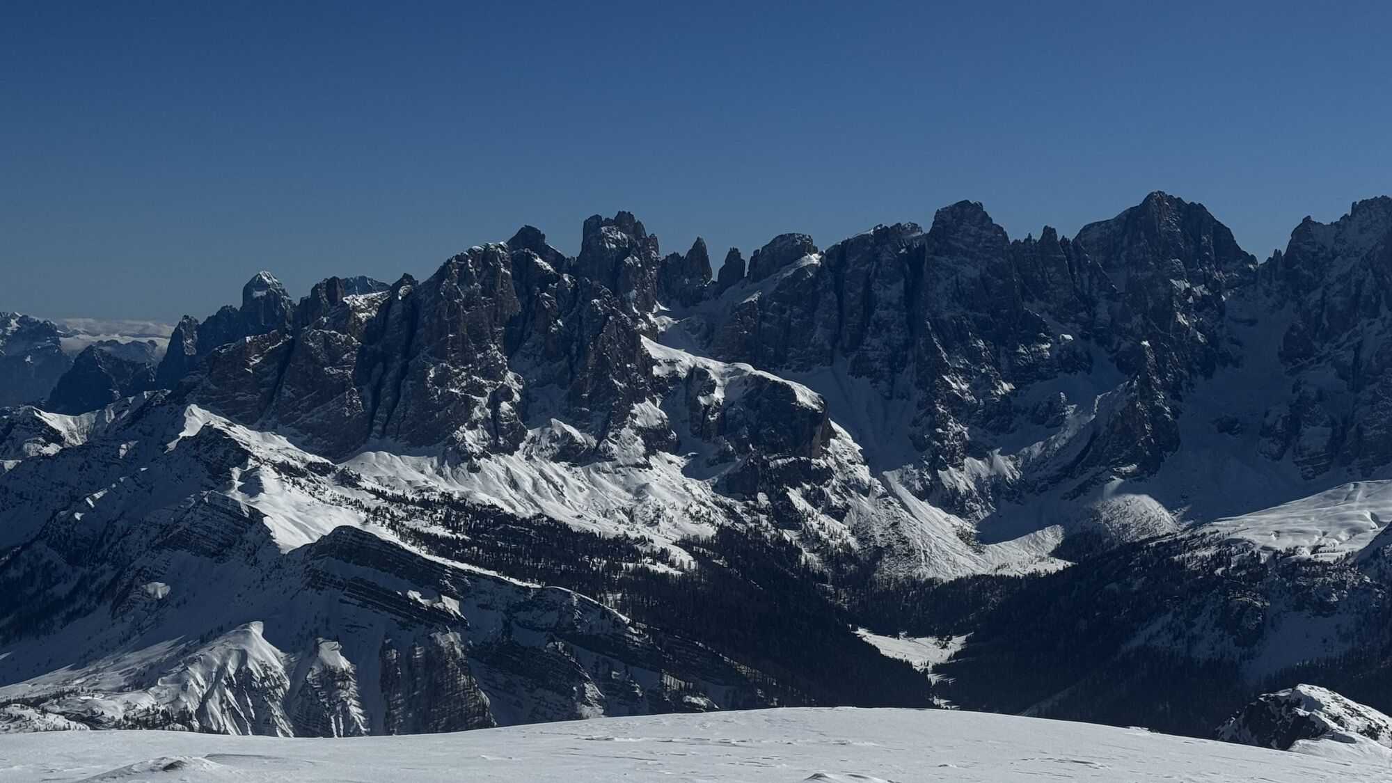
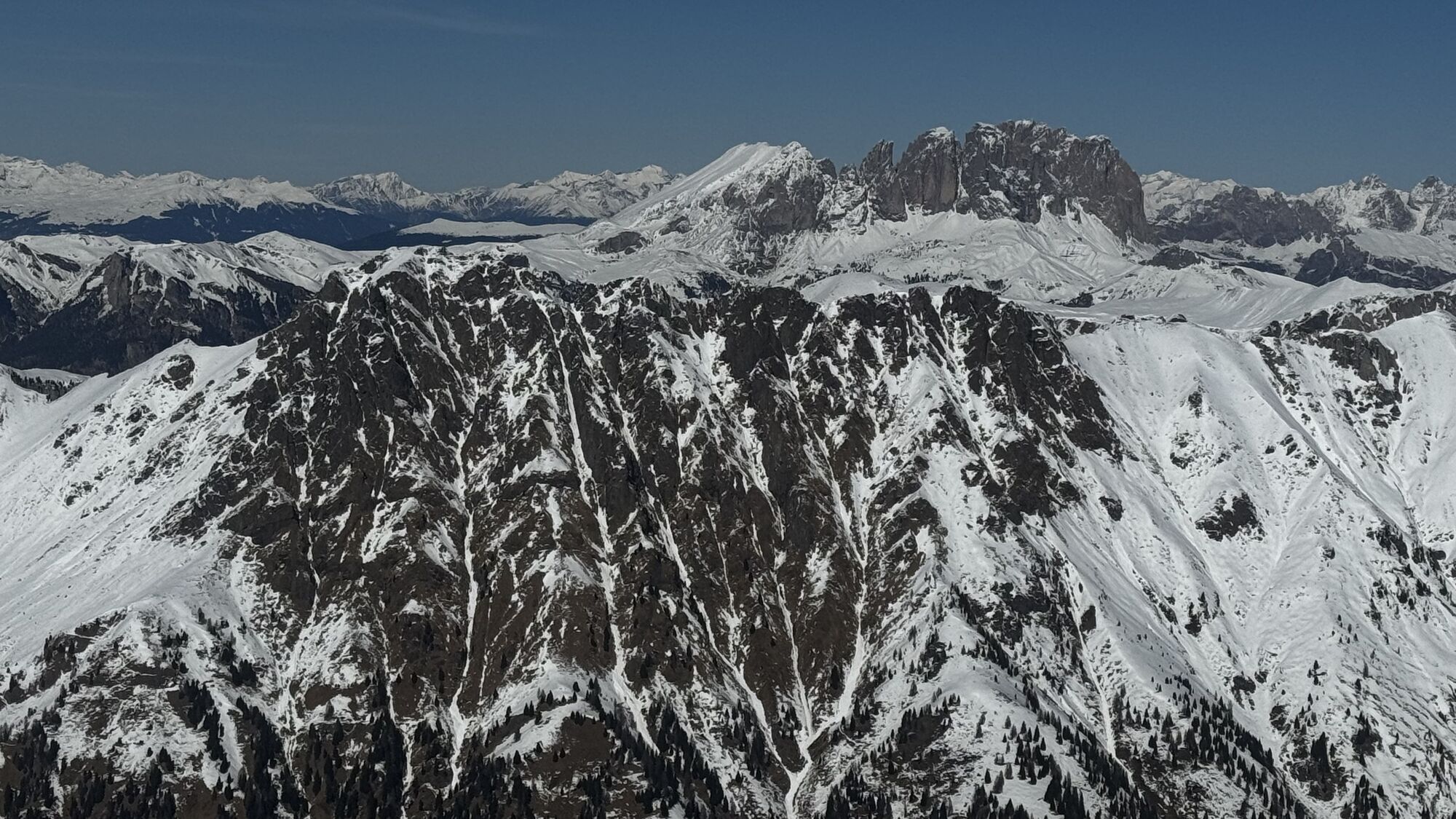
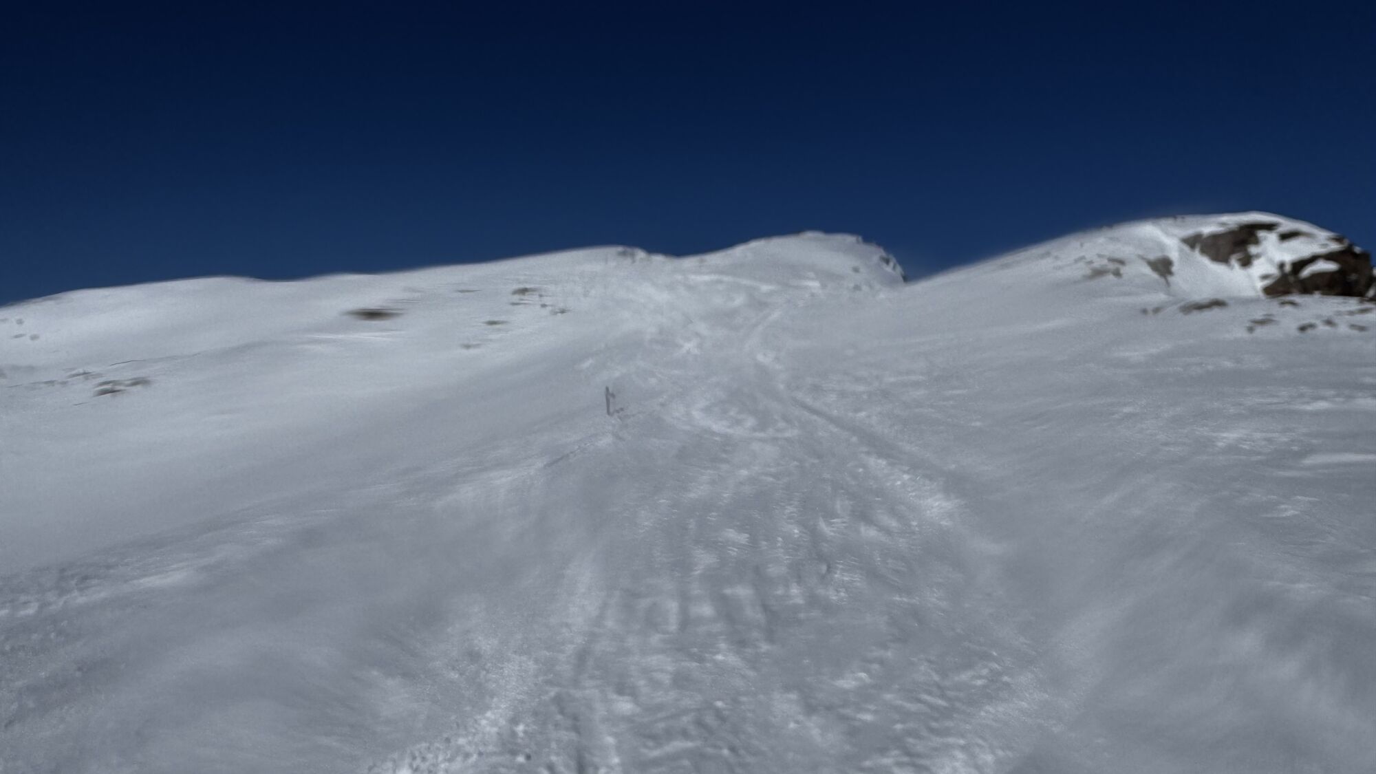
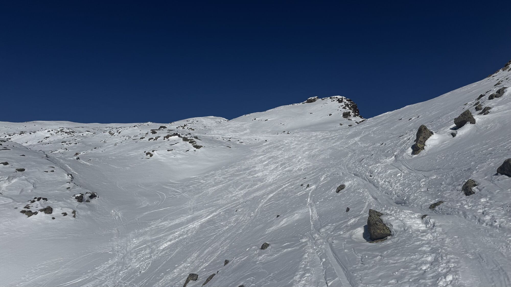
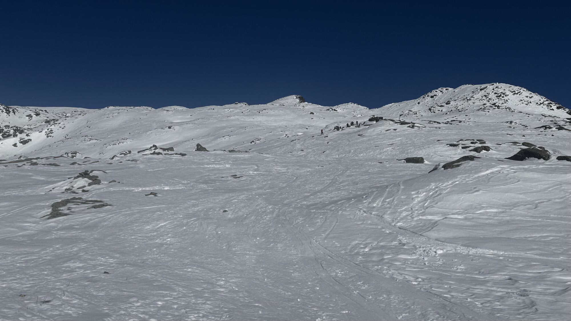
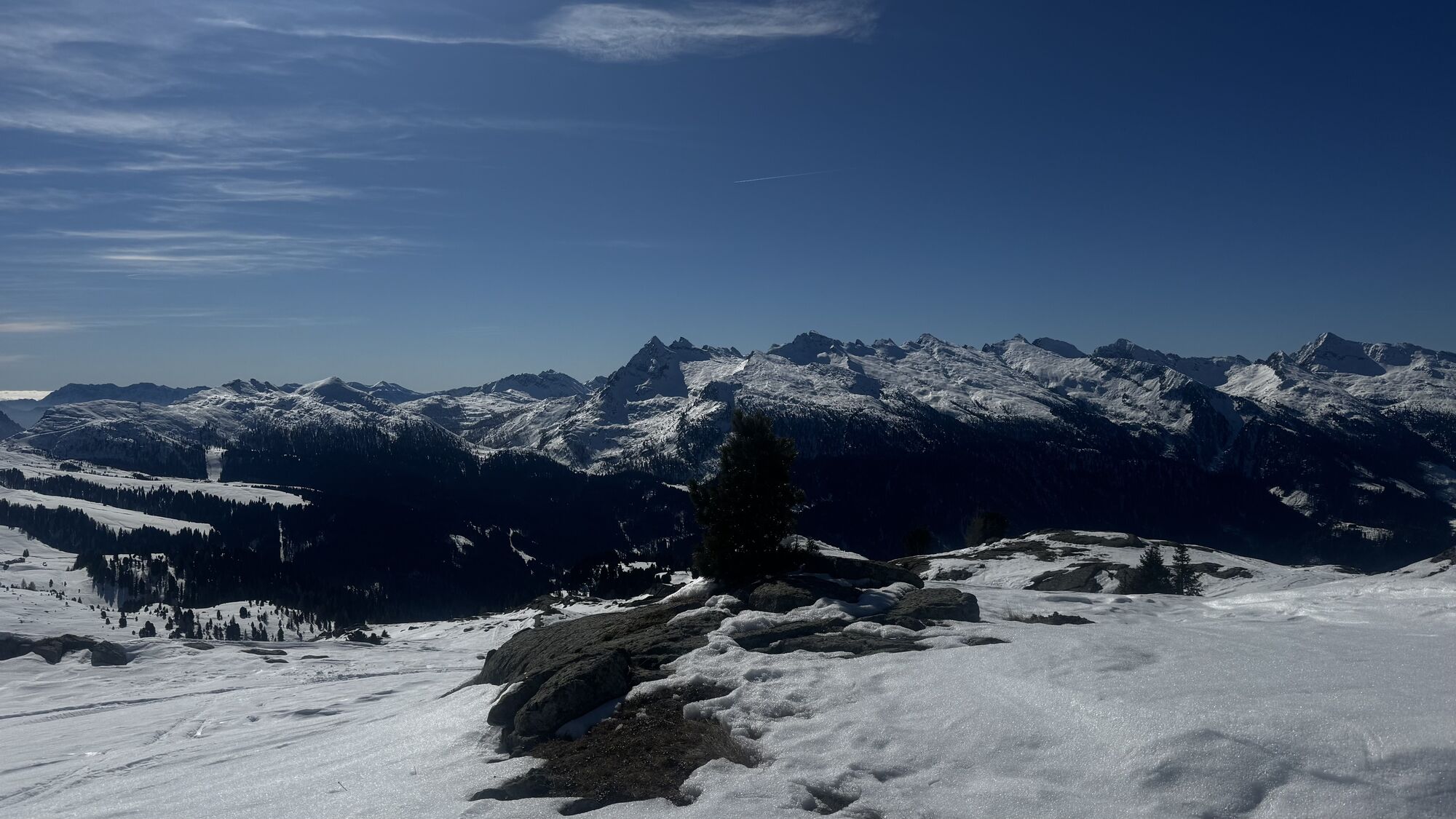
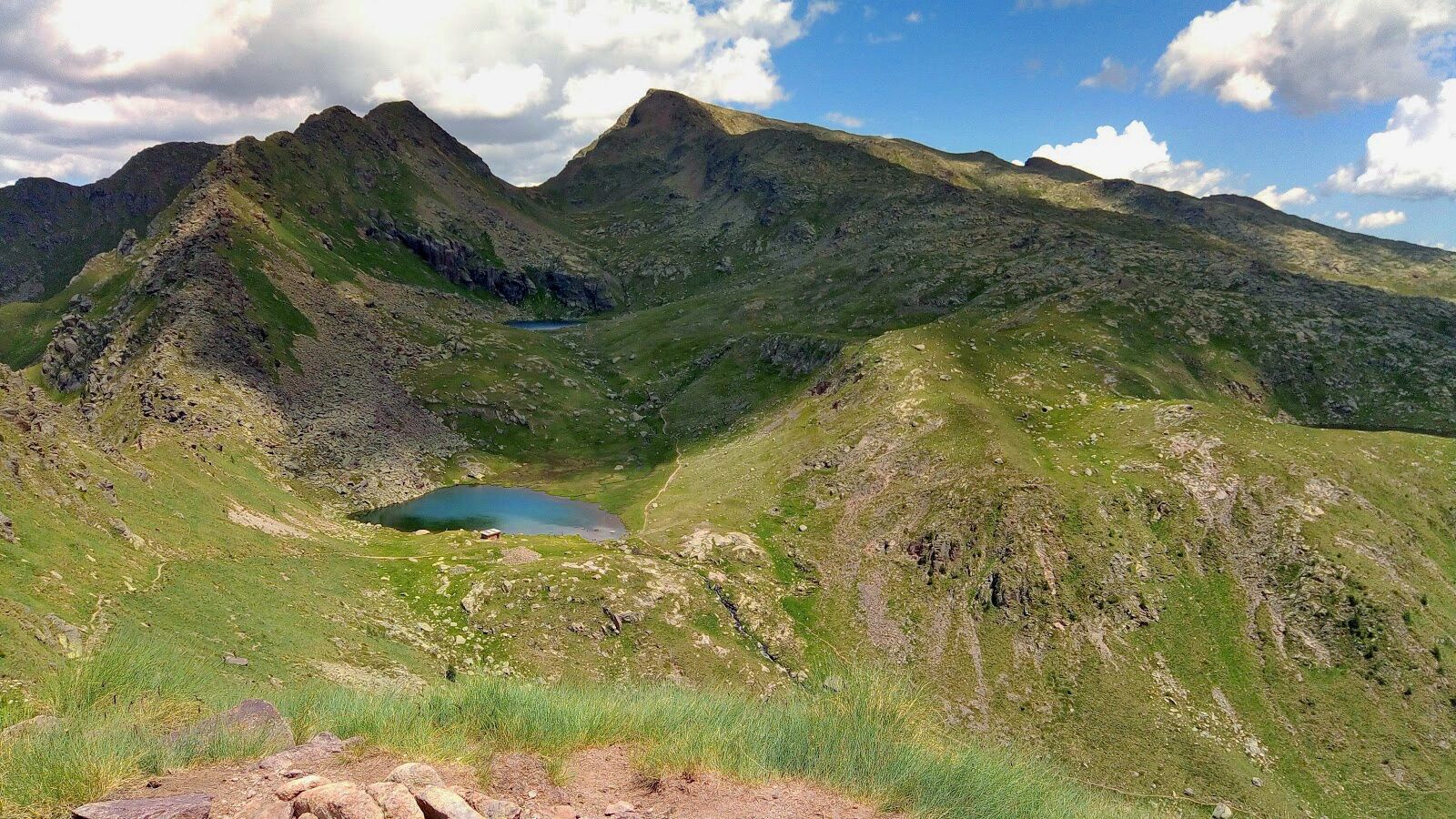
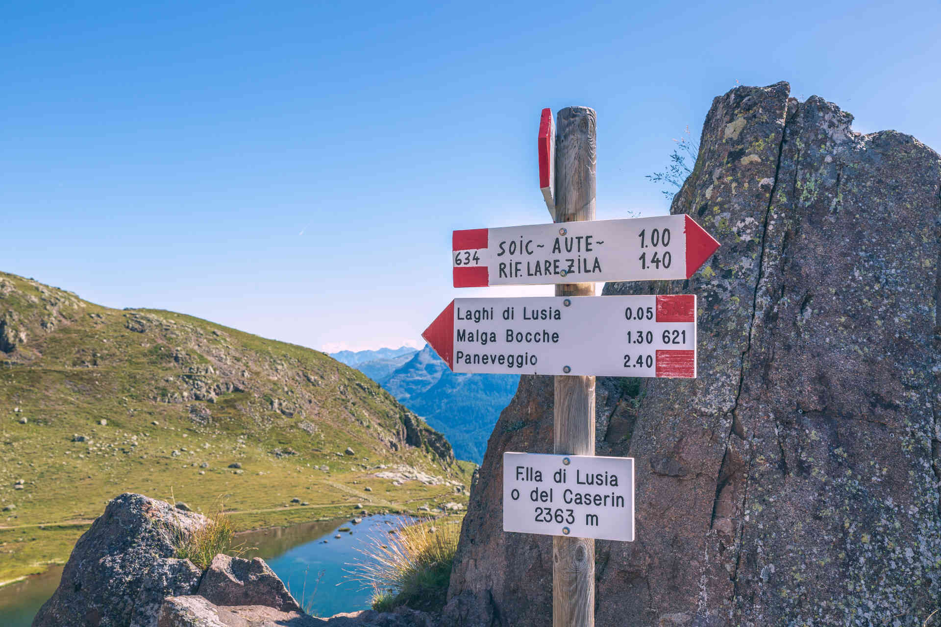
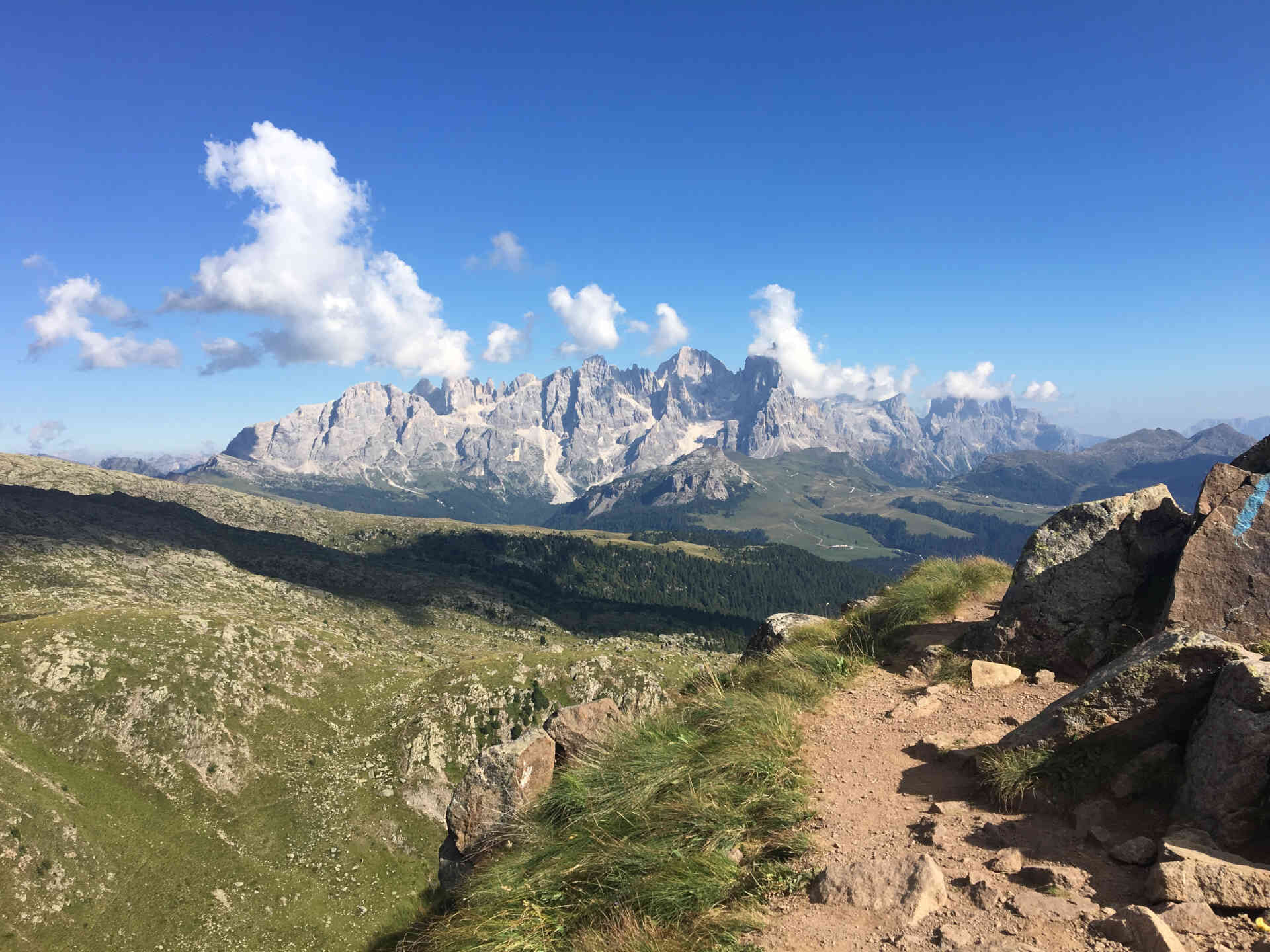
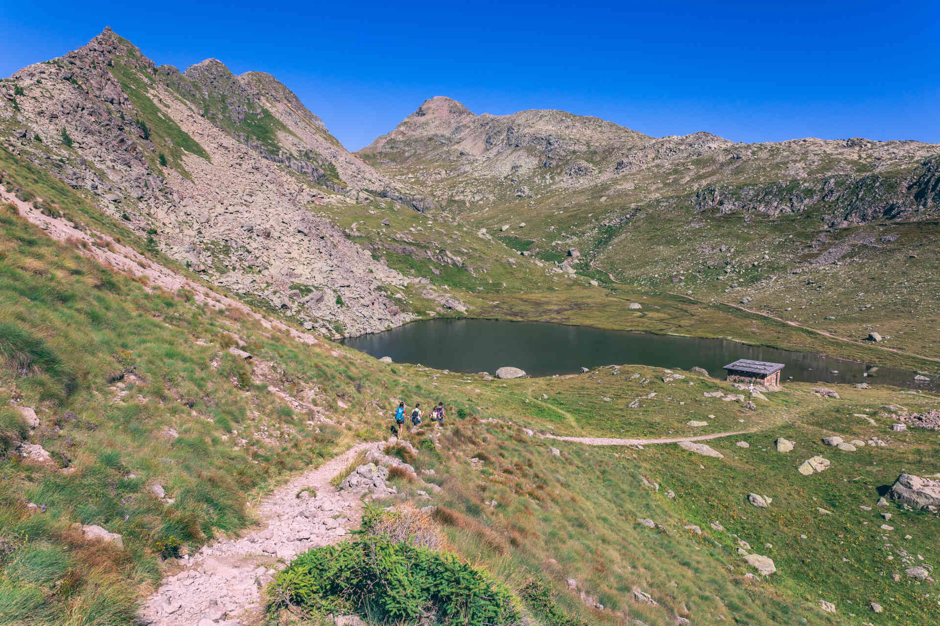
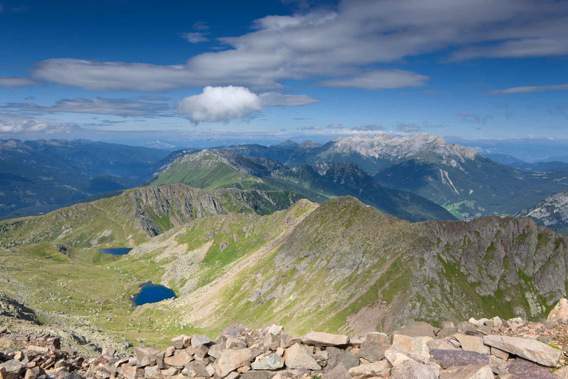
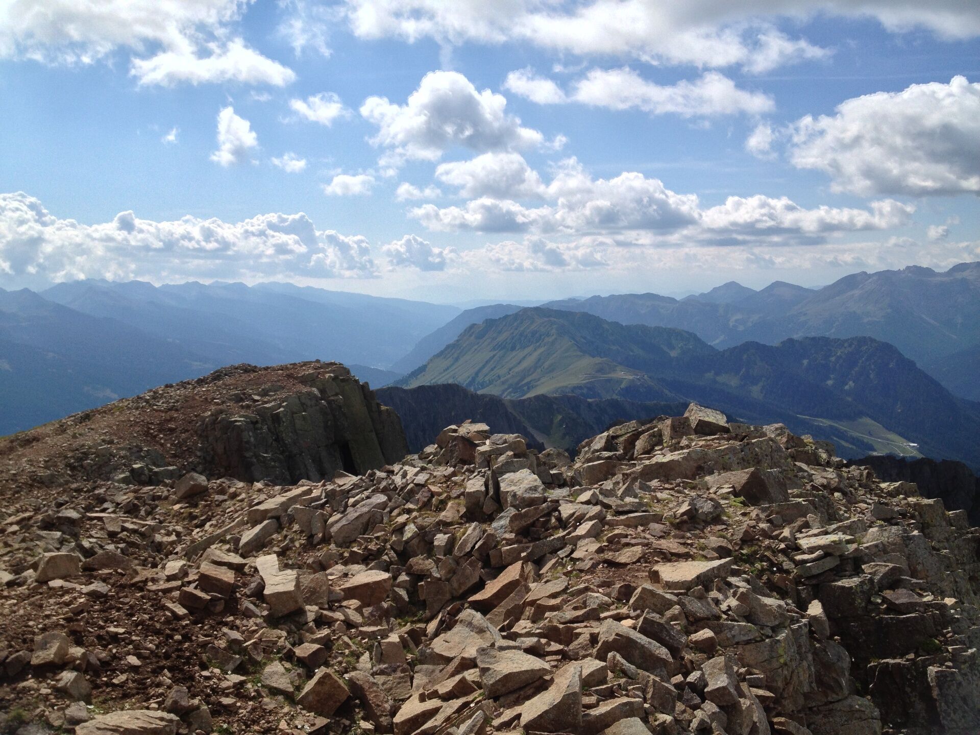
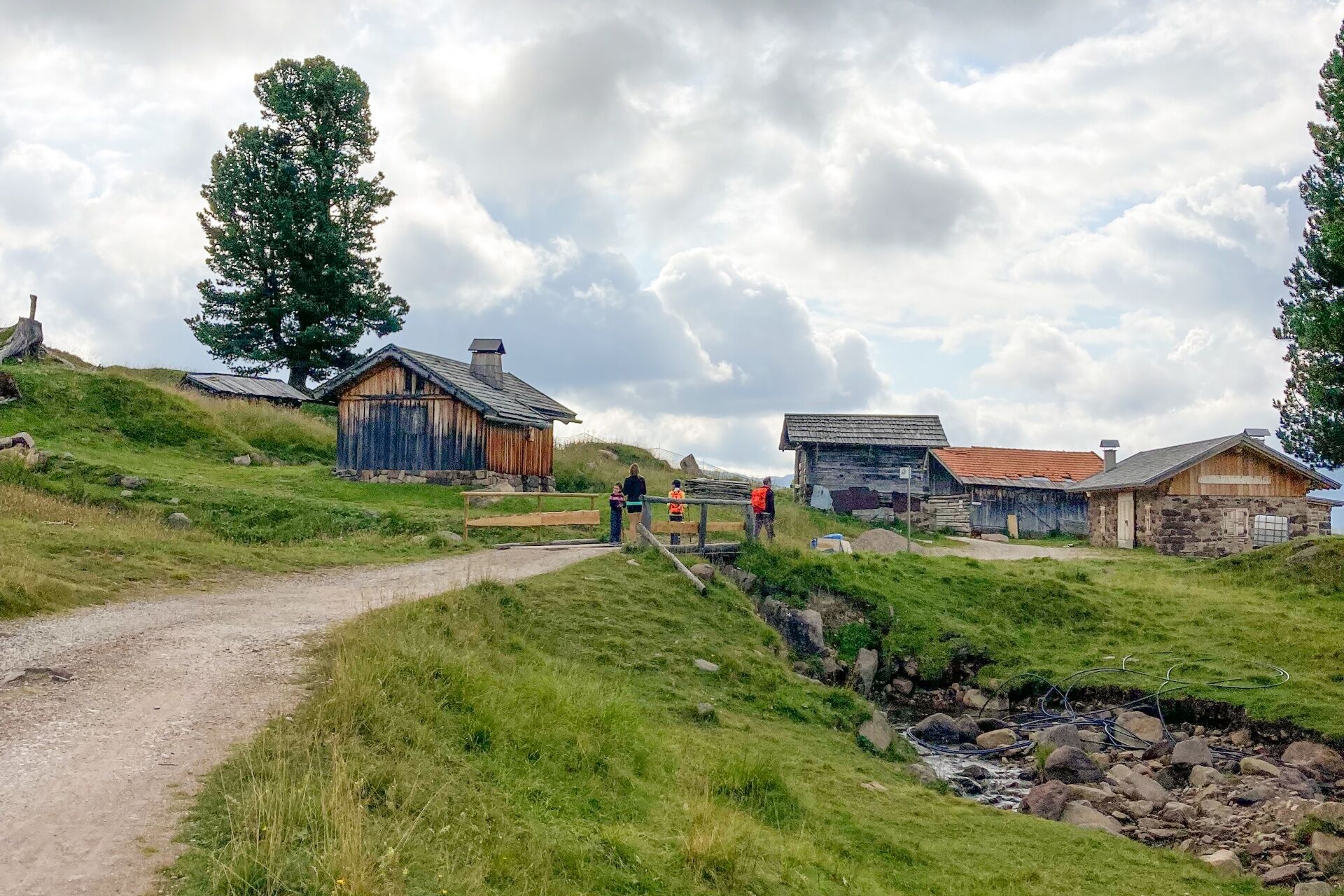
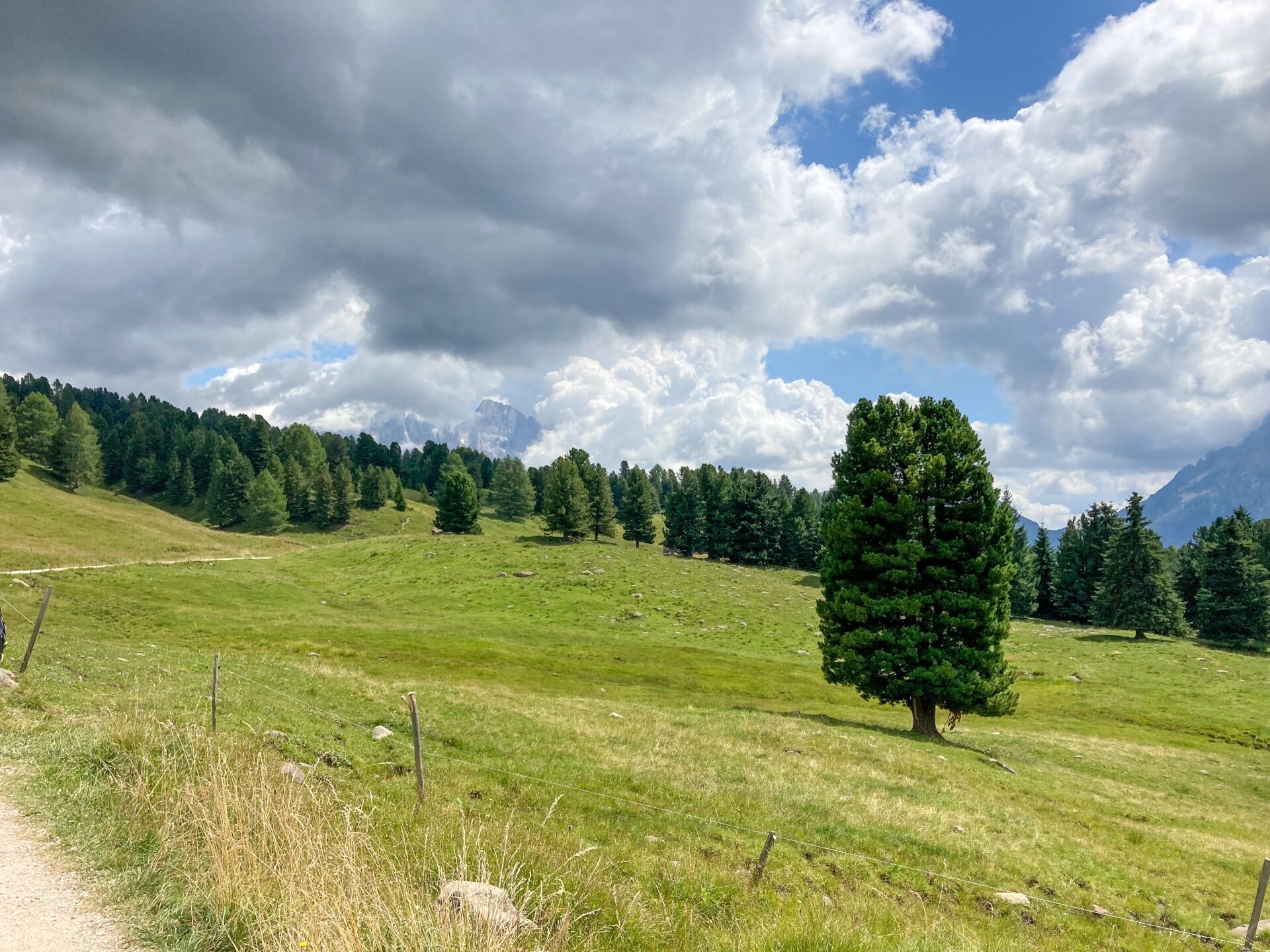
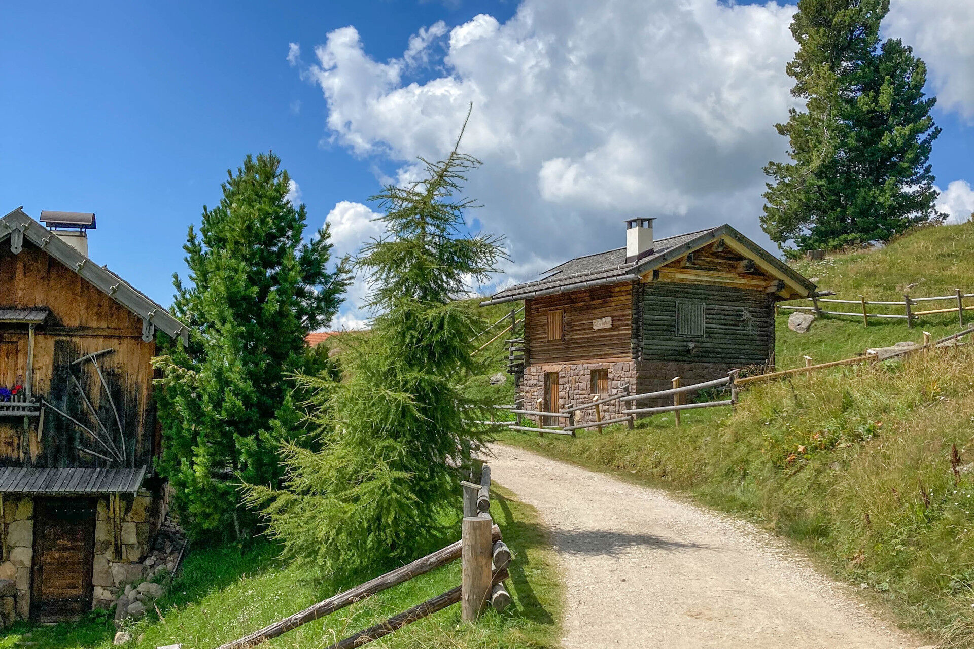
From Lusia Pass take path no. 633. Ascend through the grassy terraces at the edge of "Lasté" ski slope, alternating easy stretches with steeper sections, up to the mountain station of the ski lift (closed in the summer). On flat ground turn right and reach the cabins of "Lasté" (2,339 m). Follow the trace of a military mule track on cobblestones, which goes up along the southern porphyry balcony of "Cima Lasté" and, after a few turns, leads to "La Trincea" at 2,428 m of altitude. From this placement, where the remains of First World War’s fortifications can be seen, you overlook the solitary basin of "Lusia" lakes, dominated by "Grònton’s" porphyry ridge on the left. The path descends towards the first pond, where Sandro Redolf bivouac stands. Circumvent the lake and ascend through the pastures, at the edge of "Rif de Lujia" stream, reaching the second lake and then "Sforcela de Boce" (Bocche), end point of "Grònton" via ferrata. From the saddle, where you can see a precarious shelter, the path climbs steeply through the screes of "Cima Bocche’s" south-western ridge and, passing by many trenches, you’ll reach the flat and panoramic peak. Descend along path no. 626 on a wide, rocky ridge up to Renato Jellici bivouac, in whose vicinity you can see the ruins of a military village. Along sheltered walkways, continue descending up to "Bocche" lake. Move along its eastern side and descend to the grassy terrace where "Bait de le Vedèle" is located. The military mule track allows to quickly lose altitude. At the junction with path no. 623 keep right, popping up nearby "Malga Bocche" (dairy). Follow the handy rut (trail sign no. 623) that, touching "Malga Canvere", goes back to Lusia Pass.

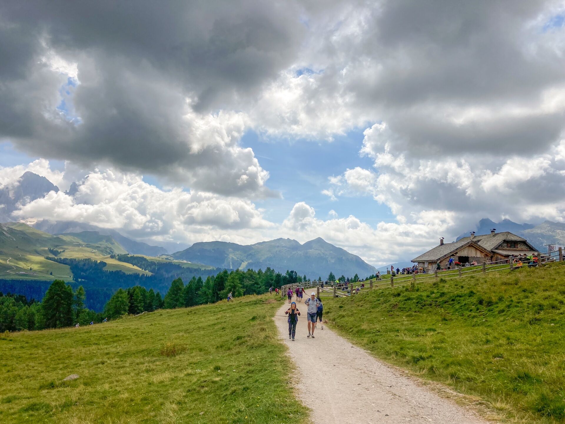
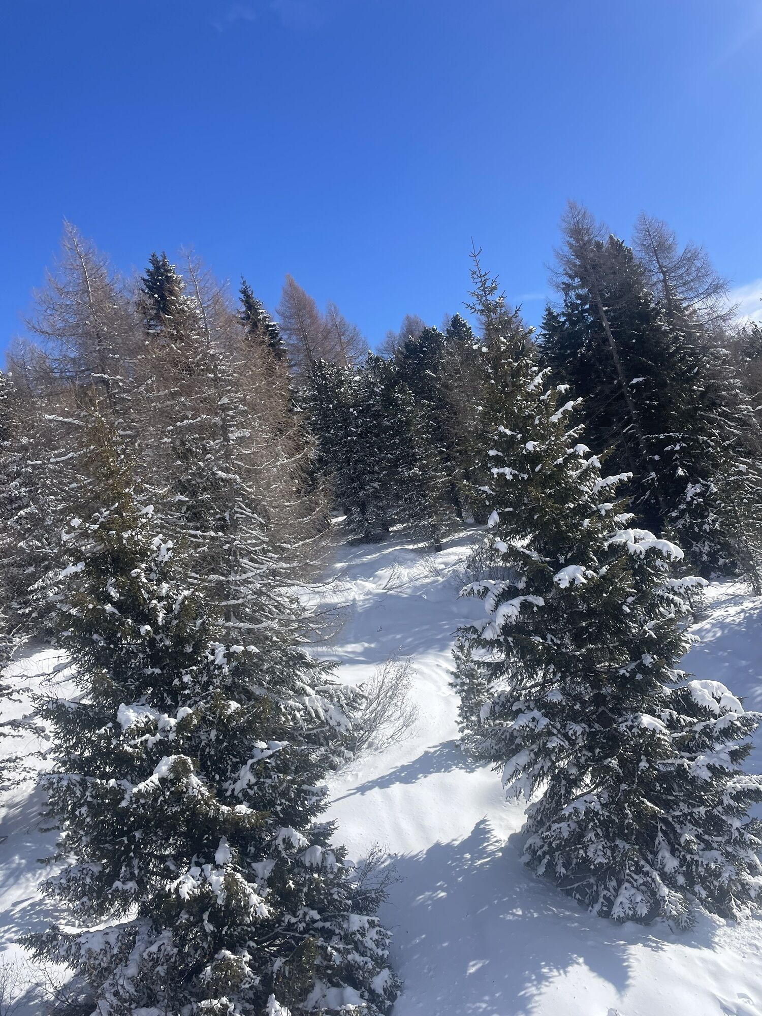
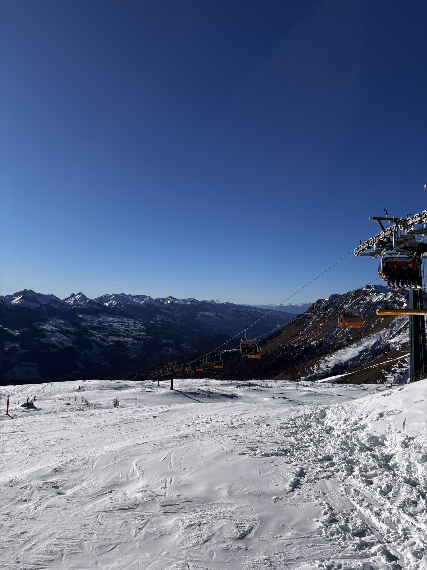
From the wide, grassy saddle of Lusia Pass, continue downhill on the dirt road that, in the woods, leads to the valley station of the lift in the "Ronchi" area.
Áno
Áno
Áno
Wear adequate clothing, footwear and equipment suitable for the length and grade of difficulty of trail to be taken. Always try to be self-sufficient and carry with you the necessary to face possible emergency situations and a first aid kit.
Plan your excursion according to your skills and the weather.
Walk slowly, enjoy the landscape and the silence.
Inform somebody about your itinerary, return time and possible changes.
Rely on professionals (Alpine and local guides).
Help those in need. Call 112 only in case of real necessity.
Make sure you have suitable clothes and equipment + some water and snacks.
Respect the environment around you and its inhabitants. Bring back your rubbish.
Follow the marked trails avoiding those in the bike park.
To protect the wonders of nature, leave everything in its place.
Bring your pet along, but keep it on a leash.
Other accesses to the Val di Fassa
from the A27 (Venice) motorway, exit Belluno/Ponte nelle Alpi, S.S. 203 for Agordo and S.P. 346 Passo San Pellegrino - Moena (Val di Fassa). From the Moena bypass towards Canazei from the A27 (Venice) motorway, exit Belluno/Ponte nelle Alpi, S.S. 203 for Agordo/Alleghe/Rocca Pietore. S.P. 641 Passo Fedaia - Canazei coming from Arabba, S.S. 48 Passo Pordoi - Canazei from Val Gardena, S.S. 242 Passo Sella - CanazeiPublic transport lines SAD - Val di Fassa:â¯
line no. 180 Vigo di Fassa - Carezza Pass - Bolzano line no. 471 Dolomites passes (Sella Pass, Gardena Pass, Campolongo Pass, Pordoi Pass, Fedaia Pass). Service available in summer onlyFree parking at the valley station of the cabin lift.
Strèda Roma, 36
38032 Canazei (TN)
Phone +39 0462 609500
info@fassa.com
www.fassa.com
Webové kamery z prehliadky
-
Marmolada
-
Col Margherita
-
Col Margherita
-
Col Margherita
-
Falcade
-
Le Buse
-
Le Buse
-
Le Buse
-
Costabella
-
Costabella
-
Costabella
-
Costabella
-
Costabella
-
Col Margherita
-
Col Margherita
-
Col Margherita
-
Col Margherita
-
Castelir
-
Castelir
-
Castelir
-
Castelir
-
Castelir
-
Castelir
-
Passo Rolle
-
Moena - San Pellegrino Pass / Chalet Isabella
-
Col Margherita Sud
-
Col Margherita Sud
-
Col Margherita Sud
Obľúbené výlety v okolí
-
4,8
Santnerpass Klettersteig
strednáVia ferrata 8,29 km -
4,8
Torre di Pisa mountain hut
strednáTuristika 9,09 km -
4,7
Passo Costalunga - Sella del Ciampaz
strednáTuristika 8,35 km -
5,0
Ciampedie - Gardeccia - Refuges Vajolet and Preuss - Refuge Re Alberto I - Gardeccia - Ciampedie
ťažkéTuristika 11,8 km -
5,0
Ciampedie - Gardeccia - Principe Pass - Antermoia Refuge - Val Duron - Campitello
ťažkéTuristika 18,7 km -
4,7
Stage 1 Dolomiti Trek King in autumn - Catinaccio
ťažkéTuristika 15,3 km -
5,0
Latemar Umrundung - die Kurze und Bequeme
strednáTuristika 12,1 km -
4,5
Kölner Hütte - Hirzelsteig - Rotwandhütte - Baita Tre - Karerpass
strednáTuristika 9,56 km -
4,4
Cavallazza Peak
strednáTuristika 7,82 km -
5,0
Rosengarten: Cigoladepass und Fassaner Höhenweg
strednáTuristika 15,6 km
Turistika a stopovanie


Nenechajte si ujsť ponuky a inšpiráciu na ďalšiu dovolenku
Vaša e-mailová adresa bol pridaný do poštového zoznamu.