






Sora i Prè: Pera - Pozza - Vigo
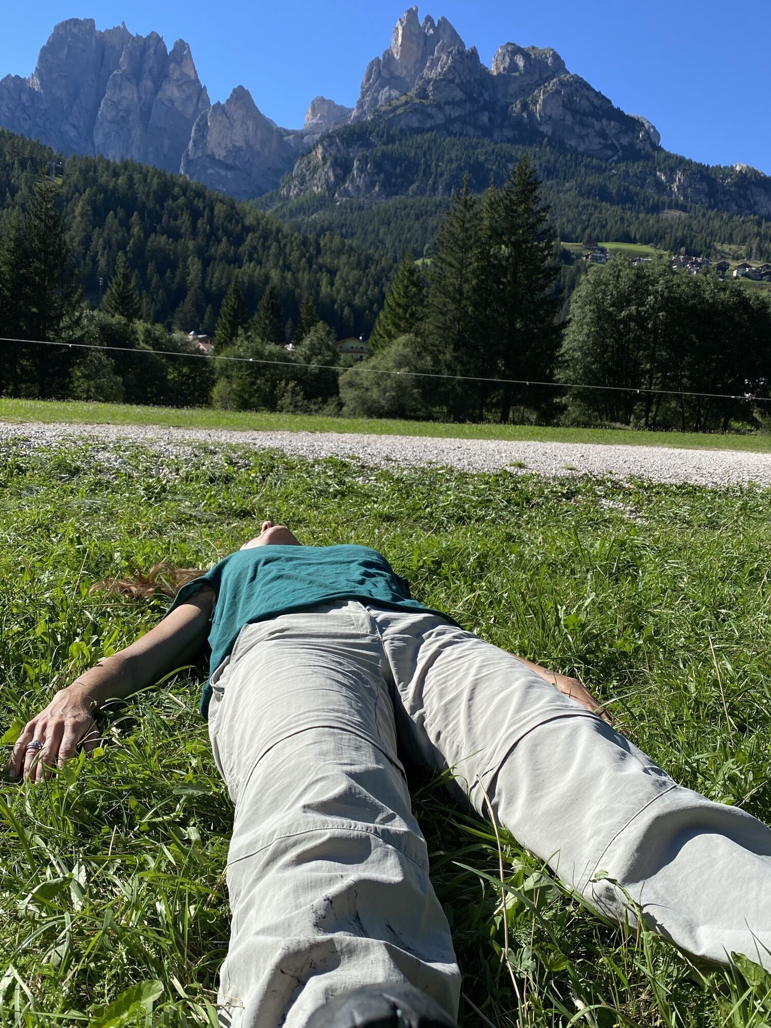
This beautiful walk connects the villages of Pera and Pozza to Vigo through a panoramic track unfolding at the lower foot of "Ciampedìe" between the wood and the meadows of "Sorapoza". This amusing track...
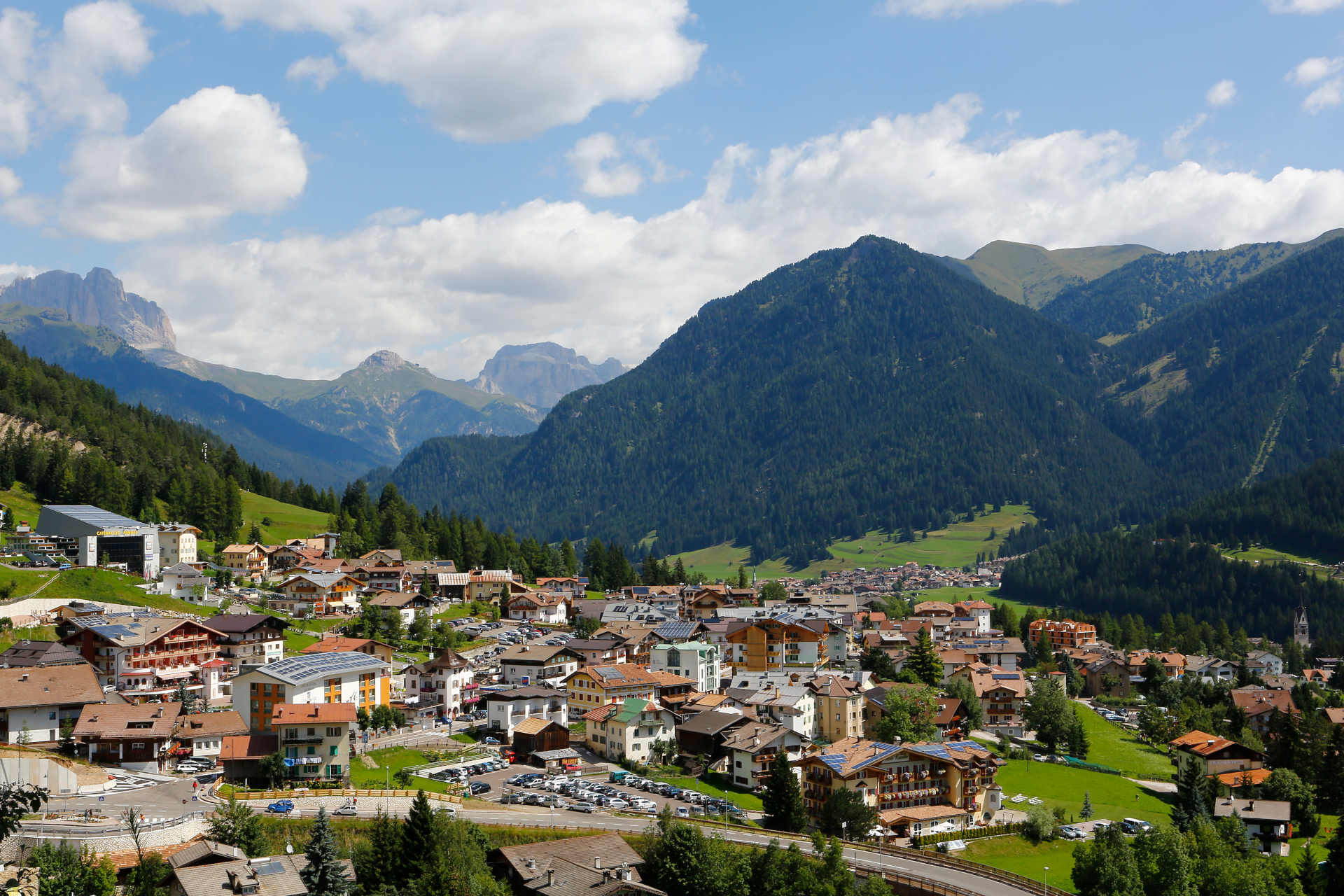
This beautiful walk connects the villages of Pera and Pozza to Vigo through a panoramic track unfolding at the lower foot of "Ciampedìe" between the wood and the meadows of "Sorapoza". This amusing track alternates even sections and slight slopes and proceeds with pleasant twists and turns connecting the many little valleys going down through the wood. The path is mostly shady and is equipped with tables and benches placed in the most open and panoramic points. The route starts from "Strada de la Taboca" in Pera di Fassa. Leave the last few houses turning right and climb up to a bend in the dirt road: here turn left and walk through the meadows. After a first flat section, the gradient increases gradually until you arrive at the wood. Head for Pozza (you can also start the route from here, thanks to an easy entry through "Troi de Vich" and "Strada de Chieva") and for Vigo: do not miss the fantastic view over "Costabella" and the "Valacia" range on your left. Entering through "Strada de Piz" in a few minutes you arrive to the centre of Vigo.

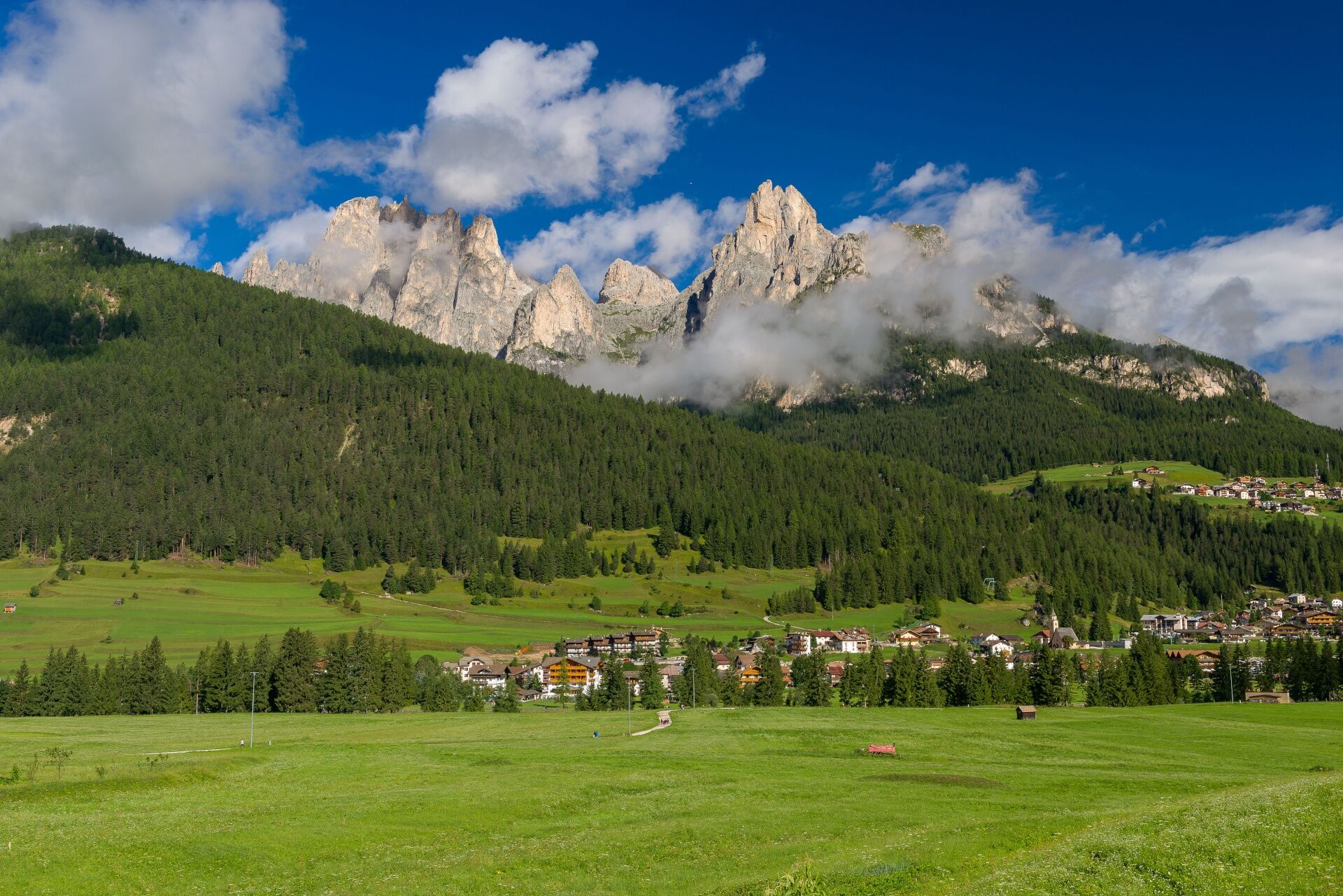
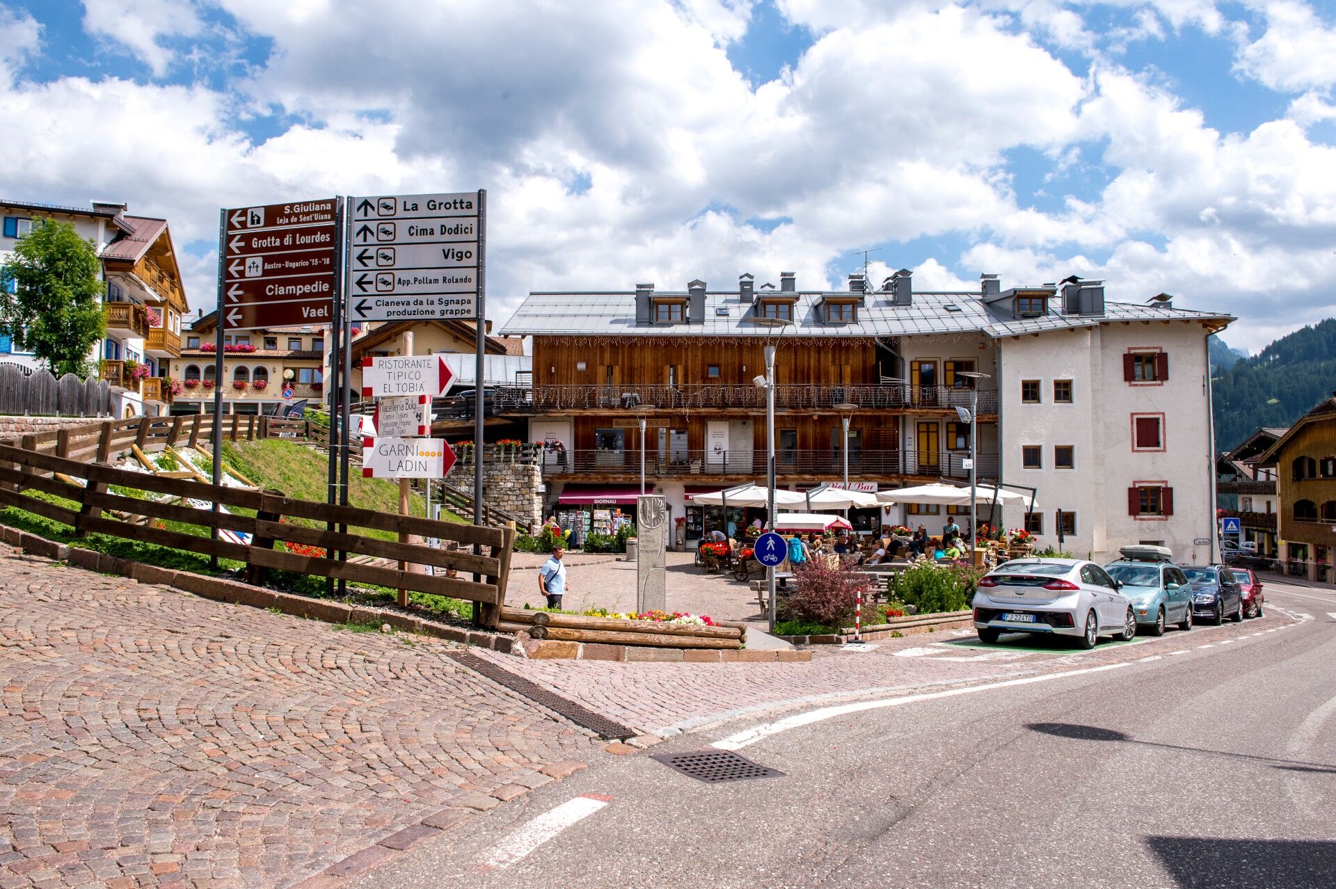
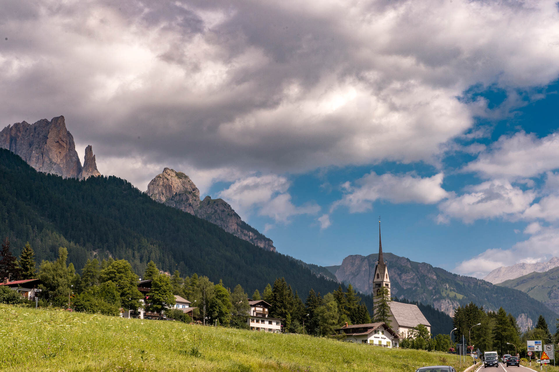
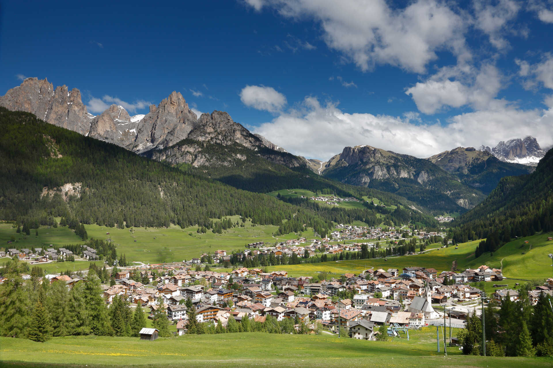
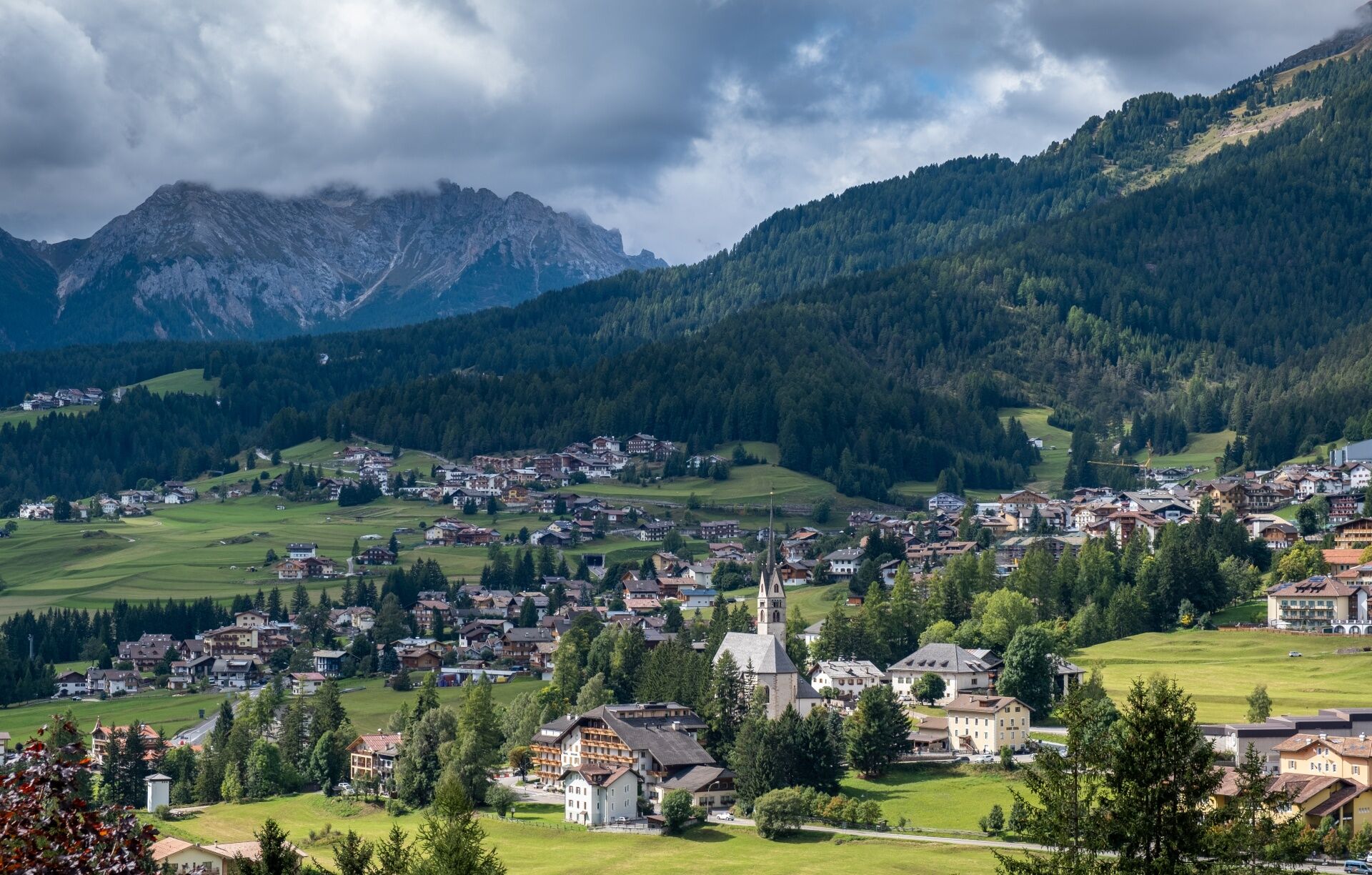
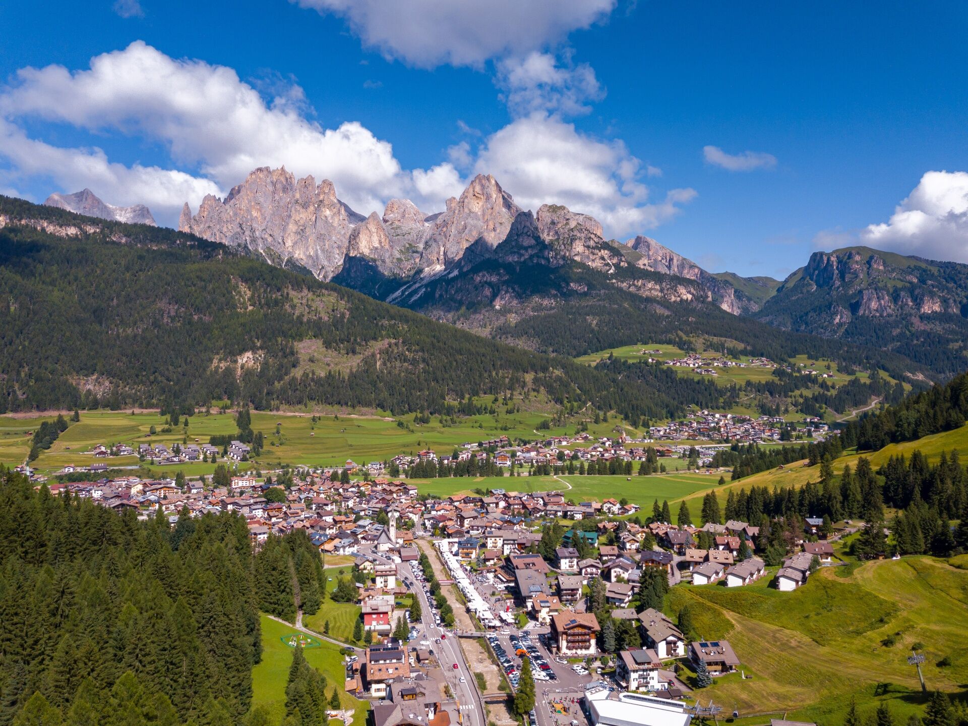
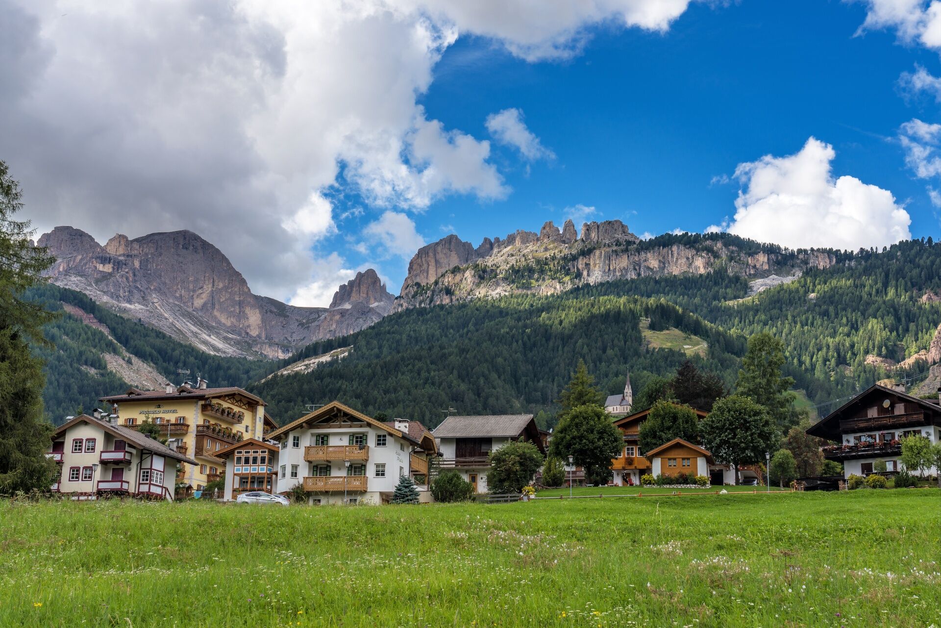

The route starts from "Strada de la Taboca" in Pera di Fassa (opposite the supermarket Margherita-Fassa Coop in Strada Dolomites).
The walk ends in Vigo. Come back to Pozza along the same track or, from the centre of Vigo, descend along "Strada Roma" street and "Strada de Troi de Vich" street till you reach "Minigolf Panorama" (on the right). Take "Troi de Vich" street on your left, that comes out on the main road of Pozza, from where you can reach the centre of "Meida" in few minutes.
Áno
Áno
Carry in your backpack the necessary to face possible emergency situations, and a first aid kit.
2.Walk slowly, enjoy the landscape and the silence.
3. Inform somebody about your itinerary, return time and possible changes.
4. Rely on professionals (mountain and hiking guides).
5. Help those in need. Call 112 only in case of real necessity.
6. Make sure you have suitable clothes and equipment + some water and snacks.
7. Respect the environment around you and its inhabitants. Bring back your rubbish.
8. Follow the marked trails avoiding those in the bikepark.
9. To protect the wonders of nature, leave everything in its place.
10. Bring your pet along, but keep it on a leash.
Other access points to Val di Fassa:
from A27 motorway (Venezia), exit Belluno/Ponte nelle Alpi, S.S. 203 to Agordo and S.P. 346 to San Pellegrino Pass - Moena (Val di Fassa). At the roundabout in Moena, proceed towards Canazei from A27 motorway (Venezia), exit Belluno/Ponte nelle Alpi, S.S. 203 to Agordo/Alleghe/Rocca Pietore. S.P. 641 to Fedaia Pass - Canazei coming from Arabba, S.S. 48 to Pordoi Pass - Canazei from Val Gardena, S.S. 242 to Sella Pass - CanazeiPublic transport lines SAD - Val di Fassa:
line no. 180 Vigo di Fassa - Carezza Pass - Bolzano- Nearest bus stop (Trentino Trasporti/SAD): Vigo di Fassa > Strada Neva/Hotel Carpe Diem
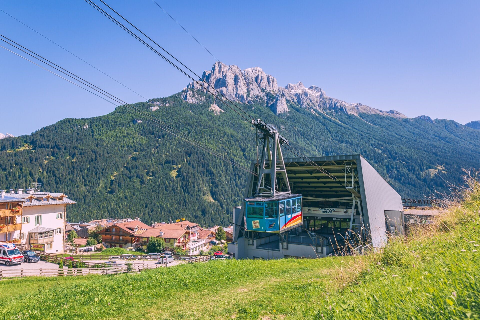
Parking is in the immediate vicinity of the valley station of the Catinaccio cable car.
Strèda Roma, 36
38032 Canazei (TN)
Phone +39 0462 609500
info@fassa.com
www.fassa.com
We recommend the use of walking poles. This path is suitable for families with children and is accessible with a baby carrier.
Získajte prehľad
Vždy naživo na mieste s viac ako 9 500 webovými kamerami. bergfex Ako používateľ Pro si teraz môžete pozrieť príslušné webové kamery pre mnohé zájazdy v aplikácii zájazdy z. Môžete si tak priamo prezerať aktuálne podmienky.
Obľúbené výlety v okolí
-
4,6
Pordoi Pass - Sass Pordoi - Forcella Pordoi - Piz Boè - Boè Refuge - Forcella Pordoi - Pordoi Pass
ťažkéTuristika 8,39 km -
5,0
Um den Langkofel
strednáTuristika 9,76 km -
4,9
Lang- und Plattkofel Umrundung
strednáTuristika 17,5 km -
4,8
Santnerpass Klettersteig
strednáVia ferrata 8,29 km -
4,8
Langkofel-Umrundung
strednáTuristika 12,9 km -
4,7
Puflatsch Umrundung
svetloTuristika 8,37 km -
4,0
Der Friedrich-August-Weg
strednáTuristika 10,4 km -
5,0
Langkofel Klettersteig/Ferrata Furcela de Saslonch
ťažkéVia ferrata 7,07 km -
4,8
Schlern Bersteigung
strednáTuristika 19,1 km -
4,7
Compatsch - Piz - Saltria - Joch - Compatsch
strednáTuristika 16,8 km
Turistika a stopovanie


Nenechajte si ujsť ponuky a inšpiráciu na ďalšiu dovolenku
Vaša e-mailová adresa bol pridaný do poštového zoznamu.





