







Mazzin - Ronch - Pera - Mazzin

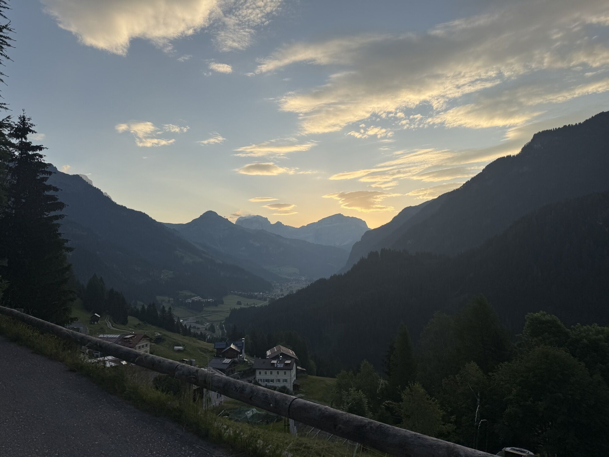


Start from the centre of Mazzin. Cross the bridge over the stream "Ruf de Udai" heading south, continue for a short while along "Strèda de Col da Chieve" and climb to the right along a dirt road. The little...
Start from the centre of Mazzin. Cross the bridge over the stream "Ruf de Udai" heading south, continue for a short while along "Strèda de Col da Chieve" and climb to the right along a dirt road. The little road, which goes uphill but with a moderate and well distributed gradient, leads to a bend on the road towards "Muncion". Climb this road for approximately 300 metres until you arrive at the village of "Ronch". When you are in front of a beautiful barn (the first building you find on the right-hand side), go downhill to the left along a country path, which will soon even up. Here you can take a pleasant walk through grassy clearings and groups of firs. The route is now downhill, running along the meadows below "Muncion". Walk parallel to the track of the "Via Crucis" (the Way of the Cross) and, as the descent becomes steeper, leave the large track and turn right on the plain through the wood. As you come out, you will see an old barn which has been renovated. Go down to the left and enter the quarter "Rualp". Past the bridge over "Ruf de Soal", continue along "Strada Ciadenac" and after crossing the national road through "Strada Jumela", you will arrive at the wooden bridge over the "Avisio" river. Cross the bridge, turn left into the road that follows the flow of the torrent. Climb a steep but short ramp and you will soon arrive beyond the bridge over the "Avisio" below Mazzin. Climb "Strèda de Chiavacia" first, then "Strèda dò Ruf" and enter the village.

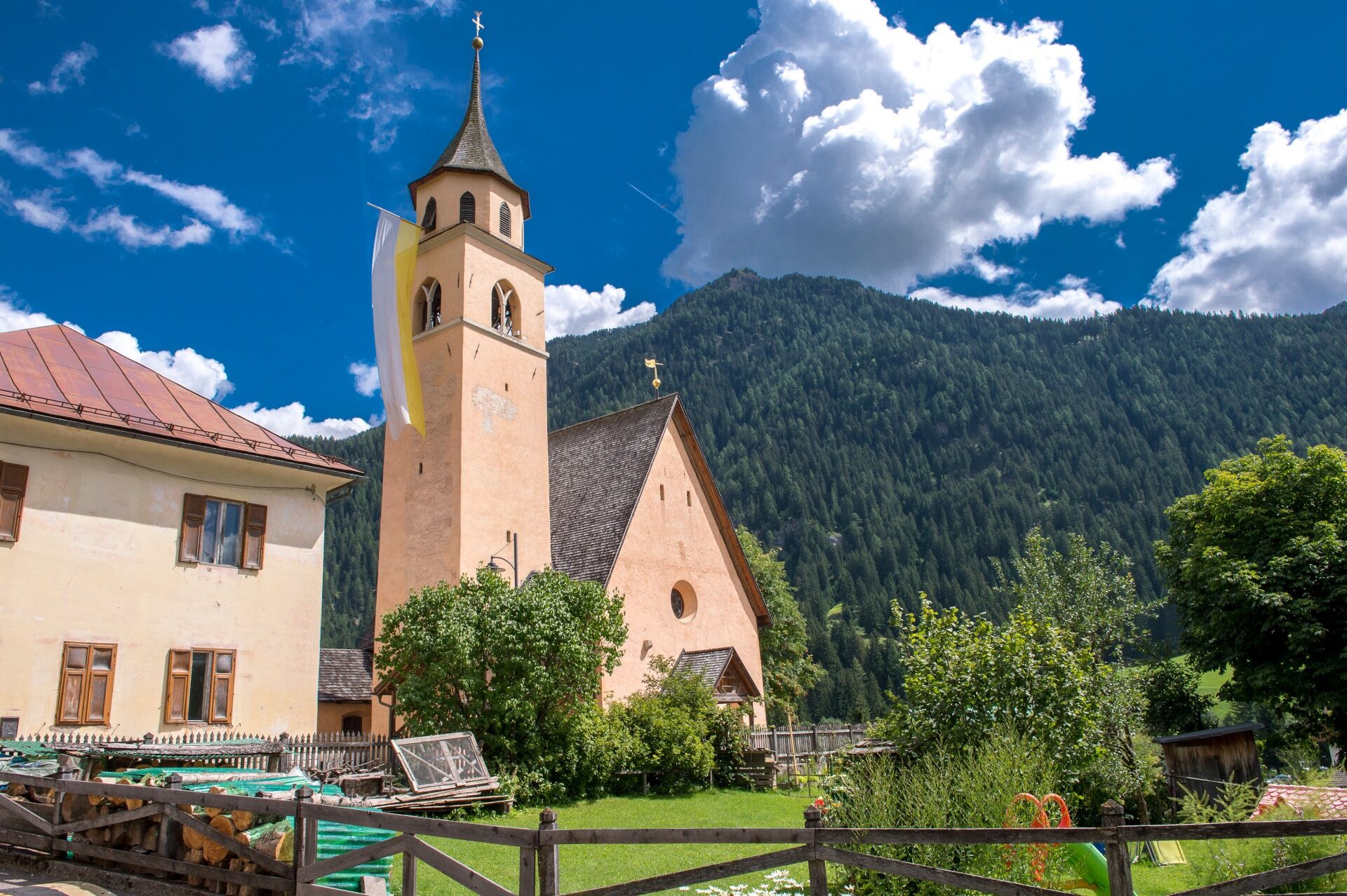
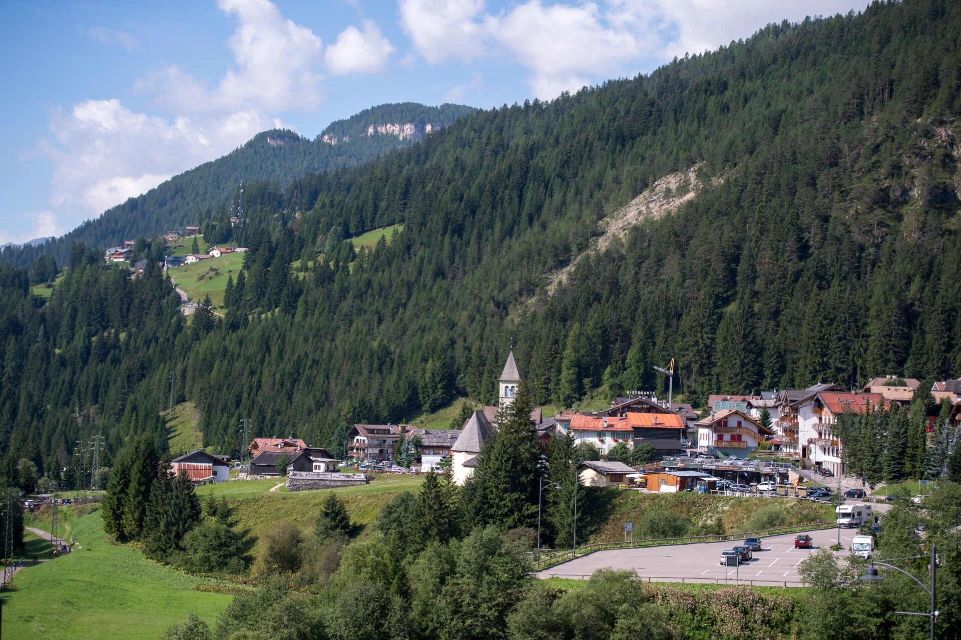
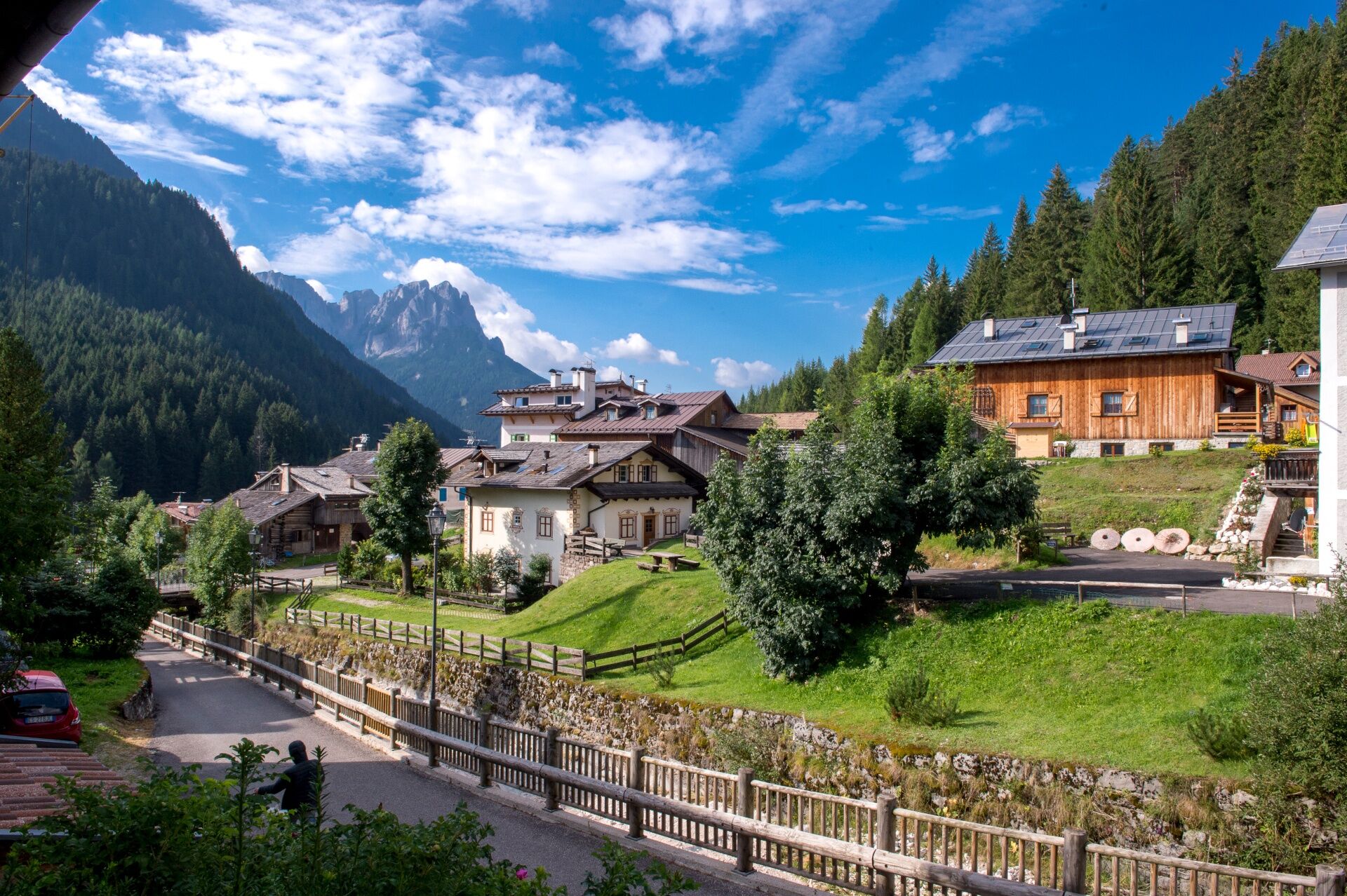
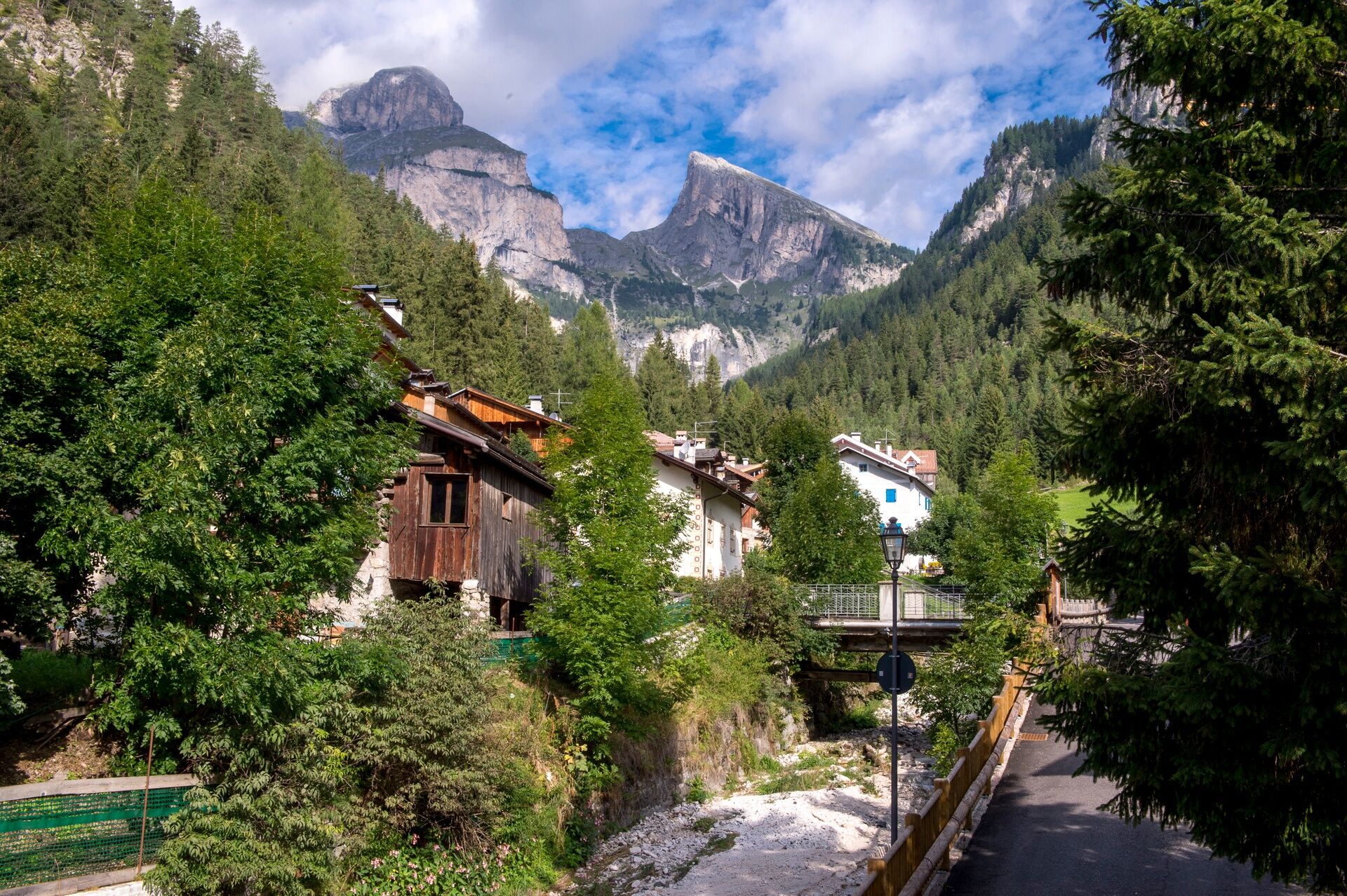
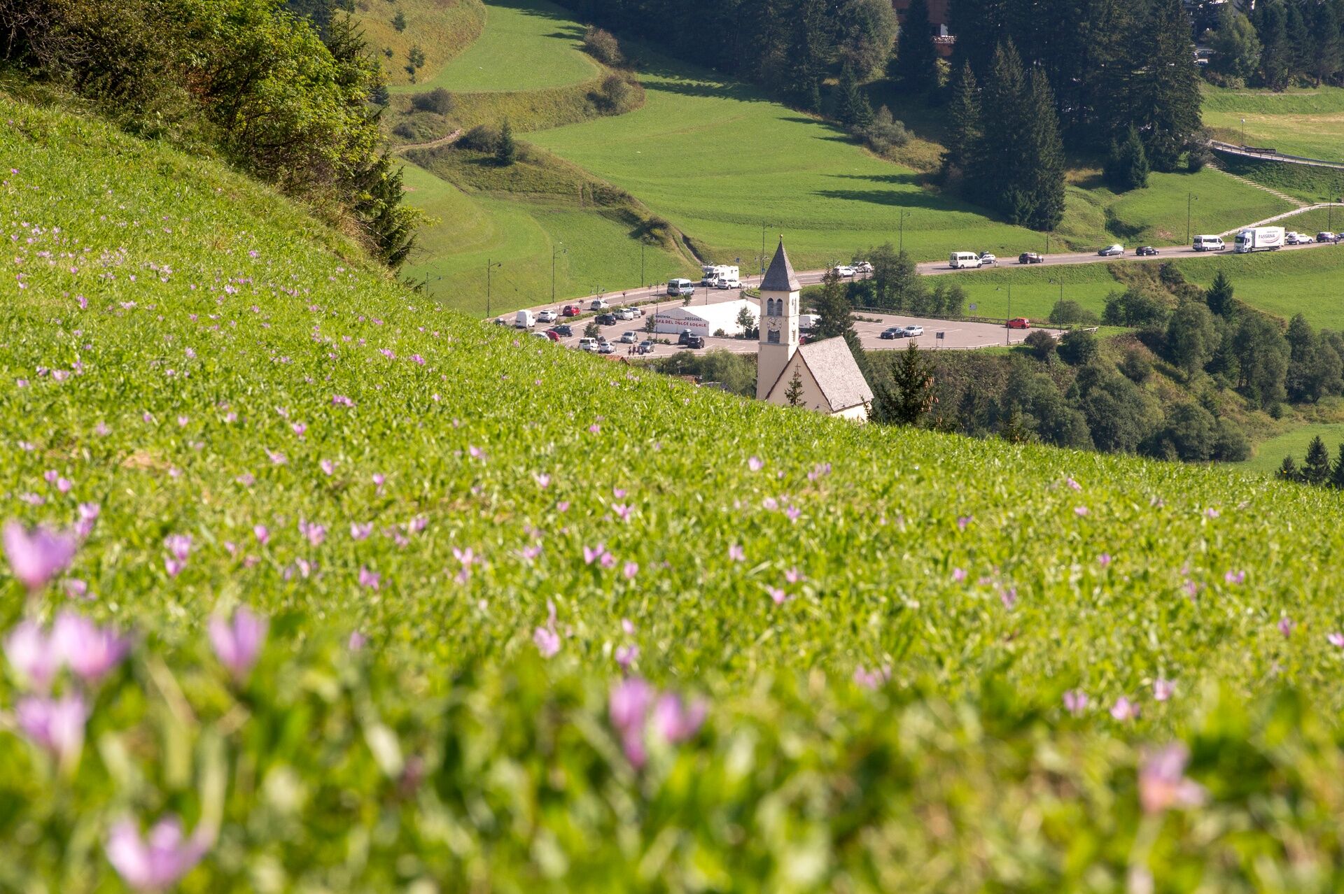
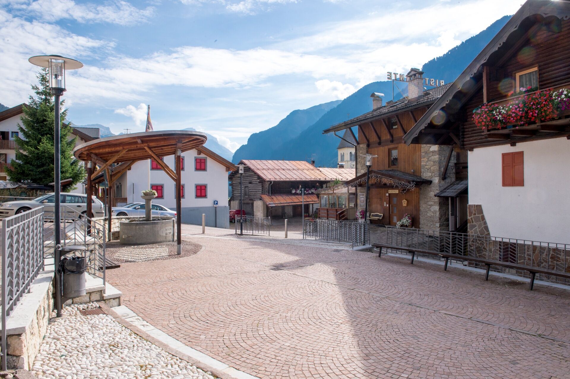
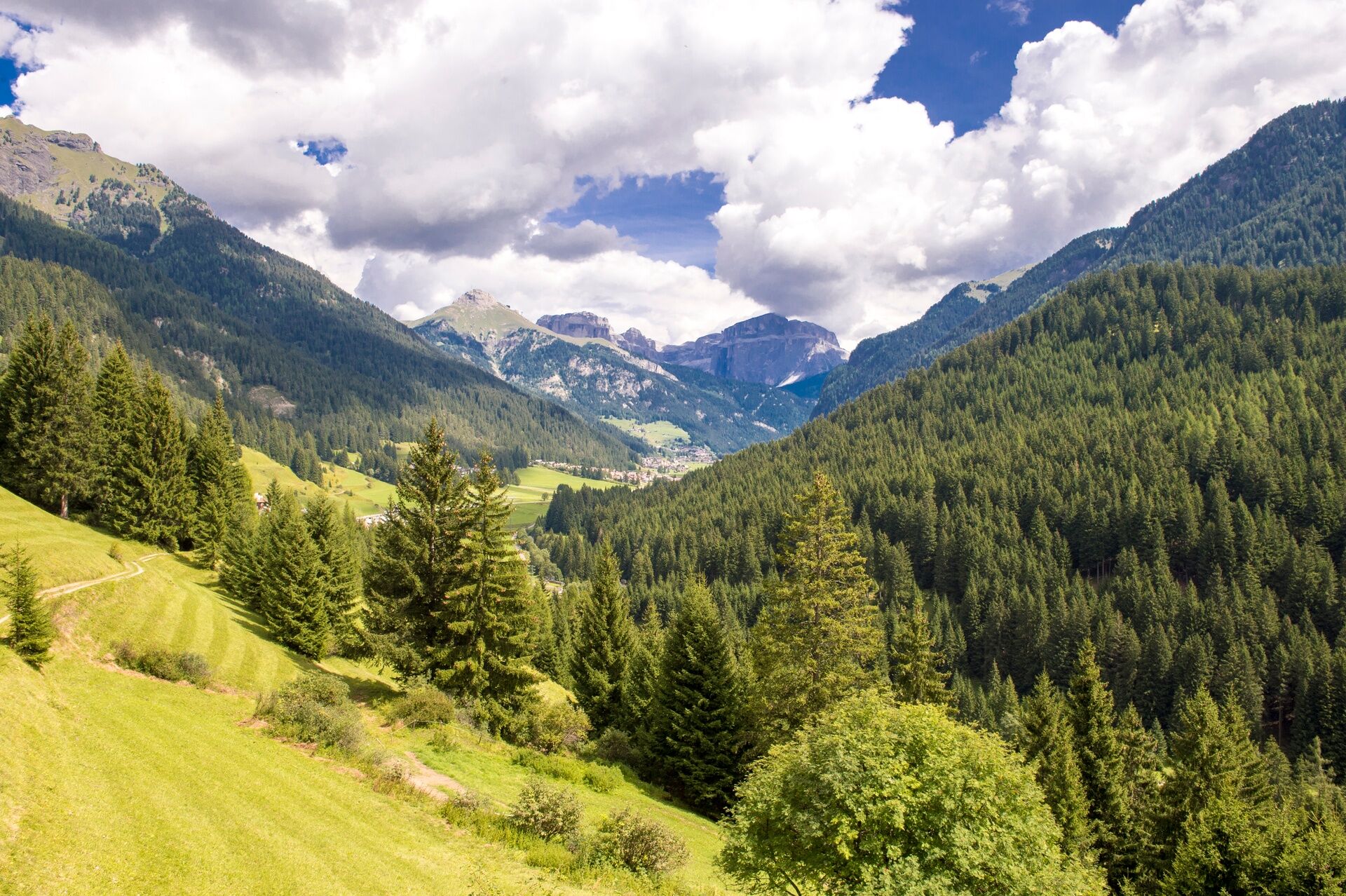
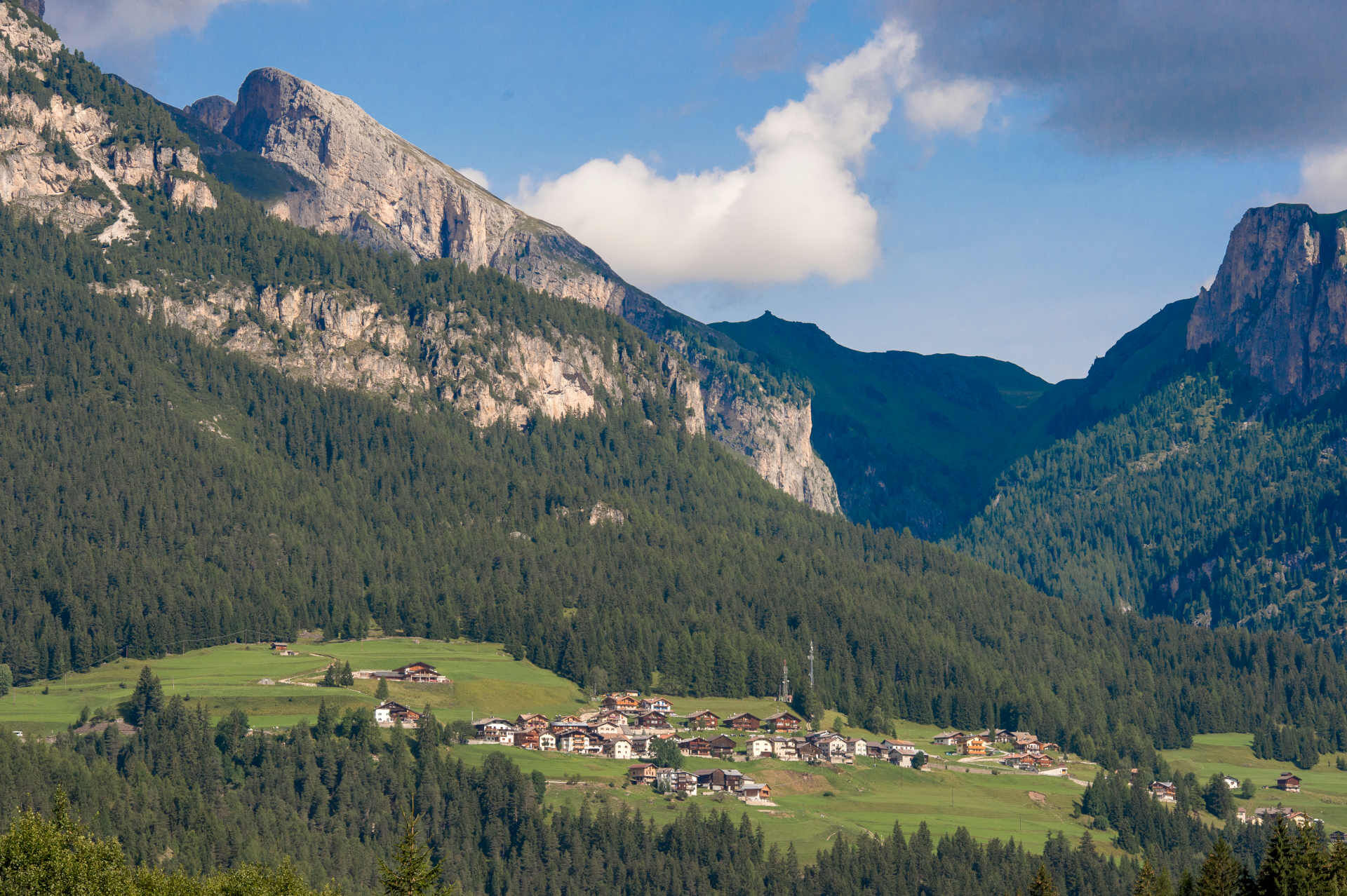
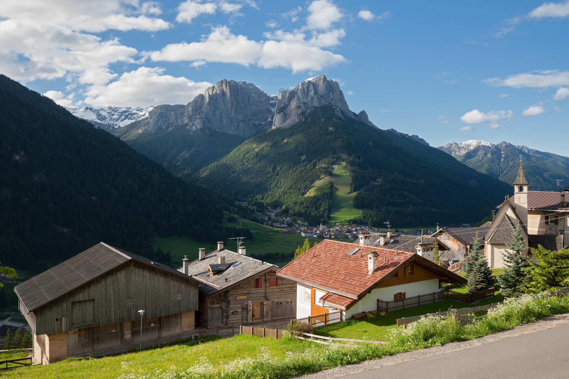
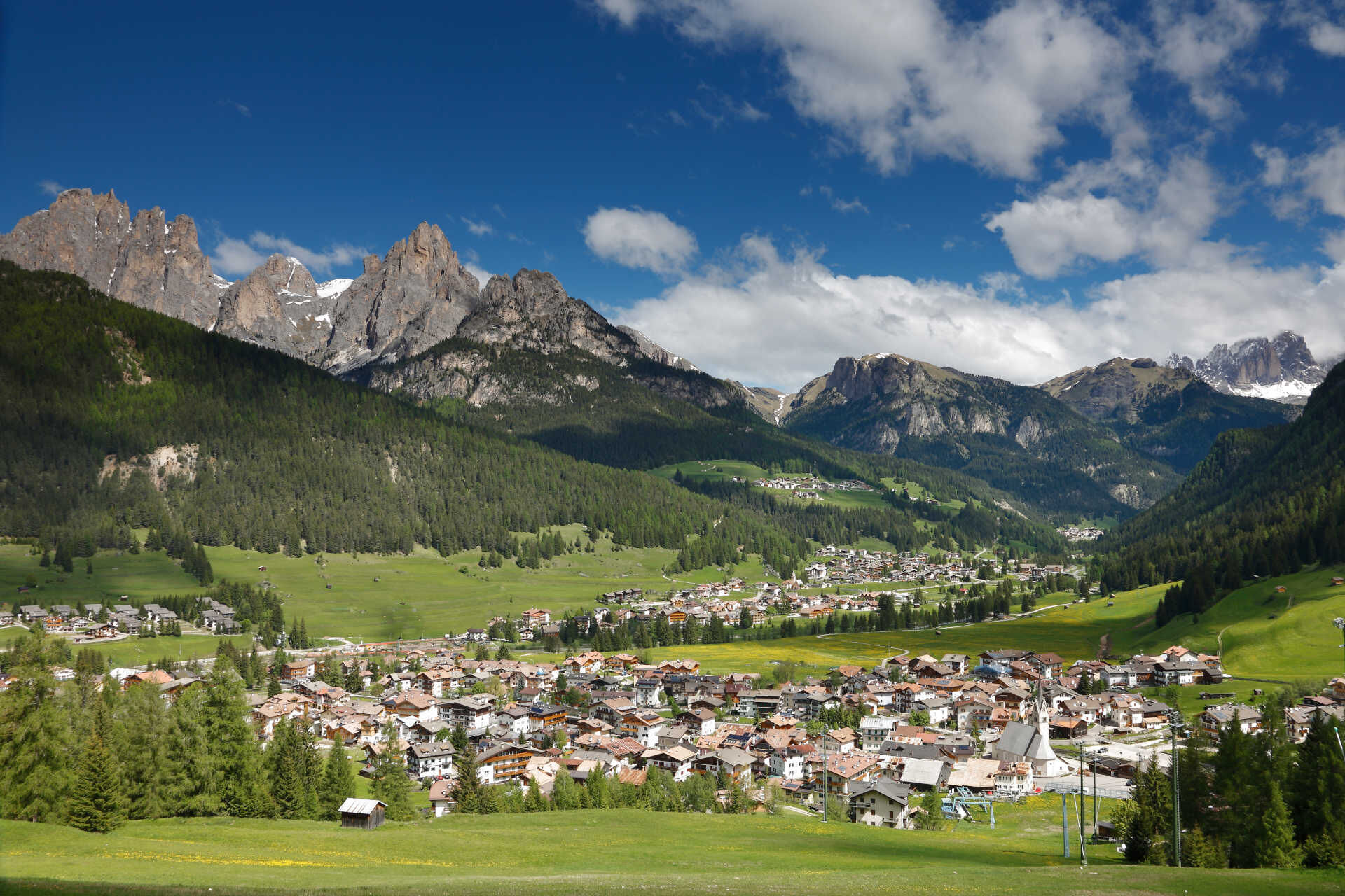
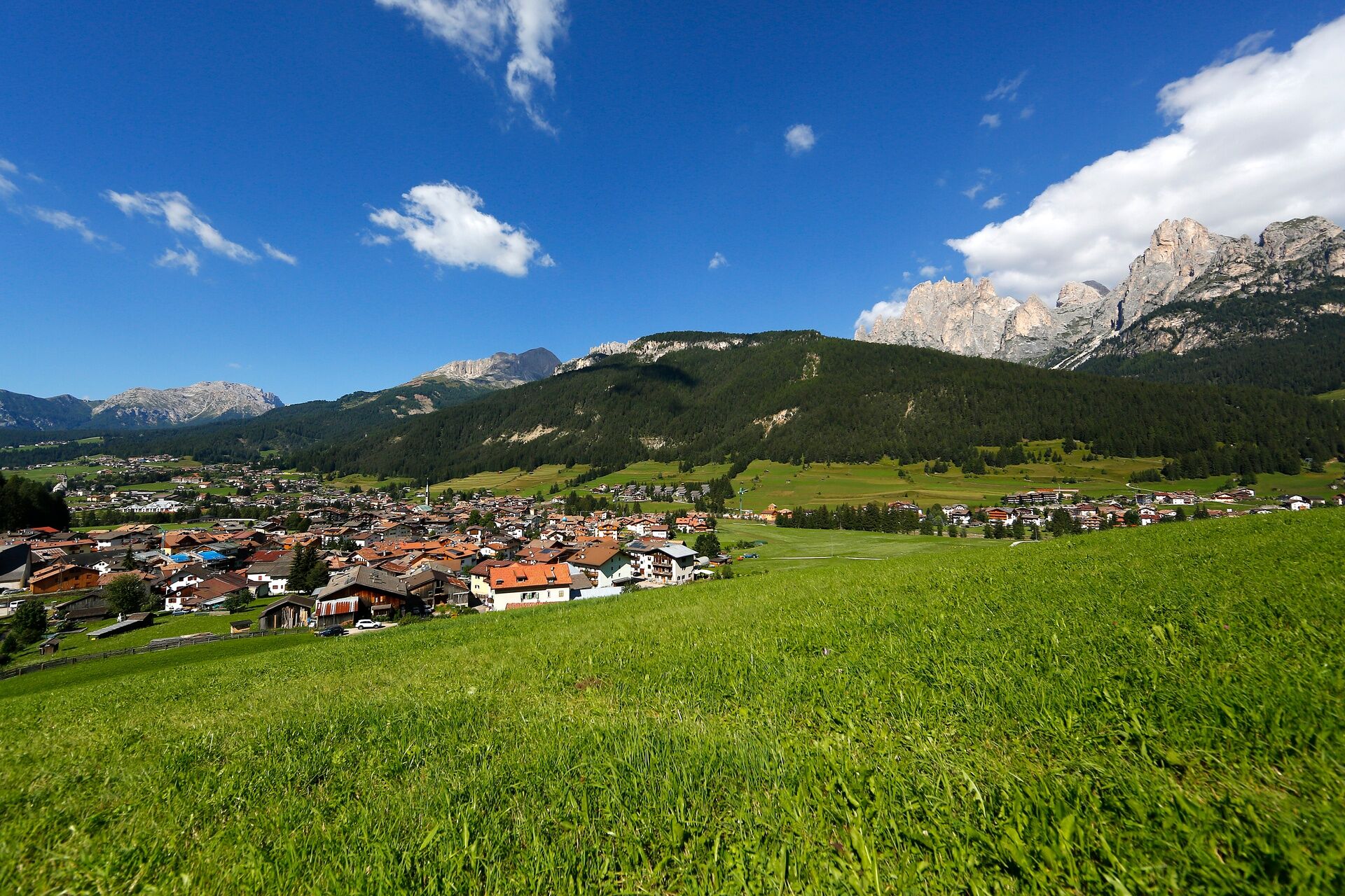
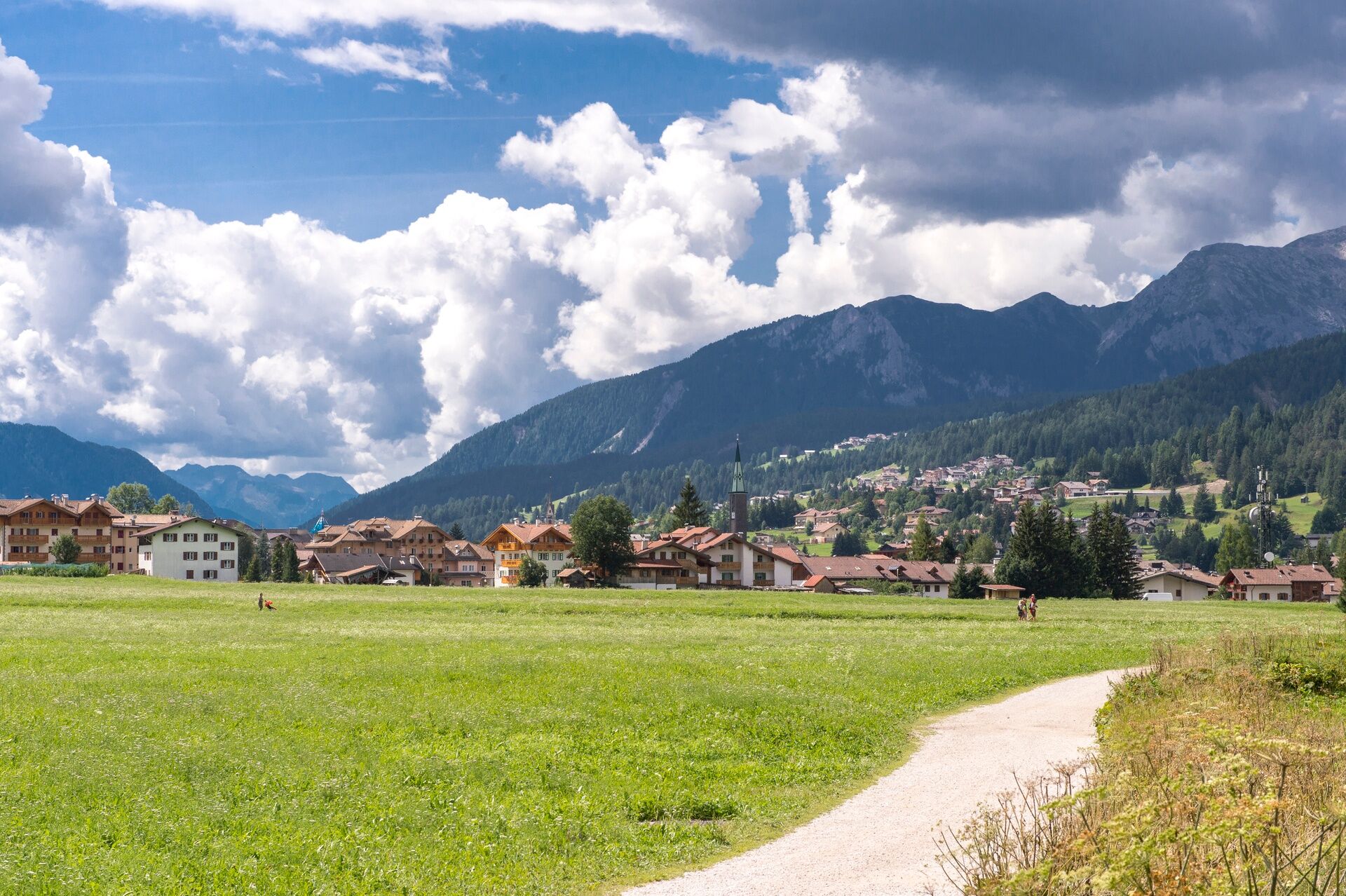
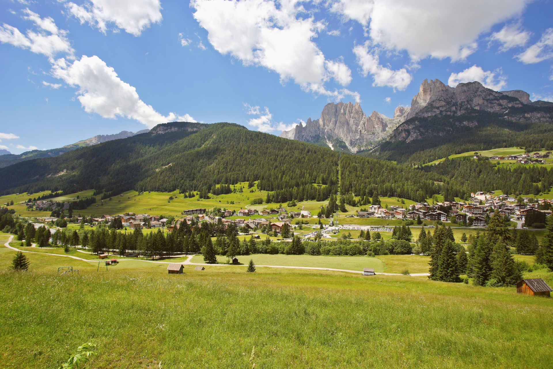
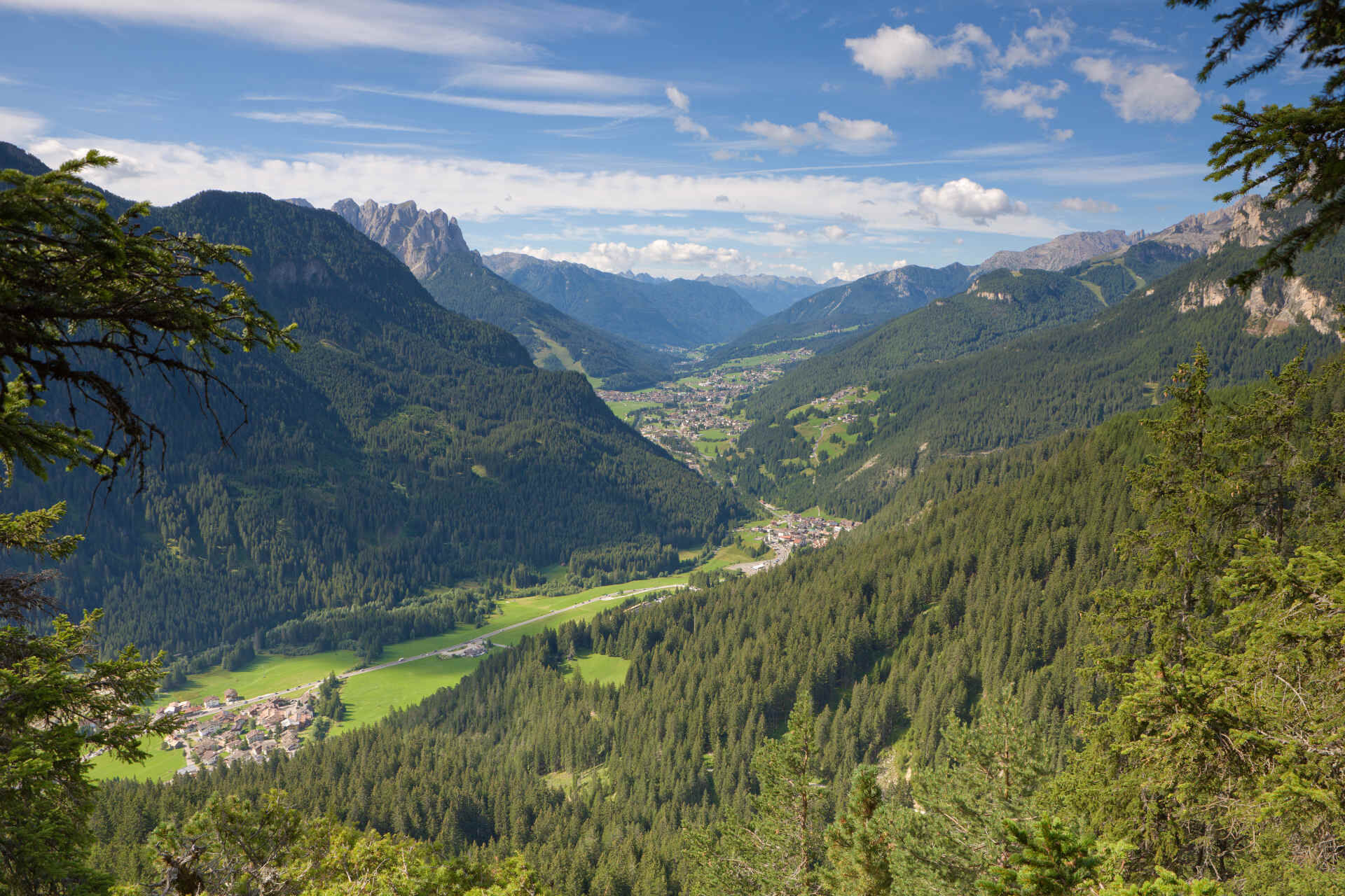
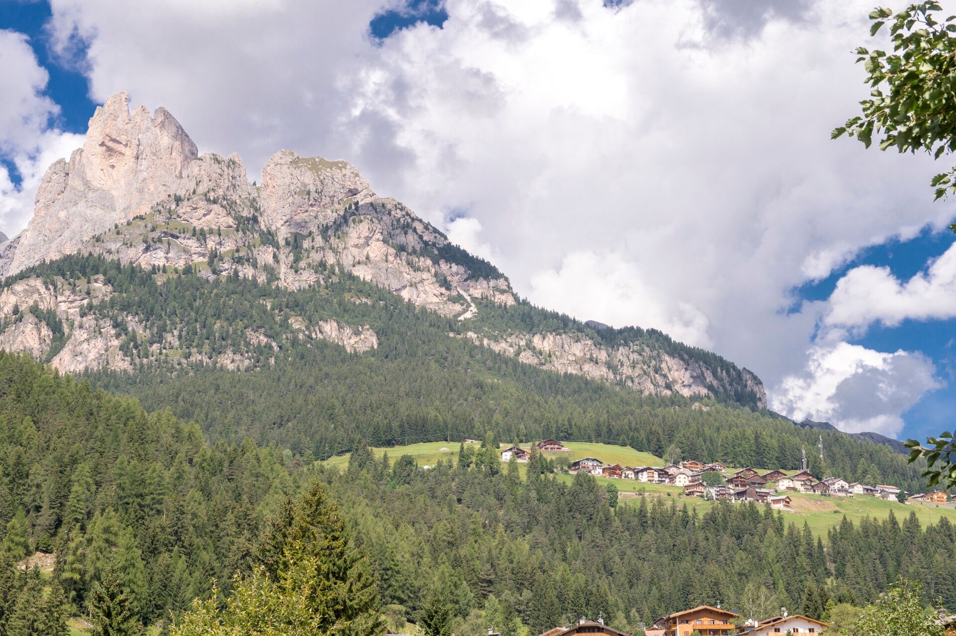
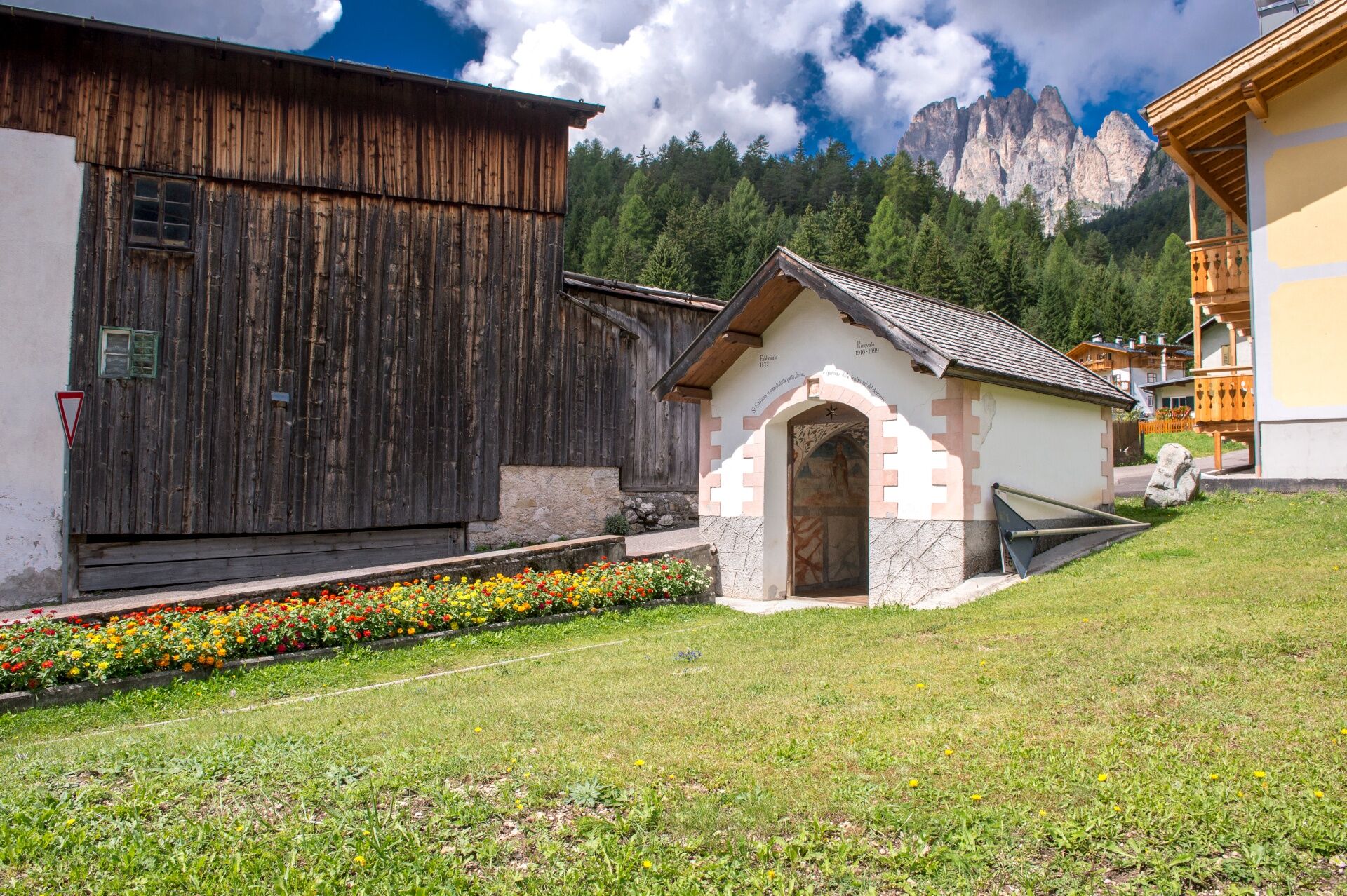
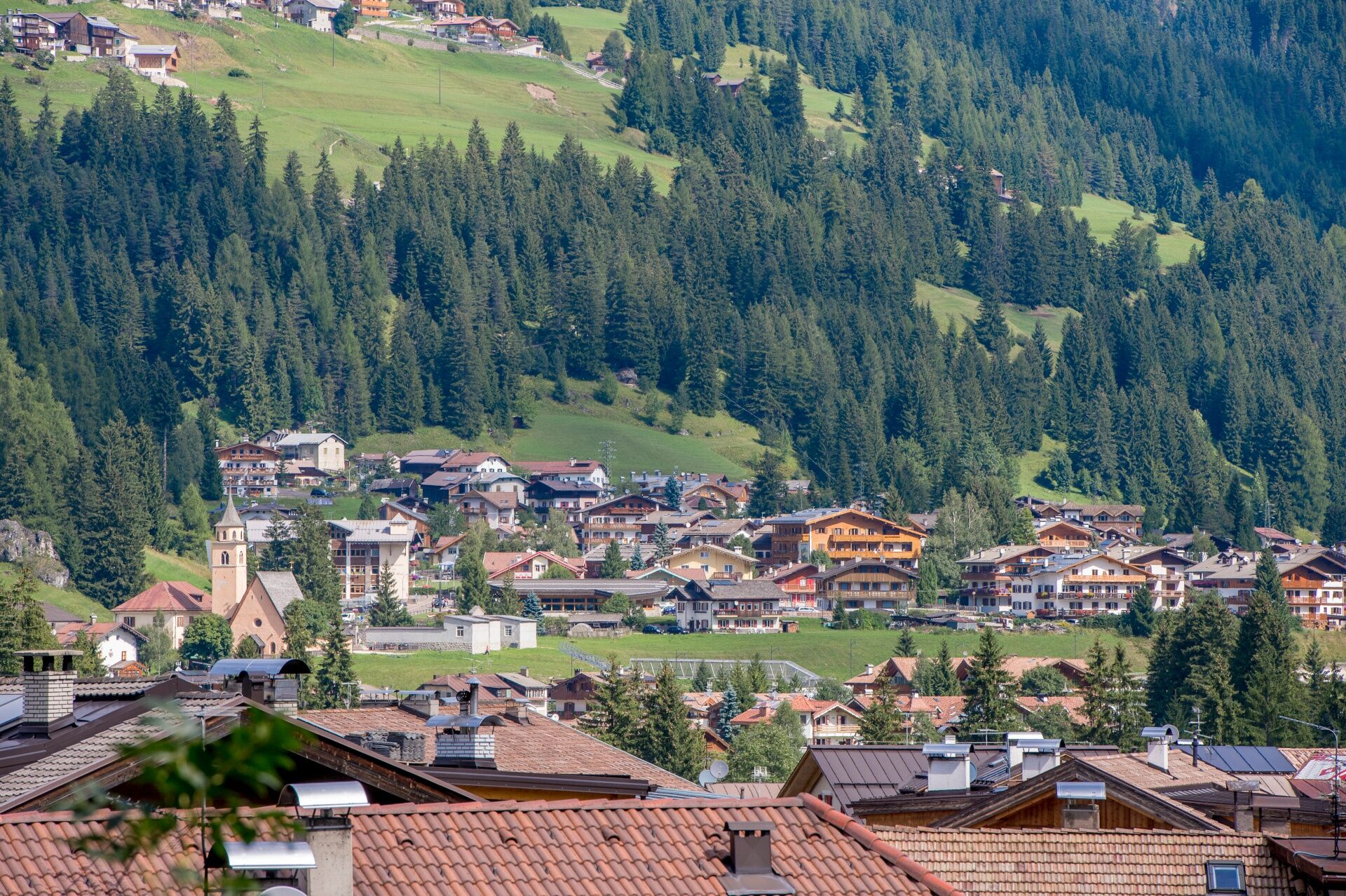
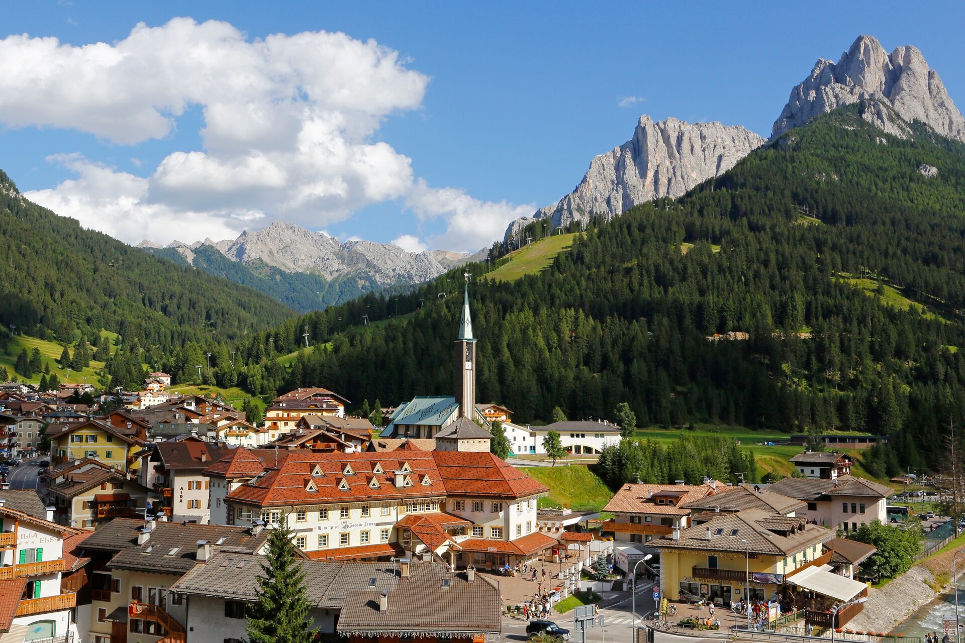
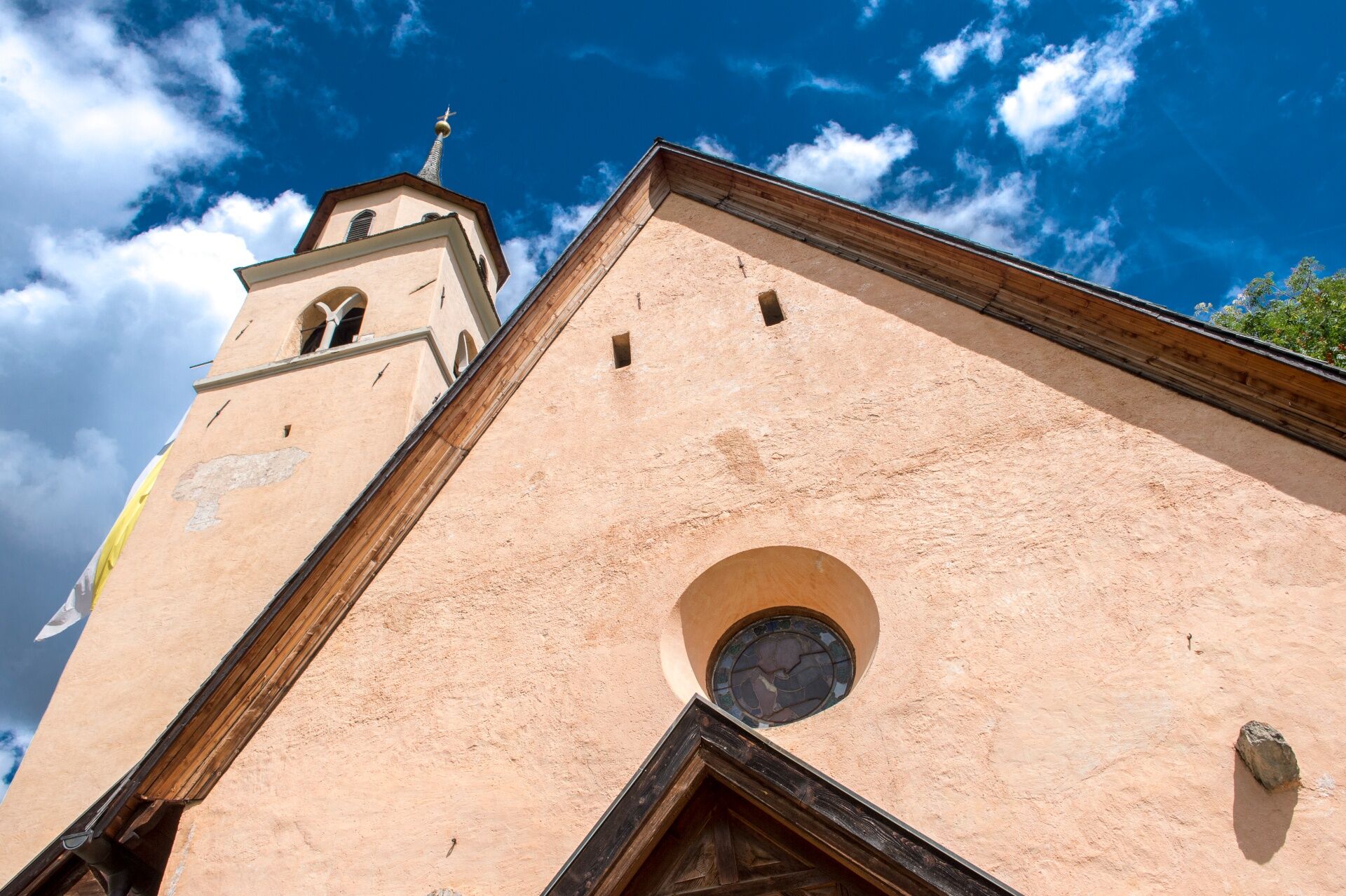

Start from Mazzin in Strèda de Col da Chieve, leave your car at the free parking in front of the Vajolet Hotel. Climb for a short while along Strèda de Col da Chieva and turn right following the dirt road toward "Muncion".
From Pera go back up to Mazzin following the cycling route. Once you have reached the bridge over the "Avisio" river, cross it and continue to Strèda de Chiavacia, that will lead you back to the start.
Carry in your backpack the necessary to face possible emergency situations, and a first aid kit.
2.Walk slowly, enjoy the landscape and the silence.
3. Inform somebody about your itinerary, return time and possible changes.
4. Rely on professionals (mountain and hiking guides).
5. Help those in need. Call 112 only in case of real necessity.
6. Make sure you have suitable clothes and equipment + some water and snacks.
7. Respect the environment around you and its inhabitants. Bring back your rubbish.
8. Follow the marked trails avoiding those in the bikepark.
9. To protect the wonders of nature, leave everything in its place.
10. Bring your pet along, but keep it on a leash.
Other access points to Val di Fassa:
from A27 motorway (Venezia), exit Belluno/Ponte nelle Alpi, S.S. 203 to Agordo and S.P. 346 to San Pellegrino Pass - Moena (Val di Fassa). At the roundabout in Moena, proceed towards Canazei from A27 motorway (Venezia), exit Belluno/Ponte nelle Alpi, S.S. 203 to Agordo/Alleghe/Rocca Pietore. S.P. 641 to Fedaia Pass - Canazei coming from Arabba, S.S. 48 to Pordoi Pass - Canazei from Val Gardena, S.S. 242 to Sella Pass - CanazeiPublic transport lines SAD - Val di Fassa:
line no. 180 Vigo di Fassa - Carezza Pass - Bolzano- Nearest bus stop (Trentino Trasporti): Mazzin > Tourist office
Free parking spaces next to the Hotel Vajolet or near the tourist office.
Strèda Roma, 36
38032 Canazei (TN)
Phone +39 0462 609500
info@fassa.com
www.fassa.com
Along the route you will find both a few refreshment points (bars) and fountains with drinking water.
Získajte prehľad
Vždy naživo na mieste s viac ako 9 500 webovými kamerami. bergfex Ako používateľ Pro si teraz môžete pozrieť príslušné webové kamery pre mnohé zájazdy v aplikácii zájazdy z. Môžete si tak priamo prezerať aktuálne podmienky.
Obľúbené výlety v okolí
-
4,8
Torre di Pisa mountain hut
strednáTuristika 9,09 km -
4,7
Pordoi Pass - Sass Pordoi - Forcella Pordoi - Piz Boè - Boè Refuge - Forcella Pordoi - Pordoi Pass
ťažkéTuristika 8,39 km -
5,0
Langkofel Klettersteig/Ferrata Furcela de Saslonch
ťažkéVia ferrata 7,07 km -
5,0
Um den Langkofel
strednáTuristika 9,76 km -
4,0
Der Friedrich-August-Weg
strednáTuristika 10,4 km -
4,9
Lang- und Plattkofel Umrundung
strednáTuristika 17,5 km -
4,9
Santnerpass Klettersteig
strednáVia ferrata 8,29 km -
4,8
Schlern Bersteigung
strednáTuristika 19,1 km -
4,8
Langkofel-Umrundung
strednáTuristika 12,9 km -
4,8
Pisciadùsteig Sella Gruppe
strednáVia ferrata 7,15 km
Turistika a stopovanie


Nenechajte si ujsť ponuky a inšpiráciu na ďalšiu dovolenku
Vaša e-mailová adresa bol pridaný do poštového zoznamu.





