


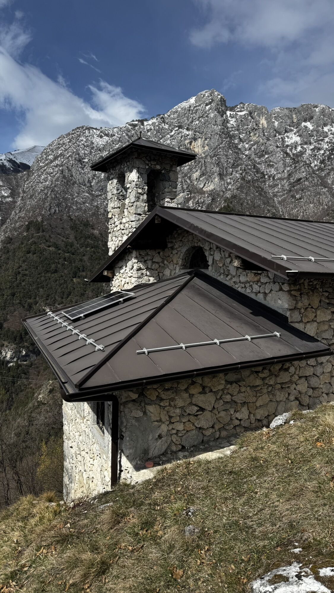
Church of San Giovanni - Bivacco Arcioni
Fotografie našich používateľov
-
 © ROBERTO BONIOTTIVytvorené dňa 27.03.2026
 -
 © ROBERTO BONIOTTIVytvorené dňa 27.03.2026
 -
 © Martin LexaVytvorené dňa 25.04.2026
 -
 © Martin LexaVytvorené dňa 25.04.2026
 -
 © Martin LexaVytvorené dňa 25.04.2026
 -
 © Martin LexaVytvorené dňa 25.04.2026
 -
 © Martin LexaVytvorené dňa 25.04.2026
 -
 © Mum AlesVytvorené dňa 03.08.2025
 -
 © Mum AlesVytvorené dňa 03.08.2025
 -
 © Mum AlesVytvorené dňa 03.08.2025


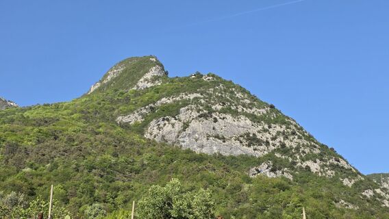
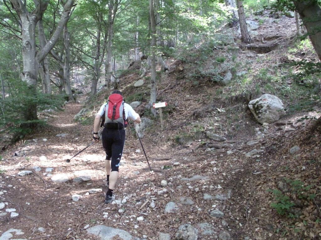
This itinerary follows an old winding cartway ascending Val Vasotina, on the slopes of Cima Rocca, to the small mountain church of San Giovanni, which is visible from the town below, and then in a few...
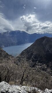
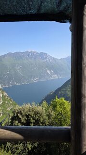
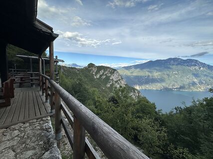
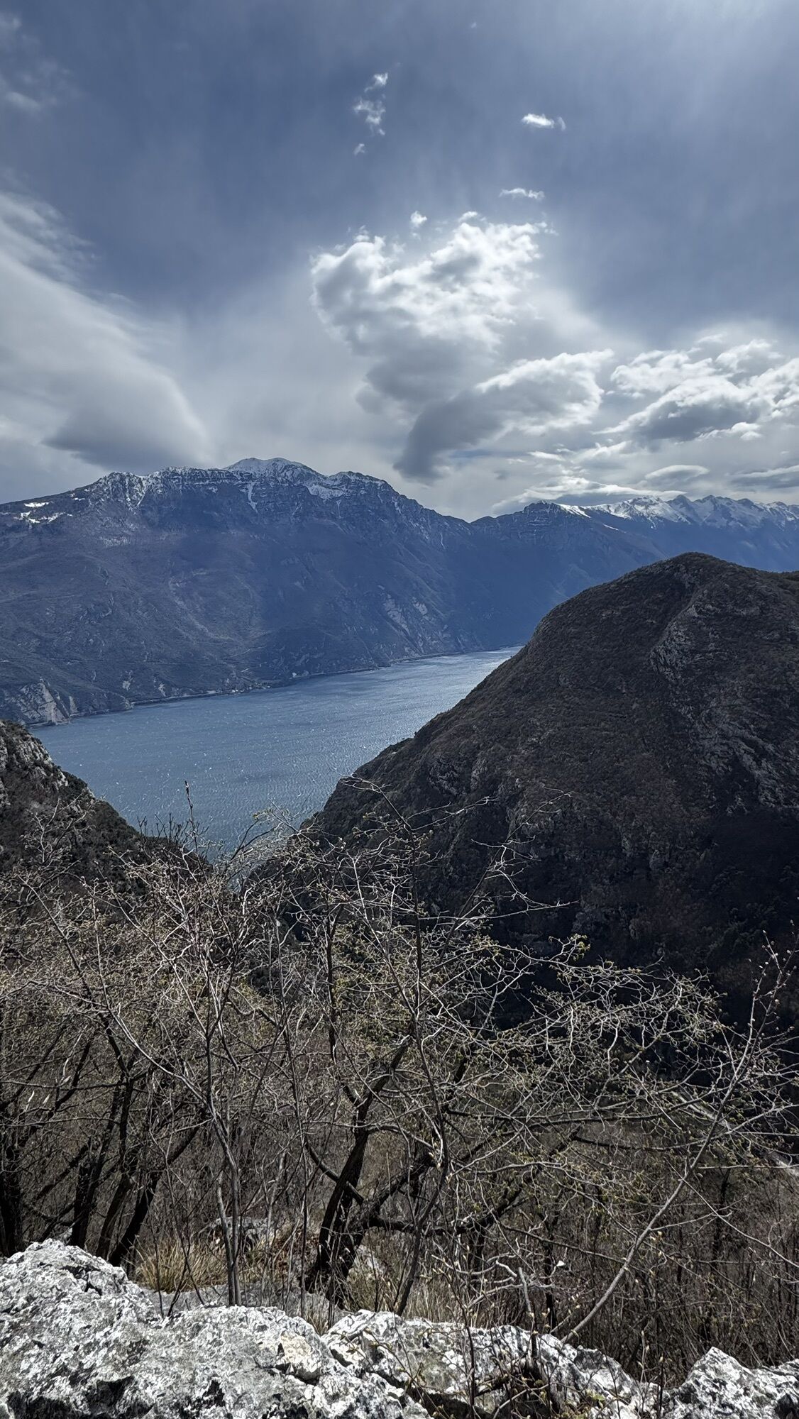
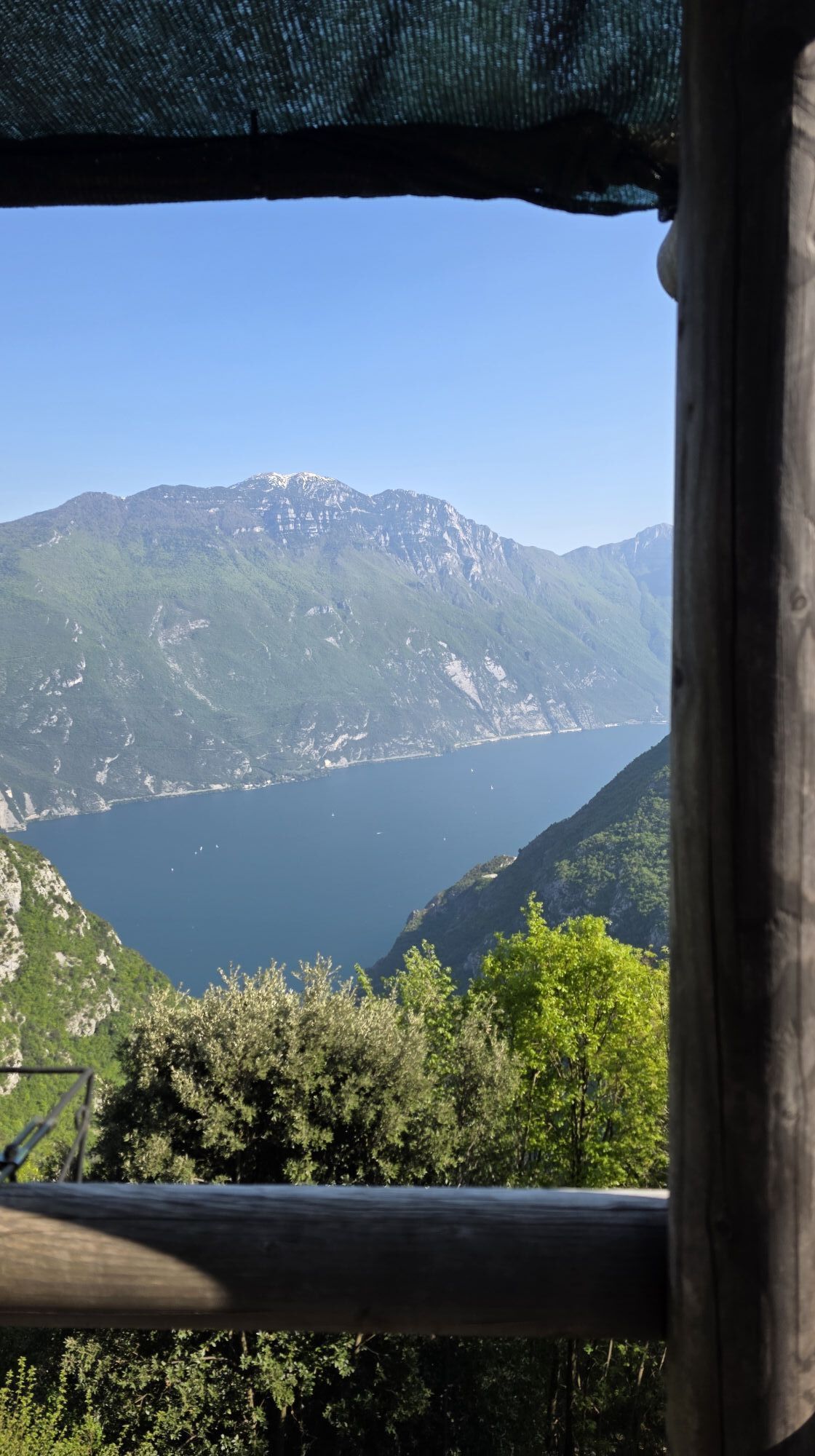
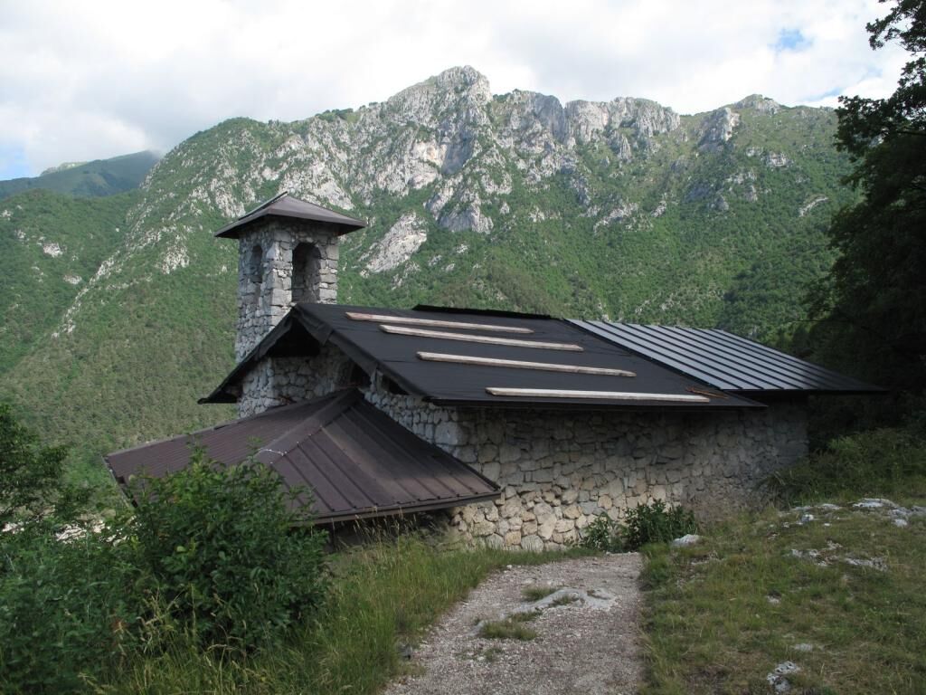
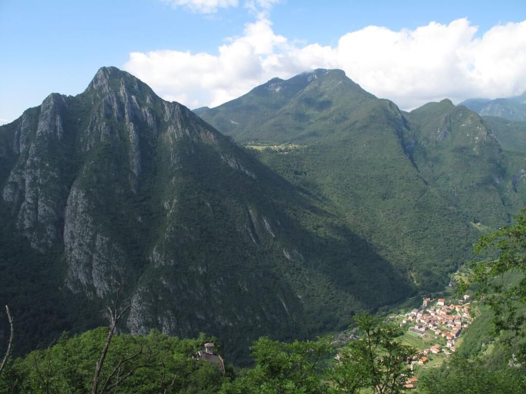
This itinerary follows an old winding cartway ascending Val Vasotina, on the slopes of Cima Rocca, to the small mountain church of San Giovanni, which is visible from the town below, and then in a few minutes to the Arcioni camp, a privileged viewing point towards the more renowned Cima Capi.

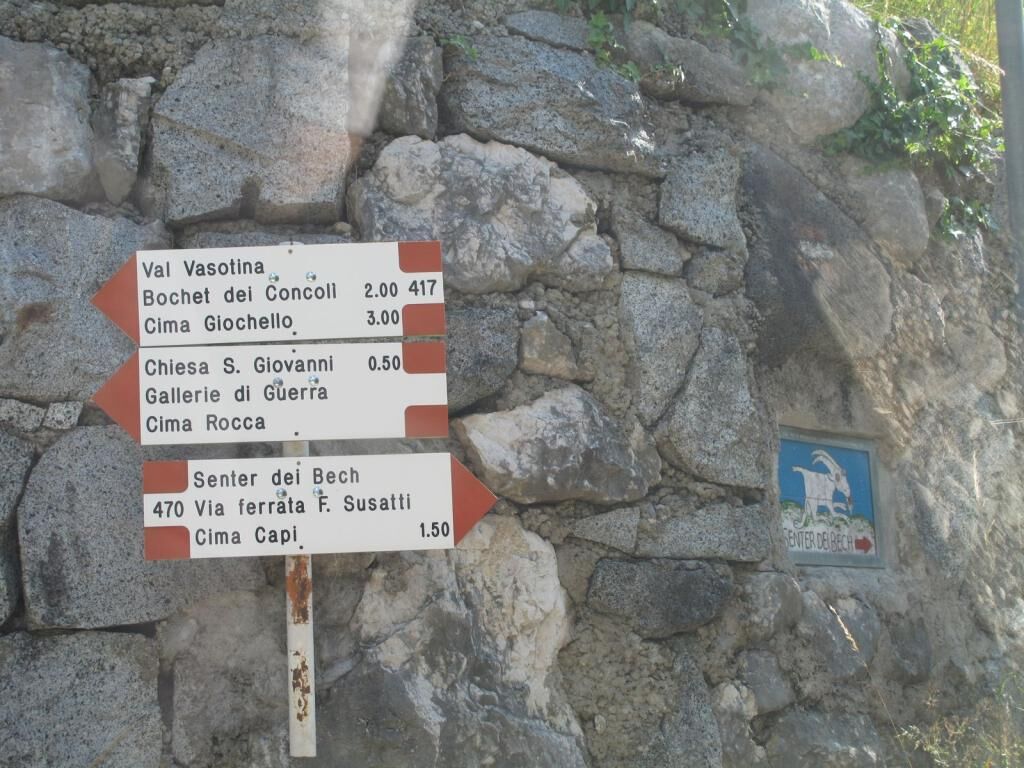
From the car park make your way back, on foot, to the SAT signs indicating trail No. 417.
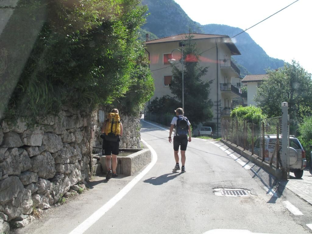
Turn right at the group of houses.
At the next crossroads, turn right again and take the uphill lane leading out of the village, and then, at the following crossroads on the edge of the village, continue uphill keeping on the left.
After about 300 m you come to the crossroads with trail No. 470, which is called the Senter del Bech. From here continue straight ahead.
Shortly after the crossroads you will inevitably slow down to admire a house, on the left-hand side, and especially the profusion of objects in the garden.
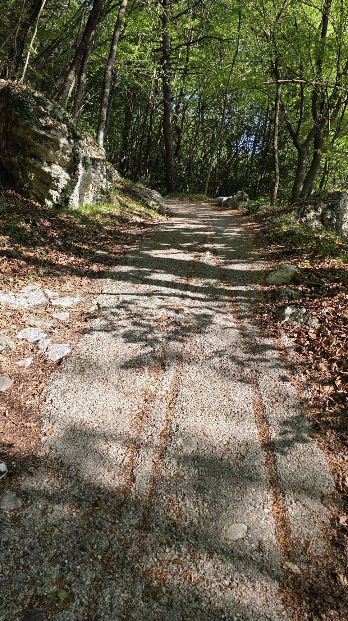
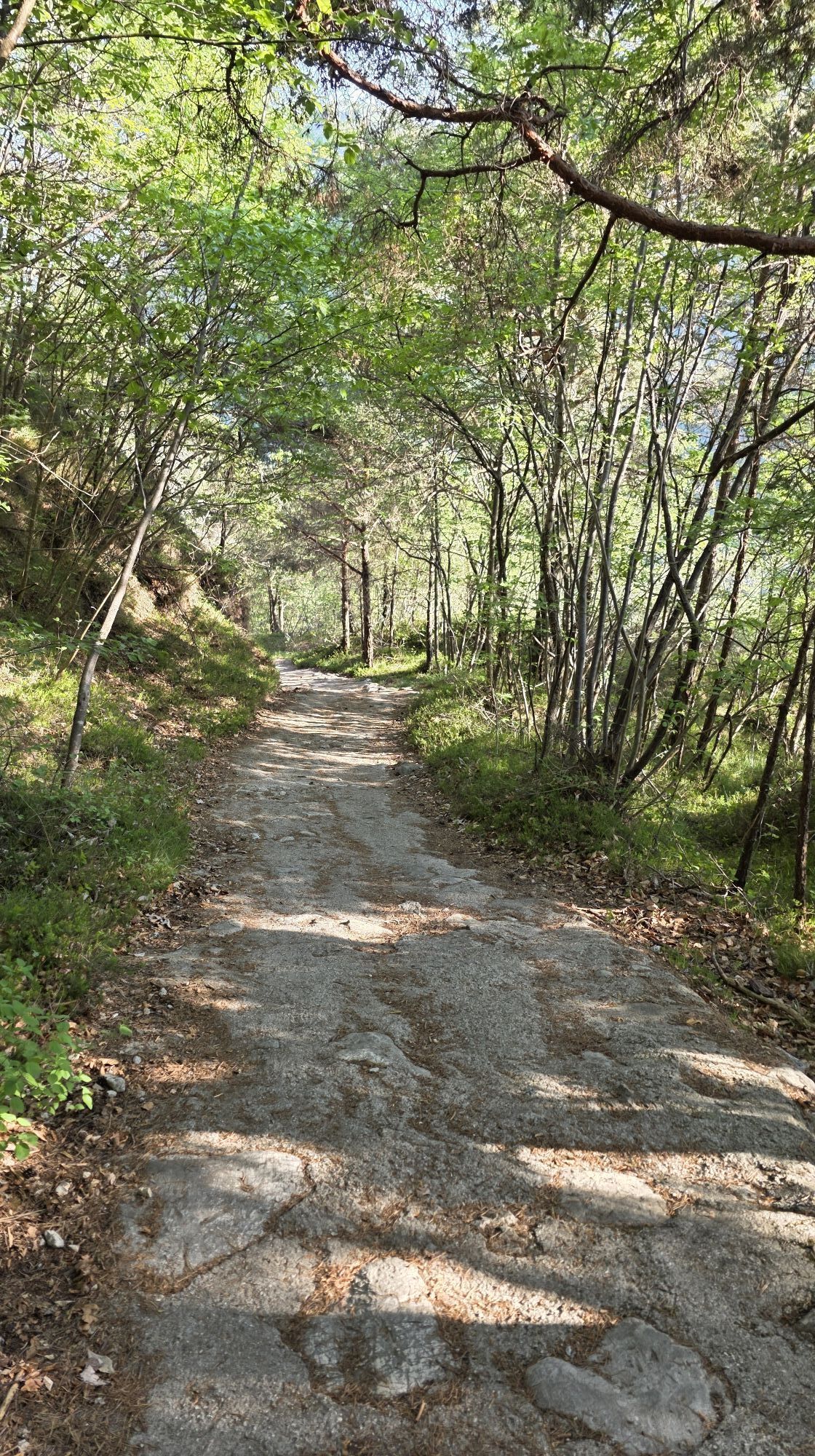
Continue uphill on the country lane that runs through the fields.
At the first right bend, keep to the right, ignoring the trail heading straight uphill (SAT sign).
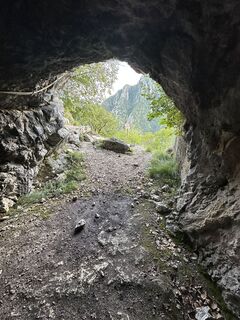
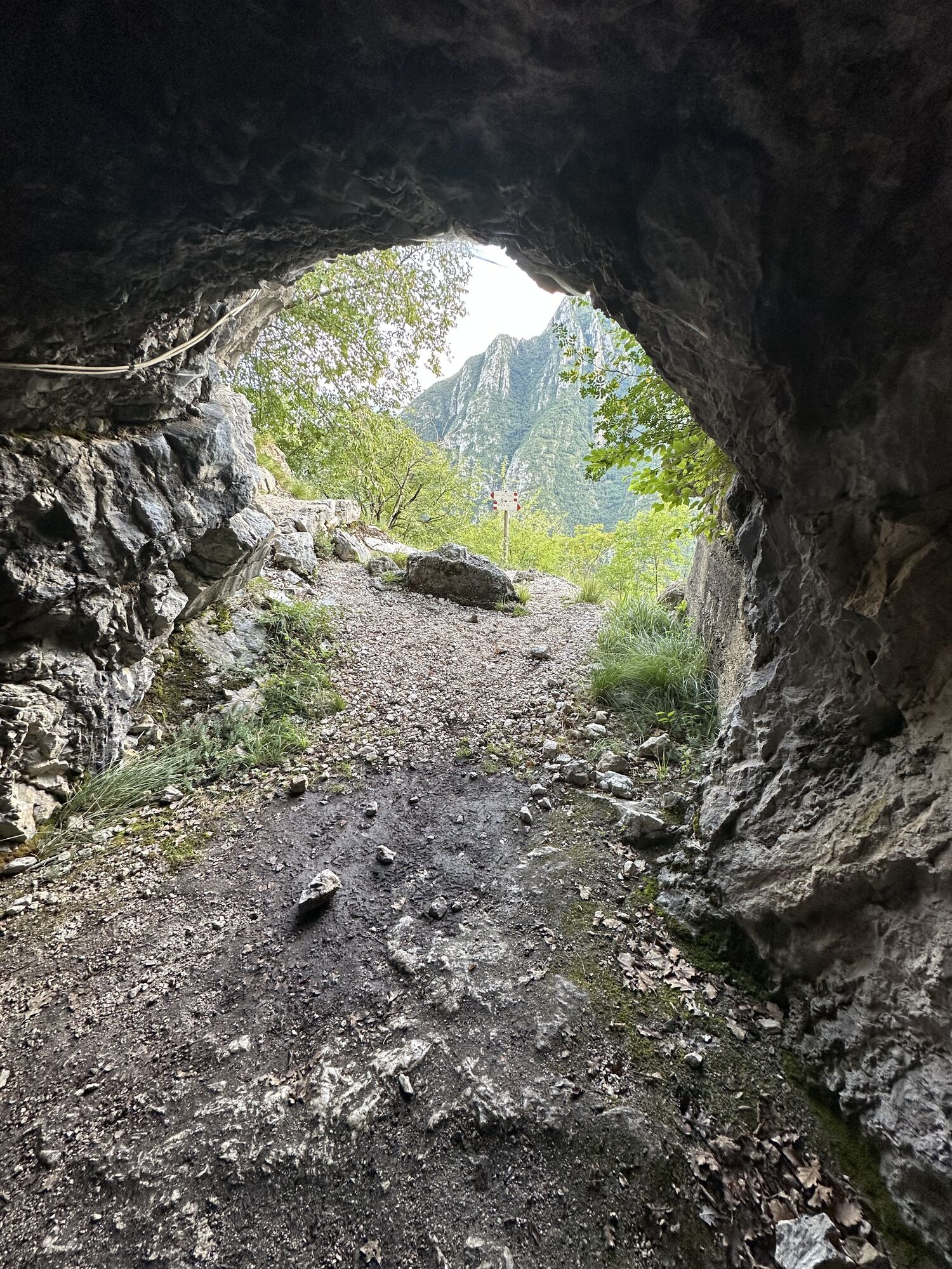
The ascending lane becomes increasingly narrow and steep along the wooded slope.
You pass by another two crossroads, uphill, but always keep to the right.
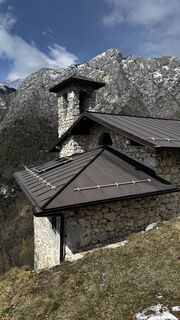
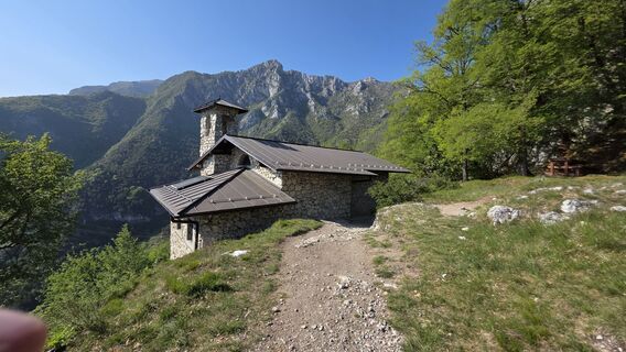
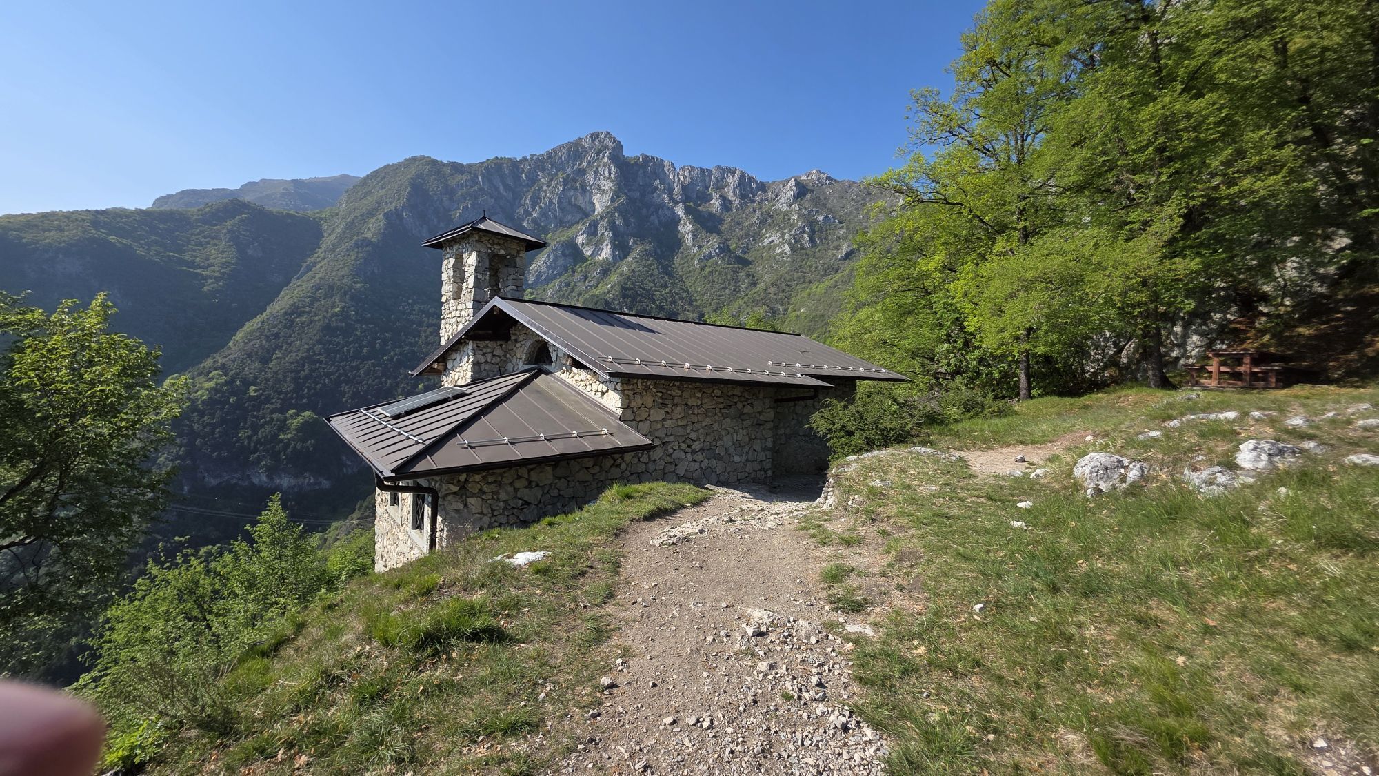
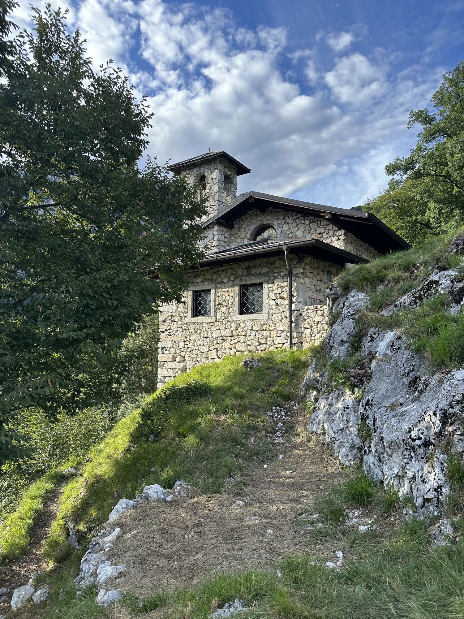
After a while you come out into an open field near the little church of San Giovanni, at 858 m, from where you can look down to the village of Biacesa.
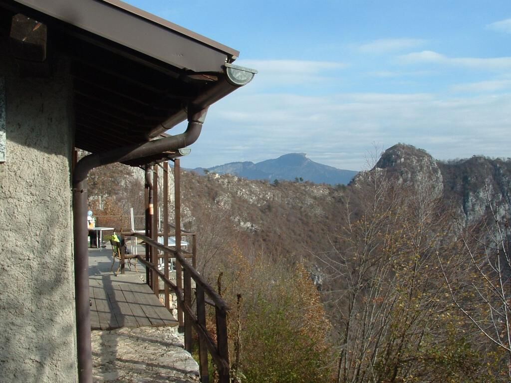
To reach the Arcioni bivouac, head along the flat trail to the left of the church, which takes you up the few hundred metres in elevation separating the two buildings.
Trace your steps back to the car park.
Áno
1) Prepare your itinerary
2) Choose a route that is suitable for your skill level
3) Choose suitable equipment and gear
4) Consult the snow/weather bulletins
5) Heading out on your own is more risky
6) Leave information on your itinerary and on the approximate time you expect to return
7) Do not hesitate to seek the support of a professional
8) Pay attention to the information and signs that you find along the trail
9) Do not hesitate to follow your steps backwards
10) In case of an accident, sound the alarm by calling the emergency number 112.
Please note that the practicability of the itineraries in a mountain environment is strictly linked to the contingent conditions and is therefore influenced by natural phenomena, environmental changes and weather conditions. For this reason, the information contained in this page may have changed. Before leaving for a tour, make sure the path you will approach is still accessible by contacting the owner of the mountain hut, the alpine guides or the visitor centres of the nature parks, the info offices of the local tourist board.
Reach the village of Biacesa , in Val di Ledro. At the only traffic lights, turn left (coming uphill from Riva del Garda) and cross the village. Turn right at the second turning and drive towards the sports field, where there’s a large car park.
Für Familien, steiler Aufstieg. Bevor man den Ort verlässt, befinden sich am ersten Straßenabschnitt entlang einige kleine Brünnlein, danach besteht keine Möglichkeit mehr, auf dem Wege Wasser zu holen.
Obľúbené výlety v okolí
-
4,8
Via Ferrata Rio Sallagoni
strednáVia ferrata 2,75 km -
4,8
Bocca Fortini - Tour
ťažkéMountainbike 35,4 km -
4,8
Via Ferrata Fausto Susatti - Cima Capi (from Ledro)
strednáVia ferrata 7,11 km -
4,6
Via Ferrata delle Laste e Gallerie di Cima Rocca
svetloVia ferrata 6,38 km -
5,0
Bastione and Santa Barbara, the lords of Riva del Garda
strednáTuristika 2,94 km -
4,6
Walking around Lake Ledro
svetloTuristika 9,40 km -
4,3
Tremalzo Big - Tour
ťažkéMountainbike 45,6 km -
5,0
Via Ferrata Signora delle Acque - Rio Ruzza
ťažkéVia ferrata 5,32 km -
4,6
Colodri Klettersteig (A/B)
Via ferrata 7,50 km -
4,9
Via Ferrata dell’Amicizia - Cima SAT
strednáVia ferrata 4,41 km

Turistika a stopovanie


Nenechajte si ujsť ponuky a inšpiráciu na ďalšiu dovolenku
Vaša e-mailová adresa bol pridaný do poštového zoznamu.