


Trek ring to Rifugio Cacciatore and Rifugio Agostini


The itinerary between Rifugio Cacciatore and Rifugio Agostini, in the upper Val D'Ambiez, can be covered by means of a very suggestive circular route, at the foot of the Brenta Dolomites, offering unrivalled...
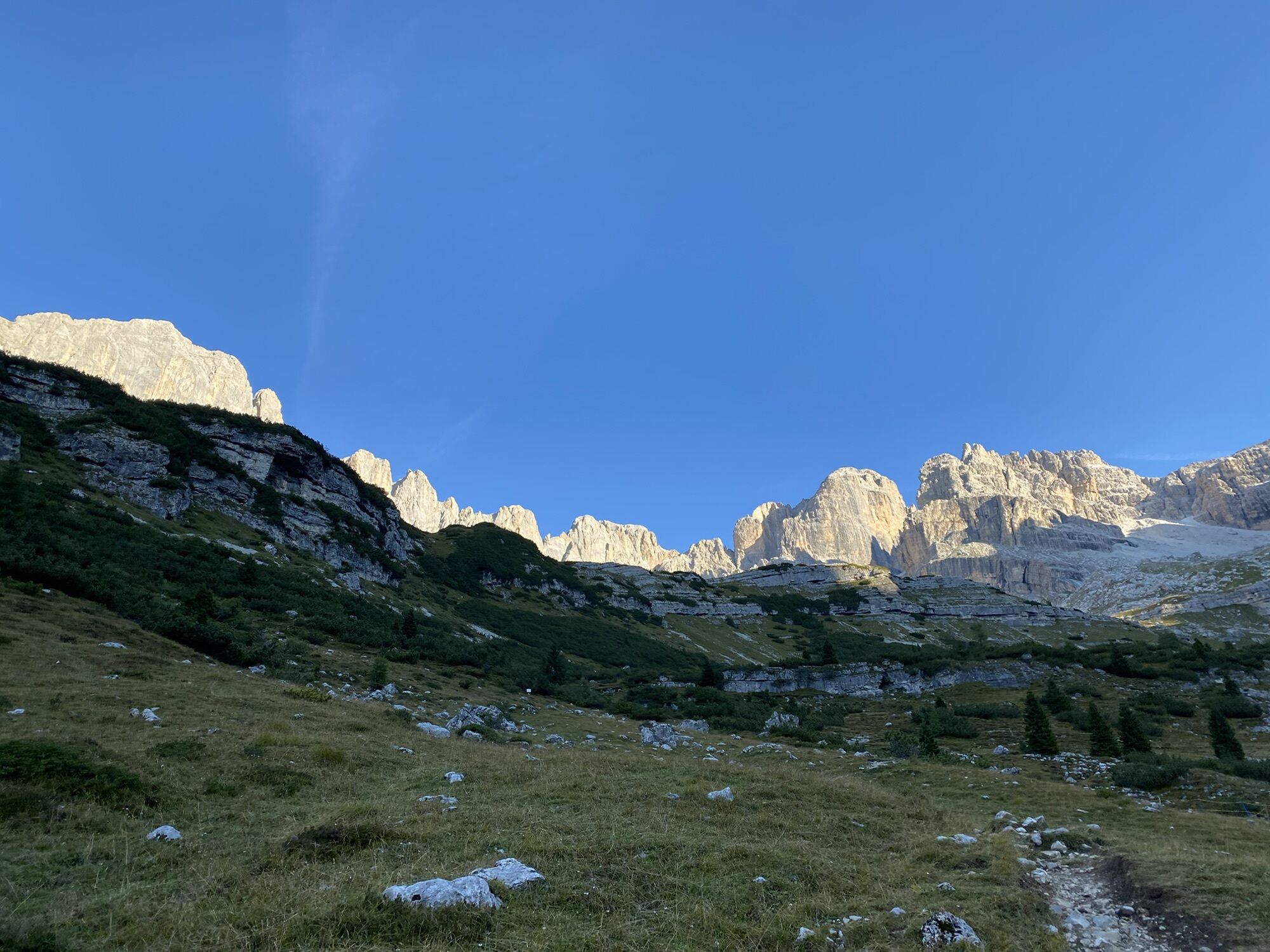
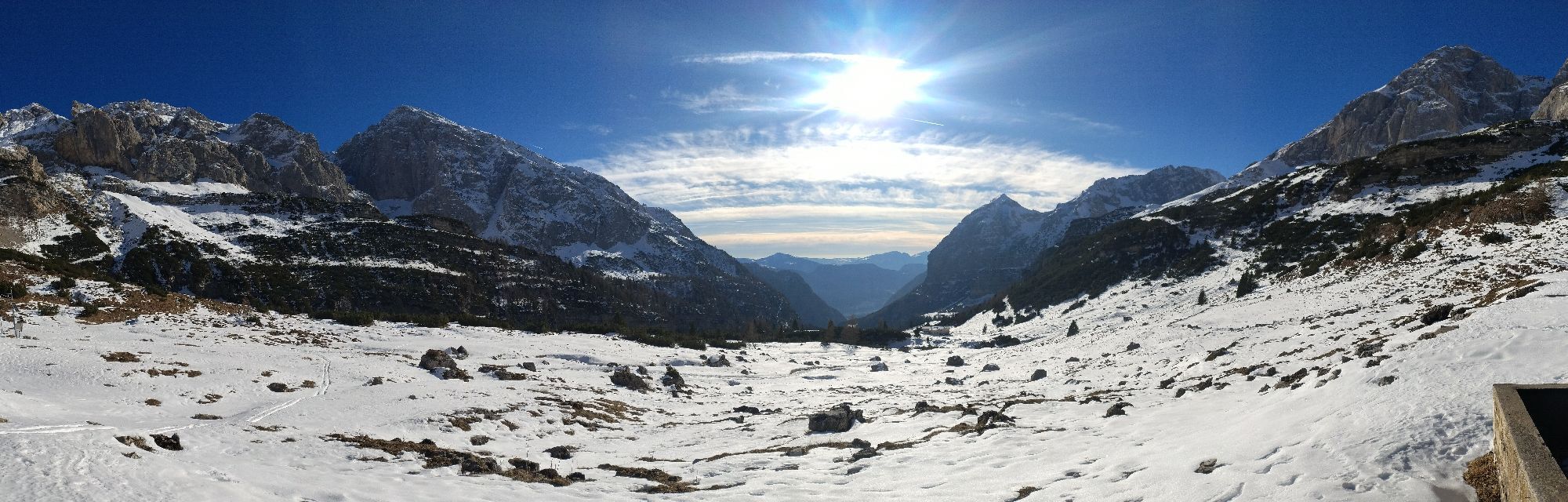
The itinerary between Rifugio Cacciatore and Rifugio Agostini, in the upper Val D'Ambiez, can be covered by means of a very suggestive circular route, at the foot of the Brenta Dolomites, offering unrivalled views over to the incredible pinnacles of Cima Ambiez, Cima Tosa, Cima Brenta, Cime di Ceda, Cima D'Agola, Cima Pratofiorito and Cime di Dalum e Ghez. An incomparable opportunity to discover this breathtaking corner of the Dolomites. Rifugio Al Cacciatore can be reached from San Lorenzo in Banale by a comfortable “jeep shuttle” service up the rather long Val Ambiez. The jeep ride on the narrow mule track is itself an adventure.


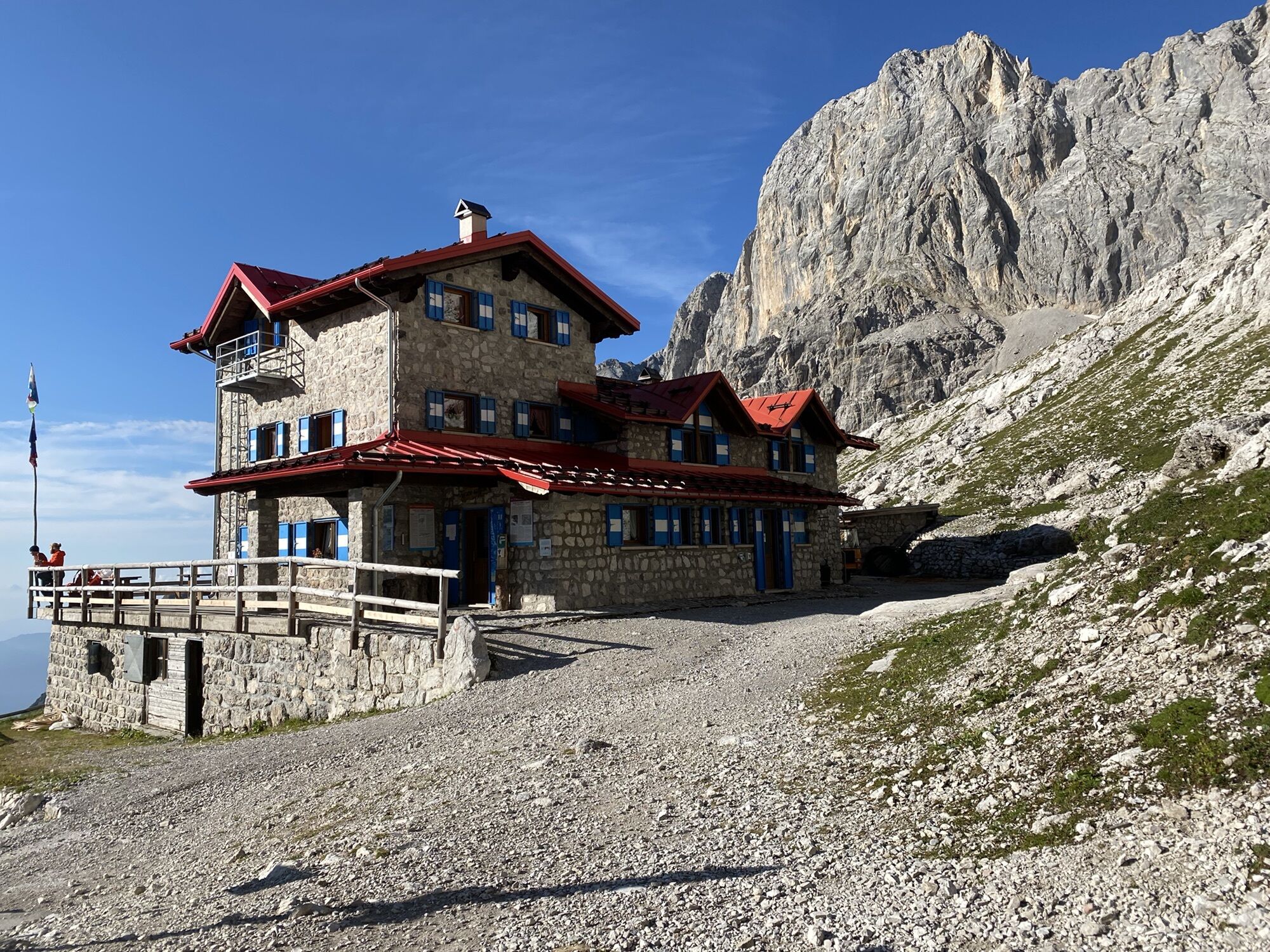
Start at Rifugio al Cacciatore ( 1820 m ), ignoring the mule track that continues uphill, and take trail No. 325 A Dallago which skirts the mountain hut.
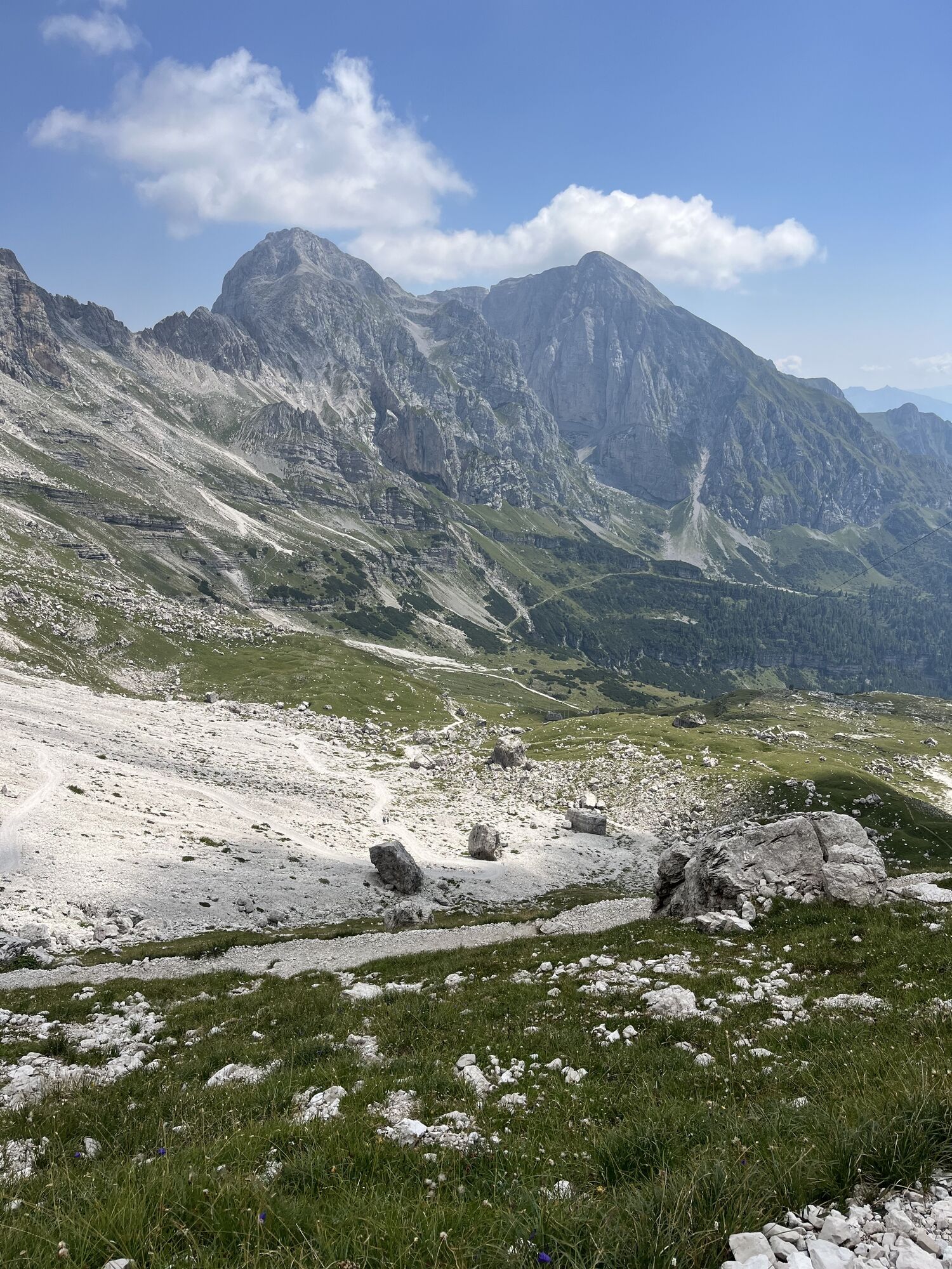
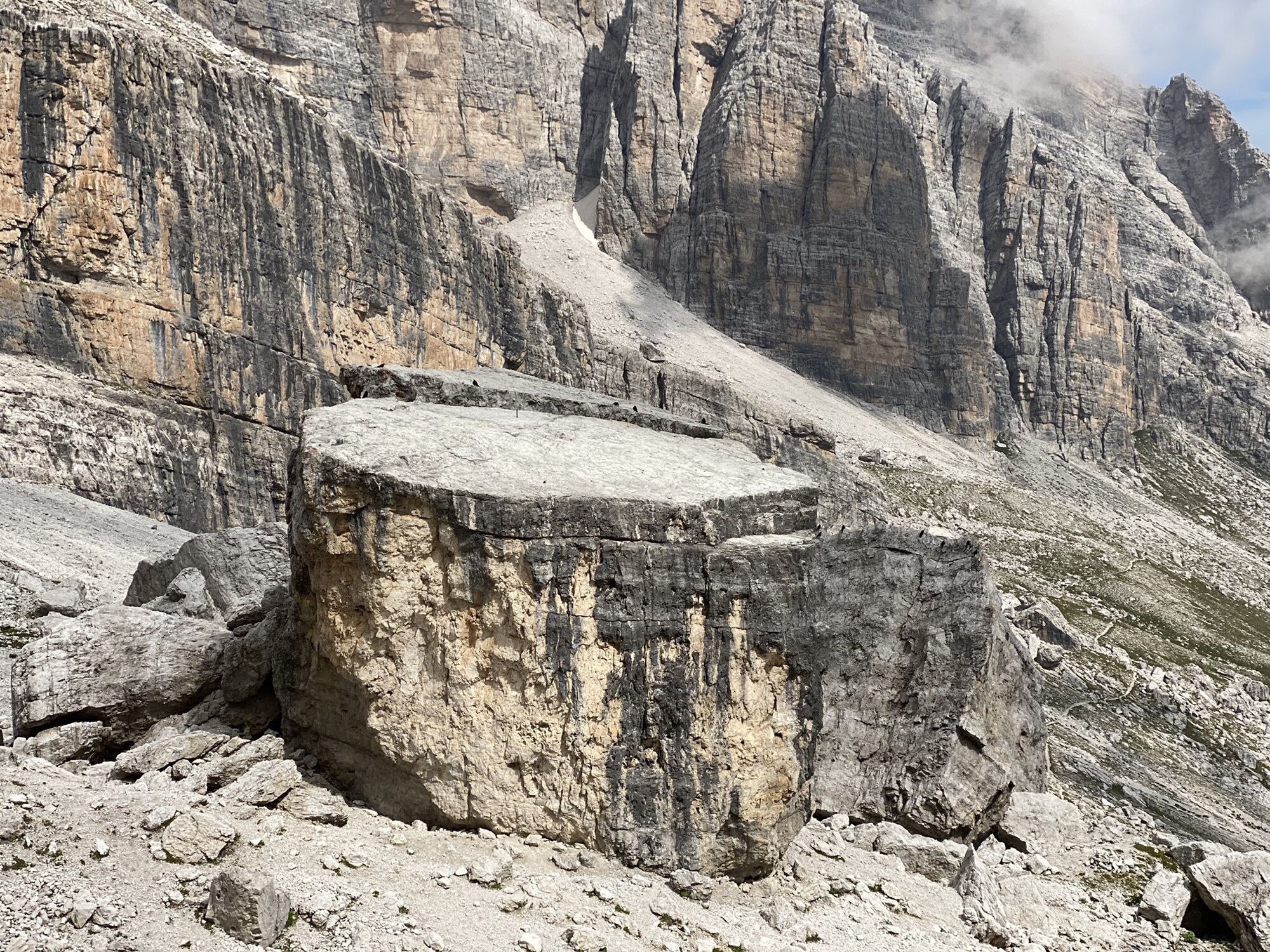
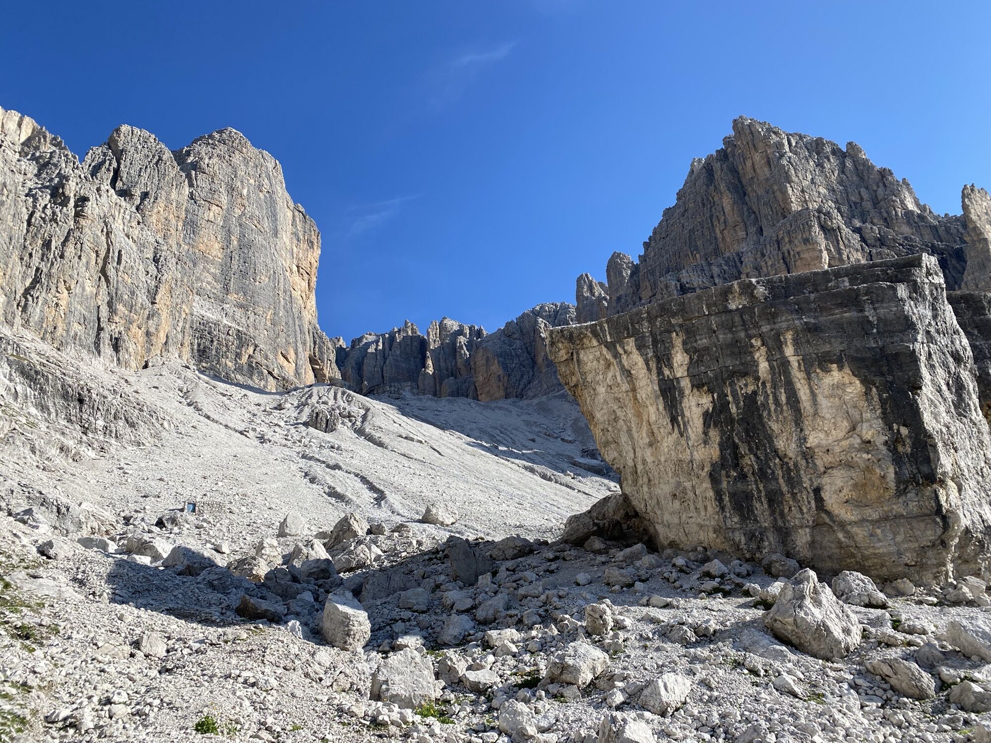
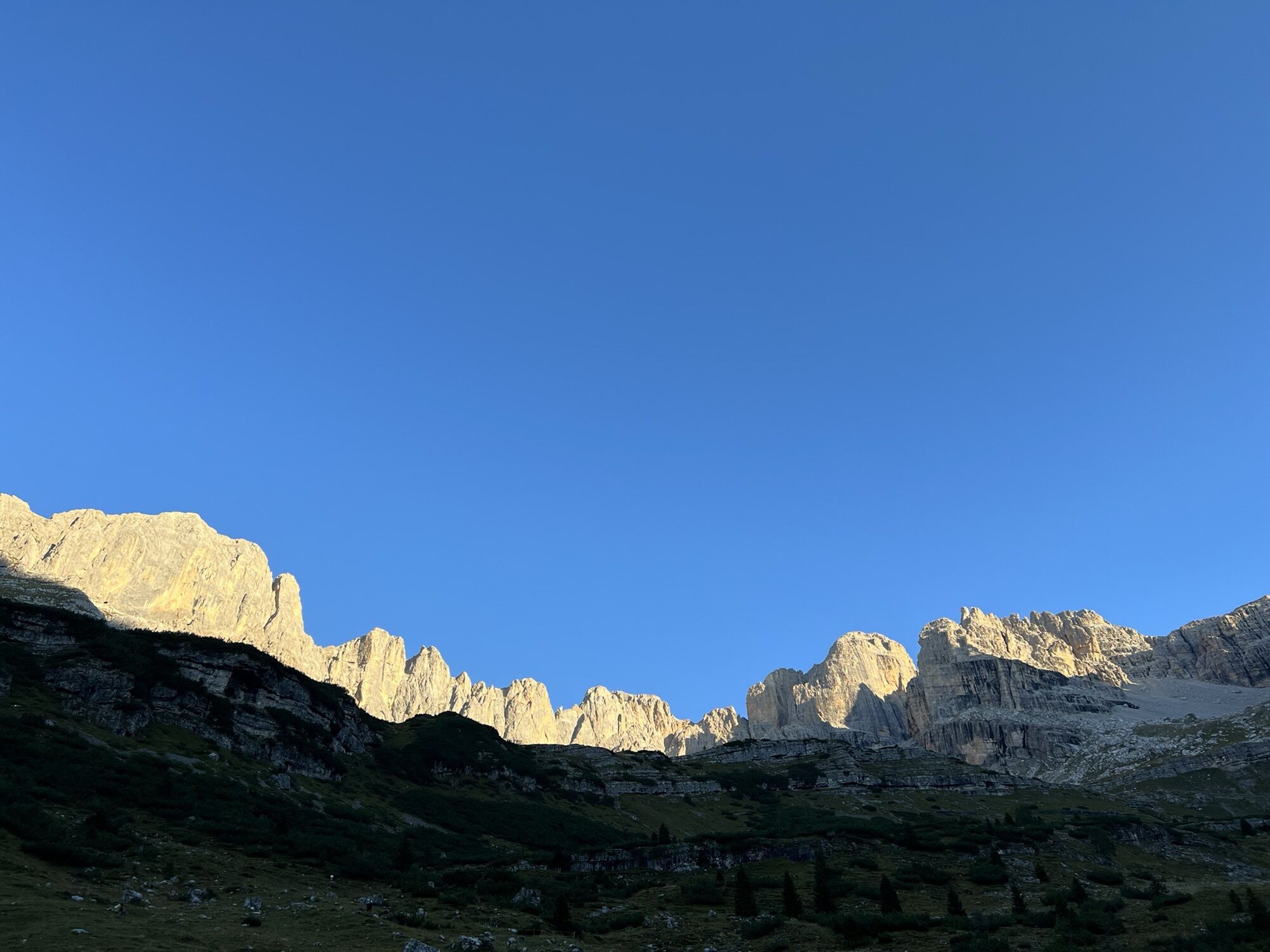
Follow the trail up to the foot of the majestic rocky spur of the “Tose”, the superlative limestone wall, about 300 m tall, which closes to the west the upper Val Ambiez.
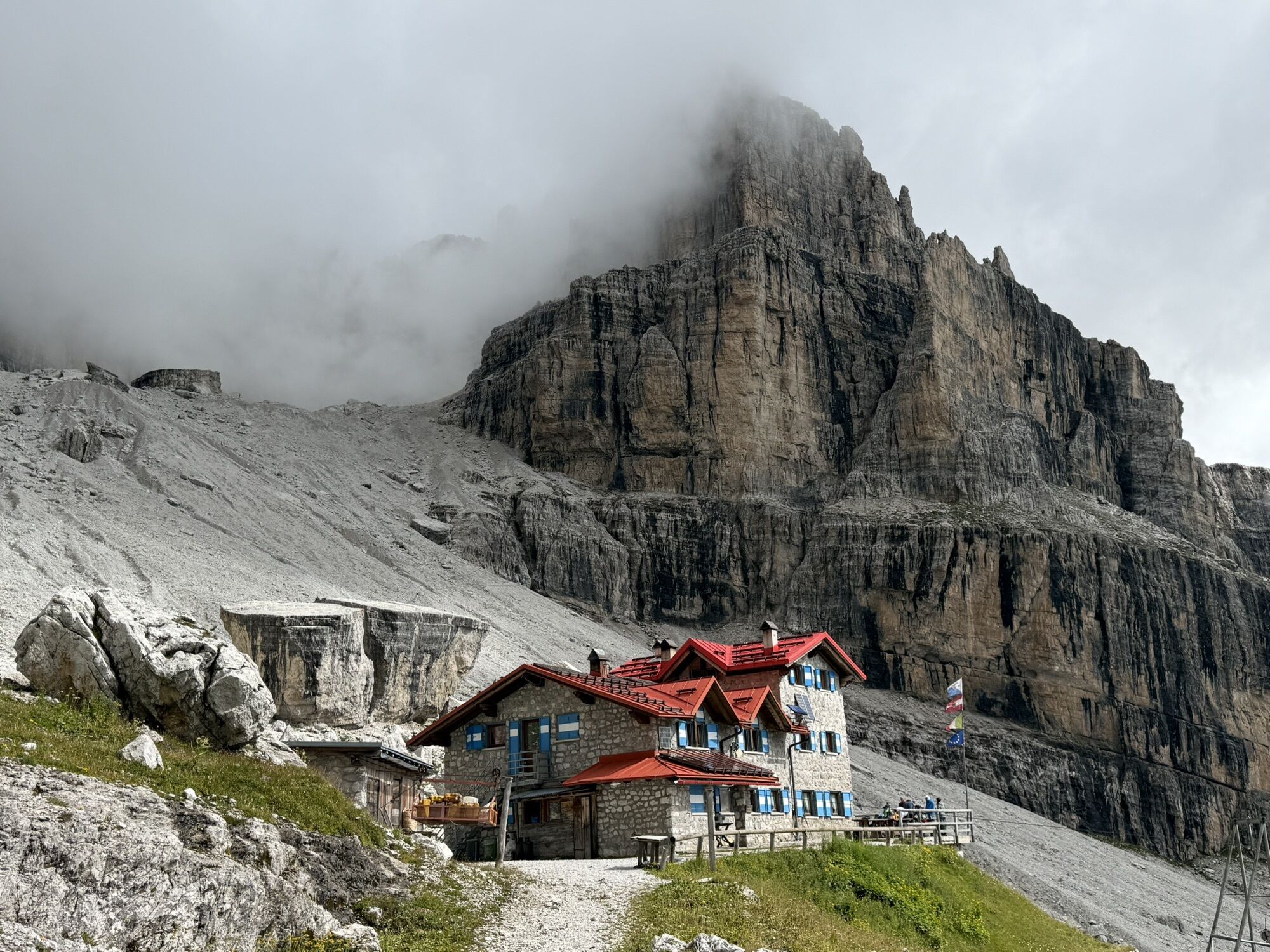
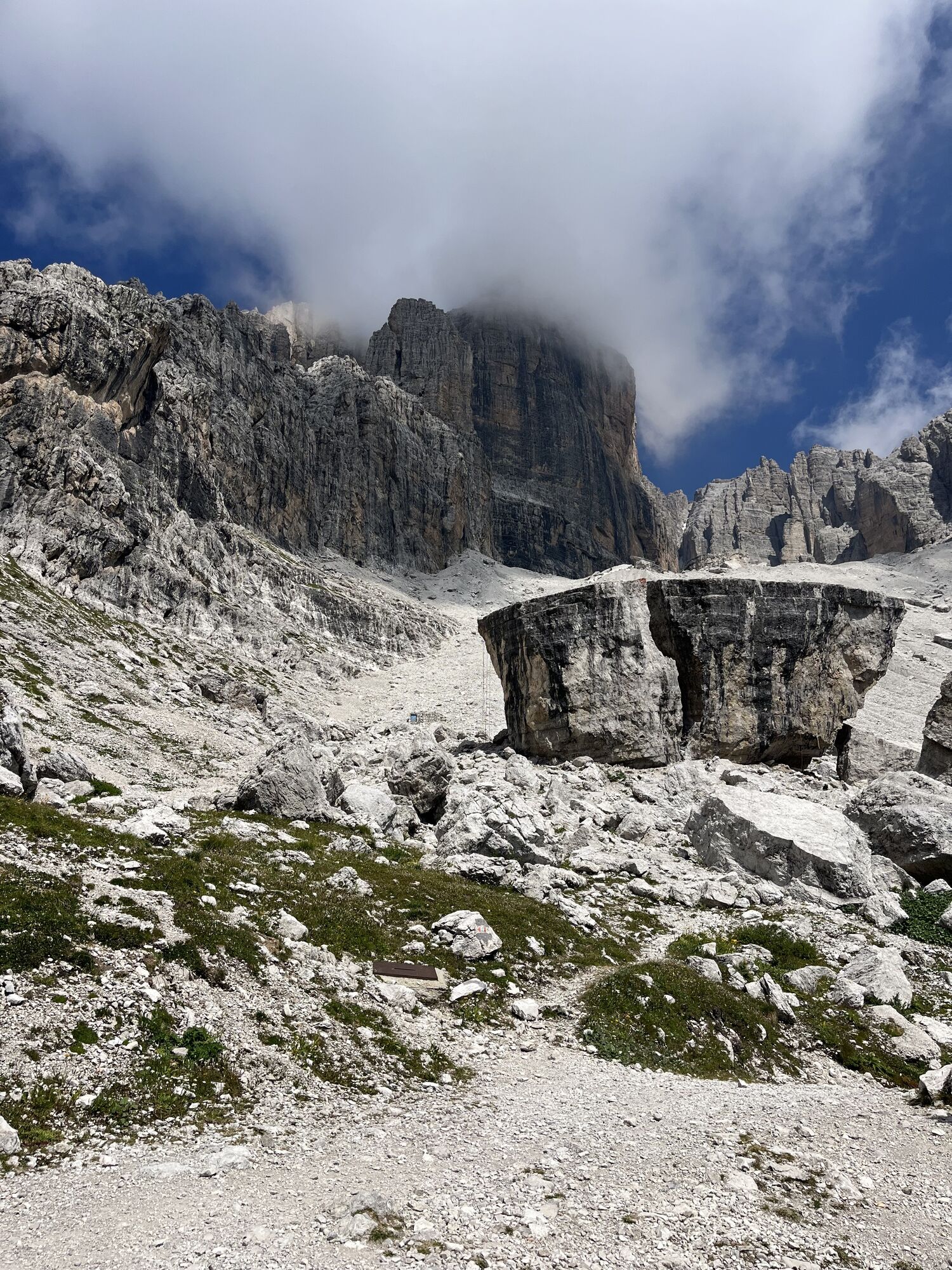
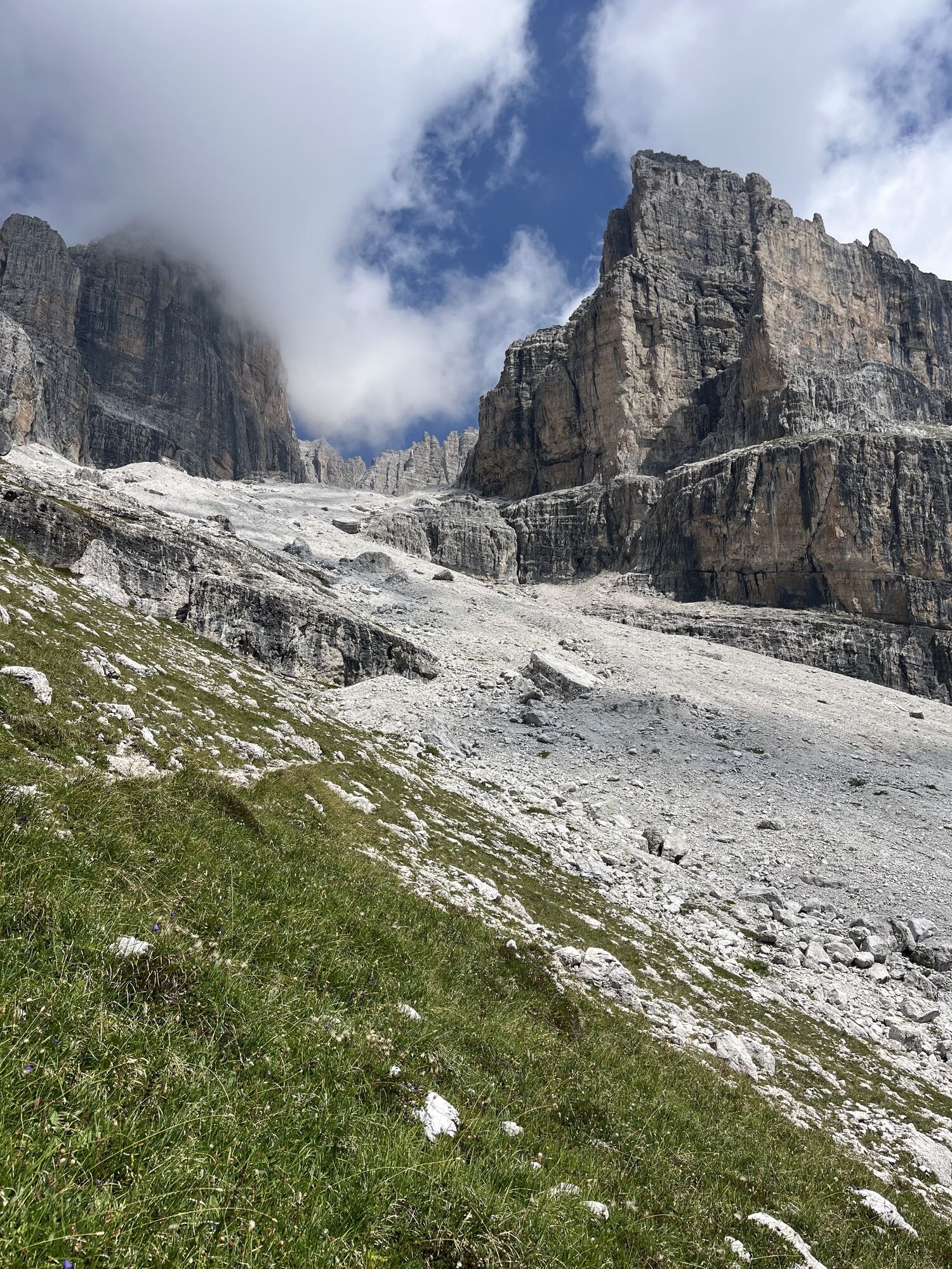
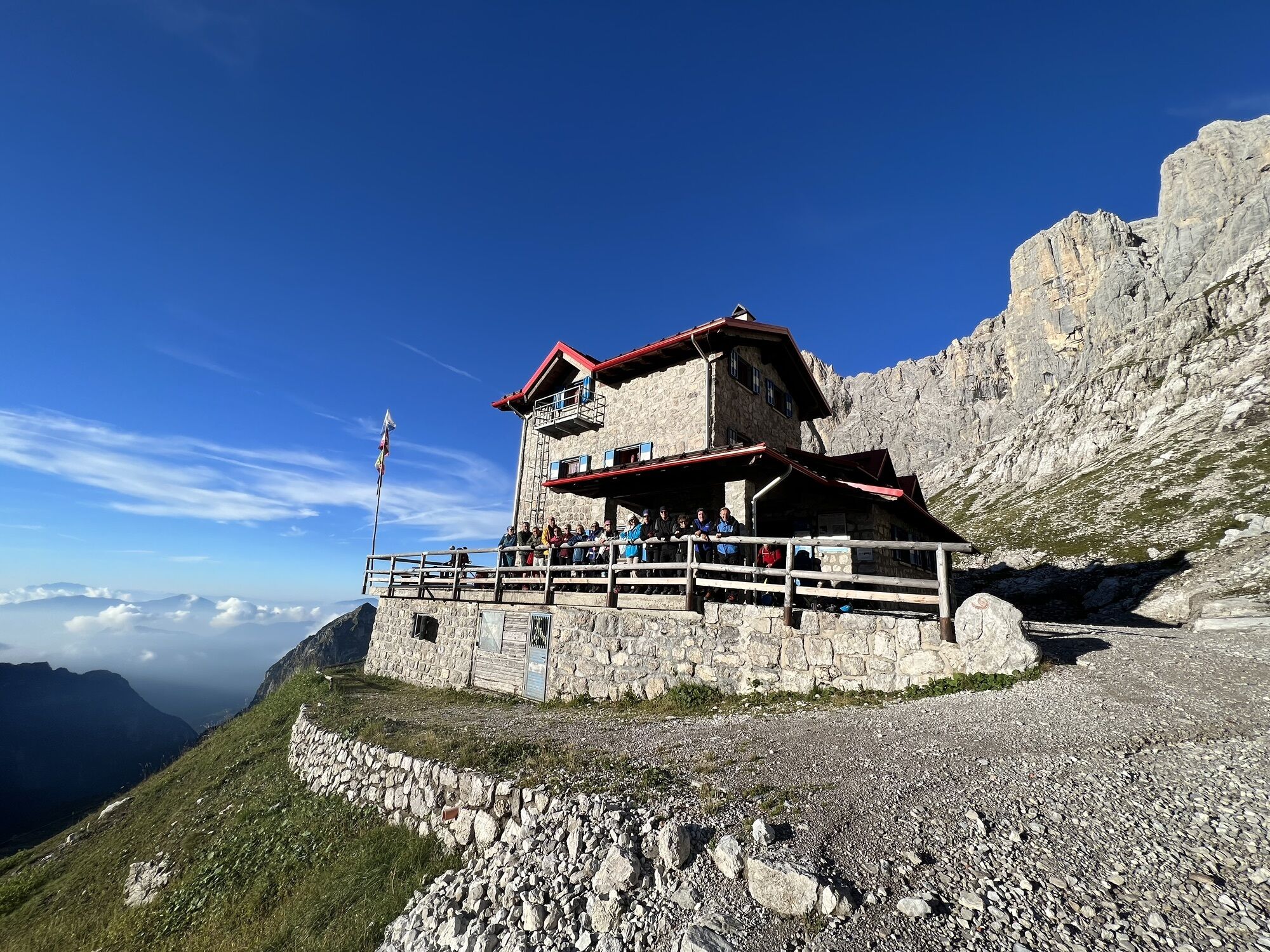
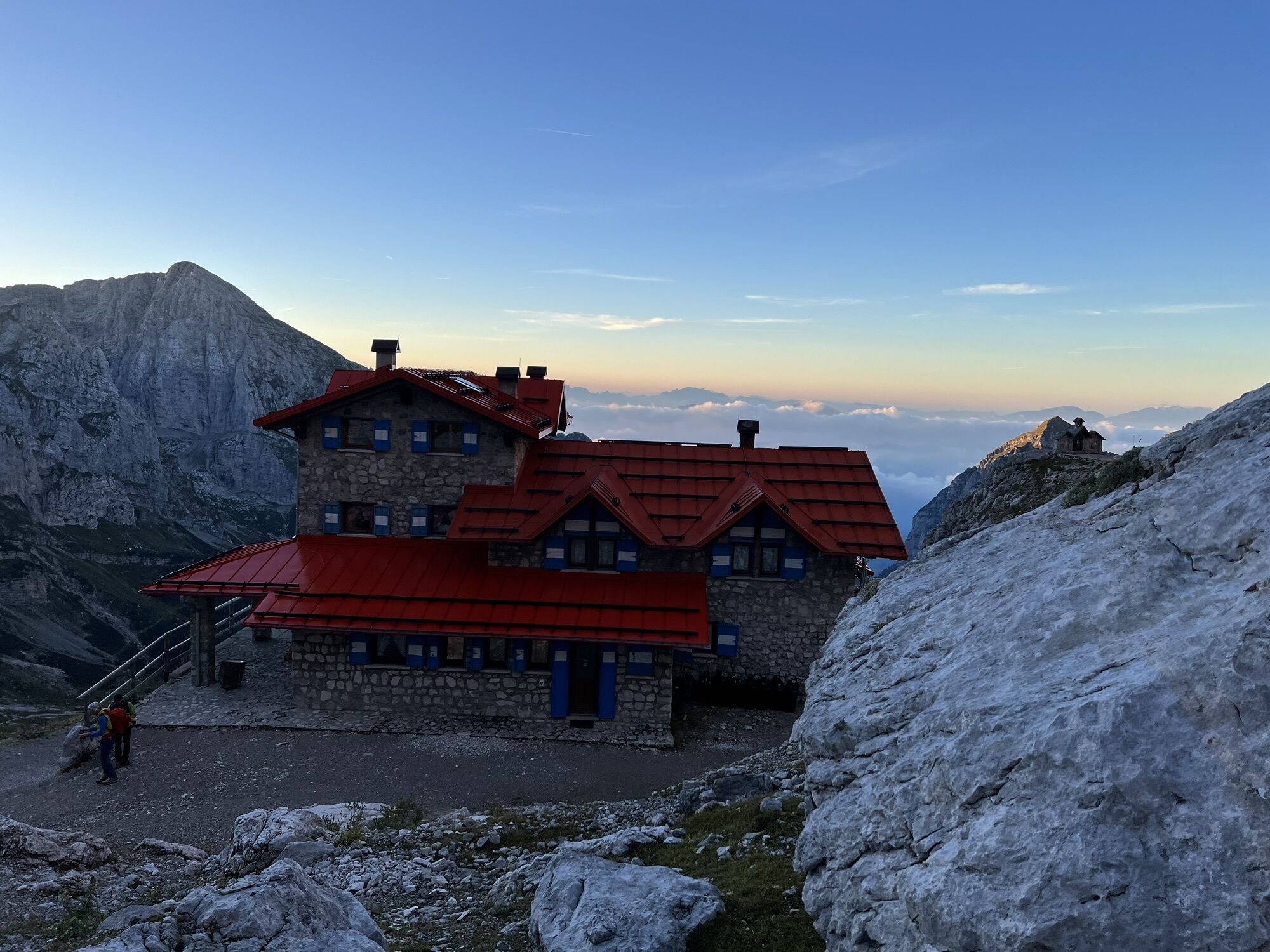
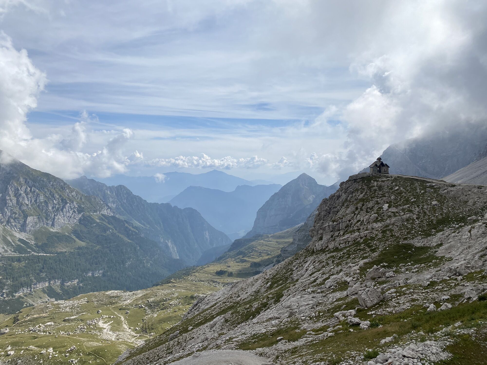
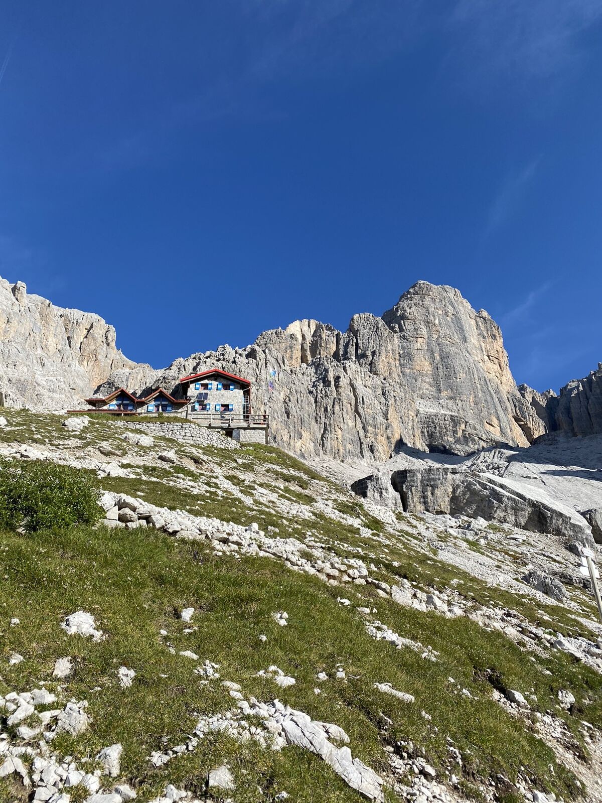
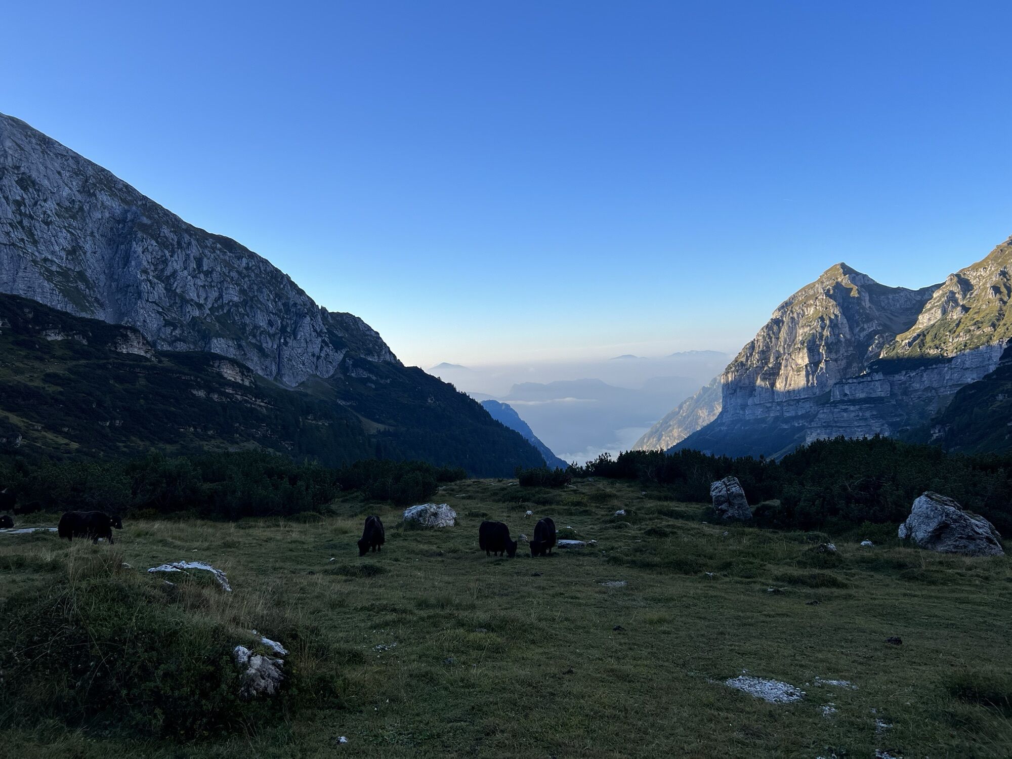
Continue north with a constant incline (still along trail No. 325) passing beneath the east wall of Cima Pratofiorito. This brings you to Rifugio Agostini ( 2410 m ) surrounded by Cima D'Agola, Cima Ambiez and Cima Tosa. Looking down to the south you can just about see Val Ambiez, the Giudicarie valleys and Lake Garda.
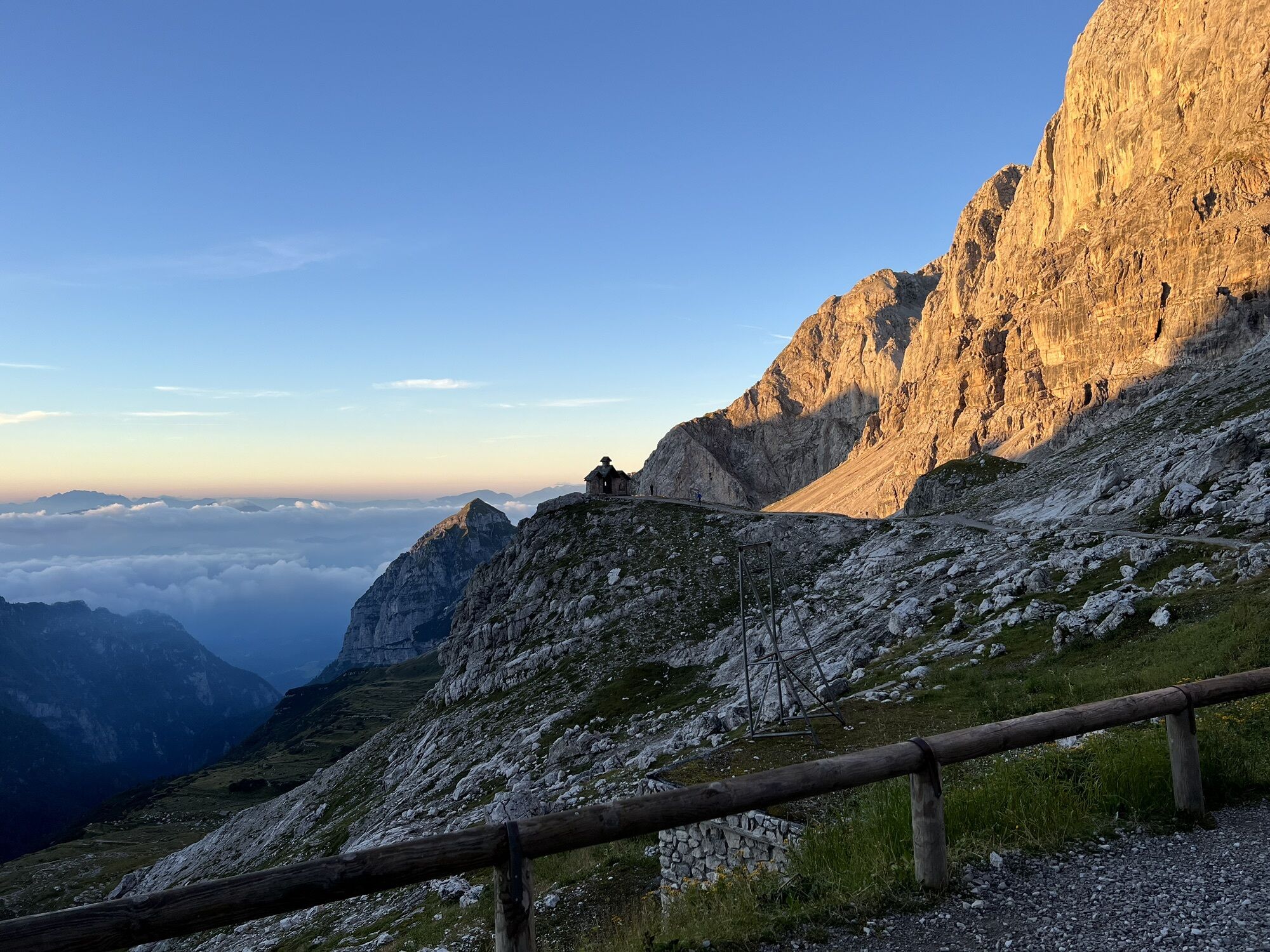
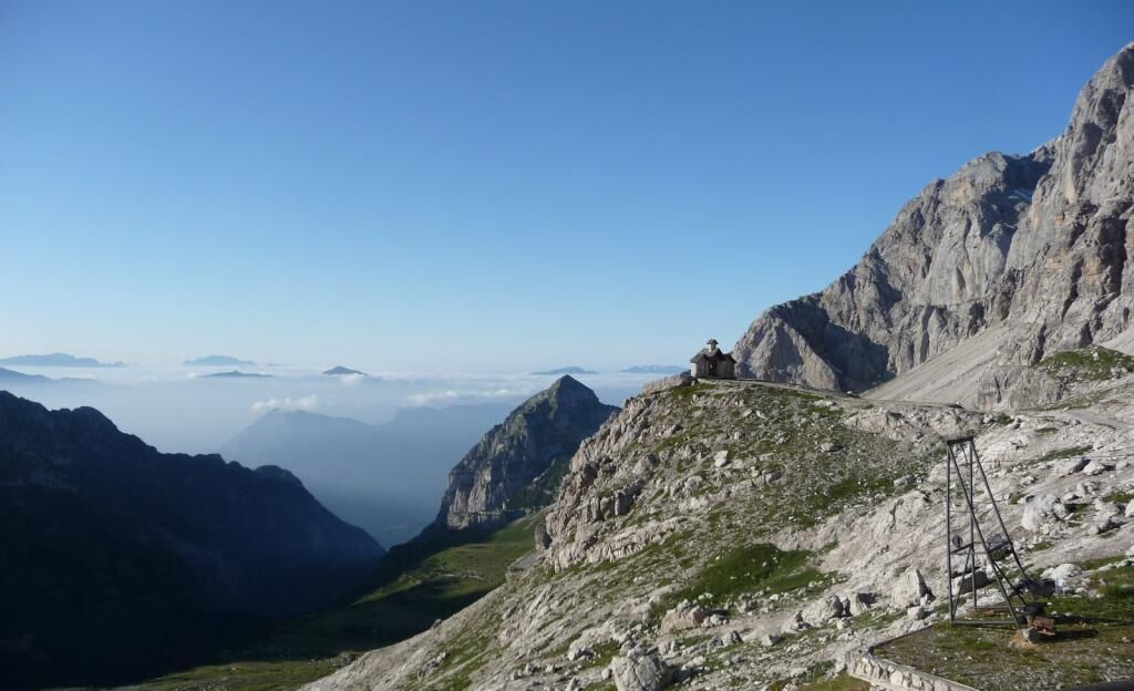
After a well-deserved rest you make your way back to the departure point. The quickest route is to follow trail No. 325b (signposted), which more or less coincides with the mule track linking “Rifugio Agostini” and “Rifugio Al Cacciatore”. However, a short detour will take you – along trail No. 320 Palmieri - up to the “Forcolotta di Noghera”, an awe-inspiring observation point on the ridge of the Molveno hollow. From the col trace your steps back along trail No. 320 (in the direction of Rifugio Agostini), for about 400 m , and then take the clearly beaten track that descends towards Val Ambiez and rejoins trail No. 325 just above Malga Prato di Sopra, from where it is a short walk to Rifugio Al Cacciatore.
Trekking shoes are a must; useful: telescopic walking sticks.
1) Prepare your itinerary
2) Choose a route that is suitable for your skill level
3) Choose suitable equipment and gear
4) Consult the snow/weather bulletins
5) Heading out on your own is more risky
6) Leave information on your itinerary and on the approximate time you expect to return
7) Do not hesitate to seek the support of a professional
8) Pay attention to the information and signs that you find along the trail
9) Do not hesitate to follow your steps backwards
10) In case of an accident, sound the alarm by calling the emergency number 112.
Please note that the practicability of the itineraries in a mountain environment is strictly linked to the contingent conditions and is therefore influenced by natural phenomena, environmental changes and weather conditions. For this reason, the information contained in this page may have changed. Before leaving for a tour, make sure the path you will approach is still accessible by contacting the owner of the mountain hut, the alpine guides or the visitor centres of the nature parks, the info offices of the local tourist board. The track is not recommended with fog.
Drive to San Lorenzo in Banale on the SS421 national road, from either the Giudicarie valleys or the Altipiano della Paganella. Just above the church of San Lorenzo take the road to Val d’Ambiez. Follow the directions, through several suggestive hamlets, and continue to the car park at the entrance to Val d’Ambiez (Loc. Baesa), from where you can take the Jeep Taxi service to Rifugio al Cacciatore (info at www.taxijeepbosetti.com or www.taximargonari.com).
Servizio Taxi Jeep per raggiungere il Rifugio al Cacciatore.
Per info sul Taxi Jeep: www.taxijeepbosetti.com o www.taximargonari.com
If you take the circular detour up to the Forcolotta di Noghera be careful on the stretch connecting trail Nos. 320 and 325b, which is rather steep, very much so at times. Do not leave the beaten track. The track is not recommended with fog.
The GPS track follows the circular route with the detour towards the Forcolotta di Noghera.
Obľúbené výlety v okolí
-
4,2
Malga Movlina and Rifugio XII Apostoli
strednáTuristika 11,5 km -
4,5
The Calavino Water Channel
strednáTuristika 3,79 km -
5,0
Via Ferrata Rino Pisetta - Dain Piccolo
ťažkéVia ferrata 5,89 km -
3,5
Rifugio Selvata
strednáTuristika 12,1 km -
4,8
San Lorenzo Dorsino - Ponte Romano - Molveno
svetloTuristika 10,6 km -
5,0
Val Ambiéz: walking in the Brenta Dolomites
ťažkéTuristika 18,1 km -
Via Ferrata Che Guevara - Monte Casale
ťažkéVia ferrata 14,7 km -
4,0
Monte Casale
strednáTuristika 11,7 km -
4,6
Molveno - Ponte Romano - Parco giochi
svetloBeh 11,4 km -
4,5
Prati di Prada and the Lakes of Lamar
svetloTuristika 8,05 km
Turistika a stopovanie


Nenechajte si ujsť ponuky a inšpiráciu na ďalšiu dovolenku
Vaša e-mailová adresa bol pridaný do poštového zoznamu.