


Cima Cauriol: a symbol of the First World War
Úroveň náročnosti: T3
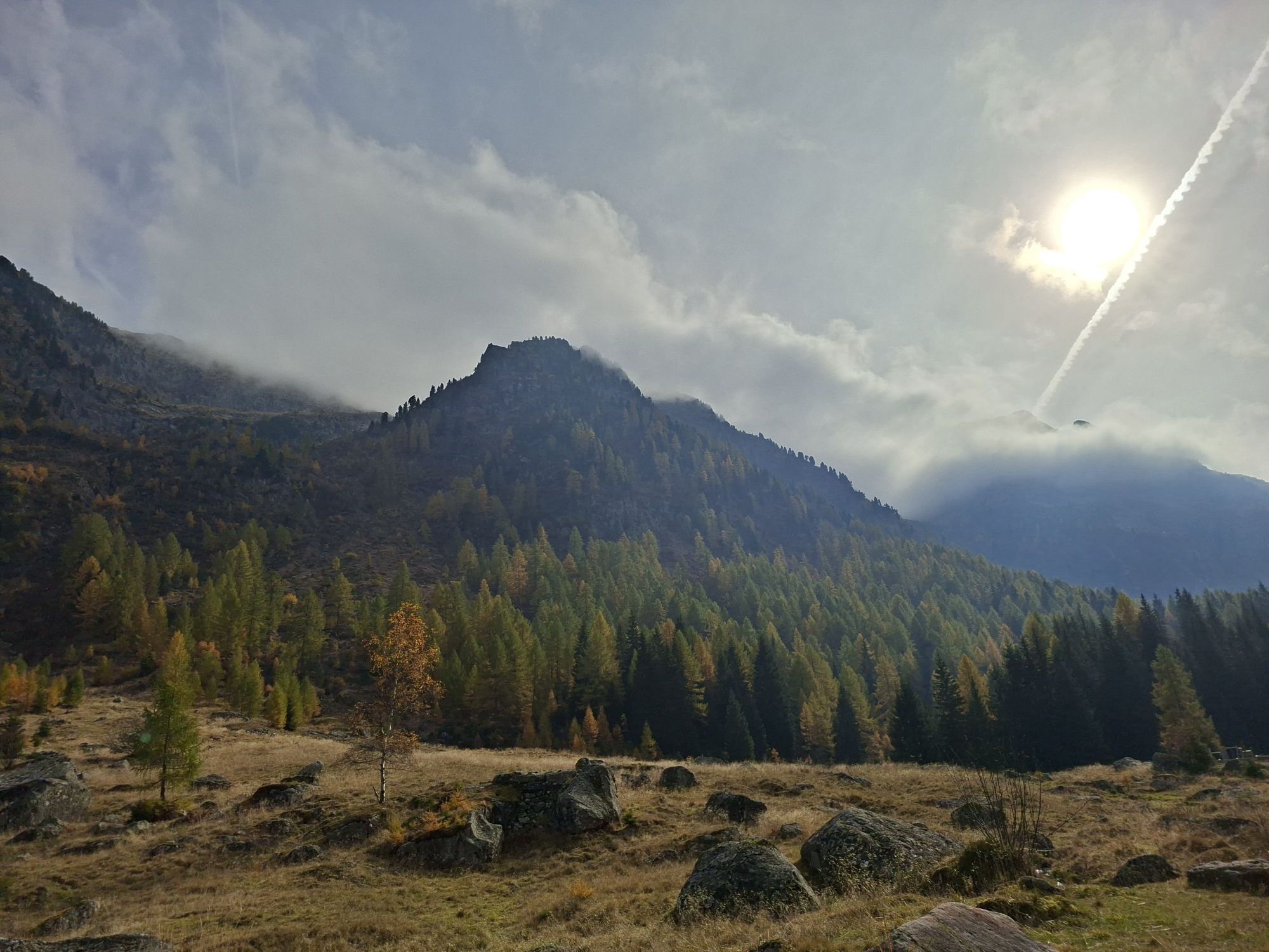
It was a very harsh winter in 1915, which saw the Italian and Austrian troops confront each other in the conquest of this symbolic peak. The bitter battles ended only in August 1916, leaving on its slopes...
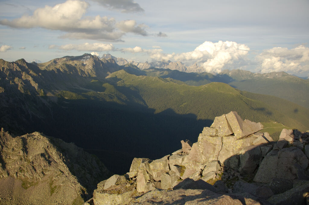
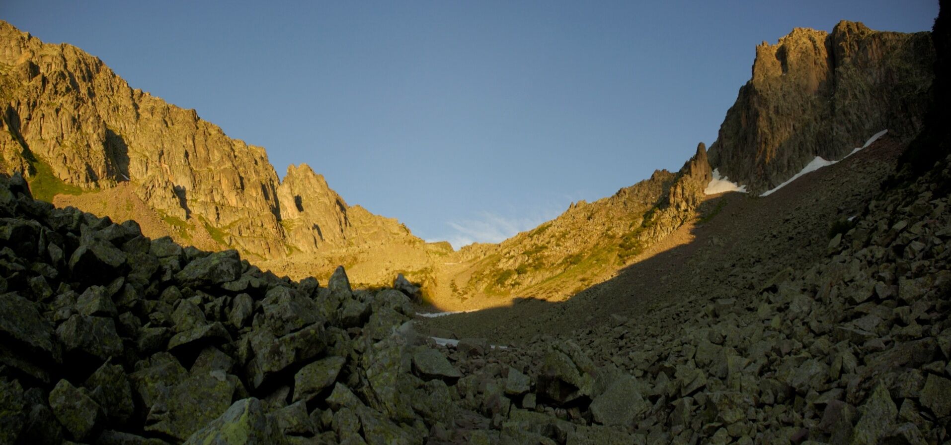
It was a very harsh winter in 1915, which saw the Italian and Austrian troops confront each other in the conquest of this symbolic peak. The bitter battles ended only in August 1916, leaving on its slopes galleries, wooden barracks, walkways, stone stairs, gunner posts, barbed wire and guard posts. It is on this historical heritage that the excursion along the "Via Austriaca" develops, a stony mule track sometimes ruined by the falling rocks over the years. The itinerary is quite demanding and long, at the beginning on roads that then become steep paths and passages on porphyritic rocks where you have to pay attention. The summit cross rises between the huge boulders and hollows created by the explosion of the bombs.
There is a source where to refuel water, immediately after Pian delle Maddalene, at an altitude of 1800 meters.
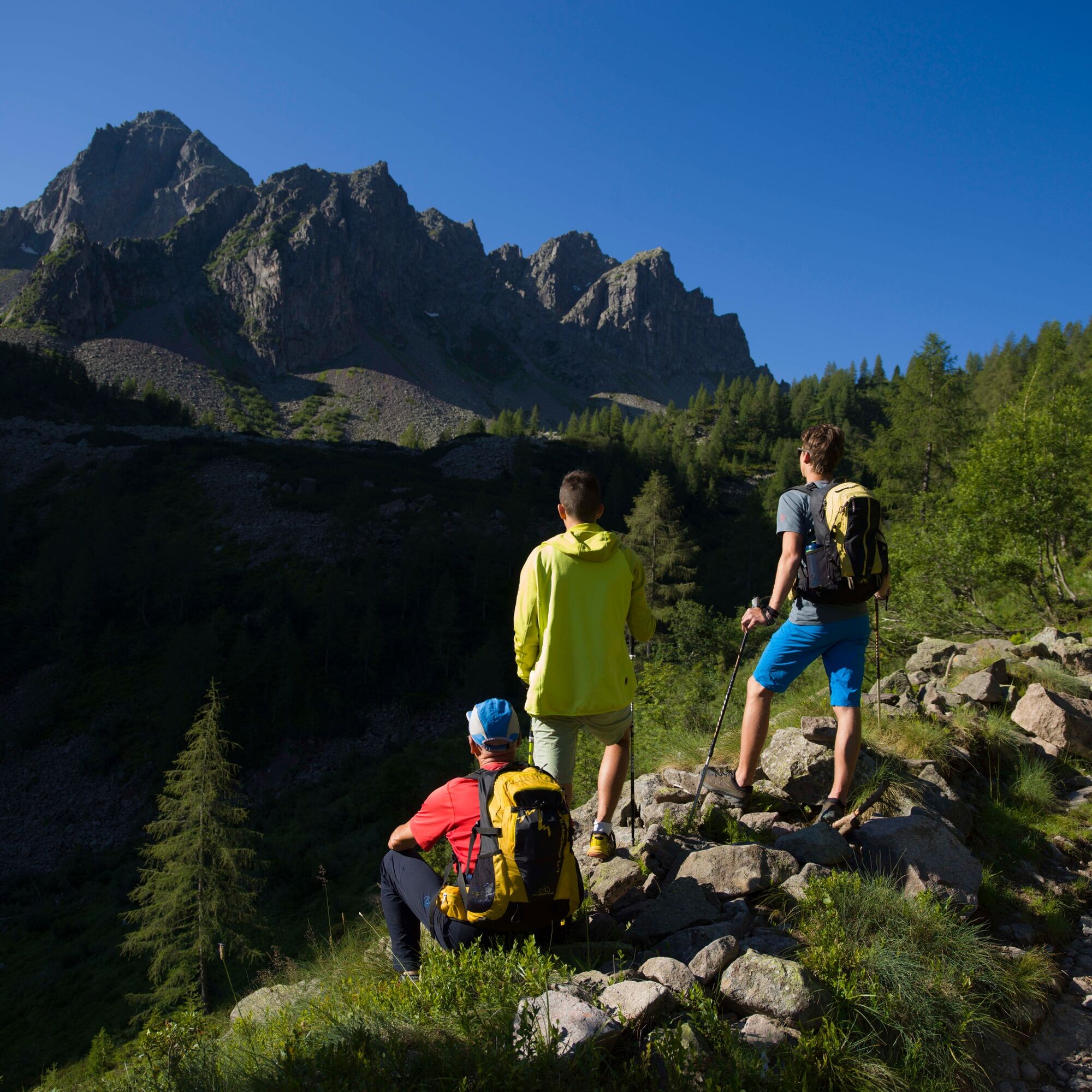
For the more experienced we recommend to reache Passo Sadole, follow the signs for the Italian way and, after reaching the top, descend on the Austrian way.

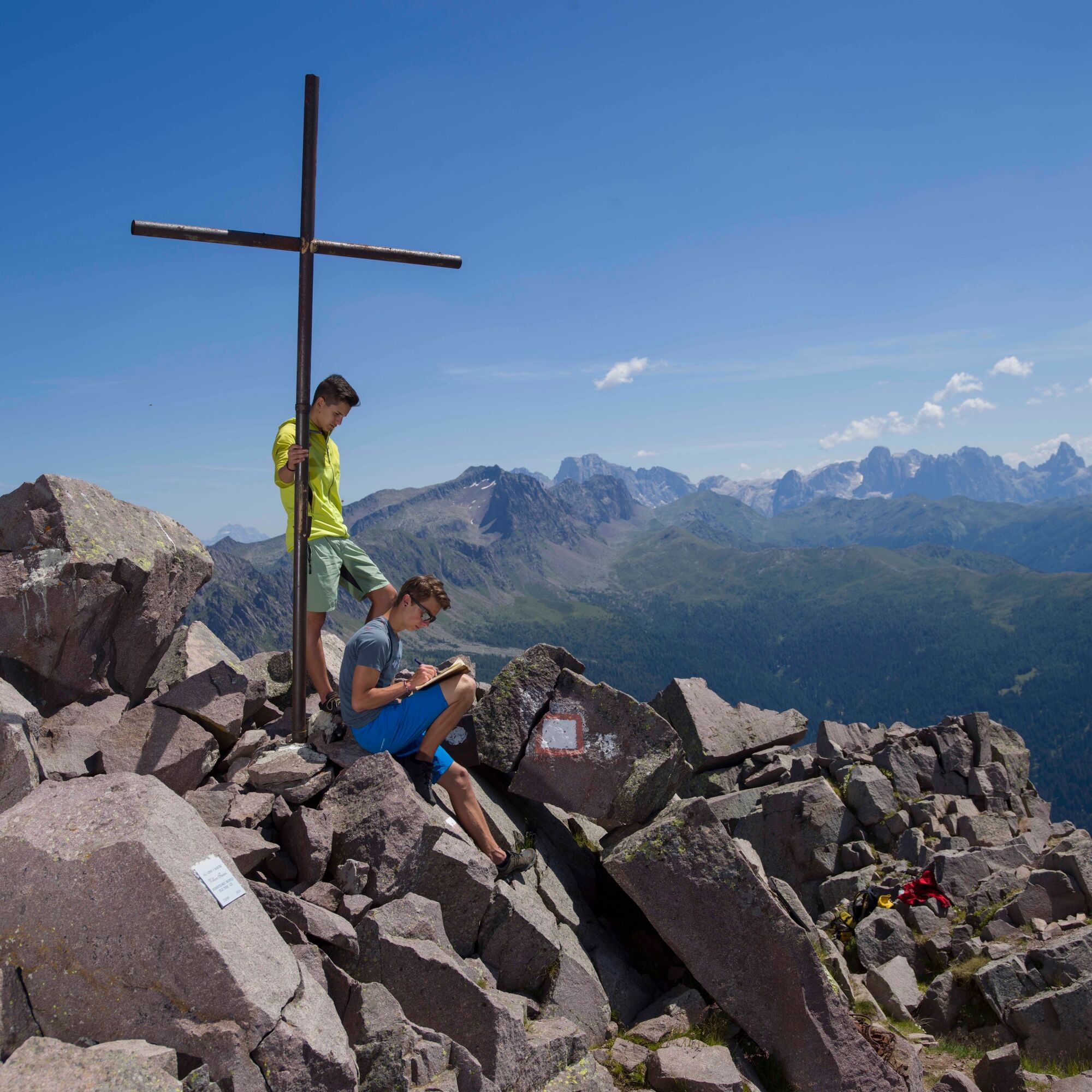
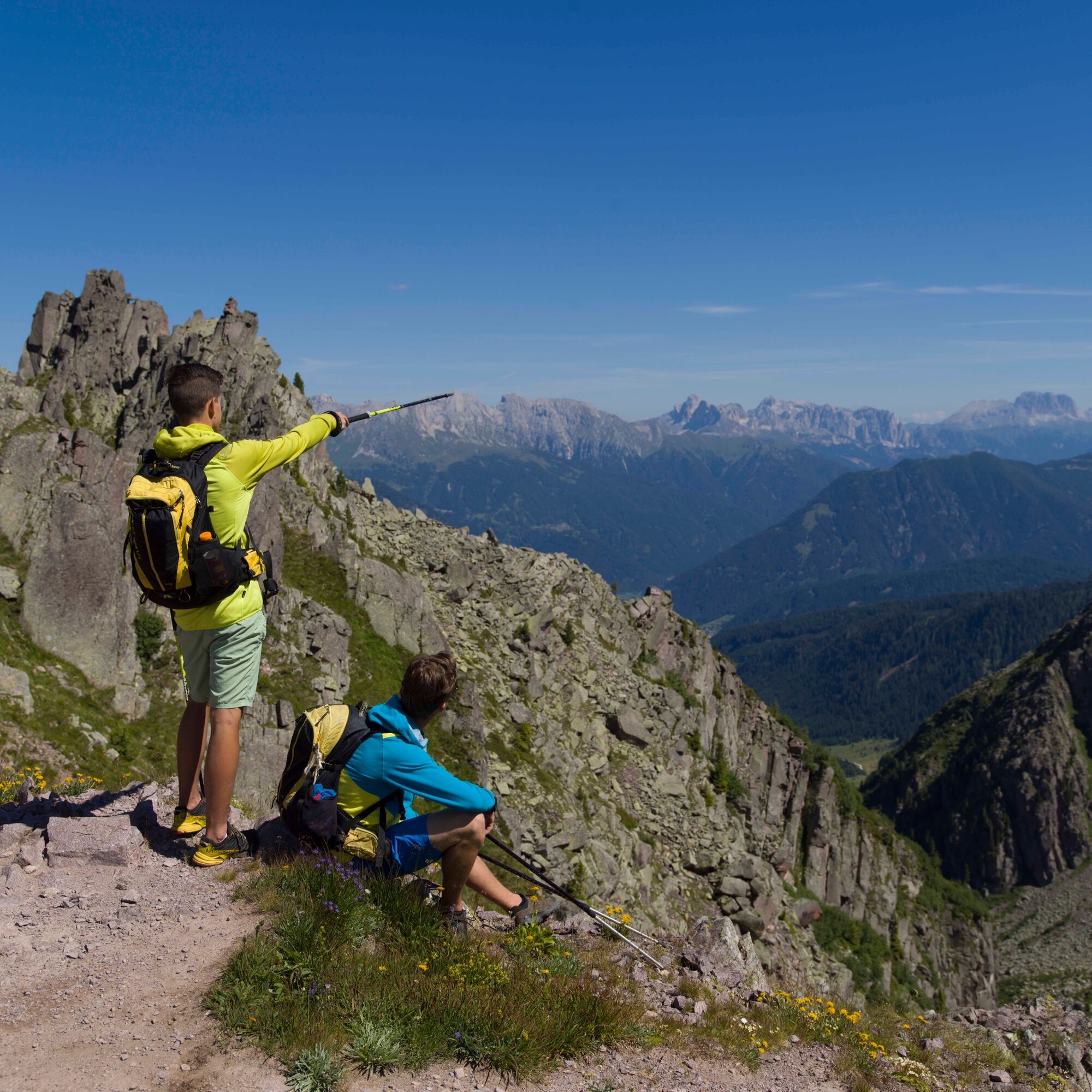
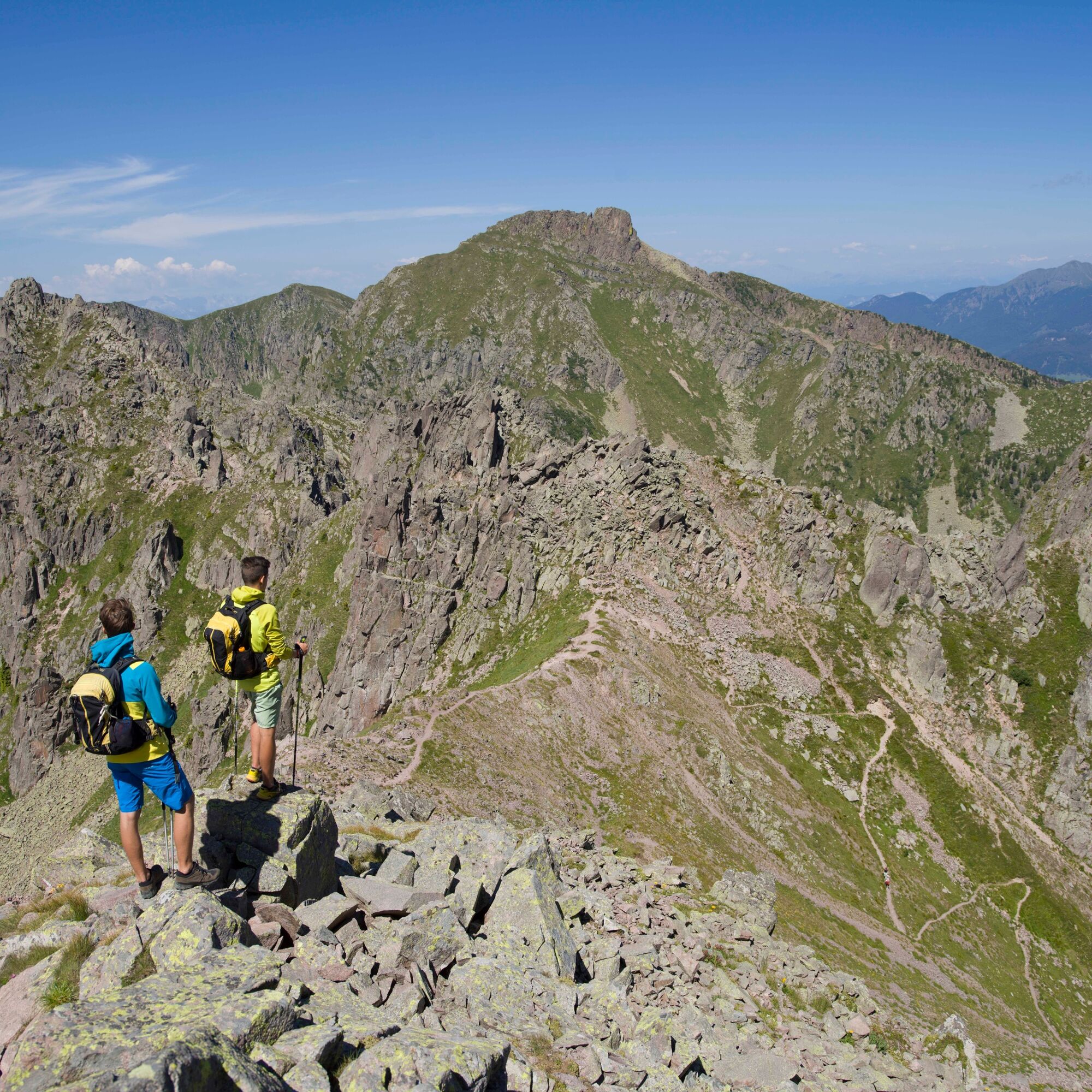
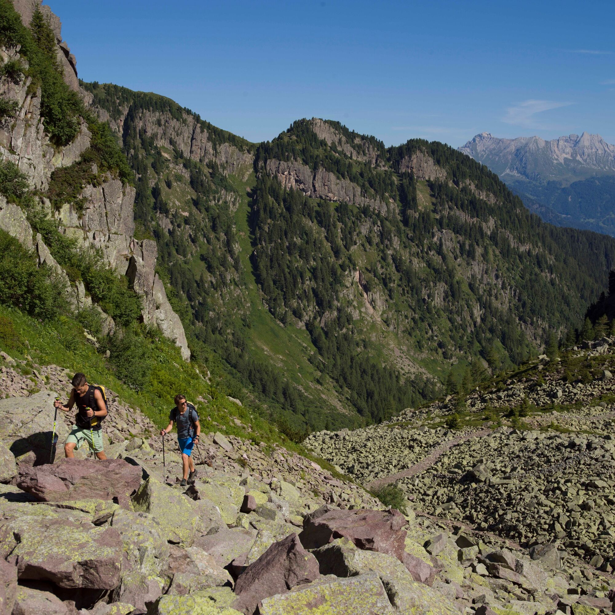
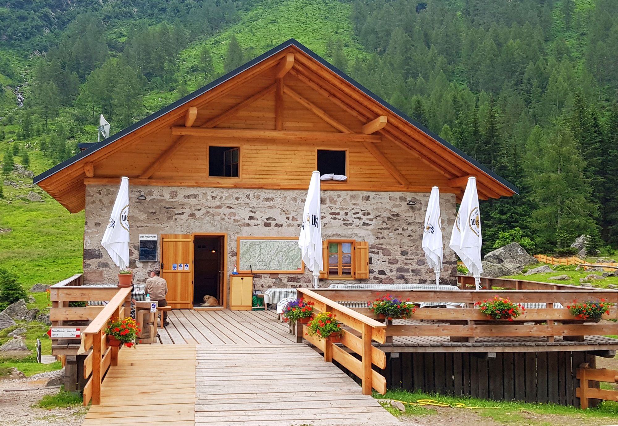
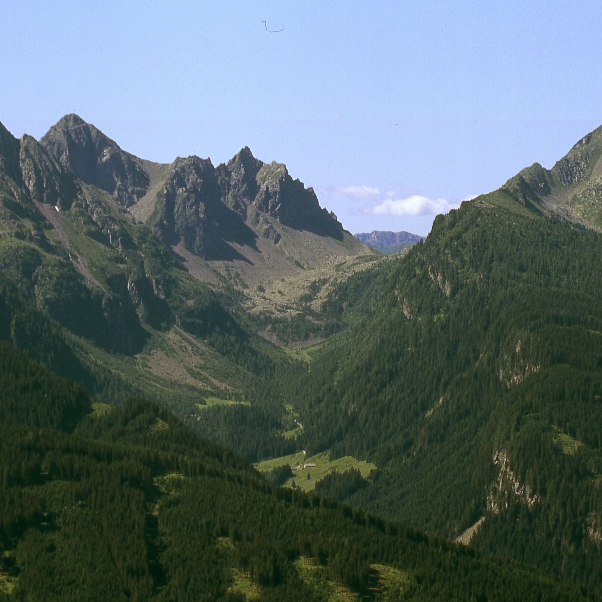
From Ziano di Fiemme reach Val di Sadole by car. From Rifugio Cauriol take the forest road to Passo Sadole (No. 320) which then becomes a mule path and a track. Before reaching the pass follow markings for “Via Austriaca” until you reach the summit of Monte Cauriol (2.494 m).
The descent is along the same way, first to Passo Sadole and from there back to Rifugio Cauriol.
The massif is sadly famous for the battles fought between Italian and Austrian forces during World War I (1915-1918). Following heavy shelling, the summit of the mountain was lowered by six metres compared to its pre-war height.
Áno
Áno
Hiking shoes, rain-jacket, hiking poles, water, sun cream
THE 10 RULES FOR HIKERS
Prepare your itinerary beforehand Choose an itinerary that suits your physical abilities Choose suitable clothes and equipment Check the weather forecast Hiking by yourself is more risky; if this is the case, take a mobile phone with you Leave information about your itinerary and your expected return time If you are not sure about your itinerary, contact an Alpine Guide Pay attention to signposts and directions that you find along your way Do not hesitate in going back if you feel too tired In case of emergency call 112Please note that the practicability of the itineraries in a mountain environment is strictly linked to the contingent conditions and is therefore influenced by natural phenomena, environmental changes and weather conditions. For this reason, the information contained in this page may have changed. Before leaving for a tour, make sure the path you will approach is still accessible by contacting the owner of the mountain hut, the alpine guides or the visitor centres of the nature parks, the info offices of the local tourist board.
From Ziano di Fiemme drive to Sadole (Rifugio Cauriol and Malga Sadole). In July and August you have to stop 400 m earlier.
Just before Cauriol hut (July and August 400 metres before).
T3
APT Val di Fiemme - Tel. +39 0462 241111 - info@visitfiemme.it - www.visitfiemme.it
To fully appreciate the excursion and the historical heritage it preserves, it would be advisable to read up on the war events in this area in advance.
Obľúbené výlety v okolí
-
4,8
Torre di Pisa mountain hut
strednáTuristika 9,09 km -
5,0
Latemar Umrundung - die Kurze und Bequeme
strednáTuristika 12,1 km -
4,8
Latemar Tour - Tour 930
strednáMountainbike 37,4 km -
4,8
Cavallazza Peak
strednáTuristika 7,82 km -
5,0
Latemar Rundwanderung
strednáTuristika 8,29 km -
4,5
Tour of Lusia Lakes
strednáTuristika 13,0 km -
4,3
The three lakes
strednáTuristika 11,1 km -
5,0
Tour of Monte Cornon
strednáTuristika 7,65 km -
5,0
Cima d’Asta (vetta via normale)
strednáTuristika 17,5 km -
Via Ferrata Campanili
strednáVia ferrata 15,3 km

Turistika a stopovanie


Nenechajte si ujsť ponuky a inšpiráciu na ďalšiu dovolenku
Vaša e-mailová adresa bol pridaný do poštového zoznamu.