


To the 'Piz delle Agole' and the little church of S. Leonardo
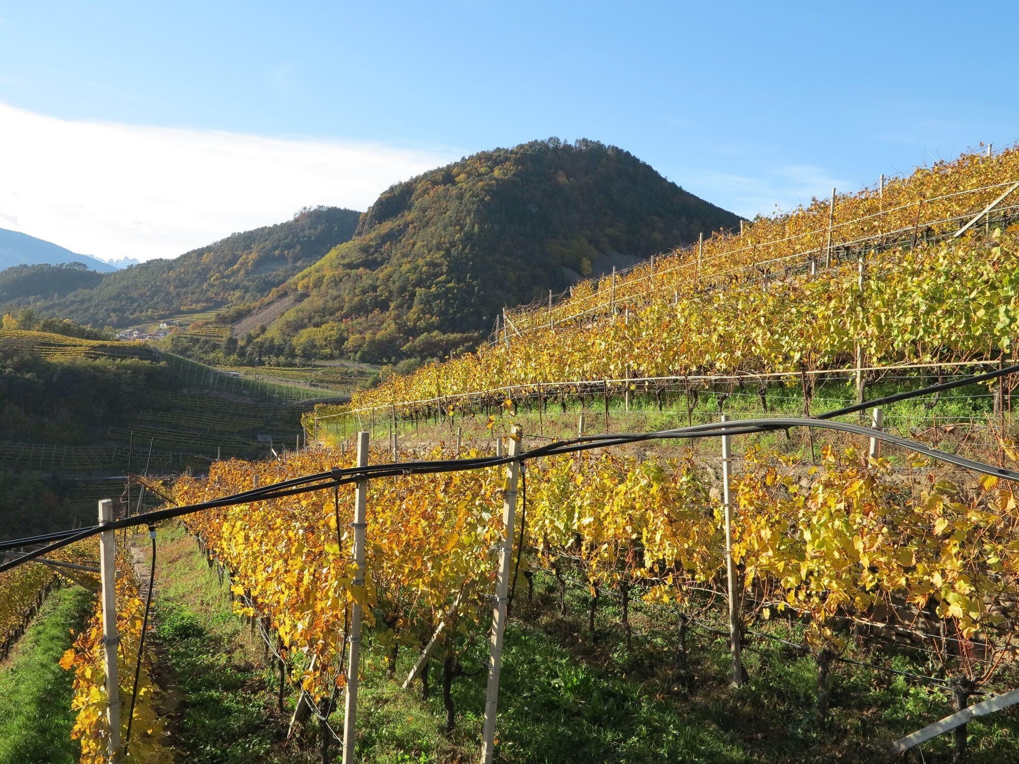
The itinerary allows you to enjoy a breathtaking view from Piz delle Agole over the Val di Cembra and to admire the characteristic porphyry and wooden huts on the way. The beautiful panoramic view of the...
The itinerary allows you to enjoy a breathtaking view from Piz delle Agole over the Val di Cembra and to admire the characteristic porphyry and wooden huts on the way. The beautiful panoramic view of the Brenta group and a visit to the small church of San Leonardo are well worth the tour.

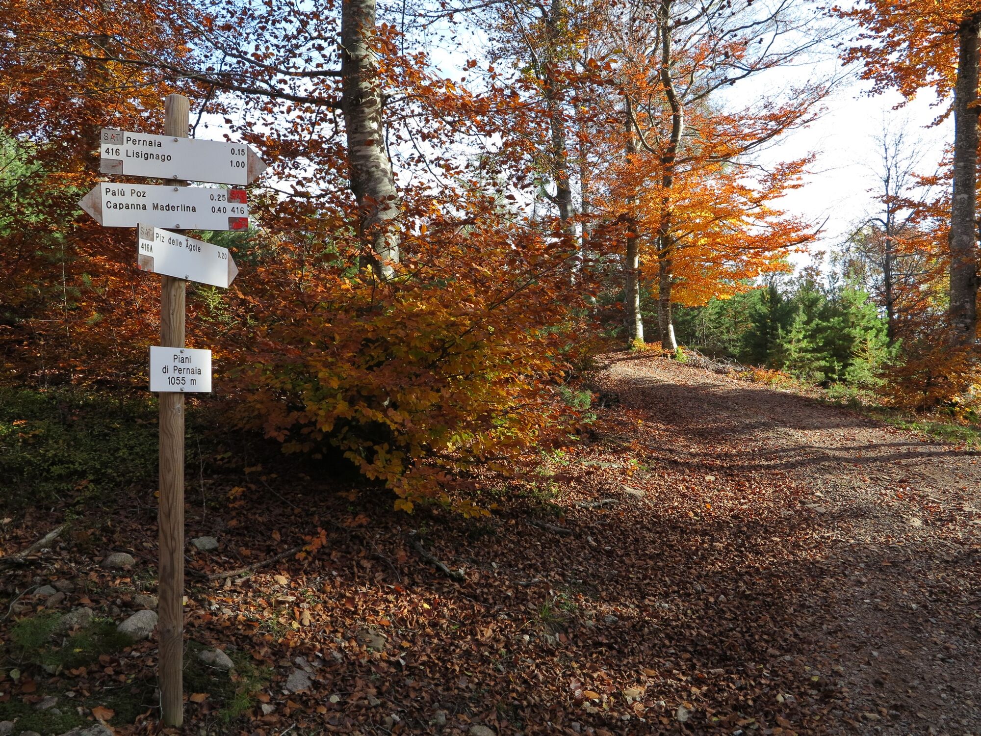
From the car park, walk back in direction of the Val di Cembra main Road and go up the road marked SAT 416 for a short distance (about 10 meters), then immediately turn left onto the paved road following the signs for "Capanna Maderlina". The road becomes a dirt road then paved with porphyry. A few meters after the Rio Gian and about 2 km from the start, take the mule track that climbs to the right (the table indicates Capanna Maderlina – Lago Santo).
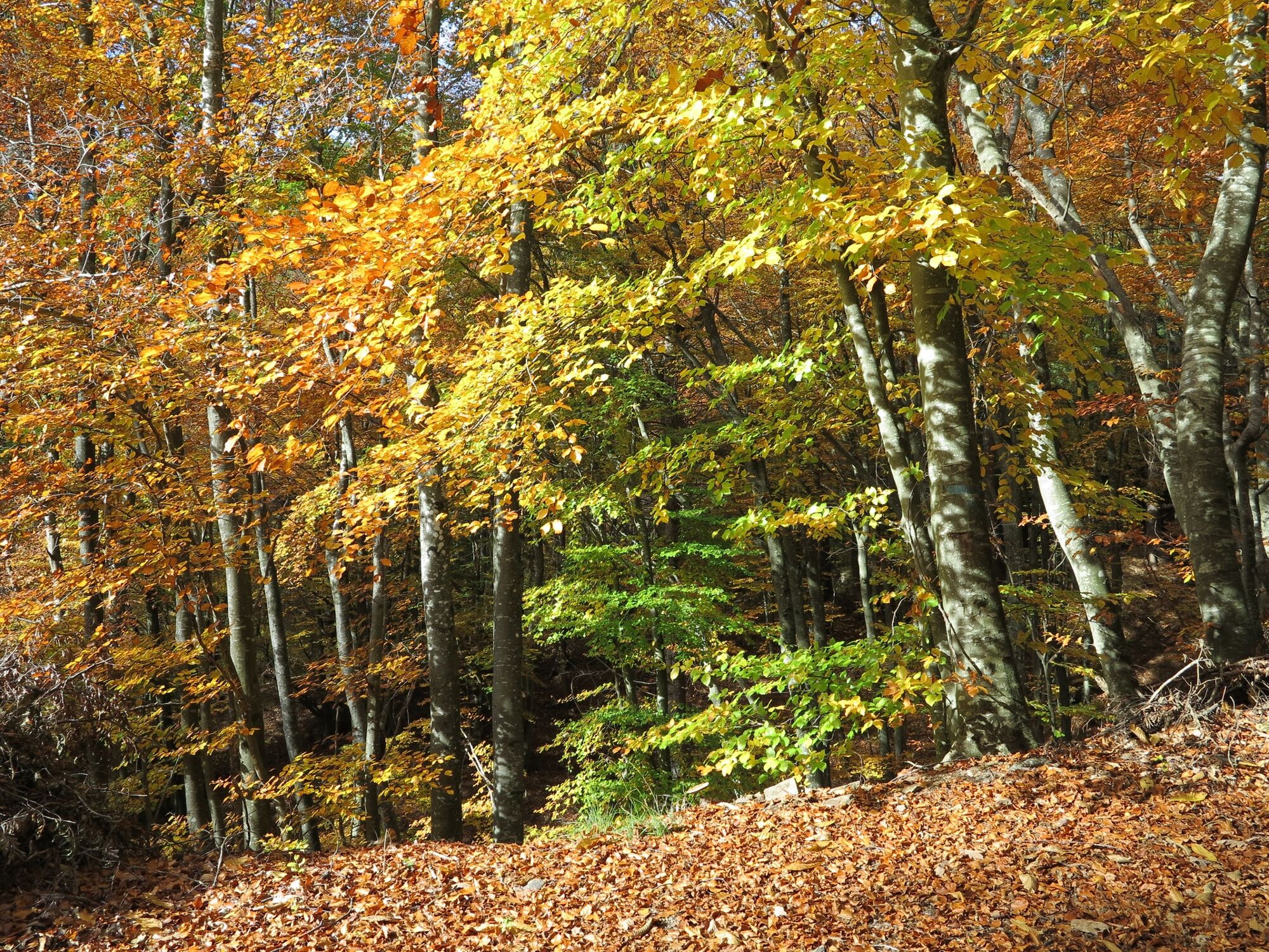
After crossing a stream on a beautiful wooden bridge, in a few minutes you reach the paved forest road. Continue north to the asphalted road that leads to the refuge. Before reaching the refuge, it is worth stopping to enjoy the view of the Brenta Group; there are also some stopping points. Arrived at the Maderlina hut, cross a playground and take a path that leads to Palù Poz, pass the junction for Lago Santo and continue towards Pernaia-Lisignago on road n. 416, along which there are to be found numerous clearings and characteristic porphyry and wood chalets.
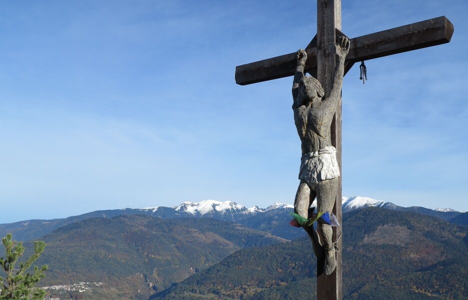
At the top of the hump, when the road begins to descend, take the tractor track to the left (marked Piz delle Agole), pass a large clearing and continue along the path through the mixed beech and black pine woods and, still on the path marked with red and white marks, reach Piz delle Agole, a suggestive panoramic point that opens out among the Scotch pines over the Valle di Cembra and the western foothills of the Lagorai.
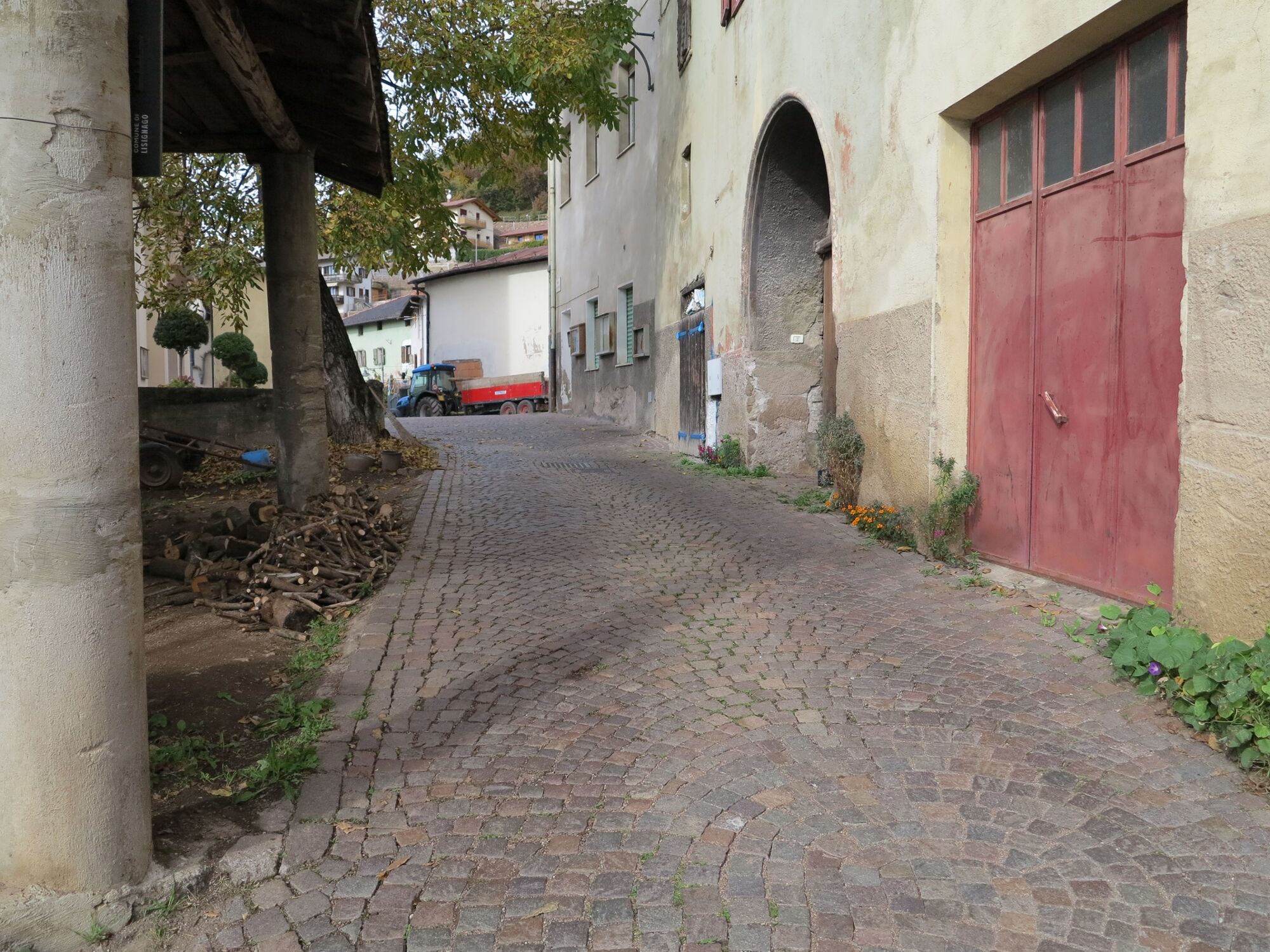
Now, in order to descend to Lisignago, we briefly return to the path we have just taken and, with signs "Lisignago 1.00" on path number 416A, we begin to descend. Having arrived at "Pernaia", follow the signs for Lisignago: now the descent becomes more technical as the path is stony, uncomfortable and a little steep in places; but don't worry, with suitable footwear you should have no problems. We then enter a sort of forest canyon and find ourselves on the road that takes us back to the village of Lisignago.
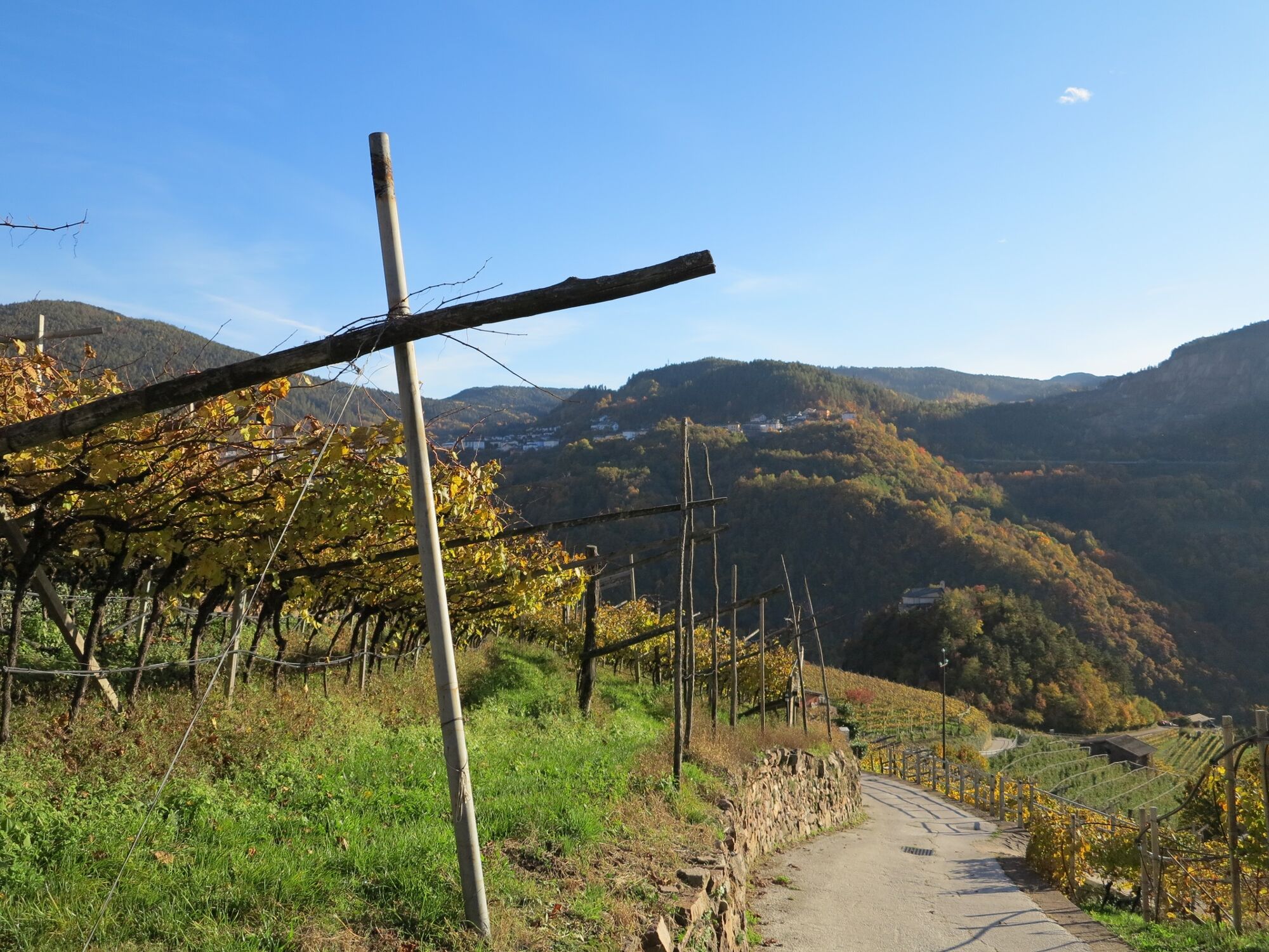
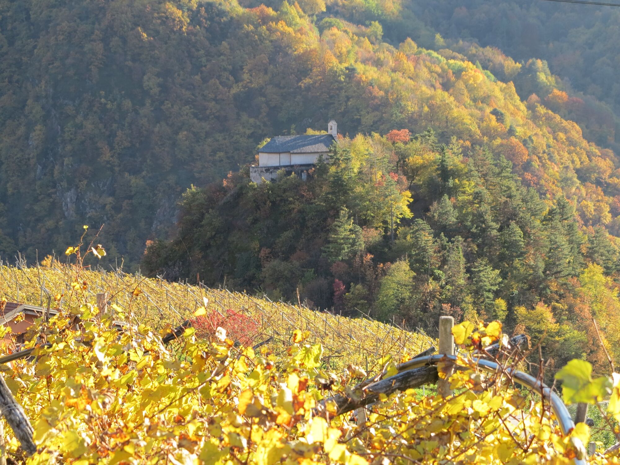
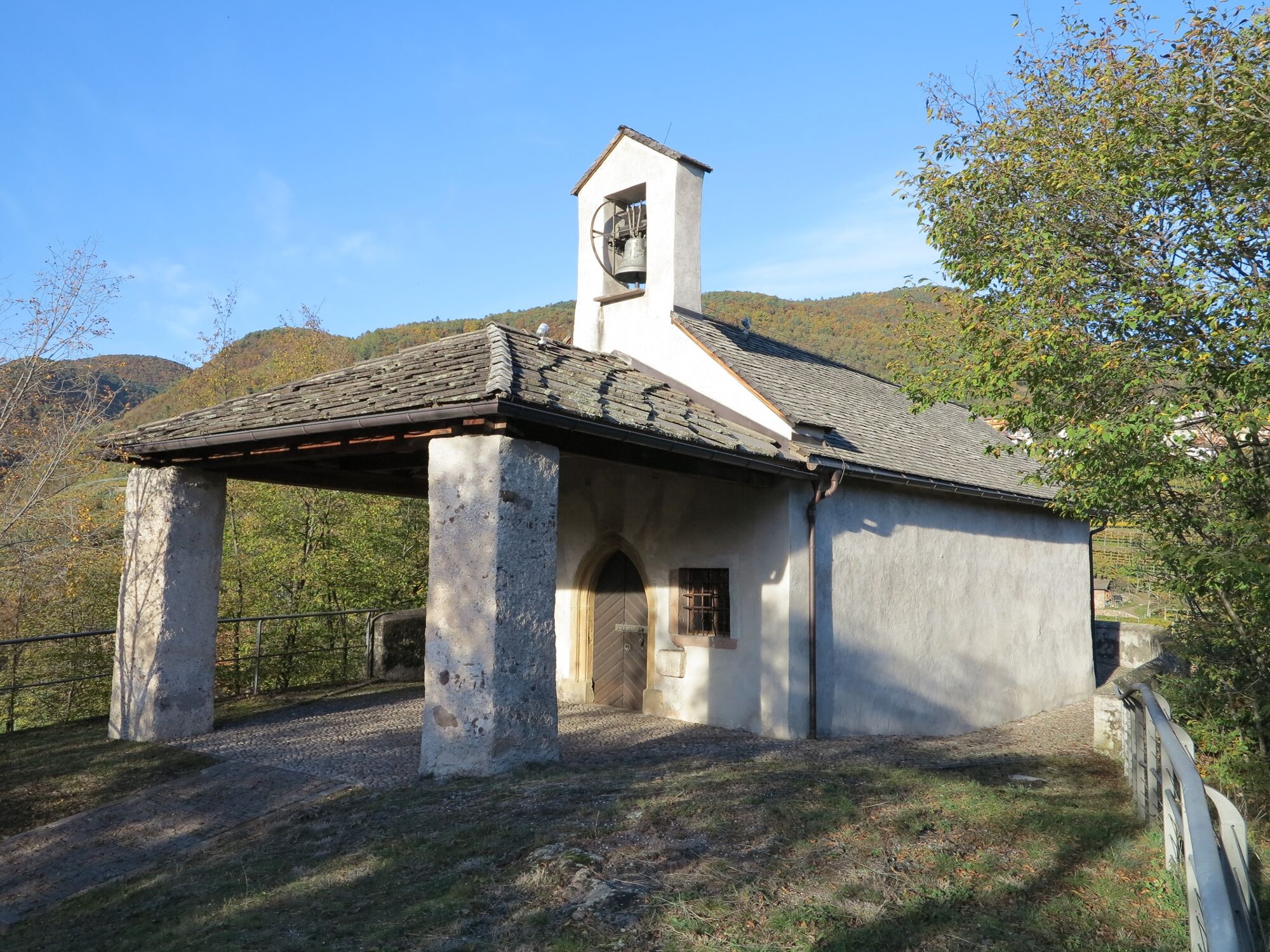
From the car park where we started, we can continue our walk and descend on the asphalted road to the ancient little church of San Leonardo, located on an overhanging hill over the Avisio. When you reach the church, you can admire its 19th-century portico, the small bell gable and the bell, cast in 2002, with a decoration designed by the artist Marco Arman. The interior is decorated with a valuable painting cycle dating back to the second half of the 15th century, created by an itinerant painter from Fiemme.
Áno
Hiking shoes, rain-jacket, hiking poles, water, snack and sun cream.
Degree of difficulty according to the common symbols: EE route (on paths and tracks)
Risks or difficulties present along the route: lack of adequate signage in a short stretch in the area of ââMount Speggia; a stone boundary wall indicates the correct way. Some sections of the path downhill after the locality of Pernaia have an "unpleasant" ground: there are stones and branches on the floor, with slightly steep sections. Pay attention!
THE 10 RULES FOR HIKERS
Prepare your itinerary beforehand Choose an itinerary that suits your physical abilities Choose suitable clothes and equipment Check the weather forecast Hiking by yourself is more risky; if this is the case, take a mobile phone with you Leave information about your itinerary and your expected return time If you are not sure about your itinerary, contact an Alpine Guide Pay attention to signposts and directions that you find along your way Do not hesitate in going back if you feel too tired In case of emergency call 112Coming from the A22 Brenner motorway, both from the south and from the north, take the Trento Nord exit, drive along the S.S. 12 of the Brennero northward untill the Lavis junction, to then pass on the S.S. 612 Lavis - Castello di Fiemme which leads to the Cembra Valley and to the town of Lisignago.
From the Trento bus station, take line B102 towards Cavalese (Trento - Cembra - Capriana - Cavalese) and get off at Lisignago.
Parking lot nearby the parish chruch of Lisignago (indication "P" present).
Ufficio Turistico Cembra - Tel. +39 0461 683110 - info@visitvaldicembra.it – www.visitvaldicembra.it
Points of interest along the route include the Piz delle Agole for the panoramic view and the little church of San Leonardo with its fine 15th-century frescoes inside. The itinerary is highly recommended in autumn for the beautiful colours offered by the broadleaf forests. N.B.: the church of San Leonardo is normally closed and is only opened upon prior request to the information office.
Aktivity počas prehliadky

Obľúbené výlety v okolí
-
4,8
Burrone Klettersteig (B)
Via ferrata 4,30 km -
3,4
Rio Secco (D)
Via ferrata 2,42 km -
4,5
Prati di Prada and the Lakes of Lamar
svetloTuristika 8,05 km -
4,7
Klettersteig Val del Ri
strednáVia ferrata 4 km -
5,0
From Cembra to Lago Santo
svetloTuristika 13,8 km -
4,3
Baselga di Piné - Marini - Ricaldo - Serraia
svetloTuristika 9,34 km -
4,5
Klettersteig Fennberg
svetloVysoké turné 11,6 km -
5,0
Tour of the Lases Lake and its sorroundings
svetloTuristika 4,71 km -
Terlago Variant
strednáMountainbike 21,3 km -
Lake Terlago Loop
svetloTuristika 3,36 km

Turistika a stopovanie


Nenechajte si ujsť ponuky a inšpiráciu na ďalšiu dovolenku
Vaša e-mailová adresa bol pridaný do poštového zoznamu.