







At Rifugio Potzmauer

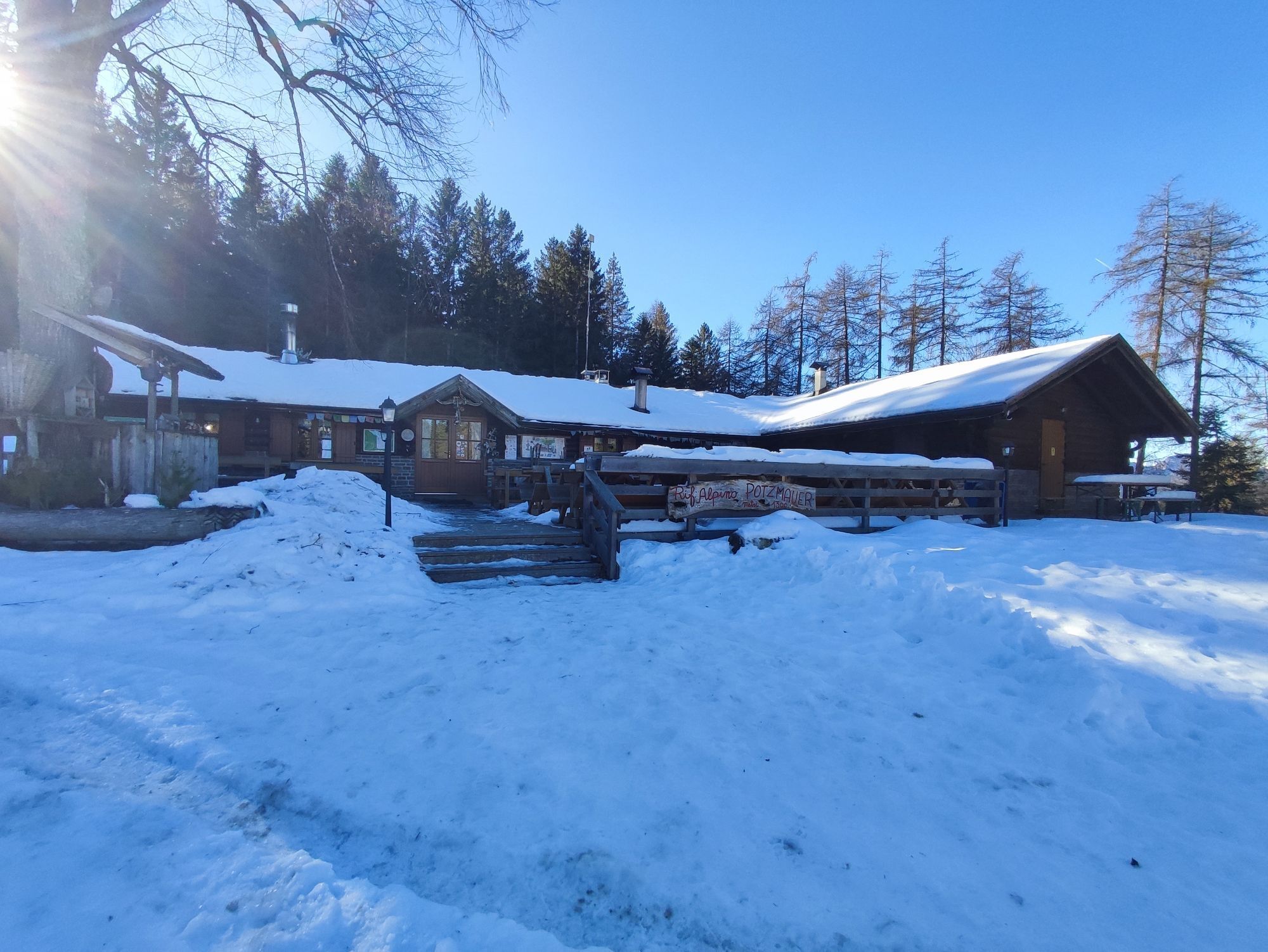
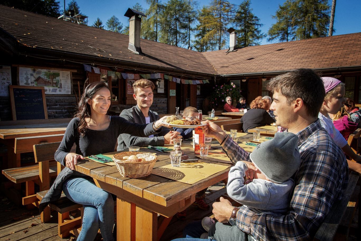
Rifugio Potzmauer is located along the famous European E5 Trail, a hiking route connecting the cities of Verona and Konstanz. Nestled at the edge of a large clearing, it is an ideal place to enjoy the...
Rifugio Potzmauer is located along the famous European E5 Trail, a hiking route connecting the cities of Verona and Konstanz. Nestled at the edge of a large clearing, it is an ideal place to enjoy the typical dishes of the refuge and also to have a picnic immersed in greenery. The refuge offers overnight accommodation.

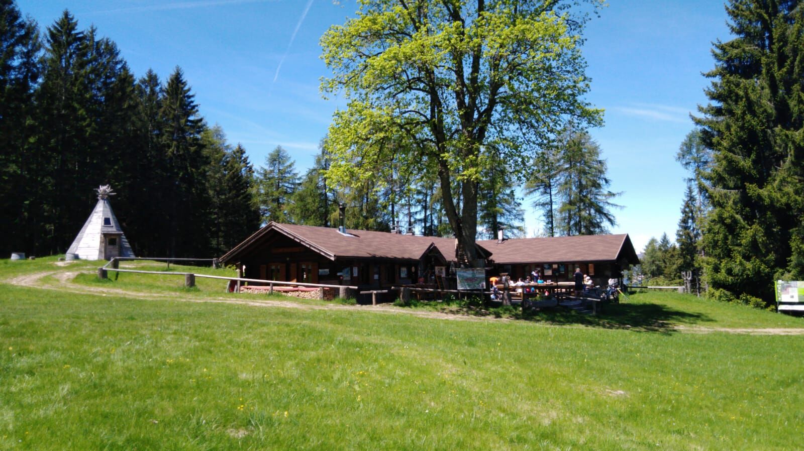
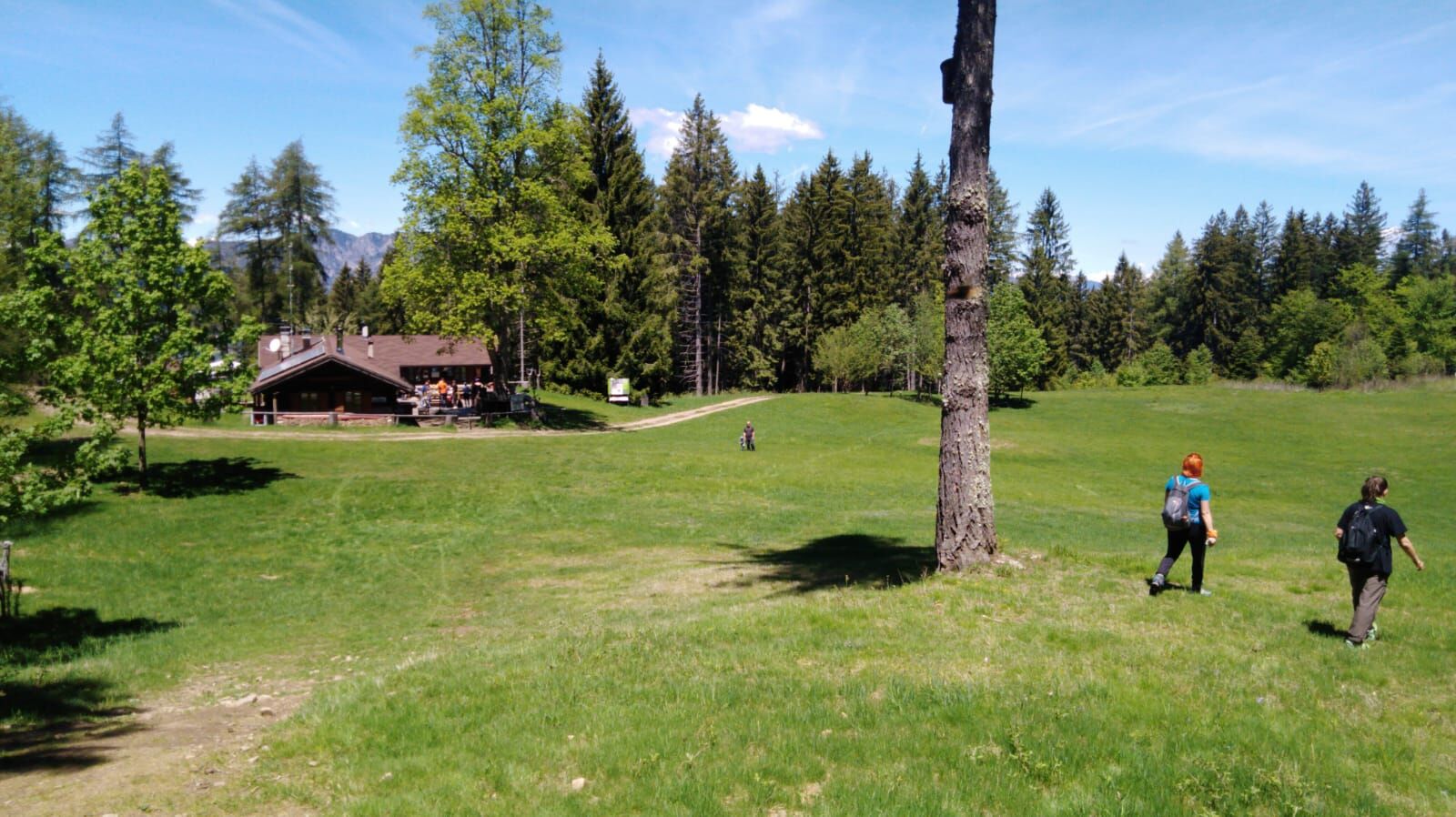
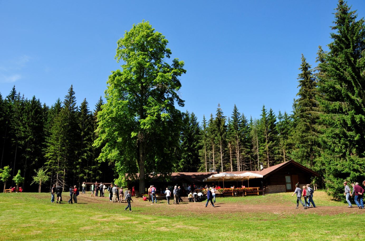

From the parking lot, follow the path towards Rifugio Potzmauer. After a few meters, take trail No. 480 which runs almost parallel to the forest road along the course of the “Rio Dei Pezzi.” The trail marker No. 480, after crossing the forest road twice, joins the path just below Passo Potzmauer (or della Cima 1350m), which is quickly reached. Following the signs for the refuge, descend into the woods and reach the beautiful clearing of Potzmauer at an altitude of 1,292m.
Return by the same route.
Áno
Áno
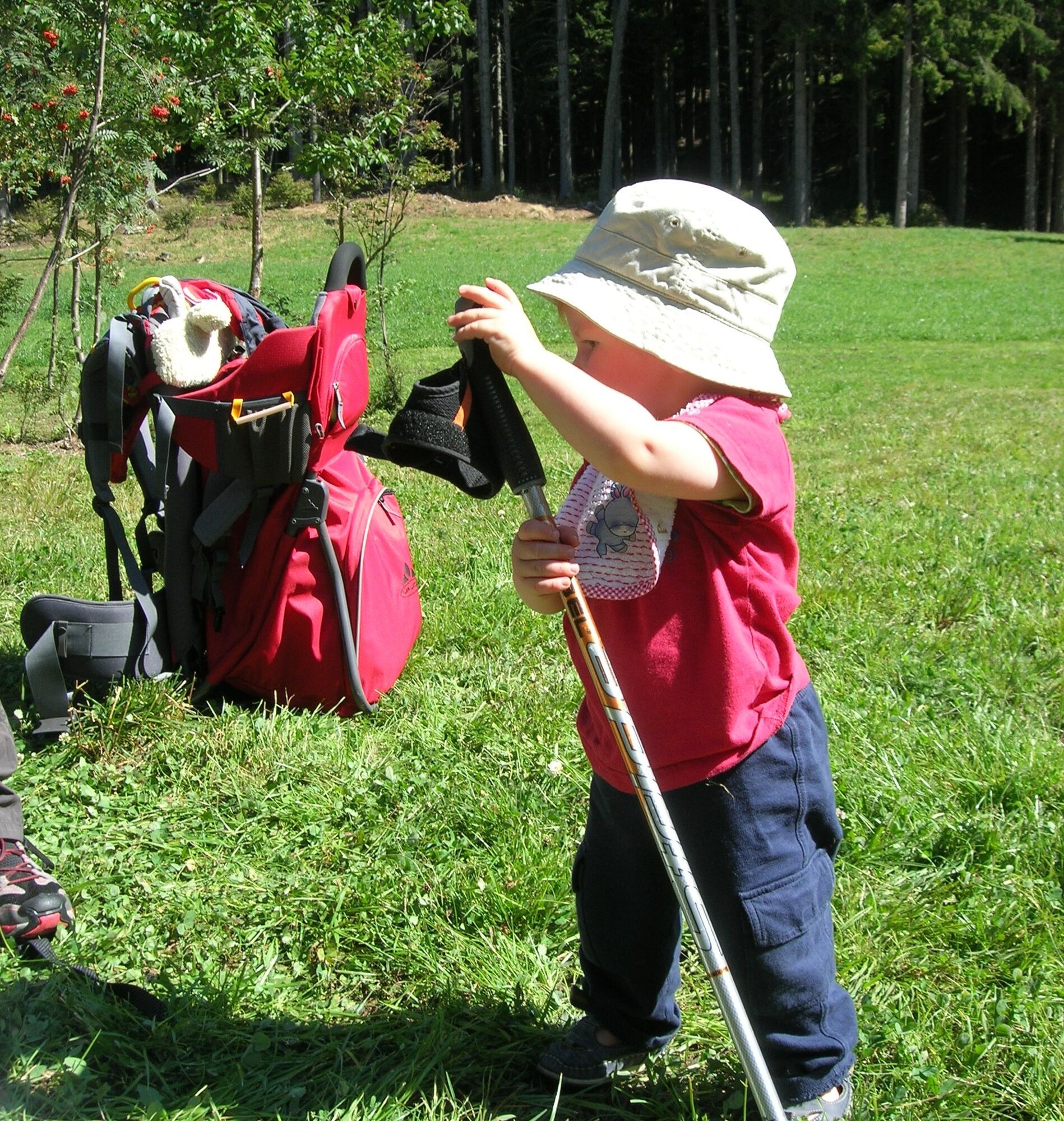
We recommend doing the walk with a child carrier backpack.
Wear gym shoes or hiking boots, waterproof jacket, water, snacks, and sunscreen.
THE 10 RULES FOR HIKERS
Study and prepare your itinerary well Choose a route suitable for your physical condition Bring appropriate clothing and equipment Check the weather forecast Going alone is risky; bring your mobile phone Leave information about your itinerary and estimated return time If unsure, do not hesitate to rely on a professional Pay attention to signs and markers along the route If tired or having problems, do not hesitate to turn back In case of accident, call 112As you can imagine, trail accessibility in a mountain environment is closely linked to current conditions and depends on natural phenomena, environmental changes, and weather. For this reason, the information in this sheet may have changed. Before leaving, check the trail status by contacting the refuge managers on your route, mountain guides, visitor centers of natural parks, and tourist offices.
From Lavis, follow the SS612 of the Val di Cembra to Grumes, where you follow signs for Rifugio Potzmauer. Pass the locality “Masi di Grumes” and reach the parking area at Pradèt.
Free parking in the locality “Pradèt.”
Cembra Tourist Office - Tel. +39 0461 683110 - info@visitvaldicembra.it – www.visitvaldicembra.it
The hike on the European E5 trail from Potzmauer to the suggestive Lago Santo is very interesting.
Obľúbené výlety v okolí
-
4,7
Malga Cislon
strednáTuristika 9,37 km -
3,3
Seerundwanderung mit Naturlehrpfad am Kalterer See
Turistika 7,30 km -
3,6
Rio Secco (D)
Via ferrata 2,42 km -
4,7
Burrone Klettersteig (B)
Via ferrata 4,30 km -
5,0
Auf den Hügel Castelfeder
svetloTuristika 3,10 km -
4,5
Zum Roen
strednáTuristika 13,9 km -
1,0
Cisloner Alm
Mountainbike 55,5 km -
5,0
Naturerlebnisweg Tramin
svetloTematická trasa 3,34 km -
3,7
Fiemme Old Railway
ťažkéCyklistika 24,3 km -
4,2
Tramin - Lochweg nach Graun
svetloTuristika 9,59 km
Turistika a stopovanie


Nenechajte si ujsť ponuky a inšpiráciu na ďalšiu dovolenku
Vaša e-mailová adresa bol pridaný do poštového zoznamu.





