Otvorená mapa
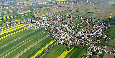
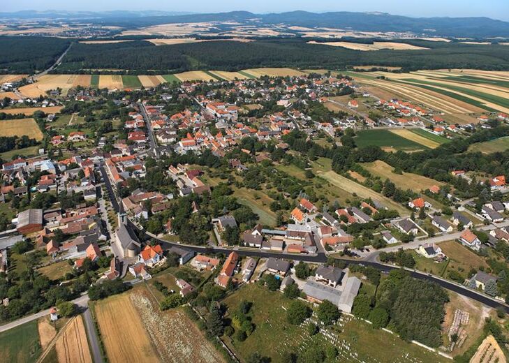
Unterfrauenhaid is located on the western shore of the Selitzabach river between Lackenbach and the foothills of the Sopron Mountains.
Source: Gemeinde Unterfrauenhaid / www.unterfrauenhaid.at
Unterfrauenhaid
278 m, Burgenland, Rakúsko
15°
18°
13°
slabý dážď
Kontaktujte nás
Marktgemeinde Unterfrauenhaid
Hauptstrasse 27, 7321 Unterfrauenhaid
+432619 7213 0
post@unterfrauenhaid.bgld.gv.at
http://www.unterfrauenhaid.at/


Turistika a stopovanie


Viac ako 550.000 návrhov výletov, podrobné mapy a intuitívny plánovač trás robia z aplikácie povinnú výbavu pre všetkých nadšencov prírody.

Nenechajte si ujsť ponuky a inšpiráciu na ďalšiu dovolenku
Prihlásiť sa k odberu noviniek
Chyba
Vyskytla sa chyba. Prosím, skúste to znova.
Ďakujeme za vašu registráciu
Vaša e-mailová adresa bol pridaný do poštového zoznamu.