




Tour of Kirmusaari, Loviisa
The history-filled tour of Kirmusaari offers almost everything the Kymijoki River has to offer in a couple of hours of paddling, only missing the rapids.
The route has many sized riverbeds, from a small...
The route has many sized riverbeds, from a small stream to a large mainstream.
Paddling along the route in the densely wooded riverbeds, one is reminded of Finland's Amatzon.

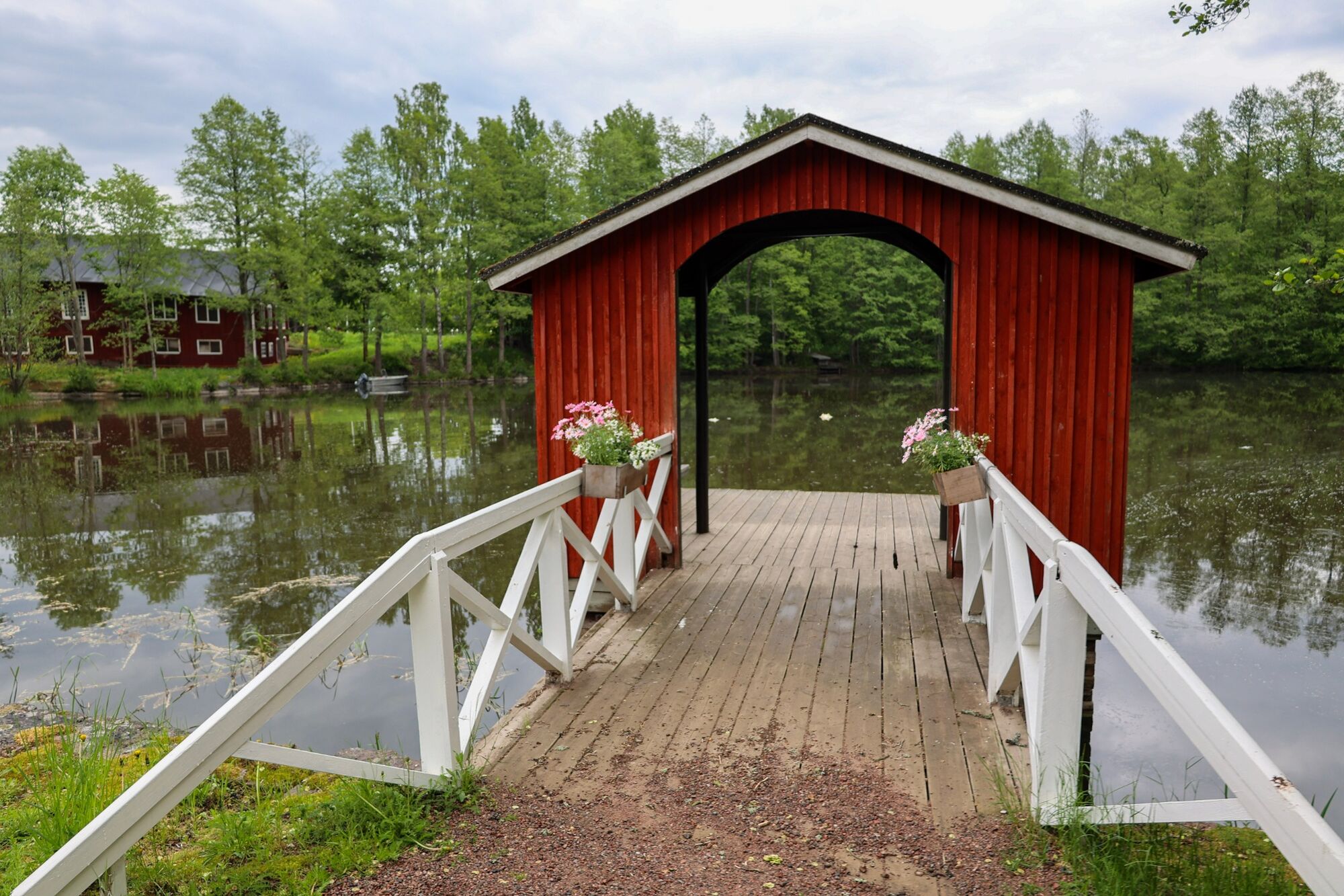
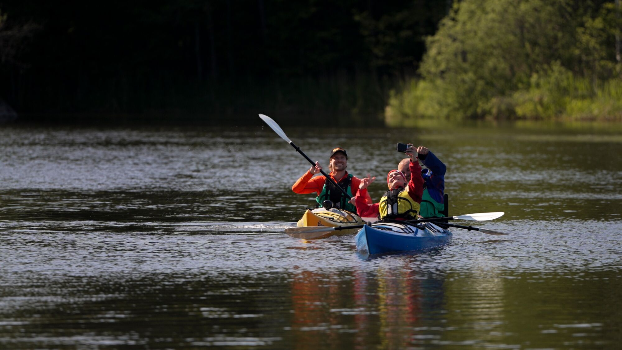
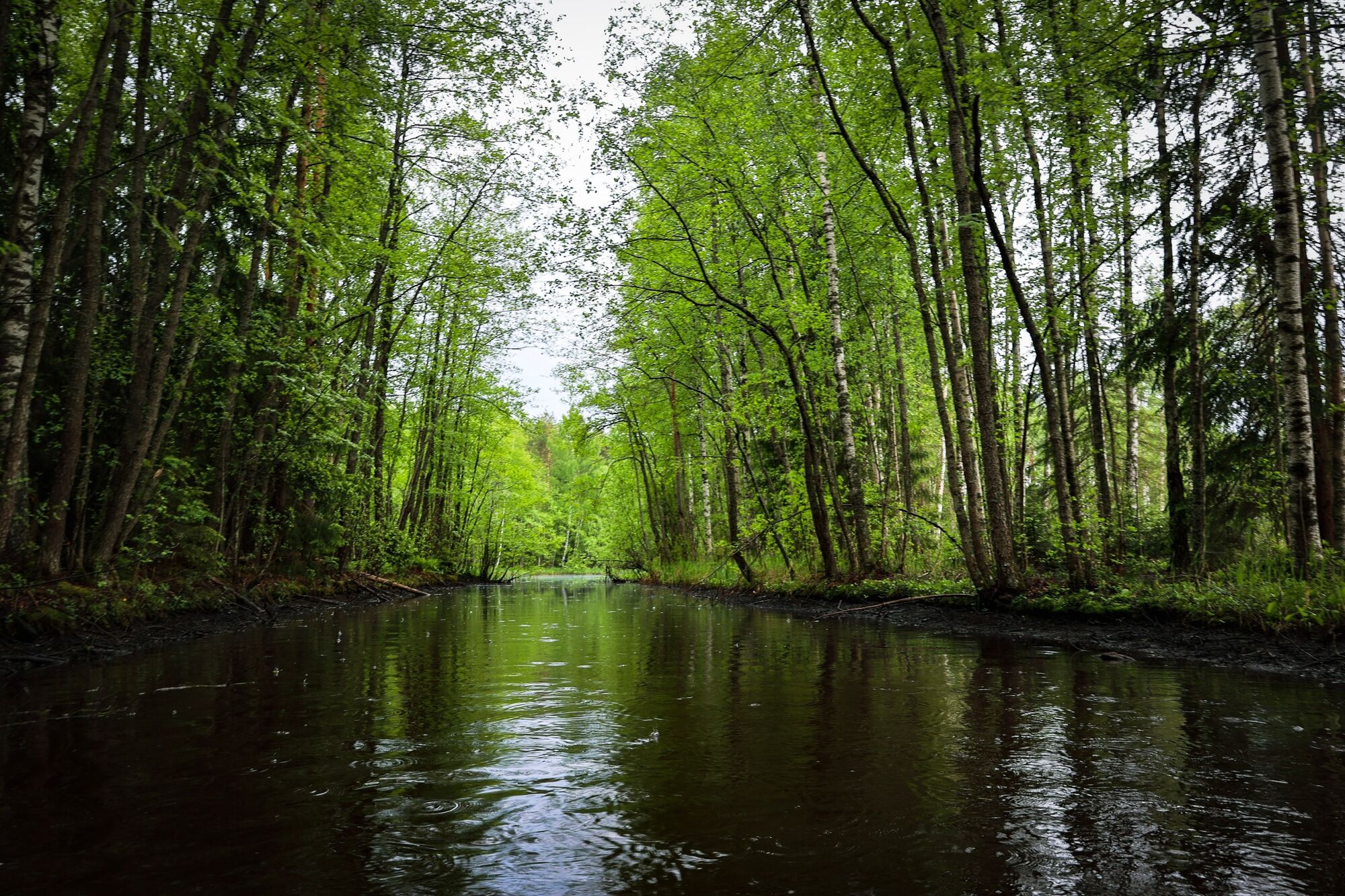
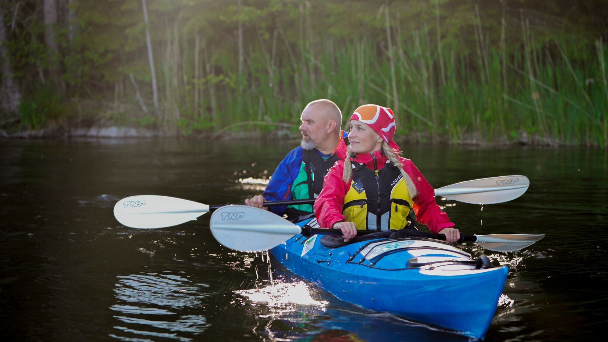
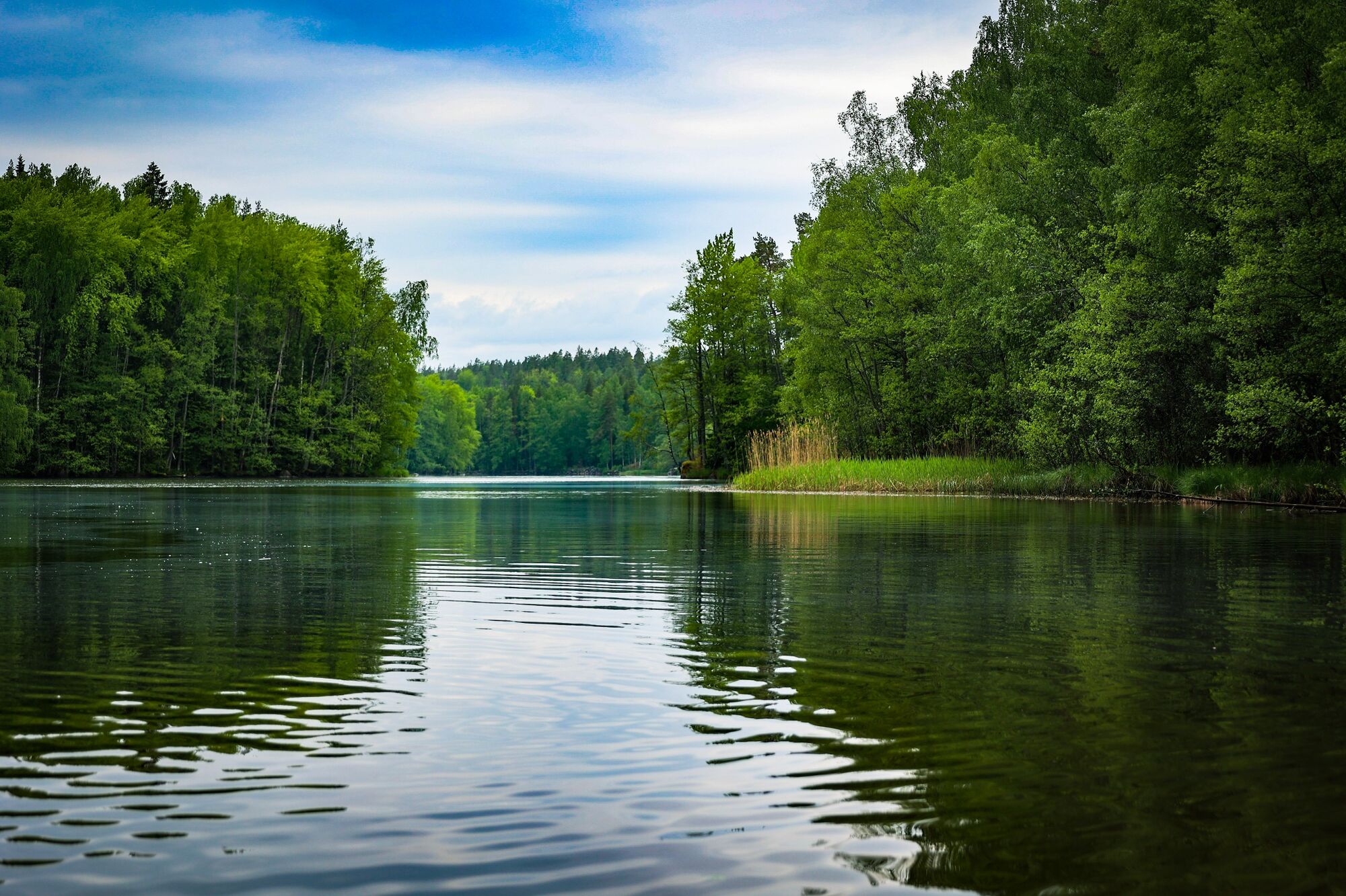
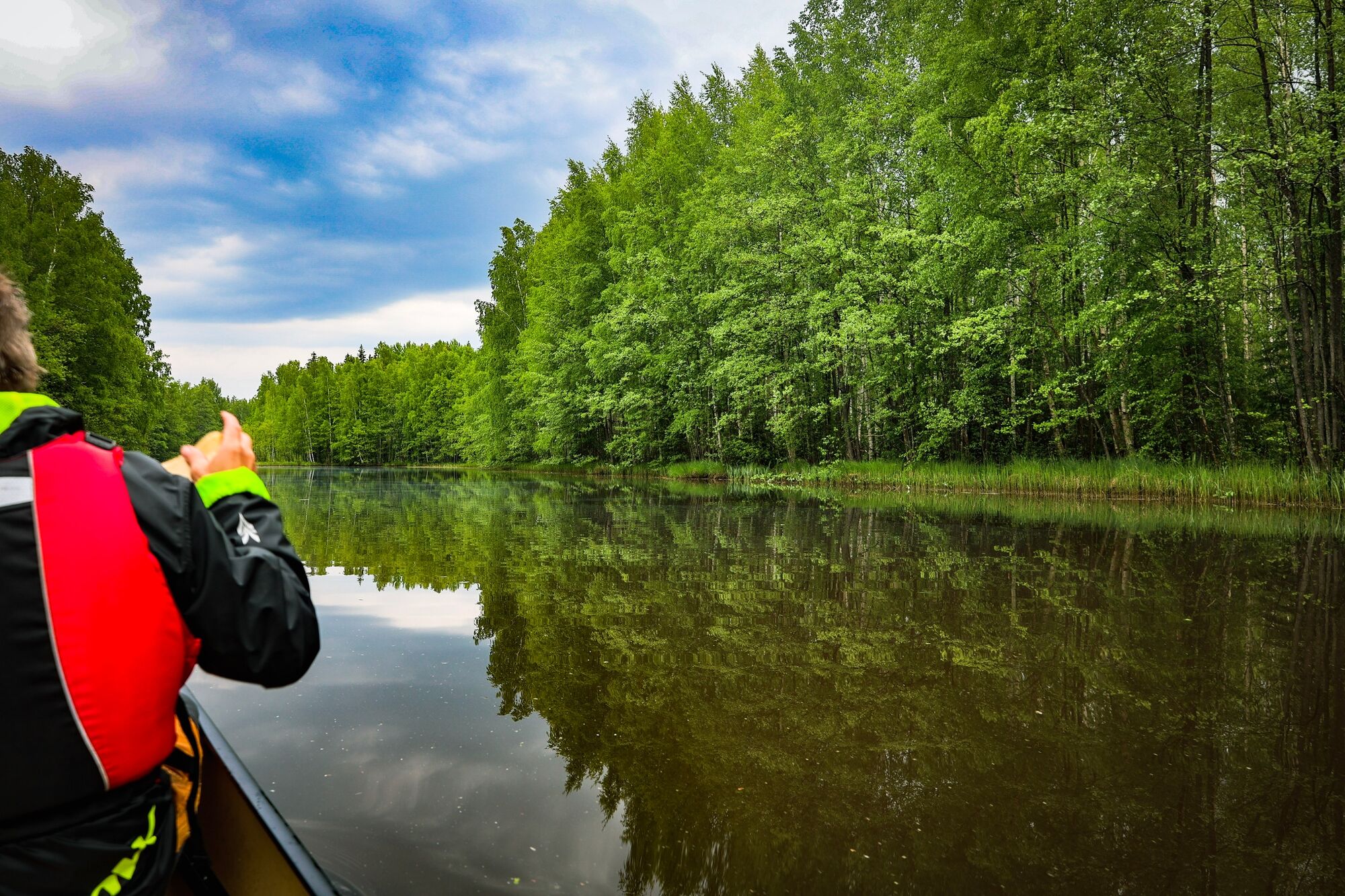
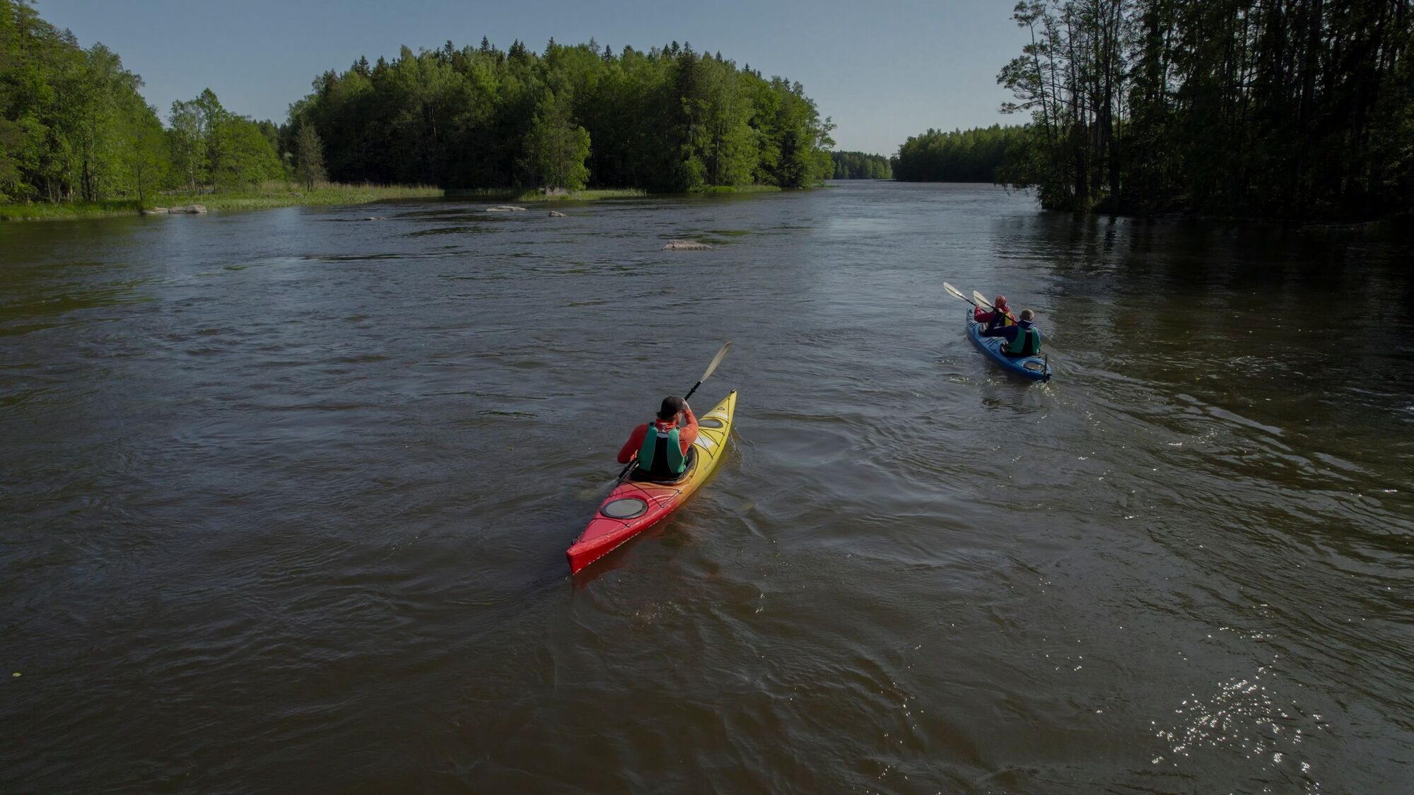
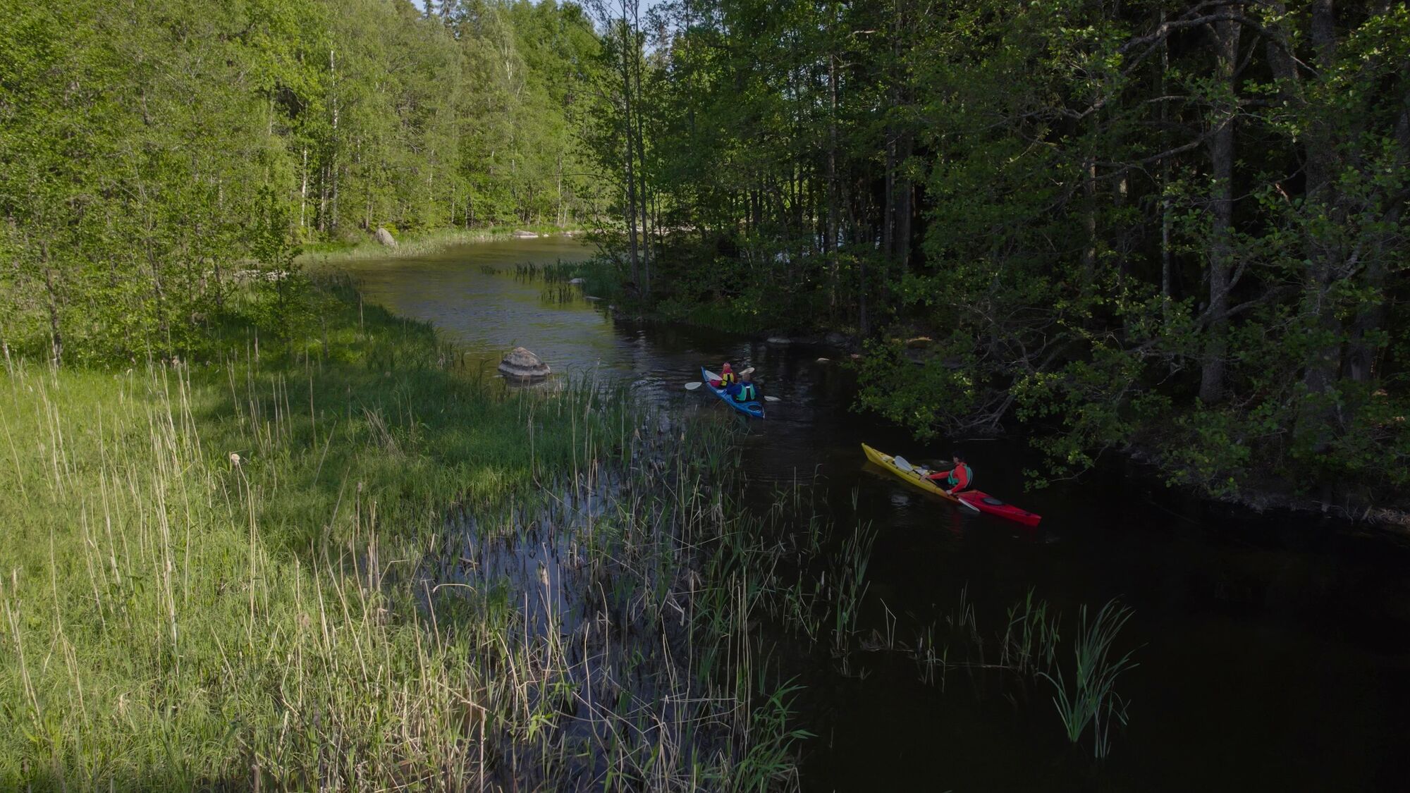

After about a kilometre of paddling, the river branch joins a larger stream, which also continues downstream.
The route follows the left side of the islands ahead.
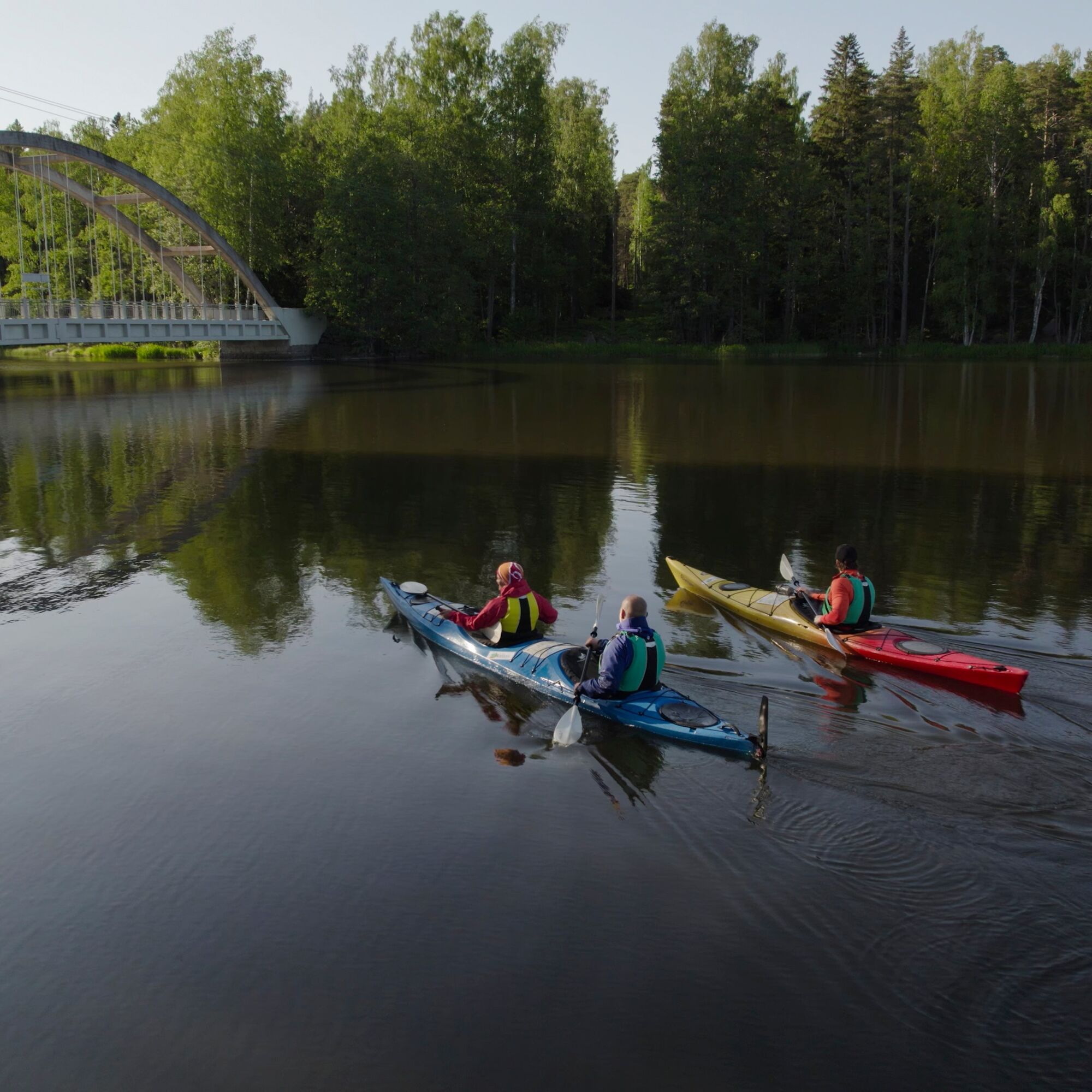
When the Savukoski bridge comes into view, it is time to turn back.
From here the route goes around the same islands (6 of them) from the other side.
The current is weaker on this side and therefore easier to paddle upstream.
At the Hellinkoski shelter is the most flowing part of the route.
By circling the banks you can bypass the hardest sections of the river.
At the confluence of the river branches, choose the left branch to Strömfors.
The rest of the route can be paddled along the same route as the outward journey, or you can choose a small left streambed that goes under an old building at the end.
Áno
Other equipment to consider
Helmet Dry and wet suit if necessary White light if paddling in the dark Extra paddleThere are no choppy spots, but there are small eddies that can be a challenge for the inexperienced canoeist.
General guidelines
Don't go kayaking alone or without telling anyone Make sure you can read the map and map markings Practise rescue techniques, at least pair rescues Always keep your mobile phone waterproofed in the pocket of your paddling vest Store an emergency number in your phone's speed sure you have an up-to-date weather forecast Make sure you have the right and adequate equipment Do not paddle under the influence of alcohol or other drugsWeather and paddling
Be prepared for changes in the weather. Stormy weather, fog, poor visibility, darkness or sudden heat can quickly surprise you and make paddling difficult.
If the weather worsens, consider whether it is possible to change the route to make it safer, whether it is worth continuing or going back.
Choose a route that is appropriate to your skills and equipment.
Pack anything that gets wet in a waterproof container and protect your sleeping bag in particular.
Use good quality equipment and make sure it is intact when you set off.
Also make sure you know how to use all your equipment.
Pack enough food and drink, at least for one extra day.
Please note that food spoils more quickly in warm weather.
In case of emergency, the general emergency number is 112.
If you get lost, find out where you are before continuing.
If you are unsure of your whereabouts, return to the last place where you were sure of your location.
If you fall over, the first place to go for rescue is to a canoe or the nearest shore.
Change into dry clothes so you don't catch cold.
If the situation is serious, call the public emergency number.
On the E-18 motorway to Loviisa, take ramp 68 and follow the directions to your destination.
The distance from the stop to Strömfors area is about five kilometres. A shuttle service from the stop with a local taxi company costs less than 20 euro www.taksihill.fi
Free parking at the destination
Also remember to tell someone your departure and return times, so they know where to find you if something happens on the route.
At the point where the route turns back, you can see Ahvenkoski Manor, originally built in the 16th century, but its old main building was destroyed by fire in 1859. The main building of the present Ahvenkoski Manor was built by Major General Juhana Henrik Clayhills between 1892 and 1895 and was restored to its present appearance in 1911.
The main building of the manor is one of the few manor buildings of the turn of the 1800s and 1900s. It is villa-like with its towers and open porches. The drawings were made by Carl C:son Armfelt. The grey stone granary and the former stables were probably also designed by Armfelt. The garden was designed by Paul Olsson. The manor house is now private property and there is no permission to go ashore on the estate's land.
The Savukoski bridge was built south of the old crossing in 1926-1928, when the road over the Kymijoki River was realigned. The bridge was built by the Danish company Christiani & Nielsen. The bridge was built using a cable car and when completed it was technically unique in the world. The bridge was decommissioned when the next new road and bridge were completed below the Ahvenkoski power station in 1967. The Savukoski bridge was renovated as a museum bridge in the 1980s.
Obľúbené výlety v okolí
-
By luck and bike, cultural route
svetloCyklistika 88,3 km -
Canoe expedition Inkeroinen - Kotka
strednáKajak / Kanu 93,7 km -
Pyhtää branch canoeing route of Kymijoki River
strednáKajak / Kanu 68,9 km -
Kukuljärvi route and Branni's cave, Loviisa
strednáTuristika 9,30 km -
Karlinsaari canoeing and stand-up paddleboarding route (Strömfors, Loviisa)
svetloKajak / Kanu 8,68 km -
Paddling expedition Inkeroinen - Loviisa
strednáKajak / Kanu 95,0 km -
Kymijoki River from pond to pond canoeing route, (Pyhtää, Loviisa)
svetloKajak / Kanu 11,8 km -
Loviisa - Ravintola Strömforsin Klubi - Ruotsinpyhtää - Ingermaninkylä
Diaľková cyklotrasa 51,3 km -
Kylpylä - Lappeen Marian kirkko - Variskallio - Lentokenttä
Motorrad 240,1 km -
Kotka - Street Food Factory - Pyhtää - Loviisa
ťažkéŠtrkový bicykel 97,4 km
Turistika a stopovanie


Nenechajte si ujsť ponuky a inšpiráciu na ďalšiu dovolenku
Vaša e-mailová adresa bol pridaný do poštového zoznamu.





